 Block
Selma, Alabama
15 topographic sheets cover this place, the earliest surveyed in 1953 and the latest in 1986. It stands in the Selma census division. It lies in ZIP code area 36701. It stands on Beech Creek. The Survey maps it on the Selma quadrangle. 17,971 people lived here at the 2020 count. It stands 125 feet above sea level.
Research this city
On record in Selma
Buildings and businesses the archive holds for this place. Each opens its own page, with the source record it came from.
On the National Register 12 of 24 shown
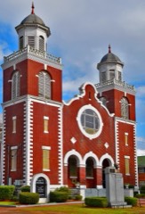 Brown Chapel African Methodist Episcopal ChurchNational Historic Landmark · listed 1982
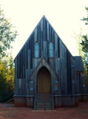 Cahabalisted 1973
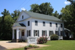 Carlowville Historic Districtlisted 1978
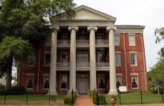 Dallas County Courthouselisted 1975
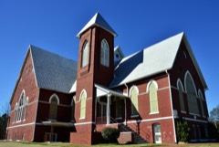 First Baptist Churchlisted 1979
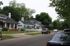 Icehouse Historic Districtlisted 1990
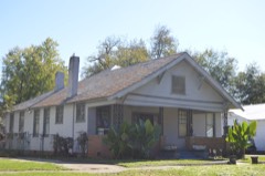 Sullivan & Richie Jean Jackson Houselisted 2014
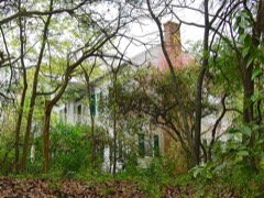 Marshall's Grovelisted 1982
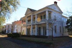 John Tyler Morgan Houselisted 1972
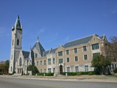 Old Town Historic Districtlisted 1978
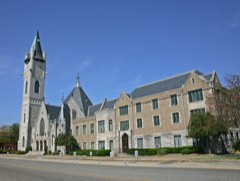 Old Town Historic District Boundary Increase and Additional Documentationlisted 2003
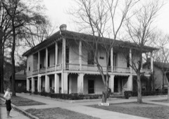 Wesley Plattenburg Houselisted 1993
Every listing in Dallas County
Surveyed buildings and structures 12 of 22 shown
- A. T. Mabry House, 629 Tremont Street, Selmafederal building survey, 5 photographs
- Bell-Bennett House, 412 Lauderdale Avenue, Selmafederal building survey, 2 photographs
- C. Jones House, 433 Lauderdale Avenue, Selmafederal building survey, 2 photographs
- Dallas Compress Company, 2010 Alabama Avenue, Selmafederal building survey, 18 photographs
- Dan Kenan House, Summerfield Road (County Road 37), Selmafederal building survey, 12 photographs
- Dawson-Vaughan House, 704 Tremont Street, Selmafederal building survey, 11 photographs
- Doctor Harper House, State Highway 219 & County Road 344, Selmafederal building survey, 6 photographs
- Dr. Kirkpatrick House, 601 Washington Street, Selmafederal building survey, 3 photographs
- Edmund Pettus Bridge, U.S. Highway 80 spanning the Alabama River, Selmafederal building survey, 4 photographs
- First Christian Church Property (House), 207 Franklin Street, Selmafederal building survey, 1 photograph
- Harvey L. McKee House, 911 Mabry Street, Selmafederal building survey, 5 photographs
- J. A. Minter & Son Plantation, 3 County Road 462, Selmafederal building survey, 21 photographs
Population over time
2 figuresSelma fell from 20,756 to 17,971 between 2010 and 2020. These are the recorded population figures Wikidata holds for this place, reached through the Geographic Names Information System number this page is keyed on rather than by name, so they belong to this place and not to another of the same name. Most are census counts, but not all are: an early figure may be a founding or settlement estimate, and an estimate published within five years of a census is left out. The change column is computed, and is left blank where more than 20 years separate a figure from the one before it, because a gap that long is not a change between two counts.
| Year | People | Change |
|---|---|---|
| 2010 | 20,756 | |
| 2020 | 17,971 | -2,785 (-13%) |
Topographic sheets covering this place
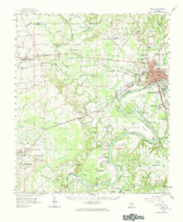
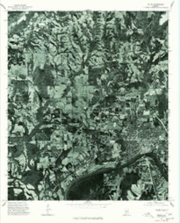
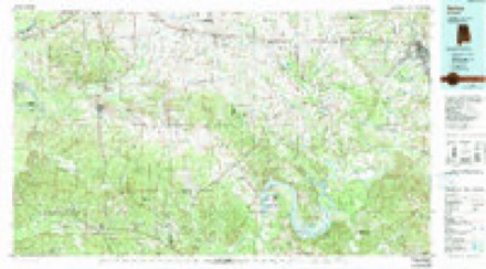
7 surveys from 15 printed sheetsMatched by testing this settlement's coordinate against the published boundary of every sheet in the United States Geological Survey's historical collection. Each opens the scanned sheet at the Survey.
- 1953 USGS Montgomery quadrangle1:250000, 4 printings
- 1956 USGS Montgomery quadrangle1:250000
- 1957 USGS Montgomery quadrangle1:250000
- 1958 USGS Selma quadrangle1:24000, 3 printings
- 1958 USGS Selma quadrangle1:62500, 3 printings
- 1975 USGS Selma quadrangle1:24000
- 1986 USGS Selma quadrangle1:100000, 2 printings
Photographs
8 of 45 photographs shown, 1936 to 1941Taken for the Office of War Information and the Farm Security Administration, who photographed the country between 1935 and 1944. Works of United States government photographers, with no known restriction on use. Each opens its catalogue record.
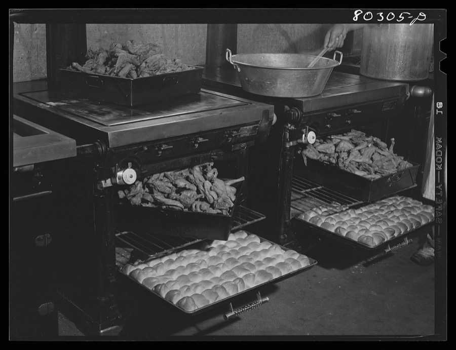
Collier, John, Jr, 1941. Library of Congress
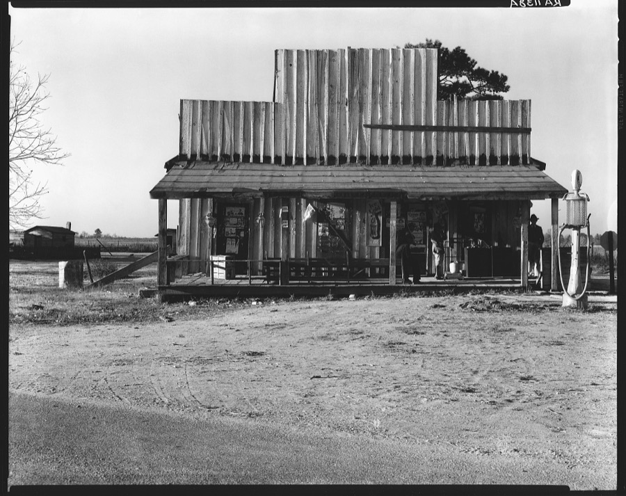
Evans, Walker, 1936. Library of Congress
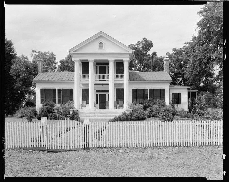
Johnston, Frances Benjamin, 1939. Library of Congress
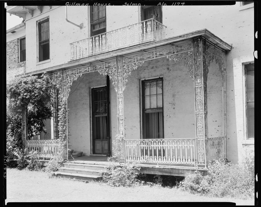
Johnston, Frances Benjamin, 1939. Library of Congress

Collier, John, Jr, 1941. Library of Congress
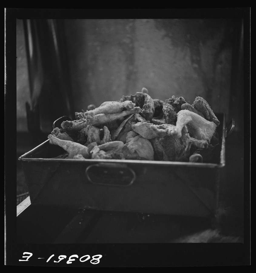
Collier, John, Jr, 1941. Library of Congress
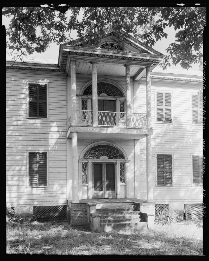
Johnston, Frances Benjamin, 1939. Library of Congress

Collier, John, Jr, 1941. Library of Congress
Every photograph of Dallas County
Fires near this place
149 since 1994Regional context, not property-specific evidence. The federal wildfire occurrence database lists 149 fires within 5 miles of Selma between 1994 and 2020, burning about 607 acres in total. None started naturally. 6 were recorded as arson. Distance is straight-line from the map coordinates, so a fire counted here may appear on a neighbouring settlement's page as well.
| Reported cause | Fires |
|---|---|
| Debris and open burning | 78 |
| Missing data/not specified/undetermined | 23 |
| Equipment and vehicle use | 18 |
| Recreation and ceremony | 11 |
| Misuse of fire by a minor | 8 |
| Arson/incendiarism | 6 |
| Railroad operations and maintenance | 4 |
| Power generation/transmission/distribution | 1 |
The most recent of them, most recent first, with the day each was reported and the service that recorded it.
| Date | Cause | Size | Reported by | Name on the report |
|---|---|---|---|---|
| 9 September 1995 | Recreation and ceremony | 8.0 acres | Alabama Forestry Commission | not named |
| 8 September 2019 | Debris and open burning | 2.0 acres | Alabama Forestry Commission | 20190908-2 |
| 6 September 2005 | Debris and open burning | under an acre | Alabama Forestry Commission | not named |
| 28 September 2006 | Debris and open burning | 1.0 acres | Alabama Forestry Commission | not named |
| 27 September 1998 | Missing data/not specified/undetermined | 7.0 acres | Alabama Forestry Commission | not named |
| 25 September 2008 | Debris and open burning | 4.5 acres | Alabama Forestry Commission | 5027 CO.ROAD 77, AL |
| 25 September 2004 | Debris and open burning | 5.0 acres | Alabama Forestry Commission | not named |
| 22 September 2019 | Debris and open burning | 3.6 acres | Alabama Forestry Commission | 20190922-22 |
Settlements close enough to share some of these fires:
Mines and quarries near this place
10 within 5 milesRegional context, not property-specific evidence. The federal mineral resources record lists 10 workings within 5 miles of Selma: 9 producers, 1 past producer. 9 still produce. What was taken out: Sand and Gravel, Construction, Clay, Stone, Crushed/Broken. Distance is straight-line from the map coordinates, so a quarry counted here may appear on a neighbouring settlement's page as well.
| Where | Site | Commodity | Status | Recorded |
|---|---|---|---|---|
| Decatur Quarry | Stone, Crushed/Broken | Producer | ||
| Henry Pit | Clay | Producer | ||
| Alabama River Pit | Sand and Gravel, Construction | Producer | ||
| Cosby No. 1 | Sand and Gravel, Construction | Producer | ||
| Cosby Number 2 Quarry | Sand and Gravel, Construction | Producer | Unconsolidated Sediments | |
| Dallas County Pit | Sand and Gravel, Construction | Producer | ||
| Dallas Sand and Gravel Co. Pit | Sand and Gravel, Construction | Past Producer | ||
| Plantersville Pit | Sand and Gravel, Construction | Producer | ||
| Selma Plant #2 | Sand and Gravel, Construction | Producer | ||
| Selma Quarry | Sand and Gravel, Construction | Producer | Unconsolidated Sediments |
Storms near this place
60 of 74 shownRegional context, not property-specific evidence. The National Weather Service names Selma in 74 storm reports between 1994 and 2026: 44 thunderstorm wind, 22 hail, 5 flash flood, 2 tornado. The reports record 1 injury. Each account below is quoted exactly as the forecast office filed it, from the NOAA Storm Events Database, and each date opens the federal record of that event.
| When | Event | Place named | Harm | What the report says |
|---|---|---|---|---|
| April 1997 | Thunderstorm Wind | Selma | 1 hurt, $10,000 | Thunderstorm wind blew off part of a garage roof and knocked several trees down and onto roofs. One man sustained a broken hip and leg in the storm when a tree fell onto the garage that he was standing in. |
| March 1994 | Thunderstorm Wind | Selma | $50,000 | Wind with a thunderstorm took 150 square feet of roof from a building at the Selma Flea Market. |
| April 2003 | Hail | Selma | $35,000 | Hail up to the size of tennis balls was reported as the storm crossed far northern Dallas County. |
| November 2005 | Tornado (F0) | Selma | $28,000 | National Weather Service meteorologists surveyed the damage that affected areas north of Summerfield and near Paul M Grist State Park. It has been determined that the damage was the result of a tornado. The tornado has been rated an F0 on the Fujita Damage Intensity Scale. The tornado first touched down approximately 1.2 miles northwest of Summerfield near the intersection of County Road 16 and County Road 279. The tornado tracked in a northeastward direction and crossed County Road 39 twice, County Road 37, and County Road 222. The tornado lifted just northeast of the intersection of County Road 37 and County Road 222. This location is just south of Paul M. Grist State Park. The tornado damage path was approximately 5.8 miles long and 50 yards wide at its widest point. The tornado was on the ground from approximately 453 PM CST to 502 PM CST. Along the damage path, numerous large trees were snapped off and uprooted. A few homes and mobile homes sustained shingle damage. One large tree fell on a home and caused damage. One mobile home was pushed off its foundation. Several sheds or out-buildings sustained moderate damage.Begin: 32.5258/87.0651 End: 32.5790/86.9875 |
| June 2003 | Thunderstorm Wind | Selma | $25,000 | A large tree fell onto a home in Selma. The fallen tree caused moderate damage to the home and an automobile. |
| March 2001 | Flash Flood | Selma | $25,000 | Major street flooding occurred in Selma. Several automobiles were flooded and damaged. |
| March 1995 | Thunderstorm Wind | Selma | $24,000 | Trees were reported down just west of Selma on Alabama Highway 219 and one house damaged when a tree was toppled by thunderstorm winds. Numerous power lines were also downed along Alabama Highway 219. |
| July 2009 | Thunderstorm Wind | Selma | $23,000 | At least 10 trees were blown down around the city of Selma, including a few that fell onto homes and caused significant damage. At least one of the homes' occupants was briefly trapped, but was otherwise uninjured. |
| November 2004 | Tornado (F0) | Selma | $22,000 | no account filed |
| July 1998 | Thunderstorm Wind | Selma | $20,000 | A downburst hit Craig Field and knocked down numerous trees, a few doors were blown out, there was roof damage to a few buildings and tractor trailer was over turned. |
| August 1997 | Thunderstorm Wind | Selma | $15,000 | Two homes that were side by side were damaged by a downburst. Several trees were down on the homes, and there was damage to the front porch, kitchen, and roof of one home and to two bedrooms of the other. |
| June 1998 | Thunderstorm Wind | Selma | $15,000 | no account filed |
| June 1996 | Lightning | Selma | $15,000 | no account filed |
| July 2003 | Thunderstorm Wind | Selma | $13,000 | Trees and power lines were blown down on the west side of Selma. A few of the trees blocked roadways. |
| July 2012 | Thunderstorm Wind | Selma | $10,000 | A weak microburst resulted in approximately two dozen trees being blown down in and around Selma. |
| October 2007 | Thunderstorm Wind | Selma | $10,000 | Trees and power lines were blown down at several locations in the city of Selma. |
| April 2003 | Thunderstorm Wind | Selma | $10,000 | A few power lines were blown down around the city of Selma. |
| April 2000 | Thunderstorm Wind | Selma | $10,000 | Numerous trees and power lines were blown down south and southeast of the city of Selma. One business had significant roof damage. |
| June 1998 | Thunderstorm Wind | Selma | $10,000 | Power lines were down at Old Orrville Rd and AL 219. |
| May 1996 | Thunderstorm Wind | Selma | $10,000 | no account filed |
| September 1996 | Thunderstorm Wind | Selma | $10,000 | no account filed |
| April 2005 | Hail | Selma | $9,000 | Hail up to the size of golf balls fell across central Dallas County. This was the second large hail producing storm to affect areas near Selma within an hour or so. |
| April 2005 | Hail | Selma | $8,000 | Quarter to golf ball size hail was reported from near Selma eastward to near the Alabama River. |
| July 2005 | Flash Flood | Selma | $8,000 | State Highway 5 southwest of Selma was closed due to flooding and a mud slide. |
| August 1999 | Thunderstorm Wind | Selma | $8,000 | One tree was blown down and fell onto a house. This caused minor damage to the roof of the home. A service station and car wash also reported minor roof damage. |
| August 2007 | Thunderstorm Wind | Selma | $5,000 | A tree fell down on a power line on 6th Avenue, in Selma. |
| April 2003 | Hail | Selma | $5,000 | Golf ball size hail was reported with the left split member of Supercell 7 near Selma. This storm quickly dissipated across western Autauga County and may have produced additional hail but no reports were received. |
| March 2000 | Thunderstorm Wind | Selma | $5,000 | Trees and power lines were knocked down in Selma. Some plate glass windows were broken. CR 44 three miles west of US 80 was temporarily closed due to trees blocking the road. Trees were also reported down in Selmont. |
| June 1999 | Hail | Selma | $5,000 | Golfball size hail was reported northeast of Selma near Potters' Station. |
| August 1998 | Thunderstorm Wind | Selma | $5,000 | A few large trees were blown down at Craig Field and reportedly blown about 500 feet. |
| April 1997 | Thunderstorm Wind | Selma | $5,000 | A few trees were blown down in Selma. |
| May 1996 | Hail | Selma | $5,000 | no account filed |
| August 2006 | Thunderstorm Wind | Selma | $4,000 | Several trees and power lines were blown down in and around downtown Selma. |
| August 2000 | Thunderstorm Wind | Selma | $4,000 | A few trees were knocked down in and around the city of Selma. A few trees were also blown down in others locations in northern Dallas County. |
| April 2011 | Thunderstorm Wind | Selma | $2,000 | Trees were blown down along Old Montgomery Road, south southeast of Selma. |
| June 2007 | Thunderstorm Wind | Selma | $2,000 | A few trees were blown down near County Road 37. |
| August 2006 | Thunderstorm Wind | Selma | $2,000 | A few trees were blown down in the Valley Grande area. |
| June 2001 | Thunderstorm Wind | Selma | $2,000 | Trees were blown down along SR 219 near Selma. A few other locations also reported some trees down in northern Dallas County. |
| August 1997 | Thunderstorm Wind | Selma | $2,000 | Trees were down on SR 14 near SR 219. |
| July 1995 | Thunderstorm Wind | Selma | $2,000 | Alabama State Troopers reported trees down in the southeast part of Selma near the intersection of United States 80 and Alabama 140. |
| June 1998 | Hail | Selma | $2,000 | no account filed |
| December 2011 | Thunderstorm Wind | Selma | $1,000 | A tree was reported down across a road near the junction of US Highway 80 and Alabama Highway 41. |
| April 2009 | Thunderstorm Wind | Selma | $1,000 | A few trees were blown down north of Selma. |
| July 2009 | Thunderstorm Wind | Selma | $1,000 | Winds estimated around 45 mph blew a tree down onto a power line, west of Selma. |
| April 2005 | Hail | Selma | $1,000 | Penny size hail was reported just east of Selma. |
| June 2008 | Thunderstorm Wind | Selma | $500 | Several trees were blown down in and around Selma. |
| January 2026 | Thunderstorm Wind | Selma | - | Power outages were reported around Dallas County with sporadic tree damage. A tree fell on a house along Warrior Dr west of Valley Grande. |
| March 2025 | Thunderstorm Wind | Selma | - | Multiple reports of trees down including Cecil Jackson Bypass, River Road, and County Road 304. |
| January 2020 | Thunderstorm Wind | Selma | - | Several trees uprooted and power lines downed in the city of Selma. |
| July 2017 | Thunderstorm Wind | Selma | - | Several trees uprooted on Dallas Avenue in the city of Selma. |
| August 2015 | Thunderstorm Wind | Selma | - | Ten to twenty trees uprooted in the city of Selma. |
| August 2013 | Flash Flood | Selma | - | Over three inches of rain fell across Selma, causing street flooding across much of the northern portion of the city. Six to 12 inches of water was reported across Citizens Parkway and Earl Goodwin Parkway. In addition, water flowed into at least four houses on Barret Rd. |
| July 2013 | Thunderstorm Wind | Selma | - | Several trees were uprooted, along with downed powerlines in and around Selma. The Crown Chicken building sustained minor roof damage and several homes were damaged due to fallen trees. |
| June 2013 | Thunderstorm Wind | Selma | - | Several trees were reported down across the Selma area. Locations of uprooted trees include Moore's Ferry Road, Earl Goodwin Parkway, Cedar Drive, Highland Avenue, Pardue Drive in Valley Grande, as well as Hooper Drive and Kingsbend Road in Selmont. Additionally, a tree fell on a home on Medical Center Parkway in Selma. |
| June 2013 | Thunderstorm Wind | Selma | - | Power lines were down and power poles broken in half along Parkman Avenue. |
| June 2013 | Thunderstorm Wind | Selma | - | A Flea Market near the Highway 140 Bypass in Selma had part of its roof removed. |
| September 2012 | Thunderstorm Wind | Selma | - | Numerous trees and powerlines were reported down in downtown Selma. At least five structures had minor roof damage. |
| September 2012 | Flash Flood | Selma | - | A measured rainfall total of 9.64 inches fell in a few hours in Selma. Several roadways in Selma were impassable or washed out due to the excessive rainfall. Roadways that were completely washed out were County Road 403, County Road 412, County Road 428 and County Road 4. Estimated damage costs due to the roads being washed out was $728,514. Several structures sustained water damage, including Brantley Elementary School, Sherwin Williams, Rice Bank, and the Victor Nissan. Estimated property damage from structures was $365,000. |
| April 2011 | Hail | Selma | - | Quarter size hail was observed in Downtown Selma. |
| February 2007 | Hail | Selma | - | Reported in the Valley Grande community. |
Newspapers printed here
31,345 digitised pages1 paper published in this town, digitised by the Library of Congress and free to read: 8,344 issues, 31,345 pages. Every page is searchable, so a name or a street can be looked for directly in what the town printed about itself at the time.
| Newspaper | Published |
|---|---|
| Chattanooga Daily Rebel | 1865 |
What the paper printed
1,443 wordsFront pages of the local paper, read from the Library of Congress scans: 1 issue from 1865, 1,443 words in total. Each is reproduced on its own page, exactly as the recogniser returned it.
These pages read less well than anything else here, and the number is worth stating: about three words in four come through cleanly, against nine in ten for the building records. An 1896 broadsheet sets eight-point type in seven columns on microfilm, which is the hardest thing in this archive to read by machine. We tested our own recognisers against the Library's and they were not better, so the Library's text is what appears, with the wholly unreadable columns removed. Read it as a guide to what the paper covered, and follow the link to the scan before quoting anything.
| Issue | Paper | Length |
|---|---|---|
| 1865-04-25 | Chattanooga Daily Rebel | 1,443 words |
Nearest settlements
The eight closest, with where each one stands in the county. Distances are straight-line, computed from the Geographic Names Information System coordinates.
| Map | Place | Distance | Sheets |
|---|---|---|---|
| Selmont | 1.1 miles | 15 | |
| West Selmont | 1.1 miles | 15 | |
| Sunset Mill Village | 1.6 miles | 15 | |
| Brantley | 4.2 miles | 12 | |
| Potter | 4.9 miles | 15 | |
| Manila | 6.0 miles | 12 | |
| Casey | 6.8 miles | 12 | |
| Lily Grove (historical) | 6.9 miles | 12 |
Elsewhere
Matched on this settlement's Geographic Names Information System number rather than its name, so it cannot be a different place of the same name in another state.
| Wikipedia article on Selma | An encyclopaedic summary. Its text is share-alike, so it is linked here rather than copied. |
| Wikidata item Q79941 | The structured record the population and elevation above come from. Public domain (CC0). |
Provenance
This settlement is recorded in the Geographic Names Information System as feature 163940. The sheet list is computed by point-in-boundary test against the United States Geological Survey's historical topographic inventory. Both are works of the United States government and carry no copyright under 17 U.S.C. 105.
Wildfire. Short, Karen C. 2022. Spatial wildfire occurrence data for the United States, 1992-2020 [FPA_FOD_20221014]. 6th Edition. Fort Collins, CO: Forest Service Research Data Archive. https://doi.org/10.2737/RDS-2013-0009.6 Collected with United States Government funding and usable without additional permissions or fees.
Mines and quarries. USGS Mineral Resources Data System (MRDS) https://mrdata.usgs.gov/mrds/ A work of the United States government, no copyright under 17 U.S.C. 105.
Storms. NOAA National Centers for Environmental Information, Storm Events Database https://www.ncei.noaa.gov/stormevents/ A work of the United States government, no copyright under 17 U.S.C. 105. Narratives are quoted verbatim from the National Weather Service report and are not edited or summarised.