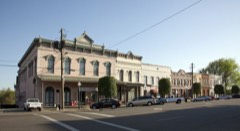
Block
From the record
35 National Register listings published here, 1 of them a National Historic Landmark.
Sources: the National Register database, National Park Service
71 topographic sheets and 9 fire insurance atlases across 1 place.
35 National Register listings published here, 1 of them a National Historic Landmark.
Sources: the National Register database, National Park Service
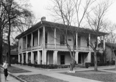
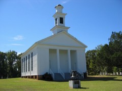
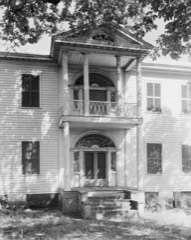
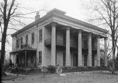
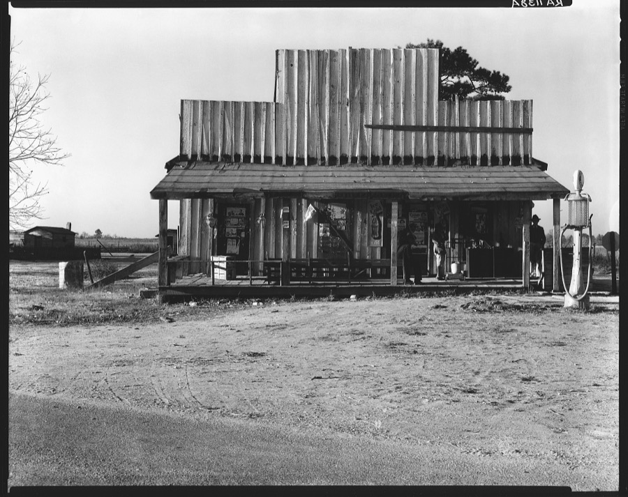
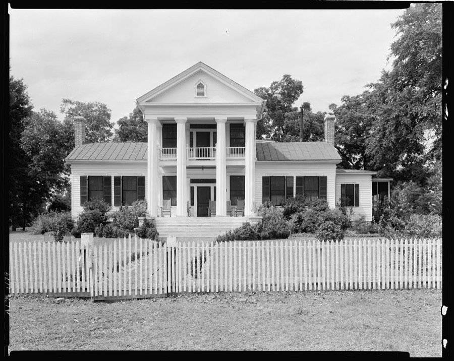
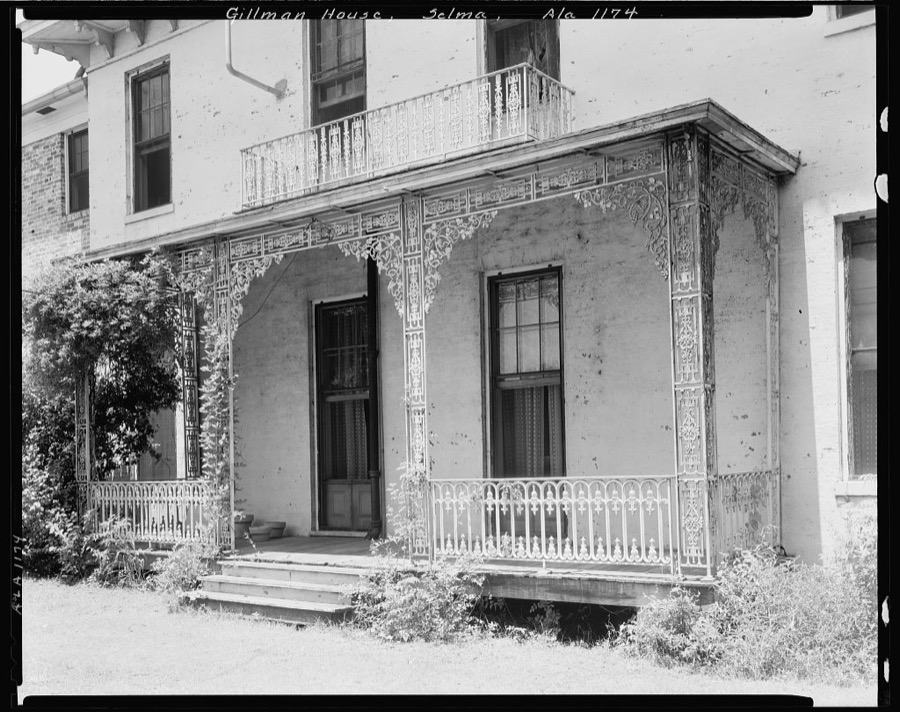
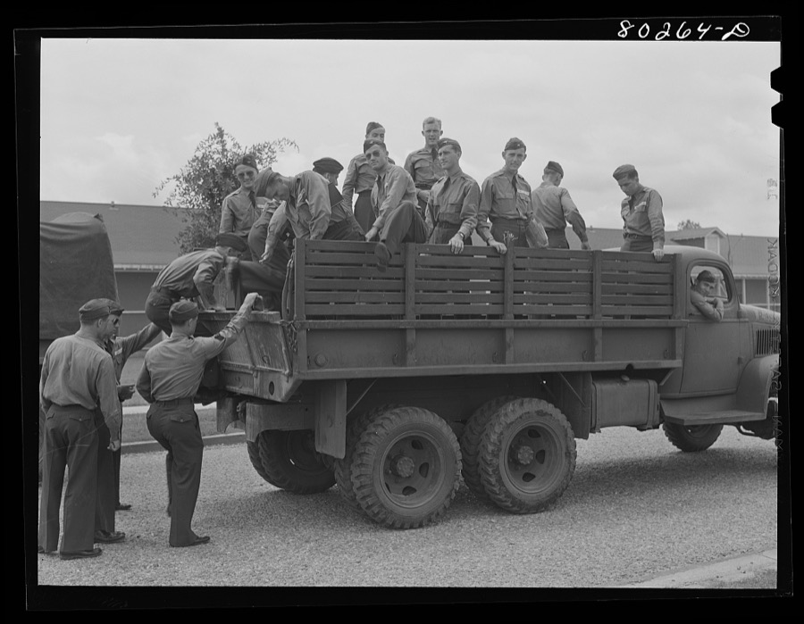
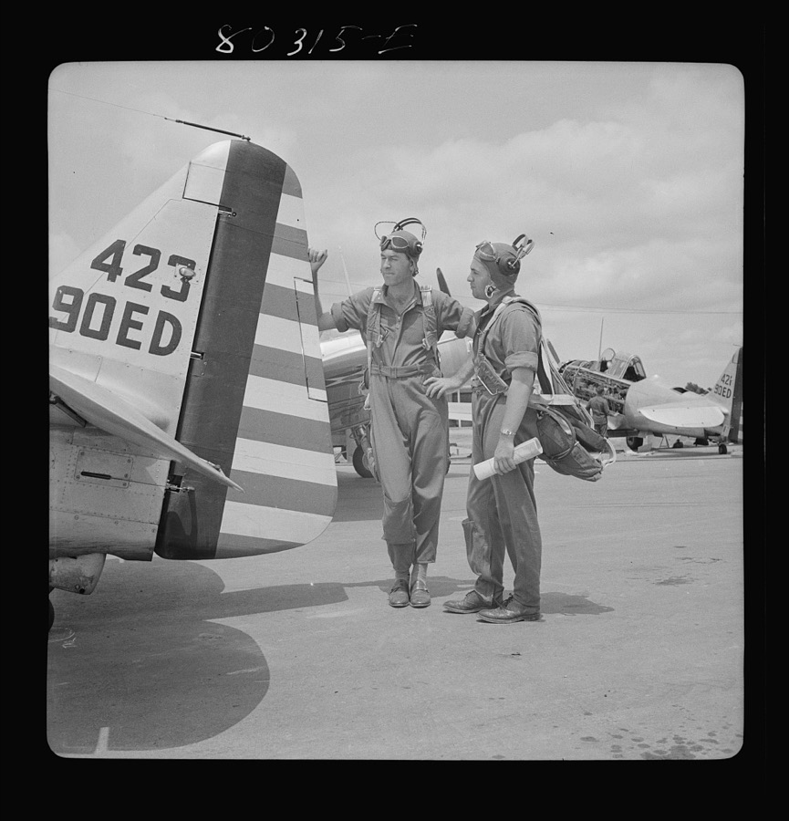
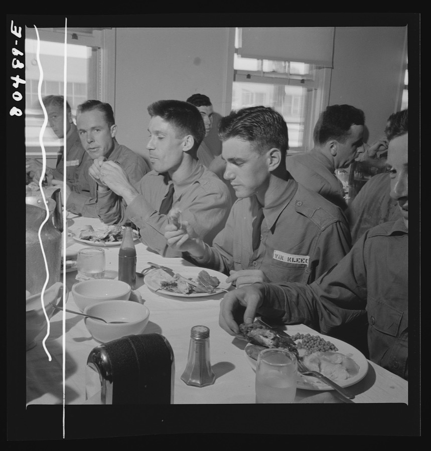
Taken for the Office of War Information and the Farm Security Administration, who photographed the country between 1935 and 1944. Works of United States government photographers, with no known restriction on use. Each opens its catalogue record.




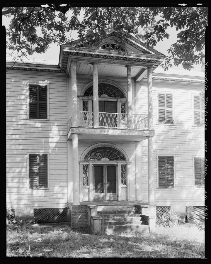

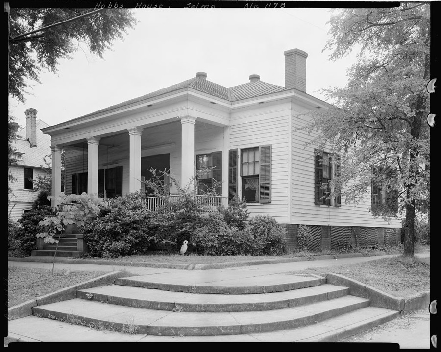
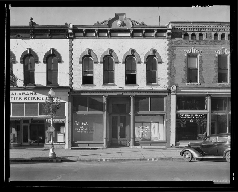
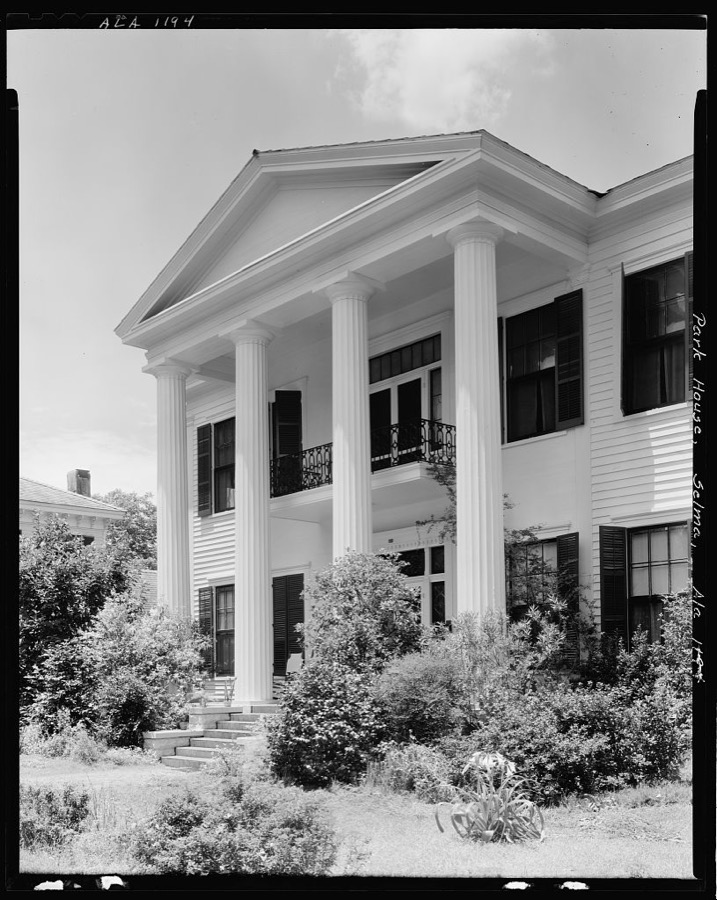
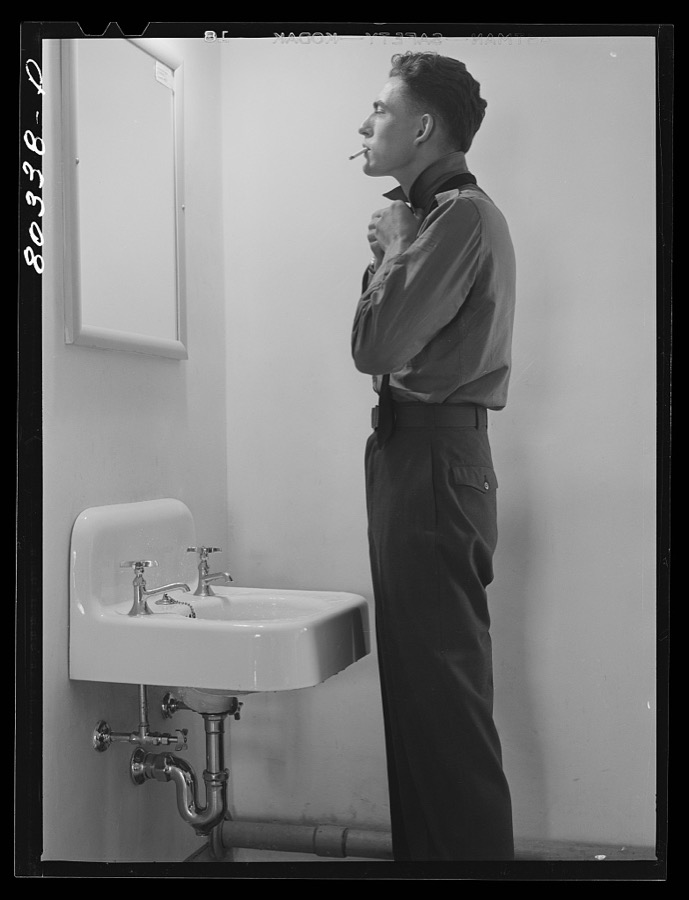
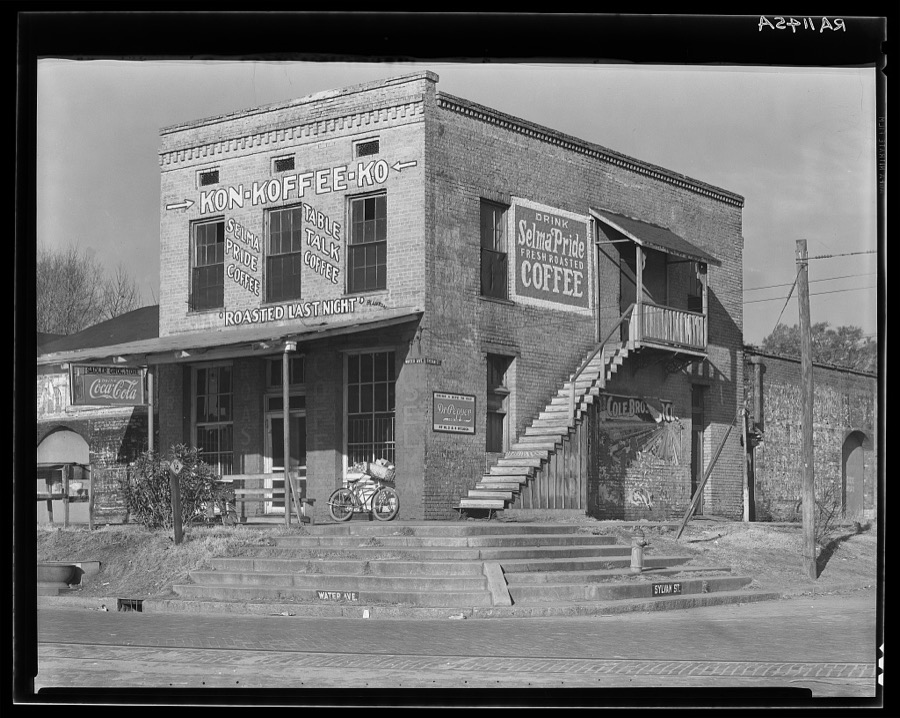

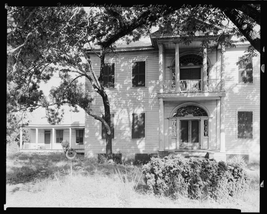
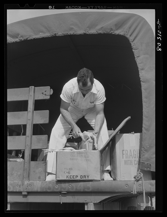

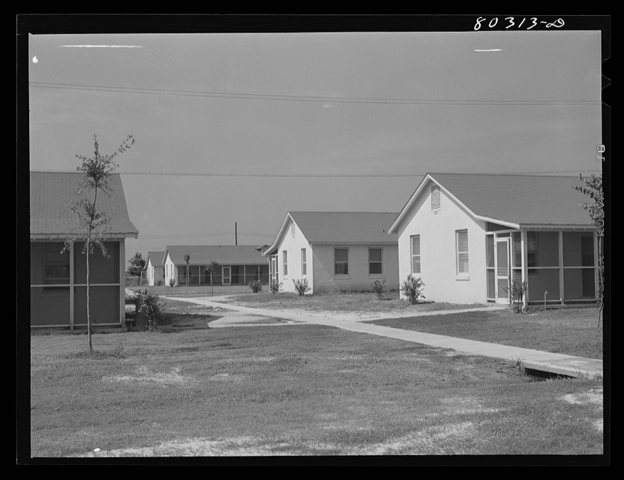

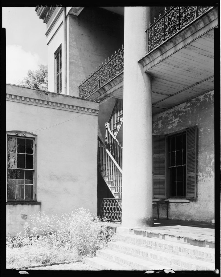


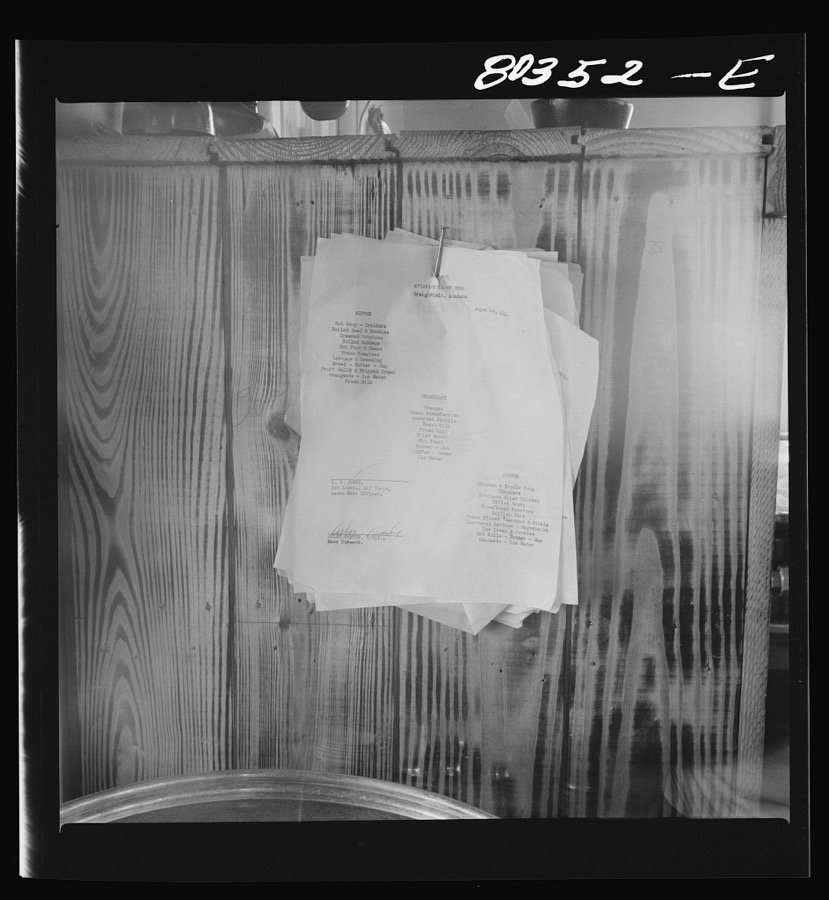
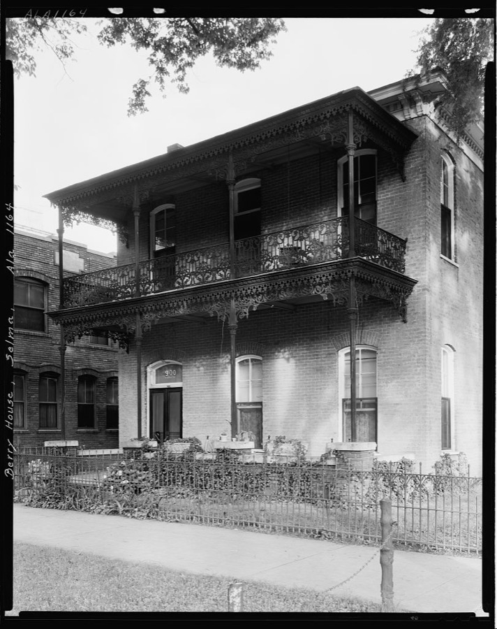

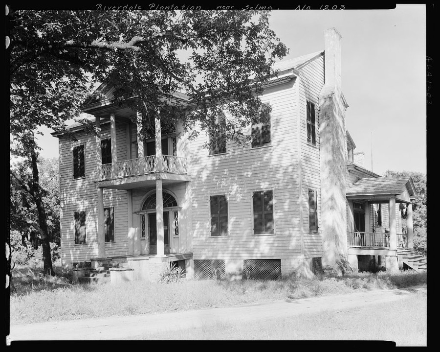
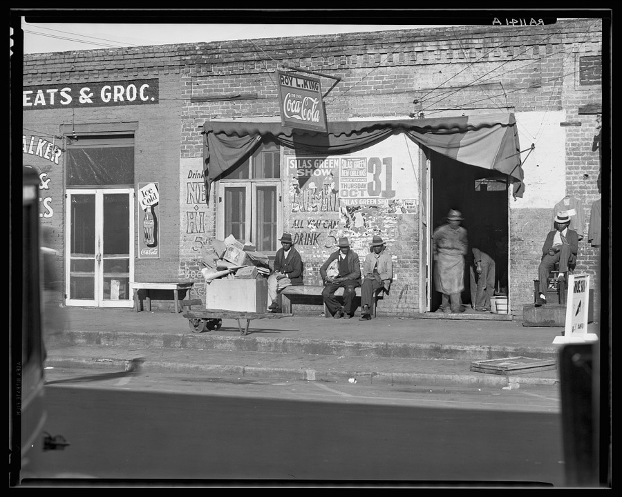
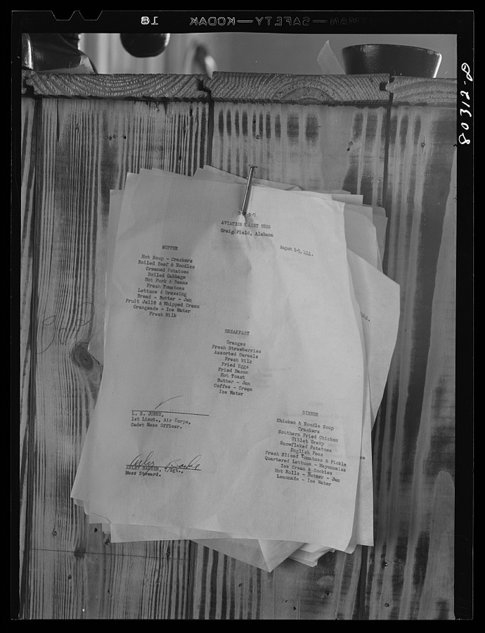


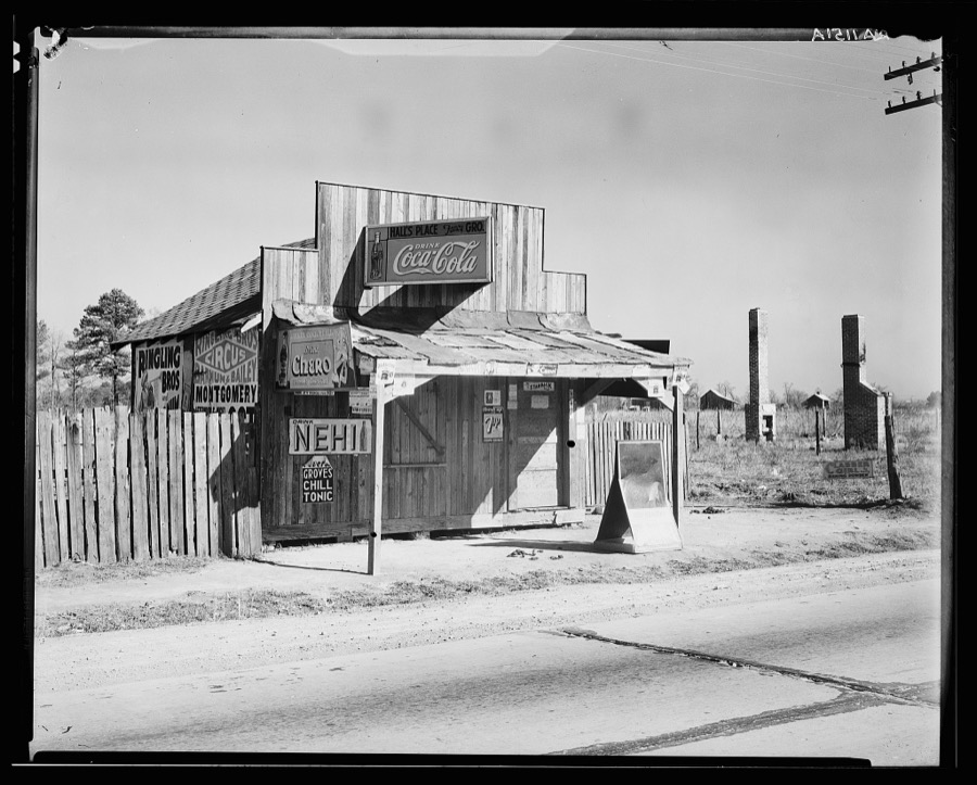

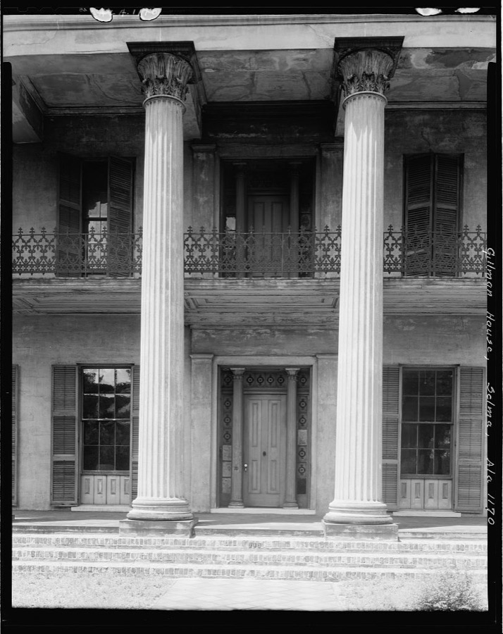
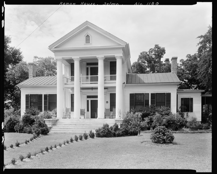

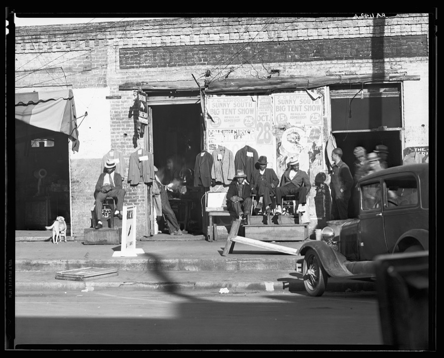
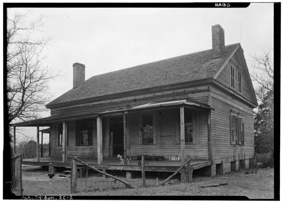
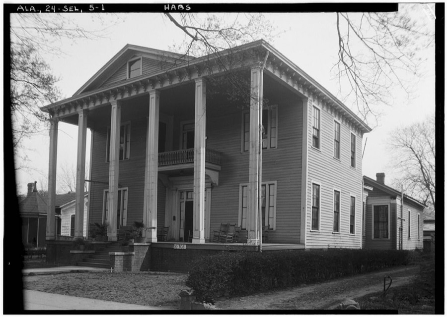
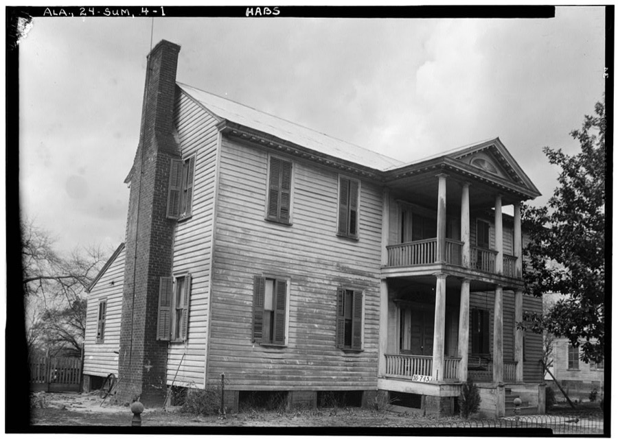
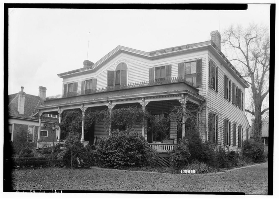
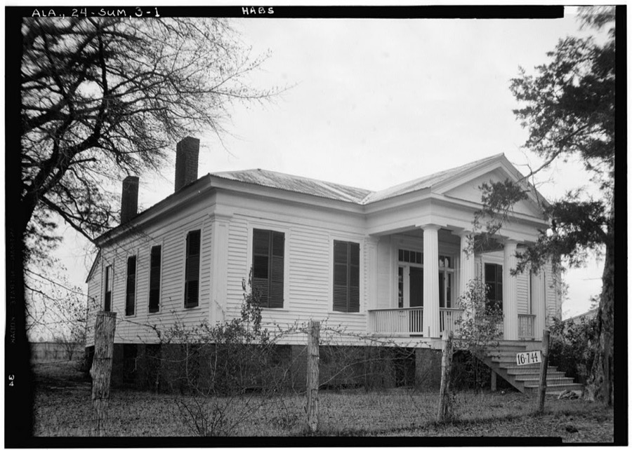
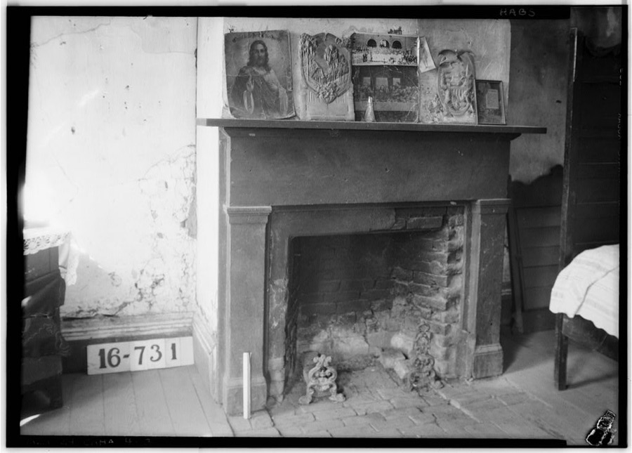
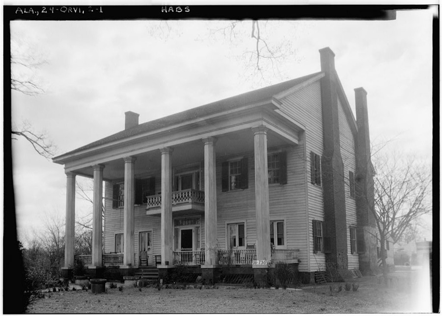
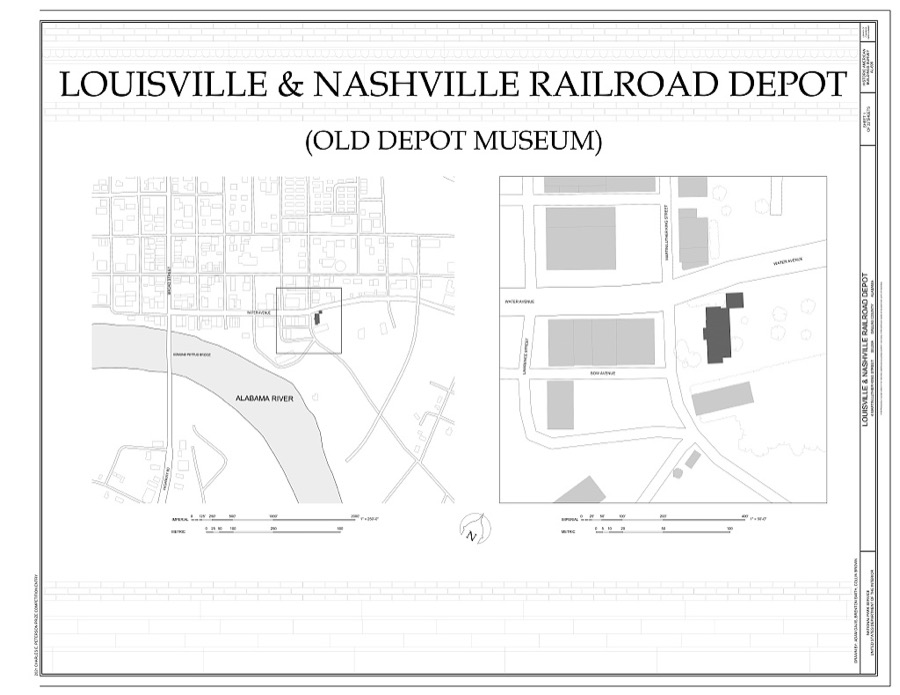
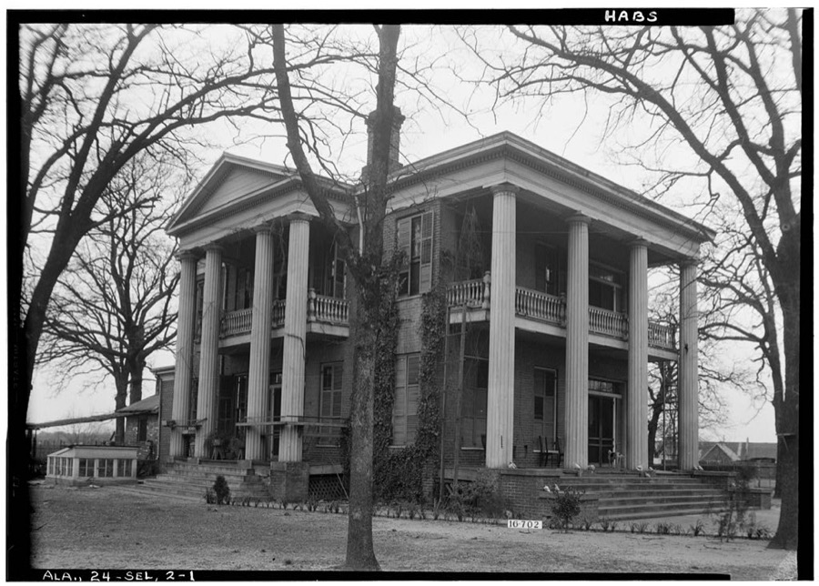
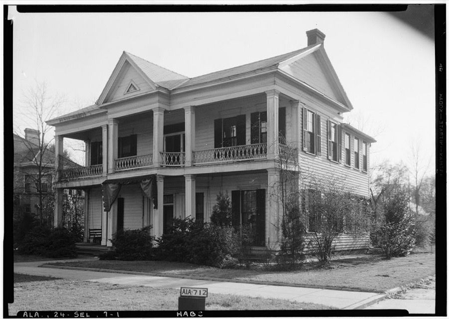
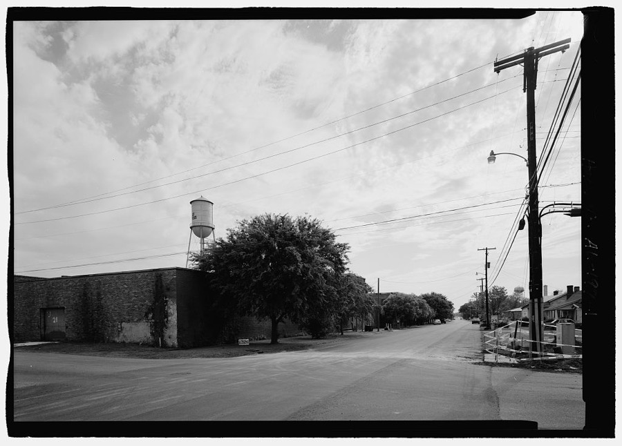
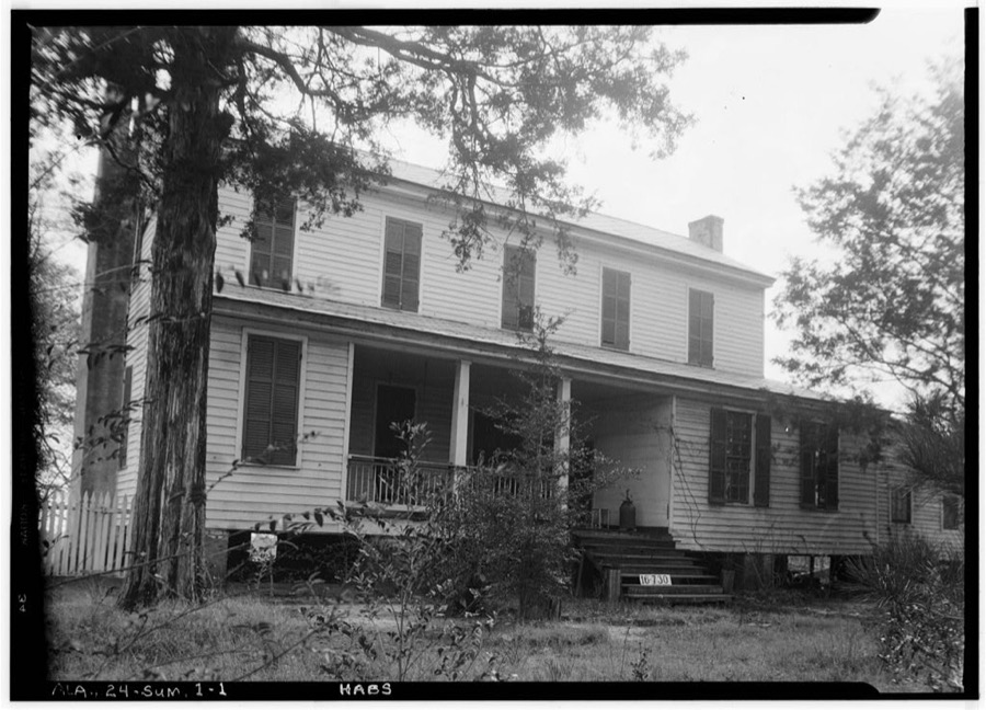
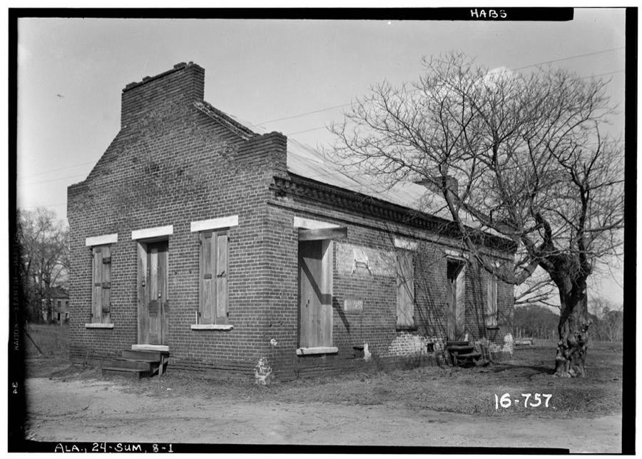
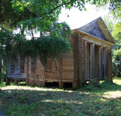
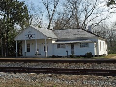
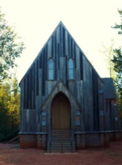
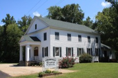
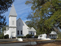
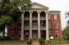
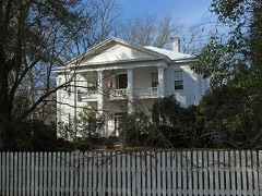
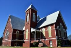
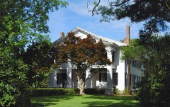
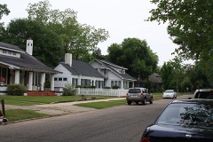
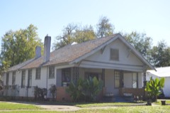
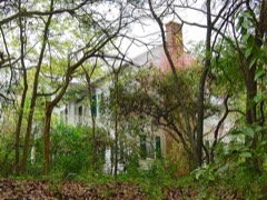
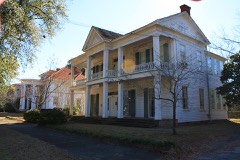
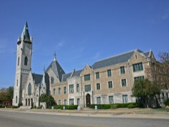
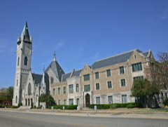
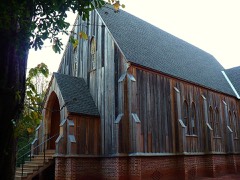
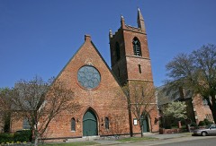
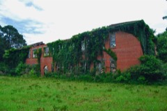
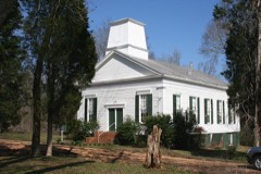
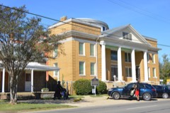
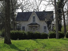
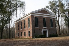
Every property in this county listed on the National Register of Historic Places, with the year it was listed and the federal nomination document.
Sampled issues, machine-read from the Library of Congress scan and published page by page, so every headline and column is searchable text.
Selma, Ala., 1865. Machine-read from the Library of Congress scan.
Drawn when these were printed as single large sheets: the town seen from the air, and the county divided into its farms with every owner named. Each opens the original at the Library of Congress.
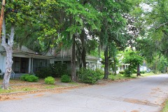
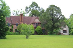
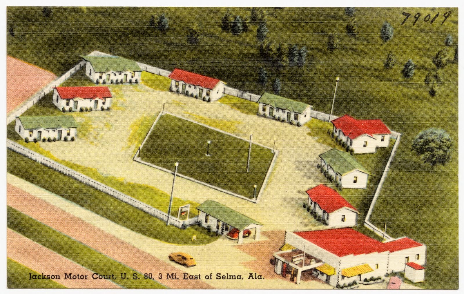
Selected from the Digital Public Library of America's 17 image records catalogued for this county. Every one shown here carries a public-domain status or a licence that permits reuse on a site that carries advertising; non-commercial, share-alike and restricted images are excluded. The selection is spread across the county's towns (at most eight per town), so no single institution's bulk upload crowds out the rest. Each opens the holding library's record, and the complete set at the Digital Public Library of America is one click away.
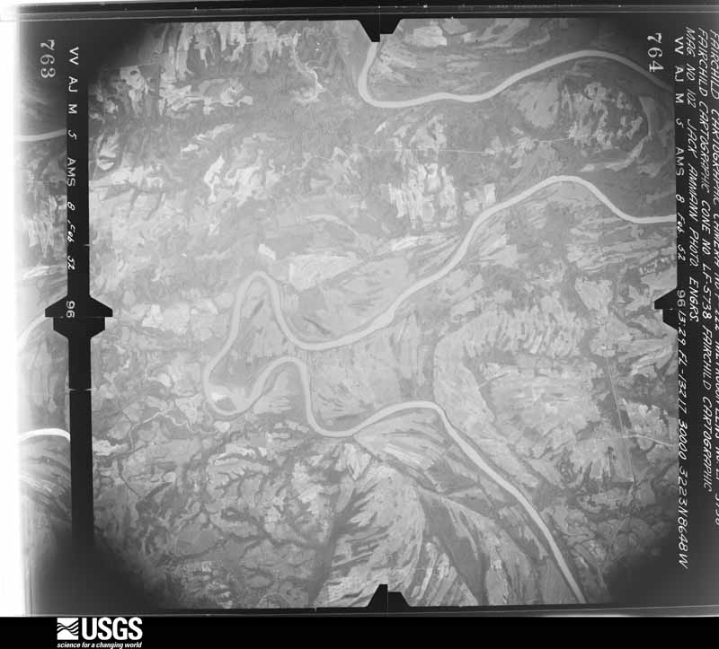
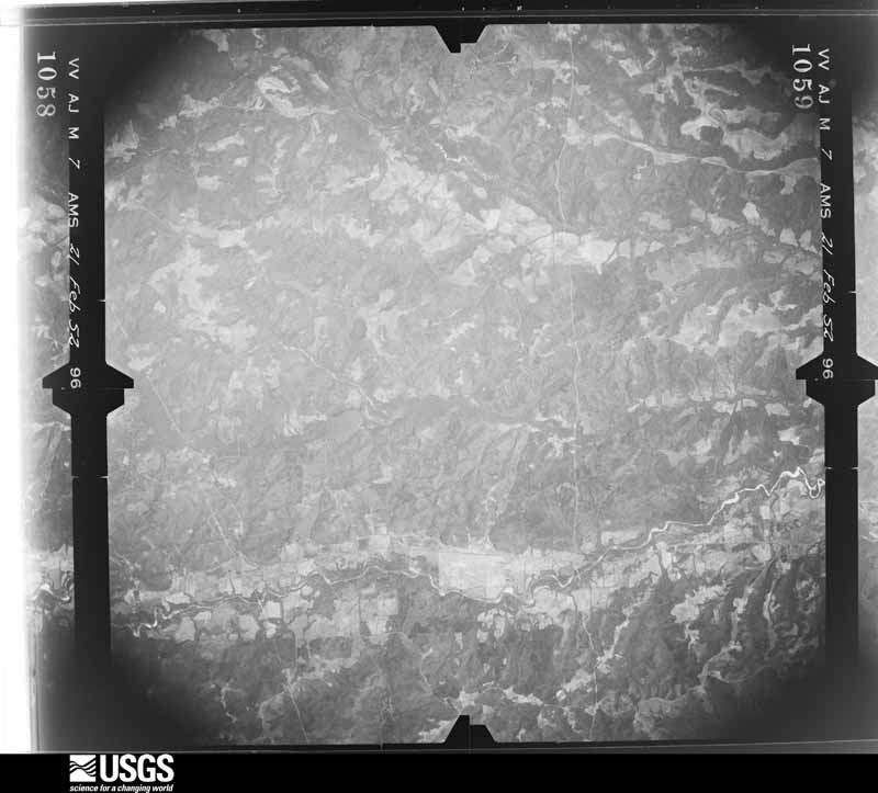
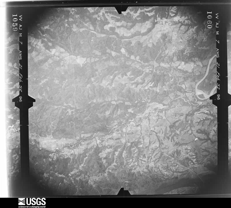
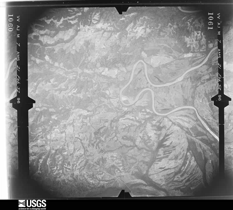
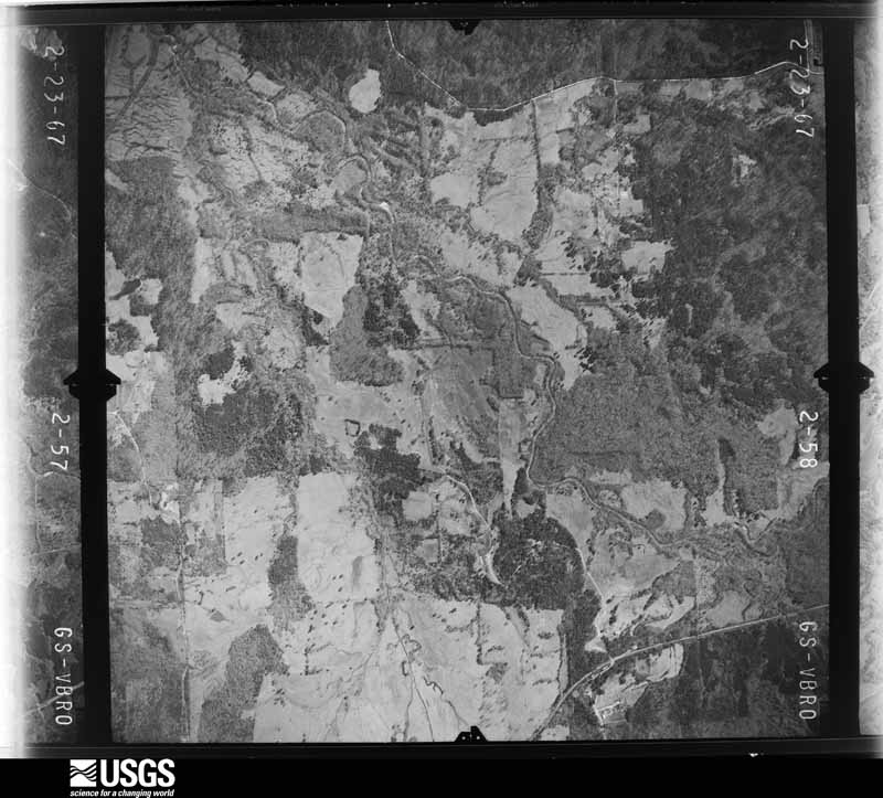
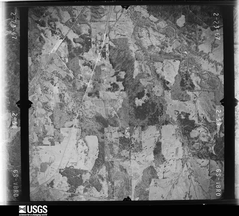
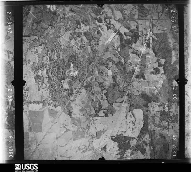
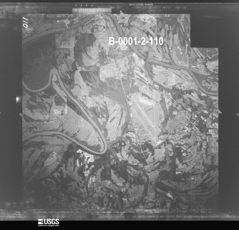
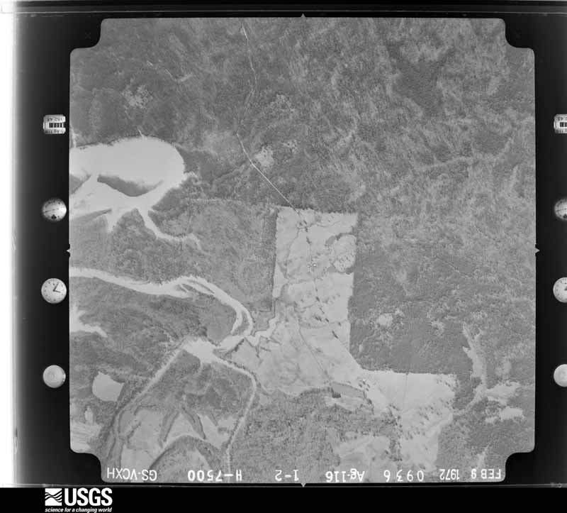
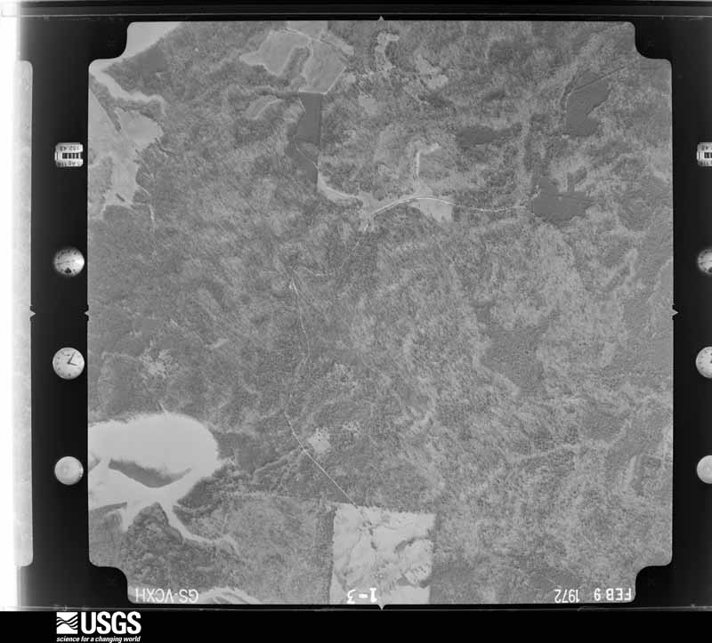
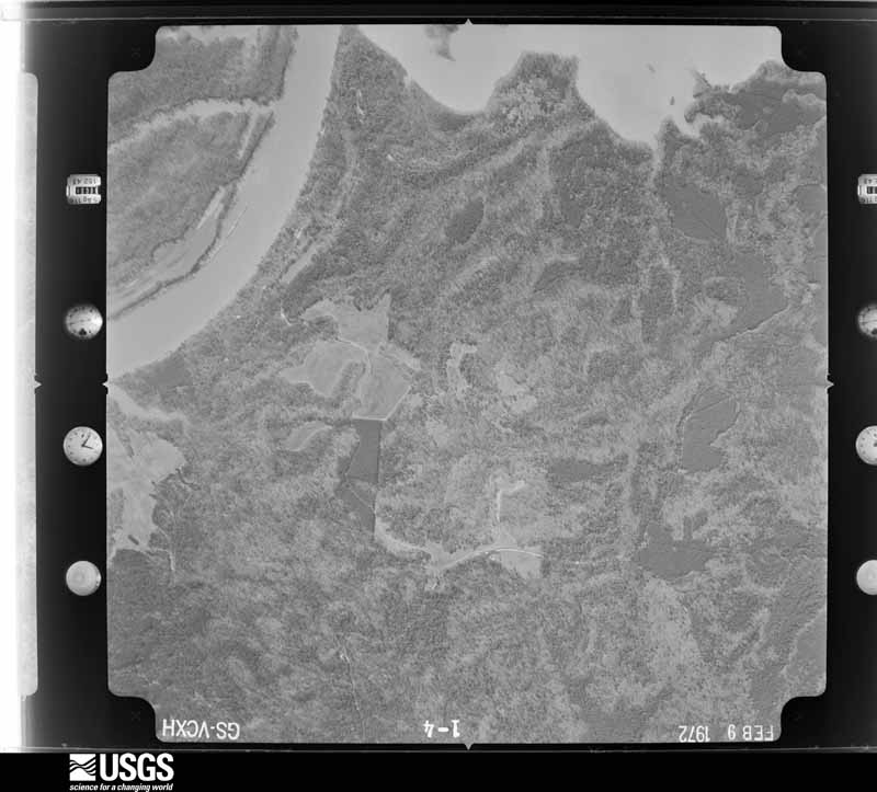
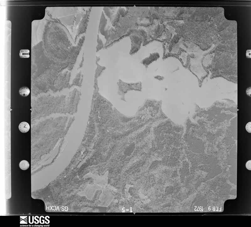
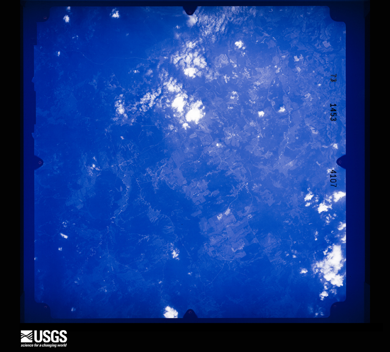
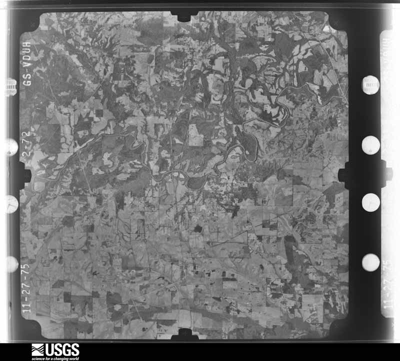
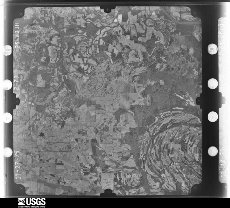
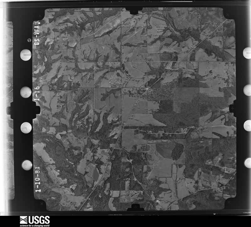
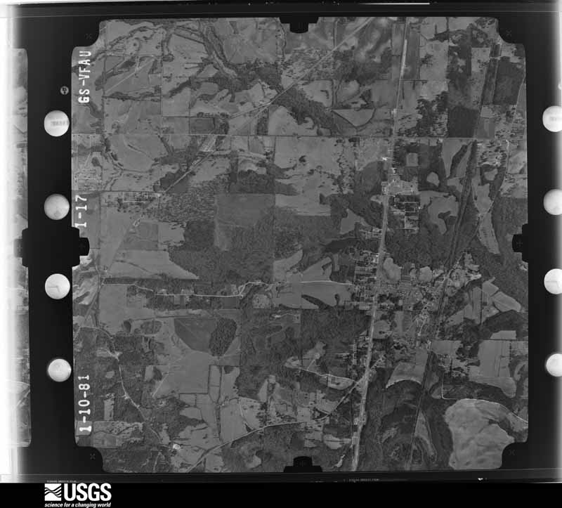
Flown by the U.S. Geological Survey between 1937 and 1989, the Aerial Photo Single Frames collection is the definitive mid-century view of the land: fields, roads and rivers as the camera saw them. The Survey holds 1,578 frames inside the rectangle that bounds this county; the 32 frames below were taken over the county itself, chosen across the decades of flights (at most four a year from that rectangle), so one flight cannot crowd out the rest. The full set is free to browse and download at EarthExplorer under the dataset Aerial Photo Single Frames.
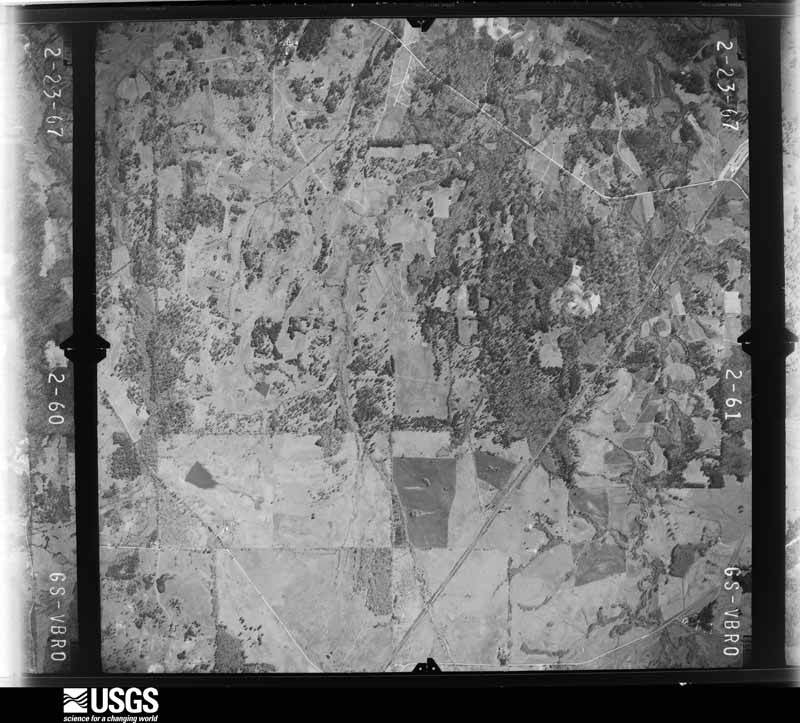
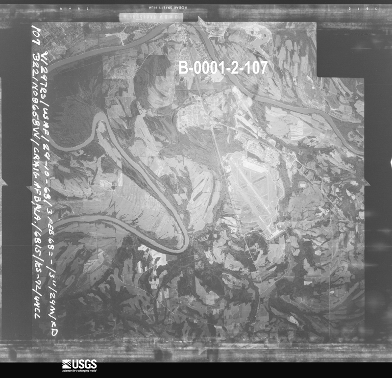
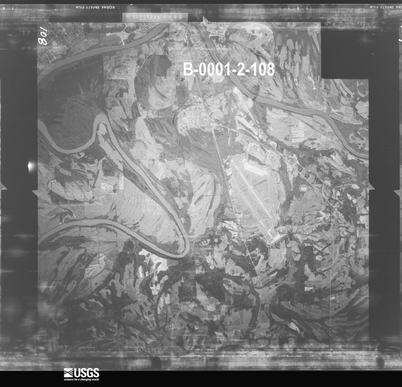
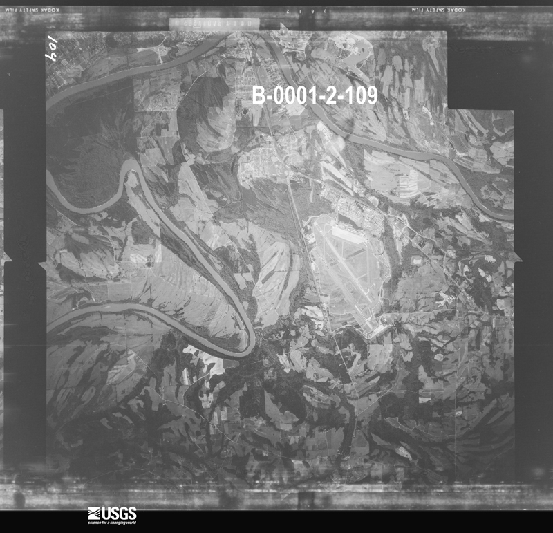



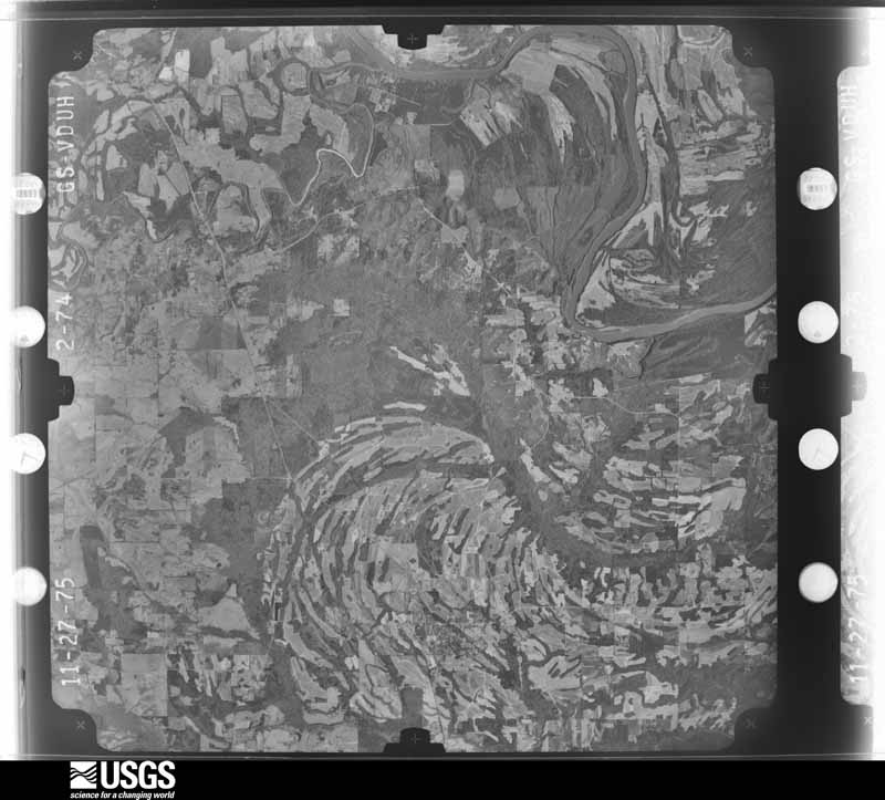
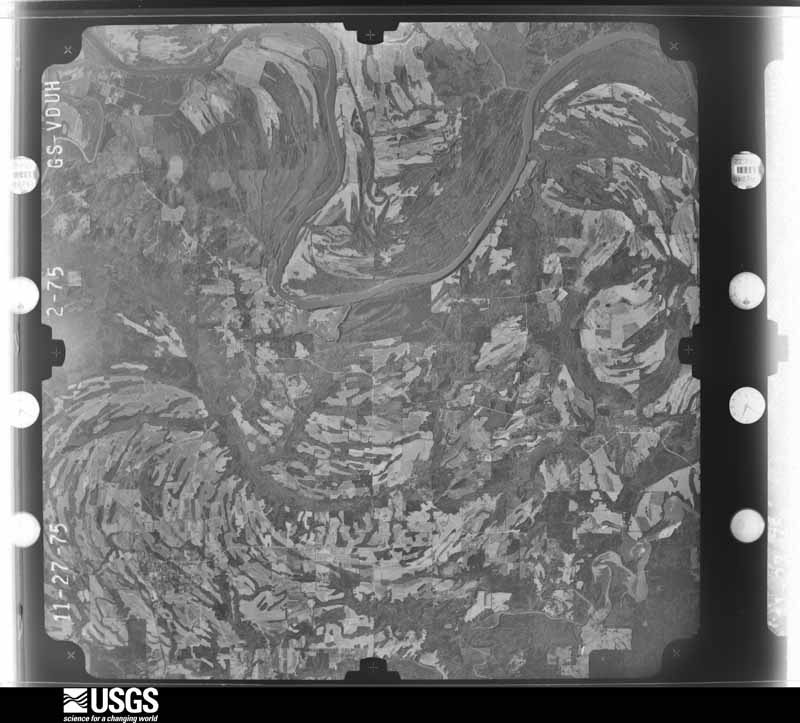
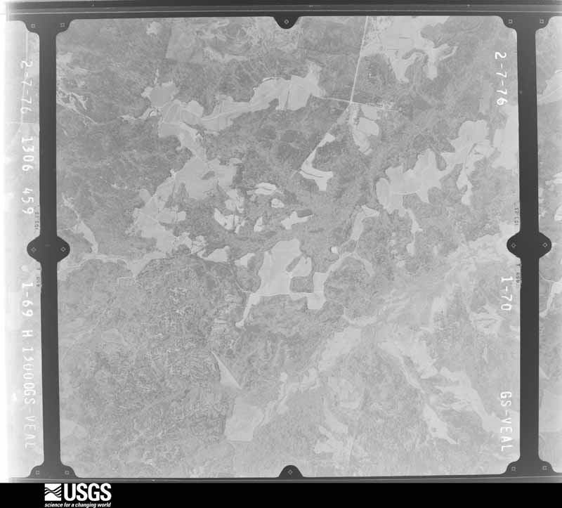
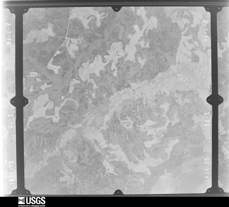
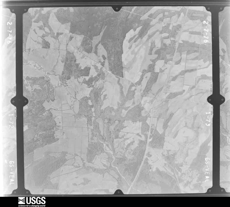
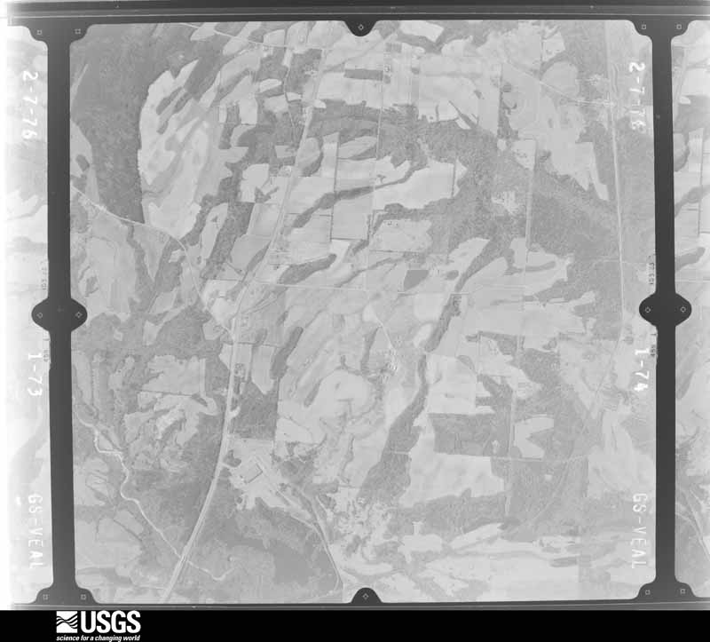
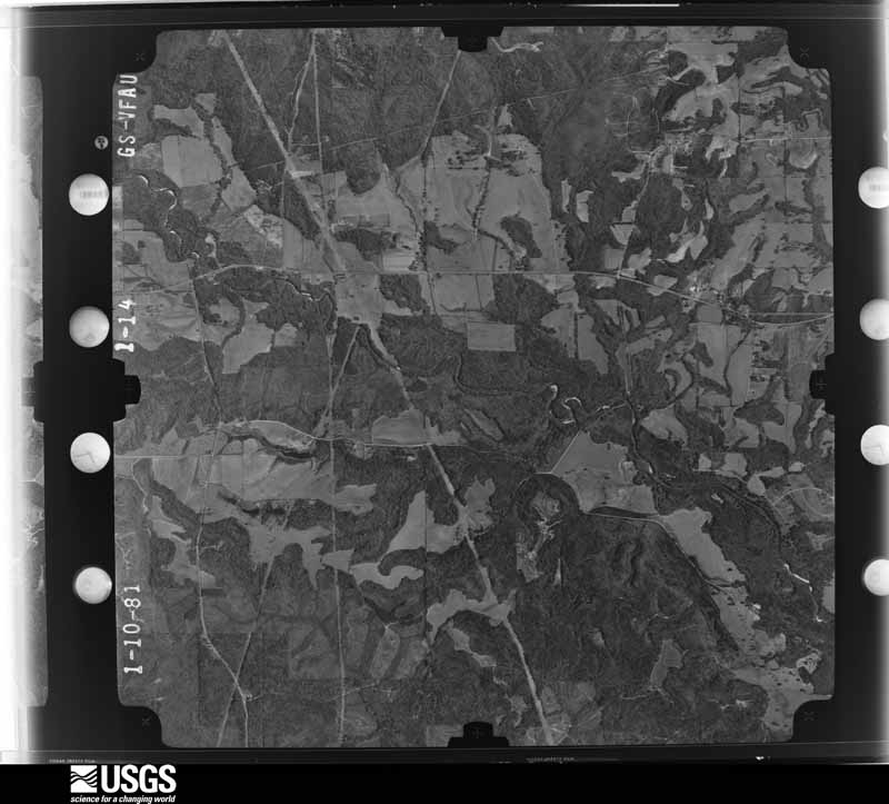
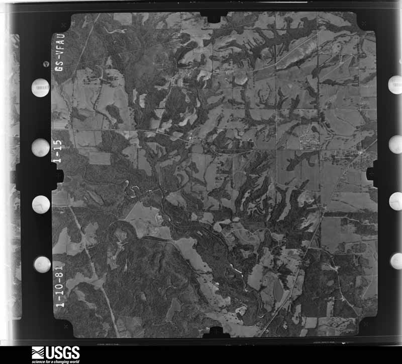
The thermometers that kept this county's weather, and the gages that measured the flow of its streams, as the federal records hold them. The extremes below are measured values from those records, not estimates.
Who lived here in 1950, one enumeration district at a time, as the Census Bureau described each district. Each row opens its official National Archives result, with Population Schedules and ED Maps available there.
Every wildfire the federal occurrence database records inside this county: 867 of them, burning about 7,513 acres. 13 started naturally and 71 were recorded as arson. Each settlement page carries the fires within five miles of it.
| Reported cause | Fires |
|---|---|
| Debris and open burning | 377 |
| Missing data/not specified/undetermined | 163 |
| Equipment and vehicle use | 93 |
| Arson/incendiarism | 71 |
| Recreation and ceremony | 59 |
| Smoking | 33 |
| Misuse of fire by a minor | 27 |
| Railroad operations and maintenance | 22 |
| Natural | 13 |
| Power generation/transmission/distribution | 8 |
| Other causes | 1 |
The five largest, by the area the report gives. None of them was recorded as arson.
| Date | Cause | Size | Reported by | Name on the report |
|---|---|---|---|---|
| 17 July 2006 | Natural | 234 acres | Alabama Forestry Commission | BURNSVILLE |
| 17 July 2000 | Debris and open burning | 137 acres | Alabama Forestry Commission | not named |
| 22 June 2007 | Natural | 135 acres | Alabama Forestry Commission | SELF FIRE |
| 12 February 2008 | Debris and open burning | 129 acres | Alabama Forestry Commission | MORGAN HILL |
| 3 August 2014 | Missing data/not specified/undetermined | 129 acres | Alabama Forestry Commission | NWR-20140803-001 |
| 25 March 2014 | Missing data/not specified/undetermined | 116 acres | Alabama Forestry Commission | NWR-20140325-008 |
| 13 March 2007 | Debris and open burning | 101 acres | Alabama Forestry Commission | GREENE |
| 20 February 2004 | Debris and open burning | 91 acres | Alabama Forestry Commission | not named |
Every settlement page carries the fires within five miles of it - see the settlement index below.
The NOAA Storm Events Database holds 373 reports for this county, causing 7 deaths, 87 injuries and about $19,001,000 in recorded property damage. Each settlement page carries the reports that name it.
| Kind of event | Reports |
|---|---|
| Thunderstorm Wind | 205 |
| Hail | 101 |
| Tornado | 47 |
| Flash Flood | 15 |
| Lightning | 2 |
| Funnel Cloud | 2 |
| Heavy Rain | 1 |
The most serious of them, by death, then injury, then recorded damage. The accounts are quoted exactly as the forecast office filed them.
| When | Event | Place named | Harm | What the report says |
|---|---|---|---|---|
| March 1996 | Tornado (F3) | Marion Jct | 4 killed, 40 hurt, $8,000,000 | no account filed |
| March 2025 | Tornado (EF3) | Plantersville | 2 killed, 2 hurt | The tornado formed and intensified quickly about two miles south|of Plantersville along County Road 63, uprooting swaths of trees|right from the start. The tornado travelled northward into|Plantersville and intensified to its maximum intensity of a|140 MPH EF3 tornado in the south end of town, where trees across|the entire area were uprooted, snapped, and even debarked.|Several homes and businesses were destroyed, which unfortunately|resulted in two fatalities and two injuries. The tornado began a|more northeasterly trajectory as it left Plantersville, but still|remained strong as it crossed into Autauga County. |
| December 1983 | Tornado (F3) | not stated | 1 killed, 19 hurt, $2,500,000 | no account filed |
| March 1991 | Thunderstorm Wind | not stated | 6 hurt | no account filed |
| March 1991 | Thunderstorm Wind | not stated | 6 hurt | no account filed |
| July 1959 | Tornado (F2) | not stated | 3 hurt, $25,000 | no account filed |
| January 2023 | Tornado (EF2) | Orrville | 2 hurt | National Weather Service meteorologists surveyed damage in central Dallas County and determined that it was consistent with an EF2 tornado, with maximum winds near 130 mph. The tornado began just east of Orrville near the intersection of Highway 22 and Cahaba Road. As it tracked northeast, it intensified and the damage path was nearly parallel with Highway 22. The damage consisted of mainly uprooted trees with some trunks that were snapped. There were also several manufactured homes that sustained roof and some foundation damage. As the tornado continued along Highway 22, additional tree damage was observed as it neared the southwestern sections of Selma.|The tornado quickly intensified as it entered the city limits of Selma, nearly parallel to Highway 22 and West Dallas Avenue. The overall length and damage width in the densely populated neighborhoods had devastating impacts to the city. Many hardwood trees were uprooted and softwood trees were snapped, many onto homes. Most of the softwood trees were snapped about halfway up on the trunks. A daycare center on West Dallas Avenue and Cooper Drive sustained heavy roof and exterior wall damage which was consistent with the higher-end EF2 wind speeds. Some debris rowing was also noted in the downstream vicinity. Over seventy children and workers survived without injury by taking shelter in small interior rooms and bathrooms after receiving the warning, while portions of the roof collapsed over large open classrooms and the former sanctuary. The second area of higher-end EF2 damage was noted downstream at the Selma Country Club where several buildings had significant roof and exterior wall damage and there was a complete blow down of extremely large hardwood trees. Additional softwood trees were also snapped in and around adjacent streets. As the tornado continued northeast, it entered the northern sections of downtown Selma. Much of the damage continued to consist of downed trees, some on homes, but several homes near the center of the track had entire roofs removed. Another notable area of damage was where Broad Street crossed the railroad tracks. A strip mall had much of its roof removed, and some of the X-braces in a metal building system failed, which from a structural engineering perspective was one of the more impressive damage indicators. Several older homes collapsed near the intersection of Minter Street and Saint Phillip Street, but they were built on brick pilings with open air underneath them, which kept them in the EF2 range. As the tornado exited downtown, it crossed Highway 14, where structure damage was noted with exterior walls that collapsed.|The tornado caused some significant damage at the Dallas County Jail on Selfield Road, with significant loss of roof material. The tornado weakened as it approached the Brantley community, where a few trees were uprooted. The tornado lifted just east of River Road. |
| March 2021 | Tornado (EF2) | Selma Selfield Arpt | 2 hurt | National Weather Service meteorologists surveyed damage in northeastern Dallas County and determined that it was consistent with an EF2 tornado, with maximum winds near 115 mph. The tornado first touched down near Water Avenue just south of State Road 14, initially producing minor tree damage. The tornado quickly intensified snapping and uprooting large stands of hardwood trees as it moved into the Burnsville community. Near State Road 14 and County Road 871, a well built home sustained structural damage including the loss of a carport, roof damage, broken windows, and partial loss of one wall structure. An unanchored manufactured home next door was completely destroyed with the remaining contents blown across the road and scattered over 100 yards. A vehicle at this residence was rolled and sustained damage. The tornado continued to move rather slowly off to the northeast causing additional trees to fall. Several additional homes along the path sustained structural damage of mainly roof uplift and loss of shingles. Another manufactured home with some anchoring was rolled and blown apart on the north side of State Road 14. There were two occupants inside the home who were sheltering. They survived and crawled out with minor injuries. Farther northeast along State Road 14, a two story home sustained structural damage along with additional damage from falling trees. They were very large hardwood trees snapped near the base. A motorist trying to evade the tornado attempted to take shelter here and narrowly missed a large falling tree. At this point the tornado was likely at its widest reaching nearly 1000 yards. The tornado crossed State Road 14 moving into a mostly forested area producing significant tree damage before crossing County Road 261. Here a wide swath of trees and power lines were downed. The tornado finally weakened and lifted before reaching County Road 880. |
| December 1987 | Thunderstorm Wind | not stated | 2 hurt | no account filed |
| March 1976 | Tornado (F1) | not stated | 1 hurt, $250,000 | no account filed |
| November 2004 | Tornado (F1) | Marion Jct | 1 hurt, $100,000 | no account filed |
| April 1955 | Tornado (F2) | not stated | 1 hurt, $25,000 | no account filed |
| April 1997 | Thunderstorm Wind | Selma | 1 hurt, $10,000 | Thunderstorm wind blew off part of a garage roof and knocked several trees down and onto roofs. One man sustained a broken hip and leg in the storm when a tree fell onto the garage that he was standing in. |
| June 1989 | Thunderstorm Wind | not stated | 1 hurt | no account filed |
| May 1984 | Tornado (F2) | not stated | $2,500,000 | no account filed |
| May 1978 | Tornado (F2) | not stated | $2,500,000 | no account filed |
| February 2008 | Tornado (EF2) | Potter | $350,000 | The tornado touched down near Warrior Drive, just southeast of the Perry County line. It then tracked northeastward across AL-219 near the intersection of CR-230, moved right through the Summerfield Community, and crossed CR-37, before lifting just east of the intersection of CR-37 and CR-844. At least 5 structures, including 2 mobile homes and a metal warehouse, were destroyed. Twelve to fifteen additional structures, including several homes and an auto body shop, were damaged to varying degrees. Hundreds of trees were either snapped off or uprooted along the damage path. |
| March 2007 | Tornado (EF1) | Crumptonia | $250,000 | A tornado that had previously caused EF-4 damage in Wilcox County crossed the Wilcox-Dallas county line about 6.4 miles southeast of the town of Alberta. The tornado then tracked northeastward and ended along the Alabama River, east of the Whites Bluff community. The most concentrated damage in Dallas County occurred just south of Five Points along County Road 31 and along County Road 33. Twenty seven homes suffered varying degrees of damage, and two homes were completely destroyed. At least six outbuildings were damaged. Numerous trees and power lines were either snapped off or uprooted along the path. |
| September 1980 | Tornado (F2) | not stated | $250,000 | no account filed |
| April 1970 | Tornado (F2) | not stated | $250,000 | no account filed |
| February 2009 | Thunderstorm Wind | Selma Selfield Arpt | $140,000 | A church was destroyed when winds estimated around 70 mph lifted off its roof and shifted it about 10 feet. Several trees in the same area were snapped and uprooted. |
| March 1996 | Tornado (F1) | Orrville | $120,000 | no account filed |
| April 2003 | Hail | Summerfield | $85,000 | Supercell 3 produced a swath of large hail across extreme northern Dallas County. Hail sizes varied widely and ranged from penny to tennis ball size. The largest hail reports came from areas just north and northwest of Selma. |
| March 1996 | Lightning | Marion Junction | $85,000 | no account filed |
| March 2011 | Flash Flood | Martin | $75,000 | The intersection of CR 115 and CR 21 was closed due to flooding. |
| April 2011 | Tornado (EF1) | Beloit | $70,000 | A tornado touched down east of County Road 189 and north of County Road 205 in Dallas County. As the tornado moved east, numerous trees were snapped or uprooted. The tornado lifted approximately 1.6 miles northeast of where it initially touched down. Maximum winds were estimated to be 105 mph. |
| September 1998 | Flash Flood | Countywide | $65,000 | no account filed |
| March 1999 | Thunderstorm Wind | Orrville | $60,000 | Several trees were reported down between Orrville and Selma. One home in Selma was badly damaged when a tree fell on it. Damage was most concentrated in Orrville where numerous mobile homes were severely damaged or destroyed. The mobile homes were located on CR 95, CR 14, and CR 56. Numerous trees were also knocked down around Orrville. |
| April 2005 | Thunderstorm Wind | Minter | $55,000 | Significant wind damage occurred generally from Minter to Selma and areas eastward to the Lowndes County line. Numerous trees and power lines were knocked down across the eastern third of the county.One mobile home was totally destroyed and at least 8 additional homes suffered varying degrees ofdamage. Several vehicles sustained damage from fallen trees. The Sardis Volunteer Fire Department wasdamaged. |
| March 1994 | Thunderstorm Wind | Selma | $50,000 | Wind with a thunderstorm took 150 square feet of roof from a building at the Selma Flea Market. |
| June 1994 | Thunderstorm Wind | Salem | $50,000 | Thunderstorm wind uprooted trees and caused minor damage to several buildings in Salem. Some cornice material and facia boards were blown off stores in the Salem Shopping Center. |
| April 2011 | Tornado (EF1) | Tyler | $45,000 | A tornado touched down near the intersection of Dallas County Roads 461 and 460. The tornado moved to the northeast and crossed the Alabama River where it moved into Autauga County. The tornado lifted just after crossing County Road 1 in Autauga county. In Dallas County, dozens of trees were snapped or uprooted along the path. |
| May 2003 | Hail | Orrville | $45,000 | Hail up to golf ball size fell from near Orrville to near Minter. Several trees were also blown down along the path of this storm. |
| April 2003 | Hail | Selma | $35,000 | Hail up to the size of tennis balls was reported as the storm crossed far northern Dallas County. |
| December 2011 | Tornado (EF0) | Selma Selfield Arpt | $30,000 | National Weather Service meteorologists surveyed damage in Dallas County and assessed damage that was consistent with a tornado. The tornado touched down approximately 6 miles east of Selma along County Road 306 where minor tree damage occurred, along with roof damage to two mobile homes. The tornado then traveled further to the northeast, to Garner and Harville Roads where several soft and hardwood trees were damage or snapped. There was also some structure damage, with one outbuilding destroyed and one mobile home that was shifted off its foundation blocks. The tornado lifted shortly after, near River Road, with evidence of some additional tree damage. |
| February 2009 | Thunderstorm Wind | Manila | $30,000 | Winds estimated around 60 mph blew the roof off of both halves of a double wide mobile home, causing it to land 15 feet downwind. One tree was also snapped off in the same area. |
| November 2005 | Tornado (F0) | Selma | $28,000 | National Weather Service meteorologists surveyed the damage that affected areas north of Summerfield and near Paul M Grist State Park. It has been determined that the damage was the result of a tornado. The tornado has been rated an F0 on the Fujita Damage Intensity Scale. The tornado first touched down approximately 1.2 miles northwest of Summerfield near the intersection of County Road 16 and County Road 279. The tornado tracked in a northeastward direction and crossed County Road 39 twice, County Road 37, and County Road 222. The tornado lifted just northeast of the intersection of County Road 37 and County Road 222. This location is just south of Paul M. Grist State Park. The tornado damage path was approximately 5.8 miles long and 50 yards wide at its widest point. The tornado was on the ground from approximately 453 PM CST to 502 PM CST. Along the damage path, numerous large trees were snapped off and uprooted. A few homes and mobile homes sustained shingle damage. One large tree fell on a home and caused damage. One mobile home was pushed off its foundation. Several sheds or out-buildings sustained moderate damage.Begin: 32.5258/87.0651 End: 32.5790/86.9875 |
| April 2011 | Tornado (EF1) | Marion Jct | $25,000 | A tornado briefly touched down just north of County Road 58 in Dallas County. The tornado moved approximately 0.2 miles northeast and caused considerable damage to a metal warehouse. The tornado lifted along County Road 944. Maximum winds were estimated at 90 mph. |
| April 2003 | Flash Flood | Countywide | $25,000 | Several roads across the county were flooded. US 80 was temporarily closed due to high water over the road. |
| June 2003 | Thunderstorm Wind | Selma | $25,000 | A large tree fell onto a home in Selma. The fallen tree caused moderate damage to the home and an automobile. |
| March 2001 | Flash Flood | Selma | $25,000 | Major street flooding occurred in Selma. Several automobiles were flooded and damaged. |
| April 2000 | Hail | Sardis | $25,000 | Golfball to softball size hail fell from near Sardis to near Polk. The large hail knocked out several car windows and also several windows in homes. One home had severe siding damage from the hail. |
| January 1998 | Flash Flood | Countywide | $25,000 | no account filed |
| March 1981 | Tornado (F1) | not stated | $25,000 | no account filed |
| April 1979 | Tornado (F0) | not stated | $25,000 | no account filed |
| April 1972 | Tornado (F2) | not stated | $25,000 | no account filed |
| September 1957 | Tornado (F0) | not stated | $25,000 | no account filed |
| November 1957 | Tornado (F1) | not stated | $25,000 | no account filed |
| January 1953 | Tornado (F1) | not stated | $25,000 | no account filed |
| March 1995 | Thunderstorm Wind | Selma | $24,000 | Trees were reported down just west of Selma on Alabama Highway 219 and one house damaged when a tree was toppled by thunderstorm winds. Numerous power lines were also downed along Alabama Highway 219. |
| July 2009 | Thunderstorm Wind | Selma | $23,000 | At least 10 trees were blown down around the city of Selma, including a few that fell onto homes and caused significant damage. At least one of the homes' occupants was briefly trapped, but was otherwise uninjured. |
| November 2004 | Tornado (F0) | Selma | $22,000 | no account filed |
| April 2011 | Tornado (EF1) | Summerfield | $20,500 | A tornado briefly touched down along County Road 272 where it uprooted several hardwood and softwood trees. One mobile home sustained significant damage. Maximum winds were estimated to be 90 mph. The tornado lifted 0.1 miles northeast of County Road 272. |
| July 2006 | Thunderstorm Wind | Orrville | $20,000 | A tree fell into the living room of a home along Cahaba Road, causing substantial damage. Numerous other trees were blown down around the home. |
| July 1998 | Thunderstorm Wind | Selma | $20,000 | A downburst hit Craig Field and knocked down numerous trees, a few doors were blown out, there was roof damage to a few buildings and tractor trailer was over turned. |
| November 2004 | Tornado (F0) | Safford | $18,000 | no account filed |
| April 2004 | Hail | Orrville | $16,000 | no account filed |
| July 2006 | Thunderstorm Wind | Minter | $15,000 | Winds caused significant damage to a bait shop in Shepardsville, along Highway 41. Two outbuildings were also heavily damaged, and multiple trees and power lines were blown down. |
| April 2000 | Hail | Orrville | $15,000 | Dime to ping pong ball size hail was reported in and around the city of Orrville. |
| April 2000 | Thunderstorm Wind | Pinebelt | $15,000 | An isolated supercell thunderstorm moved eastward across southern Dallas County producing a macroburst event. Damage extended in a 7 mile long path from northwest of Pinebelt to about 5 miles east of Pinebelt. The area of damage was about 3 miles wide. Damage occurred primarily to trees, though a few homes sustained minor roof damage in the area. |
The Survey's mineral resources record lists 14 workings inside this county. 11 still produce and 3 are closed or unrecorded. Each settlement page carries the workings within five miles of it.
| Commodity | Workings |
|---|---|
| Sand and Gravel, Construction | 12 |
| Clay | 1 |
| Iron | 1 |
The least common of them first, because a county's hundredth gravel pit says nothing its first ten did not.
| Where | Site | Commodity | Status | Recorded |
|---|---|---|---|---|
| Fort Payne Mine | Iron | Past Producer | ||
| Henry Pit | Clay | Producer | ||
| Alabama River Pit | Sand and Gravel, Construction | Producer | ||
| Cosby No. 1 | Sand and Gravel, Construction | Producer | ||
| Cosby Number 2 Quarry | Sand and Gravel, Construction | Producer | Unconsolidated Sediments | |
| Dallas County Pit | Sand and Gravel, Construction | Producer | ||
| Dallas Pits | Sand and Gravel, Construction | Producer | Unconsolidated Sediments | |
| Dallas Sand and Gravel Co. Pit | Sand and Gravel, Construction | Past Producer | ||
| Plantersville Pit | Sand and Gravel, Construction | Producer | ||
| S & G Strip Pit | Sand and Gravel, Construction | Past Producer | ||
| Selma Plant #2 | Sand and Gravel, Construction | Producer | ||
| Selma Quarry | Sand and Gravel, Construction | Producer | Unconsolidated Sediments | |
| Tyler Pit | Sand and Gravel, Construction | Producer | ||
| Tyler Plant | Sand and Gravel, Construction | Producer | Unconsolidated Sediments |
Named settlements recorded in the Geographic Names Information System, each with the topographic sheets covering it. Villages, hamlets and abandoned places alike. Each is shown with the nearest named watercourse or landform and the survey quadrangle it falls on. The 1 place that was also surveyed for fire insurance comes first, with the number of atlases and photographs held for them.
Selma census division · 36701 · On Beech Creek · Selma quadrangle
15 sheets, 1953 to 1986
Fire insurance: 9 atlases
Orrville census division · 36767 · On Childers Creek · Orrville quadrangle
13 sheets, 1953 to 1987
Sardis census division · 36775 · On Berlin Branch · Blackwell Bend quadrangle
13 sheets, 1953 to 1987
Orrville census division · 36759 · On Mud Creek · Safford quadrangle
10 sheets, 1953 to 1986
Orrville census division · 36767 · On Cahaba River · Blackwell Bend quadrangle
13 sheets, 1953 to 1987
Carlowville census division · 36761 · Near Wildcat Hill · Carlowville quadrangle
11 sheets, 1953 to 1987
Safford census division · 36773 · On Lize Creek · Crumptonia quadrangle
9 sheets, 1953 to 1986
Carlowville census division · 36761 · On Dry Cedar Creek · Minter quadrangle
11 sheets, 1953 to 1987
Safford census division · 36759 · On Chaney Creek · Safford quadrangle
10 sheets, 1953 to 1986
Carlowville census division · 36761 · On Chilatchee Creek · Tasso quadrangle
12 sheets, 1953 to 1987
Selma census division · 36703 · Burnsville quadrangle
12 sheets, 1953 to 1986
No longer a settlement
Orrville census division · 36759 · On Gilmer Branch · Marion Junction quadrangle
13 sheets, 1953 to 1987
Safford census division · 36773 · On Tatum Creek · Safford quadrangle
10 sheets, 1953 to 1986
Carlowville census division · 36761 · On Swift Creek · Minter quadrangle
11 sheets, 1953 to 1987
Orrville census division · 36759 · On Possum Creek · Marion Junction quadrangle
13 sheets, 1953 to 1987
Carlowville census division · 36775 · On Honor Branch · Pleasant Hill quadrangle
11 sheets, 1953 to 1987
Carlowville census division · 36761 · On Oak Creek · Tasso quadrangle
12 sheets, 1953 to 1987
Safford census division · 36773 · On English Creek · Safford quadrangle
10 sheets, 1953 to 1986
Orrville census division · 36767 · On Hurricane Creek · Safford quadrangle
10 sheets, 1953 to 1986
Selmont-Tyler census division · 36703 · On Beech Creek · Selma quadrangle
15 sheets, 1953 to 1986
Selma census division · 36701 · On Bogg Branch · Summerfield quadrangle
13 sheets, 1953 to 2002
Selma census division · 36701 · On Jones Creek · Selma quadrangle
15 sheets, 1953 to 1986
Carlowville census division · 36761 · On Dry Cedar Creek · Pleasant Hill quadrangle
11 sheets, 1953 to 1987
Safford census division · 36759 · On Duncan Branch · Uniontown East quadrangle
9 sheets, 1953 to 1986
Selmont-Tyler census division · 36701 · On Beech Creek · Selma quadrangle
15 sheets, 1953 to 1986
Orrville census division · 36767 · By Whites Bluff · Orrville quadrangle
13 sheets, 1953 to 1987
The vanished settlements of Dallas County: the places named above that are no longer on the map.
15 topographic sheets and 9 fire insurance atlases, 1884 to 1949
The complete index, with nothing left out. Each of these is a separate record with its own page: a federal survey report, or the case file that argued a property on to the National Register. Both are public domain and reproduced word for word.
The vanished settlements of Dallas County, the places these records name that are no longer on the map.