 Block
Valdosta, Alabama
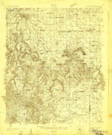
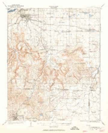
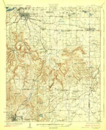
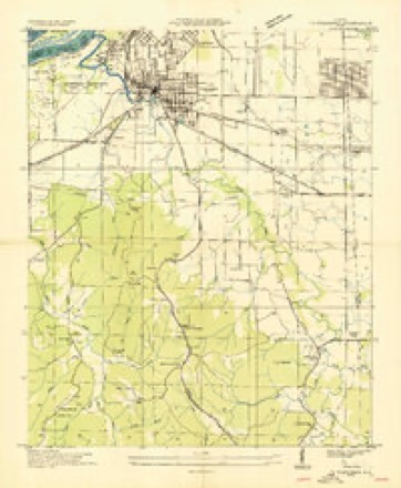
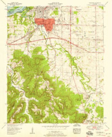
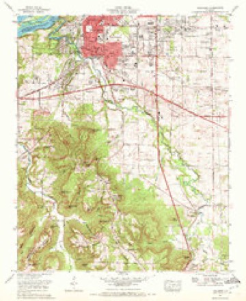
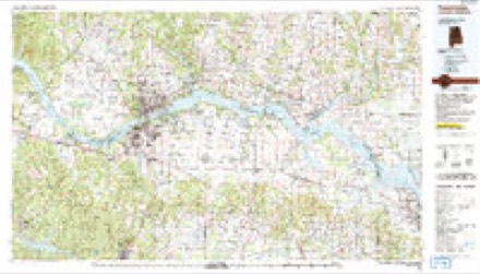
18 topographic sheets cover this place, the earliest surveyed in 1924 and the latest in 1986. It stands in the Tri-Cities census division. It lies in ZIP code area 35674. It stands on Throckmorton Branch. The Survey maps it on the Tuscumbia quadrangle.
Topographic sheets covering this place
11 surveys from 18 printed sheetsMatched by testing this settlement's coordinate against the published boundary of every sheet in the United States Geological Survey's historical collection. Each opens the scanned sheet at the Survey.
- 1924 USGS Tuscumbia quadrangle1:48000
- 1924 USGS Tuscumbia quadrangle1:62500
- 1926 USGS Tuscumbia quadrangle1:62500, 3 printings
- 1936 USGS Tuscumbia quadrangle1:24000
- 1952 USGS Tuscumbia quadrangle1:24000
- 1956 USGS Gadsden quadrangle1:250000, 3 printings
- 1958 USGS Gadsden quadrangle1:250000
- 1960 USGS Gadsden quadrangle1:250000, 2 printings
- 1963 USGS Gadsden quadrangle1:250000
- 1971 USGS Tuscumbia quadrangle1:24000
- 1986 USGS Tuscumbia quadrangle1:100000, 3 printings




Fires near this place
102 since 1994Regional context, not property-specific evidence. The federal wildfire occurrence database lists 102 fires within 5 miles of Valdosta between 1994 and 2019, burning about 589 acres in total. None started naturally. 22 were recorded as arson. Distance is straight-line from the map coordinates, so a fire counted here may appear on a neighbouring settlement's page as well.
| Reported cause | Fires |
|---|---|
| Debris and open burning | 42 |
| Arson/incendiarism | 22 |
| Missing data/not specified/undetermined | 18 |
| Equipment and vehicle use | 12 |
| Recreation and ceremony | 4 |
| Misuse of fire by a minor | 2 |
| Railroad operations and maintenance | 2 |
The most recent of them, most recent first, with the day each was reported and the service that recorded it.
| Date | Cause | Size | Reported by | Name on the report |
|---|---|---|---|---|
| 9 September 1998 | Arson/incendiarism | 4.0 acres | Alabama Forestry Commission | not named |
| 8 September 1999 | Arson/incendiarism | 2.0 acres | Alabama Forestry Commission | not named |
| 6 September 1995 | Recreation and ceremony | under an acre | Alabama Forestry Commission | not named |
| 28 September 2000 | Debris and open burning | under an acre | Alabama Forestry Commission | not named |
| 19 September 2019 | Equipment and vehicle use | under an acre | Alabama Forestry Commission | 20190919-8 |
| 18 September 2010 | Debris and open burning | 5.0 acres | Alabama Forestry Commission | not named |
| 18 September 2010 | Equipment and vehicle use | 24 acres | Alabama Forestry Commission | not named |
| 14 September 1999 | Equipment and vehicle use | under an acre | Alabama Forestry Commission | not named |
Settlements close enough to share some of these fires:
Mines and quarries near this place
3 within 5 milesRegional context, not property-specific evidence. The federal mineral resources record lists 3 workings within 5 miles of Valdosta: 2 producers, 1 plant. All of them still produce. What was taken out: Stone, Crushed/Broken, Limestone, General, Rock Asphalt, Sand and Gravel, Construction, Silica, Aluminum. Distance is straight-line from the map coordinates, so a quarry counted here may appear on a neighbouring settlement's page as well.
| Where | Site | Commodity | Status | Recorded |
|---|---|---|---|---|
| Alabama Asphaltic Limestone Company Quarry | Stone, Crushed/Broken, Limestone, General, Rock Asphalt | Producer | 1923 | |
| Colbert County Hwy. Dept. Pit | Sand and Gravel, Construction | Producer | ||
| Lister Hill Reduction Plant | Silica, Aluminum | Plant |
Storms near this place
34 since 2008Regional context, not property-specific evidence. The National Weather Service names Valdosta in 34 storm reports between 2008 and 2025: 25 thunderstorm wind, 6 flash flood, 1 flood, 1 lightning. The reports record 1 death and 2 injuries. Each account below is quoted exactly as the forecast office filed it, from the NOAA Storm Events Database, and each date opens the federal record of that event.
| When | Event | Place named | Harm | What the report says |
|---|---|---|---|---|
| October 2010 | Lightning | Valdosta | 1 killed, 2 hurt | Two men were working outside of the Colbert Steam Plant, when they were struck. One man was revived and transported to the hospital in critical condition before passing away. The other man was admitted and released from the hospital. |
| April 2025 | Thunderstorm Wind | Valdosta | $100,000 | A tree was knocked down onto a home at 116 Hiawassee in Sheffield. |
| June 2010 | Thunderstorm Wind | Valdosta | $30,000 | Trees and power lines were reported from Tuscumbia to Muscle Shoals. Several trees fell on houses, causing some structural damage. Some locations where trees were reported down included Old Lee Highway, Hill Ave, Grove Ave, W Brighton, Clark Street, State Street, Courtland Ave, and Portage Ave. |
| May 2008 | Thunderstorm Wind | Valdosta | $10,000 | Thunderstorm winds knocked down trees and power lines throughout Tuscumbia and vicinity including along west 3rd Street, Highland Place, Frankfort, Flatwood, Cove, Keller Quarry and Walker Camp Roads. |
| June 2011 | Thunderstorm Wind | Valdosta | $4,000 | A tree was knocked onto power lines on the 100 block of River Drive. |
| April 2025 | Thunderstorm Wind | Valdosta | $3,000 | A power pole and powerlines were reported down over the street at 210 Terrace Street. |
| April 2025 | Thunderstorm Wind | Valdosta | $3,000 | Trees were reported down in the 600 block of Pickwick Street. |
| April 2025 | Thunderstorm Wind | Valdosta | $2,000 | A power pole was reported down at 102 Highland Place. |
| April 2025 | Thunderstorm Wind | Valdosta | $1,000 | A tree was blown down at 615 Pickwick Street and blocked the road. |
| June 2025 | Thunderstorm Wind | Valdosta | $1,000 | A tree was reported near the intersection Willingham Road and Anna Drive. Time was estimated from radar data. |
| June 2025 | Thunderstorm Wind | Valdosta | $1,000 | A tree was reported down at the intersection of Willington Hill road and Birdie Mae Drive. Time was estmated from radar. |
| July 2022 | Thunderstorm Wind | Valdosta | $1,000 | A tree was blown down near the intersection of Frankfort Road and Underwood Mountain Road. |
| June 2011 | Thunderstorm Wind | Valdosta | $1,000 | Power lines were knocked down on Lamar Street in Tuscumbia. Time estimated by radar and other reports. |
| June 2011 | Thunderstorm Wind | Valdosta | $1,000 | Power lines were knocked down on Old Memphis Road in Tuscumbia. Time estimated by radar. |
| December 2023 | Thunderstorm Wind | Valdosta | $500 | A tree was knocked down and partially blocking the roadway at the intersection of Keller Quarry Road and Bluff Ct. Time estimated by radar. |
| December 2021 | Thunderstorm Wind | Valdosta | $500 | A tree was knocked down. |
| December 2021 | Thunderstorm Wind | Valdosta | $500 | A tree was knocked down. |
| March 2023 | Thunderstorm Wind | Valdosta | $200 | A tree was knocked down at the intersection of Oak Hill Avenue and Edgewood Drive. Time estimated by radar. |
| March 2023 | Thunderstorm Wind | Valdosta | $200 | A tree was knocked down on Spring Court. Time estimated by radar. |
| March 2023 | Thunderstorm Wind | Valdosta | $200 | A tree was knocked down at 1085 Tennessee Avenue. Time estimated by radar. |
| July 2020 | Thunderstorm Wind | Valdosta | $200 | A tree was knocked down at the intersection of Walker Camp and Keller Quarry Roads. Time estimated by radar. |
| August 2020 | Thunderstorm Wind | Valdosta | $200 | A tree was knocked down at Rivermont Drive at Oak Hill Avenue in Sheffield. Time estimated by radar. |
| August 2020 | Thunderstorm Wind | Valdosta | $200 | A tree was knocked down across the railroad tracks at 4305 Old Memphis Pike. Time estimated by radar. |
| June 2020 | Thunderstorm Wind | Valdosta | $200 | A tree was knocked down along Frankfort Road in Tuscumbia. |
| February 2025 | Tornado (EF1) | Valdosta | - | The tornado touched down near the intersection of Lamar Road and Frankfort Road. The tornado caused immediate and widespread damage in neighborhoods southwest of downtown Tuscumbia. This includes roof damage to an elementary school off Glendora Avenue. Damage indicators were mostly a combination of uprooted hard and softwood trees. Numerous homes had roof damage associated with felled trees. As the tornado tracked into downtown, power lines and traffic signals were destroyed. Significant roof damage occurred near 5th and Main Streets where a metal roof was completely removed. As the tornado moved out of the downtown area, numerous trees were again uprooted along 5th and 6th Streets through Commons Street. The tornado snapped trees before crossing George Wallace Boulevard and the Southern Railway. Additional trees were snapped or uprooted as the tornado moved northeast approaching Woodward Avenue. At this location, part of a service station canopy was removed. Fences were knocked down on adjacent streets in this area. More softwood trees were snapped or uprooted as the tornado moved through residential areas approaching Muscle Shoals High School. On school property, several trees were snapped, some near the base, but the building itself didn't sustain any damage. There were other sporadic trees randomly snapped south of this location along portions of Washington Drive and Colorado Avenue, but this wind damage was determined to be strong winds in the rear flank downdraft of the occluding tornadic circulation. The Northwest Alabama Regional Airport measured an 84 MPH wind gust as the tornado occluded just northwest of the airfield. |
| April 2025 | Thunderstorm Wind | Valdosta | - | A tree was reported down blocking the road at 615 Pickwick Street. |
| February 2024 | Thunderstorm Wind | Valdosta | - | A personal weather station (KALTUSCU) measured a 63 mph wind gust in Tuscumbia. |
| March 2020 | Flash Flood | Valdosta | - | Flash flooding reported at the intersection of Spring Court and Meadow Hill Road. Depth of water unknown. |
| November 2019 | Flash Flood | Valdosta | - | Flooding at the intersection of Underwood Mountain Road and Frankfort Road. |
| June 2014 | Flash Flood | Valdosta | - | A vehicle was submerged due to heavy rainfall that produced flash flooding along Rivermont Drive. The reports were received via twitter photos from broadcast media. |
| June 2013 | Flash Flood | Valdosta | - | Heavy rainfall resulted in flash flooding at the intersection of Maple Street and Veterans Boulevard, about a mile south of Tuscumbia, Alabama. Up to two feet of water was reported over the road along Maple Street and Veterans Boulevard. |
| May 2010 | Flood | Valdosta | - | Urban and street flooding reported in Tuscumbia. Ditches along side of roads were seen full of debris flowing into some streets. |
| September 2009 | Flash Flood | Valdosta | - | Heavy rainfall caused flash flooding to occur in the Tuscumbia community. Roads flooded included: the intersection of Maple Street and Veteran's Blvd., intersection of Frankfort road and Henderson Point, and the intersection of Woodmont Drive near highway 72 and Springer Street. |
| June 2008 | Flash Flood | Valdosta | - | Six inches of running water was reported between the 9000 and 11000 block of Frankfort Road. |
Nearest settlements
The eight closest, with where each one stands in the county. Distances are straight-line, computed from the Geographic Names Information System coordinates.
| Map | Place | Distance | Sheets |
|---|---|---|---|
| Richmond Hills | 0.9 miles | 18 | |
| Rivermont | 1.3 miles | 18 | |
| Tuscumbia | 1.5 miles | 18 | |
| Trenholm Heights | 1.6 miles | 18 | |
| Village Number 1 | 1.7 miles | 18 | |
| Belview Heights | 1.7 miles | 18 | |
| Cedar Hills Estates | 1.7 miles | 19 | |
| Oka Kapassa (historical) | 1.8 miles | 18 |
Provenance
This settlement is recorded in the Geographic Names Information System as feature 128381. The sheet list is computed by point-in-boundary test against the United States Geological Survey's historical topographic inventory. Both are works of the United States government and carry no copyright under 17 U.S.C. 105.
Wildfire. Short, Karen C. 2022. Spatial wildfire occurrence data for the United States, 1992-2020 [FPA_FOD_20221014]. 6th Edition. Fort Collins, CO: Forest Service Research Data Archive. https://doi.org/10.2737/RDS-2013-0009.6 Collected with United States Government funding and usable without additional permissions or fees.
Mines and quarries. USGS Mineral Resources Data System (MRDS) https://mrdata.usgs.gov/mrds/ A work of the United States government, no copyright under 17 U.S.C. 105.
Storms. NOAA National Centers for Environmental Information, Storm Events Database https://www.ncei.noaa.gov/stormevents/ A work of the United States government, no copyright under 17 U.S.C. 105. Narratives are quoted verbatim from the National Weather Service report and are not edited or summarised.