Block
From the record
29 National Register listings published here, 2 of them National Historic Landmarks.
Sources: the National Register database, National Park Service
116 topographic sheets and 16 fire insurance atlases across 2 places.
29 National Register listings published here, 2 of them National Historic Landmarks.
Sources: the National Register database, National Park Service
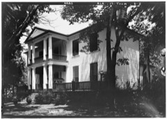
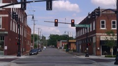
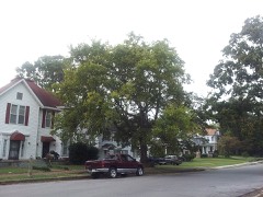
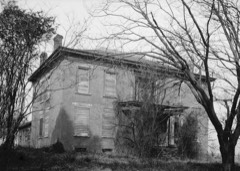
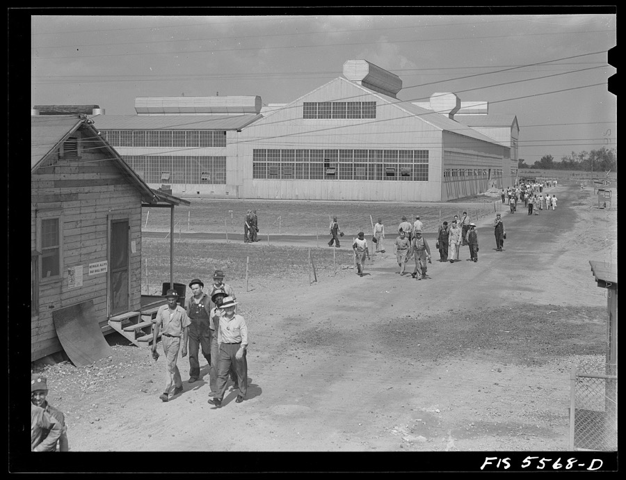
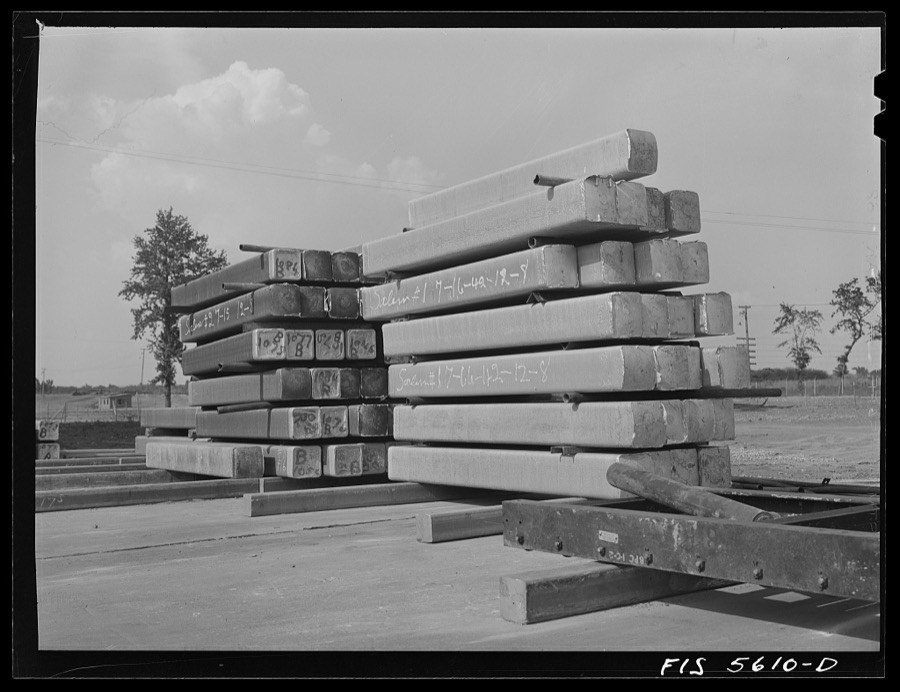
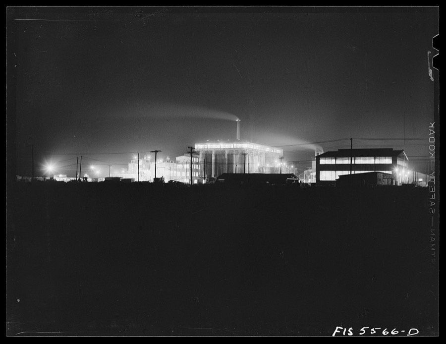
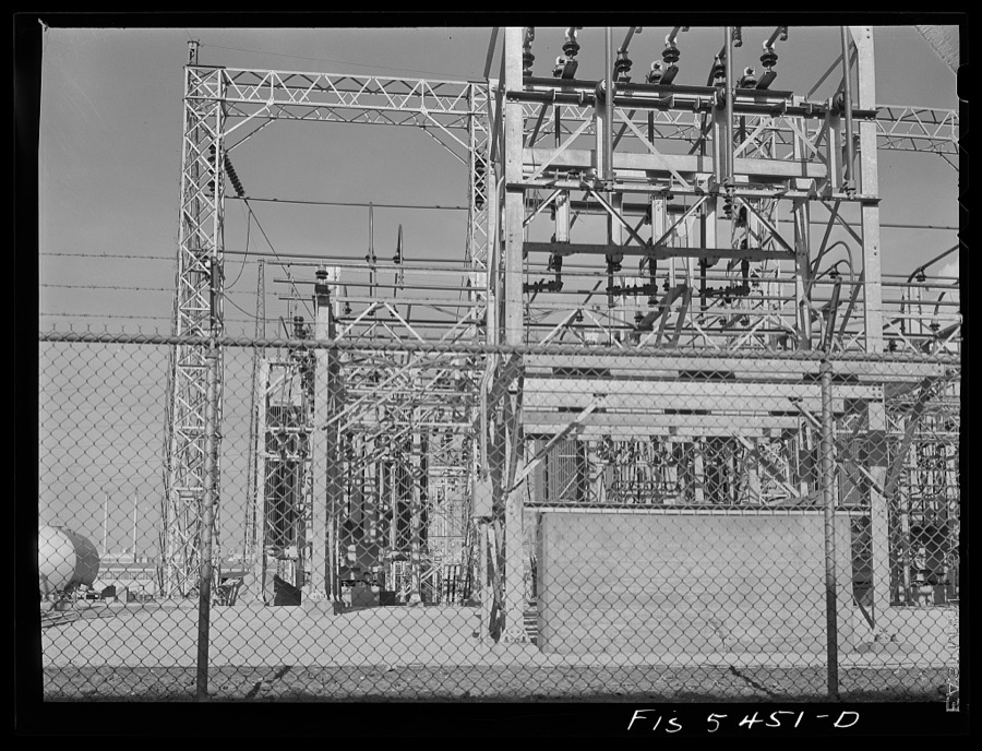
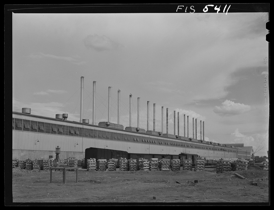
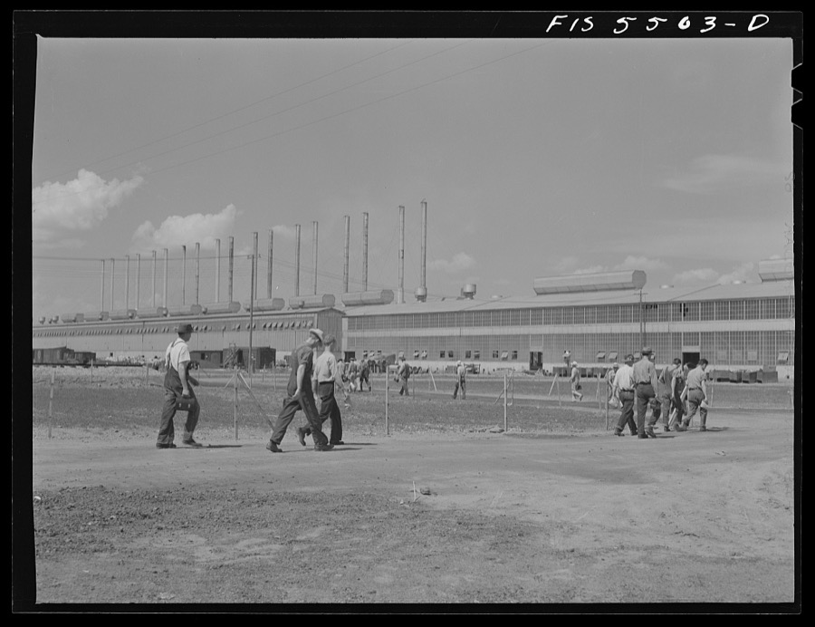
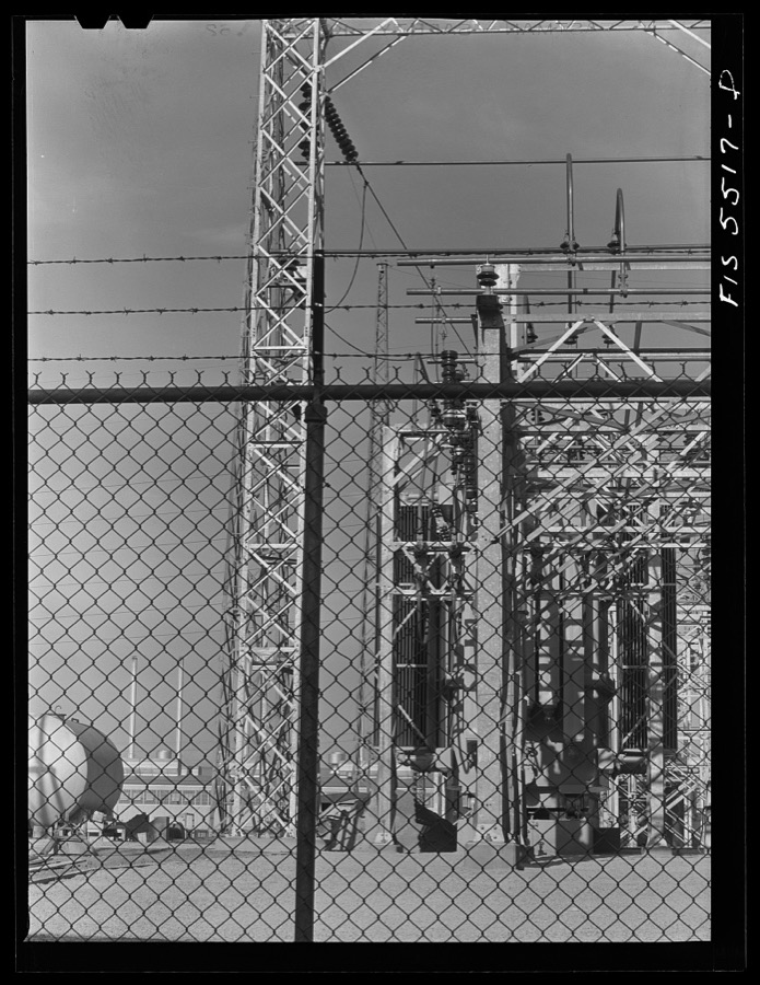
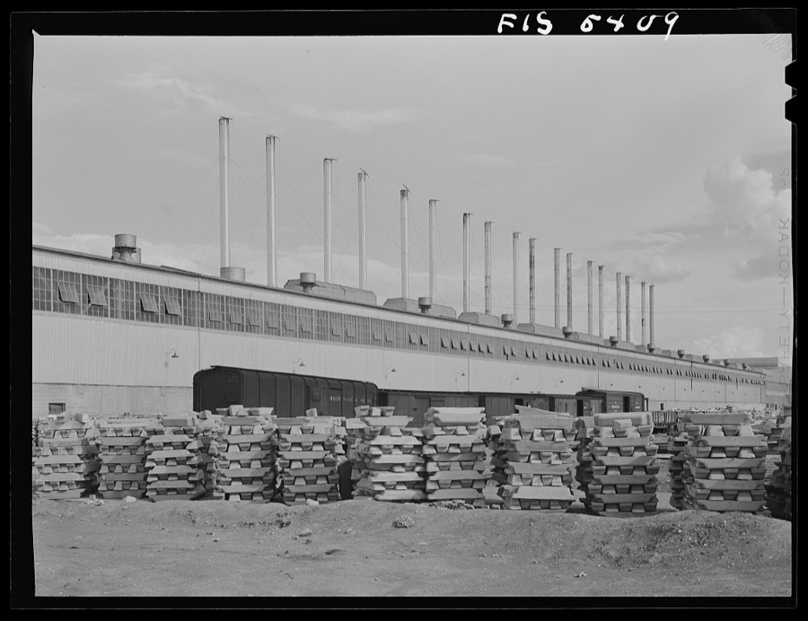
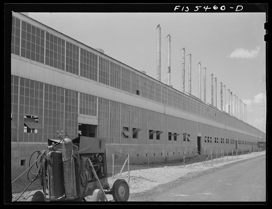
Taken for the Office of War Information and the Farm Security Administration, who photographed the country between 1935 and 1944. Works of United States government photographers, with no known restriction on use. Each opens its catalogue record.

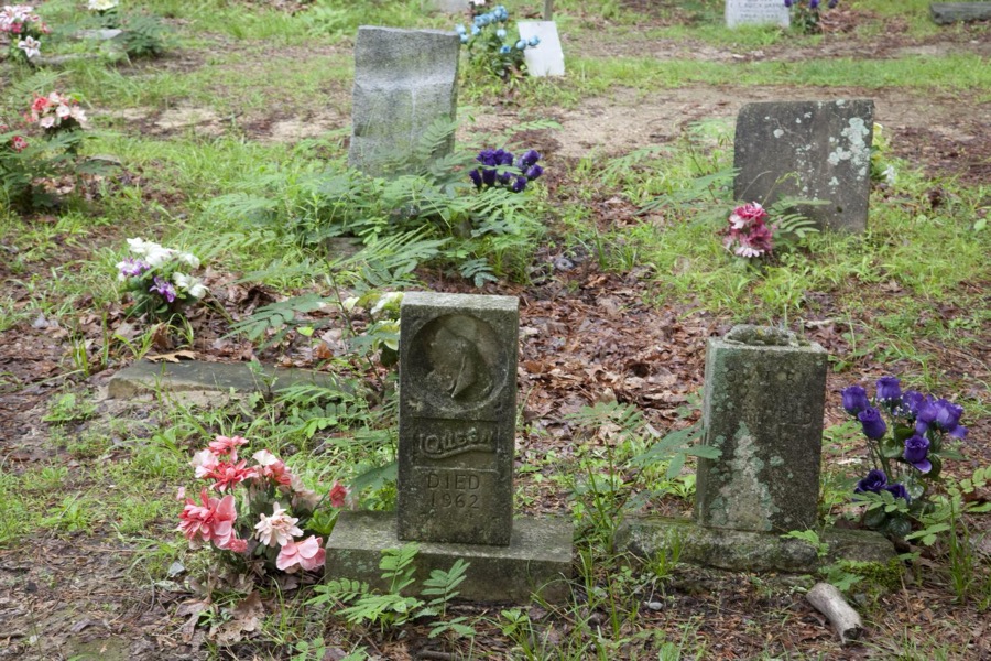







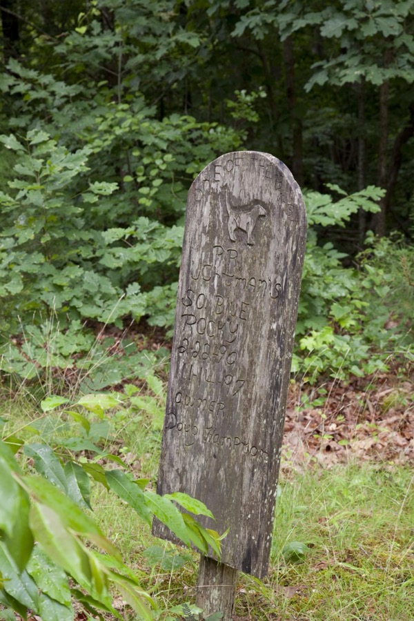








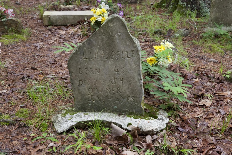





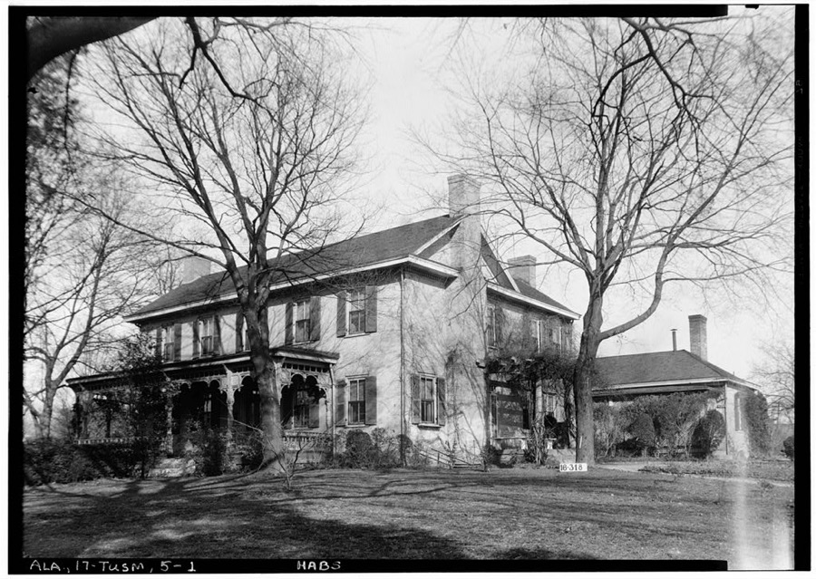
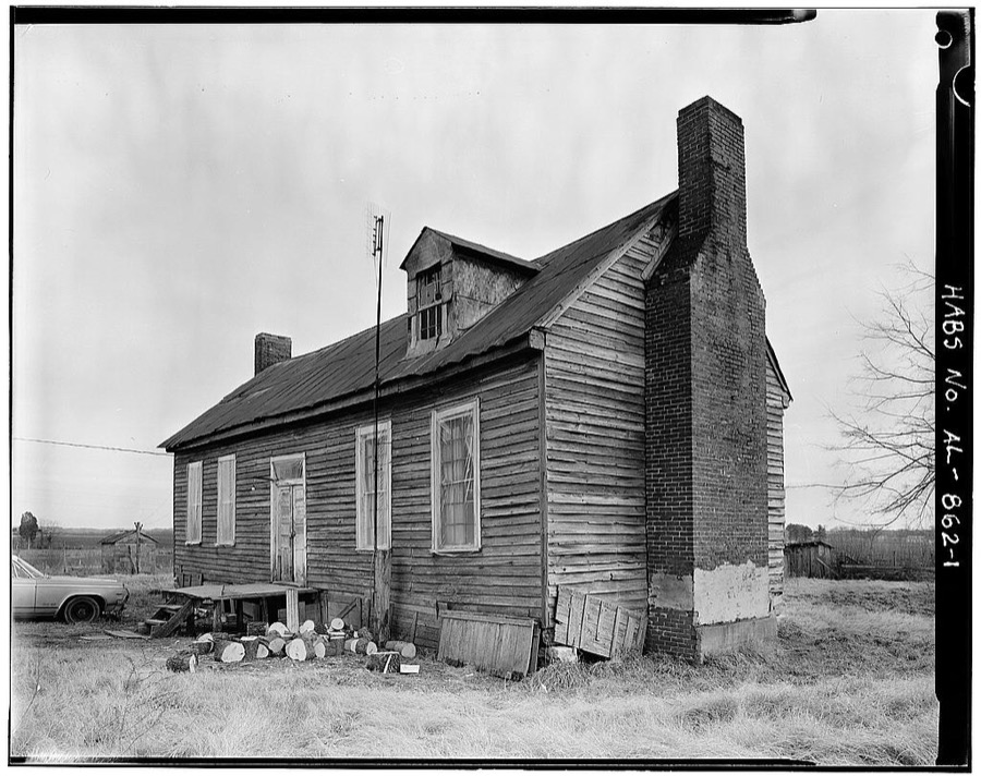
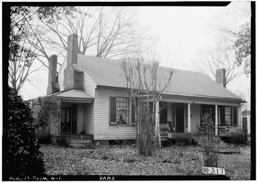
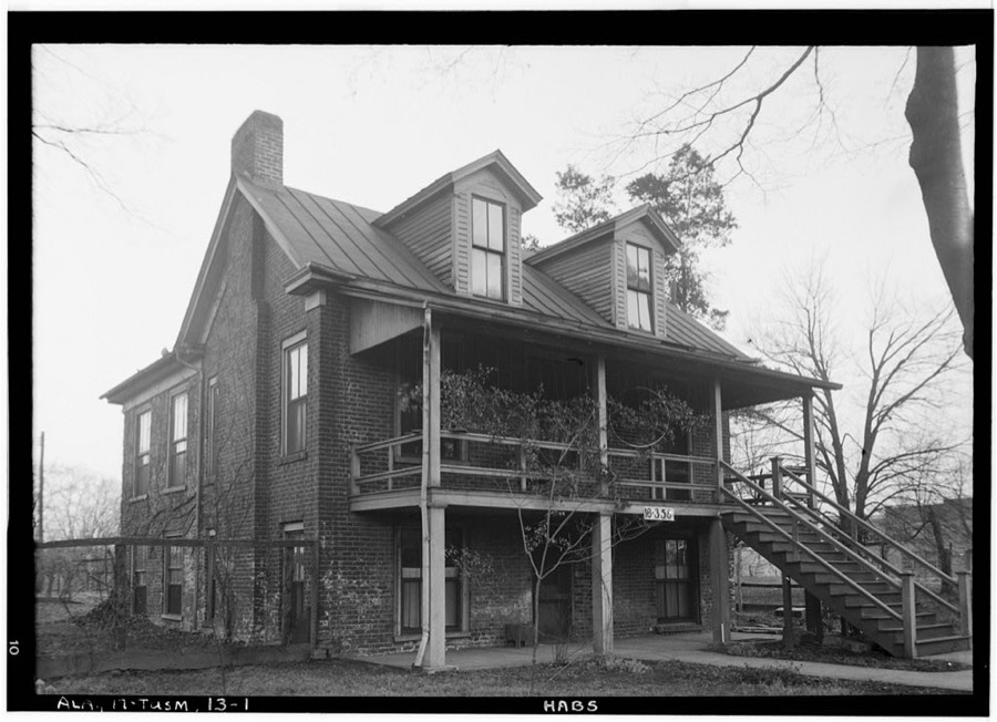
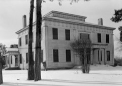
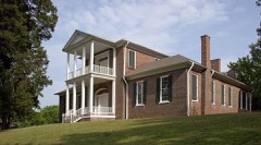
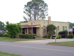
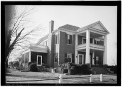
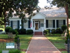
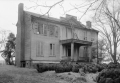
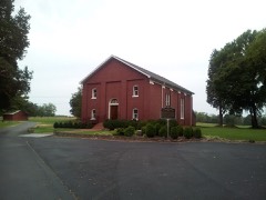
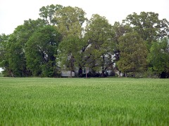
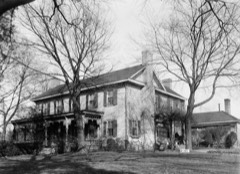
Every property in this county listed on the National Register of Historic Places, with the year it was listed and the federal nomination document.
Drawn when these were printed as single large sheets: the town seen from the air, and the county divided into its farms with every owner named. Each opens the original at the Library of Congress.
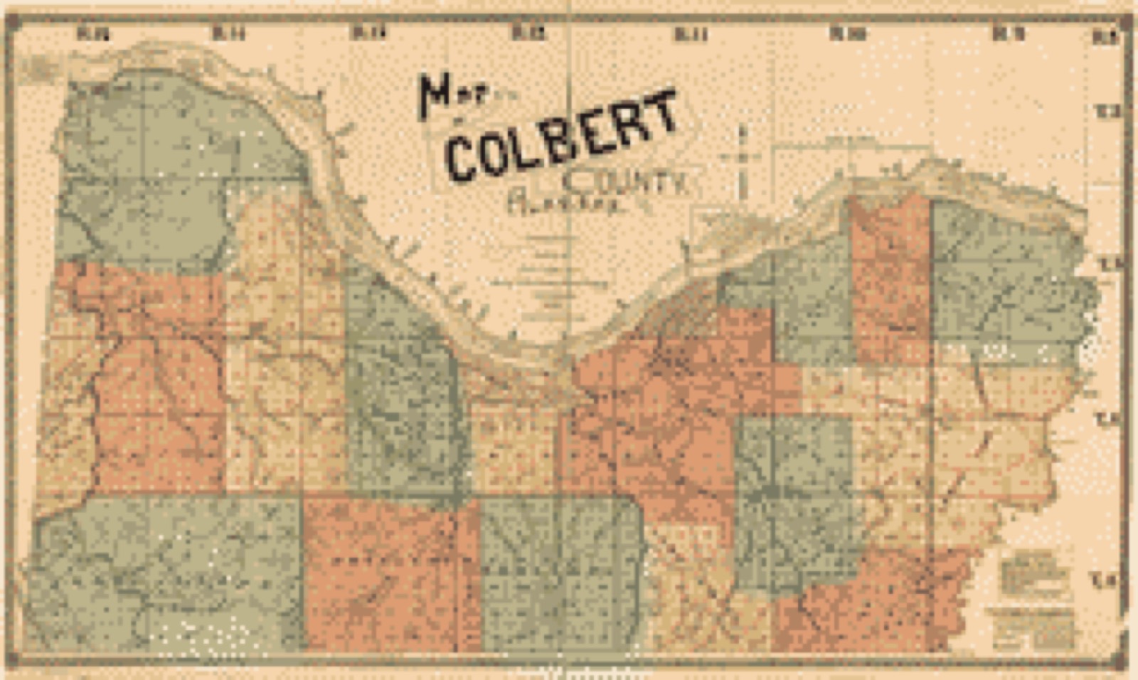
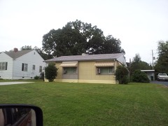
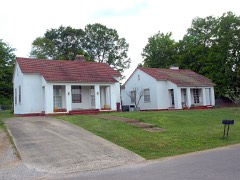
Selected from the Digital Public Library of America's 6 image records catalogued for this county. Every one shown here carries a public-domain status or a licence that permits reuse on a site that carries advertising; non-commercial, share-alike and restricted images are excluded. The selection is spread across the county's towns (at most eight per town), so no single institution's bulk upload crowds out the rest. Each opens the holding library's record, and the complete set at the Digital Public Library of America is one click away.
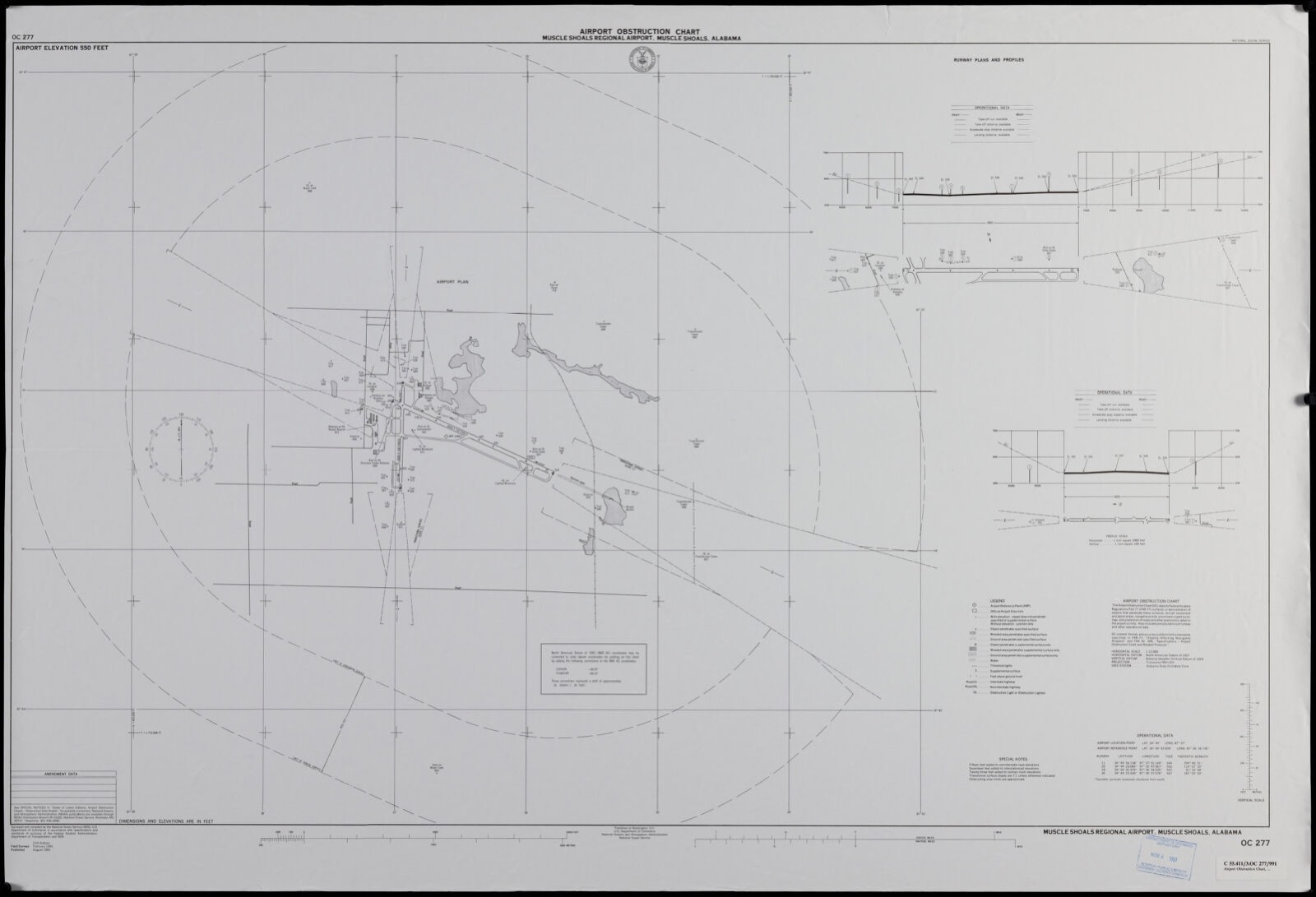
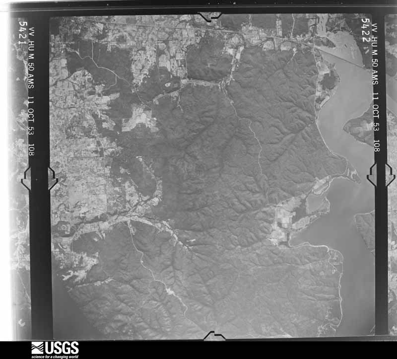
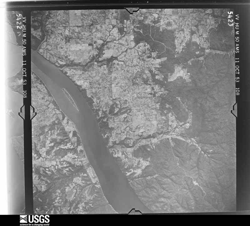
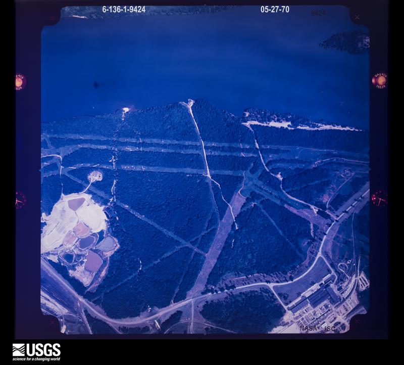
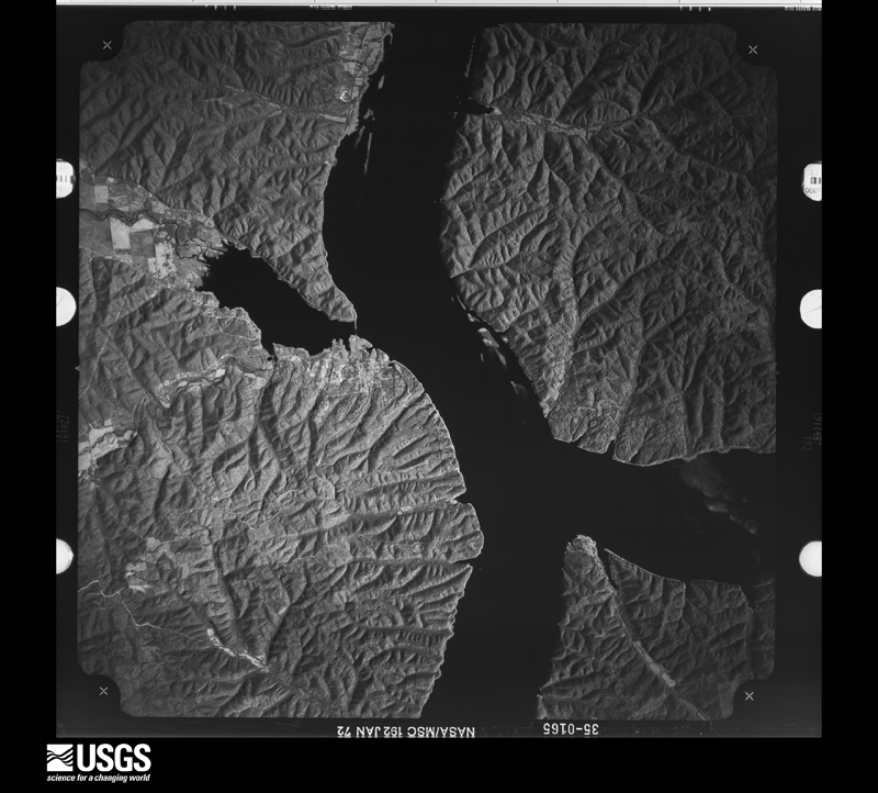
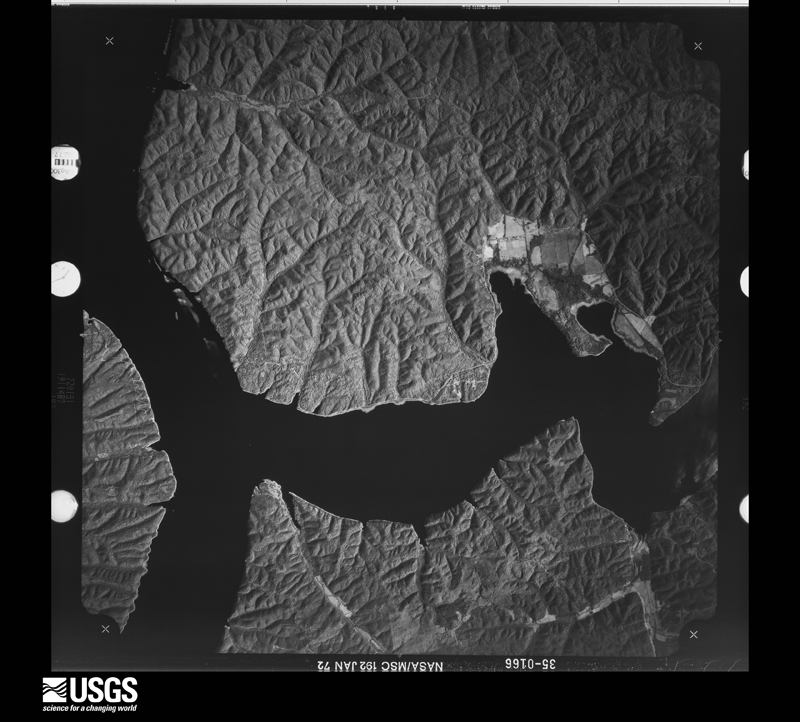
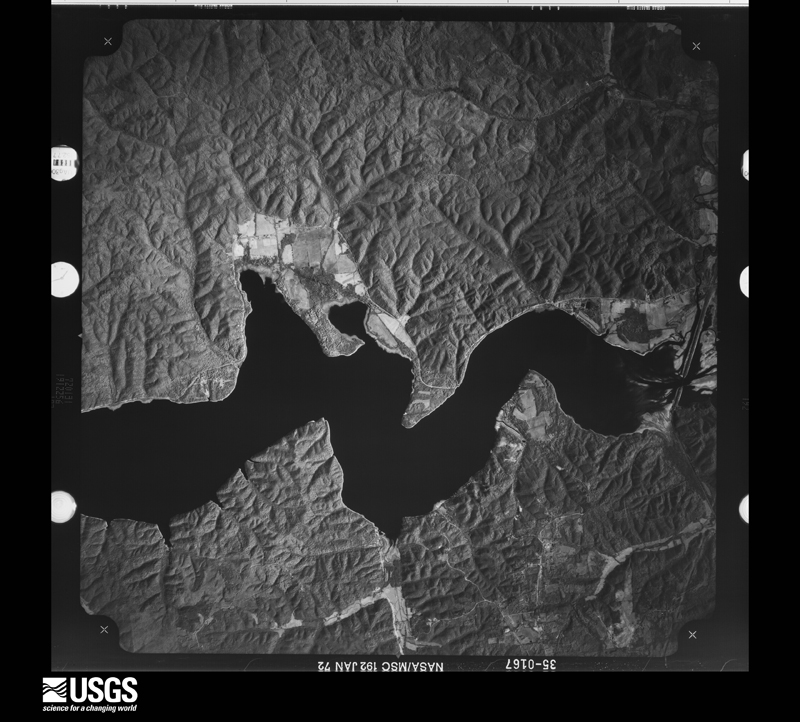
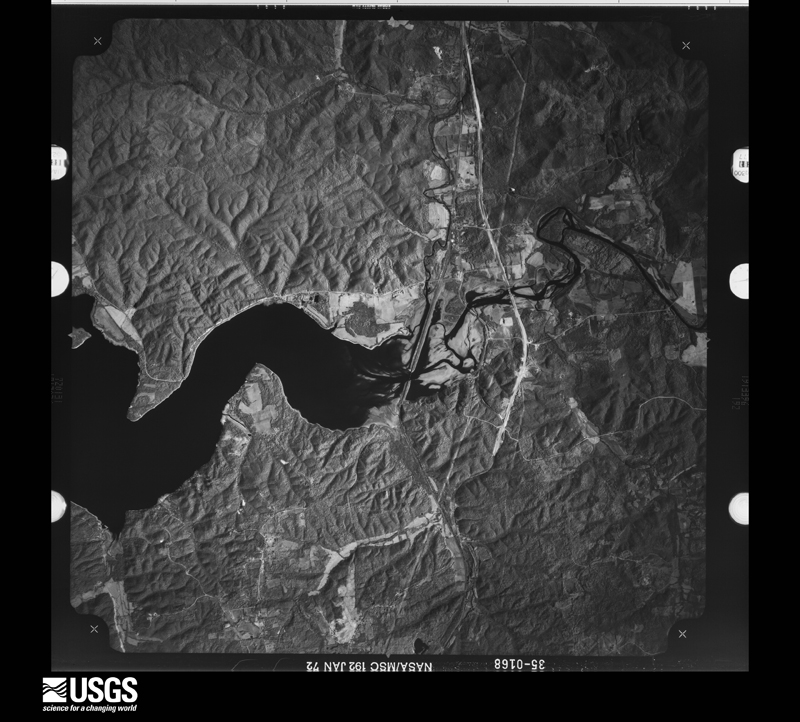
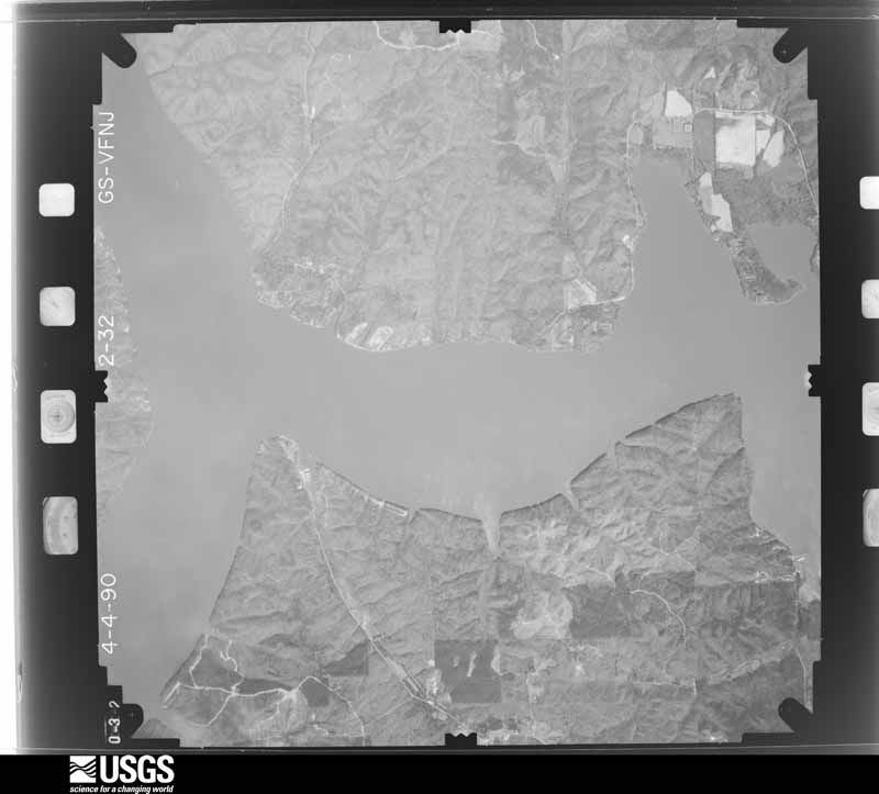
Flown by the U.S. Geological Survey between 1937 and 1989, the Aerial Photo Single Frames collection is the definitive mid-century view of the land: fields, roads and rivers as the camera saw them. The Survey holds 652 frames inside the rectangle that bounds this county; the 24 frames below were taken over the county itself, chosen across the decades of flights (at most four a year from that rectangle), so one flight cannot crowd out the rest. The full set is free to browse and download at EarthExplorer under the dataset Aerial Photo Single Frames.
















The thermometers that kept this county's weather, and the gages that measured the flow of its streams, as the federal records hold them. The extremes below are measured values from those records, not estimates.
Who lived here in 1950, one enumeration district at a time, as the Census Bureau described each district. Each row opens its official National Archives result, with Population Schedules and ED Maps available there.
Every wildfire the federal occurrence database records inside this county: 866 of them, burning about 6,828 acres. 12 started naturally and 251 were recorded as arson. Each settlement page carries the fires within five miles of it.
| Reported cause | Fires |
|---|---|
| Debris and open burning | 301 |
| Arson/incendiarism | 251 |
| Missing data/not specified/undetermined | 135 |
| Equipment and vehicle use | 81 |
| Recreation and ceremony | 47 |
| Misuse of fire by a minor | 12 |
| Natural | 12 |
| Railroad operations and maintenance | 12 |
| Smoking | 11 |
| Power generation/transmission/distribution | 2 |
| Fireworks | 1 |
| Other causes | 1 |
The five largest, by the area the report gives. One of them was set deliberately.
| Date | Cause | Size | Reported by | Name on the report |
|---|---|---|---|---|
| 15 October 2007 | Missing data/not specified/undetermined | 350 acres | Alabama Forestry Commission | THOMAS ESTATE - 1 |
| 23 March 1995 | Debris and open burning | 305 acres | Alabama Forestry Commission | not named |
| 15 March 2018 | Missing data/not specified/undetermined | 270 acres | Natchez Trace Parkway | MP 315 |
| 21 April 1994 | Equipment and vehicle use | 103 acres | Alabama Forestry Commission | not named |
| 26 February 1995 | Recreation and ceremony | 102 acres | Alabama Forestry Commission | not named |
| 17 October 2007 | Missing data/not specified/undetermined | 100 acres | Alabama Forestry Commission | THOMAS ESTATE -2 |
| 23 March 2007 | Arson/incendiarism | 88 acres | Alabama Forestry Commission | not named |
| 14 April 2011 | Missing data/not specified/undetermined | 85 acres | Natchez Trace Parkway | BEAR CREEK |
Every settlement page carries the fires within five miles of it - see the settlement index below.
The NOAA Storm Events Database holds 1,369 reports for this county, causing 5 deaths, 77 injuries and about $33,030,300 in recorded property damage. Each settlement page carries the reports that name it.
| Kind of event | Reports |
|---|---|
| Thunderstorm Wind | 996 |
| Hail | 145 |
| Flash Flood | 121 |
| Tornado | 50 |
| Lightning | 25 |
| Flood | 19 |
| Heavy Rain | 10 |
| Funnel Cloud | 3 |
The most serious of them, by death, then injury, then recorded damage. The accounts are quoted exactly as the forecast office filed them.
| When | Event | Place named | Harm | What the report says |
|---|---|---|---|---|
| February 1953 | Tornado (F3) | not stated | 1 killed, 8 hurt, $25,000 | no account filed |
| October 2010 | Lightning | Valdosta | 1 killed, 2 hurt | Two men were working outside of the Colbert Steam Plant, when they were struck. One man was revived and transported to the hospital in critical condition before passing away. The other man was admitted and released from the hospital. |
| April 1958 | Tornado (F2) | not stated | 1 killed, 1 hurt, $250,000 | no account filed |
| April 2025 | Thunderstorm Wind | Hobgood Siding | 1 killed, 1 hurt, $5,000 | A tree fell onto a home injuring one person near the intersection of Alabama Avenue and East 6th Street. |
| August 2011 | Thunderstorm Wind | Tuscumbia | 1 killed, $125,000 | Several trees were uprooted and power lines were downed by thunderstorm winds in the Locust Shores community. Along the 500 block of Locust Road, a large oak tree fell onto a mobile home, killing a female resident who was sleeping. |
| March 1965 | Tornado (F3) | not stated | 22 hurt, $250,000 | no account filed |
| November 1988 | Tornado (F3) | not stated | 16 hurt, $2,500,000 | no account filed |
| December 1957 | Tornado (F2) | not stated | 7 hurt, $25,000 | no account filed |
| April 2025 | Tornado (EF1) | Pride | 5 hurt | The tornado touched down just south of U.S. Highway 72 near Hawk Pride Mountain Road before crossing the highway and tracking along County Road 24 into southern Tuscumbia. Most damage indicators consisted of uprooted trees; however, one location featured a snapped hardwood trunk, supporting the peak wind estimate of 105 mph. The tornado continued east into Muscle Shoals, where it caused significant damage in the Holiday Trailer Park area. Several large hardwood trees were uprooted and fell onto residential units, resulting in five reported injuries. The tornado tracked just north of Northwest Alabama Regional Airport turning northward and passing through Ford City and eventually across Wilson Lake into Lauderdale County. Damage was primarily to trees with several uprooted trees, split trees, and large limbs downed in this area. |
| August 1985 | Tornado (F2) | not stated | 2 hurt, $250,000 | no account filed |
| November 2016 | Tornado (EF1) | Crooked Oak | 2 hurt | A tornado crossed into Colbert County from Franklin County. More softwood and hardwood trees were snapped causing damage to a single wide manufactured home and car shed on Jones Road. More softwood and hardwood trees were snapped as the tornado continued northeast across County Road 49. Then, as the tornado continued to move northeast multiple softwood and hardwood trees were snapped close to Underwood Mountain Road before striking a single wide manufactured home. The single wide manufactured home sustained damage consistent with EF-1 rating with destruction of roof and walls leaving floor and undercarriage in place. Two people within this home sustained injuries. Another single family dwelling next to this manufactured home sustained damage uplift of the roof damage while more snapped hardwood trees were noted just to the northeast of these houses. This is also where the tornado had the largest width of 100 yards. The tornado then lifted shortly after this damage occurred. |
| March 1992 | Tornado (F1) | not stated | 1 hurt, $2,500,000 | no account filed |
| May 2025 | Tornado (EF1) | Ford City | 1 hurt, $608,000 | The tornado touched down near Ford City where initial tree limbs snapped then rapidly began uprooting numerous trees north of River Road. Several trees were uprooted on River Road. One of these trees fell on a home and the drywall fell and scratched a child, resulting in one injury. North of River Road, several trees were found uprooted along with two collapsed silos along Sprout Spring Hollow Road. These silos had been in place since the 1930s and were completely destroyed, marking the maximum intensity of 105 mph. The tornado then tracked east-southeast toward Foster Mills and Red Bank, uprooting numerous trees along its path and snapping large limbs. The tornado then proceeded to cross the Tennessee River - Wheeler Lake into Lauderdale County. |
| May 2011 | Thunderstorm Wind | Maud | 1 hurt, $135,000 | A bowing line of severe thunderstorms producing winds between 60-70 MPH resulted in widespread wind damage across much of Colbert county. This system caused additional wind damage in the Cherokee area and across western portions of Colbert county. Damaging winds continued east along and ahead of the severe line of storms. Numerous power outages and downed trees were reported down across the county. A few power poles were knocked down by the damaging winds. Some structural damage to buildings, sheds, vehicles, and garages was reported, particularly in the Muscle Shoals and Cherokee areas. The roof was torn off the HR Block building on the corner of Avalon Avenue and Woodward Avenue in the Muscle Shoals area. Also, one person was injured at their house on Nashville Avenue. A thunderstorm wind gust of 67 mph was measured at the Northwest Alabama Regional Airport at the Muscle Shoals (MSL) ASOS at 22:17 CST. |
| June 1997 | Tornado (F1) | Leighton | 1 hurt, $100,000 | A tornado touched down near the intersection of Sockwell Lane and CR 22 and moved nearly due east causing damage to five houses in the area where it first touched down and to the high school near the end of the track. One person was injured when he fell down the stairs heading to shelter. Several trees were also downed. Several storage sheds were destroyed, too. |
| March 1955 | Tornado (F2) | not stated | 1 hurt, $25,000 | no account filed |
| May 2025 | Thunderstorm Wind | Wilson Dam | 1 hurt, $20,000 | A tree fell onto a vehicle at the intersection of Wilson Dam Road and Thunder Road. The female occupant was seriously injured and hospitalized. Time estimated by radar. |
| July 1997 | Thunderstorm Wind | Muscle Shoals | 1 hurt, $3,000 | no account filed |
| May 2001 | Lightning | Muscle Shoals Arpt | 1 hurt, $1,000 | A man working on a tractor partially covered by an open shed was injured when he was struck by lightning. The man complained of chest pains and was taken to a local hospital. The event occurred on River Road east of the city of Muscle Shoals. |
| October 2014 | Tornado (EF1) | Tuscumbia | 1 hurt | A tornado initially touched down in downtown Tuscumbia, near the intersection of 6th Street and Main Street, where two roofs were peeled off nearby businesses. The brick facade of a small retail building was torn off across 5th Street, and it's roof was partially torn off and roofing material vaulted into nearby power lines. The path continued northeast to High Street between 3rd and 4th Streets, where a very old pecan tree was uprooted and fell onto an historic home causing injury to the resident. In this residential area, multiple trees were snapped and uprooted or had large limbs broken off. Several power poles were snapped. Many more old trees were snapped an uprooted across the road along Commons Street between Mulberry and Hickory Streets.||At this point, the tornado appeared to weaken somewhat as it crossed a large corn field between Commons Street and King Avenue. It snapped branches upon reaching King Avenue and toppled Bradford pear trees on the grounds of Shoals Hospital along Billy Bowling Drive. As the tornado moved across Grand, Pasadena, and Ford Avenues and Ford Street in Muscle Shoals, it did significant damage to multiple trees throughout the neighborhood. Very minor damage was noted to a couple of houses, but nearly all damage was to trees or power poles.||The tornado intensified as it crossed Ford Street and moved into a commercial district along Woodward Avenue near 2nd Street. There was widespread structural damage to businesses and a church in this area. Numerous awnings were damaged or destroyed, roofs were partly torn off of strip malls, a few windows were broken, and several large signs along the road were blown down. Roofing was peeled off of a used car dealership and gas station and vaulted across the street into a wooded area and another nearby gas station. Power poles were snapped, and two metal power poles were bent, damaging the traffic lights at the intersection. The tornado continued across 2nd Street onto the Tennessee Valley Authority Reservation, where it snapped multiple trees along Garage Road. The tornado lifted before reaching Reservation Road, and little to no damage was noted thereafter. Minor straight-line wind damage was observed farther northeast, near Grandview Drive near the Tennessee River, but this was not associated with the tornado. |
| August 2012 | Lightning | Muscle Shoals | 1 hurt | A female was struck by lightning. Condition was unknown. |
| July 2003 | Lightning | Tuscumbia | 1 hurt | lightning struck a truck and destroyed truck tire and exploded asphalt with a six foot by one foot trench in the asphalt produced. one 14 year old male was slightly injured by debris from the flying asphalt. |
| March 2023 | Thunderstorm Wind | Red Rock | $10,000,000 | A bow echo from an embedded supercell within a line of thunderstorms intensified and produced a long-lived and at times wide swath of wind damage as it entered the Shoals, including Tuscumbia, Sheffield and Muscle Shoals, to the northeast part of the county before crossing the Tennessee River. Wind speeds were measured over 60 mph at multiple locations, and gusts may have reached up to 80-90 mph when a brick wall of a two story building collapsed and a large part of roofing was taken off another portion of the building. Trees, power poles and power lines were taken down in numerous locations. According to utilities in Sheffield, Tuscumbia and Muscle Shoals, over 60 power poles were knocked down or snapped and over 25 transformers were knocked out resulting in widespread power outages. Numerous trees were knocked down. Extensive debris had to be cleaned up off area roads and streets. At least two vehicles were damaged or destroyed by falling trees or other debris. Numerous residences experienced minor to significant damage due to falling trees, or roof damage due to the high winds, and resultant flooding inside homes. At least one home was struct by lightning sparking a damaging fire. Damage and repair costs for public, business and residential exceeded $10 Million. |
| July 2023 | Thunderstorm Wind | Colbert Hgts | $7,500,000 | A power pole was knocked down at 79890 Underwood Mountain Road. Time estimated from radar. |
| October 2007 | Thunderstorm Wind | Muscle Shoals | $1,000,000 | A large tree was blown down on a house in the Muscle Shoals community on 2nd street. |
| October 2007 | Thunderstorm Wind | Muscle Shoals | $1,000,000 | A powerline was blown down on a truck on Midland Avenue in the Muscle Shoals community. |
| August 2007 | Thunderstorm Wind | Emco Listerhill Jct | $1,000,000 | Trees and street signs blown down on Highway 227 between Muscle Shoals and Zip City. |
| May 2003 | Flash Flood | Countywide | $500,000 | extensive flooding county wide with 10 homes and businesses with flood damage. |
| May 2008 | Tornado (EF2) | Midway | $300,000 | A surveillance camera from an equipment company northeast of Leighton captured a tornado on video picking up at least 2 cars and throwing them nearly 40 feet. A home was destroyed and another heavily damaged along River Road and Second Street. Large trees were snapped and uprooted near Fosters Mill at the intersection County Road 40. An 18 wheeler was reported to be overturned in this area as well. |
| August 1999 | Thunderstorm Wind | Muscle Shoals | $300,000 | An apparent wet microburst damaged 20 to 25 houses, a shopping center, and several businesses in an area along Avalon Drive between US 43 and SR 133. Most houses sustained minor roof damage but a few were more seriously damaged. A couple of the businesses sustained major roof damage along with a portion of the Southgate shopping center. Additional damage was caused to some structures by rain coming into the buildings. Power was also disrupted in the area. |
| April 1968 | Tornado (F1) | not stated | $250,000 | no account filed |
| October 1967 | Tornado (F3) | not stated | $250,000 | no account filed |
| January 2002 | Flash Flood | Countywide | $200,000 | no account filed |
| April 2025 | Thunderstorm Wind | Ford City | $156,000 | A very large tree was knocked down onto a home at 7355 River Road. |
| August 2011 | Thunderstorm Wind | Tuscumbia | $150,000 | Numerous trees and powerlines were down between Tuscumbia, Muscle Shoals and Leighton. Several power poles were snapped and a few roofs of homes sustained minor shingle damage. Peak winds were estimated to be around 80 mph along and just ahead the bowing line of severe thunderstorms. |
| April 2006 | Tornado (F1) | Tuscumbia | $125,000 | A tornado produced scattered damage from just southwest of Tuscumbia through Tuscumbia. The tornado had an estimated maximum wind speed of around 90 miles an hour before it weakened and eventually dissipated. A gas station on the southwest portion of Tuscumbia suffered extensive damage, where a 50 foot billboard sign was twisted backwards and several of the gas pumps were heavily damaged. One of the gas pumps was dislodged from the pavement. Eight homes suffered minor to moderate roof and structural damage in and around Tuscumbia. |
| April 2025 | Thunderstorm Wind | Valdosta | $100,000 | A tree was knocked down onto a home at 116 Hiawassee in Sheffield. |
| August 2011 | Thunderstorm Wind | Sheffield | $100,000 | Numerous trees were blown down by thunderstorm winds from near Sheffield to just east of New Bethel, and in the Littleville area. In the Littleville area, a tree was blown onto a house and a building overhang was blown away due to thunderstorm winds. |
| May 1995 | Tornado (F1) | not stated | $80,000 | A supercell thunderstorm moved out of Mississippi into Colbert County producing numerous reports of large hail. A small tornado touched down about two miles east of the Muscle Shoals airport (MSL) and moved on a path about six and one-half miles in length. Several buildings sustained some damage along with power lines and trees down. Emergency Medical Association reported that five houses and three mobile homes were damaged. |
| April 2008 | Tornado (EF1) | Hobgood Siding | $75,000 | A storm survey was completed in Colbert County Alabama. A tornado was determined to have touched down about two miles east of Tuscumbia along Highway 20 at the Colbert County Road Department. A building was heavily damaged at the road department. Intially, the tornado produced EF-1 damage for one half of a mile along Highway 72. Up to a 30000 square foot portion of a roof at the Whitesell distribution center was ripped apart by the tornado. The tornado maintained a maximum speed of 85 mph for approximately 1/2 of a mile before weakening as it crossed Highway 72. Its path width while maintaining EF-1 strength was 40 yards.||The Tornado then produced EF-0 damage the remainder of its 6.5 mile path. The width of the tornado was 20 yards, while an EF-0. The tornado abruptly dissipated near Cottontown, Alabama.||Rear flank downdraft winds likely produced damage to adjacent areas near the tornado including a porch being uplifted at a residence. |
| April 2006 | Tornado (F1) | Colbert Hgts | $75,000 | A tornado with maximum estimated winds of around 90 miles an hour moved northeast from near Colbert Heights elementary school and continued east and northeast to the Colbert Heights high school. Numerous trees were down in the path of the tornado. The inital tornado damage occurred at the Colbert Heights elementary school, where a fence at the baseball field at the elementary school was heavily damaged. A manufactured home across from the elementary school suffered extensive roof and porch damage. Most of the roof was blown nearly 100 yards behind the home. At Colbert Heights high school, damage included a scoreboard, which was blown and twisted off of its base and a nearby baseball dugout at the high school lost its roof. Also, a large outdoor antenna at the high school was twisted in two. There was continuous light tree damage until the tornado reached the Leighton community, where a large barn suffered extensive roof damage. Corn stalks from a nearby field were found embedded between the remaining barn walls. The tornado uprooted five large oak trees before abruptly dissipating in Leighton. |
| May 2011 | Thunderstorm Wind | Line Kiln | $60,000 | A severe thunderstorm ahead of a developing squall line produced winds between 60-70 MPH resulting in widespread wind damage in the Cherokee community. Several trees were blown down around in the area. Some trees were blocking portions of highway 72. Also, some structural damage occurred. This included damage to a sign at the Cherokee High School and a tree that fell on a home on Guthrie Street. Power outages were reported across the entire city. A railroad crossing was also damaged by the winds. |
| April 2025 | Thunderstorm Wind | Muscle Shoals | $58,000 | A tree was knocked down onto a house at 1521 Ridge Drive. |
| November 2003 | Thunderstorm Wind | Muscle Shoals | $50,000 | Several trees were blown down due to thunderstorm winds. At least two trees were blown onto homes resulting in roof damage. |
| August 2000 | Thunderstorm Wind | Leighton | $50,000 | Numerous trees and power lines were blown down from near the city of Leighton, northward all the way to the Tennessee River. A few of the fallen trees landed on homes. |
| July 2000 | Thunderstorm Wind | Countywide | $50,000 | A line of severe thunderstorms rolled across Colbert County causing scattered damage throughout the county. Trees and power lines were blown down in several locations, and a few of the downed trees fell onto cars and homes. A few reports of small hail were also received. There were no reports of any injuries. |
| January 2002 | Flash Flood | Countywide | $50,000 | no account filed |
| March 2023 | Thunderstorm Wind | Spring Vly | $49,000 | Shingles were blown off of a house which caused some water to enter the residence. |
| April 2025 | Thunderstorm Wind | Muscle Shoals | $47,000 | A tree was knocked down onto a home at 815 Sterling Boulevard in Sheffield. |
| March 2023 | Lightning | Norala Jct | $46,000 | Lightning struck a residence at 313 Kimberly Avenue sparking a fire and causing significant damage. |
| June 1998 | Thunderstorm Wind | Countywide | $45,000 | Numerous trees and power lines were down across the county. A few trees fell on homes. A gust to 66 mph was reported at the Muscle Shoals ASOS. |
| September 2012 | Lightning | Allsboro | $40,000 | Lightning struck a tree and moved over to a well house, which caused a surge of power into a home, igniting a fire. The lightning strike occurred about five miles south of highway 72 near the Alabama and Mississippi state line near Allsboro. |
| April 1995 | Thunderstorm Wind | Muscle Shoals | $38,000 | High winds and hail swept across the northeast section of Colbert County destroying a mobile home and damaging a barber shop in the Brick-Hatton area. Hail ranged in size from one to one and one-half inches. There were numerous reports of minor damage to trees in the area. |
| May 2010 | Thunderstorm Wind | Colbert Hgts | $36,000 | Trees and powerlines were reported downed in the Colbert Heights area, on Woodmont Drive and Bell road, and on Underwood Mountain road. |
| June 1999 | Flash Flood | Muscle Shoals | $35,000 | Several roads and businesses were flooded from heavy rainfall of two to four inches of rain. |
| April 2009 | Tornado (EF1) | Old Bethel | $33,000 | This was an EF-1 tornado with a peak wind of 100 mph, path length of 0.26 miles, and a maximum path width of 75 yards. The tornado touched down along County Line Road about one mile south of Whiteoak and moved northward before lifting before reaching Alabama Highway 157 near Bingham. The roof of a church was heavily damaged and several large trees were snapped or uprooted. Also, numerous power lines were blown down. |
| February 2024 | Thunderstorm Wind | Pickwick Lake | $30,000 | Multiple trees and a power pole were knocked down on Riverton Rose Trace near the TVA campground. A power pole fell on a vehicle temporarily trapping an occupant. Time estimated by radar. |
| June 2010 | Thunderstorm Wind | Valdosta | $30,000 | Trees and power lines were reported from Tuscumbia to Muscle Shoals. Several trees fell on houses, causing some structural damage. Some locations where trees were reported down included Old Lee Highway, Hill Ave, Grove Ave, W Brighton, Clark Street, State Street, Courtland Ave, and Portage Ave. |
| August 2010 | Thunderstorm Wind | Sheffield | $30,000 | Multiple trees and power outages were blown down across much of the area in Sheffield. |
| January 2000 | Thunderstorm Wind | Countywide | $30,000 | Numerous trees and power lines were blown down by thunderstorm wind throughout the county, but mainly in the central and eastern parts. Roofs were blown off of a few barns in Colbert Heights, south of Tuscumbia. Gutters were knocked off several homes in eastern Tuscumbia. One vehicle was heavily damaged when a tree fell on it. |
The Survey's mineral resources record lists 40 workings inside this county. 8 still produce and 32 are closed or unrecorded. Each settlement page carries the workings within five miles of it.
| Commodity | Workings |
|---|---|
| Iron | 14 |
| Aluminum | 11 |
| Stone, Crushed/Broken | 7 |
| Kaolin | 4 |
| Aluminum, Kaolin | 3 |
| Sand and Gravel, Construction | 2 |
| Stone, Crushed/Broken, Limestone, General, Rock Asphalt | 1 |
| Silica | 1 |
| Silica, Aluminum | 1 |
| Water, Free | 1 |
The least common of them first, because a county's hundredth gravel pit says nothing its first ten did not.
| Where | Site | Commodity | Status | Recorded |
|---|---|---|---|---|
| Alabama Asphaltic Limestone Company Quarry | Stone, Crushed/Broken, Limestone, General, Rock Asphalt | Producer | 1923 | |
| Doan Hollow Tripoli Deposit | Silica | Occurrence | Tripoli | |
| Lister Hill Reduction Plant | Silica, Aluminum | Plant | ||
| Margerum | Aluminum, Water, Free | Unknown | Surface | |
| Colbert County Hwy. Dept. Pit | Sand and Gravel, Construction | Producer | ||
| Sand and Gravel Pit | Sand and Gravel, Construction | Past Producer | ||
| D Prospect | Aluminum, Kaolin | Prospect | ||
| E Prospect | Aluminum, Kaolin | Prospect | ||
| Margerum Bauxite District | Aluminum, Kaolin | Prospect | 1921 | |
| G Prospect | Aluminum, Kaolin | Prospect | ||
| H Prospect | Aluminum, Kaolin | Prospect | ||
| K Prospect | Aluminum, Kaolin | Prospect | ||
| Tva Pit | Aluminum, Kaolin | Past Producer | ||
| Allsboro Quarry & Mill | Stone, Crushed/Broken | Producer | ||
| Cherokee Quarry | Stone, Crushed/Broken | Producer | ||
| Margem Quarry | Stone, Crushed/Broken | Producer | ||
| Quarry | Stone, Crushed/Broken | Past Producer | ||
| Quarry | Stone, Crushed/Broken | Past Producer | ||
| Tuscumbia Quarry | Stone, Crushed/Broken | Producer | ||
| Tuscumbia Quarry | Stone, Crushed/Broken | Producer | ||
| A Prospect | Aluminum | Prospect | ||
| B Prospect | Aluminum | Prospect | ||
| C Prospect | Aluminum | Prospect | ||
| F Prospect | Aluminum | Prospect | ||
| I Prospect | Aluminum | Prospect | ||
| L Prospect | Aluminum | Prospect | ||
| Kent Mountain Mines | Iron | Past Producer | Goethite | |
| Lagrange | Iron | Unknown | ||
| Unnamed | Iron | Unknown | ||
| Unnamed | Iron | Unknown | ||
| Unnamed | Iron | Unknown | ||
| Unnamed | Iron | Unknown | ||
| Unnamed | Iron | Unknown | ||
| Unnamed | Iron | Unknown | ||
| Unnamed | Iron | Unknown | ||
| Unnamed | Iron | Unknown | ||
| Unnamed | Iron | Unknown | ||
| Unnamed | Iron | Unknown | ||
| Unnamed | Iron | Unknown | ||
| Unnamed | Iron | Unknown |
Named settlements recorded in the Geographic Names Information System, each with the topographic sheets covering it. Villages, hamlets and abandoned places alike. Each is shown with the nearest named watercourse or landform and the survey quadrangle it falls on. The 2 places that were also surveyed for fire insurance come first, with the number of atlases and photographs held for them.
Tri-Cities census division · 35660 · Near Jackson Hollow · Florence quadrangle
19 sheets, 1914 to 1986
Fire insurance: 7 atlases
Tri-Cities census division · 35674 · On Throckmorton Branch · Tuscumbia quadrangle
18 sheets, 1924 to 1986
Fire insurance: 9 atlases
Leighton census division · 35661 · On McKiernan Creek · Killen quadrangle
18 sheets, 1914 to 1986
Cherokee census division · 35616 · Near McCluskey Hollow · Bishop quadrangle
13 sheets, 1936 to 1994
Tri-Cities census division · 35661 · On McKiernan Creek · Killen quadrangle
18 sheets, 1914 to 1986
No longer a settlement
Littleville census division · 35616 · On McLemore Branch · Barton quadrangle
20 sheets, 1925 to 1986
Littleville census division · 35674 · On Smith Creek · Tuscumbia quadrangle
18 sheets, 1924 to 1986
Tri-Cities census division · 35674 · Near Milk Spring Hollow · Tuscumbia quadrangle
18 sheets, 1924 to 1986
Leighton census division · 35646 · On Shaw Branch · Wheeler Dam quadrangle
17 sheets, 1914 to 1986
Leighton census division · 35646 · Near Buckeye Hill · Town Creek quadrangle
15 sheets, 1936 to 1986
Cherokee census division · 35616 · On Gibbs Branch · Bishop quadrangle
13 sheets, 1936 to 1994
Cherokee census division · 35616 · On Mill Branch · Bishop quadrangle
13 sheets, 1936 to 1994
Cherokee census division · 35616 · Near Geise Hollow · Margerum quadrangle
19 sheets, 1911 to 1994
Leighton census division · 35646 · Near Campbell Hollow · Leighton quadrangle
19 sheets, 1924 to 1986
No longer a settlement
Cherokee census division · 35616 · Near Cary Hollow · Margerum quadrangle
19 sheets, 1911 to 1994
No longer a settlement
Tri-Cities census division · 35674 · On Mill Creek · Pride quadrangle
19 sheets, 1925 to 1986
Cherokee census division · 35616 · On Cherokee Branch · Cherokee quadrangle
19 sheets, 1924 to 1986
Cherokee census division · 35616 · Near Dark Hollow · Waterloo quadrangle
18 sheets, 1911 to 1994
No longer a settlement
Cherokee census division · 35616 · On Browns Creek · Margerum quadrangle
19 sheets, 1911 to 1994
Tri-Cities census division · 35660 · By York Bluffs · Florence quadrangle
19 sheets, 1914 to 1986
Littleville census division · 35674 · Near Colbert Mountain · Tuscumbia quadrangle
18 sheets, 1924 to 1986
Tri-Cities census division · 35674 · Near Milk Spring Hollow · Tuscumbia quadrangle
18 sheets, 1924 to 1986
Leighton census division · 35646 · On Haw Branch · Town Creek quadrangle
15 sheets, 1936 to 1986
Cherokee census division · 35616 · Near Hayes Hollow · Waterloo quadrangle
18 sheets, 1911 to 1994
No longer a settlement
Leighton census division · 35661 · On Hawkins Creek · Killen quadrangle
18 sheets, 1914 to 1986
No longer a settlement
Cherokee census division · 35653 · On Beech Lick Branch · Pleasant Grove quadrangle
19 sheets, 1925 to 1986
No longer a settlement
Cherokee census division · 35616 · On Moon Spring Branch · Cherokee quadrangle
19 sheets, 1924 to 1986
No longer a settlement
Tri-Cities census division · 35660 · By York Bluffs · Florence quadrangle
19 sheets, 1914 to 1986
Tri-Cities census division · 35660 · By York Bluffs · Florence quadrangle
19 sheets, 1914 to 1986
Tri-Cities census division · 35674 · Leighton quadrangle
19 sheets, 1924 to 1986
Littleville census division · 35674 · On Stinking Bear Creek · Russellville quadrangle
20 sheets, 1924 to 1986
Leighton census division · 35661 · On Shegog Creek · Killen quadrangle
18 sheets, 1914 to 1986
Leighton census division · 35672 · On South Fork Kittikaski Branch · Wheeler Dam quadrangle
17 sheets, 1914 to 1986
Tri-Cities census division · 35660 · On Spring Creek · Florence quadrangle
19 sheets, 1914 to 1986
No longer a settlement
Littleville census division · 35674 · Near Red Rock Valley · Pride quadrangle
19 sheets, 1925 to 1986
No longer a settlement
Cherokee census division · 35616 · On Colbert Creek · Cherokee quadrangle
19 sheets, 1924 to 1986
Cherokee census division · 35616 · On Mill Branch · Bishop quadrangle
13 sheets, 1936 to 1994
No longer a settlement
Leighton census division · 35646 · On Shaw Branch · Wheeler Dam quadrangle
17 sheets, 1914 to 1986
Littleville census division · 35674 · On Hawk Pride Mountain · Pride quadrangle
19 sheets, 1925 to 1986
Cherokee census division · 35616 · On McLemore Branch · Pleasant Grove quadrangle
19 sheets, 1925 to 1986
No longer a settlement
Leighton census division · 35674 · On Isbell Branch · Leighton quadrangle
19 sheets, 1924 to 1986
No longer a settlement
Cherokee census division · 35616 · Near Spencer Hollow · Margerum quadrangle
19 sheets, 1911 to 1994
No longer a settlement
Tri-Cities census division · 35674 · On Thornton Branch · Tuscumbia quadrangle
18 sheets, 1924 to 1986
Leighton census division · 35646 · Near Doss Hollow · Old Bethel quadrangle
19 sheets, 1924 to 1986
Leighton census division · 35646 · Near LaGrange Mountain · Leighton quadrangle
19 sheets, 1924 to 1986
No longer a settlement
Tri-Cities census division · 35661 · Near Fleet Hollow · Killen quadrangle
18 sheets, 1914 to 1986
Tri-Cities census division · 35661 · Near Fleet Hollow · Killen quadrangle
18 sheets, 1914 to 1986
Cherokee census division · 35616 · Near Sellers Hollow · Cherokee quadrangle
19 sheets, 1924 to 1986
Littleville census division · 35654 · By Cook Bluff · Russellville quadrangle
20 sheets, 1924 to 1986
Cherokee census division · 35616 · In Lime Kiln Hollow · Margerum quadrangle
19 sheets, 1911 to 1994
Littleville census division · 35674 · On Dillard Branch · Russellville quadrangle
20 sheets, 1924 to 1986
Littleville census division · 35674 · Near Timber Knob Mountain · Pride quadrangle
19 sheets, 1925 to 1986
No longer a settlement
Littleville census division · 35654 · On Rocky Branch · Russellville quadrangle
20 sheets, 1924 to 1986
Tri-Cities census division · 35660 · On Spring Creek · Florence quadrangle
19 sheets, 1914 to 1986
No longer a settlement
Cherokee census division · 35616 · On Cripple Deer Creek · Bishop quadrangle
13 sheets, 1936 to 1994
Tri-Cities census division · 35674 · On Throckmorton Branch · Tuscumbia quadrangle
18 sheets, 1924 to 1986
Cherokee census division · 35616 · Near Hammond Hollow · Margerum quadrangle
19 sheets, 1911 to 1994
Cherokee census division · 35616 · Near Todd Hollow · Bishop quadrangle
13 sheets, 1936 to 1994
Littleville census division · 35674 · Near Tuscumbia Valley · Tuscumbia quadrangle
18 sheets, 1924 to 1986
Cherokee census division · 35616 · On Moon Spring Branch · Cherokee quadrangle
19 sheets, 1924 to 1986
Leighton census division · 35646 · On Midway Branch · Town Creek quadrangle
15 sheets, 1936 to 1986
Littleville census division · 35674 · Near Richardson Point · Tuscumbia quadrangle
18 sheets, 1924 to 1986
Cherokee census division · 35616 · On Hester Branch · Bishop quadrangle
13 sheets, 1936 to 1994
Tri-Cities census division · 35661 · Near Fleet Hollow · Killen quadrangle
18 sheets, 1914 to 1986
No longer a settlement
Littleville census division · 35616 · On Beeswax Branch · Barton quadrangle
20 sheets, 1925 to 1986
No longer a settlement
Cherokee census division · 35616 · On Henderson Branch · Bishop quadrangle
13 sheets, 1936 to 1994
Littleville census division · 35674 · Near Keenum Hollow · Pride quadrangle
19 sheets, 1925 to 1986
Cherokee census division · 35616 · On Malone Creek · Cherokee quadrangle
19 sheets, 1924 to 1986
No longer a settlement
Littleville census division · 35674 · Near Sanderson Cove · Barton quadrangle
20 sheets, 1925 to 1986
Leighton census division · 35661 · Near Abernathy Bottom · Killen quadrangle
18 sheets, 1914 to 1986
Tri-Cities census division · 35674 · On Spring Creek · Tuscumbia quadrangle
18 sheets, 1924 to 1986
No longer a settlement
Leighton census division · 35654 · On Mulwee Branch · Old Bethel quadrangle
19 sheets, 1924 to 1986
Tri-Cities census division · 35661 · By York Bluffs · Florence quadrangle
19 sheets, 1914 to 1986
Leighton census division · 35646 · Near Doss Hollow · Old Bethel quadrangle
19 sheets, 1924 to 1986
No longer a settlement
Leighton census division · 35661 · On McKiernan Creek · Killen quadrangle
18 sheets, 1914 to 1986
Leighton census division · 35661 · On McKiernan Creek · Killen quadrangle
18 sheets, 1914 to 1986
Littleville census division · 35674 · Near Richardson Point · Tuscumbia quadrangle
18 sheets, 1924 to 1986
Leighton census division · 35646 · On Watson Spring Branch · Old Bethel quadrangle
19 sheets, 1924 to 1986
No longer a settlement
Littleville census division · 35674 · Near Sand Mountain · Pride quadrangle
19 sheets, 1925 to 1986
Littleville census division · 35674 · On Greenhill Branch · Pride quadrangle
19 sheets, 1925 to 1986
Tri-Cities census division · 35674 · On Throckmorton Branch · Tuscumbia quadrangle
18 sheets, 1924 to 1986
Tri-Cities census division · 35660 · By York Bluffs · Florence quadrangle
19 sheets, 1914 to 1986
Tri-Cities census division · 35660 · On Throckmorton Branch · Tuscumbia quadrangle
18 sheets, 1924 to 1986
Cherokee census division · 35616 · On Horse Branch · Waterloo quadrangle
18 sheets, 1911 to 1994
Cherokee census division · 35653 · On Denton Creek · Pleasant Grove quadrangle
19 sheets, 1925 to 1986
Littleville census division · 35674 · Frankfort quadrangle
19 sheets, 1925 to 1986
No longer a settlement
Leighton census division · 35646 · On Midway Branch · Town Creek quadrangle
15 sheets, 1936 to 1986
No longer a settlement
Tri-Cities census division · 35660 · By York Bluffs · Florence quadrangle
19 sheets, 1914 to 1986
Tri-Cities census division · 35660 · By York Bluffs · Florence quadrangle
19 sheets, 1914 to 1986
Tri-Cities census division · 35674 · On Throckmorton Branch · Tuscumbia quadrangle
18 sheets, 1924 to 1986
Tri-Cities census division · 35674 · On Isbell Branch · Leighton quadrangle
19 sheets, 1924 to 1986
Tri-Cities census division · 35661 · Near Fleet Hollow · Killen quadrangle
18 sheets, 1914 to 1986
Tri-Cities census division · 35674 · On Throckmorton Branch · Tuscumbia quadrangle
18 sheets, 1924 to 1986
Leighton census division · 35646 · Near Abernathy Bottom · Killen quadrangle
18 sheets, 1914 to 1986
Littleville census division · 35674 · Near Underwood Mountain · Tuscumbia quadrangle
18 sheets, 1924 to 1986
Tri-Cities census division · 35674 · On Throckmorton Branch · Tuscumbia quadrangle
18 sheets, 1924 to 1986
Tri-Cities census division · 35660 · On Spring Creek · Tuscumbia quadrangle
18 sheets, 1924 to 1986
Leighton census division · 35661 · On Hawkins Creek · Killen quadrangle
18 sheets, 1914 to 1986
Cherokee census division · 35616 · On Buck Branch · Margerum quadrangle
19 sheets, 1911 to 1994
No longer a settlement
Littleville census division · 35674 · Near Fuller Hollow · Tuscumbia quadrangle
18 sheets, 1924 to 1986
Leighton census division · 35646 · Near Campbell Hollow · Leighton quadrangle
19 sheets, 1924 to 1986
Tri-Cities census division · 35661 · On McKiernan Creek · Killen quadrangle
18 sheets, 1914 to 1986
The vanished settlements of Colbert County: the places named above that are no longer on the map.
18 topographic sheets and 9 fire insurance atlases, 1884 to 1956
19 topographic sheets and 7 fire insurance atlases, 1889 to 1962
The complete index, with nothing left out. Each of these is a separate record with its own page: a federal survey report, or the case file that argued a property on to the National Register. Both are public domain and reproduced word for word.
The vanished settlements of Colbert County, the places these records name that are no longer on the map.