 Block
Weller, Alabama
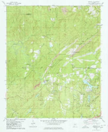
19 topographic sheets cover this place, the earliest surveyed in 1899 and the latest in 1984. It stands in the North Johns census division. It lies in ZIP code area 35444. The Survey maps it on the Abernant quadrangle.
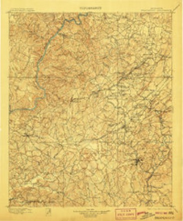
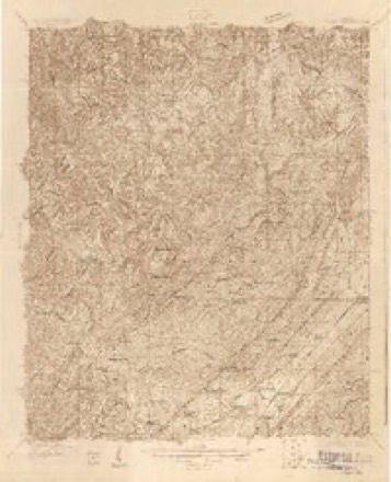
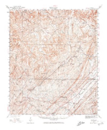
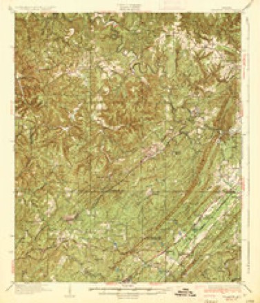
Topographic sheets covering this place
10 surveys from 19 printed sheetsMatched by testing this settlement's coordinate against the published boundary of every sheet in the United States Geological Survey's historical collection. Each opens the scanned sheet at the Survey.
- 1899 USGS Brookwood quadrangle1:125000, 4 printings
- 1927 USGS Adger quadrangle1:48000
- 1932 USGS Yolande quadrangle1:62500
- 1935 USGS Yolande quadrangle1:62500, 3 printings
- 1953 USGS Birmingham quadrangle1:250000, 4 printings
- 1956 USGS Birmingham quadrangle1:250000
- 1957 USGS Birmingham quadrangle1:250000
- 1975 USGS Yolande SW quadrangle1:24000
- 1980 USGS Abernant quadrangle1:24000
- 1984 USGS Tuscaloosa quadrangle1:100000, 2 printings
Fires near this place
250 since 1994Regional context, not property-specific evidence. The federal wildfire occurrence database lists 250 fires within 5 miles of Weller between 1994 and 2020, burning about 2,848 acres in total. 3 started naturally. 116 were recorded as arson. Distance is straight-line from the map coordinates, so a fire counted here may appear on a neighbouring settlement's page as well.
| Reported cause | Fires |
|---|---|
| Arson/incendiarism | 116 |
| Debris and open burning | 74 |
| Missing data/not specified/undetermined | 30 |
| Recreation and ceremony | 9 |
| Railroad operations and maintenance | 8 |
| Equipment and vehicle use | 3 |
| Natural | 3 |
| Misuse of fire by a minor | 2 |
| Smoking | 2 |
| Fireworks | 1 |
| Other causes | 1 |
| Power generation/transmission/distribution | 1 |
The most recent of them, most recent first, with the day each was reported and the service that recorded it.
| Date | Cause | Size | Reported by | Name on the report |
|---|---|---|---|---|
| 9 September 1995 | Recreation and ceremony | 4.0 acres | Alabama Forestry Commission | not named |
| 8 September 2016 | Missing data/not specified/undetermined | 40 acres | Alabama Forestry Commission | 20160908-14 |
| 8 September 2002 | Arson/incendiarism | 5.0 acres | Alabama Forestry Commission | not named |
| 7 September 2002 | Arson/incendiarism | 2.5 acres | Alabama Forestry Commission | not named |
| 7 September 1998 | Arson/incendiarism | under an acre | Alabama Forestry Commission | not named |
| 7 September 1997 | Debris and open burning | 2.0 acres | Alabama Forestry Commission | not named |
| 4 September 2000 | Missing data/not specified/undetermined | 1.0 acres | Alabama Forestry Commission | not named |
| 4 September 2000 | Arson/incendiarism | 5.0 acres | Alabama Forestry Commission | not named |
Settlements close enough to share some of these fires:
Mines and quarries near this place
2 within 5 milesRegional context, not property-specific evidence. The federal mineral resources record lists 2 workings within 5 miles of Weller: 2 occurrences. None of them still produces. What was taken out: Iron. Distance is straight-line from the map coordinates, so a quarry counted here may appear on a neighbouring settlement's page as well.
| Where | Site | Commodity | Status | Recorded |
|---|---|---|---|---|
| Unnamed Prospect | Iron | Occurrence | ||
| Unnamed Prospect | Iron | Occurrence |
Storms near this place
3 since 2011Regional context, not property-specific evidence. The National Weather Service names Weller in 3 storm reports between 2011 and 2014: 3 tornado. The reports record 20 deaths and 700 injuries. Each account below is quoted exactly as the forecast office filed it, from the NOAA Storm Events Database, and each date opens the federal record of that event.
| When | Event | Place named | Harm | What the report says |
|---|---|---|---|---|
| April 2011 | Tornado (EF4) | Weller | 20 killed, 700 hurt, $700,000,000 | This tornado initially touched down in rural northern Greene County and moved northeast through southern Tuscaloosa and western Jefferson Counties. The tornado caused devastating damage consistent with a violent EF4 rating to portions of the city of Tuscaloosa and western suburbs of Birmingham and then lifted northeast of downtown Birmingham. The tornado entered western Jefferson County 5.5 miles west of North Johns. The tornado continued to cause significant tree damage as it crossed Sealy Ann Mountain Rd and CR 23. As the tornado crossed Valley Creek and the far northern portion of Virginia, several homes sustained minor damage. The tornado strengthened to a violent EF4 rating with winds of 190 mph as it approached Concord. Several retail stores were destroyed along CR 46 and only piles of debris were left on their foundations. Several cinder block homes were completely destroyed with debris swept away. In addition, numerous other homes in the area were destroyed with only a few interior walls left standing. At least five fatalities occurred in Concord. The violent tornado continued northeastward toward Pleasant Grove, where extensive damage occurred across western and northern parts of town. Numerous homes were destroyed and foundations swept clean of debris. Several vehicles were picked up and tossed 15 yds. At least 11 fatalities occurred in Pleasant Grove. The tornado quickly moved into McDonald Chapel, near the intersection of CR 80 and Vicksburg St, killing one person. The tornado weakened to an EF2 with winds of 125 mph, but still damaged many homes and destroyed several others. The tornado moved through the Smithfield Estates area where it caused significant damage along Cherry Ave between Daniel Payne Dr and US Hwy 78 and resulted in one fatality. Numerous homes and a 2-story apartment complex sustained significant damage, consistent with an EF2 rating. As the tornado moved northeast, it crossed Interstate 65 near mile marker 266 and into the city of Fultondale. The path width increased to around 1.5 miles. Hundreds of trees were downed along the interstate and several light poles were folded over. Several buildings along US Hwy 31 sustained significant roof and structural damage. The tornado continued northeast where it crossed CR 124, and lifted just west of AL Hwy 79, 4 miles north of Tarrant. ||This tornado was produced by a supercell thunderstorm that began in Newton county Mississippi at 13:54 pm CST, finally dissipating in Macon county, North Carolina at approximately 21:18 pm CST. This supercell spawned several strong to violent tornadoes along its long path, including another violent EF4 tornado that crossed portions of east Central Alabama. |
| April 2014 | Tornado (EF0) | Weller | - | The tornado crossed into Jefferson County approximately three-tenths of a mile north of Weller Road and continued to produce minor tree damage. It lifted inside the Jefferson County line, approximately one mile east of Sealy Ann Mountain Road. |
| April 2014 | Tornado (EF1) | Weller | - | The tornado touched down approximately one quarter of a mile north of Alice Road and to the northeast where it snapped and uprooted hundreds of trees along the path. It continued nearly parallel to Blue Creek Road traveling over private property where it continued to produce damage. The tornado crossed Valley Creek with winds of 105 mph where additional trees were snapped or uprooted. It continued on its northeast path and eventually crossed Johns Road where several trees were snapped. The tornado lifted approximately one-tenth of a mile northeast of Sunnyhill Drive. |
Nearest settlements
The eight closest, with where each one stands in the county. Distances are straight-line, computed from the Geographic Names Information System coordinates.
| Map | Place | Distance | Sheets |
|---|---|---|---|
| Sumter | 1.6 miles | 19 | |
| Lawsontown | 2.6 miles | 20 | |
| Johns | 2.7 miles | 20 | |
| North Johns | 3.2 miles | 20 | |
| Black Diamond | 3.3 miles | 20 | |
| Adger | 4.1 miles | 20 | |
| Lowetown | 4.2 miles | 20 | |
| Blue Creek | 4.5 miles | 20 |
Provenance
This settlement is recorded in the Geographic Names Information System as feature 157230. The sheet list is computed by point-in-boundary test against the United States Geological Survey's historical topographic inventory. Both are works of the United States government and carry no copyright under 17 U.S.C. 105.
Wildfire. Short, Karen C. 2022. Spatial wildfire occurrence data for the United States, 1992-2020 [FPA_FOD_20221014]. 6th Edition. Fort Collins, CO: Forest Service Research Data Archive. https://doi.org/10.2737/RDS-2013-0009.6 Collected with United States Government funding and usable without additional permissions or fees.
Mines and quarries. USGS Mineral Resources Data System (MRDS) https://mrdata.usgs.gov/mrds/ A work of the United States government, no copyright under 17 U.S.C. 105.
Storms. NOAA National Centers for Environmental Information, Storm Events Database https://www.ncei.noaa.gov/stormevents/ A work of the United States government, no copyright under 17 U.S.C. 105. Narratives are quoted verbatim from the National Weather Service report and are not edited or summarised.