 Block
White City, Alabama
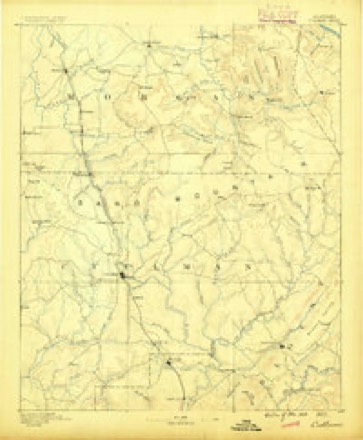
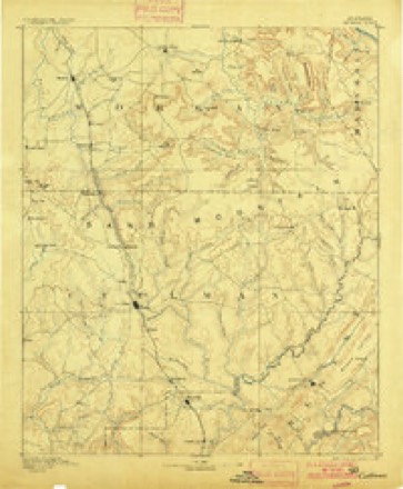
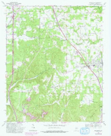
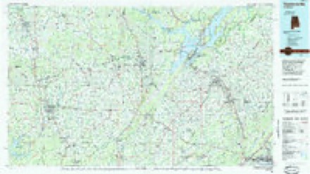
18 topographic sheets cover this place, the earliest surveyed in 1888 and the latest in 1984. It stands in the Cullman census division. It lies in ZIP code area 35077. The Survey maps it on the Hanceville quadrangle.
Topographic sheets covering this place
8 surveys from 18 printed sheetsMatched by testing this settlement's coordinate against the published boundary of every sheet in the United States Geological Survey's historical collection. Each opens the scanned sheet at the Survey.
- 1888 USGS Cullman quadrangle1:125000
- 1892 USGS Cullman quadrangle1:125000, 4 printings
- 1956 USGS Gadsden quadrangle1:250000, 3 printings
- 1958 USGS Gadsden quadrangle1:250000
- 1960 USGS Gadsden quadrangle1:250000, 2 printings
- 1963 USGS Gadsden quadrangle1:250000
- 1969 USGS Hanceville quadrangle1:24000, 4 printings
- 1984 USGS Guntersville quadrangle1:100000, 2 printings




Fires near this place
72 since 1994Regional context, not property-specific evidence. The federal wildfire occurrence database lists 72 fires within 5 miles of White City between 1994 and 2019, burning about 316 acres in total. None started naturally. 15 were recorded as arson. Distance is straight-line from the map coordinates, so a fire counted here may appear on a neighbouring settlement's page as well.
| Reported cause | Fires |
|---|---|
| Debris and open burning | 31 |
| Missing data/not specified/undetermined | 16 |
| Arson/incendiarism | 15 |
| Recreation and ceremony | 7 |
| Railroad operations and maintenance | 1 |
| Smoking | 1 |
| Misuse of fire by a minor | 1 |
The most recent of them, most recent first, with the day each was reported and the service that recorded it.
| Date | Cause | Size | Reported by | Name on the report |
|---|---|---|---|---|
| 8 September 2016 | Missing data/not specified/undetermined | 2.0 acres | Alabama Forestry Commission | 20160908-9 |
| 5 September 1995 | Recreation and ceremony | 3.2 acres | Alabama Forestry Commission | not named |
| 30 September 2010 | Missing data/not specified/undetermined | 5.0 acres | Alabama Forestry Commission | not named |
| 20 September 2011 | Missing data/not specified/undetermined | under an acre | Alabama Forestry Commission | 4121 CR 565, AL |
| 17 September 2000 | Debris and open burning | under an acre | Alabama Forestry Commission | not named |
| 14 September 2005 | Arson/incendiarism | under an acre | Alabama Forestry Commission | not named |
| 10 September 2002 | Debris and open burning | under an acre | Alabama Forestry Commission | not named |
| 3 August 2001 | Debris and open burning | under an acre | Alabama Forestry Commission | not named |
Settlements close enough to share some of these fires:
Storms near this place
5 since 2010Regional context, not property-specific evidence. The National Weather Service names White City in 5 storm reports between 2010 and 2023: 2 flash flood, 2 tornado, 1 thunderstorm wind. No death or injury is recorded in these reports. Each account below is quoted exactly as the forecast office filed it, from the NOAA Storm Events Database, and each date opens the federal record of that event.
| When | Event | Place named | Harm | What the report says |
|---|---|---|---|---|
| August 2023 | Thunderstorm Wind | White City | $1,000 | Trees were knocked down at 437 Day Gap Road. Time estimated by radar. |
| March 2019 | Tornado (EF1) | White City | - | The tornado touched down 0.2 miles southwest of White City, snapping and uprooting several hardwood trees. The tornado then damaged the White City Community Center, lifting up portions of the roof and peeling back sheets of the metal roof structure. A house next door to the community center sustained minor damage when trees fell around and partially onto the house. Some of these trees were more than 5 feet in diameter and were a combination of either snapped or uprooted. Across the street at this location, an outdoor storage shed was blown over. Damage in White City was consistent with an EF-1 tornado with maximum winds of 105 mph. Maximum width likely occurred here and was measured as 112 yards wide. |
| April 2014 | Tornado (EF3) | White City | - | A tornado first touched down in the Welti community along CR 636. Numerous hardwood trees were snapped and uprooted in this area. The tornado continued to move north with significant damage to a one story home along CR 601. Major roof uplift was noted to this home and a building under construction at the same site was completely destroyed and blown several hundred yards. A large travel trailer was also rolled. Damage at this location was deemed EF-2 in intensity. Further north along the road a large outbuilding was completely destroyed.||The tornado intensified as it moved northward crossing the Broglen River. Here the tornado widens to near 350 yards. Many hardwood trees were snapped and uprooted along the path. A chicken farm sustained damage along CR 732. Near this location along CR 736 a well constructed two story brick home sustained severe damage when the upstairs was completely wiped away and blown several hundred yards into a ravine. Large debris missiles were seen embedded in the surrounding fields. Several trees in this area were also severely mangled and partially debarked. Damage in this area was rated low end EF-3.||The tornado continued to track northward ripping the roof completely off a home at the intersection of CR 736 and 703. The tornado intensity oscillated as it tracked northward toward the Berlin community. Numerous wooden power poles were snapped along CR 703. Numerous trees were snapped or uprooted as it crossed Highway 278 with some trees sheared near the base.||A TVA substation suffered significant damage with large electrical lines damaged and poles snapped and destroyed. The survey team was not able to fully observe this damage due to security restrictions but online photos indicate that this particular damage is consistent with at least high end EF-2 or possibly EF-3 damage. A chicken farm sustained severe structural damage with one house completely wiped to the ground with the metal trusses severely mangled. 25,000 chickens were killed in this one location. A mobile home along CR 747 was completely destroyed with debris thrown over 50 yards. Additional tree damage was noted in this area. The tornado weakened quite rapidly after this point lifting just north of Hwy 69. |
| May 2010 | Flash Flood | White City | - | Portions of county roads 617 and 637 were washed away due to flash flooding. |
| January 2010 | Flash Flood | White City | - | Two to three inches of rainfall caused flash flooding west of Berlin and east of Bolte.|Roads impacted included: CR 616, Highway 31, and Highway 278. |
Nearest settlements
The eight closest, with where each one stands in the county. Distances are straight-line, computed from the Geographic Names Information System coordinates.
| Map | Place | Distance | Sheets |
|---|---|---|---|
| Johnsons Crossing | 1.2 miles | 18 | |
| Wesoda | 1.8 miles | 18 | |
| Hanceville | 2.3 miles | 18 | |
| Center Hill | 2.6 miles | 19 | |
| Steppville | 2.7 miles | 19 | |
| Phelan | 3.6 miles | 19 | |
| Welti | 3.7 miles | 17 | |
| Center Community | 4.2 miles | 18 |
Elsewhere
Matched on this settlement's Geographic Names Information System number rather than its name, so it cannot be a different place of the same name in another state.
| Wikipedia article on White City | An encyclopaedic summary. Its text is share-alike, so it is linked here rather than copied. |
| Wikidata item Q85815358 | The structured record the population and elevation above come from. Public domain (CC0). |
Provenance
This settlement is recorded in the Geographic Names Information System as feature 153959. The sheet list is computed by point-in-boundary test against the United States Geological Survey's historical topographic inventory. Both are works of the United States government and carry no copyright under 17 U.S.C. 105.
Wildfire. Short, Karen C. 2022. Spatial wildfire occurrence data for the United States, 1992-2020 [FPA_FOD_20221014]. 6th Edition. Fort Collins, CO: Forest Service Research Data Archive. https://doi.org/10.2737/RDS-2013-0009.6 Collected with United States Government funding and usable without additional permissions or fees.
Storms. NOAA National Centers for Environmental Information, Storm Events Database https://www.ncei.noaa.gov/stormevents/ A work of the United States government, no copyright under 17 U.S.C. 105. Narratives are quoted verbatim from the National Weather Service report and are not edited or summarised.