 Block
Winfield, Alabama
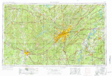
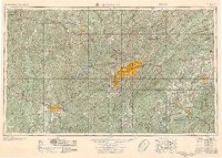
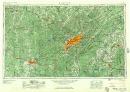
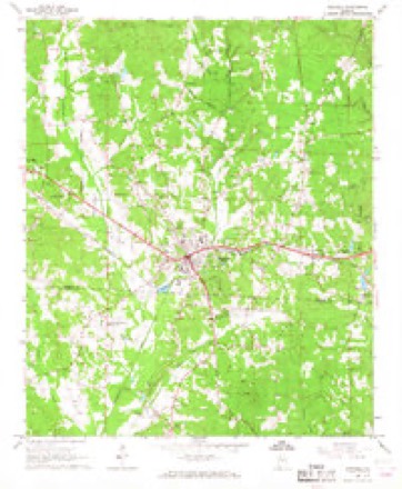
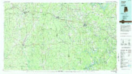
11 topographic sheets cover this place, the earliest surveyed in 1953 and the latest in 1984. It stands in the Winfield census division. It lies in ZIP code area 35594. It stands on East Branch Luxapallila Creek. The Survey maps it on the Winfield quadrangle.
Topographic sheets covering this place
5 surveys from 11 printed sheetsMatched by testing this settlement's coordinate against the published boundary of every sheet in the United States Geological Survey's historical collection. Each opens the scanned sheet at the Survey.
- 1953 USGS Birmingham quadrangle1:250000, 4 printings
- 1956 USGS Birmingham quadrangle1:250000
- 1957 USGS Birmingham quadrangle1:250000
- 1967 USGS Winfield quadrangle1:24000, 3 printings
- 1984 USGS Jasper quadrangle1:100000, 2 printings
Fires near this place
98 since 1994Regional context, not property-specific evidence. The federal wildfire occurrence database lists 98 fires within 5 miles of Winfield between 1994 and 2020, burning about 800 acres in total. None started naturally. 27 were recorded as arson. Distance is straight-line from the map coordinates, so a fire counted here may appear on a neighbouring settlement's page as well.
| Reported cause | Fires |
|---|---|
| Debris and open burning | 30 |
| Arson/incendiarism | 27 |
| Missing data/not specified/undetermined | 17 |
| Recreation and ceremony | 17 |
| Smoking | 2 |
| Railroad operations and maintenance | 2 |
| Equipment and vehicle use | 2 |
| Misuse of fire by a minor | 1 |
The most recent of them, most recent first, with the day each was reported and the service that recorded it.
| Date | Cause | Size | Reported by | Name on the report |
|---|---|---|---|---|
| 6 September 2007 | Arson/incendiarism | 1.0 acres | Alabama Forestry Commission | not named |
| 5 September 1995 | Railroad operations and maintenance | 5.0 acres | Alabama Forestry Commission | not named |
| 20 September 2019 | Debris and open burning | 1.5 acres | Alabama Forestry Commission | 20190920-9 |
| 19 September 1999 | Arson/incendiarism | 6.0 acres | Alabama Forestry Commission | not named |
| 15 September 2016 | Missing data/not specified/undetermined | under an acre | Alabama Forestry Commission | 20160915-6 |
| 15 September 2000 | Arson/incendiarism | 8.0 acres | Alabama Forestry Commission | not named |
| 14 September 1998 | Debris and open burning | under an acre | Alabama Forestry Commission | not named |
| 13 September 2003 | Debris and open burning | 20 acres | Alabama Forestry Commission | not named |
Settlements close enough to share some of these fires:
Mines and quarries near this place
7 within 5 milesRegional context, not property-specific evidence. The federal mineral resources record lists 7 workings within 5 miles of Winfield: 6 producers, 1 past producer. 6 still produce. What was taken out: Sand and Gravel, Construction. Distance is straight-line from the map coordinates, so a quarry counted here may appear on a neighbouring settlement's page as well.
| Where | Site | Commodity | Status | Recorded |
|---|---|---|---|---|
| Beasley Pit | Sand and Gravel, Construction | Producer | ||
| Beasly Pit | Sand and Gravel, Construction | Producer | ||
| Glen Allen Materials, Inc. Pit | Sand and Gravel, Construction | Producer | ||
| Glen Allen Materials,Inc. Pit | Sand and Gravel, Construction | Producer | ||
| Patton Pit | Sand and Gravel, Construction | Past Producer | ||
| Smith Pit | Sand and Gravel, Construction | Producer | ||
| Unnamed Quarry | Sand and Gravel, Construction | Producer | Quartz |
Storms near this place
44 since 1994Regional context, not property-specific evidence. The National Weather Service names Winfield in 44 storm reports between 1994 and 2026: 20 hail, 16 thunderstorm wind, 4 tornado, 2 flash flood. No death or injury is recorded in these reports. Each account below is quoted exactly as the forecast office filed it, from the NOAA Storm Events Database, and each date opens the federal record of that event.
| When | Event | Place named | Harm | What the report says |
|---|---|---|---|---|
| April 2010 | Tornado (EF0) | Winfield | $105,000 | The tornado touched down on US-43 just south of the Gu-Win community. From there it produced a sporadic damage path to the northeast for a little over 7 miles, crossing AL-253, CR-61, US-78, and AL-129, before lifting on the southwest side of Brilliant. Three homes took the brunt of the damage, all located southwest of Brilliant along County Road 47. One home had minor damage due to fallen trees. One of these trees uprooted and flipped a minivan upside down. The second home had minor roof damage and two outbuildings on the property that were destroyed. The third home incurred major structural damage when the windward side of the garage was blown in. There was also an outbuilding that flipped over at the third home location. In total, 40 to 60 hardwood trees were uprooted along the path. |
| May 2002 | Thunderstorm Wind | Winfield | $30,000 | Numerous trees and power lines were blown down in and around Winfield. A few of the trees landed on parked automobiles. |
| May 2010 | Hail | Winfield | $20,000 | Golf ball sized hail dented some parked cars, near Winfield. |
| May 1997 | Flash Flood | Winfield | $20,000 | no account filed |
| October 2009 | Thunderstorm Wind | Winfield | $10,000 | Thunderstorm winds caused damage described as significant to several buildings in downtown Winfield. |
| April 1998 | Hail | Winfield | $9,000 | Golf ball size hail was reported in Winfield. |
| September 2005 | Tornado (F1) | Winfield | $8,000 | National Weather Service meteorologists surveyed the damage across southern Marion County and determined the damage was the result of a tornado. The tornado touched down just north of the Fayette-Marion County line near the intersection of County Road 69 and County Road 27. The tornado traveled northward and crossed County Road 27 a few times. The tornado lifted just as it crossed US 43/78, approximately 3 miles northwest of Winfield. The damage was not initially reported to county officials or the National Weather Service. A technician working on the NOAA Weather Radio transmitter at Winfield noticed the damage while servicing the transmitter. Numerous trees were snapped off or blown down along the path of the tornado. The tornado produced only very light tree damage near the end of the path. This tornado was produced by an outer band of Hurricane Rita.Begin: 33.9205/87.8777 End: 33.9549/87.8655 |
| March 2006 | Thunderstorm Wind | Winfield | $5,000 | A few trees and power lines were blown down along US 43 in Winfield. |
| July 1998 | Thunderstorm Wind | Winfield | $5,000 | Numerous trees and power lines were down. |
| May 1997 | Hail | Winfield | $5,000 | Hail the size of quarters was reported in Winfield. |
| April 1994 | Thunderstorm Wind | Winfield | $5,000 | Several trees and power lines were downed in Winfield. A funnel cloud was reported near Winfield. |
| March 1997 | Hail | Winfield | $3,000 | no account filed |
| July 2006 | Thunderstorm Wind | Winfield | $2,000 | Trees and power lines were blown down. |
| March 2000 | Thunderstorm Wind | Winfield | $2,000 | Several trees and power lines were reported downed just south of Winfield. The trees blocked US 43 for a few hours. |
| April 2005 | Hail | Winfield | $1,000 | Penny size hail briefly fell across southern Marion County near Winfield. |
| June 2009 | Thunderstorm Wind | Winfield | $500 | A tree was blown down on Fairview Road, in Winfield. |
| March 2026 | Thunderstorm Wind | Winfield | - | Trees were downed in several locations around Winfield. |
| March 2025 | Hail | Winfield | - | Penny to nickel-size hail fell in Winfield, with hail covering the ground. |
| June 2025 | Thunderstorm Wind | Winfield | - | Trees were downed in the Winfield area. |
| June 2024 | Tornado (EF1) | Winfield | - | An EF1 tornado developed in Fayette County before moving into the Winfield area of Marion County. The tornado began to intensify as it approached US HWY 43 to the west of Winfield. Several trees were uprooted and snapped on Pike Road and Pleasant Drive, and a couple of the homes on these roads sustained minor shingle damage, although one tree did fall on a home. As the tornado crossed US HWY 43, it produced minor cosmetic damage to a few of the stores within the Foodland strip mall, and some of the glass doors were blown out. The highest degree of damage was first noted from Silverleaf Road to Rosewood Street where a large concentration of uprooted and snapped trees was observed. Fortunately, structural damage was quite limited in this area despite the amount of tree fall. Winds in this area were estimated up to 95 mph. The tornado continued northeast across State Highway 253 and County Highway 47 where the timber damage once again became more sporadic, consisting mostly of snapped branches and an occasional uprooted softwood. The tornado lifted in a wooded area shortly after crossing Riley Harp Road. The total path length of the tornado across both counties was 7.23 miles. |
| December 2024 | Thunderstorm Wind | Winfield | - | Several trees were downed between Winfield and Brilliant. A tree fell on a home in Brilliant. |
| June 2023 | Thunderstorm Wind | Winfield | - | Several trees uprooted and power lines downed in Winfield. Roof damage to a home due to an uprooted tree. |
| July 2022 | Thunderstorm Wind | Winfield | - | Several trees uprooted in the city of Winfield. |
| August 2019 | Thunderstorm Wind | Winfield | - | Several trees uprooted in the town of Winfield. |
| April 2019 | Thunderstorm Wind | Winfield | - | Several trees uprooted along Highway 253 in the town of Winfield. |
| March 2017 | Hail | Winfield | - | Quarter size hail in the town of Winfield. |
| July 2015 | Thunderstorm Wind | Winfield | - | Trees uprooted along County Road 4 in the town of Winfield. |
| April 2011 | Flash Flood | Winfield | - | Highway 118 in Winfield had 12 inches of water over it. |
| October 2008 | Tornado (EF0) | Winfield | - | A brief tornado touch down was captured on video by several people, near the intersection of CR-27 and CR-69, just west of Winfield. Subsequent inspection of the touch down area revealed no significant damage. |
| March 2005 | Hail | Winfield | - | Dime to nickel size hail was observed by a Sheriffs Deputy just east of Winfield. |
| September 2005 | Funnel Cloud | Winfield | - | A funnel cloud was reported near Winfield. |
| May 2003 | Hail | Winfield | - | Nickel size hail was observed by a Sheriff's Deputy near Winfield. |
| May 2003 | Hail | Winfield | - | Penny size hail fell around Winfield. |
| January 1999 | Hail | Winfield | - | Dime size hail was reported in the city of Winfield. |
| March 1995 | Hail | Winfield | - | Hail the size of dimes was reported in Winfield and just east of Winfield. |
| March 1995 | Hail | Winfield | - | Hail the size of dimes was reported in Winfield and just east of Winfield. |
| May 1994 | Hail | Winfield | - | Three-quarter inch hail was reported at Winfield by the Alabama State Troopers. |
| March 2012 | Hail | Winfield | - | no account filed |
| May 2010 | Hail | Winfield | - | no account filed |
| July 2009 | Hail | Winfield | - | no account filed |
| July 2009 | Hail | Winfield | - | no account filed |
| March 2007 | Hail | Winfield | - | no account filed |
| April 2006 | Funnel Cloud | Winfield | - | no account filed |
| April 2006 | Hail | Winfield | - | no account filed |
Nearest settlements
The eight closest, with where each one stands in the county. Distances are straight-line, computed from the Geographic Names Information System coordinates.
| Map | Place | Distance | Sheets |
|---|---|---|---|
| New Hope | 3.6 miles | 11 | |
| Tucker | 3.7 miles | 11 | |
| Gu-Win | 4.0 miles | 9 | |
| Glen Allen | 4.1 miles | 11 | |
| Yampertown | 5.7 miles | 11 | |
| Twin | 5.7 miles | 11 | |
| Guin | 5.8 miles | 9 | |
| Brookside | 6.3 miles | 12 |
Provenance
This settlement is recorded in the Geographic Names Information System as feature 154009. The sheet list is computed by point-in-boundary test against the United States Geological Survey's historical topographic inventory. Both are works of the United States government and carry no copyright under 17 U.S.C. 105.
Wildfire. Short, Karen C. 2022. Spatial wildfire occurrence data for the United States, 1992-2020 [FPA_FOD_20221014]. 6th Edition. Fort Collins, CO: Forest Service Research Data Archive. https://doi.org/10.2737/RDS-2013-0009.6 Collected with United States Government funding and usable without additional permissions or fees.
Mines and quarries. USGS Mineral Resources Data System (MRDS) https://mrdata.usgs.gov/mrds/ A work of the United States government, no copyright under 17 U.S.C. 105.
Storms. NOAA National Centers for Environmental Information, Storm Events Database https://www.ncei.noaa.gov/stormevents/ A work of the United States government, no copyright under 17 U.S.C. 105. Narratives are quoted verbatim from the National Weather Service report and are not edited or summarised.