 Block
From the record
2 National Register listings published here.
Sources: the National Register database, National Park Service
72 topographic sheets and 2 fire insurance atlases across 1 place.
2 National Register listings published here.
Sources: the National Register database, National Park Service
Taken for the Office of War Information and the Farm Security Administration, who photographed the country between 1935 and 1944. Works of United States government photographers, with no known restriction on use. Each opens its catalogue record.
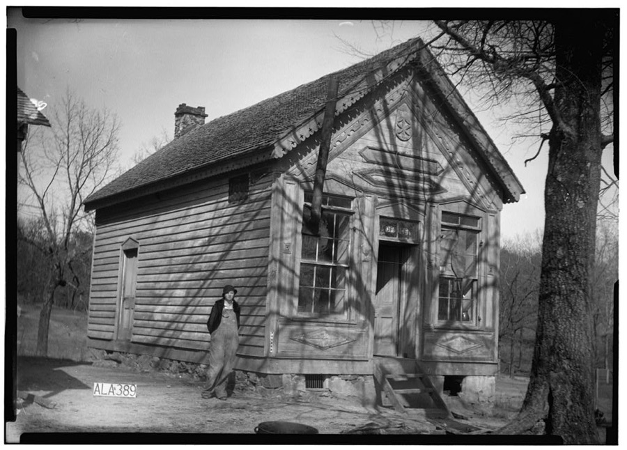
Every property in this county listed on the National Register of Historic Places, with the year it was listed and the federal nomination document.
| Photograph | Property | Type | Listed | Reference |
|---|---|---|---|---|
 | Ernest Baxter Fite House | building | 1997 | 94001545 |
| Pearce's Mill | district | 1976 | 76000343 |
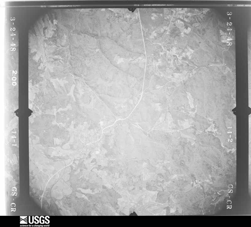
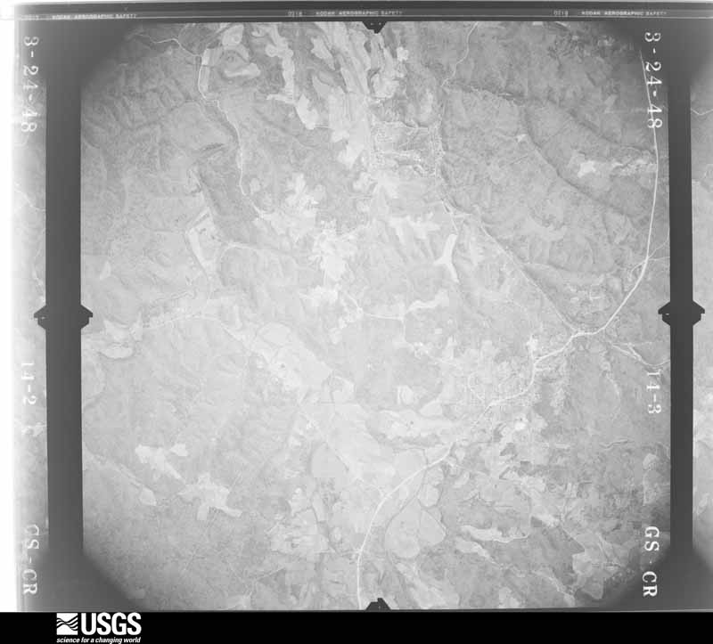
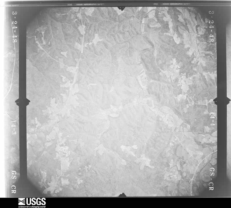
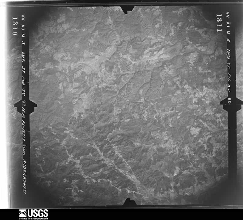
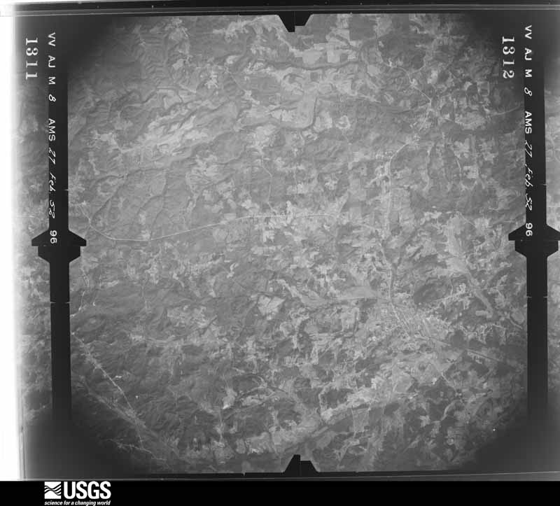
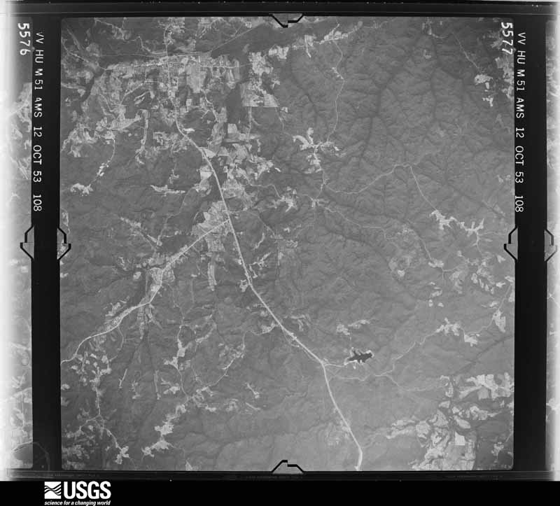
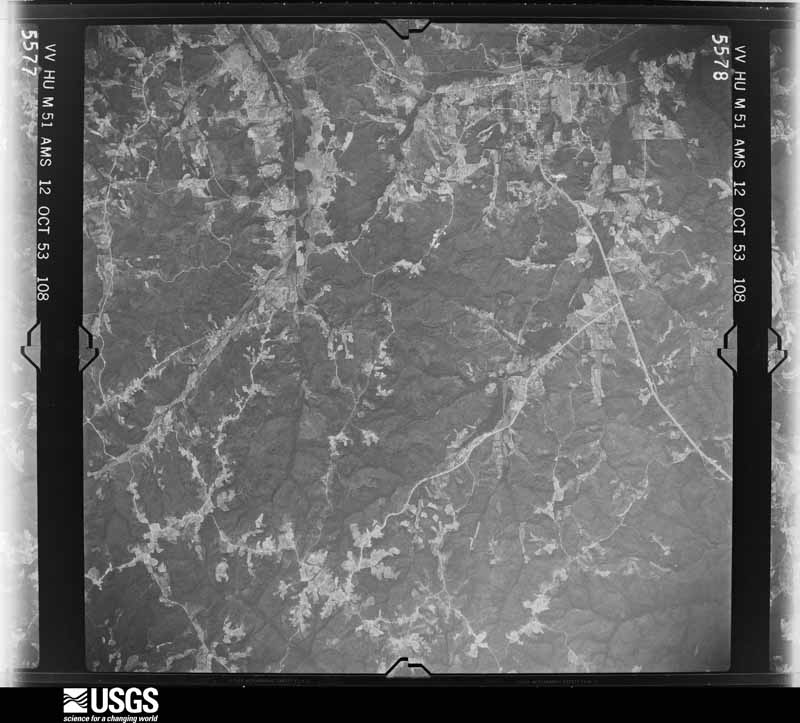
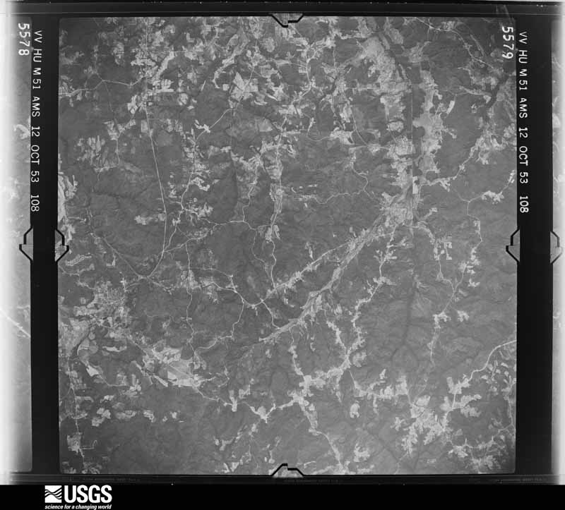
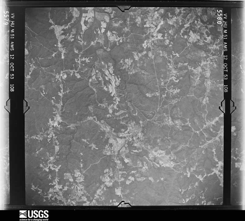
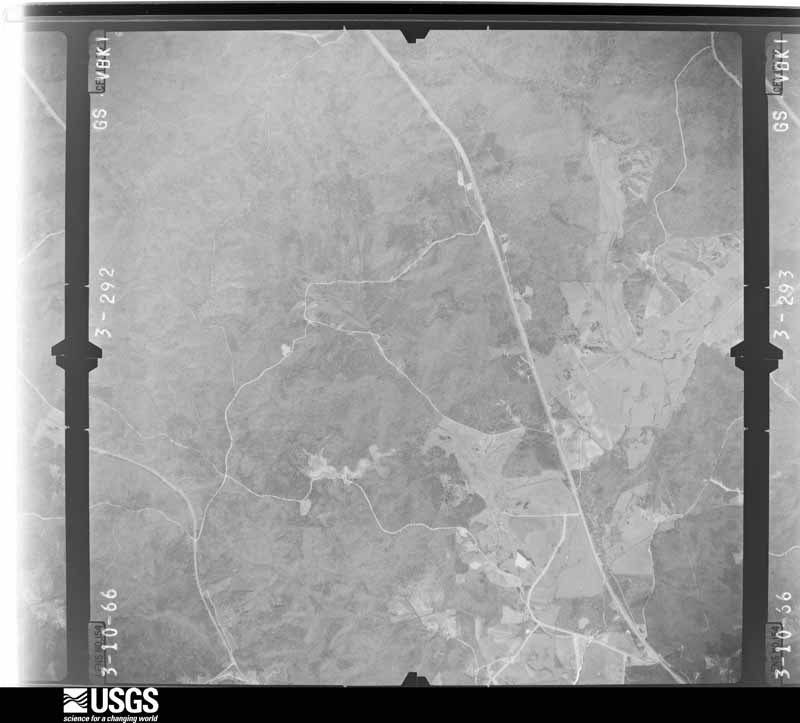
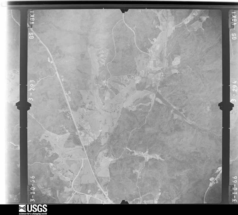
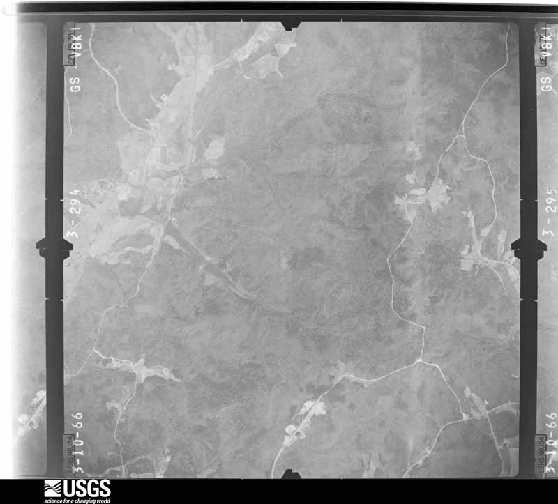
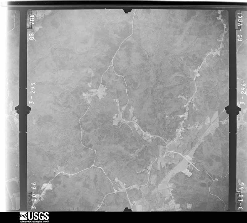
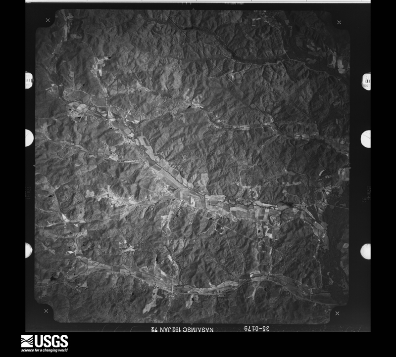
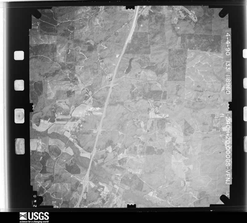
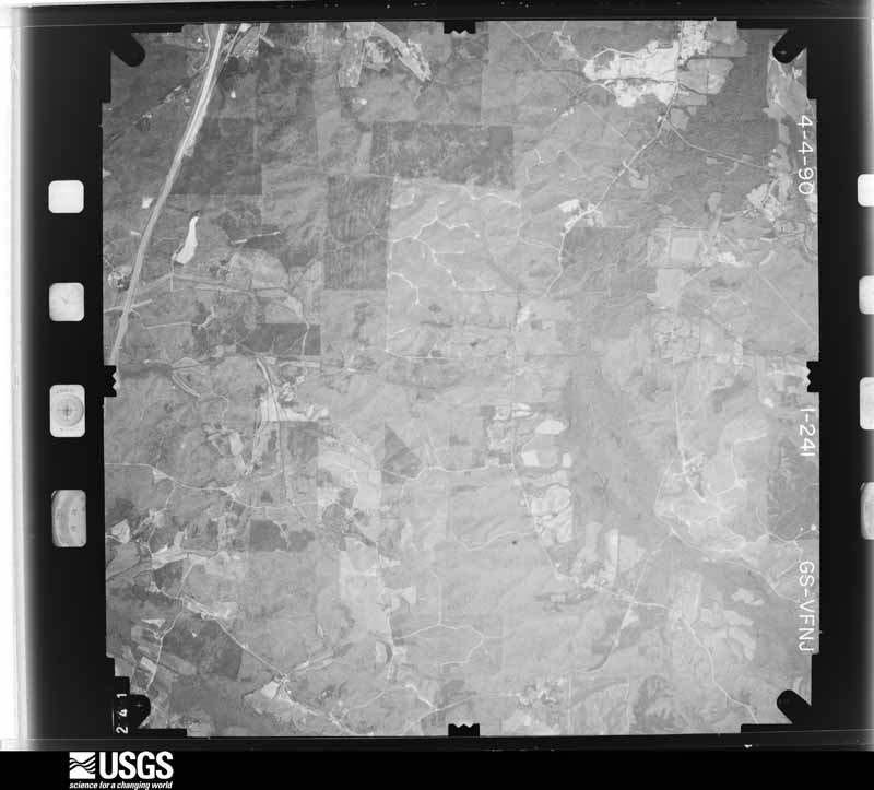
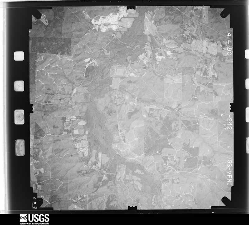
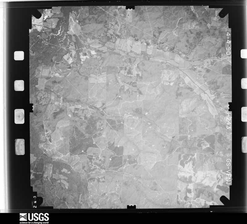
Flown by the U.S. Geological Survey between 1937 and 1989, the Aerial Photo Single Frames collection is the definitive mid-century view of the land: fields, roads and rivers as the camera saw them. The Survey holds 591 frames inside the rectangle that bounds this county; the 39 frames below were taken over the county itself, chosen across the decades of flights (at most four a year from that rectangle), so one flight cannot crowd out the rest. The full set is free to browse and download at EarthExplorer under the dataset Aerial Photo Single Frames.
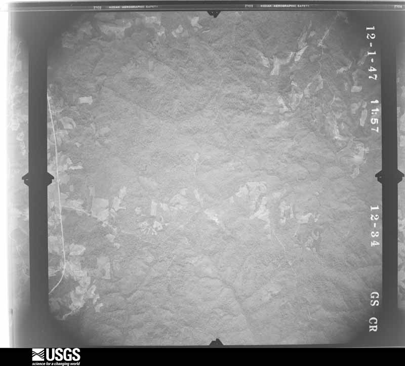
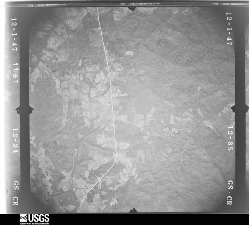
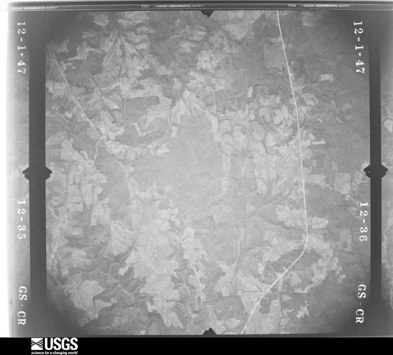


















The thermometers that kept this county's weather, and the gages that measured the flow of its streams, as the federal records hold them. The extremes below are measured values from those records, not estimates.
Who lived here in 1950, one enumeration district at a time, as the Census Bureau described each district. Each row opens its official National Archives result, with Population Schedules and ED Maps available there.
Every wildfire the federal occurrence database records inside this county: 1,240 of them, burning about 11,483 acres. 14 started naturally and 575 were recorded as arson. Each settlement page carries the fires within five miles of it.
| Reported cause | Fires |
|---|---|
| Arson/incendiarism | 575 |
| Debris and open burning | 330 |
| Missing data/not specified/undetermined | 171 |
| Equipment and vehicle use | 59 |
| Recreation and ceremony | 45 |
| Misuse of fire by a minor | 19 |
| Natural | 14 |
| Railroad operations and maintenance | 10 |
| Smoking | 8 |
| Other causes | 5 |
| Power generation/transmission/distribution | 4 |
The five largest, by the area the report gives. 6 of them were set deliberately.
| Date | Cause | Size | Reported by | Name on the report |
|---|---|---|---|---|
| 20 August 1999 | Arson/incendiarism | 425 acres | Alabama Forestry Commission | not named |
| 20 March 2010 | Debris and open burning | 282 acres | Alabama Forestry Commission | SHOTTSVILLE FIRE |
| 22 March 2011 | Missing data/not specified/undetermined | 182 acres | Alabama Forestry Commission | CO RD 6 OFF BENNIFIELD, AL |
| 4 November 2001 | Arson/incendiarism | 158 acres | Alabama Forestry Commission | not named |
| 16 June 2002 | Arson/incendiarism | 145 acres | Alabama Forestry Commission | not named |
| 12 April 2010 | Arson/incendiarism | 120 acres | Alabama Forestry Commission | GRADY COAL FIRE |
| 11 April 2002 | Arson/incendiarism | 120 acres | Alabama Forestry Commission | not named |
| 26 February 2000 | Arson/incendiarism | 100 acres | Alabama Forestry Commission | not named |
Every settlement page carries the fires within five miles of it - see the settlement index below.
The NOAA Storm Events Database holds 518 reports for this county, causing 51 deaths, 501 injuries and about $182,224,750 in recorded property damage. Each settlement page carries the reports that name it.
| Kind of event | Reports |
|---|---|
| Thunderstorm Wind | 272 |
| Hail | 152 |
| Tornado | 47 |
| Flash Flood | 29 |
| Funnel Cloud | 8 |
| Lightning | 5 |
| Heavy Rain | 3 |
| Flood | 2 |
The most serious of them, by death, then injury, then recorded damage. The accounts are quoted exactly as the forecast office filed them.
| When | Event | Place named | Harm | What the report says |
|---|---|---|---|---|
| April 1974 | Tornado (F5) | not stated | 23 killed, 250 hurt | no account filed |
| April 2011 | Tornado (EF5) | Barnesville | 18 killed, 100 hurt, $160,000,000 | A tornado initially touched down west of Hamilton in southwest Marion County and moved northeast where it caused devastating damage to the city of Hackleburg. The tornado continued into Franklin County and tracked through Lawrence, Morgan, Limestone, and Madison Counties in Alabama. The tornado continued into Lincoln County Tennessee and finally dissipated in Franklin County Tennessee (See Storm Data Huntsville). The average path width of the tornado while in Marion County was 0.5 mile (880 yds). The tornado touched down west of AL Hwy 19 near Sipsey Creek and moved northeast and crossed Corridor X/Future Interstate 22. Here it caused significant tree damage. The tornado strengthened north of Hamilton and caused roof damage to at least one home. The storm strengthened further as it approached US Hwy 43, southwest of Hackleburg, to a violent EF4 rating with winds estimated at 170 mph. The tornado tracked parallel to US Hwy 43 toward Hackleburg and strengthened more to an EF5 with winds up to 210 mph, as its path widened to 0.75 mile (1320 yds). Several subdivisions and businesses, Hackleburg High School, Middle School, and Elementary School, and the Wrangler Plant were destroyed. Vehicles were tossed up to 200 yards. One well built home with 4 brick sides was completely leveled and the debris from the home was tossed over 40 yards to the north. The tornado moved northeast of Hackleburg and continued to parallel US Hwy 43. It crossed into Franklin County just east of the highway. Along the damage path in Marion County, thousands of trees were downed, several hundred structures were damaged, and at least 100 of these structures were completely destroyed as many homes were leveled. Eighteen fatalities are attributed to this tornado in Marion County, as well as numerous injuries. |
| April 2011 | Tornado (EF3) | Bexar | 7 killed, 100 hurt, $11,200,000 | A long track violent tornado touched down in Monroe County (See Storm Data Memphis) Mississippi, southwest of Smithville where it caused damage associated with an EF5 rating. The tornado moved northeast through Itawamba County before it crossed into Marion County, Alabama at a point near CR 93, southwest of Bexar. The tornado weakened to an EF1 rating as it entered Alabama, with winds of 110 mph . As the tornado tracked south of Bexar, a few mobile homes and outbuildings were damaged and numerous trees were snapped off and uprooted. The tornado moved across Corridor X/Future Interstate 22, near CR 33. As the tornado approached AL Hwy 19, 4 miles east southeast of Shottsville, it strengthened to an EF3 rating with winds of 160 mph, and destroyed several homes. This resulted in 6 fatalities. The tornado continued northeastward where it destroyed several single family homes and mobile homes along CR 20 and AL Hwy 187, 9 miles north of Hamilton. As the tornado approached the Marion/Franklin County line, several more houses were damaged and at least one chicken house destroyed near AL Hwy 187. Along the Alabama portion of the tornado path, hundreds of trees were downed, and at least 25 homes, mobile homes, and outbuildings were damaged or destroyed. The average path width of the Alabama portion of the tornado path was 0.5 mile (880 yds). The tornado continued into Franklin County Alabama (See Storm Data Huntsville), dissipating near Old Line Rd. |
| June 2002 | Lightning | Hamilton | 3 killed, 4 hurt, $40,000 | Lightning was believed to be responsible for a fire in a mobile home in the Shiloh community between Hamilton and Hackleburg of SR 187. Three children were killed and two adults and two other children were injured in the fire. The State Fire Marshall said that preliminary investigation indicated the fire started in the general area of the living room around the television. A burn at the base of the utility box outside the home indicated that lightning could have been involved in starting the fire. Time of the event was estimated. |
| April 1963 | Tornado (F2) | not stated | 17 hurt, $250,000 | no account filed |
| February 1971 | Tornado (F3) | not stated | 12 hurt, $25,000 | no account filed |
| November 1973 | Tornado (F2) | not stated | 5 hurt, $250,000 | no account filed |
| March 1963 | Tornado (F2) | not stated | 4 hurt, $250,000 | no account filed |
| April 2009 | Thunderstorm Wind | Barnesville | 2 hurt, $200,000 | A large swath of damaging winds, with peak gusts estimated around 80 mph, swept across a large portion of Marion County, from near the Mississippi state line and Lamar County line, eastward to near the Winston County line. The heaviest damage was in a swath from near the Detroit community, to east of Hamilton. Hundreds of trees were either snapped off or uprooted. Several of the trees landed on both mobile homes and permanent site homes, as well as several vehicles. Two people in the Byrd community were injured when a tree fell on their mobile home. A restaurant near Guin had its windows blown out and its roof partially removed. A metal billboard structure was bent to the ground, and several other business signs were damaged by the wind. At least one small barn sustained major damage. |
| February 1953 | Tornado (F2) | not stated | 2 hurt, $25,000 | no account filed |
| May 1953 | Tornado (F1) | not stated | 2 hurt, $2,500 | no account filed |
| April 2023 | Tornado (EF1) | Hackleburg | 1 hurt | National Weather Service meteorologists surveyed damage in northern Marion County and determined that it was consistent with an EF1 tornado, with maximum winds near 110 mph. The tornado began on Marion County Road 348 west of Alabama Highway 253 south of Hackleburg, where minor tree damage was noted. The tornado rapidly increased and caused significant damage as it crossed Alabama Highway 253, uprooting several trees and causing superficial damage to a home on the edge of the track. The tornado continued east-northeastward along Union Hill Road, crossing the road twice before the intersection with Chalk Mine Road. Damage in this segment of the path consisted solely of pockets of tree damage which varied in intensity but was easily identified as tornado damage. As the tornado paralleled Chalk Mine Road, it produced more widespread tree damage, and destroyed a manufactured home. The damage to trees surrounding the manufactured home was minimal, which contributed to a below expected value or 100 mph assigned to the flipping and tossing of the manufactured home. The tornado continued across the Fairview community causing significant tree damage just east of County Road 12, with a grove of pine trees all being sheared off about 20 feet above ground level. The tornado then continued over inaccessible areas south of County Road 6 as it headed towards the Lumbull community, crossing Alabama Highway 241 just south of Lumbull. As it approached Bear Creek, it continued to cause sparse but notable tree damage. The most significant damage along the entire path occurred along Alabama Highway 13 south of Bear Creek, where a large metal building structure received significant damage to the windward side of the building. Winds in this area approached 110 mph, bringing this tornado to a high end EF1 rating. The tornado then crossed AL Hwy 13, where an individual received major injuries as the manufactured home being occupied was flipped upside-down. The tornado continued eastward, crossing Old Union Road, then paralleling County Line Church Road until the tornado passed into Winston County just north of Sherwood Place Drive. |
| July 2016 | Lightning | Thorn Hill | 1 hurt | One person was struck by lightning and transported to a local hospital. |
| March 2013 | Thunderstorm Wind | Hamilton | 1 hurt | Numerous trees were reported down in Hamilton, with some trees falling on homes and causing damage. One tree landed on a car, trapping and injuring the person inside. |
| April 2011 | Tornado (EF3) | Guin | $5,500,000 | A tornado initially touched down in southwest Marion County, near the community of Pikeville and tracked northeast. The tornado moved across southern portions of Haleyville and into Winston County, south of AL Route 129. The tornado lifted in the William B. Bankhead National Forest, north of Rabbittown. The tornado touched down along US Hwy 43, south of CR 2 where it downed hundreds of trees. The tornado moved northeast and crossed Corridor X/Future Interstate 22 east of CR 37. Here it caused tree damage consistent with an EF1 tornado and winds of 105 mph. The tornado strengthened north of Pea Ridge to an EF3 rating with winds of 150 mph. Along CR 45, west of AL Route 253, at least two mobile homes were completely destroyed and six well built homes sustained major damage or were completely destroyed. As the tornado approached US Hwy 278 near Whitehouse, several outbuildings were destroyed and a well built home was destroyed with the foundation swept clean. Several injuries were noted in this area. The tornado continued northeastward and caused mostly tree damage as it neared the Winston County line. |
| February 1995 | Tornado (F1) | Hamilton | $500,000 | A small tornado touched down about six miles east of Hamilton along U.S. Highway 278. The tornado travelled on a track just slightly north of east for about six miles running along and crossing U.S. Highway 278 twice. According to Emergency Management officials, five homes were damaged, three severely, and six chicken houses were destroyed. |
| February 2001 | Thunderstorm Wind | Countywide | $250,000 | Dime to quarter size hail was reported across Marion County with a line of thunderstorms that moved through. The hail completely covered the ground in many locations. These severe thunderstorms produced significant wind damage mainly across the southern part of the county near Guin, Winfield, and Hamilton. Wind speeds were estimated between 60 and 80 miles an hour. Numerous trees and power lines were snapped off or blown over in this area and many roads became impassible. Numerous homes and businesses received moderate to major damage which ranged from broken windows to partial roof removal. Several automobiles were damaged by falling trees. No injuries were reported. |
| February 1989 | Tornado (F2) | not stated | $250,000 | no account filed |
| March 1986 | Tornado (F3) | not stated | $250,000 | no account filed |
| April 1982 | Tornado (F3) | not stated | $250,000 | no account filed |
| March 1962 | Tornado (F1) | not stated | $250,000 | no account filed |
| April 1957 | Tornado (F3) | not stated | $250,000 | no account filed |
| April 2010 | Tornado (EF0) | Winfield | $105,000 | The tornado touched down on US-43 just south of the Gu-Win community. From there it produced a sporadic damage path to the northeast for a little over 7 miles, crossing AL-253, CR-61, US-78, and AL-129, before lifting on the southwest side of Brilliant. Three homes took the brunt of the damage, all located southwest of Brilliant along County Road 47. One home had minor damage due to fallen trees. One of these trees uprooted and flipped a minivan upside down. The second home had minor roof damage and two outbuildings on the property that were destroyed. The third home incurred major structural damage when the windward side of the garage was blown in. There was also an outbuilding that flipped over at the third home location. In total, 40 to 60 hardwood trees were uprooted along the path. |
| April 2011 | Thunderstorm Wind | Hackleburg | $100,000 | Trees and power lines were blown down across a broad swath in the Hackleburg area, from US-43 on the south side of town, eastward to Boyd Street. Downed trees blocked the road and damaged several structures between AL-172 and CR-12, and near Alabama Street. Sheds and poultry houses were damaged near AL-172 and Boyd Street. A mobile home on the edge of town was flipped over. |
| May 2008 | Tornado (EF1) | Shottsville | $100,000 | The tornado spun up very quickly about 2.5 miles southwest of the Shottsville Community along County Road 13, between Reedy Branch Road and CR-154. The tornado then tracked just south of due east for almost the entire length of Marion County, with a slight left turn noted near the middle of the path. The tornado crossed CR-11, SR-19, SR-187, US-43, and SR-253, before lifting along CR-34. The tornado remained mostly in a heavily forested area, and thousands of trees were either snapped off or uprooted. Several mobile homes and one carport sustained varying degrees of damage along the path. |
| November 2004 | Tornado (F1) | Hamilton | $100,000 | no account filed |
| May 1995 | Thunderstorm Wind | Mainly North | $95,000 | Storm thunderstorm wind downded trees in scattered areas across the county. The emergency Medical Association director's barn was de-roofed by the wind. Most of the damage occurred across the northern portion of the county. |
| November 2001 | Tornado (F2) | Whitehouse | $85,000 | no account filed |
| February 2011 | Tornado (EF0) | Wiginton | $75,000 | A tornado touched down briefly just to the northwest of Hackleburg, doing extensive damage to numerous chicken houses, sheds and outbuildings in the area by removing pieces of tin roofing and peeling off metal siding. In a few cases, the roof was completely removed. One chicken house was completely destroyed. Many trees were knocked down, with several damaging homes. The outdoor recreation facility suffered minor roof damage and a couple light poles were knocked down. The tornado also knocked down a TV tower. |
| October 2009 | Tornado (EF1) | Thorn Hill | $75,000 | The tornado touched down just south of the intersection of CR-19 and AL-129, near the community of Thorn Hill. From there, it traveled northeast a little over two miles, over mostly wooded terrain, and lifted as it crossed AL-129. Along the path, the tornado damaged the roofs of 4 homes, damaged 2 barns and one utility building, uprooted 20 hardwood trees, and snapped another 5 in half, and damaged several cars. |
| January 2007 | Thunderstorm Wind | Hamilton | $60,000 | An unsecured mobile home at a mobile home manufacturing plant was shifted into another, near Highway 43. An old garage in the same area was destroyed when wind got into the building, causing it to collapse. A couple of nearby homes sustained minor shingle damage. |
| March 2006 | Thunderstorm Wind | Countywide | $60,000 | Hundreds of trees were either blown down, snapped off or were uprooted. Several power lines were also blown down. One mobile home was damaged in Guin, and the roof of a furniture store was partially removed in Winfield. Small hail collected several inches deep in places. Wind gusts were estimated between 65 and 75 miles an hour. |
| January 2005 | Thunderstorm Wind | Countywide | $60,000 | A line of thunderstorms pushed across Marion County and produced wind damage throughout the county. Several trees were blown down and at least one home sustained significant roof damage near Guin. Several trees and power lines were blown down near Shottsville. Several reports of a funnel clouds were received from the northwest part of the county. Other locations reporting wind damage include Brilliant and Twin. |
| April 1998 | Hail | Hackleburg | $55,000 | Baseball size hail was reported west of Bear Creek. Numerous cars were damaged. |
| April 2011 | Thunderstorm Wind | Bear Creek | $50,000 | Numerous trees were blown down. Several roofs received damage from fallen trees. |
| December 2009 | Flash Flood | Bexar | $50,000 | Numerous county, state, and US highways became flooded across Marion County, including CR-61, US-43, CR-11, US-78, and CR-52. Taylor Road in the city of Guin, and Providence Street in the city of Winfield, were also flooded. |
| April 2006 | Tornado (F1) | Hamilton | $50,000 | The tornado touched down just north of the intersection of US Highway 78 and State Highway 74. It then moved northeastward and dissipated just east of the intersection of County Road 41 and County Road 473. Numerous trees were either snapped off aloft or were blown down. Multiple telephone poles were blown down. The top of a barn was completely torn off. Several homes received roof damage, ranging from missing shingles to portions of roofs being lifted off. One automobile was totally destroyed due to fallen trees. One woman was killed (indirect) when she drove into an already downed tree along State Highway 187. One person suffered minor injuries (indirect) due to a fallen tree. New Hope Church had its porch destroyed and suffered minor damage to other portions of the building. |
| May 2006 | Thunderstorm Wind | Countywide | $50,000 | There were at least 200 reports of wind damage across the county, mainly downed trees. |
| March 1994 | Thunderstorm Wind | not stated | $50,000 | About two miles north of Winfield near County 63 and 129, two mobile homes were destroyed and a third was turned over. Trees and power lines were down in the area including major damage to a house six miles north of Winfield when trees fell on it. |
| June 1998 | Thunderstorm Wind | Countywide | $45,000 | Numerous trees and power lines were down across the county. Some trees were down on homes and cars. In Hamilton, along US 43, several trees fell, including two on cars |
| April 1996 | Thunderstorm Wind | Hamilton | $40,000 | no account filed |
| April 1996 | Thunderstorm Wind | Hamilton | $40,000 | no account filed |
| January 1998 | Flash Flood | Countywide | $35,000 | no account filed |
| May 2002 | Thunderstorm Wind | Winfield | $30,000 | Numerous trees and power lines were blown down in and around Winfield. A few of the trees landed on parked automobiles. |
| September 2000 | Thunderstorm Wind | Hamilton | $30,000 | An old shop building and a wooden shed were totally destroyed in the Barnesville Community. Several homes sustained roof damage and many awnings were blown away. Several trees were also knocked down in the area. |
| April 1998 | Thunderstorm Wind | Hamilton | $30,000 | Wind damage was reported along SR 241, in the eastern part of the county. |
| May 2002 | Flash Flood | Countywide | $25,000 | Several periods of heavy rain fell across Marion County. Rainfall estimates varied from 3 to 7 inches for the two day period. Several local creeks and streams were above bankfull and many roads were temporarily flooded. |
| May 2002 | Flash Flood | Countywide | $25,000 | Radar estimated and cooperative observers reported rainfall of 2 to 4 inches in a short period of time. This heavy rainfall caused several roads to become temporarily impassable. A few roads were even washed out near Hackelburg. |
| March 1986 | Tornado (F2) | not stated | $25,000 | no account filed |
| March 1986 | Tornado (F1) | not stated | $25,000 | no account filed |
| May 2010 | Hail | Winfield | $20,000 | Golf ball sized hail dented some parked cars, near Winfield. |
| February 2008 | Tornado (EF0) | Guin | $20,000 | The tornado that touched down in Lamar County moved into southern Marion County, near CR-16 northwest of Guin. It continued to move northeastward for about another mile and a half, and lifted just before it reached US-43 north of Guin. In Marion County, the tornado blew down several trees, at least one of which landed on and destroyed a barn. |
| June 2003 | Thunderstorm Wind | Countywide | $20,000 | Numerous trees were blown down throughout Marion County. Several of the trees temporarily blocked roadways. Cities that reported damage include Guin, Hamilton, Winfield, Brilliant, and Sunny Home. |
| June 1998 | Thunderstorm Wind | Whitehouse | $20,000 | Numerous trees were down northeast of Whitehouse. |
| May 1997 | Flash Flood | Winfield | $20,000 | no account filed |
| May 1996 | Hail | Hackleburg | $20,000 | no account filed |
| April 2014 | Tornado (EF0) | Pleasant Ridge | $15,000 | A tornado touched down near the intersection of County Road 75 and Bishop Road, in a rural area northwest of the city of Hamilton. It tracked northeastward through a largely rural area in central Marion County between the cities of Hamilton and Hackleburg. The tornado caused mostly tree damage as it crossed County Road 29, Highway 187, County Road 41, and Highway 43. One building on County Road 29, where winds were strongest at 85 mph, had some shingles blow off, a shed was destroyed, and a dozen trees were downed. The tornado lifted along Highway 43 near Traverse Station Road southwest of Hackleburg city limits. |
| February 2011 | Thunderstorm Wind | Shottsville | $15,000 | Two homes near County Road 19 suffered roof damage. |
| April 2011 | Thunderstorm Wind | Shottsville | $15,000 | Trees were knocked down across the county as a squall line moved through the area. |
| July 2010 | Thunderstorm Wind | Hackleburg | $15,000 | One tree blown onto a home along highway 253. |
The Survey's mineral resources record lists 19 workings inside this county. 16 still produce and 3 are closed or unrecorded. Each settlement page carries the workings within five miles of it.
| Commodity | Workings |
|---|---|
| Sand and Gravel, Construction | 16 |
| Clay | 2 |
| Kaolin | 1 |
The least common of them first, because a county's hundredth gravel pit says nothing its first ten did not.
| Where | Site | Commodity | Status | Recorded |
|---|---|---|---|---|
| Hackleburg Kaolin Ala. | Kaolin | Past Producer | Sedimentary | |
| Chalk Bluff Mine | Clay | Producer | ||
| Hackleburg Pits | Clay | Producer | ||
| Beasly Pit | Sand and Gravel, Construction | Producer | ||
| Gann Pit | Sand and Gravel, Construction | Past Producer | ||
| Glen Allen Materials, Inc. Pit | Sand and Gravel, Construction | Producer | ||
| Glen Allen Materials, Inc. Pit | Sand and Gravel, Construction | Producer | ||
| Glen Allen Materials,Inc. Pit | Sand and Gravel, Construction | Producer | ||
| Hamilton Pit | Sand and Gravel, Construction | Producer | Quartz | |
| Hamilton Pit | Sand and Gravel, Construction | Producer | ||
| Hargett Pit | Sand and Gravel, Construction | Producer | ||
| Patton Pit | Sand and Gravel, Construction | Past Producer | ||
| Robinson Mine & Mill | Sand and Gravel, Construction | Producer | ||
| Robison Mine and Mill | Sand and Gravel, Construction | Producer | Quartz | |
| Tenn. River Plant | Sand and Gravel, Construction | Plant | ||
| Unnamed Quarry | Sand and Gravel, Construction | Producer | Quartz | |
| Unnamed Quarry | Sand and Gravel, Construction | Producer | Quartz | |
| Unnamed Quarry | Sand and Gravel, Construction | Producer | Quartz | |
| Unnamed Quarry | Sand and Gravel, Construction | Producer | Quartz |
Named settlements recorded in the Geographic Names Information System, each with the topographic sheets covering it. Villages, hamlets and abandoned places alike. Each is shown with the nearest named watercourse or landform and the survey quadrangle it falls on. The 1 place that was also surveyed for fire insurance comes first, with the number of atlases and photographs held for them.
Winfield census division · 35594 · On East Branch Luxapallila Creek · Winfield quadrangle
11 sheets, 1953 to 1984
Fire insurance: 2 atlases
Bear Creek census division · On Mill Creek · Phil Campbell quadrangle
14 sheets, 1936 to 1980
Hamilton census division · 35570 · On Watts Creek · Weston quadrangle
9 sheets, 1956 to 1984
Bear Creek census division · 35543 · On Austin Branch · Phil Campbell quadrangle
14 sheets, 1936 to 1980
Brilliant census division · 35548 · On Bostick Creek · Brilliant quadrangle
11 sheets, 1956 to 1980
Hamilton census division · 35570 · On Cook Branch · Hamilton NE quadrangle
11 sheets, 1936 to 1980
Hamilton census division · 35552 · On Factory Creek · Detroit quadrangle
10 sheets, 1956 to 1984
Hackleburg census division · 35564 · On King Branch · Hackleburg quadrangle
14 sheets, 1936 to 1980
Hamilton census division · 35570 · On Clark Creek · Henson Springs quadrangle
8 sheets, 1956 to 1984
Bear Creek census division · 35543 · Near Ikes Knob · Haleyville West quadrangle
12 sheets, 1936 to 1980
Brilliant census division · 35548 · On Bostick Creek · Gold Mine quadrangle
12 sheets, 1956 to 1980
Hackleburg census division · 35564 · On Mixon Springs Branch · Hackleburg quadrangle
14 sheets, 1936 to 1980
Hamilton census division · 35570 · On Ragsdale Creek · Hamilton quadrangle
10 sheets, 1956 to 1980
Bear Creek census division · 35543 · On Shirley Branch · Phil Campbell quadrangle
14 sheets, 1936 to 1980
Winfield census division · 35563 · On Dickenson Creek · Winfield quadrangle
11 sheets, 1953 to 1984
Hamilton census division · 35570 · On Pearces Mill Creek · Brilliant quadrangle
11 sheets, 1956 to 1980
Hamilton census division · 35570 · On Stevens Creek · Hamilton quadrangle
10 sheets, 1956 to 1980
Bexar census division · 35593 · On Little Creek · Shottsville quadrangle
8 sheets, 1956 to 1984
Bear Creek census division · 35565 · Haleyville West quadrangle
12 sheets, 1936 to 1980
Guin census division · 35563 · On Flurry Branch · Hamilton SW quadrangle
10 sheets, 1956 to 1980
Hackleburg census division · 35564 · On King Branch · Hackleburg quadrangle
14 sheets, 1936 to 1980
Winfield census division · 35554 · On Mallards Creek · Glen Allen quadrangle
11 sheets, 1953 to 1984
Bear Creek census division · 35565 · On Craft Pour-Off · Haleyville West quadrangle
12 sheets, 1936 to 1980
Brilliant census division · 35594 · On Dogwood Branch · Winfield quadrangle
11 sheets, 1953 to 1984
Bear Creek census division · 35565 · On Hobson Creek · Gold Mine quadrangle
12 sheets, 1956 to 1980
Hackleburg census division · 35564 · On Miller Branch · Hodges quadrangle
12 sheets, 1936 to 1998
Guin census division · 35563 · On Cooper Creek · Brilliant quadrangle
11 sheets, 1956 to 1980
11 topographic sheets and 2 fire insurance atlases, 1942
The complete index, with nothing left out. Each of these is a separate record with its own page: a federal survey report, or the case file that argued a property on to the National Register. Both are public domain and reproduced word for word.