 Block
Woodlawn, Alabama
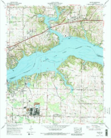
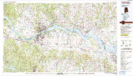
18 topographic sheets cover this place, the earliest surveyed in 1914 and the latest in 1986. It stands in the Florence census division. It lies in ZIP code area 35634. It lies near Five Acre Island (historical). The Survey maps it on the Killen quadrangle.
Topographic sheets covering this place
10 surveys from 18 printed sheetsMatched by testing this settlement's coordinate against the published boundary of every sheet in the United States Geological Survey's historical collection. Each opens the scanned sheet at the Survey.
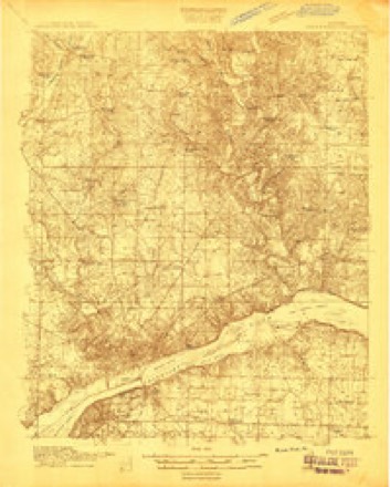
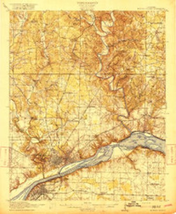
- 1914 USGS Muscle Shoals quadrangle1:48000
- 1916 USGS Muscle Shoals quadrangle1:62500, 2 printings
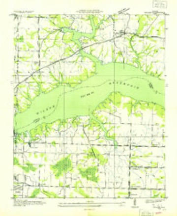
- 1936 USGS Killen quadrangle1:24000
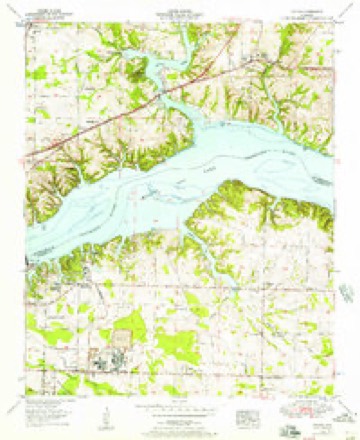
- 1953 USGS Killen quadrangle1:24000
- 1956 USGS Gadsden quadrangle1:250000, 3 printings
- 1958 USGS Gadsden quadrangle1:250000
- 1960 USGS Gadsden quadrangle1:250000, 2 printings
- 1963 USGS Gadsden quadrangle1:250000
- 1971 USGS Killen quadrangle1:24000, 3 printings
- 1986 USGS Tuscumbia quadrangle1:100000, 3 printings




Fires near this place
126 since 1994Regional context, not property-specific evidence. The federal wildfire occurrence database lists 126 fires within 5 miles of Woodlawn between 1994 and 2020, burning about 429 acres in total. 1 started naturally. 37 were recorded as arson. Distance is straight-line from the map coordinates, so a fire counted here may appear on a neighbouring settlement's page as well.
| Reported cause | Fires |
|---|---|
| Debris and open burning | 50 |
| Arson/incendiarism | 37 |
| Recreation and ceremony | 11 |
| Misuse of fire by a minor | 7 |
| Smoking | 7 |
| Equipment and vehicle use | 5 |
| Missing data/not specified/undetermined | 5 |
| Railroad operations and maintenance | 3 |
| Natural | 1 |
The most recent of them, most recent first, with the day each was reported and the service that recorded it.
| Date | Cause | Size | Reported by | Name on the report |
|---|---|---|---|---|
| 29 September 2019 | Arson/incendiarism | under an acre | Alabama Forestry Commission | 20190929-11 |
| 25 September 1999 | Arson/incendiarism | under an acre | Alabama Forestry Commission | not named |
| 21 September 2000 | Natural | under an acre | Alabama Forestry Commission | not named |
| 2 September 2011 | Debris and open burning | 1.0 acres | Alabama Forestry Commission | 673 CR 72, AL |
| 16 September 1999 | Recreation and ceremony | under an acre | Alabama Forestry Commission | not named |
| 13 September 2010 | Debris and open burning | 7.0 acres | Alabama Forestry Commission | not named |
| 12 September 2002 | Equipment and vehicle use | 2.0 acres | Alabama Forestry Commission | not named |
| 10 September 1999 | Smoking | under an acre | Alabama Forestry Commission | not named |
Settlements close enough to share some of these fires:
Storms near this place
24 since 2011Regional context, not property-specific evidence. The National Weather Service names Woodlawn in 24 storm reports between 2011 and 2025: 21 thunderstorm wind, 1 lightning, 1 tornado, 1 hail. No death or injury is recorded in these reports. Each account below is quoted exactly as the forecast office filed it, from the NOAA Storm Events Database, and each date opens the federal record of that event.
| When | Event | Place named | Harm | What the report says |
|---|---|---|---|---|
| February 2025 | Thunderstorm Wind | Woodlawn | $5,000 | A tree was knocked down on a residence at 104 Mimosa Cove in Killen. Time estimated by radar. |
| February 2025 | Thunderstorm Wind | Woodlawn | $5,000 | A tree was knocked down on a house along Williams Avenue. |
| April 2011 | Lightning | Woodlawn | $5,000 | Lightning struck a home sparking a fire. Details unknown. |
| May 2011 | Thunderstorm Wind | Woodlawn | $5,000 | The top of a large hardwood tree was broken off at a residence on Coves Court. This tree missed the house, but took down the powerline nearby. Widespread power outages in the neighborhood of this home. |
| April 2025 | Thunderstorm Wind | Woodlawn | $3,000 | Trees were knocked down blocking both lanes of the roadway at CR 27 at Florence Blvd. |
| December 2025 | Thunderstorm Wind | Woodlawn | $3,000 | Trees were reported down along CR 27. |
| February 2025 | Thunderstorm Wind | Woodlawn | $2,000 | Trees and power lines were knocked down in a backyard along Dowdy Drive. |
| February 2025 | Thunderstorm Wind | Woodlawn | $2,000 | A tree was knocked down onto a house along Mimosa Cove. |
| June 2013 | Thunderstorm Wind | Woodlawn | $2,000 | Several trees were knocked down along Dowdy Drive in Florence. |
| April 2024 | Thunderstorm Wind | Woodlawn | $1,000 | A tree was knocked down and blocking the road at the intersection of Dr. Kennedy Drive and Perritt Cove Road. Time estimated by radar and nearby observation. |
| April 2024 | Thunderstorm Wind | Woodlawn | $1,000 | A tree was knocked down at the intersection of Dr. Kennedy Drive and Elm Cove Road. Time estimated by radar and nearby observation. |
| June 2017 | Thunderstorm Wind | Woodlawn | $500 | A power line was knocked down at CR 323 at Florence Blvd. |
| May 2021 | Thunderstorm Wind | Woodlawn | $200 | A tree was knocked down at 7213 Parkwood Street. |
| May 2021 | Thunderstorm Wind | Woodlawn | $200 | A power line was knocked down at the intersection of Florence Blvd. and Huntsville Road. |
| May 2021 | Thunderstorm Wind | Woodlawn | $200 | A power line was knocked down at the intersection of Ridgecliff and Sky Park in Florence. |
| March 2020 | Thunderstorm Wind | Woodlawn | $200 | A tree was knocked down across the road on Bennett Way. Time estimated by radar. |
| April 2020 | Thunderstorm Wind | Woodlawn | $200 | A tree was knocked down at 501 Spring Wood Court. |
| July 2020 | Thunderstorm Wind | Woodlawn | $200 | A tree was knocked down on Myrtle Drive. Time estimated by radar. |
| April 2019 | Thunderstorm Wind | Woodlawn | $200 | A tree was knocked down at Huntsville Road near Huntsville Boulevard. |
| December 2019 | Thunderstorm Wind | Woodlawn | $200 | A tree was knocked down on Hickory Cove Road near Taylor Drive. |
| June 2017 | Thunderstorm Wind | Woodlawn | $200 | A tree was knocked down on Indian Springs Drive. |
| February 2025 | Tornado (EF1) | Woodlawn | - | The tornado initially touched down in the vicinity of Myrtle Road in the Kendale Gardens subdivision where it produced the only structural damage observed by the survey team. This |structural damage was due to a large, uprooted hardwood tree falling into the front portion of a residence. The tornado then traveled eastward, crossing the mouth of Shoal Creek and far |northern extent of Wilson Lake before moving back onshore and producing tree damage along the southern portion of Lingerlost Road. Afterwards, the tornado moved generally eastward across |rural portions of southern Lauderdale County, north of Wilson Lake and south of U.S. Highway 72, producing clusters of tree damage on CR 31 and in the general vicinity of the intersection of Lauderdale CR 33 and Walnut Creek Road. From this point, the tornado headed east-northeastward, crossing Bluewater Creek and producing sporadic tree damage in Elgin and along the western shore of Second Creek. The tornado lifted along Lauderdale CR 53 north of Thorntontown, where tree damage was also observed. |
| May 2025 | Hail | Woodlawn | - | Hail up to 3/4 inch in diameter was reported via mPING. |
| August 2019 | Thunderstorm Wind | Woodlawn | - | Trees and power lines were knocked down along CR 323 just off U.S. Highway 72. |
Nearest settlements
The eight closest, with where each one stands in the county. Distances are straight-line, computed from the Geographic Names Information System coordinates.
| Map | Place | Distance | Sheets |
|---|---|---|---|
| Elm Acres | 0.2 miles | 18 | |
| Village Pines | 0.4 miles | 18 | |
| Rivermont | 0.4 miles | 18 | |
| Indian Springs | 0.8 miles | 18 | |
| Morningside Heights | 0.8 miles | 18 | |
| Wilson Heights | 0.8 miles | 18 | |
| Bellemeade | 0.8 miles | 18 | |
| Evergreen Estates | 1.1 miles | 18 |
Provenance
This settlement is recorded in the Geographic Names Information System as feature 142073. The sheet list is computed by point-in-boundary test against the United States Geological Survey's historical topographic inventory. Both are works of the United States government and carry no copyright under 17 U.S.C. 105.
Wildfire. Short, Karen C. 2022. Spatial wildfire occurrence data for the United States, 1992-2020 [FPA_FOD_20221014]. 6th Edition. Fort Collins, CO: Forest Service Research Data Archive. https://doi.org/10.2737/RDS-2013-0009.6 Collected with United States Government funding and usable without additional permissions or fees.
Storms. NOAA National Centers for Environmental Information, Storm Events Database https://www.ncei.noaa.gov/stormevents/ A work of the United States government, no copyright under 17 U.S.C. 105. Narratives are quoted verbatim from the National Weather Service report and are not edited or summarised.