| June 1996 | Lightning | Enterprise | 1 killed, 2 hurt | no account filed |
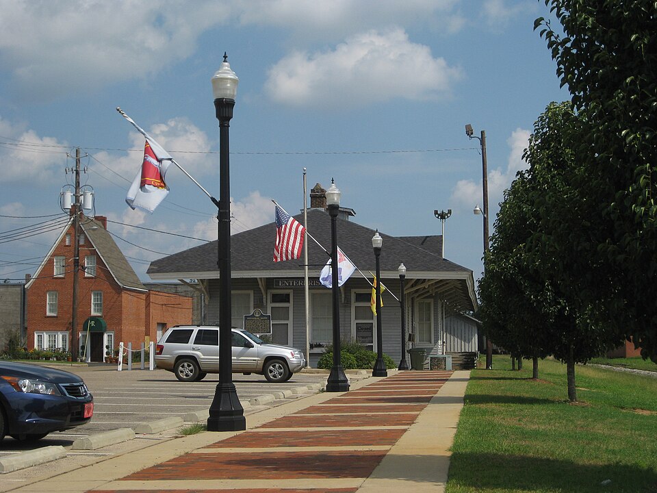
| October 2008 | Tornado (EF1) | Enterprise | $4,000,000 | A tornado touched down just south of the Enterprise Civic Center. It moved to the east-northeast and lifted just east of Boll Weevil Circle near the Walmart. It caused extensive damage to the civic center, with several windows blown out and much of its roof removed. The winds damaged several vehicles outside the Enterprise Senior Center. A building attached to the old Bama Cotton Mill collapsed. More than a hundred homes and businesses were also damaged. Fortunately, no injuries or deaths were reported. The tornado was rated an EF-1 with winds estimated from 100 to 105 mph. |
| September 1998 | Tornado (F1) | Enterprise | $1,500,000 | An F1 tornado touched down on CR 725 near Enterprise. One residence suffered roof damage. Camp Wiregrass sustained moderate to severe damage with several buildings crumpled, trees and power lines down, and scattered debris. Numerous customers in Enterprise were without electric service. A semi was blown over at Con Agra. |
| July 2004 | Lightning | Enterprise | $150,000 | Lightning struck a house, destroying the patio and attic. Another house struck by lightning lost its sprinkler system and air conditioner. Reported by the Coffee County EMA. |
| April 2015 | Flash Flood | Enterprise | $50,000 | Around a dozen streets were flooded in Enterprise. There was one water rescue of an SUV that stalled in high water. More than a foot of water entered the downtown fire station requiring sandbags and moving furniture. Flash flooding also occurred along a creek along Dixie Drive. Water entered some homes and some residents were evacuated briefly in that area. Damage was estimated. |
| August 1994 | Thunderstorm Wind | Enterprise | $50,000 | Strong wind ripped a substantial limb from a tree on Edwards Street in Enterprise early Monday morning according to newspaper reports. The limb fell on a late model car shattering the windshield and crushing the roof. Specific time entry is estimated. |
| August 2010 | Lightning | Enterprise | $25,000 | Lightning struck the Coffee county District Attorney's office, causing significant computer damage with monetary losses estimated at $25,000. |
| November 2006 | Thunderstorm Wind | Enterprise | $25,000 | Straight-line winds caused extensive damage to a chicken house at the intersection of State Road 27 and Boll Weevile Circle (Highway 192). |
| August 2000 | Thunderstorm Wind | Enterprise | $20,000 | Trees and power lines down. A high school's roof was damaged. Reported by an Enterprise TV station. |
| June 2018 | Thunderstorm Wind | Enterprise | $15,000 | Three large trees were blown down in a yard with one tree falling on a truck. Damage was estimated. |
| June 2010 | Thunderstorm Wind | Enterprise | $12,500 | Numerous trees and power lines were blown down around Enterprise. The monetary damage figure provided is a rough estimate. |
| July 2013 | Thunderstorm Wind | Enterprise | $10,000 | The public reported on facebook that tons of fences were ripped apart in Enterprise due to strong winds. |
| August 1996 | Thunderstorm Wind | Enterprise | $8,000 | no account filed |
| June 2023 | Thunderstorm Wind | Enterprise | $5,000 | Multiple trees and power lines were blown down across the county. |
| August 2016 | Thunderstorm Wind | Enterprise | $5,000 | Several trees, power lines, and poles were blown down mainly on the north side of Enterprise. |
| April 2015 | Thunderstorm Wind | Enterprise | $5,000 | Numerous trees and power lines were blown down. |
| June 2012 | Thunderstorm Wind | Enterprise | $5,000 | Several trees were blown down in Enterprise. Monetary damage was estimated. |
| June 2001 | Thunderstorm Wind | Enterprise | $5,000 | Numerous trees and power lines down. Reported by the Coffee County EMA. |
| April 2020 | Thunderstorm Wind | Enterprise | $3,000 | Several trees and power lines were blown down across the Enterprise area. |
| August 2013 | Thunderstorm Wind | Enterprise | $3,000 | The Coffee County Emergency Manager reported several trees down on the northern side of Enterprise. |
| June 2012 | Thunderstorm Wind | Enterprise | $3,000 | Trees and power lines were blown down in and around Enterprise. Monetary damage was estimated. |
| January 1996 | Thunderstorm Wind | Enterprise | $3,000 | no account filed |
| July 2018 | Thunderstorm Wind | Enterprise | $2,000 | Several trees were blown down with power outages in Enterprise. |
| March 2016 | Thunderstorm Wind | Enterprise | $2,000 | The Covington Electric Coop reported a billboard sign blown into power lines on Rucker Blvd in Enterprise. |
| May 2015 | Thunderstorm Wind | Enterprise | $2,000 | A tree was blown down onto power lines on Meredith Street. |
| March 2014 | Thunderstorm Wind | Enterprise | $2,000 | Power lines were blown down on Antler Dr. |
| May 2006 | Thunderstorm Wind | Enterprise | $2,000 | The Coffee County EMA reported power lines down on County Road 410. |
| November 2020 | Thunderstorm Wind | Enterprise | $1,000 | The Enterprise police reported a telephone wire blown down along with estimated wind gusts of 60 mph. |
| March 2016 | Thunderstorm Wind | Enterprise | $1,000 | Damage was reported to a few fences with a few fence sections blown over. In addition, large limbs were broken off two trees. A flag pole was also tilted by the wind to about a 35 to 40 degree angle. |
| April 2015 | Thunderstorm Wind | Enterprise | $1,000 | A tree was blown down on Antler Drive. |
| November 2014 | Thunderstorm Wind | Enterprise | $1,000 | A tree was blown down on Virginia Street and another on Highway 92 in Enterprise. |
| July 2013 | Thunderstorm Wind | Enterprise | $1,000 | A traffic signal fell at the intersection of Rucker Blvd and Dixie Dr. |
| January 2006 | Thunderstorm Wind | Enterprise | $1,000 | The Coffee County EMA reported downed trees in Enterprise. |
| June 2004 | Thunderstorm Wind | Enterprise | $1,000 | Downed trees reported by the Coffee County EMA. |
| March 2001 | Thunderstorm Wind | Enterprise | $1,000 | Trees down. Reported by the Coffee County Sheriff. |
| August 1995 | Thunderstorm Wind | Enterprise | $1,000 | Police department in New Brockton reported trees and power lines down. Sheriff's office reported several large trees down across roads near Enterprise. |
| April 2000 | Thunderstorm Wind | Enterprise | $500 | The Coffee County EMA reported some trees down on Timberlake Drive. |
| July 2007 | Thunderstorm Wind | Enterprise | $250 | A few utility poles were down in the northern part of the city. |
| January 2026 | Thunderstorm Wind | Enterprise | - | A tree was blown down in Enterprise. |
| March 2026 | Thunderstorm Wind | Enterprise | - | Trees were blown down across Coffee county. |
| March 2025 | Thunderstorm Wind | Enterprise | - | An oak tree was uprooted at Enterprise High School. |
| March 2025 | Thunderstorm Wind | Enterprise | - | Trees were blown down on Cherry Hill Road, Pinehurst Dr, Sylvan Dr, and Janice Street. |
| June 2025 | Thunderstorm Wind | Enterprise | - | A tree was blown down in Enterprise. |
| April 2022 | Thunderstorm Wind | Enterprise | - | A few trees were blown down. |
| March 2022 | Flash Flood | Enterprise | - | College Street in Enterprise was flooded. |
| April 2021 | Hail | Enterprise | - | A law enforcement officer reported quarter size hail hitting their patrol vehicle. |
| April 2021 | Thunderstorm Wind | Enterprise | - | A tree was blown down onto Iroquois Street. |
| January 2020 | Thunderstorm Wind | Enterprise | - | A picture was posted on social media showing a large tree branch snapped off in a driveway in Enterprise. |
| November 2020 | Hail | Enterprise | - | The public reported nickel sized hail in the Enterprise area via social media. |
| November 2020 | Hail | Enterprise | - | The public reported nickel to quarter sized hail near Enterprise via social media. |
| July 2018 | Thunderstorm Wind | Enterprise | - | Several trees were blown down in the Enterprise area. |
| May 2017 | Hail | Enterprise | - | Quarter sized hail was reported northeast of Enterprise. |
| September 2017 | Hail | Enterprise | - | Quarter sized hail fell near Enterprise with a picture posted on social media. |
| November 2016 | Thunderstorm Wind | Enterprise | - | A tree was blown down onto Grimes Street. |
| August 2015 | Hail | Enterprise | - | Dime to nickel size hail was reported between New Brockton and Enterprise with large tree limbs also blown down. |
| June 2015 | Thunderstorm Wind | Enterprise | - | A tree was blown down on Cahaba Drive. |
| June 2015 | Thunderstorm Wind | Enterprise | - | A tree was blown down on Silver Oak Dr. |
| March 2009 | Thunderstorm Wind | Enterprise | - | A citizen reported the tops of a dozen large pine trees were snapped. |
| March 2009 | Hail | Enterprise | - | Nickel sized hail was reported between County Road 625 and Boll Weevil Circle. |
| April 2006 | Hail | Enterprise | - | Penny size hail reported by the Coffee County EMA. |
 Block