 Block
From the record
5 National Register listings published here.
Sources: the National Register database, National Park Service
56 topographic sheets and 8 fire insurance atlases across 2 places.
5 National Register listings published here.
Sources: the National Register database, National Park Service
Taken for the Office of War Information and the Farm Security Administration, who photographed the country between 1935 and 1944. Works of United States government photographers, with no known restriction on use. Each opens its catalogue record.

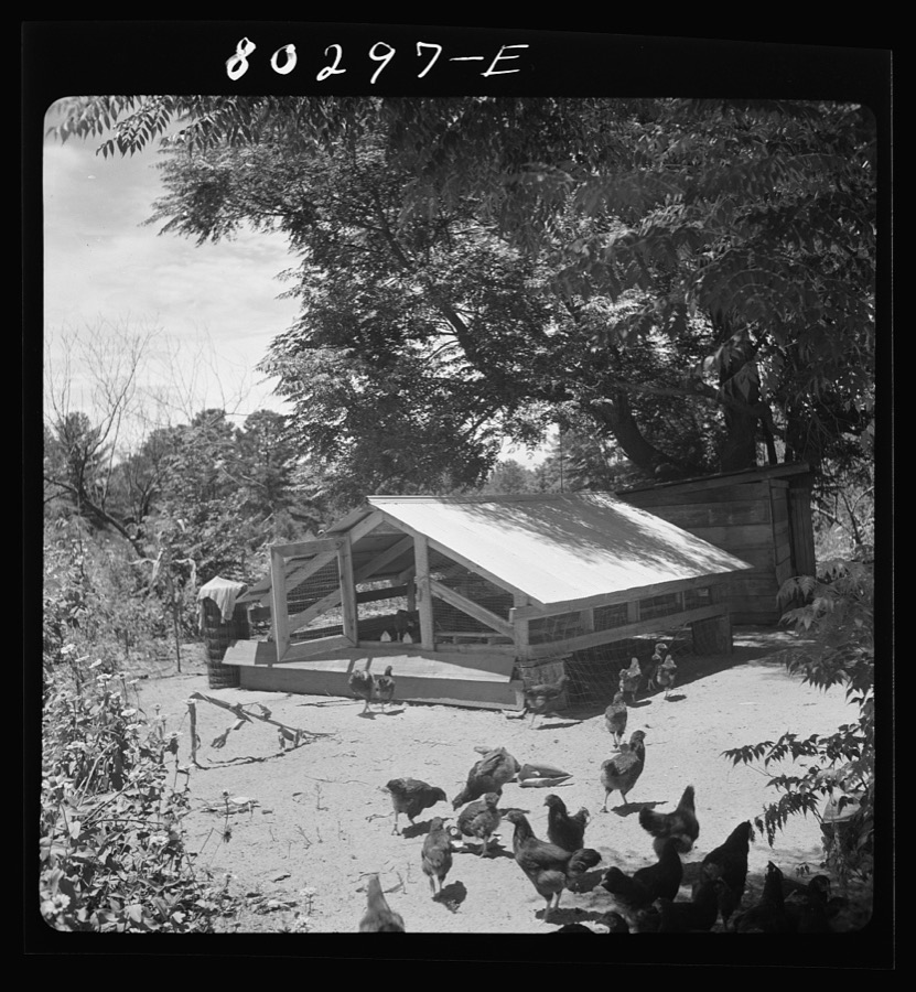
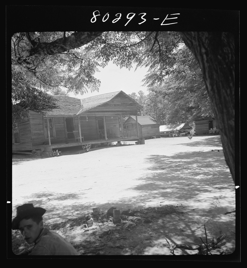
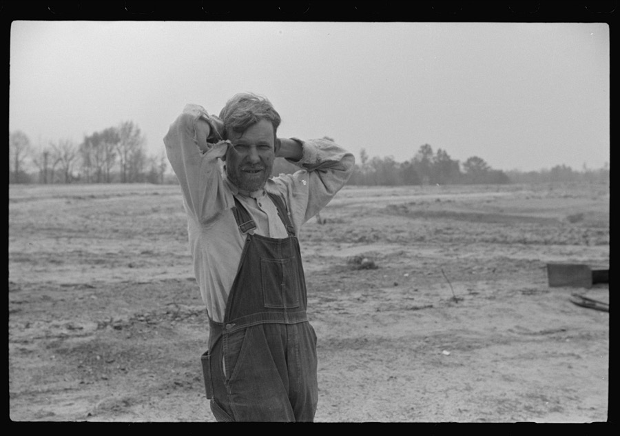

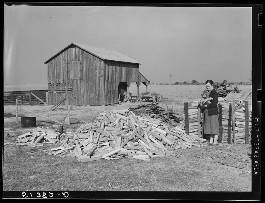
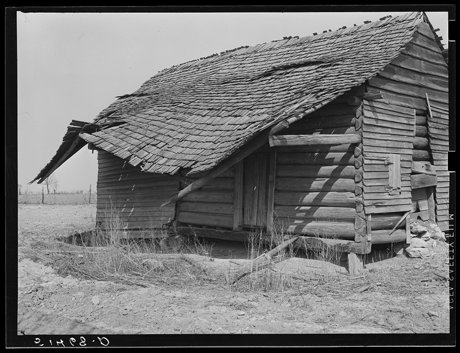
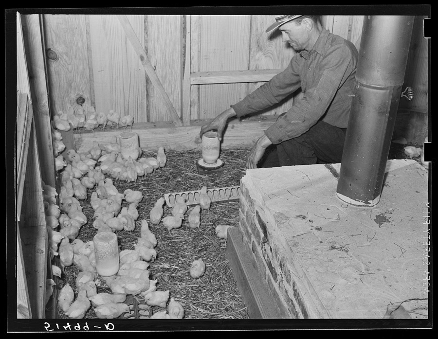

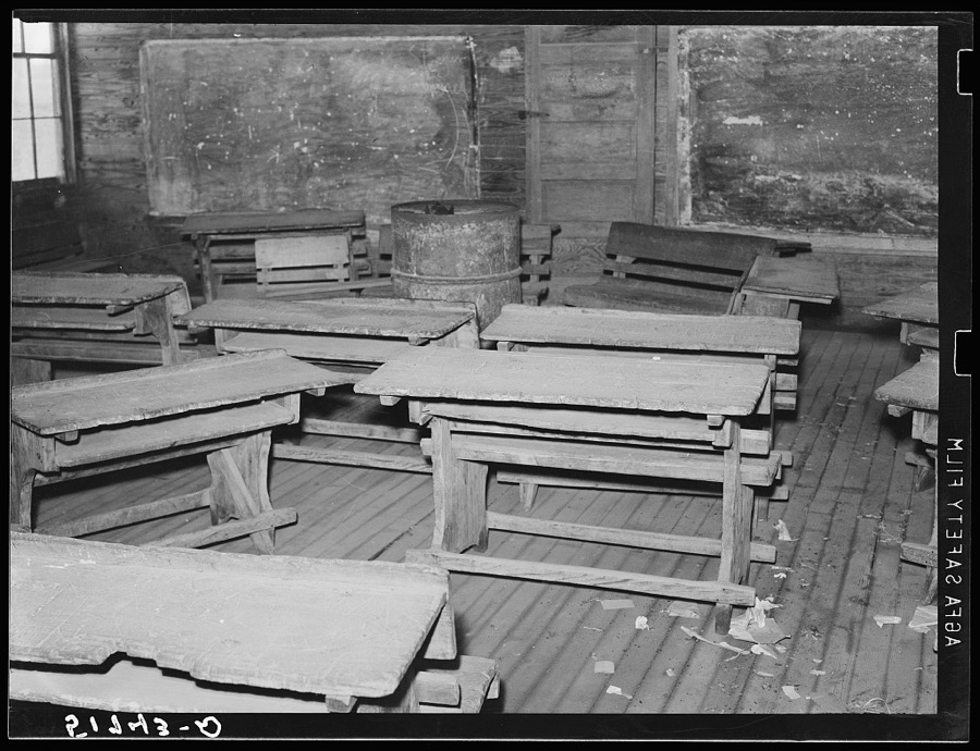
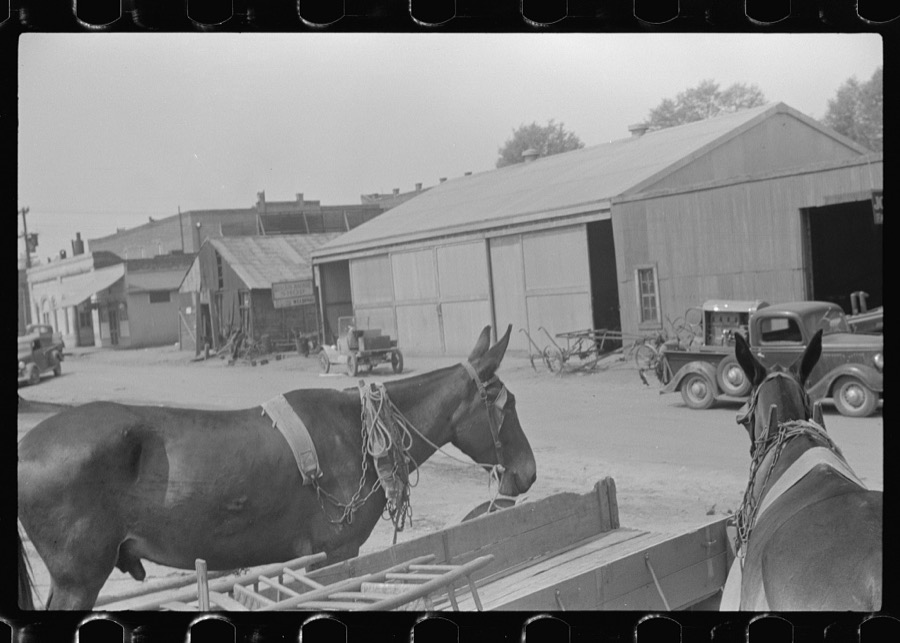
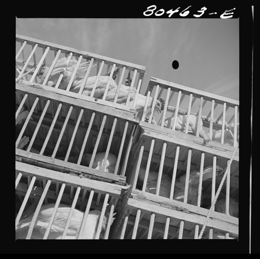
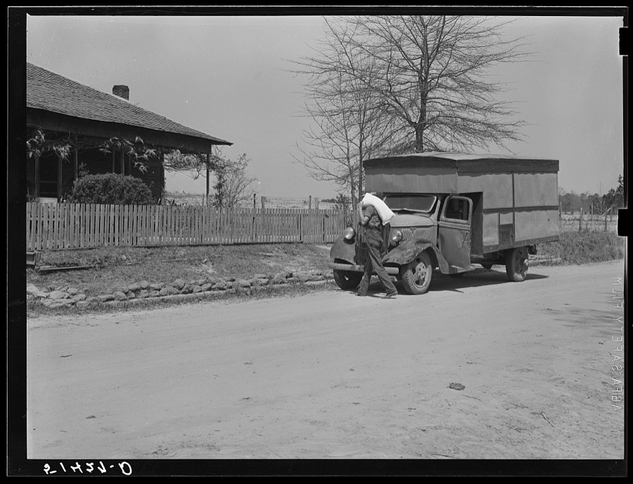
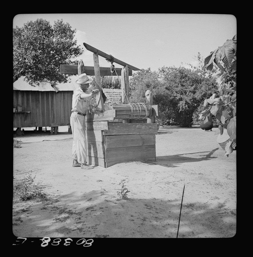
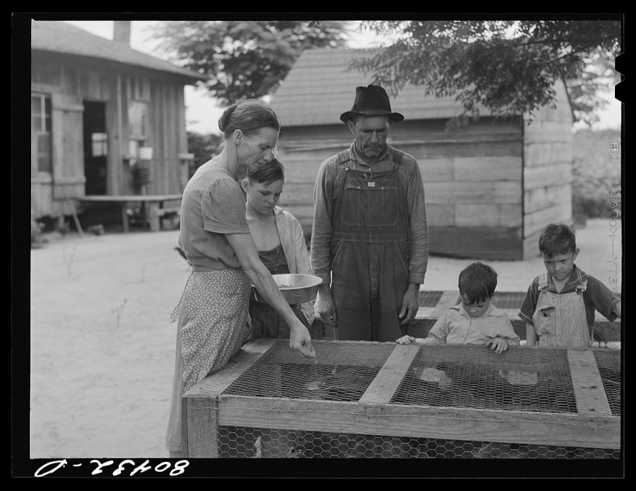
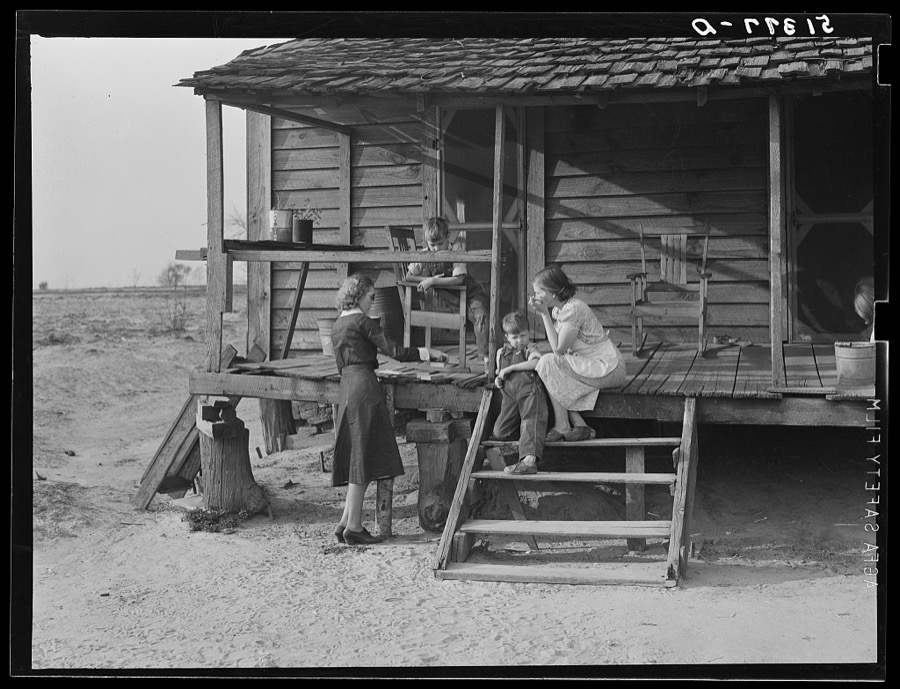
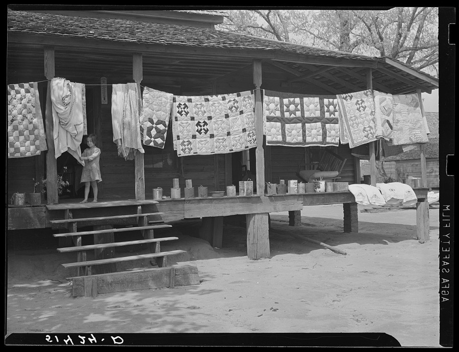

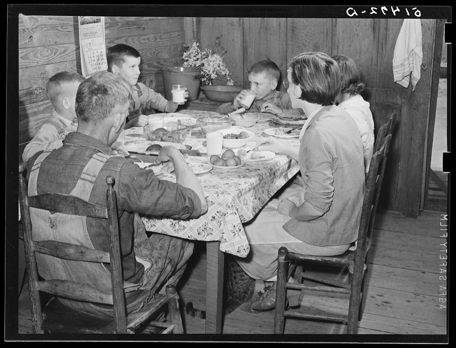
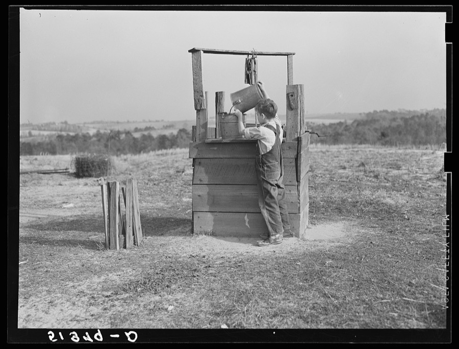
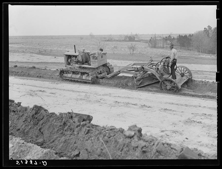
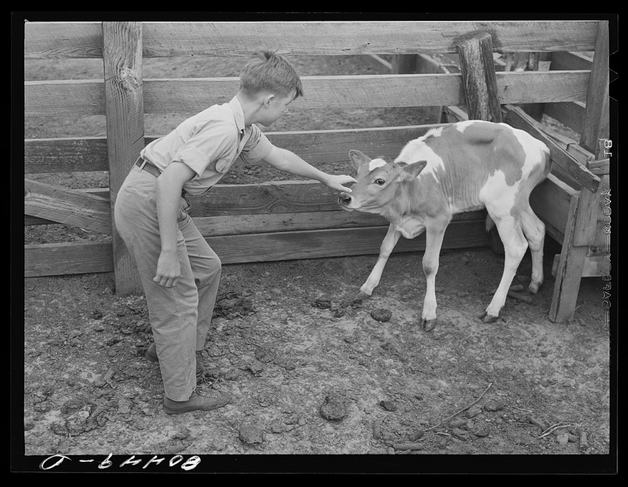

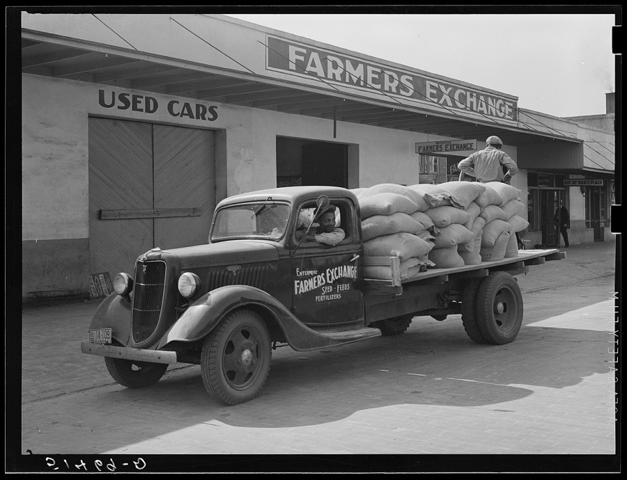
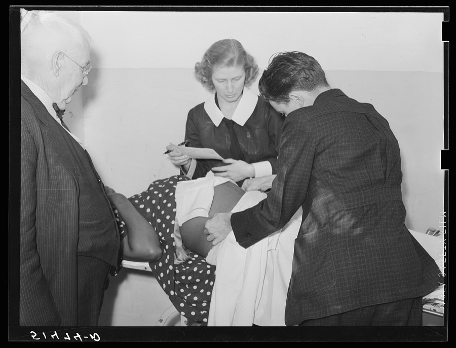



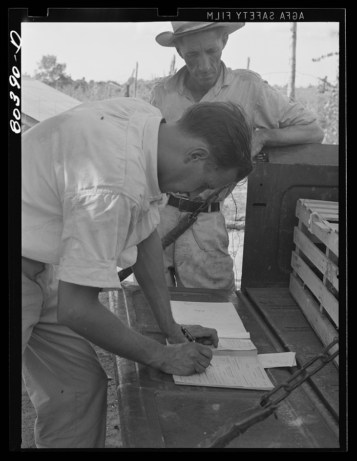
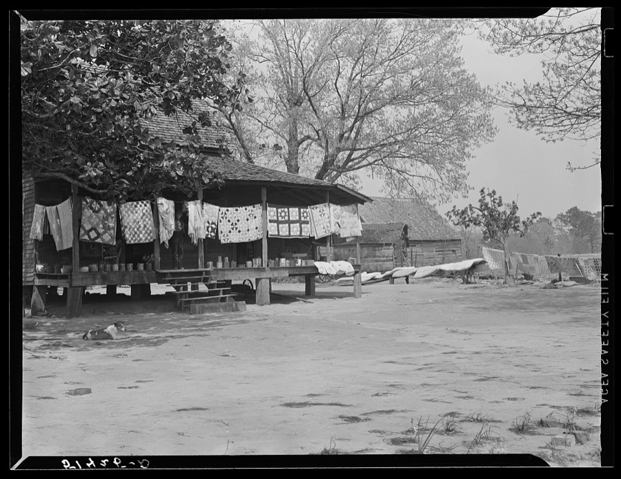

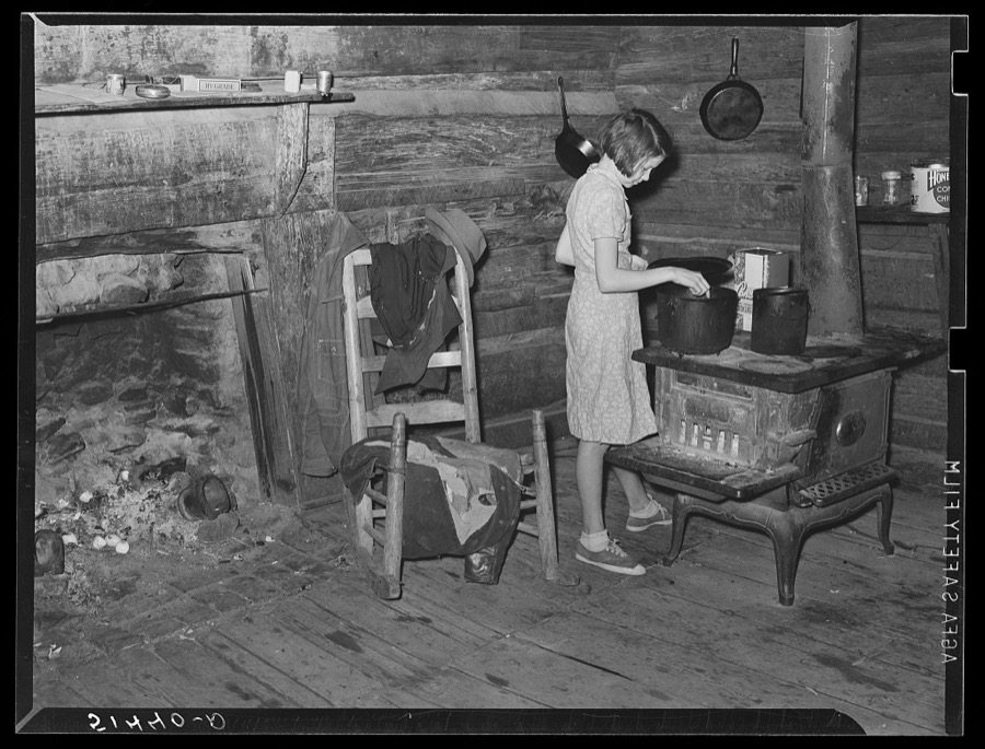
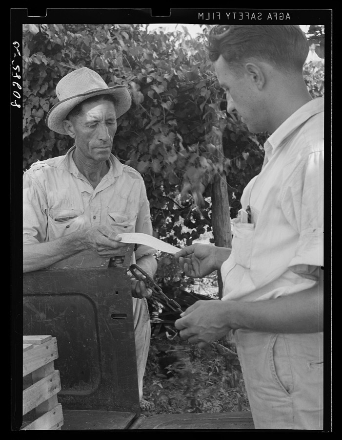
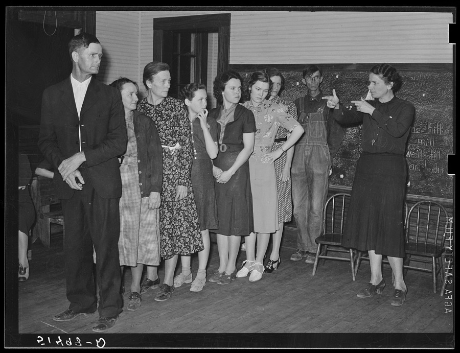
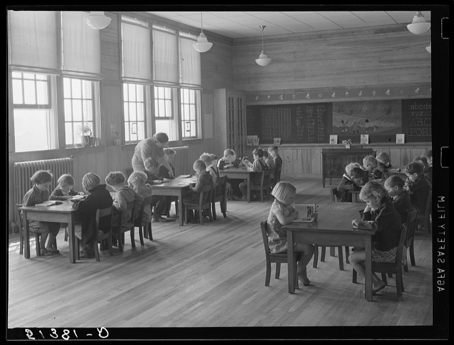
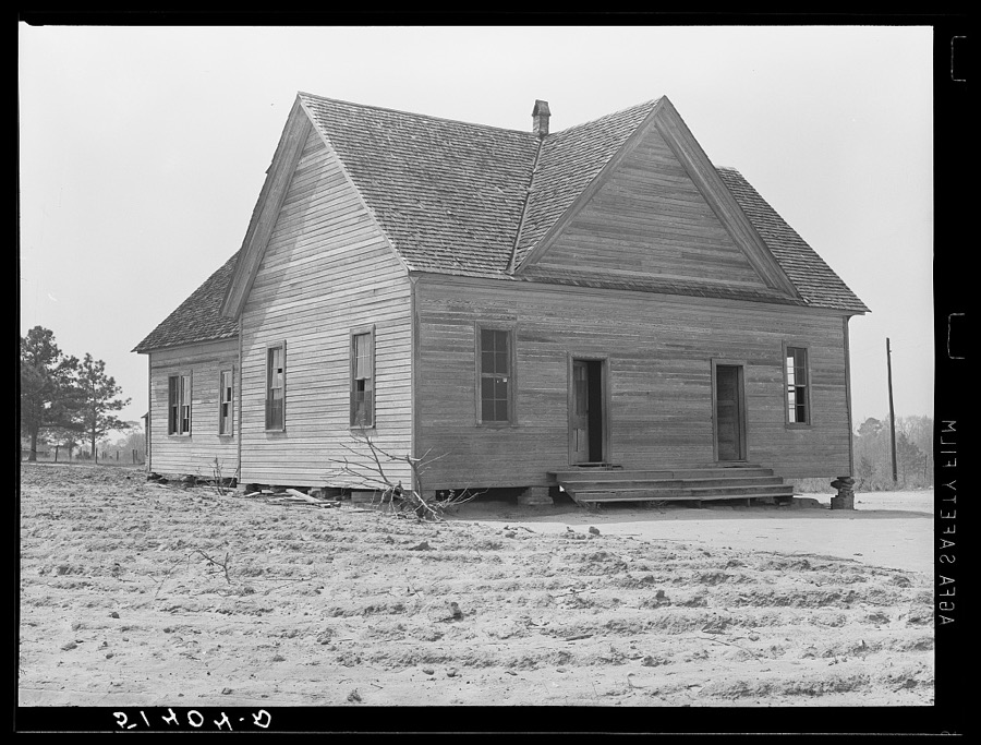
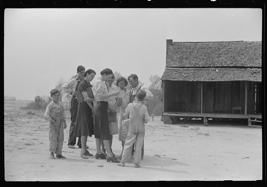
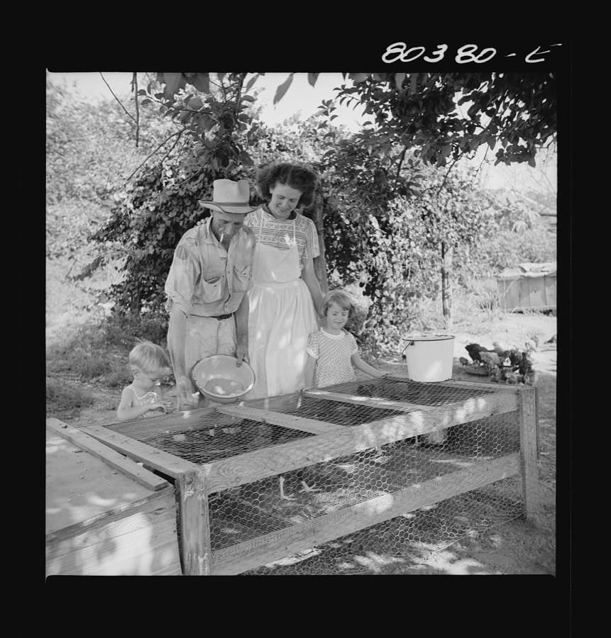
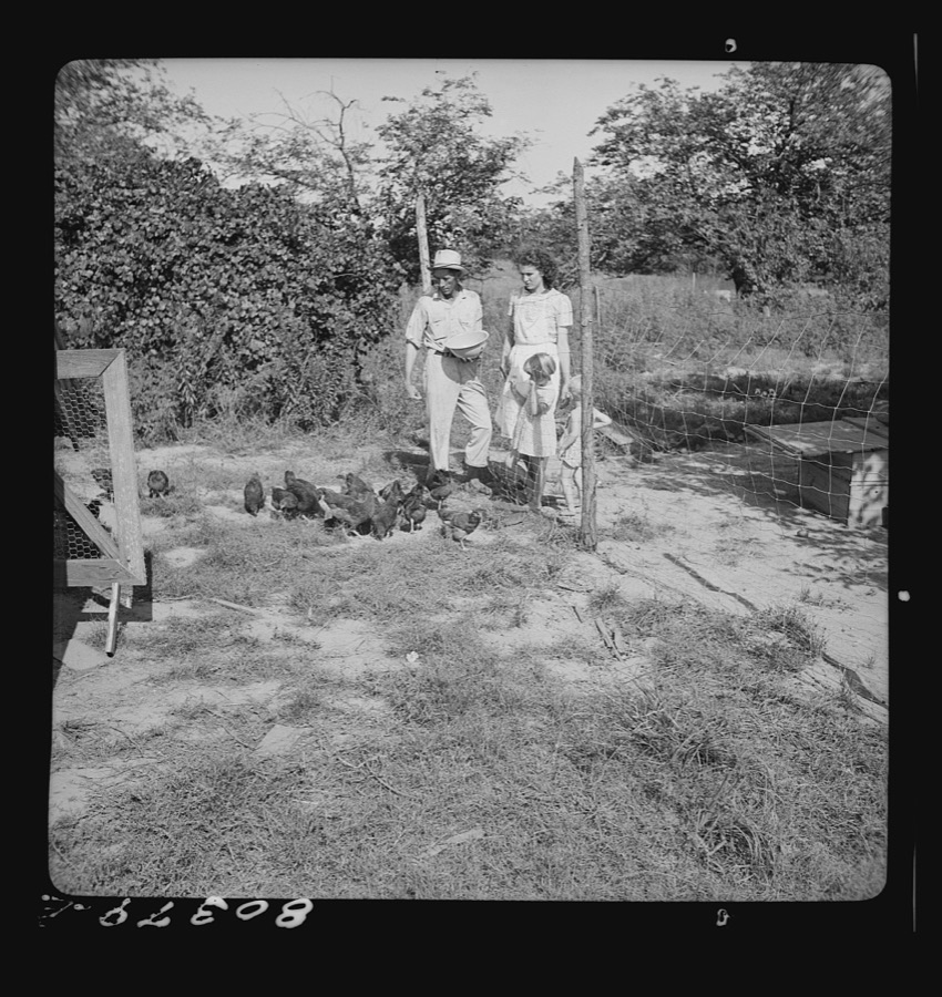
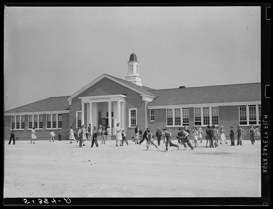
Every property in this county listed on the National Register of Historic Places, with the year it was listed and the federal nomination document.
| Photograph | Property | Type | Listed | Reference |
|---|---|---|---|---|
 | Boll Weevil Monument | object | 1973 | 73000336 |
 | Coffee County Courthouse | building | 1973 | 73000335 |
| Pea River Power Company Hydroelectric Facility | district | 1984 | 84000602 | |
| Rawls Hotel | building | 1980 | 80000684 | |
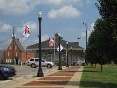 | Seaboard Coastline Depot | building | 1974 | 74000405 |
Drawn when these were printed as single large sheets: the town seen from the air, and the county divided into its farms with every owner named. Each opens the original at the Library of Congress.
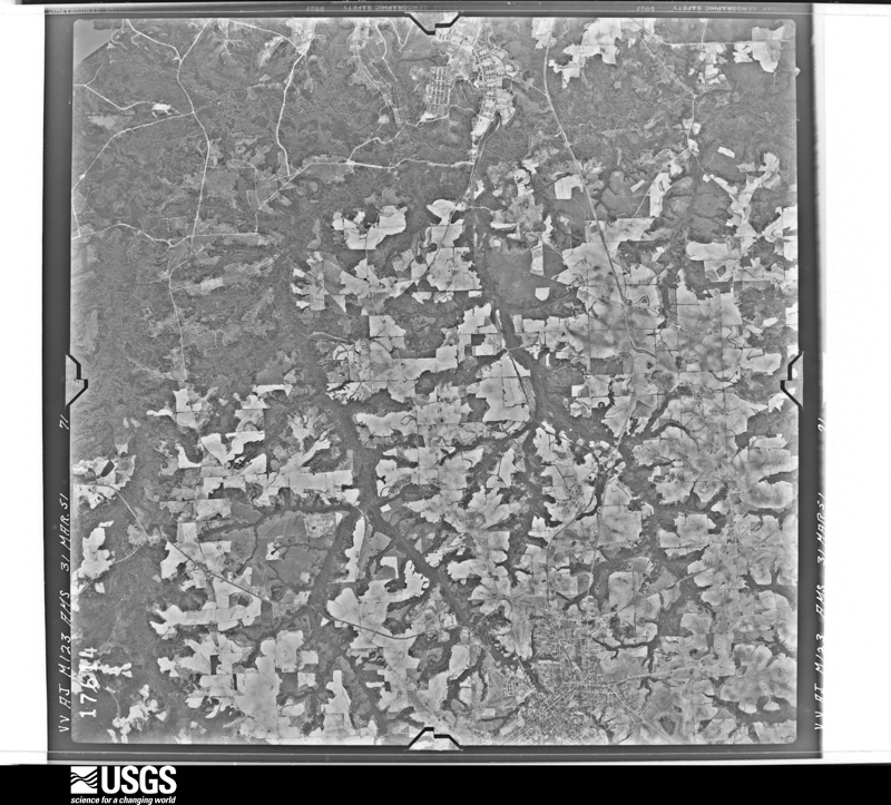
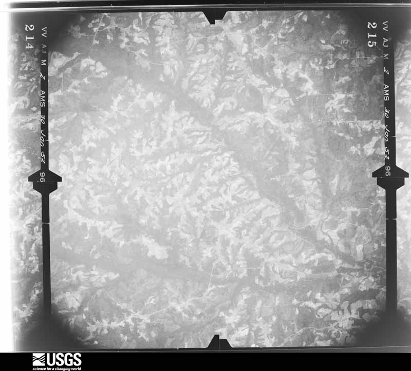
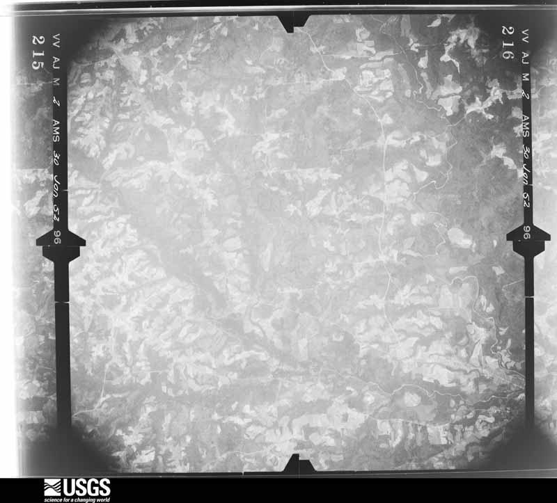
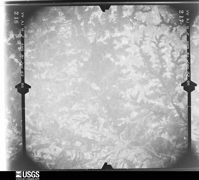
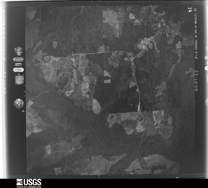
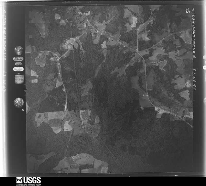
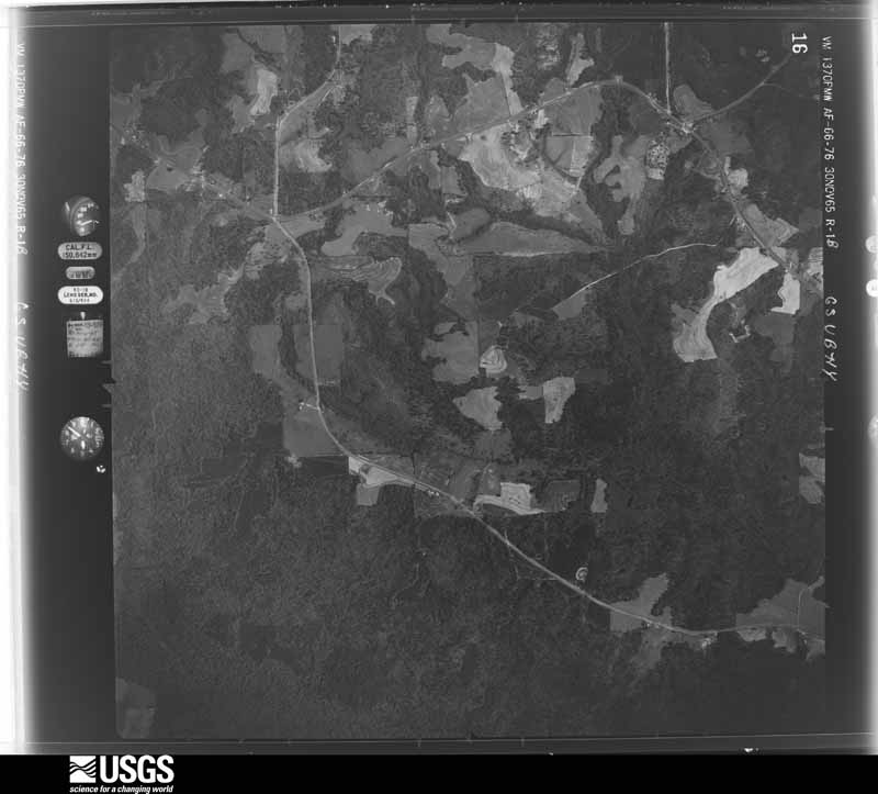
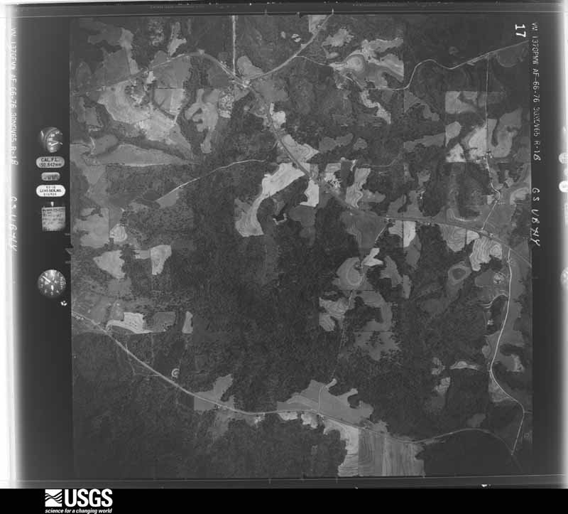
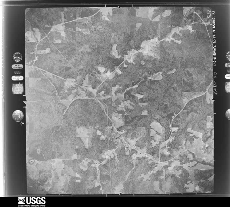
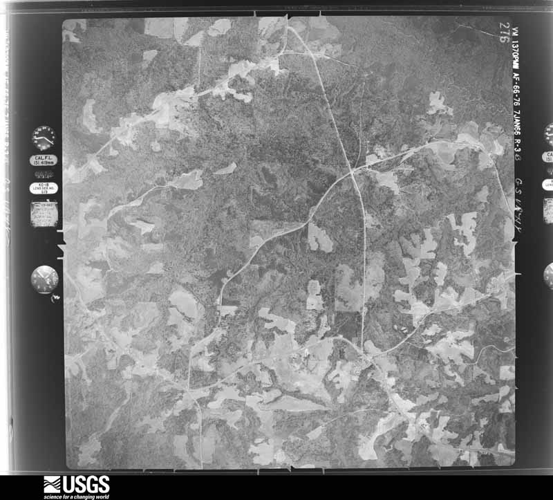
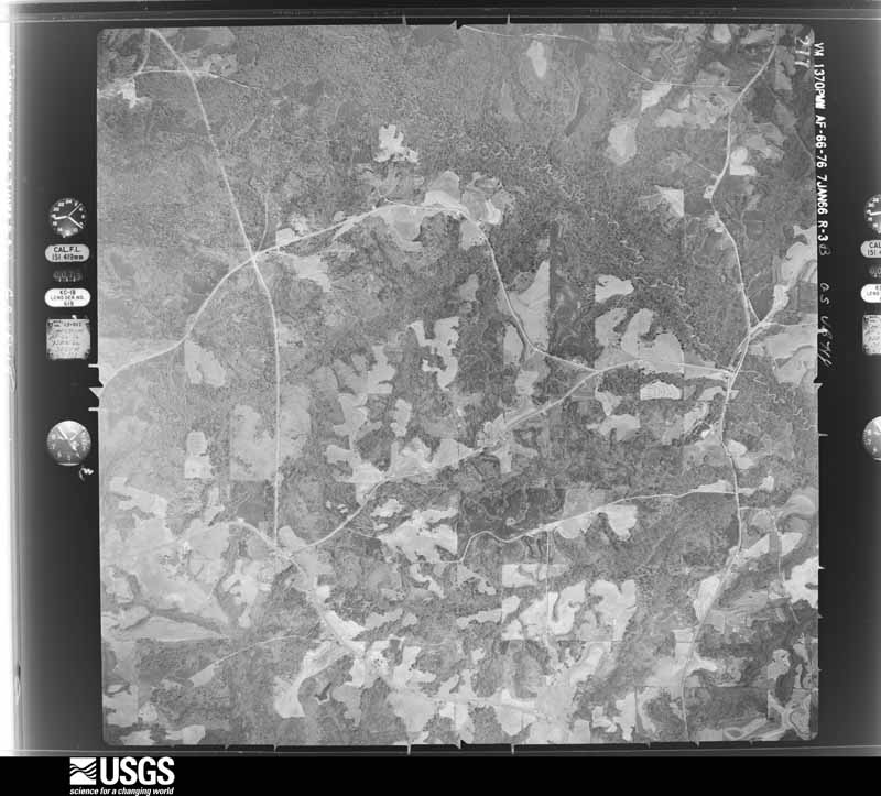
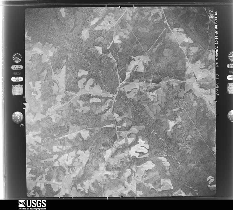
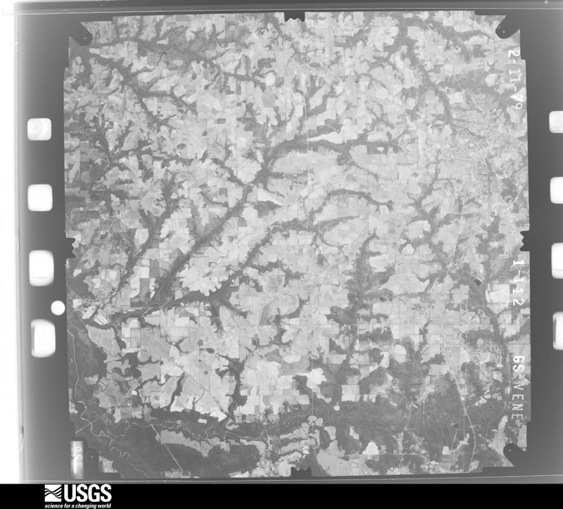
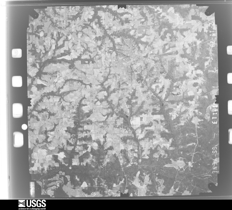
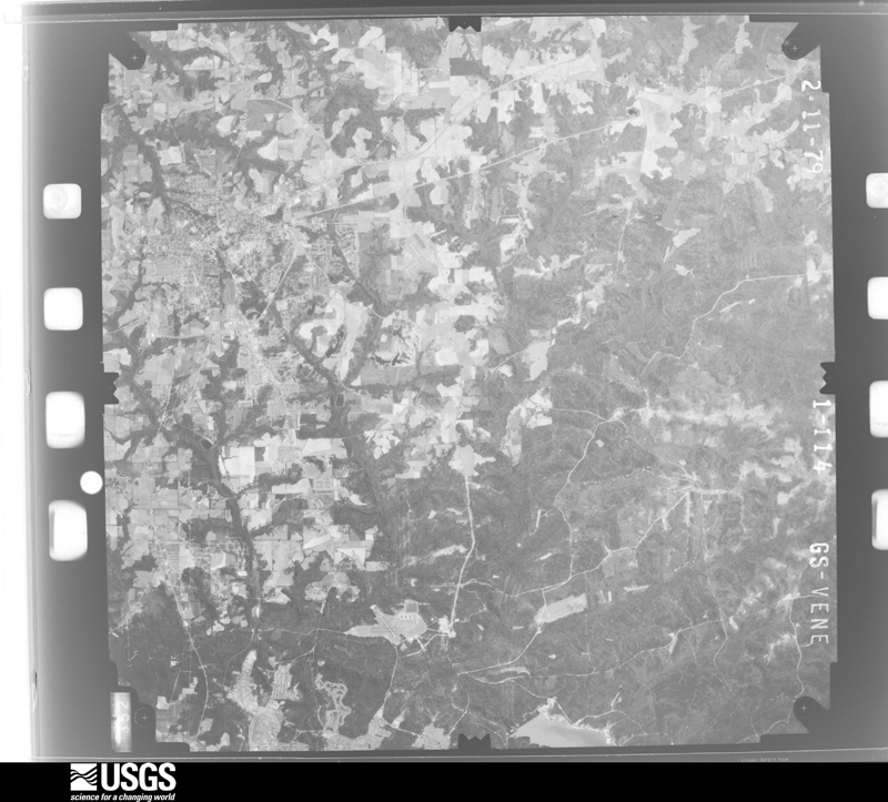
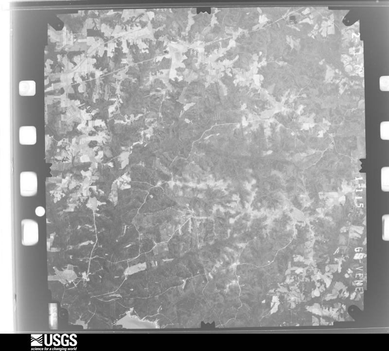
Flown by the U.S. Geological Survey between 1937 and 1989, the Aerial Photo Single Frames collection is the definitive mid-century view of the land: fields, roads and rivers as the camera saw them. The Survey holds 363 frames inside the rectangle that bounds this county; the 20 frames below were taken over the county itself, chosen across the decades of flights (at most four a year from that rectangle), so one flight cannot crowd out the rest. The full set is free to browse and download at EarthExplorer under the dataset Aerial Photo Single Frames.




The thermometers that kept this county's weather, and the gages that measured the flow of its streams, as the federal records hold them. The extremes below are measured values from those records, not estimates.
Who lived here in 1950, one enumeration district at a time, as the Census Bureau described each district. Each row opens its official National Archives result, with Population Schedules and ED Maps available there.
Every wildfire the federal occurrence database records inside this county: 394 of them, burning about 3,106 acres. 7 started naturally and 54 were recorded as arson. Each settlement page carries the fires within five miles of it.
| Reported cause | Fires |
|---|---|
| Debris and open burning | 152 |
| Missing data/not specified/undetermined | 76 |
| Arson/incendiarism | 54 |
| Equipment and vehicle use | 46 |
| Recreation and ceremony | 30 |
| Smoking | 14 |
| Misuse of fire by a minor | 8 |
| Natural | 7 |
| Railroad operations and maintenance | 6 |
| Other causes | 1 |
The five largest, by the area the report gives. Three of them were set deliberately.
| Date | Cause | Size | Reported by | Name on the report |
|---|---|---|---|---|
| 23 May 2011 | Arson/incendiarism | 139 acres | Alabama Forestry Commission | CO RD 306, AL |
| 20 March 2012 | Missing data/not specified/undetermined | 114 acres | Alabama Forestry Commission | SER-20120320-005 |
| 12 August 2010 | Missing data/not specified/undetermined | 87 acres | Alabama Forestry Commission | not named |
| 24 March 2002 | Arson/incendiarism | 85 acres | Alabama Forestry Commission | not named |
| 8 October 2016 | Missing data/not specified/undetermined | 67 acres | Alabama Forestry Commission | 20161008-19 |
| 11 February 2011 | Arson/incendiarism | 65 acres | Alabama Forestry Commission | CO RD 239, AL |
| 16 May 2002 | Equipment and vehicle use | 55 acres | Alabama Forestry Commission | not named |
| 19 February 2014 | Missing data/not specified/undetermined | 49 acres | Alabama Forestry Commission | SER-20140219-001 |
Every settlement page carries the fires within five miles of it - see the settlement index below.
The NOAA Storm Events Database holds 595 reports for this county, causing 17 deaths, 95 injuries and about $382,495,280 in recorded property damage. Each settlement page carries the reports that name it.
| Kind of event | Reports |
|---|---|
| Thunderstorm Wind | 431 |
| Hail | 55 |
| Tornado | 41 |
| Flash Flood | 38 |
| Lightning | 13 |
| Funnel Cloud | 8 |
| Flood | 7 |
| Heavy Rain | 2 |
The most serious of them, by death, then injury, then recorded damage. The accounts are quoted exactly as the forecast office filed them.
| When | Event | Place named | Harm | What the report says |
|---|---|---|---|---|
| March 2007 | Tornado (EF4) | Enterprise Muni Arpt | 9 killed, 50 hurt, $250,000,000 | A tornado touched down just southwest of the Enterprise Municipal Airport. It caused minor damage to some houses. Four chicken houses were destroyed. The tornado then traveled northeast and quickly intensified as it moved into the Enterprise city limits. It severely damaged the high school just north of the downtown. Eight students were killed as walls collapsed on them while they took shelter in the interior hallways. Fifty more were injured. The football stadium was destroyed. Many vehicles surrounding the schools were overturned or tossed about. Several state roads were impassible due to debris and fallen utility poles and lines. The ninth fatality occurred where an elderly woman was standing behind a living room window of her home as the glass shattered. A nearby elementary school was heavily damaged with no deaths or injuries reported there. Damage near the high school and in northeast Enterprise reached low end EF-4. Damage assessments indicated 239 homes destroyed, 374 homes with major damage, 529 homes with minor damage, and 251 homes affected. Coffee County was declared a federal disaster area, with preliminary FEMA individual assistance figures totalling over $1 million. |
| March 1998 | Flash Flood | Elba | 4 killed, $105,000,000 | A vigorous Gulf storm dumped up to 14 inches of rain across the northern half of Coffee County. The earthen levee on the Beaver Dam Creek breached. A six foot wall of water rushed into the city of Elba. Two thousand residents were forced to evacuate. Nearly 400 homes and businesses sustained flood damage. Approximately 52 county roads were washed out or flooded. The Pea River at Elba crested near 39.3 feet on March 9. Four people were killed when their vehicles were swept away by floodwaters. Coffee County was declared a federal disaster area. |
| December 2015 | Flood | Roeton | 2 killed, $1,720,000 | Significant flooding occurred across Coffee county during the last week in December due to 10-20 inches of rain falling in the Pea River basin. The Pea River at Elba reached its third highest crest on record on December 26th. An aerial survey indicated 117 structures submerged with numerous others impacted near Elba. A later survey by the Red Cross indicated that 14 structures were destroyed, 48 received major damage, and 31 received minor damage. A family tried to cross the Pea River on Highway 107 and their vehicle was swept away on December 25th. Two fatalities resulted. The monetary damage to Coffee county is estimated at $1,717,980. Of that amount, $1,039,500 was due to mainly road and bridge damage in the county, $15,219.50 was from the Sheriff's department, $440,260.94 was from the city of Elba, $200,000 was from the city of Enterprise, and $23,000 was from the city of New Brockton. |
| June 1996 | Lightning | Enterprise | 1 killed, 2 hurt | no account filed |
| June 2000 | Thunderstorm Wind | Elba | 1 killed, $10,000 | Numerous trees and power lines down. An elderly woman was killed when a tree fell on her vehicle at the intersection of County Roads 349 and 306. Reported by the Coffee County EMA. |
| April 1973 | Tornado (F2) | not stated | 14 hurt, $2,500,000 | no account filed |
| December 1973 | Tornado (F3) | not stated | 11 hurt, $2,500,000 | no account filed |
| March 1984 | Tornado (F2) | not stated | 4 hurt, $250,000 | no account filed |
| November 1986 | Tornado (F3) | not stated | 3 hurt, $2,500,000 | no account filed |
| November 2006 | Tornado (F0) | Elba | 2 hurt, $350,000 | A tornado touched down just northeast of Elba. Most of the damage occurred along County Roads 235 and 279 and State Highway 125. Several mobile homes and sheds were destroyed. Two persons were injured when their doublewide mobile home was tossed into trees. Among the structures damaged were a collection tank and four roll-off containers at a county landfill, a home which lost its front porch and roof, and several trailers. There were numerous trees and utility poles uprooted. |
| November 1986 | Tornado (F1) | not stated | 2 hurt, $250,000 | no account filed |
| May 1983 | Tornado (F3) | not stated | 1 hurt, $250,000 | no account filed |
| April 1996 | Thunderstorm Wind | Countywide | 1 hurt, $100,000 | no account filed |
| December 1995 | Tornado | Jack | 1 hurt, $30,000 | A tornado flipped a mobile home and scattered debris 350 yards into nearby trees. A woman inside received a cut, while her two children escaped unharmed. |
| June 2012 | Thunderstorm Wind | Clintonville | 1 hurt, $750 | Thunderstorm wind gusts tore the roof off a temporary structure at the Bama Jam, injuring one person. |
| January 2012 | Lightning | Elba | 1 hurt | The Enterprise Ledger reported that a teenager was struck by lightning and injured while at a car wash during the afternoon hours. He was taken to Elba General Hospital and then later transferred to Southeast Alabama Medical Center in Dothan where he was discharged two days later. |
| February 2008 | Lightning | New Brockton | 1 hurt | A woman was struck by lightning that entered the home through a computer on which she was working during the storm. She felt a tibgling sensation on her right side and EMS personnel responded to the scene. |
| July 2007 | Lightning | Clintonville | 1 hurt | A man suffered minor injuries when he was struck by lightning while working in his metal garage. |
| October 2008 | Tornado (EF1) | Enterprise | $4,000,000 | A tornado touched down just south of the Enterprise Civic Center. It moved to the east-northeast and lifted just east of Boll Weevil Circle near the Walmart. It caused extensive damage to the civic center, with several windows blown out and much of its roof removed. The winds damaged several vehicles outside the Enterprise Senior Center. A building attached to the old Bama Cotton Mill collapsed. More than a hundred homes and businesses were also damaged. Fortunately, no injuries or deaths were reported. The tornado was rated an EF-1 with winds estimated from 100 to 105 mph. |
| September 1998 | Flash Flood | Elba | $2,500,000 | Torrential rains of 8 to 24 inches produced the worst flash flooding in Geneva County since Hurricane Opal in 1995. Numerous roads were damaged or washed out. AL 54 was closed from Samson west to Florala. All county roads were closed for fear of more flooding and washouts. Significaant losses were incurred to peanut and cotton crops. Several creeks overflowed their banks closing AL 65, 54, and 52. |
| October 1955 | Tornado (F2) | not stated | $2,500,000 | no account filed |
| September 1998 | Tornado (F1) | Enterprise | $1,500,000 | An F1 tornado touched down on CR 725 near Enterprise. One residence suffered roof damage. Camp Wiregrass sustained moderate to severe damage with several buildings crumpled, trees and power lines down, and scattered debris. Numerous customers in Enterprise were without electric service. A semi was blown over at Con Agra. |
| May 1999 | Thunderstorm Wind | Countywide | $750,000 | Coffee County EMA provided a summary of damages: seven residential houses sustained slight to major wind damage, four barns and other neighboring sheds suffered minor to major damage including roof losses, three chicken houses received moderate wind damage, and numerous trees and power lines down with some on roadways. |
| September 2020 | Flash Flood | Wilkinstown | $500,000 | During Sally, significant flash flooding occurred across the northern portions of Coffee County with all county roads in the northern part of the county declared impassable due to water over the roads. Damage cost was estimated. |
| September 1998 | Tornado (F1) | New Brockton | $500,000 | An F1 tornado descended near CR 732 in New Brockton damaging several chicken houses, roads, ditches, and drainage systems. |
| March 1994 | Tornado (F2) | Frisco | $500,000 | A tornado touched down about two miles east of Frisco in the New Hope Community causing extensive damage. Five homes and two mobile homes were damaged; one chicken house was destroyed and five others were damaged. Two houses had the roofs blown completely off. |
| February 2025 | Lightning | Damascus | $300,000 | A house was struck by lightning and burned down at the 12000 block of Highway 134 in New Brockton. Damage cost was estimated. |
| February 2008 | Thunderstorm Wind | Frisco | $300,000 | Four chicken houses and a residence were destroyed on County Road 107. |
| July 2009 | Thunderstorm Wind | Brooklyn | $250,000 | Thunderstorm winds downed numerous trees and power lines, caused sporadic power outages, and damaged several structures. A barn was damaged on State Highway 134, a few trees were across power lines on County Road 474, a bank building sustained roof damage in Kinston, and several reports of barn and roof damage on State Highway 189 between Perry Store community and Kinston. |
| July 2004 | Thunderstorm Wind | Countywide | $250,000 | Widespread downed trees and power lines. An estimated 3000 customers were without power. In Kinston, a racetrack's metal awning and roof were destroyed. A Kinston residence lost a pump house roof, shingles and TV antenna. In rural Coffee County, a barn at the intersection of State Highway 189 and County Road 467 was damaged. A residence on State Highway 134 sustained roof damage, broken winds, a destroyed barn, and downed trees. A nearby residence was damaged by a fallen tree. Reported by the Coffee County EMA. |
| March 1976 | Tornado (F1) | not stated | $250,000 | no account filed |
| January 1972 | Tornado (F2) | not stated | $250,000 | no account filed |
| January 1963 | Tornado (F1) | not stated | $250,000 | no account filed |
| April 1961 | Tornado (F1) | not stated | $250,000 | no account filed |
| July 2004 | Lightning | Enterprise | $150,000 | Lightning struck a house, destroying the patio and attic. Another house struck by lightning lost its sprinkler system and air conditioner. Reported by the Coffee County EMA. |
| March 2009 | Thunderstorm Wind | Enterprise Municipal Arpt | $100,000 | There were numerous reports of wind damage to the west and south of Enterprise. Several telephone poles were toppled. Two chicken houses were severely damaged. One trailer sustained roof damage. |
| July 2000 | Thunderstorm Wind | Kinston | $100,000 | Two race track buildings and two sheds were damaged. One road was blocked by fallen trees. Reported by the Coffee County EMA. |
| January 1996 | Tornado (F1) | Kinston | $100,000 | no account filed |
| June 2018 | Lightning | Shell Army Field | $75,000 | A lightning strike resulted in a house fire with significant damage. Damage cost was estimated. |
| March 2001 | Thunderstorm Wind | Countywide | $75,000 | Widespread reports of downed trees and power lines. One business lost its awning near Elba. Several chicken houses lost tin from their roofs. Reported by the Coffee County EMA. |
| February 2013 | Flood | Turner Crossroads | $60,000 | Coffee county sustained around $50K of damage due to flooding of some county roads and an additional $10K of damage due to flooding of some roads in New Brockton. |
| February 2008 | Thunderstorm Wind | Roeton | $60,000 | A barn was destroyed on County Road 104. Numerous trees and power poles were blown down. A tree was down on County Road 315 and a tree fell on a residence on County Road 110. |
| August 1995 | Thunderstorm Wind | Elba | $55,000 | A pavillion was destroyed at a music park. ALABAMA, Southwest |
| March 2022 | Lightning | Enterprise Municipal Arpt | $50,000 | Lightning caused a structure fire along Camellia Dr in Enterprise. |
| April 2020 | Thunderstorm Wind | Holley Store | $50,000 | Trees and power lines were down on CR460 outside of Kinston. Barns and homes were also damaged. |
| April 2020 | Tornado (EF0) | Lowry Mill | $50,000 | A dual pol tornadic debris signature was visible from EOX radar moving across portions of northern Coffee county. Damage occurred in the form of numerous snapped trees and roof damage. The tornado was rated EF0 with winds estimated near 80 mph. |
| April 2015 | Flash Flood | Enterprise | $50,000 | Around a dozen streets were flooded in Enterprise. There was one water rescue of an SUV that stalled in high water. More than a foot of water entered the downtown fire station requiring sandbags and moving furniture. Flash flooding also occurred along a creek along Dixie Drive. Water entered some homes and some residents were evacuated briefly in that area. Damage was estimated. |
| February 2008 | Thunderstorm Wind | Victoria | $50,000 | A barn was destroyed with its debris blown across County Road 129. |
| June 2007 | Thunderstorm Wind | Elba | $50,000 | Several trees were blown down just south of Elba. A few large trees fell on a house causing extensive damage. |
| June 2006 | Thunderstorm Wind | New Brockton | $50,000 | Several newly constructed walls at a high school collapsed. Reported by the Coffee County EMA. |
| March 2005 | Hail | Victoria | $50,000 | Golfball to egg size hail damaged several vehicles and mobile homes. Reported by the Coffee County EMA. |
| September 1998 | Thunderstorm Wind | Northeast Portion | $50,000 | Numerous trees and power lines down on CR 306 and 307 near Brantley. One tree fell on a house. |
| August 1994 | Thunderstorm Wind | Enterprise | $50,000 | Strong wind ripped a substantial limb from a tree on Edwards Street in Enterprise early Monday morning according to newspaper reports. The limb fell on a late model car shattering the windshield and crushing the roof. Specific time entry is estimated. |
| March 2020 | Thunderstorm Wind | New Brockton | $30,000 | A tree blew down onto a car with wind damage to a sports complex and multiple reports of trees down in the area. |
| November 2006 | Thunderstorm Wind | Danley | $30,000 | West of Danley Crossroads on County Road 376, straight-line winds caused minor damaage to a house and several barns. Some trees had their tops snapped off. |
| April 2023 | Tornado (EF0) | Shell Army Field | $25,000 | A brief tornado developed and caused damage at the Enterprise Country Club just north of Enterprise, Alabama. The tornado touched down near the clubhouse, damaging the roof and porch overhang. Debris from the roof was scattered downwind across the golf course. Tree damage was noted along the track as well. The tornado appears to have dissipated before exiting the golf course property. The damage was consistent with an EF0 tornado with winds of 80 to 85 mph. Thanks to Coffee County EMA for assisting with data gathering for this survey. |
| June 2013 | Thunderstorm Wind | Enterprise Municipal Arpt | $25,000 | A tree fell on a mobile home in Ashley Trailer Park near Highway 27 South and Boll Weevil Circle. There was no other damage reported in the county. Monetary damage was estimated. |
| August 2010 | Lightning | Enterprise | $25,000 | Lightning struck the Coffee county District Attorney's office, causing significant computer damage with monetary losses estimated at $25,000. |
| February 2008 | Tornado (EF1) | Jack | $25,000 | The parent supercell thunderstorm, which spawned the EF-1 tornado, tracked across the northwest corner of Coffee County from southeast Crenshaw County. The tornado lifted the roofs off two barns, and partially removed the roof off a single family home before entering Pike County (see Storm Data for Alabama, Central, for more information). |
| November 2006 | Thunderstorm Wind | Enterprise | $25,000 | Straight-line winds caused extensive damage to a chicken house at the intersection of State Road 27 and Boll Weevile Circle (Highway 192). |
The Survey's mineral resources record lists 75 workings inside this county. 1 still produces and 74 are closed or unrecorded. Each settlement page carries the workings within five miles of it.
| Commodity | Workings |
|---|---|
| Iron | 72 |
| Clay | 2 |
| Sand and Gravel, Construction | 1 |
The least common of them first, because a county's hundredth gravel pit says nothing its first ten did not.
| Where | Site | Commodity | Status | Recorded |
|---|---|---|---|---|
| Southland Number 1 | Sand and Gravel, Construction | Producer | Quartz | |
| Cof 2 Clay Prospect | Clay | Prospect | ||
| Cof 3 Clay Prospect | Clay | Prospect | ||
| Alabama District #3 | Iron | Occurrence | ||
| SE Alabama Iron District | Iron | Past Producer | 1929 | |
| Unnamed | Iron | Unknown | ||
| Unnamed | Iron | Unknown | ||
| Unnamed | Iron | Unknown | ||
| Unnamed | Iron | Unknown | ||
| Unnamed | Iron | Unknown | ||
| Unnamed | Iron | Unknown | ||
| Unnamed | Iron | Unknown | ||
| Unnamed | Iron | Unknown | ||
| Unnamed | Iron | Unknown | ||
| Unnamed | Iron | Unknown | ||
| Unnamed | Iron | Unknown | ||
| Unnamed | Iron | Unknown | ||
| Unnamed | Iron | Unknown | ||
| Unnamed | Iron | Unknown | ||
| Unnamed | Iron | Unknown | ||
| Unnamed | Iron | Unknown | ||
| Unnamed | Iron | Unknown | ||
| Unnamed | Iron | Unknown | ||
| Unnamed | Iron | Unknown | ||
| Unnamed | Iron | Unknown | ||
| Unnamed | Iron | Unknown | ||
| Unnamed | Iron | Unknown | ||
| Unnamed | Iron | Unknown | ||
| Unnamed | Iron | Unknown | ||
| Unnamed | Iron | Unknown | ||
| Unnamed | Iron | Unknown | ||
| Unnamed | Iron | Unknown | ||
| Unnamed | Iron | Unknown | ||
| Unnamed | Iron | Unknown | ||
| Unnamed | Iron | Unknown | ||
| Unnamed | Iron | Unknown | ||
| Unnamed | Iron | Unknown | ||
| Unnamed | Iron | Unknown | ||
| Unnamed | Iron | Unknown | ||
| Unnamed | Iron | Unknown | ||
| Unnamed | Iron | Unknown | ||
| Unnamed | Iron | Unknown | ||
| Unnamed | Iron | Unknown | ||
| Unnamed | Iron | Unknown | ||
| Unnamed | Iron | Unknown | ||
| Unnamed | Iron | Unknown | ||
| Unnamed | Iron | Unknown | ||
| Unnamed | Iron | Unknown | ||
| Unnamed | Iron | Unknown | ||
| Unnamed | Iron | Unknown | ||
| Unnamed | Iron | Unknown | ||
| Unnamed Deposit | Iron | Occurrence | ||
| Unnamed Deposit | Iron | Occurrence | ||
| Unnamed Deposit | Iron | Occurrence | ||
| Unnamed Deposit | Iron | Occurrence | ||
| Unnamed Deposit | Iron | Occurrence | ||
| Unnamed Deposit | Iron | Occurrence | ||
| Unnamed Deposit | Iron | Occurrence | ||
| Unnamed Deposit | Iron | Occurrence | ||
| Unnamed Deposit | Iron | Occurrence | ||
| Unnamed Deposit | Iron | Occurrence | ||
| Unnamed Deposit | Iron | Occurrence | ||
| Unnamed Deposit | Iron | Occurrence | ||
| Unnamed Deposit | Iron | Occurrence | ||
| Unnamed Deposit | Iron | Occurrence | ||
| Unnamed Deposit | Iron | Occurrence | ||
| Unnamed Deposit | Iron | Occurrence | ||
| Unnamed Deposit | Iron | Occurrence | ||
| Unnamed Deposit | Iron | Occurrence | ||
| Unnamed Deposit | Iron | Occurrence | ||
| Unnamed Deposit | Iron | Occurrence | ||
| Unnamed Deposit | Iron | Occurrence | ||
| Unnamed Mine | Iron | Occurrence | ||
| Unnamed Mine | Iron | Occurrence | ||
| Unnamed Prospect | Iron | Occurrence |
Named settlements recorded in the Geographic Names Information System, each with the topographic sheets covering it. Villages, hamlets and abandoned places alike. Each is shown with the nearest named watercourse or landform and the survey quadrangle it falls on. The 2 places that were also surveyed for fire insurance come first, with the number of atlases and photographs held for them.
Elba census division · 36323 · On Whitewater Creek · Elba quadrangle
8 sheets, 1953 to 1986
Fire insurance: 4 atlases
Enterprise census division · 36330 · Enterprise quadrangle
12 sheets, 1942 to 1981
Fire insurance: 4 atlases
Kinston census division · 36453 · On Pages Creek · Opp East quadrangle
8 sheets, 1953 to 1986
Enterprise census division · 36330 · On Indian Camp Creek · Enterprise quadrangle
12 sheets, 1942 to 1981
Victoria census division · 36323 · On Shoal Creek · Victoria quadrangle
11 sheets, 1948 to 1981
Jack census division · 36034 · On Stinking Creek · Bluff Springs quadrangle
8 sheets, 1953 to 1986
Enterprise census division · 36330 · On Baggett Mill Creek · Enterprise quadrangle
12 sheets, 1942 to 1981
Enterprise census division · 36330 · On Indian Camp Creek · Enterprise quadrangle
12 sheets, 1942 to 1981
Kinston census division · 36453 · On Stanley Mill Creek · Opp East quadrangle
8 sheets, 1953 to 1986
Enterprise census division · 36330 · On Bells Mill Creek · Coffee Springs quadrangle
12 sheets, 1942 to 1981
Enterprise census division · 36330 · On Indian Camp Creek · Enterprise quadrangle
12 sheets, 1942 to 1981
Victoria census division · 36346 · On Hog Creek · Victoria quadrangle
11 sheets, 1948 to 1981
Enterprise census division · 36330 · On Syrup Creek · Enterprise quadrangle
12 sheets, 1942 to 1981
Enterprise census division · 36330 · On Little Cowpen Creek · Enterprise quadrangle
12 sheets, 1942 to 1981
Enterprise census division · 36330 · On Little Cowpen Creek · Enterprise quadrangle
12 sheets, 1942 to 1981
Enterprise census division · 36330 · On Indian Camp Creek · Enterprise quadrangle
12 sheets, 1942 to 1981
Enterprise census division · 36330 · On Syrup Creek · Enterprise quadrangle
12 sheets, 1942 to 1981
Elba census division · 36323 · Danleys Crossroads quadrangle
8 sheets, 1953 to 1986
Enterprise census division · 36330 · On Indian Camp Creek · Enterprise quadrangle
12 sheets, 1942 to 1981
Goodman census division · 36453 · On Pond Branch · Sellersville quadrangle
8 sheets, 1953 to 1986
Enterprise census division · 36330 · On Indian Camp Creek · Enterprise quadrangle
12 sheets, 1942 to 1981
Enterprise census division · 36330 · On Indian Camp Creek · Enterprise quadrangle
12 sheets, 1942 to 1981
Victoria census division · 36010 · On Butts Branch · Brundidge SE quadrangle
11 sheets, 1948 to 1981
Enterprise census division · 36330 · On Baggett Mill Creek · Enterprise NE quadrangle
12 sheets, 1942 to 1981
Goodman census division · 36330 · On Peacock Mill Branch · Goodman quadrangle
11 sheets, 1942 to 1981
Enterprise census division · 36330 · On Little Cowpen Creek · Enterprise quadrangle
12 sheets, 1942 to 1981
Enterprise census division · 36330 · On Indian Camp Creek · Enterprise quadrangle
12 sheets, 1942 to 1981
Enterprise census division · 36330 · On Indian Camp Creek · Enterprise quadrangle
12 sheets, 1942 to 1981
Goodman census division · 36453 · On Phillips Creek · Sellersville quadrangle
8 sheets, 1953 to 1986
Enterprise census division · 36330 · On Indian Camp Creek · Enterprise quadrangle
12 sheets, 1942 to 1981
Enterprise census division · 36330 · On Indian Camp Creek · Enterprise quadrangle
12 sheets, 1942 to 1981
Enterprise census division · 36330 · On Indian Camp Creek · Enterprise quadrangle
12 sheets, 1942 to 1981
Enterprise census division · 36330 · On Indian Camp Creek · Enterprise quadrangle
12 sheets, 1942 to 1981
Enterprise census division · 36330 · On Baggett Mill Creek · Enterprise quadrangle
12 sheets, 1942 to 1981
Victoria census division · 36010 · On Clearwater Creek · Brundidge SE quadrangle
11 sheets, 1948 to 1981
Enterprise census division · 36330 · On Little Cowpen Creek · Enterprise quadrangle
12 sheets, 1942 to 1981
Jack census division · 36346 · On Shoal Creek · Victoria quadrangle
11 sheets, 1948 to 1981
Victoria census division · 36351 · On Cardwell Creek · New Brockton quadrangle
11 sheets, 1942 to 1981
Enterprise census division · 36330 · On Indian Camp Creek · Enterprise quadrangle
12 sheets, 1942 to 1981
Enterprise census division · 36330 · On Indian Camp Creek · Enterprise quadrangle
12 sheets, 1942 to 1981
Kinston census division · 36453 · On Stanley Mill Creek · Opp East quadrangle
8 sheets, 1953 to 1986
Enterprise census division · 36330 · On Little Cowpen Creek · Enterprise quadrangle
12 sheets, 1942 to 1981
Enterprise census division · 36330 · On Indian Camp Creek · Enterprise quadrangle
12 sheets, 1942 to 1981
Elba census division · 36323 · On Marsh Branch · New Brockton quadrangle
11 sheets, 1942 to 1981
Victoria census division · 36010 · On Butts Branch · Brundidge SE quadrangle
11 sheets, 1948 to 1981
Enterprise census division · 36330 · On Indian Camp Creek · Enterprise quadrangle
12 sheets, 1942 to 1981
Elba census division · 36323 · On Coon Creek · Danleys Crossroads quadrangle
8 sheets, 1953 to 1986
Enterprise census division · 36330 · On Indian Camp Creek · Enterprise quadrangle
12 sheets, 1942 to 1981
Jack census division · 36323 · On Bluff Creek · Bluff Springs quadrangle
8 sheets, 1953 to 1986
Enterprise census division · 36330 · On Little Cowpen Creek · Enterprise quadrangle
12 sheets, 1942 to 1981
Enterprise census division · 36330 · On Indian Camp Creek · Enterprise quadrangle
12 sheets, 1942 to 1981
Jack census division · 36323 · Near Coston Hill · Bluff Springs quadrangle
8 sheets, 1953 to 1986
8 topographic sheets and 4 fire insurance atlases, 1903 to 1943
12 topographic sheets and 4 fire insurance atlases, 1905 to 1939