| May 1995 | Thunderstorm Wind | Birmingham | 3 hurt, $500,000 | Much of Jefferson County was affected by a strong thunderstorm with wind gusts to hurricane force and large hail. Dime and nickel-size hail was reported in Gardendale. Trees were downed in scattered areas especially across the northern two-thirds of Jefferson County. Trees were uprooted in Bluff Park, a tree fell on a car near downtown Birmingham in the University of Alabama at Birmingham area, and numerous trees were down in the Roebuck area of northeast Birmingham. All of the Birmingham television stations on Red Mountain were knocked off the air by the high wind and the large WBRC sign at Channel 6 was destroyed. The buildings at Channel 6 and 13 suffered minor damage. Most of the radio stations located along Red Mountain were also off the air for a period of time. More than 99,000 electric customers were without power after the storm. A security guard was injured when he was struck in the knee with a piece of flying metal. A woman had to have the tip of her finger amputated when the wind slammed a car door on her finger. A woman was injured at the Birmingham Zoo when a tree limb fell on her arm. Wind at the Birmingham Airport was measured from the northwest at 71 miles an hour at 1312 CST. |
| May 2004 | Lightning | Birmingham | 1 hurt | A Fire Station 31 firefighter was struck by lightning. He suffered only minor injuries that were not life threatening. |
| July 1998 | Lightning | Birmingham | 1 hurt | A firefighter was injured when he was standing in some water. Lightning struck nearby and traveled through the water and he was struck. He was taken to the hospital and was in stable condition. |
| March 2000 | Flash Flood | Birmingham | $2,000,000 | Significant flash flooding occurred mainly in the southern and eastern parts of Jefferson County. Doppler radar estimated that four to seven inches of rain fell across the area with the majority falling during the late evening hours. The Birmingham International Airport recorded 5.21 inches of rain and the Jefferson County EMA had 4.5 inches. In Tarrant, 90 to 100 mobile homes suffered varying degrees of damage. Five Mile Creek rose quickly above its banks near the SR 79 bridge. There was up to five feet of water moving swiftly through the mobile home park. Several homes were totally destroyed and many residents were rescued from the area. The Robinwood subdivision had several homes that reported minor flood damage. In Pinson, Turkey Creek flooded quickly. Ten to fifteen businesses, a fire station, and many homes had up to five feet of water in them. Twenty five to 30 townhomes reported up to two feet of water entering the buildings. In Roebuck, numerous homes and businesses were flooded and the fire department had to evacuate many homes. Numerous automobiles were swept away and destroyed. Other locations reporting flood damage included Mulga, Ensley, and Pratt City. No injuries were reported. |
| July 2004 | Flash Flood | Birmingham | $500,000 | Heavy rainfall in a short period of time caused significant flooding in the Birmingham Metropolitan area.Numerous streets and creeks were flooded all over the City of Birmingham. At least 25,000 customers were without power during the storms. Local fire departments performed at least 11 swift water rescues. Patton Creek in Vestavia Hills overflowed its banks flooding several homes and businesses. Royal Automotive and Vulcan Lincoln-Mercury reported 40 to 50 vehicles damaged and 4 or 5 destroyed. The Vestavia Bowl Family Fun Center received damage due to high water. At least 15 vehicles were stalled in the high water. |
| June 1999 | Flash Flood | Birmingham | $500,000 | Three to six inches of rain fell across portions of Jefferson County in just over one hour. The hardest hit areas were Southside, Leeds, Birmingham, Homewood, Irondale, and Mountain Brook. Numerous roads were flooded and subsequently closed in all locations. A few feet of water flowed into more than 20 homes and over 19 businesses. Several motorists were trapped in their vehicles and had to be rescued from the high water. |
| July 2005 | Flash Flood | Birmingham | $300,000 | Numerous roads in Roebuck and Trussville were closed due to high water. The courthouse in Trussville was evacuated due to high water. A auto dealership building collapsed due to the weight of the water on the roof. The building was destroyed and several vehicles were damaged. |
| April 1996 | Thunderstorm Wind | Birmingham | $200,000 | no account filed |
| April 1996 | Thunderstorm Wind | Birmingham | $200,000 | no account filed |
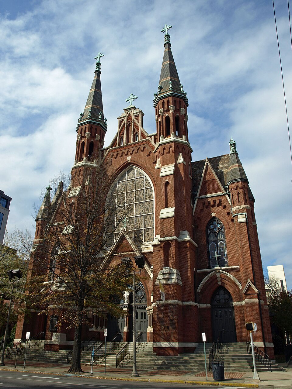
| July 2001 | Lightning | Birmingham | $150,000 | Lightning was believed the cause of a fire at St. Francis Xavier Church off Montclair Road in Birmingham. A lightning bolt apparently struck the church at 6:45 pm CDT during a wedding rehearsal starting the fire which went undetected for some minutes. One fire fighter was injured fighting the ensuing fire which did signifcant damage to the church building. |
| February 2004 | Flash Flood | Birmingham | $150,000 | no account filed |
| January 1996 | Flash Flood | Birmingham | $75,000 | no account filed |
| April 1996 | Tornado (F0) | Birmingham | $75,000 | no account filed |
| May 2003 | Lightning | Birmingham | $60,000 | Lightning was believed responsible for two house fires according to the Birmingham Fire and Rescue Service. A two-story house on Sixth Avenue was struck causing the second story to burn. On Brewster Circle, a lightning strike to the back door of a house caused minor fire damage. |
| April 1994 | Thunderstorm Wind | Birmingham | $50,000 | Trees and power lines were reported down in the Cahaba Heights section of Birmingham. |
| June 1998 | Thunderstorm Wind | Birmingham | $45,000 | Trees and power lines were down in numerous area in Birmingham. About 13,000 homes were without power, in the western part of the city. |
| August 2001 | Flash Flood | Birmingham | $40,000 | Very heavy rain in a short period of time flooded several locations in the city of Birmingham. Several roads were temporarily impassable in Hoover and Birmingham. An automobile dealership, Med Center Mazda, reported several vehicles underwater and severely damaged. |
| June 1998 | Thunderstorm Wind | Birmingham | $40,000 | no account filed |
| July 1996 | Thunderstorm Wind | Birmingham | $20,000 | no account filed |
| March 2000 | Flash Flood | Birmingham | $15,000 | Radar and newspaper estimated that two to four inches of rain fell in a short period of time in the Birmingham area. Shades Creek was reported out of its banks and flooding. Several roads throughout the city of Birmingham were temporarily impassable. Several roads in Pinson were also flooded and a few homes had a small amount of water in them. A tree fell on a home in Ensley seriously damaging it. The tree fell due to the saturated ground conditions. |
| June 1999 | Flash Flood | Birmingham | $15,000 | Heavy rainfall, two to three inches in just over one hour, caused many underpasses throughout the city of Birmingham to be flooded. Most of the locations were flood prone areas that have slight drainage problems. Several vehicles were flooded in several feet of water and were subsequently stranded in the high water. No injuries were reported. At the University of Alabama at Birmingham, the lowest level of the Hill University Center was flooded. This is mainly a drainage problem but several feet of water entered the building. |
| July 1996 | Thunderstorm Wind | Birmingham | $15,000 | no account filed |
| March 1996 | Hail | Birmingham | $15,000 | no account filed |
| June 2005 | Flash Flood | Birmingham | $14,000 | Finley Boulevard, 28th Street, 30th Street, Messer Airport Highway and 43rd Avenue were flooded and temporarily impassable. Several vehicles were submerged in the high water. |
| May 1996 | Thunderstorm Wind | Birmingham | $12,000 | no account filed |
| July 2006 | Thunderstorm Wind | Birmingham | $10,000 | The roof was blown off a building, and powerlines were blown down, at 27th Avenue and 4th Avenue South. |
| May 1997 | Thunderstorm Wind | Birmingham | $10,000 | Several trees were blown down and windows were blown out at the Bell South building downtown. |
| April 1995 | Thunderstorm Wind | Birmingham | $10,000 | A wind gust to 60 mph was reported by a television station located on Red Mountain overlooking downtown Birmingham. The local emergency management office reported trees and power lines down around the city and county. In Irondale, the roof was blown off an electronics store. In Fairfield, numerous buildings sustained minor damage in the Fairfield Heights and Rutledge Hills areas. Glass doors were blown out and skylights were damaged at Western Hills Mall. A tree reportedly fell on a car in Ketona and the occupant was briefly trapped. Alabama Power reported 38,400 people were without power at one point. In Ensley, a man died in a house fire that apparently started when candles were used while the electricity was out. In the Leeds area, a woman was briefly trapped in her house when a tree fell on it. |
| May 1996 | Hail | Birmingham | $10,000 | no account filed |
| May 1996 | Hail | Birmingham | $10,000 | no account filed |
| May 1996 | Hail | Birmingham | $10,000 | no account filed |
| August 1996 | Hail | Birmingham | $10,000 | no account filed |
| April 2002 | Thunderstorm Wind | Birmingham | $8,000 | A few trees were knocked down and one of these trees landed on a house in north Birmingham. No injuries were reported. |
| July 2002 | Lightning | Birmingham | $8,000 | Thunderstorms produced frequent lightning across the Birmingham metropolitan area. Several power lines were knocked out across the city due to lightning strikes. |
| June 2005 | Flash Flood | Birmingham | $7,000 | Excessive street flooding was reported near the University of Alabama at Birmingham. A few roads were temporarily impassable. |
| November 2003 | Thunderstorm Wind | Birmingham | $6,000 | Windows were blown out at the 1st Commercial Bank and at Southtrust Bank. Trees were blown down near the intersection of Parkway East and Gadsden Highway. NWS Storm Survey |
| June 2006 | Thunderstorm Wind | Birmingham | $5,000 | Wind damage was reported at Crestwood and 48th, in Birmingham. |
| December 2000 | Hail | Birmingham | $5,000 | Golf ball size hail was reported in downtown Birmingham. |
| July 1998 | Thunderstorm Wind | Birmingham | $5,000 | About 3000 residents lost power after power lines were knocked down. |
| June 1994 | Thunderstorm Wind | Birmingham | $5,000 | Trees and power lines were downed by thunderstorm wind in Hueytown. WBRC-TV Channel 6 reported wind gust to 55 mph at their studio on top of Red Mountain in Birmingham. Lightning struck the Warrior City Hall damaging telephone and radio equipment. |
| February 2006 | Thunderstorm Wind | Birmingham | $4,000 | A carport was blown across a residential yard and sustained significant damage in the Edgewater Community. |
| July 2002 | Flash Flood | Birmingham | $4,000 | Heavy rainfall in a short period of time caused some flooding in the Birmingham Metropolitan area. Several roads were temporarily impassable due to the high water. |
| April 1998 | Hail | Birmingham | $4,000 | Golf ball size hail was reported along Beacon Parkway on Red Mountain. |
| July 1997 | Thunderstorm Wind | Birmingham | $4,000 | Trees were reported down along 4th Avenue South in the Birmingham area. |
| July 2006 | Thunderstorm Wind | Birmingham | $3,000 | A tree was blown down onto a car, on 21st Avenue North, and another tree was blown down on the 2300 block of 5th Avenue North. |
| August 2004 | Flash Flood | Birmingham | $3,000 | Several roads were flooded and temporarily impassable across the Birmingham Metropolitan area. |
| May 2005 | Thunderstorm Wind | Birmingham | $3,000 | no account filed |
| January 2001 | Thunderstorm Wind | Birmingham | $2,000 | Trees and power lines were knocked down on 4th Avenue South. |
| April 2000 | Hail | Birmingham | $2,000 | Dime to nickel size hail was observed on Ruffner Mountain. Quarter size hail was reported near Eastwood Mall. |
| August 2000 | Thunderstorm Wind | Birmingham | $2,000 | no account filed |
| July 2006 | Thunderstorm Wind | Birmingham | $1,000 | Trees were blown down on Monroe Street, blocking the road. |
| August 2005 | Hail | Birmingham | $1,000 | Penny size hail fell sporadically for at least 10 minutes in Vestavia Hills. |
| May 2025 | Thunderstorm Wind | East Birmingham | - | Several trees were downed in the Eastlake area, including along 66th St S. |
| September 2024 | Flash Flood | North Birmingham | - | Multiple water rescues in vehicles occurred overnight in Birmingham following heavy rainfall that led to flash flooding. Several roadways in neighborhoods on the west side of downtown Birmingham were flooded, resulting in several calls concerning vehicles stranded in water. Interstate 59/20 was briefly flooded near Arkadelphia Rd. Village Creek and Valley Creek also quickly rose into Flood Stage between midnight and 2 am. A couple reports were received on the east side of downtown near the airport as well, notably along Appalachee St and Messer Airport Highway. |
| May 2017 | Flash Flood | East Birmingham | - | Several water rescues performed by the Birmingham Fire Department along 1st Avenue North. Roadways flooded along Village Creek at Avenue W and Five Mile Creek at Ketona. |
| February 2006 | Heavy Rain | Birmingham | - | Rainfall measured at the Birmingham International Airport was 3.42 inches. This rain amount established a new daily record rainfall for Birmingham. The previous record was 2.24 inches set in 1988. |
| February 2006 | Hail | Birmingham | - | Penny size hail was reported in North Birmingham. |
| April 2006 | Hail | Birmingham | - | Reported near Finley Blvd. and 29th Street. |
| April 2006 | Hail | Birmingham | - | Reported one mile west of Avondale Park. |
| April 2006 | Hail | Birmingham | - | Reported in Crestwood area. |
 Block