 Block
Bear, Arkansas
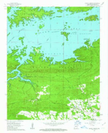
15 topographic sheets cover this place, the earliest surveyed in 1890 and the latest in 1982. It stands in Hale Township. It lies in ZIP code area 71968. It stands on Rouse Creek. The Survey maps it on the Crystal Springs quadrangle.
On record in Bear
Buildings and businesses the archive holds for this place. Each opens its own page, with the source record it came from.
On the National Register 1 record
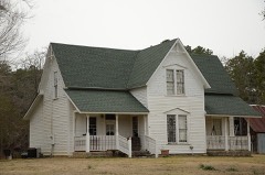 Harley E. Green Houselisted 1979
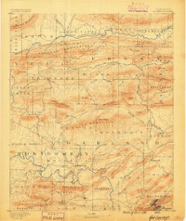
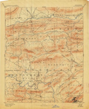
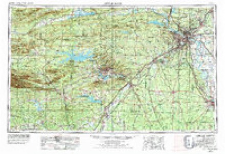
Topographic sheets covering this place
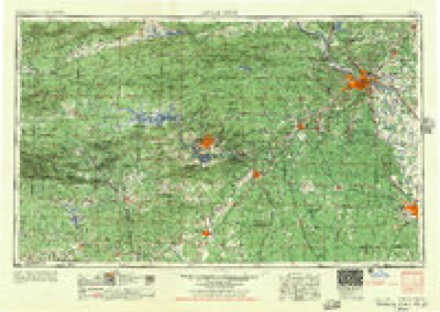
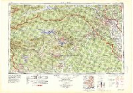
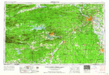
8 surveys from 15 printed sheetsMatched by testing this settlement's coordinate against the published boundary of every sheet in the United States Geological Survey's historical collection. Each opens the scanned sheet at the Survey.
- 1890 USGS Hot Springs quadrangle1:125000
- 1894 USGS Hot Springs quadrangle1:125000, 5 printings
- 1955 USGS Little Rock quadrangle1:250000
- 1956 USGS Little Rock quadrangle1:250000
- 1960 USGS Little Rock quadrangle1:250000
- 1962 USGS Crystal Springs quadrangle1:24000, 4 printings
- 1964 USGS Little Rock quadrangle1:250000
- 1982 USGS Lake Ouachita quadrangle1:100000
Fires near this place
92 since 1992Regional context, not property-specific evidence. The federal wildfire occurrence database lists 92 fires within 5 miles of Bear between 1992 and 2019, burning about 689 acres in total. 5 started naturally. 22 were recorded as arson. Distance is straight-line from the map coordinates, so a fire counted here may appear on a neighbouring settlement's page as well.
| Reported cause | Fires |
|---|---|
| Debris and open burning | 37 |
| Arson/incendiarism | 22 |
| Missing data/not specified/undetermined | 10 |
| Recreation and ceremony | 5 |
| Natural | 5 |
| Equipment and vehicle use | 4 |
| Fireworks | 4 |
| Power generation/transmission/distribution | 3 |
| Smoking | 2 |
The most recent of them, most recent first, with the day each was reported and the service that recorded it.
| Date | Cause | Size | Reported by | Name on the report |
|---|---|---|---|---|
| 8 September 2011 | Arson/incendiarism | 8.0 acres | Arkansas Forestry Commission | not named |
| 7 September 2012 | Debris and open burning | 1.0 acres | Arkansas Forestry Commission | not named |
| 7 September 1999 | Debris and open burning | 1.0 acres | Arkansas Forestry Commission | not named |
| 5 September 1997 | Debris and open burning | 2.0 acres | Arkansas Forestry Commission | not named |
| 29 September 2001 | Missing data/not specified/undetermined | 1.5 acres | Ouachita National Forest | BEAR RIFLE RANGE |
| 28 September 1999 | Arson/incendiarism | 2.0 acres | Arkansas Forestry Commission | not named |
| 27 September 2011 | Debris and open burning | 1.0 acres | Arkansas Forestry Commission | not named |
| 21 September 2011 | Debris and open burning | 2.0 acres | Arkansas Forestry Commission | not named |
Settlements close enough to share some of these fires:
Mines and quarries near this place
6 within 5 milesRegional context, not property-specific evidence. The federal mineral resources record lists 6 workings within 5 miles of Bear: 4 past producers, 2 producers. 2 still produce. What was taken out: Slate, Dimension, Sand and Gravel, Construction, Clay, Stone, Crushed/Broken. Distance is straight-line from the map coordinates, so a quarry counted here may appear on a neighbouring settlement's page as well.
Storms near this place
13 since 2005Regional context, not property-specific evidence. The National Weather Service names Bear in 13 storm reports between 2005 and 2024: 4 thunderstorm wind, 4 hail, 3 lightning, 1 tornado. The reports record 1 injury. Each account below is quoted exactly as the forecast office filed it, from the NOAA Storm Events Database, and each date opens the federal record of that event.
| When | Event | Place named | Harm | What the report says |
|---|---|---|---|---|
| November 2019 | Lightning | Bear | 1 hurt, $75,000 | A woman, 61 years old, in Royal, was burned by a lightning strike and airlifted to a Memphis hospital due to bad weather in the Little Rock area. Her trailer caught fire from the lightning strike and she suffered burns to her hands and feet. |
| June 2008 | Thunderstorm Wind | Bear | $100,000 | Trees were down. At least one tree fell on a house. Power lines blocked some roads. |
| July 2013 | Lightning | Bear | $40,000 | Lightning struck a mobile home near Royal, starting a fire. The home suffered considerable damage. |
| April 2012 | Lightning | Bear | $25,000 | Lightning struck a house, setting a fire. The siding, roof line, and electrical wiring were damaged, and the house was filled with smoke. |
| August 2010 | Thunderstorm Wind | Bear | $20,000 | Trees and power lines were blown down, with some of them blocking roads. Some outbuildings had tin peeled off their roofs. An empty 53-foot trailer had its roof peeled off and was blown over. A billboard was blown down. |
| February 2024 | Hail | Bear | - | An mPING report was received. |
| February 2023 | Flash Flood | Bear | - | A Ham Radio operator reported that Brady Mountain Rd. was covered by water and impassable from overflow from Bear Creek. |
| June 2023 | Hail | Bear | - | Baseball sized hail fell near Royal via mPING. |
| May 2022 | Hail | Bear | - | This was an mPING report. |
| May 2021 | Thunderstorm Wind | Bear | - | A tree was blown down on Highway 270. |
| March 2017 | Thunderstorm Wind | Bear | - | Large trees were uprooted and snapped. |
| November 2005 | Tornado (F1) | Bear | - | A weak tornado touched down briefly about 2 miles north of the town of Bear. Winds were estimated to be around 80 mph. It appears the tornado formed on a slope leading down to Lake Ouachita. Damage along the path of the tornado consisted of uprooted and snapped trees along a hillside, with boat docks pushed outward away from shore. The pushing caused the dock moorings, which are normally vertical, to lean. The tornado likely went into Lake Ouachita as a waterspout for a brief period of time before dissipating about 3 miles north-northeast of Bear. |
| August 2010 | Hail | Bear | - | no account filed |
Nearest settlements
The eight closest, with where each one stands in the county. Distances are straight-line, computed from the Geographic Names Information System coordinates.
| Map | Place | Distance | Sheets |
|---|---|---|---|
| Royal | 2.4 miles | 13 | |
| Maddox | 3.3 miles | 8 | |
| Crystal Springs | 3.4 miles | 15 | |
| Sunshine | 4.6 miles | 8 | |
| Crystal Springs Landing | 4.7 miles | 15 | |
| Chandler | 4.9 miles | 8 | |
| Cedar Glades (historical) | 5.5 miles | 15 | |
| Mountain Pine | 5.9 miles | 13 |
Provenance
This settlement is recorded in the Geographic Names Information System as feature 76263. The sheet list is computed by point-in-boundary test against the United States Geological Survey's historical topographic inventory. Both are works of the United States government and carry no copyright under 17 U.S.C. 105.
Wildfire. Short, Karen C. 2022. Spatial wildfire occurrence data for the United States, 1992-2020 [FPA_FOD_20221014]. 6th Edition. Fort Collins, CO: Forest Service Research Data Archive. https://doi.org/10.2737/RDS-2013-0009.6 Collected with United States Government funding and usable without additional permissions or fees.
Mines and quarries. USGS Mineral Resources Data System (MRDS) https://mrdata.usgs.gov/mrds/ A work of the United States government, no copyright under 17 U.S.C. 105.
Storms. NOAA National Centers for Environmental Information, Storm Events Database https://www.ncei.noaa.gov/stormevents/ A work of the United States government, no copyright under 17 U.S.C. 105. Narratives are quoted verbatim from the National Weather Service report and are not edited or summarised.