 Block
Bellefonte, Arkansas
13 topographic sheets cover this place, the earliest surveyed in 1904 and the latest in 1985. It stands in Bellefonte Township. It lies in ZIP code area 72601. It stands on Brush Creek. The Survey maps it on the Harrison quadrangle. 411 people lived here at the 2020 count. It stands 1,060 feet above sea level.
On record in Bellefonte
Buildings and businesses the archive holds for this place. Each opens its own page, with the source record it came from.
On the National Register 1 record
- Missouri and North Arkansas Depot-Bellefontelisted 1992
Topographic sheets covering this place
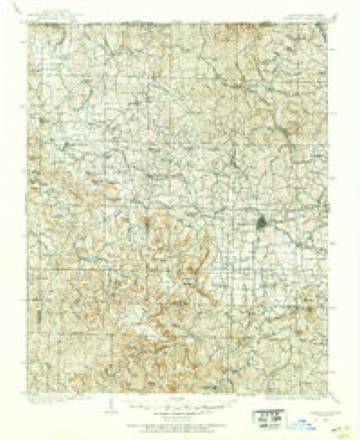
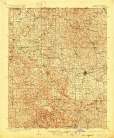
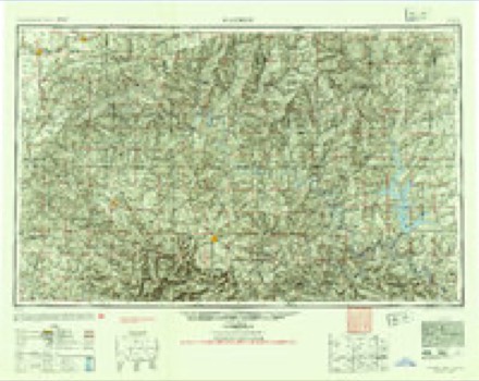
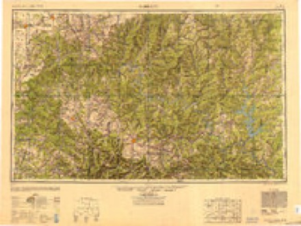
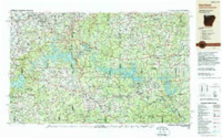
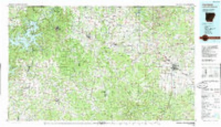
10 surveys from 13 printed sheetsMatched by testing this settlement's coordinate against the published boundary of every sheet in the United States Geological Survey's historical collection. Each opens the scanned sheet at the Survey.
- 1904 USGS Harrison quadrangle1:125000
- 1905 USGS Harrison quadrangle1:125000, 3 printings
- 1945 USGS Harrison quadrangle1:250000
- 1949 USGS Harrison quadrangle1:250000
- 1954 USGS Harrison quadrangle1:250000
- 1958 USGS Harrison quadrangle1:250000
- 1964 USGS Harrison quadrangle1:250000
- 1967 USGS Harrison quadrangle1:24000, 2 printings
- 1985 USGS Harrison quadrangle1:250000
- 1985 USGS Harrison quadrangle1:100000
Fires near this place
39 since 1997Regional context, not property-specific evidence. The federal wildfire occurrence database lists 39 fires within 5 miles of Bellefonte between 1997 and 2020, burning about 565 acres in total. 1 started naturally. 7 were recorded as arson. Distance is straight-line from the map coordinates, so a fire counted here may appear on a neighbouring settlement's page as well.
| Reported cause | Fires |
|---|---|
| Missing data/not specified/undetermined | 13 |
| Debris and open burning | 10 |
| Arson/incendiarism | 7 |
| Smoking | 4 |
| Equipment and vehicle use | 3 |
| Recreation and ceremony | 1 |
| Natural | 1 |
The most recent of them, most recent first, with the day each was reported and the service that recorded it.
| Date | Cause | Size | Reported by | Name on the report |
|---|---|---|---|---|
| 7 September 2000 | Missing data/not specified/undetermined | 1.0 acres | Arkansas Forestry Commission | not named |
| 19 September 2000 | Missing data/not specified/undetermined | 40 acres | Arkansas Forestry Commission | not named |
| 5 August 1997 | Natural | 16 acres | Arkansas Forestry Commission | not named |
| 3 August 2006 | Smoking | 1.0 acres | Arkansas Forestry Commission | not named |
| 29 August 2012 | Arson/incendiarism | 20 acres | Arkansas Forestry Commission | not named |
| 30 July 2012 | Debris and open burning | 1.0 acres | Arkansas Forestry Commission | not named |
| 30 July 2012 | Equipment and vehicle use | 1.0 acres | Arkansas Forestry Commission | not named |
| 25 July 2005 | Equipment and vehicle use | 3.0 acres | Arkansas Forestry Commission | not named |
Settlements close enough to share some of these fires:
Mines and quarries near this place
10 of 16 shownRegional context, not property-specific evidence. The federal mineral resources record lists 16 workings within 5 miles of Bellefonte: 6 unknowns, 6 past producers, 3 producers, 1 occurrence. 3 still produce. What was taken out: Stone, Crushed/Broken, Sand and Gravel, Construction, Lead, Zinc. Distance is straight-line from the map coordinates, so a quarry counted here may appear on a neighbouring settlement's page as well.
| Where | Site | Commodity | Status | Recorded |
|---|---|---|---|---|
| Briscoe Prospect | Zinc | Occurrence | ||
| Walter Mine | Zinc | Past Producer | ||
| Denison Mine | Lead | Past Producer | ||
| Halliday Mine | Lead | Past Producer | ||
| Harrison Smeltin & Refining Co. | Lead | Past Producer | ||
| Mc Clinton Pit & Plant | Sand and Gravel, Construction | Producer | ||
| Mcentire Pit | Sand and Gravel, Construction | Producer | ||
| Starkey Mine | Lead | Past Producer | ||
| Unknown Gravel Pit | Sand and Gravel, Construction | Unknown | ||
| Unknown Gravel Pit | Sand and Gravel, Construction | Unknown |
Storms near this place
14 since 1998Regional context, not property-specific evidence. The National Weather Service names Bellefonte in 14 storm reports between 1998 and 2024: 7 hail, 4 thunderstorm wind, 2 tornado, 1 flash flood. The reports record 1 death and 2 injuries. Each account below is quoted exactly as the forecast office filed it, from the NOAA Storm Events Database, and each date opens the federal record of that event.
| When | Event | Place named | Harm | What the report says |
|---|---|---|---|---|
| May 2024 | Tornado (EF3) | Bellefonte | 1 killed, 1 hurt | The Boone-Marion County tornado began just to the west of Bellefonte Road, near|the intersection of Maxie Camp Road in Boone County, damaging|trees and a few power poles as it crossed the road. A few homes|sustained some damage, mainly to their roofs and the southern and|southeastern exterior walls. A hay barn was also completely|destroyed. The tornado then kept moving east into an open field,|snapping trees in its path and along Maxie Camp Road. The tornado|crossed US Highway 65, moving over the Boone County Sheriff's|Department Building and an Arkansas State Police Troop Center.|The two buildings sustained very minor damage, mainly consisting|of missing shingles and bent light poles. A loaded trailer of the|Boone County Sheriff's Department was lofted onto a gate, and|then further tossed onto an Arkansas State Patrol car, both|sustaining major damage. Just east of the highway, a storage unit|complex sustained damage to all three of its storage buildings,|and an RV was flipped on its side. Another business building|behind the storage units only sustained damage to glass windows|and a broken garage door. Just to the south of the storage|complex, another large metal building with multiple bay doors|facing the prevailing tornado forward speed winds was badly|damaged, with most walls collapsed. The tornado kept moving east,|expanding in width, and snapping trees and power poles along|Maxie Camp Road. As the tornado approached the intersection of|Maxie Camp and Starkey Road, a mobile home was completely lofted|and destroyed. Extensive tree damage was observed all along the|north-south portion of Maxie Camp Road. A couple homes, one with|a CMU footprint and the other with a partial concrete pad and|open crawlspace concrete footing were completely lifted off of|their bases and destroyed, with below code anchoring methods|found on both of these homes. Trees in the immediate vicinity of|the destroyed homes were snapped, and a large pickup truck was|rolled onto its roof. This was the location of the worst observed|structural damage, consistent with EF3 wind speeds of up to|145 mph. A resident of one of the destroyed homes sustained non-|life-threatening injuries. The tornado then started to move due|northeast, paralleling US Highway 62, moving just southeast of|Olvey, and causing mainly tree damage and damaging small|outbuildings. Boone County Sheriff's Department reported one|fatality in Boone County inside a destroyed mobile home, near the|Olvey area. This tornado then exited Boone County and entered Marion County. |
| April 2017 | Tornado (EF1) | Bellefonte | 1 hurt, $400,000 | A tornado moved near/through the town of Bellefonte. A couple homes sustained significant damage. A chandelier fell on a woman in the first house impacted by the tornado, resulting in a head injury and a hospital visit. She is expected to have a full recovery. Subsequent damage included damage to outbuildings and several trees uprooted. |
| April 2017 | Thunderstorm Wind | Bellefonte | $20,000 | Trees and power lines were blown down, blocking parts of Highway 65. One house sustained structural damage. |
| April 2017 | Thunderstorm Wind | Bellefonte | - | A tree was blown down across Highway 62. |
| September 2014 | Hail | Bellefonte | - | Hail 2 inches in diameter fell at the intersection of U.S. 65 and U.S. 62/412 on the southeast side of Harrison. |
| June 2008 | Flash Flood | Bellefonte | - | Street flooding occurred in Harrison. Several vehicles were stranded in high water. |
| March 2015 | Hail | Bellefonte | - | no account filed |
| April 2011 | Hail | Bellefonte | - | no account filed |
| April 2007 | Hail | Bellefonte | - | no account filed |
| June 2004 | Hail | Bellefonte | - | no account filed |
| June 2001 | Hail | Bellefonte | - | no account filed |
| May 2000 | Thunderstorm Wind | Bellefonte | - | no account filed |
| August 1998 | Hail | Bellefonte | - | no account filed |
| November 1998 | Thunderstorm Wind | Bellefonte | - | no account filed |
Nearest settlements
The eight closest, with where each one stands in the county. Distances are straight-line, computed from the Geographic Names Information System coordinates.
| Map | Place | Distance | Sheets |
|---|---|---|---|
| Mount Pleasant (historical) | 1.5 miles | 13 | |
| Chapman | 2.1 miles | 13 | |
| Pedlo (historical) | 3.2 miles | 16 | |
| Harrison | 3.7 miles | 13 | |
| Valley Springs | 4.2 miles | 16 | |
| Watkins (historical) | 4.4 miles | 13 | |
| Olvey | 4.4 miles | 16 | |
| Elmwood | 4.9 miles | 13 |
Elsewhere
Matched on this settlement's Geographic Names Information System number rather than its name, so it cannot be a different place of the same name in another state.
| Wikipedia article on Bellefonte | An encyclopaedic summary. Its text is share-alike, so it is linked here rather than copied. |
| Wikidata item Q613154 | The structured record the population and elevation above come from. Public domain (CC0). |
Provenance
This settlement is recorded in the Geographic Names Information System as feature 76293. The sheet list is computed by point-in-boundary test against the United States Geological Survey's historical topographic inventory. Both are works of the United States government and carry no copyright under 17 U.S.C. 105.
Wildfire. Short, Karen C. 2022. Spatial wildfire occurrence data for the United States, 1992-2020 [FPA_FOD_20221014]. 6th Edition. Fort Collins, CO: Forest Service Research Data Archive. https://doi.org/10.2737/RDS-2013-0009.6 Collected with United States Government funding and usable without additional permissions or fees.
Mines and quarries. USGS Mineral Resources Data System (MRDS) https://mrdata.usgs.gov/mrds/ A work of the United States government, no copyright under 17 U.S.C. 105.
Storms. NOAA National Centers for Environmental Information, Storm Events Database https://www.ncei.noaa.gov/stormevents/ A work of the United States government, no copyright under 17 U.S.C. 105. Narratives are quoted verbatim from the National Weather Service report and are not edited or summarised.