 Block
Cabot, Arkansas
19 topographic sheets cover this place, the earliest surveyed in 1891 and the latest in 1994. It stands in York Township. It lies in ZIP code area 72023. The Survey maps it on the Cabot quadrangle. 26,569 people lived here at the 2020 count. It stands 299 feet above sea level.
Research this city
On record in Cabot
Buildings and businesses the archive holds for this place. Each opens its own page, with the source record it came from.
On the National Register 2 records
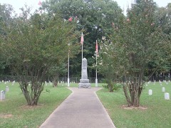 Camp Nelson Confederate Cemeterylisted 1996
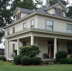 Dr. E.F. Utley Houselisted 1998
Population over time
2 figuresCabot grew from 23,776 to 26,569 between 2010 and 2020. These are the recorded population figures Wikidata holds for this place, reached through the Geographic Names Information System number this page is keyed on rather than by name, so they belong to this place and not to another of the same name. Most are census counts, but not all are: an early figure may be a founding or settlement estimate, and an estimate published within five years of a census is left out. The change column is computed, and is left blank where more than 20 years separate a figure from the one before it, because a gap that long is not a change between two counts.
| Year | People | Change |
|---|---|---|
| 2010 | 23,776 | |
| 2020 | 26,569 | +2,793 (+12%) |
Topographic sheets covering this place
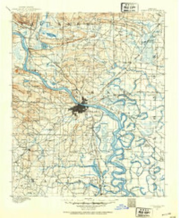
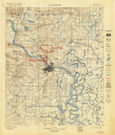
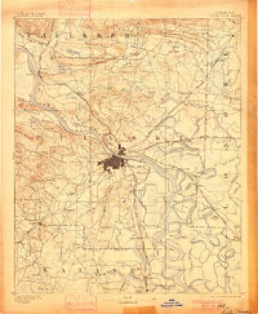
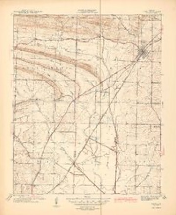
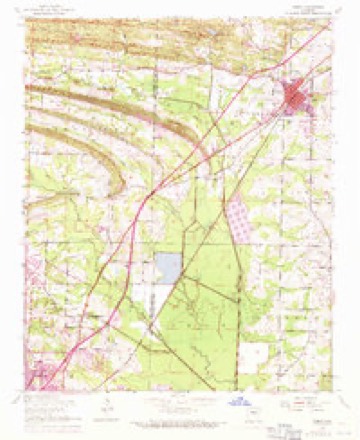
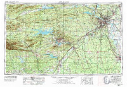
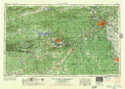
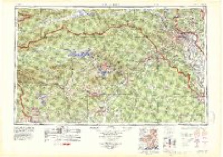
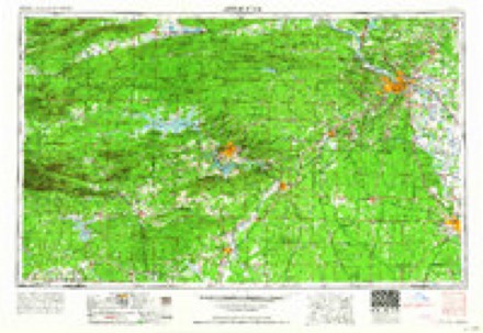
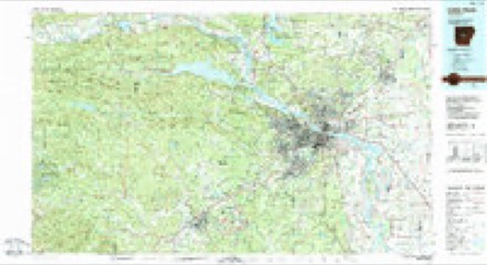
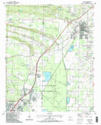
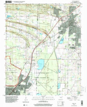
12 surveys from 19 printed sheetsMatched by testing this settlement's coordinate against the published boundary of every sheet in the United States Geological Survey's historical collection. Each opens the scanned sheet at the Survey.
- 1891 USGS Little Rock quadrangle1:125000
- 1893 USGS Camp Pike quadrangle1:125000
- 1893 USGS Little Rock quadrangle1:125000, 4 printings
- 1941 USGS Cabot quadrangle1:31680, 2 printings
- 1954 USGS Cabot quadrangle1:24000, 3 printings
- 1955 USGS Little Rock quadrangle1:250000
- 1956 USGS Little Rock quadrangle1:250000
- 1960 USGS Little Rock quadrangle1:250000
- 1964 USGS Little Rock quadrangle1:250000
- 1985 USGS Little Rock quadrangle1:100000
- 1987 USGS Cabot quadrangle1:24000, 2 printings
- 1994 USGS Cabot quadrangle1:24000
Fires near this place
57 since 2003Regional context, not property-specific evidence. The federal wildfire occurrence database lists 57 fires within 5 miles of Cabot between 2003 and 2017, burning about 1,472 acres in total. 5 started naturally. 29 were recorded as arson. Distance is straight-line from the map coordinates, so a fire counted here may appear on a neighbouring settlement's page as well.
| Reported cause | Fires |
|---|---|
| Arson/incendiarism | 29 |
| Debris and open burning | 18 |
| Natural | 5 |
| Missing data/not specified/undetermined | 3 |
| Smoking | 1 |
| Misuse of fire by a minor | 1 |
The most recent of them, most recent first, with the day each was reported and the service that recorded it.
| Date | Cause | Size | Reported by | Name on the report |
|---|---|---|---|---|
| 5 September 2011 | Debris and open burning | 5.0 acres | Arkansas Forestry Commission | not named |
| 23 September 2011 | Debris and open burning | 1.0 acres | Arkansas Forestry Commission | not named |
| 5 August 2008 | Debris and open burning | 1.0 acres | Arkansas Forestry Commission | not named |
| 4 August 2008 | Natural | 1.0 acres | Arkansas Forestry Commission | not named |
| 3 August 2008 | Natural | 7.0 acres | Arkansas Forestry Commission | not named |
| 31 July 2006 | Debris and open burning | 3.0 acres | Arkansas Forestry Commission | not named |
| 24 July 2006 | Arson/incendiarism | 6.0 acres | Arkansas Forestry Commission | not named |
| 12 July 2006 | Debris and open burning | 10 acres | Arkansas Forestry Commission | not named |
Settlements close enough to share some of these fires:
Mines and quarries near this place
5 within 5 milesRegional context, not property-specific evidence. The federal mineral resources record lists 5 workings within 5 miles of Cabot: 3 producers, 1 past producer, 1 occurrence. 3 still produce. What was taken out: Flagstone, Stone, Crushed/Broken, Aluminum. Distance is straight-line from the map coordinates, so a quarry counted here may appear on a neighbouring settlement's page as well.
| Where | Site | Commodity | Status | Recorded |
|---|---|---|---|---|
| Bauxite Exploration | Aluminum | Occurrence | Bauxite | |
| Cabot Quarry & Mill No. 1 | Stone, Crushed/Broken | Producer | ||
| Cabot Quarry & Mill No 2 | Flagstone | Producer | ||
| Cabot Quarry and Mill No 2 | Flagstone | Producer | ||
| Sheaffer Quarry | Flagstone | Past Producer |
Storms near this place
60 of 166 shownRegional context, not property-specific evidence. The National Weather Service names Cabot in 166 storm reports between 1993 and 2025: 65 thunderstorm wind, 64 hail, 17 flash flood, 9 tornado. No death or injury is recorded in these reports. Each account below is quoted exactly as the forecast office filed it, from the NOAA Storm Events Database, and each date opens the federal record of that event.
| When | Event | Place named | Harm | What the report says |
|---|---|---|---|---|
| April 2008 | Tornado (EF2) | Cabot | $2,000,000 | A tornado began southwest of Cabot and was most intense as it traveled through industrial and business areas on the west side of the railroad tracks in Cabot. Business structures destroyed included a self-storage warehouse and two storage buildings. A truck repair building was badly damaged, and two large warehouses also suffered damage. Several vehicles on a used-car lot were damaged when a large canopy fell. A canopy was damaged at a gas station, and there was roof damage to several businesses. To the east of the railroad tracks, numerous houses sustained roof damage, both in the middle of Cabot and on northeast through the Shiloh subdivision. A few houses and vehicles were damaged by falling trees. |
| June 1994 | Thunderstorm Wind | Cabot | $500,000 | Thunderstorm winds downed trees, some of which fell on houses. |
| September 2008 | Tornado (EF1) | Cabot | $300,000 | This tornado was spawned by Tropical Storm Ike. The tornado peeled the metal structure off a self-storage warehouse building. Although the items stored in the warehouse were left pretty much in place, heavy rain poured onto them, badly damaging them. The roofs of several apartment buildings were damaged. In some cases, holes in the roof were large enough to allow rainwater to fall into the apartments. Metal buildings at an abandoned lumber yard had strips to metal torn off and thrown onto neighboring properties. A medical supply company's roof was damaged and bay doors were blown in. The facade of a strip mall was damaged, and business signs at the strip mall were blown out. Fences were blown down, as were power poles, power lines, and several large trees. |
| May 2010 | Lightning | Cabot | $200,000 | Lightning struck a residence north-northwest of Cabot. The resulting fire destroyed the second floor of the house, and the first floor was heavily damaged by water. |
| April 2011 | Thunderstorm Wind | Cabot | $75,000 | Trees and power lines were blown down in Cabot. |
| April 2011 | Thunderstorm Wind | Cabot | $75,000 | Trees and power lines were blown down. |
| June 1994 | Thunderstorm Wind | Cabot | $50,000 | Thunderstorm winds downed trees and power lines. |
| August 2011 | Thunderstorm Wind | Cabot | $25,000 | Trees and power lines were blown down, causing power outages in Cabot. |
| September 2008 | Flash Flood | Cabot | $25,000 | High water was observed at a sand and gravel company on Arkansas Highway 321 near Cabot. |
| October 2017 | Thunderstorm Wind | Cabot | $10,000 | Several trees and fences were blown down by the wind. |
| July 2016 | Thunderstorm Wind | Cabot | $10,000 | Siding was blown off of several homes in Cabot from a thunderstorm wind gust. |
| July 2014 | Thunderstorm Wind | Cabot | $10,000 | Trees were blown down. |
| June 2008 | Thunderstorm Wind | Cabot | $10,000 | A water drain on the side of an apartment complex was damaged. Shingles and siding were blown off. |
| March 1997 | Tornado (F1) | Cabot | $10,000 | no account filed |
| July 2011 | Thunderstorm Wind | Cabot | $5,000 | A tree and a road sign were blown down, partially blocking U.S. 67/167 southbound. |
| June 1994 | Thunderstorm Wind | Cabot | $5,000 | Several trees were blown down. |
| September 1993 | Thunderstorm Wind | Cabot | $5,000 | Thunderstorm winds downed some power lines. |
| November 1993 | Thunderstorm Wind | Cabot | $5,000 | Thunderstorm winds downed several large trees. |
| November 1993 | Thunderstorm Wind | Cabot | $5,000 | Thunderstorm winds blew down some trees onto power lines. |
| August 2014 | Thunderstorm Wind | Cabot | $2,000 | Outdoor recreation equipment was damaged. |
| May 2015 | Thunderstorm Wind | Cabot | $1,000 | A large tree was snapped in half and some shingles were blown off a home due to the high winds. |
| October 2014 | Thunderstorm Wind | Cabot | $1,000 | Large limbs were blown down. |
| August 2010 | Flash Flood | Cabot | $1,000 | The intersection of Arkansas Highway 5 and U.S. Highway 67/167 flooded. |
| April 2025 | Flash Flood | Cabot | - | Roadway completely covered by flood waters near Cabot High School. |
| April 2025 | Flood | Cabot | - | Kerr Station Road in Cabot was covered by water in several locations. |
| April 2025 | Hail | Cabot | - | Quarter-sized hail fell in the city of Cabot. |
| April 2025 | Thunderstorm Wind | Cabot | - | Trees were blown down on a house and a fence was blown over near Cabot Community Park. |
| April 2024 | Thunderstorm Wind | Cabot | - | Several trees were blown over in the community of Cabot resulting in numerous power outages. |
| August 2024 | Hail | Cabot | - | Nickel sized hail fell in the community of Cabot. |
| August 2024 | Hail | Cabot | - | Quarter sized hail fell in the town of Cabot. |
| April 2023 | Heavy Rain | Cabot | - | Cabot received 3.00 inches of rain in a 24 hour period ending at 600 am CST. |
| June 2023 | Thunderstorm Wind | Cabot | - | A large part of a tree fell across a truck in Cabot. |
| June 2023 | Thunderstorm Wind | Cabot | - | Multiple trees and powerlines were blown down in Cabot. |
| June 2023 | Thunderstorm Wind | Cabot | - | Multiple trees were uprooted or snapped on the east side of Cabot. Additionally, multiple power poles were blown down. Metal roofing material was removed from a couple businesses in town and large sections of singles were removed from several businesses and homes. Some privacy fences were blown down and portions of fascia removed from a couple homes. |
| March 2023 | Flash Flood | Cabot | - | Numerous roads in Cabot were underwater. |
| October 2022 | Hail | Cabot | - | Several reports were received of nickel to quarter size hail across the city of Cabot. |
| April 2022 | Hail | Cabot | - | Two inch hail fell in Cabot. |
| November 2022 | Thunderstorm Wind | Cabot | - | Multiple trees were blown down in Cabot. |
| December 2021 | Flash Flood | Cabot | - | Roads were flooded in Cabot. |
| March 2020 | Hail | Cabot | - | Reports of dime to penny size hail came in from Cabot. The time was estimated from radar and reports were relayed via social media. |
| April 2020 | Thunderstorm Wind | Cabot | - | Large tree limbs were broken and power poles were down on Honeysuckle Lane. |
| April 2020 | Thunderstorm Wind | Cabot | - | Two large oak trees were blown down in The Meadows Addition. The time was estimated from radar. |
| April 2020 | Thunderstorm Wind | Cabot | - | A HAM radio operator reported a 65 mph wind gust. |
| June 2019 | Thunderstorm Wind | Cabot | - | Widespread trees were blown down in Cabot. |
| August 2019 | Flash Flood | Cabot | - | Water was over the road in the Greyhawk Addition. |
| October 2019 | Thunderstorm Wind | Cabot | - | A large branch was blown down onto East Myrtle St. |
| May 2019 | Flash Flood | Cabot | - | Street flooding was reported in Cabot. |
| February 2018 | Flood | Cabot | - | Peters Road Southwest of Cabot is mostly underwater. |
| November 2018 | Flash Flood | Cabot | - | Water was flowing over Campground Road southeast of Cabot. |
| June 2018 | Thunderstorm Wind | Cabot | - | A large diameter hardwood tree limb was snapped off. |
| September 2018 | Flash Flood | Cabot | - | Thunderbird Drive was flooded. A few houses had water in them. Diederich Lane going from hwy 321 to Campground Rd. was almost impassable due to high water. |
| September 2018 | Flash Flood | Cabot | - | Flash flooding was observed on Mount Tabor Rd. and in several other areas of northern Lonoke County. |
| September 2018 | Heavy Rain | Cabot | - | Rain measured 3.15 inches and fell in 3.5 hours from 7 pm to 1030 pm. |
| July 2018 | Flash Flood | Cabot | - | Portions of South Pine St. were flooded. |
| April 2017 | Thunderstorm Wind | Cabot | - | Trees and power lines were down in Cabot. |
| April 2017 | Heavy Rain | Cabot | - | The 24 hour rainfall total was 5.75 inches. |
| March 2017 | Thunderstorm Wind | Cabot | - | A large tree was down in Cabot. |
| October 2017 | Thunderstorm Wind | Cabot | - | Trees were down and awnings ripped up at various locations across the city. |
| March 2016 | Hail | Cabot | - | Quarter sized hail in Cabot. |
| March 2016 | Flash Flood | Cabot | - | Street flooding was reported in neighborhoods around the Mt. Tabor area of Cabot. |
Nearest settlements
The eight closest, with where each one stands in the county. Distances are straight-line, computed from the Geographic Names Information System coordinates.
| Map | Place | Distance | Sheets |
|---|---|---|---|
| Meadowlark Addition | 0.6 miles | 19 | |
| Glenwood Estates | 0.6 miles | 19 | |
| The Meadows Addition | 0.7 miles | 19 | |
| Crestwood | 0.8 miles | 19 | |
| Southbridge Addition | 0.8 miles | 19 | |
| Southside Addition | 0.9 miles | 19 | |
| Pheasant Run Addition | 1.1 miles | 19 | |
| Talbot Addition | 1.3 miles | 14 |
Elsewhere
Matched on this settlement's Geographic Names Information System number rather than its name, so it cannot be a different place of the same name in another state.
| Wikipedia article on Cabot | An encyclopaedic summary. Its text is share-alike, so it is linked here rather than copied. |
| Wikidata item Q79423 | The structured record the population and elevation above come from. Public domain (CC0). |
Provenance
This settlement is recorded in the Geographic Names Information System as feature 57487. The sheet list is computed by point-in-boundary test against the United States Geological Survey's historical topographic inventory. Both are works of the United States government and carry no copyright under 17 U.S.C. 105.
Wildfire. Short, Karen C. 2022. Spatial wildfire occurrence data for the United States, 1992-2020 [FPA_FOD_20221014]. 6th Edition. Fort Collins, CO: Forest Service Research Data Archive. https://doi.org/10.2737/RDS-2013-0009.6 Collected with United States Government funding and usable without additional permissions or fees.
Mines and quarries. USGS Mineral Resources Data System (MRDS) https://mrdata.usgs.gov/mrds/ A work of the United States government, no copyright under 17 U.S.C. 105.
Storms. NOAA National Centers for Environmental Information, Storm Events Database https://www.ncei.noaa.gov/stormevents/ A work of the United States government, no copyright under 17 U.S.C. 105. Narratives are quoted verbatim from the National Weather Service report and are not edited or summarised.