 Block
Coaldale, Arkansas
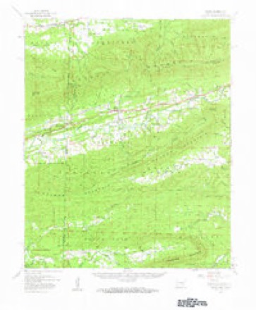
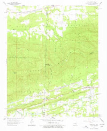
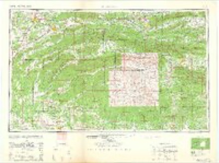
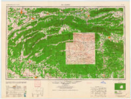
21 topographic sheets cover this place, the earliest surveyed in 1887 and the latest in 1989. It stands in District 3. It lies in ZIP code area 72958. It stands on Scott Branch. The Survey maps it on the Bates quadrangle.
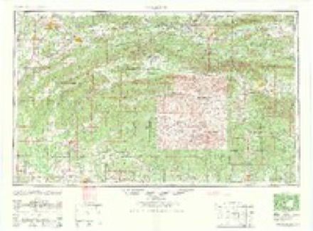
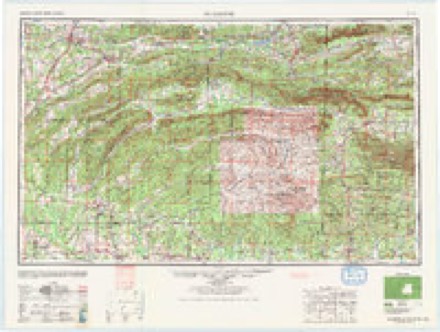
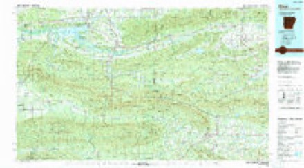
Topographic sheets covering this place
11 surveys from 21 printed sheetsMatched by testing this settlement's coordinate against the published boundary of every sheet in the United States Geological Survey's historical collection. Each opens the scanned sheet at the Survey.
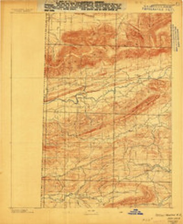
- 1887 USGS Poteau Mountain #2 quadrangle1:62500
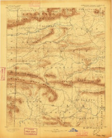
- 1890 USGS Poteau Mountain quadrangle1:125000, 2 printings
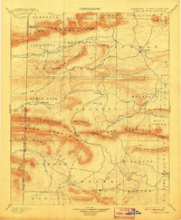
- 1899 USGS Poteau Mountain quadrangle1:125000, 6 printings
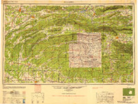
- 1950 USGS Mcalester quadrangle1:250000, 2 printings
- 1958 USGS Bates quadrangle1:62500
- 1958 USGS Bates quadrangle1:24000, 3 printings
- 1962 USGS Mc Alester quadrangle1:250000
- 1962 USGS McAlester quadrangle1:250000
- 1965 USGS Mc Alester quadrangle1:250000, 2 printings
- 1965 USGS McAlester quadrangle1:250000
- 1989 USGS Mena quadrangle1:100000
Fires near this place
65 since 1994Regional context, not property-specific evidence. The federal wildfire occurrence database lists 65 fires within 5 miles of Coaldale between 1994 and 2020, burning about 4,426 acres in total. 4 started naturally. 31 were recorded as arson. Distance is straight-line from the map coordinates, so a fire counted here may appear on a neighbouring settlement's page as well.
| Reported cause | Fires |
|---|---|
| Arson/incendiarism | 31 |
| Missing data/not specified/undetermined | 11 |
| Debris and open burning | 8 |
| Equipment and vehicle use | 6 |
| Natural | 4 |
| Smoking | 2 |
| Fireworks | 1 |
| Recreation and ceremony | 1 |
| Misuse of fire by a minor | 1 |
The most recent of them, most recent first, with the day each was reported and the service that recorded it.
| Date | Cause | Size | Reported by | Name on the report |
|---|---|---|---|---|
| 7 September 2017 | Missing data/not specified/undetermined | 2.0 acres | Arkansas Forestry Commission | not named |
| 5 September 2000 | Natural | 1,000 acres | Oklahoma Division of Forestry | COWSKIN CANYON |
| 28 September 2003 | Debris and open burning | 8.0 acres | Arkansas Forestry Commission | not named |
| 18 September 2005 | Debris and open burning | 6.0 acres | Arkansas Forestry Commission | not named |
| 11 September 1997 | Natural | 7.0 acres | Ouachita National Forest | BEECH |
| 9 August 2001 | Arson/incendiarism | 40 acres | Oklahoma Division of Forestry | not named |
| 3 August 2015 | Equipment and vehicle use | 5.0 acres | Arkansas Forestry Commission | not named |
| 25 August 1995 | Missing data/not specified/undetermined | under an acre | Oklahoma Division of Forestry | not named |
Settlements close enough to share some of these fires:
Storms near this place
9 since 2005Regional context, not property-specific evidence. The National Weather Service names Coaldale in 9 storm reports between 2005 and 2015: 7 flash flood, 1 thunderstorm wind, 1 flood. The reports record 5 deaths and 1 injury. Each account below is quoted exactly as the forecast office filed it, from the NOAA Storm Events Database, and each date opens the federal record of that event.
| When | Event | Place named | Harm | What the report says |
|---|---|---|---|---|
| May 2013 | Flash Flood | Coaldale | 5 killed, 1 hurt, $9,200,000 | Severe flash flooding occurred across a large part of Scott County. Soon after Midnight CDT on the 31st, two women called 911 after flooding from Mill Creek trapped them in their house at Y City. The Scott County Sheriff and a Wildlife Officer First Class from the Arkansas Game and Fish Commission responded to the call. According to the incident report by the Game and Fish Commission, the rescuers reached the house in an aluminum motorboat, removed one woman from the house and put here in their boat. As they were trying to rescue the second woman, the house collapsed due to the force of the floodwaters. The boat then capsized, drowning the three people in the boat, and the woman in the house also drowned. (The sheriff was a 41 year-old male, the wildlife officer was a 32 year-old male, and the women in the house were females 60 and 65 years old.) It took until June 2nd to recover the bodies of all the victims. Recovery operations were greatly hampered by another round of heavy rain and flooding on the morning of June 1st. Altogether, about 20 people had to be rescued from the flood waters. U.S. 71, the main north-south route through western Arkansas, flooded at Y City. The flooding caused a car to be washed off the highway and a 42 year-old woman in the car drowned. Her husband survived, but had to cling to the bank of a stream for 6 hours before being rescued. Several other cars were washed off roads, as well, but the motorists survived. Arkansas 28 was washed out at Little Cedar Creek (10 miles east of Y City), Big Cedar Creek (12 miles east of Y City), and the Fourche LaFave River (16.5 miles east of Y City). Numerous county roads and bridges were washed out. For the 24-hour period ending at 7 AM on the 31st, Parks measured 7.78 inches of rain and Waldron picked up 5.26 inches. Houses were flooded at a number of places, including Y City, Boles, and Parks. The American Red Cross indicated 7 houses and 15 mobile homes were destroyed, 9 houses and 4 mobile home had major damage, 13 houses and 3 mobile homes had minor damage, and 14 houses and 8 mobile homes were affected. A fiber optic cable was knocked out of service. As a result, there was no landline phone service, cell phone service, or internet service to most of the county for about 24 hours from the 30th into the 31st. |
| October 2009 | Flash Flood | Coaldale | $525,000 | Arkansas Highways 28 and 248 were flooded. A number of county roads were damaged by flash flooding. |
| November 2011 | Flash Flood | Coaldale | $400,000 | Several places on U.S. 71 and Arkansas 28 near Waldron flooded. Water was 4 feet deep at the intersection of U.S. 71 and Arkansas 378 at the Elm Park community. U.S. 71 also flooded a couple of miles north of Y City. Numerous county roads were under water. Several homes in Waldron were flooded and a mobile home west of Y City was washed off its foundation. A National Weather Service storm survey indicated virtually every creek had overflowed along Arkansas 28 from the Yell/Scott County line westward to U.S. 71. |
| March 2008 | Flash Flood | Coaldale | $250,000 | Several roads were under water throughout the county. The northbound lane of U.S. Highway 71 at the Scott/Sebastian county line was under water. Minor to major damage was reported to several homes in the Gibson area, and also in the communities of Hon, Cauthron, and Bates. |
| May 2011 | Flood | Coaldale | $250,000 | no account filed |
| May 2010 | Flash Flood | Coaldale | $200,000 | The county judge reported flooding throughout Scott County, with roads and bridges damaged. In Waldron, the cattle auction and a feed store were flooded. |
| June 2013 | Flash Flood | Coaldale | $15,000 | Numerous county roads were flooded. A car with four people inside was swept off a low-water crossing and washed into a creek. The people were able to get to high ground and were eventually rescued. A trained spotter 8 miles southeast of Waldron measured 2.50 inches of rain between 7:20 and 9:20 AM CDT on the 1st. Three-day rainfall totals for May 30th through June 1st included 10.29 inches at Parks and 7.92 inches at Waldron. |
| May 2015 | Flash Flood | Coaldale | $5,000 | Highway 28 was flooded, with a car submerged and the driver stranded. |
| May 2005 | Thunderstorm Wind | Coaldale | - | no account filed |
Nearest settlements
The eight closest, with where each one stands in the county. Distances are straight-line, computed from the Geographic Names Information System coordinates.
| Map | Place | Distance | Sheets |
|---|---|---|---|
| Weeks | 1.8 miles | 21 | |
| Gipson | 3.3 miles | 21 | |
| Bates | 3.4 miles | 21 | |
| Morgan Springs | 6.1 miles | 21 | |
| Puryear | 7.3 miles | 22 | |
| Brawley | 7.7 miles | 20 | |
| Cauthron | 8.2 miles | 21 | |
| Black Fork | 8.8 miles | 22 |
Provenance
This settlement is recorded in the Geographic Names Information System as feature 71177. The sheet list is computed by point-in-boundary test against the United States Geological Survey's historical topographic inventory. Both are works of the United States government and carry no copyright under 17 U.S.C. 105.
Wildfire. Short, Karen C. 2022. Spatial wildfire occurrence data for the United States, 1992-2020 [FPA_FOD_20221014]. 6th Edition. Fort Collins, CO: Forest Service Research Data Archive. https://doi.org/10.2737/RDS-2013-0009.6 Collected with United States Government funding and usable without additional permissions or fees.
Storms. NOAA National Centers for Environmental Information, Storm Events Database https://www.ncei.noaa.gov/stormevents/ A work of the United States government, no copyright under 17 U.S.C. 105. Narratives are quoted verbatim from the National Weather Service report and are not edited or summarised.