 Block
Douglasville, Arkansas
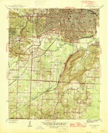
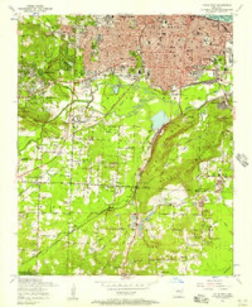
26 topographic sheets cover this place, the earliest surveyed in 1891 and the latest in 1994. It stands in Big Rock Township. It lies in ZIP code area 72204. It lies near Fourche Mountain. The Survey maps it on the Little Rock quadrangle.
On record in Douglasville
Buildings and businesses the archive holds for this place. Each opens its own page, with the source record it came from.
On the National Register within a mile 2 records
The National Register names another town for these. They stand within one mile of this settlement's coordinate.
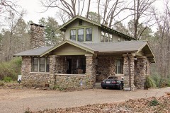 Matthews-Storey Houselisted 2015 · 0.7 miles away
 Boyle Parklisted 1995 · 0.9 miles away
Topographic sheets covering this place
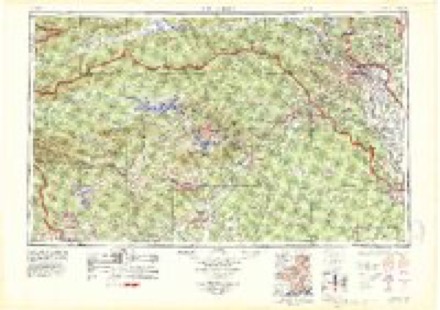
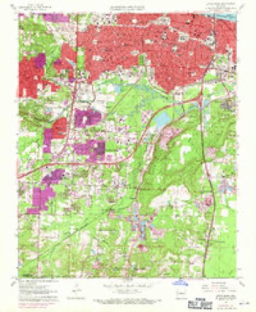
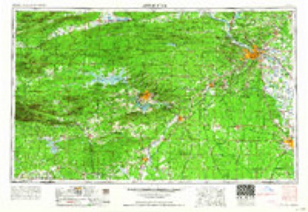
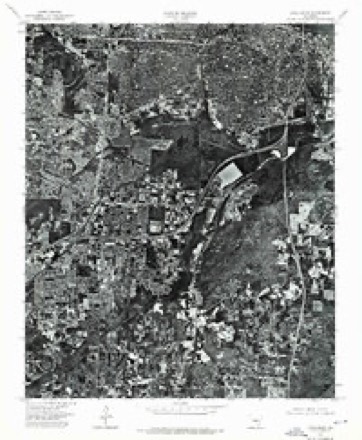
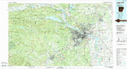
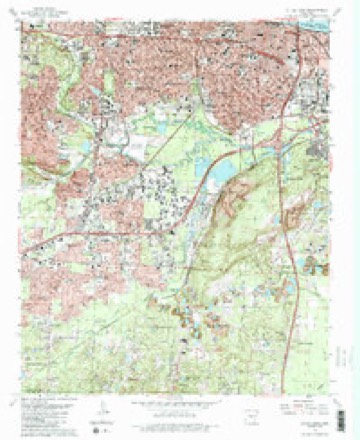
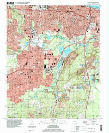
18 surveys from 26 printed sheetsMatched by testing this settlement's coordinate against the published boundary of every sheet in the United States Geological Survey's historical collection. Each opens the scanned sheet at the Survey.
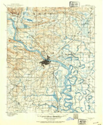
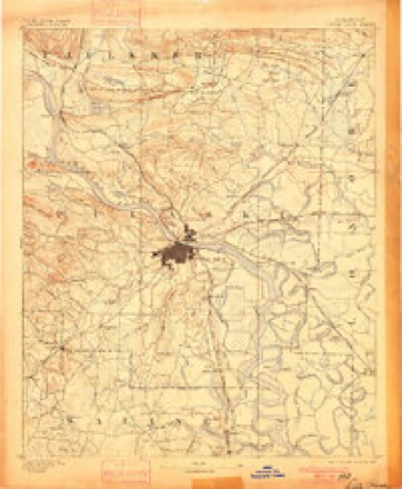
- 1891 USGS Little Rock quadrangle1:125000
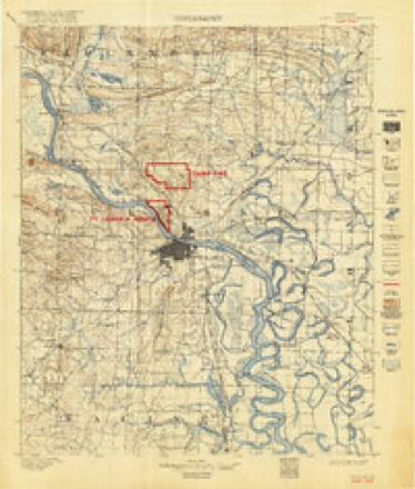
- 1893 USGS Camp Pike quadrangle1:125000
- 1893 USGS Little Rock quadrangle1:125000, 4 printings
- 1935 USGS Alexander quadrangle1:48000
- 1935 USGS Alexander quadrangle1:62500
- 1935 USGS Little Rock quadrangle1:24000
- 1941 USGS Alexander quadrangle1:62500, 2 printings
- 1944 USGS Little Rock quadrangle1:31680, 2 printings
- 1954 USGS Little Rock quadrangle1:24000
- 1955 USGS Little Rock quadrangle1:250000
- 1956 USGS Little Rock quadrangle1:250000
- 1960 USGS Little Rock quadrangle1:250000
- 1961 USGS Little Rock quadrangle1:24000, 3 printings
- 1964 USGS Little Rock quadrangle1:250000
- 1975 USGS Little Rock quadrangle1:24000
- 1985 USGS Little Rock quadrangle1:100000
- 1986 USGS Little Rock quadrangle1:24000, 2 printings
- 1994 USGS Little Rock quadrangle1:24000
Fires near this place
13 since 1998Regional context, not property-specific evidence. The federal wildfire occurrence database lists 13 fires within 5 miles of Douglasville between 1998 and 2017, burning about 95 acres in total. 2 started naturally. 2 were recorded as arson. Distance is straight-line from the map coordinates, so a fire counted here may appear on a neighbouring settlement's page as well.
| Reported cause | Fires |
|---|---|
| Debris and open burning | 5 |
| Natural | 2 |
| Arson/incendiarism | 2 |
| Missing data/not specified/undetermined | 2 |
| Misuse of fire by a minor | 1 |
| Recreation and ceremony | 1 |
The most recent of them, most recent first, with the day each was reported and the service that recorded it.
| Date | Cause | Size | Reported by | Name on the report |
|---|---|---|---|---|
| 23 September 2010 | Debris and open burning | 10 acres | Arkansas Forestry Commission | not named |
| 1 September 2007 | Arson/incendiarism | 20 acres | Arkansas Forestry Commission | not named |
| 28 August 1998 | Debris and open burning | 1.0 acres | Arkansas Forestry Commission | not named |
| 13 August 2015 | Debris and open burning | 3.0 acres | Arkansas Forestry Commission | not named |
| 13 August 2012 | Natural | 6.0 acres | Arkansas Forestry Commission | not named |
| 19 July 2012 | Natural | 2.0 acres | Arkansas Forestry Commission | not named |
| 1 June 2012 | Arson/incendiarism | 1.0 acres | Arkansas Forestry Commission | not named |
| 1 April 2003 | Debris and open burning | 40 acres | Arkansas Forestry Commission | not named |
Settlements close enough to share some of these fires:
Mines and quarries near this place
10 of 17 shownRegional context, not property-specific evidence. The federal mineral resources record lists 17 workings within 5 miles of Douglasville: 12 unknowns, 3 producers, 2 past producers. 3 still produce. What was taken out: Aluminum, Stone, Crushed/Broken, Slate, Dimension, Clay. Distance is straight-line from the map coordinates, so a quarry counted here may appear on a neighbouring settlement's page as well.
| Where | Site | Commodity | Status | Recorded |
|---|---|---|---|---|
| Arkansas Calcine Mill | Clay | Producer | ||
| No Name | Slate, Dimension | Unknown | ||
| Unknown S & G Pit | Sand and Gravel, Construction | Unknown | ||
| Arch Street Plant | Stone, Crushed/Broken | Producer | ||
| Arch Street Quarry | Stone, Crushed/Broken | Unknown | ||
| Little Rock Mill | Stone, Crushed/Broken | Producer | ||
| Pulaski County Rock Quarry | Stone, Crushed/Broken | Unknown | ||
| Unknown Quarry | Stone, Crushed/Broken | Unknown | ||
| Unknown Quarry | Stone, Crushed/Broken | Unknown | ||
| East Bauxite Area | Aluminum | Unknown |
Storms near this place
27 since 2007Regional context, not property-specific evidence. The National Weather Service names Douglasville in 27 storm reports between 2007 and 2024: 11 thunderstorm wind, 7 hail, 6 flash flood, 1 tornado. The reports record 1 injury. Each account below is quoted exactly as the forecast office filed it, from the NOAA Storm Events Database, and each date opens the federal record of that event.
| When | Event | Place named | Harm | What the report says |
|---|---|---|---|---|
| April 2008 | Tornado (EF1) | Douglasville | 1 hurt, $50,000,000 | A tornado began in the western part of Little Rock, just west of the intersection of Interstate 630 and John Barrow Rd. It traveled through the Leawood subdivision of Little Rock and the city of Cammack Village, dropped off a bluff into Murray Park, crossed the Arkansas River, and ended in North Little Rock near the soccer fields in Burns Park. The vast majority of damage from this tornado was due to large trees falling on houses and vehicles. The approximate count of houses included six destroyed, 98 with major damage, and 170 with minor damage. In addition, four businesses had major damage and three had minor damage. Eleven apartments also suffered damage. |
| October 2014 | Thunderstorm Wind | Douglasville | $100,000 | Numerous trees were blown down on the west side of Little Rock. Two businesses had sections of their roofs blown off. Power lines were blown down, knocking out power to several thousand electric customers. |
| July 2018 | Thunderstorm Wind | Douglasville | $50,000 | Several large trees were blown down and one was down on a house near Boyle Park. |
| August 2013 | Lightning | Douglasville | $50,000 | Lightning set fire to a house on Laurice Cir. in west Little Rock. The kitchen was destroyed and there was smoke damage throughout the house. The residents were home at the time but were not injured. |
| April 2014 | Thunderstorm Wind | Douglasville | $25,000 | Trees were blown down in the area of Boyle Park Rd. and Archwood Dr. in west Little Rock. One of the trees fell on a car. |
| May 2015 | Thunderstorm Wind | Douglasville | $10,000 | A tree fell on a home on Manor Avenue in Southwest Little Rock. |
| July 2024 | Flood | Douglasville | - | Water overflowing the roadway along Western Hills Drive on the western side of Little Rock. |
| April 2022 | Thunderstorm Wind | Douglasville | - | Trees were down on Elm St. in the Hillcrest area of Little Rock. |
| April 2022 | Thunderstorm Wind | Douglasville | - | Tree limbs were snapped and trees were uprooted on C Street in the Hillcrest part of Little Rock. |
| July 2022 | Thunderstorm Wind | Douglasville | - | Trees were blown down in several locations in west Little Rock and a few roads were blocked. |
| December 2021 | Flash Flood | Douglasville | - | Street flooding was reported in Little Rock. |
| April 2021 | Hail | Douglasville | - | Penny sized hail was observed in Little Rock. |
| July 2021 | Thunderstorm Wind | Douglasville | - | A social media report showed pictures of several trees down off Kanis Rd. in the Twin Lakes area. |
| January 2020 | Flash Flood | Douglasville | - | The fire department reported ongoing water rescues in the midtown area of Little Rock due to flash flooding. |
| April 2020 | Thunderstorm Wind | Douglasville | - | Multiple trees were blown down throughout Pulaski county. |
| October 2020 | Flash Flood | Douglasville | - | Several intersections were reported to be flooded in the downtown area. |
| June 2020 | Flash Flood | Douglasville | - | Minor street flooding occurred in parts of West Little Rock. |
| June 2020 | Hail | Douglasville | - | Quarter size hail was reported at Children's Hospital. |
| June 2020 | Hail | Douglasville | - | Golfball sized hail was reported at UAMS in downtown Little Rock. |
| April 2019 | Flash Flood | Douglasville | - | Several roads in Pulaski County have been reported as flooded including Highway 365 at King Rd., Highway 161 at Trammel Rd., Wayne Rd., JF Cooley Rd., Macarthur at Cedar Rd., Marche Rd., Arch and Baseline Rd., Jim Hall Rd., Kelly/Reed Rd., Crystal Hill/Kelly Rd., Lawson/Faulkner Rd., and Pratt Rd. |
| October 2019 | Thunderstorm Wind | Douglasville | - | A tree was downed in a yard on Tyler Street. |
| June 2018 | Thunderstorm Wind | Douglasville | - | Thunderstorm winds caused damage to some power lines, resulting in scattered power outages in Little Rock. |
| September 2018 | Flash Flood | Douglasville | - | Little Rock city police observed flash flooding on South University at St. Vincent, Kanis Rd. at Bowman Rd., and Cantrell Rd. in the Pleasant Ridge area. |
| March 2011 | Hail | Douglasville | - | Quarter size hail fell on John Barrow Rd. |
| April 2011 | Hail | Douglasville | - | no account filed |
| April 2011 | Hail | Douglasville | - | no account filed |
| April 2007 | Hail | Douglasville | - | no account filed |
Nearest settlements
The eight closest, with where each one stands in the county. Distances are straight-line, computed from the Geographic Names Information System coordinates.
| Map | Place | Distance | Sheets |
|---|---|---|---|
| Azalea Place | 0.4 miles | 26 | |
| Westwood | 0.8 miles | 26 | |
| Rosedale | 0.8 miles | 26 | |
| Meadowcliff | 1.3 miles | 26 | |
| Pecan Lake | 1.5 miles | 25 | |
| Westbrook | 1.5 miles | 25 | |
| Tall Timbers West | 1.5 miles | 25 | |
| Geyer Springs | 1.6 miles | 26 |
Provenance
This settlement is recorded in the Geographic Names Information System as feature 68199. The sheet list is computed by point-in-boundary test against the United States Geological Survey's historical topographic inventory. Both are works of the United States government and carry no copyright under 17 U.S.C. 105.
Wildfire. Short, Karen C. 2022. Spatial wildfire occurrence data for the United States, 1992-2020 [FPA_FOD_20221014]. 6th Edition. Fort Collins, CO: Forest Service Research Data Archive. https://doi.org/10.2737/RDS-2013-0009.6 Collected with United States Government funding and usable without additional permissions or fees.
Mines and quarries. USGS Mineral Resources Data System (MRDS) https://mrdata.usgs.gov/mrds/ A work of the United States government, no copyright under 17 U.S.C. 105.
Storms. NOAA National Centers for Environmental Information, Storm Events Database https://www.ncei.noaa.gov/stormevents/ A work of the United States government, no copyright under 17 U.S.C. 105. Narratives are quoted verbatim from the National Weather Service report and are not edited or summarised.