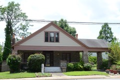
Block
From the record
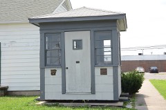
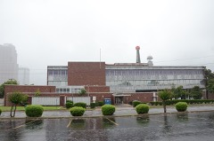
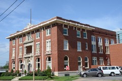
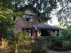
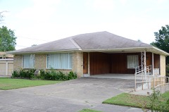
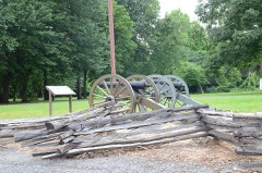
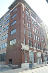
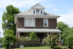
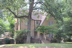
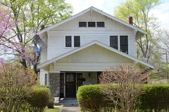
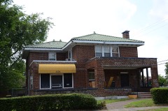
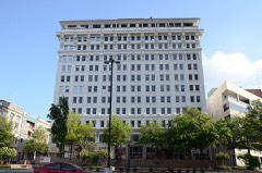
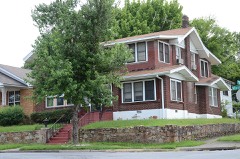
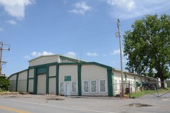
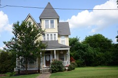
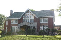
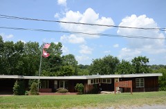
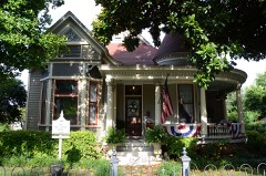
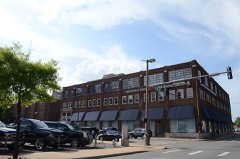
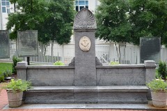
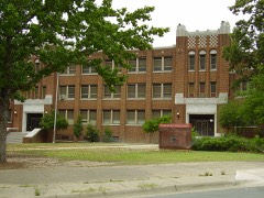
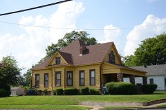
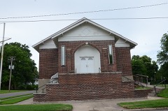
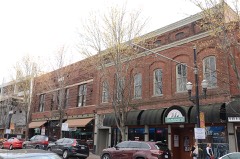
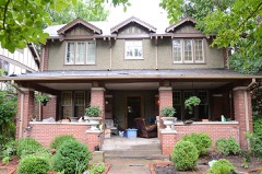
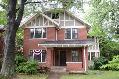
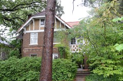
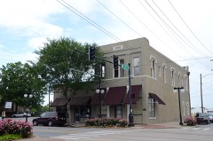
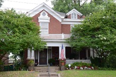
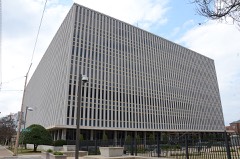
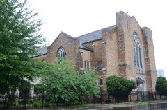
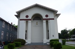
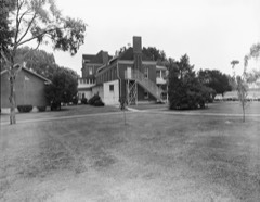
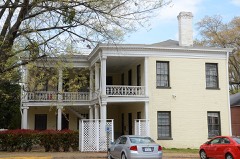
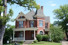
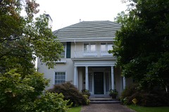
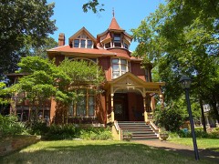
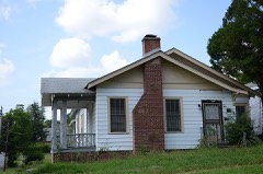
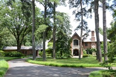
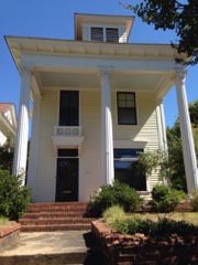
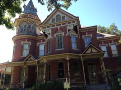
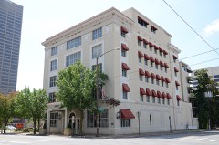
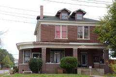
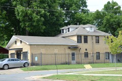
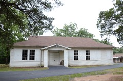
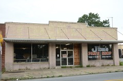
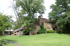
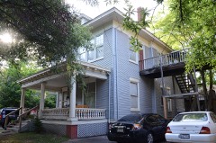
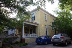
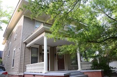
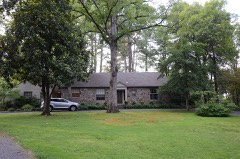
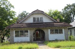
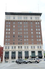
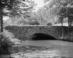
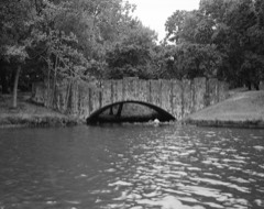
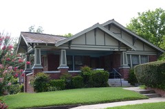
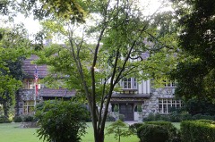
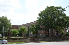
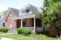
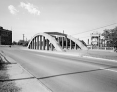
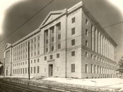
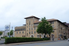
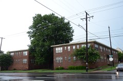
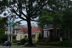
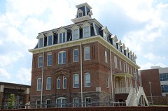
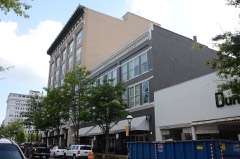
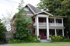
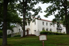
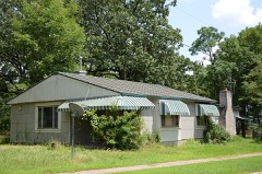
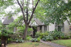
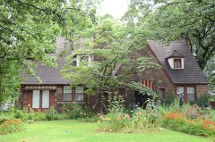
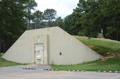
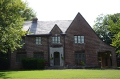
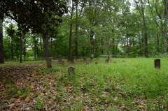
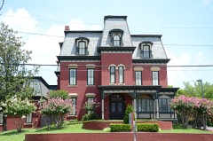
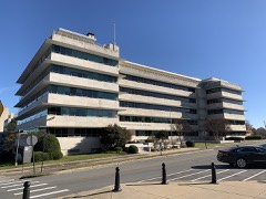
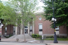
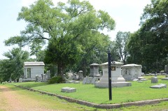
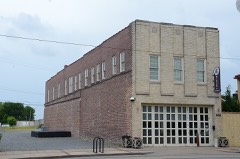
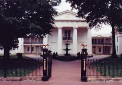
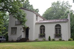
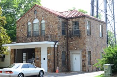
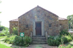
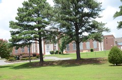
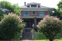
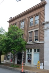
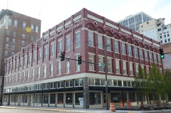
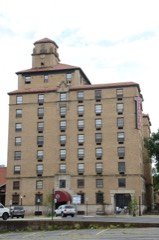
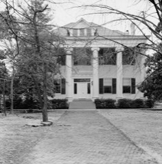
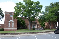
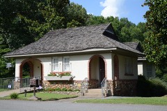
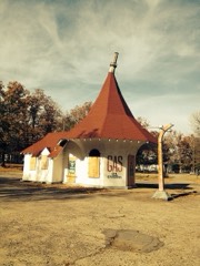
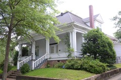
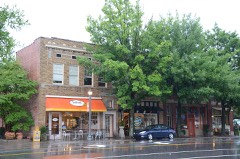
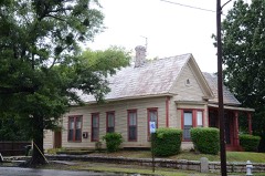
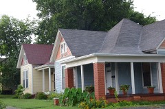
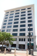
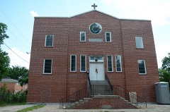
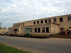
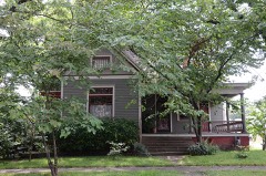
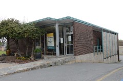
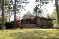
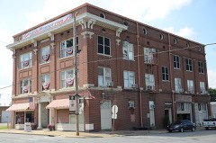
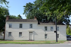
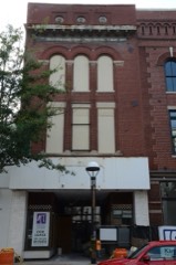
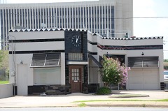
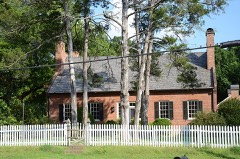
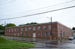
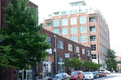
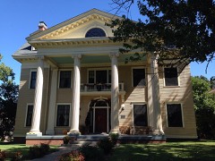
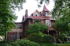
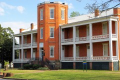
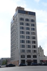
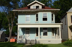
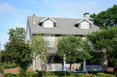
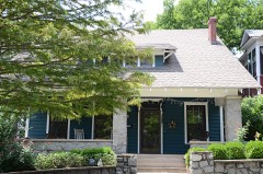
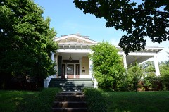
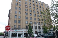
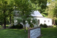
383 National Register listings published here, 6 of them National Historic Landmarks.
Sources: the National Register database, National Park Service
177 topographic sheets cover 179 settlements here, and 383 properties are on the National Register of Historic Places.
383 National Register listings published here, 6 of them National Historic Landmarks.
Sources: the National Register database, National Park Service
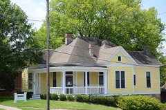
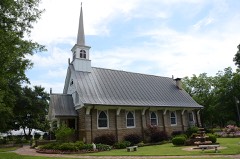
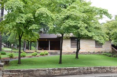
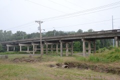
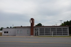
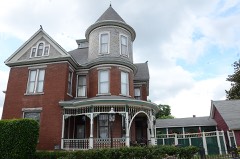
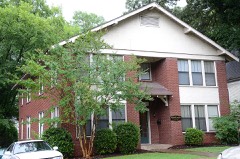
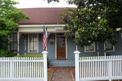
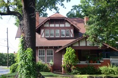
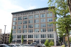
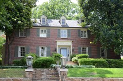
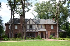
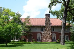
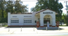
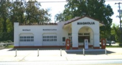
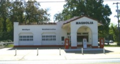
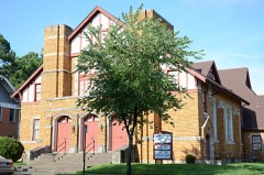
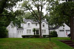
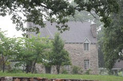
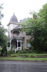
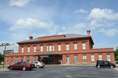
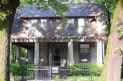
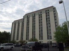
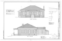
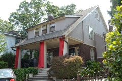
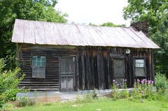
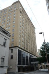
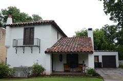
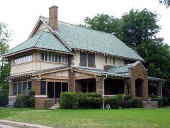
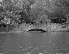
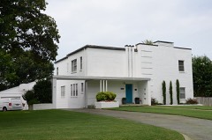
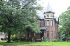
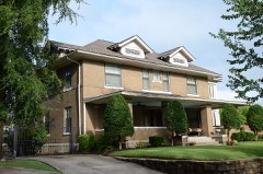
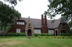
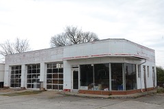
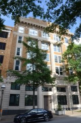
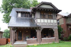
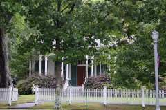
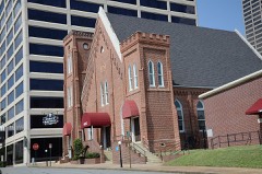
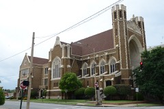
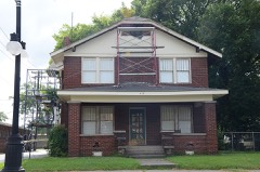
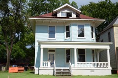
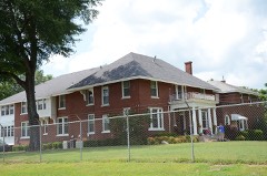
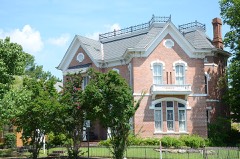
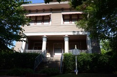
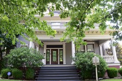
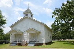
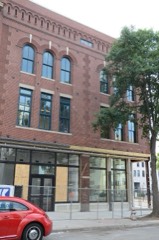
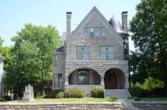
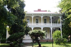
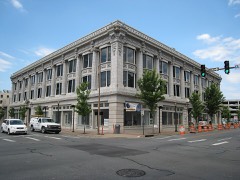
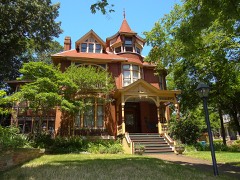
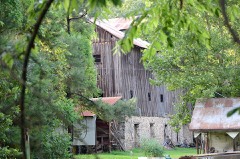
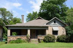
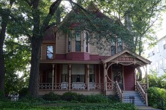
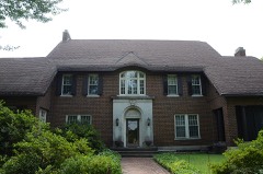
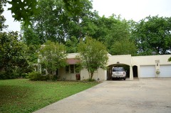
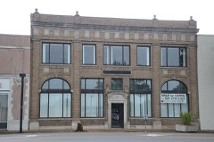
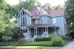
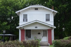
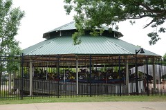
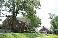
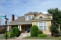
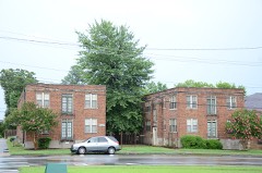
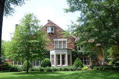
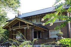
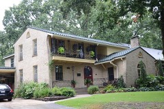
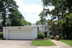
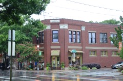
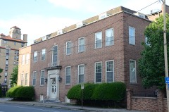
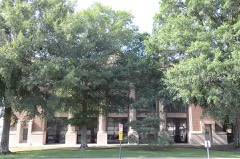
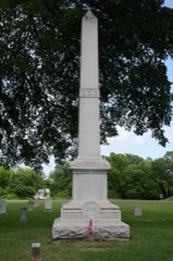
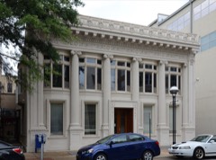
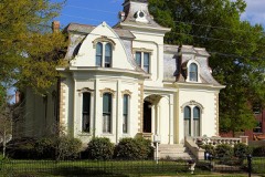
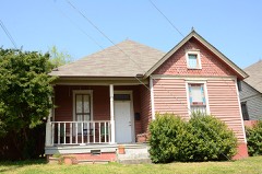
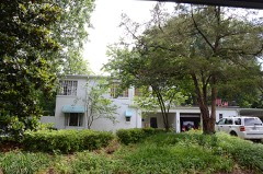
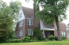
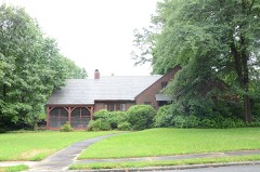
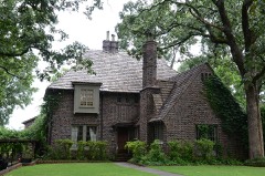
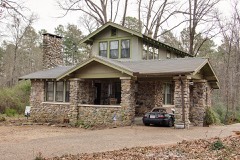
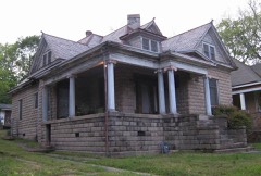
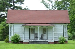
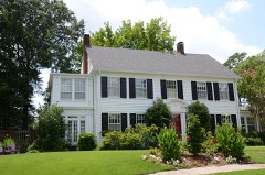
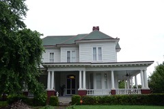
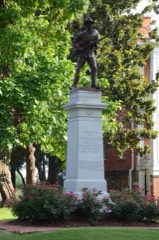
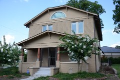
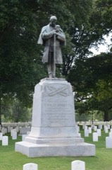
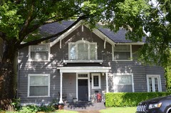
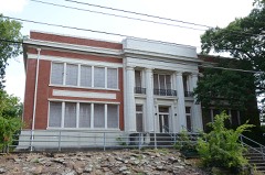
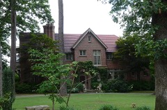
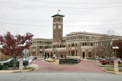
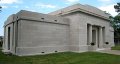
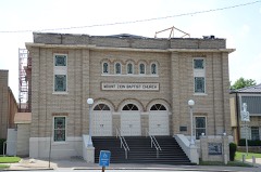
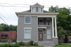
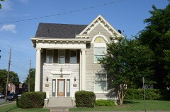
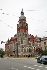
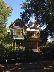
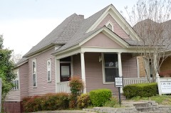
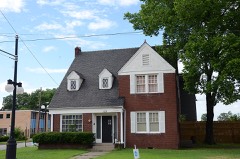
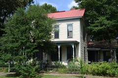
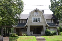
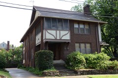
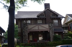
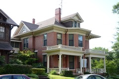
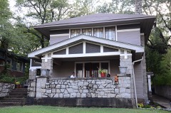
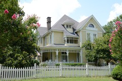
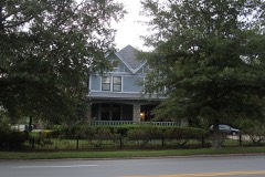
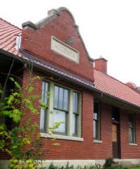
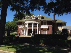
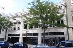
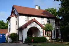
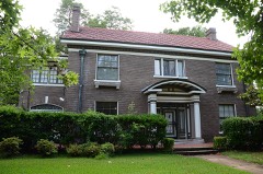
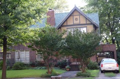
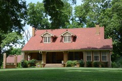
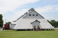
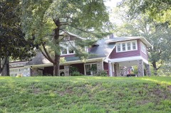
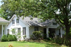
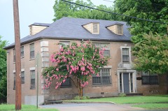
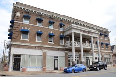
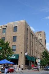
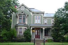
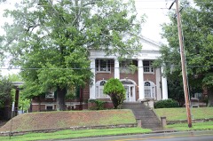
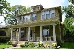
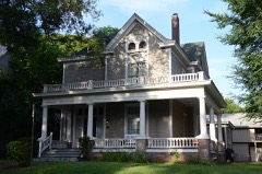
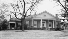
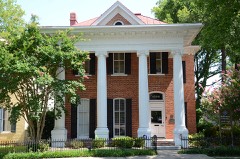
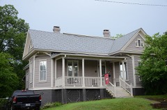
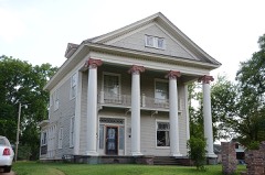
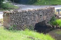
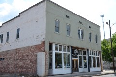
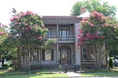
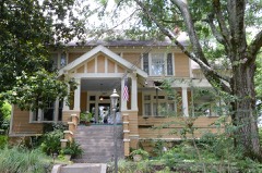
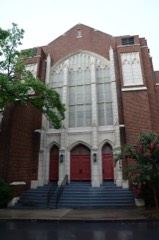
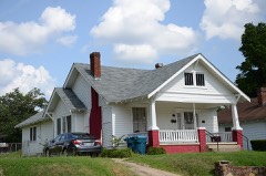
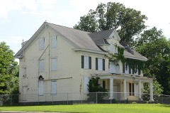
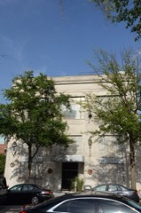
Every property in this county listed on the National Register of Historic Places, with the year it was listed and the federal nomination document.
Every wildfire the federal occurrence database records inside this county: 484 of them, burning about 8,056 acres. 24 started naturally and 97 were recorded as arson. Each settlement page carries the fires within five miles of it.
| Reported cause | Fires |
|---|---|
| Debris and open burning | 153 |
| Missing data/not specified/undetermined | 137 |
| Arson/incendiarism | 97 |
| Natural | 24 |
| Recreation and ceremony | 22 |
| Equipment and vehicle use | 20 |
| Misuse of fire by a minor | 18 |
| Smoking | 7 |
| Railroad operations and maintenance | 6 |
The five largest, by the area the report gives. None of them was recorded as arson.
| Date | Cause | Size | Reported by | Name on the report |
|---|---|---|---|---|
| 11 October 2010 | Missing data/not specified/undetermined | 1,500 acres | Arkansas Forestry Commission | CAMP |
| 25 July 2006 | Natural | 343 acres | Arkansas Forestry Commission | not named |
| 18 January 2014 | Missing data/not specified/undetermined | 210 acres | Arkansas Forestry Commission | PUL1353375 |
| 5 September 1998 | Debris and open burning | 165 acres | Arkansas Forestry Commission | not named |
| 19 February 2016 | Debris and open burning | 161 acres | Arkansas Forestry Commission | not named |
| 16 February 2000 | Debris and open burning | 150 acres | Arkansas Forestry Commission | not named |
| 12 July 2006 | Equipment and vehicle use | 150 acres | Arkansas Forestry Commission | not named |
| 11 August 2005 | Natural | 146 acres | Arkansas Forestry Commission | not named |
Every settlement page carries the fires within five miles of it - see the settlement index below.
The NOAA Storm Events Database holds 1,910 reports for this county, causing 25 deaths, 507 injuries and about $597,221,860 in recorded property damage. Each settlement page carries the reports that name it.
| Kind of event | Reports |
|---|---|
| Thunderstorm Wind | 728 |
| Hail | 687 |
| Flash Flood | 237 |
| Tornado | 103 |
| Heavy Rain | 64 |
| Lightning | 46 |
| Flood | 32 |
| Funnel Cloud | 12 |
| Dust Devil | 1 |
The most serious of them, by death, then injury, then recorded damage. The accounts are quoted exactly as the forecast office filed them.
| When | Event | Place named | Harm | What the report says |
|---|---|---|---|---|
| March 1997 | Tornado (F4) | Mabelvale | 5 killed, 180 hurt, $50,000,000 | no account filed |
| January 1999 | Tornado (F3) | Little Rock | 3 killed, 72 hurt | no account filed |
| November 1988 | Tornado (F2) | not stated | 3 killed, 52 hurt, $25,000,000 | no account filed |
| April 2014 | Tornado (EF3) | Ferndale | 3 killed, 25 hurt, $13,000,000 | A tornado began west of the Ferndale area, near the Saline/Pulaski County line. This was the first of five tornadoes produced by the same supercell thunderstorm. According to the American Red Cross, 7 houses were destroyed, 24 had major damage, 9 houses and 1 mobile home had minor damage, and 76 houses were affected in Pulaski County. Three members of one family, a 48-year-old male, a 20-year-old female, and a 14-year-old female, were killed in a house on Deer Dr. Communities affected included Ferndale and Roland. The tornado crossed the eastern portion of Lake Maumelle. The tornado exited Pulaski County 1.6 miles northeast of Roland, as it crossed the Arkansas River, and entered Faulkner County 0.6 mile southwest of Palarm. |
| April 2011 | Tornado (EF1) | Cammack Vlg | 2 killed, 2 hurt, $38,500,000 | This tornado's track was entirely within the city limits of Little Rock. It touched down southwest of the intersection of W. Markham and John Barrow Rd. and ended in the Sherrill Heights neighborhood. While there was some shingle damage to houses, the vast majority of the damage was due to trees falling on houses and vehicles. The Leawood subdivision and The Heights were hard-hit. A Red Cross survey indicated two houses were destroyed, 36 suffered major damage, 49 had minor damage, and 37 others were affected. As of 7:00 AM CDT on the 15th, the Little Rock Police Department reported more than 40 streets blocked by fallen trees. A 34 year-old woman and her 7 year-old son were killed on Cynthia Dr. when a huge tree fell into the bedroom of their house. The root system of the tree was so large that it lifted a shed off the ground. On the same block, another huge tree was uprooted and the tree pulled natural gas lines out of the ground as it fell. |
| December 1982 | Tornado (F3) | not stated | 1 killed, 25 hurt, $25,000,000 | no account filed |
| February 1975 | Tornado (F3) | not stated | 1 killed, 22 hurt, $2,500,000 | no account filed |
| April 2025 | Thunderstorm Wind | Cypress Jct | 1 killed, 6 hurt | A tree fell on a mobile home at this location of southwestern Little Rock leading to one fatality. |
| May 2008 | Lightning | Pulaski | 1 killed, 2 hurt | A 17 year-old male was stuck and killed by lightning while standing under a large pine tree in the 1800 block of South Jackson Street (about 3 miles west-southwest of downtown Little Rock). Males 13 and 14 years old were injured. The lightning strike occurred just as the storm was moving into the area. Lightning detection equipment showed very few cloud-to-ground strikes with this particular storm. |
| May 2008 | Tornado (EF2) | Woodson | 1 killed, $3,500,000 | This tornado exited Saline County, southeast of East End, and moved into Pulaski County, southwest of Woodson. Altogether, 75 homes (houses and mobile homes) were damaged or destroyed. This number included 21 homes destroyed, 16 with major damage, 26 with minor damage, and the remainder with only slight damage. Most of these homes were in the Hensley and Woodson areas. One woman was killed when her mobile home was destroyed on West Hensley Rd. Two large, steel, electrical transmission towers were knocked down. The tornado exited Pulaski County, east of Wrightsville, and moved into Lonoke County, just northwest of Keo. |
| March 2012 | Flash Flood | Wrightsville | 1 killed, $350,000 | Numerous roads in Little Rock, North Little Rock, Sherwood, Jacksonville, and unincorporated areas of Pulaski County were flooded. Water entered some houses and garages on Stagecoach Rd. in Little Rock. In Little Rock's Boyle Park, the body of a 46 year-old woman was found in Rock Creek near the low-water bridge on the evening of the 21st. She had apparently been in the water since earlier in the day. The circumstances of how she ended up in the creek were unknown, but she had apparently been on foot. The state medical examiner ruled that drowning was the cause of death. |
| April 2011 | Thunderstorm Wind | Bredlow Corner | 1 killed, $45,000 | A 56 year-old man was killed when a large tree fell into a recreational vehicle in which the man was staying. A nearby car was also damaged by the tree. |
| June 2018 | Lightning | Maumelle | 1 killed | A man was fatally injured after being struck by lightning in the area of Coronado Cove while doing construction work. |
| May 2013 | Flash Flood | Wye | 1 killed | Numerous streets and roads were flooded. The Little Rock Fire Department responded to several calls of cars stalled in high water. At one time, water was as much as 3 feet deep on some roads in the Ferndale area. The body of an 18 year-old male was found in Coleman Creek on the campus of the University of Arkansas at Little Rock. The state medical examiner ruled drowning as the cause of death, but it was not known how he ended up in the water. He was not a student at the university. At the Little Rock airport on the 30th, 2.06 inches of rain fell in the 30-minute period ending at 9:57 PM CDT, 2.73 inches fell in the 45-minute period ending at 10:13 PM CDT, and 3.09 inches fell in the one-hour period ending at 10:17 PM CDT. The 3.09 inches of rain in one hour broke the previous all-time record for the greatest amount of rain in one hour in Little Rock. The previous record was 3.00 inches on May 26, 1955. |
| March 2023 | Tornado (EF3) | Martindale | 54 hurt, $85,710,000 | This tornado started just southwest of the Colonel |Glenn and Marsh Road intersection in Martindale, west of Marsh road, |uprooting trees and ripping a portion of a roof off an outbuilding. |The tornado then continued northeast across a forested area, |uprooting several more trees before crossing into a neighborhood off |Capitol Hill Boulevard near Hartford and Denver Streets. More |trees were uprooted as it moved northeast towards Kanis Road. ||The tornado rapidly intensified as it passed northeast over Chenal |Parkway, severely damaging several apartment buildings off of Napa |Valley Drive. The most severe residential damage occurred at these |apartments, and along and west of North Shackleford Road along |Jamestown Drive and Cobble Hill Road. Most exterior walls had |collapsed on several homes, leaving just some interior walls |standing.||The tornado then crossed Interstate 430 near the North Rodney Parham Road |interchange, damaging a shopping center and a Kroger. Between Interstate 430 |and Cantrell Road, many homes and apartments were severely damage, |with roofs ripped off and hundreds of trees uprooted. The tornado |crossed Cantrell Road near Foxtrot Road, damaging more apartments |and many businesses. Between Cantrell Road and the Arkansas River, |many more homes were damaged from the tornado winds or trees falling|onto those homes in the Cammack Village neighborhood. Before|crossing the river, many trees were uprooted or trunks snapped at|Murray Park. The tornado then uprooted or snapped hundreds, if|not thousands of trees at Burns Park, both north and south of Interstate|40. The tornado crossed Interstate 40 just west of exit 150, passing over|ball fields and recreation areas west of Military Drive. A new|fire station still under construction was also damaged along|Military Drive.||The tornado then passed over MacArther Drive near the Military Drive |intersection in Amboy, severely damaging many more homes and businesses.|Several more homes and apartments were damaged between Military Drive |and Remount Road, with the tornado passing over Remount Road between |Kierre Drive and Camp Robinson Road. Most of the damage in these areas |consisted of severe roof damage and uprooted trees, though there were |some homes who completely lost their roofs. ||The tornado then moved into the Indian Hills neighborhood of North Little |Rock, with more damaged roofs. A few homes along Flintrock Road near |Osage Drive lost their entire roofs, along with many homes damaged by trees|falling onto homes. The tornado seemed to weaken a bit as it|passed over North Hills Boulevard, with some less severe roof|damage and many uprooted trees. The tornado crossed over John F.|Kennedy Boulevard near Club Road, traveling northeast through|Sherwood generally along Lee Avenue, damaging many more homes as|it continued towards Kiehl Avenue. The tornado crossed over Kiehl|Avenue near Northgate Drive and Woodridge Lane, damaging more|homes and some businesses. This tornado passed over Brockington|Road north of Kiehl Avenue, ripping a roof off an apartment|building along Calloway Avenue, then passing over Indianhead Lake|uprooting several more trees and damaging more roofs.||The tornado then passed over rural marsh land just northwest of U.S. Highway 67 near|the Interstate 440 interchange, uprooting more trees before crossing U.S. Highway|67 near the Redmond Road exit at Jacksonville. A tractor-trailer|was flipped over along U.S. Highway 67, along with damage to signage along|the road. The tornado moved over the ball fields south of Redmond|Road, then into some neighborhoods where the tornado seemed to|strengthen, severely damaging more homes and businesses along|Stone and McHenry Streets, Eastview Drive and South 1st Street. A|church was completely destroyed along North Elm Street south of|Graham Road. More homes were damaged north of Graham Road west of|J. P. Wright Loop Road before the tornado passed over the Holland|Bottoms State Wildlife Area west of Kerr Station Road. Many trees|were snapped or uprooted in this wildlife area. This tornado was rated an EF3 with maximum estimated winds of 165 mph within Pulaski County. This tornado continued into Lonoke County. |
| February 2001 | Tornado (F2) | Wrightsville | 8 hurt | A strong tornado moved from southeast Saline County into southwest Pulaski County about 7.5 miles west of Wrightsville. The tornado moved quickly northeast, and closely followed the track of a violent tornado on March 1, 1997. In fact, a few homes and buildings that were rebuilt after the March 1st event were destroyed during this latest event. The tornado affected much of southern Pulaski County, including the Sweet Home and College Station communities. Several houses and mobile homes were damaged or destroyed, including a church. Eight people suffered minor injuries. Trees and power lines were also downed. The tornado was on the ground about 12.3 miles before dissipating about 5.5 miles east of Little Rock. |
| March 1950 | Tornado (F2) | not stated | 7 hurt, $250,000 | no account filed |
| March 2017 | Tornado (EF2) | Olmstead | 6 hurt, $350,000 | The tornado touched down just south of the Pulaski/Faulkner County line, south of Frenchman Mountain Road around Lowridge road. This tornado destroyed 4 mobile homes and damaged others. 6 People were injured, with 3 people being hospitalized. |
| January 1999 | Tornado (F2) | Little Rock | 6 hurt | no account filed |
| April 1980 | Tornado (F2) | not stated | 5 hurt, $2,500,000 | no account filed |
| April 2011 | Tornado (EF2) | Lynch | 4 hurt, $125,000,000 | Most of this tornado's path was through Little Rock Air Force Base. At least five C-130 aircraft were damaged, three of them severely. A number of buildings in the base shopping area and flight line area suffered damage, including having roofs torn off. The fire station had its roof taken off and its doors buckled. Altogether, more than 20 tons of sheet metal from roofs and buildings was recovered for recycling. Cars were overturned in the parking lot of the Base Exchange. More than 135 houses in the base housing area were damaged or destroyed. A toilet from a house in the base housing area was found lodged in the roof of the Base Exchange shopping center, more than 1/2 mile away. Four people were injured at the air base. North Pulaski High School also suffered damage. The auditorium had its roof torn off and one wall collapsed. A wall of the chemistry building collapsed, weakening the roof of a building that housed 15 classrooms. |
| March 1967 | Tornado (F2) | not stated | 4 hurt, $250,000 | no account filed |
| May 1961 | Tornado (F1) | not stated | 3 hurt, $250,000 | no account filed |
| May 1987 | Thunderstorm Wind | not stated | 3 hurt | no account filed |
| November 1983 | Thunderstorm Wind | not stated | 3 hurt | no account filed |
| April 1978 | Tornado (F2) | not stated | 2 hurt, $250,000 | no account filed |
| March 2019 | Tornado (EF1) | Wampoo | 2 hurt, $100,000 | This tornado destroyed two mobile homes along Scruggs Road, with two injuries occurring in one of these mobile homes. This tornado also severely damaged a metal farm building near the intersection of Tree and Flat Lake Lanes. Some trees were also snapped or blown over. This tornado then continued into Lonoke County. |
| October 1984 | Thunderstorm Wind | not stated | 2 hurt | no account filed |
| April 2008 | Tornado (EF1) | Douglasville | 1 hurt, $50,000,000 | A tornado began in the western part of Little Rock, just west of the intersection of Interstate 630 and John Barrow Rd. It traveled through the Leawood subdivision of Little Rock and the city of Cammack Village, dropped off a bluff into Murray Park, crossed the Arkansas River, and ended in North Little Rock near the soccer fields in Burns Park. The vast majority of damage from this tornado was due to large trees falling on houses and vehicles. The approximate count of houses included six destroyed, 98 with major damage, and 170 with minor damage. In addition, four businesses had major damage and three had minor damage. Eleven apartments also suffered damage. |
| April 1982 | Tornado (F2) | not stated | 1 hurt, $2,500,000 | no account filed |
| April 2011 | Tornado (EF1) | Rottaken | 1 hurt, $450,000 | A tornado touched down near the Arkansas River levee and tracked through the Lands End Plantation. On the plantation, the trailer of a tractor-trailer truck was overturned, an old cotton gin was destroyed, and a 150 year-old pecan orchard was severely damaged. After leaving the plantation, numerous large trees were blown down and outbuildings were damaged. A mobile home was destroyed and its occupant was badly injured. Another mobile home was knocked off its foundation. A 250-gallon propane tank was ripped from its foundation and came unplugged. The tornado exited Pulaski County north-northeast of Wampoo and continued into Lonoke County west-southwest of Willow Belle. |
| April 2011 | Tornado (EF1) | Natural Steps | 1 hurt, $300,000 | This tornado exited Faulkner County 2.06 miles south of Palarm and re-entered Pulaski County 1.93 miles northeast of Natural Steps. In Pulaski County, the tornado badly damaged a small church, blew a tree down into a house, and knocked down numerous trees. The tornado crossed Interstate 40 in extreme northern Pulaski County. It exited Pulaski County north-northwest of Morgan and re-entered Faulkner County east-southeast of Mayflower. |
| June 2014 | Thunderstorm Wind | Fort Roots | 1 hurt, $25,000 | A severe thunderstorm moved across Fort Roots while amateur radio operators were holding a field day event. The storm blew down their tents and damaged computer and radio equipment. There was one minor injury. |
| May 2014 | Thunderstorm Wind | Little Rock | 1 hurt, $25,000 | A large limb broke off a tree on the edge of the Arkansas State Capitol grounds. The limb fell on a passing car, resulting in one injury. |
| May 2014 | Heavy Rain | Cammack | 1 hurt, $25,000 | A large tree fell onto a house and van on Crystal Hill Rd. due to saturated ground and wet foliage. A woman in the house was injured. |
| December 2019 | Thunderstorm Wind | Landmark | 1 hurt, $20,000 | The time was updated based on the NWS storm survey. A large tree was blown down on top of a mobile home, causing substantial damage and one injury. |
| February 2019 | Lightning | (Lit)Little Rock Ada | 1 hurt | Just before midnight on the 19th, an employee, a 52 year old male, at Little Rock National Airport (Pulaski County) was struck by lightning while loading a plane. He was knocked unconscious for several minutes before being treated at a local hospital. The strike left a baseball-sized char mark on the top of his head. |
| July 2000 | Thunderstorm Wind | Roland | 1 hurt | no account filed |
| June 1998 | Thunderstorm Wind | North Little Rock | 1 hurt | no account filed |
| July 1990 | Thunderstorm Wind | not stated | 1 hurt | no account filed |
| June 2009 | Hail | Oak Grove | $60,000,000 | A devastating hailstorm, several miles wide, affected northern portions of North Little Rock and continued eastward through Sherwood and on into the area between Jacksonville and Galloway. In North Little Rock, hail up to 1 inch in diameter pelted the National Weather Service office at the North Little Rock airport for 6 minutes, from 5:11 to 5:17 PM CDT. The hail became larger as it progressed farther to the east. The Indian Hills and Windsor Valley subdivisions in North Little Rock were particularly hard-hit, as some of the hail increased to golf ball size (1.75 inches). Roofs were ruined and cars were dented. ||In Sherwood, much of the hail was golf ball size, and some of it was even larger. The hailstones poked holes in vinyl siding, ruined roofs, dented cars, and smashed car windshields. City officials indicated that thousands of roofs would have to be replaced. Automobile dealerships along U.S. Highway 67/167 were very hard-hit. One dealer said it was the first time in the 40 year history of the dealership that they were going to have to hold a hail sale. The largest hail was baseball size (2.75 inches) and was reported in the southern part of Sherwood. ||The hailstorm then continued eastward into Lonoke County.||For the sake of completeness, all hail reports received by the National Weather Service are listed individually. |
| May 2011 | Flood | Wye | $27,000,000 | Widespread areal flooding continued from April into May. On the morning of the 1st, Arkansas Highway 300 was closed just west of Arkansas Highway 10 due to a washed-out culvert. Also on the morning of the 1st, U.S. Highway 67/167 was closed by flooding near Little Rock Air Force Base. While this section of the highway reopened on the 2nd, a greater problem developed the same day when another section of the highway flooded between Jacksonville and Sherwood. Hours-long delays were created for motorists trying to travel to and from Little Rock. The section of Highway 67/167 that was closed typically carries about 70,000 vehicles each day. The highway reopened by the 4th. On the morning of the 2nd, six docks and more than two dozen boats broke loose from a marina on the Little Maumelle River. Much of the debris soon floated down into the Arkansas River and continued to the vicinity of Murray Lock and Dam. Pinnacle Mountain State Park was closed due to flooding. Homes were flooded in parts of Sherwood, including Indianhead Lakes and Gravel Ridge. Some homes also flooded in Jacksonville. |
| April 2008 | Tornado (EF2) | Levy | $12,000,000 | A tornado began in North Little Rock, south of St. Joseph's Orphanage, near the intersection of Camp Robinson Rd. and Donovan Briley Blvd. It passed through the southeast corner of Camp Joseph T. Robinson, moved across the North Little Rock Airport, continued through parts of Sherwood and Sylvan Hills, and ended on the north side of Gravel Ridge. At the North Little Rock Airport, a number of the hangars suffered substantial damage. Virtually all of the small planes that had been tied down on the parking apron were overturned. A DC3 aircraft rolled about 1/4 mile from the parking apron, across a runway, and into a ditch. A small plane was trapped beneath the DC3 as it rolled along. At the National Weather Service, located at the airport, the staff took shelter for a few minutes in the office's concrete-reinforced safe room. Damage at the weather office was limited to a flagpole, birdhouse, and TV antenna being blown down. At Sylvan Hills High School, a considerable amount of roof damage occurred. The Sherwood Sports Complex, adjacent to the school, suffered substantial damage. Nearby, a tornado siren was blown down. The greatest amount of residential damage occurred in the Hidden Creek subdivision, and on to the northeast on Loop Rd., Kellogg Acres Rd., and Oakdale Rd. |
| March 1997 | Tornado (F2) | Sweet Home | $10,000,000 | no account filed |
| December 2009 | Flash Flood | Crossroads | $7,200,000 | Excessive rainfall on the 23rd caused widespread flash flooding. Numerous county roads were flooded, and many rescues were necessary. |
| December 2009 | Flood | Crossroads | $7,200,000 | Flash flooding, which developed on the evening of the 23rd, became widespread areal flooding on the 24th and continued through Christmas. Numerous county roads were flooded. In the Jacksonville area, four houses had to be evacuated just north of town, and residents of the Taramount neighborhood had to reach their homes by traveling in boats and then walking the rest of the way. The Jacksonville Fire Department rescued people from cars floating on West Main Street. On Arkansas Highway 161 South, a home and some mobile homes were flooded. Flooding also occurred on Jacksonville Cutoff, where a used car lot and a self-storage warehouse were flooded. Many homes along Valentine Road were flooded as well. In Sherwood, flooding occurred in Indianhead Lake Estates, around Bronco Lane, Windchime, Silvercreek, Orchid Lane, in Gravel Ridge, and on Trammel Road from Landers Road to Roundtop Road. Five homes were evacuated off Stagecoach Road in southwest Little Rock. Arkansas Highway 338 was closed in southwest Little Rock. Pinnacle Mountain State Park was flooded. |
| May 2011 | Flash Flood | Wye | $3,000,000 | At 1:06 AM CDT on the 1st, roads were flooded north of Jacksonville around Maddox Rd. and Old Tom Box Rd. At 2:40 AM CDT, a culvert washed out on Arkansas Highway 300 just off Arkansas Highway 10, closing the road. At 7:49 AM CDT, U.S. Highway 67/167 flooded near Jacksonville. By 8:45 AM CDT, Jacksonville Cutoff was impassable near Gravel Ridge due to high water, and an apartment complex nearby had cars submerged in the parking lot. By 10:30 AM CDT, a portion of James Rd. in the Blue Hill area washed out and was barricaded. A mobile home park in northern Pulaski County had to be evacuated. Firefighters used boats to reach residents whose houses were surrounded by water in parts of northern and western Pulaski County. Twenty-five to 30 houses flooded in the Cypress Dr. area of Jacksonville. |
| July 2007 | Lightning | Levy | $3,000,000 | Lightning struck a church, setting it on fire. Most of the church was destroyed, but firefighters did manage to save the church organ and some of the furnishings from the sanctuary. |
| October 2009 | Flash Flood | Morgan | $2,750,000 | Numerous county roads and city streets were damaged by flooding. |
| April 2007 | Lightning | Little Rock | $2,500,000 | Lightning struck an electric substation and also set fire to a building at the substation. Power was knocked out to 11,900 customers until power could be rerouted. The electric utility estimated that it would take three months to repair the damage to the substation. |
| April 1980 | Tornado (F2) | not stated | $2,500,000 | no account filed |
| June 1979 | Tornado (F2) | not stated | $2,500,000 | no account filed |
| April 2011 | Tornado (EF1) | Ward | $2,000,000 | A tornado downed trees and power lines before tracking into an industrial park at the Port of Little Rock, where the worst damage occurred. A number of power poles were knocked down, one industrial building had damage to its walls, and another industrial building suffered roof damage. |
| April 2006 | Flash Flood | Little Rock | $2,000,000 | no account filed |
| August 2014 | Flash Flood | Roland | $1,500,000 | Flash flooding occurred in parts of Maumelle, Morgan, and Marche. Arkansas 365 was flooded and at least one water rescue was necessary. Flooding in Maumelle entered some townhouses and apartments. A rain gauge in Maumelle measured 1.97 inches of rain between 1:45 and 2:45 PM CDT, and a total of 3.28 inches from 12:30 PM to 4:14 PM CDT. |
| May 2010 | Heavy Rain | Douglas Corner | $1,500,000 | Very heavy rain late on the afternoon of May 25th led to the collapse of the roof over a wing of J.A. Fair High School in southwest Little Rock. The roof fell in over two classrooms. Concrete blocks, lockers, and other debris were scattered down adjacent hallways. Some staff members were still in the building when the collapse occurred, but there were no injuries. Several inches of water covered most of the floors in the school Nearby, a few broken limbs and some small branches in the road indicated that winds from the thunderstorm did not likely exceed 40 mph. |
| March 2011 | Hail | Cypress Jct | $1,300,000 | Golf ball size hail was reported at Baseline Rd. and Production Dr. In nearby areas, cars at a car dealership suffered hail damage, leaves were knocked off trees, and dozens of cars and roofs were damaged. |
| April 2011 | Thunderstorm Wind | Levy | $1,250,000 | Numerous trees were blown down in the Cherry Hill, Park, Hill, Lakewood, and Heritage Park neighborhoods of North Little Rock. A number of the trees fell on houses and power lines. |
| April 2010 | Tornado (EF1) | Landmark | $1,150,000 | This tornado exited Saline County northeast of East End and entered Pulaski County south-southeast of Landmark. A Red Cross survey of the tornado damage in Pulaski County indicated: 3 houses and 6 mobile homes destroyed, 2 houses and 10 mobile homes with major damage, 10 houses and 16 mobile homes with minor damage, and 23 houses and 22 mobile homes affected. In addition, numerous trees and power lines were blown down. |
| June 2019 | Flood | Haig | $1,000,000 | Heavy rain and upstream reservoir releases led to flooding on the Arkansas River at Little Rock. |
The Survey's mineral resources record lists 103 workings inside this county. 17 still produce and 86 are closed or unrecorded. Each settlement page carries the workings within five miles of it.
| Commodity | Workings |
|---|---|
| Aluminum | 63 |
| Stone, Crushed/Broken | 17 |
| Clay | 4 |
| Slate, Dimension | 3 |
| Silica | 3 |
| Sand and Gravel, Construction | 3 |
| Limestone, Dimension | 2 |
| Lead | 2 |
| Zinc, Copper, Gold | 2 |
| Niobium (Columbium) | 1 |
| Iron | 1 |
| Vermiculite | 1 |
| Fullers Earth | 1 |
| Copper | 1 |
The least common of them first, because a county's hundredth gravel pit says nothing its first ten did not.
| Where | Site | Commodity | Status | Recorded |
|---|---|---|---|---|
| Big Bear Mining Co. | Copper | Unknown | ||
| Construction Products Division | Vermiculite | Producer | ||
| Fourche Bayou Deposit | Niobium (Columbium) | Occurrence | ||
| Little Rock Plant | Aluminum, Clay | Unknown | ||
| Matt Wunee Property | Iron | Unknown | ||
| No Name | Fullers Earth | Unknown | ||
| Julius Hess | Lead, Zinc, Copper, Gold | Unknown | ||
| Kellog Mine | Lead, Zinc, Copper, Gold | Unknown | ||
| No Name | Limestone, Dimension | Unknown | ||
| No Name | Limestone, Dimension | Unknown | ||
| Big Sandy No. 3 | Sand and Gravel, Construction | Producer | ||
| H. J. White Prospect | Silica | Unknown | ||
| Jeff and Robert Koon | Silica | Unknown | ||
| No Name | Slate, Dimension | Unknown | ||
| No Name | Slate, Dimension | Unknown | ||
| No Name | Slate, Dimension | Unknown | ||
| North Little Rock Plant and Dredge | Sand and Gravel, Construction | Producer | ||
| Quartz Crystal Prospect | Silica | Unknown | ||
| Unknown S & G Pit | Sand and Gravel, Construction | Unknown | ||
| Arkansas Calcine Mill | Clay | Producer | ||
| Elkins Pit | Clay | Producer | ||
| Hoffman | Clay | Producer | ||
| Little Rock Industrial Minerals Pnt | Clay | Producer | ||
| Arch Street Plant | Stone, Crushed/Broken | Producer | ||
| Arch Street Quarry | Stone, Crushed/Broken | Unknown | ||
| Big Rock Quarry | Stone, Crushed/Broken | Unknown | ||
| Cabot Quarry | Stone, Crushed/Broken | Producer | ||
| Crystal Hl | Stone, Crushed/Broken | Producer | ||
| Granite Mountain Mill | Stone, Crushed/Broken | Producer | ||
| Granite Mountain Quarry #1 | Stone, Crushed/Broken | Producer | ||
| Granite Mountain Quarry #2 | Stone, Crushed/Broken | Producer | ||
| Ironton | Stone, Crushed/Broken | Past Producer | ||
| Little Rock Mill | Stone, Crushed/Broken | Producer | ||
| Little Rock Quarry | Stone, Crushed/Broken | Producer | ||
| Maumelle | Stone, Crushed/Broken | Past Producer | ||
| Pulaski County Rock Quarry | Stone, Crushed/Broken | Unknown | ||
| Sweet Home Stone Quarry | Stone, Crushed/Broken | Producer | ||
| Tayor Quarry & Plant | Stone, Crushed/Broken | Producer | ||
| Unknown Quarry | Stone, Crushed/Broken | Unknown | ||
| Unknown Quarry | Stone, Crushed/Broken | Unknown | ||
| Alford-Ross Deposit | Aluminum | Unknown | ||
| Bates Deposit | Aluminum | Unknown | ||
| Berger Plant | Aluminum | Past Producer | ||
| Birnbach Deposit | Aluminum | Unknown | ||
| Brown Deposit | Aluminum | Unknown | ||
| Bruton Deposit | Aluminum | Unknown | ||
| Bruton Extension | Aluminum | Unknown | ||
| Cheatham Deposit | Aluminum | Unknown | ||
| Coe Deposit | Aluminum | Unknown | ||
| Cole Deposit | Aluminum | Unknown | ||
| Concentration Plant | Aluminum | Unknown | ||
| Dan Rauch Deposit | Aluminum | Unknown | ||
| Dixie Extension Deposit | Aluminum | Unknown | ||
| Dixon Clay Deposit | Aluminum | Unknown | ||
| Dixon Deposit | Aluminum | Unknown | ||
| Dixon, E. A. Deposit | Aluminum | Unknown | ||
| Dreher Deposit | Aluminum | Unknown | ||
| Dreher-Junkin-Herrod | Aluminum | Unknown | ||
| East Bauxite Area | Aluminum | Unknown | ||
| Finnegan Deposit | Aluminum | Unknown | ||
| Fuller School Deposit | Aluminum | Unknown | ||
| Glidwell Deposit | Aluminum | Unknown | ||
| Hempstead Deposit | Aluminum | Unknown | ||
| Hollenberg Deposit | Aluminum | Unknown | ||
| Hubbard Deposit | Aluminum | Unknown | ||
| Illing Mine | Aluminum | Unknown | ||
| Jennings Deposit | Aluminum | Unknown | ||
| Kramer Deposit | Aluminum | Unknown | ||
| Mablevale Area | Aluminum | Unknown | ||
| Maughan Deposit | Aluminum | Unknown | ||
| Mcclain Deposit | Aluminum | Unknown | ||
| Mcclain-Burks-Nelson | Aluminum | Unknown | ||
| Mcguire Deposit | Aluminum | Unknown | ||
| Mine No. 7 | Aluminum | Unknown | ||
| Mine No. 8 | Aluminum | Unknown | ||
| Newman-Kendrick Deposit | Aluminum | Unknown | ||
| No.3 | Aluminum | Unknown | ||
| North Dixie Deposit | Aluminum | Unknown | ||
| North Heckler Deposit | Aluminum | Unknown | ||
| North Ironton Deposit | Aluminum | Unknown | ||
| Nutt-Bailey Deposit | Aluminum | Unknown | ||
| Olaf Nelson | Aluminum | Unknown | ||
| Peiser Spur Plant | Aluminum | Past Producer | ||
| Peter Row Deposit | Aluminum | Unknown | ||
| Price Deposit | Aluminum | Unknown | ||
| Pulaski County Mines | Aluminum | Past Producer | ||
| Ratcliffe Deposit | Aluminum | Unknown | ||
| Rauch Clay Deposit | Aluminum | Unknown | ||
| Rauch Clay Extension | Aluminum | Unknown | ||
| Rauch Mine | Aluminum | Past Producer | ||
| Reichardt Mine | Aluminum | Unknown | ||
| Rummel Deposit | Aluminum | Unknown | ||
| Saddle Area | Aluminum | Unknown | ||
| Sipes Deposit | Aluminum | Unknown | ||
| Smith Deposit | Aluminum | Unknown | ||
| South Extention Area | Aluminum | Unknown | ||
| South Heckler Deposit | Aluminum | Unknown | ||
| South Ironton Deposit | Aluminum | Unknown | ||
| Sweet Home Clay | Aluminum | Unknown | ||
| Treadway Deposit | Aluminum | Unknown | ||
| Vinson Deposit | Aluminum | Unknown | ||
| Vinson-Raines Deposit | Aluminum | Unknown | ||
| West Bauxite Area | Aluminum | Unknown |
Named settlements recorded in the Geographic Names Information System, each with the topographic sheets covering it. Villages, hamlets and abandoned places alike. Each is shown with the nearest named watercourse or landform and the survey quadrangle it falls on.
Big Rock township · 72002 · On Crooked Creek · Alexander quadrangle
25 sheets, 1891 to 1994
Big Rock township · 72209 · On Willow Springs Branch · Little Rock quadrangle
26 sheets, 1891 to 1994
Big Rock township · 72209 · On Rock Creek · Little Rock quadrangle
26 sheets, 1891 to 1994
Big Rock township · 72209 · On Brodie Creek · Little Rock quadrangle
26 sheets, 1891 to 1994
Hill township · On Shilcotts Bayou · North Little Rock quadrangle
21 sheets, 1891 to 1996
Big Rock township · 72204 · Near Fourche Mountain · Little Rock quadrangle
26 sheets, 1891 to 1994
Big Rock township · 72210 · Near Ellis Mountain · Alexander quadrangle
25 sheets, 1891 to 1994
No longer a settlement
Big Rock township · 72209 · On Willow Springs Branch · Little Rock quadrangle
26 sheets, 1891 to 1994
Big Rock township · 72209 · On Brodie Creek · Little Rock quadrangle
26 sheets, 1891 to 1994
Big Rock township · 72211 · On Grassy Flat Creek · Pinnacle Mountain quadrangle
20 sheets, 1891 to 1994
Big Rock township · 72204 · On Grassy Flat Creek · Little Rock quadrangle
26 sheets, 1891 to 1994
Big Rock township · 72207 · On Jimerson Creek · North Little Rock quadrangle
21 sheets, 1891 to 1996
Hill township · 72023 · Near Backbone Ridge · Cabot quadrangle
19 sheets, 1891 to 1994
Hill township · 72113 · Near Cook Mountain · Mayflower quadrangle
19 sheets, 1891 to 1994
No longer a settlement
Hill township · 72117 · Sweet Home quadrangle
23 sheets, 1891 to 1994
No longer a settlement
Big Rock township · Near Picron Hill · Sweet Home quadrangle
23 sheets, 1891 to 1994
Big Rock township · On Jimerson Creek · Pinnacle Mountain quadrangle
20 sheets, 1891 to 1994
Big Rock township · 72016 · On Yount Creek · Martindale quadrangle
16 sheets, 1890 to 1985
No longer a settlement
Big Rock township · 72209 · On Vinson Branch · Little Rock quadrangle
26 sheets, 1891 to 1994
Hill township · Near Chenault Island · Woodson quadrangle
18 sheets, 1891 to 1987
No longer a settlement
Big Rock township · 72210 · On Panther Branch · Alexander quadrangle
25 sheets, 1891 to 1994
Big Rock township · 72204 · Near Fourche Mountain · Little Rock quadrangle
26 sheets, 1891 to 1994
Big Rock township · Near Picron Hill · Sweet Home quadrangle
23 sheets, 1891 to 1994
No longer a settlement
Big Rock township · 72209 · On Rock Creek · Little Rock quadrangle
26 sheets, 1891 to 1994
Hill township · 72023 · Near Erving Ridge · Cabot quadrangle
19 sheets, 1891 to 1994
Big Rock township · 72209 · On Coleman Creek · Little Rock quadrangle
26 sheets, 1891 to 1994
Big Rock township · 72210 · Near Bland Hollow · Congo quadrangle
20 sheets, 1890 to 1994
Big Rock township · On Little Fourche Creek · Little Rock quadrangle
26 sheets, 1891 to 1994
Hill township · Near Brushy Island · McAlmont quadrangle
21 sheets, 1891 to 1994
Big Rock township · 72204 · On Panther Branch · Alexander quadrangle
25 sheets, 1891 to 1994
Hill township · 72113 · On Winifree Creek · North Little Rock quadrangle
21 sheets, 1891 to 1996
Big Rock township · 72210 · Near Ellis Mountain · Alexander quadrangle
25 sheets, 1891 to 1994
Big Rock township · 72210 · Near Ellis Mountain · Alexander quadrangle
25 sheets, 1891 to 1994
Hill township · 72113 · Near Cook Mountain · Pinnacle Mountain quadrangle
20 sheets, 1891 to 1994
Big Rock township · 72209 · On Vinson Branch · Little Rock quadrangle
26 sheets, 1891 to 1994
Big Rock township · 72209 · On Brodie Creek · Little Rock quadrangle
26 sheets, 1891 to 1994
Big Rock township · 72211 · On Grassy Flat Creek · Pinnacle Mountain quadrangle
20 sheets, 1891 to 1994
Big Rock township · 72135 · On Mill Bayou · Pinnacle Mountain quadrangle
20 sheets, 1891 to 1994
Hill township · 72114 · Near Dark Hollow · McAlmont quadrangle
21 sheets, 1891 to 1994
No longer a settlement
Hill township · Near Big Rock Mountain · North Little Rock quadrangle
21 sheets, 1891 to 1996
Big Rock township · 72135 · Near Grindstone Mountain · Ferndale quadrangle
16 sheets, 1890 to 1994
Big Rock township · 72210 · On Callagahan Branch · Alexander quadrangle
25 sheets, 1891 to 1994
Big Rock township · 72207 · On Jimerson Creek · North Little Rock quadrangle
21 sheets, 1891 to 1996
Big Rock township · 72211 · On Payne Branch · Pinnacle Mountain quadrangle
20 sheets, 1891 to 1994
Big Rock township · 72204 · Near Fourche Mountain · Alexander quadrangle
25 sheets, 1891 to 1994
Big Rock township · 72135 · On Nowlin Creek · Pinnacle Mountain quadrangle
20 sheets, 1891 to 1994
Big Rock township · 72212 · On Little Maumelle River · Pinnacle Mountain quadrangle
20 sheets, 1891 to 1994
Big Rock township · On Little Maumelle River · Pinnacle Mountain quadrangle
20 sheets, 1891 to 1994
Big Rock township · 72212 · Pinnacle Mountain quadrangle
20 sheets, 1891 to 1994
Big Rock township · 72209 · On Brodie Creek · Little Rock quadrangle
26 sheets, 1891 to 1994
Big Rock township · Near Big Rock Mountain · North Little Rock quadrangle
21 sheets, 1891 to 1996
Big Rock township · 72210 · On Crooked Creek · Alexander quadrangle
25 sheets, 1891 to 1994
Big Rock township · On Little Maumelle River · Pinnacle Mountain quadrangle
20 sheets, 1891 to 1994
Big Rock township · 72204 · On Panther Branch · Little Rock quadrangle
26 sheets, 1891 to 1994
Big Rock township · On Jimerson Creek · North Little Rock quadrangle
21 sheets, 1891 to 1996
Big Rock township · 72209 · On Vinson Branch · Little Rock quadrangle
26 sheets, 1891 to 1994
Big Rock township · 72210 · On Payne Branch · Alexander quadrangle
25 sheets, 1891 to 1994
Big Rock township · 72204 · On Panther Branch · Alexander quadrangle
25 sheets, 1891 to 1994
Big Rock township · 72210 · On Crooked Creek · Alexander quadrangle
25 sheets, 1891 to 1994
Big Rock township · 72211 · On Payne Branch · Alexander quadrangle
25 sheets, 1891 to 1994
Big Rock township · 72209 · On Brodie Creek · Little Rock quadrangle
26 sheets, 1891 to 1994
Big Rock township · 72210 · Near Ellis Mountain · Alexander quadrangle
25 sheets, 1891 to 1994
Big Rock township · 72212 · On Little Maumelle River · Pinnacle Mountain quadrangle
20 sheets, 1891 to 1994
Big Rock township · 72209 · Near Granite Mountain · Little Rock quadrangle
26 sheets, 1891 to 1994
Hill township · 72113 · Near Cook Mountain · Mayflower quadrangle
19 sheets, 1891 to 1994
Big Rock township · 72204 · On Panther Branch · Alexander quadrangle
25 sheets, 1891 to 1994
Big Rock township · 72204 · Near Fourche Mountain · Little Rock quadrangle
26 sheets, 1891 to 1994
Hill township · 72117 · On Fourche Creek · Sweet Home quadrangle
23 sheets, 1891 to 1994
No longer a settlement
Big Rock township · 72209 · Near Mitchell Hill · Little Rock quadrangle
26 sheets, 1891 to 1994
Big Rock township · 72212 · On Little Maumelle River · Pinnacle Mountain quadrangle
20 sheets, 1891 to 1994
Big Rock township · Near Ermentraudt Mountain · Little Rock quadrangle
26 sheets, 1891 to 1994
Big Rock township · 72209 · On Vinson Branch · Little Rock quadrangle
26 sheets, 1891 to 1994
The vanished settlements of Pulaski County: the places named above that are no longer on the map.