 Block
Griffin, Arkansas
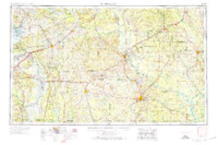
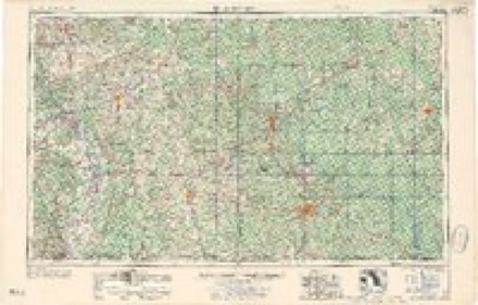
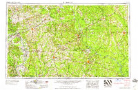
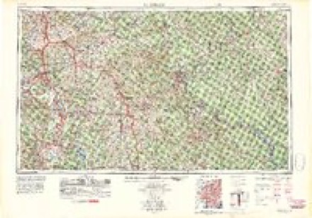
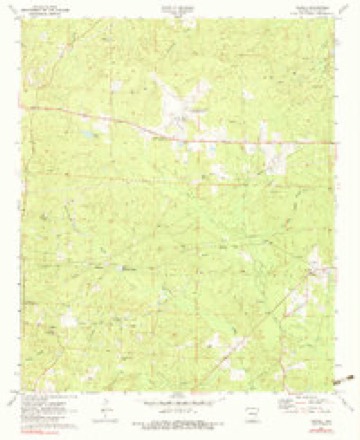
14 topographic sheets cover this place, the earliest surveyed in 1953 and the latest in 1989. It stands in Wesson Township. It lies in ZIP code area 71749. It stands on Curtis Creek. The Survey maps it on the Newell quadrangle.
Topographic sheets covering this place
7 surveys from 14 printed sheetsMatched by testing this settlement's coordinate against the published boundary of every sheet in the United States Geological Survey's historical collection. Each opens the scanned sheet at the Survey.
- 1953 USGS El Dorado quadrangle1:250000, 3 printings
- 1957 USGS El Dorado quadrangle1:250000
- 1958 USGS El Dorado quadrangle1:250000, 3 printings
- 1960 USGS El Dorado quadrangle1:250000
- 1971 USGS Newell quadrangle1:24000, 3 printings
- 1985 USGS El Dorado quadrangle1:100000, 2 printings
- 1989 USGS El Dorado quadrangle1:250000
Fires near this place
82 since 1999Regional context, not property-specific evidence. The federal wildfire occurrence database lists 82 fires within 5 miles of Griffin between 1999 and 2019, burning about 703 acres in total. 2 started naturally. 12 were recorded as arson. Distance is straight-line from the map coordinates, so a fire counted here may appear on a neighbouring settlement's page as well.
| Reported cause | Fires |
|---|---|
| Missing data/not specified/undetermined | 32 |
| Debris and open burning | 30 |
| Arson/incendiarism | 12 |
| Equipment and vehicle use | 3 |
| Misuse of fire by a minor | 2 |
| Natural | 2 |
| Recreation and ceremony | 1 |
The most recent of them, most recent first, with the day each was reported and the service that recorded it.
| Date | Cause | Size | Reported by | Name on the report |
|---|---|---|---|---|
| 9 September 2011 | Missing data/not specified/undetermined | 1.0 acres | Arkansas Forestry Commission | not named |
| 6 September 2010 | Debris and open burning | 3.0 acres | Arkansas Forestry Commission | not named |
| 28 September 1999 | Missing data/not specified/undetermined | 1.0 acres | Arkansas Forestry Commission | not named |
| 26 September 2011 | Arson/incendiarism | 2.0 acres | Arkansas Forestry Commission | not named |
| 22 September 2019 | Missing data/not specified/undetermined | 1.0 acres | Arkansas Forestry Commission | not named |
| 22 September 2015 | Missing data/not specified/undetermined | 5.0 acres | Arkansas Forestry Commission | not named |
| 19 September 2000 | Debris and open burning | 1.0 acres | Arkansas Forestry Commission | not named |
| 19 September 2000 | Debris and open burning | 5.0 acres | Arkansas Forestry Commission | not named |
Settlements close enough to share some of these fires:
Mines and quarries near this place
3 within 5 milesRegional context, not property-specific evidence. The federal mineral resources record lists 3 workings within 5 miles of Griffin: 2 past producers, 1 producer. 1 still produces. What was taken out: Bromine. Distance is straight-line from the map coordinates, so a quarry counted here may appear on a neighbouring settlement's page as well.
| Where | Site | Commodity | Status | Recorded |
|---|---|---|---|---|
| Great Lakes Bromine Plant & Mine | Bromine | Producer | ||
| Unk | Bromine | Past Producer | ||
| Unk | Bromine | Past Producer |
Storms near this place
2 since 2012Regional context, not property-specific evidence. The National Weather Service names Griffin in 2 storm reports between 2012 and 2023: 1 thunderstorm wind, 1 tornado. No death or injury is recorded in these reports. Each account below is quoted exactly as the forecast office filed it, from the NOAA Storm Events Database, and each date opens the federal record of that event.
| When | Event | Place named | Harm | What the report says |
|---|---|---|---|---|
| January 2023 | Tornado (EF1) | Griffin | $130,000 | An EF-1 tornado with estimated maximum winds near 107 mph touched down along Pleasant Hill Road east of Highway 15 (Haynesville Highway) and tracked generally in a northeasterly direction across Spot Attaway Road and Wesson Road, snapping and uprooting numerous hardwood and softwood trees. The most significant structural damage was observed as the tornado crossed Emma Drive west of Parkers Chapel Road. Here, two double-wide manufactured homes were partially shifted off their cinder blocks but remained intact with no other damage. Two outbuildings were also destroyed. One outbuilding was small and entirely made out of wood, but its 2x4 vertical support boards were driven 3 feet into the ground during construction and mostly remained in place. The other outbuilding was much larger and consisted of a metal roof and frame, which was twisted to a great degree. The expected wind speeds for these two outbuildings and their degree of damage were in the low EF-2 range. However, given the all-wood construction of the first building and its support beams remaining partially buried, and a distinct lack of widespread tree damage in the immediate vicinity, the estimated wind speeds were lowered, resulting in an EF-1 rating, which was also more consistent with the vast majority of the damage observed. ||The tornado continued northeast across Parkers Chapel Road and through a couple of neighborhoods south and east of Parkers Chapel School. Widespread snapping and uprooting of large softwood pine trees occurred in this area. Structural damage in this area was caused by the falling trees rather than the tornado itself. One uprooted tree fell through a single-wide manufactured home occupied by three people when the tornado struck. Fortunately, no injuries occurred in this home. ||More snapped and uprooted softwood trees were observed as the tornado crossed Lynn Drive, Evans Drive, Ables Drive, Rilla Street, Oleta Avenue, Wotapi Street, and Highway 15. The tornado began to weaken as it continued northeast out of the Parkers Chapel community but snapped another softwood tree north of Buchanan Road east of Highway 15 before finally lifting near the intersection of Highway 15/Highway 82 on the southwest side of El Dorado. |
| August 2012 | Thunderstorm Wind | Griffin | - | A large tree was downed across Hwy. 15 southwest of El Dorado in the Three Creeks community. |
Nearest settlements
The eight closest, with where each one stands in the county. Distances are straight-line, computed from the Geographic Names Information System coordinates.
| Map | Place | Distance | Sheets |
|---|---|---|---|
| Wesson | 1.5 miles | 13 | |
| Newell | 2.5 miles | 19 | |
| Foster Hill | 2.6 miles | 18 | |
| Pickering | 3.3 miles | 19 | |
| Trull | 3.5 miles | 14 | |
| Parkers Chapel | 3.6 miles | 19 | |
| Three Creeks | 5.2 miles | 13 | |
| Cornie | 5.3 miles | 18 |
Provenance
This settlement is recorded in the Geographic Names Information System as feature 59697. The sheet list is computed by point-in-boundary test against the United States Geological Survey's historical topographic inventory. Both are works of the United States government and carry no copyright under 17 U.S.C. 105.
Wildfire. Short, Karen C. 2022. Spatial wildfire occurrence data for the United States, 1992-2020 [FPA_FOD_20221014]. 6th Edition. Fort Collins, CO: Forest Service Research Data Archive. https://doi.org/10.2737/RDS-2013-0009.6 Collected with United States Government funding and usable without additional permissions or fees.
Mines and quarries. USGS Mineral Resources Data System (MRDS) https://mrdata.usgs.gov/mrds/ A work of the United States government, no copyright under 17 U.S.C. 105.
Storms. NOAA National Centers for Environmental Information, Storm Events Database https://www.ncei.noaa.gov/stormevents/ A work of the United States government, no copyright under 17 U.S.C. 105. Narratives are quoted verbatim from the National Weather Service report and are not edited or summarised.