 Block
Hickory Plains, Arkansas
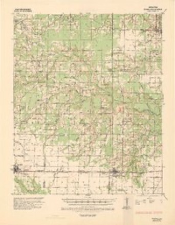
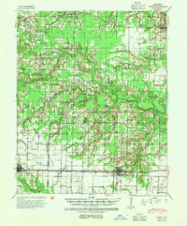
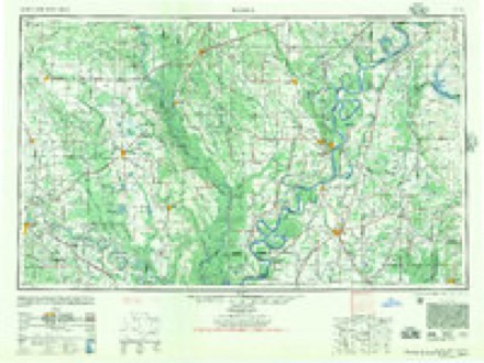
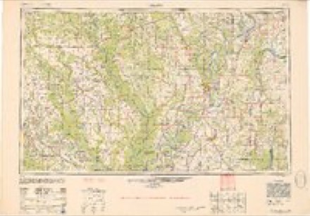
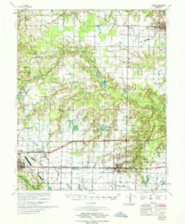
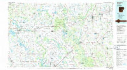
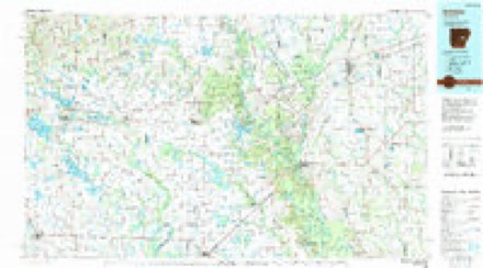
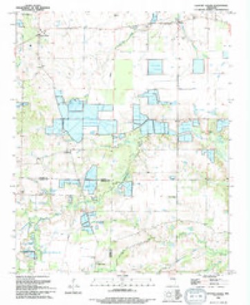
15 topographic sheets cover this place, the earliest surveyed in 1935 and the latest in 1994. It stands in Hickory Plain Township. The Survey maps it on the Hickory Plains quadrangle. It stands 249 feet above sea level.
Topographic sheets covering this place
12 surveys from 15 printed sheetsMatched by testing this settlement's coordinate against the published boundary of every sheet in the United States Geological Survey's historical collection. Each opens the scanned sheet at the Survey.
- 1935 USGS Hazen quadrangle1:62500
- 1941 USGS Hazen quadrangle1:62500, 2 printings
- 1948 USGS Helena quadrangle1:250000
- 1950 USGS Helena quadrangle1:250000, 2 printings
- 1955 USGS Helena quadrangle1:250000, 2 printings
- 1959 USGS Helena quadrangle1:250000
- 1960 USGS Helena quadrangle1:250000
- 1964 USGS Hickory Plains quadrangle1:24000
- 1967 USGS Hazen quadrangle1:62500
- 1986 USGS Brinkley quadrangle1:100000
- 1990 USGS Brinkley quadrangle1:100000
- 1994 USGS Hickory Plains quadrangle1:24000
Fires near this place
20 since 1999Regional context, not property-specific evidence. The federal wildfire occurrence database lists 20 fires within 5 miles of Hickory Plains between 1999 and 2020, burning about 606 acres in total. None started naturally. 5 were recorded as arson. Distance is straight-line from the map coordinates, so a fire counted here may appear on a neighbouring settlement's page as well.
| Reported cause | Fires |
|---|---|
| Debris and open burning | 9 |
| Missing data/not specified/undetermined | 6 |
| Arson/incendiarism | 5 |
The most recent of them, most recent first, with the day each was reported and the service that recorded it.
| Date | Cause | Size | Reported by | Name on the report |
|---|---|---|---|---|
| 7 September 2009 | Arson/incendiarism | 1.0 acres | Arkansas Forestry Commission | not named |
| 27 June 2009 | Debris and open burning | 1.0 acres | Arkansas Forestry Commission | not named |
| 5 April 2017 | Missing data/not specified/undetermined | 20 acres | Arkansas Forestry Commission | not named |
| 2 April 2003 | Debris and open burning | 10 acres | Arkansas Forestry Commission | not named |
| 8 March 2010 | Debris and open burning | 10 acres | Arkansas Forestry Commission | not named |
| 5 March 2020 | Missing data/not specified/undetermined | 50 acres | Arkansas Forestry Commission | not named |
| 20 March 2009 | Debris and open burning | 2.0 acres | Arkansas Forestry Commission | not named |
| 18 March 1999 | Missing data/not specified/undetermined | 1.0 acres | Arkansas Forestry Commission | not named |
Settlements close enough to share some of these fires:
Storms near this place
36 since 1994Regional context, not property-specific evidence. The National Weather Service names Hickory Plains in 36 storm reports between 1994 and 2023: 11 thunderstorm wind, 10 hail, 8 flash flood, 6 flood. The reports record 1 death. Each account below is quoted exactly as the forecast office filed it, from the NOAA Storm Events Database, and each date opens the federal record of that event.
| When | Event | Place named | Harm | What the report says |
|---|---|---|---|---|
| May 2011 | Flood | Hickory Plains | 1 killed, $15,000,000 | Part of U.S. Highway 70 was closed by flooding, as were parts of Arkansas Highways 11, 33, and 38. Part of the asphalt pavement on U.S. Highway 70 was scoured away by the water between DeValls Bluff and Biscoe. The force of the water left holes two feet deep on Arkansas Highway 38 in the northern part of the county. Dozens of houses flooded in the Des Arc area and evacuations were necessary in DeValls Bluff. Altogether, more than 270 homes in the county suffered flood damage. On the 4th, a 53 year-old man was found drowned near his home in the North Side community near Des Arc. On the 4th, westbound lanes of Interstate 40 near Biscoe were closed when the White River overflowed onto the freeway. Motorists traveling from Memphis to Little Rock had to exit the interstate at Brinkley, take U.S. Highway 49 north to Fair Oaks, then U.S. Highway 64 to Bald Knob, then U.S. Highway 67/167 to Little Rock. This detour was about 120 miles long. On the 5th, the flood waters overtook the eastbound lanes of the interstate, making it the first time that the interstate had ever been closed by flooding on the White River. Motorists exited the interstate at Hazen and took U.S. Highway 63 to Stuttgart, then U.S. Highway 165 to DeWitt, then Arkansas Highway 1 back to the interstate at Forrest City. The eastbound detour lasted only one day before the White River flooded Arkansas Highway 1 at the Arkansas/Monroe County line and a new detour had to be established. The new detour took cars from Interstate 40 south on U.S. Highway 63 to Stuttgart, east on U.S. Highway 79 to U.S. Highway 49, and then north on 49 back to the interstate. Because the bridge over the White River is old and narrow with very narrow shoulders, trucks were unable to use this route and had to take a much longer detour. Trucks went south to Dumas via U.S. Highways 63, 79, and 65 or via U.S. Highways 63 and 165. From Dumas, the trucks followed U.S. Highway 65 south all the way to Lake Village, crossed the Mississippi River on U.S. Highway 82 through Greenville, Mississippi, and then turned north on U.S. Highway 61 to Memphis. Altogether, the truck detour added about 300 miles onto the trip from Little Rock to Memphis. Water on I-40 eventually rose to the top of the concrete wall in the median. The eastbound lanes of Interstate 40 reopened on the 9th, followed by the westbound lanes on the 11th. Flooding in Prairie County continued into June. |
| December 2009 | Flood | Hickory Plains | $1,000,000 | Flash flooding, which developed early on the morning of the 24th, became widespread areal flooding later in the morning on the 24th and continued into Christmas morning. Numerous county roads and state highways were flooded. Approximately 25 homes were damaged. |
| May 2011 | Flash Flood | Hickory Plains | $325,000 | Numerous county roads were flooded. Arkansas Highway 38 between Johnson Chapel and Hickory Plains was heavily flooded and closed. Parts of Arkansas Highway 11 were also closed. |
| May 2012 | Lightning | Hickory Plains | $300,000 | Lightning struck a church, resulting in a fire. The church was destroyed. |
| December 2009 | Flash Flood | Hickory Plains | $250,000 | Widespread heavy rain led to the development of flash flooding early on the morning of the 24th. |
| October 2009 | Flash Flood | Hickory Plains | $70,000 | Flash flooding caused damage to a number of county roads. The intersection of Arkansas Highways 249 and 302 flooded. |
| June 2014 | Flash Flood | Hickory Plains | $60,000 | Little Dixie measured 10.32 inches of rain and Des Arc collected 4.75 inches. Part of Arkansas 11 north of Des Arc flooded, along with numerous county roads. Farm fields were flooded, as well. The University of Arkansas Cooperative Extension Service reported that 5,000 acres of soybeans and rice were flooded in the county. |
| July 2018 | Thunderstorm Wind | Hickory Plains | $50,000 | Several silos were damaged, and limbs were downed. |
| August 2010 | Thunderstorm Wind | Hickory Plains | $15,000 | A grain silo was blown over onto Arkansas Highway 38. |
| June 2014 | Flood | Hickory Plains | $10,000 | Due to the excessive rain on the morning of the 29th, some roads and fields remained flooded into July. |
| July 2014 | Flood | Hickory Plains | $10,000 | Due to excessive rain on the morning of June 29th, some roads and fields remained flooded into July. |
| June 2012 | Thunderstorm Wind | Hickory Plains | $10,000 | Trees were blown down. |
| April 2011 | Flood | Hickory Plains | $2,000 | Widespread flooding began to develop. |
| March 2023 | Flash Flood | Hickory Plains | - | Multiple sections of Highway 38 were under water. |
| May 2018 | Thunderstorm Wind | Hickory Plains | - | A trained spotter reported a 60 mph wind gust. |
| July 2015 | Flash Flood | Hickory Plains | - | Highway 38 between Hickory Plains and Des Arc was closed due to flooding. |
| October 2009 | Flood | Hickory Plains | - | Flash flooding which began on the 29th became widespread areal flooding on the 30th. |
| September 2007 | Flash Flood | Hickory Plains | - | A torrential downpour flooded Arkansas Highway 38. |
| July 2004 | Thunderstorm Wind | Hickory Plains | - | Trees down. |
| May 2003 | Thunderstorm Wind | Hickory Plains | - | Thunderstorm winds blew some farm equipment into a ditch and knocked down some large tree limbs. |
| May 1997 | Thunderstorm Wind | Hickory Plains | - | Several trees were knocked down. |
| April 2022 | Hail | Hickory Plains | - | no account filed |
| July 2018 | Hail | Hickory Plains | - | no account filed |
| April 2005 | Hail | Hickory Plains | - | no account filed |
| November 2003 | Hail | Hickory Plains | - | no account filed |
| May 2003 | Hail | Hickory Plains | - | no account filed |
| March 2001 | Hail | Hickory Plains | - | no account filed |
| February 2001 | Hail | Hickory Plains | - | no account filed |
| April 1999 | Thunderstorm Wind | Hickory Plains | - | no account filed |
| April 1999 | Thunderstorm Wind | Hickory Plains | - | no account filed |
| August 1998 | Flash Flood | Hickory Plains | - | no account filed |
| August 1998 | Hail | Hickory Plains | - | no account filed |
| August 1998 | Thunderstorm Wind | Hickory Plains | - | no account filed |
| December 1996 | Thunderstorm Wind | Hickory Plains | - | no account filed |
| June 1995 | Hail | Hickory Plains | - | no account filed |
| April 1994 | Hail | Hickory Plains | - | no account filed |
Nearest settlements
The eight closest, with where each one stands in the county. Distances are straight-line, computed from the Geographic Names Information System coordinates.
| Map | Place | Distance | Sheets |
|---|---|---|---|
| Thurman | 2.5 miles | 14 | |
| Mooresville (historical) | 2.5 miles | 13 | |
| Edwards | 3.9 miles | 9 | |
| Crossroad | 4.0 miles | 15 | |
| Hayley | 4.4 miles | 15 | |
| Uzzett (historical) | 7.3 miles | 15 | |
| Fourmile Corner | 9.2 miles | 16 | |
| Jasmine | 9.6 miles | 12 |
Elsewhere
Matched on this settlement's Geographic Names Information System number rather than its name, so it cannot be a different place of the same name in another state.
| Wikipedia article on Hickory Plains | An encyclopaedic summary. Its text is share-alike, so it is linked here rather than copied. |
| Wikidata item Q5751253 | The structured record the population and elevation above come from. Public domain (CC0). |
Provenance
This settlement is recorded in the Geographic Names Information System as feature 57915. The sheet list is computed by point-in-boundary test against the United States Geological Survey's historical topographic inventory. Both are works of the United States government and carry no copyright under 17 U.S.C. 105.
Wildfire. Short, Karen C. 2022. Spatial wildfire occurrence data for the United States, 1992-2020 [FPA_FOD_20221014]. 6th Edition. Fort Collins, CO: Forest Service Research Data Archive. https://doi.org/10.2737/RDS-2013-0009.6 Collected with United States Government funding and usable without additional permissions or fees.
Storms. NOAA National Centers for Environmental Information, Storm Events Database https://www.ncei.noaa.gov/stormevents/ A work of the United States government, no copyright under 17 U.S.C. 105. Narratives are quoted verbatim from the National Weather Service report and are not edited or summarised.