 Block
Indian, Arkansas
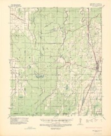
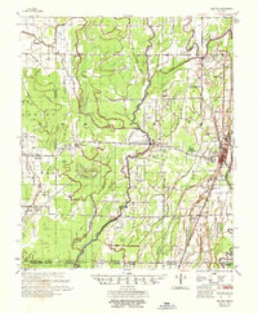
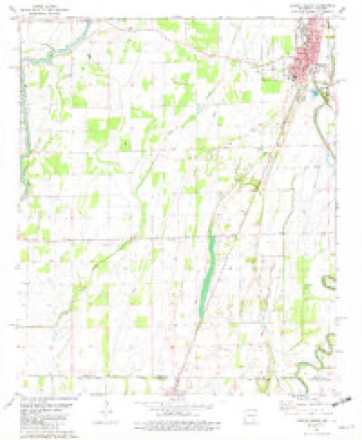
12 topographic sheets cover this place, the earliest surveyed in 1936 and the latest in 1986. It stands in District 9. It lies in ZIP code area 71640. The Survey maps it on the Eudora South quadrangle.
Topographic sheets covering this place
6 surveys from 12 printed sheetsMatched by testing this settlement's coordinate against the published boundary of every sheet in the United States Geological Survey's historical collection. Each opens the scanned sheet at the Survey.
- 1936 USGS Eudora quadrangle1:62500
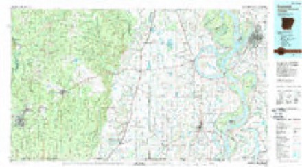
- 1953 USGS Greenwood quadrangle1:250000, 5 printings
- 1956 USGS Greenwood quadrangle1:250000
- 1957 USGS Eudora quadrangle1:62500, 2 printings
- 1981 USGS Eudora South quadrangle1:24000
- 1986 USGS Crossett quadrangle1:100000, 2 printings
Fires near this place
13 since 2001Regional context, not property-specific evidence. The federal wildfire occurrence database lists 13 fires within 5 miles of Indian between 2001 and 2010, burning about 367 acres in total. None started naturally. 3 were recorded as arson. Distance is straight-line from the map coordinates, so a fire counted here may appear on a neighbouring settlement's page as well.
| Reported cause | Fires |
|---|---|
| Equipment and vehicle use | 4 |
| Debris and open burning | 4 |
| Arson/incendiarism | 3 |
| Missing data/not specified/undetermined | 2 |
The most recent of them, most recent first, with the day each was reported and the service that recorded it.
| Date | Cause | Size | Reported by | Name on the report |
|---|---|---|---|---|
| 7 September 2006 | Equipment and vehicle use | 80 acres | Arkansas Forestry Commission | not named |
| 22 September 2005 | Missing data/not specified/undetermined | 20 acres | Arkansas Forestry Commission | not named |
| 20 September 2005 | Equipment and vehicle use | 20 acres | Arkansas Forestry Commission | not named |
| 16 September 2003 | Debris and open burning | 16 acres | Arkansas Forestry Commission | not named |
| 4 July 2005 | Debris and open burning | 115 acres | Arkansas Forestry Commission | not named |
| 28 July 2008 | Debris and open burning | 5.0 acres | Arkansas Forestry Commission | not named |
| 25 July 2006 | Arson/incendiarism | 7.0 acres | Arkansas Forestry Commission | not named |
| 24 May 2010 | Equipment and vehicle use | 2.0 acres | Louisiana Office of Forestry | not named |
Settlements close enough to share some of these fires:
Storms near this place
10 since 1995Regional context, not property-specific evidence. The National Weather Service names Indian in 10 storm reports between 1995 and 2024: 4 hail, 3 thunderstorm wind, 2 tornado, 1 flood. No death or injury is recorded in these reports. Each account below is quoted exactly as the forecast office filed it, from the NOAA Storm Events Database, and each date opens the federal record of that event.
| When | Event | Place named | Harm | What the report says |
|---|---|---|---|---|
| April 2021 | Tornado (EF1) | Indian | $200,000 | An EF1 tornado developed on the evening of April 7, near the intersection of Costello Road and Coffey Road in West Carroll Parish, LA. The tornado tracked northeast, crossed Hwy 585 near Creech Road, where a metal building system structure was significantly damaged, including the roof being removed and thrown. A home sustained some roof damage as well with several shingles missing. The tornado continued to the northeast, damaged more homes and destroyed a central pivot irrigation system southwest of Kilbourne. The tornado then continued northeast, crossed Hwy 159 north of Kilbourne and moved just north of due east along E Arkla Road. Several structures here were damaged including an outbuilding that was completely destroyed. Finally, the tornado crossed over the roadway and into farmland in Chicot County, AR where it flipped over an additional central pivot irrigation system and damaged more trees before lifting northeast of Kilbourne, south of Albright Road. The max wind speed was 95 mph. The total path length was 9.21 miles. |
| April 2013 | Hail | Indian | $30,000 | Hail had accumulated to a few inches deep along Hellcat Road, with the largest stones up to half dollar size. Roof damage occurred from the hail. |
| January 2023 | Tornado (EF0) | Indian | $20,000 | This tornado developed along Creech Rd, where minor roof damage occurred to a home and a trampoline was tossed, some small trees were snapped, and several large limbs were downed. It continued northeastward, crossing Pine Grove Rd where multiple sheds and a small trailer were damaged, additional trees were downed, and a home experienced shingle damage. Two more homes received minor roof damage and two more sheds were damaged as the tornado crossed LA Hwy 585. One small shed was demolished and another was damaged along Dawson Rd before the tornado turned more northward. As the tornado crossed Arkla Rd at the Arkansas state line, a home sustained shingle damage and a trampoline was tossed, then a barn was blown down and a shed was tossed before the tornado dissipated shortly thereafter. |
| May 2015 | Thunderstorm Wind | Indian | $12,000 | Trees and powerlines were blown down at Old Kilbourne Road and Evans Road. |
| June 2021 | Flood | Indian | $10,000 | Many fields around the county and portions of AR Highway 52 flooded flooded into the late evening due to runoff from earlier heavy rainfall. |
| April 2013 | Thunderstorm Wind | Indian | $3,000 | A few trees were blown down along Hellcat Road. |
| June 2024 | Thunderstorm Wind | Indian | $1,000 | Tree downed across hwy-159 south of Eudora. |
| March 2011 | Hail | Indian | - | A swath of quarter sized hail fell south of Eudora. |
| December 2010 | Hail | Indian | - | A swath of nickel to half dollar sized hail was observed in the southern portion of the county. |
| January 1995 | Hail | Indian | - | no account filed |
Nearest settlements
The eight closest, with where each one stands in the county. Distances are straight-line, computed from the Geographic Names Information System coordinates.
| Map | Place | Distance | Sheets |
|---|---|---|---|
| Wellford | 1.5 miles | 12 | |
| Hanna | 2.8 miles | 12 | |
| Readland | 4.1 miles | 13 | |
| Eudora | 4.2 miles | 12 | |
| Grand Lake | 5.0 miles | 13 | |
| Ross Van Ness | 5.1 miles | 12 | |
| Sterling (historical) | 5.9 miles | 13 | |
| Albritton (historical) | 7.8 miles | 12 |
Elsewhere
Matched on this settlement's Geographic Names Information System number rather than its name, so it cannot be a different place of the same name in another state.
| Wikidata item Q18169265 | The structured record the population and elevation above come from. Public domain (CC0). |
Provenance
This settlement is recorded in the Geographic Names Information System as feature 57967. The sheet list is computed by point-in-boundary test against the United States Geological Survey's historical topographic inventory. Both are works of the United States government and carry no copyright under 17 U.S.C. 105.
Wildfire. Short, Karen C. 2022. Spatial wildfire occurrence data for the United States, 1992-2020 [FPA_FOD_20221014]. 6th Edition. Fort Collins, CO: Forest Service Research Data Archive. https://doi.org/10.2737/RDS-2013-0009.6 Collected with United States Government funding and usable without additional permissions or fees.
Storms. NOAA National Centers for Environmental Information, Storm Events Database https://www.ncei.noaa.gov/stormevents/ A work of the United States government, no copyright under 17 U.S.C. 105. Narratives are quoted verbatim from the National Weather Service report and are not edited or summarised.