 Block
Kittlers, Arkansas
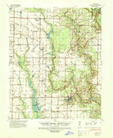
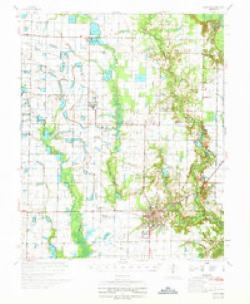
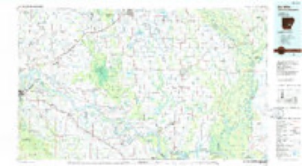
14 topographic sheets cover this place, the earliest surveyed in 1941 and the latest in 1986. It stands in Mill Bayou Township. It lies in ZIP code area 72003. The Survey maps it on the De Witt SW quadrangle. It stands 200 feet above sea level.
Topographic sheets covering this place
10 surveys from 14 printed sheetsMatched by testing this settlement's coordinate against the published boundary of every sheet in the United States Geological Survey's historical collection. Each opens the scanned sheet at the Survey.
- 1941 USGS De Witt quadrangle1:62500
- 1948 USGS Helena quadrangle1:250000
- 1950 USGS Helena quadrangle1:250000, 2 printings
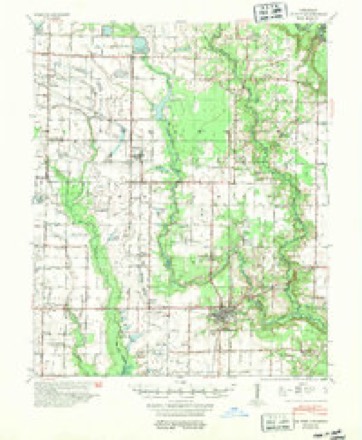
- 1954 USGS De Witt quadrangle1:62500
- 1955 USGS Helena quadrangle1:250000, 2 printings
- 1959 USGS Helena quadrangle1:250000
- 1960 USGS Helena quadrangle1:250000
- 1968 USGS De Witt SW quadrangle1:24000, 2 printings
- 1970 USGS De Witt quadrangle1:62500
- 1986 USGS De Witt quadrangle1:100000, 2 printings
Fires near this place
2 since 2001Regional context, not property-specific evidence. The federal wildfire occurrence database lists 2 fires within 5 miles of Kittlers between 2001 and 2018, burning about 11 acres in total. None started naturally. None was recorded as arson. Distance is straight-line from the map coordinates, so a fire counted here may appear on a neighbouring settlement's page as well.
| Reported cause | Fires |
|---|---|
| Debris and open burning | 1 |
| Missing data/not specified/undetermined | 1 |
The most recent of them, most recent first, with the day each was reported and the service that recorded it.
| Date | Cause | Size | Reported by | Name on the report |
|---|---|---|---|---|
| 2 July 2018 | Missing data/not specified/undetermined | 1.0 acres | Arkansas Forestry Commission | not named |
| 10 March 2001 | Debris and open burning | 10 acres | Arkansas Forestry Commission | not named |
Settlements close enough to share some of these fires:
Storms near this place
3 since 2017Regional context, not property-specific evidence. The National Weather Service names Kittlers in 3 storm reports between 2017 and 2025: 1 flash flood, 1 thunderstorm wind, 1 tornado. No death or injury is recorded in these reports. Each account below is quoted exactly as the forecast office filed it, from the NOAA Storm Events Database, and each date opens the federal record of that event.
| When | Event | Place named | Harm | What the report says |
|---|---|---|---|---|
| June 2020 | Thunderstorm Wind | Kittlers | $1,000 | Tree limbs were broken and shingles were blown off a roof from thunderstorm winds. |
| April 2025 | Tornado (EF2) | Kittlers | - | This tornado is believed to have begun near a grove of trees in the middle of a field to the west of the intersection of Essex Road and Relyea Road. A definitive start point was difficult to discern due to flooding in the area. As this tornado tracked to the northeast, a couple of large metal electrical transmission towers were blown down along Long Point Road west of Kettlers or a few miles southeast of Almyra. From this point, the tornado continued northeast and crossed Stroh Road near Kagebein Road where a metal building system was damaged as well as a small outbuilding and a couple of trailers were observed to have been tipped or flipped over. The tornado crossed State Highway 130 in the 90 degree bend just south of Almyra. Near the intersection of Hillman Rd. and west 14th St. in Almyra evidence of a strong RFD push was noted with a power pole snapped and the siding stripped off of a standalone garage with the damage oriented perpendicular to the tornado track that was observed farther to the east. The tornado tracked northeast partially destroyed boat shop behind a residence in southeast Almyra. Half of the shop's walls were collapsed pulling the concrete anchoring up as the walls folded inward before the metal wall panels were peeled off and carried off to the northeast. Continuing northeast, the tornado damaged another, but older metal building system at the far northeast part of town. Several roofing panels were peeled off the building and a porch like structure was collapsed. boards from the porch structure were blown into a small outbuilding to the east, the impact punching the door inward. Debris from both the boat shop and metal building system were carried northeast and dropped in the fields on either side of Bracewell Rd. Powerlines and wooden power poles were blown down along Moss Rd, and debris could be viewed in the fields off to the northeast of the intersection of Moss and Laurie streets. A definitive ending spot could not be determined due to extensive flooding of roads off to the northeast. Placed the end point of the tornado as far away in the fields as debris was visible in conjunction with radar indicated debris signature and associated rotational couplet. No other damage was reported to the northeast. This tornado was rated an EF2 with maximum estimated winds of 130 mph. Total path length was 8.4 miles. |
| December 2017 | Flash Flood | Kittlers | - | Highway 130 was flooded just north of Murphy Rd. |
Nearest settlements
The eight closest, with where each one stands in the county. Distances are straight-line, computed from the Geographic Names Information System coordinates.
| Map | Place | Distance | Sheets |
|---|---|---|---|
| Almyra | 2.3 miles | 13 | |
| Olena | 2.5 miles | 14 | |
| Sassafras (historical) | 4.3 miles | 13 | |
| Holdridge | 4.4 miles | 13 | |
| Burks | 4.9 miles | 14 | |
| Immanuel | 5.0 miles | 13 | |
| Monica (historical) | 5.3 miles | 14 | |
| Eldridge Corner | 6.2 miles | 14 |
Elsewhere
Matched on this settlement's Geographic Names Information System number rather than its name, so it cannot be a different place of the same name in another state.
| Wikidata item Q29095271 | The structured record the population and elevation above come from. Public domain (CC0). |
Provenance
This settlement is recorded in the Geographic Names Information System as feature 57079. The sheet list is computed by point-in-boundary test against the United States Geological Survey's historical topographic inventory. Both are works of the United States government and carry no copyright under 17 U.S.C. 105.
Wildfire. Short, Karen C. 2022. Spatial wildfire occurrence data for the United States, 1992-2020 [FPA_FOD_20221014]. 6th Edition. Fort Collins, CO: Forest Service Research Data Archive. https://doi.org/10.2737/RDS-2013-0009.6 Collected with United States Government funding and usable without additional permissions or fees.
Storms. NOAA National Centers for Environmental Information, Storm Events Database https://www.ncei.noaa.gov/stormevents/ A work of the United States government, no copyright under 17 U.S.C. 105. Narratives are quoted verbatim from the National Weather Service report and are not edited or summarised.