 Block
Leland, Arkansas
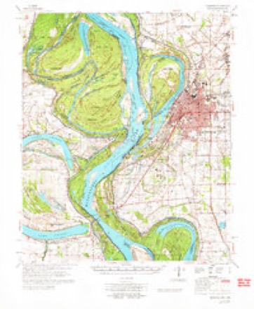
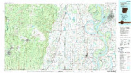
15 topographic sheets cover this place, the earliest surveyed in 1939 and the latest in 1986. It stands in District 6. It lies in ZIP code area 71653. The Survey maps it on the Red Leaf quadrangle.
Topographic sheets covering this place
6 surveys from 15 printed sheetsMatched by testing this settlement's coordinate against the published boundary of every sheet in the United States Geological Survey's historical collection. Each opens the scanned sheet at the Survey.
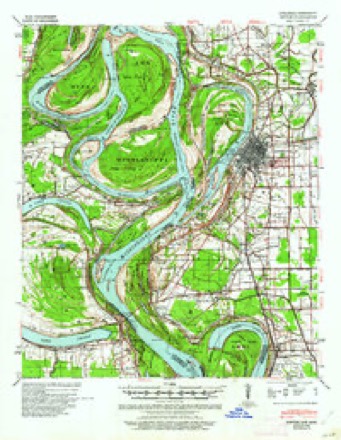
- 1939 USGS Refuge quadrangle1:62500, 4 printings
- 1953 USGS Greenwood quadrangle1:250000, 5 printings
- 1956 USGS Greenwood quadrangle1:250000
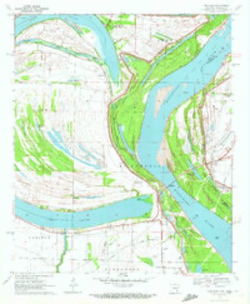
- 1970 USGS Red Leaf quadrangle1:24000, 2 printings
- 1972 USGS Greenville quadrangle1:62500
- 1986 USGS Crossett quadrangle1:100000, 2 printings
Fires near this place
4 since 1993Regional context, not property-specific evidence. The federal wildfire occurrence database lists 4 fires within 5 miles of Leland between 1993 and 2015, burning about 17 acres in total. 1 started naturally. None was recorded as arson. Distance is straight-line from the map coordinates, so a fire counted here may appear on a neighbouring settlement's page as well.
| Reported cause | Fires |
|---|---|
| Natural | 1 |
| Equipment and vehicle use | 1 |
| Debris and open burning | 1 |
| Smoking | 1 |
The most recent of them, most recent first, with the day each was reported and the service that recorded it.
| Date | Cause | Size | Reported by | Name on the report |
|---|---|---|---|---|
| 8 September 2006 | Debris and open burning | 5.0 acres | Arkansas Forestry Commission | not named |
| 10 September 1993 | Smoking | 8.0 acres | Mississippi Forestry Commission | not named |
| 11 August 2006 | Natural | 1.0 acres | Mississippi Forestry Commission | not named |
| 3 October 2015 | Equipment and vehicle use | 3.0 acres | Arkansas Forestry Commission | not named |
Settlements close enough to share some of these fires:
Mines and quarries near this place
3 within 5 milesRegional context, not property-specific evidence. The federal mineral resources record lists 3 workings within 5 miles of Leland: 1 producer, 1 unknown, 1 past producer. 1 still produces. What was taken out: Sand and Gravel, Construction. Distance is straight-line from the map coordinates, so a quarry counted here may appear on a neighbouring settlement's page as well.
| Where | Site | Commodity | Status | Recorded |
|---|---|---|---|---|
| Jack Adams Dredge | Sand and Gravel, Construction | Past Producer | ||
| Lee Mccort Dredge | Sand and Gravel, Construction | Unknown | ||
| Sand Pit | Sand and Gravel, Construction | Producer |
Storms near this place
1 since 2020Regional context, not property-specific evidence. The National Weather Service names Leland in 1 storm report in 2020: 1 tornado. No death or injury is recorded in these reports. Each account below is quoted exactly as the forecast office filed it, from the NOAA Storm Events Database, and each date opens the federal record of that event.
| When | Event | Place named | Harm | What the report says |
|---|---|---|---|---|
| January 2020 | Tornado (EF1) | Leland | $10,000 | This tornado began on the southeast side of the Lake Village Municipal Airport on Airport Road where it rolled and almost destroyed a manufactured home. It is at Airport Road where one injury was reported due to a tree falling on a home. It then moved east-northeast to US Highway 278, breaking 8 to 10 wooden electrical poles. It moved to the northeast of the Lake Village community where it continued to knock down wooden electrical poles and began to uproot and snap large branches from softwood trees along North Lakeshore Drive and along the shore of Lake Chicot. The Lake Village Country Club along North Lakeshore Drive took damage to its roof on the backside. In addition, on the backside of the Country Club, a nearby forested area had multiple snapped large hardwood tree limbs in addition to the tin roof of a metal storage building peeled completely off. Also along North Lakeshore Drive, multiple trees were uprooted and snapped at a trailer park, where one trailer was blown across the street to near the bottom of Lake Chicot. As the tornado continued to track northeast, it moved along AR Highway 144, uprooting trees and snapping large hardwood limbs. Five electrical power poles were downed along Highway 144, as well as another trailer getting rolled to near the bottom of Lake Chicot. The tornado continued to snap large limbs and uproot hardwood trees as it moved across Pecan Ridge Drive. The tornado continued to just north of Levee Road where it lifted, but not before a few uprooting hardwood trees and snapping small to medium sized limbs. It is important to note that a large swath of severe wind speeds resulted in widespread downed trees on Lakehall Road, Sunnyside Road, Stuart Island Road and at the Lake Chicot State Park. Several of these trees fell on power lines causing outages to a large portion of the Lake Village community. This tornado then continued east-northeast across the MS River to across Lake Ferguson in Washington County, where the second floor was blown off of a lake house on South Ferguson Road. In addition, a high concentration of snapped and uprooted hardwood trees was noted on the backside of the lakehouse on South Ferguson Road, thus resulting in the upgraded EF-2 rating. It continued to move east to Highway 1 North where it snapped small to large hardwood tree limbs before dissipating. Estimated peak wind with this tornado was 127 mph. Max width was 850 yards. Total path length was 17.81 miles. |
Nearest settlements
The eight closest, with where each one stands in the county. Distances are straight-line, computed from the Geographic Names Information System coordinates.
| Map | Place | Distance | Sheets |
|---|---|---|---|
| Luna | 2.7 miles | 15 | |
| Vaucluse | 2.9 miles | 15 | |
| Vinson (historical) | 4.9 miles | 15 | |
| Panther Forest | 5.5 miles | 14 | |
| Sunnyside | 5.5 miles | 15 | |
| Yellow Bayou | 5.7 miles | 14 | |
| Point Comfort | 6.0 miles | 15 | |
| Shives | 6.7 miles | 15 |
Provenance
This settlement is recorded in the Geographic Names Information System as feature 58054. The sheet list is computed by point-in-boundary test against the United States Geological Survey's historical topographic inventory. Both are works of the United States government and carry no copyright under 17 U.S.C. 105.
Wildfire. Short, Karen C. 2022. Spatial wildfire occurrence data for the United States, 1992-2020 [FPA_FOD_20221014]. 6th Edition. Fort Collins, CO: Forest Service Research Data Archive. https://doi.org/10.2737/RDS-2013-0009.6 Collected with United States Government funding and usable without additional permissions or fees.
Mines and quarries. USGS Mineral Resources Data System (MRDS) https://mrdata.usgs.gov/mrds/ A work of the United States government, no copyright under 17 U.S.C. 105.
Storms. NOAA National Centers for Environmental Information, Storm Events Database https://www.ncei.noaa.gov/stormevents/ A work of the United States government, no copyright under 17 U.S.C. 105. Narratives are quoted verbatim from the National Weather Service report and are not edited or summarised.