 Block
Levy, Arkansas
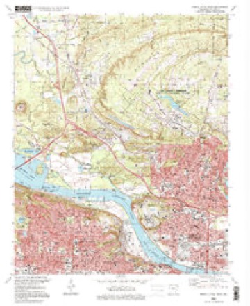
21 topographic sheets cover this place, the earliest surveyed in 1891 and the latest in 1996. It stands in Hill Township. It lies near Big Rock Mountain. The Survey maps it on the North Little Rock quadrangle.
On record in Levy
Buildings and businesses the archive holds for this place. Each opens its own page, with the source record it came from.
On the National Register within a mile 5 records
The National Register names another town for these. They stand within one mile of this settlement's coordinate.
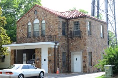 Park Hill Fire Station and Water Company Complexlisted 1993 · 0.7 miles away
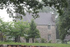 Cherry-Luter Estatelisted 1992 · 0.8 miles away
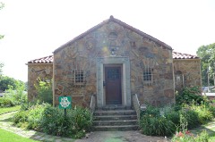 Park Hill Historic Districtlisted 2000 · 0.9 miles away
 North Little Rock High Schoollisted 1993 · 1.0 miles away
- Laman Plaza Gazebolisted 2024 · 0.7 miles away
Topographic sheets covering this place
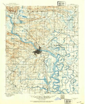
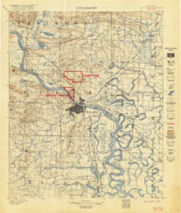
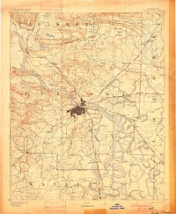
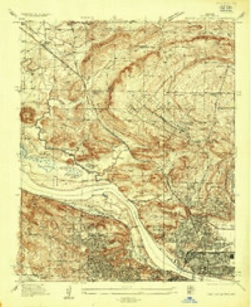
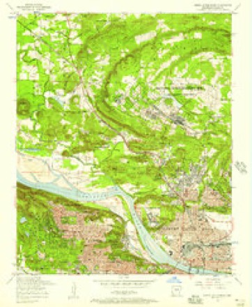
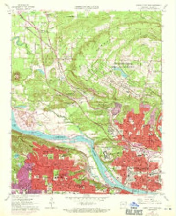
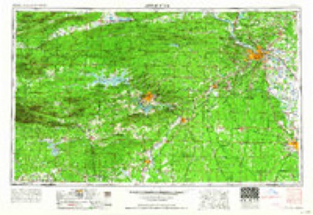
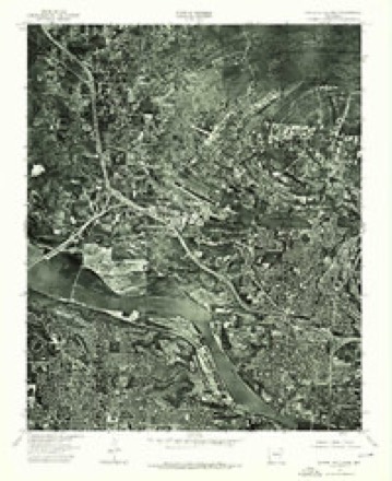
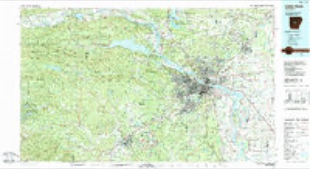
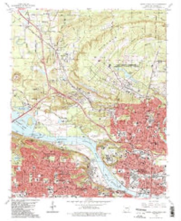
14 surveys from 21 printed sheetsMatched by testing this settlement's coordinate against the published boundary of every sheet in the United States Geological Survey's historical collection. Each opens the scanned sheet at the Survey.
- 1891 USGS Little Rock quadrangle1:125000
- 1893 USGS Camp Pike quadrangle1:125000
- 1893 USGS Little Rock quadrangle1:125000, 4 printings
- 1935 USGS North Little Rock quadrangle1:24000
- 1954 USGS North Little Rock quadrangle1:24000
- 1955 USGS Little Rock quadrangle1:250000
- 1956 USGS Little Rock quadrangle1:250000
- 1960 USGS Little Rock quadrangle1:250000
- 1961 USGS North Little Rock quadrangle1:24000, 4 printings
- 1964 USGS Little Rock quadrangle1:250000
- 1975 USGS North Little Rock quadrangle1:24000
- 1985 USGS Little Rock quadrangle1:100000
- 1986 USGS North Little Rock quadrangle1:24000, 2 printings
- 1996 USGS North Little Rock quadrangle1:24000
Fires near this place
22 since 1999Regional context, not property-specific evidence. The federal wildfire occurrence database lists 22 fires within 5 miles of Levy between 1999 and 2018, burning about 104 acres in total. None started naturally. 7 were recorded as arson. Distance is straight-line from the map coordinates, so a fire counted here may appear on a neighbouring settlement's page as well.
| Reported cause | Fires |
|---|---|
| Missing data/not specified/undetermined | 7 |
| Arson/incendiarism | 7 |
| Debris and open burning | 5 |
| Smoking | 2 |
| Equipment and vehicle use | 1 |
The most recent of them, most recent first, with the day each was reported and the service that recorded it.
| Date | Cause | Size | Reported by | Name on the report |
|---|---|---|---|---|
| 11 September 2013 | Missing data/not specified/undetermined | 1.0 acres | Arkansas Forestry Commission | not named |
| 7 August 1999 | Arson/incendiarism | 5.0 acres | Arkansas Forestry Commission | not named |
| 7 August 1999 | Arson/incendiarism | 2.0 acres | Arkansas Forestry Commission | not named |
| 7 August 1999 | Arson/incendiarism | 2.0 acres | Arkansas Forestry Commission | not named |
| 28 August 2010 | Arson/incendiarism | 1.0 acres | Arkansas Forestry Commission | not named |
| 26 August 2001 | Missing data/not specified/undetermined | 10 acres | Arkansas Forestry Commission | not named |
| 23 August 1999 | Missing data/not specified/undetermined | 1.0 acres | Arkansas Forestry Commission | not named |
| 22 August 1999 | Debris and open burning | 4.0 acres | Arkansas Forestry Commission | not named |
Settlements close enough to share some of these fires:
Mines and quarries near this place
10 of 12 shownRegional context, not property-specific evidence. The federal mineral resources record lists 12 workings within 5 miles of Levy: 8 producers, 2 unknowns, 2 past producers. 8 still produce. What was taken out: Stone, Crushed/Broken, Sand and Gravel, Construction, Clay, Vermiculite. Distance is straight-line from the map coordinates, so a quarry counted here may appear on a neighbouring settlement's page as well.
| Where | Site | Commodity | Status | Recorded |
|---|---|---|---|---|
| Arkansas Calcine Mill | Clay | Producer | ||
| Construction Products Division | Vermiculite | Producer | ||
| Little Rock Plant | Aluminum, Clay | Unknown | ||
| Rauch Mine | Aluminum | Past Producer | ||
| Big Sandy No. 3 | Sand and Gravel, Construction | Producer | ||
| North Little Rock Plant and Dredge | Sand and Gravel, Construction | Producer | ||
| Arch Street Plant | Stone, Crushed/Broken | Producer | ||
| Big Rock Quarry | Stone, Crushed/Broken | Unknown | ||
| Cabot Quarry | Stone, Crushed/Broken | Producer | ||
| Crystal Hl | Stone, Crushed/Broken | Producer |
Storms near this place
38 since 2007Regional context, not property-specific evidence. The National Weather Service names Levy in 38 storm reports between 2007 and 2025: 16 flash flood, 10 hail, 8 thunderstorm wind, 2 lightning. No death or injury is recorded in these reports. Each account below is quoted exactly as the forecast office filed it, from the NOAA Storm Events Database, and each date opens the federal record of that event.
| When | Event | Place named | Harm | What the report says |
|---|---|---|---|---|
| April 2008 | Tornado (EF2) | Levy | $12,000,000 | A tornado began in North Little Rock, south of St. Joseph's Orphanage, near the intersection of Camp Robinson Rd. and Donovan Briley Blvd. It passed through the southeast corner of Camp Joseph T. Robinson, moved across the North Little Rock Airport, continued through parts of Sherwood and Sylvan Hills, and ended on the north side of Gravel Ridge. At the North Little Rock Airport, a number of the hangars suffered substantial damage. Virtually all of the small planes that had been tied down on the parking apron were overturned. A DC3 aircraft rolled about 1/4 mile from the parking apron, across a runway, and into a ditch. A small plane was trapped beneath the DC3 as it rolled along. At the National Weather Service, located at the airport, the staff took shelter for a few minutes in the office's concrete-reinforced safe room. Damage at the weather office was limited to a flagpole, birdhouse, and TV antenna being blown down. At Sylvan Hills High School, a considerable amount of roof damage occurred. The Sherwood Sports Complex, adjacent to the school, suffered substantial damage. Nearby, a tornado siren was blown down. The greatest amount of residential damage occurred in the Hidden Creek subdivision, and on to the northeast on Loop Rd., Kellogg Acres Rd., and Oakdale Rd. |
| July 2007 | Lightning | Levy | $3,000,000 | Lightning struck a church, setting it on fire. Most of the church was destroyed, but firefighters did manage to save the church organ and some of the furnishings from the sanctuary. |
| April 2011 | Thunderstorm Wind | Levy | $1,250,000 | Numerous trees were blown down in the Cherry Hill, Park, Hill, Lakewood, and Heritage Park neighborhoods of North Little Rock. A number of the trees fell on houses and power lines. |
| November 2021 | Lightning | Levy | $50,000 | A house on north Cedar Street was struck by lightning, causing a fire. The residents were displaced , but no injuries were reported. |
| April 2011 | Thunderstorm Wind | Levy | $50,000 | Trees were blown down in the Lakewood area of North Little Rock. |
| October 2009 | Flash Flood | Levy | $50,000 | Several cars were stalled in high water on JFK Boulevard in the Park Hill area of North Little Rock. Many spots on JFK and Arkansas Highway 107 from North Little Rock to Sherwood were covered with water. |
| July 2014 | Thunderstorm Wind | Levy | $15,000 | A tree fell, damaging electrical distribution equipment. |
| August 2025 | Flash Flood | Levy | - | Water covered multiple locations along AR-Highway 107 between the interchange of I-40 and McCain Blvd. |
| June 2025 | Hail | Levy | - | Quarter sized hail fell in the city of North Little Rock in the Levy neighborhood, report via mPING. |
| June 2023 | Thunderstorm Wind | Levy | - | Numerous trees and powerlines were blown down throughout the city of North Little Rock. |
| March 2023 | Flash Flood | Levy | - | Numerous roads and neighborhoods in North Little Rock flooded. |
| May 2022 | Thunderstorm Wind | Levy | - | A tree fell on a power line on North Hills Blvd. just north of Crestwood. |
| April 2022 | Thunderstorm Wind | Levy | - | Trees and power lines were reported down in Park Hill and North Hills. |
| April 2022 | Thunderstorm Wind | Levy | - | A tree was down near the intersection of McCain Blvd. and North Hills Blvd., blocking traffic. |
| April 2022 | Hail | Levy | - | Pea, dime, and nickel sized hail were observed with the storm that moved directly over North Little Rock Airport. |
| April 2021 | Hail | Levy | - | Nickel sized hail was observed near Levy. |
| April 2021 | Hail | Levy | - | Quarter sized hail was noted in North Little Rock. |
| March 2021 | Flash Flood | Levy | - | Pictures relayed, showed flash flooding of water at least one foot deep over a couple of roads in North Little Rock. |
| June 2020 | Flash Flood | Levy | - | The street was flooded with a car stalled in the flooded roadway at 3600 John F. Kennedy Blvd. |
| July 2019 | Flash Flood | Levy | - | Water was reported on Cherry Hill Drive and Cypress Street. Debris was floating down the road. |
| May 2019 | Flash Flood | Levy | - | Street flooding was occurring in NLR on North Cypress Street. |
| February 2018 | Flood | Levy | - | All lanes of highway 70 at highway 161 were temporarily blocked due to high water. |
| May 2018 | Flash Flood | Levy | - | Several roadways were flooded in North Little Rock. |
| July 2018 | Hail | Levy | - | Quarter size hail fell at the NWS Office the the North Little Rock Airport. |
| March 2016 | Flash Flood | Levy | - | Flash flooding of several residential streets was reported between state highways 176 and 107 north of North Little Rock. |
| November 2015 | Flash Flood | Levy | - | Water was flowing over the intersection of Remount Rd. and Spriggs St. |
| May 2011 | Hail | Levy | - | Hail was 3/4 to 1 inch in diameter. |
| July 2010 | Flash Flood | Levy | - | An off-duty National Weather Service employee reported flooding at John F. Kennedy Blvd. and McCain Blvd. in North Little Rock. |
| August 2010 | Flash Flood | Levy | - | Street flooding occurred in North Little Rock. |
| May 2009 | Flash Flood | Levy | - | Minor street flooding occurred on Camp Robinson Road. |
| October 2009 | Flash Flood | Levy | - | McCain Boulevard was impassable due to water over the road. |
| June 2008 | Thunderstorm Wind | Levy | - | Trees and power lines were down on MacArthur Drive. |
| July 2008 | Flash Flood | Levy | - | Water was covering several roadways. |
| January 2007 | Flash Flood | Levy | - | Highway 67/167 was flooded at the McCain exit. |
| July 2018 | Hail | Levy | - | no account filed |
| July 2018 | Hail | Levy | - | no account filed |
| April 2015 | Hail | Levy | - | no account filed |
| April 2008 | Hail | Levy | - | no account filed |
Nearest settlements
The eight closest, with where each one stands in the county. Distances are straight-line, computed from the Geographic Names Information System coordinates.
| Map | Place | Distance | Sheets |
|---|---|---|---|
| Park Hill | 0.9 miles | 21 | |
| North Oaks | 0.9 miles | 21 | |
| Arrowhead Manor | 1.0 miles | 21 | |
| North Little Rock | 1.4 miles | 21 | |
| Amboy | 1.4 miles | 21 | |
| Foxboro | 1.4 miles | 21 | |
| Melanie Park | 1.5 miles | 21 | |
| Lakewood | 1.8 miles | 21 |
Provenance
This settlement is recorded in the Geographic Names Information System as feature 58062. The sheet list is computed by point-in-boundary test against the United States Geological Survey's historical topographic inventory. Both are works of the United States government and carry no copyright under 17 U.S.C. 105.
Wildfire. Short, Karen C. 2022. Spatial wildfire occurrence data for the United States, 1992-2020 [FPA_FOD_20221014]. 6th Edition. Fort Collins, CO: Forest Service Research Data Archive. https://doi.org/10.2737/RDS-2013-0009.6 Collected with United States Government funding and usable without additional permissions or fees.
Mines and quarries. USGS Mineral Resources Data System (MRDS) https://mrdata.usgs.gov/mrds/ A work of the United States government, no copyright under 17 U.S.C. 105.
Storms. NOAA National Centers for Environmental Information, Storm Events Database https://www.ncei.noaa.gov/stormevents/ A work of the United States government, no copyright under 17 U.S.C. 105. Narratives are quoted verbatim from the National Weather Service report and are not edited or summarised.