 Block
Linwood, Arkansas
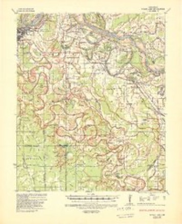
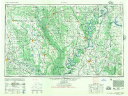
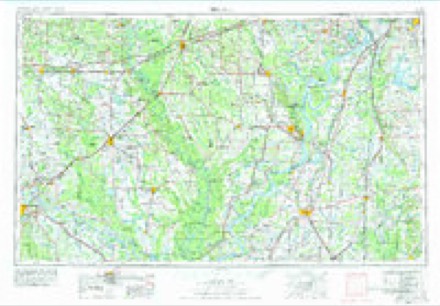
15 topographic sheets cover this place, the earliest surveyed in 1935 and the latest in 1986. It stands in Richland Township. It lies in ZIP code area 71601. The Survey maps it on the Moscow quadrangle.
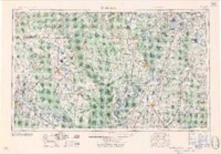
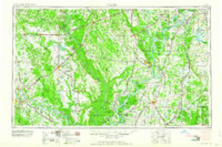
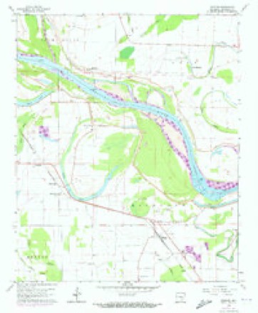
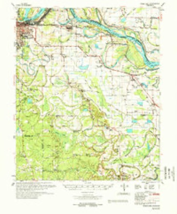
Topographic sheets covering this place
9 surveys from 15 printed sheetsMatched by testing this settlement's coordinate against the published boundary of every sheet in the United States Geological Survey's historical collection. Each opens the scanned sheet at the Survey.
- 1935 USGS Noble Lake quadrangle1:62500, 3 printings
- 1948 USGS Helena quadrangle1:250000
- 1950 USGS Helena quadrangle1:250000, 2 printings
- 1955 USGS Helena quadrangle1:250000, 2 printings
- 1959 USGS Helena quadrangle1:250000
- 1960 USGS Helena quadrangle1:250000
- 1964 USGS Moscow quadrangle1:24000, 2 printings
- 1978 USGS Noble Lake quadrangle1:62500
- 1986 USGS De Witt quadrangle1:100000, 2 printings
Fires near this place
4 since 2005Regional context, not property-specific evidence. The federal wildfire occurrence database lists 4 fires within 5 miles of Linwood between 2005 and 2015, burning about 41 acres in total. None started naturally. 1 was recorded as arson. Distance is straight-line from the map coordinates, so a fire counted here may appear on a neighbouring settlement's page as well.
| Reported cause | Fires |
|---|---|
| Debris and open burning | 3 |
| Arson/incendiarism | 1 |
The most recent of them, most recent first, with the day each was reported and the service that recorded it.
| Date | Cause | Size | Reported by | Name on the report |
|---|---|---|---|---|
| 1 August 2015 | Debris and open burning | 1.0 acres | Arkansas Forestry Commission | not named |
| 8 March 2010 | Debris and open burning | 32 acres | Arkansas Forestry Commission | not named |
| 4 October 2005 | Arson/incendiarism | 6.0 acres | Arkansas Forestry Commission | not named |
| 13 October 2015 | Debris and open burning | 1.6 acres | Arkansas Forestry Commission | not named |
Settlements close enough to share some of these fires:
Mines and quarries near this place
2 within 5 milesRegional context, not property-specific evidence. The federal mineral resources record lists 2 workings within 5 miles of Linwood: 1 past producer, 1 prospect. None of them still produces. What was taken out: Manganese. Distance is straight-line from the map coordinates, so a quarry counted here may appear on a neighbouring settlement's page as well.
| Where | Site | Commodity | Status | Recorded |
|---|---|---|---|---|
| Clous-Dobson | Manganese | Prospect | ||
| Haddock Prospect | Manganese | Past Producer | 1917 |
Storms near this place
2 since 2010Regional context, not property-specific evidence. The National Weather Service names Linwood in 2 storm reports between 2010 and 2012: 1 thunderstorm wind, 1 tornado. No death or injury is recorded in these reports. Each account below is quoted exactly as the forecast office filed it, from the NOAA Storm Events Database, and each date opens the federal record of that event.
| When | Event | Place named | Harm | What the report says |
|---|---|---|---|---|
| January 2012 | Tornado (EF1) | Linwood | $175,000 | At a large farming operation, a shed was thrown over the top of a farm shop, damaging the roof of the shop. In addition, an empty 12,000 gallon fuel tank was overturned and rolled out into a flooded farm field. Nearby, the foundation of a concrete block house was damaged. Along U.S. 65, limbs were blown down next to a church. At the Arkansas River levee, an irrigation pivot was overturned and torn apart. |
| May 2010 | Thunderstorm Wind | Linwood | $10,000 | Five power poles and four trees were blown down along U.S. Highway 65 near Moscow. |
Nearest settlements
The eight closest, with where each one stands in the county. Distances are straight-line, computed from the Geographic Names Information System coordinates.
| Map | Place | Distance | Sheets |
|---|---|---|---|
| Moscow | 0.5 miles | 15 | |
| Noble Lake | 3.3 miles | 15 | |
| Tamo | 3.6 miles | 15 | |
| Cottondale | 3.8 miles | 15 | |
| Dolton (historical) | 4.4 miles | 15 | |
| Sweden | 4.7 miles | 16 | |
| Ray Station (historical) | 5.0 miles | 15 | |
| Hooker | 5.0 miles | 16 |
Provenance
This settlement is recorded in the Geographic Names Information System as feature 58072. The sheet list is computed by point-in-boundary test against the United States Geological Survey's historical topographic inventory. Both are works of the United States government and carry no copyright under 17 U.S.C. 105.
Wildfire. Short, Karen C. 2022. Spatial wildfire occurrence data for the United States, 1992-2020 [FPA_FOD_20221014]. 6th Edition. Fort Collins, CO: Forest Service Research Data Archive. https://doi.org/10.2737/RDS-2013-0009.6 Collected with United States Government funding and usable without additional permissions or fees.
Mines and quarries. USGS Mineral Resources Data System (MRDS) https://mrdata.usgs.gov/mrds/ A work of the United States government, no copyright under 17 U.S.C. 105.
Storms. NOAA National Centers for Environmental Information, Storm Events Database https://www.ncei.noaa.gov/stormevents/ A work of the United States government, no copyright under 17 U.S.C. 105. Narratives are quoted verbatim from the National Weather Service report and are not edited or summarised.