 Block
Martindale, Arkansas
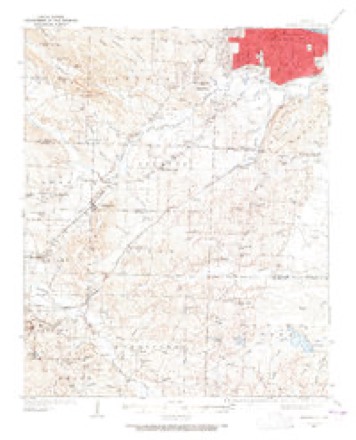
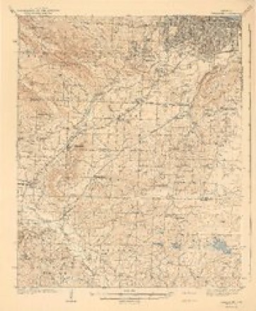
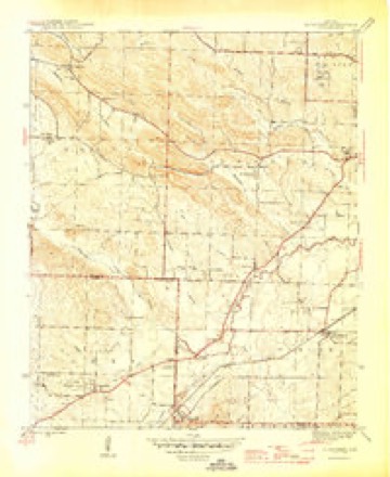
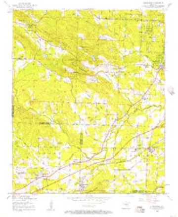
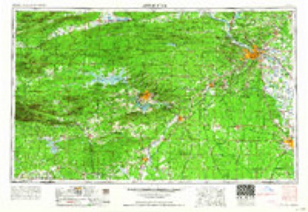
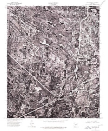
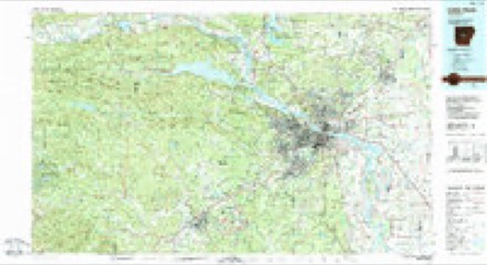
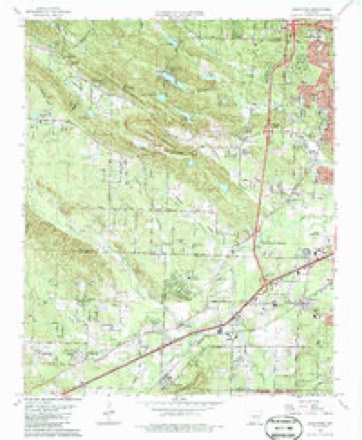
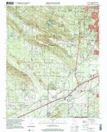
25 topographic sheets cover this place, the earliest surveyed in 1891 and the latest in 1994. It stands in Big Rock Township. It lies in ZIP code area 72210. It lies near Ellis Mountain. The Survey maps it on the Alexander quadrangle.
Topographic sheets covering this place
17 surveys from 25 printed sheetsMatched by testing this settlement's coordinate against the published boundary of every sheet in the United States Geological Survey's historical collection. Each opens the scanned sheet at the Survey.
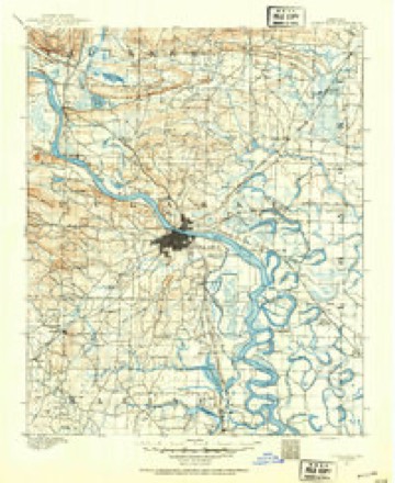
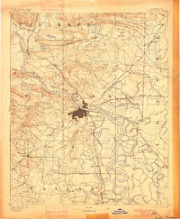
- 1891 USGS Little Rock quadrangle1:125000
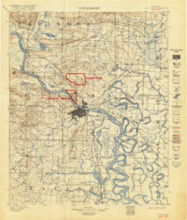
- 1893 USGS Camp Pike quadrangle1:125000
- 1893 USGS Little Rock quadrangle1:125000, 4 printings
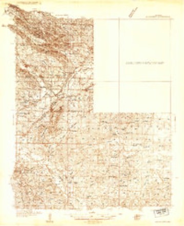
- 1935 USGS Alexander quadrangle1:48000
- 1935 USGS Alexander quadrangle1:62500
- 1941 USGS Alexander quadrangle1:62500, 2 printings
- 1944 USGS Alexander quadrangle1:31680, 2 printings
- 1954 USGS Alexander quadrangle1:24000
- 1955 USGS Little Rock quadrangle1:250000
- 1956 USGS Little Rock quadrangle1:250000
- 1960 USGS Little Rock quadrangle1:250000
- 1961 USGS Alexander quadrangle1:24000, 4 printings
- 1964 USGS Little Rock quadrangle1:250000
- 1975 USGS Alexander quadrangle1:24000
- 1985 USGS Little Rock quadrangle1:100000
- 1986 USGS Alexander quadrangle1:24000
- 1994 USGS Alexander quadrangle1:24000
Fires near this place
83 since 1997Regional context, not property-specific evidence. The federal wildfire occurrence database lists 83 fires within 5 miles of Martindale between 1997 and 2020, burning about 705 acres in total. 1 started naturally. 20 were recorded as arson. Distance is straight-line from the map coordinates, so a fire counted here may appear on a neighbouring settlement's page as well.
| Reported cause | Fires |
|---|---|
| Debris and open burning | 30 |
| Missing data/not specified/undetermined | 22 |
| Arson/incendiarism | 20 |
| Misuse of fire by a minor | 5 |
| Recreation and ceremony | 3 |
| Railroad operations and maintenance | 1 |
| Smoking | 1 |
| Natural | 1 |
The most recent of them, most recent first, with the day each was reported and the service that recorded it.
| Date | Cause | Size | Reported by | Name on the report |
|---|---|---|---|---|
| 23 September 2010 | Debris and open burning | 10 acres | Arkansas Forestry Commission | not named |
| 2 September 2007 | Arson/incendiarism | 4.0 acres | Arkansas Forestry Commission | not named |
| 15 September 2001 | Misuse of fire by a minor | 1.0 acres | Arkansas Forestry Commission | not named |
| 1 September 2007 | Arson/incendiarism | 20 acres | Arkansas Forestry Commission | not named |
| 9 August 1999 | Arson/incendiarism | 3.0 acres | Arkansas Forestry Commission | not named |
| 30 August 2000 | Missing data/not specified/undetermined | 3.0 acres | Arkansas Forestry Commission | not named |
| 25 August 2007 | Arson/incendiarism | 10 acres | Arkansas Forestry Commission | not named |
| 21 August 2000 | Debris and open burning | 5.0 acres | Arkansas Forestry Commission | not named |
Settlements close enough to share some of these fires:
Mines and quarries near this place
6 within 5 milesRegional context, not property-specific evidence. The federal mineral resources record lists 6 workings within 5 miles of Martindale: 5 unknowns, 1 producer. 1 still produces. What was taken out: Stone, Crushed/Broken, Silica, Slate, Dimension. Distance is straight-line from the map coordinates, so a quarry counted here may appear on a neighbouring settlement's page as well.
| Where | Site | Commodity | Status | Recorded |
|---|---|---|---|---|
| No Name | Slate, Dimension | Unknown | ||
| H. J. White Prospect | Silica | Unknown | ||
| Quartz Crystal Prospect | Silica | Unknown | ||
| Pulaski County Rock Quarry | Stone, Crushed/Broken | Unknown | ||
| Tayor Quarry & Plant | Stone, Crushed/Broken | Producer | ||
| Unknown Quarry | Stone, Crushed/Broken | Unknown |
Storms near this place
9 since 2010Regional context, not property-specific evidence. The National Weather Service names Martindale in 9 storm reports between 2010 and 2025: 4 thunderstorm wind, 3 hail, 1 flash flood, 1 tornado. The reports record 54 injuries. Each account below is quoted exactly as the forecast office filed it, from the NOAA Storm Events Database, and each date opens the federal record of that event.
| When | Event | Place named | Harm | What the report says |
|---|---|---|---|---|
| March 2023 | Tornado (EF3) | Martindale | 54 hurt, $85,710,000 | This tornado started just southwest of the Colonel |Glenn and Marsh Road intersection in Martindale, west of Marsh road, |uprooting trees and ripping a portion of a roof off an outbuilding. |The tornado then continued northeast across a forested area, |uprooting several more trees before crossing into a neighborhood off |Capitol Hill Boulevard near Hartford and Denver Streets. More |trees were uprooted as it moved northeast towards Kanis Road. ||The tornado rapidly intensified as it passed northeast over Chenal |Parkway, severely damaging several apartment buildings off of Napa |Valley Drive. The most severe residential damage occurred at these |apartments, and along and west of North Shackleford Road along |Jamestown Drive and Cobble Hill Road. Most exterior walls had |collapsed on several homes, leaving just some interior walls |standing.||The tornado then crossed Interstate 430 near the North Rodney Parham Road |interchange, damaging a shopping center and a Kroger. Between Interstate 430 |and Cantrell Road, many homes and apartments were severely damage, |with roofs ripped off and hundreds of trees uprooted. The tornado |crossed Cantrell Road near Foxtrot Road, damaging more apartments |and many businesses. Between Cantrell Road and the Arkansas River, |many more homes were damaged from the tornado winds or trees falling|onto those homes in the Cammack Village neighborhood. Before|crossing the river, many trees were uprooted or trunks snapped at|Murray Park. The tornado then uprooted or snapped hundreds, if|not thousands of trees at Burns Park, both north and south of Interstate|40. The tornado crossed Interstate 40 just west of exit 150, passing over|ball fields and recreation areas west of Military Drive. A new|fire station still under construction was also damaged along|Military Drive.||The tornado then passed over MacArther Drive near the Military Drive |intersection in Amboy, severely damaging many more homes and businesses.|Several more homes and apartments were damaged between Military Drive |and Remount Road, with the tornado passing over Remount Road between |Kierre Drive and Camp Robinson Road. Most of the damage in these areas |consisted of severe roof damage and uprooted trees, though there were |some homes who completely lost their roofs. ||The tornado then moved into the Indian Hills neighborhood of North Little |Rock, with more damaged roofs. A few homes along Flintrock Road near |Osage Drive lost their entire roofs, along with many homes damaged by trees|falling onto homes. The tornado seemed to weaken a bit as it|passed over North Hills Boulevard, with some less severe roof|damage and many uprooted trees. The tornado crossed over John F.|Kennedy Boulevard near Club Road, traveling northeast through|Sherwood generally along Lee Avenue, damaging many more homes as|it continued towards Kiehl Avenue. The tornado crossed over Kiehl|Avenue near Northgate Drive and Woodridge Lane, damaging more|homes and some businesses. This tornado passed over Brockington|Road north of Kiehl Avenue, ripping a roof off an apartment|building along Calloway Avenue, then passing over Indianhead Lake|uprooting several more trees and damaging more roofs.||The tornado then passed over rural marsh land just northwest of U.S. Highway 67 near|the Interstate 440 interchange, uprooting more trees before crossing U.S. Highway|67 near the Redmond Road exit at Jacksonville. A tractor-trailer|was flipped over along U.S. Highway 67, along with damage to signage along|the road. The tornado moved over the ball fields south of Redmond|Road, then into some neighborhoods where the tornado seemed to|strengthen, severely damaging more homes and businesses along|Stone and McHenry Streets, Eastview Drive and South 1st Street. A|church was completely destroyed along North Elm Street south of|Graham Road. More homes were damaged north of Graham Road west of|J. P. Wright Loop Road before the tornado passed over the Holland|Bottoms State Wildlife Area west of Kerr Station Road. Many trees|were snapped or uprooted in this wildlife area. This tornado was rated an EF3 with maximum estimated winds of 165 mph within Pulaski County. This tornado continued into Lonoke County. |
| May 2016 | Thunderstorm Wind | Martindale | $5,000 | A home was damaged along Sacred Path Road. |
| May 2010 | Flash Flood | Martindale | $100 | The intersection of Lawson Road and Sparks Road was flooded and had to be barricaded until the water receded. |
| April 2025 | Thunderstorm Wind | Martindale | - | Multiple trees were blown down in the vicinity of the far western Little Rock metro. |
| July 2022 | Thunderstorm Wind | Martindale | - | The Entergy outage map showed multiple customers without power in this area due to wind damage related to thunderstorms. |
| June 2016 | Thunderstorm Wind | Martindale | - | Several trees were down on Colonel Glenn Rd. approximately 4 miles west of Interstate 430. |
| April 2013 | Hail | Martindale | - | Nickel size hail fell on Lawson Rd. in Little Rock. |
| April 2023 | Hail | Martindale | - | no account filed |
| April 2015 | Hail | Martindale | - | no account filed |
Nearest settlements
The eight closest, with where each one stands in the county. Distances are straight-line, computed from the Geographic Names Information System coordinates.
| Map | Place | Distance | Sheets |
|---|---|---|---|
| Alpine | 0.8 miles | 25 | |
| Twin Springs | 0.8 miles | 25 | |
| Banty (historical) | 1.4 miles | 25 | |
| Spring Valley | 1.6 miles | 25 | |
| Holly Springs | 2.2 miles | 20 | |
| Shady Grove | 2.3 miles | 20 | |
| Parkway Place | 2.8 miles | 20 | |
| Rock Creek | 3.0 miles | 20 |
Provenance
This settlement is recorded in the Geographic Names Information System as feature 58130. The sheet list is computed by point-in-boundary test against the United States Geological Survey's historical topographic inventory. Both are works of the United States government and carry no copyright under 17 U.S.C. 105.
Wildfire. Short, Karen C. 2022. Spatial wildfire occurrence data for the United States, 1992-2020 [FPA_FOD_20221014]. 6th Edition. Fort Collins, CO: Forest Service Research Data Archive. https://doi.org/10.2737/RDS-2013-0009.6 Collected with United States Government funding and usable without additional permissions or fees.
Mines and quarries. USGS Mineral Resources Data System (MRDS) https://mrdata.usgs.gov/mrds/ A work of the United States government, no copyright under 17 U.S.C. 105.
Storms. NOAA National Centers for Environmental Information, Storm Events Database https://www.ncei.noaa.gov/stormevents/ A work of the United States government, no copyright under 17 U.S.C. 105. Narratives are quoted verbatim from the National Weather Service report and are not edited or summarised.