 Block
Trumann, Arkansas
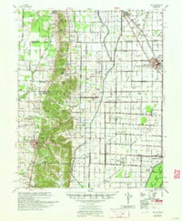
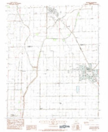
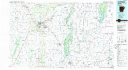
9 topographic sheets cover this place, the earliest surveyed in 1940 and the latest in 1986. It stands in Willis Township. It lies in ZIP code area 72472. The Survey maps it on the Trumann quadrangle. 7,399 people lived here at the 2020 count. It stands 226 feet above sea level.
On record in Trumann
Buildings and businesses the archive holds for this place. Each opens its own page, with the source record it came from.
On the National Register 3 records
 Maxie Theatrelisted 2011
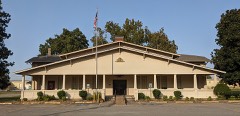 Poinsett Community Clublisted 1986
- Poinsett Lumber and Manufacturing Company Manager's Houselisted 2010
Population over time
2 figuresTrumann grew from 7,243 to 7,399 between 2010 and 2020. These are the recorded population figures Wikidata holds for this place, reached through the Geographic Names Information System number this page is keyed on rather than by name, so they belong to this place and not to another of the same name. Most are census counts, but not all are: an early figure may be a founding or settlement estimate, and an estimate published within five years of a census is left out. The change column is computed, and is left blank where more than 20 years separate a figure from the one before it, because a gap that long is not a change between two counts.
| Year | People | Change |
|---|---|---|
| 2010 | 7,243 | |
| 2020 | 7,399 | +156 (+2%) |
Topographic sheets covering this place
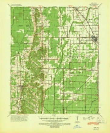
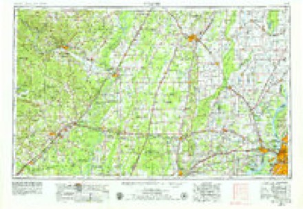
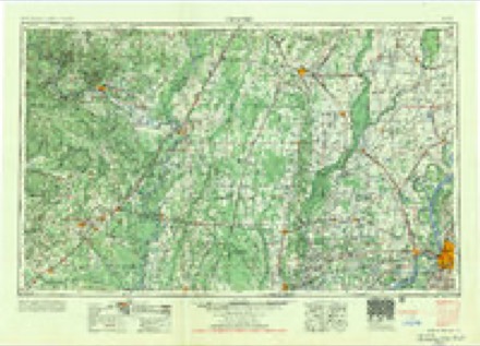
6 surveys from 9 printed sheetsMatched by testing this settlement's coordinate against the published boundary of every sheet in the United States Geological Survey's historical collection. Each opens the scanned sheet at the Survey.
- 1940 USGS Dee quadrangle1:62500
- 1953 USGS Memphis quadrangle1:250000, 3 printings
- 1956 USGS Memphis quadrangle1:250000
- 1958 USGS Dee quadrangle1:62500
- 1983 USGS Trumann quadrangle1:24000
- 1986 USGS Jonesboro quadrangle1:100000, 2 printings
Storms near this place
48 since 1995Regional context, not property-specific evidence. The National Weather Service names Trumann in 48 storm reports between 1995 and 2023: 18 hail, 17 thunderstorm wind, 8 flash flood, 2 tornado. No death or injury is recorded in these reports. Each account below is quoted exactly as the forecast office filed it, from the NOAA Storm Events Database, and each date opens the federal record of that event.
| When | Event | Place named | Harm | What the report says |
|---|---|---|---|---|
| December 2021 | Tornado (EF2) | Trumann | $6,300,000 | Tornado developed just southwest of Trumann and destroyed about 70 homes and damaged another 100 homes. Several businesses were damaged or destroyed. There was also widespread tree damage. The fire station was also heavily damaged. The worst damage was in the northeast part of Trumann with businesses and homes destroyed. Tornado path ended near the St. Francis River. Peak winds were estimated at 130 mph. |
| April 2002 | Thunderstorm Wind | Trumann | $500,000 | The local high school and elementary school had windows broken. Fifteen police cars were severely damaged. Several trees were blown down. |
| May 2013 | Flash Flood | Trumann | $424,000 | Approximately five inches of rain fell across northern and western Poinsett County resulting in flash flooding. A few homes and several county roads were flooded. Many of the roads that were flooded were badly damaged and had to be repaired. |
| May 2009 | Flash Flood | Trumann | $250,000 | Heavy rain produced flash flooding in Trumann. Twenty four homes were flooded along Mulberry Drive. |
| May 2011 | Flood | Trumann | $200,000 | Heavy rain during late April into early May caused the St. Francis River to rise to near record levels. The river remained above flood stage through the end of May. Several homes sustained minor damage from the flooding. The city of Payneway had to be evacuated as a result of the flooding. Several roads were closed and/or damaged. Several hundred acres of cropland was flooded. |
| December 2009 | Flash Flood | Trumann | $91,000 | Heavy rain produced flash flooding around Poinsett County. Numerous roads around the county were closed due to high water including Highways 1, 14, and 69. |
| February 2018 | Thunderstorm Wind | Trumann | $60,000 | Estimated gust. Light poles and trees down in the Trumann area. |
| September 2019 | Thunderstorm Wind | Trumann | $50,000 | Video scoreboard at RMC Stadium in Trumann was knocked down by straight line winds. |
| July 2002 | Lightning | Trumann | $50,000 | The Providence Baptist Church in Trumann was destroyed by a fire started by lightning. |
| May 2010 | Thunderstorm Wind | Trumann | $25,000 | Straight line winds knocked down five power poles in Trumann. A pivot irrigation unit and buildings at a farm store storage compound near the Craighead County border were damaged from the wind. In addtion, a house was hit with a tree in Lepanto. |
| May 2003 | Thunderstorm Wind | Trumann | $25,000 | A house had part of its second floor ripped off. Some trees were knocked down. |
| April 2007 | Thunderstorm Wind | Trumann | $21,000 | Straight line winds knocked down a tree down on two vehicles of a home on a Butterfield street. The family had just pulled in the drive-way when the tree fell on top of their vehicle smashing it. The tree also fell on top of the family's second vehicle causing damage as well. No injuries were reported. |
| December 2021 | Thunderstorm Wind | Trumann | $10,000 | Straight-line winds caused roof damage to a business south of the EF-2 tornado track in Trumann. |
| January 2012 | Thunderstorm Wind | Trumann | $5,000 | Several houses had roof damage. Some trees were blown down. |
| July 2005 | Lightning | Trumann | $5,000 | A home was damaged by a fire started by lightning. |
| May 2003 | Thunderstorm Wind | Trumann | $5,000 | Some trees were blown down. |
| January 2000 | Thunderstorm Wind | Trumann | $5,000 | A few trees were blown down. |
| May 1995 | Hail | Trumann | $5,000 | no account filed |
| July 2023 | Thunderstorm Wind | Trumann | $3,000 | A tree and flag pole were knocked down in Trumann. |
| July 2023 | Thunderstorm Wind | Trumann | $2,000 | A tree was knocked down on Freer Road. |
| August 1995 | Thunderstorm Wind | Trumann | $2,000 | A few power lines were blown down. |
| October 2009 | Flash Flood | Trumann | $1,000 | More than two miles of Arkansas Highway 69 had to be closed due to flooding. |
| May 2006 | Thunderstorm Wind | Trumann | $1,000 | Straight line winds blew some trees down 2 miles south of Trumann. |
| May 2006 | Hail | Trumann | $1,000 | no account filed |
| August 2006 | Hail | Trumann | $1,000 | no account filed |
| March 1997 | Hail | Trumann | $500 | no account filed |
| August 2000 | Hail | Trumann | $50 | no account filed |
| March 2002 | Hail | Trumann | $10 | no account filed |
| April 1998 | Hail | Trumann | $10 | no account filed |
| March 1997 | Hail | Trumann | $10 | no account filed |
| March 2016 | Flash Flood | Trumann | - | Heavy rain caused flash flooding in Trumann. Ozark Street was closed due to high water. |
| July 2014 | Flash Flood | Trumann | - | Two thunderstorms merged together over Trumann. As a result, the intersection of West Main Street and North Pine Avenue was covered with seven inches of water. |
| July 2014 | Thunderstorm Wind | Trumann | - | Straight line winds knocked down a couple of trees in Trumann. |
| June 2013 | Hail | Trumann | - | Quarter size hail fell near Trumann. |
| June 2012 | Thunderstorm Wind | Trumann | - | Straight line winds knocked down power lines in Trumann. |
| May 2011 | Flash Flood | Trumann | - | Heavy rain produced flash flooding in Trumann. Highway 69 was closed in town as a result of high water. |
| July 2009 | Thunderstorm Wind | Trumann | - | Straight line winds knocked down trees and power lines in Trumann. |
| April 2009 | Hail | Trumann | - | Penny size hail fell along Highway 463 just south of Bay on the Craighead/Poinsett County line. |
| June 2009 | Flash Flood | Trumann | - | Heavy rain produced flash flooding along creeks and streams around Trumann. Several streets were flooded as a result. |
| March 2002 | Tornado (F0) | Trumann | - | A tornado briefly touched down in an open field producing very little damage. |
| April 2021 | Hail | Trumann | - | no account filed |
| May 2020 | Hail | Trumann | - | no account filed |
| April 2017 | Hail | Trumann | - | no account filed |
| April 2011 | Hail | Trumann | - | no account filed |
| May 2011 | Hail | Trumann | - | no account filed |
| April 2011 | Hail | Trumann | - | no account filed |
| April 2009 | Hail | Trumann | - | no account filed |
| June 2009 | Hail | Trumann | - | no account filed |
Nearest settlements
The eight closest, with where each one stands in the county. Distances are straight-line, computed from the Geographic Names Information System coordinates.
| Map | Place | Distance | Sheets |
|---|---|---|---|
| Dobell | 0.7 miles | 9 | |
| Carr (historical) | 1.3 miles | 9 | |
| Merced (historical) | 2.5 miles | 9 | |
| Hatchie Coon | 2.8 miles | 11 | |
| Maple Grove | 3.3 miles | 9 | |
| Stacy | 3.4 miles | 9 | |
| Ruffin (historical) | 3.4 miles | 9 | |
| Donnick | 3.8 miles | 11 |
Elsewhere
Matched on this settlement's Geographic Names Information System number rather than its name, so it cannot be a different place of the same name in another state.
| Wikipedia article on Trumann | An encyclopaedic summary. Its text is share-alike, so it is linked here rather than copied. |
| Wikidata item Q80104 | The structured record the population and elevation above come from. Public domain (CC0). |
Provenance
This settlement is recorded in the Geographic Names Information System as feature 78590. The sheet list is computed by point-in-boundary test against the United States Geological Survey's historical topographic inventory. Both are works of the United States government and carry no copyright under 17 U.S.C. 105.
Storms. NOAA National Centers for Environmental Information, Storm Events Database https://www.ncei.noaa.gov/stormevents/ A work of the United States government, no copyright under 17 U.S.C. 105. Narratives are quoted verbatim from the National Weather Service report and are not edited or summarised.