BlockBefore
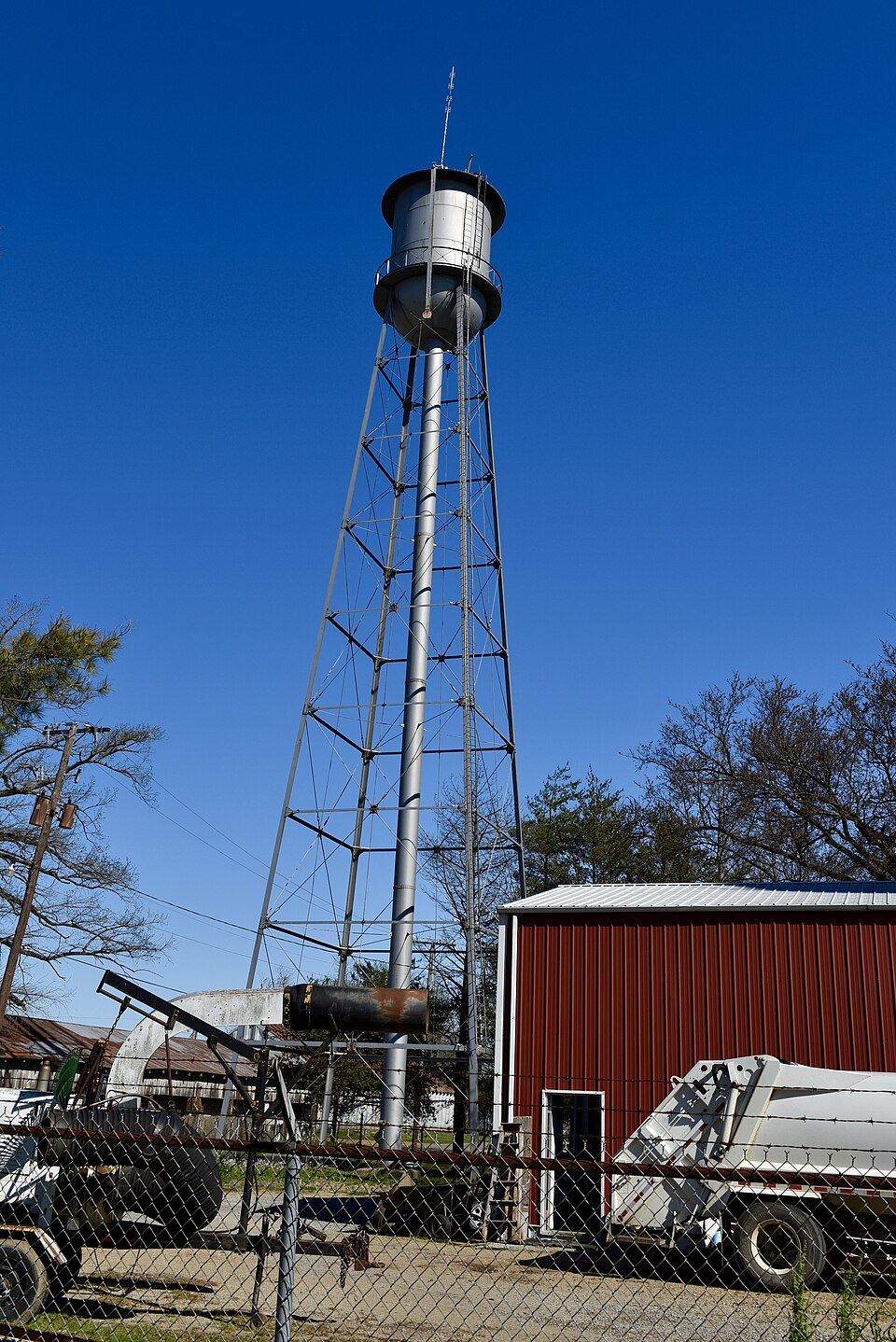
Photograph of Keiser Water Tower
Photograph by Jim Roberts, CC BY-SA 4.0. Via Wikimedia Commons.

Keiser Water Tower

Listed on the National Register of Historic Places in 2007.

From the record

“The Keiser Water Tower is a historic waterworks facility at Water and East Main Street in Keiser, Arkansas. It is an open metal structure, several stories high, with a roughly cylindrical tank at the top, and a rising through the center to provide water to the tank.”

Wikipedia article Keiser Water Tower, CC BY-SA 4.0.

One of 40 National Register listings published here for Mississippi County · listed in 2007 · category: Structure.

Sources: the Wikipedia article · the National Register database, National Park Service
The listing

  • What is counted as historic. The nomination lists 1 structure as contributing to the listing.
  • Address. Jct. of the Water and E. Main Sts., Keiser, 72351
  • When was it listed? January 2007
  • Category. structure
  • Also known as. New Deal Recovery Efforts in Arkansas MPS
  • Township. Monroe township
  • National Register reference number. 06001283 - assigned by the National Park Service when the property was listed.

Storms near this property

10 since 1998

Regional context, not property-specific evidence. The National Weather Service names Keiser, the town this property stands in, in 10 storm reports between 1998 and 2021: 4 hail, 4 thunderstorm wind, 2 tornado. The reports record 1 injury. Each account below is quoted exactly as the forecast office filed it, from the NOAA Storm Events Database, and each date opens the federal record of that event.

WhenEvent Place namedHarm What the report says
February 2018Tornado (EF2)Keiser1 hurt, $1,000,000The tornado started just southwest of the town of Keiser. Several buildings in town lost parts of their roofs and had windows blown out. A couple of buildings had partial or entire roof loss. Blown transformers and downed trees were observed across the community. The tornado continued through fields and then crossed Interstate 55, causing considerable damage to a hotel. Additional damage was noted to a metal building facility near Keiser Road and Denso Road. The tornado continued northeast over open fields, lifting before reaching South County Road 535. Peak winds were estimated at 125 mph.
May 2003Tornado (F1)Keiser$25,000The tornado touched down southwest of Keiser and tracked northeast. Several homes were damaged and some trees were blown down.
July 2004Thunderstorm WindKeiser$10,000A pole was blown into a car windshield on Interstate 55.
May 2003Thunderstorm WindKeiser$5,000Some trees and tree limbs were blown down.
April 2006HailKeiser$2,500no account filed
October 2021Thunderstorm WindKeiser$2,000Tree down in Keiser.
May 2008HailKeiser$2,000no account filed
March 2008HailKeiser$1,000no account filed
April 1998HailKeiser$20no account filed
June 2014Thunderstorm WindKeiser-Straight line winds blew a roof off a mobile home near Keiser. Power lines were also knocked down near Highways 181 and 239.

Every storm recorded in Mississippi County

Map coverage status

No historic map-sheet match is published for this property yet. That does not mean no map exists. This record needs a coordinate-quality review before it can be joined to a sheet boundary. Browse the county's mapped places while that work is pending.

Listed places nearby

6 within 8 miles

Other National Register properties close enough to walk or drive between, ordered by distance from this one. Both positions come from the same geocoding pass that matched these properties to their map sheets.

Photograph PropertyDistance Listed
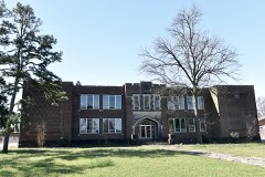
Keiser School0.3 miles1992
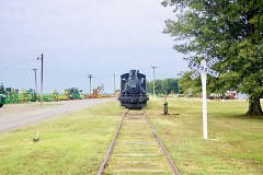
Jonesboro, Lake City & Eastern Railroad Steam Locomotive #34 and Associated Rolling Stock5.9 miles2022
Minaret Manor6.8 miles2017
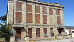
Florida Brothers Building7.3 miles1987
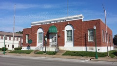
City Hall7.3 miles1987
Mississippi County Jail7.4 miles1987

Sources for this property

National Archives recordThe nomination case file for reference 06001283 in Record Group 79.
Wikipedia articleCommunity-written account of this property, licensed CC BY-SA.
Mississippi CountyAll 40 listed properties in this county.

Provenance

  • Listing record. National Park Service National Register of Historic Places, listed-properties dataset, current to 2026-05-22.
  • Map join. Address geocoded through the United States Census geocoder, then tested against the published boundary of every sheet in the USGS Historical Topographic Map Collection.
  • How this page is made. Listing fields come from federal records; map-sheet coverage is a labelled coordinate-to-boundary calculation, not a source-field claim.
  • Storms. NOAA National Centers for Environmental Information, Storm Events Database https://www.ncei.noaa.gov/stormevents/ A work of the United States government, no copyright under 17 U.S.C. 105. Narratives are quoted verbatim from the National Weather Service report and are not edited or summarised.