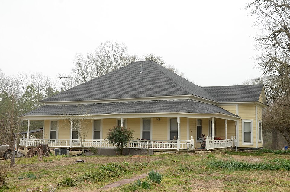
| February 2013 | Thunderstorm Wind | Bismarck | 4 hurt, $175,000 | A house was destroyed when it slid off its foundation. Three vehicles were moved and one was overturned. Four people inside the house suffered injuries. One of the people ended up in the front yard. A small pool house, located only about 20 feet behind the destroyed house, had virtually no damage to it. |
| July 2022 | Thunderstorm Wind | Bismarck | $100,000 | Delayed report...The press box was blown off of the bleachers at the Bismarck High School Football Field. Additional damage was done to a gas station awning off of Hwy. 84 and Hwy. 7. The time was estimated by radar. |
| February 2013 | Thunderstorm Wind | Bismarck | $75,000 | Barns and sheds were damaged or destroyed, a carport was blown away, shingles were blown off roofs, and trees and power lines were blown down. |
| April 1994 | Thunderstorm Wind | Bismarck | $50,000 | Thunderstorm winds knocked down trees and power lines and blew several cars off of the road. |
| April 2009 | Thunderstorm Wind | Bismarck | $20,000 | Trees downed power lines in Bismarck, and caused damage to a shed and two boats. |
| July 2013 | Thunderstorm Wind | Bismarck | $15,000 | Numerous trees were blown down in Bismarck and along Arkansas 84 just east of town. |
| February 2012 | Thunderstorm Wind | Bismarck | $15,000 | Trees and power lines were blown down in Bismarck. |
| April 2011 | Thunderstorm Wind | Bismarck | $15,000 | A shed roof was blown off, a carport was damaged, and trees were blown down. |
| May 2001 | Lightning | Bismarck | $15,000 | Lightning struck a trailer that contained ammunition. A fire was ignited by the lightning strike which destroyed the trailer. |
| February 2018 | Flash Flood | Bismarck | $10,000 | Road was washed out at the highway 7 and 84 intersection in Bismarck. |
| July 2016 | Thunderstorm Wind | Bismarck | $10,000 | Widespread damage at Bismark. At least 3 large oak trees down. Two outbuildings were destroyed. |
| May 2015 | Thunderstorm Wind | Bismarck | $10,000 | High winds caused some damage to some buildings around De Gray Lake. |
| August 2011 | Thunderstorm Wind | Bismarck | $10,000 | Trees and power lines were blown down in Bismarck. |
| April 2008 | Flash Flood | Bismarck | $10,000 | Flooding occurred at the junction of Arkansas Highways 7 and 84. Flooding also occurred on Hickory Grove and Mountain View Roads. |
| July 2022 | Thunderstorm Wind | Bismarck | $5,000 | Winds caused minor damage to the Southern Bancorp building in Bismarck. |
| November 1993 | Thunderstorm Wind | Bismarck | $500 | Thunderstorm winds blew down a few large trees. |
| May 2025 | Thunderstorm Wind | Bismarck | - | Trees and power lines were blown down with a few of these trees damaging homes in Bismarck. Trees were also down across Highway 128 near Caney. |
| May 2021 | Thunderstorm Wind | Bismarck | - | The emergency manager called to say that multiple trees were down across Hot Spring County. A tree was on a home in Bismarck. |
| March 2020 | Hail | Bismarck | - | In addition to quarter size hail, the observer reported one inch of rain in 45 minutes. |
| October 2019 | Thunderstorm Wind | Bismarck | - | Power lines were blown down in the 6000 block of Highway 7. |
| October 2019 | Thunderstorm Wind | Bismarck | - | A tree was blown over. |
| May 2019 | Thunderstorm Wind | Bismarck | - | Power lines were blown down across Highway 7 near Bismarck. |
| February 2018 | Flash Flood | Bismarck | - | Hickory Grove Rd. was flooded by water in Bismarck. |
| February 2018 | Thunderstorm Wind | Bismarck | - | Trees and powerlines were reported to be blown down in the town of Bismarck. |
| May 2016 | Thunderstorm Wind | Bismarck | - | A few trees were reported down. |
| May 2015 | Flood | Bismarck | - | Highway 7 south of Bismark was flooded. |
| November 2012 | Hail | Bismarck | - | Hail ranging from .50 inch to 1.50 inches in diameter fell in the Bismarck area. The hail covered the ground in some places. |
| July 2010 | Flash Flood | Bismarck | - | Water covered the road at the intersection of Arkansas Highways 84 and 7. |
| June 2009 | Thunderstorm Wind | Bismarck | - | Some large limbs were down across the area. |
| March 2008 | Hail | Bismarck | - | Hail covered the ground in Bismarck. |
| May 2007 | Flash Flood | Bismarck | - | Arkansas Highway 7 was flooded north of Bismarck. |
| September 2006 | Thunderstorm Wind | Bismarck | - | Large tree limbs downed. |
| June 2004 | Thunderstorm Wind | Bismarck | - | Some trees were blown down. |
| June 2002 | Thunderstorm Wind | Bismarck | - | Several trees were knocked down. |
| June 2002 | Thunderstorm Wind | Bismarck | - | Trees down. |
| June 2002 | Thunderstorm Wind | Bismarck | - | Thunderstorm winds downed some trees and large tree limbs. |
| August 2002 | Thunderstorm Wind | Bismarck | - | Thunderstorm winds downed some trees and large limbs. |
| May 2001 | Thunderstorm Wind | Bismarck | - | Thunderstorm winds downed some trees. |
| November 2001 | Thunderstorm Wind | Bismarck | - | Thunderstorm winds knocked down some trees. |
| September 2001 | Thunderstorm Wind | Bismarck | - | Several trees were blown down by thunderstorm winds. |
| May 1998 | Hail | Bismarck | - | Hail up to golfball size damaged several vehicles. |
| April 2022 | Hail | Bismarck | - | no account filed |
| April 2022 | Hail | Bismarck | - | no account filed |
| July 2022 | Hail | Bismarck | - | no account filed |
| May 2020 | Hail | Bismarck | - | no account filed |
| April 2014 | Hail | Bismarck | - | no account filed |
| March 2013 | Hail | Bismarck | - | no account filed |
| May 2008 | Hail | Bismarck | - | no account filed |
| May 2008 | Hail | Bismarck | - | no account filed |
| April 2008 | Hail | Bismarck | - | no account filed |
| April 2007 | Hail | Bismarck | - | no account filed |
| November 2005 | Hail | Bismarck | - | no account filed |
| July 2003 | Hail | Bismarck | - | no account filed |
| May 2003 | Hail | Bismarck | - | no account filed |
| April 2002 | Hail | Bismarck | - | no account filed |
| May 2000 | Thunderstorm Wind | Bismarck | - | no account filed |
| July 2000 | Thunderstorm Wind | Bismarck | - | no account filed |
| February 1999 | Hail | Bismarck | - | no account filed |
| March 1999 | Hail | Bismarck | - | no account filed |
| January 1999 | Hail | Bismarck | - | no account filed |
 Block