 Block
Bumble Bee, Arizona
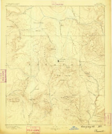
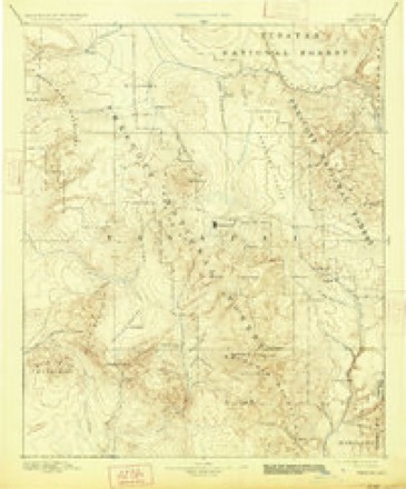
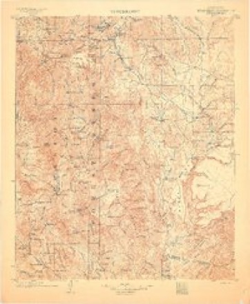
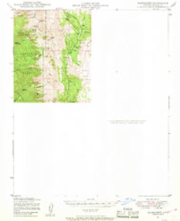
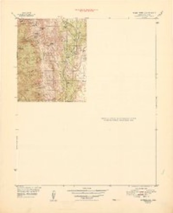
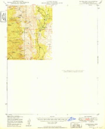
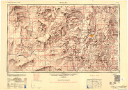
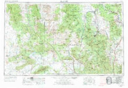
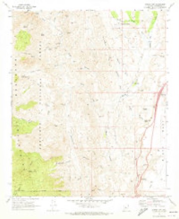
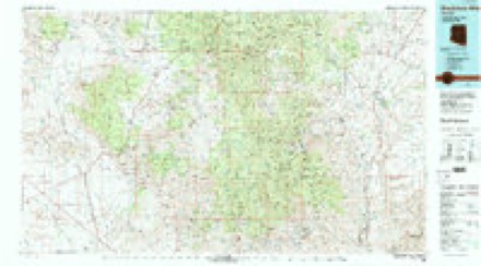
31 topographic sheets cover this place, the earliest surveyed in 1887 and the latest in 1981. It stands in the Congress census division. It lies in ZIP code area 86333. It lies near Mexican Gulch. The Survey maps it on the Bumble Bee quadrangle.
Topographic sheets covering this place
14 surveys from 31 printed sheetsMatched by testing this settlement's coordinate against the published boundary of every sheet in the United States Geological Survey's historical collection. Each opens the scanned sheet at the Survey.
- 1887 USGS Prescott quadrangle1:250000
- 1892 USGS Prescott quadrangle1:250000, 5 printings
- 1903 USGS Bradshaw Mountains quadrangle1:125000, 4 printings
- 1947 USGS Bumblebee quadrangle1:62500, 2 printings
- 1948 USGS Bumblebee quadrangle1:63360
- 1950 USGS Bumblebee quadrangle1:62500
- 1950 USGS Prescott quadrangle1:250000
- 1954 USGS Prescott quadrangle1:250000, 4 printings
- 1958 USGS Prescott quadrangle1:250000
- 1959 USGS Prescott quadrangle1:250000, 2 printings
- 1960 USGS Prescott quadrangle1:250000, 2 printings
- 1965 USGS Prescott quadrangle1:250000
- 1969 USGS Bumble Bee quadrangle1:24000, 4 printings
- 1981 USGS Bradshaw Mts quadrangle1:100000, 2 printings
Fires near this place
334 since 1992Regional context, not property-specific evidence. The federal wildfire occurrence database lists 334 fires within 5 miles of Bumble Bee between 1992 and 2020, burning about 35,472 acres in total. 28 started naturally. 6 were recorded as arson. Distance is straight-line from the map coordinates, so a fire counted here may appear on a neighbouring settlement's page as well.
| Reported cause | Fires |
|---|---|
| Missing data/not specified/undetermined | 146 |
| Equipment and vehicle use | 133 |
| Natural | 28 |
| Smoking | 12 |
| Arson/incendiarism | 6 |
| Firearms and explosives use | 2 |
| Debris and open burning | 2 |
| Power generation/transmission/distribution | 2 |
| Recreation and ceremony | 2 |
| Misuse of fire by a minor | 1 |
The most recent of them, most recent first, with the day each was reported and the service that recorded it.
| Date | Cause | Size | Reported by | Name on the report |
|---|---|---|---|---|
| 9 September 2000 | Equipment and vehicle use | under an acre | Phoenix District Office | POINT 2 |
| 9 September 1994 | Equipment and vehicle use | under an acre | Phoenix District Office | BUMBLE |
| 8 September 2010 | Missing data/not specified/undetermined | under an acre | Phoenix District Office | CACTUS |
| 6 September 2010 | Missing data/not specified/undetermined | under an acre | Phoenix District Office | LABOR DAY |
| 6 September 2006 | Missing data/not specified/undetermined | under an acre | Arizona Department of Forestry and Fire Management - State Office | CALVARY CHAPEL |
| 4 September 2012 | Natural | under an acre | Prescott National Forest | ARP |
| 4 September 2010 | Equipment and vehicle use | under an acre | Phoenix District Office | I 17 MM 251 |
| 4 September 2007 | Equipment and vehicle use | under an acre | Phoenix District Office | CACTUS |
Settlements close enough to share some of these fires:
Mines and quarries near this place
10 of 51 shownRegional context, not property-specific evidence. The federal mineral resources record lists 51 workings within 5 miles of Bumble Bee: 18 prospects, 14 past producers, 11 producers, 8 occurrences. 11 still produce. What was taken out: Gold, Copper, Silver, Lead, Silver. Distance is straight-line from the map coordinates, so a quarry counted here may appear on a neighbouring settlement's page as well.
| Where | Site | Commodity | Status | Recorded |
|---|---|---|---|---|
| Bill Arp Mine | Silver, Copper, Lead, Gold | Producer | 1919, 1920, 1925 | |
| Black Canyon Occurrence | Iron | Occurrence | Hematite, Magnetite | |
| Brooks Mine | Lead, Gold, Silver, Copper, Zinc | Producer | 1877, 1915, 1922 | |
| H.S. Tungsten Mine | Tungsten, Silver, Lead, Zinc | Past Producer | Scheelite | |
| Hidden Treasure | Gold, Lead, Zinc | Occurrence | ||
| Hidden Treasure Mine | Gold, Silver, Lead, Zinc, Copper | Past Producer | 1925 | |
| Howard Silver | Lead, Silver, Tungsten, Iron, Zinc, Copper | Past Producer | ||
| Irle Claims | Copper, Gold, Lead, Barium-Barite | Occurrence | ||
| Irle Claims | Lead, Copper, Silver, Barium-Barite | Prospect | ||
| Mar-Vey Prospects | Copper, Iron | Occurrence |
Storms near this place
15 since 2005Regional context, not property-specific evidence. The National Weather Service names Bumble Bee in 15 storm reports between 2005 and 2022: 5 heavy rain, 5 thunderstorm wind, 2 tornado, 2 flash flood. No death or injury is recorded in these reports. Each account below is quoted exactly as the forecast office filed it, from the NOAA Storm Events Database, and each date opens the federal record of that event.
| When | Event | Place named | Harm | What the report says |
|---|---|---|---|---|
| January 2010 | Flood | Bumble Bee | $500,000 | Heavy rain and melting snow caused major flooding in Black Canyon City. Evacuations orders were issued for communities along the Agua Fria River and Black Canyon Creek. One trailer park had damage to all 50 trailers. |
| September 2022 | Thunderstorm Wind | Bumble Bee | $40,000 | The Sunset Point RAWS recorded a peak wind gust of 72 miles per hour at 553 PM MST. There was a tractor trailer crash (due to winds) about 40 minutes before that. Radar and the crash suggest that the strongest winds may have been around 511 PM. |
| August 2020 | Heavy Rain | Bumble Bee | - | Heavy rain caused boulders to fall across Interstate 17 four miles south of Bumble Bee. |
| August 2020 | Thunderstorm Wind | Bumble Bee | - | A Mesonet weather station at Sunset Point measured a peak wind gust of 61 MPH. |
| October 2018 | Flash Flood | Bumble Bee | - | Heavy rain caused a 6.4 foot rise on the normally dry Agua Fria River northeast of Black Canyon City. |
| July 2018 | Thunderstorm Wind | Bumble Bee | - | A peak wind gust of 70 MPH was observed at the Sunset Point RAWS. The time was estimated. |
| August 2018 | Thunderstorm Wind | Bumble Bee | - | The RAWS at Humbug Creek reported a peak wind gust of 75 MPH around 648 PM MST. The Yarnell RAWS reported a peak wind gust of 52 MPH (0701 PM). The Sunset Point RAWS reported a peak wind gust of 56 MPH (553 PM). |
| August 2014 | Heavy Rain | Bumble Bee | - | Heavy rain fell along Interstate 17 between the Sunset Point Rest Area and Black Canyon City. |
| August 2014 | Flash Flood | Bumble Bee | - | Thunderstorms produced heavy rain and flash flooding along Interstate 17 between Sunset Point Rest Area and Black Canyon City. |
| July 2012 | Heavy Rain | Bumble Bee | - | Heavy rain from a thunderstorm washed debris across Interstate 17. The water and debris were about four inches deep. The road was closed after several vehicles punctured tires on the debris. The road opened after the flow stopped and the roadway was cleared. |
| July 2012 | Thunderstorm Wind | Bumble Bee | - | A RAWS at Sunset Point measured a 67 MPH thunderstorm wind gust. A truck was blown over on Interstate 17 about 4 miles north of the Sunset Point Rest Area. |
| January 2010 | Heavy Rain | Bumble Bee | - | A strong winter storm produced 6.57 inches of precipitation in 24 hours at the Sunset Point RAWS. |
| October 2010 | Tornado (EF0) | Bumble Bee | - | A 50-yard wide tornado was observed in grassland east of Interstate 17. Dissipated shortly afterward. |
| July 2006 | Tornado (F0) | Bumble Bee | - | A tornado crossed I-17 about one mile north of Sunset Point Rest Area. This area is mostly grassland and there were no reports of damage. |
| September 2005 | Heavy Rain | Bumble Bee | - | Heavy rain over the Cave Creek Complex burned (east of Bumble Bee) area caused flooding downstream. A river gage in Maricopa County (in WFO Phoenix's CWA) showed more than an eight foot rise in New River. |
Nearest settlements
The eight closest, with where each one stands in the county. Distances are straight-line, computed from the Geographic Names Information System coordinates.
| Map | Place | Distance | Sheets |
|---|---|---|---|
| East Fort | 6.0 miles | 31 | |
| Cleator | 6.8 miles | 30 | |
| Cordes | 7.1 miles | 30 | |
| South Fort | 7.1 miles | 31 | |
| Cordes Lakes | 7.8 miles | 30 | |
| Black Canyon City | 9.0 miles | 28 | |
| Cordes Junction | 9.2 miles | 30 | |
| Packer | 9.4 miles | 31 |
Provenance
This settlement is recorded in the Geographic Names Information System as feature 27000. The sheet list is computed by point-in-boundary test against the United States Geological Survey's historical topographic inventory. Both are works of the United States government and carry no copyright under 17 U.S.C. 105.
Wildfire. Short, Karen C. 2022. Spatial wildfire occurrence data for the United States, 1992-2020 [FPA_FOD_20221014]. 6th Edition. Fort Collins, CO: Forest Service Research Data Archive. https://doi.org/10.2737/RDS-2013-0009.6 Collected with United States Government funding and usable without additional permissions or fees.
Mines and quarries. USGS Mineral Resources Data System (MRDS) https://mrdata.usgs.gov/mrds/ A work of the United States government, no copyright under 17 U.S.C. 105.
Storms. NOAA National Centers for Environmental Information, Storm Events Database https://www.ncei.noaa.gov/stormevents/ A work of the United States government, no copyright under 17 U.S.C. 105. Narratives are quoted verbatim from the National Weather Service report and are not edited or summarised.