 Block
Cordes, Arizona
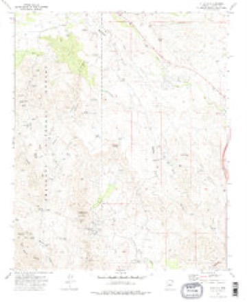
30 topographic sheets cover this place, the earliest surveyed in 1887 and the latest in 1981. It stands in the Congress census division. It lies in ZIP code area 86333. It stands on Cordes Peak. The Survey maps it on the Cleator quadrangle. It stands 3,763 feet above sea level.
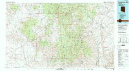
Topographic sheets covering this place
14 surveys from 30 printed sheetsMatched by testing this settlement's coordinate against the published boundary of every sheet in the United States Geological Survey's historical collection. Each opens the scanned sheet at the Survey.
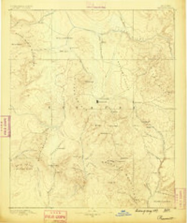
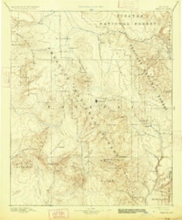
- 1887 USGS Prescott quadrangle1:250000
- 1892 USGS Prescott quadrangle1:250000, 5 printings
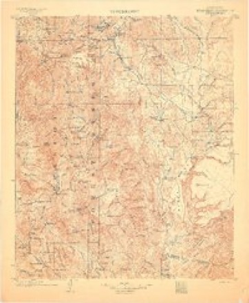
- 1903 USGS Bradshaw Mountains quadrangle1:125000, 4 printings
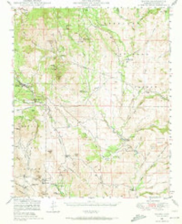
- 1947 USGS Mayer quadrangle1:62500, 2 printings
- 1948 USGS Mayer quadrangle1:63360
- 1949 USGS Mayer quadrangle1:62500, 2 printings
- 1950 USGS Prescott quadrangle1:250000
- 1954 USGS Prescott quadrangle1:250000, 4 printings
- 1958 USGS Prescott quadrangle1:250000
- 1959 USGS Prescott quadrangle1:250000, 2 printings
- 1960 USGS Prescott quadrangle1:250000, 2 printings
- 1965 USGS Prescott quadrangle1:250000
- 1974 USGS Cleator quadrangle1:24000, 2 printings
- 1981 USGS Bradshaw Mts quadrangle1:100000, 2 printings
Fires near this place
186 since 1992Regional context, not property-specific evidence. The federal wildfire occurrence database lists 186 fires within 5 miles of Cordes between 1992 and 2020, burning about 3,091 acres in total. 13 started naturally. 4 were recorded as arson. Distance is straight-line from the map coordinates, so a fire counted here may appear on a neighbouring settlement's page as well.
| Reported cause | Fires |
|---|---|
| Missing data/not specified/undetermined | 127 |
| Equipment and vehicle use | 31 |
| Natural | 13 |
| Arson/incendiarism | 4 |
| Power generation/transmission/distribution | 3 |
| Firearms and explosives use | 3 |
| Smoking | 2 |
| Debris and open burning | 2 |
| Recreation and ceremony | 1 |
The most recent of them, most recent first, with the day each was reported and the service that recorded it.
| Date | Cause | Size | Reported by | Name on the report |
|---|---|---|---|---|
| 4 September 2007 | Equipment and vehicle use | under an acre | Phoenix District Office | CACTUS |
| 30 September 1995 | Missing data/not specified/undetermined | under an acre | Phoenix District Office | BASIN |
| 3 September 2001 | Equipment and vehicle use | 1.0 acres | Phoenix District Office | HORSESHOE |
| 17 September 1993 | Missing data/not specified/undetermined | under an acre | Phoenix District Office | DOUBLE 2 |
| 17 September 1993 | Arson/incendiarism | 1.0 acres | Phoenix District Office | DOUBLE |
| 17 September 1993 | Missing data/not specified/undetermined | under an acre | Arizona Department of Forestry and Fire Management - State Office | not named |
| 13 September 2019 | Missing data/not specified/undetermined | under an acre | Mayer Fire District | NOT NAMED |
| 13 September 2019 | Missing data/not specified/undetermined | under an acre | Mayer Fire District | NOT NAMED |
Settlements close enough to share some of these fires:
Mines and quarries near this place
10 of 58 shownRegional context, not property-specific evidence. The federal mineral resources record lists 58 workings within 5 miles of Cordes: 22 prospects, 20 past producers, 10 producers, 5 occurrences. 10 still produce. What was taken out: Gold, Copper, Gold, Silver, Lead, Silver. Distance is straight-line from the map coordinates, so a quarry counted here may appear on a neighbouring settlement's page as well.
| Where | Site | Commodity | Status | Recorded |
|---|---|---|---|---|
| Blue Bell Magnetite-Hematite | Iron, Manganese, Titanium, Silica, Phosphorus-Phosphates | Occurrence | ||
| Blue Bell Mine | Copper, Silver, Gold, Lead, Zinc, Arsenic | Past Producer | 1895, 1896, 1959 | |
| Blue Bell Mine and Quarry | Stone, Dimension, Copper, Silver, Gold, Iron, Silica | Past Producer | ||
| Brooks Mine | Lead, Gold, Silver, Copper, Zinc | Producer | 1877, 1915, 1922 | |
| French Lilly | Copper, Lead, Silver, Zinc, Gold | Past Producer | ||
| French Lily Mine | Gold, Copper, Lead, Zinc, Silver, Arsenic | Producer | 1902, 1959 | |
| Golden Belt | Gold, Silver, Iron, Lead | Past Producer | ||
| Golden Turkey Mine | Gold, Silver, Lead, Copper, Zinc | Past Producer | 1900, 1923, 1949 | |
| Hidden Treasure Mine | Gold, Silver, Lead, Zinc, Copper | Past Producer | 1925 | |
| Irle Claims | Lead, Copper, Silver, Barium-Barite | Prospect |
Storms near this place
37 since 1999Regional context, not property-specific evidence. The National Weather Service names Cordes in 37 storm reports between 1999 and 2025: 22 flash flood, 9 heavy rain, 3 thunderstorm wind, 2 hail. The reports record 1 death. Each account below is quoted exactly as the forecast office filed it, from the NOAA Storm Events Database, and each date opens the federal record of that event.
| When | Event | Place named | Harm | What the report says |
|---|---|---|---|---|
| November 2025 | Flash Flood | Cordes | 1 killed | Law enforcement reported a car with 2 men trapped in floodwaters in Big Bug Creek at Cordes Lakes. One man was rescued while the other was swept away. The vehicle was later found lodged against a tree about 2 miles from the point of entry into the water. The second occupant was found deceased two days later at the confluence of Big Bug Creek with the Agua Fria River, about 6 miles from where he and his vehicle were last seen. |
| September 2019 | Thunderstorm Wind | Cordes | $500,000 | Approximately 20 mobile homes were damaged by very strong thunderstorm winds. One home was so damaged that it was no longer habitable. Four homes suffered moderate damage. Power poles were snapped off with many with out power. Close to 100 trees were damaged as well. |
| August 2025 | Flash Flood | Cordes | - | The USGS river gauge on the Agua Fria River near Cordes Lakes (AFMA3) reported a 2 foot rise (117 cfs) in 15 minutes due to heavy rainfall along Big Bug Creek. |
| July 2025 | Flash Flood | Cordes | - | A USGS river gauge on the Agua Fria River at Cordes Lakes reported at 5.9 foot rise in 45 minutes from thunderstorms upstream along Big Bug Creek. |
| July 2025 | Flash Flood | Cordes | - | A Yavapai County river gauge on the Agua Fria River at Kelton Ranch reported a 6.3 foot rise in 15 minutes. Peak flow was 9,515 cubic feet per second. |
| July 2025 | Flash Flood | Cordes | - | Yavapai County Sheriff's Office reported a bridge in Spring Valley was impassable with water flowing over the road. A car was also stranded on the bridge. |
| July 2025 | Flash Flood | Cordes | - | Public sent via social media a video of a flash flood along Big Bug Creek. The person posting the video said it was the highest flow since 2021. |
| August 2025 | Flash Flood | Cordes | - | A Yavapai County ALERT gauge on the Agua Fria River at Kelton Ranch reported a 2.7 foot rise in 15 minutes from heavy rainfall in Big Bug Creek. |
| September 2025 | Flash Flood | Cordes | - | A trained spotter reported a water rise greater than 4 feet in normally dry Big Bug Creek. |
| September 2025 | Flash Flood | Cordes | - | The Agua Fria below Ash Creek county river gauge (54897) measured a 3.75 foot rise between 5:00 pm and 5:50 pm MST with a peak streamflow of 3,354 cfs. |
| September 2022 | Flash Flood | Cordes | - | The Agua Fria River rose 4 feet near Cordes Junction. This is normally dry. |
| August 2022 | Flash Flood | Cordes | - | The steam gauge on Agua Fria River near Cordes Junction showed a 3.47 foot rise. |
| August 2022 | Flash Flood | Cordes | - | Heavy rain from thunderstorms caused major flash flooding of roads and homes in Spring Valley on Hackberry Creek. Flash flooding in Mayer caused threatened the town water supply infrastructure. |
| August 2022 | Flash Flood | Cordes | - | The Aqua Fria-Mayer river gauge measured a two foot rise. |
| July 2022 | Thunderstorm Wind | Cordes | - | A wind gust of 58 MPH was reported in Spring Valley at 415 PM. There was damage to a shed roof and lawn structure as well as a tree was blown down. |
| September 2021 | Flash Flood | Cordes | - | A 3.9 foot rise was recorded on the Agua Fria River (AFMA3) east of Cordes Junction. |
| August 2020 | Hail | Cordes | - | A trained spotter reported one inch diameter hail just north of Cordes Junction. |
| September 2019 | Heavy Rain | Cordes | - | Street flooding was reported in Cordes Lakes due to the heavy rain in the area. Streets had water 6 inches deep at 500 AM. |
| August 2019 | Flash Flood | Cordes | - | Heavy rain from a thunderstorm produced flash flooding in the Agua Fria River near Poland Junction. A river gauge reported a 2.27 foot rise from 5:15PM MST to 7:00PM MST. |
| August 2018 | Flash Flood | Cordes | - | The Agua Fria gauge (up stream from Big Bug Creek/Goodwin Fire scar) rose 3.6 feet in 70 minutes. |
| July 2018 | Flash Flood | Cordes | - | Big Bug Creek experienced flash flood conditions during the mid-afternoon which lasted for approximately two hours. Water rose out the banks and flooded East Antelope Road. Much of the rain fell over the Goodwin Fire scar. Winds also gusted up to 45 MPH between 315 and 415 PM MST. The flood waters continued on down the Agua Fria Wash for another 6 to 9 hours. This water eventually flowed into Black Canyon Creek near Black Canyon City. The Agua Fria River gauge at Old Black Canyon City Highway showed a rapid rise of 2.2 feet at 230 AM on July 16. |
| October 2018 | Flash Flood | Cordes | - | The stream gauge along Agua Fria River east of Cordes Junction recorded a rise of 3.5 feet in three hours. |
| August 2017 | Flash Flood | Cordes | - | A thunderstorm produced heavy rain over the Goodwin Fire scar that caused flash flooding on the Agua Fria River. The stream gauge went from 1 foot to 4.91 feet during the flash flood. |
| June 2016 | Heavy Rain | Cordes | - | An inch and a half of rain caused Big Bug Creek to flow about 2 feet from the top of the bridge. |
| July 2016 | Thunderstorm Wind | Cordes | - | A spotter reported thunderstorm wind gust between 60 and 70 MPH with pea sized hail. |
| July 2016 | Hail | Cordes | - | A spotter near Spring Valley north of Cordes Junction reported one inch diameter hail. |
| October 2015 | Heavy Rain | Cordes | - | The Agua Fria RAWS reported 1.18 inches of rain. |
| July 2014 | Heavy Rain | Cordes | - | Thunderstorms produced 0.95 inches of rain in an hour an a half. Low water crossings were flooded. |
| August 2014 | Heavy Rain | Cordes | - | Heavy rain caused water to flow over the road at Big Bug Creek. A spotter recorded 1.76 inches of rain. |
| August 2014 | Heavy Rain | Cordes | - | A weather spotter reported 1.39 inches of rain in less than 45 minutes. |
| August 2014 | Heavy Rain | Cordes | - | A spotter 3 miles north of Cleator reported just over three inches of rain and flooded washes. |
| July 2012 | Flash Flood | Cordes | - | A trained spotter reported heavy flows though Dripping Springs and Turkey Creek. It was the worst flooding in eight and a half years. |
| July 2012 | Heavy Rain | Cordes | - | A trained spotter reported 5.47 inches of rain in 14 hours about ten miles southwest of Cordes. |
| January 2010 | Flash Flood | Cordes | - | A family of four partially crossed the bed of the Agua Fria River in a truck (SUV) when flash flooding occurred. They became stuck in the flood waters. A swift water rescue was in possible and a helicopter could not be dispatched due to the weather conditions. The 6 year old boy was subsequently swept downstream and drown. |
| October 2000 | Funnel Cloud | Cordes | - | Arizona Department of Transportation(ADOT)officials reported a funnel cloud near Cordes Junction. The thunderstrom that produced the funnel cloud also produced strong wind that tipped over a tool shed at the ADOT facility in Cordes Junction. |
| July 1999 | Flash Flood | Cordes | - | The normally low flowing Big Bug Creek rose to bank full levels at Cordes Junction after an estimated 2 to 4 inches of rain fell in a two hour period in the upper basin. |
| July 2002 | Heavy Rain | Cordes | - | no account filed |
Nearest settlements
The eight closest, with where each one stands in the county. Distances are straight-line, computed from the Geographic Names Information System coordinates.
| Map | Place | Distance | Sheets |
|---|---|---|---|
| Spring Valley | 2.9 miles | 30 | |
| Cordes Junction | 3.2 miles | 30 | |
| Cordes Lakes | 3.4 miles | 30 | |
| Cleator | 3.9 miles | 30 | |
| Arcosanti | 4.4 miles | 30 | |
| Ocotillo | 4.6 miles | 30 | |
| Bumble Bee | 7.1 miles | 31 | |
| Mayer | 7.5 miles | 29 |
Elsewhere
Matched on this settlement's Geographic Names Information System number rather than its name, so it cannot be a different place of the same name in another state.
| Wikipedia article on Cordes | An encyclopaedic summary. Its text is share-alike, so it is linked here rather than copied. |
| Wikidata item Q2997119 | The structured record the population and elevation above come from. Public domain (CC0). |
Provenance
This settlement is recorded in the Geographic Names Information System as feature 27940. The sheet list is computed by point-in-boundary test against the United States Geological Survey's historical topographic inventory. Both are works of the United States government and carry no copyright under 17 U.S.C. 105.
Wildfire. Short, Karen C. 2022. Spatial wildfire occurrence data for the United States, 1992-2020 [FPA_FOD_20221014]. 6th Edition. Fort Collins, CO: Forest Service Research Data Archive. https://doi.org/10.2737/RDS-2013-0009.6 Collected with United States Government funding and usable without additional permissions or fees.
Mines and quarries. USGS Mineral Resources Data System (MRDS) https://mrdata.usgs.gov/mrds/ A work of the United States government, no copyright under 17 U.S.C. 105.
Storms. NOAA National Centers for Environmental Information, Storm Events Database https://www.ncei.noaa.gov/stormevents/ A work of the United States government, no copyright under 17 U.S.C. 105. Narratives are quoted verbatim from the National Weather Service report and are not edited or summarised.