 Block
Dewey, Arizona
27 topographic sheets cover this place, the earliest surveyed in 1887 and the latest in 1981. It stands in the Prescott census division. It lies in ZIP code area 86327. It lies near Texas Gulch. The Survey maps it on the Humboldt quadrangle.
Topographic sheets covering this place
14 surveys from 27 printed sheetsMatched by testing this settlement's coordinate against the published boundary of every sheet in the United States Geological Survey's historical collection. Each opens the scanned sheet at the Survey.
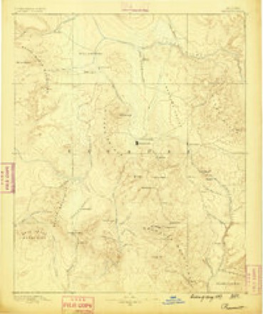
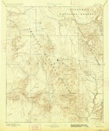
- 1887 USGS Prescott quadrangle1:250000
- 1892 USGS Prescott quadrangle1:250000, 5 printings
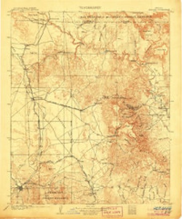
- 1905 USGS Jerome quadrangle1:125000, 2 printings
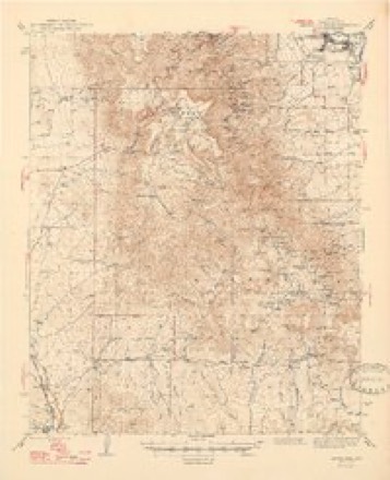
- 1944 USGS Mingus Mountain quadrangle1:62500
- 1944 USGS Mingus Mtn quadrangle1:62500, 3 printings
- 1947 USGS Mingus Mtn quadrangle1:62500
- 1950 USGS Prescott quadrangle1:250000
- 1954 USGS Prescott quadrangle1:250000, 4 printings
- 1958 USGS Prescott quadrangle1:250000
- 1959 USGS Prescott quadrangle1:250000, 2 printings
- 1960 USGS Prescott quadrangle1:250000, 2 printings
- 1965 USGS Prescott quadrangle1:250000
- 1973 USGS Humboldt quadrangle1:24000
- 1981 USGS Prescott quadrangle1:100000, 2 printings
Fires near this place
125 since 1993Regional context, not property-specific evidence. The federal wildfire occurrence database lists 125 fires within 5 miles of Dewey between 1993 and 2020, burning about 136 acres in total. 3 started naturally. 1 was recorded as arson. Distance is straight-line from the map coordinates, so a fire counted here may appear on a neighbouring settlement's page as well.
| Reported cause | Fires |
|---|---|
| Missing data/not specified/undetermined | 108 |
| Debris and open burning | 3 |
| Natural | 3 |
| Smoking | 2 |
| Misuse of fire by a minor | 2 |
| Power generation/transmission/distribution | 2 |
| Equipment and vehicle use | 2 |
| Arson/incendiarism | 1 |
| Railroad operations and maintenance | 1 |
| Recreation and ceremony | 1 |
The most recent of them, most recent first, with the day each was reported and the service that recorded it.
| Date | Cause | Size | Reported by | Name on the report |
|---|---|---|---|---|
| 8 September 2011 | Missing data/not specified/undetermined | under an acre | Arizona Department of Forestry and Fire Management - State Office | AZ-110331 |
| 8 September 2002 | Equipment and vehicle use | under an acre | Arizona Department of Forestry and Fire Management - State Office | LUZENA |
| 4 September 2019 | Missing data/not specified/undetermined | 1.5 acres | Arizona Department of Forestry and Fire Management - Northwest District | DEWEY |
| 20 September 2019 | Missing data/not specified/undetermined | under an acre | Central Arizona Fire and Medical Authority | NOT NAMED |
| 2 September 2012 | Missing data/not specified/undetermined | under an acre | Arizona Department of Forestry and Fire Management - State Office | AZ-121578 |
| 19 September 2011 | Missing data/not specified/undetermined | under an acre | Arizona Department of Forestry and Fire Management - State Office | AZ-110352 |
| 1 September 2019 | Power generation/transmission/distribution | under an acre | Central Arizona Fire and Medical Authority | NOT NAMED |
| 9 August 2013 | Missing data/not specified/undetermined | under an acre | Arizona Department of Forestry and Fire Management - State Office | AZ-131913 |
Settlements close enough to share some of these fires:
Mines and quarries near this place
10 of 59 shownRegional context, not property-specific evidence. The federal mineral resources record lists 59 workings within 5 miles of Dewey: 20 past producers, 13 prospects, 11 producers, 9 unknowns. 11 still produce. What was taken out: Gold, Copper, Silver, Gold, Silver. Distance is straight-line from the map coordinates, so a quarry counted here may appear on a neighbouring settlement's page as well.
| Where | Site | Commodity | Status | Recorded |
|---|---|---|---|---|
| Arizona National | Silver, Lead, Zinc, Gold, Copper | Past Producer | ||
| Atlas Copper | Copper, Manganese, Silica | Past Producer | ||
| Big Bug District | Zinc, Lead, Gold, Copper, Silver | Occurrence | ||
| Dewey Ranch Clay No. 1 | Clay | Past Producer | Clay | |
| Dewey Ranch No. 2 | Brick Clay | Producer | Clay | |
| Gladstone-Mccabe Mine | Gold, Silver, Lead, Copper, Iron, Zinc, Silica, Arsenic, Antimony, Sulfur | Producer | 1885 | |
| Hull Property | Gold, Copper, Silver | Occurrence | ||
| Hull Property | Copper, Lead, Gold, Silver, Zinc | Past Producer | ||
| Huron Mine | Copper, Silver, Gold | Producer | 1923 | |
| Iron King Property | Gold, Lead, Silver, Zinc, Copper, Cadmium | Past Producer | 1880, 1906 |
Storms near this place
23 since 1995Regional context, not property-specific evidence. The National Weather Service names Dewey in 23 storm reports between 1995 and 2024: 6 heavy rain, 6 flash flood, 5 hail, 3 thunderstorm wind. The reports record 1 death. Each account below is quoted exactly as the forecast office filed it, from the NOAA Storm Events Database, and each date opens the federal record of that event.
| When | Event | Place named | Harm | What the report says |
|---|---|---|---|---|
| August 2004 | Flash Flood | Dewey | 1 killed | Two young boys fell into the Agua Fria River after it had become flooded with runoff from several thunderstorms in the area. The river bed is usually dry. The older brother was rescued. The younger brother was found laying on the bank about a mile and a half downstream. Attempts to revive the him were unsuccessful. |
| July 2024 | Flash Flood | Dewey | - | The USGS stream gauge on the Agua Fira River near Dewey-Humboldt (AFHA3) reported a 2.75 foot rise bettween 700 PM and 745 PM. The river returnred to near normal at 200 AM on the 18th. |
| July 2021 | Flash Flood | Dewey | - | Thunderstorms produced heavy rain and flooding from Dewey and the Agua Fria River to Humbug Creek and Mayer. Water was flowing over roads in Dewey and Meyer. A river gauge in Meyer showed a two foot rise. |
| August 2019 | Heavy Rain | Dewey | - | A trained spotter reported 0.90 inches of rain in about 15 minutes 2 NW Dewey-Humboldt. |
| May 2016 | Dust Devil | Dewey | - | A dust devil damaged a dog run and the roof of a house. The large dog run was thrown approximately 60 feet. |
| August 2016 | Heavy Rain | Dewey | - | Heavy rain produced flowing water across low water crossings in the Dewey area. This included the Agua Fria River, Highway 69, and other local roads. |
| July 2016 | Heavy Rain | Dewey | - | A spotter reported 2.25 inches of rain in 20 minutes. |
| August 2014 | Flash Flood | Dewey | - | The Agua Fria River near Humboldt jumped from around 1.9 feet to near 9.2 feet (a 1500 CFS increase) in a short time. |
| August 2014 | Flash Flood | Dewey | - | The river gauge on the Agua Fria River near Humboldt showed a seven foot jump (close to 1,500 CFS). |
| August 2014 | Heavy Rain | Dewey | - | A trained spotter measured 1.80 inches of rain in only one hour near the town of Dewey. |
| July 2012 | Heavy Rain | Dewey | - | Heavy rain (2.10 inches) fell in Dewey-Humbolt. The intersection of Agua Fria and Prescott Street was close for a while due to high water. |
| July 2007 | Thunderstorm Wind | Dewey | - | A power pole was blown down in a dry microburst north of Dewey. About 2,000 customers were without power for about two hours. |
| July 2006 | Hail | Dewey | - | Three quarter inch diameter hail was reported in Dewey. |
| July 2004 | Hail | Dewey | - | 3/4 inch diameter hail was reported in Dewey-Humboldt. The hail was 3 to 4 inches deep in places. |
| July 2004 | Flash Flood | Dewey | - | Widespread heavy rain from Dewey to Prescott Valley caused quite a bit of localized flooding/mud debris flows and large flows in the smaller watercourses. One wash that was 14 feet across and 5 feet deep overflowed its banks. Another wash that was 125 feet across was flowing 3 feet deep. Rain gauges in the area reported between 1.50" and 2.13" in under 75 minutes. Valley Road was closed for an hour and a half because of water over the road. A road was closed in Humboldt after Agua Fria Wash filled with water and washed away two empty cars. |
| July 2003 | Heavy Rain | Dewey | - | A Remote Automatic Weather Station (RAWS) near the town of Cherry reported 1.65 inches of rain in one hour. |
| September 1999 | Hail | Dewey | - | For the second day in a row, vertical wind shear combined with monsoon moisture to produce several instances of severe weather. Hail did significant damage in Prescott Valley and in Dewey, with newspaper accounts indicate widespread damage to cars and skylights. Insurance claims from this days severe weather were approximately $18 million dollars. Two people were injuried by the falling hail. |
| July 1998 | Hail | Dewey | - | A weather spotter reported 0.75 inch diameter hail covering the ground. |
| September 1995 | Thunderstorm Wind | Dewey | - | A poultry barn was destroyed killing 500 turkeys inside. Numerous trees were stripped of leaves and branches. Many birds were killed. Many south-facing windows were broken. A large motel sign was damaged and nearly toppled. A large commercial trash dumpster was moved over 50 yards. A spotter in the area estimated wind gusts to be 75 mph. |
| September 1999 | Hail | Dewey | - | no account filed |
| September 1999 | Thunderstorm Wind | Dewey | - | no account filed |
| September 1999 | Tornado (F0) | Dewey | - | no account filed |
| August 1996 | Funnel Cloud | Dewey | - | no account filed |
Nearest settlements
The eight closest, with where each one stands in the county. Distances are straight-line, computed from the Geographic Names Information System coordinates.
| Map | Place | Distance | Sheets |
|---|---|---|---|
| Dewey-Humboldt | 0.1 miles | 27 | |
| Humboldt | 2.0 miles | 27 | |
| Blue Hills Farms | 3.0 miles | 30 | |
| Poland Junction | 5.7 miles | 33 | |
| Hecla | 6.4 miles | 28 | |
| Prescott Valley | 6.8 miles | 30 | |
| Castle Canyon Mesa | 7.4 miles | 30 | |
| Diamond Valley | 7.6 miles | 30 |
Provenance
This settlement is recorded in the Geographic Names Information System as feature 28447. The sheet list is computed by point-in-boundary test against the United States Geological Survey's historical topographic inventory. Both are works of the United States government and carry no copyright under 17 U.S.C. 105.
Wildfire. Short, Karen C. 2022. Spatial wildfire occurrence data for the United States, 1992-2020 [FPA_FOD_20221014]. 6th Edition. Fort Collins, CO: Forest Service Research Data Archive. https://doi.org/10.2737/RDS-2013-0009.6 Collected with United States Government funding and usable without additional permissions or fees.
Mines and quarries. USGS Mineral Resources Data System (MRDS) https://mrdata.usgs.gov/mrds/ A work of the United States government, no copyright under 17 U.S.C. 105.
Storms. NOAA National Centers for Environmental Information, Storm Events Database https://www.ncei.noaa.gov/stormevents/ A work of the United States government, no copyright under 17 U.S.C. 105. Narratives are quoted verbatim from the National Weather Service report and are not edited or summarised.