 Block
Fowler, Arizona
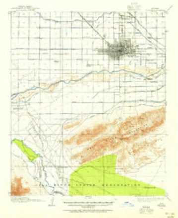
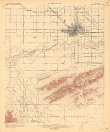
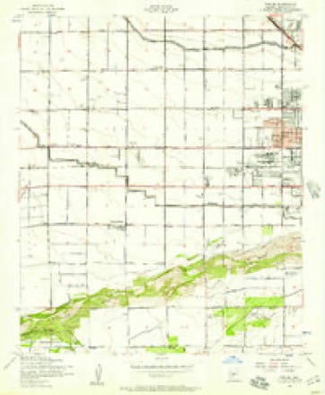
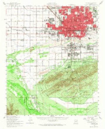
27 topographic sheets cover this place, the earliest surveyed in 1912 and the latest in 1981. It stands in the Phoenix census division. It lies in ZIP code area 85043. The Survey maps it on the Fowler quadrangle.
Topographic sheets covering this place
12 surveys from 27 printed sheetsMatched by testing this settlement's coordinate against the published boundary of every sheet in the United States Geological Survey's historical collection. Each opens the scanned sheet at the Survey.
- 1912 USGS Phoenix quadrangle1:62500
- 1914 USGS Phoenix quadrangle1:62500, 4 printings
- 1952 USGS Fowler quadrangle1:24000, 6 printings
- 1952 USGS Phoenix quadrangle1:62500, 2 printings
- 1954 USGS Phoenix quadrangle1:250000, 5 printings
- 1957 USGS Phoenix quadrangle1:250000
- 1958 USGS Phoenix quadrangle1:250000
- 1960 USGS Phoenix quadrangle1:250000
- 1969 USGS Phoenix quadrangle1:250000, 2 printings
- 1971 USGS Fowler quadrangle1:24000
- 1971 USGS Phoenix quadrangle1:250000
- 1981 USGS Phoenix South quadrangle1:100000, 2 printings






Fires near this place
1,779 since 1992Regional context, not property-specific evidence. The federal wildfire occurrence database lists 1,779 fires within 5 miles of Fowler between 1992 and 2020, burning about 704 acres in total. 23 started naturally. 24 were recorded as arson. Distance is straight-line from the map coordinates, so a fire counted here may appear on a neighbouring settlement's page as well.
| Reported cause | Fires |
|---|---|
| Missing data/not specified/undetermined | 1726 |
| Arson/incendiarism | 24 |
| Natural | 23 |
| Power generation/transmission/distribution | 5 |
| Debris and open burning | 1 |
The most recent of them, most recent first, with the day each was reported and the service that recorded it.
| Date | Cause | Size | Reported by | Name on the report |
|---|---|---|---|---|
| 9 September 2018 | Missing data/not specified/undetermined | under an acre | Phoenix Fire Department | 335425 |
| 9 September 2015 | Missing data/not specified/undetermined | under an acre | Arizona Department of Forestry and Fire Management - State Office | 154835 |
| 9 September 2015 | Missing data/not specified/undetermined | under an acre | Arizona Department of Forestry and Fire Management - State Office | 154836 |
| 9 September 2012 | Missing data/not specified/undetermined | under an acre | Arizona Department of Forestry and Fire Management - State Office | AZ-122598 |
| 9 September 2011 | Missing data/not specified/undetermined | under an acre | Arizona Department of Forestry and Fire Management - State Office | AZ-111668 |
| 8 September 2018 | Missing data/not specified/undetermined | under an acre | Phoenix Fire Department | 333529 |
| 8 September 2015 | Missing data/not specified/undetermined | under an acre | Arizona Department of Forestry and Fire Management - State Office | 154834 |
| 8 September 2015 | Missing data/not specified/undetermined | under an acre | Arizona Department of Forestry and Fire Management - State Office | 154832 |
Settlements close enough to share some of these fires:
Mines and quarries near this place
10 of 12 shownRegional context, not property-specific evidence. The federal mineral resources record lists 12 workings within 5 miles of Fowler: 4 producers, 3 unknowns, 3 past producers, 2 plants. 6 still produce. What was taken out: Sand and Gravel, Construction, Brick Clay, Clay, Vermiculite. Distance is straight-line from the map coordinates, so a quarry counted here may appear on a neighbouring settlement's page as well.
| Where | Site | Commodity | Status | Recorded |
|---|---|---|---|---|
| Building Products Co. | Clay | Plant | ||
| Tolleson Mine | Brick Clay | Producer | Clay | |
| Zonolite Co. | Vermiculite | Plant | ||
| Gravel Pit | Sand and Gravel, Construction | Unknown | ||
| Gravel Pit | Sand and Gravel, Construction | Unknown | ||
| Gravel Pit | Sand and Gravel, Construction | Unknown | ||
| Phoenix Redi-Mix Pit | Sand and Gravel, Construction | Producer | ||
| Phoenix S&R, Agua Fria Pit & Plant | Sand and Gravel, Construction | Producer | ||
| Sand & Gravel Operation | Sand and Gravel, Construction | Past Producer | ||
| Sand and Gravel Quarry | Sand and Gravel, Construction | Past Producer | Sand and Gravel |
Storms near this place
7 since 2014Regional context, not property-specific evidence. The National Weather Service names Fowler in 7 storm reports between 2014 and 2025: 4 thunderstorm wind, 3 flash flood. No death or injury is recorded in these reports. Each account below is quoted exactly as the forecast office filed it, from the NOAA Storm Events Database, and each date opens the federal record of that event.
| When | Event | Place named | Harm | What the report says |
|---|---|---|---|---|
| September 2014 | Flash Flood | Fowler | $500,000 | Widespread showers and embedded thunderstorms produced very heavy rainfall across the central portions of the greater Phoenix area during the early morning hours on September 8th. Rainfall rates were well in excess of 2 inches per hours at times, and the heavy rain caused major flash flooding on Interstate 10. At 0400MST the Arizona Department of Transportation reported that Interstate 10 was closed at 43rd Avenue, as the intense rain caused a lake to form several feet deep across the freeway. Since it was pitch black at the time, motorists unwittingly drove into the lake and became stalled; at least 2 dozen motorists became stranded in water which came up to the top of their hoods. The freeway was soon closed between 35th and 67th Avenues; after the water began receding at 0930MST, ADOT crews worked feverishly to clean up the road. Westbound Interstate 10 partially opened by 1400MST, the eastbound lanes were closed through the early evening hours. |
| July 2021 | Flash Flood | Fowler | $50,000 | A video on social media showed several feet of standing water in the parking lot of an apartment, flooding numerous cars at the apartment. No injuries were reported. |
| July 2024 | Thunderstorm Wind | Fowler | $20,000 | Portion of a large concrete brick wall blew down and damaged a few vehicles near inside the premises of an apartment complex located in the area of 55th Avenue and McDowell Road in Phoenix. Wind gusts were estimated upwards of 75 mph. No injuries were reported. |
| October 2015 | Thunderstorm Wind | Fowler | $20,000 | Scattered thunderstorms developed across the greater Phoenix area during the afternoon hours on October 18th, and some of them affected the town of Glendale. A few of the stronger storms produced gusty and damaging outflow winds estimated to be in excess of 60 mph. According to a report from local broadcast media, the overhead metal canopy at a gas station was blown down by winds estimated to be as high as 65 mph. The gas station was located at the intersection of 59th Avenue and McDowell Road. |
| July 2024 | Thunderstorm Wind | Fowler | $2,000 | Traffic light support pole fully bent in the opposite direction in the area of Roosevelt Street and North 51st Avenue in Phoenix. Wind gusts were estimated upwards of 75 mph based on doppler radar estimates. No injuries were reported. |
| August 2021 | Thunderstorm Wind | Fowler | $2,000 | Photos on social media showed a large tree down on power lines near Lower Buckeye Road between 67th Avenue and 75th Avenue. Timing of 60-65 mph winds was estimated using radar. No injuries were reported. |
| November 2025 | Flash Flood | Fowler | - | Video showed multiple lanes of I-10 impassable, near 75th Ave, due to flooding and accumulated hail. No damages or injuries reported. |
Nearest settlements
The eight closest, with where each one stands in the county. Distances are straight-line, computed from the Geographic Names Information System coordinates.
| Map | Place | Distance | Sheets |
|---|---|---|---|
| Westridge Park | 0.6 miles | 27 | |
| Sunscape Homes | 0.8 miles | 27 | |
| Centura West | 1.0 miles | 27 | |
| La Terraza | 1.2 miles | 27 | |
| Sunburst Homes | 1.4 miles | 27 | |
| County Fair West | 1.9 miles | 27 | |
| Cartwright | 2.2 miles | 27 | |
| Legend Estates | 2.9 miles | 27 |
Elsewhere
Matched on this settlement's Geographic Names Information System number rather than its name, so it cannot be a different place of the same name in another state.
| Wikidata item Q141221926 | The structured record the population and elevation above come from. Public domain (CC0). |
Provenance
This settlement is recorded in the Geographic Names Information System as feature 4803. The sheet list is computed by point-in-boundary test against the United States Geological Survey's historical topographic inventory. Both are works of the United States government and carry no copyright under 17 U.S.C. 105.
Wildfire. Short, Karen C. 2022. Spatial wildfire occurrence data for the United States, 1992-2020 [FPA_FOD_20221014]. 6th Edition. Fort Collins, CO: Forest Service Research Data Archive. https://doi.org/10.2737/RDS-2013-0009.6 Collected with United States Government funding and usable without additional permissions or fees.
Mines and quarries. USGS Mineral Resources Data System (MRDS) https://mrdata.usgs.gov/mrds/ A work of the United States government, no copyright under 17 U.S.C. 105.
Storms. NOAA National Centers for Environmental Information, Storm Events Database https://www.ncei.noaa.gov/stormevents/ A work of the United States government, no copyright under 17 U.S.C. 105. Narratives are quoted verbatim from the National Weather Service report and are not edited or summarised.