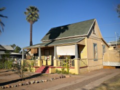
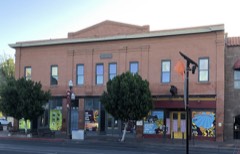
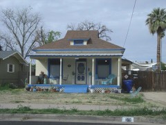
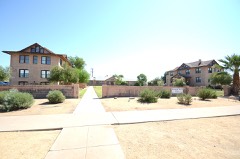
BlockBefore

Maricopa County, Arizona

467 topographic sheets and 41 fire insurance atlases across 10 places.

Research this county

From the record

467 National Register listings published here, 2 of them National Historic Landmarks.

Sources: the National Register database, National Park Service

Arizona within the United States
Maricopa County within Arizona
Explore by year 1878 1929

What the record shows

  • 10 places in this county were surveyed for fire insurance: Phoenix, Tempe, Mesa, Chandler, Glendale, Wickenburg, Buckeye, Gila Bend, Gilbert, Peoria, between 1889 and 1958.
  • 41 fire insurance atlases survive for the county. Topographic coverage is national; fire insurance survey reached only incorporated places with something worth insuring.
  • 11,257 topographic sheet readings cover the county's settlements.
  • 467 properties here are on the National Register of Historic Places: 314 buildings, 115 districts, 28 structures, 9 sites and 1 object.
  • 17 of the 467 listings were added during the 1970s.
  • The Geographic Names Information System records 536 populated places in this county; 532 are covered by at least one topographic sheet.

Photographs

45 photographs, 1913 to 2019

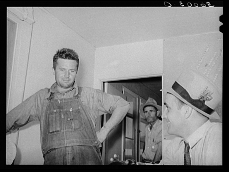
Taken for the Office of War Information and the Farm Security Administration, who photographed the country between 1935 and 1944. Works of United States government photographers, with no known restriction on use. Each opens its catalogue record.
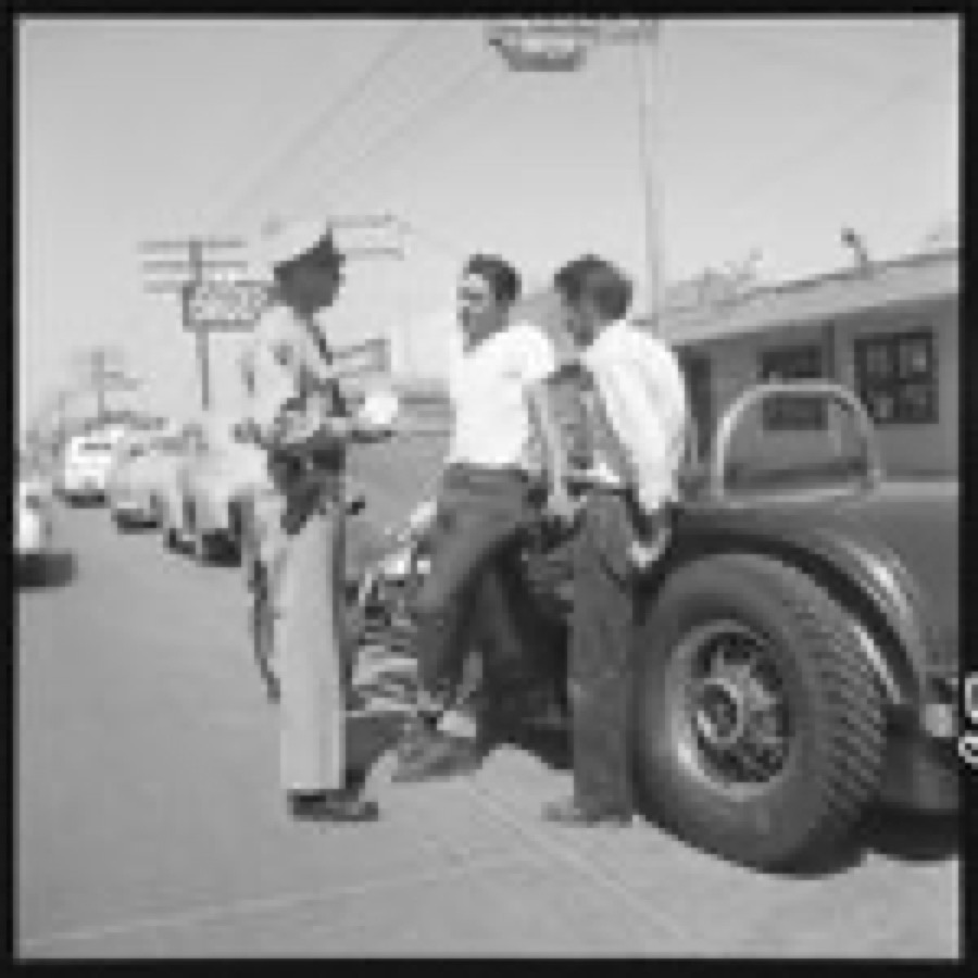
[Image from LOOK - Job 53-1393 titled Teenage drivers
[Image from LOOK - Job 53-1393 titled Teenage drivers
Theisen, Earl, photographer, 1953. Library of Congress
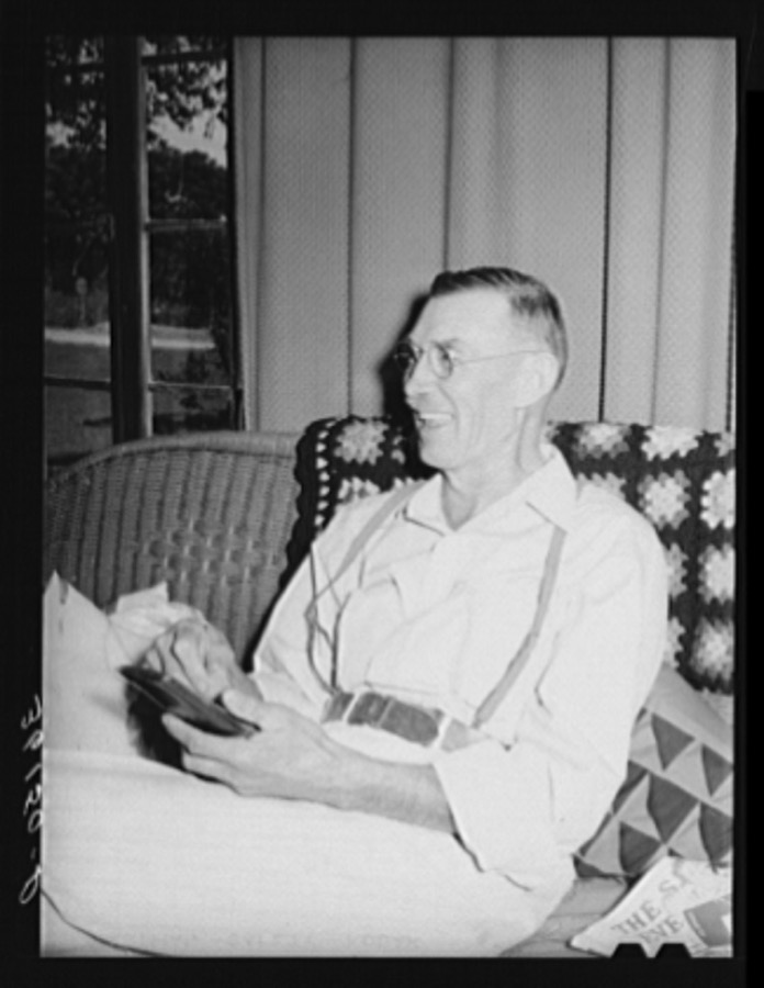
President of the United Producers and Consumers Cooperative. Phoenix, Arizona
Lee, Russell, 1940. Library of Congress
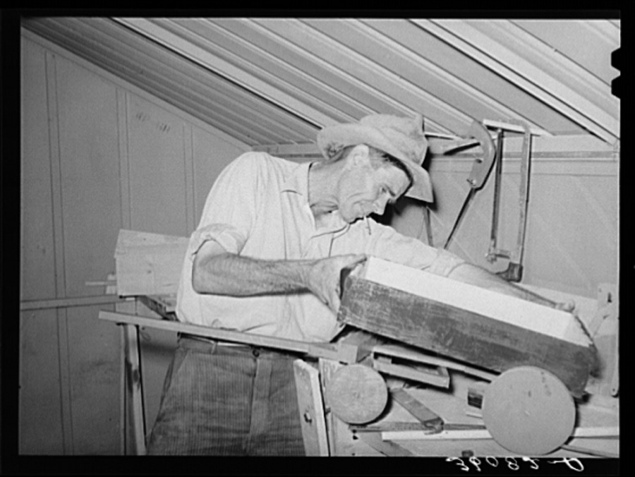
Migratory agricultural laborer making toys for the WPA (Work Projects Administration) nursery school at the Agua Fria migratory labor camp. Arizona
Lee, Russell, 1940. Library of Congress
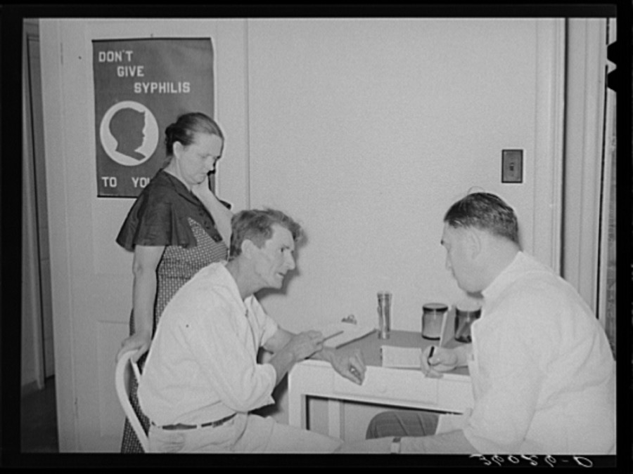
Doctor at clinic taking case history of agricultural worker. Agua Fria migratory labor camp. Arizona
Lee, Russell, 1940. Library of Congress
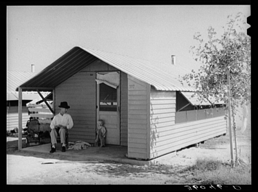
Type of individual family metal shelter at the Agua Fria migratory labor camp. Arizona
Lee, Russell, 1940. Library of Congress
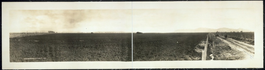
Cashion's Ranch looking south
West Coast Art Co., photographer, 1913. Library of Congress
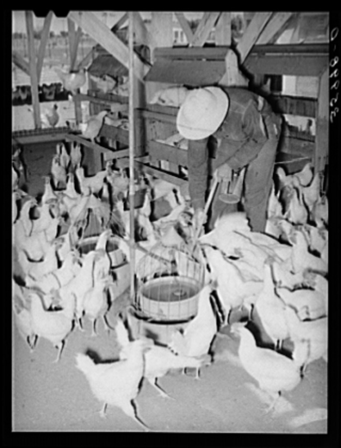
Flock of chickens on the Arizona part-time farm. Maricopa County, Arizona
Lee, Russell, 1940. Library of Congress
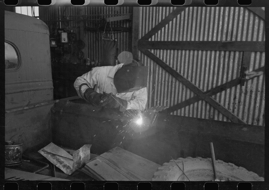
The United Producers and Consumers Cooperative maintains an automobile repair shop. In this picture, a worker is repairing a farmer's truck with an electric welder. Phoenix, Arizona
Lee, Russell, 1940. Library of Congress
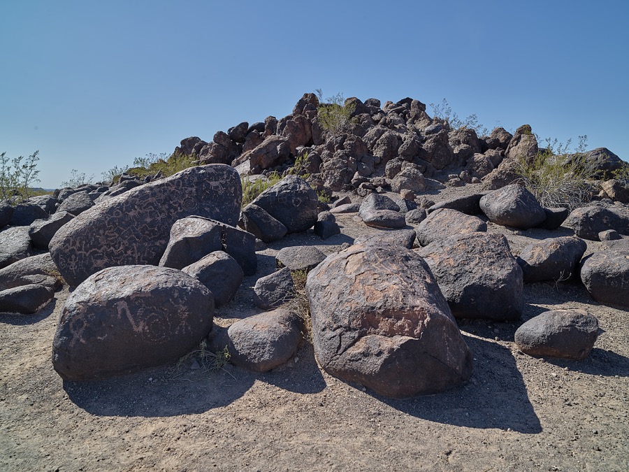
Rock carvings at the Painted Rocks petroglyph site, near the town of Theba in Maricopa County, Arizona. More than 800 images attributed to the Hohokam people have been found among weathered basalt boulders overlaying a granite outcrop in the area
Highsmith, Carol M, 2018. Library of Congress
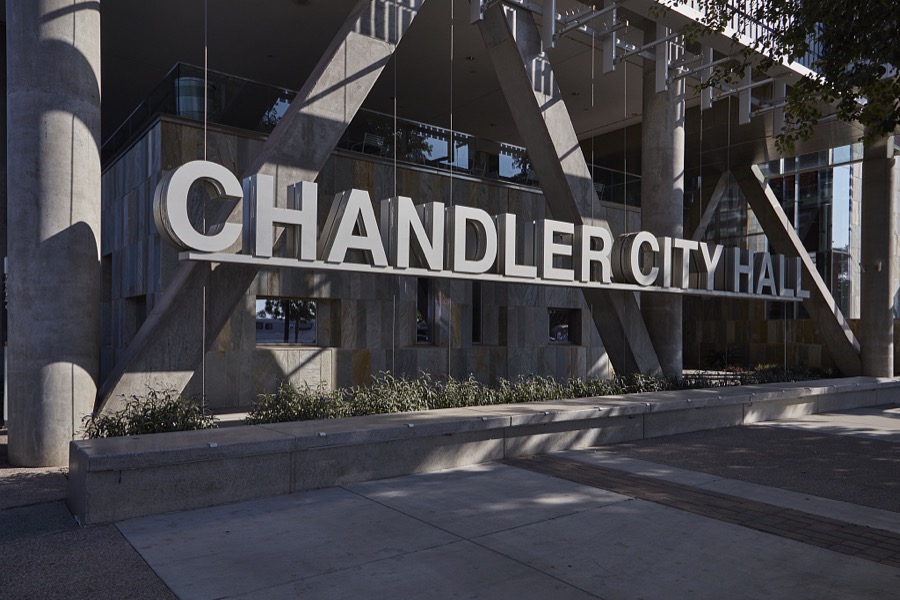
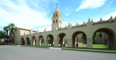
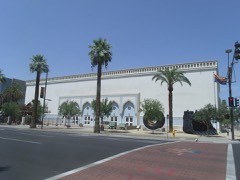
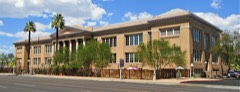
City Hall in Chandler, Arizona, a southern suburb of Phoenix, Arizona
Highsmith, Carol M, 2018. Library of Congress
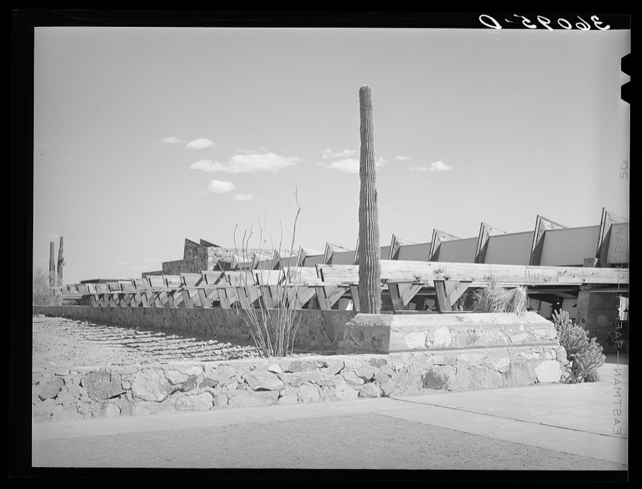
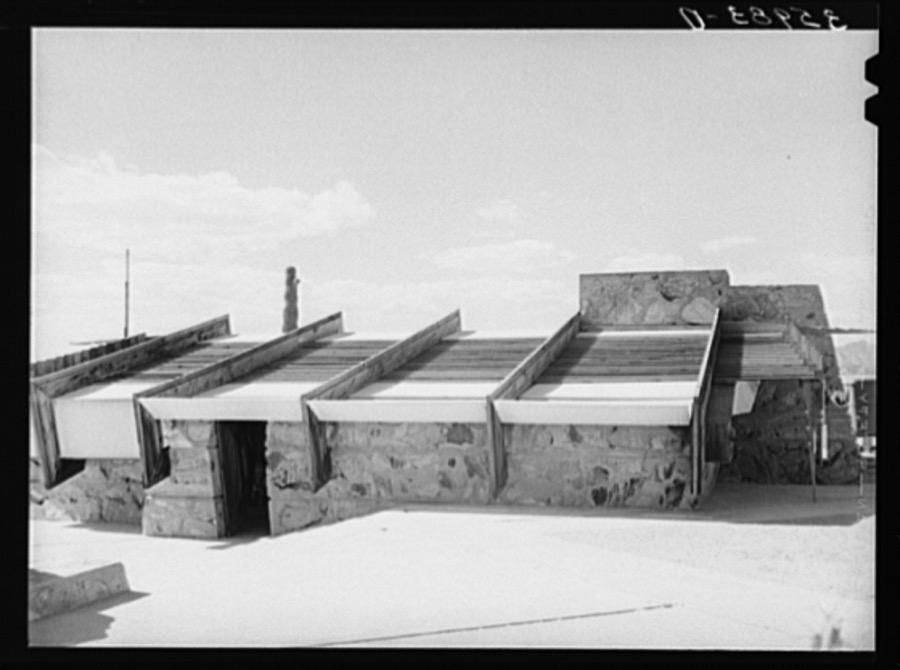
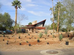
Open arcade downside of drafting room at winter quarters of Frank Lloyd Wright. Foot of McDowell Mountain, Maricopa County, Arizona
Lee, Russell, 1940. Library of Congress
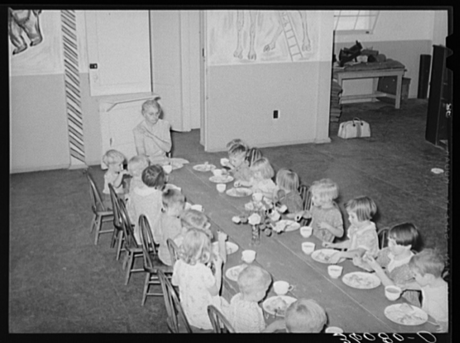
Children of agricultural workers are served lunch at the WPA (Work Projects Administration) nursery school at the Agua Fria migratory labor camp. Arizona
Lee, Russell, 1940. Library of Congress
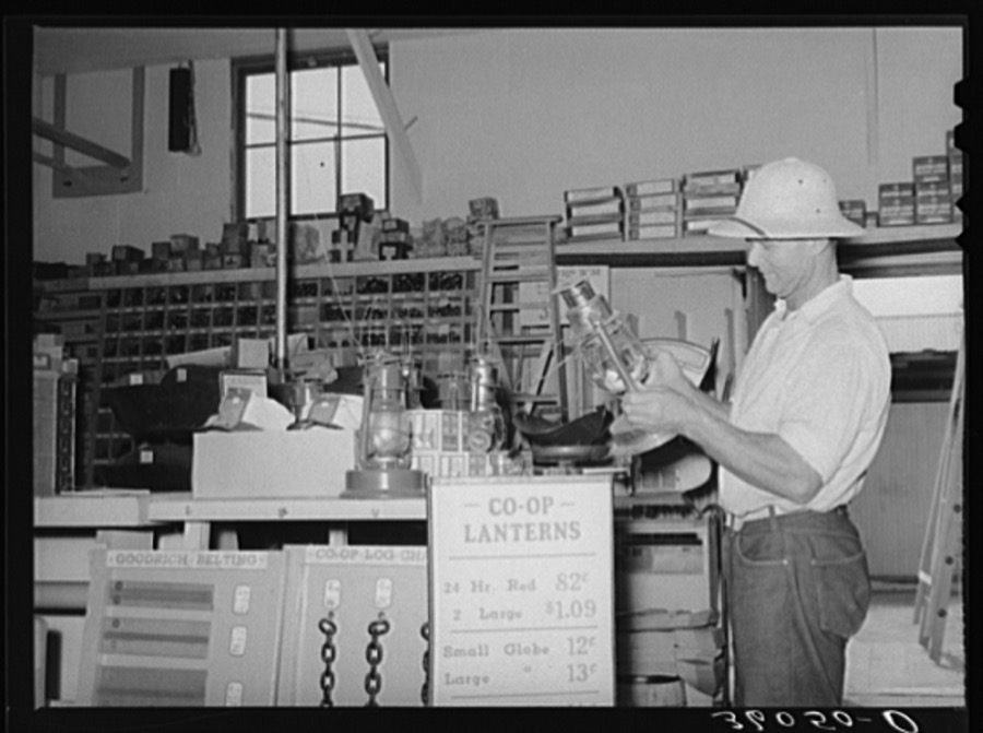
Member of the United Producers and Consumers Cooperative looking at a lantern in the store of the organization. Phoenix, Arizona
Lee, Russell, 1940. Library of Congress
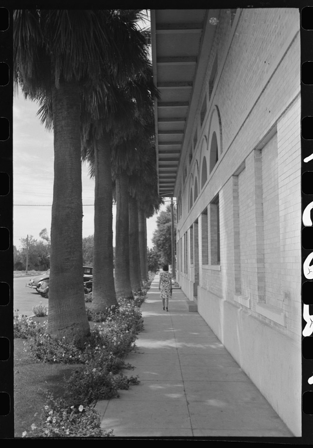
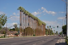
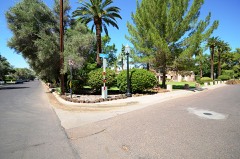
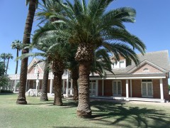
Palm-lined sidewalk at Tempe, Arizona. Irrigation combined with tropical heat produces a luxuriant growth in this section
Lee, Russell, 1940. Library of Congress
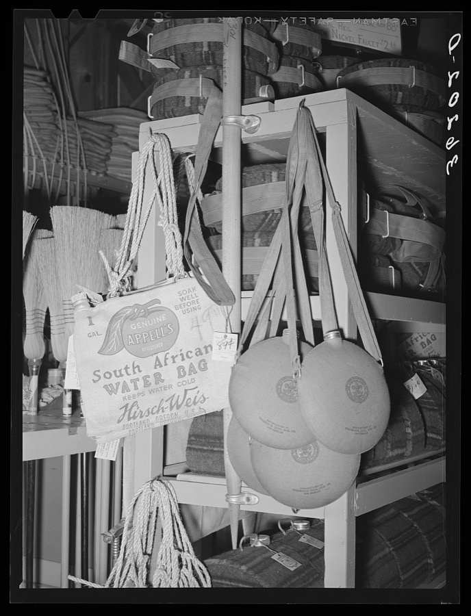
Water bags and canteens, necessities in the arid Southwest, on sale at the United Producers and Consumers Cooperative. Phoenix, Arizona
Lee, Russell, 1940. Library of Congress
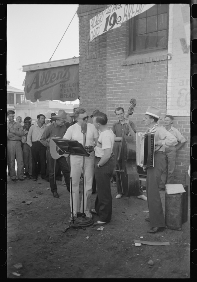
Orchestra playing outside a grocery store on Saturday afternoon which is designed to attract customers to the store, Phoenix, Arizona
Lee, Russell, 1940. Library of Congress
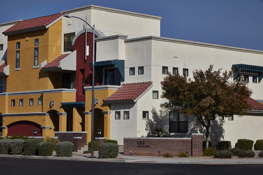
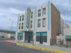
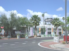
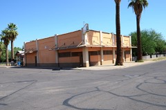
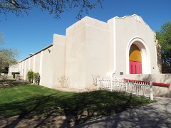
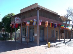
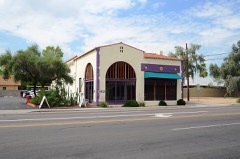
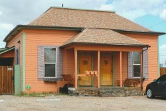
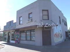
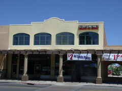
Colorful building in Chandler, Arizona, a southern suburb of Phoenix, Arizona
Highsmith, Carol M, 2018. Library of Congress
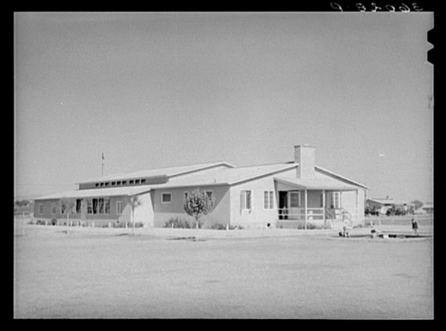
Community building at the Agua Fria migratory labor camp. Arizona
Lee, Russell, 1940. Library of Congress
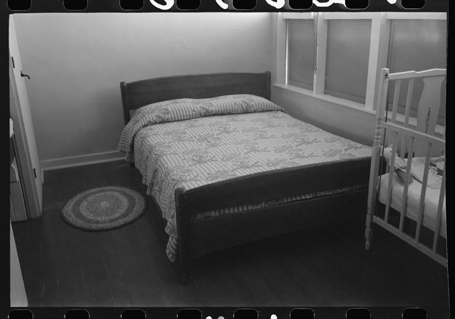
Windows in bedroom of family apartment at the Arizona Part-Time Farms, Chandler Unit, Maricopa County, Arizona. Cross ventilation is provided in all bedrooms on this project
Lee, Russell, 1940. Library of Congress
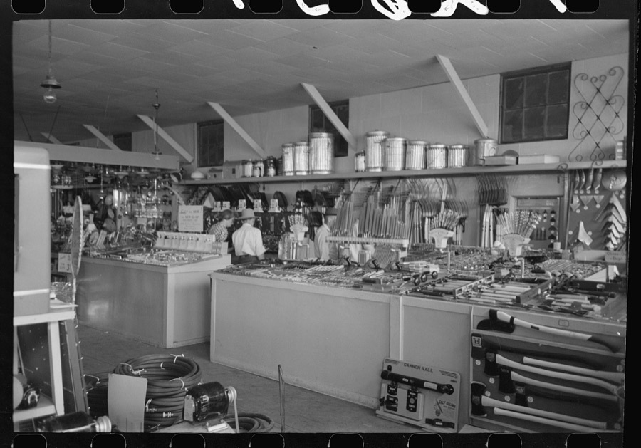
Interior of United Producers and Consumers Cooperative Store at Phoenix, Arizona. This cooperative has over 12,000 members
Lee, Russell, 1940. Library of Congress
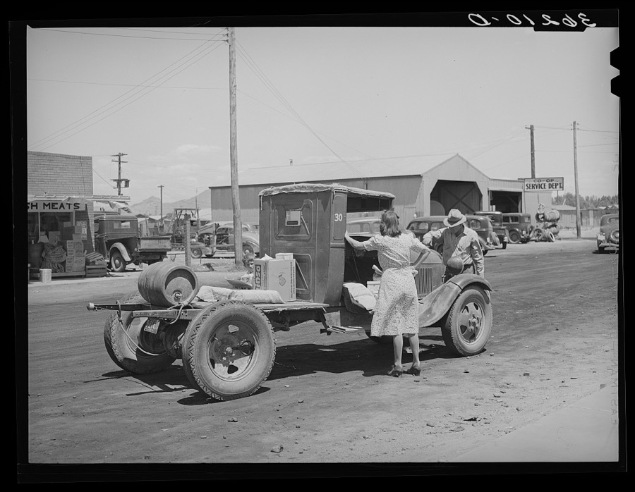
Farmer with his truck loaded with goods which he has bought from the United Producers and Consumers Cooperative. Phoenix, Arizona
Lee, Russell, 1940. Library of Congress
Phoenix, Arizona. Camelback Farms, FSA (Farm Security Administration) project. Neighbors meeting at one of the houses
Lee, Russell, 1942. Library of Congress
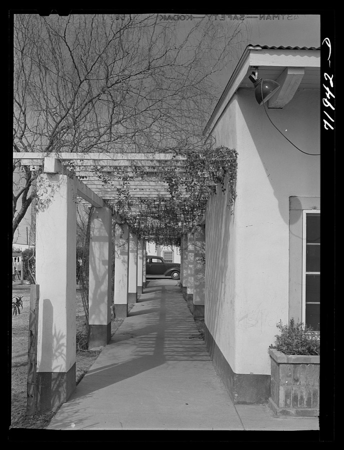
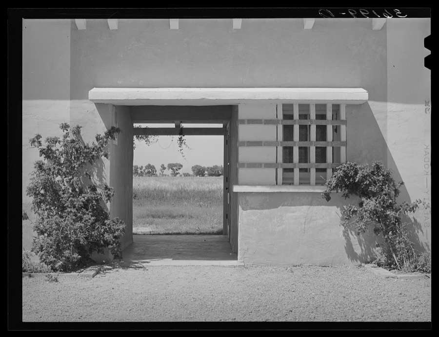
Phoenix, Arizona. Camelback Farms, FSA (Farm Security Administration) project. Open passageway of the community building
Lee, Russell, 1942. Library of Congress
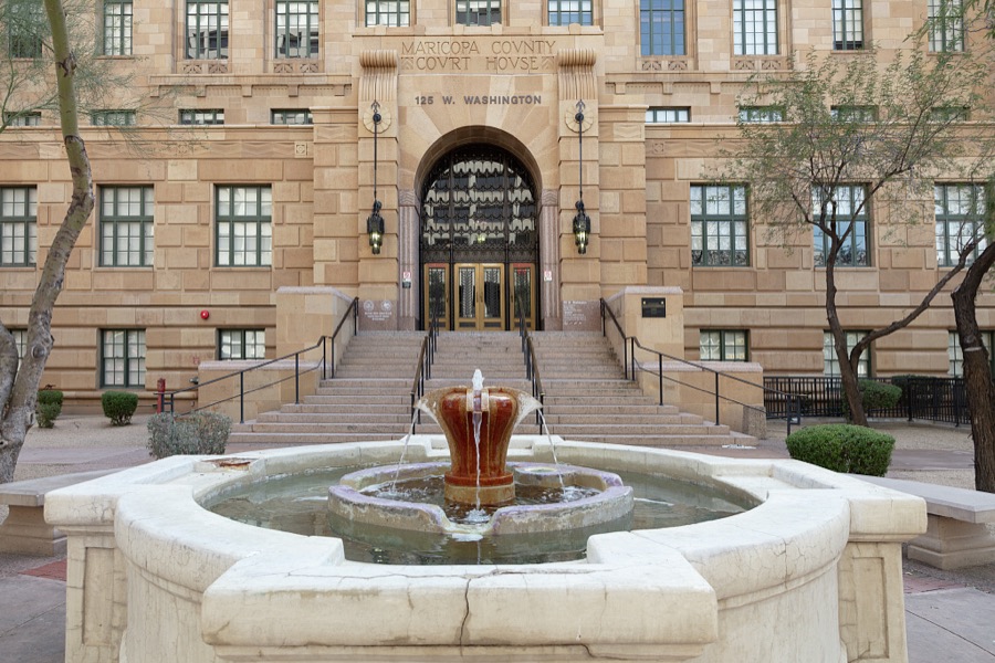
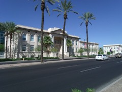
Entrance to the Maricopa County Courthouse in downtown Phoenix, Arizona
Highsmith, Carol M, 2019. Library of Congress
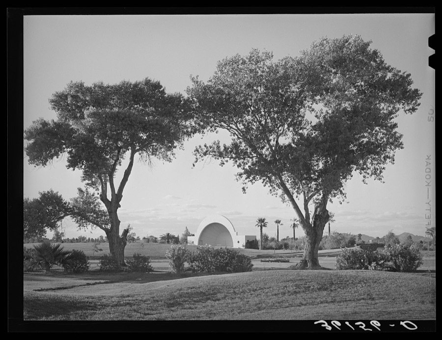
Municipal band shell seen from the golf course. Phoenix, Arizona
Lee, Russell, 1940. Library of Congress
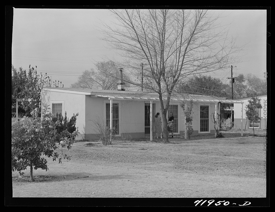
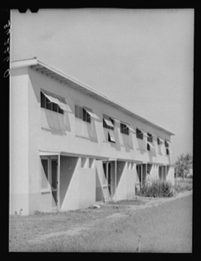
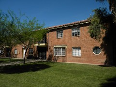
Front of apartment house on the Arizona part-time farms. Chandler Unit, Maricopa County, Arizona
Lee, Russell, 1940. Library of Congress
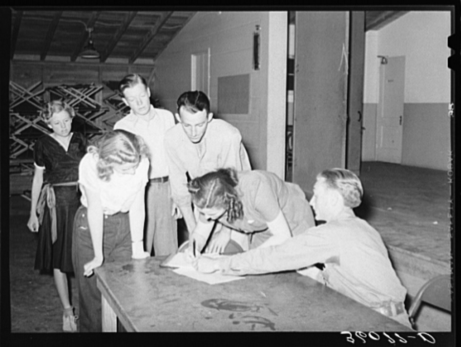
New members signing up at the young people's club at the Agua Fria migratory labor camp. Arizona
Lee, Russell, 1940. Library of Congress
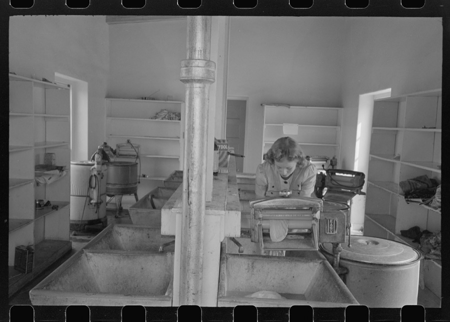
Washday at the FSA (Farm Security Administration) Camelback Farms, Phoenix, Arizona
Lee, Russell, 1942. Library of Congress
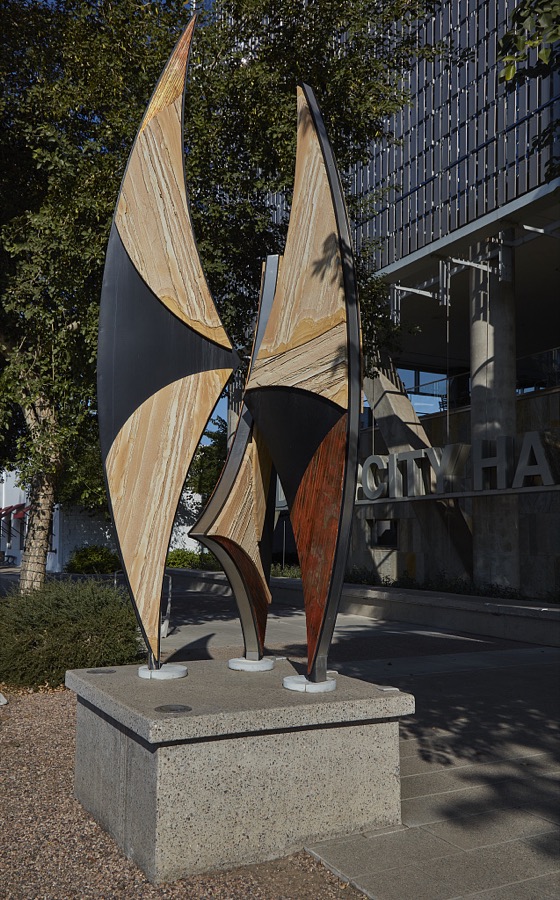
Street art at City Hall in Chandler, Arizona, a southern suburb of Phoenix, Arizona
Highsmith, Carol M, 2018. Library of Congress
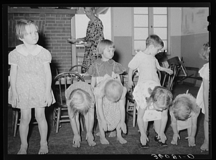
Children taking setting-up exercises at the WPA (Work Projects Administration) nursery school at Agua Fria migratory labor camp. Arizona
Lee, Russell, 1940. Library of Congress
FSA (Farm Security Administration) regional official interviewing man who is interested in living in one of the permanent agricultural laborers' homes at the Aqua Fria migratory labor camp. Arizona
Lee, Russell, 1940. Library of Congress
Detail of roof of drafting room of Frank Lloyd Wrights winter quarters at foot of McDowell Mountain. Maricopa County, Arizona. This roof is of heavy canvas and produces a favorable and even light for drafting work
Lee, Russell, 1940. Library of Congress
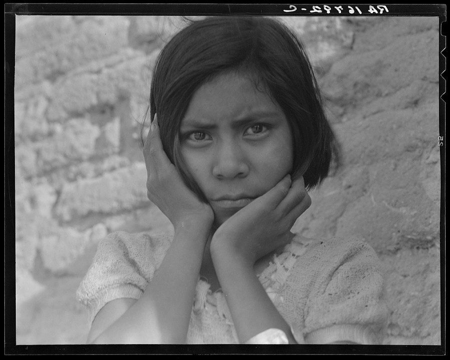
Daughter of Mexican field laborer. Near Chandler, Arizona
Lange, Dorothea, photographer, 1937. Library of Congress
Detail of entrance to the community building at the Arizona part-time farms. Maricopa County, Arizona
Lee, Russell, 1940. Library of Congress
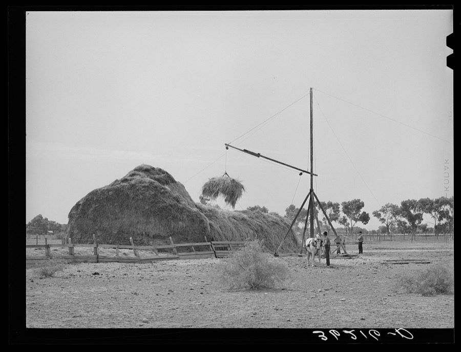
Putting up hay on farm in Maricopa County, Arizona
Lee, Russell, 1940. Library of Congress
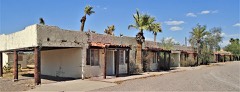
Tourist court in Phoenix, Arizona
Lee, Russell, 1940. Library of Congress
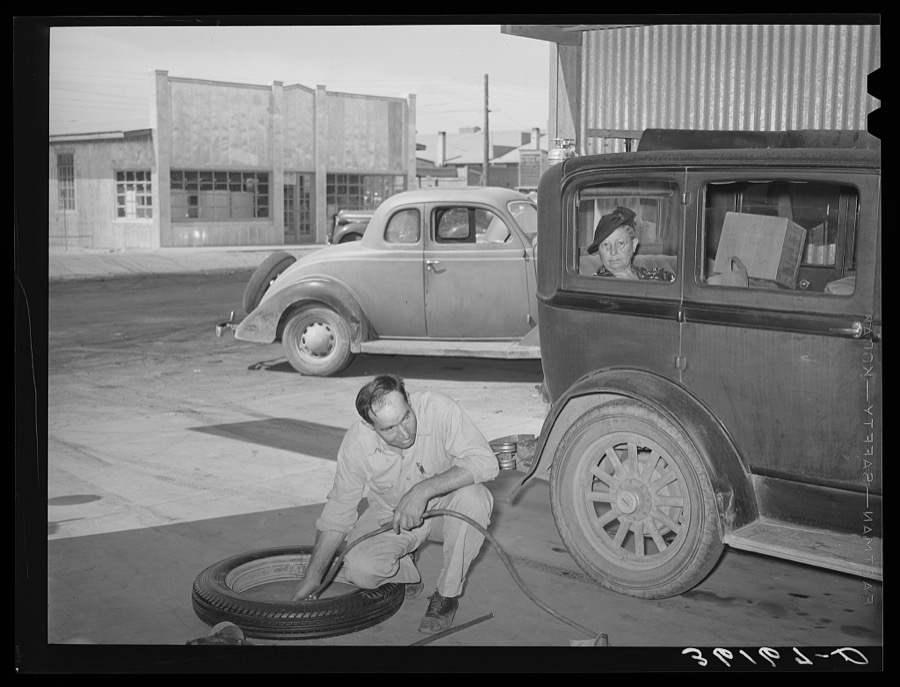
Inflating a new tire for installation on car of member of the United Producers and Consumers Cooperative. Phoenix, Arizona
Lee, Russell, 1940. Library of Congress
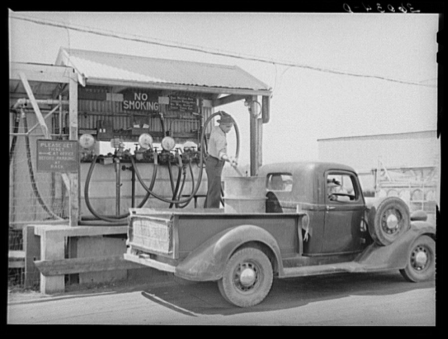
Member of the United Producers and Consumers Cooperative having a drum filled with gasoline at the warehouse. Phoenix, Arizona
Lee, Russell, 1940. Library of Congress
Detail of winter quarters of Frank Lloyd Wright at foot of McDowell Mountain. Maricopa County, Arizona
Lee, Russell, 1940. Library of Congress
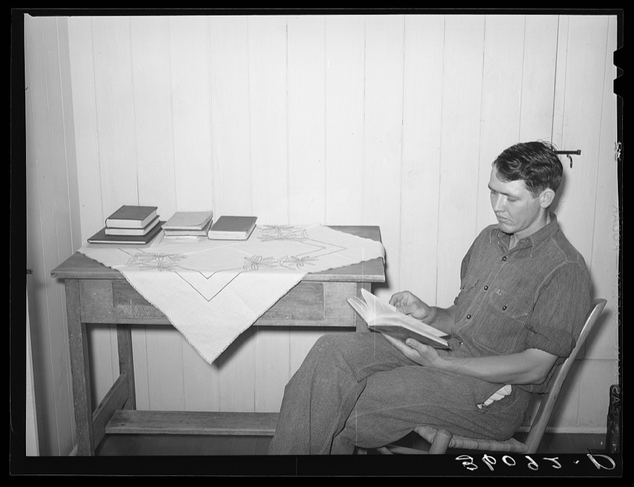
Member of the Arizona part-time farms, Chandler Unit, in bedroom of his apartment on the project studying for civil service examination in poultry culture. Maricopa County, Arizona
Lee, Russell, 1940. Library of Congress
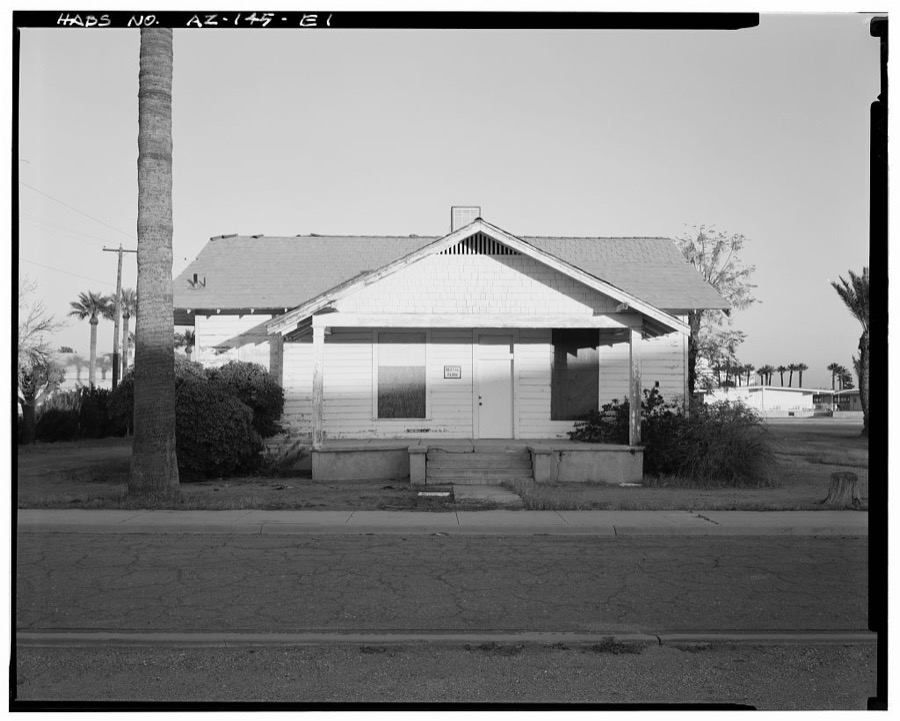
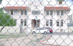
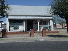
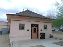
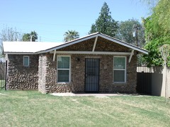
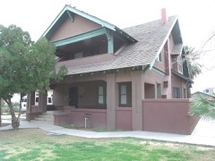
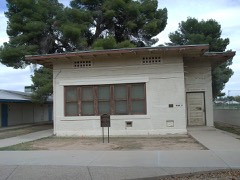
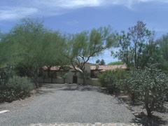
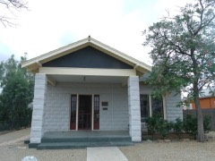
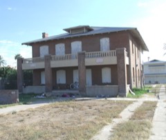
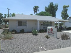
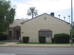
Phoenix Indian School, Cottage, Northeast Corner of Central Avenue & Indian School Road, Phoenix, Maricopa County, AZ
Photographer not recorded. Library of Congress
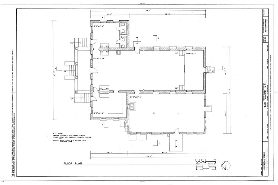
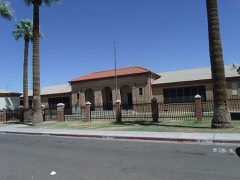
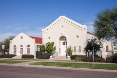
San Xavier Hall, San Xavier Road, Papago, Maricopa County, AZ
Photographer not recorded. Library of Congress
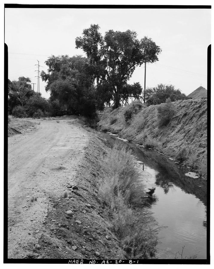
Crosscut Steam Plant, Indian Bend Pond & Pump Ditch, North side Salt River near Mill Avenue & Washington Street, Tempe, Maricopa County, AZ
Photographer not recorded. Library of Congress
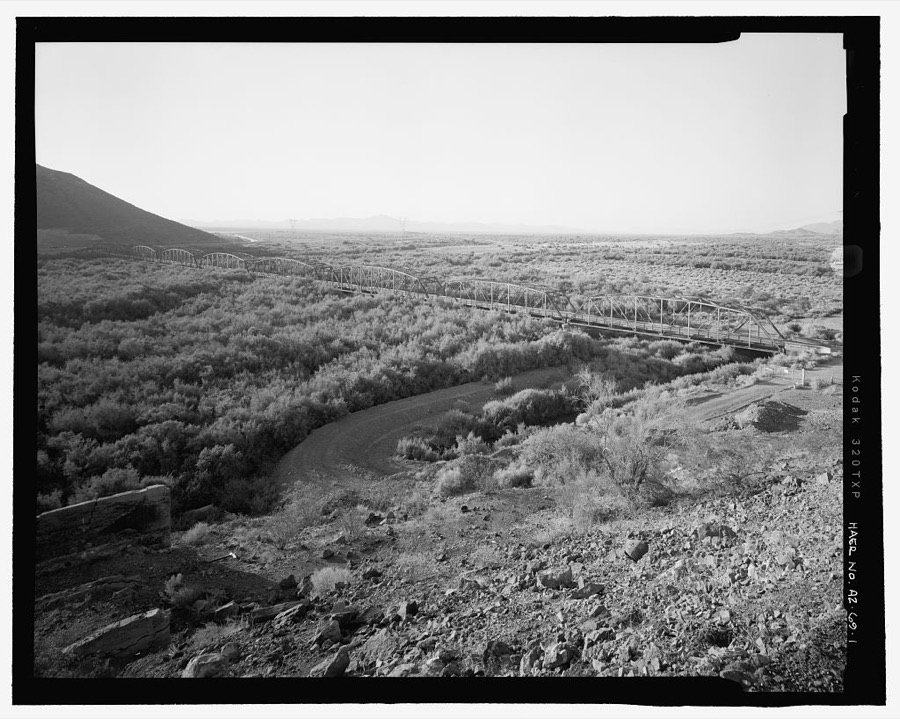
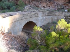
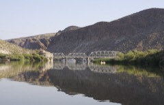
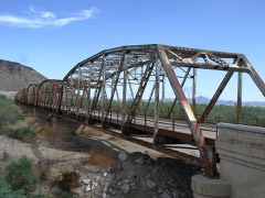
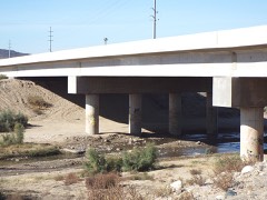
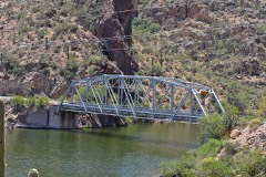
Gillespie Dam Bridge, Spanning Gila River on Old US 80 Highway, south of Gillespie Dam, Arlington, Maricopa County, AZ
Photographer not recorded. Library of Congress
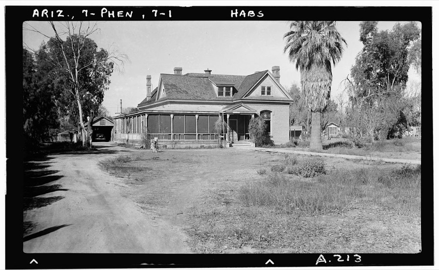
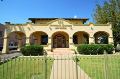
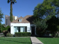
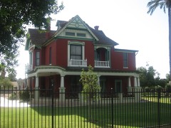
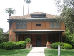
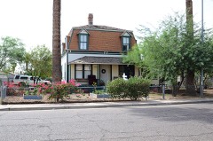
3320 North Central Avenue (House), 3320 North Central Avenue, Phoenix, Maricopa County, AZ
Photographer not recorded. Library of Congress

Places on the National Register

467

Every property in this county listed on the National Register of Historic Places, with the year it was listed and the federal nomination document.

Photograph PropertyType ListedReference
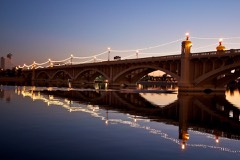
1931 Tempe Bridgestructure198181000137
59th Avenue Residential Historic Districtdistrict200606000767
6th Avenue Hotel-Windsor Hotelbuilding198585002041
915 E. Pierce Street/Grand Pyramid Housebuilding200202000800
Salim Ackel Housebuilding199494000574
Adams Schoolbuilding197979000418
W. E. Adams Housebuilding199594001524
Administration/Science Buildingbuilding198585002169
Adobe House, Glendale Historic Entrywaybuilding200605001505
Eliza and Charles Ainsworth Housebuilding2023100008909
Alchesay Canyon Bridgestructure198888001615
Alhambra Hotelbuilding199191000982
Alma Ward Meeting Housebuilding200605001198
Dr. Lucius Charles Alston Housebuilding201212000240
Alvarado Historic Districtdistrict199494001481
Ammo Bunker (S-1007)structure199595000748
Ammo Bunker (S-1008)structure199595000759
Anchor Manufacturing Co.building198585002042
Helen Anderson Housebuilding198383003449
Anderson-Johannes Housebuilding199594001525
Andre Buildingbuilding197979000419
Angulo-Hostetter Housebuilding200000001266
Arizona Academy-North Hall and South Hallbuilding199393000813
Arizona Army National Guard Arsenalbuilding201010000108
Arizona Citrus Growers Association Warehousebuilding85002043
Arizona Compress & Warehouse Co. Warehousebuilding198585002044
Arizona State Capitol Buildingbuilding197474000455
Arizona State Hospital Buildingbuilding200909000510
Arvizu's El Fresnal Grocery Storebuilding198585002046
Asbury, Cline R. / Riney B. Salmon Housebuilding201010000154
Ashland Place Historic Districtdistrict199494001486
Frank and Emma Avery Housebuilding2020100005297
B. B. Moeur Activity Buildingbuilding198585002171
F. S. Baird Machine Shopbuilding198585002047
Bartlett Damstructure2017100001406
Samuel L. Bartlett Housebuilding199696001057
J. B. Bayless Store No. 7building198585002048
Beadle House No. 11building2017100001786
Beet Sugar Factorybuilding197878000548
Bennitt Mansionbuilding200909000609
Bethlehem Baptist Churchbuilding199393000744
Blount Addition Historic Districtdistrict198686000265
Bohn, Louis J. and Lee, Gertrude, Housebuilding201110001165
Jorgine Boomer Housebuilding201616000071
Borah Housebuilding2018100002209
Borden Homes Historic Districtdistrict201211001072
Borden Milk Co. Creamery and Ice Factorybuilding198484000171
Boulder Creek Bridgestructure198988001599
Bragg's Pies Buildingbuilding200908001313
Brentwood Historic Districtdistrict201010000320
Brophy College Chapelbuilding199393000747
Brown's Pharmacybuilding198585002049
Buckeye Union High School School A-Wingbuilding200909001160
Buckeye Woman's Clubbuilding2021100006596
Buckhorn Baths Motelbuilding200505000421
E.C. Bunch Housebuilding200808000123
Burgess Lateral Historic Districtdistrict200909000221
Cactus Innbuilding198686001576
Camelback 32district2025100011361
Clinton Campbell Housebuilding94001526
Campus Vista Historic Districtdistrict201010000321
Cartwright Schoolbuilding199393000739
Casa Del Northerndistrict2022100007472
Cave Creek Service Stationbuilding200000001126
William Edward Cavness Housebuilding200101001191
Celebrity Theatrebuilding2019100003323
Celora Stoddard/Lon Harmon Housebuilding198383003451
Central Schoolbuilding198282002080
Chambers Transfer & Storage Co.building198585002052
Chambers Transfer & Storage Co.-Central Warehousebuilding198585002051
Chandler Commercial Historic Districtdistrict200000001127
Chandler High Schoolbuilding200707000836
Cheery Lynn Historic Districtdistrict199494001485
Chelsea Place Historic Districtdistrict198383003452
C. W. Cisney Housebuilding94001527
George E. Cisney Housebuilding201594001528
City Hall and Jailbuilding198686001577
Civil Engineering Maintenance Shopbuilding199595000747
H. M. Coe Housebuilding199594001529
Coffelt-Lamoreaux Homes Historic Districtdistrict201414001081
Concrete Block Housebuilding198383003456
Concrete Block Housebuilding83003457
Concrete Block Housebuilding198383003455
Connor-Harold Housebuilding2023100008908
Ralph Converse Housebuilding201010000153
Colonel Edward Power Conway Housebuilding201110001164
Neil and Louise Cook Housebuilding201616000782
Copeland & Tracht Service Stationbuilding198585002054
Coronado Neighborhood Historic Districtdistrict198686000206
Coronado Neighborhood Historic District (Boundary Increase)district199391002029
Country Club Park Historic Subdivisiondistrict199494001484
Craig Mansionbuilding199292001013
Curtis Cottagebuilding199393000344
Date Palm Manor Historic Districtdistrict201515000883
Lester D. DeMund Housebuilding199594001520
Del Norte Place Historic Districtdistrict199494001482
Demountable Hangarstructure199595000743
Adam Diller Housebuilding201110001163
Dome Housebuilding2018100002208
Doughterty, J. B., and C. W. Peterson Housebuilding199594001540
Lewis Douglas Housebuilding198585000188
George O. Dowdy Rental Cottagebuilding200909000246
Dunbar Schoolbuilding199393000740
Charles H. Dunlap Housebuilding198383003466
Durand Grocerybuilding198585002891
Earll Place Historic Districtdistrict200606000468
East Alvarado Historic Districtdistrict200000000102
East Evergreen Historic Districtdistrict201010000322
Rose Eisendrath Housebuilding201111000206
El Zaribah Shrine Auditoriumbuilding198989000168
Elder-Moffitt Housebuilding199594001605
Elias-Rodriguez Housebuilding198484000684
Elizabeth Seargeant-Emery Oldaker Housebuilding198383003472
Elliott Housebuilding198484000693
George Ellis Housebuilding199999001065
Ellis-Shackelford Housebuilding198383003475
Encanto Manor Historic Districtbuilding201010000323
Encanto Vista Historic Districtdistrict201010000324
Encanto-Palmcroft Historic Districtdistrict198484000696
Encanto-Palmcroft Historic District (Boundary Increase II)district199494000461
Encanto-Palmcroft Historic District (Boundary Increase)district199292000670
Encanto-Palmcroft Historic District (Boundary Increase III)district201716000722
England, Abner Elliot-Lawrence, Guy Hidden, Housebuilding201110001162
Evans Housebuilding197676000375
Evergreen Historic Districtdistrict199999000706
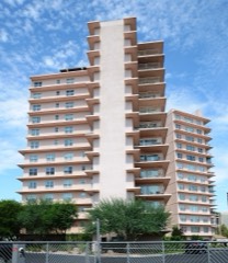
Executive Towersbuilding2017100000455
Eyrich-Kohl Housebuilding199594001530
Fairview Place Historic Districtdistrict199494001483
Falcon Field World War II Aviation Hangersbuilding201616000266
Farmer-Goodwin Housebuilding197272000197
Firestonebuilding198585002892
First Baptist Churchbuilding198282002081
First Church of Christ Scientistbuilding199393000745
First Methodist Episcopal Church of Glendale Sanctuarybuilding200605001502
First National Bank of Glendale Buildingbuilding198383002991
First Presbyterian Churchbuilding199393000746
First Presbyterian Church of Peoriabuilding201212000493
Fish Creek Bridgestructure198888001600
Flagpoleobject199595000744
Fort McDowelldistrict199292001050
Frankenberg Housebuilding198181000138
Frankenberg Housebuilding200807001333
Franklin Schoolbuilding199393000814
Fraser Fields Historic Districtdistrict201010000535
Fry Building-Baxter Blockbuilding198585002056
Garcia Schoolbuilding198282002087
Garfield Historic Districtdistrict201010000325
Garfield Methodist Churchbuilding199393000743
Neil H. Gates Housebuilding198686002646
General Sales Company Warehousebuilding201616000681
Gerardo's Buildingbuilding198585002057
Carter W. Gibbes Housebuilding198383002992
Gila Bend Overpassstructure198888001607
Gilbert Elementary Schoolbuilding198080000762
Gillespie Dam Highway Bridgestructure198181000136
Glaus Housebuilding2021100006706
Glendale Gardens Historic Districtdistrict201211001073
Glendale Grammar School One-room Class Buildingbuilding200605001503
Glendale High School Auditoriumbuilding200606000326
Glendale Townsite-Catlin Court Historic Districtdistrict199292000680
Glendale Townsite-Catlin Court Historic District (Boundary Increase)district200707001088
Glendale Tract Historic Districtdistrict200605001506
Glendale Woman's Club Clubhousebuilding198989001003
Gonzales-Martinez Housebuilding198484000708
Goodwin Buildingbuilding198484000710
Grace Lutheran Churchbuilding199393000835
Grady Gammage Memorial Auditoriumbuilding198585002170
Grand Avenue Commercial Historic Districtdistrict2024100010434
Lois Grunow Memorial Clinicbuilding198585002065
Guadalupe Cemeterysite2022100008342
Roy Hackett Housebuilding197474000458
Burgess A. Hadsell Housebuilding199594001531
Halm, George M. and Howard, Mary Alverda, Housebuilding201110001161
Hanny'sbuilding198585002058
Sarah and Jack Harelson Housebuilding201010000152
Harrington-Birchett Housebuilding198484000716
Hassayampa River Bridgestructure198888001658
Hayden Flour Milldistrict2024100010872
C. T. Hayden Housebuilding198484000173
Heard Buildingbuilding198585002059
Hiatt Housebuilding198484000720
George Hidden Housebuilding199594001532
Higuera Grocerybuilding85002893
Franklin Hilgeman Housebuilding2017100001229
Fred G. Hilvert Housebuilding201616000700
Horse Mesa Damstructure2017100001408
Horseshoe Damstructure2017100001409
Hotel St. Jamesbuilding201585002061
Hotel Westward Hobuilding198282002082
House at 160 Apachebuilding198686001578
House at 170 Centerbuilding198686001579
House at 185 Washingtonbuilding198686001580
House at 818 South 1st Avenuebuilding199594001538
Housing Storage Supply Warehousebuilding199595000746
L. Ron Hubbard Housebuilding200909000953
William K. Humbert Housebuilding198383003476
Hunt Bass Hatchery Caretaker's Housebuilding200302001723
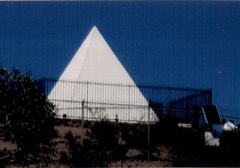
Hunt's Tombstructure200808000526
Hurley Buildingbuilding198585002062
Idylwilde Park Historic Districtdistrict199898000054
Immaculate Heart of Marybuilding199393000742
Industrial Arts Buildingbuilding198585002168
Initial Point of the Gila and Salt River Base Line and Meridiansite200202001137
Irving Schoolbuilding200000001323
Jacobs Housebuilding198686001581
Judge Fred C. Jacobs Housebuilding201110001169
Jefferson Hotelbuilding2019100004509
Edward L. Jones Housebuilding199696001474
Kaler Housebuilding199292001686
Kenilworth Elementary Schoolbuilding198282002083
Kenilworth Historic Districtdistrict198383003478
Louise Lincoln Kerr House and Studiobuilding201010000173
King's Rest Hotel Motor Courtbuilding198787001882
Denison Kitchell Housebuilding199494000448
Kiva Craft Centerbuilding2022100007876
Knights of Pythias Buildingbuilding198585002063
Walter Wesley Knorpp Housebuilding2023100008580
Koontz, Kinter K.building201111000463
La Hacienda Historic Districtdistrict200909000002
Hugh Laird Housebuilding198484000726
C. A. Larson Housebuilding199594001533
Laveen School Auditoriumbuilding199696000040
Lehi Schoolbuilding200101000906
Lewis and Pranty Creek Bridgestructure198888001601
Liberty Methodist Episcopal Church, Southbuilding2017100001752
Lightning Delivery Co. Warehousebuilding85002064
Samuel C. Long Housebuilding198080000765
Los Olivos Historic Districtdistrict201010000326
Luhrs Buildingbuilding202485003561
MacLennan Housebuilding198686001582
Main Building, Tempe Normal Schoolbuilding198585000052
Manistee Ranchdistrict199898000322
Margarita Place Historic Districtdistrict200707000279
Maricopa County Courthousebuilding198988003237
Masonic Hallbuilding198686001583
Matthews Hallbuilding198585000053
James H. McClintock Housebuilding199090001525
Colonel Willard H. McCornack Housebuilding2020100005074
McCullough-Price Housebuilding200909000311
Jonas McNair Housebuilding200606000768
Medlock Place Historic Districtdistrict200606000434
Mesa Journal-Tribune FHA Demonstration Homebuilding200388003056
Mesa Woman's Clubbuilding199191000995
Miracle Mile Historic District (Additional Documentation)district2022100008193
Moeur Parkdistrict201414000888
Gov. Benjamin B. Moeur Housebuilding201212000295
W. A. Moeur Housebuilding198484000730
Monroe Schoolbuilding197777000237
Morgan, David-Bronson, Earl A., Housebuilding201110001168
Mormon Flat Bridgestructure198888001598
Mormon Flat Damstructure2017100001410
Morristown Storebuilding199191001003
Morrow-Hudson Housebuilding198484000733
C. P. Mullen Housebuilding198484000734
Municipal Light Plantbuilding198686001584
Myrtle Avenue Residential Historic Districtdistrict200908001345
Rhoda Nohlechek Housebuilding199696000529
North Central Avenue Streetscape Historic Districtdistrict200505001346
North Encanto Historic Districtdistrict200706001262
North Garfield Historic Districtdistrict201010000327
Northfield Historic Districtdistrict201010000234
Sandra Day O'Connor Housebuilding2019100004185
Oakland Historic Districtdistrict199292000847
Oakland Historic District (Boundary Decrease and Increase)district200101000164
Old Barber Shopbuilding198686001585
Old Brick Post Officebuilding198686001586
Olney, George A/Everett E. Ellinwood Housebuilding201010000155
Ong Yut Geong Wholesale Marketbuilding198585002066
Jim Ong's Marketbuilding198282002084
Orpheum Theaterbuilding198585002067
William Lewis Osborn Housebuilding199191000544
Our Lady of Perpetual Help Mission Churchbuilding2018100002979
Overland Arizona Co.building85002896
Painted Rockssite197777000238
Palm Lane Gardensbuilding200909001112
E. Payne Palmer Housebuilding200202000420
Park of the Canalsdistrict197575000350
Pay'n Takit #13building198585002068
Pay'n Takit #25building198585002070
Pay'n Takit #5building198585002069
Sarah H. Pemberton Housebuilding2017100001557
Peoria High School Old Mainbuilding2018100000551
Peoria Jail Housebuilding2020100004993
Niels Petersen Housebuilding197878000553
Phoenix Building and Loan Housebuilding199594001534
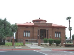
Phoenix Carnegie Library And Library Parkbuilding197474000456
Phoenix Elementary School District No. 1 Administration Buildingbuilding199795001076
Phoenix Homesteads Historic Districtdistrict198787001430
Phoenix Homesteads Historic District Boundary Increasesite201010000844
Phoenix Indian School Historic Districtdistrict200101000521
Phoenix LDS Second Ward Churchbuilding198383003492
Phoenix Motor Companybuilding2018100003064
Phoenix Seed & Feed Companybuilding198585002071
Phoenix Towersbuilding200807001334
Phoenix Townsitedistrict197878000550
Phoenix Union Colored High Schoolbuilding199191000543
Phoenix Union High School Historic Districtdistrict198282002085
Harry E. Pierce Housebuilding198383003493
N. Clyde Pierce Housebuilding199897001602
Pieri-Elliot Housebuilding198383003500
Pierson Placedistrict2019100004344
Pine Creek Bridgestructure198888001602
Pioneer Military and Memorial Parksite200706001317
Ponderosa IIbuilding2018100002146
Portland Street Historic Districtdistrict198383003491
Charles H. Pratt Housebuilding199696001274
President's Housebuilding198585000054
Professional Buildingbuilding199385003563
Pueblo Grande Ruindistrict196666000185
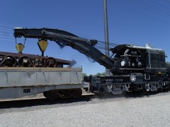
Railroad Steam Wrecking Crane and Tool Carstructure200707001301
Rancho Arroyobuilding200303000901
Rancho Joaquina Housebuilding198484000786
Byron Redden Housebuilding198484000738
Lowell Redden Housebuilding198585000407
Regency Housebuilding201616000630
Rehbein Grocerybuilding198585002895
Rittenhouse Elementary Schoolbuilding199898000053
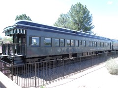
Roald Amundsen Pullman Private Railroad Carstructure200909000582
Robson Historic Districtdistrict200303000530
Roman Roadsbuilding2018100003124
Roosevelt Addition Historic Districtdistrict200909000959
Roosevelt Historic Districtdistrict198383003490
John M. Ross Housebuilding200000000145
Dr. Roland Lee Rosson Housebuilding197171000112
Royale Gardens IIdistrict2022100008192
Sacred Heart Churchbuilding201212000124
Sacred Heart Home for the Agedbuilding201005001548
Safeway Pay 'n Takitbuilding198686001587
Sage Acres Historic Districtdistrict201211001074
Sahuaro Ranchdistrict198080000763
Salt River Project Diversion and Conveyance System Historic Districtdistrict2017100001454
San Carlos Hotelbuilding198383003498
San Marcos Hotelbuilding198282002078
Sands Estate Historic Districtdistrict201111000192
Sands North Townhouses Historic Districtdistrict2022100008212
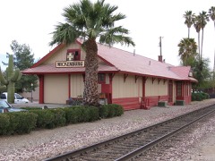
Santa Fe Railroad Depotbuilding198686001588
Robert Scott Housebuilding198282002079
Scottsdale Grammar Schoolbuilding199494000571
Scottsdale Northbuilding2023100008581
B. H. Scudder Rental Housebuilding198484000740
Security Buildingbuilding198585002081
Selleh Housebuilding200505001197
Service Station, Glendale Historic Entrywaybuilding200605001505
M. J. Sharp Housebuilding199594001535
Shell Oil Co.building198585002073
Shride Housebuilding198686001589
Silk Stocking Neighborhood Historic Districtdistrict201111000567
Sirrine Housebuilding199595001082
E. W. Skinner Housebuilding199594001536
Walter Lee Smith Housebuilding201110001167
Smurthwaite Housebuilding200101000479
Dr. Bertram L. Snyder Housebuilding2024100010454
Southern Pacific Railroad Locomotive No. SP 2562 and Tender No. 8365structure200909000511
Spangler-Wilbur Housebuilding199393001141
Squaw Peak Innbuilding199696000760
St. Mary's Churchbuilding197878000551
St. Mary's Church-Our Lady of Mount Carmel Catholic Churchbuilding197878000552
Steinegger Lodging Housebuilding198686001369
C.P. Stephens DeSoto Six Motorcarsbuilding201313000019
Stewart Mountain Damstructure2017100001411
Judge W. H. Stillwell Housebuilding94001537
Stoneman Road Military Trail Segmentsite2025100011210
Storage Warehousebuilding198585002074
Storms Housebuilding198686001590
F. Q. Story Neighborhood Historic Districtdistrict198888000212
F. Q. Story Neighborhood Historic District (Boundary Increase)building199392001834
Ralph H. Stoughton Estatebuilding198585001475
Stout's Hotelbuilding2018100002980
Strauch Housebuilding199191000983
Courtney and Hilda Stubbs Housebuilding201110001166
Suhwaro Hotelbuilding199494000575
Sun City DEVCO Model No.1building201515000022
Sun Mercantile Buildingbuilding198585002075
Sun-Up Ranchdistrict198888000558
Sun-Up Ranch (Boundary Decrease)building200908001307
Sunflower Ranger Staitonbuilding199393000528
Sutton Placedistrict2022100007785
Swindall Tourist Innbuilding199595001081
Taliesin Westbuilding197474000457
Tal'-Wi-Wi Ranchdistrict2025100011259
Tempe Beach Stadiumstructure198585000055
Tempe Buttesite201111000175
Tempe Concrete Arch Highway Bridgestructure198484000743
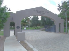
Tempe Double Butte Cemetery Pioneer Sectionsite201313000020
Tempe Hardware Buildingbuilding198080000767
Tempe Woman's Clubbuilding200000000461
Temple Beth Israelbuilding201111000043
Temple Historic Districtdistrict200000001321
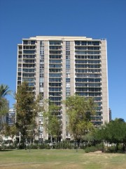
The Olympus Condominiumsdistrict2024100010859
Thunderbird Estates and The McDonald Addition Historic Districtdistrict201010000235
C.H. Tinker Housebuilding200605001504
Title and Trust Buildingbuilding198585002076
Frank Titus Housebuilding198282002086
Tomlinson Estates Historic Districtdistrict201515000884
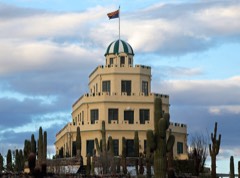
Tovrea Castlebuilding199696000309
Town and Country Scottsdale Residential Historic Districtdistrict200909000694
Tubercular Cabinbuilding200101001172
Tucson, Cornelia and Gila Bend Railroad Caboose No. 15structure100001660
Judge Charles Austin Tweed Housebuilding198787000775
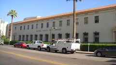
U.S. Courthouse and Federal Office Buildingbuilding2021100006317
U.S. Post Officebuilding198383002993
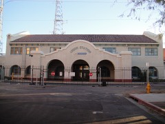
Union Stationbuilding198585003056
University Park Historic Districtdistrict200807001174
George B. Upton Housebuilding198686001592
Valley Field Riding and Polo Clubbuilding200908001405
Valley National Bank Branch No. 10building2021100007157
Valley Plumbing & Sheet Metalbuilding198585002894
Verde Park Pumphousebuilding199595001078
Vernetta Hotelbuilding198686001593
Victoria Place Historic Districtdistrict198888000384
Vienna Bakerybuilding198080000764
Villa Verde Plat A and Villa Verde Plat B Historic Districtdistrict201010000328
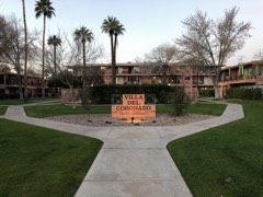
Villa del Coronadobuilding200909001113
Village Grove 1-6 Historic Districtdistrict201010000236
George H. Vradenburg Housebuilding201010000156
Harry Walker Housebuilding198484000745
J. W. Walker Building-Central Arizona Light & Powerbuilding198585002077
Water Pump Station and Water Towerstructure199595000745
Webster Auditoriumbuilding199090000823
Welnick Arcade Market and Liefgreen Seed Company Buildingbuilding201616000490
West Second Street Historic Districtdistrict199999000707
West Second Street Historic District (Boundary Revision)district200303000531
West Side-Clark Addition Historic Districtdistrict201010000534
Western Wholesale Drug Co. Warehousebuilding198585002078
Westwood Village and Estates Historic District (Additional Documentation)district2021100007166
E. M. White Dairy Barnbuilding198484000176
J. T. Whitney Funeral Homebuilding198585002079
John G. Whittier Schoolbuilding199393000741
Wickenburg High School Gymnasiumbuilding198686001594
Wickenburg High School and Annexbuilding198686001595
Wickenburg Ice and Cold Storagebuilding198686001596
Henry Wickenburg Pioneer Cemeterysite201111000151
Wickenburg-Boetto Housebuilding200606000912
Wilbur Street Historic Districtdistrict199999000708
Willo Historic Districtdistrict199190002099
Willo Historic District (Boundary Increase)district199796001497
Dudley and Hope Windes Farmsteaddistrict2024100009923
Windsor Square Historic Districtdistrict200000001499
Wisdom Housebuilding198787001590
Woodland Historic Districtdistrict199292000839
Woodlea Historic Districtdistrict201010000329
Wranglers Roostbuilding2022100008046
David and Gladys Wright Housebuilding2022100007156
William Wrigley Jr. Winter Cottagebuilding198989001045
Yaple Park Historic Districtdistrict201010000330
Yaun Ah Gim Groceriesbuilding198686001553
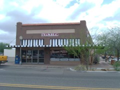
el chaparralbuilding201111000631

Digitised newspapers

58 issues

Sampled issues, machine-read from the Library of Congress scan and published page by page, so every headline and column is searchable text.

Weekly Phoenix Herald

Phoenix, Maricopa County, Ariz. Territory [Ariz.], 1882 to 1896. Machine-read from the Library of Congress scan.

Phoenix Weekly Herald

Phoenix, Maricopa County, Ariz. Territory, 1896 to 1899. Machine-read from the Library of Congress scan.

Arizona Republican

Phoenix, Ariz., 1890 to 1930. Machine-read from the Library of Congress scan.

Salt River Herald

Phoenix, Salt River Valley, Maricopa County, A.T. [Ariz.], 1878 to 1879. Machine-read from the Library of Congress scan.

The Phoenix Herald

Phoenix, Maricopa County, A.T. [Ariz.], 1879 to 1882. Machine-read from the Library of Congress scan.

The Weekly Republican

Phoenix [Ariz.], 1891 to 1892. Machine-read from the Library of Congress scan.

Arizona Weekly Republican

Phoenix, Ariz., 1892 to 1899. Machine-read from the Library of Congress scan.

The Arizona Gleam

Phoenix, Ariz., 1929 to 193?. Machine-read from the Library of Congress scan.

Mesa Free Press

Mesa, Ariz., 1892 to 1901. Machine-read from the Library of Congress scan.

El Progreso

Phoenix, Ariz., 1??? to 19??. Machine-read from the Library of Congress scan.

The News-Herald

Wickenburg, Ariz., 1901 to 1907. Machine-read from the Library of Congress scan.

Arizona State Miner

Wickenburg, Ariz., 1919 to 1927. Machine-read from the Library of Congress scan.

Phoenix Tribune

Phoenix, Ariz., 1918 to 193?. Machine-read from the Library of Congress scan.

Buckeye Valley News

Buckeye, Ariz., 1912 to 1935. Machine-read from the Library of Congress scan.

Bird's-eye views and land ownership maps

1

Drawn when these were printed as single large sheets: the town seen from the air, and the county divided into its farms with every owner named. Each opens the original at the Library of Congress.

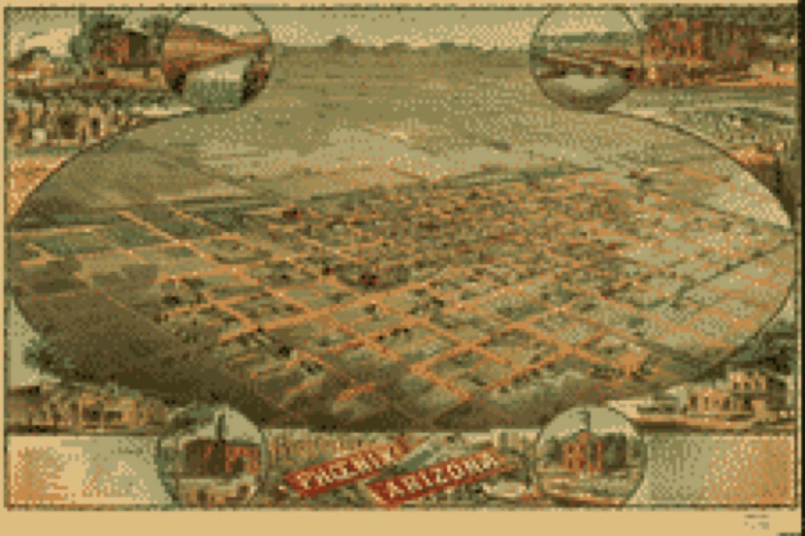
Bird's-eye view, 1885 - Bird's eye view of Phoenix, Maricopa Co., Arizona
Bird's-eye view (1885) - Bird's eye view of Phoenix, Maricopa Co., Arizona. Library of Congress.

Photographs from libraries nationwide

25 of 115 shown

Selected from the Digital Public Library of America's 115 image records catalogued for this county. Every one shown here carries a public-domain status or a licence that permits reuse on a site that carries advertising; non-commercial, share-alike and restricted images are excluded. The selection is spread across the county's towns (at most eight per town), so no single institution's bulk upload crowds out the rest. Each opens the holding library's record, and the complete set at the Digital Public Library of America is one click away.

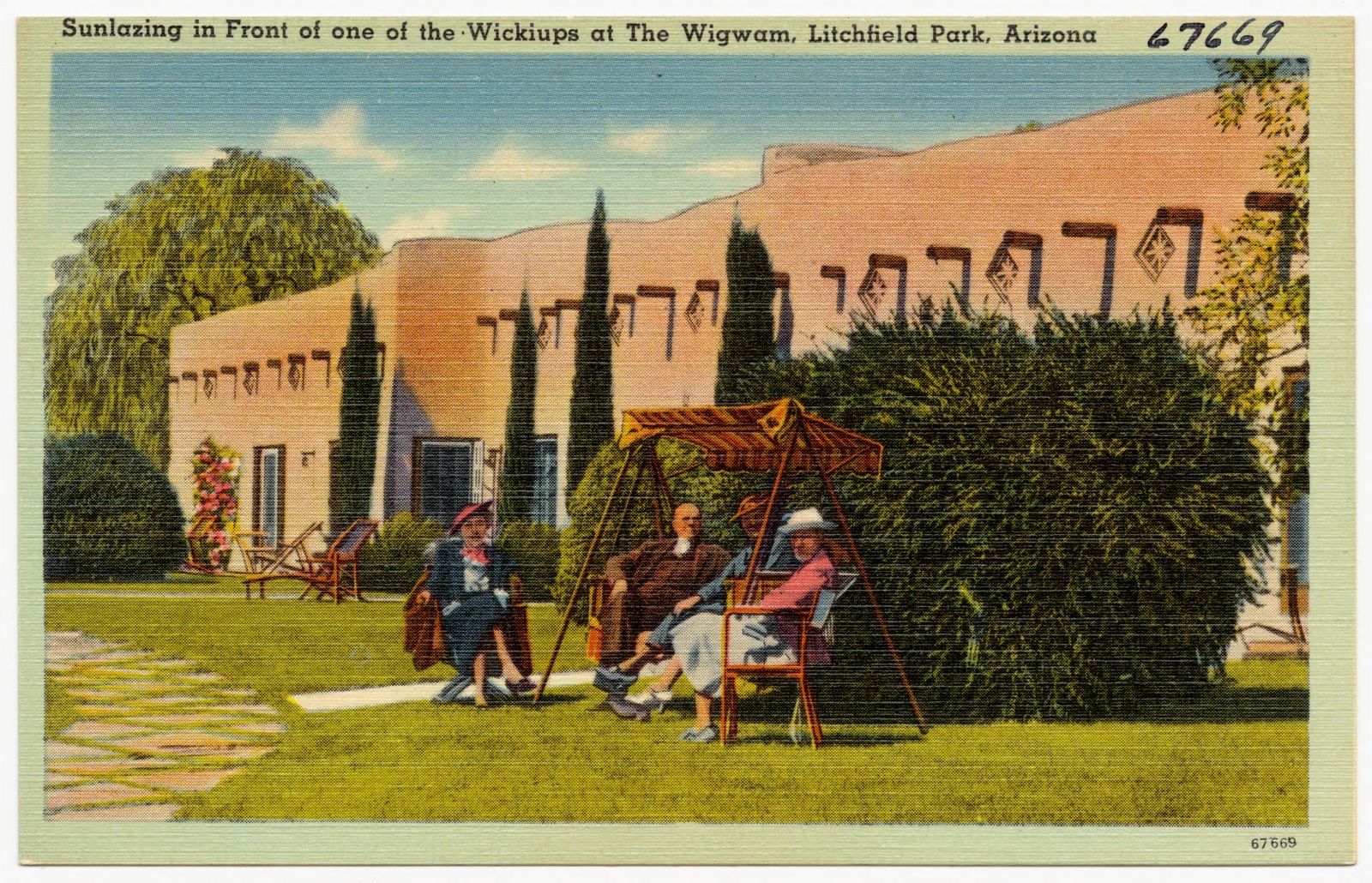
Sunlazing in front of one of the wickiups at The Wigwam, Litchfield Park, Arizona, Boston Public Library - undated
Sunlazing in front of one of the wickiups at The Wigwam, Litchfield Park, Arizona. Boston Public Library, via the Digital Public Library of America.
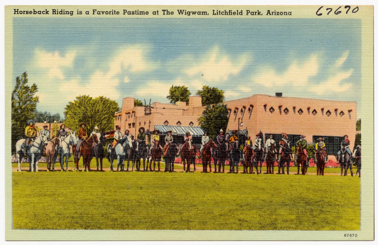
Horseback riding is a favorite pastime at The Wigwam, Litchfield Park, Arizona, Boston Public Library - undated
Horseback riding is a favorite pastime at The Wigwam, Litchfield Park, Arizona. Boston Public Library, via the Digital Public Library of America.
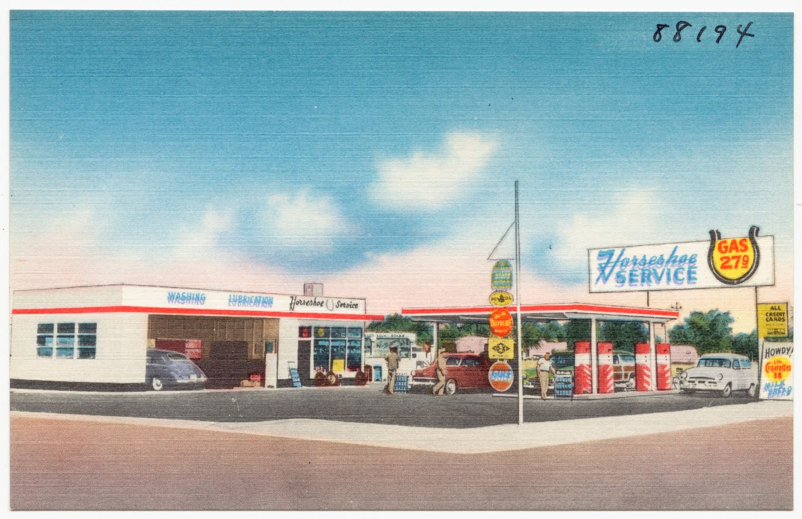
Horseshoe Service, Boston Public Library - undated
Horseshoe Service. Boston Public Library, via the Digital Public Library of America.
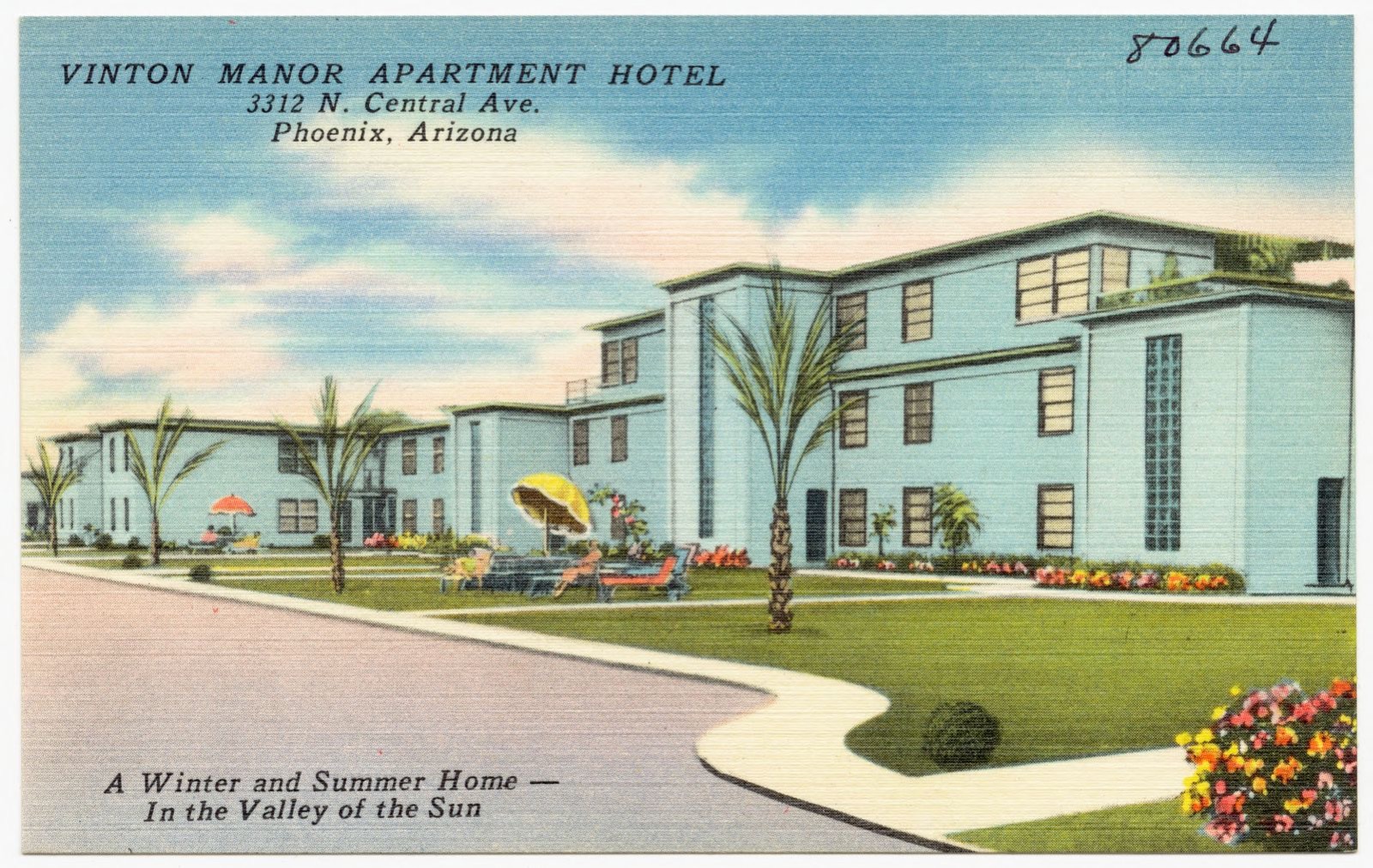
Vinton Manor Apartment Hotel, 3312 N. Central Ave., Phoenix, Arizona. A winter and summer home- in the valley of the sun, Boston Public Library - undated
Vinton Manor Apartment Hotel, 3312 N. Central Ave., Phoenix, Arizona. A winter and summer home- in the valley of the sun. Boston Public Library, via the Digital Public Library of America.
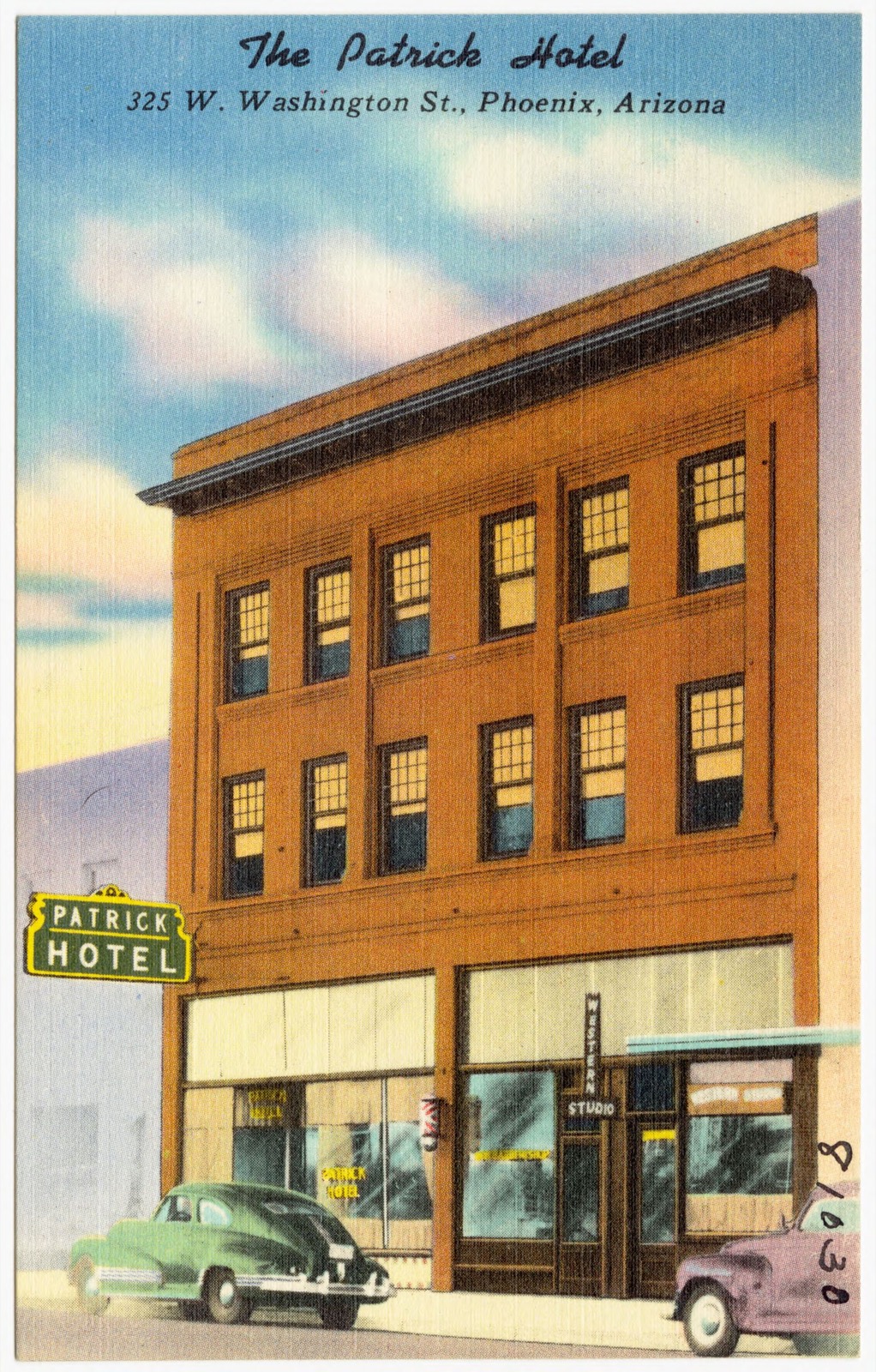
The Patrick Hotel, 325 W. Washington St., Phoenix, Arizona, Boston Public Library - undated
The Patrick Hotel, 325 W. Washington St., Phoenix, Arizona. Boston Public Library, via the Digital Public Library of America.
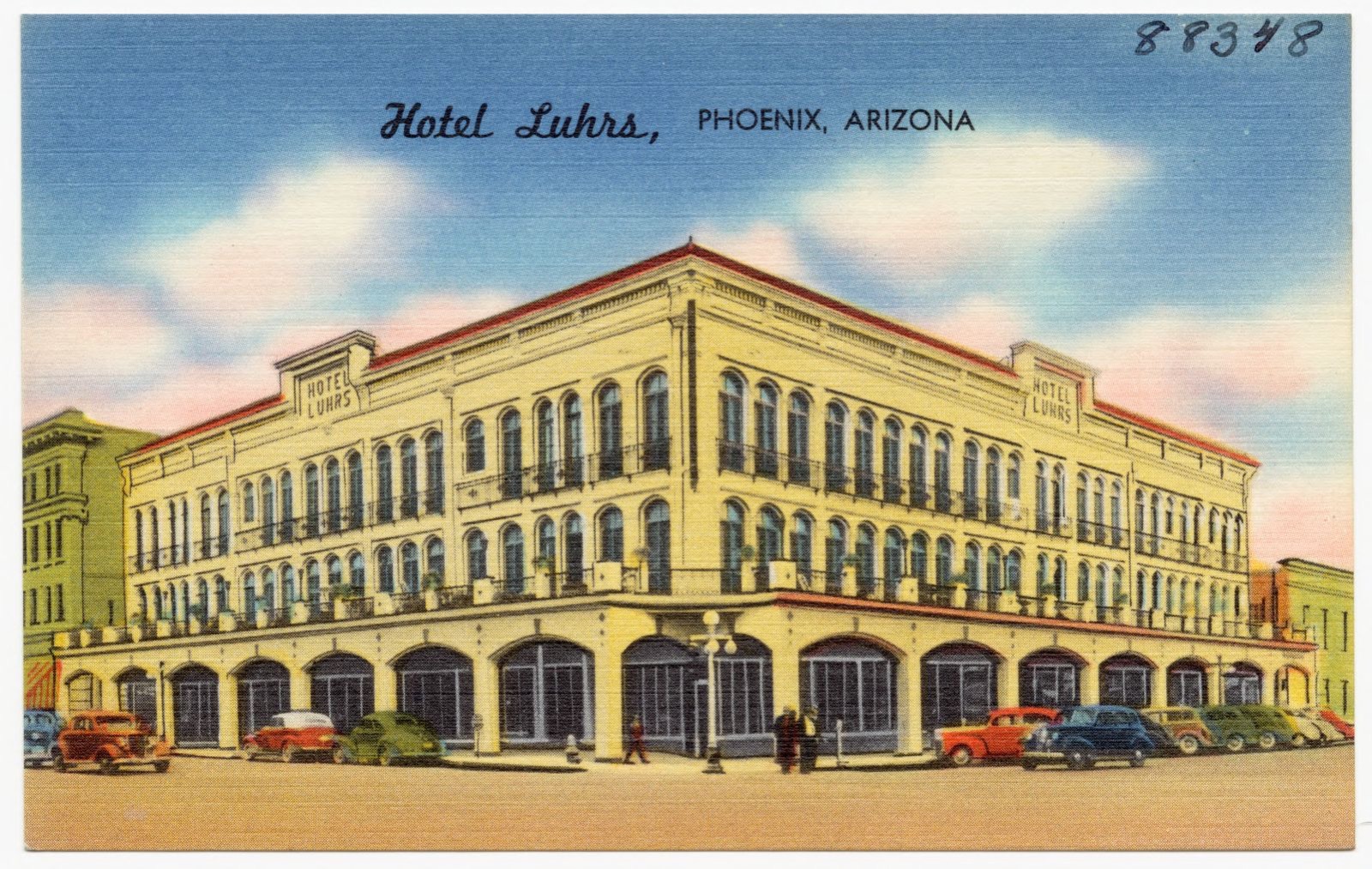
Hotel Luhrs, Phoenix, Arizona, Boston Public Library - undated
Hotel Luhrs, Phoenix, Arizona. Boston Public Library, via the Digital Public Library of America.
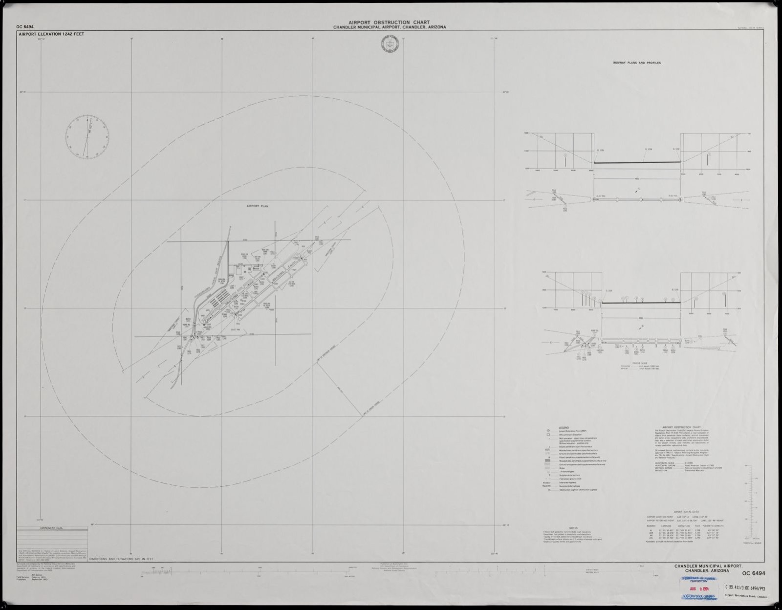
Airport obstruction chart, OC 6494, Chandler Municipal Airport, Chandler, Arizona, Boston Public Library - undated
Airport obstruction chart, OC 6494, Chandler Municipal Airport, Chandler, Arizona. United States. National Ocean Service, Boston Public Library, via the Digital Public Library of America.
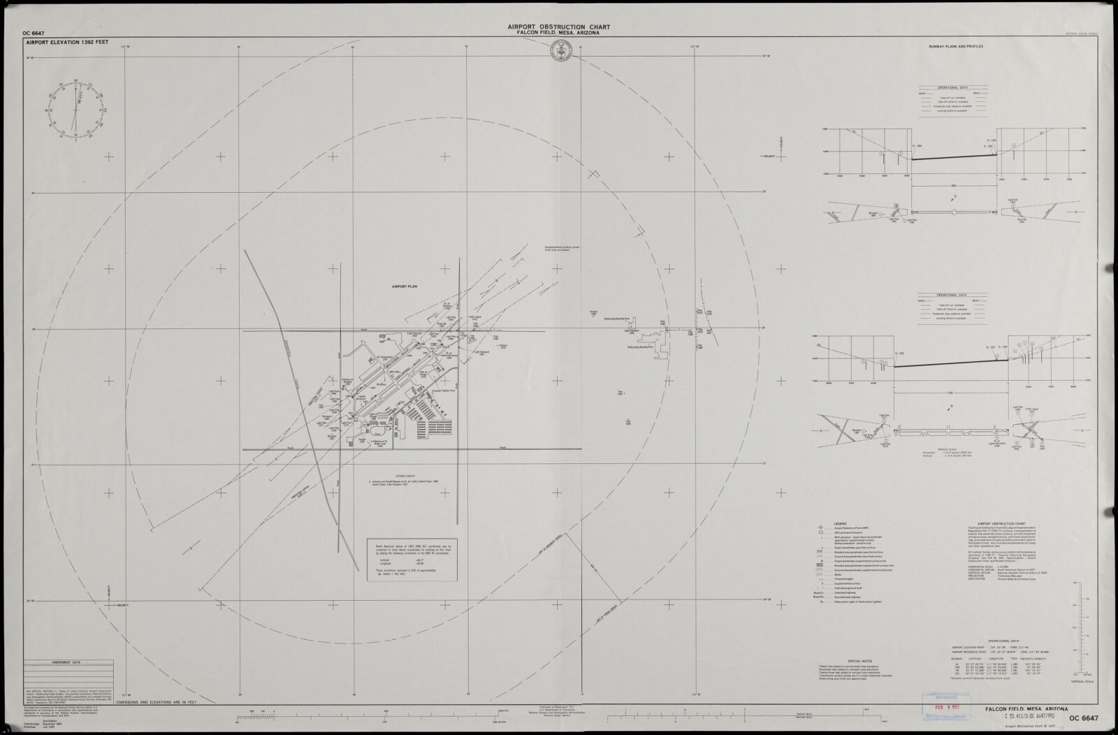
Airport obstruction chart, OC 6647, Falcon Field, Mesa, Arizona, Boston Public Library - undated
Airport obstruction chart, OC 6647, Falcon Field, Mesa, Arizona. National Ocean Survey, Boston Public Library, via the Digital Public Library of America.
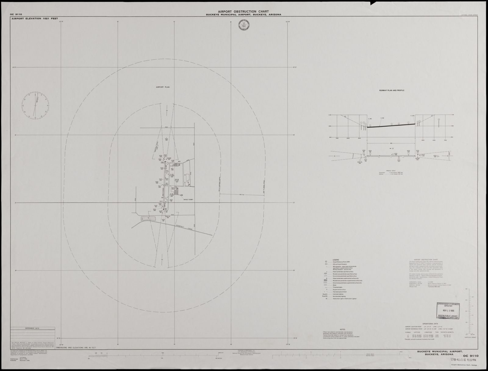
Airport obstruction chart, OC 9110, Buckeye Municipal Airport, Buckeye, Arizona, Boston Public Library - undated
Airport obstruction chart, OC 9110, Buckeye Municipal Airport, Buckeye, Arizona. United States. National Ocean Service, Boston Public Library, via the Digital Public Library of America.
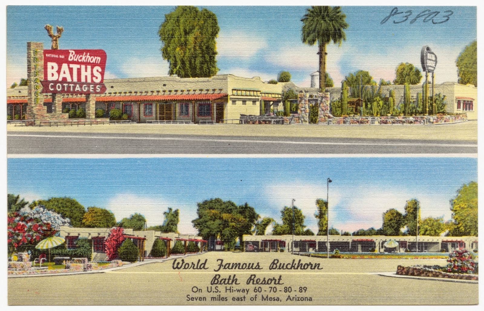
World famous Buckhorn Bath Resort, on U.S. highway 60-70-80-89, seven miles east of Mesa, Arizona, Boston Public Library - undated
World famous Buckhorn Bath Resort, on U.S. highway 60-70-80-89, seven miles east of Mesa, Arizona. Boston Public Library, via the Digital Public Library of America.
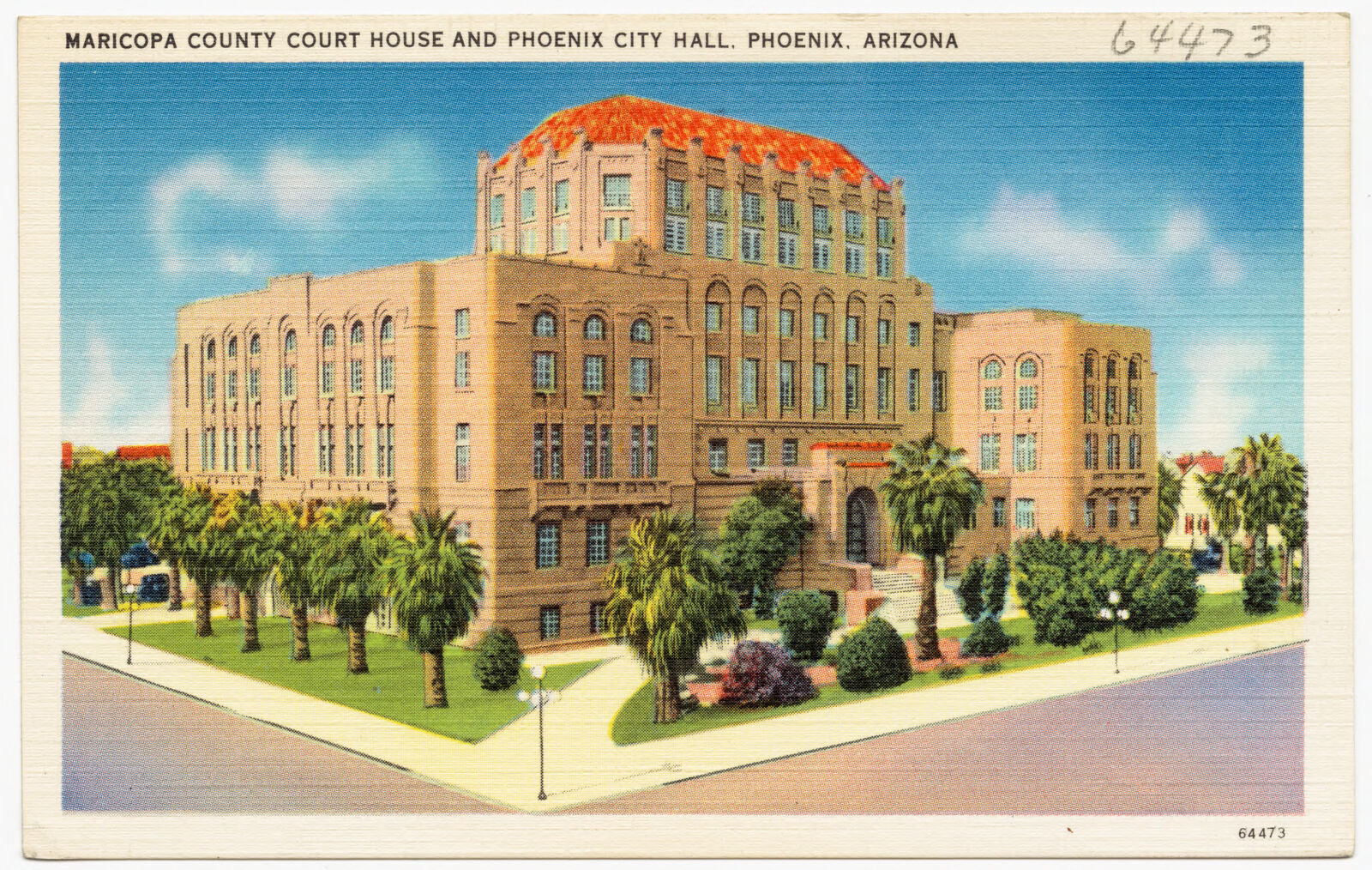
Maricopa County Court House and Phoenix City Hall, Phoenix, Arizona, Boston Public Library - undated
Maricopa County Court House and Phoenix City Hall, Phoenix, Arizona. Boston Public Library, via the Digital Public Library of America.
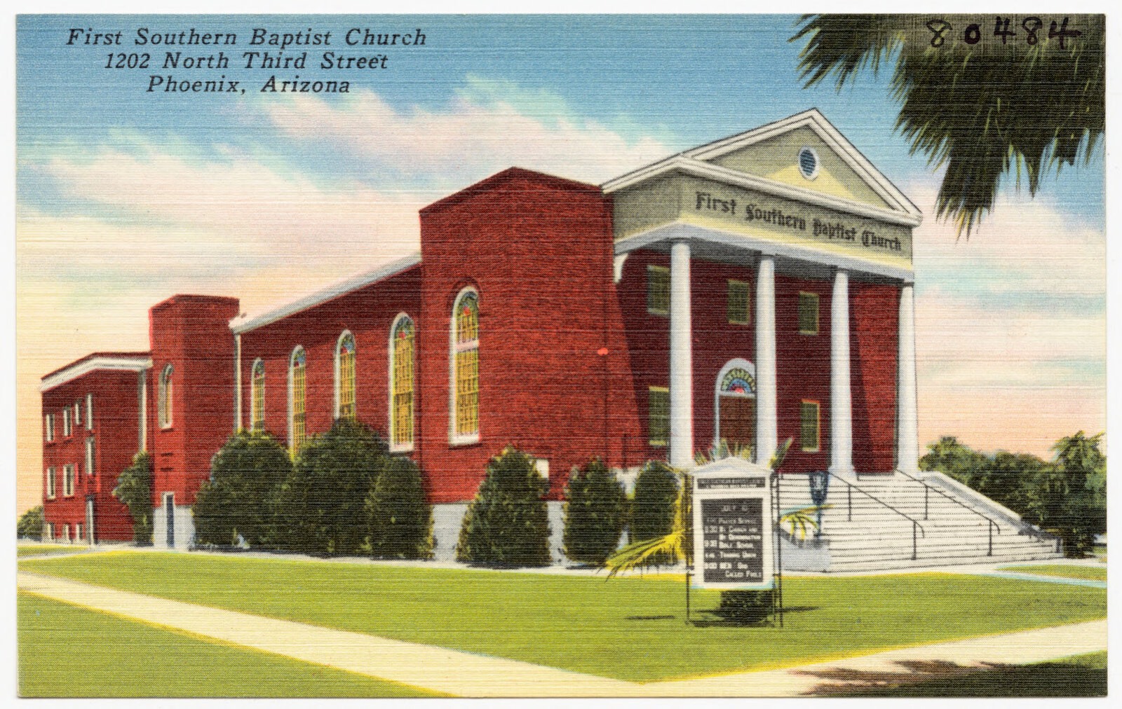
First Southern Baptist Church, 1202 North Third Street, Phoenix, Arizona, Boston Public Library - undated
First Southern Baptist Church, 1202 North Third Street, Phoenix, Arizona. Boston Public Library, via the Digital Public Library of America.
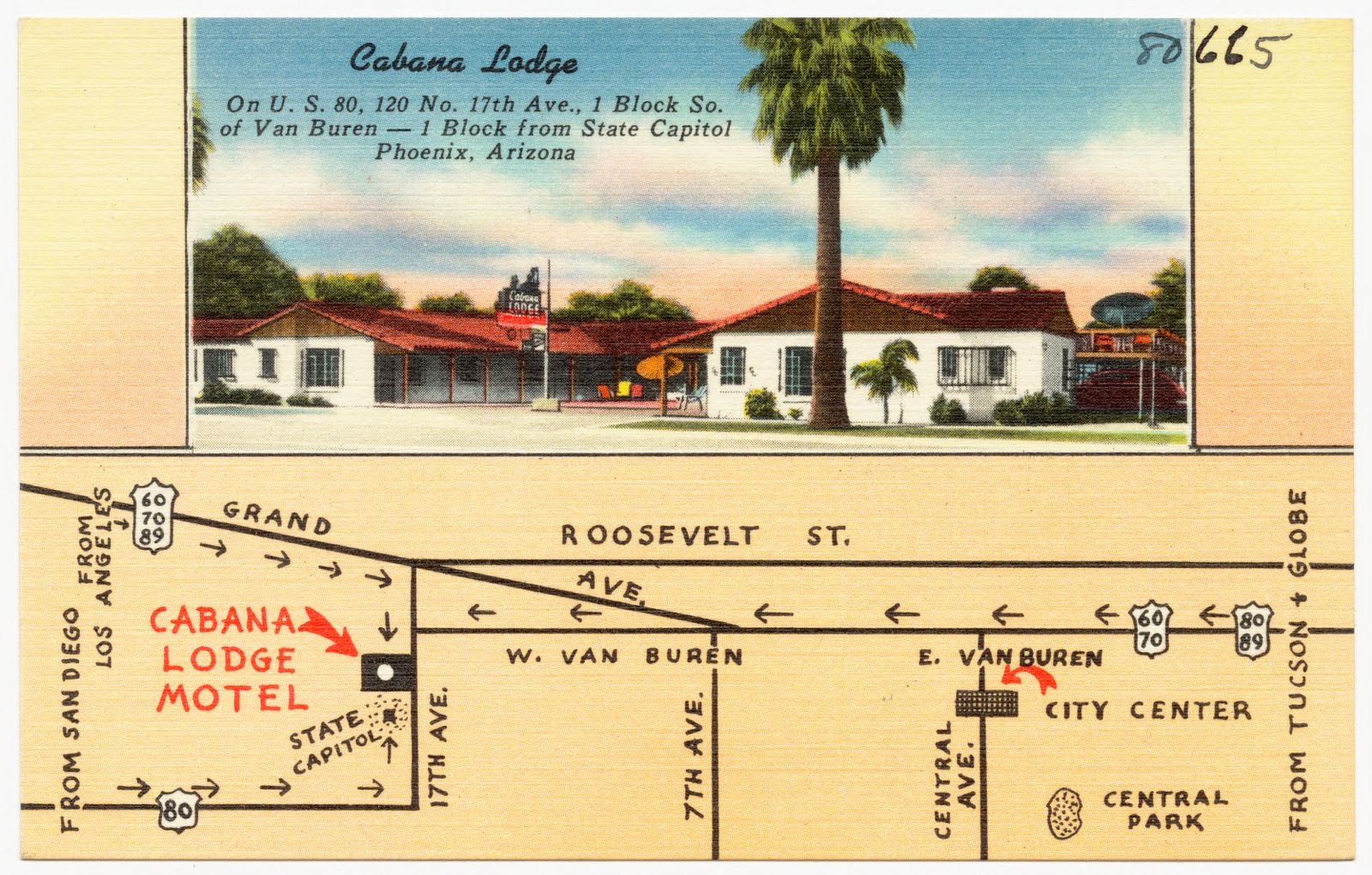
Cabana Lodge, on US 80, 120 No. 117th Ave., 1 block so. Of Van Buren- 1 block from state capitol, Phoenix, Arizona, Boston Public Library - undated
Cabana Lodge, on US 80, 120 No. 117th Ave., 1 block so. Of Van Buren- 1 block from state capitol, Phoenix, Arizona. Boston Public Library, via the Digital Public Library of America.
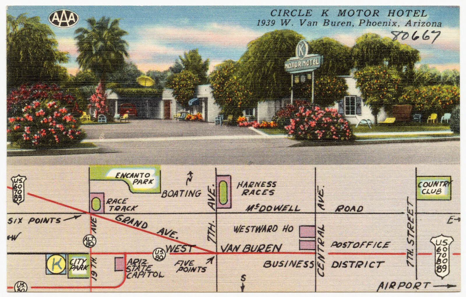
Circle K Motor Hotel, 1939 W. Van Buren, Phoenix, Arizona, Boston Public Library - undated
Circle K Motor Hotel, 1939 W. Van Buren, Phoenix, Arizona. Boston Public Library, via the Digital Public Library of America.
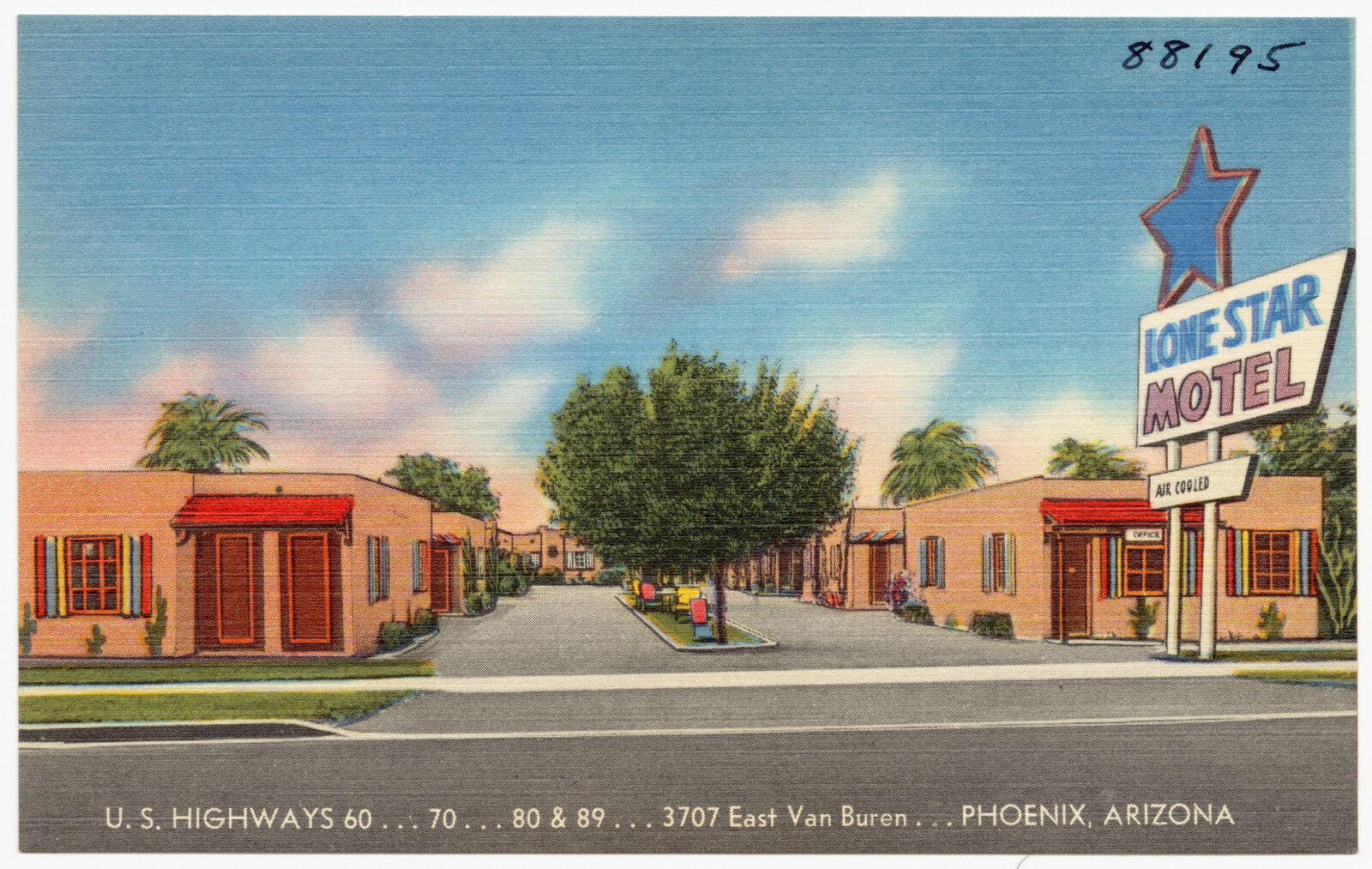
Lone Star Motel, U.S. highways 60, 70, 80 & 89, 3707 East Van Buren, Phoenix, Arizona, Boston Public Library - undated
Lone Star Motel, U.S. highways 60, 70, 80 & 89, 3707 East Van Buren, Phoenix, Arizona. Boston Public Library, via the Digital Public Library of America.
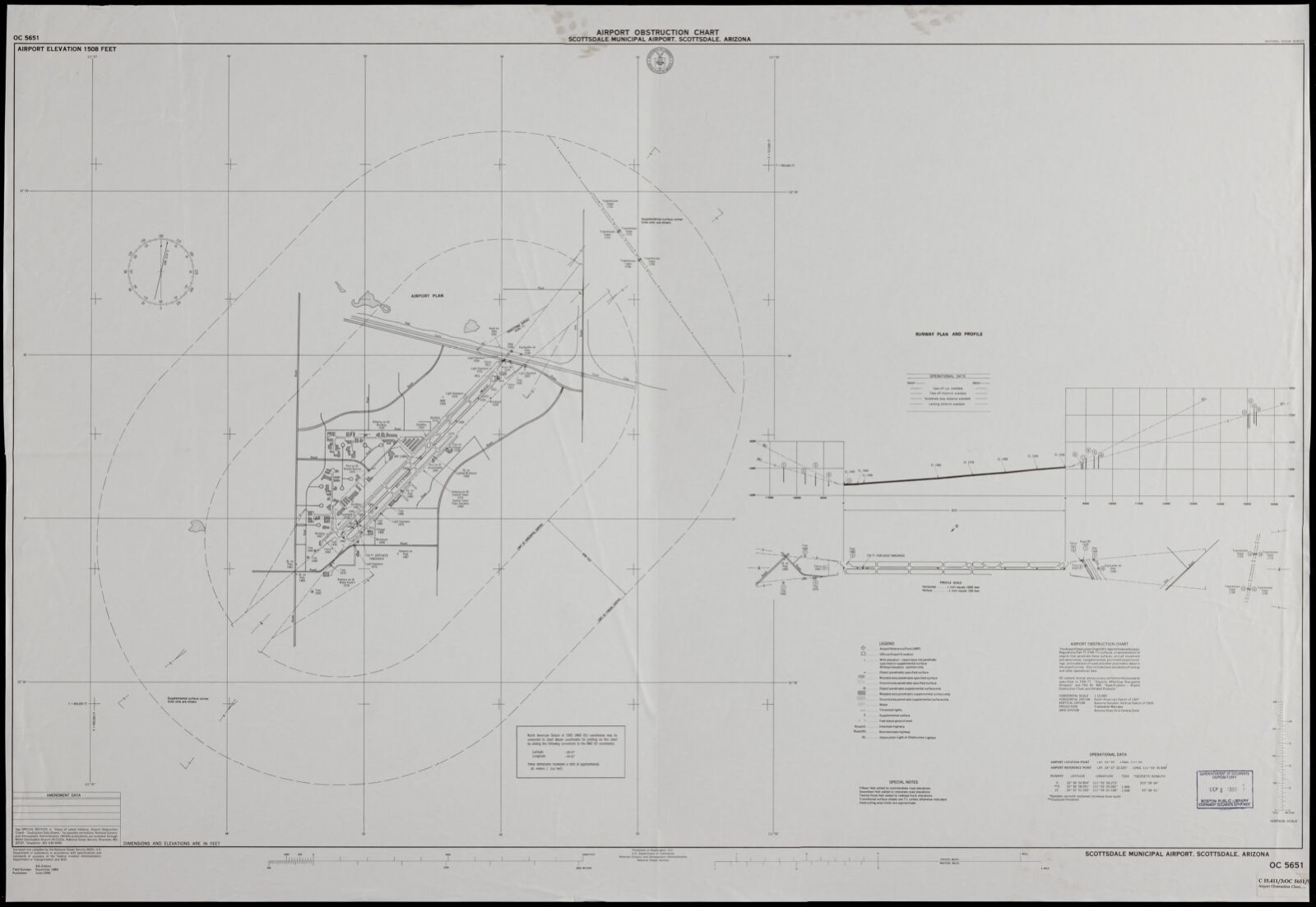
Airport obstruction chart, OC 5651, Scottsdale Municipal Airport, Scottsdale, Arizona, Boston Public Library - undated
Airport obstruction chart, OC 5651, Scottsdale Municipal Airport, Scottsdale, Arizona. United States. National Ocean Service, Boston Public Library, via the Digital Public Library of America.
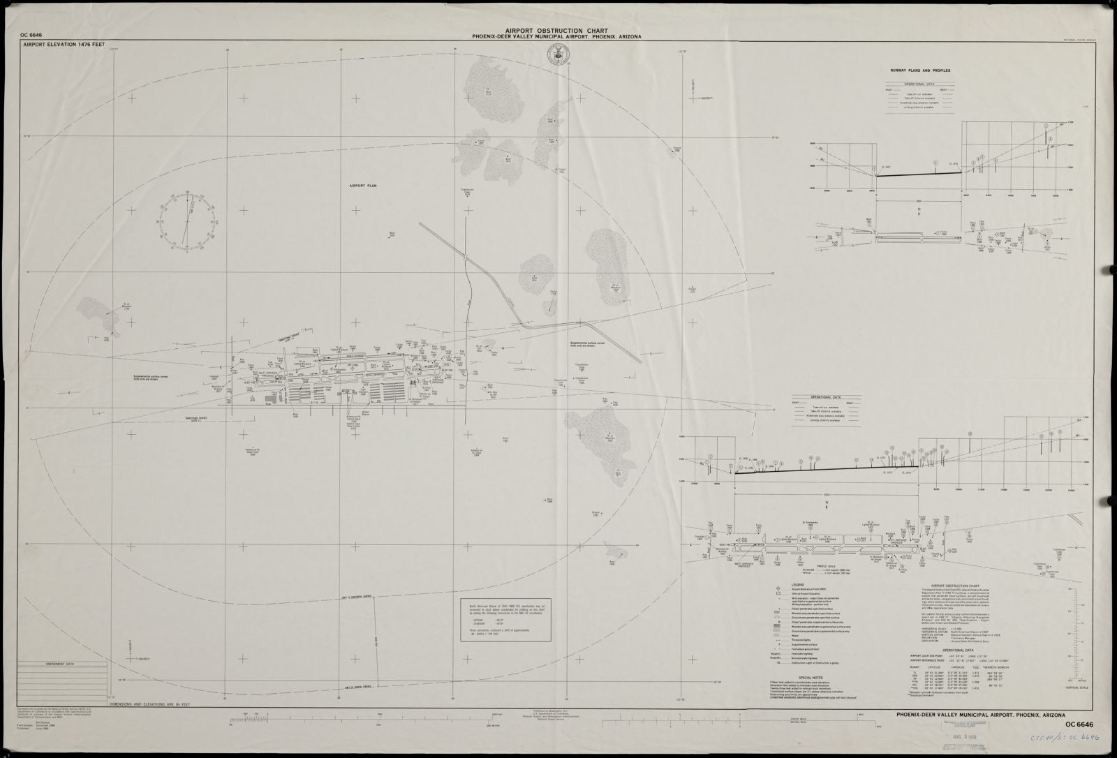
Airport obstruction chart, OC 6646, Phoenix-Deer Valley Municipal Airport, Phoenix, Arizona, Boston Public Library - undated
Airport obstruction chart, OC 6646, Phoenix-Deer Valley Municipal Airport, Phoenix, Arizona. United States. National Ocean Service, Boston Public Library, via the Digital Public Library of America.
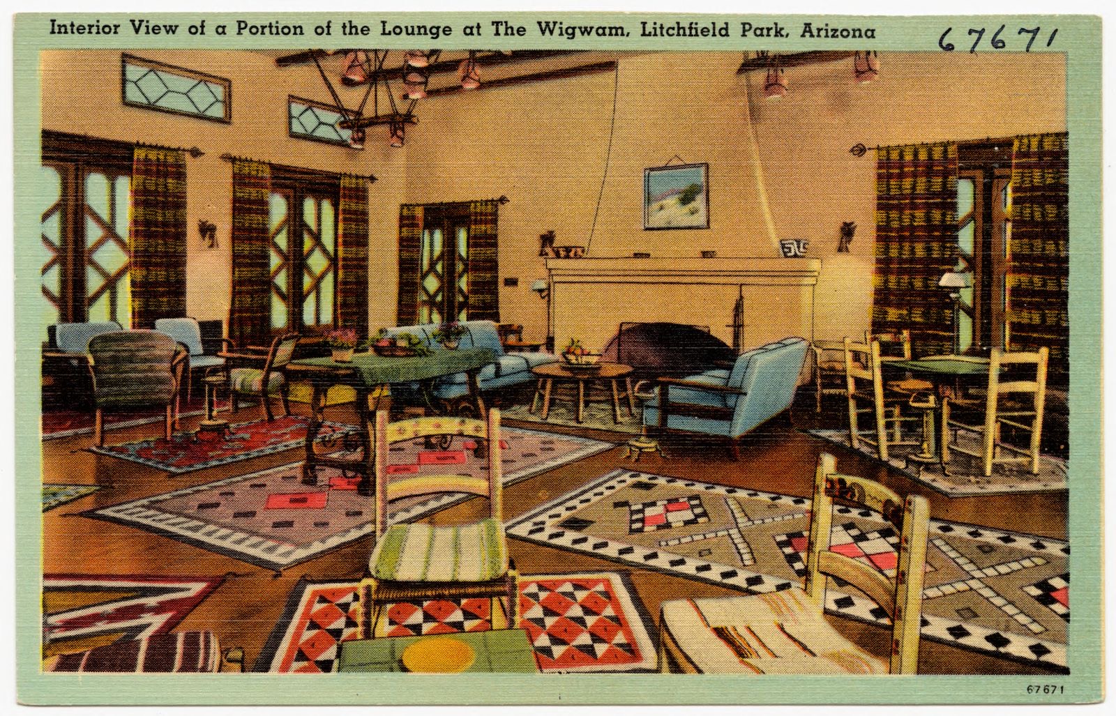
Interior view of a portion of the lounge at The Wigwam, Litchfield Park, Arizona, Boston Public Library - undated
Interior view of a portion of the lounge at The Wigwam, Litchfield Park, Arizona. Boston Public Library, via the Digital Public Library of America.
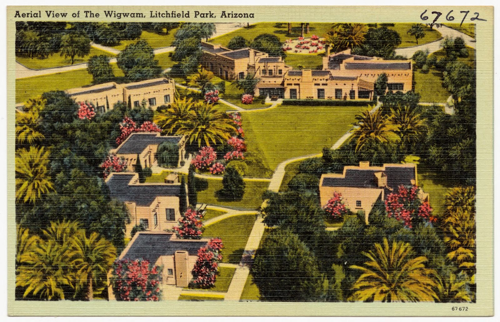
Aerial view of The Wigwam, Litchfield Park, Arizona, Boston Public Library - undated
Aerial view of The Wigwam, Litchfield Park, Arizona. Boston Public Library, via the Digital Public Library of America.
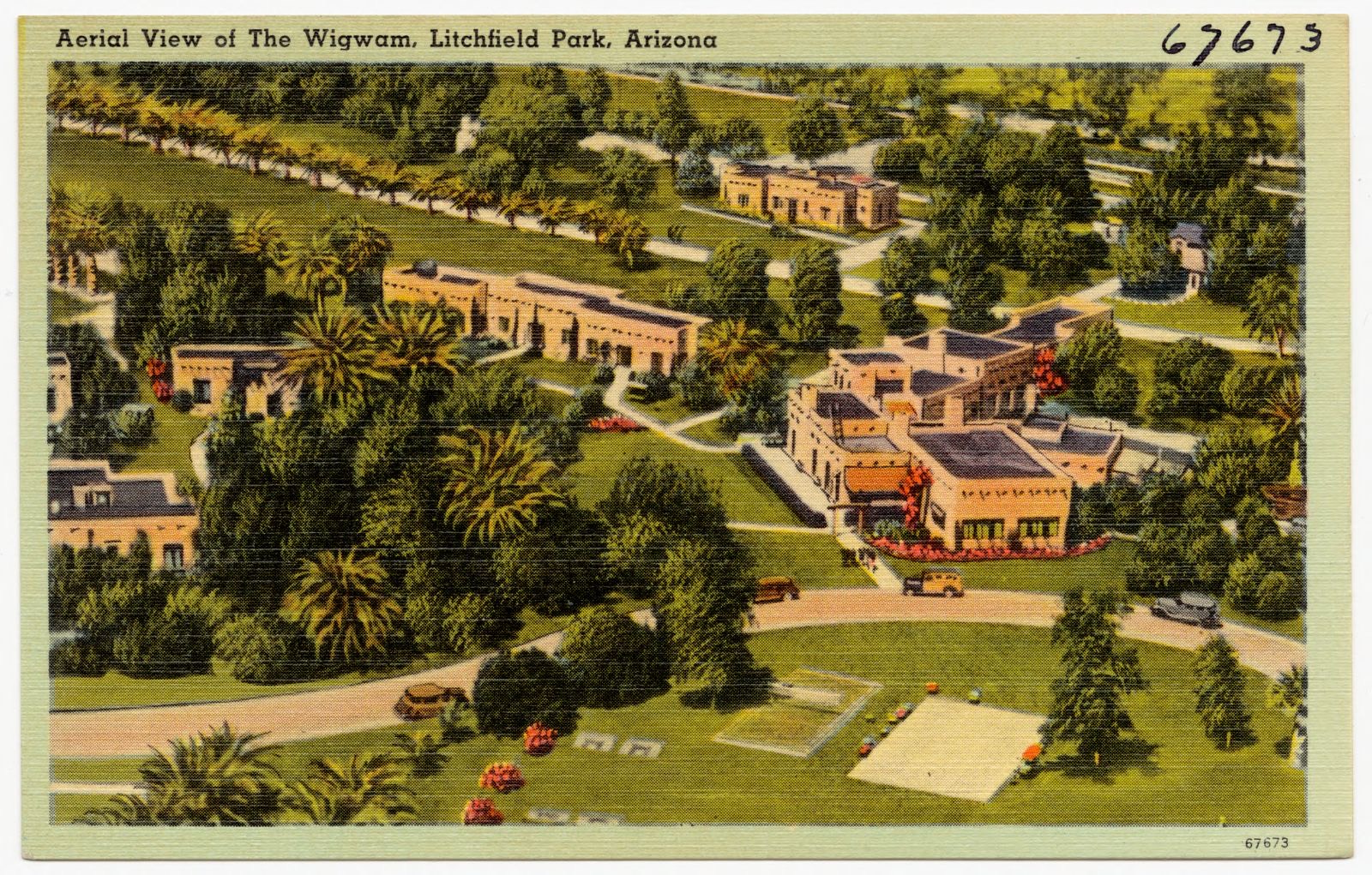
Aerial view of The Wigwam, Litchfield Park, Arizona, Boston Public Library - undated
Aerial view of The Wigwam, Litchfield Park, Arizona. Boston Public Library, via the Digital Public Library of America.
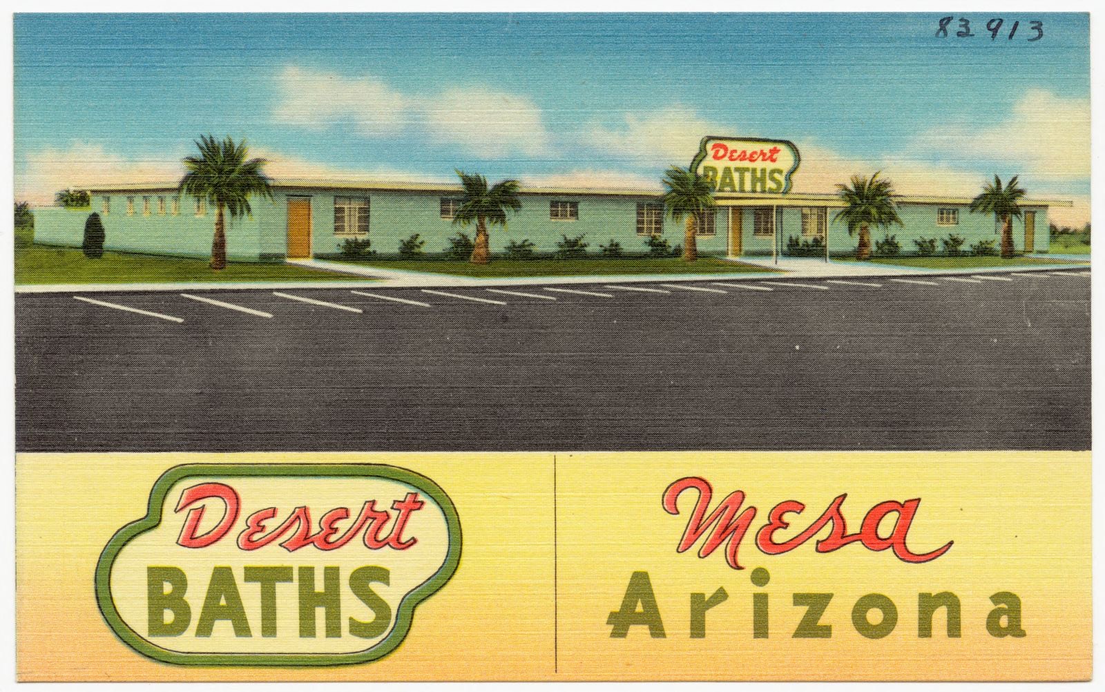
Desert Baths, Mesa, Arizona, Boston Public Library - undated
Desert Baths, Mesa, Arizona. Boston Public Library, via the Digital Public Library of America.
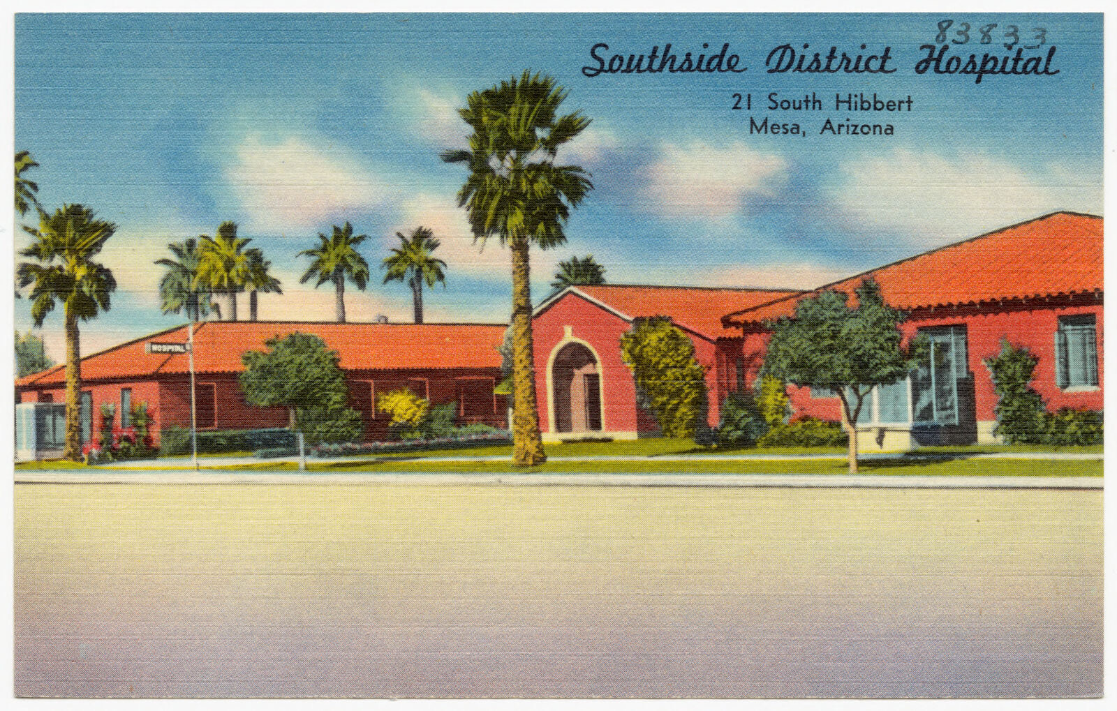
Southside District Hospital, 21 South Hibbert, Mea, Arizona, Boston Public Library - undated
Southside District Hospital, 21 South Hibbert, Mea, Arizona. Boston Public Library, via the Digital Public Library of America.
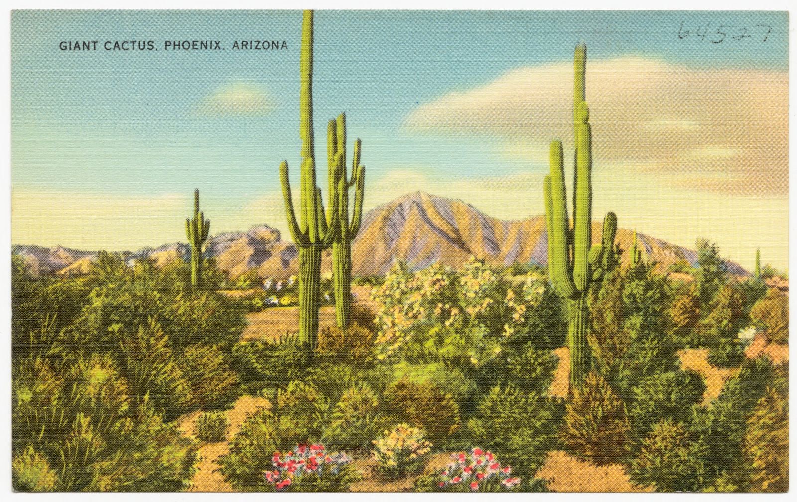
Giant cactus, Phoenix, Arizona, Boston Public Library - undated
Giant cactus, Phoenix, Arizona. Boston Public Library, via the Digital Public Library of America.
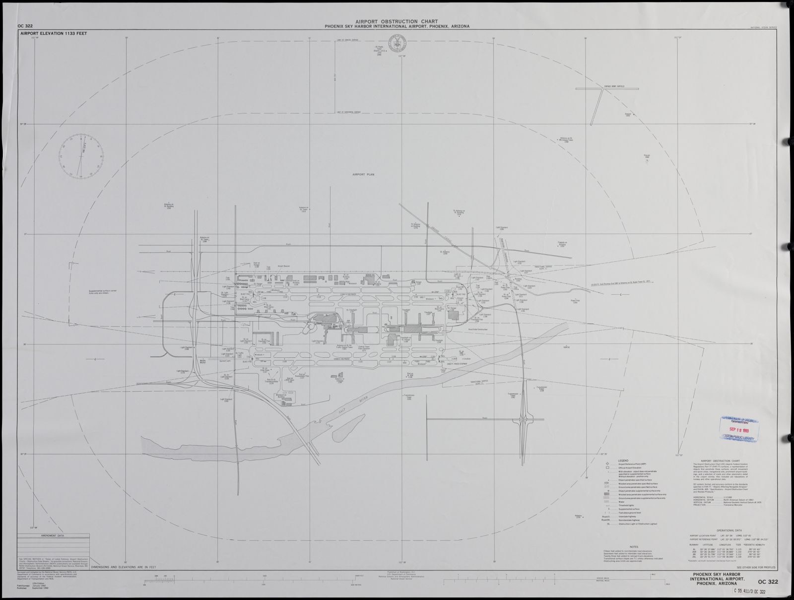
Airport obstruction chart OC 322, Phoenix Sky Harbor International Airport, Phoenix, Arizona, Boston Public Library - undated
Airport obstruction chart OC 322, Phoenix Sky Harbor International Airport, Phoenix, Arizona. United States. National Ocean Service, Boston Public Library, via the Digital Public Library of America.
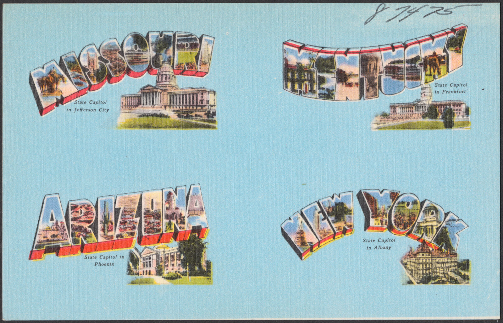
Missouri. Kentucky. Arizona. New York, Boston Public Library - undated
Missouri. Kentucky. Arizona. New York. Boston Public Library, via the Digital Public Library of America.

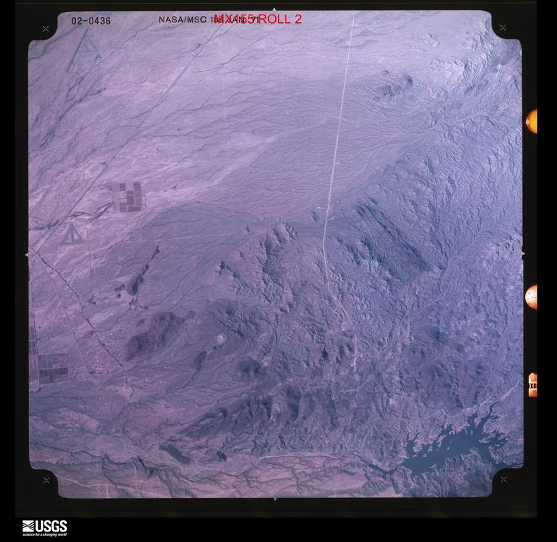
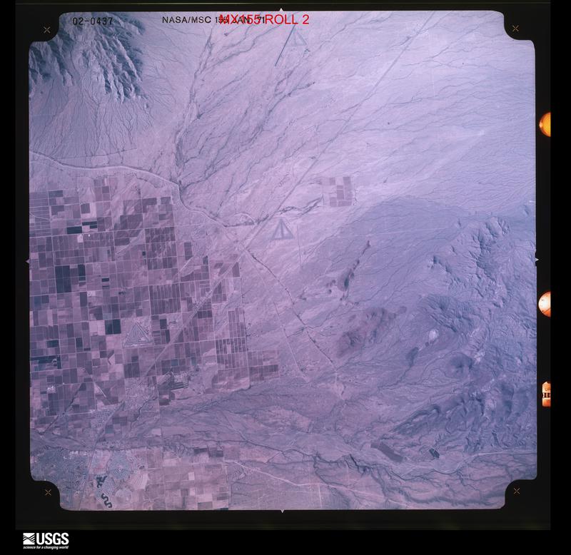
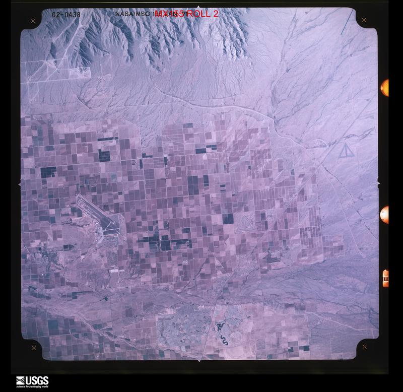
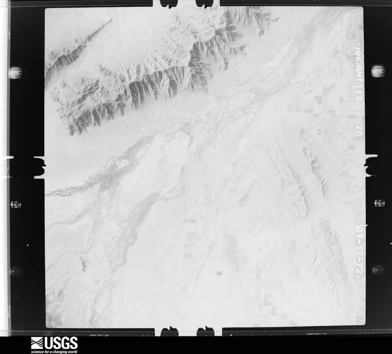
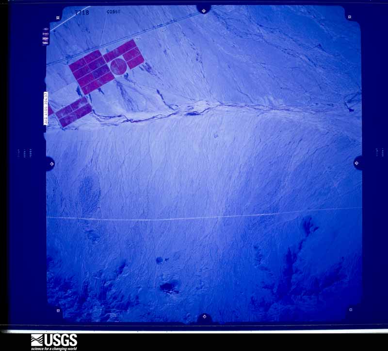
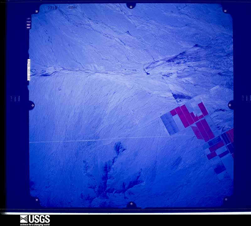
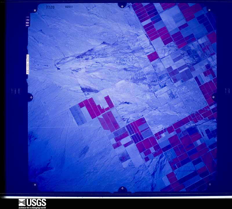
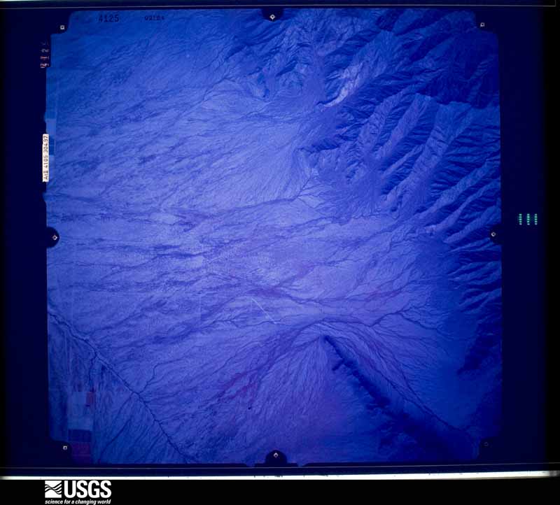
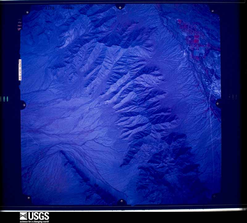
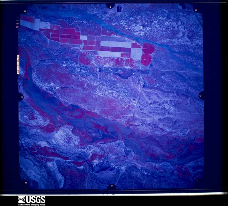
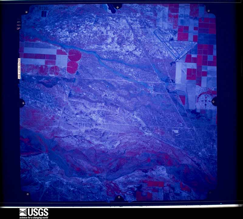
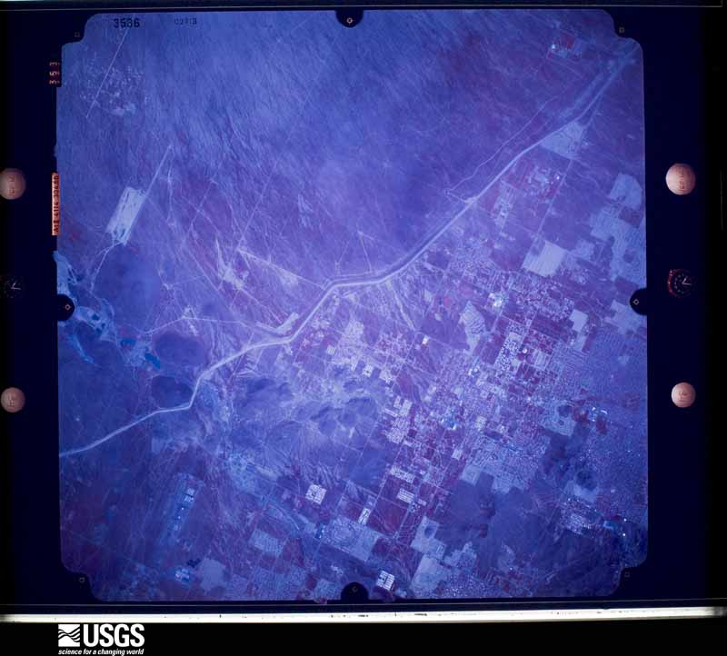
The county from the air

48 shown

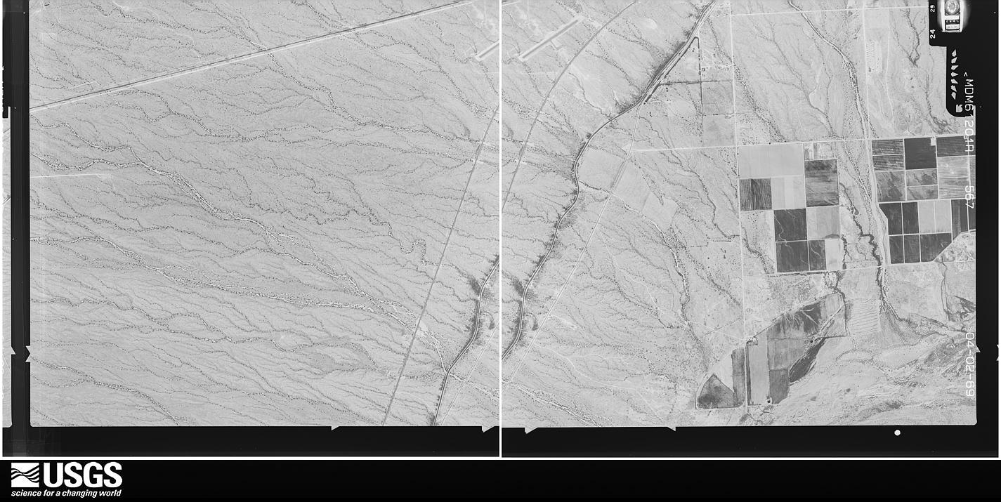
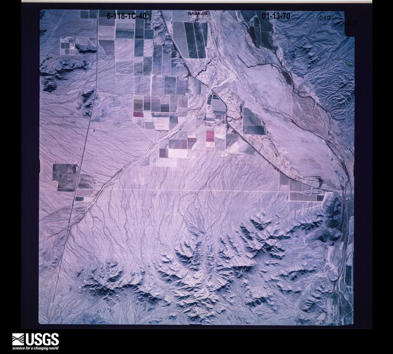
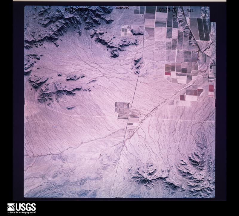
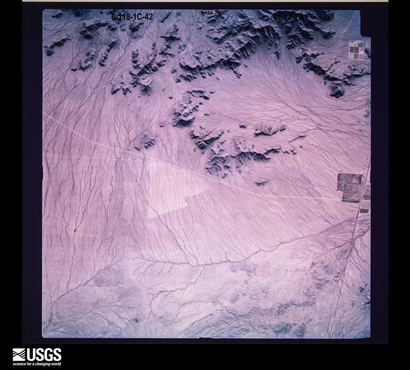
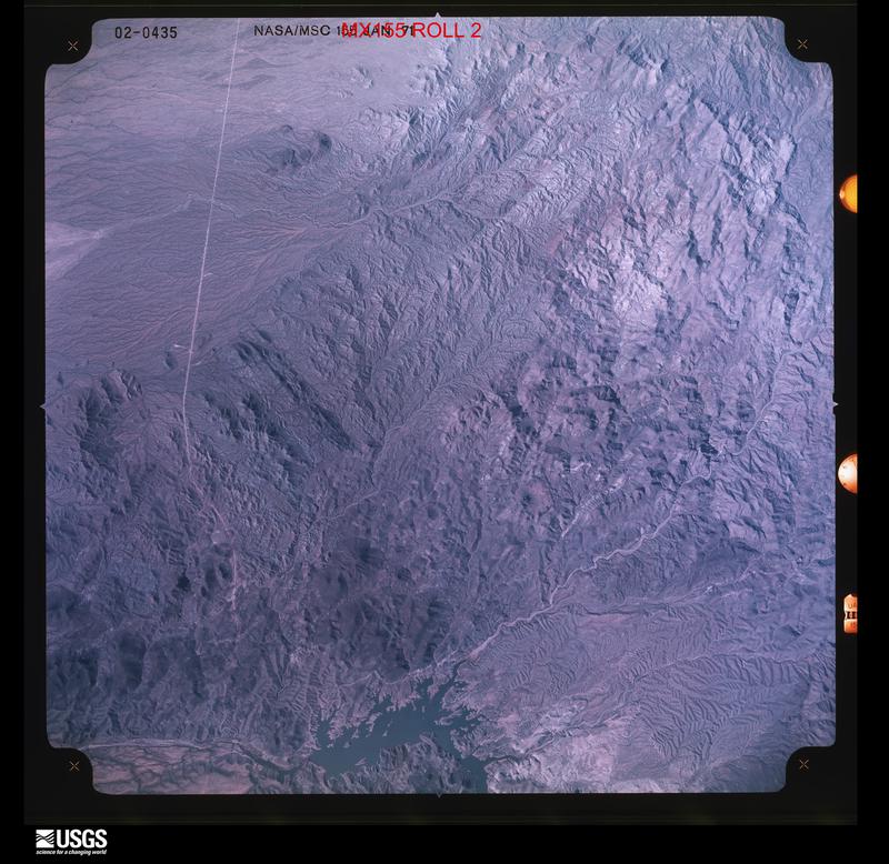
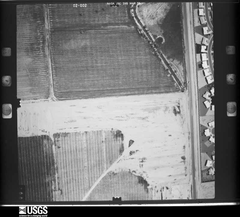
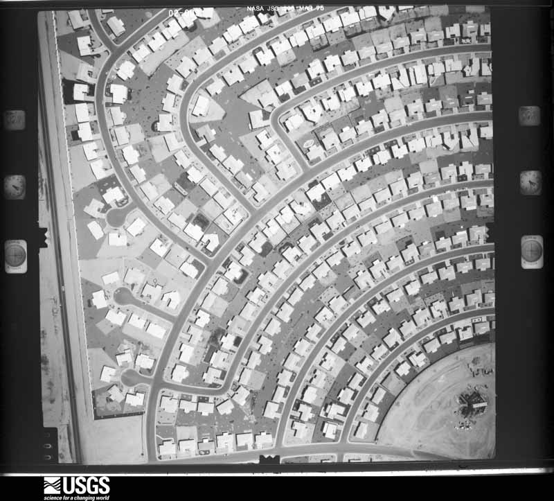
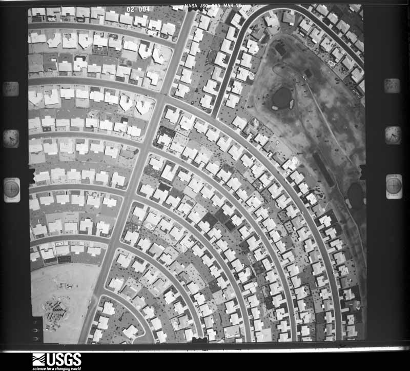
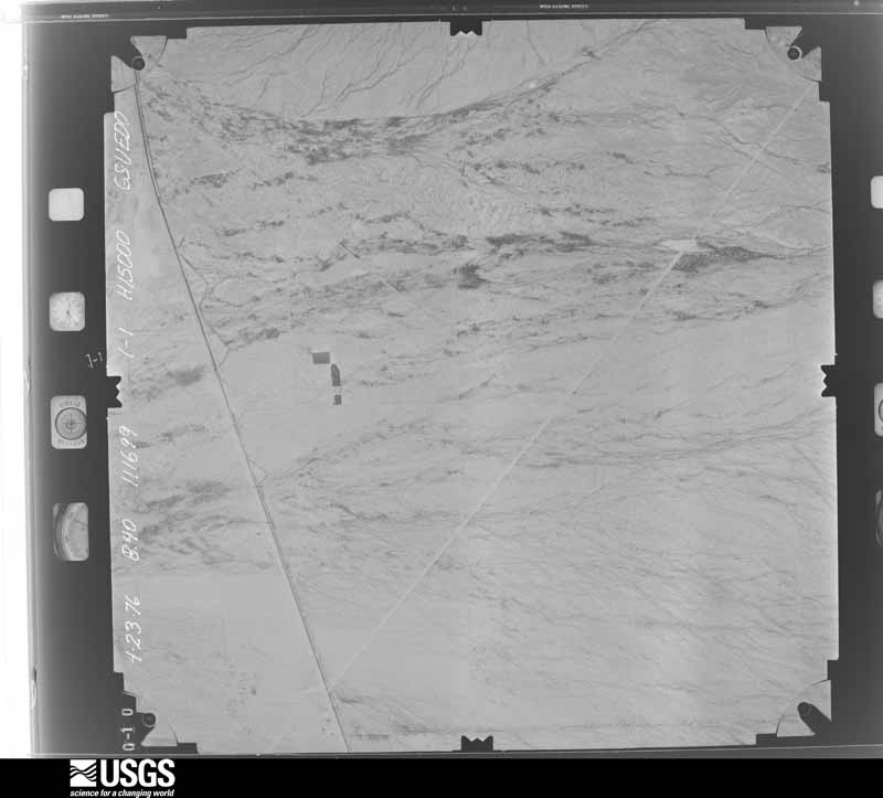
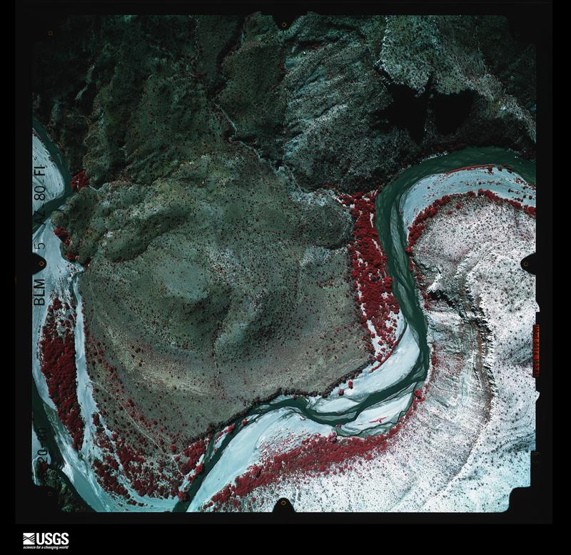
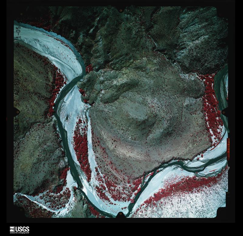
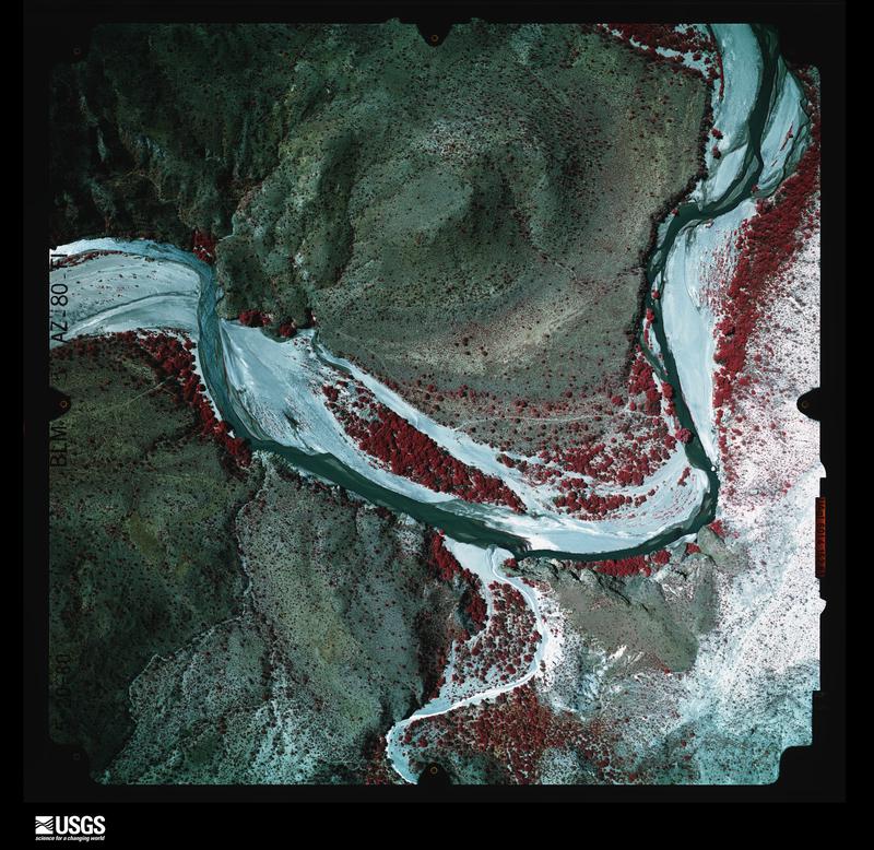
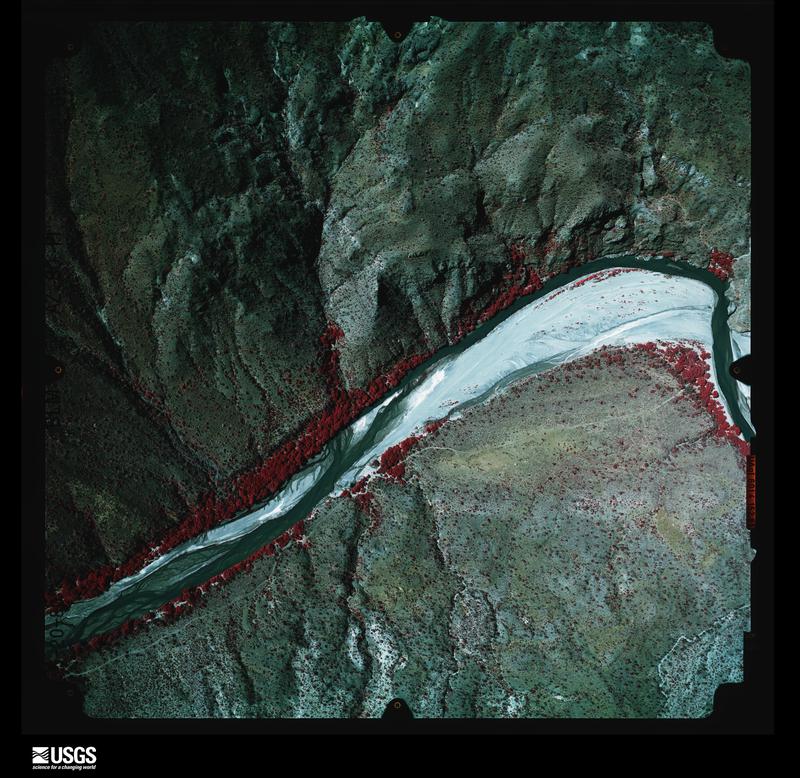
Flown by the U.S. Geological Survey between 1937 and 1989, the Aerial Photo Single Frames collection is the definitive mid-century view of the land: fields, roads and rivers as the camera saw them. The Survey holds 31,890 frames inside the rectangle that bounds this county; the 48 frames below were taken over the county itself, chosen across the decades of flights (at most four a year from that rectangle), so one flight cannot crowd out the rest. The full set is free to browse and download at EarthExplorer under the dataset Aerial Photo Single Frames.

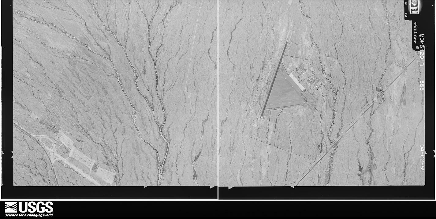
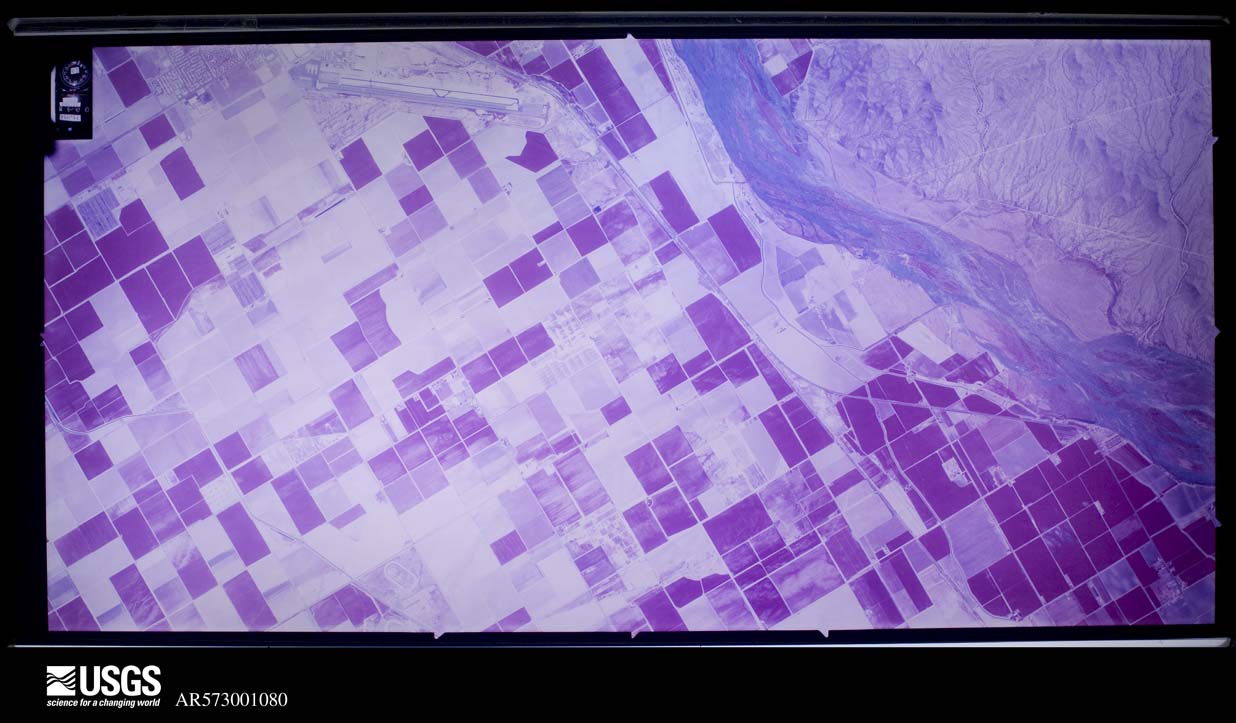
U.S. Geological Survey aerial photograph, 1969-04-02, scale 1:21670
1969-04-02, scale 1:21670. U.S. Geological Survey aerial photograph.
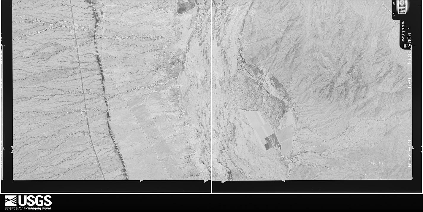
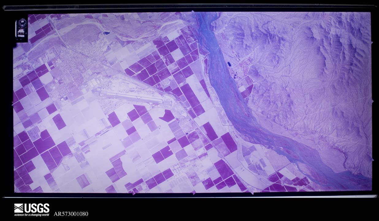
U.S. Geological Survey aerial photograph, 1969-04-02, scale 1:21670
1969-04-02, scale 1:21670. U.S. Geological Survey aerial photograph.
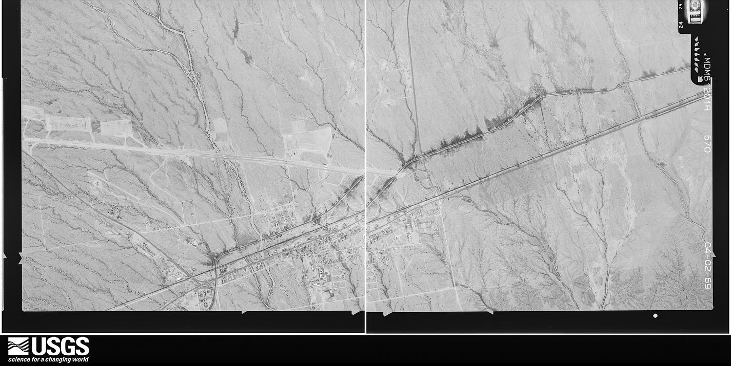
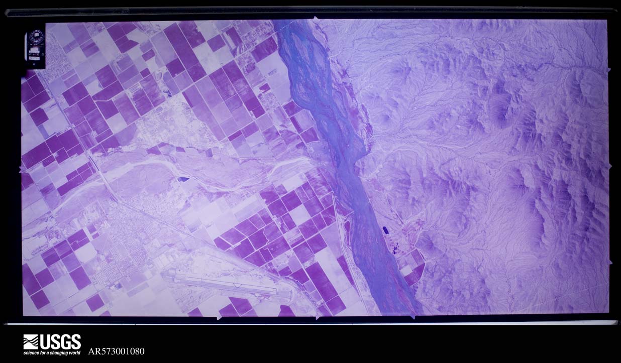
U.S. Geological Survey aerial photograph, 1969-04-02, scale 1:21670
1969-04-02, scale 1:21670. U.S. Geological Survey aerial photograph.
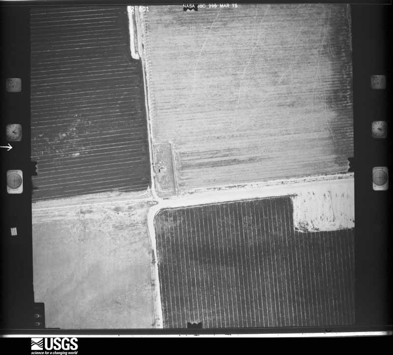
U.S. Geological Survey aerial photograph, 1969-04-02, scale 1:21670
1969-04-02, scale 1:21670. U.S. Geological Survey aerial photograph.
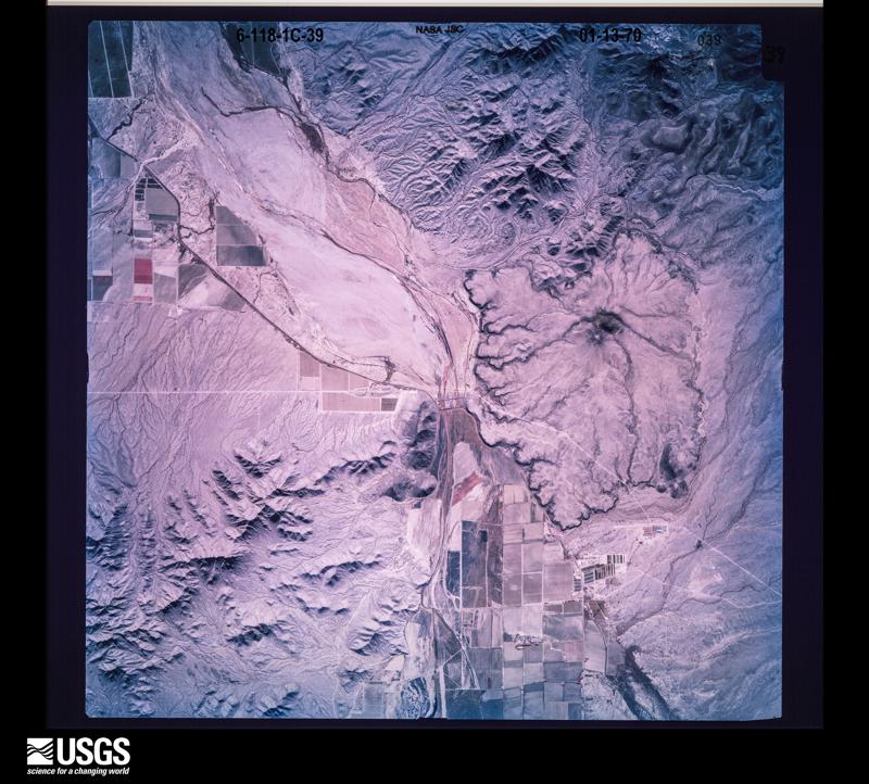
U.S. Geological Survey aerial photograph, 1970-01-13, scale 1:63002
1970-01-13, scale 1:63002. U.S. Geological Survey aerial photograph.
U.S. Geological Survey aerial photograph, 1970-01-13, scale 1:63002
1970-01-13, scale 1:63002. U.S. Geological Survey aerial photograph.
U.S. Geological Survey aerial photograph, 1970-01-13, scale 1:63552
1970-01-13, scale 1:63552. U.S. Geological Survey aerial photograph.
U.S. Geological Survey aerial photograph, 1970-01-13, scale 1:63552
1970-01-13, scale 1:63552. U.S. Geological Survey aerial photograph.
U.S. Geological Survey aerial photograph, 1971-01-18, scale 1:114932
1971-01-18, scale 1:114932. U.S. Geological Survey aerial photograph.
U.S. Geological Survey aerial photograph, 1971-01-18, scale 1:115414
1971-01-18, scale 1:115414. U.S. Geological Survey aerial photograph.
U.S. Geological Survey aerial photograph, 1971-01-18, scale 1:115414
1971-01-18, scale 1:115414. U.S. Geological Survey aerial photograph.
U.S. Geological Survey aerial photograph, 1971-01-18, scale 1:115414
1971-01-18, scale 1:115414. U.S. Geological Survey aerial photograph.
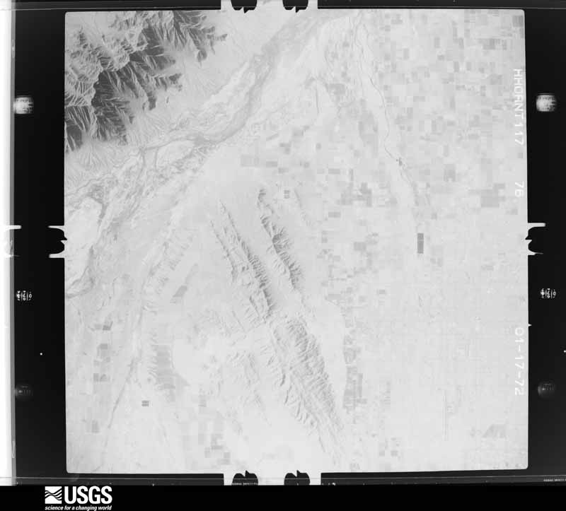
U.S. Geological Survey aerial photograph, 1972-01-17, scale 1:121500
1972-01-17, scale 1:121500. U.S. Geological Survey aerial photograph.
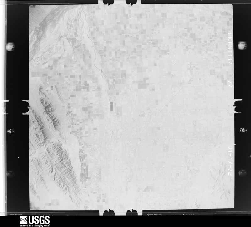
U.S. Geological Survey aerial photograph, 1972-01-17, scale 1:121500
1972-01-17, scale 1:121500. U.S. Geological Survey aerial photograph.
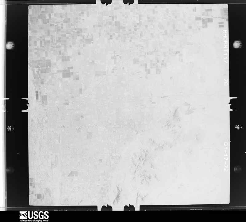
U.S. Geological Survey aerial photograph, 1972-01-17, scale 1:121500
1972-01-17, scale 1:121500. U.S. Geological Survey aerial photograph.
U.S. Geological Survey aerial photograph, 1972-01-17, scale 1:121500
1972-01-17, scale 1:121500. U.S. Geological Survey aerial photograph.
U.S. Geological Survey aerial photograph, 1973-04-06, scale 1:33000
1973-04-06, scale 1:33000. U.S. Geological Survey aerial photograph.
U.S. Geological Survey aerial photograph, 1973-04-06, scale 1:33000
1973-04-06, scale 1:33000. U.S. Geological Survey aerial photograph.
U.S. Geological Survey aerial photograph, 1973-04-06, scale 1:33000
1973-04-06, scale 1:33000. U.S. Geological Survey aerial photograph.
U.S. Geological Survey aerial photograph, 1973-04-06, scale 1:33000
1973-04-06, scale 1:33000. U.S. Geological Survey aerial photograph.
U.S. Geological Survey aerial photograph, 1975-03-18, scale 1:3000
1975-03-18, scale 1:3000. U.S. Geological Survey aerial photograph.
U.S. Geological Survey aerial photograph, 1975-03-18, scale 1:3000
1975-03-18, scale 1:3000. U.S. Geological Survey aerial photograph.
U.S. Geological Survey aerial photograph, 1975-03-18, scale 1:3000
1975-03-18, scale 1:3000. U.S. Geological Survey aerial photograph.
U.S. Geological Survey aerial photograph, 1975-03-18, scale 1:3000
1975-03-18, scale 1:3000. U.S. Geological Survey aerial photograph.
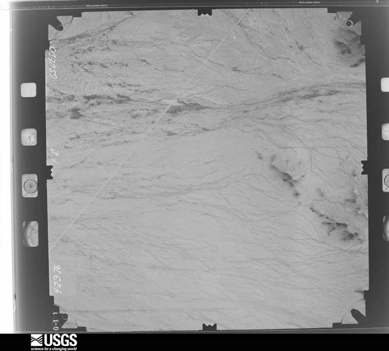
U.S. Geological Survey aerial photograph, 1976-04-01, scale 1:30000
1976-04-01, scale 1:30000. U.S. Geological Survey aerial photograph.
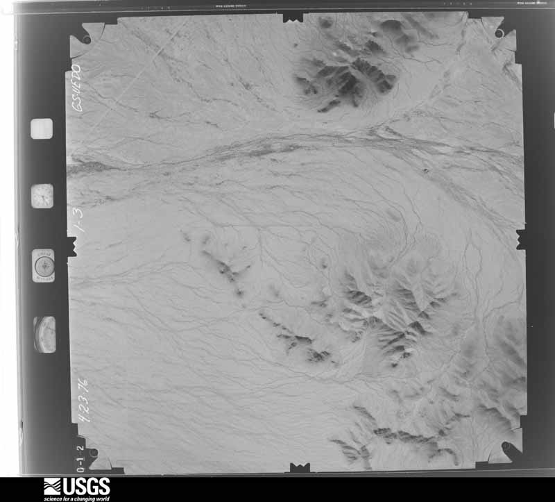
U.S. Geological Survey aerial photograph, 1976-04-01, scale 1:30000
1976-04-01, scale 1:30000. U.S. Geological Survey aerial photograph.
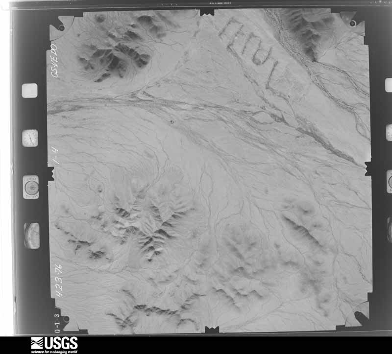
U.S. Geological Survey aerial photograph, 1976-04-01, scale 1:30000
1976-04-01, scale 1:30000. U.S. Geological Survey aerial photograph.
U.S. Geological Survey aerial photograph, 1976-04-01, scale 1:30000
1976-04-01, scale 1:30000. U.S. Geological Survey aerial photograph.
U.S. Geological Survey aerial photograph, 1977-10-14, scale 1:64000
1977-10-14, scale 1:64000. U.S. Geological Survey aerial photograph.
U.S. Geological Survey aerial photograph, 1977-10-14, scale 1:64000
1977-10-14, scale 1:64000. U.S. Geological Survey aerial photograph.
U.S. Geological Survey aerial photograph, 1977-10-14, scale 1:63500
1977-10-14, scale 1:63500. U.S. Geological Survey aerial photograph.
U.S. Geological Survey aerial photograph, 1977-10-14, scale 1:63500
1977-10-14, scale 1:63500. U.S. Geological Survey aerial photograph.
U.S. Geological Survey aerial photograph, 1978-03-07, scale 1:62666
1978-03-07, scale 1:62666. U.S. Geological Survey aerial photograph.
U.S. Geological Survey aerial photograph, 1978-03-07, scale 1:62666
1978-03-07, scale 1:62666. U.S. Geological Survey aerial photograph.
U.S. Geological Survey aerial photograph, 1978-03-07, scale 1:62666
1978-03-07, scale 1:62666. U.S. Geological Survey aerial photograph.
U.S. Geological Survey aerial photograph, 1978-03-07, scale 1:62666
1978-03-07, scale 1:62666. U.S. Geological Survey aerial photograph.
U.S. Geological Survey aerial photograph, 1979-03-12, scale 1:30300
1979-03-12, scale 1:30300. U.S. Geological Survey aerial photograph.
U.S. Geological Survey aerial photograph, 1979-04-11, scale 1:62500
1979-04-11, scale 1:62500. U.S. Geological Survey aerial photograph.
U.S. Geological Survey aerial photograph, 1979-04-11, scale 1:62500
1979-04-11, scale 1:62500. U.S. Geological Survey aerial photograph.
U.S. Geological Survey aerial photograph, 1979-04-11, scale 1:62000
1979-04-11, scale 1:62000. U.S. Geological Survey aerial photograph.
U.S. Geological Survey aerial photograph, 1980-05-20, scale 1:4800
1980-05-20, scale 1:4800. U.S. Geological Survey aerial photograph.
U.S. Geological Survey aerial photograph, 1980-05-20, scale 1:4800
1980-05-20, scale 1:4800. U.S. Geological Survey aerial photograph.
U.S. Geological Survey aerial photograph, 1980-05-20, scale 1:4800
1980-05-20, scale 1:4800. U.S. Geological Survey aerial photograph.
U.S. Geological Survey aerial photograph, 1980-05-20, scale 1:4800
1980-05-20, scale 1:4800. U.S. Geological Survey aerial photograph.
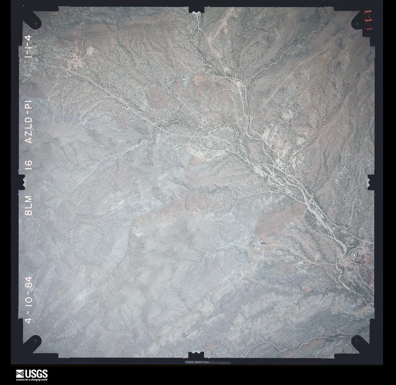
U.S. Geological Survey aerial photograph, 1984-04-10, scale 1:16500
1984-04-10, scale 1:16500. U.S. Geological Survey aerial photograph.
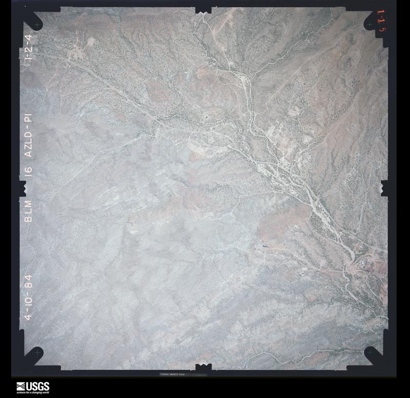
U.S. Geological Survey aerial photograph, 1984-04-10, scale 1:16500
1984-04-10, scale 1:16500. U.S. Geological Survey aerial photograph.
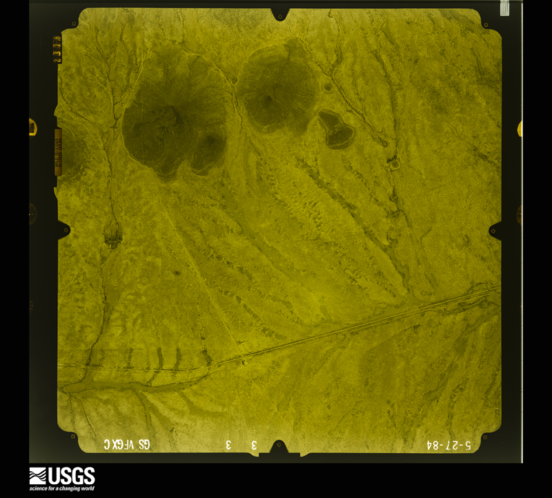
U.S. Geological Survey aerial photograph, 1984-05-27, scale 1:24000
1984-05-27, scale 1:24000. U.S. Geological Survey aerial photograph.
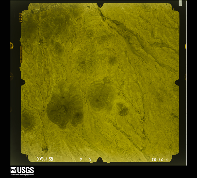
U.S. Geological Survey aerial photograph, 1984-05-27, scale 1:24000
1984-05-27, scale 1:24000. U.S. Geological Survey aerial photograph.

Weather records

412 stations, 55 gages

The thermometers that kept this county's weather, and the gages that measured the flow of its streams, as the federal records hold them. The extremes below are measured values from those records, not estimates.

The 1950 census, district by district

558 districts

Who lived here in 1950, one enumeration district at a time, as the Census Bureau described each district. Each row opens its official National Archives result, with Population Schedules and ED Maps available there.

  • 7-1Supervisorial District 1, outside Phoenix city: Chandler town: Chandler town - That part Bounded by Town limits; Town limits; Cleveland; Arizona Avenue
  • 7-2Supervisorial District 1, outside Phoenix city: Chandler town - That part Bounded by Town limits; Arizona Avenue.; Cleveland, Town limits; Town limits
  • 7-3Supervisorial District 1, outside Phoenix city: Chandler town - That part Bounded by Cleveland; Arizona Avenue, Town limits; Town limits; Town limits, Alley West of Dakota, Alley West of Dakota extended, Commonwealth, San Marcos Pl., Buffalo, Dakota
  • 7-4Supervisorial District 1: San Marcos Hotel (In Chandler town)
  • 7-5Supervisorial District 1: Chandler town - That part Bounded by Cleveland; Town limits; Town limits; Arizona Avenue
  • 7-6Supervisorial District 1: Gilbert town
  • 7-7Supervisorial District 1: Mesa city: Mesa city - That part Bounded by City limits; City limits, N. Sirrine extended, N. Sirrine E.; 4th, W. 4th; N. Mesa Blvd.
  • 7-8Supervisorial District 1: Mesa city - That part Bounded by City limits; N. Mesa Blvd.; King; Extension Rd., City limits
  • 7-9Supervisorial District 1: Mesa city - That part Bounded by City limits; Extension Rd.; W. Main, City limits; City limits
  • 7-10Supervisorial District 1: Mesa city - That part Bounded by W. 4th, E. 4th; N. Sirrine; E. Main, W. Main; N. Mesa Blvd.
  • 7-11Supervisorial District 1: Mesa city - That part Bounded by City limits; N. Hobson extended, N. Hobson; E. Main; N. Sirrine, N. Sirrine extended
  • 7-12Supervisorial District 1: Mesa city - That part Bounded by City limits; City limits, Powerhouse Rd.; E. Main; N. Hobson, N. Hobson extended
  • 7-13Supervisorial District 1: Mesa city - That part Bounded by E. Main, Powerhouse Rd., City limits; City limits; City limits, E. 4th Avenue.; S. Horne Lane
  • 7-14BSupervisorial District 1: Mesa city - That part including Franklin School Bounded by E. Main; Franklin School boundary; Franklin School boundary; Hibbert
  • 7-14ASupervisorial District 1: Mesa city - That part excluding Franklin School Bounded by E. Main; S. Horne Lane; E. 4th; Avenue S. Sirrine
  • 7-15Supervisorial District 1: Mesa city - That part Bounded by W. Main, E. Main; S. Sirrine; E. 4th Avenue, W. 4th Avenue.; S. Mesa Blvd.
  • 7-16Supervisorial District 1: Mesa city - That part Bounded by W. Main, Extension Rd., King; N. Mesa Blvd., S. Mesa Blvd.; Southern Pacific Railroad; City limits
  • 7-17Supervisorial District 1: Mesa city - That part Bounded by Southern Pacific Railroad; S. Mesa Blvd., Chandler Rd.; City limits; City limits
  • 7-18Supervisorial District 1: Mesa city - That part Bounded by W. 4th Avenue., E. 4th Avenue., S. Mesa Dr.; City limits; Chandler Rd., S. Mesa Blvd.
  • 7-19Supervisorial District 1: Mesa city - That part Bounded by E. 4th Avenue.; City limits; City limits; S. Mesa Dr.
  • 7-20Supervisorial District 1: Tempe city - That part Bounded by City limits; City limits; 8th; College Avenue., 6th Mill Avenue., Washington Blvd., City limits
  • 7-21Supervisorial District 1: Tempe city - That part Bounded by City limits; Washington Blvd., Mill Avenue.; 8th; City limits
  • 7-22Supervisorial District 1: Tempe city - That part Bounded by 8th; Maple Avenue.; 13th, City limits; City limits
  • 7-23BSupervisorial District 1: Tempe city - That part Bounded by Road-Walkway through College; Normal Avenue.; Orange; Forest Avenue.
  • 7-23ASupervisorial District 1: Tempe city - That part Bounded by 8th, Mill Avenue, 6th; College, Road-Walkway through College, Forest Avenue, Forest Avenue extended; 13th; Maple Avenue
  • 7-24CSupervisorial District 1: Tempe city - That part Bounded by City limits; City limits; City limits; Unnamed alley, 13th, Rural Rd.
  • 7-24BSupervisorial District 1: Tempe city - That part Bounded by Orange; Normal Avenue.; 13th; Forest Avenue extended, Forest Avenue.
  • 7-24ASupervisorial District 1: Tempe city - That part Bounded by 8th; City limits, Rural Rd.; 13th; Normal Avenue, Road-Walkway through College, College
  • 7-25ASupervisorial District 1: Tempe city - That part Bounded by 13th; Unnamed alley; City limits, Southern Pacific Railroad; City limits
  • 7-25BSupervisorial District 1: Tempe city - That part Bounded by Southern Pacific Railroad; City limits; City limits; City limits
  • 7-26Supervisorial District 1: Mesa, unincorporated Bounded by Mesa Canal; Consolidated Canal, E. 4th; Falcon Field Rd.; Creamery Rd., Gilbert Rd., 12th Avenue.; Shorne Lane, Mesa city limits
  • 7-27Supervisorial District 1 - That part including all islands in this enumeration district Bounded by County line; County line; County line, U.S. Highway 60; Roosevelt Canal, Southern Canal, Granite Reefer Dam
  • 7-28Supervisorial District 1 - That part outside Salt River Indian Reservation and East Mesa, unincorporated (See separate map for boundaries of East Mesa) Bounded by Salt River Indian Reservation boundary, Salt River; Granite Reef Dam, Southern Canal, Roosevelt Canal; U.S. Highway 60, Falcon Field Rd., E. 4th, Consolidated Canal, Mesa Canal; Mesa city limits, Cross Cut Canal, Tempe Canal, Unnamed road
  • 7-29Supervisorial District 1 - That part in Salt River Indian Reservation, including all islands in this enumeration district
  • 7-29Supervisorial District 1 - That part in Salt River Indian Reservation, including all islands in this enumeration district
  • 7-30Supervisorial District 1 - That part outside Mesa city Bounded by Salt River Indian Reservation boundary; N. Mesa Blvd., Tempe Canal, Cross Cut Canal, Mesa city limits, State Highway 87; Base Line Rd.; Nephi Rd.
  • 7-31Supervisorial District 1 - That part outside East Mesa, unincorporated (See separate map for boundaries of East Mesa) Bounded by Mesa city limits, S. Horne Lane, 12th Avenue, Gilbert Rd., Creamery Rd., Falcon Field Rd., U.S. Highway 60; County line; Base Line Rd. extended, Base Line Rd.; State Highway 87
  • 7-32Supervisorial District 1 - That part excluding Williams Air Force Base (Part) Bounded by Base Line Rd., Base Line Rd. extended; County line; Southern Pacific Railroad; Roosevelt Canal
  • 7-33Williams Air Force Base - That part in Supervisorial District 1 (Remainder of Williams Air Force Base (Yuma Aerial Gunnery and Bombing Range) is in Yuma County)
  • 7-34Supervisorial District 1 - That part Bounded by Base Line Rd.; Roosevelt Canal; Chandler - Higley Rd.; Gilbert - Base Line Rd., Gilbert town limits
  • 7-35Supervisorial District 1 - That part Bounded by Base Line Rd.; Base Line - Gilbert Rd., Gilbert town limits, Gilbert - Coolidge Rd.; Chandler - Higley Rd., Chandler town limits; State Highway 87
  • 7-36Supervisorial District 1 - That part Bounded by Base Line Rd.; State Highway 87, Chandler town limits; West Chandler Rd.; Unnamed road, Tempe Canal
  • 7-37Supervisorial District 1 - That part Bounded by Base Line Rd. Tempe Canal, Unnamed road; Gila River Indian Reservation boundary; Southern Pacific Railroad
  • 7-38Supervisorial District 1 - That part Bounded by Base Line Rd.; Southern Pacific Railroad; Gila River Indian Reservation boundary; Range line between Ranges 3 and 4 East, Township 1 South
  • 7-39Supervisorial District 1 - That part Bounded by Base Line Rd.; Range line between Ranges 3 and 4 East, Township 1; South Gila River Indian Reservation boundary; Supervisorial District line
  • 7-40Supervisorial District 1 - That part in Gila River Indian Reservation, excluding St. John's School
  • 7-40Supervisorial District 1 - That part in Gila River Indian Reservation, excluding St. John's School
  • 7-41St. John's School (In Supervisorial District 1 Gila Indian Reservation)
  • 7-41St. John's School (In Supervisorial District 1 Gila Indian Reservation)
  • 7-42Supervisorial District 1 - That part Bounded by West Chandler Rd., Chandler town limits; State Highway 87; County line; Gila River Indian Reservation boundary, Unnamed road
  • 7-43Supervisorial District 1 - That part Bounded by Chandler - Higley Rd.; Gilbert - Coolidge Rd.; Unnamed road; State Highway 87, Chandler town limits
  • 7-44Supervisorial District 1 - That part Bounded by Unnamed road; Gilbert - Coolidge Rd.; County line; State Highway 87
  • 7-45Supervisorial District 1 - That part Bounded by Chandler - Higley Rd.; Roosevelt Canal; County line; Gilbert - Coolidge Rd.
  • 7-46Supervisorial District 1 - That part Bounded by Southern Pacific Railroad, County line; County line; Roosevelt Canal
  • 7-47Supervisorial District 1 - That part Bounded by Roosevelt, Supervisorial District line; 32nd; Van Buren Avenue.; Phoenix city limits
  • 7-48Supervisorial District 1 - that part in Salt River Indian Reservation
  • 7-48Supervisorial District 1 - that part in Salt River Indian Reservation
  • 7-49Supervisorial District 1 - That part Bounded by Supervisorial District line; Salt River Indian Reservation boundary, east line of sections 7 and 18, Township 1 North, Range 5 East; North Rd., McClintock Dr., 8th; Tempe city limits, Tempe Park boundary, Papago Park boundary
  • 7-50Supervisorial District 1 - That part comprising that part of Tempe Park and Papago Park in this enumeration district
  • 7-51Supervisorial District 1 - That part Bounded by Van Buren Avenue; 40th; Southern Pacific Railroad; Drainage ditch, 37th extended, [illegible]
  • 7-52Supervisorial District 1 - That part Bounded by Van Buren Avenue; 7th extended [illegible], Washington Blvd.; 33rd [corrected text, illegible]
  • 7-53Supervisorial District 1 - That part Bounded by Van Buren Avenue.; 33rd; Washington Blvd.; Gardiner
  • 7-54Supervisorial District 1 - That part Bounded by Van Buren Avenue, Gardiner, Washington Blvd.; 32nd; Southern Pacific Railroad; Phoenix city limits
  • 7-55Supervisorial District 1 - That part Bounded by Washington Blvd.; Drainage ditch; Southern Pacific Railroad; 32nd
  • 7-56Supervisorial District 1 - That part Bounded by Phoenix city limits, Southern Pacific Railroad; 40th; Henshaw Rd., 32nd, Unnamed street, 28th, Henshaw Rd.; 24th
  • 7-57Supervisorial District 1- That part Bounded by Henshaw Rd., 28th, Unnamed street; Fence; 32nd, Watkins, 26th, Apache; 24th
  • 7-58Supervisorial District 1 - That part Bounded by Apache, 26th, Watkins, 32nd, fence, 32nd, Henshaw Rd.; 40th; Salt River; 24th
  • 7-59Supervisorial District 1 - That part Bounded by Salt River; Bartlett Rd. extended, Bartlett Rd.; Roeser Rd., Orange Rd., Wier, 28th, Broadway; Mt. View Rd.
  • 7-60Supervisorial District 1 - That part Bounded by Broadway; 28th, Wier, Orange Rd.; Roeser Rd.; Mt. View Rd.
  • 7-61Supervisorial District 1 - That part Bounded by Roeser Rd.; Bartlett Rd.; Base Line Rd.; Mt. View Rd.
  • 7-62ASupervisorial District 1 - That part Bounded by Salt River, Highland Drive (Priest Rd.), 8th, Tempe city limits, Southern Pacific Railroad, Tempe Canal, U.S. Highway 60; Jordan Rd.; Baseline Rd.; Bartlett Rd., range line between Ranges 3 & 4 East, Township 1 North
  • 7-62BSupervisorial District 1 - That part Bounded by Papago Park boundary; Papago Park boundary, Tempe Park boundary, Tempe city limits; Salt River; Supervisorial District line, 55th Place
  • 7-62CSupervisorial District 1 - That part Bounded by Salt River; Tempe city limits; 8th; Highland Drive (Priest Rd.)
  • 7-63Supervisorial District 1 - That part Bounded by 8th; McClintock Dr.; Tempe city limits; Tempe city limits
  • 7-64Supervisorial District 1 - That part Bounded by North Rd.; Frankenburg Rd.; U.S. Highway 60; McClintock Dr.
  • 7-65Supervisorial District 1 - That part Bounded by U.S. Highway 60; Tempe Canal; Southern Pacific Railroad; McClintock Dr.
  • 7-66Supervisorial District 1 - That part Bounded by North Rd.; Tempe Canal; U.S. Highway 60; Frankenburg Rd.
  • 7-67Supervisorial District 1 - That part Bounded by North Rd.; Jordan; U.S. Highway 60 (Lewis); Tempe Canal
  • 7-68Supervisorial District 1 - That part Bounded by Phoenix city limits; 24th; Henshaw Rd.; 22nd
  • 7-69Supervisorial District 1 - That part Bounded by Phoenix city limits; 22nd; Henshaw Rd.; 20th
  • 7-70Supervisorial District 1 - That part Bounded by Lincoln; 20th; Henshaw Rd.; 18th
  • 7-71Supervisorial District 1 - That part Bounded by Phoenix city limits; 20th; Lincoln; 16th
  • 7-72Supervisorial District 1 - That part Bounded by Lincoln; 18th; Henshaw Rd.; 16th
  • 7-73Supervisorial District 1 - That part Bounded by Phoenix city limits; 16th; Gray; 10th, Unnamed street, Sherman, 7th
  • 7-74Supervisorial District 1 - Thet part Bounded by Phoenix city limits, 7th, Sherman; Unnamed street, 10th; Gray; Phoenix city limits
  • 7-75Supervisorial District 1 - That part Bounded by Phoenix city limits, Gray; 7th; Mohave; Central Avenue.
  • 7-76Supervisorial District 1 - That part Bounded by Mohave; 7th; Salt River; Central Avenue.
  • 7-77Supervisorial District 1 - That part Bounded by Apache; 12th, Hilton, 15th, Magnolia, Park Rd.; Salt River; 7th
  • 7-78Supervisorial District 1 - That part Bounded by Cocopah; 12th; Apache; 7th
  • 7-79Supervisorial District 1 - That part Bounded by Gray; 10th; Cocopah; 7th
  • 7-80Supervisorial District 1 - That part Bounded by Gray;12th; Cocopah; 10th
  • 7-81Supervisorial District 1 - That part Bounded by Gray; 14th; Apache; 12th
  • 7-82Supervisorial District 1 - That part Bounded by Gray; 16th; Apache; 14th
  • 7-83Supervisorial District 1 - That part Bounded by Apache; 16th; Magnolia, 15th, Hilton Avenue.; 12th
  • 7-84Supervisorial District 1 - That part Bounded by Henshaw Rd.; 18th; Stephen Lane; 16th
  • 7-85Supervisorial District 1 - That part Bounded by Henshaw Rd.; 20th; Durango; 18th
  • 7-86Supervisorial District 1 - That part Bounded by Henshaw Rd.; Drainage ditch; Mohave; 20th
  • 7-87Supervisorial District 1 - That part Bounded by Stephen Lane, 18th, Durango, 20th, Mohave, drainage ditch, Henshaw Rd.; 24th; Salt River; 16th
  • 7-88Supervisorial District 1 - That part Bounded by Salt River; Mt. View Rd.; Base Line Rd.; Park Rd.
  • 7-89Supervisorial District 1 - That part Bounded by Salt River; Park Rd.; Broadway; 7th
  • 7-90Supervisorial District 1 - That part Bounded by Salt River; 7th; Broadway; Central Avenue
  • 7-91Supervisorial District 1 - That part Bounded by Salt River; Central Avenue.; Riverside; S. 6th, West Rd.; 3rd Avenue.
  • 7-92Supervisorial District 1 - That part Bounded by Salt River; 3rd Avenue., West Rd., S. 6th Avenue., Illini, 9th Avenue., drainage ditch, Broadway, 15th Avenue., Roeser Rd., 7th Avenue., Tamarack Avenue., Central Avenue., Chambers, 3rd Avenue., Highland Rd., Central Avenue; Southern Avenue; 35th Avenue
  • 7-93Supervisorial District 1 - That part Bounded by Broadway; 7th Avenue; Roeser Rd.; 15th Avenue.
  • 7-94Supervisorial District 1 - That part Bounded by Illini, S. 6th, Riverside; Central Avenue; Tamarack Avenue; 7th Avenue, Broadway, drainage ditch, 9th Ave.
  • 7-95Supervisorial District 1 - That part Bounded by Broadway; 5th, Wier Avenue., 7th; Roeser Rd.; Central Avenue.
  • 7-96Supervisorial District 1 - That part Bounded by Broadway; 9th, drainage ditch, 12th Chipman Rd., 10th; Roeser Rd.; 7th, Wier Avenue., 5th
  • 7-97Supervisorial District 1 - That part Bounded by Broadway; Park Rd.; Base Line Rd.; 7th, drainage ditch, 12th, Alto Rd., 14th, Southern Avenue., 10th, Pecan Rd., 9th, Southern Avenue., 7th, Roeser Rd., 10th, Chipman Rd., 12th, Drainage Ditch, 9th
  • 7-98Supervisorial District 1 - That part Bounded by Southern Avenue.; 14th Place., Alto Rd., 12th; Drainage ditch; 7th, Old Southern Avenue., 11th
  • 7-99Supervisorial District 1 - That part Bounded by Southern Avenue, 9th, Pecan Rd., 10th, Southern Avenue.; 11th, Old Southern Avenue, 7th; Alta Vista, drainage ditch, St. Charles Avenue.; Central Avenue.
  • 7-100Supervisorial District 1 - That part Bounded by Roeser Rd.; 7th; Southern Avenue.; Central Avenue., Highland Rd., 3rd Avenue., Chambers, Central Avenue
  • 7-101Supervisorial District 1 - That part Bounded by Southern Avenue.; Central Avenue.; Alta Vista; Montezuma, Lynne Avenue, 7th Avenue
  • 7-102Supervisorial District 1 - That part Bounded by Lynne Avenue; Montezuma, Alta Vista, Montezuma; Vineyard Avenue; 7th Avenue
  • 7-103Supervisorial District 1 - That part Bounded by Southern Avenue; 7th Avenue, Vineyard Avenue, Montezuma, Alta Vista, Central Avenue, St. Charles Avenue, drainage ditch, Alta Vista, 7th; Base Line Rd.; 35th Avenue (Remainder of Supervisorial District 1 is in Phoenix city)
  • 7-104Supervisorial District 2, outside Phoenix city: Glendale city: Glendale city - That part Bounded by City limits; City limits; E. "B" Avenue; N. 4th Avenue
  • 7-105Supervisorial District 2, outside Phoenix city: Glendale city - That part Bounded by City limits; City limits, N. 4th Avenue; E. "B" Avenue; N. Central Avenue, City limits
  • 7-106Supervisorial District 2, outside Phoenix city: Glendale city - That part Bounded by City limits; N. Central Avenue; W. "C" Avenue; City limits
  • 7-107Supervisorial District 2, outside Phoenix city: Glendale city - That part Bounded by City limits, W. "C" Avenue; N. Central Avenue; W. Glendale Avenue; City limits
  • 7-108Supervisorial District 2, outside Phoenix city: Glendale city - That part Bounded by E. "B" Avenue; City limits; E. Glendale Avenue; N. Central Avenue.
  • 7-109Supervisorial District 2, outside Phoenix city: Glendale city - That part Bounded by City limits; City limits; City limits; S. 7th Avenue
  • 7-110Supervisorial District 2, outside Phoenix city: Glendale city - That part Bounded by E. Glendale Avenue; S. 7th Avenue; Grand Avenue
  • 7-111Supervisorial District 2, outside Phoenix city: Glendale city - That part Bounded by W. Glendale Avenue; S. Central Avenue; W. "B"; City limits
  • 7-112Supervisorial District 2, outside Phoenix city: Glendale city - That part Bounded by W. "B"; S. Central Avenue; City limits; City limits
  • 7-113Supervisorial District 2, outside Phoenix city: Glendale city - That part Bounded by Grand Avenue; City limits; S. Central Avenue
  • 7-114Supervisorial District 2: Scottsdale, unincorporated: Scottsdale, unincorporated - That part Bounded by Unnamed road; Unnamed road; Garfield Avenue, Marshall Avenue, 2nd Avenue; Arizona Canal
  • 7-115Supervisorial District 2: Scottsdale, unincorporated - That part Bounded by 2nd Avenue, Marshall Avenue, Garfield Avenue; Scottsdale Rd.; Thomas Rd.; Citrus Rd.
  • 7-116CSupervisorial District 2: Sunnyslope, unincorporated - That part Bounded by Mountain View Rd.; Unnamed stream; Arizona Canal; 3rd. extended, 3rd., 3rd extended
  • 7-116BSupervisorial District 2: Sunnyslope, unincorporated - That part Bounded by Mountain View Rd. extended, Mountain View Rd.; 3rd extended, 3rd, 3rd extended; Arizona Canal; 7th Avenue extended
  • 7-116ASupervisorial District 2: Sunnyslope, unincorporated - That part Bounded by Mountain View Rd., Mountain View Rd. extended; 7th Avenue extended; Arizona Canal; 19th Avenue
  • 7-117Supervisorial District 2 - That part, including all islands or parts of islands in this enumeration district Bounded by County line; Supervisorial District line; Salt River; Salt River Indian Reservation boundary, Fort McDowell Indian Reservation boundary, Verde River, Camp Creek, Cave Creek-Bartlett Dam Rd., Camp Creek-Onyx Mine Rd.
  • 7-118Supervisorial District 2 - That part comprising Fort McDowell Indian Reservation, including all islands or parts of islands in this enumeration district
  • 7-118Supervisorial District 2 - That part comprising Fort McDowell Indian Reservation, including all islands or parts of islands in this enumeration district
  • 7-119Supervisorial District 2 - That part Bounded by Cave Creek - Bartlett Dam Rd., Camp Creek; Verde River, Fort McDowell Indian Reservation boundary; Salt River Indian Reservation boundary, Unnamed Rd., township line between Townships 2 and 3N., Ranges 4 and 3E., Northern Avenue; Arizona Canal, Unnamed stream, Mountain View Rd., Phoenix-Cave Creek Rd.
  • 7-120Supervisorial District 2 - That part Bounded by County line; Camp Creek - Onyx Mine Rd., Cave Creek - Bartlett Dam Rd., Phoenix - Cave Creek Rd.; Mountain View Rd., Mountain View Rd. extended, Mountain View Rd., 19th Avenue, Arizona Canal; State Highway 69
  • 7-121BSupervisorial District 2 - That part Bounded by Avenue "R"; Lateral 19 Rd.; Avenue "P"; Lateral 21 Rd.
  • 7-121CSupervisorial District 2 - That part Bounded by Avenue "S"; Extension of Lateral 17 1/2 Rd.; Extension of Avenue "R" 1/2; Lateral 18 Rd.
  • 7-121DSupervisorial District 2 - That part Bounded by Avenue "U"; Lateral 18 Rd.; Arizona Canal, Lateral 19 Rd., Avenue "R", Lateral 21 Rd.; U.S. Highway 60, Agua Fria River
  • 7-121ESupervisorial District 2 - That part Bounded by Avenue "P"; Lateral 19 Rd.; U.S. Highway 60
  • 7-121ASupervisorial District 2 - That part excluding The American Institute of Foreign Trade Bounded by County line; State Highway 69; Arizona Canal, Lateral 18 Rd., Avenue "U"; Agua Fria River, Lake Pleasant
  • 7-122Supervisorial District 2 - That part Bounded by County line; Lake Pleasant, Agua Fria River; Beardsley Canal Rd.; Supervisorial District line, Hassayampa River, Supervisorial District line
  • 7-123ASupervisorial District 2 - That part Bounded by U.S. Highway 60; Agua Fria River; "Q" Avenue; Surprise Rd.
  • 7-123BSupervisorial District 2 - That part excluding Luke Air Force Base, which includes Radio Range and Sewage Treatment Plant-Luke Field (Part) Bounded by Beardsley Canal Rd.; Agua Fria River, U.S. Highway 60, Surprise Rd., "Q" Avenue, Agua Fria River; Glendale Avenue (unnamed road), Supervisorial District line, Glendale Avenue (unnamed road); Beardsley Canal Rd.
  • 7-124Luke Air Force Base, which includes Luke Field Radio Range and Sewage Treatment Plant - Luke Field - That part in Supervisorial District 2 (Remainder of Luke Air Force Base, which includes Luke Field Radio Range and Sewage Treatment Plant - Luke Field, is in Supervisorial District 3)
  • 7-125Supervisorial District 2 - that part, including all islands in this enumeration district Bounded by U.S. Highway 60; New River; Unnamed road (Supervisorial District line); Agua Fria River
  • 7-126Supervisorial District 2 - That part Bounded by U.S. Highway 60; Lateral 21 Rd.; Unnamed road (Supervisorial District line); New River
  • 7-127Supervisorial District 2 - That part Bounded by U.S. Highway 60; Lateral 19 Rd.; Unnamed road (Supervisorial District line); Lateral 21 Rd.
  • 7-128Supervisorial District 2 - That part Bounded by Arizona Canal; Lateral 15 Rd.; Northern Avenue.; Lateral 19 Rd.
  • 7-129Supervisorial District 2 - That part Bounded by Northern Avenue.; Lateral 16 Rd. ;Avenue "L" ; U.S. Highway 60, Glendale city limits, U.S. Highway 60
  • 7-130Supervisorial District 2 - That part Bounded by U.S. Highway 60, Glendale city limits, U.S. Highway 60; Lateral 17 Rd.; Camelback Rd.; Lateral 19 Rd.
  • 7-131Supervisorial District 2 - That part Bounded by Northern Avenue.; 19th Avenue.; Glendale Avenue.; Lateral 16 Rd.
  • 7-132Supervisorial District 2 - That part outside Sunnyslope, unincorporated (See separate map for boundaries of Sunnyslope) and excluding The Convent of the Good Shepherd Bounded by Arizona Canal; Arizona Canal; Northern Avenue.; Lateral 15 Rd.
  • 7-133The Convent of the Good Shepherd (In Supervisorial District 2)
  • 7-134Supervisorial District 2 - That part Bounded by Northern Avenue; Arizona Canal; Glendale Avenue; 19th Avenue
  • 7-135ASupervisorial District 2 - That part, excluding Arizona Biltmore Hotel, Camelback Inn, Jokake Inn and Paradise Inn Bounded by Northern Avenue; Salt River Indian Reservation boundary; Arizona Canal; Arizona Canal
  • 7-135BSupervisorial District 2: Bounded by Arizona Canal; Salt River Indian Reservation boundary; Supervisorial District line, E. Van Buren, Scottsdale Rd., Thomas Rd.; Chicago Avenue
  • 7-136Arizona Biltmore Hotel (In Supervisorial District 2)
  • 7-137Camelback Inn (In Supervisorial District 2)
  • 7-138Jokake Inn (In Supervisorial District 2)
  • 7-139Paradise Inn (In Supervisorial District 2)
  • 7-140Supervisorial District 2 - That part in Salt River Indian Reservation
  • 7-140Supervisorial District 2 - That part in Salt River Indian Reservation
  • 7-141Supervisorial District 2 - That part Bounded by Glendale Avenue, Arizona Canal; 24th; Camelback Rd.; 16th
  • 7-142Supervisorial District 2 - That part Bounded by Glendale Avenue; 16th; Bethany Home Rd.; 7th
  • 7-143Supervisorial District 2 - That part Bounded by Glendale Avenue; 7th; Bethany Home Rd.; Central Avenue
  • 7-144Supervisorial District 2 - That part Bounded by Glendale Avenue; Central Avenue; Bethany Home Rd.; 7th Avenue
  • 7-145Supervisorial District 2 - That part Bounded by Glendale Avenue; 7th Avenue; Bethany Home Rd.; 19th Avenue
  • 7-146Supervisorial District 2 - That part Bounded by Glendale Avenue; 19th Avenue; Nile Rd., Nile Rd. extended, 21st Avenue., Missouri Avenue; 23rd Avenue
  • 7-147Supervisorial District 2 - That part Bounded by Glendale Avenue; 23rd Avenue, Bethany Home Rd., 25th Ave., Montebello Avenue, 27th Avenue, Missouri Avenue, 23rd Avenue; Camelback Rd., Lateral 16 Rd., drainage ditch, Grand Avenue, Camelback Rd.; Lateral 17 Rd., Avenue "L", Lateral 16 Rd.
  • 7-148Supervisorial District 2 - That part Bounded by Drainage ditch; Lateral 16 Rd. (43rd Avenue.); Grand Avenue
  • 7-149Supervisorial District 2 - That part Bounded by Montebello Ave.; 25th Ave.; Missouri Ave.; 27th Ave.
  • 7-150Supervisorial District 2 - That part Bounded by Bethany Home Rd.; 23rd Avenue; Missouri Avenue; 25th Avenue
  • 7-151Supervisorial District 2 - That part Bounded by Missouri Avenue, 21st Avenue, Nile Rd. extended, Nile Rd.; 19th Avenue; Camelback Rd.; 23rd Avenue
  • 7-152Supervisorial District 2 - That part Bounded by Nile Rd.; 12th Avenue extended, 12th Avenue; Camelback Rd.; 19th Avenue
  • 7-153Supervisorial District 2 - That part Bounded by Bethany Home Rd.; 7th Avenue; Camelback Rd., 12th Avenue, 12th Avenue extended, Nile Rd.; 19th Avenue
  • 7-154Supervisorial District 2 - That part Bounded by Bethany Home Rd.; 3rd Avenue, Marshall Rd., Central Avenue; Georgia Avenue; 7th Avenue
  • 7-155Supervisorial District 2 - That part Bounded by Bethany Home Rd.; Central Avenue; Marshall Rd.; 3rd Avenue
  • 7-156Supervisorial District 2 - That part Bounded by Bethany Home Rd.; 7th, Montebello Avenue (Camel Avenue), Kay Rd.; Missouri Avenue; Central Avenue
  • 7-157Supervisorial District 2 - That part Bounded by Missouri Avenue, Kay Rd., Montebello Avenue (Camel Avenue); 7th; Camelback Rd.; Central Avenue
  • 7-158Supervisorial District 2 - That part Bounded by Bethany Home Rd.; 10th; Montebello Avenue (Camel Avenue); 7th
  • 7-159Supervisorial District 2 - That part Bounded by Bethany Home Rd.; 16th; Camelback Rd., 12th, Colter, Colter extended, Colter, Colter extended; 7th, Montebello Avenue (Camel Avenue), 10th
  • 7-160Supervisorial District 2 - That part Bounded by Colter extended, Colter, Colter extended, Colter; 12th; Camelback Rd.; 7th
  • 7-161Supervisorial District 2 - That part Bounded by Camelback Rd.; 16th; Highland Avenue; 13th, Lafayette Avenue, 12th
  • 7-162Supervisorial District 2 - That part Bounded by Lafayette Avenue, 13th, Highland Avenue; 16th; Campbell Avenue; 12th
  • 7-163Supervisorial District 2 - That part Bounded by Camelback Rd.; 24th; Indian School Rd.; 21st, Glenrosa Avenue, 22nd, Campbell Avenue, 18th, Dale Dr., 16th
  • 7-164Supervisorial District 2 - That part Bounded by Campbell Avenue; 22nd; Glenrosa Avenue; 18th
  • 7-165Supervisorial District 2 - That part Bounded by Indian School Rd.; 24th; Osborn Rd.; 22nd, Liberty, 21st Place, Picadilly Rd., 23rd
  • 7-166Supervisorial District 2 - That part Bounded by Thomas Rd.; 28th; Grand Canal, Phoenix city limits
  • 7-167Supervisorial District 2 - That part Bounded by Indian School Rd.; 23rd, Picadilly Rd., 21st Place, Liberty, 22nd, Osborn Rd., 24th; Thomas Rd.; Phoenix city limits, Osborn Rd., 20th, Fairmont Avenue, 18th
  • 7-168Supervisorial District 2 - That part Bounded by Indian School Rd.; 18th, Fairmont Avenue, 20th; Osborn Rd.; Phoenix city limits, 16th
  • 7-169Supervisorial District 2 - That part Bounded by Glenrosa Avenue; 21st; Indian School Rd.; 16th
  • 7-170Supervisorial District 2 - That part Bounded by Dale Dr.; 18th; Glenrosa Avenue; 16th
  • 7-171BSupervisorial District 2 - That part including Phoenix Indian Sanatorium Bounded by Campbell Avenue; 16th; Phoenix city limits; Clifton
  • 7-171BSupervisorial District 2 - That part including Phoenix Indian Sanatorium Bounded by Campbell Avenue; 16th; Phoenix city limits; Clifton
  • 7-171ASupervisorial District 2 - That part outside Phoenix Indian Sanatorium Bounded by Meadowbrook Avenue., 12th, Campbell Avenue; Clifton; Phoenix city limits; 7th
  • 7-172Supervisorial District 2 - That part Bounded by Camelback Rd.; 12th; Meadowbrook Avenue; 7th;
  • 7-173Supervisorial District 2 - That part Bounded by Camelback Rd.; 7th; Phoenix city limits; Central Avenue
  • 7-174ASupervisorial District 2 - That part Bounded by Pierson; Central Avenue; Grand Canal; 3rd. Avenue
  • 7-174BSupervisorial District 2 - That part Bounded by Camelback Rd.; Central Avenue; Pierson; 3rd. Avenue
  • 7-175Supervisorial District 2 - That part Bounded by Georgia Avenue; Central Avenue; Camelback Rd.; 7th Avenue
  • 7-176Supervisorial District 2 - That part Bounded by Camelback Rd.; 3rd Avenue; Grand Canal; 7th Avenue
  • 7-177Supervisorial District 2 - That part Bounded by Camelback Rd.; 7th Avenue; Hazelwood; 11th Avenue
  • 7-178Supervisorial District 2 - That part Bounded by Camelback Rd.; 11th Avenue, Hazelwood, 7th Avenue; Grand Canal, 15th Avenue, Campbell Avenue; 19th Avenue, Highland Avenue, 17th Avenue;
  • 7-179Supervisorial District 2 - That part Bounded by Camelback Rd.; 17th Avenue; Highland Avenue; 19th Avenue
  • 7-180Supervisorial District 2 - That part Bounded by Campbell Avenue; 15th Avenue; Grand Canal; 19th Avenue
  • 7-181Supervisorial District 2 - That part Bounded by Grand Canal, Unnamed street, Montecito Avenue; Unnamed street, Heathbrae Dr., 15th Avenue; Indian School Rd.; 19th Avenue
  • 7-182Supervisorial District 2 - That part Bounded by Indian School Rd.; Phoenix city limits; Phoenix city limits; 19th Avenue
  • 7-183Supervisorial District 2 - That part Bounded by Neelia Dr.; 7th Avenue; Phoenix city limits; 15th Avenue
  • 7-184Supervisorial District 2 - That part Bounded by Grand Canal; 7th Avenue; Neelia Dr., 15th Avenue, Heathbrae Dr.; Unnamed street, Montecito Avenue, Unnamed street
  • 7-185ASupervisorial District 2 - That part Bounded by Grand Canal; Central Avenue, Phoenix city limits; Turney Avenue; 2nd Avenue, Campbell Avenue, 3rd. Avenue
  • 7-185BSupervisorial District 2 - That part Bounded by Grand Canal; 3rd Avenue, Campbell Avenue, 2nd Avenue; Turney Avenue; 7th Avenue
  • 7-186Supervisorial District 2 - That part Bounded by Turney Avenue; Phoenix city limits; Phoenix city limits; 7th Avenue
  • 7-187Supervisorial District 2 - That part including Country Club Golf Course (County Owned Area) within Phoenix city but not a part of the city
  • 7-188Supervisorial District 2 - That part Bounded by Phoenix city limits; Phoenix city limits; McDowell Rd.; 19th Avenue, Phoenix city limits
  • 7-189Supervisorial District 2 - That part Bounded by Arizona Canal; Chicago Avenue; Indian School Rd.; Orange Rd.
  • 7-190Supervisorial District 2 - That part Bounded by Arizona Canal; Orange Rd.; Camelback Rd.; 24th
  • 7-191Supervisorial District 2 - That part Bounded by Camelback Rd.; Orange Rd.; Indian School Rd.; 28th, Campbell Avenue, 24th
  • 7-192Supervisorial District 2 - That part Bounded by Campbell Avenue; 28th; Indian School Rd.; 24th
  • 7-193Supervisorial District 2 - That part Bounded by Indian School Rd.; 28th; Thomas Rd.; 24th
  • 7-194Supervisorial District 2 - That part Bounded by Indian School Rd.; Orange Rd.; Thomas Rd.; 28th
  • 7-195Supervisorial District 2 - That part Bounded by Indian School Rd.; Chicago Avenue; Thomas Rd., 39th, Osborn Rd., 36th, Thomas Rd.; Orange Rd.
  • 7-196Supervisorial District 2 - That part Bounded by Osborn Rd.; 39th; Thomas Rd.; 36th
  • 7-197Supervisorial District 2 - That part Bounded by Wilshire Dr.; Chicago Avenue, Oak, 42nd; Palm Lane; 40th
  • 7-198Supervisorial District 2 - That part Bounded by Thomas Rd.; Chicago Avenue, Wilshire Dr., 40th, Palm Lane, 42nd, Oak, Chicago Avenue; McDowell Rd.; Orange Rd., Yale, 36th
  • 7-199Supervisorial District 2 - That part Bounded by Thomas Rd.; 36th; Yale; Orange Rd.
  • 7-200Supervisorial District 2 - That part Bounded by Thomas Rd.; Orange Rd.; Virginia Avenue; 28th
  • 7-201Supervisorial District 2 - That part Bounded by Virginia Avenue; Orange Rd.; Oak; 28th
  • 7-202Supervisorial District 2 - That part Bounded by Oak; Orange Rd.; McDowell Rd., Grand Canal; 28th
  • 7-203Supervisorial District 2 - That part Bounded by Grand Canal; McDowell Rd.; Phoenix city limits
  • 7-204Supervisorial District 2 - That part Bounded by McDowell Rd.; Grand Canal, Unnamed street; Roosevelt, Supervisorial District line; Phoenix city limits
  • 7-205Supervisorial District 2 - That part Bounded by Roosevelt, Unnamed street; Grand Canal, 37th; Fillmore; Orange Rd.
  • 7-206Supervisorial District 2 - That part Bounded by Fillmore; 37th; Van Buren; Orange Rd.
  • 7-207Supervisorial District 2 - That part Bounded by Grand Canal; Van Buren; 37th
  • 7-208Supervisorial District 2 - That part Bounded by McDowell Rd.; Chicago Avenue; Van Buren Avenue, 42nd, Fillmore, 41st, Van Buren Avenue; Grand Canal
  • 7-209Supervisorial District 2 - That part Bounded by Van Buren Avenue, 41st, Fillmore, 42nd, Van Buren Avenue; Chicago Avenue; Grand Canal
  • 7-210Supervisorial District 2 - That part Bounded by Taylor, Delano, Van Buren Avenue, 52nd, Papago Park boundary; Papago Park boundary, 55th Place; Washington Blvd., Fence line, Southern Pacific Railroad; Grand Canal, Chicago Avenue
  • 7-211Supervisorial District 2 - That part including excluding Veteran's Administration Hospital Bounded by Thomas Rd.; Scottsdale Rd.; Van Buren Ave., Papago Park boundary, 52nd, Van Buren Ave., Delano Ave., Taylor; Chicago Ave.
  • 7-212Veteran's Administration Hospital (In Supervisorial District 2)
  • 7-213Supervisorial District 2 - That part comprising that part of Papago Park in this Supervisorial District
  • 7-214Supervisorial District 2 - That part Bounded by Grand Canal; Southern Pacific Railroad; 40th
  • 7-215Supervisorial District 2 - That part Bounded by Southern Pacific Railroad; Drainage ditch; Power line; 40th
  • 7-216Supervisorial District 2 - That part Bounded by Southern Pacific Railroad, Fence line, Washington Blvd.; Supervisorial District line; Salt River; 40th, Power line, drainage ditch (Remainder of Supervisorial District 2 is in Phoenix city)
  • 7-217Supervisorial District 3, outside Phoenix city: Avondale town: Avondale town - That part Bounded by Town limits; Town limits; Town limits, Arizona Blvd.; Town limits
  • 7-218Supervisorial District 3, outside Phoenix city: Avondale town - That part Bounded by Arizona Blvd.; Town limits; Southern Pacific Railroad; Town limits
  • 7-219Supervisorial District 3, outside Phoenix city: Avondale town - That part Bounded by Southern Pacific Railroad; Town limits; Town limits; Town limits
  • 7-220Supervisorial District 3: Buckeye town: Buckeye town - That part Bounded by Town limits; Town limits; Monroe Avenue; 4th
  • 7-221Supervisory District 3: Buckeye town: Buckeye town - That part Bounded by Town limits; 4th; Town limits; Town limits
  • 7-222Supervisorial District 3: Buckeye town: Buckeye town - That part Bounded by Monroe Avenue; Town limits; Town limits; Town limits, 4th
  • 7-223Supervisorial District 3: Goodyear town - That part north of Perryville Rd.
  • 7-224Supervisorial District 3: Goodyear town - That part south of Perryville Rd.
  • 7-225Supervisorial District 3: Tolleson town: Tolleson town - That part bounded by Town limits; Town limits; Taylor; 4th Avenue, Town limits
  • 7-226Supervisorial District 3: Tolleson town - That Bounded by Town limits; 4th Avenue, Van Buren, 4th Avenue; Washington; Town limits
  • 7-227Supervisorial District 3: Tolleson town - That part Bounded by Taylor; Town limits; Washington; 4th Avenue, Van Buren, 4th Avenue
  • 7-228Supervisorial District 3: Tolleson town - That part Bounded by Washington; Town limits; Town limits; Town limits
  • 7-229Supervisorial District 3: Wickenburg town: Wickenburg town - That part Bounded by Town limits; Town limits; Town limits; Atchison, Topeka and Santa Fe Railroad, 2nd N., Railroad, 2nd N., Prescott, Prescott extended
  • 7-230Supervisorial District 3: Wickenburg town - That part Bounded by Town limits; Prescott extended, Prescott; 2nd N., Railroad, 2nd N.; Town limits
  • 7-231Supervisorial District 3: Wickenburg town - That part Bounded by 2nd; Atchison, Topeka, and Santa Fe Railroad; Town limits; Town limits
  • 7-232Supervisorial District 3 - That part including all islands in this enumeration district outside Wickenburg town Bounded by County line; Supervisorial District line, Hassayampa; Township line between Townships 3 and 4 North, Ranges 5 and 6 West; Unnamed road, State Highway 71
  • 7-233Supervisorial District 3 - That part Bounded by County line; State Highway 71, Unnamed road; Township line between Townships 3 and 4 North, Ranges 6, 7, 8, 9 and 10 West; County line
  • 7-234Supervisorial District 3 - That part Bounded by Township line between Townships 3 and 4 North, Ranges 10, 9, 8, 7, 6 and 5 West; Hassayampa River; U.S. Highway 80, Hassayampa - Salome Rd.; County line
  • 7-235Supervisorial District 3 - That part Bounded by Supervisorial District line; Supervisorial District line, Beardsley Canal Rd.; Buckeye Canal, Buckeye town limits, Buckeye Canal; Hassayampa River
  • 7-236Supervisorial District 3 - That part including unnamed islands in this enumeration district Bounded by Buckeye Canal, Buckeye town limits, Buckeye Canal; Unnamed road; Gila River; Hassayampa River
  • 7-237Supervisorial District 3 - That part Bounded by Unnamed road; Unnamed road; Gila River; Unnamed road, Buckeye Canal, Beardsley Canal Rd.
  • 7-238Supervisorial District 3 - That part excluding Luke Air Force Base which includes Luke Field Radio Range Site and Sewage Disposal Plant - Luke Field (Part) Bounded by Unnamed road, Supervisorial District line; Unnamed road; Roosevelt Canal; Unnamed road
  • 7-239Luke Air Force Base, which includes Luke Field Radio Range Site and Sewage Treatment Plant - Luke Field - That part in Supervisorial District 3 (Remainder of Luke Air Force Base which includes Luke Field Radio Range Site and Sewage Treatment Plant - Luke Field is in Supervisorial District 2)
  • 7-240Supervisorial District 3 - That part Bounded by Unnamed road; Agua Fria River; Roosevelt Canal; Unnamed road
  • 7-241Supervisorial District 3- that part Bounded Roosevelt Canal; Agua Fria River; Van Buren Avenue; Unnamed road
  • 7-242Supervisorial District 3 - That part excluding Naval Air Facility, Litchfield Park Bounded by Van Buren Avenue; Southern Pacific Railroad; Southern Pacific Railroad; Unnamed road
  • 7-243Naval Air Facility, Litchfield Park (In Supervisorial District 3)
  • 7-244Supervisorial District 3 - That part Bounded by Unnamed road; Lateral 21 Rd.; Thomas Rd.; Agua Fria River
  • 7-245Supervisorial District 3 - That part outside Tolleson town Bounded by Thomas Rd.; Lateral 21 Rd.; U.S. Highway 80; Agua Fria River
  • 7-246Supervisorial District 3 - That part Bounded by Camelback Rd.; Lateral 18 Rd.; Van Buren Avenue, Lateral 19 Rd., U.S. Highway 80; Lateral 21 Rd.
  • 7-247Supervisorial District 3 - That part Bounded by U.S. Highway 80, Lateral 19 Rd., Van Buren Avenue; Lateral 18 Rd.; Salt River; Lateral 21 Rd.
  • 7-248Supervisorial District 3 - That part Bounded by Salt River; Hancock, Supervisorial District line; Gila River Indian Reservation boundary
  • 7-249Supervisorial District 3 - That part Bounded by U.S. Highway 80; Lateral 21 Rd.; Salt River, Gila River; Agua Fria River
  • 7-250Supervisorial District 3 - That part in Gila River Indian Reservation
  • 7-250Supervisorial District 3 - That part in Gila River Indian Reservation
  • 7-251Supervisorial District 3 - That part outside Avondale and Goodyear towns Bounded by Southern Pacific Railroad, Van Buren Avenue; Agua Fria River; Gila River; Unnamed road
  • 7-252Supervisorial District 3 - That part Bounded by Gila River; Gila River Indian Reservation boundary, County line; Casa Grand - Gila Bend Rd.; Range line between Ranges 2 and 3 West, Townships 5, 4, 3, 2 and 1 South
  • 7-253Supervisorial District 3 - That part Bounded by U.S. Highway 80, Hassayampa River, Gila River; Range line between Ranges 3 and 2 West, Townships 1, 2, 3, 4 and 5 South; Casa Grande - Gila Bend Rd.; U.S. Highway 80
  • 7-254Supervisorial District 3 - That part Bounded by Salome - Hassayampa Rd.; U.S. Highway 80; Gillespie Dam - Yuma Rd., Southern Pacific Railroad; Range line between Ranges 8 and 9 West, Townships 3, 2 and 1 South, and 1 and 2 North
  • 7-255Supervisorial District 3 - That part Bounded by Salome - Hassayampa Rd.; Range line between Ranges 8 and 9 West, Townships 2 and 1 North, 1, 2, 3 and 4 South; Southern Pacific Railroad; County line
  • 7-256Supervisorial District 3 - That part Bounded by Southern Pacific Railroad, Yuma - Gillespie Dam Rd.; Range line between Ranges 6 and 7 West, Townships 2, 3, 4, 5, and 6 South; U.S. Highway 80; County line
  • 7-257Supervisorial District 3 - That part Bounded by Yuma -Gillespie Dam Rd.; U.S. Highway 80; U.S. Highway 80; Range line between Ranges 6 and 7, Townships 6, 5, 4, 3, and 2 South
  • 7-258Supervisorial District 3 - That part outside Papago Indian Reservation, Bounded by Gila Bend - Casa Grande Rd.; County line; Papago Indian Reservation Boundary; Range line between Ranges 2 and 3 West, Townships 9, 8, 7, and 6 South, State Highway 84
  • 7-259AN/A
  • 7-259Supervisorial District 3 - That part in Papago Indian Reservation comprising parts of Sif Oidak Grazing area (Remainder of Papago Indian Reservation is in Pima County)
  • 7-260Supervisorial District 3 - That part in Papago Indian Reservation comprising part of Hickman Grazing area
  • 7-260Supervisorial District 3 - That part in Papago Indian Reservation comprising part of Hickman Grazing area
  • 7-261Supervisorial District 3 - That part outside Papago Indian Reservation, excluding Gila Bend Air Force Auxiliary Field (Part) Bounded by U.S. Highway 80, State Highway 84; Range line between Ranges 2 and 3 West, Townships 6, 7, 8, and 9 South, Papago Indian Reservation boundary; County line; State Highway 85
  • 7-262Gila Bend Air Force Auxiliary Field - That part in Maricopa County, Supervisorial District 3 (Remainder of Gila Bend Air Force Auxiliary Field is in Yuma and Pima Counties)
  • 7-263Supervisorial District 3 - That part Bounded by U.S. Highway 80; State Highway 85; County line; Range line between Ranges 7 and 8 West, Townships 10, 9, and 8 South, township line between Townships 7 and 8 South, Range 8 West, range line between Ranges 8 and 9 West, Townships 7 and 6 South
  • 7-264Supervisorial District 3 - That part Bounded by U.S. Highway 80; Range line between Ranges 8 and 9 West, Townships 6 and 7 South, township line between Townships 7 and 8 South, Range 8 West, range line between Ranges 7 and 8 West, Townships 8, 9 and 10 South; County line; County line
  • 7-265Supervisorial District 3 - That part Bounded by Camelback Rd.; 19th Avenue.; Grand Canal; 27th Avenue, Indian School Rd., 25th Avenue, Hazelwood, 21st Avenue
  • 7-266Supervisorial District 3 - That part Bounded by Camelback Rd.; 21st Avenue; Hazelwood; 25th Avenue., Highland Avenue, 22nd Avenue
  • 7-267Supervisorial District 3 - That part Bounded by Camelback Rd.; 22nd Avenue; Highland Avenue; 25th Avenue
  • 7-268Supervisorial District 3 - That part Bounded by Camelback Rd.; 25th Avenue; Indian School Rd., 31st Avenue, Glenrosa Rd., 31st Dr., Indian School Rd.; Hancock Avenue, drainage ditch, 39th extended
  • 7-269Supervisorial District 3 - That part Bounded by Camelback Rd.; 39th extended, drainage ditch, Hancock Avenue; Grand Avenue
  • 7-270Supervisorial District 3 - That part Bounded by Camelback Rd.; Grand Avenue; Indian School Rd.; Lateral 17 Rd.
  • 7-271Supervisorial District 3 - That part Bounded by Camelback Rd., Lateral 17 Rd., Indian School Rd.; Grand Avenue, 31st Dr., 31st Avenue, Thomas Rd., Hancock Avenue, Palm Lane, 38th Dr., McDowell Rd., Hancock Avenue, Culver, 38th Avenue, Moreland Avenue, 39th Avenue, drainage ditch, 43rd Avenue; Van Buren Avenue; Lateral 18 Rd.
  • 7-272Supervisorial District 3 - That part Bounded by Indian School Rd., 31st Dr., Glenrosa Rd., 31st Avenue, Indian School Rd.; 27th Avenue; Grand Avenue
  • 7-273Supervisorial District 3 - That part Bounded by Grand Canal; 19th Avenue, Phoenix city limits; Lewis Avenue, 21st Avenue, Wilshire Dr., 22nd Avenue, Encanto Blvd.; Grand Avenue, 27th Avenue
  • 7-274Supervisorial District 3 - That part Bounded by Encanto Blvd., 22nd Avenue, Wilshire Dr., 21st Avenue, Lewis Avenue; Phoenix city limits; Grand Avenue
  • 7-275Supervisorial District 3 - That part Bounded by McDowell Rd.; Phoenix city limits; Phoenix city limits
  • 7-276Supervisorial District 3 - That part Bounded by Phoenix city limits; 19th Avenue, Phoenix city limits; Phoenix city limits; 21st Avenue, 21st Avenue extended
  • 7-277Supervisorial District 3 - That part Bounded by Grand Avenue; 21st Avenue extended, 21st Avenue; Phoenix city limits; 27th Avenue
  • 7-278Supervisorial District 3 - That part Bounded by Grand Avenue; 27th Avenue; Granada Rd. extended, 29th Avenue, Encanto Blvd.; Hancock Avenue, Thomas Rd., 31st Avenue, 31st Dr.
  • 7-279Supervisorial District 3 - That part Bounded by Encanto Blvd., 29th Avenue, Granada Rd. extended; 27th Avenue; McDowell Rd.; 31st Avenue
  • 7-280Supervisorial District 3 - That part Bounded by McDowell Rd.; 27th Avenue; Phoenix city limits; Clayborn Avenue, drainage ditch
  • 7-281Supervisorial District 3 - That part : Bounded by Encanto Blvd.; 31st Avenue, drainage ditch, Clayborn Avenue; Phoenix city limits, Roosevelt; Hancock Avenue, McDowell Rd., 30th Dr., Palm Lane, Palm Lane extended, Palm Lane, Hancock Avenue
  • 7-282BN/A
  • 7-282AN/A
  • 7-283Supervisorial District 3 - That part Bounded by Drainage ditch, 39th Avenue, Moreland Avenue, 38th Avenue, Culver; Hancock Avenue, Roosevelt, 37th Avenue; Van Buren Avenue; 43rd Avenue
  • 7-284Supervisorial District 3 - That part Bounded by Phoenix city limits; Central Avenue; Watkins; Montezuma
  • 7-285Supervisorial District 3 - That part Bounded by Phoenix city limits; Montezuma, Watkins, Central Avenue; Salt River; 7th Avenue extended, 7th Avenue
  • 7-286Supervisorial District 3 - That part Bounded by Yuma Phoenix city limits, 7th Avenue; Durango extended; 11th Avenue, Gilbert Avenue, 10th Avenue
  • 7-287Supervisorial District 3 - That part Bounded by Gilbert Avenue; 11th Avenue; Durango; 15th Avenue
  • 7-288Supervisorial District 3 - That part Bounded by Greenhaw, Phoenix city limits; Phoenix city limits; Yuma, 10th Avenue, Gilbert Avenue; 12th Avenue
  • 7-289Supervisorial District 3 - That part Bounded by Sherman extended, Sherman; Phoenix city limits; Greenhaw; Phoenix city limits
  • 7-290Supervisorial District 3 - That part Bounded by Phoenix city limits; Phoenix city limits; Sherman, Sherman extended; Phoenix city limits
  • 7-291Supervisorial District 3 - That part Bounded by Greenhaw; 12th Avenue; Gilbert Avenue; 15th Avenue
  • 7-292Supervisorial District 3 - That part Bounded by Phoenix city limits, Greenhaw; 15th Avenue; Drainage ditch; 19th Avenue
  • 7-293Supervisorial District 3 - That part Bounded by Buckeye Rd.; 19th Avenue; Durango, 23rd Avenue, Mohave; 25th Avenue
  • 7-294Supervisorial District 3 - That part Bounded by Hadley; Phoenix city limits; Buckeye Rd.; 23rd Avenue
  • 7-295Supervisorial District 3 - That part Bounded by Phoenix city limits; Phoenix city limits; Hadley, 21st Avenue, Lincoln; 23rd Avenue
  • 7-296Supervisorial District 3 - That part Bounded by Lincoln; 21st Avenue; Hadley; 23rd Avenue
  • 7-297Supervisorial District 3 - That part Bounded by Southern Pacific Railroad; 23rd Avenue; Buckeye Rd.; 25th Avenue
  • 7-298Supervisorial District 3 - That part Bounded by Phoenix city limits; Phoenix city limits; Southern Pacific Railroad; 27th Avenue
  • 7-299Supervisorial District 3 - That part Bounded by Phoenix city limits; Phoenix city limits, 27th Avenue; Southern Pacific Railroad; Phoenix city limits
  • 7-300Supervisorial District 3 - That part Bounded by Southern Pacific Railroad; 27th Avenue, Lincoln, Western Avenue; Buckeye Rd.; Clayborn Avenue
  • 7-301Supervisorial District 3 - That part Bounded by Lincoln; 27th Avenue; Buckeye Rd; Western Avenue
  • 7-302Supervisorial District 3 - That part Bounded by Buckeye Rd.; 27th Avenue; Pima; 31st Avenue
  • 7-303Supervisorial District 3 - That part Bounded by Southern Pacific Railroad, Phoenix city limits; Clayborn Avenue; Buckeye Rd., 35th Avenue, Sherman, 39th Avenue, Buckeye Rd.; Homedale Avenue
  • 7-304Supervisorial District 3 - That part Bounded by Van Buren Avenue; Phoenix city limits; Southern Pacific Railroad; 43rd Avenue
  • 7-305Supervisorial District 3 - Thet part Bounded by Van Buren Avenue; 43rd Avenue, Southern Pacific Railroad, Homedale Avenue (41st Avenue), Buckeye Rd., 39th Avenue, Sherman, 35th Avenue, Buckeye Rd., 31st Avenue, Apache, 35th Avenue; Salt River; Lateral 18 Rd.
  • 7-306BSupervisorial District 3 - That part including County Hospital and Detention Home Bounded by Apache; 31st Avenue, 31st Avenue extended; Roosevelt Irrigation District Canal; 35th Avenue
  • 7-306ASupervisorial District 3 - That part outside County Hospital and Detention Home Bounded by Pima; 27th Avenue; Salt River; 35th Avenue, Roosevelt Irrigation District Canal, 31st Avenue extended, 31st Avenue
  • 7-307Supervisorial District 3 - That part Bounded by Southern Pacific Railroad; 25th Avenue, Mohave, 23rd Avenue, Durango Avenue, 19th Avenue.; Salt River; 27th Avenue
  • 7-308Supervisorial District 3 - That part Bounded by Drainage ditch, 15th Avenue, Durango, Durango extended; 7th Avenue, Watkins, 15th Avenue; Salt River; 19th Avenue
  • 7-309Supervisorial District 3 - That part Bounded by Watkins; 7th Avenue, 7th Avenue extended; Salt River; 15th Avenue (Remainder of Supervisorial District 3 is in Phoenix city)
  • 15-70Phoenix city - That part (Area A-part) in Supervisorial District 2, comprising U.S. Indian School in Block 2.
  • 15-1Phoenix city comprising parts of Supervisorial Districts 1, 2 and 3: Phoenix city - That part (Area A-part) in Supervisorial District 1, excluding Arizona State Hospital in Block 504 Bounded by Garfield, 24th, Roosevelt; City limits; Van Buren; 23rd, Fillmore, 21st Place. This Enumeration District consists of the following blocks: 504-part, 543, 544, 583, 584
  • 15-2Phoenix city - That part (Area A-part), in Supervisorial District 1, comprising Arizona State Hospital in Block 504
  • 15-3Phoenix city - That part (Area A-part), in Supervisorial District 1 Bounded by Roosevelt; 24th; Garfield; 21st Place. This Enumeration District consists of the following blocks: 505, 506
  • 15-4Phoenix city - That part (Area A-part), in Supervisorial District 1 Bounded by Polk; 23rd; Van Buren; 21st Place. This Enumeration District consists of the following block: 639
  • 15-5Phoenix city - That part (Area A-part), in Supervisorial District 1 Bounded by Taylor; 21st Place; Van Buren; 20th .This Enumeration District consists of the following blocks: 586, 638
  • 15-6Phoenix city - That part (Area A-part), in Supervisorial District 1 Bounded by Roosevelt; 21st Place, Fillmore, 23rd; Polk, 21st Pl., Taylor; 20th. This Enumeration District consists of the following blocks: 507, 545, 546, 581, 582, 585
  • 15-7Phoenix city - That part (Area A-part), in Supervisorial District 1 Bounded by Roosevelt; 20th; Villa, 19th, McKinley; 18th. This Enumeration District consists of the following blocks: 508, 509, 542
  • 15-8Phoenix city - That part (Area A-part), in Supervisorial District 1 Bounded by Villa; 20th; Polk; 19th. This Enumeration District consists of the following block : 547
  • 15-9N/A
  • 15-10Phoenix city - That part (Area A-part), in Supervisorial District 1 Bounded by Polk; 20th; Van; Buren 18th. This Enumeration District consists of the following blocks: 636, 637
  • 15-11Phoenix city - That part (Area A-part), in Supervisorial District 1 Bounded by Roosevelt; 18th, Taylor, 17th; Polk; 16th. This Enumeration District consists of the following blocks: 510, 540, 541, 549, 578, 579, 589
  • 15-12Phoenix city - That part (Area A-part), in Supervisorial District 1 Bounded by Polk; 18th; Van Buren; 16th. This Enumeration District consists of the following blocks: 632, 633, 634, 635
  • 15-13Phoenix city - That part (Area A-part), in Supervisorial District 1 Bounded by Roosevelt; 16th; Pierce; 14th. This Enumeration District consists of the following blocks: 511, 539, 550
  • 15-14Phoenix city - That part (Area A-part), in Supervisorial District Bounded by Pierce; 16th; Van Buren; 14th. This Enumeration District consists of the following blocks: 577, 590, 591
  • 15-15Phoenix city - That part (Area A-part), in Supervisorial District 1 Bounded by Roosevelt; 14th; Pierce; 12th. This Enumeration District consists of the following blocks: 512, 513, 537, 538, 551, 552
  • 15-16Phoenix city - That part (Area A-part), in Supervisorial District 1 Bounded by Pierce; 14th; Van Buren; 13th, Taylor, 13th. This Enumeration District consists of the following blocks: 576, 592, 593, 630, 631, 821
  • 15-17Phoenix city - That part (Area A-part), in Supervisorial District 1 Bounded by Pierce; 13th; Taylor; 11th. This Enumeration District consists of the following blocks: 574. 575, 594, 596
  • 15-18Phoenix city- That part (Area A-part), in Supervisorial District 1 Bounded by Taylor; 13th; Van Buren; 11th. This Enumeration District consists of the following blocks: 595, 597, 626, 627, 628, 629
  • 15-19Phoenix city - That part (AreaA-part) in Supervisorial District 1: Bounded by Roosevelt; 12th; Pierce; 10th. This Enumeration District consists of the following 514, 515, 535, 536, 553, 554
  • 15-20Phoenix city - That part (Area A-part), in Supervisorial District 1 Bounded by Pierce; 11th; Van Buren; 9th. This Enumeration District consists of the following blocks: 572, 573, 598, 599, 600, 601, 625
  • 15-21Phoenix city - That part (Area A-part), in Supervisorial District 1 Bounded by Roosevelt; 10th; Pierce; 7th. This Enumeration District consists of the following blocks: 516, 517, 518, 533, 534, 555, 556
  • 15-22Phoenix city - That part (Area A-part), in Supervisorial District 1 Bounded by Pierce; 9th; Van Buren; 7th. This Enumeration District consists of the following blocks: 571, 602, 623, 624
  • 15-23Phoenix city - That part (Area A-part), in Supervisorial District 1 Bounded by Roosevelt; 7th; Pierce; 4th. This Enumeration District consists of the following blocks: 519, 520, 521, 530, 531, 532, 557, 558, 559
  • 15-24Phoenix city - That part (Area A-part), in Supervisorial District 1, excluding St. Joseph's Hospital in Block 618 Bounded by Pierce; 7th; Van Buren; 4th. This Enumeration District consists of the following blocks: 568, 569, 570, 603, 604, 605, 618-part, 619, 620, 621, 622
  • 15-25Phoenix city - That part (Area A-part), in Supervisorial District 1, comprising St. Joseph's Hospital in Block 618
  • 15-26Phoenix city - That part (Area A-part), in Supervisorial District 1 Bounded by Roosevelt; 4th; Pierce; 2nd. This Enumeration District consists of the following blocks: 522, 523, 528, 529, 560, 561
  • 15-27Phoenix city - That part (Area A-part), in Supervisorial District 1 Bounded by Pierce; 4th; Van Buren; 2nd. This Enumeration District consists of the following blocks: 566, 567, 606, 607, 614, 615, 616, 617
  • 15-28Phoenix city - That part (Area A-part), in Supervisorial District 1 Bounded by Roosevelt; 2nd; Pierce; Central Avenue. This Enumeration District consists of the following blocks: 524, 525, 526, 527, 562, 563
  • 15-29Phoenix city - That part (Area A-part), in Supervisorial District 1, excluding Apache Hotel in Block 609. Bounded by Pierce; 2nd; Van Buren; Central Avenue. This Enumeration District consists of the following blocks: 564, 565, 608, 609-part, 610, 611, 612
  • 15-30Phoenix city - That part (Area A-part), in Supervisorial District 1, comprising Apache Hotel in Block 609
  • 15-31Phoenix city - That part (Area A-part), in Supervisorial District 1, excluding Adams Hotel in Block 665 Bounded by Van Buren; 3rd; Washington; Central Avenue. This Enumeration District consists of the following blocks: 662, 663, 664, 665-part, 666, 667, 704, 705, 706
  • 15-32Phoenix city - That part (Area A-part), in Supervisorial District 1, comprising Adams Hotel in Block 665
  • 15-33Phoenix city - That part (Area A-part), in Supervisorial District 1, Bounded by Van Buren; 7th; Washington; 3rd. This Enumeration District consists of the following blocks: 658, 659, 660, 661, 668, 669, 670, 671, 700, 701, 702, 703
  • 15-34Phoenix city - That part (Area A-part), in Supervisorial District 1 Bounded by Van Buren; 9th; Adams; 7th. This Enumeration District consists of the following blocks: 656, 657, 672
  • 15-35Phoenix city - That part (Area A-part), in Supervisorial District 1 Bounded by Adams, 9th, Monroe; Park; Washington; 7th. This Enumeration District consists of the following blocks: 698, 699
  • 15-36Phoenix city - That part (Area A-part), in Supervisorial District 1 Bounded by Van Buren; 11th; Monroe; 9th. This Enumeration District consists of the following block: 655
  • 15-37Phoenix city - That part (Area A-part), in Supervisorial District 1 Bounded by Van Buren; 12th; Washington; Park, Monroe, 11th. This Enumeration District consists of the following blocks: 654, 696, 697
  • 15-38Phoenix city - That part (Area A-part), in Supervisorial District 1 Bounded by Van Buren; 13th; Washington; 12th. This Enumeration District consists of the following blocks: 653, 673, 695
  • 15-39Phoenix city - That part (Area A-part), in Supervisorial District 1 Bounded by Van Buren, 14th, Monroe; 15th; Washington; 13th. This Enumeration District consists of the following blocks: 652, 674, 675, 693, 694
  • 15-40Phoenix city - That part (Area A-part), in Supervisorial District 1 Bounded by Van Buren; 16th; Washington; 15th, Monroe, 14th. This Enumeration District consists of the following blocks: 650, 651, 676, 692
  • 15-41Phoenix city - That part (Area A-part), in Supervisorial District 1 Bounded by Van Buren; 18th; Adams; 16th. This Enumeration District consists of the following blocks: 648, 649, 677, 678
  • 15-42Phoenix city - That part (Area A-part), in Supervisorial District 1 Bounded by Adams; 18th; Jefferson; 16th. This Enumeration District consists of the following blocks: 690, 691, 723, 724
  • 15-43Phoenix city - That part (Area A-part), in Supervisorial District 1 Bounded by Van Buren; 19th, Adams, 20th City limits, 19th, Washington 18th This Enumeration District consists of the following blocks: 647, 688, 689, 726, 740, 777
  • 15-44Phoenix city - That part (Area A-part), in Supervisorial District 1 Bounded by Van Buren; 20th; Adams; 19th. This Enumeration District consists of the following blocks: 646 679
  • 15-45Phoenix city - That part (Area A-part), in Supervisorial District 1 Bounded by Van Buren; 21st; Madison; 20th. This Enumeration District consists of the following blocks: 645, 680, 687, 727, 739
  • 15-46Phoenix city - That part (Area A-part), in Supervisorial District 1 Bounded by Van Buren; 22nd; Jefferson; 21st. This Enumeration District consists of the following blocks: 644, 681, 686, 728
  • 15-47Phoenix city - That part (Area A-part), in Supervisorial District 1 Bounded by Van Buren; 24th; Jefferson; 22nd. This Enumeration District consists of the following blocks: 643, 729, 730
  • 15-48Phoenix city - That part (Area A-part) , in Supervisorial District 1 Bounded by Van Buren, 25th, Washington; City limits; City limits; 24th. This Enumeration District consists of the following blocks: 641, 642, 682, 683, 684, 685, 731, 732, 733, 734, 735, 780, 781, 782, 783
  • 15-49Phoenix city - That part (Area A-part), in Supervisorial District 1 Bounded by Van Buren; City limits; Washington; 25th. This Enumeration District consists of the following block: 640
  • 15-50Phoenix city - That part (Area A-part), in Supervisorial District 1 Bounded by Madison, 21st, Jefferson; 24th; City limits; City limits, 20th. This Enumeration District consists of the following blocks: 736, 737, 738, 778, 779, 784
  • 15-51Phoenix city - That part (Area A-part), in Supervisorial District 1 Bounded by Jefferson, 18th, Washington; 19th; City limits; 16th. This Enumeration District consists of the following blocks: 725, 741, 742, 743, 774, 775, 776
  • 15-52Phoenix city - That part (Area A-part), in Supervisorial District 1 Bounded by Washington; 16th, City limits; City limits; 12th, Jackson, 14th. This Enumeration District consists of the following blocks: 721, 722, 744, 745, 773, 785
  • 15-53Phoenix city - That part (Area A-part), in Supervisorial District 1 Bounded by Washington; 14th; Jackson; 12th. This Enumeration District consists of the following blocks: 719, 720 746, 747, 771, 772
  • 15-54Phoenix city - That part (Area A-part), in Supervisorial District 1 Bounded by Washington; 12th; City limits; 11th. This Enumeration District consists of the following blocks: 718, 748, 770, 786
  • 15-55Phoenix city - That part (Area A-part), in Supervisorial District 1 Bounded by Washington; 11th; Jackson; 9th. This Enumeration District consists of the following blocks: 716, 717, 749, 750 , 751, 769
  • 15-56Phoenix city - That part (Area A-part), in Supervisorial District 1 Bounded by Washington; 9th, Jackson, 11th; City limits; 7th. This Enumeration District consists of the following blocks: 714, 715, 752, 753, 768, 787
  • 15-57Phoenix city - That part (Area A-part), in Supervisorial District 1, excluding Luhrs Hotel in block 707 Bounded by Washington; 7th; Jefferson; Central Avenue. This Enumeration District consists of the following blocks: 707-part, 708, 709, 710, 711, 712, 713
  • 15-58Phoenix city - That part (Area A-part), in Supervisorial District 1 comprising Luhrs Hotel in Block 707
  • 15-59Phoenix city - That part (Area A-part), in Supervisorial District 1 excluding Jefferson Hotel in Block 760 Bounded by Jefferson; 7th; Madison; Central Avenue. This Enumeration District consists of the following blocks: 754, 755, 756, 757, 758, 759, 760-part
  • 15-60Phoenix city - That part (Area A-part), in Supervisorial District 1, comprising Jefferson Hotel in Block 760
  • 15-61Phoenix city - That part (Area A-part), in Supervisorial District 1 Bounded by Madison; 7th; Jackson; Central Avenue. This Enumeration District consists of the following blocks: 761, 762, 763, 764, 765, 766, 767
  • 15-62Phoenix city - That part (Area A-part), in Supervisorial District 1 Bounded by Jackson; 7th, City limits; Grant, 3rd, Lincoln; Central Avenue. This Enumeration District consists of the following blocks: 788, 789, 790, 791, 792, 793, 794, 795, 796, 797, 798, 799, 800
  • 15-63Phoenix city - That part (Area A-part), in Supervisorial District 1 Bounded by Lincoln; 3rd; Hadley; Central Avenue. This Enumeration District consists of the following blocks: 801, 802, 803, 804, 805, 806
  • 15-64Phoenix city - That part (Area A-part), in Supervisorial District 1 Bounded by Hadley; 3rd; City limits; Central Avenue. This Enumeration District consists of the following blocks: 811, 812, 813, 814, 815, 816
  • 15-65Phoenix city - That part (Area A-part), in Supervisorial District 1 Bounded by Grant; City limits; City limits; 3rd. This Enumeration District consists of the following blocks: 807, 808, 809, 810, 817, 818
  • 15-66Phoenix city - That part (Area A-part), in Supervisorial District 2 Bounded by City limits; Indian School Rd.; 12th. This Enumeration District consists of the following blocks: 5, 6, 7, 8, 9, 10, 11, 12
  • 15-67Phoenix city - That part (Area A-part), in Supervisorial District 2 Bounded by City limits; 12th; Devonshire Avenue.; 7th. This Enumeration District consists of the following blocks: 1, 2, 3, 4
  • 15-68Phoenix city - That part (Area A-part), in Supervisorial District 2 Bounded by Devonshire Avenue.; 12th; Indian School Rd.; 7th. This Enumeration District consists of the following blocks: 13, 14, 15, 16, 17
  • 15-69Phoenix city - That part (Area A-part) in Supervisorial District 2, excluding U.S. Indian School in Block 2. Bounded by City limits; 7th; Fairmont, 3rd, Indianola; Central Avenue., City limits. This Enumeration District consists of the following blocks: 2-part, 19, 20, 21, 22, 23
  • 15-70Phoenix city - That part (Area A-part) in Supervisorial District 2, comprising U.S. Indian School in Block 2.
  • 15-71Phoenix city - That part (Area B-part), in Supervisorial District 2 Bounded by City limits; 15th Avenue.; Mulberry Dr., 17th Avenue., Flower, 18th Avenue., Osborn Rd.; City limits. This Enumeration District consists of the following blocks: 5, 6, 7, 8, 19, 20, 21, 22, 23, 24, 25, 30, 31, 32, 33, 44
  • 15-72Phoenix city - That part (Area B-part), in Supervisorial District 2 Bounded by City limits; 7th Avenue.; Earll Dr., 11th Avenue., Flower; 15th Avenue., City limits. This Enumeration District consists of the following blocks: 2, 3, 4, 9, 10, 11, 12, 17, 18, 34, 35, 36, 37, 39, 40, 41
  • 15-73Phoenix city - That part (Area B-part), in Supervisorial District 2 Bounded by City limits; Central Avenue.; Osborn Rd.; 7th Avenue. This Enumeration District consists of the following blocks: 1, 13, 14, 15, 16
  • 15-74Phoenix city - That part (Area A-part), in Supervisorial District 2 Bounded by Indianola; 3rd; Osborn Rd.; Central Avenue. This Enumeration District consists of the following blocks: 50, 51, 52, 75, 76, 82
  • 15-75Phoenix city - That part (Area A-part), in Supervisorial District 2 Bounded by Fairmont; 7th; Osborn Rd.; 3rd. This Enumeration District consists of the following blocks: 47, 48, 49, 53, 74, 77, 78, 80, 81
  • 15-76Phoenix city - That part (Area A-part), in Supervisorial District 2 Bounded by Indian School Rd.; 10th, Fairmont Avenue., 10th Place; Whitton Avenue., Maricopa Canal; 7th. This Enumeration District consists of the following blocks: 24, 25, 26, 27, 42, 43, 44, 45, 46, 55, 56, 71
  • 15-77Phoenix city - That part (Area A-part), in Supervisorial District 2 Bounded by Indian School Rd.; 12th; Whitton Avenue.; 10th Pl., Fairmont Avenue., 10th. This Enumeration District consists of the following blocks: 28, 29, 40, 41, 57, 58, 69, 70
  • 15-78Phoenix city - That part (Area A-part), in Supervisorial District 2 Bounded by Maricopa Canal, Whitton Avenue.; 12th; Osborn Rd.; 7th. This Enumeration District consists of the following blocks: 54, 72, 73, 79
  • 15-79Phoenix city - That part (Area A-part), in Supervisorial District 2 Bounded by Indian School Rd.; 14th, Clarendon Avenue., 14th, 14th extended; Osborn Rd.; 12th. This Enumeration District consists of the following blocks: 30, 31, 32, 37, 38, 39, 59, 60, 61, 67, 68
  • 15-80Phoenix city - That part (Area A-part), in Supervisorial District 2 Bounded by Indian School Rd.; City limits, 16th; Lafayette Rd.; Randolph, Osborn Rd., 14th extended, 14th, Clarendon Avenue., 14th. This Enumeration District consists of the following blocks: 33, 34, 36, 62, 65, 66, 89, 90
  • 15-81Phoenix city - That part (Area A-part), in Supervisorial District 2 Bounded by City limits; Earll Dr.; 16th. This Enumeration District consists of the following blocks: 35, 63, 64, 91, 92, 106
  • 15-82Phoenix city - That part (Area A-part), in Supervisorial District 2 Bounded by Earll Dr.; City limits; Thomas Rd.; 16th. This Enumeration District consists of the following blocks: 107, 108, 109, 110, 111, 112, 113, 125, 126, 127
  • 15-83Phoenix city - That part (Area A-part), in Supervisorial District 2 and excluding County owned area Bounded by Osborn Rd., Randolph, Lafayette Rd.; 16th; Thomas Rd.; 7th. This Enumeration District consists of the following blocks: 88, 93, 94, 95, 96, 97, 105, 114, 124
  • 15-84Phoenix city - That part (Area A-part), in Supervisorial District 2 Bounded by Osborn Rd.; 7th; Thomas Rd.; 3rd. This Enumeration District consists of the following blocks: 86, 87, 98, 99, 101, 102, 103, 104, 115, 120, 121, 122, 123
  • 15-85Phoenix city - That part (Area A-part), in Supervisorial District 2 Bounded by Osborn Rd.; 3rd; Thomas Rd.; Central Avenue. This Enumeration District consists of the following blocks: 83, 84, 85, 100, 116, 117, 118, 119
  • 15-86Phoenix city - That part (Area B-part), in Supervisorial District 2 Bounded by Osborn Rd.; Central Avenue.; Thomas Rd.; 7th Avenue. This Enumeration District consists of the following blocks: 38, 71, 72, 73
  • 15-87Phoenix city - That part (Area B-part), in Supervisorial District 2 Bounded by Mulberry Dr., 15th Avenue., Flower, 11th Avenue., Earll Dr.; 7th Avenue.; Thomas Rd., 15th Avenue., Earll Dr.; 18th Avenue., Flower, 17th Avenue. This Enumeration District consists of the following blocks: 42, 43, 49, 50, 51, 52, 53, 54, 55, 66, 67, 68, 69, 70
  • 15-88Phoenix city - That part (Area B-part), in Supervisorial District 2 Bounded by Osborn Rd., 18th Avenue., Earll Dr.; 15th Avenue.; Thomas Rd.; 19th Avenue. This Enumeration District consists of the following blocks: 29, 56, 57, 58, 60, 61, 62, 63 64, 65
  • 15-89Phoenix city - That part (Area B-part), in Supervisorial District 2 Bounded by Thomas Rd.; 16th Avenue., Windsor Avenue., 15th Avenue.; Encanto Blvd., City limits; 19th Avenue. This Enumeration District consists of the following blocks: 81, 83, 92, 93, 94, 95, 103, 104, 105, 106, 602
  • 15-90Phoenix city - That part (Area B-part), in Supervisorial District 2 Bounded by Thomas Rd.; 7th Avenue.; Encanto Blvd.; 15th Avenue., Windsor Avenue., 16th Avenue. This Enumeration District consists of the following blocks: 77, 78, 79, 80, 84, 85, 96, 107, 113, 598, 599, 600, 601
  • 15-91Phoenix city - That part (Area B-part), in Supervisorial District 2 Bounded by Thomas Rd.; 3rd Avenue.; Lewis Avenue., 5th Avenue., Wilshire Dr.; 7th Avenue. This Enumeration District consists of the following blocks: 75, 76, 86, 87, 90, 91, 97, 98, 101, 102, 109
  • 15-92Phoenix city - That part (Area B-part), in Supervisorial District 2 Bounded by Wilshire Dr., 5th Avenue., Lewis Avenue.; Central Avenue.; Encanto Blvd.; 7th Avenue. This Enumeration District consists of the following blocks: 108, 111, 112, 114, 115, 116
  • 15-93Phoenix city - That part (Area B-part), in Supervisorial District 2 Bounded by Thomas Rd., Central Avenue.; Lewis Avenue.; 3rd Avenue. This Enumeration District consists of the following blocks: 74, 88, 89, 99, 100, 110
  • 15-94Phoenix city - That part (Area A-part) , in Supervisorial District 2 Bounded by Thomas Rd.; 7th; Virginia Avenue.; 3rd, Roanoke Avenue., Central Avenue. This Enumeration District consists of the following blocks: 142, 143, 144, 146, 147
  • 15-95Phoenix city - That part (Area A-part), in Supervisorial District 2 Bounded by Roanoke Avenue.; 3rd; Virginia Avenue.; Central Avenue. This Enumeration District consists of the following block: 145
  • 15-96Phoenix city - That part (Area A-part), in Supervisorial District 2 Bounded by Virginia Avenue.; 3rd; Hoover Avenue.; Central Avenue. This Enumeration District consists of the following blocks: 195, 196, 197, 198, 199
  • 15-97Phoenix city - That part (Area A-part), in Supervisorial District 2 Bounded by Virginia Avenue.; 7th; Monte Vista Rd.; Central Avenue., Hoover Avenue., 3rd. This Enumeration District consists of the following blocks: 194, 200, 260, 261, 262, 263
  • 15-98Phoenix city - That part (Area A-part), in Supervisorial District 2 Bounded by Thomas Rd.; 10th; Sheridan, Richland, Virginia Avenue.; 7th. This Enumeration District consists of the following blocks: 139, 140, 141, 148, 149, 150, 151, 152, 153, 190, 191
  • 15-99Phoenix city - That part (Area A-part), in Supervisorial District 2 Bounded by Virginia Avenue., Richland, Sheridan; 10th; Oak; 7th. This Enumeration District consists of the following blocks: 192, 193, 201, 202, 203, 204
  • 15-100Phoenix city - That part (Area A-part), in Supervisorial District 2 Bounded by Thomas Rd.; 12th, Virginia Avenue., Mitchell; Oak; 10th. This Enumeration District consists of the following blocks: 137, 138, 154, 187, 188, 189, 205, 206, 207
  • 15-101Phoenix city - That part (Area A-part), in Supervisorial District 2 Bounded by Virginia Avenue.; 13th; Oak; Mitchell. This Enumeration District consists of the following blocks: 184, 185, 186, 208, 209, 210
  • 15-102Phoenix city - That part (Area A-part), in Supervisorial District 2 Bounded by Thomas Rd.; 14th; Oak; 13th, Virginia Avenue., 12th. This Enumeration District consists of the following blocks: 136, 155, 160, 161, 162, 182, 183, 211, 212
  • 15-103Phoenix city - That part (Area A-part), in Supervisorial District 2 Bounded by Thomas Rd.; 16th; Sheridan; 14th. This Enumeration District consists of the following blocks: 134, 135, 156, 157, 158, 159, 163, 180, 181
  • 15-104Phoenix city - That part (Area A-part), in Supervisorial District 2 Bounded by Thomas Rd.; 20th, Princeton, 17th; Oak; 16th. This Enumeration District consists of the following blocks: 133, 164, 179, 216
  • 15-105Phoenix city - That part (Area A-part), in Supervisorial District 2 Bounded by Princeton; 20th; Oak; 17th. This Enumeration District consists of the following blocks: 165, 178, 217
  • 15-106Phoenix city - That part (Area A-part), in Supervisorial District 2 Bounded by Thomas Rd.; City limits; Virginia Avenue., 23rd, Yale; 20th. This Enumeration District consists of the following blocks: 128, 129, 130, 131, 132, 166, 167, 168, 169, 170, 171
  • 15-107Phoenix city - That part (Area A-part), in Supervisorial District 2 Bounded by Yale; 23rd, Oak, 21st Pl.; McDowell Rd.; 20th This Enumeration District consists of the following blocks: 175, 176, 177, 218, 219, 220, 221, 223, 238, 299
  • 15-108Phoenix city - That part (Area A-part), in Supervisorial District 2 Bounded by Virginia Avenue.; City limits, 26th; Hubbell; 24th, Monte Vista Rd., 23rd Place., Oak, 23rd. This Enumeration District consists of the following blocks: 172, 173, 174, 224, 225, 226, 227, 228, 229, 230, 231, 232, 293
  • 15-109Phoenix city - that part (Area A-part), in Supervisorial District 2 Bounded by Monte Vista Rd., 24th, Hubbell, 26th; City limits; McDowell Rd.; 24th, Palm Lane, 23rd. This Enumeration District consists of the following blocks: 238, 289, 294, 295, 296
  • 15-110Phoenix city - That part (Area A-part), in Supervisorial District 2 Bounded by Oak; 23rd Pl., Monte Vista Rd., 23rd, Palm Lane, 24th; McDowell Rd.; 21st Pl. This consists of the following blocks: 234 235, 236, 237, 285, 286, 287, 297, 298
  • 15-111Phoenix city - That part (Area A-part), in Supervisorial District 2 Bounded by Oak; 20th; Palm Lane; 16th. This Enumeration District consists of the following blocks: 239. 240, 241, 242, 243. 282, 283, 284
  • 15-112Phoenix city - That part (Area A-part), in Supervisorial District 2 Bounded by Palm Lane; 20th; McDowell Rd.; 16th. This Enumeration District consists of the following blocks: 300, 301, 302, 303, 304, 305, 306, 339, 340, 341, 342, 343, 344, 345, 346
  • 15-113Phoenix city - That part (Area A-part), in Supervisorial District 2 Bounded by Sheridan; 16th; McDowell Rd.; 14th. This Enumeration District consists of the following blocks: 213, 214, 215, 244, 245, 246, 279, 280, 281, 307, 308, 309, 310, 335, 336, 337, 338
  • 15-114Phoenix city - That part (Area A-part), in Supervisorial District 2 Bounded by Oak; 14th; McDowell Rd.; 12th. This Enumeration District consists of the following blocks: 247, 248, 249, 250, 251, 275, 276, 277, 278, 311, 312, 313, 332, 333, 334
  • 15-115Phoenix city - That part (Area A-part), in Supervisorial District 2 Bounded by Oak; 12th; McDowell Rd.; 11th. This Enumeration District consists of the following blocks: 252, 253, 273, 274, 314, 315, 330, 331
  • 15-116Phoenix city - That part (Area A-part), in Supervisorial District 2 Bounded by Oak; 11th; McDowell Rd.; 10th. This Enumeration District consists of the following blocks: 254, 255, 271 272, 316, 317, 318, 328, 329
  • 15-117Phoenix city - That part (Area A-part), in Supervisorial District 2 Bounded by Oak; 10th; McDowell Rd;. Hurley Way, Richland. This Enumeration District consists of the following blocks: 256, 257, 269, 270, 318, 319, 327
  • 15-118Phoenix city - That part (Area A-part), in Supervisorial District 2 Bounded by Oak Richland, Hurley Way; McDowell Rd.; 7th. This Enumeration District consists of the following blocks: 258, 259, 267, 268, 326, 819, 820
  • 15-119Phoenix city - That part (Area A-part), in Supervisorial District 2 Bounded by Monte Vista Rd.; 7th; McDowell Rd;. Central Avenue. This Enumeration District consists of the following blocks: 264, 265, 266, 320, 321, 322, 323, 324, 325
  • 15-120Phoenix city - That part (Area B-part), in Supervisorial District 2 Bounded by Encanto Blvd.; Central Avenue.; Holly; 7th Avenue. This Enumeration District consists of the following blocks: 117, 118, 119, 147, 148, 149, 151, 152
  • 15-121Phoenix city - That part (Area B-part), in Supervisorial District 2 Bounded by Holly; Central Avenue.; McDowell Rd.; 3rd Avenue. This Enumeration District consists of the following blocks: 150, 155, 156, 173 174, 187
  • 15-122Phoenix city - That part (Area B-part), in Supervisorial District 2 Bounded by Holly; 3rd Avenue.; McDowell Rd.; 7th Avenue. This Enumeration District consists of the following blocks: 153, 154, 157, 158, 171, 172, 175, 176, 185, 186
  • 15-123Phoenix city - That part (Area B-part), in Supervisorial District 2 Bounded by Encanto Blvd.; 7th Avenue.; McDowell Rd.; 11th Avenue., Monte Vista Rd., 12th Avenue. This Enumeration District consists of the following blocks: 120, 121, 122, 123, 124, 125, 126, 143, 144, 145, 146, 159, 160, 169, 170, 177, 178, 183, 184
  • 15-124Phoenix city - That part (Area B-part), in Supervisorial District 2 Bounded by Encanto Blvd.; 12th Avenue., Monte Vista Rd., 11th Avenue.; McDowell Rd.; 15th Avenue. This Enumeration District consists of the following blocks: 127, 141, 142, 161, 162, 167, 168, 179, 180, 181, 182
  • 15-125Phoenix city - That part (Area B-part), in Supervisorial District 2 Bounded by Encanto Blvd.; 15th Avenue.; Palm Lane; City limits. This Enumeration District consists of the following blocks: 128, 129, 130, 131
  • 15-126Phoenix city - That part (Area B-part), in Supervisorial District 2 Bounded by Palm Lane; 15th Avenue.; McDowell Rd.; City limits. This Enumeration District consists of the following blocks: 162 163, 164, 165
  • 15-127Phoenix city - That part (Area A-part), in Supervisorial District 2 Bounded by McDowell Rd.; 2nd; Roosevelt; Central Avenue. This Enumeration District consists of the following blocks: 371, 372, 415, 416, 417, 418, 475, 476, 477, 478
  • 15-128Phoenix city - That part (Area A-part), in Supervisorial District 2 Bounded by McDowell Rd.; 5th; Roosevelt; 2nd. This Enumeration District consists of the following blocks: 369, 370, 413, 414, 419, 420, 473, 474, 479, 480
  • 15-129Phoenix city - That part (Area A-part), in Supervisorial District 2 Bounded by McDowell Rd.; 7th; Roosevelt; 5th. This Enumeration District consists of the following blocks: 368, 373, 412, 421, 473, 481
  • 15-130Phoenix city - That part (Area A-part), in Supervisorial District 2 Bounded by McDowell Rd.; 9th; Culver; 7th. This Enumeration District consists of the following blocks: 367, 374, 411
  • 15-131Phoenix city - That part (Area A-part), in Supervisorial District 2 Bounded by Culver; 9th; Roosevelt; 7th, This Enumeration District consists of the following blocks: 422, 471, 482
  • 15-132APhoenix city - That part (Area A-part), in Supervisorial District 2 Bounded by McDowell Rd., 10th, Brill; 12th; Willetta; 9th. This Enumeration District consists of the following blocks: 366, 376, 376, 377
  • 15-132BPhoenix city - That part (Area A-part), in Supervisorial District 2 Bounded by McDowell Rd.; 12th; Brill; 10th. This Enumeration District consists of the following blocks: 364, 365
  • 15-133Phoenix city - That part (Area A-part), in Supervisorial District 2 Bounded by Willetta; 12th; Eastmoreland; 9th. This Enumeration District consists of the following blocks: 408, 409, 410, 423, 424, 425
  • 15-134Phoenix city - That part (Area A-part), in Supervisorial District 2 Bounded by Eastmoreland; 12th; Roosevelt; 9th. This Enumeration District consists of the following blocks: 468, 469, 470, 483, 484, 485, 486
  • 15-135Phoenix city - That part (Area A-part), in Supervisorial District 2 Bounded by McDowell Rd.; 13th; Roosevelt; 12th. This Enumeration District consists of the following blocks: 363, 378, 407, 426, 466, 467, 487, 488
  • 15-136Phoenix city - That part (Area A-part), in Supervisorial District 2 Bounded by McDowell Rd.; 14th; Roosevelt; 13th. This Enumeration District consists of the following blocks: 362, 379, 406, 427, 464, 465, 489
  • 15-137Phoenix city - That part (Area A-part), in Supervisorial District 2 Bounded by McDowell Rd.; 15th; Roosevelt; 14th. This Enumeration District consists of the following blocks: 361, 380, 428, 462, 463, 490, 491
  • 15-138Phoenix city - That part (Area A-part), in Supervisorial District 2 Bounded by McDowell Rd.; 16th; Roosevelt; 15th. This Enumeration District consists of the following blocks: 360, 381, 405, 429, 461, 492, 493
  • 15-139Phoenix city - That part (Area A-part), in Supervisorial District 2 Bounded by McDowell Rd.; 20th; Culver; 16th. This Enumeration District consists of the following blocks: 357, 358, 359, 382, 383, 384, 401, 402, 403, 404
  • 15-140Phoenix city - That part (Area A-part), in Supervisorial District 2 Bounded by Culver; 18th, Portland, Patricio; Roosevelt; 16th. This Enumeration District consists of the following blocks: 430, 431, 432, 458, 459, 460, 494
  • 15-141Phoenix city - That part (Area A-part), in Supervisorial District 2 Bounded by Culver; 20th; Roosevelt; Patricio, Portland, 18th. This Enumeration District consists of the following blocks: 433, 434 435, 456, 457, 495, 496, 497, 498, 499
  • 15-142Phoenix city - That part (Area A-part), in Supervisorial District 2 Bounded by McDowell Rd.; 24th; Eastmoreland; 20th. This Enumeration District consists of the following blocks: 354, 355, 356, 385, 386, 397, 398, 399, 400, 436
  • 15-143Phoenix city - That part (Area A-part), in Supervisorial District 2 Bounded by Eastmoreland; 24th; Roosevelt; 20th. This Enumeration District consists of the following blocks: 452, 453, 454, 455, 500, 501, 502, 503
  • 15-144Phoenix city - That part (Area A-part), in Supervisorial District 2 Bounded by McDowell Rd., 25th, Willetta; 27th; Portland, 20th, Eastmoreland; 24th. This Enumeration District consists of the following blocks: 352, 353, 388, 398, 390, 392, 393, 394, 395, 396, 397, 441, 442
  • 15-145Phoenix city - That part (Area A-part), in Supervisorial District 2 Bounded by Eastmoreland; 26th, Portland, 27th; Roosevelt; 24th. This Enumeration District consists of the following blocks: 437, 438, 439, 440, 447, 448, 449, 450, 451
  • 15-146Phoenix city - That part (Area A-part), in Supervisorial District 2 Bounded by McDowell Rd.; City limits; Roosevelt; 27th, Willetta, 25th. This Enumeration District consists of the following blocks: 347, 348, 349, 350, 351, 392, 443, 444, 445, 446
  • 15-147Phoenix city - That part (Area B-part), in Supervisorial District 3 Bounded by City limits; 19th Avenue.; City limits; City limits. This Enumeration District consists of the following blocks: 26, 27, 28, 45, 46, 47, 48, 59, 82, 132, 133, 134, 135, 136, 137, 138, 139, 140
  • 15-148Phoenix city - That part (Area B-part), in Supervisorial District 3 Bounded by McDowell Rd.; Central Avenue.; Westmoreland; 3rd Avenue., Westmoreland, 3rd Avenue. This Enumeration District consists of the following blocks: 188, 206, 207, 229
  • 15-149Phoenix city - That part (Area B-part), in Supervisorial District 3 Bounded by Westmoreland Central Avenue.; Roosevelt; 3rd Avenue. This Enumeration District consists of the following blocks: 230, 231, 247, 248, 249, 250
  • 15-150Phoenix city - That part (Area B-part), in Supervisorial District 3 Bounded by McDowell Rd.; 3rd Avenue., Westmoreland, 3rd Avenue.; Roosevelt; 5th Avenue. This Enumeration District consists of the following blocks: 189, 205, 208, 228, 232, 246, 251
  • 15-151Phoenix city - That part (Area B-part), in Supervisorial District 3 Bounded by McDowell Rd.; 5th Avenue.; Roosevelt; 7th Avenue. This Enumeration District consists of the following blocks: 190, 204, 209, 227, 233, 245, 252
  • 15-152Phoenix city - That part (Area B-part), in Supervisorial District 3 Bounded by McDowell Rd.; 7th Avenue.; Roosevelt; 9th Avenue. This Enumeration District consists of the following blocks: 191, 203, 210, 226, 234, 244, 253
  • 15-153Phoenix city - That part (Area B-part), in Supervisorial District 3 Bounded by McDowell Rd.; 9th Avenue.; Westmoreland; 13th Avenue. This Enumeration District consists of the following blocks: 192, 193, 201, 202, 211, 212, 224, 225
  • 15-154Phoenix city - That part (Area B-part), in Supervisorial District 3 Bounded by Westmoreland; 9th Avenue.; Roosevelt; 13th Avenue. This Enumeration District consists of the following blocks: 235, 236, 242, 243, 254, 255
  • 15-155Phoenix city - That part (Area B-part), in Supervisorial District 3 Bounded by McDowell Rd.; 13th Avenue.; Culver; City limits. This Enumeration District consists of the following blocks: 194, 195, 196, 197, 198, 199, 200, 213, 214, 215, 216
  • 15-156Phoenix city - That part (Area B-part), in Supervisorial District 3 Bounded by Culver; 13th Avenue.; Roosevelt; Grand Avenue., City limits. This Enumeration District consists of the following blocks: 219, 220, 221, 222, 223, 237, 240, 241, 256
  • 15-157Phoenix city - That part (Area B-part), in Supervisorial District 3 Bounded by Olive; Grand Avenue.; Roosevelt; 17th Avenue. This Enumeration District consists of the following blocks: 238, 239, 257, 258
  • 15-158Phoenix city - That part (Area B-part), in Supervisorial District 3 Bounded by City limits; Grand Avenue., Olive, 17th Avenue.; Roosevelt; City limits. This Enumeration District consists of the following blocks: 217, 218, 259, 603, 604, 605, 606, 607, 608
  • 15-159Phoenix city - That part (Area B-part), in Supervisorial District 3, excluding Westward Ho Hotel in Block 279 Bounded by Roosevelt; Central Avenue.; Van Buren; 1st Avenue. This Enumeration District consists of the following blocks: 278, 279-part, 312
  • 15-160Phoenix city - That part (Area B-part), in Supervisorial District 3, comprising Westward Ho Hotel in Block 279
  • 15-161Phoenix city - That part (Area B-part), in Supervisorial District 3 Bounded by Roosevelt; 1st Avenue.; Van Buren; 2nd Avenue. This Enumeration District consists of the following blocks: 277, 280, 313
  • 15-162Phoenix city - That part (Area B-part), in Supervisorial District 3 Bounded by Roosevelt; 2nd Avenue.; Van Buren; 3rd Avenue. This Enumeration District consists of the following blocks: 276, 281, 314
  • 15-163Phoenix city - That part (Area B-part), in Supervisorial District 3 Bounded by Roosevelt; 3rd Avenue.; Van Buren; 4th Avenue. This Enumeration District consists of the following blocks: 275, 282, 315
  • 15-164Phoenix city - That part (Area B-part), in Supervisorial District 3 Bounded by Roosevelt; 4th Avenue.; Van Buren; 5th Avenue. This Enumeration District consists of the following blocks: 274, 283, 316
  • 15-165Phoenix city - That part (Area B-part), in Supervisorial District 3 Bounded by Roosevelt; 5th Avenue.; Van Buren; 6th Avenue. This Enumeration District consists of the following blocks: 273, 284, 317
  • 15-166Phoenix city - That part (Area B-part), in Supervisorial District 3 Bounded by Roosevelt; 6th Avenue.; Van Buren; 7th Avenue. This Enumeration District consists of the following blocks: 272, 285, 318
  • 15-167Phoenix city - That part (Area B-part), in Supervisorial District 3 Bounded by Roosevelt' 7th Avenue.; McKinley, 11th Avenue.; Grand Avenue. This Enumeration District consists of the following blocks: 265, 266, 267, 268, 269, 270, 271
  • 15-168Phoenix city - That part (Area B-part), in Supervisorial District 3 Bounded by McKinley; 7th Avenue.; Grand Avenue.; 11th Avenue. This Enumeration District consists of the following blocks: 286, 287, 288, 289, 310, 311, 319, 336
  • 15-169Phoenix city - That part (Area B-part), in Supervisorial District 3 Bounded by Fillmore; Grand Avenue.; Polk; 15th Avenue. This Enumeration District consists of the following blocks: 308, 309, 320, 321
  • 15-170Phoenix city - That part (Area B-part), in Supervisorial District 3 Bounded by Polk; Grand Avenue.; Van Buren; 15th Avenue. This Enumeration District consists of the following blocks: 331, 332, 333, 334, 335
  • 15-171Phoenix city - That part (Area B-part), in Supervisorial District 3 Bounded by Roosevelt; Grand Avenue.; Fillmore; 16th Avenue., Garfield, 17th Avenue. This Enumeration District consists of the following blocks: 260, 262, 263, 264, 290, 291, 292, 293
  • 15-172Phoenix city - That part (Area B-part), in Supervisorial District 3, excluding Palomine Motor Hotel in Block 330 Bounded by Fillmore; 15th Avenue.; Van Buren; 17th Avenue. This Enumeration District consists of the following blocks: 306, 307, 322, 323, 328, 329, 330-part
  • 15-173Phoenix city - That part (Area B-part), in Supervisorial District 3, comprising Palomine Motor Hotel in Block 330
  • 15-174Phoenix city - That part (Area B-part), in Supervisorial District 3 Bounded by Roosevelt, 17th Avenue., Garfield; 16th Avenue., Fillmore, 17th Avenue.; Van Buren; 19th Avenue. This Enumeration District consists of the following blocks: 261, 302, 303, 304, 305, 324, 325, 326, 327
  • 15-175Phoenix city - That part (Area B-part), in Supervisorial District 3 Bounded by City limits; 19th Avenue. Fillmore; 23rd Avenue. extended. This Enumeration District consists of the following blocks: 610, 611, 612 - east
  • 15-176Phoenix city - That part (Area B-part), in Supervisorial District 3 Bounded by Fillmore; 19th Avenue.; Adams; 21st Avenue. This Enumeration District consists of the following blocks: 299, 300, 301, 351, 352, 362, 363
  • 15-177Phoenix city - That part (Area B-part), in Supervisorial District 3 Bounded by Fillmore; 21st Avenue.; Washington; 23rd Avenue. This Enumeration District consists of the following blocks: 298, 353, 354, 360, 361, 404, 405
  • 15-178Phoenix city - That part (Area B-part), in Supervisorial District 3 Bounded by City limits; 23rd Avenue. extended, 23rd Avenue.; Van Buren; 27th Avenue., Melvin (Yuma), Park Avenue., Polk, 27th Avenue. This Enumeration District consists of the following blocks: 294, 295, 296, 297, 612-west, 642
  • 15-179Phoenix city - That part (Area B-part), in Supervisorial District 3 Bounded by City limits; 27th Avenue;. Main (Polk), Park Avenue., Buffalo, Highland Avenue., Fillmore; 31st Avenue. This Enumeration District consists of the following blocks: 613, 614, 615, 616, 620, 621, 622, 623, 624, 625, 628, 629, 630, 631, 632, 633, 641
  • 15-180Phoenix city - That part (Area B-part), in Supervisorial District 3 Bounded by Fillmore, Highland Avenue., Buffalo; Park Avenue., Melvin (Yuma), 27th Avenue.; Van Buren; 31st Avenue. This Enumeration District consists of the following blocks: 634, 639, 640, 643, 644, 645, 650, 651, 652
  • 15-181Phoenix city - That part (Area B-part), in Supervisorial District 3 Bounded by City limits; 31st Avenue., City limits; City limits; City limits. This Enumeration District consists of the following blocks: 617, 618, 619, 626, 627, 635, 636, 637, 638, 646, 647, 648, 649, 659, 670, 671, 672, 673
  • 15-182Phoenix city - That part (Area B-part), in Supervisorial District Bounded by Van Buren, 30th Place, W. Adams; 28th Pl.; City limits; 31st Avenue. This Enumeration District consists of the following blocks: 658, 660, 661 662, 663, 664, 665
  • 15-183Phoenix city - That part (Area B-part), in Supervisorial District 3 Bounded by Van Buren; 27th Avenue.; City limits; 28th Pl., W. Adams, 30th Pl. This Enumeration District consists of the following blocks: 653, 654, 655, 656, 657, 666, 667, 668, 669
  • 15-184Phoenix city - That part (Area B-part), in Supervisorial District 3 Bounded by Van Buren; 24th Avenue., Monroe, 25th Avenue.; Adams; 27th Avenue. This Enumeration District consists of the following blocks: 356, 357
  • 15-185Phoenix city - That part (Area B-part), in Supervisorial District 3 Bounded by Adams; 25th Avenue., Jefferson, 24th Avenue.; City limits; City limits, 27th Avenue. This Enumeration District consists of the following blocks: 408, 409, 410, 411, 459, 460, 461, 462, 463, 464, 465
  • 15-186Phoenix city - That part (Area B-part), in Supervisorial District 3 Bounded by Van Buren; 23rd Avenue.; City limits; 24th Avenue., Jefferson, 25th Avenue., Monroe, 24th Avenue. This Enumeration District consists of the following blocks: 355, 358, 359, 406, 407, 412, 413, 458, 459
  • 15-187Phoenix city - That part (Area B-part), in Supervisorial District 3 Bounded by Washington; 21st Avenue.; City limits; City limits, 23rd Avenue. This Enumeration District consists of the following blocks: 414, 415, 456, 457, 467, 468, 499, 500
  • 15-188Phoenix city - That part (Area B-part), in Supervisorial District 3 Bounded by Adams; 19th Avenue.; City limits; ?lst Avenue. This Enumeration District consists of the following blocks: 402, 403, 416, 417, 454, 455, 469, 470, 497, 498
  • 15-189Phoenix city - That part (Area 3-part), in Supervisorial District 3 Bounded by Van Buren; 17th Avenue.; Jefferson, 18th Avenue., Washington; 19th Avenue. This Enumeration District consists of the following blocks: 349, 350, 364, 365, 400, 401
  • 15-190Phoenix city - That part (Area B-part), in Supervisorial District 3 Bounded by Washington, 18th Avenue., Jefferson; 17th Avenue.; Harrison; 19th Avenue. This Enumeration District consists of the following blocks: 418, 452, 453, 471, 472, 495, 496
  • 15-191Phoenix city - That part (Area B-part), in Supervisorial District 3 Bounded by Van Buren; 16th Avenue.; City limits; 17th Avenue. This Enumeration District consists of the following blocks: 348, 366, 399, 419, 451, 473, 494
  • 15-192Phoenix city - That part (Area B-part), in Supervisorial District 3 Bounded by Van Buren; 15th Avenue.; City limits; 16th Avenue. This Enumeration District consists of the following blocks: 347, 367, 398, 420, 450, 474, 493
  • 15-193Phoenix city - That part (Area B-part), in Supervisorial District 3 Bounded by Van Buren, 13th Avenue., Woodland Avenue.; 12th Avenue.; Washington; 15th Avenue. This Enumeration District consists of the following blocks: 346, 368, 369, 370, 371, 395, 396, 397
  • 15-194Phoenix city - That part (Area B-part), in Supervisorial District 3 Bounded by Washington; 10th Avenue., Madison, 11th Avenue.; City limits; 15th Avenue. This Enumeration District consists of the following blocks: 421, 422, 423, 424, 445, 446, 447, 448, 449, 475, 476, 477
  • 15-195Phoenix city - That part (Area B-part), in Supervisorial District 3 Bounded by Van Buren; 7th Avenue.; Washington; 12th Avenue., Woodland Avenue., 13th Avenue. This Enumeration District consists of the following blocks: 344, 345, 372, 373, 374, 375, 390, 391, 392, 393, 394
  • 15-196Phoenix city - That part (Area B-part), in Supervisorial District 3 Bounded by Washington; 7th Avenue.; Harrison; 11th Avenue., Madison, 10th Avenue. This Enumeration District consists of the following blocks: 425, 426, 427, 442, 443, 444, 478, 479, 491, 492
  • 15-197Phoenix city - That part (Area B-part), in Supervisorial District 3 Bounded by Van Buren; 2nd Avenue.; Washington; 7th Avenue. This Enumeration District consists of the following blocks: 339, 340, 341, 342, 343, 376, 377, 378, 379, 380, 385, 386, 387, 388, 389
  • 15-198Phoenix city - That part (Area B-part), in Supervisorial District 3, excluding San Carlos Hotel in Block 337 Bounded by Van Buren; Central Avenue.; Washington; 2nd Avenue. This Enumeration District consists of the following blocks: 337-part, 338, 381, 382, 383, 384
  • 15-199Phoenix city - That part (Area B-part), in Supervisorial District 3, comprising San Carlos Hotel in Block 337
  • 15-200APhoenix city - That part (Area B-part), in Supervisorial District 3 Bounded by Jefferson, 1st Avenue., Washington; Central Avenue.; Jackson; 2nd Avenue. This Enumeration District consists of the following blocks: 434, 435, 436, 485, 486
  • 15-200BPhoenix city - That part (Area B-part), in Supervisorial District 3, excluding the County Jail in Block 433 Bounded by Washington; 1st Avenue.; Jefferson; 2nd Avenue. This Enumeration District consists of the following block: 433 - part
  • 15-200CPhoenix city - That part (Area B-part), in Supervisorial District 3, excluding the County Jail in Block 433 Bounded by Washington; 1st Avenue.; Jefferson; 2nd Avenue. This Enumeration District consists of the following block: 433 - part
  • 15-201Phoenix city - That part (Area B-part), in Supervisorial District 3, excluding Arizona Hotel in Block 431 Bounded by Washington; 2nd Avenue.; Jackson; 7th Avenue. This Enumeration District consists of the following blocks: 428, 429, 430, 431-part, 432, 437, 438, 439, 440, 441, 480, 481, 482, 483, 484
  • 15-202Phoenix city - That part (Area B-part), in Supervisorial District 3, comprising Arizona Hotel in Block 431
  • 15-203Phoenix city - That part (Area B-part), in Supervisorial District 3 Bounded by Jackson; Central Avenue.; Grant; 7th Avenue. This Enumeration District consists of the following blocks: 487, 488, 489, 490, 505, 506, 507, 508, 509, 510, 511, 512, 513, 514
  • 15-204Phoenix city - That part (Area B-part), in Supervisorial District 3 Bounded by Harrison; 7th Avenue.; Sherman, 9th Avenue., Tonto; City limits This Enumeration District consists of the following blocks: 503, 504, 515, 516, 521, 522, 538, 539, 546, 564
  • 15-205Phoenix city - That part (Area B-part), in Supervisorial District 3 Bounded by Harrison; City limits, 17th Avenue.; Sherman; City limits This Enumeration District consists of the following blocks: 501, 502, 517, 518, 519, 520, 541, 542
  • 15-206Phoenix city - That part (Area B-part), in Supervisorial District 3 Bounded by Sherman; 17th Avenue.; City limits; City limits. This Enumeration District consists of the following blocks: 543, 544, 566, 567, 569, 570, 571, 572
  • 15-207Phoenix city - That part (Area B-part), in Supervisorial District 3 Bounded by City limits; City limits; City limits; 17th Avenue. This Enumeration District consists of the following blocks: 540, 545, 565, 573, 574
  • 15-208Phoenix city - That part (Area A-part), in Supervisorial District Bounded by Tonto, 9th Avenue., Sherman; 7th Avenue.; City limits; City limits. This Enumeration District consists of the following blocks: 547, 575
  • 15-209Phoenix city - That part (Area B-part), in Supervisorial District 3 Bounded by Grant; Central Avenue.; Hadley; 7th Avenue. This Enumeration District consists of the following blocks: 523, 524, 525, 526, 527, 528, 529, 530, 531, 532, 533, 534, 535, 536, 537
  • 15-210Phoenix city - That part (Area B-part), in Supervisorial District 3 Bounded by Hadley; Central Avenue.; Tonto; 7th Avenue. This Enumeration District consists of the following blocks: 548, 549, 550, 551, 552,553, 554, 555
  • 15-211Phoenix city - That part (Area B-part), in Supervisorial District 3 Bounded by Tonto; Central Avenue.; Maricopa; 7th Avenue. This Enumeration District consists of the following blocks: 556, 557, 558, 559, 560, 561, 562, 563
  • 15-212Phoenix city - That part (Area B-part), in Supervisorial District 3 Bounded by Maricopa; Central Avenue., City limits; City limits; 3rd Avenue. This Enumeration District consists of the following blocks: 581, 582, 583, 584, 585, 588, 589, 590
  • 15-213Phoenix city - That part (Area B-part), in Supervisorial District 3 Bounded by Maricopa; 3rd Avenue.; City limits, Pima; 5th Avenue. This Enumeration District consists of the following blocks: 578, 579, 580, 587
  • 15-214BPhoenix city - That part (Area B-part), in Supervisorial District 3 comprising St. Monica's Hospital in block 536 Bounded by Yavapai; 5th Avenue.; Pima; 7th Avenue. This Enumeration District consists of the following block: 536
  • 15-214APhoenix city - That part (Area B-part), in Supervisorial District 3, excluding St. Monica's Hospital in Block 586 Bounded by Maricopa; 5th Avenue., Pima, City limits; City limits; City limits, 7th Avenue. This Enumeration District consists of the following blocks: 576, 577, 591, 592, 593, 594, 595, 596, 597

Wildfire, 1992 to 2020

21,148 fires

Every wildfire the federal occurrence database records inside this county: 21,148 of them, burning about 908,161 acres. 564 started naturally and 785 were recorded as arson. Each settlement page carries the fires within five miles of it.

Reported cause Fires
Missing data/not specified/undetermined17840
Arson/incendiarism785
Equipment and vehicle use611
Natural564
Debris and open burning481
Recreation and ceremony386
Smoking208
Misuse of fire by a minor98
Power generation/transmission/distribution73
Railroad operations and maintenance34
Fireworks32
Firearms and explosives use30
Other causes6

The five largest, by the area the report gives. None of them was recorded as arson.

DateCause SizeReported by Name on the report
21 June 2005Natural248,310 acresTonto National ForestHUMBOLDT
13 June 2020Equipment and vehicle use193,455 acresTonto National ForestBUSH
16 July 2005Natural72,000 acresTonto National ForestEDGE
16 June 2005Recreation and ceremony58,536 acresPhoenix District OfficeGOLDWATER
7 July 1995Natural24,505 acresArizona Department of Forestry and Fire Management - State OfficeRIO
7 July 1995Natural22,092 acresTonto National ForestBASIN
12 May 2012Missing data/not specified/undetermined17,618 acresTonto National ForestSUNFLOWER
15 May 2005Missing data/not specified/undetermined14,534 acresTonto National ForestBART

Every settlement page carries the fires within five miles of it - see the settlement index below.

Storms, 1955 to 2025

60 of 2,751 shown

The NOAA Storm Events Database holds 2,751 reports for this county, causing 26 deaths, 182 injuries and about $3,371,401,950 in recorded property damage. Each settlement page carries the reports that name it.

Kind of event Reports
Thunderstorm Wind1520
Flash Flood580
Hail227
Heavy Rain145
Flood81
Tornado73
Lightning62
Funnel Cloud58
Dust Devil5

The most serious of them, by death, then injury, then recorded damage. The accounts are quoted exactly as the forecast office filed them.

WhenEvent Place namedHarm What the report says
March 1998Flash FloodSunflower3 killedThree members of a Boy Scout troop perished after their sport utility vehicle was swept out from under them. The scouts tried to cross a running wash near Sunflower. Occasionally heavy rain showers persisted in the area throughout the afternoon and early evening.
August 2020Flash FloodTortilla Flat2 killed, 3 hurt, $10,000A strong thunderstorm produced heavy rain over southern portions of the Bush Fire burn scar during the evening of the 22nd. Heavy rainfall associated with the thunderstorm led to an estimated 1-2 of rain within 20-30 minutes over the headwaters of the Alder Creek basin, resulting in a flash flood with debris coming down Alder Creek. A group of people camping at the foot of Alder Creek on the north shore of Apache Lake attempted to flee the area by boat as the flash flood approached. The flash flood with debris caused an inoperable boat carrying five adults to capsize. Three out of the five adults were rescued out of the water by another boat. The other two adults, a 41 year old female and a 52 year old male, died as a result of drowning and were recovered by Maricopa County Sheriff's Office. Collaboration between the National Weather Service, Arizona Geological Survey, and Maricopa County Flood Control District determined that this event was not a debris flow.
August 2021Flash Flood(Gbn)Gila Bend Muni2 killed, $25,000,000Following 2 to 4 inches of rain in 1 to 2 hours over the Sand Tank Wash watershed, catastrophic flooding occurred in the small town of Gila Bend with feet of water, mud, and debris moving through town. Storm surveys were completed by NWS Phoenix, Maricopa County Department of Emergency Management (MCDEM), American Red Cross, and Flood Control District of Maricopa County (FCDMC). FCDMC gages on Sand Tank Wash, Bender Wash, and in the Maricopa Mountains measured rainfall amounts around 3 to 4 inches in 1 to 2 hours for an annual exceedance probability of 0.1%. FCDMC found the most significant floodwaters were within Sand Tank Wash, with lesser flows in Bender and Scott Avenue Washes. The NWS Phoenix survey found evidence of out of bank flooding in Sand Tank Wash 1 to 3 miles south of Interstate-8 (I-8) with 2 to 6 feet of water and sizable debris. The streamflow gage on Sand Tank Wash at I-8 reached alarm stage at 0157MST, bank full at 0341MST, and flood stage at 0352MST. The gage crested at 7.69 feet with 5000 cfs of flow at 0408MST. The floodwaters and debris that moved through town caused flood damage to at least 140 homes and 25 businesses. Most structures impacted were between the Gila Bend Canal and Main Street and then along Pima Street. During the flooding, Maricopa County Sheriff's Office rescued at least 30 individuals from their roofs along with others pulled from stranded vehicles. Photos after the water receded showed the canal was eroded and breached where Sand Tank Wash flows over it. Photos also showed 2 to 5 foot water lines both on the outside and inside of many of the structures, piles of debris, damaged property and vehicles, and erosion. Of the homes MCDEM assessed, 21 were deemed uninhabitable after the flooding. Unfortunately there were 2 direct fatalities with this event. One made a heroic effort to save a stranded motorist before they themselves were swept away in their own vehicle. The other was swept away in one of the flooded washes. Additionally, many farm animals were killed. Besides the fatalities, no other injuries were reported. A state of emergency was declared for this event.
August 2005Flash FloodNew River2 killed, $300,000Heavy rains from widespread thunderstorms caused flash flood waters to over-flow washes from New River east to the Seven Springs area and Camp Creek. Rainfall runoff was higher than normal in the Cave Creek Complex area and contributed significantly to the rapid flooding. The first fatality involved a pickup truck with a horse trailer; the driver attempted to drive on a flooded road and the vehicle was swept away drowning the driver. The second fatality involved a seven year old girl who was being evacuated from a home along Camp Creek. The rescuer and the young girl attempted to cross the flooded creek on foot where the girl slipped from the grasp of the adult and was swept away and drowned.
August 2021Flash FloodCarefree2 killed, $20,000According to local media reports, the Maricopa County Sheriff's Office found two people had perished inside an ATV that was buried in mud and debris downstream in Camp Creek. MCSO was notified and began searching for the missing people around 1600MST on the 18th but did not recover the ATV until 0800MST on the 19th. Media reported that other recreationists were successfully rescued from the area, including a father and daughter who were trapped near Needle Rock Recreation Site and had to be rescued by helicopter. A Camp Creek rain gauge recorded 3.54 inches of rain between 1300MST and 1420MST. The Rackensack Canyon rain gauge measured 3.83 inches of rain between 1250MST and 1430MST. The Maricopa County Flood Control District also reported that Bartlett Dam Road was closed due to swiftly flowing water over the roadway from Camp Creek.
April 2023FloodGomez Arpt2 killedTwo men paddle boarding down the Salt River were caught in an undercurrent near 19th Avenue and Broadway on the 9th. They became stuck in the undercurrent around 1000MST and began yelling for help before disappearing under the water. The bodies of the two men were recovered about a week later on the 15th and 16th. Flow in the Salt River was unusually high at the time due to continued upstream releases from Granite Reef Dam. Start time based on continued releases from Granite Reef Dam.
July 1988Thunderstorm Windnot stated1 killed, 6 hurtno account filed
December 1998LightningParadise Vly1 killed, 3 hurtLightning struck the plywood roof of a home under construction. A worker was killed when the lightning bolt traveled down a wooden rafter and hit him in the head. Three other workers received minor injuries from this lightning.
September 2019Thunderstorm WindTonopah1 killed, 1 hurt, $75,000Isolated monsoon thunderstorms developed across the central deserts to the west of Phoenix during the early evening hours on September 4th. One of the more powerful storms produced a strong micro burst with wind speeds estimated to be as high as 70 mph. Local law enforcement reported that downburst winds blew over 6 semi-trailer trucks on Interstate 10 west of the town of Tohopah and 11 miles east of Centennial. As a result, there was one person injured as well as one fatality. The trucks were blown over at about 1936MST.
July 1999LightningFountain Hills1 killed, 1 hurtLightning struck and killed a motorcyclist and injured another near Bartlett Dam.
July 2001Thunderstorm WindScottsdale1 killed, $5,000,000A microburst hit parts of Scottsdale and Tempe with very strong winds and heavy rain. Many homes and businesses sustained damage, with at least 19 power poles blown down. One pole landed on a vehicle near Scottsdale and Indian Bend roads, killing the driver. About 6,000 residents were left without power, including the nearby Radisson Resort. Winds ripped the roofs off four homes in the McCormick Ranch area, and dumped them up to two blocks away. Numerous trees were uprooted.
July 2024Thunderstorm WindPhoenix Farm Aero Ar1 killed, $2,000,000Large warehouse facility located in the area of West Van Buren Street and North 47th Avenue in Phoenix collapsed with multiple walls and portion of roof missing. A person was trapped underneath the rubble and found deceased approximately 2.5 days later by a search and rescue operations team. Peak wind gust estimated by doppler radar was upwards of 75 mph.
September 2025Flash FloodParadise Vly1 killed, $200,000Multiple Maricopa County Flood Control District streamflow gauges along Indian Bend Wash through Scottsdale rose above action stages and flood stages, with all low-water crossings impassable. The streamflow gauge at Indian School Rd reached 3000 cfs. Multiple water rescues were performed with broadcast videos showing multiple vehicles submerged in the floodwaters. A 38-year-old male drowned after his vehicle was completely submerged and pinned against a railing after trying to drive across the Roosevelt Street low water crossing.
October 2025Flash FloodLiberty1 killed, $50,000A Maricopa County Flood Control District Stream Gauge along Waterman Wash at Rainbow Valley Road south of Buckeye reported water levels rising above the alarm stage level of 3.1 feet, with water levels peaking at 4.9 feet (1133 cfs). A couple of water rescues were performed near the vicinity of the wash, one near Narramore Road and another near Tuthill Road. One of the flood incidents along the wash turned deadly as a man was found deceased after the pickup truck he was driving was washed away from the floodwaters. The pickup truck was found less than a mile downstream with the man not found, requiring a search and rescue operation to be activated. The body the man was eventually found by the search and rescue team approximately 34 hours after the reported incident. Timing was estimated based on radar and the nearby stream gauge.
August 2024Thunderstorm WindTortilla Flat1 killedAn adult male was found deceased due to drowning at Canyon Lake. The man was paddle boarding at the time the thunderstorm was approaching and fell off the paddleboard likely due to the strong winds and higher waves. A surface observing site located at Canyon Lake measured a peak gust of 40 mph.
March 2023FloodSkyway Vlg1 killedMaricopa County Sheriff's deputies received a call around 1145 MST on the 18th of a reported drowning after an 81-year-old man fell out of his kayak and didn't resurface. The incident occurred near the Pebble Beach area along the Salt River. Other kayakers on the river pulled the man out and administered first aid but were not successful. The man was pronounced dead at the scene. Approximately 20 minutes later, a family kayaking downstream on the Salt River near the Phon D Sutton Recreation Area had to be rescued after their kayak capsized. The family managed to stay afloat by holding onto some bushes and trees. All of the family members were safely rescued via helicopter by the Maricopa County Sheriff's Office. Ongoing dam releases were resulting in strong currents in the river at the time of these incidents. Event timing is based on downstream Granite Reef Dam releases.
March 2013FloodScottsdale1 killedScattered thunderstorms associated with a powerful winter storm dropped locally heavy rainfall across portions of the greater Phoenix metropolitan area, including the community of Scottsdale, during the afternoon hours on March 8th. An Urban and Small Stream Flood Advisory was issued at 120 pm for south central Arizona, including Fountain Hills and Scottdale, and it continued through 315 pm. Radar indicated that rain in excess of 1 inch fell during this period, with additional rain occurring late into the day. The rain led to the flooding of washes in Scottsdale. According to a Fox 10 article, Scottsdale police identified the body of a woman found in a rain swollen wash in Scottsdale on Saturday afternoon on March 9th. The woman, 38 years old, was found in the wash just north of Chaparral Road, off Hayden Road. She lived in a group home about 1 imile away from the wash and she was reported missing Friday as the weather worsened. A man who was in the area Saturday afternoon spotted the woman floating in the water, and called 911. Police then arrived at the wash at about 430 pm Saturday.
July 2012Flash FloodWickenburg1 killedScattered thunderstorms developed across south central Arizona during the afternoon hours on Saturday July 14th, and they produced locally heavy rainfall which led to episodes of flash flooding in the Wickenburg area. A Flash Flood Warning was issued for Wickenburg at about 5 pm in the afternoon. According to the Maricopa County Sheriff's Department, a 65 year old man died as he attempted to drive across the Hassayampa wash/river near Wickenburg. As he attempted to drive through the wash, the swiftly flowing water carried his vehicle about one quarter of a mile downstream and into some brush, causing him to drown. No other details were made available. In addition to the fatality, crews were dispatched to four water rescues during the evening hours on Saturday according to Kevin Pool of the Wickenburg Fire Department. One such rescue occurred north of town along US highway 93 in a neighborhood near a wash. In that incident the person was rescued from the top of his vehicle by sheriff's helicopter and taken to a hospital for observation.
August 2003Flash FloodWickenburg1 killedFlash flood in Sols Wash swept the vehicle downstream from Vulture Mine Road
August 1971Tornado (F2)not stated41 hurt, $2,500,000no account filed
July 1985Thunderstorm Windnot stated12 hurtno account filed
September 1994Thunderstorm WindCashion9 hurt, $5,000,000A micro burst struck a school building at the Littleton Elementary School in the community of Cashion, two miles SW of Tolleson. The roof was torn off about eight classrooms with one teacher and eight children being injured. A National Weather Service Storm Survey Team estimated winds of 100 mph. A teacher reported the ground covered with hail, some golf ball-size. A weather spotter at 75th Avenue and Camelback Road reported 1.25 hail. A mile long stretch of power poles were downed near 107th Avenue and Interstate 10. Damage to the school was estimated in excess of $500,000.
July 1985Thunderstorm Windnot stated6 hurtno account filed
July 2014Thunderstorm WindValencia5 hurt, $250,000Strong thunderstorms developed across portions of the greater Phoenix area, including the town of Buckeye, during the evening hours on July 31st. Due to hot and dry atmospheric conditions, the storms were able to generate strong and damaging microburst winds estimated to be in excess of 70 mph. According to the Buckeye Police and Fire Department, damaging microburst winds overturned 10 RV trailers at 1500 South Apache Road in Buckeye. Local media reported that there were some injuries involved.
August 2000Thunderstorm WindMesa4 hurt, $500,000Microburst winds struck a large area of East Mesa during the evening. The hardest hit area was between Lindsay and Gilbert Roads and between Baseline and Southern Ave. Strong winds flipped trailers, blew out windows, and knocked down about 20 power poles. Some motorists were injured and stranded as the power poles fell onto the roadway. Fifteen people had to be rescued from their cars, and four people from one car were taken to a hospital for treatment. Storms also hit parts of east Phoenix, and high winds cut visibility along I-10 near Casa Grande.
August 1999Thunderstorm WindMesa4 hurt, $200,000A large area of the East Valley experienced high winds and heavy rain. Williams Gateway airport traffic controllers evacuated the tower during very strong winds that peaked at 83 mph at 1:49 pm MST. A nearby fire station roof was damaged by the wind. Roof damage was reported at the VF Factory Outlet stores in Mesa with subsequent water damage. At least one residence in the 1800 block of S. 74th Street was damaged. A number of trailer homes had roof damage. Four people were injured on US 60 east of Greenfield Road involving at least 4 vehicles Department of Public Safety closed the road for about two hours. Rain totals included 1.89 inches in east Mesa and .98 inch in Fountain Hills.
August 1996Thunderstorm WindGlendale4 hurtno account filed
October 1987Thunderstorm Windnot stated4 hurtno account filed
June 1972Tornado (F2)not stated3 hurt, $25,000,000no account filed
October 1968Tornado (F2)not stated3 hurt, $250,000no account filed
July 1968Tornado (F1)not stated3 hurt, $25,000no account filed
July 1999LightningCarefree3 hurtThree U.S. Forest Service firefighters were stunned or paralyzed for a few minutes as lightning hit the ground near them. They also suffered some burns on the feet and shoulders.
August 1996Thunderstorm WindMesa3 hurtno account filed
October 1988Hailnot stated3 hurtno account filed
September 1999Thunderstorm WindMesa2 hurt, $30,000,000Microburst winds struck the Desert Sands Trailer Park where at least 14 homes were totally destroyed and about 340 homes were damaged. Over 200,000 customers lost power after more than 40 power poles were snapped by the winds and rain. Talley Industries, on Greenfield Road received about $500,000 in damage as a large portion of the roof was removed by wind. A large truck was overturned near 80th Street and Baseline Road. Trees were uprooted in nearby Gilbert.
September 1999Thunderstorm WindChandler2 hurt, $5,000,000Winds blew down power poles, trees, and caused considerable damage to homes and businesses in the East Valley. A family in Mesa was trapped inside their vehicle for about an hour after power poles crashed down around them. Power outages affected at least 8,500 customers in the East Valley. The Mesa Regal RV Resort suffered major damage as three trailers were totally destroyed. An airplane was flipped over at Falcon Field with damage to hangar doors. Sky Harbor airport reported numerous flight delays.
July 2008Thunderstorm WindTwin Knolls2 hurt, $1,000,000Microburst winds took down a total of 55 power poles in Mesa, leaving as many as 12,000 SRP customers without power. About 31 homes were damaged at a trailer park on North Recker, 4 of those had roofs blown off. On Southern Ave near Power Road, 15 poles were knocked down with lines impacting 7 vehicles, including a bus. The peak wind speed at Falcon Field was 44 mph at 7:47 pm. In Mesa, power poles were knocked down, trapping 6 vehicles, including a bus. One of the injuries was from cuts from broken glass.
September 1961Tornado (F1)not stated2 hurt, $250,000no account filed
August 1999Thunderstorm WindMesa2 hurt, $30,000Thunderstorms moved through east Mesa with high winds and rain. At least 20 power poles were reported down with most damage near 80th Street and Southern. Occupants of seven vehicles were trapped in their cars and had to be rescued. Two individuals suffered minor injuries.
August 2014Thunderstorm WindTempe2 hurt, $25,000Thunderstorms developed across portions of the greater Phoenix metropolitan area during the late afternoon and early evening hours on August 3rd, and some of them affected the community of Tempe. The stronger storms produced gusty and damaging winds, with peak gusts estimated to be at least 60 mph. According to a local broadcast media report, thunderstorm winds blew down several trees at the Apache Station apartments, located about 2 miles southeast of the Tempe Marketplace. The falling trees resulted in two injuries; one man's finger was broken as a tree fell, and another woman was injured when a tree was blown into the pool at the apartment complex. Additionally, the media reported that strong thunderstorm winds blew off half of the roof at an animal hospital near the Apache Station apartment complex.
August 1969Tornado (F1)not stated2 hurt, $25,000no account filed
July 1968Tornado (F2)not stated2 hurt, $25,000no account filed
August 2018LightningEl Mirage2 hurtThunderstorms developed across the northwest portion of the greater Phoenix area during the evening hours on August 8th; in addition to strong wind and heavy rain, one of the storms generated very dangerous and nearly deadly cloud to ground lightning in the town of El Mirage. According to a local broadcast media report, at 1924MST cloud to ground lightning struck 2 males; both were 14 years of age and both suffered serious but not fatal injuries. The injuries occurred about 1 mile south of El Mirage and just north of the Pueble El Mirage Golf Club.
June 2000LightningTonopah2 hurtTwo men riding their motorcycles westbound on I-10 were caught in a thunderstorm. They pulled off the road and got off their bikes. While standing around the bikes, lightning struck very close, and knocked the two men unconcious. They were treated and released at a nearby hospital.
July 1999Thunderstorm WindPalo Verde2 hurtBuildings damaged or destroyed. One mobile home was tossed about 30 feet down an embankment.
September 2003Flash FloodWaddell2 hurtno account filed
October 2010HailWest Chandler1 hurt, $1,800,000,000This storm moved from Firebird Lake, south of Chandler to the north Glendale/south Peoria area. This storm produced widespread golf ball to baseball sized hail along its path. Thousands of roofs and vehicles were damaged by the hail. Locations in northwest Phoenix and Glendale were impacted by this storm as well as the storm shortly after noon, compounding the damage. The football coach at Alhambra High School reported at least one injury when large hail struck the practice field. This palm-size hail is likely the largest hail ever reported in the Phoenix area.|Large hail, estimated to be upwards of 2 inches in diameter, punctured 34 skylights at the main warehouse of St. Mary's Food bank in Phoenix. As a result, water ruined approximately 20 percent of the food inventory, the equivalent of 1.4 million meals. Rain soaked the food, which was stored in cardboard boxes. This information was reported by St. Mary's spokesman Jerry Brown. The damages of 200 thousand dollars covered both the roof damage as well as money to replace the ruined food.
July 2006Thunderstorm WindCentral Portion1 hurt, $150,000,000Several cities throughout the central portion of Maricopa County had major wind damage as a series of thunderstorms and microbursts moved across the area. According to the Salt River Project, an estimated 65 power poles were blown down, in parts of Scottsdale, Tempe and Mesa. At one point, about 20,000 customers were without power. Arizona Public Service reported about 8,000 customers were without power. At Phoenix Sky Harbor Airport, the official peak wind gust was 59 mph. However, winds at Williams Gateway Airport gusted to 86 mph and flipped a small twin-engine plane atop another aircraft. In Mesa, 35 schools reported damages due to the storm. In addition to numerous trees and homes damaged by winds, locally heavy rainfall caused some flooding of streets thoughout the Valley. One of the heaviest amounts was 2.70 inches at Crossroads Park.
July 2012Flash FloodNew River1 hurt, $10,000,000Isolated strong thunderstorms developed across the northern portions of the greater Phoenix area during the afternoon hours on July 31st. During the late afternoon the storms congealed and intensified in the Anthem area, and they produced excessive rainfall which led to episodes of flash flooding. Radar indicated that peak rainfall rates were in excess of 3 inches per hour, and one weather observer measured more than 5 inches of rain within 90 minutes. According to the Anthem Fire Department and Rescue, the heavy rain filled up the Deadman Wash drainages in town and overflowed, leading to severe flooding in a number of homes. Much of the flooding occurred between 6 pm and 7 pm. At about 610 pm flood waters backing up in the wash overtopped a brick wall behind a home causing the wall to collapse. Flood waters then poured into the home, located at 40715 North Erickson Lane, causing severe flood damage. As the wall collapsed, the flood waters slammed into the homeonwner, carrying her across the yard and causing injuries to her.
July 2022Thunderstorm WindDreamland Villa1 hurt, $5,000,000SR-87 was closed between Loop-202 and Shea Blvd due to widespread wind damage. One mobile home and one modular home were destroyed resulting in one injury, requiring the person to be transported to the hospital and be placed in the Intensive Care Unit. Numerous power poles were blown down as well as several transmission towers that had collapsed. The transmission towers were in an area west of Gilbert Rd and along Highway 87. Salt River Project (SRP) utilities confirmed a total of 16 power poles were either blown over or snapped. They also confirmed another 5 (230 volt) transmission towers had collapsed. Other less severe damage was widespread across the region that included shingles blown off numerous homes, tree damage and damage to road signs. 20 other homes were listed as inhabitable. Initial wind estimates from NWS Phoenix were 80-100 mph. SRP rated their transmission towers for 90-95 mph. So, speeds may have actually been 100+ mph.
August 1993Thunderstorm WindAvondale1 hurt, $5,000,000Strong winds from nearby thunderstorms exceeded 50 mph in many areas of the Valley. Homes and businesses sustained damage, trees were uprooted and power lines were downed. Arizona Public Service reported 10,000 customers without power. An 8-year-old boy in Avondale was severely injured just after 1800 MST when a window burst and glass cut his jugular vein. The roof of a convenience store was blown off, as well as some damage to a church and an elementary school. A 1-mile section of a 69,000-volt power line near Perryville was knocked down. High winds blew tree limbs onto power poles and took shingles off several homes.
August 2008Thunderstorm WindTempe1 hurt, $4,000,000In Tempe, an 18 year-old man was injured by a falling tree. Winds on the ASU campus were measured at 69 mph and severely damaged the indoor football practice facility.
September 1972Tornado (F1)not stated1 hurt, $2,500,000no account filed
July 2006Thunderstorm WindChandler Williams Af1 hurt, $1,000,000Considerable damage to two aircraft at Williams Gateway Airport. A twin engine plane was flipped onto a single engine plane when microburst winds struck the airport.
October 2010Thunderstorm WindTremaine1 hurt, $500,000A series of powerful storms caused major damage to SRP facilities and power poles. Thirteen power poles for a 69/12-kilovolt distribution line along the Western Canal near Dobson road in Mesa were knocked down. Twelve of the poles landed on homes causing considerable damage. As many as 20,000 customers were temporarily without power. All told, there were at least 40 utility poles downed in southwest Mesa, which damaged 20 to 30 homes.
July 2002Thunderstorm WindScottsdale1 hurt, $200,000At least 2 trees blown down in north Scottsdale. Heavy rain and lightning were blamed for the collapse of a section of a roof of the Goodwill store in south Scottsdale. One man inside the store suffered minor injuries. Trees and cactus blown down in Glendale.
July 2018Thunderstorm Wind(Phx)Sky Harbor Arpt1 hurt, $75,000Scattered thunderstorms affected the central portions of the greater Phoenix area, including downtown Phoenix and areas around Sky Harbor Airport, during the afternoon hours on July 9th. A few of the stronger storms generated very strong and damaging microburst winds. According to a report from local broadcast media, at 1630MST a microburst occurred about 1 mile northwest of Sky Harbor Airport and it was estimated by damage to be as high as 90 mph. The strong winds tore off large sections of an apartment complex roof which resulted in a serious injury to an occupant. A few minutes after the damage occurred, a wind gust of 71 mph was measured nearby by the official ASOS weather station at Sky Harbor Airport.
August 1997LightningChandler1 hurt, $50,000Lightning struck a house in Chandler slightly injuring a woman. It struck phone lines, power lines, and plumbing in the house igniting a blaze which caused an estimated $50,000 damage to the upstairs bathroom, bedrooms, and attic. The woman was injured while talking on the phone when the lightning travelled along the phone cord and grazed her face and neck.
July 2001Thunderstorm WindGlendale1 hurt, $30,000Thunderstorm winds took down numerous power lines and as many as 12 power poles in and near Glendale. The hardest hit area was 91st Avenue and Glendale Road. A 42 year old man was struck by lightning as he stood in the doorway of his west Phoenix home. With his hand on the doorknob, lightning passed through his body and exited through his right foot.

Mines and quarries

831 recorded

The Survey's mineral resources record lists 831 workings inside this county. 78 still produce and 753 are closed or unrecorded. Each settlement page carries the workings within five miles of it.

Commodity Workings
Sand and Gravel, Construction164
Gold115
Manganese69
Copper62
Fluorine-Fluorite45
Mercury33
Gold, Silver25
Silver24
Mica22
Copper, Silver20
Uranium17
Stone16
Copper, Gold16
Calcium15

The least common of them first, because a county's hundredth gravel pit says nothing its first ten did not.

Where SiteCommodity StatusRecorded
AguilaBromine, Boron-BoratesOccurrenceBrine
Alpha-OmegaSilver, Gold, BerylliumProspect
AltudaGold, Silver, SilicaPast ProducerVein
AmblyBeryllium, Lithium, TungstenProspect
AndersonBismuth, FeldsparProspect
Anderson MineBismuth, FeldsparPast ProducerFeldspar
ArrowheadSemiprecious Gemstone, Uranium, Feldspar, Iron, Mica, Niobium (Columbium), Quartz, TitaniumOccurrence
Arrowhead ClaimThorium, Uranium, Iron, REE, Niobium (Columbium), Titanium, Metal, Mica, FeldsparOccurrenceColumbite, Feldspar, Ilmenite, Magnetite
Balanced RockUranium, Feldspar, Iron, Mica, QuartzOccurrence
Banker GroupGold, Manganese, Limestone, Dimension, Marble, Dimension, Sulfur-PyriteOccurrence
Big Boulder DepositIron, Aluminum, Calcium, Titanium, Magnesite, Phosphorus-Phosphates, SilicaOccurrence
Big Boulder and Iron Ridge ProspectManganese, IronOccurrenceHausmannite, Hematite, Limonite, Magnetite, Martite, Pyrolusite
Big Horn Mts.Copper, Perlite, SilverProspect
Black Butte UraniumVanadium, Uranium, Lead, Copper, Gypsum-AnhydriteOccurrence
Black Glory 1-14Manganese, Iron, Calcium, SilicaPast Producer
Black Queen MineManganese, Calcium, Iron, Barium-Barite, SilicaPast Producer
Blue Knob Nos 30, 31, 32 ProspectsCopper, Iron, Platinum, Gold, SilverOccurrenceChrysocolla, Malachite
Brian LodeSilica, Gold, Silver, Lead, Zinc, CopperOccurrence
Brian LodeCopper, Silver, Aluminum, Calcium, Gold, Iron, SilicaProspect
Brown ClaimsTalc-SoapstoneUnknown
Buckeye AreaREE, Niobium (Columbium), TantalumOccurrenceUnknown
Buckeye ClaimTungsten, Semiprecious Gemstone, CopperProspect
ButteCopper, Gold, Feldspar, Clay, Fluorine-Fluorite, Magnesite, Silica, Barium-BariteUnknown
Camp CreekSilica, Semiprecious GemstonePast Producer
Carlsbad #2Copper, Silver, Gold, Lead, Molybdenum, Vanadium, Fluorine-FluoriteProspect
Cendia ClaimsCopper, MercuryUnknown
Copper PennyGold, Copper, SilverOccurrence
Copper Top MineGold, Copper, Silver, LeadPast Producer1904
Copper-Kid No.1,2Uranium, Copper, Lead, Molybdenum, Silver, ZincProspect
Coyote ClaimManganese, Lead, Silver, Strontium, ZincProspect
Daniel GroupCopper, Gold, Silver, TungstenPast Producer
Detectron and Pegmatite ClaimsGold, Lead, Platinum, SilverOccurrenceGold
Double Eagle MineSilver, Copper, Gold, Lead, Zinc, Fluorine-FluoriteOccurrenceGalena, Sphalerite
EclipseGold, Lead, Silver, Sodium, Aluminum, Iron, Barium-Barite, Fluorine-Fluorite, MagnesiteProspect
El Centinillo MineCopper, Gold, Silver, LeadPast Producer1944, 1956
El Cobre ClaimsCopper, Gold, Iron, SilverProspect
El PasoGold, Silver, Beryllium, Copper, MolybdenumPast Producer
El TigreCopper, Calcium, Manganese, Silver, VanadiumProspect
Evening StarCopper, Gold, Lead, Silver, Tungsten, VanadiumProspect
Evening Star & Silver Queen MineLead, Copper, Gold, SilverPast ProducerVein
Flying Saucer GroupTungsten, MolybdenumOccurrenceFerrimolybdite, Powellite, Scheelite
Four Peaks MineGemstone, Semiprecious Gemstone, Quartz, IronProducer1925, 1942
FrostMica, Semiprecious Gemstone, Beryllium, Copper, FeldsparProspect
Gila BendBoron-BoratesOccurrenceColemanite
Golconda CampCopper, Gold, Silver, VermiculiteOccurrence
Gold Cliff GroupTungsten, Gold, Silver, Molybdenum, Copper, Fluorine-Fluorite, Beryllium, Niobium (Columbium)Past Producer1910, 1941
Gold Cliff Pat. 4334Tungsten, Gold, Copper, Molybdenum, Fluorine-Fluorite, Sulfur-PyritePast Producer
Golden CycleLead, Silver, Calcium, GoldProspect
Golden Duck 1-8 ClaimsUranium, CopperOccurrenceChrysocolla, Torbernite
Golden Eagle MineCopper, Silver, GoldOccurrenceGold
Good EarthREE, Niobium (Columbium)Prospect
Gravel PitCopper, Sand and Gravel, Construction, GoldUnknown
Hieroglyphic Mountains AreaVanadium, Lead, Zinc, CopperOccurrence
Jar ClaimGypsum-Anhydrite, Uranium, VanadiumProspect
JuliaGold, Vanadium, LeadProspect
Lead Dike MineSilver, Lead, Zinc, Copper, GoldPast ProducerSurface/Underground
Lead-DikeLead, Silver, Copper, Gold, VanadiumPast Producer
Little DaisyGold, Lead, Zinc, Copper, Sulfur-PyriteUnknown
Little San Domingo MineTungsten, Molybdenum, Copper, GoldOccurrenceContact Metamorphic
Lone Mountain GroupLimestone, GeneralPast ProducerSedimentary
Lone Mtn GroupCalcium, Semiprecious Gemstone, Magnesite, SilicaOccurrence
Lost SpaniardLead, Zinc, Vanadium, Copper, Gold, SilverProspect
Lost Spaniard MineLead, Silver, Gold, Copper, ZincProducerVein
Luck LodeTitanium, IronProspect
Lucky MicaLithium, Beryllium, MicaProspect
Lucky Mica, Fortner, and Boyd LithiumFeldspar, Mica, Lithium, Tantalum, Beryllium, Niobium (Columbium)OccurrenceAlbite, Beryl, Muscovite
Lucky Strike ClaimUranium, Lead, Copper, Zinc, MolybdenumOccurrenceVein
Manley Bickle GroupFeldspar, Uranium, Fluorine-FluoriteOccurrenceFeldspar, Fluorite
Manley Bickle GroupUranium, Calcium, Feldspar, Fluorine-FluoriteOccurrence
MaricopaMolybdenum, Gold, Vanadium, Lead, Sulfur-PyritePast Producer
Maricopa MineGold, Copper, Silver, Zinc, Molybdenum, Vanadium, LeadPast Producer1882, 1970
MarionGold, Silver, BromineUnknown
Milton RayStrontium, VanadiumProspect
Montezuma ClaimsGypsum-Anhydrite, Flagstone, StrontiumUnknown
Montezuma MineLead, Silver, Gold, Copper, Vanadium, Iron, AntimonyPast Producer1863, 1947
Montezuma-M.S.#2060Copper, Lead, Silver, Antimony, Gold, Iron, VanadiumPast Producer
Moon Anchor MineLead, Silver, GoldPast ProducerVein
Morman GirlGold, Silver, Lead, Zinc, Copper, SilicaOccurrenceVein
Mormon Girl-Pat.#2678Copper, Gold, Lead, Manganese, Silver, Zinc, SilicaPast Producer
Morning Star ProspectFeldspar, Mica, Lithium, Quartz, BerylliumPast ProducerBeryl, Muscovite
Morning Star ProspectFeldspar, Mica, Beryllium, Copper, Lithium, Manganese, Quartz, PotassiumOccurrence
Murray Sericite and TuffVolcanic Materials, MicaOccurrenceTuff
MysticZinc, Gold, Lead, Copper, SilverOccurrence
NewsboySilver, Gold, Manganese, Iron, CopperPlant
Newsboy MineGold, Silver, Copper, Lead, Quartz, Vanadium, Manganese, ZincPast Producer1868, 1942
North Morning StarSemiprecious Gemstone, Lithium, MicaOccurrence
North Morning Star MineLithium, Feldspar, Mica, Niobium (Columbium), TantalumProducerAmblygonite, Lepidolite, Spodumene
OrizabaGold, Silver, CopperPast Producer
PaydirtGold, Lead, Molybdenum, SilverProducer
PhoenixGold, Lead, Silver, Vanadium, Sulfur-PyritePast Producer
Pikes Peak ProspectManganese, Iron, Phosphorus-PhosphatesOccurrence1906
Portmanteau MineGold, Silver, Copper, LeadPast Producer1920, 1937
Prince of Arizona MineLead, Gold, Silver, Copper, Zinc, Molybdenum, VanadiumPast Producer1901, 1920, 1940
Prince of Arizona MineSilver, Gold, Lead, VanadiumPast Producer
Pump MineGold, Silver, Copper, Lead, Zinc, IronPast Producer1865
Pump MineGold, Copper, Lead, Zinc, Sulfur-PyriteOccurrence
Rackensack MineGold, Silver, Copper, Beryllium, Molybdenum, LeadPast Producer1915, 1951
Rainbow PropertyCopper, Barium-Barite, Fluorine-Fluorite, Limestone, GeneralOccurrenceVein
Rawley MineCopper, Gold, Lead, Molybdenum, Silver, Vanadium, Barium-BaritePast Producer
Red MountainCopper, Silver, Tin, GoldProspect
Red Rock Uranium ClaimsGold, UraniumOccurrence
Rowley MineCopper, Lead, Molybdenum, Silver, Gold, Semiprecious Gemstone, Vanadium, Barium-BaritePast Producer1900, 1923
Sacred FrogCopper, UraniumUnknown
Sam GroupCopper, Calcium, LeadOccurrence
San Domingo PlacersGold, Sand and Gravel, Construction, PlatinumPast Producer1870, 1962
Sanner PitGranite, Stone, Crushed/BrokenProducerMetamorphic
Scottsdale PlantFlagstone, Slate, DimensionProducer
Seal Rock GroupKyanite, Mica, MercuryOccurrenceCinnabar, Kyanite, Mica
Sierra Estrella Mountains Wollastonite OccurrenceWollastonite, GarnetOccurrenceGarnet, Wollastonite
Snowball MineFluorine-Fluorite, Limestone, General, Copper, Barium-BaritePast Producer1943, 1957, 1958
South Vulture ProspectVanadium, GoldOccurrenceGold
Southwest ExtensionGold, Copper, Lead, Silver, VanadiumOccurrence
Stockton ClaimGold, Mica, Fluorine-FluoriteProspect
Striped Mountain ClaimsUranium, Feldspar, Semiprecious Gemstone, MicaOccurrence
Strontium GroupStrontium, Gypsum-Anhydrite, Sand and Gravel, Construction, FlagstonePast Producer
Sunflower M.S. 4290Mercury, Copper, Gold, Lead, Silver, ZincPast Producer
Sunset Nos 1,2,&3Feldspar, Mica, Potassium, Semiprecious GemstoneUnknown
Sunset Nos. 1, 2, and 3 ClaimsTitanium, Metal, Iron, UraniumOccurrenceVein
Sylvania MicaCopper, Feldspar, Semiprecious Gemstone, Gold, MicaUnknown
Table Mesa SlateBloating Material, Slate, DimensionPast ProducerSlate
TamarackGold, Tungsten, Semiprecious Gemstone, CalciumOccurrence
Tamarack GroupGold, Molybdenum, TungstenPast ProducerContact Metamorphic
Telluride ChiefGold, Copper, Silver, VanadiumOccurrence
Thunderbird ClaimsCopper, Gold, Iron, Mercury, MicaOccurrence
Thunderbird MineSilver, Manganese, Mercury, Copper, GoldOccurrenceBornite, Chalcocite, Chrysocolla, Cuprite, Gold, Malachite
Tolleson MineBrick ClayProducerClay
TombstoneTungsten, Beryllium, Fluorine-FluoriteOccurrenceSurface/Underground
Tonopah-BelmontGold, Copper, Lead, SilverOccurrence
Tonopah-BelmontCopper, Lead, Aluminum, Gold, Silver, SilicaPast Producer
Tuff MineVolcanic Materials, Aggregate, Light WeightPast Producer
Valcarce ClaimThoriumOccurrenceThorite
Valley ViewManganese, Gold, Zinc, Fluorine-Fluorite, Barium-Barite, Lead, Molybdenum, Copper, CalciumProducer1863
VermiculiteMica, VermiculitePast Producer
VultureSilver, Gold, Iron, Vanadium, Molybdenum, Tungsten, Zinc, Lead, Copper, LithiumPast Producer1863
Vulture MineGold, Lead, Silver, Copper, Lithium, Vanadium, ZincPast Producer1863, 1966
Vulture Tuff Perlite OccurrencePumice, PerliteOccurrencePumice
Weldon HillCopper, Aluminum, Calcium, Chromium, Iron, Sodium, Strontium, TitaniumUnknown
White Eagle MineLimestone, Dimension, MagnesitePast Producer
White LedgeCalcium, Magnesite, SilicaOccurrence
White Quartz QuarryQuartz, Fluorine-FluoriteOccurrenceQuartz
White Rock DepositFluorine-Fluorite, Barium-BariteOccurrenceVein
WolfZinc, Lead, Copper, Gold, Silver, ManganeseOccurrence
Agua Caliente SpringsGeothermalUnknown
Agua Fria Pit Sun Valley CrushingSand and Gravel, Construction, Stone, Crushed/BrokenPast Producer
AmethystFluorine-Fluorite, QuartzProspect
Arizona GraniteStone, Crushed/Broken, GraniteProducer
Big Spar MineFluorine-Fluorite, Calcium, Barium-Barite, SilicaPast Producer
Black GapStrontium, Gypsum-AnhydritePast ProducerCelestite, Gypsum, Strontianite
Buckhorn-Higley GeothermalGeothermalProspect
Copper Kid Nos. 1, 2, and 3 and Copper Kid Amended ClaimsLead, Silver, Copper, UraniumOccurrenceGalena, Malachite, Uraninite
Copper TopGold, Silver, Lead, CopperPast Producer
Crushed Granite OperationStone, Crushed/Broken, GraniteProducer
Defense AntimonyAntimonyProspect
Fourth of July Peak Agate FieldGemstoneProducerUNCONSOLIDATED SEDIMENTS
Fred Brown PlacersIron, Titanium, MetalOccurrencePlacer
Hargan MineLead, Zinc, Silver, Copper, GoldProspect
HertzFeldspar, Mica, QuartzOccurrenceFeldspar, Mica
Idazona MinesCopper, Silver, Gold, LeadProspect
Lake PleasantDiatomite, BentonitePast Producer
Lake Pleasant MineDiatomite, BentonitePast Producer1964
Lake Pleasant RhyolitePumice, Volcanic MaterialsOccurrenceRhyolite
Leadville-ArizonaSilver, Lead, GoldOccurrence
Lucky Lode ProspectIron, Titanium, Metal, Fluorine-FluoriteOccurrence1954
Mesa Sand & Gravel PitSand and Gravel, Construction, Stone, Crushed/BrokenProducer
Montezuma ClaimsStrontium, Gypsum-AnhydriteOccurrenceCelestite, Gypsum, Strontianite
Question Lode - Gunbolt ProspectLead, Silver, Copper, Gold, ZincPast ProducerPyrite
Renfro Antimony ProspectAntimonyOccurrenceVein
Scoria OccurrencePumice, Volcanic MaterialsOccurrenceScoria
ScottSilver, Lead, GoldProspect
Sealrock GroupMercury, Mica, KyaniteUnknown
Seven Springs Onyx MineGemstonePast Producer
Squaw Peak AreaKyanitePast ProducerMetamorphic
StoryLead, Gold, Silver, Sulfur-PyritePast Producer
Sunrise MineGold, Silver, Lead, CopperPast Producer1915, 1916, 1986
Sylvania MicaMica, Feldspar, GarnetPast ProducerFeldspar, Garnet, Muscovite
Wonder GroupCopper, Silver, Gold, LeadPast Producer
AltudaGold, Iron, Silver, SilicaPast Producer
Apex GroupMercury, Gold, Iron, Sulfur-PyriteOccurrence
Arizona Magnesite Prod. CoMagnesiteOccurrenceUnknown
BennettCopper, Gold, Iron, SilverPast Producer
Black Hawk MineGold, Silver, Lead, VanadiumOccurrence
Black RockVolcanic MaterialsOccurrence
Brown MagnetiteGold, IronUnknown
Charbonneau ClayKaolinOccurrence
Charbonneau ClayKaolinUnknown
Copper Hill GroupCopper, Silver, Gold, Iron, Sulfur-PyriteProspect
Garvin GroupLead, VanadiumProspect
Gillespie Dam AreaVolcanic MaterialsOccurrenceBasalt
Halite OccurrenceSaltOccurrence
Homestake GroupGold, Tungsten, SilverOccurrence1940, 1949
Horseshoe Dam ClayBentoniteOccurrence
Lemons FluorsparMarble, Dimension, Lead, Vanadium, Barium-Barite, Fluorine-FluoritePast Producer
Lepidolite OccurrenceLithiumUnknown
Luke Salt Body - Southwest Salt MineHalite, Gypsum-AnhydriteProducer1968
Morgans Wash ScoriaVolcanic MaterialsOccurrenceScoria
Pearl ChemicalKaolinUnknown
Solid Salt OccurrenceHaliteOccurrence
Southwest Mine & MillSaltProducer
Southwest SaltSaltProducer
SunriseGold, Iron, SilverPast Producer
Sunset SouthMagnesitePast Producer
Surprise VentureGold, TungstenPast Producer
Unidentified Halite OccurrenceHalitePast ProducerHalite
Acme #5Lead, Silver, Copper, GoldUnknown
Alaska MineGold, Copper, SilverPast Producer
Arizona AmethystSemiprecious GemstonePast Producer
Bar Fx RanchVermiculiteOccurrenceVermiculite
Bar Fx RanchVermiculiteOccurrence
Big SixGold, Silver, Copper, LeadOccurrence
Black Hawk MineGold, Lead, Copper, Molybdenum, VanadiumOccurrenceGalena, Gold, Silver
Black Mountain ClaimVanadiumProspect
Blasted CactusSilver, Gold, CopperPast Producer
Bluebird ClaimsCopper, IronProspect
Butte MineBarium-Barite, Fluorine-FluoriteOccurrenceVein
Cactus GroupCopper, LeadOccurrence
Comeback ClaimsLead, Silver, CopperPast Producer
ContactCopper, Gold, Lead, SilverPlant
Copper Belt MineSilver, Gold, CopperPast ProducerVein
Copper CampCopper, IronProspect
CopperlandCopper, MolybdenumProspect
DeltaGold, Silver, Copper, IronPast Producer
Divide Iron CapIron, Gold, Lead, SilverProspect
DoughertyCopper, Gold, Lead, SilverProspect
El Milagro MineGold, CopperPast ProducerVein
Enders SilicaSilica, QuartzPast ProducerQuartz
Flying Saucer GroupTungsten, Copper, Molybdenum, CalciumProspect
HarrisUranium, Copper, IronProspect
Harrison DepositSilica, QuartzOccurrenceQuartz
Horseshoe Dam ClinoptiloliteZeolitesUnknown
Horseshoe ReservoirZeolitesOccurrenceClinoptilolite
Horseshoe ReservoirGold, CopperProspect
Ironwood GroupLead, VanadiumOccurrence
Margurite and Stephens ClaimsSemiprecious GemstoneUnknown
Mex Hill MineGold, Copper, SilverPast Producer1929, 1930
Potter GroupVanadiumUnknown
Princess AnnBarium-Barite, Fluorine-FluoritePast ProducerVein
Red RoverSilver, Copper, GoldOccurrence
Rock Ledge MineSilver, Copper, GoldOccurrenceBornite, Chalcopyrite, Malachite
Silica OccurrenceSilica, QuartzOccurrenceQuartz
Tuff-AmericanSemiprecious GemstonePlant
U.S. MineCopper, Gold, Lead, SilverPast Producer
Valley-ViewManganese, Calcium, Barium-Barite, Fluorine-FluoritePast Producer
VermiculiteVermiculitePast ProducerMetamorphic
VictorySilver, Gold, CopperProspect
White Peak MineSilica, QuartzPast ProducerQuartz
Wickenburg ClinoptiloliteZeolitesOccurrenceClinoptilolite
Wickenburg ClinoptiloliteZeolitesOccurrence
Zonolite Co.VermiculitePlant
Black ButteStrontiumOccurrence1929
Black Butte GroupUranium, StrontiumUnknown
Black GapGypsum-Anhydrite, StrontiumUnknown
G.O. JohnCopper, Silver, Gold, LeadProspect
Gila BendStrontiumOccurrence
Idaho GroupGold, LeadOccurrence
Ploma KingSilver, Gold, LeadOccurrence
Tonto LeadGold, LeadOccurrence
Arizona Gold Decomposed Granite PitStone, Crushed/BrokenUnknown
Crushed Granite Operation MadisonStone, Crushed/BrokenProducer
J.D. Harris Decomposed Granite PitStone, Crushed/BrokenUnknown
Red Mountain MineStone, Crushed/BrokenProducer
Skanner PitSand and Gravel, Construction, Stone, Crushed/BrokenPast Producer
Thunderbird Granite PitStone, Crushed/BrokenProducer
Arizona White Eagle Stucco Co. Clay DepositClayOccurrence
Balanced RockFeldspar, MicaOccurrenceFeldspar, Mica
Big Horn Mountains PumicitePumiceOccurrence
Black Rock GroupPumiceUnknown
Building Products Co.ClayPlant
Burnt Mountain AreaPumiceUnknown
Concrete IndustriesPumicePast Producer
Estermill GroupFeldspar, MicaPast Producer
FrostFeldspar, MicaOccurrenceAlbite, Mica
Gillespie Dam AreaPumiceUnknown
HertzFeldspar, MicaProspect
Mcdowell Clay DepositClayOccurrence
Murray Sericite & TuffPumiceProspect
Pearl Chemical Clay DepositClayPast Producer
Phoenix BrickyardClayPlant
Tolleson Clay PitClayProducer
Unknown-MinePumiceUnknown
Bosley GoldCopper, Gold, SilverOccurrence
Copper BasinSilver, Copper, GoldOccurrence
Gift Pat.Claim 4503Copper, Gold, SilverUnknown
Gold NuggetGold, Silver, Copper, Sulfur-PyritePast Producer
H.H.And T.ClaimsCopper, Gold, SilverProspect
Little Ladonna ProspectSilver, CopperOccurrence
Lucky GusSilver, Copper, GoldPast Producer
Moon AnchorLead, Gold, SilverPast Producer
Morning StarCopper, Gold, SilverPast ProducerUnknown
OneidaMercury, Feldspar, MicaPast Producer
Orizaba MineCopper, Gold, SilverProducerGold, Silver
Rico Mercury-Pat.#4047Mercury, Silver, CopperPast Producer1916
Ross Michin ProspectLeadOccurrence
Ross-MichinLeadOccurrence
Scott Lead ProspectLead, Gold, SilverProducerVein
Sunset ProspectFeldspar, MicaOccurrenceMuscovite
Sunset ProspectCopper, Gold, SilverProspect
United States Copper MineCopper, Gold, SilverPast ProducerVein
Varnum FeldsparFeldsparOccurrenceFeldspar
Victoria QuicksilverMercury, Copper, Gold, SilverOccurrence
White StarFeldspar, Barium-BariteOccurrence
Banker LimeMarble, DimensionPast Producer
Christofferson MarbleMarble, DimensionPast ProducerMetamorphic
Christofferson MarbleMarble, DimensionPast Producer
Harquahala Lime Claims 1,2,3Marble, DimensionUnknown
Law ClaimsMarble, DimensionOccurrence
Law ClaimsMarble, DimensionProspect
Superior Marble MillMarble, DimensionProducer
White Ledge PropertyMarble, DimensionOccurrence
Black Crow Mine GroupManganese, Copper, Silver, GoldPast Producer1916, 1919, 1930
Buckeye ClaimTungstenPast Producer1953
Cave Creek GoldSilver, GoldPast Producer
ClementineSilver, GoldPast Producer1973
Enders SilicaSilicaPast Producer
GeronimoSilver, Gold, MercuryPast Producer
Gray MetalsCopper, TungstenProspect
Harqua GroupSilver, Gold, CopperProspect
HumdingerCopper, Silver, GoldOccurrence
Mcarthur GroupTungstenProspect
Mcarthur Group ConwayTungstenPast ProducerVein
Pikes Peak Gold ProspectSilver, GoldOccurrence
Silica OccurrenceSilicaOccurrenceQuartz
Sunrise-Pat.#1142 & 1143Silver, Gold, SilicaPast Producer
Surprise VentureTungsten, GoldProspect
Tough Nut GroupTungstenPast Producer1954
Tough Nut GroupTungstenProspect
Treasure Chest-Pat,#4507Silver, Gold, Copper, IronOccurrence
White PeakSilicaUnknown
White Peak SilicaSilicaPast Producer
Arizona BariteBarium-Barite, IronPast Producer
Beehive ClaimsPerliteOccurrence
Big Horn Mountains Perlite DepositPerliteOccurrence
Big ToadCopper, IronUnknown
Bilge PumpIronUnknown
Bilge Pump, New Year, Toro ProspectsIronOccurrence1957
Black ButtePerliteUnknown
Black Butte Perlite DepositPerliteOccurrence
Black Butte Uranium CorpUranium, Gypsum-AnhydriteOccurrenceCarnotite, Gypsum
Black SueManganese, IronPast Producer
Cave Creek GypsumGypsum-AnhydriteOccurrenceGypsum
Gold Bond Building Products Div.Gypsum-AnhydriteProducer
Higley BasinGypsum-AnhydriteOccurrence1973
Higley BasinGypsum-AnhydriteOccurrence
HolidayGypsum-AnhydriteOccurrenceGypsum
Jar ClaimGypsum-AnhydriteOccurrenceGypsum
Limestone HillGypsum-Anhydrite, Fluorine-FluoriteOccurrenceUnknown
Perlite ClaimsPerliteOccurrence
Phoenix PlantGypsum-AnhydriteProducer
Pikes Peak ClaimsIronProspect
Powers ButtePerliteUnknown
Powers Butte Perlite DepositPerliteOccurrence
Protectio ClaimsPerliteOccurrence
Protectio ClaimsPerliteProspect
Silver Reef Mtns.PerliteOccurrence
Sunrise Relief-Pat.#1614, 2597,4038Gold, IronPast Producer
Unnamed OccurrenceGypsum-AnhydriteOccurrenceGypsum
White ClaimsCopper, IronOccurrence
White Eagle Mine ?Gypsum-AnhydriteProducerSedimentary
White PerlitePerliteProspect
White Perlite MinePerlitePast Producer
CoraGold, Manganese, Sulfur-PyriteProspect
Cramm Mtn.Copper, Sulfur-PyriteProspect
Flamingo 21Copper, Gold, Silver, Sulfur-PyriteOccurrence
Merryman ProspectCopper, Gold, Silver, Sulfur-PyriteProspect
Red CloudGold, Sulfur-PyriteProspect
Vulture PeakCopper, Gold, Sulfur-PyriteProspect
Arizona Spar-BariteBarium-Barite, Fluorine-FluoriteOccurrence
Arizona Spar-BariteBarium-Barite, Fluorine-FluoriteProspect
B & H Claim No. 6Barium-BariteOccurrenceVein
Banker LimeCalciumProspect
Barium DepositBarium-BaritePast ProducerBarite
Barium DepositBarium-BaritePast Producer
Big Spar MineFluorine-Fluorite, Barium-BaritePast Producer
Black BartManganese, CalciumProspect
Black Queen MineManganese, Barium-BariteProducer1916
Blue BlackManganese, Calcium, Sand and Gravel, ConstructionUnknown
Calsite ClaimCalciumProspect
DulcyManganese, CalciumPast Producer
El CentinilloCopper, Gold, CalciumProspect
GiblinManganese, CalciumProspect
Granite Reef MineBarium-Barite, SilverPast ProducerBarite, Silver
Lemons FluorsparFluorine-Fluorite, Barium-BariteOccurrenceReplacement
Rogers WellBarium-BaritePast Producer
Rogers Well Barite DepositBarium-BariteProducerUnknown
Sam GroupCalciumOccurrenceCalcite
Victory No. 1 and 2Manganese, CalciumOccurrence
Victory No1&2Manganese, CalciumPast Producer
Webb ClaimsManganese, CalciumOccurrence1939
Calumet & CorneliaCopper, GoldOccurrence
Copper BeltCopper, Gold, SilverPast Producer
Cram's Gold Standard ProspectMercury, Silver, Copper, GoldPast ProducerVein
El Tigre MineCopper, GoldPast ProducerVein
Eureka ClaimsCopper, GoldOccurrence
Nita JeanStoneUnknown
QuarryStoneUnknown
QuarryStoneUnknown
QuarryStoneUnknown
QuarryStoneUnknown
QuarryStoneUnknown
QuarryStoneUnknown
QuarryStoneUnknown
QuarryStoneUnknown
Stone QuarryStonePast Producer
Stone QuarryStonePast ProducerMetamorphic
Stone QuarryStonePast Producer
White Peak QuarryStoneUnknown
White Shale 1-8StoneUnknown
Black Mountain ClaimsUraniumOccurrenceReplacement
Blak GoldUraniumUnknown
Buckeye MineCopper, Gold, UraniumOccurrenceVein
Catepillar TractorUraniumOccurrence
Lucky FindUraniumOccurrence
Milton Ray ClaimsUraniumOccurrenceCarnotite
Mine Mtn.UraniumOccurrence
Bobby AnnCopper, Silver, GoldProspect
Copper LedgeCopper, Silver, GoldProspect
Daisy MineCopper, Silver, GoldPast Producer
Delta MineGold, Copper, SilverPast Producer1895, 1913, 1942
El Tigre MineGold, Copper, SilverPast Producer1914
Kruger and Sultan-Pat.#4355 & 1906Gold, Copper, SilverUnknown
Lucky DayCopper, Silver, GoldProspect
Morning StarCopper, Silver, GoldPast Producer
Pikes PeakGold, Copper, SilverPast Producer
Queen of ShebaGold, Copper, SilverProspect
Rico GroupMercury, Copper, SilverPast Producer1916
Silver Cross MineGold, Copper, SilverPast Producer1956, 1957, 1958
SundadCopper, Silver, GoldUnknown
Alonzo Elder Muscovite #1MicaProducer
Big Reef MineMicaPast ProducerMuscovite
Buckeye Hills MicaMicaPast Producer1914
Buckeye Hills MicaMicaUnknown
Buckeye MicaMicaPast Producer
Buckeye Mica MillMicaProducer
Crusher Mica QuarryMicaUnknown
ElderMicaPast Producer
Estermill GroupMicaPast ProducerMuscovite
Hightower MicaMicaProspect
Hightower Mica MineMicaProducerMica, Muscovite, Sericite
Lucky Mica Claims 1-2-M.S#4647MicaUnknown
Maricopa Mica MineMicaPast Producer
Mica Mule Mill SiteMicaUnknown
Mica PeerMicaOccurrence
Muscovite Placer-Pat. 2964MicaUnknown
AndziraSilverUnknown
Big HornGold, SilverPast Producer1942, 1987
Blue Knob-M.S.#4551Copper, SilverUnknown
ClementineGold, SilverPast Producer1973
Copper Hill GroupCopper, SilverProspect
Double EagleSilverUnknown
Hillside MineGold, SilverPast Producer
P & J MineGold, SilverPast Producer
Red Cloud ProspectGold, SilverOccurrenceVein
U.S. MineGold, SilverPast Producer1942, 1987
Unnamed ProspectSilver, CopperOccurrenceSpecularite
Unnamed ProspectSilver, CopperOccurrence
Victory ClaimSilver, CopperOccurrenceSpecularite
Blue DunesCopper, Gold, SilverOccurrence
Buckeye Copper MineCopper, Gold, SilverOccurrence
Bugger GroupCopper, Gold, SilverUnknown
Chloride MountainGold, SilverProspect
ContactGold, Silver, CopperOccurrence
Copper PrinceGold, Silver, CopperPast Producer
Four C&S No1-31Copper, Gold, SilverOccurrence
Gatesh Copper ProspectCopper, Gold, SilverUnknown
Golden Hillside Mines-Pat. 1568Gold, SilverPast Producer
Kirwan Blue WashGold, SilverProspect
Portmanteau-Pat. Claim#1376Gold, SilverUnknown
Pumpkin Glow ProspectGold, SilverOccurrence
Queen of ShebaGold, SilverOccurrence
Silver CrossGold, Silver, CopperUnknown1956, 1957
Southwest Minerals GroupGold, SilverOccurrence
Boulder GroupMercuryUnknown
Boulder ProspectMercuryOccurrence1917
Bowman GroupMercuryPast ProducerCinnabar
CornucopiaMercuryProspect
Cram Gold StandardMercuryProspect
Eureka GroupMercuryOccurrenceVein
Eureka Group-Pat.#4111MercuryProspect
Flotation & Tables MillMercuryProducer
Jones-Husted ProspectMercuryOccurrence1916
Maricopa GroupMercuryOccurrenceCinnabar
Maricopa MineMercuryProducerCinnabar
Martin GroupMercuryOccurrenceCinnabar
Mercury GroupMercury, CopperPast ProducerCinnabar
Mercury GroupMercuryProspect
National MineMercuryPast Producer
NativeMercuryUnknown
Packover ClaimMercuryPast ProducerCinnabar
Pine MountainMercuryPast Producer
Pine Mountain GroupMercuryPast Producer1925
Red Top MercuryMercuryPast Producer
Robbins GroupMercuryPast ProducerVein
Sunflower GroupMercury, CopperPast Producer1911
Sunnyside ClaimMercury, CopperPast ProducerCinnabar, Malachite
AdventureFluorine-FluoriteProspect
Cactus QueenFluorine-FluoriteOccurrenceVein
Cactus QueenFluorine-FluoriteProspect
ChilcoFluorine-FluoritePast Producer
Chisolm Sr. ShaftFluorine-FluoriteOccurrence
Chisolm, Sr. ShaftFluorine-FluoriteOccurrenceFluorite
ContactFluorine-FluoritePast Producer
Contact MineFluorine-FluoritePast ProducerVein
Conteras & NickelFluorine-FluoriteProspect
Fluorspar OccurrenceFluorine-FluoriteProspect
Good LuckFluorine-FluoritePast Producer
Good Luck MineFluorine-FluoritePast ProducerVein
Happy GroupFluorine-FluoriteOccurrenceVein
Happy GroupFluorine-FluoriteProspect
JumboFluorine-FluoritePast Producer
Jumbo MineFluorine-FluoritePast ProducerVein
Limestone HillFluorine-FluoriteOccurrence
Lucky StrikeFluorine-FluoritePast Producer
Mammoth Spar MineFluorine-FluoritePast ProducerVein
Muskhog ClaimsFluorine-FluoriteOccurrence
NickelFluorine-FluoritePast Producer
Palo VerdeFluorine-FluoriteProspect
Princess AnnFluorine-FluoriteOccurrence
Queen SparFluorine-FluoritePast Producer
RainbowFluorine-FluoriteOccurrence
RowleyFluorine-FluoriteOccurrence
San FranciscoFluorine-FluoriteProspect
SnowballFluorine-FluoritePast Producer1943, 1957
Texas QueenFluorine-FluoritePast Producer
West EndFluorine-FluoritePast Producer
West End MineFluorine-FluoritePast ProducerVein
White Quartz QuarryFluorine-FluoriteUnknown
White RockFluorine-FluoriteOccurrence
White Tanks Mtns.Fluorine-FluoriteUnknown
Daisy MineCopperOccurrenceUnknown
Dixie Copper MineCopperPast ProducerChalcopyrite
Happy Canyon PropertyCopperUnknown
Harris OperationCopperUnknown
Honda Bow ClaimsCopperProspect
Iron Gap ProspectCopperOccurrenceUnknown
Mad Dog ClaimsCopperProspect
Mamouth ClaimCopperOccurrence
MoonlightCopperOccurrence
Moonlight 1 and 2 ProspectsCopperOccurrenceUnknown
New Maricopa Copper CompanyCopperUnknown
Noonam GroupCopperUnknown
Papago Indian ChiefCopperProspect
Red Mountain MineCopperPast ProducerVein
Red Rover MineCopperPast Producer
RenegadeCopperProspect
Unknown ProspectsCopperUnknown
W.W. EnterprizeCopperProspect
White Mountain ClaimsCopperOccurrence
YorkCopperProspect
Ambrosia MillManganesePast Producer
American GroupManganeseUnknown1952
American MineManganesePast Producer1939
Apache & Dulcy ClaimsManganesePast Producer1915
Apache Claims-ManganesePast Producer1951
Black Bart MineManganesePast Producer1953
Black Crowatkins Or MeadowsManganesePast Producer1916
Black DiamondManganeseProspect
Black EagleManganeseOccurrence
Black Nugget MineManganesePast Producer1939
Black Nugget Propertyu S GroupManganesePast Producer1952
Black PearlManganeseUnknown
Black Queen Armour GroupManganesePast Producer1954
Black Rock GroupManganesePast Producer1916
Black Sue GroupManganesePast Producer1950
Black Vulture ProspectManganeseOccurrenceVein
Bosque GroupManganeseOccurrenceReplacement
Derby ClaimsManganeseOccurrence1918
Desert RoseManganesePast Producer
Fugatt MineManganesePast Producer1916
Gallagher & Flynn GroupsManganesePast Producer
Hatton ClaimsManganeseOccurrenceVein
Howard ClaimsManganesePast ProducerManganite
Independent IManganeseProspect
Jennings ProspectManganeseOccurrenceUnknown
Kat Head MineManganesePast Producer1915
Knabe No 6ManganesePast Producer1953
Knabe No. 4 MineManganesePast Producer1951
Knabe No. 6 MineManganesePast Producer1952
Knabe No.4 MineManganesePast Producer
Lack Raven and Crow GroupsManganesePast ProducerManganite, Psilomelane, Pyrolusite
Lions Den MineManganesePast Producer1952
ManganeseManganeseOccurrence
Manganese 1 & 2 Reed & Rodriguez ProspectManganesePast Producer1918
Maricopa GroupManganesePast Producer1915
Mollie DavenportManganeseProspect
Pumice GroupManganesePast Producer1952
Pump Mine GoldManganeseUnknown
Purple PansyManganesePast Producer
Rico ProspectManganeseProspect
RoadsideManganeseProspect
Roadside MineManganesePast Producer1952
Sambo AguilaManganesePast Producer
Sambo Aguila GroupManganesePast Producer1940
Sambo Aguila GroupManganesePast Producer1954
Sisson & Peagram ProspectManganeseProspectVein
Unknown ProspectManganeseUnknown
Valley ViewManganeseProspect
Valley View Property-Aguila DistManganesePast Producer1953
Webb GroupManganeseProspect1952
WisconsinManganeseProspect
Yarnell PropertyManganesePast Producer1943
A. B. Bell MineGoldProducerGold
Agua Fria PlacersGoldProducerPlacer
Arizona PlacersGoldProspect
Avondale SwGoldOccurrence
Banker GroupGoldOccurrenceVein
Big FourGoldProspect
Big Horn Mountains PlacersGoldPast ProducerGold
Black Butte GroupGoldOccurrence
BluebellGoldUnknown
Cave Creek District PlacersGoldProducerPLACER, ALLUVIAL
Contention Pat. 1180GoldOccurrence
Cora MineGoldPast ProducerVein
Crown PrinceGoldUnknown
Desert Flower PlacerGoldProspect
Devide Pat.Claim 4321GoldUnknown
El TigreGoldPast Producer
ElyGoldProspect
FairviewGoldOccurrence
Finance GroupGoldOccurrence
Fourth of July PeakGoldPast Producer
Gertrude GoldGoldUnknown
Gold Bug 1-3GoldOccurrence
Gold KnobGoldOccurrence
Gold Reef MineGoldPast ProducerVein
GoldenGoldPast Producer
Golden RainbowGoldOccurrence
Goldspot#1&2 Pat ClaimGoldUnknown
HansonGoldOccurrence
Holder ClaimsGoldProspect
Hub #1-4GoldOccurrence
Humming Bird SyndicateGoldOccurrence
Indian Claim MS 3886GoldPast Producer
Ironwood PlacerGoldProspect
Jack White MineGoldPast Producer1885
Keystone No. 1-4GoldProducer
Lazy Doc PropertyGoldProspect
Little PanGoldProspect
Little Sam #1GoldOccurrence
LotowanaGoldPast Producer
Lucky CussGoldPast Producer
Malibu PlacerGoldUnknown
Martha and Son PlacerGoldUnknown
Mashackety-Pat.#2685 & 4096GoldOccurrence
Mauck-Tyler PlacerGoldOccurrence
Mex HillGoldPast Producer
Morgan Wash MineGoldPast ProducerPlacer
MysticGoldPast ProducerGold
Old Wasp MineGoldPast Producer
PanhurstGoldOccurrence
Panhurst ProspectGoldOccurrenceVein
PaydayGoldOccurrence
Relief MineGoldPast ProducerPlacer
South VultureGoldPast Producer
StoryGoldOccurrence
Sue AnnGoldProspect
SunshineGoldOccurrence
Three FooolsGoldOccurrence
TntGoldPast Producer
Union M.S. 4575GoldPast Producer
Unknown AditGoldUnknown
Vulture MineGoldPast Producer
Vulture PlacersGoldPast Producer1867
Vulture Tailings LeachGoldUnknown
Webb GroupGoldUnknown
White Cloud Pat. 1494GoldUnknown
YankeeGoldUnknown
79 Ave. PitSand and Gravel, ConstructionPast Producer
A&A Materials ScreeningSand and Gravel, ConstructionProducer
ADOT Gravel PitSand and Gravel, ConstructionUnknown
Agua Fria Pit National S&GSand and Gravel, ConstructionProducer
Allied Concrete PitSand and Gravel, ConstructionUnknown
Allied Concrete,Sand & Gravel PlantSand and Gravel, ConstructionProducer
Arizona Crushing Co, 7th Street PitSand and Gravel, ConstructionProducer
Arizona S&R Plant #3Sand and Gravel, ConstructionProducer
Arizona S&R, Main PlantSand and Gravel, ConstructionProducer
Arizona Sand & Rock, Agua Fria PlanSand and Gravel, ConstructionProducer
Beeline PlantSand and Gravel, ConstructionProducer
Blm Gravel PitSand and Gravel, ConstructionUnknown
Chandler Ready Mix PlantSand and Gravel, ConstructionProducer
Cotton Lane PitSand and Gravel, ConstructionUnknown
DeseretSand and Gravel, ConstructionUnknown
Desert PitSand and Gravel, ConstructionPast Producer
El Rame M.S. 4553Sand and Gravel, ConstructionProspect
Eskco Sand & Gravel PitSand and Gravel, ConstructionProducer
Fisher Gravel PitSand and Gravel, ConstructionUnknown
Gila Ready Mix Pit #1Sand and Gravel, ConstructionPast Producer
Granite Reef MineSand and Gravel, ConstructionProducer
Gravel PitSand and Gravel, ConstructionPast ProducerSedimentary
Gravel PitSand and Gravel, ConstructionUnknown
Gravel PitsSand and Gravel, ConstructionUnknown
Gravel Pits- TwoSand and Gravel, ConstructionUnknown
Hayden Road PitSand and Gravel, ConstructionPast Producer
Johnson Stewart Pit #1Sand and Gravel, ConstructionProducer
Mc Kellips Road PitSand and Gravel, ConstructionProducer
Mesa Pit & PlantSand and Gravel, ConstructionProducer
Mesa Plant & PitSand and Gravel, ConstructionProducer
Mesa Sand & Rock #1Sand and Gravel, ConstructionProducer
Nesbitt Pit & PlantSand and Gravel, ConstructionProducer
North Plant Johnson-StewartSand and Gravel, ConstructionProducer
Phoenix Redi-Mix PitSand and Gravel, ConstructionProducer
Phoenix S&R, Agua Fria Pit & PlantSand and Gravel, ConstructionProducer
Portable Crusher, King MaterialSand and Gravel, ConstructionPast Producer
Red Dog-Pat.Claim#3740Sand and Gravel, ConstructionUnknown
Reeves Pit #1Sand and Gravel, ConstructionProducer
RenaSand and Gravel, ConstructionUnknown
Sand & Gravel OperationSand and Gravel, ConstructionPast Producer
Sand & Gravel PitSand and Gravel, ConstructionProducer
Sand and Gravel QuarrySand and Gravel, ConstructionPast ProducerSand and Gravel
SandpitSand and Gravel, ConstructionUnknown
Screening Plant Yavapai MaterialsSand and Gravel, ConstructionProducer
State of Ariz.-Gravel PitSand and Gravel, ConstructionUnknown
Sun City PitSand and Gravel, ConstructionProducer
Tolleson PitSand and Gravel, ConstructionProducer
Tri-City Gravel PitSand and Gravel, ConstructionProducer
Union Rock & Materials, El MirageSand and Gravel, ConstructionProducer
Union Rock & Materials, S. CentralSand and Gravel, ConstructionProducer
Union Rock, 24th Street PitSand and Gravel, ConstructionPast Producer
Union Rock, 59th Ave Pit & PlantSand and Gravel, ConstructionProducer
United Metro PitSand and Gravel, ConstructionProducer
United Metro Pit & Plant #2 GlendalSand and Gravel, ConstructionProducer
United Metro Plant #1Sand and Gravel, ConstructionProducer
United Metro Plant #10, Buckeye, AzSand and Gravel, ConstructionProducer
United Metro Plant #3Sand and Gravel, ConstructionProducer
United Metro Plant #6Sand and Gravel, ConstructionProducer
Valley Redi-Mix PitSand and Gravel, ConstructionPast Producer
Western Sand & RockSand and Gravel, ConstructionProducer

Every populated place in the county

536

Named settlements recorded in the Geographic Names Information System, each with the topographic sheets covering it. Villages, hamlets and abandoned places alike. Each is shown with the nearest named watercourse or landform and the survey quadrangle it falls on. The 10 places that were also surveyed for fire insurance come first, with the number of atlases and photographs held for them.

The vanished settlements of Maricopa County: the places named above that are no longer on the map.

Recorded here

Phoenix, Arizona

26 topographic sheets and 10 fire insurance atlases, 1889 to 1958

Tempe, Arizona

23 topographic sheets and 8 fire insurance atlases, 1890 to 1948

Mesa, Arizona

22 topographic sheets and 6 fire insurance atlases, 1898 to 1948

Chandler, Arizona

20 topographic sheets and 3 fire insurance atlases, 1915 to 1932

Glendale, Arizona

20 topographic sheets and 3 fire insurance atlases, 1915 to 1948

Wickenburg, Arizona

17 topographic sheets and 3 fire insurance atlases, 1915 to 1931

Buckeye, Arizona

19 topographic sheets and 2 fire insurance atlases, 1931

Gila Bend, Arizona

15 topographic sheets and 2 fire insurance atlases, 1931

Gilbert, Arizona

20 topographic sheets and 2 fire insurance atlases, 1923 to 1931

Peoria, Arizona

20 topographic sheets and 2 fire insurance atlases, 1927 to 1931

Everything this county holds

The complete index, with nothing left out. Each of these is a separate record with its own page: a federal survey report, or the case file that argued a property on to the National Register. Both are public domain and reproduced word for word.
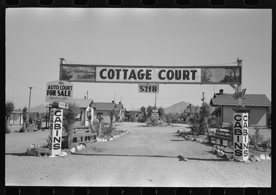
Surveyed structures

85 structures

The vanished settlements of Maricopa County, the places these records name that are no longer on the map.
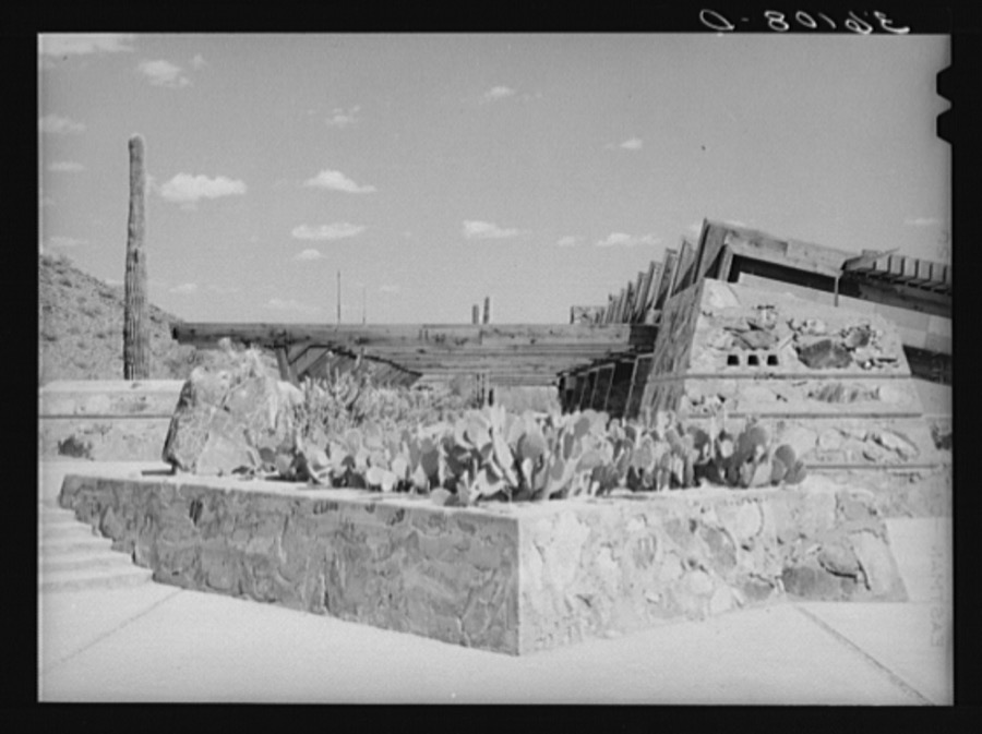
Provenance

  • Topographic sheets. USGS Historical Topographic Map Collection, county index, measured from the bulk metadata.
  • Fire insurance maps. Library of Congress Sanborn collection, faceted to this county.
  • Photographs. Each place queried individually against the Library of Congress Prints and Photographs search.
  • Wildfire. Short, Karen C. 2022. Spatial wildfire occurrence data for the United States, 1992-2020 [FPA_FOD_20221014]. 6th Edition. Fort Collins, CO: Forest Service Research Data Archive. https://doi.org/10.2737/RDS-2013-0009.6 Collected with United States Government funding and usable without additional permissions or fees.
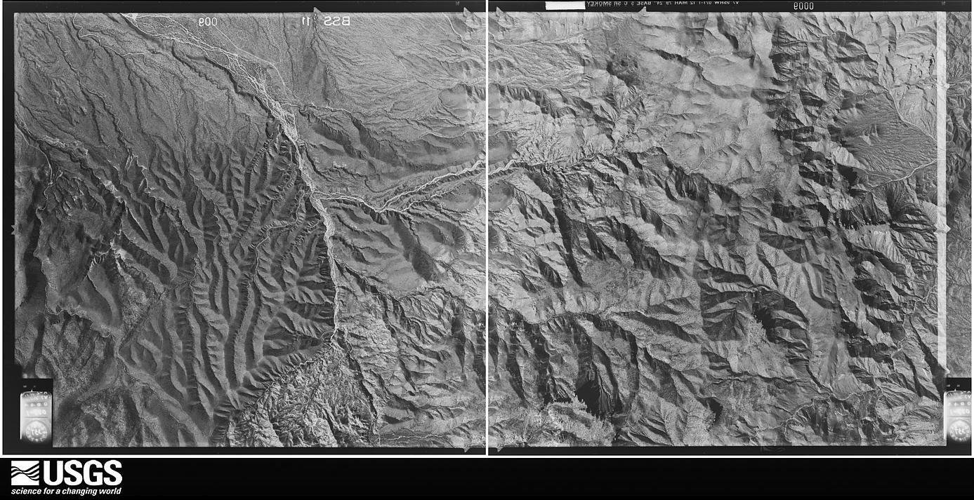
  • Mines and quarries. USGS Mineral Resources Data System (MRDS) https://mrdata.usgs.gov/mrds/ A work of the United States government, no copyright under 17 U.S.C. 105.
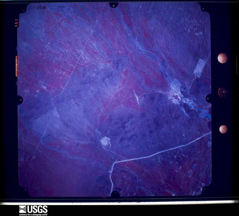
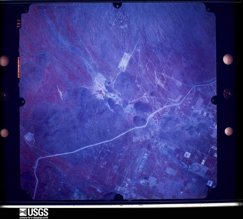
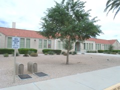
  • Storms. NOAA National Centers for Environmental Information, Storm Events Database https://www.ncei.noaa.gov/stormevents/ A work of the United States government, no copyright under 17 U.S.C. 105. Narratives are quoted verbatim from the National Weather Service report and are not edited or summarised.