 Block
Government Hill, Arizona
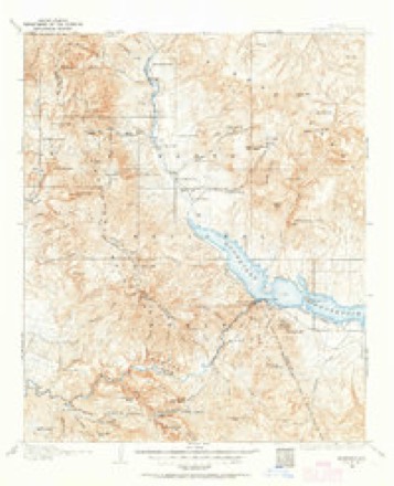
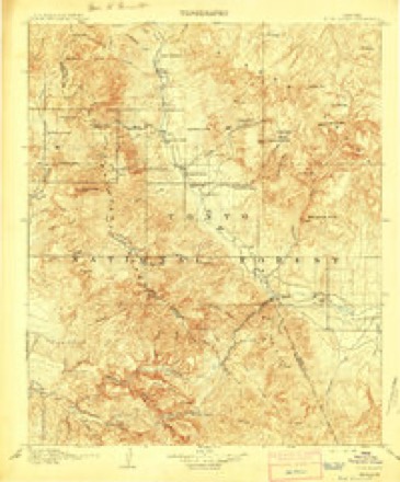
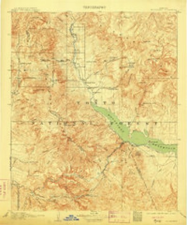
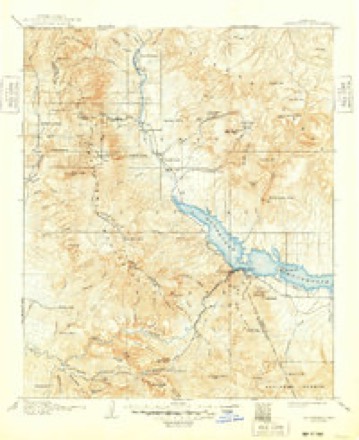
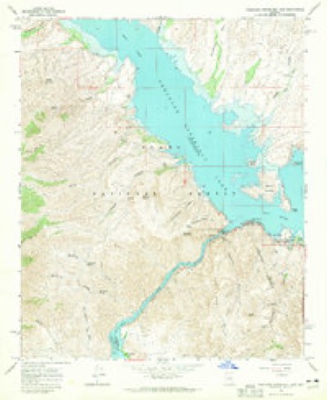
22 topographic sheets cover this place, the earliest surveyed in 1907 and the latest in 2004. It stands in the Globe-Miami census division. It lies in ZIP code area 85545. It stands on Tonto Creek. The Survey maps it on the Theodore Roosevelt Dam quadrangle.
Topographic sheets covering this place
12 surveys from 22 printed sheetsMatched by testing this settlement's coordinate against the published boundary of every sheet in the United States Geological Survey's historical collection. Each opens the scanned sheet at the Survey.
- 1907 USGS Roosevelt quadrangle1:125000, 2 printings
- 1909 USGS Four Peaks quadrangle1:125000
- 1909 USGS Roosevelt quadrangle1:125000
- 1912 USGS Roosevelt quadrangle1:125000, 4 printings
- 1954 USGS Mesa quadrangle1:250000, 4 printings
- 1957 USGS Mesa quadrangle1:250000
- 1958 USGS Mesa quadrangle1:250000
- 1960 USGS Mesa quadrangle1:250000
- 1964 USGS Mesa quadrangle1:250000
- 1964 USGS Theodore Roosevelt Dam quadrangle1:24000, 2 printings
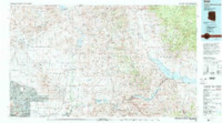
- 1994 USGS Theodore Roosevelt Lake quadrangle1:100000, 3 printings
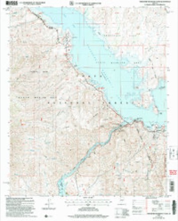
- 2004 USGS Theodore Roosevelt Dam quadrangle1:24000





Fires near this place
117 since 1992Regional context, not property-specific evidence. The federal wildfire occurrence database lists 117 fires within 5 miles of Government Hill between 1992 and 2020, burning about 1,375 acres in total. 41 started naturally. None was recorded as arson. Distance is straight-line from the map coordinates, so a fire counted here may appear on a neighbouring settlement's page as well.
| Reported cause | Fires |
|---|---|
| Natural | 41 |
| Missing data/not specified/undetermined | 29 |
| Recreation and ceremony | 18 |
| Equipment and vehicle use | 15 |
| Smoking | 5 |
| Misuse of fire by a minor | 4 |
| Fireworks | 2 |
| Debris and open burning | 2 |
| Power generation/transmission/distribution | 1 |
The most recent of them, most recent first, with the day each was reported and the service that recorded it.
| Date | Cause | Size | Reported by | Name on the report |
|---|---|---|---|---|
| 8 September 2017 | Natural | 231 acres | Tonto National Forest | YELLOW JACKET |
| 25 September 2017 | Equipment and vehicle use | under an acre | Tonto National Forest | BOAT |
| 22 September 1995 | Missing data/not specified/undetermined | under an acre | Tonto National Forest | BACHELOR |
| 11 September 1995 | Missing data/not specified/undetermined | under an acre | Tonto National Monument | NATIONAL |
| 11 September 1995 | Missing data/not specified/undetermined | under an acre | Tonto National Forest | NATIONAL |
| 9 August 1993 | Natural | 23 acres | Tonto National Forest | not named |
| 8 August 1997 | Natural | under an acre | Tonto National Forest | GEPHART |
| 8 August 1995 | Natural | under an acre | Tonto National Forest | BUCKING |
Settlements close enough to share some of these fires:
Mines and quarries near this place
7 within 5 milesRegional context, not property-specific evidence. The federal mineral resources record lists 7 workings within 5 miles of Government Hill: 2 past producers, 2 unknowns, 2 prospects, 1 occurrence. None of them still produces. What was taken out: Sand and Gravel, Construction, Zeolites, Gold, Copper. Distance is straight-line from the map coordinates, so a quarry counted here may appear on a neighbouring settlement's page as well.
| Where | Site | Commodity | Status | Recorded |
|---|---|---|---|---|
| Christmas Gift M S 4587 | Gold | Past Producer | ||
| Pinnacle Claims | Copper | Prospect | ||
| Roosevelt Lake Phillipsite | Zeolites | Occurrence | Phillipsite | |
| Roosevelt Lake Phillipsite | Zeolites | Prospect | ||
| Gravel Pit | Sand and Gravel, Construction | Unknown | ||
| Gravel Pit | Sand and Gravel, Construction | Unknown | ||
| Gravel Pit | Sand and Gravel, Construction | Past Producer |
Storms near this place
6 since 2008Regional context, not property-specific evidence. The National Weather Service names Government Hill in 6 storm reports between 2008 and 2021: 3 flash flood, 1 thunderstorm wind, 1 flood, 1 debris flow. No death or injury is recorded in these reports. Each account below is quoted exactly as the forecast office filed it, from the NOAA Storm Events Database, and each date opens the federal record of that event.
| When | Event | Place named | Harm | What the report says |
|---|---|---|---|---|
| September 2019 | Thunderstorm Wind | Government Hill | $60,000 | Scattered thunderstorms developed across the higher terrain northeast of Phoenix during the afternoon hours on September 1st. Some of the stronger storms generated gusty and damaging outflow winds that impacted the Lake Roosevelt area. According to the Gila County Sheriff's Office, at 1607MST gusty winds estimated to be at least 65 mph in strength caused 3 boats to sink on Lake Roosevelt. Fortunately there were no reports of injuries. |
| July 2020 | Debris Flow | Government Hill | $50,000 | Debris flow pushed over State Route 188 and into Roosevelt Lake in Gila county after a radar estimated 1.5-3 inches of rain fell over a portion of the 2020 Bush Fire burn scar. The debris flow was near mile post 253 and led to the closing of a 13 mile stretch of SR-188 in order for heavy equipment to remove roughly 20,000 cubic yards of sediment and boulders and to repair guard rails on both sides of the road. It was determined through collaboration between NWS and Arizona Geological Survey (AZGS) that this event was classified as debris flow. For information only, labor costs, fuel costs, and costs to remove the sediment and reopen the road, in addition to the property damage, was estimated around $500,000 for this and the other event location. |
| February 2020 | Flood | Government Hill | $5,000 | A strong upper level low pressure system spread copious amounts of moisture into south-central Arizona on Saturday February 22nd; this lead to widespread moderate to heavy rain across the high terrain to the northeast of Phoenix. Significant amounts of rain fell in the Tonto Creek basin with gage reports in the area measuring as high as 3 inches during the event. This led to areal flooding in the basin which resulted in several low water crossings becoming inundated. At 1303MST local law enforcement reported a cross road at Tonto Creek closed due to flooding. Later in the afternoon, at about 1713MST, law enforcement reported that the Bar X crossing at Tonto Creek was closed due to the flooding. Both closures were reported by GCSO. In addition, the AHAPS stream gage called Tonto Creek at Roosevelt measured flow significantly above action stage on Saturday, and the elevated flow continued into the middle of the following week. An Areal Flood Warning was issued due to the elevated streamflow. Flow above action stage results in flooding of several low water crossings in the creek. |
| July 2021 | Flash Flood | Government Hill | - | Arizona Department of Transportation closed Highway-188 between mile posts 246 and 253 due to flooding with an overtopped drainage cut and debris on the road. Runoff may have been enhanced by the 2020 Bush burn scar. Timing estimated from radar. No damages or injuries were reported. |
| February 2019 | Flash Flood | Government Hill | - | Significant rain fell over portions of Southern Gila County and northeast Maricopa County as well as further to the north over higher terrain of central Arizona. Runoff from the heavy rain eventually drained south and into the Tonto Basin affecting Tonto Creek to the north of Lake Roosevelt. According to observations from a USGS stream gage along Tonto Creek, there was a rapid rise in water which quickly caused flow to exceed the NWS alarm stage. The heavy flow in Tonto Creek caused several low water crossings in the Tonto Basin to become closed and a Flash Flood Warning was issued due to the quickly rising water. Fortunately there were no reports of accidents or injury due to the flash flooding. |
| August 2008 | Flash Flood | Government Hill | - | Flooding reported on route 188. One spotter in Roosevelt observed one inch of rain in only 15 minutes. |
Nearest settlements
The eight closest, with where each one stands in the county. Distances are straight-line, computed from the Geographic Names Information System coordinates.
| Map | Place | Distance | Sheets |
|---|---|---|---|
| Roosevelt | 1.0 miles | 22 | |
| Grapevine | 5.6 miles | 23 | |
| Roosevelt Estates | 8.4 miles | 23 | |
| Roosevelt Lake Estates | 8.6 miles | 23 | |
| Roosevelt Resort | 9.4 miles | 17 | |
| Willow | 9.5 miles | 17 | |
| Roosevelt Lake Gardens East | 11.8 miles | 22 | |
| Tonto Basin | 13.3 miles | 22 |
Provenance
This settlement is recorded in the Geographic Names Information System as feature 29439. The sheet list is computed by point-in-boundary test against the United States Geological Survey's historical topographic inventory. Both are works of the United States government and carry no copyright under 17 U.S.C. 105.
Wildfire. Short, Karen C. 2022. Spatial wildfire occurrence data for the United States, 1992-2020 [FPA_FOD_20221014]. 6th Edition. Fort Collins, CO: Forest Service Research Data Archive. https://doi.org/10.2737/RDS-2013-0009.6 Collected with United States Government funding and usable without additional permissions or fees.
Mines and quarries. USGS Mineral Resources Data System (MRDS) https://mrdata.usgs.gov/mrds/ A work of the United States government, no copyright under 17 U.S.C. 105.
Storms. NOAA National Centers for Environmental Information, Storm Events Database https://www.ncei.noaa.gov/stormevents/ A work of the United States government, no copyright under 17 U.S.C. 105. Narratives are quoted verbatim from the National Weather Service report and are not edited or summarised.