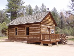
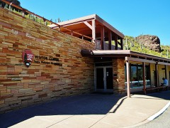
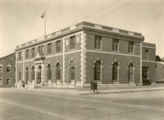
Block
From the record
43 National Register listings published here.
Sources: the National Register database, National Park Service
245 topographic sheets and 18 fire insurance atlases across 4 places.
43 National Register listings published here.
Sources: the National Register database, National Park Service
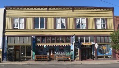
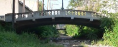
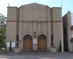
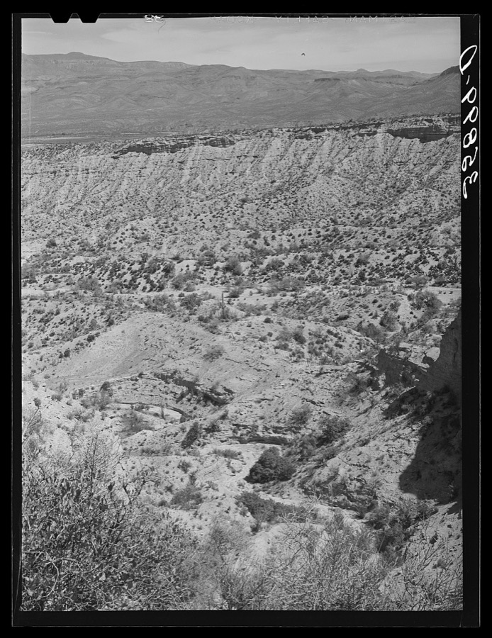
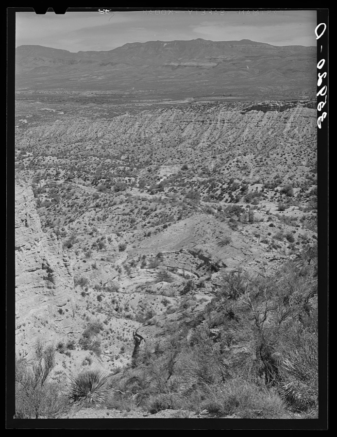
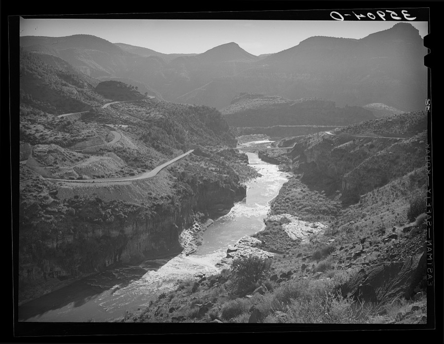
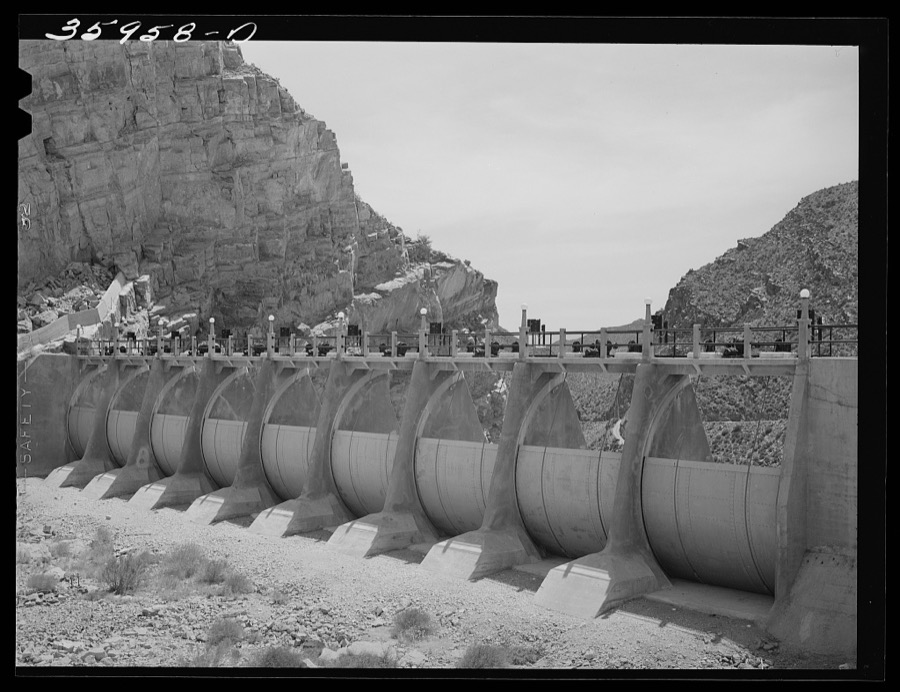
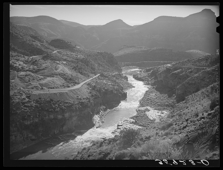
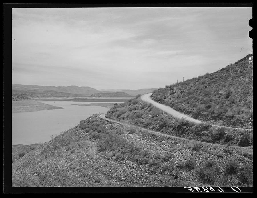
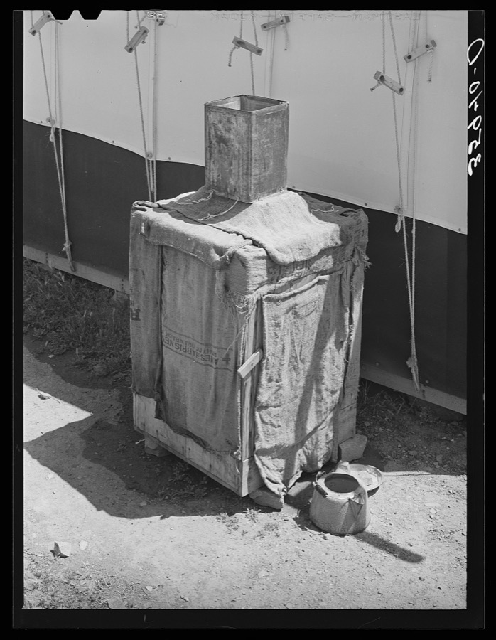
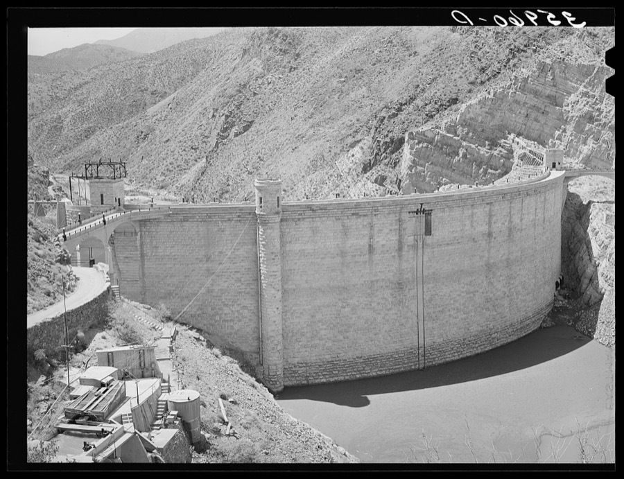
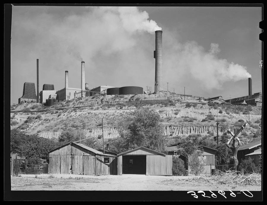
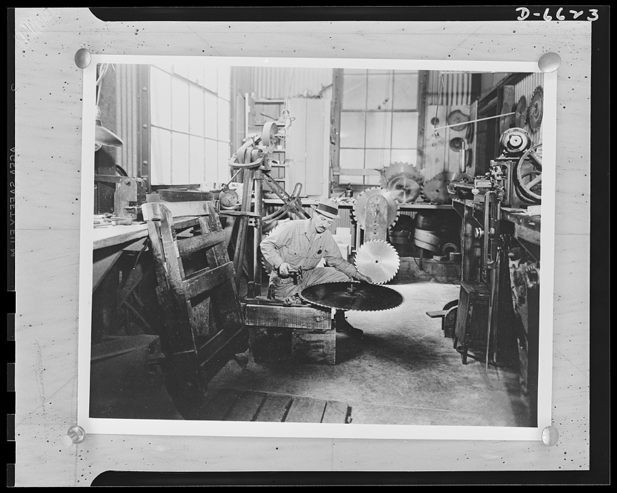
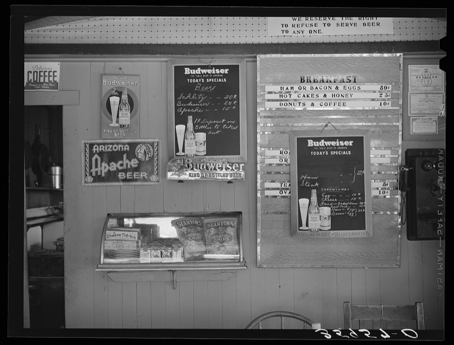
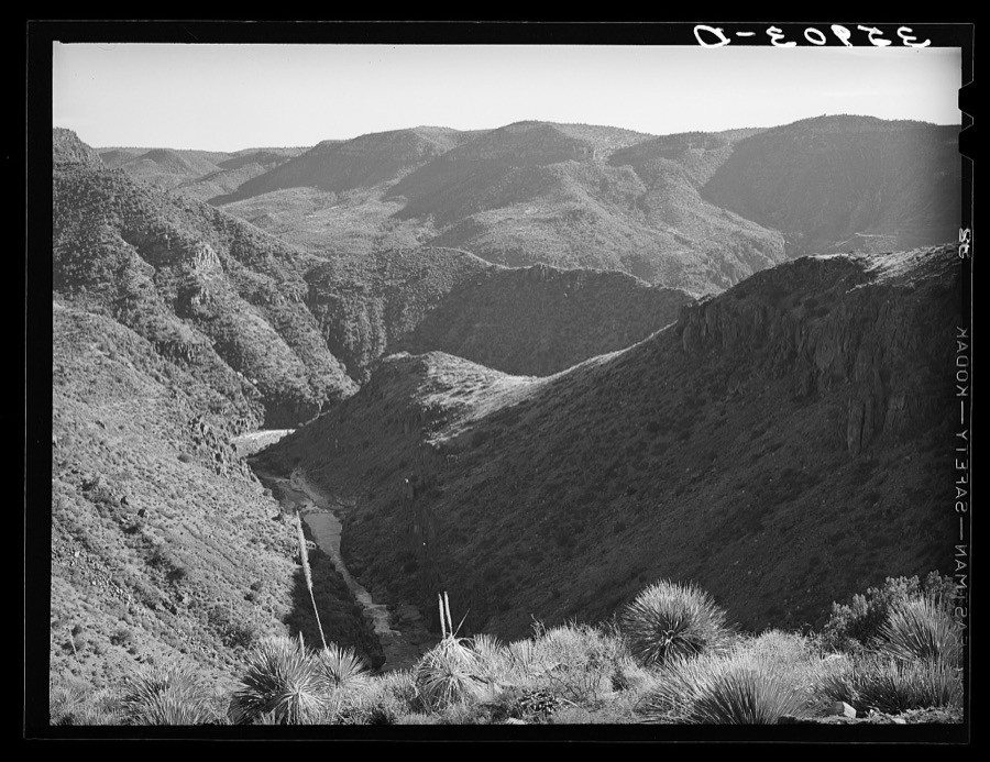
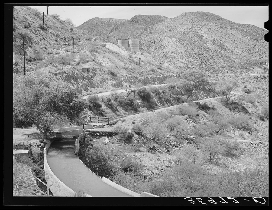
Taken for the Office of War Information and the Farm Security Administration, who photographed the country between 1935 and 1944. Works of United States government photographers, with no known restriction on use. Each opens its catalogue record.
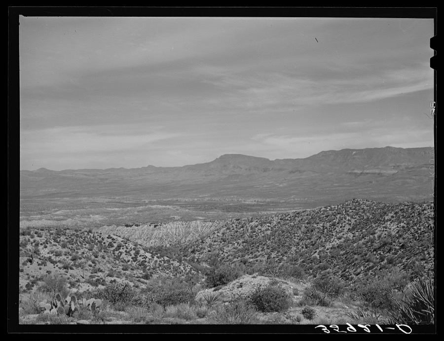
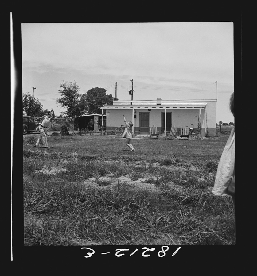
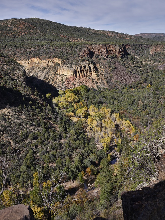
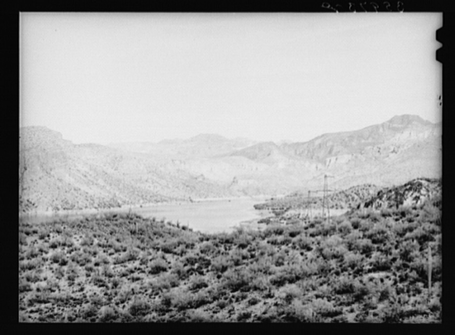
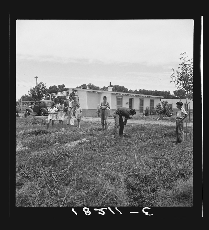
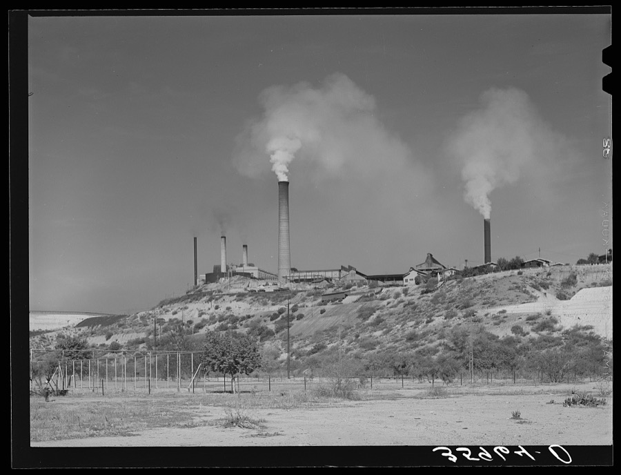
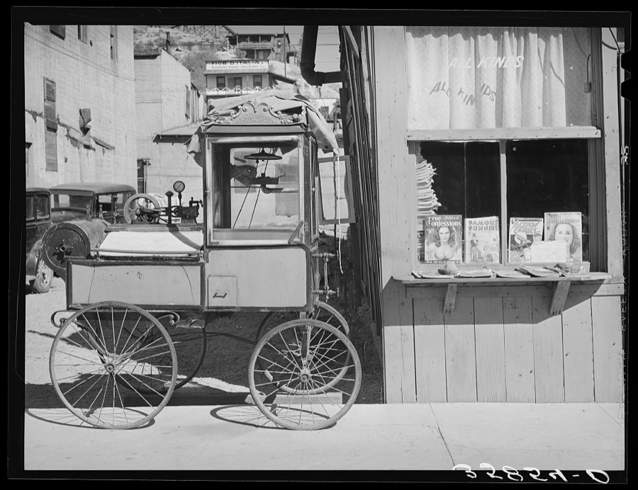
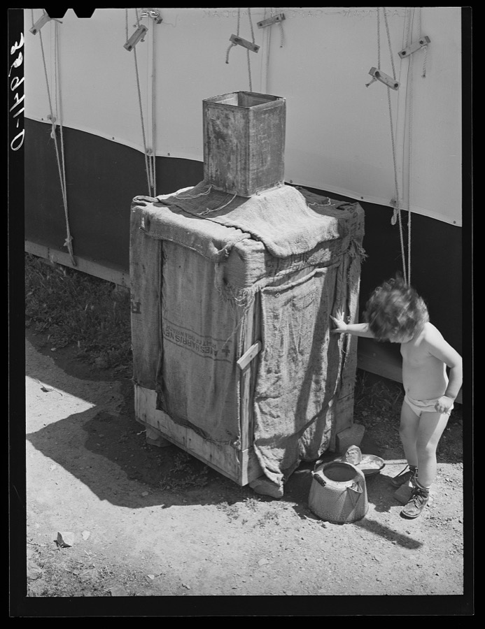
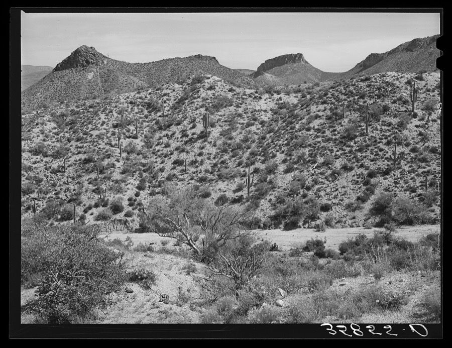
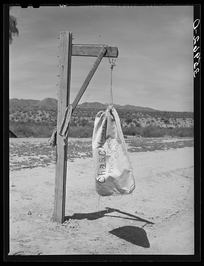
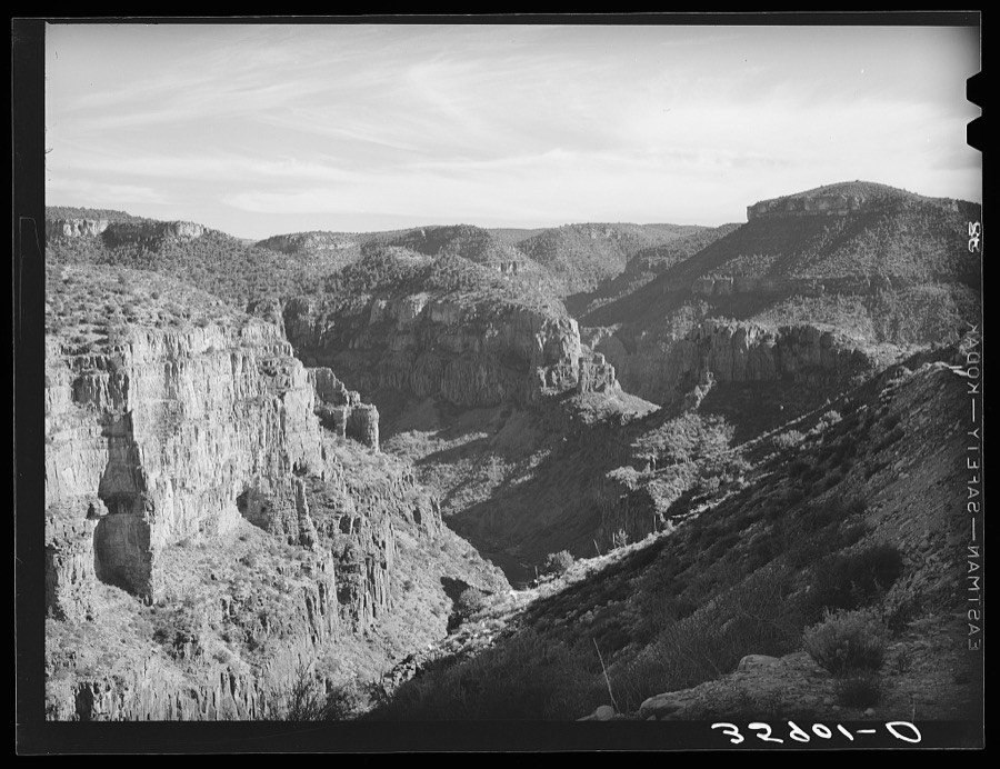
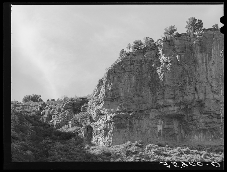
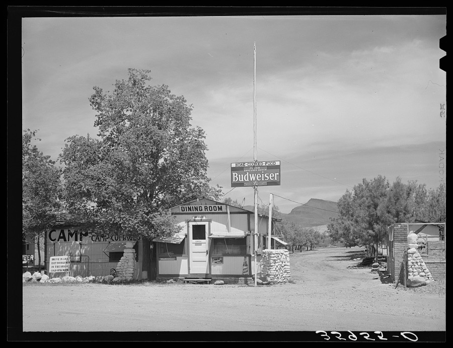
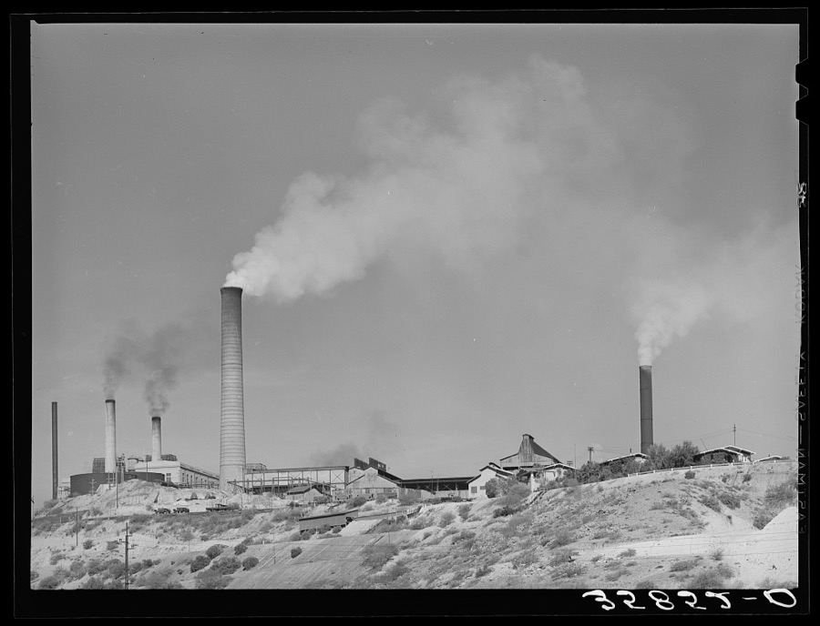
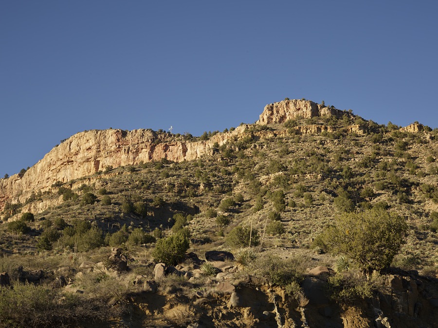
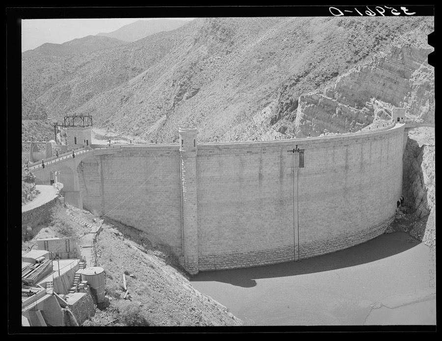
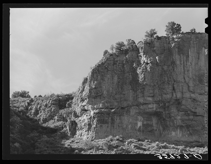
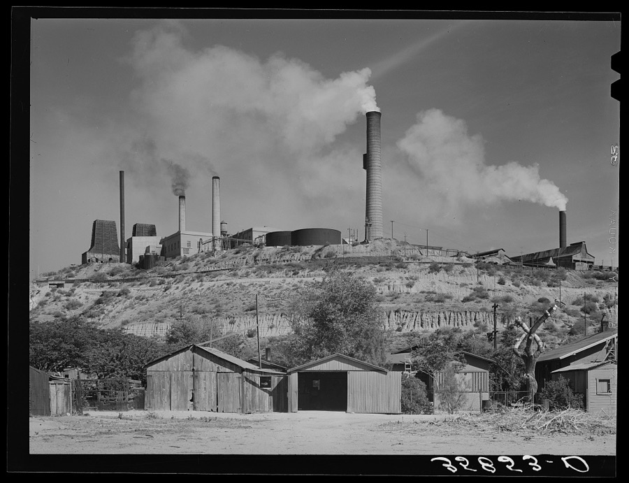
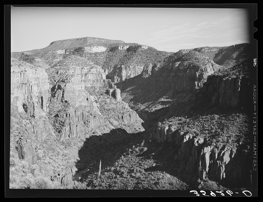
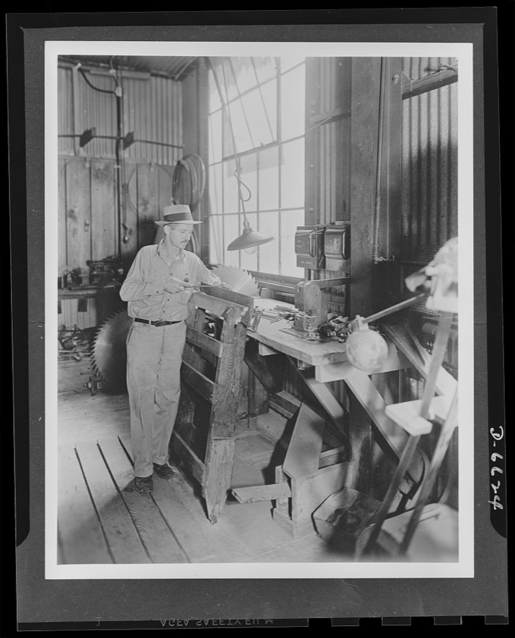
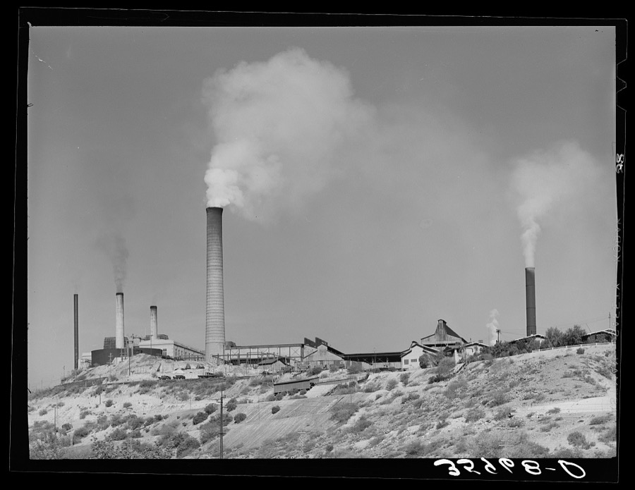
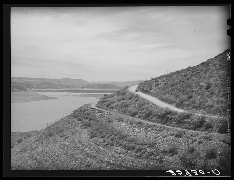
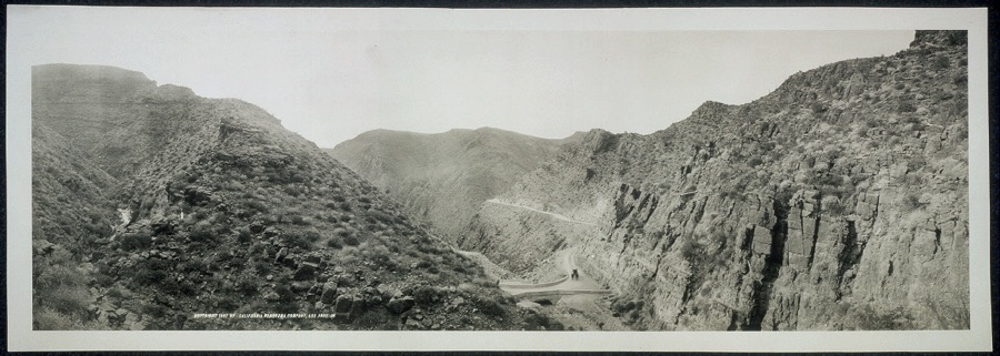
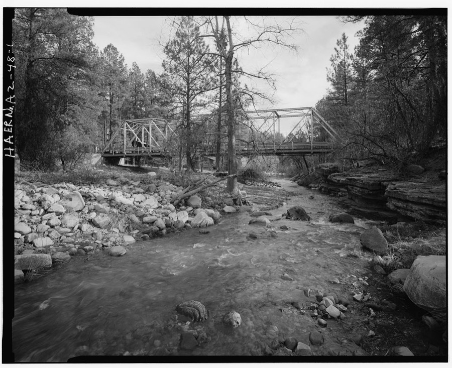
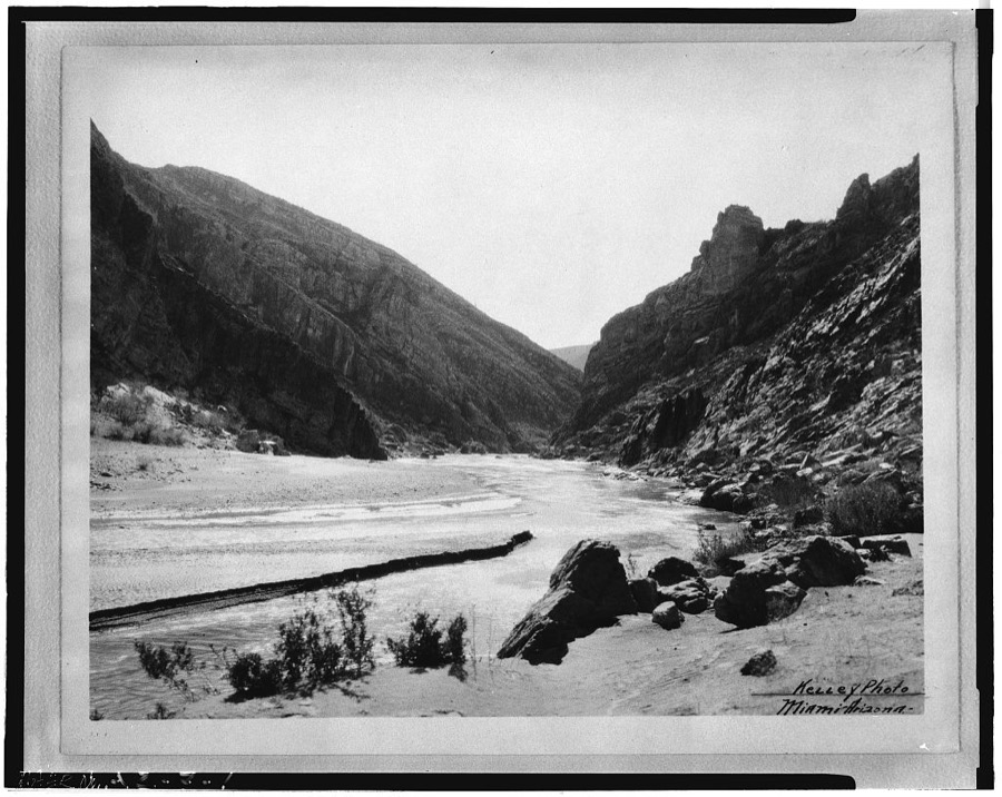
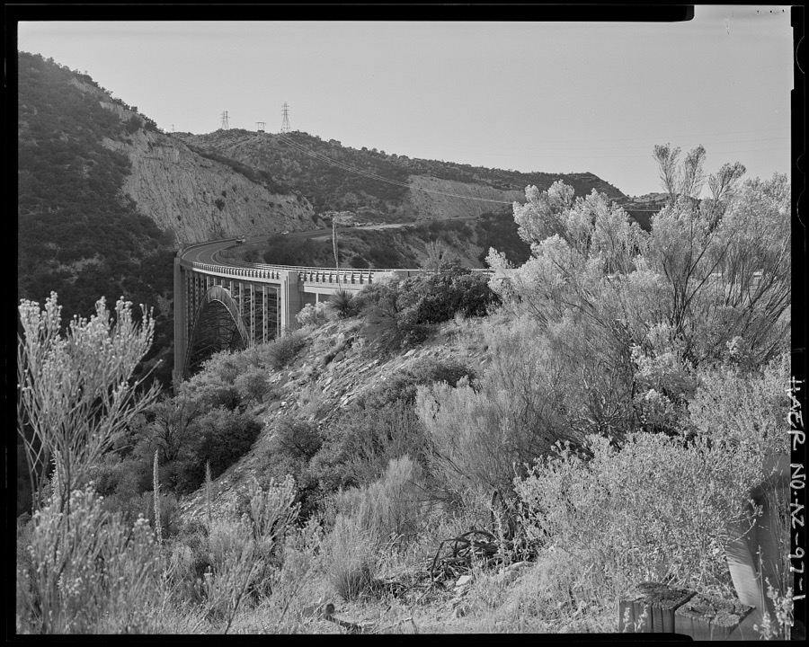
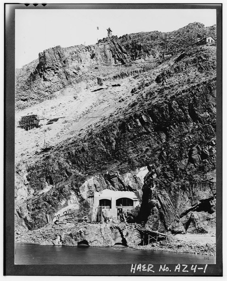
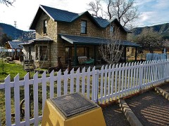
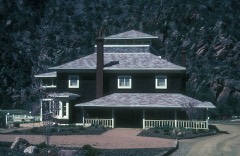
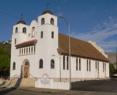
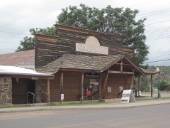
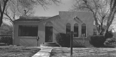
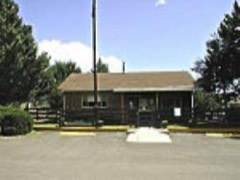
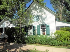
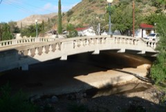
Every property in this county listed on the National Register of Historic Places, with the year it was listed and the federal nomination document.
Sampled issues, machine-read from the Library of Congress scan and published page by page, so every headline and column is searchable text.
Globe, Gila County, Ariz., 1906 to 1929. Machine-read from the Library of Congress scan.
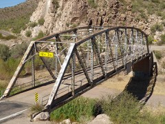
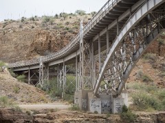
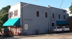
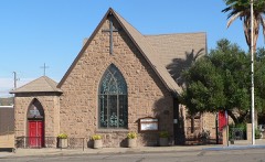
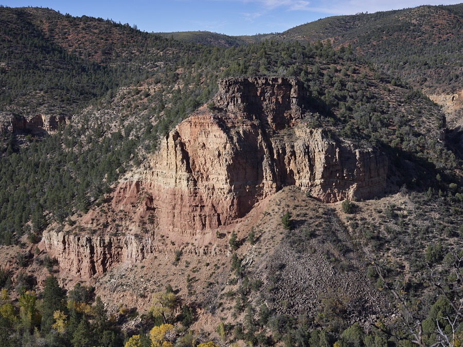
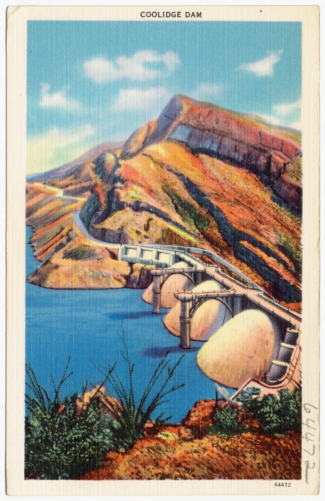
Selected from the Digital Public Library of America's 11 image records catalogued for this county. Every one shown here carries a public-domain status or a licence that permits reuse on a site that carries advertising; non-commercial, share-alike and restricted images are excluded. The selection is spread across the county's towns (at most eight per town), so no single institution's bulk upload crowds out the rest. Each opens the holding library's record, and the complete set at the Digital Public Library of America is one click away.
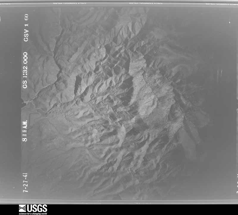
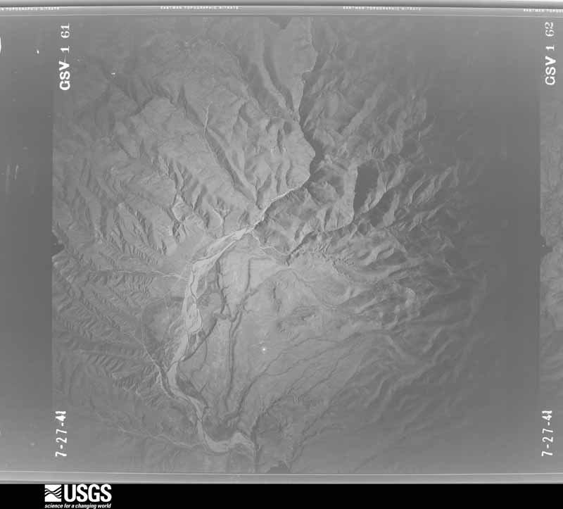
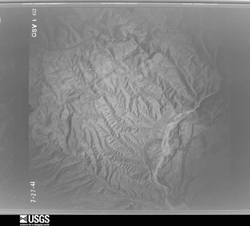
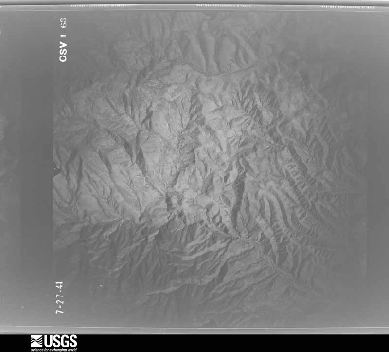
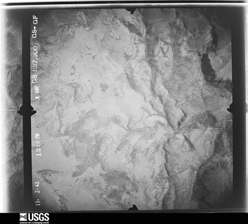
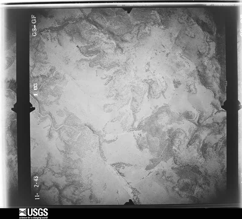
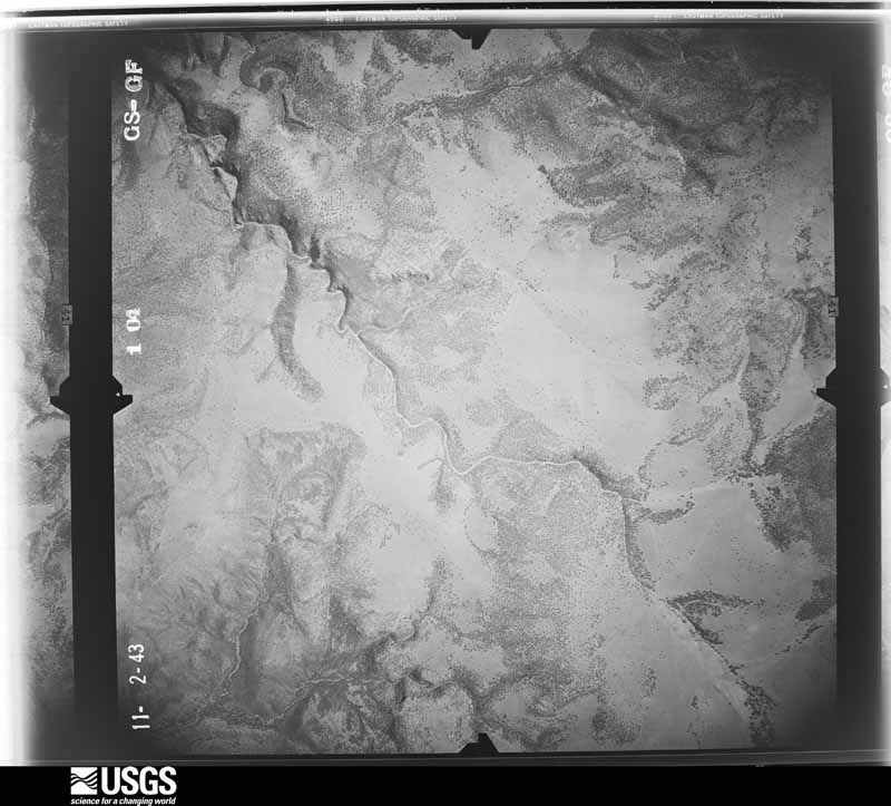
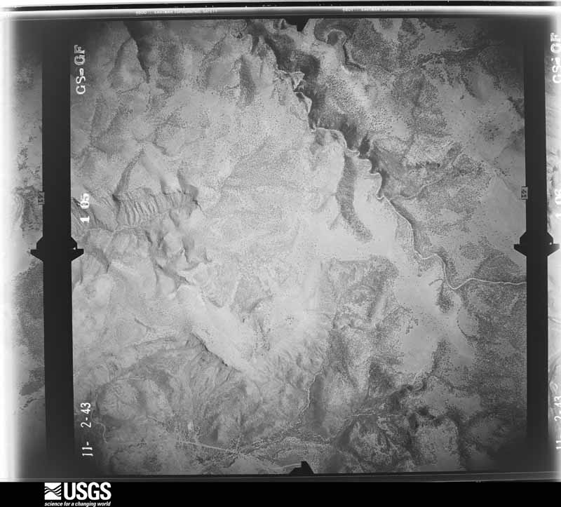
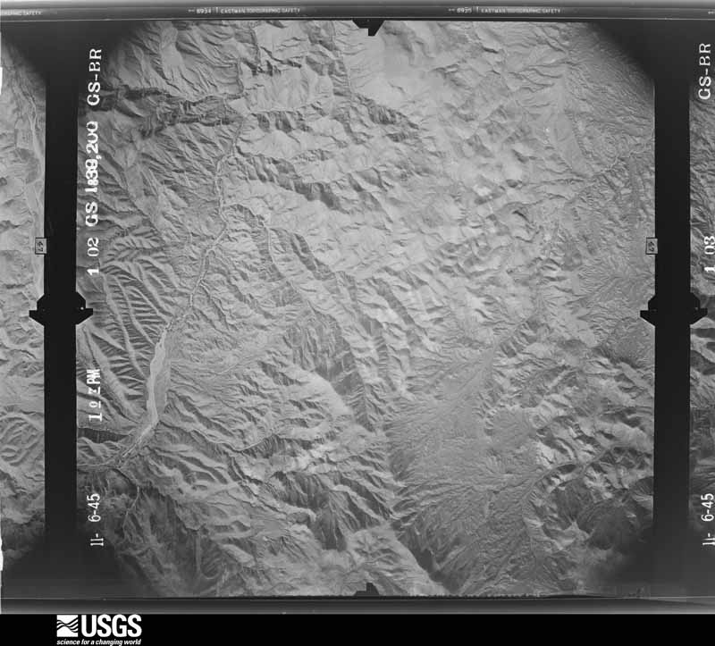
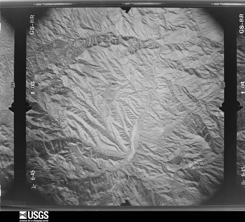
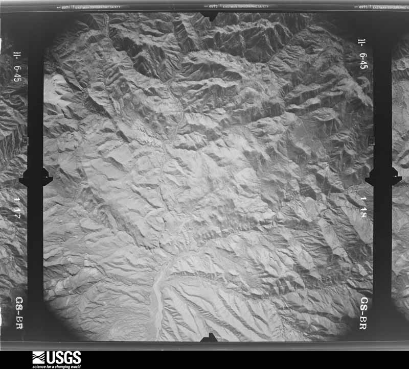
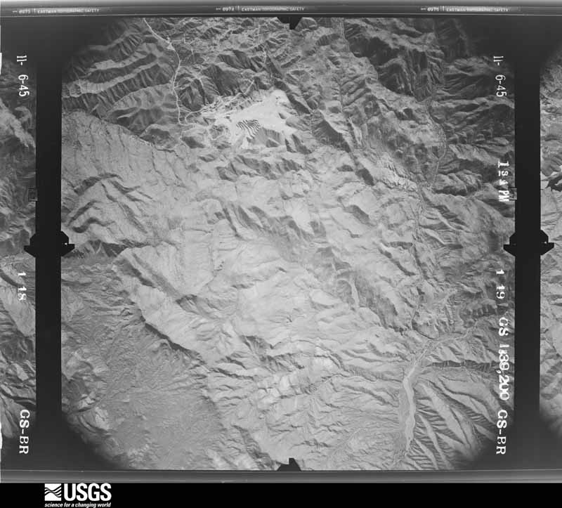
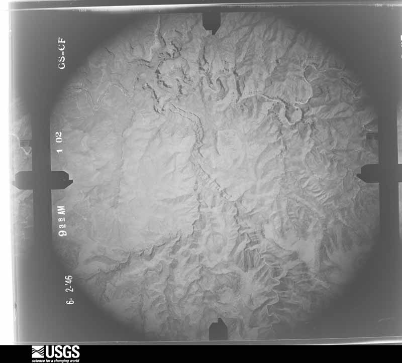
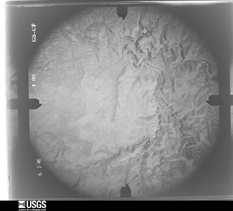
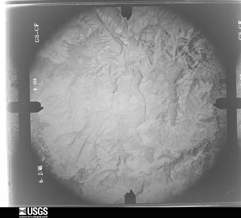
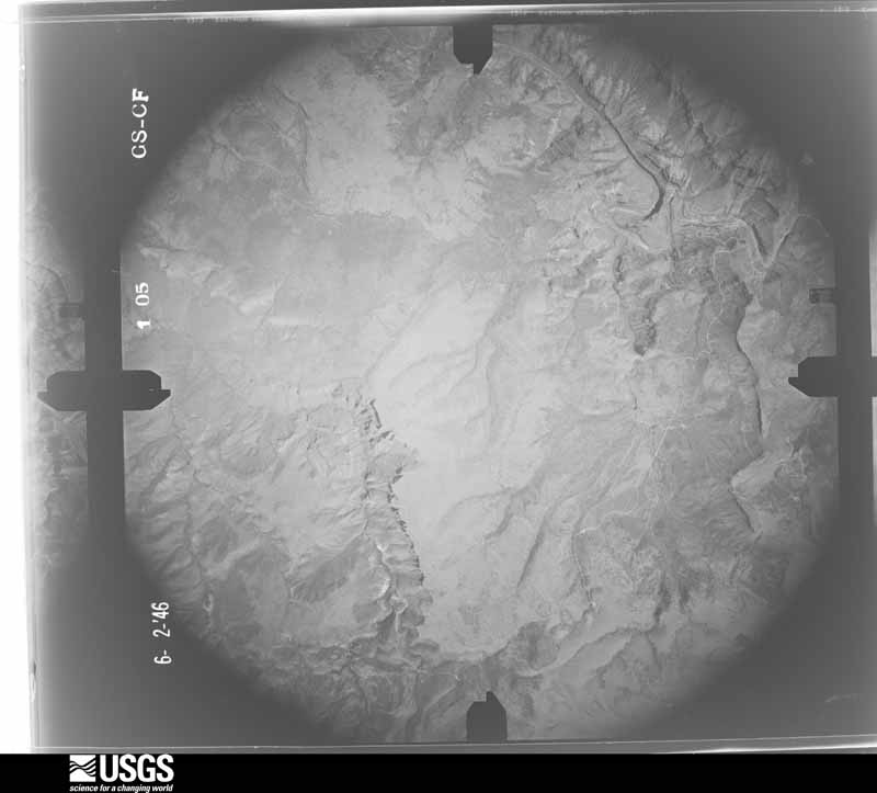
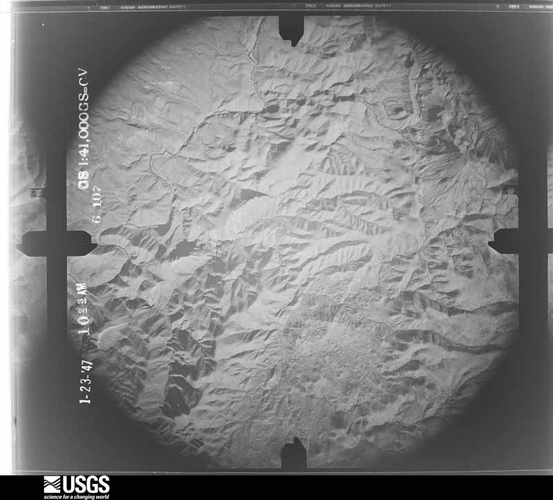
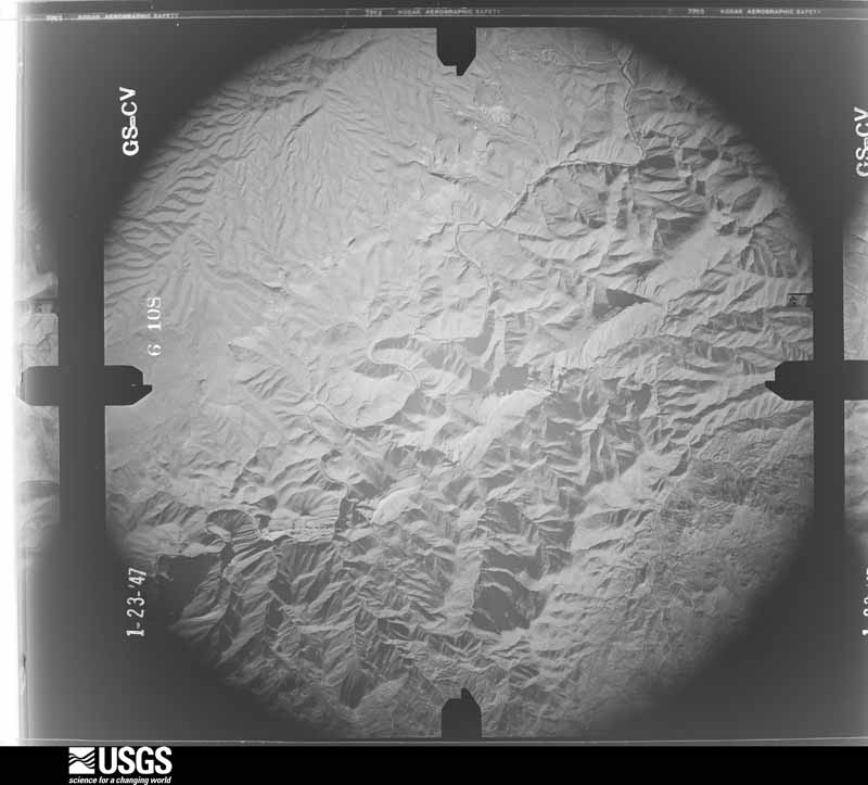
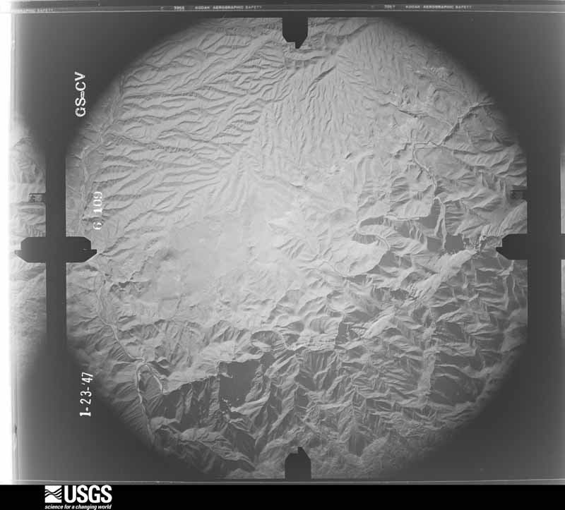
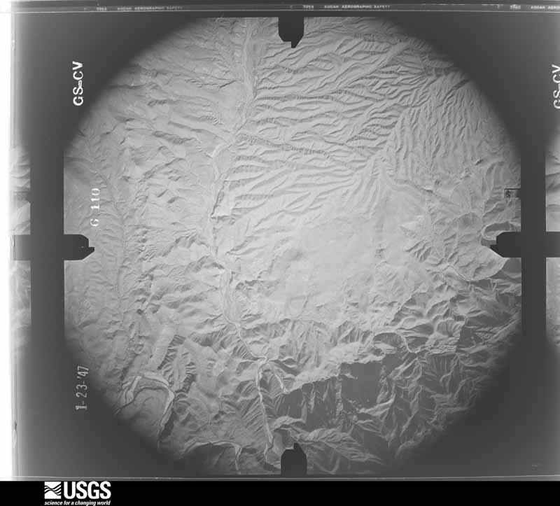
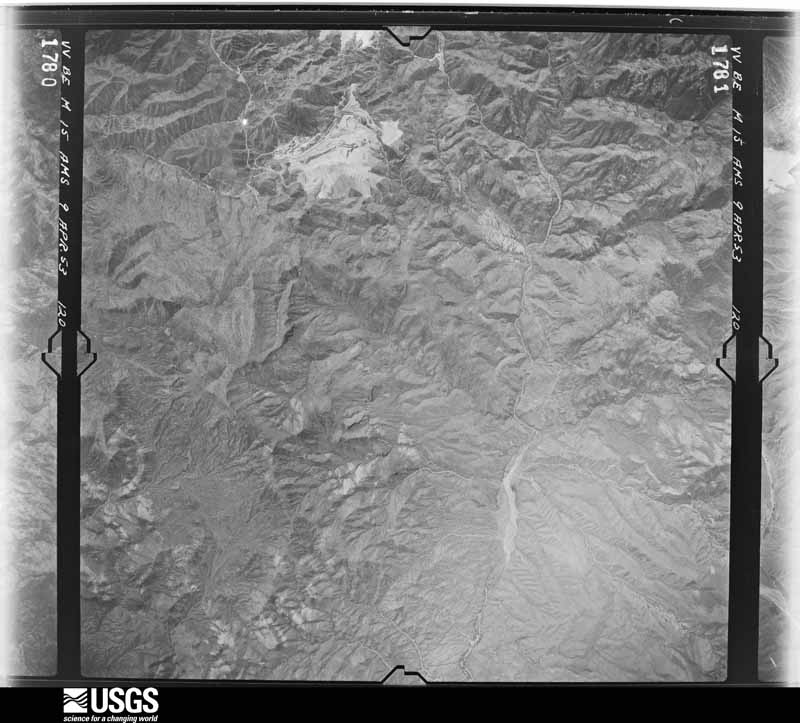
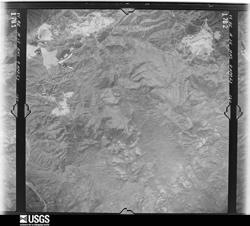
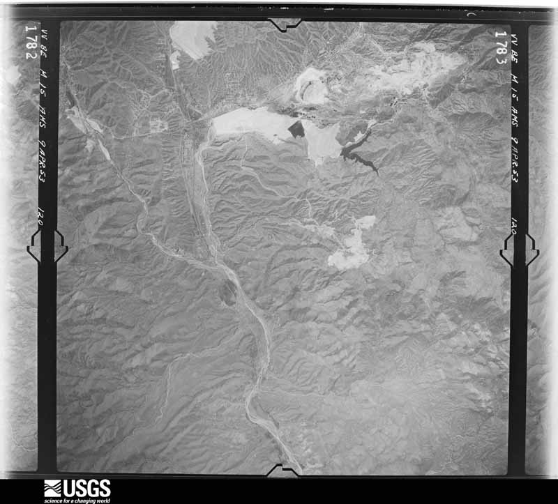
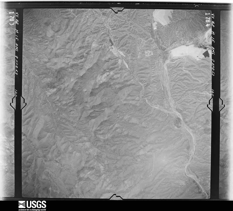
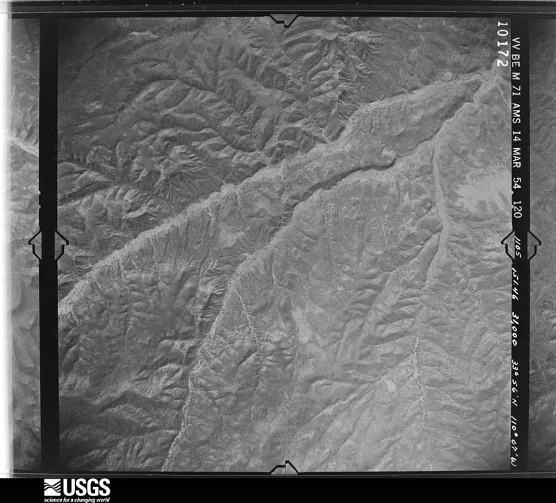
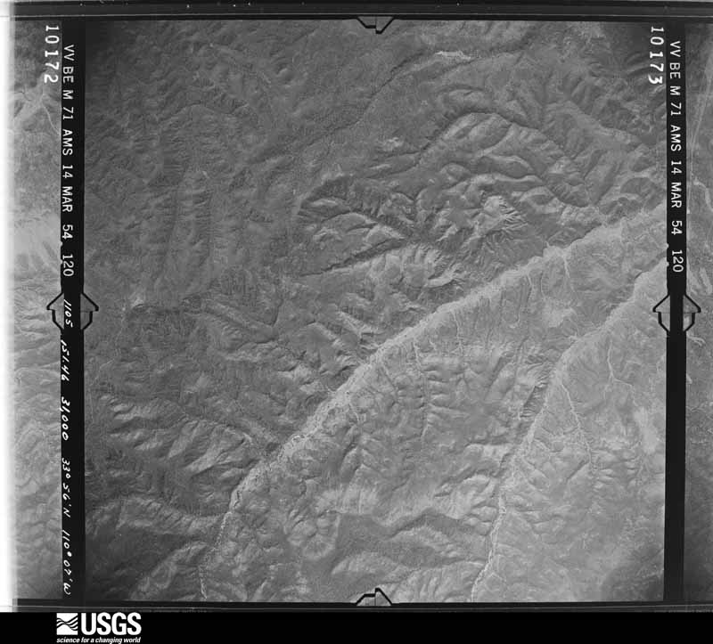
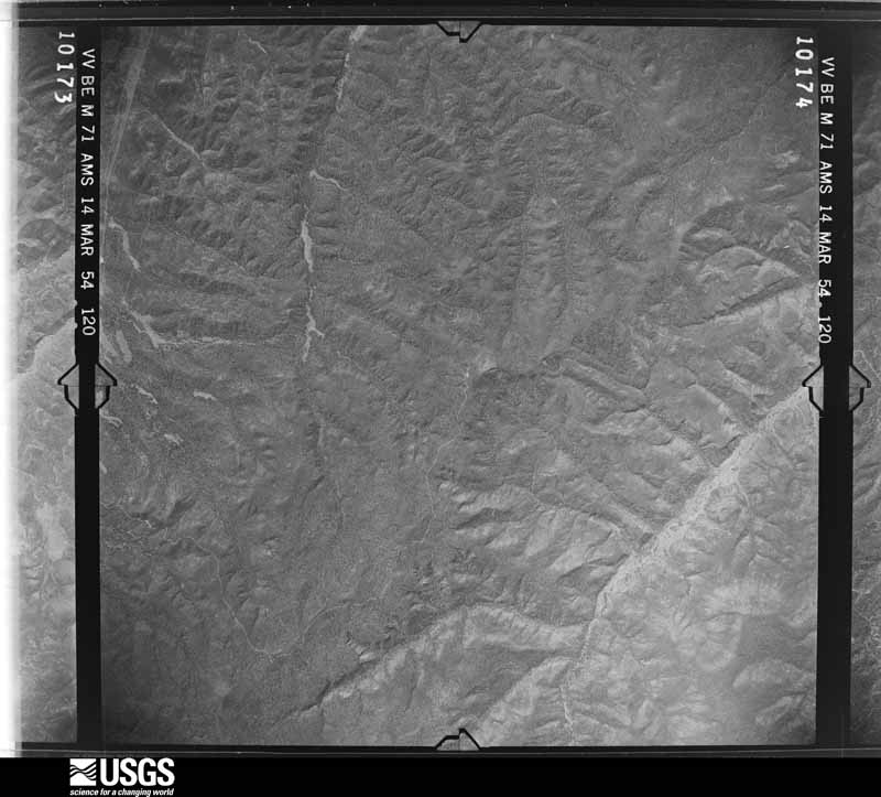
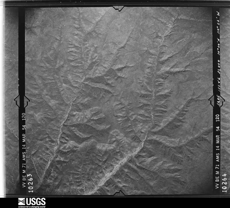
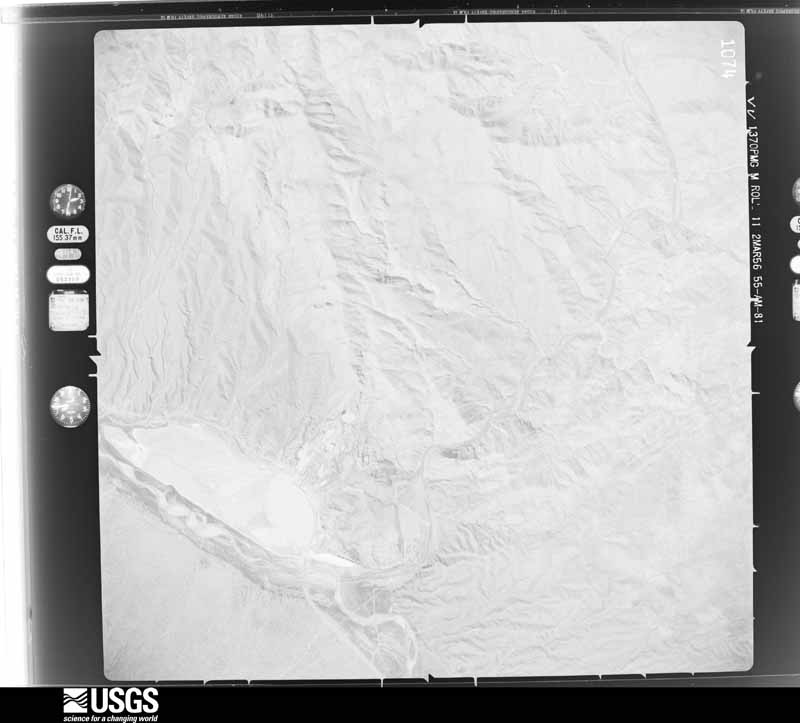
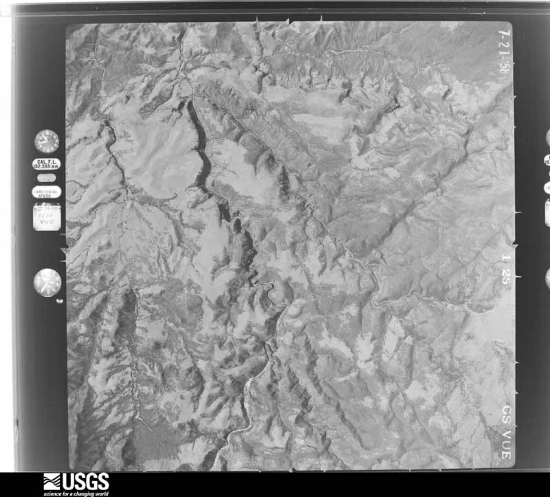
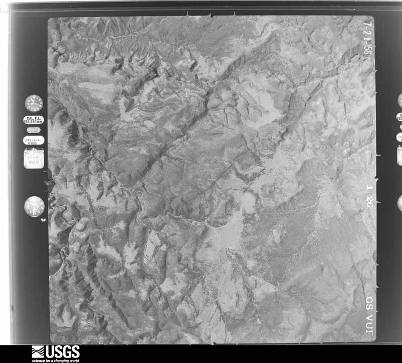
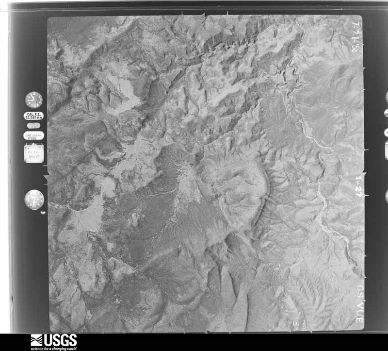
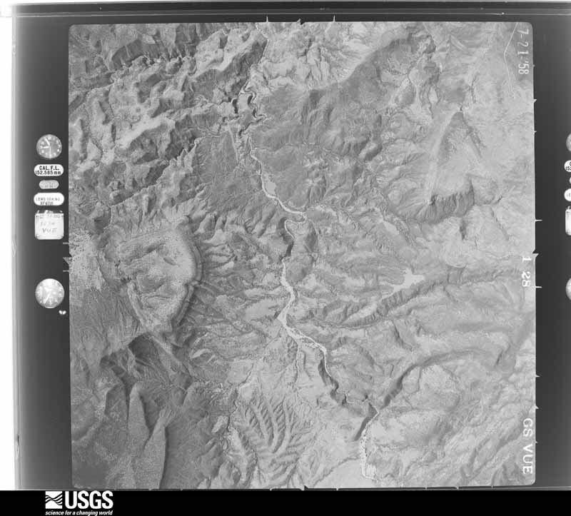
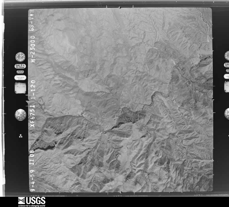
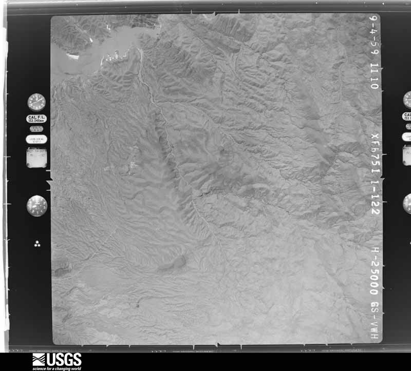
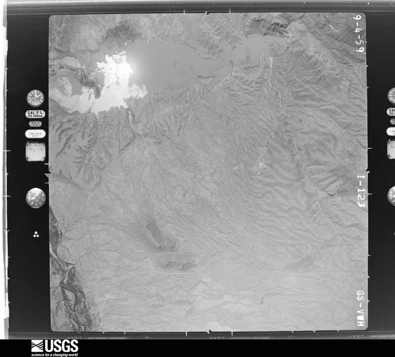
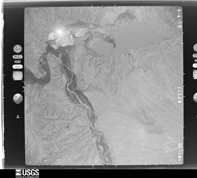
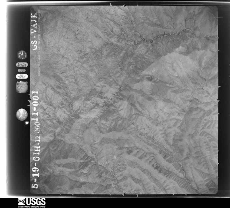
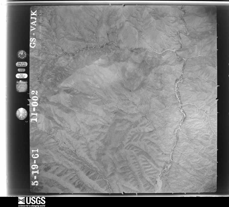
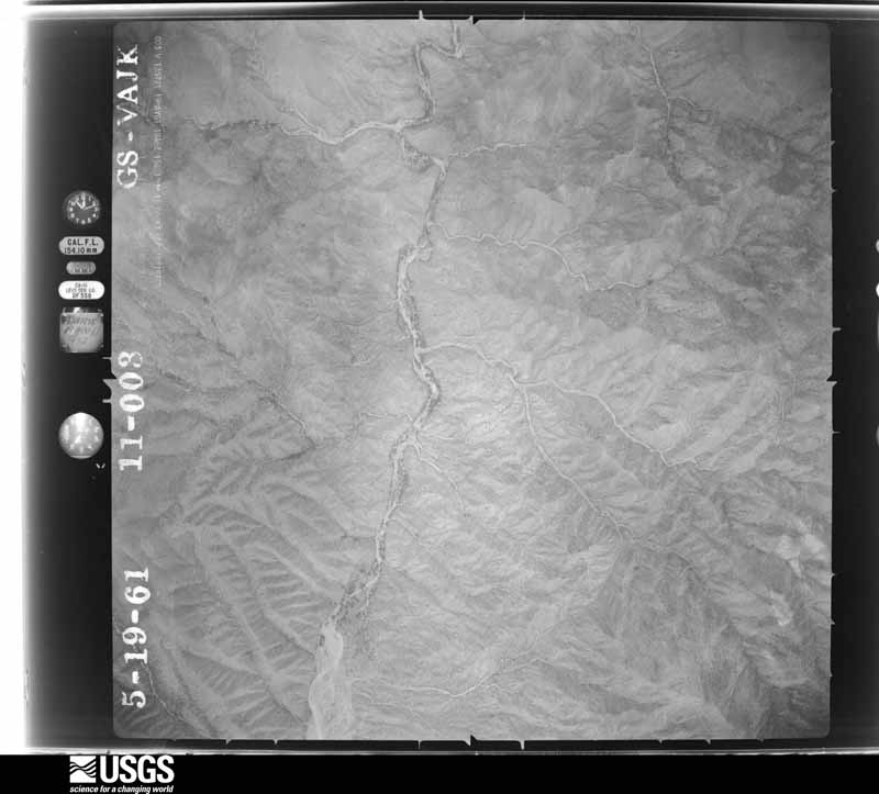
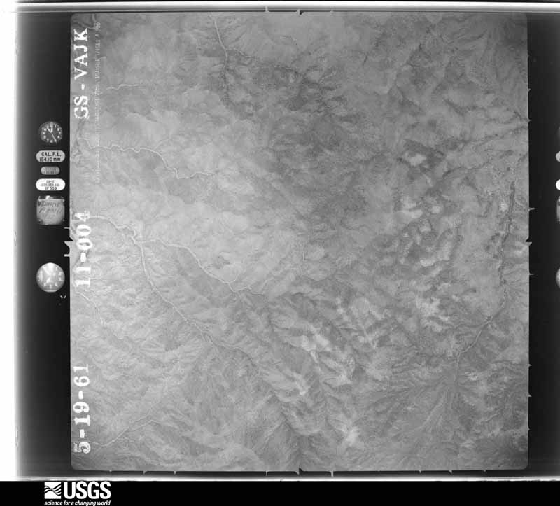
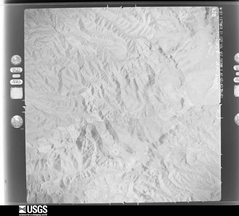
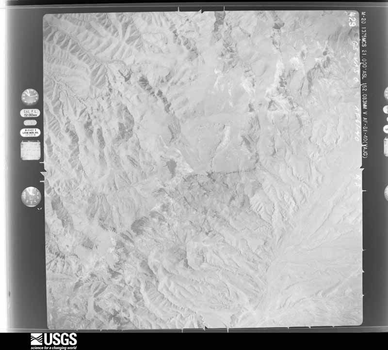
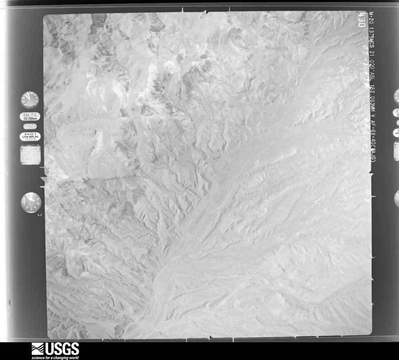
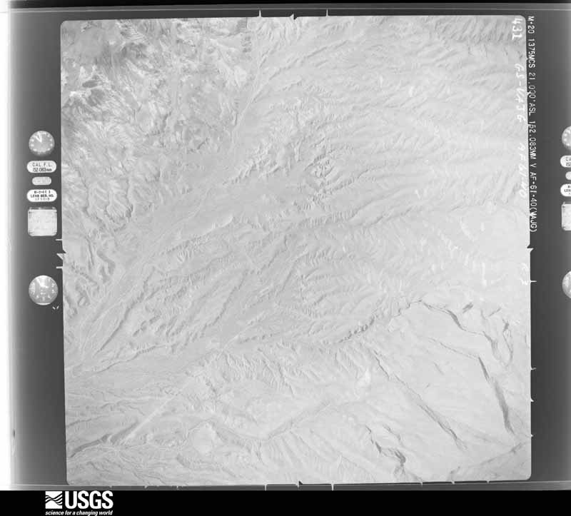
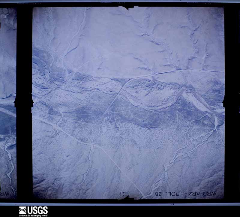
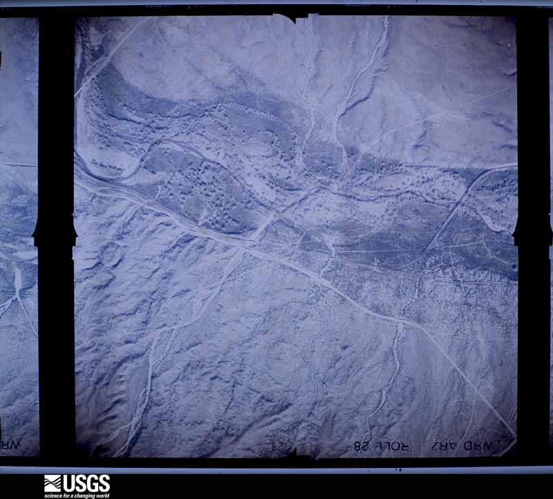
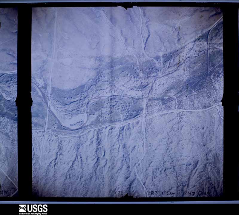
Flown by the U.S. Geological Survey between 1937 and 1989, the Aerial Photo Single Frames collection is the definitive mid-century view of the land: fields, roads and rivers as the camera saw them. The Survey holds 14,205 frames inside the rectangle that bounds this county; the 48 frames below were taken over the county itself, chosen across the decades of flights (at most four a year from that rectangle), so one flight cannot crowd out the rest. The full set is free to browse and download at EarthExplorer under the dataset Aerial Photo Single Frames.
The thermometers that kept this county's weather, and the gages that measured the flow of its streams, as the federal records hold them. The extremes below are measured values from those records, not estimates.
Who lived here in 1950, one enumeration district at a time, as the Census Bureau described each district. Each row opens its official National Archives result, with Population Schedules and ED Maps available there.
Every wildfire the federal occurrence database records inside this county: 11,010 of them, burning about 611,911 acres. 3,777 started naturally and 2,369 were recorded as arson. Each settlement page carries the fires within five miles of it.
| Reported cause | Fires |
|---|---|
| Natural | 3777 |
| Arson/incendiarism | 2369 |
| Missing data/not specified/undetermined | 2126 |
| Misuse of fire by a minor | 873 |
| Debris and open burning | 645 |
| Recreation and ceremony | 437 |
| Equipment and vehicle use | 355 |
| Smoking | 264 |
| Fireworks | 79 |
| Power generation/transmission/distribution | 38 |
| Other causes | 24 |
| Railroad operations and maintenance | 21 |
| Firearms and explosives use | 2 |
The five largest, by the area the report gives. None of them was recorded as arson.
| Date | Cause | Size | Reported by | Name on the report |
|---|---|---|---|---|
| 17 August 2020 | Natural | 61,821 acres | Tonto National Forest | GRIFFIN |
| 27 April 1996 | Recreation and ceremony | 58,960 acres | Tonto National Forest | LONE |
| 25 June 2017 | Natural | 33,826 acres | San Carlos Agency | HILLTOP |
| 16 June 2015 | Natural | 33,633 acres | San Carlos Agency | WHITETAIL |
| 20 May 2016 | Natural | 30,641 acres | Tonto National Forest | JUNIPER |
| 5 June 2020 | Natural | 30,408 acres | San Carlos Agency | BLUE RIVER |
| 13 July 2020 | Natural | 28,051 acres | San Carlos Agency | BLUE RIVER 2 |
| 13 July 2003 | Natural | 24,109 acres | Fort Apache Agency | KINISHBA |
Every settlement page carries the fires within five miles of it - see the settlement index below.
The NOAA Storm Events Database holds 536 reports for this county, causing 28 deaths, 20 injuries and about $79,305,500 in recorded property damage. Each settlement page carries the reports that name it.
| Kind of event | Reports |
|---|---|
| Flash Flood | 231 |
| Thunderstorm Wind | 91 |
| Heavy Rain | 89 |
| Hail | 74 |
| Flood | 22 |
| Lightning | 9 |
| Wildfire | 7 |
| Tornado | 4 |
| Dust Devil | 3 |
| Funnel Cloud | 3 |
| Debris Flow | 3 |
The most serious of them, by death, then injury, then recorded damage. The accounts are quoted exactly as the forecast office filed them.
| When | Event | Place named | Harm | What the report says |
|---|---|---|---|---|
| July 2017 | Flash Flood | Washington Park | 10 killed | Very heavy rain over the Highland Fire scar and surrounding areas produced flash flooding in Ellison Creek which flows into the East Verde River. This is a very popular swimming area during the summer. Ten people were killed by the flooding (ages 2 to 57). Four people were rescued by helicopter after they were trapped in trees. |
| June 1990 | Thunderstorm Wind | not stated | 6 killed | no account filed |
| September 2025 | Flash Flood | Pinal | 3 killed, $25,000,000 | Catastrophic and deadly flash flooding occurred in the Globe area following strong to severe thunderstorms that produced very high rainfall rates. Observed gauge reports and doppler radar rainfall estimates measured approximately 2 inches of rain within 30 minutes in the Globe area. A stream gauge along the typically dry Pinal Creek, just south of Downtown Globe, recorded a dramatic 6-foot rise in water in 30 minutes between 1825MST and 1855MST. This flood wave quickly moved through downtown Globe, overtopping bridges, inundating businesses, and sweeping away dozens of vehicles. Many sloped streets also became raging currents. Additionally, around 800 propane tanks were swept into the floodwaters from a distribution center along the creek. Several dozen homes and businesses were inundated with water, with some experiencing water levels of two to three feet deep. Floodwaters traveled over 15 miles north of Globe, within Pinal Creek, all the way to the Salt River and Roosevelt Lake with additional flooding impacts experienced in the Wheatfields area. A USGS gauge on Pinal Creek just south of the Salt River recorded an 8 ft water level rise and came within half a foot of reaching the gauge's historical peak. In the aftermath of the flooding, approximately 288 tons of trash and debris as well as 800 cubic yards of dirt were cleared. There were also over 60 vehicles damaged or destroyed, with some of them wedged under bridges. The flooding resulted in three fatalities, all from vehicles swept away. In response to the catastrophic flash flooding, Globe's Mayor, Al Gameros, declared a State of Emergency for Globe on the afternoon of the 27th followed shortly by an Arizona State of Emergency declaration from Arizona Governor Katie Hobbs. Preliminary damage assessments performed in the subsequent days had estimated damage costs of approximately $25 million. |
| November 2019 | Flood | Punkin Center | 3 killed, $50,000 | A powerful Pacific low pressure system moving slowly east across Arizona interacted with deep moisture to produce widespread moderate to heavy rain across the higher terrain areas to the north and east of Phoenix during the morning hours on November 29th. Initially the heavy rain led to flash flooding and caused area washes and creeks to flow heavily. Water rose above action stage in Tonto Creek by mid morning, and continued to rise into the afternoon hours. According to local law enforcement, at about 1600MST a large vehicle drove around barriers and attempted to cross flooded Tonto Creek about 3 miles to the southeast of Punkin Center. The vehicle contained at least 2 adults and 7 children. The vehicle was swept away by rapidly flowing flood waters; the 2 adults were rescued along with 4 of the children. However, 3 of the children did not survive. 2 were rescued rather quickly but the third, a 6 year old girl, was not found until at least 2 weeks later after extensive search and rescue efforts. An Areal Flood Warning was in effect at the time the vehicle was swept away. |
| March 2023 | Flood | Whispering Pines | 2 killed | Tonto Creek near Roosevelt started to rise from a level of 3.7 feet (630 CFS) at around 1100 AM on March 21. The flooding started earlier upstream. The first peak flow of 12.2 feet (23,300 CFS) was at 800 PM on March 21. A second peak of 12.5 feet (25,500 CFS) was observed at 800 AM on March 22. The gauge dropped back down to action level at (4.35 feet) on March 25 at 800 AM. An elderly couple and their dog were killed in the Bear Flat area when they cross the flooded Tonto Creek in their truck. |
| August 2000 | Lightning | Payson | 1 killed, 2 hurt | Three hikers were hit by lightning 10 miles north of Payson. One died and the other two were injured. |
| July 2019 | Flash Flood | Radium | 1 killed, 1 hurt, $20,000 | Thunderstorms with very heavy rain developed across portions of southern Gila County during the evening hours on July 22nd; some of the stronger storms produced peak rain rates in excess of one inch per hour that were sufficient to cause episodes of flash flooding. Some of the flash flooding affected the area near the town of Globe, and to the northeast along and to the west of Highway 77. At 1834MST the public reported that water was flowing across Glendale Avenue in Central Heights, about 2 miles east of Claypool. Later that evening at 1950MST, according to the Gila County Sheriff's Office two adults were driving a pickup truck to the north of Globe and were swept away by floodwaters as they tried to cross Irene Gulch. One of the adults was injured but ultimately rescued while the other, a 52 year old woman, perished. They were swept away about 3 miles to the northeast of the town of Claypool. A Flash Flood Warning had been issued for the area well in advance but was either not received or was not heeded. |
| February 2020 | Flash Flood | Roosevelt Grpvn Arpt | 1 killed | Two people were canyoneering in Bull Canyon (also known as Water Slide Canyon) near Cherry Creek when one was swept away by rushing waters. An inch and a half to two inches of rain had fallen in the drainage in the previous 11 hours. |
| December 2019 | Flood | Gisela | 1 killed | Tonto Creek rose to above action stage for several days due to heavy rain and melting snow. During the initial increase in flow, a vehicle attempted ford the creek at a low water crossing. The vehicle was washed downstream and one person in the vehicle died. This happened around 621 PM. |
| August 1966 | Tornado (F1) | not stated | 9 hurt, $25,000 | no account filed |
| August 1997 | Thunderstorm Wind | Payson | 3 hurt, $4,000 | A large tree was blown down by strong thunderstorm winds and fell down on a car in the community of Christopher Creek. Inside the car one person was seriously injured and 2 small children received minor injuries. |
| August 2000 | Thunderstorm Wind | Globe | 1 hurt, $5,000 | High winds blew a trampoline onto a brick wall of a house and injured a young girl. |
| July 2003 | Lightning | Roosevelt | 1 hurt | A thirty-seven year old man was struck by lightning near his boat at Lake Roosevelt. |
| July 1999 | Lightning | Roosevelt | 1 hurt | Man suffered minor injuries from a lightning bolt. |
| July 1999 | Flash Flood | Payson | 1 hurt | Flash flooding along the East Verde River in the Washington Park area produced a 5 foot wall of water that swept one woman 100 yards downstream. She was rescued with minor injuries. |
| September 1997 | Lightning | Payson | 1 hurt | One adult male was seriously injured when struck by lightning. |
| July 2021 | Flash Flood | Miami | $40,000,000 | After 2.5-3.5 inches of rain fell over the northern portion of the Telegraph burn scar, runoff rapidly collected in Bloody Tanks Wash and flowed downstream through the town of Miami causing catastrophic damage. A rain gage in Russell Gulch to the south measured 2.01 inches of rain between 1316MST and 1414MST with a brief period where rain rates were as high as 8-9 inches per hour with 0.87 inches measured in 10 minutes. At 1438MST Arizona Department of Transportation (ADOT) reported US-60 was closed in both directions at mile post 243 due to water moving over the road. Between 1440MST and 1500MST, a trained spottered reported the flood water was coming out of the banks of the wash at the intersection of Canyon Avenue and US-60 and video showed 6 to 8 feet of flood water in the wash coming up to the base of multiple bridges between Sullivan Street and US-60. Water and mud spilled out of the wash near Cordova Avenue, with flow down Sullivan Street, and entered homes and businesses. ADOT ended up having US-60 closed in both directions between Miami and the town of Superior until 1920MST. According to Gila County Emergency Management and Arizona Department of Emergency and Military Affairs, approximately 600 homes and 10 businesses experienced some form of flood damage. No injuries were reported and the full extent of damage costs are unknown. |
| August 2021 | Flash Flood | Little Acres | $8,000,000 | After 2 to 4 inches of rain fell, beginning around 0830MST, over the 2021 Telegraph burn area, catastrophic flooding occurred in Claypool area between Miami and Globe. Runoff mostly collected in Russell Gulch and a few feet of floodwaters moved downhill through the Claypool community. Security cam footage from a pizza shop showed floodwaters reached US-60 near mile post 247 around 1056MST. US-60 became impassible a couple minutes later and was closed in both directions for a couple hours before being reopened around 1240MST. The same areas were impacted again in the mid-afternoon after another wave of flash flooding move through the area. The Gila County Emergency Manager estimated over 50 homes and structures were damaged by flooding. Included in the damage was the pizza shop with the security footage, which was fully surrounded by flooding. A hotel next to the pizza shop had all of its ground level rooms flooded, including a wall that collapsed due to the force of the water. Roads to the nearby hospital were cutoff by floodwaters. The hardest hit area was Little Acres Mobile Home Park, 1 mile south of US-60. Most if not all of the mobile homes had flood damage as an estimated 4 feet of water and mud moved through the park. Security footage shows one home was even swept from one side of the park to the other and was destroyed. Many of the owners were displaced from their homes for several days while the park was cleaned. A power substation next to the park also experienced significant flooding. Fortunately there were no injuries or fatalities reported from this event. |
| October 2025 | Flash Flood | Miami | $3,000,000 | U.S. 60 closed from Superior to Globe due to flooding in the Globe/Miami area with sections of the roadway, primarily near Milepost 241, washed away. No injuries reported. |
| July 2021 | Flash Flood | Globe | $800,000 | A significant flood wave of water, ash, mud, and other debris moved downstream in Pinal Creek through Six Shooter Canyon. Flood water escaped the banks of Pinal Creek in many locations and caused varying degrees of property damage to 15 homes along Six Shooter Canyon Road with one of the homes deemed a total loss. Photos and videos of two of the impacted homes showed 1-3 feet of water and debris moving through the the yards and up against the homes with water and mud entering the homes. There were also multiple videos that showed 1-2 feet of water and debris flowing rapidly down Six Shooter Canyon Rd from Delores Lane to at least Marlin Drive. In addition to the 15 damaged homes, there was a lot of damage to fencing, roads, a few bridges, vehicles, and other infrastructure and personal property. The flood wave would continue down Pinal Creek all the way through downtown Globe. There were no reports of injuries. |
| September 2019 | Flash Flood | Roosevelt Grpvn Arpt | $200,000 | Copious amounts of tropical moisture spread northward and into the high terrain areas east of Phoenix during the early morning hours on September 23rd and as a result, numerous showers and thunderstorms developed. Many storm produced heavy rain with peak rain rates in excess of 2 inches per hour. The heavy rain resulted in episodes of flash flooding, affecting areas to the south and east of Lake Roosevelt including Tonto National Monument. At 0700MST a federal agency reported flash flooding on the upper cliff dwelling trail about 2 miles southeast of Roosevelt. Shortly thereafter, at 0730MST, a local emergency manager located 8 miles east-southeast of Roosevelt reported that 7 homes were flooded in Roosevelt Estates as Campaign Creek overflowed its banks. As much as 18 inches of water was reported in one of the houses. Fortunately there were no reports of injuries. Two Flash Flood Warnings were issued for the area, the first was issued at 0609MST and the second at 0652MST. |
| January 2010 | Flood | San Carlos | $200,000 | Numerous reports of flooding in Southern Gila County. Residents were evacuated along the wash south of San Carlos. Residents near Tonto Basin were stranded for several days after flows of about 60,000 cfs were measured along the Tonto Creek. By Monday, January 25th, the flow was down to about 550 cfs. |
| July 1999 | Lightning | Payson | $120,000 | Lightning started a house fire on East Flowing Springs Road. The home burned to the ground. |
| September 2025 | Flash Flood | Claypool | $100,000 | Video showed significant flash flooding along US-60 near Grover Canyon Rd with a few feet of water in front of the Miami Regional Training Center with water up to the hoods of several cars. No injuries reported. |
| September 2025 | Flash Flood | Miami | $100,000 | Floodwaters escaped the banks of Bloody Tanks Wash and came down the streets from the north leading to significant flash flooding in downtown Miami, with lots of mud and rocky debris. Floodwaters entered businesses on Sullivan St. The floodwaters led to the collapse of the front entrance wall of the Wild Horses Saloon on Sullivan St. Timing estimated from radar. No injuries reported. |
| September 2019 | Thunderstorm Wind | Payson | $100,000 | The Payson ASOS reported a peak wind gust of 68 MPH at 335 PM. The Payson Police reported multiple trees and power poles down in the city. |
| September 2012 | Flash Flood | San Carlos | $100,000 | Scattered thunderstorms developed across portions of southern Gila county during the late afternoon hours on September 4th. Due to the very humid and unstable nature of the atmosphere, the storms generated excessive rainfall with peak rain rates in excess of 2 inches. The heavy rains affected San Carlos as well as State Route 170 east of the town. Radar indicated that up to 2 inches of rain fell north of San Carlos between 4 pm and 5 pm, and a Flash Flood Warning was issued at 425 pm. According to local law enforcement, at 515 pm flash flooding was occurring along State Route 170 in San Carlos. Multiple people were being rescued due to high and swiftly moving water crossing the highway. |
| August 2011 | Thunderstorm Wind | San Carlos | $100,000 | Strong thunderstorms affected the community of San Carlos during the late afternoon hours on August 12th. Damaging microburst winds were produced by the storms. According to local law enforcement personnel, gusty winds estimated to be around 60 knots blew down numerous power poles in and around San Carlos. In addition, the strong winds blew down a number of trees in the community. |
| January 2008 | Flash Flood | Punkin Center | $100,000 | Law enforcement reported about 80 people had to be evacuated as flood waters from the Tonto Creek affected portions of Tonto Basin. A spotter in Tonto Basin reported part of a road being washed out. A power outage affected about 2,300 homes and was blamed on flooding when power poles near the creek were taken down. A small dike gave way which resulted in additional flooding of homes and roads. The Red Cross opened a shelter at the Tonto Basin Kiwanis Club and the Tonto Basin School. Gila County declared an emergency due to the flooding. |
| July 1999 | Flash Flood | Globe | $100,000 | Widespread damage due to 3 inches of rainfall in about one hour. Washes flooded in most areas, with one swift-water rescue of a motorist in the Central Heights area. State route 88 to Roosevelt Lake at Wheatfields was closed due to high water going over the road. |
| September 2019 | Thunderstorm Wind | Government Hill | $60,000 | Scattered thunderstorms developed across the higher terrain northeast of Phoenix during the afternoon hours on September 1st. Some of the stronger storms generated gusty and damaging outflow winds that impacted the Lake Roosevelt area. According to the Gila County Sheriff's Office, at 1607MST gusty winds estimated to be at least 65 mph in strength caused 3 boats to sink on Lake Roosevelt. Fortunately there were no reports of injuries. |
| August 2021 | Flash Flood | Little Acres | $50,000 | Photos and videos show large sections of Russell Road, in multiple spots, were eroded and washed into Russell Gulch during significant flash flooding. Some photos, after the water receded, suggest the floodwaters may have been 6 to 8 feet deep. The significant destruction of Russell Road occurred roughly 2 miles south of the catastrophic flooding that occurred in the Claypool area, between Miami and Globe. Timing based on webcam footage in the area. No injuries were reported. |
| July 2020 | Debris Flow | Government Hill | $50,000 | Debris flow pushed over State Route 188 and into Roosevelt Lake in Gila county after a radar estimated 1.5-3 inches of rain fell over a portion of the 2020 Bush Fire burn scar. The debris flow was near mile post 253 and led to the closing of a 13 mile stretch of SR-188 in order for heavy equipment to remove roughly 20,000 cubic yards of sediment and boulders and to repair guard rails on both sides of the road. It was determined through collaboration between NWS and Arizona Geological Survey (AZGS) that this event was classified as debris flow. For information only, labor costs, fuel costs, and costs to remove the sediment and reopen the road, in addition to the property damage, was estimated around $500,000 for this and the other event location. |
| July 2020 | Debris Flow | Punkin Center | $50,000 | Debris flow pushed over State Route 188 and into Roosevelt Lake in Gila county after a radar estimated 1.5-3 inches of rain fell over a portion of the 2020 Bush Fire burn scar. The debris flow was near mile post 253 and led to the closing of a 13 mile stretch of SR-188 in order for heavy equipment to remove roughly 20,000 cubic yards of sediment and boulders and to repair guard railing on one side of the road. It was determined through collaboration between NWS and Arizona Geological Survey (AZGS) that this event was classified as debris flow. For information only, labor costs, fuel costs, and costs to remove the sediment and reopen the road, in addition to the property damage, was estimated around $500,000 for this and the other event location. |
| July 2015 | Flash Flood | Strawberry | $50,000 | Scattered strong thunderstorms developed across northwest Maricopa county during the afternoon hours on July 18th. Due to a significant infusion of tropical moisture from hurricane Dolores, the storms produced torrential rainfall with peak rain rates well in excess of 3 inches per hour; one of the communities that was especially hard hit by the heavy rain was Wickenburg. Heavy rain in the Wickenburg area began around 1630MST and continued through the evening hours; many flood control district rain gages in the area reported storm total rainfall amounts ranging from 3 inches to nearly 4.5 inches. The excessive rainfall led to episodes of flash flooding; according to the Department of Highways, at 1805MST U.S. Highway 60 was closed at milepost 111 due to the fact that the road was flooded and impassable. Earlier, at 1742MST a trained spotter 1 mile southeast of Wickenburg reported 2 inches of rain measured in 30 minutes which flooded area roadways. Additionally, another spotter 2 miles southwest of Wickenburg reported Cemetary Wash running with very heavy rapids and water was reported to be 2 inches deep across the front yard of some homes. At 1746MST heavy rain caused the Casandro Wash to rise to 6.7 feet which is above flood stage. Fortunately, no injuries were reported due to the flash flooding. |
| June 2015 | Thunderstorm Wind | Roosevelt | $50,000 | Strengthening southeasterly monsoonal flow imported increasing moisture into southern Gila County and as a result isolated to scatted thunderstorms developed during the late afternoon hours. Some of the storms generated strong and gusty outflow winds which affected Roosevelt Lake. Wind gusts estimated to be nearly 70 mph created 3 to 4 foot swells along the southern periphery of Roosevelt Lake, about 2 miles east of the town of Roosevelt. According to the Tonto Basin Fire Department and Rescue, the large swells knocked a number of boats into the shore and numerous people were knocked into the water as a result. The Tonto Basin Fire Department then performed multiple rescues of the affected people. |
| January 2008 | Flash Flood | Cutter | $50,000 | A railroad bridge over the Gilson Wash collapsed which resulted in a train derailment. Considerable damage resulted, but no injuries were reported. |
| July 2007 | Thunderstorm Wind | San Carlos | $50,000 | Roofing materials blown off several homes; mobile home damaged in White Rock, near San Carlos. |
| December 2007 | Flash Flood | Tonto Basin | $50,000 | About 500 people were stranded in their Tonto Basin homes because of flooded roads and adjacent areas around Tonto Creek. The largest rainfall amounts from this series of storms exceeded 3 inches in some spots. The river gauge at the Tonto Creek site near Roosevelt peaked at over 12 feet on the 8th. Rainfall continued into the week of December 10th, prolonging the runoff and keeping FR470 through Tonto Basin closed for several days. Globe received 1.90, and Miami had 2.72 inches from the 8th through the 12th. |
| December 2007 | Flood | Punkin Center | $50,000 | Flood waters in the Tonto Creek caused road closures in the Tonto Basin area. Residents received assistance at the Tonto Basin Fire Department Annex on Elm Street. |
| January 2023 | Flood | Sunflower | $40,000 | A truck driver went around barricades trying to cross Tonto Creek along East Greenback Valley Road, but got stuck and had to be rescued by the Arizona Public Safety Ranger helicopter. The driver was unharmed. Timing based on the 911 call received from a Gila County Sheriff Officer. No injuries were reported. |
| August 2022 | Flash Flood | Globe | $40,000 | Image from social media along Hackney Avenue in Globe showed a destroyed pickup truck lying along a box culvert, likely swept away by flood waters several feet deep along a wash running adjacent to the road. Timing estimated from radar. No injuries were reported. |
| September 2010 | Flash Flood | Punkin Center | $40,000 | Thunderstorms with very heavy rainfall produced flash flooding in the Tonto Basin as well as the area around Punkin Center. DPS officers reported rock and mudslides along Highway 188 north of Roosevelt Lake, near A-Cross Road and MP-254. ADOT reported a six-foot deep layer of debris that blocked access to roosevelt Lake for most of the day. In addition trained weather spotters reported 3.25 inches of rain and flash flooding in the warned area. |
| July 2017 | Flash Flood | Globe | $25,000 | Thunderstorms with very heavy rain developed across portions of southern Gila County during the late evening hours on July 17th and they primarily impacted areas from the town of Globe south past the Pinal Fire burn scar. At 2306MST a mesonet weather station 5 miles southeast of Globe measured 1.32 inches of rain in a one hour period. This rain fell very close to the Pinal Fire burn scar and resulted in an episode of flash flooding downstream from the scar. Local law enforcement reported that at 2300MST heavy debris and water were washing over the bridge in Upper Ice House Canyon near 9758 Ice House Canyon Road. A Flash Flood Warning was issued for the area beginning at 2304MST and continuing through 0200MST the following day. No injuries were reported as a result of the flash flooding. |
| August 2014 | Thunderstorm Wind | Little Acres | $25,000 | Thunderstorms developed across portions of southern Gila county during the afternoon hours on August 17th, and some of them affected the community of Globe. The stronger storms produced strong, gusty and damaging microburst winds estimated to be as high as 70 mph. According to local law enforcement, strong winds caused a portion of the roof of a home to be blown off; the roof landed on a nearby car. The home was located 1 mile northwest of the town of Globe. No injuries were reported. |
| July 2014 | Flash Flood | Globe San Carlos Fcl | $25,000 | Thunderstorms with very heavy rainfall developed across southern Gila county during the afternoon hours on July 11th. Radar indicated rainfall rates approaching 3 inches per hour with the stronger storms, and this led to flash flooding in the area between Globe and San Carlos. At 1653MST, the Arizona Department of Highways reported mud and debris across the roadway at the intersection of US Highway 70 and Highway 170, approximately 1 mile west of Cutter. At 1712MST, there was a public report of a mudslide near Bucket Mountain south of US 60 which created mud debris across the road. A Flash Flood Warning had been issued for southern Gila county, starting at 1640MST and continuing until 1845MST. |
| July 2011 | Dust Devil | Little Acres | $25,000 | An unusually strong dust devil developed west of the Globe city limits during the late morning hours of July 6th. The dust devil formed in the Central Heights area, a subdivision between Globe and Miami. According to an article in the Copper Country News, the dust devil collapsed an above ground pool. The water from the pool then brought down a concrete and rock retaining wall. The wall collapsed on top of a car, crushing and severely damaging the car. |
| July 2008 | Thunderstorm Wind | Punkin Center | $25,000 | Winds knocked a 40 foot motor home on its side and took down power poles and trees in Punkin Center. Winds damaged a 20 foot section of a roof and blew down a TV antenna at Roosevelt Lakes Estates. |
| September 2025 | Flash Flood | Globe San Carlos Fcl | $20,000 | Floodwater from heavy rain northeast of Globe traveled downstream within Ramboz Wash to Gilson Wash and then all the way to San Carlos. At some point within these washes a swift water rescue was made by San Carlos Apache Police and Fire Departments. Video showed a single individual hanging in a tree above their totaled SUV in the floodwaters. A separate post showed flooding across Route 6 near mile post 7, stemming from the floodwaters in Gilson Wash, leading to the closure of the road. Not far from this location, a streamflow gauge measured an 8.3 ft peak stage height at 2240MST after initially rising beginning around 2125MST. |
| September 2025 | Flash Flood | Miami Gardens | $20,000 | Walmart closed due to flooding with around 60% of the store flooded with a couple inches of water. Some trash pallets from behind the store also clogged the culvert under US-60, which compounded the flooding. The extent of damages to the store is unknown. No injuries reported. |
| February 2020 | Flash Flood | Punkin Center | $20,000 | Widespread rain across the high terrain east of Phoenix on Saturday February 22nd led to areal flooding in the Tonto Creek basin north of Lake Roosevelt. Early in the morning on February 23rd, a fresh batch of showers and weak thunderstorms occurred which produced another period of moderate to heavy rain. The additional rain fell in a short period on already saturated ground and led to a rapid rise in the streamflow on Tonto Creek and as a result flash flooding occurred. According to local broadcast media, at 0140MST a motorist needed to be rescued while trying to cross Tonto Creek at the store crossing in Punkin center. The motorist was not injured. While a flash flood warning was not in effect at the time of the rescue, an areal flood warning remained in effect for the area; the warning was issued during the middle of the day on Saturday the 22nd. |
| November 2019 | Flash Flood | Roosevelt Grpvn Arpt | $20,000 | Scattered to numerous showers, along with embedded thunderstorms, developed to the east of Phoenix during the late afternoon and evening hours on November 20th. Rainfall was heavy at times with peak rain rates over 1 inch per hour, and this led to some flash flooding that affected the far eastern portion of Maricopa County as well as Apache Junction. Flash flooding even occurred over portions of the Woodbury burn scar area. According to a local emergency manager, flood waters from an engorged Campaign Creek flowed into and flooded a home along Ash Street in the Roosevelt Estates, located about 8 miles southeast of Roosevelt. Water was seen to be upwards of 9 inches along the sides of the house, and ash from the Woodbury burn scar area was present in the floodwaters. Fortunately there were no reports of injuries. |
| August 2013 | Thunderstorm Wind | Roosevelt | $20,000 | Thunderstorms developed across portions of southern Gila county during the afternoon hours on August 17th, and they affected the community of Roosevelt. The storms generated gusty and damaging winds. A trained weather spotter in Roosevelt estimated a wind gust to 60 mph. He also reported additional storm damage to the Roosevelt Lakeview Park Mobile Home RV Park. The strong winds, estimated to be at least 60 mph, tore up awnings and broke windows at some of the properties at the RV park. A Severe Thunderstorm Warning was in effect for the Roosevelt area at the time; it was issued at 1703MST and ran until 1800MST. |
| August 2012 | Flash Flood | Cutter | $20,000 | Scattered thunderstorms developed across southern Gila county during the afternoon hours on August 19th, and they produced locally heavy rain with rain rates in excess of 2 inches per hour. Some of the heaviest rain occurred southeast of Globe, along Indian Highway 6 between Apache Gold Casino and San Carlos. At 540 pm, San Carlos Tribal Police reported flooding along the Gilson wash as well as nearby areas on Indian Highway 6. At 6 pm, the San Carlos Tribal Police reported a motorist vehicle stranded in the wash along Highway 6, or the old San Carlos Road. The flooding led to the issuance of a Flash Flood Warning at 452 pm. |
| July 2009 | Flash Flood | Radium | $20,000 | Very heavy rain caused streets to flood and at least one landslide on the hill near Miami. The official observer in Globe had .97 inches in less than an hour. Strong winds and small hail accompanied the storms. |
| July 2007 | Flash Flood | Miami | $20,000 | Spotter reported 2.75 inches of rain in less than one hour. Sheriffs office reported a swift-water rescue after many streets became flooded during the height of the storm. |
| July 2003 | Hail | Globe | $20,000 | Large hail and microburst winds damaged an airplane and a storage building at the Cutter Airport. San Carlos forestry personnel reported the aircraft was blown onto a nearby road before coming to rest. |
| July 2021 | Flash Flood | Miami | $10,000 | A local bridge along Mackey Camp Road reportedly washed out following a rapid rise in flood waters in Bloody Tanks Wash. Runoff may have been enhanced by the 2021 Telegraph burn scar. Timing based on upstream rain gage and radar. No injuries reported. |
| August 2021 | Flash Flood | Punkin Center | $10,000 | Arizona Department of Transportation closed State Route 188 in both directions due to a mudslide across the highway. Initially the closure was between mile posts 246 and 255, but was updated to between 252 and 255. The mudslide was around mile post 253 and was the same location as a debris flow in July 2020. Runoff may have been enhanced by the 2020 Bush Fire burn area. Photos of the mud slide show roughly 1 to 3 feet of sediment, with burnt tree branches and twigs, across the highway and the guardrail in the southbound lane was destroyed. No injuries or additional damages were reported. |
| August 2021 | Flash Flood | Roosevelt Grpvn Arpt | $10,000 | A photo showed an outhouse public bathroom at the Eads Wash River Access Point Recreation site had the ground beneath it eroded away due to flash flooding. Floodwaters appeared to be traveling within Poison Spring Wash toward the Salt River. Tonto National Forest posted a couple days later that access to the Eads Wash rec site was closed due to erosion damage and unsafe conditions in the area as a result of the flash flooding. Exact timing of when impacts occurred is unknown, so based the timing off of radar. No injuries were reported. |
The Survey's mineral resources record lists 999 workings inside this county. 122 still produce and 877 are closed or unrecorded. Each settlement page carries the workings within five miles of it.
| Commodity | Workings |
|---|---|
| Asbestos | 211 |
| Copper | 171 |
| Uranium | 98 |
| Manganese | 83 |
| Gold | 74 |
| Iron | 61 |
| Silver | 43 |
| Sand and Gravel, Construction | 38 |
| Gold, Silver | 38 |
| Copper, Silver | 27 |
| Tungsten | 26 |
| Barium-Barite | 22 |
| Silver, Gold | 18 |
| Fluorine-Fluorite | 18 |
The least common of them first, because a county's hundredth gravel pit says nothing its first ten did not.
| Where | Site | Commodity | Status | Recorded |
|---|---|---|---|---|
| Abbie and Ross | Copper, Gold, Lead, Silver | Past Producer | ||
| Albert Lea Mine | Silver, Lead, Gold, Copper, Molybdenum, Vanadium, Zinc | Past Producer | 1941, 1946 | |
| Albert Lea Tunnels | Silver, Lead, Zinc, Copper, Gold, Vanadium | Past Producer | ||
| American and Mexican Gulches | Gold, Silver, Kyanite | Prospect | ||
| Apache Manganese | Manganese, Copper, Silver, Cobalt, Limestone, General | Past Producer | ||
| Apache Manganese Mine | Manganese, Copper, Silver, Cobalt | Past Producer | Erythrite, Psilomelane, Pyrolusite, Wad | |
| Apache Mine | Vanadium, Lead, Molybdenum, Zinc, Copper, Silver, Gold, Semiprecious Gemstone | Past Producer | 1875, 1929, 1957 | |
| Apex Mine | Gold, Lead, Silver, Copper, Aluminum | Producer | 1910, 1941 | |
| Arbitration Zinc Group | Copper, Zinc, Gold, Silver | Prospect | ||
| Arizona Commercial Mine | Copper, Gold, Silver, Silica | Past Producer | 1905, 1979 | |
| Armer Wash | Tungsten, Manganese | Occurrence | Psilomelane | |
| Basalt | Volcanic Materials | Occurrence | Basalt | |
| Beauty 1-7 | Quartz, Gemstone, Silica | Occurrence | Vein | |
| Blech Group | Barium-Barite, Gold, Silver | Prospect | ||
| Bobtail Group | Silver, Gold, Copper, Zinc, Tungsten, Lead | Past Producer | ||
| Bronx Copper Property | Copper, Gold, Molybdenum, Silver | Past Producer | ||
| Bucket Mountain Prospect | Silica, Quartz | Occurrence | Vein | |
| C & B Vanadium Mine | Vanadium, Molybdenum, Zinc, Lead, Silver, Copper, Gold, Bismuth | Past Producer | Vein | |
| Castle Dome | Fluorine-Fluorite, Barium-Barite, Quartz, Copper | Occurrence | Solution-Cavity Filling | |
| Cedar Tree Deposit | Silver, Copper, Gold, Tungsten | Past Producer | ||
| Charles Mine | Silver, Copper, Lead, Gold | Producer | 1931, 1942 | |
| Cherry Creek | Fluorine-Fluorite, Copper | Occurrence | Bornite, Fluorite | |
| Cherry Creek | Copper, Feldspar | Prospect | ||
| Chilito Mine | Copper, Silica, Gold, Silver, Molybdenum | Past Producer | 1885, 1962 | |
| Christmas | Copper, Iron, Silver, Gold | Past Producer | 1880, 1905, 1982 | |
| Copper Cities & Diamond H | Copper, Gold, Zinc, Silver, Molybdenum, Lead, Uranium, Gemstone | Past Producer | 1896 | |
| Cow Boy | Lead, Gold, Zinc, Silver, Copper, Vanadium, Mercury | Past Producer | ||
| Cowboy Mine | Gold, Silver, Lead, Copper, Mercury, Zinc, Vanadium, Molybdenum | Producer | 1895, 1925 | |
| Crown Point Claim | Lead, Copper, Vanadium, Molybdenum | Occurrence | Galena, Vanadinite, Wulfenite | |
| Cyprus Miami | Copper, Molybdenum, Silver, Gold, Rhodium, Zinc, Lead, PGE | Producer | 1872, 1915 | |
| Day Peaks Area Veins | Molybdenum, Lead, Tungsten, Gold | Occurrence | Vein | |
| Defiance Lead | Lead, Copper, Gold, Zinc, Tungsten, Vanadium | Past Producer | ||
| Defiance Mine Apache Mine | Vanadium, Lead, Silver, Gold | Past Producer | ||
| Dixon Group | Copper, Asbestos | Past Producer | ||
| Doughboy Mine | Copper, Zinc, Vanadium, Silver, Manganese, Molybdenum | Past Producer | Vein | |
| Dripping Springs Mountain | Perlite | Occurrence | ||
| Dripping Springs Mountains Garnet | Garnet, Wollastonite | Occurrence | Andradite, Wollastonite | |
| Emsco Mine | Asbestos, Wollastonite | Past Producer | Vein | |
| Fourth of July | Asbestos, Iron | Past Producer | Vein | |
| Garnet Group | Semiprecious Gemstone, Manganese, Iron | Prospect | ||
| Garnet Occurrence | Garnet | Occurrence | Garnet, Magnetite | |
| Gem Mine | Copper, Gold, Silver, Lead, Manganese, Zinc | Past Producer | 1908, 1947 | |
| Gem Property | Copper, Silver, Manganese, Zinc, Gold | Past Producer | ||
| Glengowan Group | Gold, Silver, Antimony, Copper, Mercury | Prospect | ||
| Globe Manganese Mine | Manganese, Iron, Silver | Producer | 1885, 1957 | |
| Grantham-Weathers Limestone | Limestone, Dimension | Past Producer | ||
| Haigler and Gorden Creeks Deposit | Iron, Zinc, Copper, Lead, Silver | Prospect | ||
| Hillside Deposit | Uranium, Gypsum-Anhydrite, Fluorine-Fluorite, Calcium | Occurrence | Fluorite, Gypsum, Pyrite | |
| Hogvall Mine | Gold, Silver, Copper, Lead | Producer | 1907, 1942 | |
| Hope Mine | Uranium, Molybdenum, Zinc, Lead, Iron, Copper, Fluorine-Fluorite | Past Producer | 1954 | |
| House | Copper, Lead, Silver, Gold | Past Producer | ||
| Hughes Prospect | Silver, Iron, Manganese | Prospect | ||
| Ida A Claims | Thorium | Occurrence | Monazite | |
| Irene Or Liberty Deposit | Lead, Zinc, Copper, Vanadium | Occurrence | ||
| Iron King Group Prospect | Iron, Titanium, Metal | Occurrence | Replacement | |
| Jones Barite-Fluorite | Copper, Barium-Barite, Fluorine-Fluorite | Prospect | ||
| Jones Beryllium Prospect | Beryllium, Feldspar, Silica | Occurrence | Vein | |
| Jones Beryllium Prospect | Copper, Beryllium, Feldspar | Prospect | ||
| King Hecla Group | Lead, Zinc, Iron | Occurrence | Galena, Hematite | |
| King No 1, 2, 3 Claims | Iron, Manganese, Copper, Uranium | Occurrence | Vein | |
| Little Nickel Claim | Molybdenum, Nickel | Prospect | ||
| London Arizona Consolidated | Lead, Copper, Gold, Zinc, Molybdenum, Perlite, Vanadium, Silver | Past Producer | ||
| London-Arizona Mine | Lead, Copper, Silver, Zinc, Gold, Molybdenum, Bismuth | Past Producer | 1880, 1950 | |
| Lonesome Pine and Esther Groups | Copper, Molybdenum, Tungsten, Lead | Prospect | Porphyry Cu | |
| Manganese King Mine | Silver, Manganese | Occurrence | Pyrolusite, Wad | |
| May No. 2 Claim | Copper, Uranium, Iron | Occurrence | Vein | |
| Mc Morris Mines | Silver, Gold, Lead, Copper | Producer | 1875 | |
| Mchur Prospect | Vanadium, Molybdenum, Iron | Occurrence | Vein | |
| Miami East | Copper, Silver, Molybdenum, Gold | Past Producer | 1969 | |
| Mineral Farm Mine | Manganese, Copper, Silver, Zinc, Lead | Past Producer | 1878, 1918, 1953 | |
| Money Metals Mine | Silver, Lead, Gold, Copper, Zinc, Molybdenum | Producer | 1928, 1940 | |
| Mule Shoe Bend Erythrite Occurance | Cobalt | Occurrence | ||
| New Dominion Mine | Lead, Copper, Manganese, Gold, Silver, Vanadium | Producer | 1911, 1955 | |
| Old Dominion Extension | Iron, Copper, Manganese, Silver | Prospect | ||
| Old Dominion Limestone Quarry | Stone, Crushed/Broken, Iron, Copper | Past Producer | ||
| Old Dominion Mine | Copper, Silver, Gold, Lead, Zinc, Asbestos, Aluminum, Kaolin | Past Producer | 1874, 1882, 1957 | |
| Osborn | Asbestos, Fluorine-Fluorite | Occurrence | ||
| Overland Mine | Lead, Manganese, Copper, Molybdenum, Vanadium | Past Producer | Anglesite, Descloizite, Galena, Vanadinite, Wulfenite | |
| Overland Mine | Water, Free | Past Producer | ||
| Oversight Group | Gold, Silver, Tungsten | Prospect | ||
| Ox Bow Mine | Copper, Gold, Silver, Molybdenum, Lead, Vanadium, Fluorine-Fluorite | Producer | 1875, 1916, 1936 | |
| Oxbow Mine | Gold, Copper, Lead, Molybdenum, Silver, Fluorine-Fluorite | Past Producer | 1876, 1916 | |
| Peridot Mesa | Olivine, Gemstone | Producer | ||
| Pinto Valley | Copper, Molybdenum, Gold, Silver, Gemstone, Rhenium, Barium-Barite, Fluorine-Fluorite | Producer | 1881, 1906 | |
| Power Ranch Wells | Geothermal | Producer | ||
| Premier Group | Gold, Vanadium, Molybdenum, Lead, Copper, Tungsten, Zinc | Past Producer | Anglesite, Copper, Galena, Gold, Vanadinite, Wulfenite | |
| Pueblo | Asbestos, Iron, Semiprecious Gemstone | Past Producer | ||
| Pueblo-Lucky Strike Prospect | Iron, Asbestos | Past Producer | Chrysotile, Magnetite | |
| Quartzite Claims | Uranium, Fluorine-Fluorite | Prospect | ||
| R and H Group | Gold, Silver, Copper, Lead, Zinc, Quartz | Occurrence | Vein | |
| Ralston Group | Gold, Copper, Lead, Silver, Tungsten, Zinc | Past Producer | ||
| Rambo Group | Manganese, Copper, Gold, Silver, Zinc | Past Producer | ||
| Ramboz Mine | Silver, Copper, Manganese, Gold, Lead, Zinc | Producer | 1875, 1914, 1954 | |
| Ray Eastern Copper Co Claims | Copper, Gold, Lead, Silver, Zinc | Past Producer | ||
| Regan Camp Prospects | Lead, Copper, Silver, Vanadium, Molybdenum, Gold | Past Producer | Anglesite, Copper, Descloizite, Galena, Vanadinite, Wulfenite | |
| Salt Banks-Orange Spring | Halite, Bromine | Occurrence | Brine | |
| Samsel Mine | Tungsten, Gold, Silver, Copper, Lead, Molybdenum | Past Producer | 1924, 1958 | |
| Santa Monica Property | Vanadium, Tungsten | Prospect | ||
| Seneca Prospect | Asbestos, Tungsten, Iron | Past Producer | Chrysotile, Magnetite, Wollastonite | |
| Seventy-Nine Mine | Lead, Zinc, Copper, Silver, Semiprecious Gemstone, Gold, Molybdenum, Antimony, Vanadium, Iron | Producer | 1879, 1920, 1962 | |
| Seventy-Nine Property | Lead, Zinc, Copper, Silver, Antimony, Gold, Iron, Molybdenum, Vanadium | Past Producer | 1879, 1920 | |
| Signal Peak Area | Feldspar | Prospect | ||
| Signal Peak Deposit | Feldspar, Kyanite | Occurrence | Feldspar, Sillimanite | |
| Silver Dime | Asbestos, Lead, Silver, Copper | Prospect | ||
| Skeleton Wash Deposit | Diatomite | Occurrence | ||
| Sky Deposit | Uranium, Titanium | Prospect | ||
| So and So Mine | Gold, Lead, Copper, Silver, Zinc | Producer | 1947, 1961 | |
| So and So and Extension Claims | Gold, Copper, Zinc, Lead, Silver | Prospect | ||
| Stonewall Mine | Copper, Silver, Lead, Gold, Manganese, Vanadium | Producer | 1908, 1921 | |
| Suckerite Deposit | Uranium, Copper, Molybdenum, Lead | Past Producer | Chalcopyrite, Galena, Molybdenite, Pyrrhotite, Uraninite | |
| Tungsten No. 1 Mine | Tungsten, Molybdenum, Lead | Occurrence | Galena, Scheelite | |
| Tungsten No. 1 Mine | Tungsten, Copper, Silver, Molybdenum, Lead | Past Producer | Galena, Scheelite | |
| Twentieth Century Mine | Tungsten, Zinc, Lead | Occurrence | Galena, Huebnerite, Sphalerite | |
| Unnamed Occurrence | Phosphorus-Phosphates | Occurrence | 1972 | |
| Van Dyke | Copper, Silver, Fluorine-Fluorite | Past Producer | 1916, 1928 | |
| Walnut No. 2 Claim | Copper, Iron, Uranium | Occurrence | Chalcocite, Chalcopyrite, Magnetite, Pitchblende, Uranophane | |
| Weary Mine | Kaolin, Fire Clay (Refractory) | Producer | Kaolin | |
| Westlake Tungsten Property | Copper, Silver, Tungsten, Gold | Past Producer | ||
| Wild Bull Claims | Tungsten, Copper, Gold, Silver, Chromium | Past Producer | ||
| Zimmerman-Asbestos Point Claims | Iron, Zinc, Lead, Copper | Occurrence | Replacement | |
| Beauty 1-7 | Quartz, Semiprecious Gemstone | Prospect | ||
| C and B Property | Tungsten, Vanadium | Past Producer | ||
| Chilito Quarry | Copper, Stone, Crushed/Broken | Past Producer | ||
| Copper Hill | Copper, Silica, Silver, Uranium | Past Producer | ||
| Diamond Rim | Quartz, Semiprecious Gemstone | Producer | ||
| Golden Wonder Mine | Copper, Silver, Gold | Past Producer | 1877 | |
| Iron Cap Property | Copper, Silver, Gold, Uranium | Past Producer | ||
| Iron King & Red Oxide Mine | Manganese, Lead, Copper, Zinc | Producer | 1945 | |
| Jones Barite-Fluorite | Fluorine-Fluorite, Barium-Barite, Manganese | Occurrence | Vein | |
| King Hecla Group | Copper, Manganese, Silver | Past Producer | ||
| King Hecla Group Two | Copper, Manganese, Silver | Past Producer | ||
| Lulu Belle Number Seven | Copper, Silver, Gold, Uranium | Unknown | ||
| Miami Copper Operations | Gemstone | Producer | ||
| Mountain Cons Mining and Milling | Copper, Silver, Gold, Vanadium | Prospect | ||
| North Dominion Copper Min & Dev | Copper, Stone, Crushed/Broken, Gold, Silver | Past Producer | ||
| Old Pioneer Mine | Silver, Lead, Gold, Copper | Producer | 1875, 1969 | |
| Peridot | Gemstone | Producer | ||
| Radium Mine | Lead, Copper, Gold, Silver, Manganese, Vanadium | Producer | 1907, 1933 | |
| Raven Group | Silver, Lead, Gold, Copper | Producer | 1922, 1941 | |
| Silver King Mine | Copper, Silver, Gold, Lead, Molybdenum | Producer | 1933, 1934 | |
| Trojan and Shoup Claim Groups | Lead, Copper, Zinc, Silver | Prospect | ||
| Tufa Quarry | Pumice | Past Producer | ||
| Unnamed Pumice Deposit | Pumice | Occurrence | Pumice | |
| (Facility) Hayden Copper Smelter | Copper, Molybdenum | Plant | ||
| Bracco Group Prospect | Manganese, Silver, Copper | Producer | 1907 | |
| Cactus Mine | Molybdenum, Copper, Silver, Gold, Lead, Zinc | Past Producer | 1905, 1929, 1964 | |
| Copper Hill Mine | Silica | Producer | Quartz, Quartzite | |
| Florence Ceramics | Kaolin | Past Producer | ||
| Fort Apache Indian Reservation | Uranium, Molybdenum, Copper | Occurrence | Chalcopyrite, Marcasite, Molybdenite, Pyrite, Pyrrhotite | |
| Heigh Power Claims | Uranium, Copper | Occurrence | Vein | |
| Horseshoe Deposit | Copper, Uranium | Past Producer | ||
| Mim Property | Silver, Zinc, Gold | Prospect | ||
| Money Metals Property | Gold, Lead, Silver, Zinc | Past Producer | ||
| Neptune Property | Uranium, Copper | Prospect | ||
| Nip and Tuck | Manganese, Silver | Prospect | ||
| Plomosa Property | Lead, Silver, Zinc | Past Producer | ||
| Prospect Near Bucket Mt | Silica | Prospect | ||
| R and H Group | Copper, Gold, Silica | Prospect | ||
| Reno Pass Four | Kaolin | Prospect | ||
| Roscoe Group | Copper, Molybdenum | Occurrence | Malachite, Molybdenite | |
| Tom Russell Uranium Group | Copper, Uranium | Prospect | ||
| United Globe Property | Copper, Manganese, Silver | Past Producer | ||
| Weary Lode Patent M S 4643 | Kaolin | Producer | ||
| Wilson Creek Area | Copper, Uranium | Occurrence | Malachite, Pitchblende, Uranophane | |
| Workman Claims | Uranium, Molybdenum, Copper | Past Producer | 1954 | |
| York No. 1 Claim | Uranium, Copper, Iron | Occurrence | Vein | |
| (Facility) Cyprus Miami Copper Smelter | Copper, Sulfur, Sulfuric Acid | Plant | ||
| Asarco Acid Plant | Sulfur, Sulfuric Acid | Producer | ||
| Bobtail Mine | Copper, Gold, Silver, Tungsten, Lead, Zinc | Past Producer | 1950 | |
| Bread Pan Et Al Claims | Beryllium | Occurrence | ||
| High Line M S 3937 | Copper, Manganese | Past Producer | ||
| Highline Mine | Copper, Manganese, Silver, Gold | Past Producer | 1915, 1952 | |
| Hope Group | Uranium, Beryllium | Past Producer | ||
| Inspiration Acid Plant | Sulfur, Sulfuric Acid | Producer | ||
| Josephine Claims | Copper, Gold, Silver, Lead | Past Producer | ||
| Kennecott Acid Plant | Sulfur, Sulfuric Acid | Producer | ||
| Lothmann-Scorfion Property | Beryllium | Prospect | ||
| Pontiac Mine | Copper, Manganese, Gold, Silver | Producer | 1954 | |
| Superior and Boston Claims | Copper, Manganese, Silver | Past Producer | ||
| Tomboy Gold and Copper Co | Copper, Gold, Silver, Lead | Past Producer | ||
| Walnut Creek | Beryllium | Prospect | ||
| Blue Bell Claims | Silver, Copper, Lead, Zinc | Past Producer | ||
| Bracamonte Claims | Lead, Gold | Past Producer | ||
| Collom Property | Copper, Silver, Gold, Lead | Past Producer | ||
| Copper Queen | Copper, Lead, Silver | Past Producer | ||
| Grubstake Claims | Lead, Silver, Copper, Gold, Uranium | Past Producer | ||
| Ireland Mine | Lead, Silver | Past Producer | ||
| Iron Camp | Copper, Silver, Lead, Gold | Prospect | ||
| Louise and Lorane Group | Lead, Silver, Copper, Gold | Prospect | ||
| Pioneer | Silver, Copper, Lead, Zinc | Producer | ||
| Rescue Mine | Silver, Copper, Lead, Gold | Past Producer | 1870, 1950 | |
| San Bernardo Jr Property | Gold, Copper, Lead, Silver | Past Producer | ||
| Silver Butte Copper Mine | Copper, Silver, Lead, Gold | Occurrence | 1895 | |
| Snakebit Mine | Uranium, Copper, Lead, Zinc | Occurrence | Vein | |
| Spring Creek Mine | Gold, Lead, Copper, Silver | Producer | 1926, 1931 | |
| Sue Property | Manganese, Copper, Lead, Zinc | Past Producer | ||
| American Manganese Mine | Manganese, Zinc | Past Producer | 1942 | |
| Black Brush Prospect | Uranium, Copper, Lead | Occurrence | Vein | |
| Cedar Tree Mine | Lead, Copper, Silver, Gold, Zinc | Producer | 1913, 1933 | |
| Cole and Goodwin Mine | Copper, Lead, Gold, Silver | Past Producer | 1908, 1940 | |
| Continental Mine | Copper, Gold, Silver, Zinc | Producer | 1875, 1906 | |
| Dripping Springs Mines | Copper, Gold, Silver, Zinc | Producer | 1901, 1953 | |
| El Capitan Mine | Silver, Copper, Lead | Producer | 1885, 1949 | |
| Irene Mine | Silver, Lead, Zinc | Past Producer | 1913, 1947 | |
| Old Owen Mcmillan Property | Silver, Copper, Lead | Past Producer | ||
| Red Bluff Prospect | Uranium, Copper, Lead | Producer | Chalcopyrite, Galena, Malachite, Pyrite | |
| Silver Nugget | Zinc, Gold, Lead, Silver | Past Producer | ||
| Westlake Prospect | Tungsten, Silver, Gold, Copper, Lead | Past Producer | Chalcocite, Chalcopyrite, Galena, Gold, Hematite, Pyrite, Scheelite, Silver, Wolframite | |
| Apex Property | Gold, Lead, Silver | Past Producer | ||
| Bronx Mine | Molybdenum, Gold, Silver, Lead, Copper | Past Producer | Replacement | |
| Copper Belt Claims | Copper, Gold, Lead, Silver | Past Producer | ||
| Copper King | Copper, Gold, Lead, Silver | Prospect | ||
| Curtin Or Humphrey Mine | Lead, Zinc, Iron | Past Producer | Vein | |
| Day Peaks Veins | Molybdenum | Prospect | ||
| Ellis Vein | Copper, Molybdenum | Prospect | ||
| Irene Mine | Lead, Zinc, Copper, Silver, Gold | Past Producer | ||
| Irene Vein, Old Doughboy | Lead, Zinc | Producer | Galena, Hemimorphite, Smithsonite, Sphalerite, Willemite | |
| Lost Dog Prospect | Uranium, Lead, Copper | Past Producer | Vein | |
| Madera Prospect | Copper, Molybdenum | Occurrence | Chalcocite, Chalcopyrite, Ferrimolybdite, Molybdenite, Pyrite | |
| Samsel Property | Tungsten, Gold, Lead, Silver, Molybdenum | Past Producer | 1924 | |
| Silver King | Silver, Gold, Lead, Copper | Past Producer | ||
| Spring Creek | Gold, Lead, Silver | Past Producer | ||
| Vindicator Group | Gold, Lead, Silver | Past Producer | ||
| Zulu Mine | Gold, Copper, Silver, Lead, Vanadium | Producer | 1878, 1940 | |
| Azurite Mine | Clay | Occurrence | ||
| Bishop's Knoll Mine | Gold, Copper | Occurrence | 1950 | |
| C Dart Spring Area | Gypsum-Anhydrite | Prospect | ||
| C Dart Springs Deposit | Gypsum-Anhydrite | Occurrence | Gypsum | |
| Chris Clay Deposit | Clay | Occurrence | ||
| Clay Deposit | Clay | Occurrence | ||
| Clay Deposit | Clay | Prospect | ||
| Dripping Springs Valley Chabazite | Zeolites, Clay | Occurrence | Chabazite, Erionite | |
| Fort Apache | Gypsum-Anhydrite | Past Producer | Sedimentary | |
| Gold-Copper Mines Co. | Gold, Copper | Past Producer | Vein | |
| Grand Prize Mine | Gold, Copper, Silver | Producer | 1885, 1956 | |
| Middle and East Cedar Creeks | Gypsum-Anhydrite | Occurrence | Gypsum | |
| Quintonite Clay Deposit | Clay | Past Producer | Sedimentary | |
| Quintonite Clay Deposit | Clay | Producer | ||
| Reno Pass Four | Clay | Occurrence | ||
| San Carlos Deposit | Gypsum-Anhydrite | Past Producer | Gypsum | |
| San Carlos Deposit | Gypsum-Anhydrite | Prospect | ||
| Unnamed Gypsum Occurrence | Gypsum-Anhydrite | Occurrence | Gypsum | |
| Unnamed Occurrence | Gypsum-Anhydrite | Occurrence | Gypsum | |
| Blue Goose | Gold, Silver, Copper | Past Producer | ||
| Buffalo Mine | Silver, Copper | Past Producer | Replacement | |
| Chalk Mountain Area | Limestone, General | Occurrence | Sedimentary | |
| Copper Hills Silica | Stone, Crushed/Broken | Producer | ||
| Flying V Canyon | Limestone, General | Occurrence | Sedimentary | |
| Flying V Canyon | Stone, Crushed/Broken | Prospect | ||
| Gold Queen Mine | Gold, Silver, Copper | Producer | 1936, 1950 | |
| Grand Prize | Gold, Silver, Copper | Past Producer | ||
| Hayden Quarry | Limestone, General | Past Producer | Sedimentary | |
| Hayden Quarry | Stone, Crushed/Broken | Producer | ||
| Hoopes Lime Pit | Limestone, General | Past Producer | Sedimentary | |
| Horse Mesa | Limestone, General | Occurrence | Sedimentary | |
| Horse Mesa | Stone, Crushed/Broken | Prospect | ||
| Ireland Mine | Lead | Producer | 1939 | |
| Kennecott Lime Plant | Stone, Crushed/Broken | Producer | ||
| Limestone Quarry | Limestone, General | Past Producer | Sedimentary | |
| Moore Lime Plant | Stone, Crushed/Broken | Producer | ||
| Mr. Jim Et Al Claims | Silver, Copper | Occurrence | Bornite, Chalcocite, Chalcopyrite | |
| Oasis Group | Lead, Copper, Silver, Gold | Prospect | ||
| Peacock | Silver, Copper, Gold, Mercury | Prospect | ||
| Quintonite Tufa Deposit | Limestone, General | Producer | ||
| Reagan Camp Prospects | Lead | Producer | Vein | |
| Rescue Mine | Silver, Copper, Gold | Past Producer | ||
| Silver Creek | Lead, Copper, Silver, Gold | Past Producer | ||
| Sun Valley Crushing Co Pit | Stone, Crushed/Broken | Producer | ||
| Swan Property | Limestone, General | Occurrence | Limestone | |
| Swan Property | Stone, Crushed/Broken | Prospect | ||
| Unnamed Limestone | Limestone, General | Past Producer | Sedimentary | |
| Dager Ranch Chabazite Deposit | Zeolites | Occurrence | Chabazite | |
| Dager Ranch Chabazite Deposit | Zeolites | Occurrence | ||
| Doak Vein | Gold, Silver, Lead | Unknown | ||
| El Capitan | Silver, Lead, Copper | Past Producer | ||
| Luper Claims | Silver, Lead | Prospect | ||
| Roosevelt Lake Chabazie Deposit | Zeolites | Occurrence | Chabazite | |
| Roosevelt Lake Chabazite Deposit | Zeolites | Occurrence | ||
| Roosevelt Lake Phillipsite | Zeolites | Occurrence | Phillipsite | |
| Roosevelt Lake Phillipsite | Zeolites | Prospect | ||
| Silver Creek Mine | Silver, Lead, Copper | Producer | 1897, 1969 | |
| Tonto Basin Chabazite Deposit | Zeolites | Occurrence | Chabazite | |
| Tonto Basin East Deposit | Zeolites | Occurrence | Chabazite | |
| Tonto Basin East Deposit | Zeolites | Prospect | ||
| Apache Extension | Asbestos, Semiprecious Gemstone | Past Producer | ||
| Apache Mine | Semiprecious Gemstone | Producer | 1929 | |
| Azurite Property | Copper, Semiprecious Gemstone | Producer | ||
| Cliffbestos Group | Asbestos, Semiprecious Gemstone | Unknown | ||
| Independent Group | Asbestos, Semiprecious Gemstone | Past Producer | ||
| Live Oak | Copper, Semiprecious Gemstone | Producer | Chrysocolla | |
| Peridot Mesa | Semiprecious Gemstone | Past Producer | ||
| Peridot Occurance 37 | Semiprecious Gemstone | Past Producer | ||
| Reynolds Falls | Asbestos, Semiprecious Gemstone | Past Producer | ||
| San Carlos Peridot Area | Semiprecious Gemstone | Producer | ||
| Turquoise Deposit | Semiprecious Gemstone, Uranium | Past Producer | ||
| Basic Minerals Property | Mercury | Prospect | ||
| Bluebird Group | Mercury | Past Producer | ||
| Bratlin Property | Copper, Gold | Prospect | ||
| Cyprus Group | Mercury | Unknown | ||
| Erie Property | Copper, Gold, Silver, Mercury | Past Producer | ||
| Gold Creek Group | Mercury | Past Producer | ||
| Gold Dike | Copper, Gold | Prospect | ||
| Gowan Mine | Copper, Gold, Silver | Producer | 1880, 1932, 1940 | |
| Hardrock Claims | Mercury | Prospect | ||
| Hope Banner Group | Copper, Gold, Silver | Prospect | ||
| Hope Group One | Copper, Gold, Silver | Unknown | ||
| Mazatzal Mountains Area | Mercury | Past Producer | 1911 | |
| Mercuria Group | Mercury | Producer | 1926 | |
| Mercuria Group | Mercury | Past Producer | ||
| Northern Light Group | Mercury | Producer | 1914 | |
| Ord Group | Mercury, Copper | Past Producer | 1925 | |
| Ord Mercury | Mercury | Past Producer | ||
| Rattlesnake Group | Mercury | Producer | 1925 | |
| Rattlesnake Property | Mercury | Past Producer | ||
| Raven Group | Silver, Copper, Gold | Past Producer | ||
| Red Bird Group | Mercury, Copper | Producer | 1922 | |
| Red Warrior | Copper, Gold, Silver | Past Producer | ||
| Rocky Ford Property | Copper, Gold | Unknown | ||
| Summit | Copper, Gold, Silver | Past Producer | ||
| Troy Claims Gila County | Copper, Gold, Silver | Past Producer | ||
| White Mountain Group | Copper, Gold | Prospect | ||
| (Facility) Cyprus Miami Copper Refinery | Copper, Silver, Gold | Plant | ||
| Al and Hal Mine | Copper, Silver, Gold | Producer | 1907, 1945 | |
| Diamond Butte Mining Co Claims | Copper, Silver, Gold | Prospect | ||
| Haunted Canyon Placers | Silver, Gold, Copper | Prospect | ||
| Hillside Deposit | Uranium, Fluorine-Fluorite | Prospect | ||
| Lydia Mining Claims | Copper, Silver, Gold | Past Producer | ||
| McFadden Peak | Fluorine-Fluorite | Prospect | 1972, 1975 | |
| Mcfadden Peak Fluorspar | Fluorine-Fluorite | Past Producer | 1972, 1975, 1979 | |
| Mcfadden Peak Fluorspar | Fluorine-Fluorite | Past Producer | ||
| Mineral Survey 4636 | Copper, Silver, Gold | Occurrence | ||
| Packard | Fluorine-Fluorite | Past Producer | 1938 | |
| Packard Mine | Fluorine-Fluorite | Past Producer | 1938 | |
| Quartz Ledge | Fluorine-Fluorite, Silver, Gold | Past Producer | 1971, 1973 | |
| Quartz Ledge | Fluorine-Fluorite, Gold, Silver | Past Producer | 1971 | |
| Red Rock | Fluorine-Fluorite, Gold, Silver | Plant | 1971 | |
| Red Rock | Fluorine-Fluorite | Past Producer | ||
| Red Rock Mine | Fluorine-Fluorite, Silver, Gold | Past Producer | 1971, 1973 | |
| Sixty-Four Group | Copper, Silver, Gold | Unknown | ||
| Sunny Slope Claim | Copper, Silver, Gold | Prospect | ||
| Tomato Juice Deposit | Fluorine-Fluorite, Copper | Occurrence | Vein | |
| Tomato Juice Deposit | Uranium, Copper, Fluorine-Fluorite | Prospect | ||
| Tonto Mining & Milling | Fluorine-Fluorite | Producer | ||
| Top Hat Group | Barium-Barite, Fluorine-Fluorite | Past Producer | 1956 | |
| Western Fluorspar Mine | Fluorine-Fluorite | Past Producer | ||
| White Cow | Fluorine-Fluorite | Past Producer | ||
| Zulu | Silver, Gold, Barium-Barite | Producer | ||
| Baronite | Barium-Barite | Occurrence | Barite | |
| Baronite Group | Barium-Barite | Occurrence | Barite | |
| Baronite Group | Barium-Barite | Prospect | ||
| Baronite Group | Barium-Barite | Prospect | ||
| Belch Group | Gold, Silver, Barium-Barite | Occurrence | Vein | |
| Gilmore Spring | Barium-Barite | Occurrence | Barite | |
| Gilmore Spring Prospect | Barium-Barite | Prospect | ||
| Gisela | Barium-Barite | Occurrence | Vein | |
| Gisela Deposit | Barium-Barite | Prospect | ||
| Green Valley 1 and 2 | Barium-Barite | Prospect | ||
| Grey Fox | Barium-Barite | Occurrence | Barite | |
| Grey Fox Group | Barium-Barite | Past Producer | ||
| Lone Pine Claim | Barium-Barite | Occurrence | Vein | |
| Lone Pine Claim | Barium-Barite | Prospect | ||
| Pat Walsh Group | Barium-Barite | Occurrence | Barite | |
| Pat Walsh Group | Copper, Gold, Silver, Barium-Barite | Prospect | ||
| Richmond Basin | Barium-Barite | Occurrence | Vein | |
| Richmond Basin Silver Placers | Silver, Gold, Barium-Barite | Past Producer | ||
| Top Hat Group | Barium-Barite | Past Producer | 1956 | |
| Zulu and Green Valley 1 and 2 Prospects | Barium-Barite | Past Producer | 1954 | |
| Cline | Tungsten | Prospect | ||
| Cline Mine | Tungsten | Occurrence | Vein | |
| El Oso Claims | Tungsten | Past Producer | ||
| El Oso Tungsten Prospect | Tungsten | Producer | Scheelite, Wolframite | |
| Falcon | Tungsten | Occurrence | Scheelite, Wolframite | |
| Falcon Tungsten | Tungsten | Prospect | ||
| Jolene Group | Tungsten | Prospect | ||
| Jolene Mine | Tungsten | Occurrence | Vein | |
| Jolene and El Oso Properties, Mazatzal Mountains | Tungsten | Occurrence | Scheelite, Wolframite | |
| Pinto Tungsten Mine | Tungsten | Past Producer | Vein | |
| Rastar Claims | Tungsten, Gold, Silver | Prospect | ||
| Rastar Claims Mine | Tungsten, Gold, Silver | Past Producer | Vein | |
| Rose Tungsten | Tungsten | Past Producer | 1937 | |
| Rose Tungsten Mine | Tungsten | Past Producer | 1937, 1958 | |
| Summit | Tungsten | Occurrence | Wolframite | |
| Tungsten Claims | Tungsten | Prospect | ||
| Tungsten Number One | Tungsten | Prospect | ||
| Wagner | Tungsten | Occurrence | Scheelite, Wolframite | |
| Wagner Tungsten Group | Tungsten | Past Producer | ||
| White Horse | Tungsten | Prospect | ||
| Black Rock Property | Copper, Silver | Past Producer | ||
| Buckeye Shaft | Copper, Silver, Gold | Past Producer | ||
| Cracker Jack Mine | Copper, Silver, Gold | Producer | 1942, 1956 | |
| Crescent Consolidated Copper | Copper, Silver | Past Producer | ||
| Excursion Patent M S 773 | Gold, Copper, Silver | Past Producer | ||
| Four Bagger Group | Copper, Silver, Manganese | Past Producer | ||
| Golden Eagle Group | Gold, Copper, Silver | Past Producer | ||
| Golden Wonder | Gold, Copper, Silver | Past Producer | ||
| Henderson Property | Copper, Silver | Past Producer | ||
| Iron Cap Mine | Copper, Silver, Gold, Uranium | Past Producer | 1908, 1963 | |
| K Group | Gold, Copper, Silver | Prospect | ||
| Murdock | Copper, Silver | Prospect | ||
| Rye Creek Group | Copper, Silver | Prospect | ||
| Sebastian-Johnson Claims | Copper, Silver | Prospect | ||
| Superior and Boston Mine | Copper, Silver, Gold, Manganese | Past Producer | 1908, 1959 | |
| Arizona-Globe Copper Property | Copper, Gold, Silver | Past Producer | ||
| Christmas Concentrator | Copper, Gold, Silver | Producer | ||
| Columbia Mine | Copper, Gold, Silver | Past Producer | Vein | |
| Crackerjack | Copper, Gold, Silver | Past Producer | ||
| Cutter Pit | Sand and Gravel, Construction | Past Producer | ||
| Gibson Mine | Copper, Gold, Silver | Past Producer | 1903, 1975 | |
| Globe-Miami Pit | Sand and Gravel, Construction | Producer | ||
| Golden Eagle Mine | Copper, Gold, Silver | Producer | 1878, 1937 | |
| Grand Lode Claims | Gold, Silver | Prospect | ||
| Gravel Pit | Sand and Gravel, Construction | Past Producer | Gravel | |
| Gravel Pit | Sand and Gravel, Construction | Past Producer | ||
| Gravel Pit | Sand and Gravel, Construction | Past Producer | ||
| Gravel Pit | Sand and Gravel, Construction | Past Producer | ||
| Gravel Pit | Sand and Gravel, Construction | Unknown | ||
| Gravel Pit | Sand and Gravel, Construction | Past Producer | ||
| Gravel Pit | Sand and Gravel, Construction | Past Producer | ||
| Gravel Pit | Sand and Gravel, Construction | Past Producer | ||
| Gravel Pit | Sand and Gravel, Construction | Past Producer | ||
| Gravel Pit | Sand and Gravel, Construction | Past Producer | ||
| Gravel Pit | Sand and Gravel, Construction | Past Producer | ||
| Gravel Pit | Sand and Gravel, Construction | Past Producer | ||
| Gravel Pit | Sand and Gravel, Construction | Past Producer | ||
| Gravel Pit | Sand and Gravel, Construction | Past Producer | ||
| Gravel Pit | Sand and Gravel, Construction | Past Producer | ||
| Gravel Pit | Sand and Gravel, Construction | Past Producer | ||
| Gravel Pit | Sand and Gravel, Construction | Past Producer | ||
| Gravel Pit | Sand and Gravel, Construction | Past Producer | ||
| Gravel Pit | Sand and Gravel, Construction | Past Producer | ||
| Gravel Pit | Sand and Gravel, Construction | Past Producer | ||
| Gravel Pit | Sand and Gravel, Construction | Past Producer | ||
| Gravel Pit | Sand and Gravel, Construction | Past Producer | ||
| Gravel Pit | Sand and Gravel, Construction | Past Producer | ||
| Gravel Pit | Sand and Gravel, Construction | Past Producer | ||
| Gravel Pit | Sand and Gravel, Construction | Past Producer | ||
| Gravel Pit | Sand and Gravel, Construction | Unknown | ||
| Gravel Pit | Sand and Gravel, Construction | Past Producer | ||
| Gravel Pit | Sand and Gravel, Construction | Past Producer | ||
| Gravel Pit | Sand and Gravel, Construction | Past Producer | ||
| Gravel Pit | Sand and Gravel, Construction | Past Producer | ||
| Gravel Pit | Sand and Gravel, Construction | Past Producer | ||
| Gravel Pit | Sand and Gravel, Construction | Past Producer | ||
| Gravel Pit | Sand and Gravel, Construction | Past Producer | ||
| Gravel Pit | Sand and Gravel, Construction | Past Producer | ||
| Independence Group | Copper, Gold, Silver | Past Producer | ||
| Inspiration Leaching Plant | Copper, Gold, Silver | Producer | ||
| Inspiration Needles Copper Co | Copper, Gold, Silver | Prospect | ||
| J.K.C. and S. Group | Copper, Gold, Silver | Prospect | ||
| Joker 1 To 3 | Gold, Silver | Past Producer | ||
| Lucky Boy Group | Copper, Gold, Silver | Prospect | ||
| Marland Claims | Copper, Gold, Silver | Past Producer | ||
| No Dice Number 1 Claim | Copper, Gold, Silver | Prospect | ||
| Renfro Group | Copper, Gold, Silver | Producer | 1913, 1918 | |
| Renfro Group | Copper, Gold, Silver | Past Producer | ||
| Roadside Mine | Asbestos, Gold, Silver | Past Producer | Vein | |
| Savage | Copper, Gold, Silver | Past Producer | ||
| Sulphide Copper of Az Claims | Copper, Gold, Silver | Occurrence | ||
| Thompson Property | Gold, Silver | Occurrence | ||
| Two Gravel Pits | Sand and Gravel, Construction | Past Producer | ||
| Two Gravel Pits | Sand and Gravel, Construction | Past Producer | ||
| Wylomene Claims M S 4042 | Copper, Gold, Silver | Prospect | ||
| Berkley Mine | Manganese, Silver | Producer | Replacement | |
| Big Penny Claims | Copper, Silver | Prospect | ||
| Black Copper Mine | Copper, Silver, Manganese | Producer | 1896, 1919 | |
| Black Oxide Patent M S 2297 | Copper, Silver | Past Producer | ||
| Buckeye Mine | Copper, Silver | Past Producer | 1901, 1957 | |
| Bull Hill | Silver, Gold | Past Producer | ||
| Copper Mtn Group | Copper, Silver | Past Producer | ||
| Copperas | Copper, Silver, Gold | Prospect | ||
| Ezell Claims | Silver | Prospect | ||
| Fame M S 2919 | Silver | Unknown | ||
| Four Bagger Mine | Copper, Silver | Producer | 1875, 1944, 1958 | |
| Keeley Cure Mine | Manganese, Silver | Past Producer | 1905, 1954 | |
| Last Chance Mine | Manganese, Silver | Producer | 1875, 1955 | |
| Mcdonald Claims | Copper, Silver | Prospect | ||
| Mcmorris Lode | Silver | Past Producer | ||
| Night Hawk 1-4 | Silver | Prospect | ||
| Ox Hide Mine | Copper, Silver | Past Producer | 1894, 1929, 1984 | |
| Stonewall Jackson Mine | Silver, Copper | Producer | 1876, 1878, 1947 | |
| Warrior Mine | Copper, Silver, Manganese | Producer | 1895, 1919 | |
| Baker and Carr Mtn. Prospects | Iron | Occurrence | Replacement | |
| Baker and Carr Mtns Magnetite | Iron | Prospect | ||
| Big Johnnie Mine | Copper, Iron | Past Producer | 1901 | |
| Black Mtn Hematite | Iron | Prospect | ||
| Bobcat 1-4 Claims | Uranium, Iron | Prospect | ||
| Bottle Spring Hematite | Iron | Prospect | ||
| Bottle Spring Prospect | Iron | Occurrence | Replacement | |
| C F and I Lease | Iron | Prospect | ||
| Christopher Mtn Hematite | Iron | Occurrence | ||
| Circle Ranch Magnetite-Hematite | Iron | Prospect | ||
| Coon Creek Hematite | Iron | Prospect | ||
| Copper King Or Wylomene | Copper, Iron | Occurrence | Vein | |
| Del Shay Basin Magnetite-Hematite | Iron | Occurrence | ||
| Dry Creek Hematite | Iron | Prospect | ||
| Dry Creek Prospect | Iron | Occurrence | Replacement | |
| Easy Claims 1-12 | Uranium, Iron | Occurrence | Vein | |
| Enders Property | Asbestos, Iron | Past Producer | ||
| Fern Magnetite | Iron | Prospect | ||
| Fern Magnetite Prospect | Iron | Occurrence | Replacement | |
| Frog Pond Iron Deposits | Iron | Prospect | ||
| Gentry Creek Hematite | Iron | Prospect | ||
| Gentry Creek Prospect | Iron | Occurrence | Replacement | |
| Gentry Mesa Hematite | Iron | Prospect | ||
| Griffin Wash Magnetite | Iron | Prospect | ||
| Haigler and Gordon Creeks Prospects | Iron | Occurrence | Replacement | |
| Horrell Ranch Iron Deposit | Iron | Prospect | ||
| Horsecamp Creek Hematite | Iron | Prospect | ||
| Howard Magnetite | Iron | Past Producer | ||
| Iron Claims | Iron | Prospect | ||
| Iron Claims Mine | Iron | Occurrence | Replacement | |
| Iron King Group | Iron | Occurrence | ||
| Iron Prince Group | Iron | Prospect | ||
| Limestone Ridge Hematite | Iron | Prospect | ||
| Limestone Ridge Prospect | Iron | Occurrence | Replacement | |
| Midget and Blue Bonnet Claims | Iron | Prospect | ||
| Nail Ranch Hematite | Iron | Prospect | ||
| National Ranch Prospect | Iron | Occurrence | Replacement | |
| North Carbox Claims | Iron | Prospect | ||
| Oak Creek 1-4 | Iron, Uranium | Prospect | ||
| Pig Iron Claims | Iron | Prospect | ||
| Pig Iron Prospect | Iron | Occurrence | Replacement | |
| Pine Ridge Magnetite | Iron | Prospect | ||
| Pine Ridge Prospect | Iron | Occurrence | Replacement | |
| Pittsburg-Tonto Magnetite Hematite | Iron | Occurrence | ||
| Seneca Iron | Iron | Prospect | ||
| Shell Mountain Prospect | Iron | Occurrence | Replacement | |
| Shell Mtn Hematite | Iron | Prospect | ||
| South Carbox Claims | Iron | Prospect | ||
| Sunset | Manganese, Iron | Past Producer | ||
| Sunset Mine | Manganese, Iron | Producer | 1953, 1954 | |
| Twin Peaks Hematite | Iron | Prospect | ||
| Unnamed Prospect | Iron | Occurrence | Vein | |
| White Tail Group | Asbestos, Iron | Past Producer | Vein | |
| Xerox and Lady Bug Claims | Iron | Occurrence | ||
| Zimmerman-Asbestos Points Magnetite | Iron | Prospect | ||
| American Claim M S 784 Patented | Gold, Copper | Unknown | ||
| Arctic | Gold | Past Producer | ||
| Barbarossa Placer | Gold | Producer | Placer | |
| Barbarossa Placers | Gold | Past Producer | ||
| Callahan | Gold | Past Producer | ||
| Carolyn D Number 1 and 2 | Gold | Prospect | ||
| Charlie B Claims | Gold | Prospect | ||
| Christmas Gift M S 4587 | Gold | Past Producer | ||
| Clark Property | Copper, Gold | Prospect | ||
| Columbia Property | Copper, Gold | Past Producer | ||
| Contact Group | Gold | Past Producer | ||
| Delaware Property | Gold | Past Producer | ||
| Diamond Butte Placer Group | Gold | Prospect | ||
| Don Adams Property | Gold | Unknown | ||
| Dripping Spring Placers | Gold | Producer | Placer | |
| Dripping Spring Placers | Gold | Past Producer | ||
| Dripping Springs Mining Co Prop | Copper, Gold | Past Producer | ||
| Elmer Claims | Gold | Prospect | ||
| Ewing 1-5 | Gold | Occurrence | ||
| Gold Bug Placer M S 3045 | Gold | Past Producer | ||
| Goose Egg Claim | Gold | Prospect | ||
| Gowan | Gold | Past Producer | ||
| Hogvall Prospect | Gold | Past Producer | ||
| Holder Claims | Gold | Prospect | ||
| Hoopes Placer | Gold | Past Producer | ||
| La Turco | Copper, Gold | Past Producer | ||
| Liberty Patent M S 777 | Gold | Unknown | ||
| Lost Gulch Placers | Gold | Past Producer | ||
| Maggie Property | Gold, Copper | Past Producer | ||
| Michael Moran Prospect | Gold | Past Producer | ||
| Old Hill | Gold | Prospect | ||
| Original Old Dominion | Copper, Gold | Past Producer | ||
| Ousley Claim | Gold | Prospect | ||
| Pay Rock Property | Gold | Past Producer | ||
| Payson Placers | Gold | Past Producer | Placer | |
| Payson Placers | Gold | Past Producer | ||
| Pittsburg Tonto | Gold | Past Producer | ||
| Single Standard | Gold | Past Producer | ||
| Single Standard Mine | Gold | Occurrence | Vein | |
| Six-Shooter Claims | Gold | Prospect | ||
| Squatter | Gold | Past Producer | ||
| Sultan Group | Gold | Prospect | ||
| Tonto Claims | Gold | Unknown | ||
| Waif | Gold | Past Producer | ||
| White Mtn | Gold | Unknown | ||
| Accord Claims-Fort Apache Res | Manganese | Prospect | 1941 | |
| Accord Mine | Manganese | Occurrence | Psilomelane, Wad | |
| Amster Claim Globe Area | Manganese | Past Producer | 1954 | |
| Amster Prospect | Manganese | Producer | Pyrolusite, Wad | |
| Apache Deposit-Salt River Area | Manganese | Past Producer | 1955 | |
| Berkley Claim Globe Area | Manganese | Past Producer | 1954 | |
| Big Iron No. 1 & 2 Mine | Manganese, Copper | Past Producer | Vein | |
| Big Iron-Group-Globe Area | Manganese | Past Producer | 1953 | |
| Big Lead-Near Globe | Manganese | Unknown | ||
| Black Bell-Globe Area | Manganese | Past Producer | 1954 | |
| Black Point Mine | Manganese | Past Producer | Psilomelane, Pyrolusite | |
| Blackbell Prospect | Manganese | Producer | 1954 | |
| Cobb & Dunaway Group | Asbestos, Manganese | Past Producer | Vein | |
| Copper Trust Claim Globe Area. | Manganese | Past Producer | 1954 | |
| Copper Trust Mine | Manganese | Producer | 1885, 1954 | |
| Darius Deposit-Globe Area | Manganese | Past Producer | 1954 | |
| Darius Mine | Manganese, Copper | Producer | Vein | |
| Doughboy Group - Globe Area | Manganese | Past Producer | ||
| Emerald and Le Roi | Manganese | Unknown | ||
| Geneva Claim | Copper, Manganese | Past Producer | ||
| Giant Cactus Deposit | Manganese | Past Producer | 1955 | |
| Giant Cactus Mine | Manganese | Past Producer | Psilomelane, Pyrolusite | |
| Gila County Mn Deposits | Manganese | Past Producer | 1916 | |
| Globe Manganese | Manganese | Past Producer | 1956 | |
| Hobson Claim Globe Area | Manganese | Past Producer | 1954 | |
| Hobson Mine | Manganese | Producer | 1954 | |
| Ireland Property | Manganese | Past Producer | 1954 | |
| Ireland Prospect | Manganese | Producer | Psilomelane, Pyrolusite | |
| Irlen Claims | Manganese | Past Producer | ||
| Iron Hive Mine | Manganese | Past Producer | 1954 | |
| Iron Hive-Globe Area | Manganese | Past Producer | 1953 | |
| Iron King Claim-Globe Area | Manganese | Past Producer | 1951 | |
| Keeley Cure Group- Globe Area | Manganese | Past Producer | 1954 | |
| Keno Mine | Manganese | Producer | 1885, 1953 | |
| Keno-Globe Area | Manganese | Past Producer | 1953 | |
| Last Chance | Manganese | Past Producer | 1954 | |
| Livingston Group Mine | Manganese | Producer | 1953, 1954 | |
| Livingston Group-Globe Area | Manganese | Past Producer | 1953 | |
| Magnet Claim-Globe Area | Manganese | Past Producer | 1953 | |
| Magnet Mine | Manganese | Producer | 1885, 1917, 1954 | |
| Malone White | Manganese | Past Producer | 1955 | |
| Manganese Deposit | Manganese | Prospect | ||
| Manganese King-Globe Area | Manganese | Past Producer | 1956 | |
| Marley Patent M S 3790 | Manganese | Past Producer | ||
| Moonlight & Mineral Farm Group | Manganese | Past Producer | 1952 | |
| New Dominion Or Stallo Deposit | Manganese | Past Producer | 1953 | |
| New Orleans Claim-Globe Area | Manganese | Past Producer | 1953 | |
| New Orleans Mine | Manganese | Producer | 1953 | |
| Pontiac Claim Globe Area | Manganese | Past Producer | 1955 | |
| Ramsdell Manganese | Manganese | Past Producer | 1954 | |
| Ramsdell Mine | Manganese | Past Producer | Psilomelane, Pyrolusite, Wad | |
| Ramsdell Mine | Manganese | Past Producer | ||
| Rattlesnake Claims | Manganese | Prospect | ||
| Rattlesnake Or Wonder Group | Manganese | Prospect | 1956 | |
| Red Oxide Claim-Globe Area | Manganese | Past Producer | 1954 | |
| Rye Creek Claim | Manganese | Prospect | 1943 | |
| Rye Creek Claims | Manganese | Prospect | ||
| Rye Creek Prospect | Manganese | Occurrence | Pyrolusite | |
| Silver Glance | Manganese | Past Producer | ||
| Sunset Group | Manganese | Past Producer | 1953 | |
| Sunset Mine | Manganese | Producer | Psilomelane, Pyrolusite, Wad | |
| Telfair Claim-Globe Area | Manganese | Past Producer | 1954 | |
| Telfair Mine | Manganese | Producer | 1954 | |
| Telfair Patent M S 667 | Manganese | Past Producer | ||
| Vacy Constance | Manganese | Past Producer | 1953 | |
| Vance Mine | Manganese | Producer | Surface | |
| Vance-Globe Area | Manganese | Past Producer | 1955 | |
| Alta Vista Claims | Uranium | Prospect | ||
| Andy Gump Claims | Uranium | Occurrence | Vein | |
| Andy Gump Deposit | Uranium, Copper | Prospect | ||
| Anomaly B6-8 | Uranium | Prospect | ||
| Apache, Ponderosa and Sam Groups | Uranium | Prospect | ||
| Big Buck Deposit | Uranium | Past Producer | ||
| Big Six Group | Uranium | Prospect | ||
| Black Brush | Uranium | Past Producer | ||
| Black Diamond | Uranium, Asbestos | Prospect | ||
| Black Diamond Claims | Asbestos, Uranium | Occurrence | Asbestos, Torbernite | |
| Blue Eagle Claims | Uranium | Prospect | ||
| Boyle Group No 1, 2 | Uranium | Occurrence | ||
| Cataract Deposit | Uranium, Copper | Prospect | ||
| Claims M S 2447 | Uranium | Past Producer | ||
| Conway 1-17 | Uranium | Prospect | ||
| Devil's Chasm Group | Uranium | Occurrence | Vein | |
| Devils Chasm Group | Uranium | Prospect | ||
| Donna Lee Mine | Uranium, Copper | Occurrence | Vein | |
| Easy 1-12 | Uranium, Copper | Prospect | ||
| Fairview Deposit | Uranium | Prospect | ||
| Fairview Mine | Uranium | Occurrence | Vein | |
| First Chance Deposits | Uranium | Prospect | ||
| First Chance Prospect | Uranium | Occurrence | Vein | |
| Giger Claims | Uranium | Occurrence | Uranophane | |
| Grand View | Uranium | Prospect | ||
| Great Gain Claims | Uranium | Prospect | ||
| Great Gain Prospect | Uranium | Occurrence | Vein | |
| Grindstone | Uranium | Prospect | ||
| Heigh Power Claims | Uranium, Copper | Prospect | ||
| Iris Claims | Uranium | Occurrence | ||
| Iris Deposit | Uranium | Prospect | ||
| Jackie 1-4 | Copper, Uranium | Prospect | ||
| Jim Deposit | Uranium | Prospect | ||
| Kathy Claims | Uranium | Prospect | ||
| King 1,2,3 | Uranium | Prospect | ||
| L and V Group | Uranium | Producer | ||
| Little Joe Group | Uranium | Prospect | ||
| Little Joe Mine | Uranium | Past Producer | Vein | |
| Lost Dog Group | Uranium | Prospect | ||
| Louis Wolk Claims | Uranium | Prospect | ||
| Lucky Boy | Uranium | Past Producer | ||
| Lucky Boy Mine | Uranium | Past Producer | Vein | |
| Lucky Stop Group | Uranium | Past Producer | ||
| Lucky Stop Mine | Uranium | Past Producer | Uraninite | |
| Mack Claims | Uranium | Occurrence | Vein | |
| Major Hoople | Uranium | Prospect | ||
| May 1,3 and 4 | Uranium | Prospect | ||
| May Number Two | Uranium | Prospect | ||
| Mormon Lake Uranium Claims | Uranium | Prospect | ||
| Navajo Claims | Uranium | Occurrence | Vein | |
| Navajo Deposit | Uranium | Prospect | ||
| North Star Deposit | Uranium | Prospect | ||
| Peacock Claims | Copper, Uranium | Prospect | ||
| Pinal Copper and Uranium Corp | Uranium | Prospect | ||
| Pinal Minerals Leach and Icon Plant | Uranium | Past Producer | ||
| Quartzite Claims | Uranium | Occurrence | ||
| Rainbow Deposit | Uranium | Prospect | ||
| Rainbow Mine | Uranium | Occurrence | Vein | |
| Red Bluff Claims | Uranium | Past Producer | ||
| Regent Mining and Dev Co Claims | Uranium | Past Producer | ||
| Rick Tick and Lady Esther | Uranium | Prospect | ||
| Rick Tick and Lady Esther Prospects | Uranium | Occurrence | Vein | |
| Rock Canyon Deposit | Uranium | Prospect | ||
| Roxy Claims Nos. 1-14 | Uranium | Occurrence | Vein | |
| Roxy Deposit | Uranium | Prospect | ||
| S.T. Claims | Uranium | Occurrence | Vein | |
| Shepp No. 2 Mine | Uranium | Occurrence | Underground | |
| Sky Prospects | Uranium | Occurrence | Vein | |
| Snakebit Mine | Uranium, Copper | Prospect | ||
| Sorrel Horse 3 and 4 | Uranium, Copper | Prospect | ||
| Suckerite | Uranium, Copper | Past Producer | ||
| Sue Mine | Uranium | Producer | Vein | |
| Sue Mine | Uranium, Copper | Past Producer | ||
| Sume Uranium | Uranium | Past Producer | ||
| Trek Claims | Uranium | Occurrence | ||
| Trek Claims | Uranium | Prospect | ||
| Walnut Creek Area | Uranium | Prospect | ||
| Wilson Creek Area Deposit | Uranium | Prospect | ||
| (Facility) Hayden Copper Smelter | Copper | Plant | ||
| (Facility) Hayden Ray Copper Smelter | Copper | Plant | ||
| Alex Claims | Copper | Prospect | ||
| Ancient Claims | Copper | Prospect | ||
| Arlene Group | Copper | Prospect | ||
| Beacon | Copper | Past Producer | ||
| Big Johnnie Deposit | Copper | Past Producer | ||
| Bishop Knoll Property | Copper | Prospect | ||
| Black Warrior Property | Copper | Past Producer | ||
| Blue Bird Heap Leaching | Copper | Producer | ||
| Bluebird | Copper | Past Producer | 1900, 1961 | |
| Bluebird Plant | Copper | Producer | ||
| Casterson Property | Copper | Prospect | ||
| Christmas Underground Mine | Copper | Producer | ||
| Copper Blossom M S 3664 | Copper | Prospect | ||
| Copper King | Copper | Past Producer | ||
| Copper Prospect | Copper | Prospect | ||
| Copper Springs Mining Claims | Copper | Prospect | ||
| Copper Vault Tunnel | Copper | Unknown | ||
| Crenshaw Property | Copper | Past Producer | ||
| Dennison Claims | Copper | Prospect | ||
| Diamond H Mine | Copper | Past Producer | ||
| Dime Deposit | Copper | Past Producer | ||
| Donna Lee Deposit | Copper | Prospect | ||
| Dudley Group | Copper | Prospect | ||
| El Pito Copper Claims | Copper | Prospect | ||
| Ellwood | Copper | Unknown | ||
| Empress Copper Patent M S 3558 | Copper | Prospect | ||
| Four Adits | Copper | Unknown | ||
| Giacoma Claims | Copper | Unknown | ||
| Gladys Mining and Smelting Claims | Copper | Prospect | ||
| Goss Prospect | Copper | Prospect | ||
| Gould-Hunt Group | Copper | Prospect | ||
| Hayden Copper Concentrator | Copper | Producer | ||
| Hillside Clai3 | Copper | Prospect | ||
| Inspiration Concentrator | Copper | Producer | ||
| Iron Precipitation Plant | Copper | Producer | ||
| Joe Bush Pit | Copper | Producer | ||
| Josh Billings Claims | Copper | Producer | Vein | |
| Josh Billings Patent M S 1122 | Copper | Past Producer | ||
| Kennecott Concentrator | Copper | Producer | ||
| King Copper Group | Copper | Past Producer | ||
| Live Oak Pit | Copper | Producer | ||
| Lower Ox Hide | Copper | Producer | ||
| Madera Claims | Copper | Prospect | ||
| Maggie Vein | Copper | Producer | Vein | |
| Maggie Vein | Copper | Past Producer | ||
| Mallory Shaft | Copper | Past Producer | ||
| Northwest Inspiration Copper Co | Copper | Past Producer | ||
| Old Dominion 2 Mine | Copper | Past Producer | ||
| Old Dominion Mine | Copper | Past Producer | ||
| Ox Hide | Copper | Past Producer | 1894, 1968 | |
| Peacock Claims | Copper | Occurrence | Vein | |
| Pinnacle Claims | Copper | Prospect | ||
| Pinto Valley Mill | Copper | Past Producer | ||
| Porphyry Consolidated Copper | Copper | Past Producer | ||
| Red Hill Pit | Copper | Producer | ||
| Red Metal Group | Copper | Prospect | ||
| Red Rock Property | Copper | Past Producer | ||
| Rising Sun and Enterprise Claims | Copper | Prospect | ||
| Sho Me Mining Claims | Copper | Past Producer | ||
| Silver Bell Group M S 3698 | Copper | Past Producer | ||
| Silver Belt Shaft | Copper | Past Producer | ||
| Silver Span | Copper | Unknown | ||
| Solvent Extraction Electrowinning | Copper | Producer | ||
| Spotted Pup and Hope Claims | Copper | Prospect | ||
| Stonewall Deposit | Copper | Past Producer | ||
| Table Top Claims | Copper | Prospect | ||
| Tetonic Mining Co Property | Copper | Prospect | ||
| Thornton Pit | Copper | Producer | ||
| Tin Horn Wash Deposit | Copper | Producer | Replacement | |
| Tucson-Globe Group | Copper | Past Producer | ||
| Unnamed Prospect | Copper | Occurrence | Malachite | |
| Yan Property | Copper | Past Producer | ||
| Yo Tambien Tunnel | Copper | Unknown | ||
| Aileen and Cowboy Claims | Asbestos | Past Producer | Chrysotile | |
| Alamo Prospects | Asbestos | Occurrence | Chrysotile | |
| Alamo Prospects | Asbestos | Past Producer | ||
| American | Asbestos | Past Producer | 1916, 1921 | |
| American Asbestos Mine | Asbestos | Past Producer | 1916, 1921, 1954 | |
| American Fiber Co. | Asbestos | Past Producer | Chrysotile | |
| American Ores Mine | Asbestos | Past Producer | Chrysotile | |
| Apache Claims | Asbestos | Past Producer | Vein | |
| Apache Extension Mine | Asbestos | Occurrence | Chrysotile | |
| Apache Mine | Asbestos | Past Producer | Vein | |
| Apache Mine | Asbestos | Past Producer | ||
| Asbestos Claims | Asbestos | Past Producer | ||
| Asbestos Deposit 21 | Asbestos | Prospect | ||
| Asbestos Peak | Asbestos | Past Producer | 1915, 1917 | |
| Asbestos Prospect | Asbestos | Prospect | ||
| Asbestos Prospect 22 | Asbestos | Prospect | ||
| Asbestos Prospects | Asbestos | Prospect | ||
| Asbestos Prospects | Asbestos | Prospect | ||
| Asbestos Queen | Asbestos | Occurrence | Chrysotile | |
| Asbestos Queen | Asbestos | Unknown | ||
| Atomic Ores Lease | Asbestos | Prospect | ||
| Bear Canyon Mine | Asbestos | Past Producer | Vein | |
| Bear Canyon Property | Asbestos | Past Producer | ||
| Black Mesa | Asbestos | Occurrence | Vein | |
| Blue Jay Group | Asbestos | Past Producer | ||
| Blue River Prospect | Asbestos | Prospect | ||
| Bluff Claims | Asbestos | Prospect | ||
| Bluff Prospect | Asbestos | Occurrence | Vein | |
| Bore Tree Saddle | Asbestos | Past Producer | ||
| Bore Tree Saddle | Asbestos | Past Producer | ||
| Buckhorn | Asbestos | Past Producer | 1920, 1927 | |
| Buckhorn Mine | Asbestos | Past Producer | Chrysotile | |
| Canadian Mine | Asbestos | Past Producer | 1916, 1920 | |
| Canadian Mine | Asbestos | Past Producer | 1916, 1920, 1953 | |
| Cassadore Deposit | Asbestos | Occurrence | Vein | |
| Cassadore Deposit | Asbestos | Prospect | ||
| Cato Claims | Asbestos | Occurrence | Chrysotile | |
| Cato Claims | Asbestos | Prospect | ||
| Challenge 1-3 Property | Asbestos | Occurrence | Chrysotile | |
| Challenge 1-3 Property | Asbestos | Prospect | ||
| Cherry Creek | Asbestos | Past Producer | Chrysotile | |
| Chiricahua Group | Asbestos | Prospect | ||
| Chiricahua Prospect | Asbestos | Occurrence | Vein | |
| Chromo Butte Prospect | Asbestos | Past Producer | Chrysotile | |
| Chromo Butte Prospect | Asbestos | Past Producer | ||
| Chrysotile 1 | Asbestos | Prospect | ||
| Chrysotile Property | Asbestos | Producer | ||
| Chuckwalla Claims | Asbestos | Occurrence | 1951 | |
| Chuckwalla Claims | Asbestos | Prospect | ||
| Cibecue Mining Co. | Asbestos | Past Producer | Chrysotile | |
| Cibeque Mining Co Property | Asbestos | Prospect | ||
| Cliffbestos Group | Asbestos | Past Producer | Chrysotile | |
| Crosthwaite-Steward Group | Asbestos | Occurrence | Vein | |
| Crown Mine | Asbestos | Occurrence | Chrysotile | |
| Delong Asbestos Claims | Asbestos | Occurrence | Chrysotile | |
| Delong Asbestos Claims | Asbestos | Prospect | ||
| Dixon Group | Asbestos | Occurrence | Chrysotile | |
| Donato | Asbestos | Past Producer | ||
| Double Buttes | Asbestos | Prospect | ||
| Double Buttes | Asbestos | Past Producer | ||
| Double Buttes Prospect | Asbestos | Past Producer | Chrysotile | |
| Dream Girl Mine | Asbestos | Past Producer | Vein | |
| Dream Girl Prospect | Asbestos | Past Producer | ||
| El Dorado Mine | Asbestos | Past Producer | 1912, 1918 | |
| Emsco | Asbestos | Past Producer | ||
| Enders Mine | Asbestos | Past Producer | Vein | |
| Falls Group Prospect | Asbestos | Occurrence | Vein | |
| Fiber King | Asbestos | Past Producer | ||
| Fiber King Mine | Asbestos | Past Producer | Vein | |
| Fourth of July | Asbestos | Past Producer | ||
| Friday Claim | Asbestos | Occurrence | Chrysotile, Magnetite | |
| Friday Claim | Asbestos | Past Producer | ||
| G and H No. 1 Prospect | Asbestos | Occurrence | Chrysotile | |
| G and H No. 1 Prospect | Asbestos | Prospect | ||
| G and H No. 2 Prospect | Asbestos | Occurrence | Chrysotile | |
| G and H Number 2 Prospect | Asbestos | Prospect | ||
| Globe and Miami Group | Asbestos | Past Producer | Chrysotile | |
| Golden Fiber 1 and 2 Claims | Asbestos | Past Producer | Chrysotile | |
| Great View | Asbestos | Past Producer | ||
| Great View Mine | Asbestos | Past Producer | Vein | |
| Home Mine | Asbestos | Past Producer | 1952 | |
| Home Mine | Asbestos | Past Producer | ||
| I.S. Hole Canyon | Asbestos | Occurrence | Vein | |
| Independent Group | Asbestos | Occurrence | Chrysotile | |
| Indian Spring Deposit | Asbestos | Occurrence | Chrysotile | |
| Indian Springs Deposit | Asbestos | Prospect | ||
| Jaquays Mill | Asbestos | Producer | ||
| K and M Property | Asbestos | Past Producer | ||
| Knighton Property | Asbestos | Prospect | ||
| Last Chance | Asbestos | Occurrence | Chrysotile | |
| Last Chance | Asbestos | Prospect | ||
| Last Chance-Cowboy Group | Asbestos | Past Producer | ||
| Little Favor Group | Asbestos | Past Producer | Vein | |
| Little Favor Group | Asbestos | Prospect | ||
| Loafer Claim Mine | Asbestos | Past Producer | Chrysotile | |
| Locke Mine | Asbestos | Past Producer | ||
| Locke Property | Asbestos | Past Producer | Chrysotile | |
| Loey and Lena Mine | Asbestos | Past Producer | Vein | |
| Loey and Lena Prospect | Asbestos | Prospect | ||
| Lone Pine Prospect | Asbestos | Occurrence | Chrysotile | |
| Lone Pine Prospects | Asbestos | Prospect | ||
| Lucky Strike | Asbestos | Past Producer | ||
| May Mine | Asbestos | Past Producer | 1952, 1961 | |
| May Mine | Asbestos | Past Producer | ||
| Melrose Group | Asbestos | Past Producer | ||
| Melrose Mines | Asbestos | Past Producer | Vein | |
| Mescal Mountain Prospect | Asbestos | Occurrence | Chrysotile | |
| Mescal Mtn Deposit | Asbestos | Prospect | ||
| Metate Asbestos Corp Claims | Asbestos | Past Producer | ||
| Metate No. 1 | Asbestos | Past Producer | ||
| Metate No. 1 Prospect | Asbestos | Past Producer | Vein | |
| Montezuma Mine | Asbestos | Past Producer | Chrysotile | |
| Mystery Mine | Asbestos | Occurrence | Vein | |
| Mystery Prospect | Asbestos | Prospect | ||
| No. 1 Mine | Asbestos | Past Producer | 1951 | |
| No. 1 Mine | Asbestos | Past Producer | ||
| No. 2 Mine | Asbestos | Past Producer | 1955 | |
| No. 2 Mine | Asbestos | Past Producer | ||
| No. 7 Prospect | Asbestos | Occurrence | ||
| North American | Asbestos | Occurrence | Chrysotile | |
| Number Two-Vosberg Claims | Asbestos | Past Producer | ||
| Oak Creek | Asbestos | Occurrence | Chrysotile | |
| Oak Creek Asbestos Occurance | Asbestos | Prospect | ||
| Oso Claim | Asbestos | Occurrence | Vein | |
| Oso Claim | Asbestos | Prospect | ||
| Phillips Mine | Asbestos | Past Producer | Chrysotile | |
| Phillips Mine | Asbestos | Past Producer | ||
| Phillips Property | Asbestos | Past Producer | ||
| Pierce | Asbestos | Past Producer | Chrysotile | |
| Pine Top | Asbestos | Past Producer | 1941, 1942 | |
| Pine Top Mine | Asbestos | Past Producer | Vein | |
| Prospect North of Red Whiskers Spr | Asbestos | Prospect | ||
| Prospect West of Blue River | Asbestos | Prospect | ||
| Punto Negro | Asbestos | Prospect | ||
| Punto Negro Group | Asbestos | Past Producer | Chrysotile | |
| Red Whiskers Spring | Asbestos | Occurrence | Vein | |
| Regal | Asbestos | Past Producer | 1916, 1918 | |
| Regal Group | Asbestos | Past Producer | Vein | |
| Regal Group | Asbestos | Past Producer | ||
| Reynolds Falls | Asbestos | Past Producer | 1917, 1924 | |
| Reynolds Falls Group | Asbestos | Past Producer | Chrysotile | |
| River Group | Asbestos | Occurrence | Chrysotile | |
| River Group | Asbestos | Prospect | ||
| Riverside Group | Asbestos | Occurrence | Vein | |
| Rock House | Asbestos | Occurrence | Asbestos | |
| Rock House Group, North End | Asbestos | Past Producer | ||
| Rosa Claims | Asbestos | Producer | Chrysotile | |
| Rosa Claims | Asbestos | Prospect | ||
| Ruiz Prospect | Asbestos | Past Producer | Vein | |
| Ruiz Prospects | Asbestos | Past Producer | ||
| Salt River Asbestos | Asbestos | Past Producer | Vein | |
| Salt River Mine | Asbestos | Prospect | ||
| Seven Star Group | Asbestos | Occurrence | Vein | |
| Seventy Two and Monte Christo Claims | Asbestos | Past Producer | Vein | |
| Shackelford Prospect | Asbestos | Occurrence | Chrysotile | |
| Shackelford Prospect | Asbestos | Prospect | ||
| Silk Claims | Asbestos | Past Producer | Vein | |
| Silver Dime | Asbestos | Occurrence | Chrysotile | |
| Sloan Creek Group | Asbestos | Past Producer | ||
| Sloane Creek Group | Asbestos | Past Producer | Chrysotile | |
| Snake Hill Deposit | Asbestos | Prospect | ||
| Snake Hill Mine | Asbestos | Occurrence | Vein | |
| Sorsen Asbestos | Asbestos | Occurrence | Chrysotile | |
| Sorsen Asbestos | Asbestos | Past Producer | ||
| Stansbury Mine | Asbestos | Past Producer | Vein | |
| Sulphur Springs Claims M S 3872 | Asbestos | Prospect | ||
| Sulphur Springs Prospect | Asbestos | Occurrence | Vein | |
| Tank House Creek | Asbestos | Occurrence | Chrysotile | |
| Tony Mine | Asbestos | Past Producer | Chrysotile | |
| Tony Mine | Asbestos | Past Producer | ||
| Town Mill | Asbestos | Past Producer | ||
| Triangle Asbestos Co. | Asbestos | Past Producer | Vein | |
| Triple Star Mining Co Property | Asbestos | Past Producer | ||
| Triple Star Mining Co. Property | Asbestos | Occurrence | Vein | |
| Unnamed Asbestos Claims | Asbestos | Occurrence | Chrysotile | |
| Unnamed Asbestos Deposit | Asbestos | Occurrence | Chrysotile | |
| Unnamed Asbestos Deposit | Asbestos | Occurrence | Chrysotile | |
| Unnamed Asbestos Prospect | Asbestos | Occurrence | Vein | |
| Unnamed Asbestos Prospect | Asbestos | Occurrence | Vein | |
| Unnamed Asbestos Prospect | Asbestos | Occurrence | Chrysotile | |
| Unnamed Asbestos Prospects | Asbestos | Occurrence | Vein | |
| Unnamed Asbestos Prospects | Asbestos | Occurrence | Chrysotile | |
| Unnamed Prospect | Asbestos | Occurrence | Vein | |
| Unnamed Prospect | Asbestos | Occurrence | Vein | |
| Unnamed Prospect | Asbestos | Occurrence | Vein | |
| Upper Bear Creek Asbestos | Asbestos | Occurrence | Chrysotile | |
| Victory | Asbestos | Past Producer | 1913, 1916 | |
| Victory Group | Asbestos | Past Producer | Asbestos | |
| Victory Group | Asbestos | Past Producer | ||
| Victory and Eldorado Mines | Asbestos | Past Producer | Chrysotile | |
| White Hall | Asbestos | Past Producer | Chrysotile | |
| White Hill | Asbestos | Past Producer | ||
| Wolf Spring, Wilson and Cherry Creek | Asbestos | Past Producer | ||
| Wolf Springs Claims | Asbestos | Prospect | ||
| Wonder Group | Asbestos | Prospect | ||
| Wonder Mine | Asbestos | Occurrence | Vein | |
| Wonder Prospect | Asbestos | Prospect | ||
| Wonder and Silk Claims | Asbestos | Past Producer |
Named settlements recorded in the Geographic Names Information System, each with the topographic sheets covering it. Villages, hamlets and abandoned places alike. Each is shown with the nearest named watercourse or landform and the survey quadrangle it falls on. The 4 places that were also surveyed for fire insurance come first, with the number of atlases and photographs held for them.
Globe-Miami census division · 85501 · Near Echo Canyon · Globe quadrangle
20 sheets, 1901 to 2004
Fire insurance: 9 atlases
Winkelman census division · 85135 · Hayden quadrangle
16 sheets, 1910 to 1986
Fire insurance: 2 atlases
Globe-Miami census division · 85539 · Near Long Canyon · Globe quadrangle
20 sheets, 1901 to 2004
Fire insurance: 4 atlases
Winkelman census division · 85192 · Winkelman quadrangle
27 sheets, 1911 to 1986
Fire insurance: 3 atlases
Tonto Basin census division · 85554 · On Bear Creek · Aztec Peak quadrangle
19 sheets, 1922 to 2004
San Carlos census division · Cassadore Spring quadrangle
12 sheets, 1954 to 1992
Payson census division · 85541 · On Bear Flat · Promontory Butte quadrangle
27 sheets, 1887 to 1998
Payson census division · 85541 · Near Little Diamond Rim · Payson North quadrangle
23 sheets, 1887 to 2004
Fort Apache census division · Near Bronco Canyon · Forks Butte quadrangle
13 sheets, 1954 to 1992
Payson census division · 85541 · Near Walk Moore Canyon · Dane Canyon quadrangle
26 sheets, 1887 to 2004
Globe-Miami census division · 85501 · Near Miami Flat · Globe quadrangle
20 sheets, 1901 to 2004
Fort Apache census division · 85941 · Near Bear Canyon · Canyon Day quadrangle
12 sheets, 1954 to 1992
Fort Apache census division · 85941 · On Corduroy Creek · Carrizo quadrangle
12 sheets, 1954 to 1992
Fort Apache census division · 85941 · Near Big Canyon · Cedar Creek quadrangle
12 sheets, 1954 to 1992
Fort Apache census division · 85941 · Cone Butte quadrangle
12 sheets, 1954 to 1992
Globe-Miami census division · 85501 · Near Russell Gulch · Globe quadrangle
20 sheets, 1901 to 2004
Winkelman census division · 85192 · Near Copper Canyon · Christmas quadrangle
18 sheets, 1915 to 1986
Payson census division · 85541 · Near See Canyon · Promontory Butte quadrangle
27 sheets, 1887 to 1998
Globe-Miami census division · 85532 · On Bloody Tanks Wash · Globe quadrangle
20 sheets, 1901 to 2004
Tonto Basin census division · 85554 · In Coffeepot Canyon · Sheep Basin Mountain quadrangle
22 sheets, 1887 to 2004
Payson census division · 85541 · Woods Canyon quadrangle
19 sheets, 1886 to 1998
San Carlos census division · 85542 · Near Soda Canyon · Coolidge Dam quadrangle
17 sheets, 1915 to 1986
Globe-Miami census division · 85501 · Near Buckeye Mountain · Globe quadrangle
20 sheets, 1901 to 2004
San Carlos census division · 85550 · On Ramboz Wash · Cutter quadrangle
12 sheets, 1954 to 2004
Tonto Basin census division · 85501 · In Dagger Canyon · Dagger Peak quadrangle
17 sheets, 1922 to 2004
San Carlos census division · On Turkey Creek · Chiricahua Butte quadrangle
11 sheets, 1954 to 1992
Payson census division · 85541 · Near Schoolhouse Canyon · Diamond Point quadrangle
25 sheets, 1887 to 2004
Globe-Miami census division · 85501 · Near Deep Canyon · Globe quadrangle
20 sheets, 1901 to 2004
Payson census division · 85541 · On Lewis Creek · Diamond Point quadrangle
25 sheets, 1887 to 2004
Payson census division · 85541 · On Webber Creek · Payson North quadrangle
23 sheets, 1887 to 2004
Fort Apache census division · 85941 · Near Bear Canyon · Canyon Day quadrangle
12 sheets, 1954 to 1992
Payson census division · 85541 · Near Green Valley · Payson South quadrangle
22 sheets, 1887 to 2004
Payson census division · 85541 · Near Sunflower Mesa · Payson North quadrangle
23 sheets, 1887 to 2004
Tonto Basin census division · 85554 · On Pigeon Creek · Sheep Basin Mountain quadrangle
22 sheets, 1887 to 2004
Payson census division · 85541 · On Bray Creek · Payson North quadrangle
23 sheets, 1887 to 2004
Tonto Basin census division · 85541 · On Sand Wash · Gisela quadrangle
23 sheets, 1887 to 2004
Globe-Miami census division · 85545 · On Tonto Creek · Theodore Roosevelt Dam quadrangle
22 sheets, 1907 to 2004
Globe-Miami census division · 85545 · On Schoolhouse Wash · Windy Hill quadrangle
23 sheets, 1907 to 2004
Payson census division · 85541 · On Sharp Creek · Promontory Butte quadrangle
27 sheets, 1887 to 1998
Globe-Miami census division · 85539 · Near Moonshine Hill · Inspiration quadrangle
23 sheets, 1901 to 2004
Tonto Basin census division · 85541 · On Hardt Creek · Gisela quadrangle
23 sheets, 1887 to 2004
Payson census division · 85541 · Near Kushs Mountain · Promontory Butte quadrangle
27 sheets, 1887 to 1998
Globe-Miami census division · 85501 · Near Deep Canyon · Globe quadrangle
20 sheets, 1901 to 2004
Globe-Miami census division · 85539 · Near Porto Rico Canyon · Globe quadrangle
20 sheets, 1901 to 2004
Globe-Miami census division · 85501 · Chrome Butte quadrangle
15 sheets, 1922 to 2004
Payson census division · 85541 · Near Houston Mesa · Payson North quadrangle
23 sheets, 1887 to 2004
Globe-Miami census division · 85539 · Near Russell Gulch · Globe quadrangle
20 sheets, 1901 to 2004
Globe-Miami census division · 85501 · Near Russell Gulch · Globe quadrangle
20 sheets, 1901 to 2004
Payson census division · 85541 · Promontory Butte quadrangle
27 sheets, 1887 to 1998
Payson census division · 85541 · Promontory Butte quadrangle
27 sheets, 1887 to 1998
Payson census division · 85541 · Near Oxbow Hill · Payson South quadrangle
22 sheets, 1887 to 2004
Payson census division · 85541 · Near Green Valley · Payson South quadrangle
22 sheets, 1887 to 2004
Globe-Miami census division · 85501 · Near Sixshooter Canyon · Globe quadrangle
20 sheets, 1901 to 2004
Payson census division · 85544 · Near Strawberry Hollow · Pine quadrangle
23 sheets, 1887 to 1981
Tonto Basin census division · 85553 · On Reno Creek · Tonto Basin quadrangle
22 sheets, 1907 to 2004
Globe-Miami census division · 85501 · Near Miami Flat · Globe quadrangle
20 sheets, 1901 to 2004
Tonto Basin census division · 85553 · On Park Creek · Tonto Basin quadrangle
22 sheets, 1907 to 2004
Tonto Basin census division · 85553 · On Lambing Creek · Tonto Basin quadrangle
22 sheets, 1907 to 2004
San Carlos census division · On Alpine Creek · Bronco Gulch quadrangle
11 sheets, 1954 to 1986
Globe-Miami census division · 85545 · Near Little Salt River Valley (historical) · Theodore Roosevelt Dam quadrangle
22 sheets, 1907 to 2004
Globe-Miami census division · 85545 · On Wildcat Creek · Windy Hill quadrangle
23 sheets, 1907 to 2004
Globe-Miami census division · 85545 · On Wildcat Creek · Two Bar Mountain quadrangle
23 sheets, 1907 to 2004
Tonto Basin census division · 85553 · On Sycamore Creek · Tonto Basin quadrangle
22 sheets, 1907 to 2004
Tonto Basin census division · 85553 · On Lambing Creek · Tonto Basin quadrangle
22 sheets, 1907 to 2004
Globe-Miami census division · 85545 · On Quail Springs Wash · Salt River Peak quadrangle
17 sheets, 1922 to 2004
Tonto Basin census division · 85554 · On Bear Creek · Aztec Peak quadrangle
19 sheets, 1922 to 2004
San Carlos census division · 85550 · On Gilson Wash · San Carlos quadrangle
12 sheets, 1954 to 1986
Payson census division · 85541 · Promontory Butte quadrangle
27 sheets, 1887 to 1998
Payson census division · 85541 · Near Turkey Peak · Woods Canyon quadrangle
19 sheets, 1886 to 1998
Payson census division · 85541 · Near Mayfield Canyon · Payson North quadrangle
23 sheets, 1887 to 2004
Payson census division · 85544 · In Strawberry Canyon · Pine quadrangle
23 sheets, 1887 to 1981
Payson census division · 85541 · Near Kushs Mountain · Promontory Butte quadrangle
27 sheets, 1887 to 1998
Payson census division · 85541 · Near Kushs Mountain · Promontory Butte quadrangle
27 sheets, 1887 to 1998
Tonto Basin census division · 85553 · Near Walnut Canyon · Tonto Basin quadrangle
22 sheets, 1907 to 2004
Payson census division · 85541 · On Dick Williams Creek · Promontory Butte quadrangle
27 sheets, 1887 to 1998
Globe-Miami census division · 85501 · Near Hess Flat · Chrysotile quadrangle
15 sheets, 1922 to 2004
Payson census division · 85541 · On Dry Dude Creek · Kehl Ridge quadrangle
23 sheets, 1887 to 2004
Payson census division · 85541 · On Mail Creek · Kehl Ridge quadrangle
23 sheets, 1887 to 2004
Payson census division · 85541 · Near Bear Canyon · Payson North quadrangle
23 sheets, 1887 to 2004
Tonto Basin census division · 85554 · Near First Water Canyon · Meddler Wash quadrangle
17 sheets, 1922 to 2004
Payson census division · 85541 · Near Sunflower Mesa · Payson North quadrangle
23 sheets, 1887 to 2004
Tonto Basin census division · 85554 · Near Mexican Canyon · Young quadrangle
18 sheets, 1886 to 2004
20 topographic sheets and 9 fire insurance atlases, 1893 to 1948
20 topographic sheets and 4 fire insurance atlases, 1915 to 1948
27 topographic sheets and 3 fire insurance atlases, 1915 to 1931
16 topographic sheets and 2 fire insurance atlases, 1927 to 1931
The complete index, with nothing left out. Each of these is a separate record with its own page: a federal survey report, or the case file that argued a property on to the National Register. Both are public domain and reproduced word for word.