 Block
Littletown, Arizona
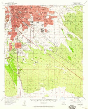
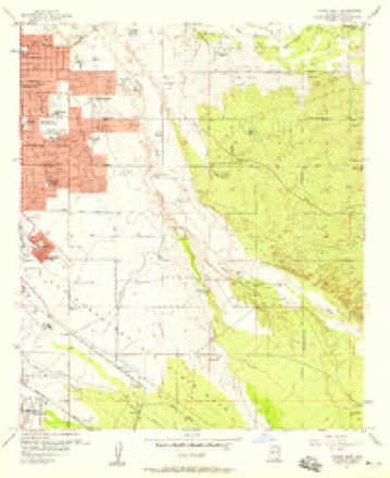
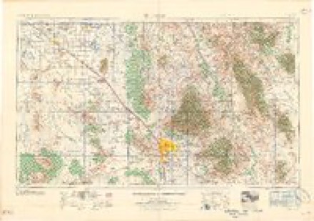
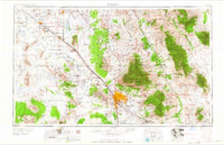
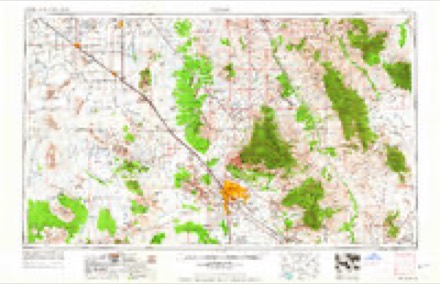
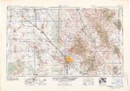
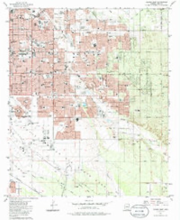
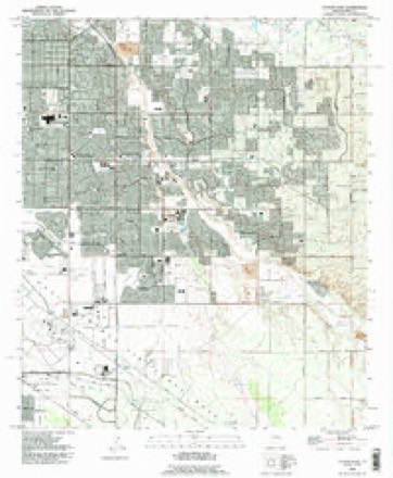
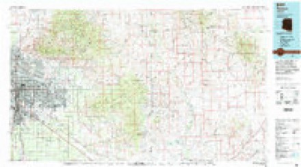
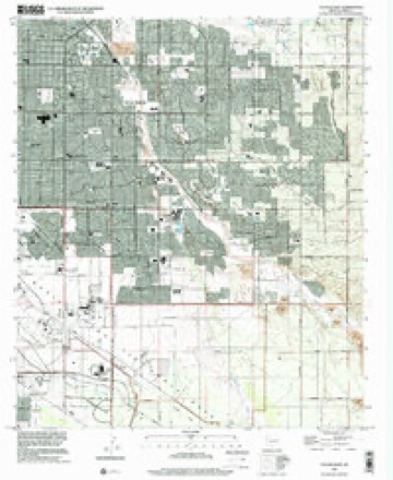
27 topographic sheets cover this place, the earliest surveyed in 1904 and the latest in 1996. It stands in the Tucson census division. It lies in ZIP code area 85756. The Survey maps it on the Tucson East quadrangle.
Topographic sheets covering this place
14 surveys from 27 printed sheetsMatched by testing this settlement's coordinate against the published boundary of every sheet in the United States Geological Survey's historical collection. Each opens the scanned sheet at the Survey.
- 1904 USGS Tucson quadrangle1:125000
- 1905 USGS Tucson quadrangle1:125000, 5 printings
- 1948 USGS Tucson quadrangle1:62500
- 1956 USGS Tucson quadrangle1:250000, 3 printings
- 1957 USGS Tucson quadrangle1:62500, 2 printings
- 1957 USGS Tucson East quadrangle1:24000, 4 printings
- 1958 USGS Tucson quadrangle1:250000
- 1959 USGS Tucson quadrangle1:250000, 2 printings
- 1962 USGS Tucson quadrangle1:250000
- 1964 USGS Tucson quadrangle1:250000
- 1983 USGS Tucson East quadrangle1:24000, 2 printings
- 1992 USGS Tucson East quadrangle1:24000
- 1994 USGS Tucson quadrangle1:100000, 2 printings
- 1996 USGS Tucson East quadrangle1:24000
Fires near this place
768 since 1992Regional context, not property-specific evidence. The federal wildfire occurrence database lists 768 fires within 5 miles of Littletown between 1992 and 2020, burning about 220 acres in total. 7 started naturally. 11 were recorded as arson. Distance is straight-line from the map coordinates, so a fire counted here may appear on a neighbouring settlement's page as well.
| Reported cause | Fires |
|---|---|
| Missing data/not specified/undetermined | 735 |
| Arson/incendiarism | 11 |
| Natural | 7 |
| Power generation/transmission/distribution | 6 |
| Smoking | 3 |
| Equipment and vehicle use | 2 |
| Recreation and ceremony | 2 |
| Misuse of fire by a minor | 1 |
| Railroad operations and maintenance | 1 |
The most recent of them, most recent first, with the day each was reported and the service that recorded it.
| Date | Cause | Size | Reported by | Name on the report |
|---|---|---|---|---|
| 9 September 2020 | Missing data/not specified/undetermined | under an acre | Arizona Department of Forestry and Fire Management - State Office | not named |
| 5 September 2018 | Missing data/not specified/undetermined | under an acre | Tucson Fire Department | 1861728 |
| 30 September 2020 | Missing data/not specified/undetermined | under an acre | Arizona Department of Forestry and Fire Management - State Office | not named |
| 30 September 2018 | Missing data/not specified/undetermined | under an acre | Tucson Fire Department | 1867671 |
| 30 September 2017 | Missing data/not specified/undetermined | under an acre | Tucson Fire Department | not named |
| 30 September 2017 | Missing data/not specified/undetermined | under an acre | Tucson Fire Department | not named |
| 28 September 2020 | Missing data/not specified/undetermined | under an acre | Arizona Department of Forestry and Fire Management - State Office | not named |
| 26 September 2020 | Missing data/not specified/undetermined | under an acre | Arizona Department of Forestry and Fire Management - State Office | not named |
Settlements close enough to share some of these fires:
Mines and quarries near this place
4 within 5 milesRegional context, not property-specific evidence. The federal mineral resources record lists 4 workings within 5 miles of Littletown: 3 occurrences, 1 producer. 1 still produces. What was taken out: Geothermal, Stone, Crushed/Broken. Distance is straight-line from the map coordinates, so a quarry counted here may appear on a neighbouring settlement's page as well.
| Where | Site | Commodity | Status | Recorded |
|---|---|---|---|---|
| Crushing,Screening & Bagging Plant | Stone, Crushed/Broken | Producer | ||
| Unknown | Geothermal | Occurrence | ||
| Unknown | Geothermal | Occurrence | ||
| Unknown | Geothermal | Occurrence |
Storms near this place
25 since 2008Regional context, not property-specific evidence. The National Weather Service names Littletown in 25 storm reports between 2008 and 2024: 11 thunderstorm wind, 7 flash flood, 5 hail, 2 tornado. No death or injury is recorded in these reports. Each account below is quoted exactly as the forecast office filed it, from the NOAA Storm Events Database, and each date opens the federal record of that event.
| When | Event | Place named | Harm | What the report says |
|---|---|---|---|---|
| July 2014 | Thunderstorm Wind | Littletown | $150,000 | Thunderstorm winds downed multiple trees, power poles and lines on Tucson's east side on and around Davis-Monthan AFB, leaving over 10,000 customers without power. Two trees landed on vehicles. One tree near Stella and Wilmot fell on a house, causing major damage. Several power poles were downed near Benson Highway and Campbell Ave. Five telephone poles were snapped near Irvington and Pantano Roads and roofs were blown off two houses near Escalante and Pantano Roads. A retired, 40-thousand pound F-16 was flipped over on top of another retired jet at the Davis-Monthan AFB boneyard. Strong winds punctured holes in the sun shades in a few of the aircraft shelters. Operational aircraft did not sustain any damage. The ASOS on base a mile away from the boneyard measured a peak gust of 66 mph. |
| July 2016 | Flash Flood | Littletown | $100,000 | Over 60-water related calls and road closures occurred, mainly within metro Tucson, due to up to 2.5 inches of rainfall. A swift water rescue occurred at Elm St near Tucson Blvd. The Stone Street Underpass was closed for several hours with up to 8 feet of standing water and a stalled vehicle. Vehicles also stalled in water in the Orange Grove Road underpass. Many surface streets were running with a foot or more of water. A daily record of 0.83 inches of rain fell at Tucson International Airport. |
| August 2012 | Thunderstorm Wind | Littletown | $80,000 | Thunderstorm winds knocked down 15 power poles along Alvernon Way between Valencia Road and Benson Highway. As storms moved northwest, a church roof was damaged near 36th and Country Club, numerous trees were downed or uprooted in central and east Tucson and a carport was destroyed on the east side of the city. Another power pole was downed near 5th and Country Club while three others were downed near Prince and Campbell. About 12,000 residents lost power as a result. |
| July 2024 | Tornado (EF1) | Littletown | $50,000 | A tornado with a maximum intensity of EF-1 developed in the vicinity of the Amazon Fulfillment Center near Kolb Road and Valencia Road. The tornado tracked towards the east-southeast, generally parallel to Valencia Road, and ended near Valencia Road and Frost Drive. Damage along the tornado path included many downed, snapped and uprooted trees, roof damage (primarily to tiles). Additionally, a large shipping container was moved and flipped on its side. The shipping container damaged a chain-link fence. ||Damage consistent with EF-1 rating was just south of Valencia Road near Old Vail Road and included large trees uprooted. Maximum estimated winds are 100 mph. |
| August 2024 | Thunderstorm Wind | Littletown | $50,000 | A personal weather station recorded a wind gust of 62 mph. Additionally, these thunderstorm winds produced tree damage and damage to mobile homes near I-10 and Kolb Rd. |
| July 2023 | Thunderstorm Wind | Littletown | $30,000 | Thunderstorm winds downed several trees and damaged roofs, awnings, carports and sheds in a mobile home park near Irvington and Harrison. A gust to 76 mph was measured at CWOP site FW9797 at 2016MST. |
| July 2013 | Thunderstorm Wind | Littletown | $30,000 | Several trees were downed in Rita Ranch. One tree crashed into the living room of a home, while another smashed a cinder block wall and yet another fell onto a truck. |
| July 2019 | Flash Flood | Littletown | $20,000 | About 2.5 inches of rain caused flash flooding on the east side of Tucson. The intersection of 22nd and Kolb as well as the intersection of Irvington and Pantano had over a foot water running through them. Numerous vehicles were stranded in the flood waters and several water rescues were performed in the area. An 11-year old child was rescued after falling into a swift flowing Alamo Wash near Bellevue St. |
| July 2009 | Thunderstorm Wind | Littletown | $13,000 | Thunderstorm downdraft winds downed power poles near the intersection of Grande and St. Marys Roads, and 10 power poles were downed or damaged near the intersection of Irvington Road and Harrison Road. |
| August 2018 | Thunderstorm Wind | Littletown | $10,000 | Several mobile home sustained patio and/or roof damage near I-10 and Kolb and a tree was downed in Sycamore Park as a result of thunderstorm winds. The Tucson ASOS reported a 60 mph wind gust at 713 pm. |
| July 2012 | Thunderstorm Wind | Littletown | $10,000 | Thunderstorm winds knocked down 6 power poles along Wilmot Road south of Interstate 10 leaving 2500 customer without power. |
| July 2014 | Flash Flood | Littletown | $5,000 | Heavy rain in the Tucson area caused flash flooding on the southeast side of town. Flash flooding was reported I-10 and Wilmot Rd. and at Kolb and Irvington Roads where water was 1-2 feet deep. Broadcast media reported that numerous cars got stuck in flowing water. Tucson Fire Department was called to rescue one adult and one child, who climbed a tree to escape quickly-flowing waters in a wash near Escalante Rd. and Camino Seco Blvd. No one was injured. |
| July 2018 | Thunderstorm Wind | Littletown | $1,000 | Thunderstorm winds downed power lines near Irvington and Houghton Roads, which resulted in over 2,500 customers losing power for two hours. |
| July 2013 | Thunderstorm Wind | Littletown | $1,000 | Thunderstorms winds downed trees in Rita Ranch. |
| July 2022 | Hail | Littletown | - | Quarter to ping pong size hail fell across Tucson from Bilby and Houghton to Davis-Monthan AFB. |
| August 2022 | Tornado (EF0) | Littletown | - | A landspout was spotted near the Los Reales landfill on the south side of Tucson. It was nearly stationary before it dissipated. |
| July 2016 | Flash Flood | Littletown | - | Heavy rainfall measured at nearly 3.5 inches caused flash flooding near Interstate 10 and Kolb Rd. Three vehicles became stranded in flood waters but no injuries occurred. |
| August 2012 | Thunderstorm Wind | Littletown | - | Thunderstorm winds downed a six inch tree branch near Drexel and Houghton Roads. |
| July 2011 | Flash Flood | Littletown | - | Heavy rainfall fell across South Tucson with rainfall amounts ranging from one and a half inches to two inches. Significant street and neighborhood flooding occurred along Old Vail Connection from Wilmot Road to Interstate 19. |
| July 2011 | Flash Flood | Littletown | - | Heavy rain fell across portions of the Tucson Metro on July 4 with rainfall amounts ranging from 1 to 2.5 inches. The heaviest rains were reported in the Catalina Foothills and across eastern Tucson. This resulted in the Pantano Wash flooding several surface streets and low water crossings in southeast Tucson, including the closure of East Irvington at Houghton Road. Additional street closures included the 6500 block of Old Spanish Trail at Rincon Creek on the east side and Camino De La Tierra at the Rillito Wash in midtown. |
| August 2010 | Flash Flood | Littletown | - | Nearly stationary thunderstorms developed over southern portions of the Tucson metro causing very heavy rainfall. This heavy rainfall lead to road closures in South Tucson including the closure of Hughes Access Road at South County Club Road. |
| August 2008 | Hail | Littletown | - | Three quarter of an inch hail occurred in the Rita Ranch ara. |
| June 2008 | Hail | Littletown | - | Hail up to 1.25 inches in diameter occurred in the Rita Ranch area and along Houghton Road between Valencia Road and Interstate 10. |
| June 2016 | Hail | Littletown | - | no account filed |
| September 2011 | Hail | Littletown | - | no account filed |
Nearest settlements
The eight closest, with where each one stands in the county. Distances are straight-line, computed from the Geographic Names Information System coordinates.
| Map | Place | Distance | Sheets |
|---|---|---|---|
| Wilmot | 1.6 miles | 25 | |
| Rankin | 2.0 miles | 27 | |
| Vandenberg Village | 3.5 miles | 27 | |
| Polvo | 4.4 miles | 25 | |
| Emery Park | 4.5 miles | 25 | |
| Craycroft | 5.3 miles | 25 | |
| Civano | 5.6 miles | 27 | |
| Pueblo Gardens | 5.7 miles | 25 |
Provenance
This settlement is recorded in the Geographic Names Information System as feature 7239. The sheet list is computed by point-in-boundary test against the United States Geological Survey's historical topographic inventory. Both are works of the United States government and carry no copyright under 17 U.S.C. 105.
Wildfire. Short, Karen C. 2022. Spatial wildfire occurrence data for the United States, 1992-2020 [FPA_FOD_20221014]. 6th Edition. Fort Collins, CO: Forest Service Research Data Archive. https://doi.org/10.2737/RDS-2013-0009.6 Collected with United States Government funding and usable without additional permissions or fees.
Mines and quarries. USGS Mineral Resources Data System (MRDS) https://mrdata.usgs.gov/mrds/ A work of the United States government, no copyright under 17 U.S.C. 105.
Storms. NOAA National Centers for Environmental Information, Storm Events Database https://www.ncei.noaa.gov/stormevents/ A work of the United States government, no copyright under 17 U.S.C. 105. Narratives are quoted verbatim from the National Weather Service report and are not edited or summarised.