 Block
Emery Park, Arizona
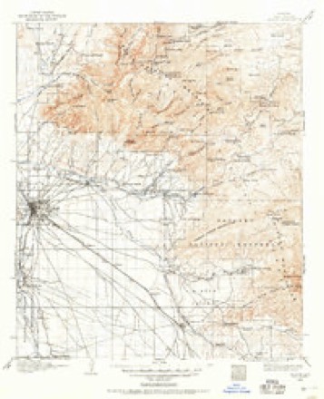
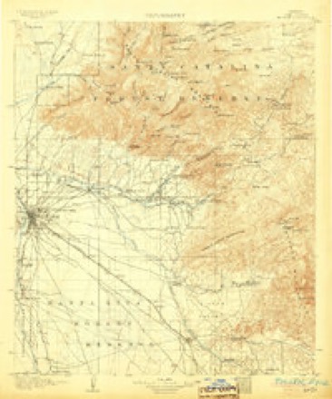
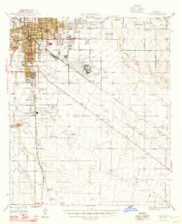
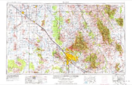
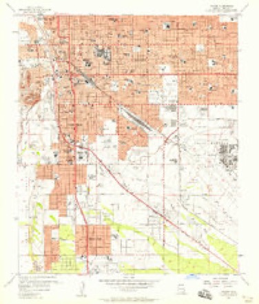
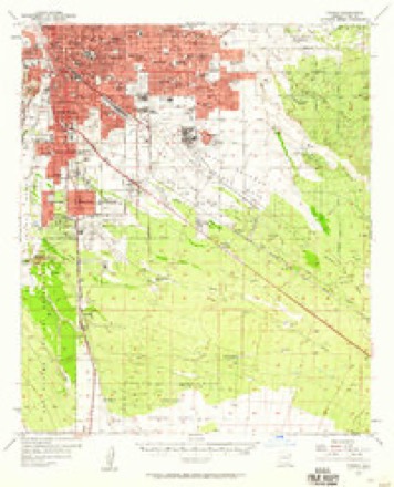
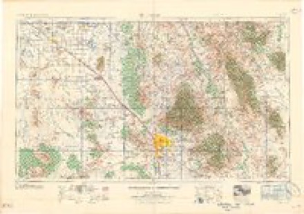
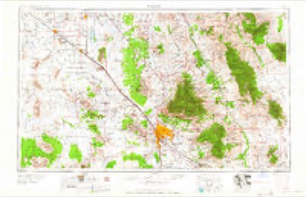
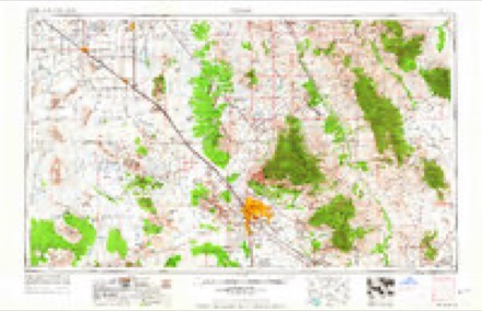
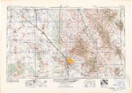
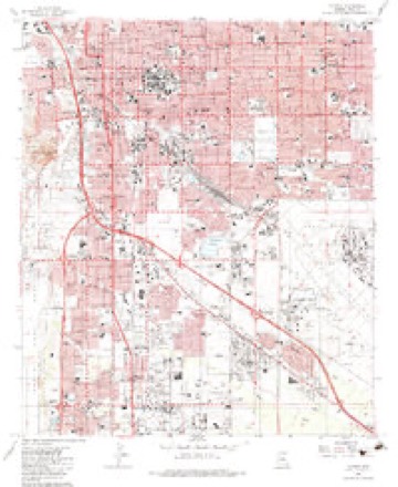
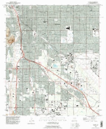
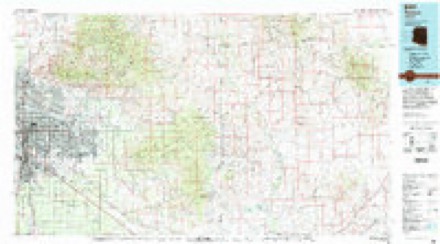
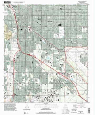
25 topographic sheets cover this place, the earliest surveyed in 1904 and the latest in 1996. It stands in the Tucson census division. It lies in ZIP code area 85706. The Survey maps it on the Tucson quadrangle.
Topographic sheets covering this place
14 surveys from 25 printed sheetsMatched by testing this settlement's coordinate against the published boundary of every sheet in the United States Geological Survey's historical collection. Each opens the scanned sheet at the Survey.
- 1904 USGS Tucson quadrangle1:125000
- 1905 USGS Tucson quadrangle1:125000, 5 printings
- 1948 USGS Tucson quadrangle1:62500
- 1956 USGS Tucson quadrangle1:250000, 3 printings
- 1957 USGS Tucson quadrangle1:24000, 3 printings
- 1957 USGS Tucson quadrangle1:62500, 2 printings
- 1958 USGS Tucson quadrangle1:250000
- 1959 USGS Tucson quadrangle1:250000, 2 printings
- 1962 USGS Tucson quadrangle1:250000
- 1964 USGS Tucson quadrangle1:250000
- 1983 USGS Tucson quadrangle1:24000
- 1992 USGS Tucson quadrangle1:24000
- 1994 USGS Tucson quadrangle1:100000, 2 printings
- 1996 USGS Tucson quadrangle1:24000
Fires near this place
1,256 since 1994Regional context, not property-specific evidence. The federal wildfire occurrence database lists 1,256 fires within 5 miles of Emery Park between 1994 and 2020, burning about 342 acres in total. 31 started naturally. 27 were recorded as arson. Distance is straight-line from the map coordinates, so a fire counted here may appear on a neighbouring settlement's page as well.
| Reported cause | Fires |
|---|---|
| Missing data/not specified/undetermined | 1160 |
| Natural | 31 |
| Arson/incendiarism | 27 |
| Debris and open burning | 12 |
| Power generation/transmission/distribution | 6 |
| Equipment and vehicle use | 5 |
| Smoking | 4 |
| Misuse of fire by a minor | 3 |
| Railroad operations and maintenance | 3 |
| Recreation and ceremony | 3 |
| Other causes | 2 |
The most recent of them, most recent first, with the day each was reported and the service that recorded it.
| Date | Cause | Size | Reported by | Name on the report |
|---|---|---|---|---|
| 9 September 2020 | Missing data/not specified/undetermined | under an acre | Arizona Department of Forestry and Fire Management - State Office | not named |
| 9 September 2018 | Missing data/not specified/undetermined | under an acre | Tucson Fire Department | 1862510 |
| 8 September 2020 | Missing data/not specified/undetermined | under an acre | Arizona Department of Forestry and Fire Management - State Office | not named |
| 8 September 2018 | Missing data/not specified/undetermined | under an acre | Tucson Fire Department | 1862310 |
| 6 September 2018 | Missing data/not specified/undetermined | under an acre | Tucson Fire Department | 1861806 |
| 6 September 2017 | Missing data/not specified/undetermined | under an acre | Tucson Fire Department | not named |
| 5 September 2019 | Missing data/not specified/undetermined | under an acre | Tucson Fire Department | NOT NAMED |
| 30 September 2017 | Missing data/not specified/undetermined | under an acre | Tucson Fire Department | not named |
Settlements close enough to share some of these fires:
Mines and quarries near this place
10 of 16 shownRegional context, not property-specific evidence. The federal mineral resources record lists 16 workings within 5 miles of Emery Park: 6 past producers, 4 producers, 4 occurrences, 1 unknown. 4 still produce. What was taken out: Sand and Gravel, Construction, Barium-Barite, Geothermal, Stone, Crushed/Broken. Distance is straight-line from the map coordinates, so a quarry counted here may appear on a neighbouring settlement's page as well.
| Where | Site | Commodity | Status | Recorded |
|---|---|---|---|---|
| Old Mission Mine | Silver, Copper, Lead, Gold, Iron, Manganese, Barium-Barite | Producer | Argentite, Hematite | |
| Old Mission Mine | Copper, Silver, Gold, Lead, Barium-Barite | Past Producer | ||
| Pellegrin Mine | Silver, Gold, Lead, Copper, Barium-Barite | Past Producer | ||
| Silver Cup Group | Gold, Manganese, Silver | Unknown | ||
| Tucson Tufa Quarry | Stone | Past Producer | ||
| Crushing,Screening & Bagging Plant | Stone, Crushed/Broken | Producer | ||
| Dutchess Claim | Uranium | Occurrence | Uranophane | |
| Dutchess Claim | Uranium | Prospect | ||
| Pit No. 5 | Stone, Crushed/Broken, Sand and Gravel, Construction | Producer | ||
| Unknown | Geothermal | Occurrence |
Storms near this place
19 since 2008Regional context, not property-specific evidence. The National Weather Service names Emery Park in 19 storm reports between 2008 and 2025: 12 thunderstorm wind, 4 flash flood, 2 lightning, 1 hail. The reports record 2 deaths. Each account below is quoted exactly as the forecast office filed it, from the NOAA Storm Events Database, and each date opens the federal record of that event.
| When | Event | Place named | Harm | What the report says |
|---|---|---|---|---|
| August 2024 | Flash Flood | Emery Park | 1 killed, $1,000 | Thunderstorms with heavy rainfall went through the Tucson Metro on August 8th resulting in 0.5 to 1.0 inches of rain leading to flash flooding and running washes. In addition, the Pima County Medical Examiner found that drowning was the primary factor in the death of one individual. The individual was found in Aviation Wash on August 9th with debris and running water. |
| July 2008 | Flash Flood | Emery Park | 1 killed | A vehicle was found near 15th Avenue and Mable Street where a man had been swept away due to flash flooding. |
| July 2013 | Thunderstorm Wind | Emery Park | $150,000 | Thunderstorm winds downed two dozen power poles in southern Tucson, mainly along Valencia Road between Park and Campbell Avenues and near the intersection of Golf Links and Pantano Roads. Around 8,000 customers were without electrical power at one point. Thirty mobile homes were damaged by winds or downed trees near Benson Highway and Valencia Road. One tree fell on a car. In addition, two hangar doors were blown off and two trees were downed at the Tucson International Airport where a wind gust to 74 mph was measured at 205 p.m. MST. |
| September 2011 | Thunderstorm Wind | Emery Park | $150,000 | Thunderstorm winds downed several trees on Tucson's south side. One tree fell on a truck and another onto an apartment building. The truck was totaled but the building only received minor damage. In addition, strong winds ripped the air conditioning unit and tiles off the roof of the Southgate Academy Charter School. |
| August 2023 | Hail | Emery Park | $100,000 | A swath of large hail from 1 to 1.5 inches in diameter fell from near the Tucson Airport northwest to the campus of the University of Arizona, including at the NWS Tucson WFO. Hail damaged cars, skylights and roofs, including the roof at Rivera Elementary School. |
| July 2023 | Thunderstorm Wind | Emery Park | $70,000 | Thunderstorm winds caused extensive damage to the Fitness Center at the Pima Community College Desert Vista campus. Several trees were downed in Oro Valley. A wind gust to 60 mph was measured at the KAVQ AWOS at 1745MST. |
| August 2021 | Thunderstorm Wind | Emery Park | $25,000 | Thunderstorm winds several downed trees and power poles between Campbell Ave. and Palo Verde Rd. and between Drexel and Irvington Rds. About 2000 customers were without power and a section of Irvington Rd. was closed as a result. Tents at Community Food Bank were blown down causing closure of outdoor food distribution operations the following 2 days. |
| August 2011 | Thunderstorm Wind | Emery Park | $15,000 | Thunderstorm winds downed several downed power poles near the Tucson International Airport. This caused the closure of East Los Reales Road between South Sixth Avenue and South Nogales Highway and 3,200 customers to lose power. |
| August 2024 | Thunderstorm Wind | Emery Park | $10,000 | ASOS station at Tucson International Airport recorded a wind gust of 70 mph. This same thunderstorm resulted in a power pole down near Speedway and Greasewood Rd. |
| August 2022 | Flash Flood | Emery Park | $10,000 | Heavy rain of 1.5 in 1 hour caused flash flooding in southern Tucson. Swift water rescues from vehicles occurred near Bilby Rd. and Nogales Highway and Valencia Rd. and Park Ave. |
| October 2022 | Thunderstorm Wind | Emery Park | $5,000 | Thunderstorm winds downed a few trees in Midvale Park in the southwest Tucson metro area. One of the trees fell onto a residence, causing minor damage. |
| July 2023 | Thunderstorm Wind | Emery Park | $3,000 | Thunderstorm winds downed a power pole and a tree at the Tucson International Airport. A thunderstorm wind gust to 58 mph was measured at KTUS ASOS at 1752MST. |
| July 2025 | Lightning | Emery Park | $2,000 | A lightning strike damaged utility equipment and caused 200 customers to loose power for an unknown amount of time. |
| July 2025 | Lightning | Emery Park | $2,000 | A lightning strike hit power company equipment and caused power outages at the Pima County Election Headquarters and several other areas in Midtown Tucson. |
| July 2017 | Flash Flood | Emery Park | $1,000 | Heavy rain caused flash flooding in Tucson. One car became submerged in flowing water a foot deep near Country Club and Bantam roads. |
| August 2013 | Thunderstorm Wind | Emery Park | $500 | The Tucson International Airport ASOS recorded severe thunderstorm wind gust of 61 mph. An eight inch diameter tree branch was downed near the intersection of Sunrise and Skyline Drives. |
| August 2023 | Thunderstorm Wind | Emery Park | - | The Tucson International Airport ASOS KTUS measured a gust of 62 mph at 1833MST. |
| August 2022 | Thunderstorm Wind | Emery Park | - | A wind gust to 76 mph was recorded at KTUS Tucson Airport ASOS at 1834MST and a gust to 64 mph was recorded there at 1753MST. No damage was observed in the immediate vicinity. |
| July 2021 | Thunderstorm Wind | Emery Park | - | A wind gust to 67 mph was recorded at Tucson International Airport. |
Nearest settlements
The eight closest, with where each one stands in the county. Distances are straight-line, computed from the Geographic Names Information System coordinates.
| Map | Place | Distance | Sheets |
|---|---|---|---|
| Drexel Heights | 3.8 miles | 21 | |
| Pueblo Gardens | 3.9 miles | 25 | |
| Polvo | 4.0 miles | 25 | |
| South Tucson | 4.1 miles | 25 | |
| Littletown | 4.5 miles | 27 | |
| Summit | 5.1 miles | 25 | |
| Vandenberg Village | 5.4 miles | 27 | |
| Black Mountain Estates | 5.5 miles | 20 |
Provenance
This settlement is recorded in the Geographic Names Information System as feature 4433. The sheet list is computed by point-in-boundary test against the United States Geological Survey's historical topographic inventory. Both are works of the United States government and carry no copyright under 17 U.S.C. 105.
Wildfire. Short, Karen C. 2022. Spatial wildfire occurrence data for the United States, 1992-2020 [FPA_FOD_20221014]. 6th Edition. Fort Collins, CO: Forest Service Research Data Archive. https://doi.org/10.2737/RDS-2013-0009.6 Collected with United States Government funding and usable without additional permissions or fees.
Mines and quarries. USGS Mineral Resources Data System (MRDS) https://mrdata.usgs.gov/mrds/ A work of the United States government, no copyright under 17 U.S.C. 105.
Storms. NOAA National Centers for Environmental Information, Storm Events Database https://www.ncei.noaa.gov/stormevents/ A work of the United States government, no copyright under 17 U.S.C. 105. Narratives are quoted verbatim from the National Weather Service report and are not edited or summarised.