 Block
Nogales, Arizona
19 topographic sheets cover this place, the earliest surveyed in 1905 and the latest in 2004. It stands in the Nogales census division. It lies in ZIP code area 85621. It lies near Crawford Hill. The Survey maps it on the Nogales quadrangle. 19,770 people lived here at the 2020 count. It stands 3,832 feet above sea level.
Research this city
On record in Nogales
Buildings and businesses the archive holds for this place. Each opens its own page, with the source record it came from.
On the National Register 12 of 36 shown
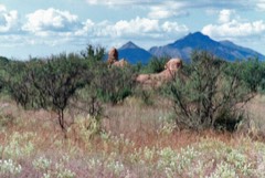 Guevavi Mission RuinsNational Historic Landmark · listed 1971
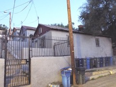 10 Cottages on Short Streetlisted 1985
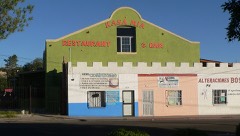 Arizona-Sonora Manufacturing Company Machine Shoplisted 1985
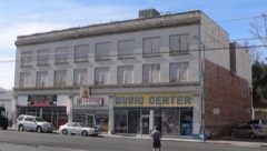 Bowman Hotellisted 1985
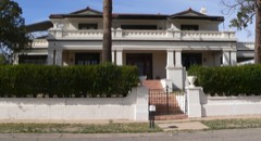 W. G. Bowman Houselisted 1985
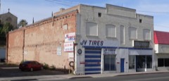 Burton Buildinglisted 1985
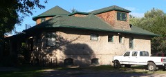 Frank F. Cranz Houselisted 1985
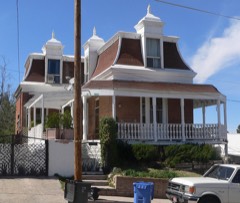 Crawford Hill Historic Residential Districtlisted 1985
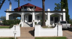 George Dunbar Houselisted 1985
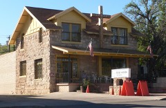 Sen. James A. Harrison Houselisted 1985
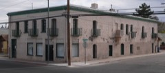 Hotel Blancalisted 1985
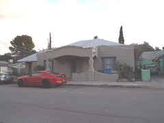 House at 220 Walnut Streetlisted 1985
Every listing in Santa Cruz County
Surveyed buildings and structures 3 records
- Pete Kitchen Ranch House, Portrero Creek Vicinity, Nogalesfederal building survey, 4 photographs
- San Cayetano de Calabasas (Mission, Ruins), Santa Cruz River Vicinity, Nogalesfederal building survey, 4 photographs
- San Gabriel de Guevavi, Santa Cruz River, Nogalesfederal building survey, 6 photographs
Population over time
2 figuresNogales fell from 20,837 to 19,770 between 2010 and 2020. These are the recorded population figures Wikidata holds for this place, reached through the Geographic Names Information System number this page is keyed on rather than by name, so they belong to this place and not to another of the same name. Most are census counts, but not all are: an early figure may be a founding or settlement estimate, and an estimate published within five years of a census is left out. The change column is computed, and is left blank where more than 20 years separate a figure from the one before it, because a gap that long is not a change between two counts.
| Year | People | Change |
|---|---|---|
| 2010 | 20,837 | |
| 2020 | 19,770 | -1,067 (-5%) |
Topographic sheets covering this place
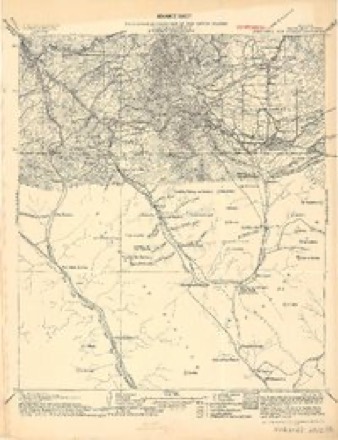
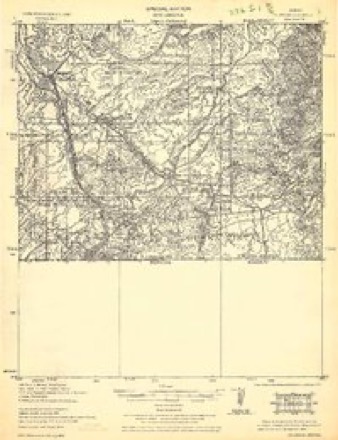
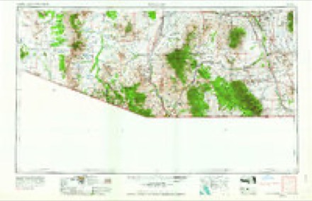
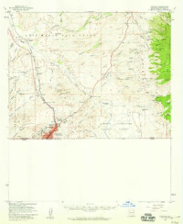
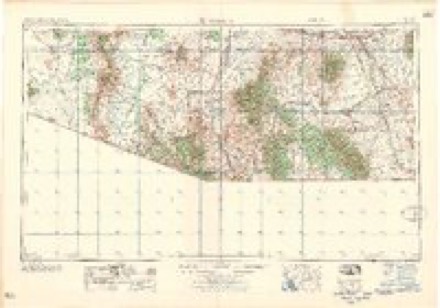
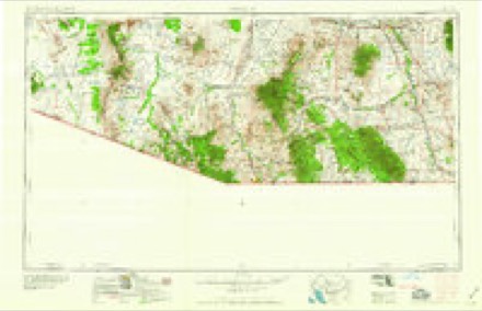
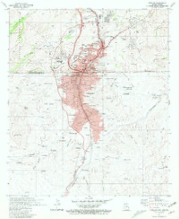
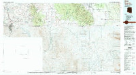
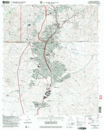
9 surveys from 19 printed sheetsMatched by testing this settlement's coordinate against the published boundary of every sheet in the United States Geological Survey's historical collection. Each opens the scanned sheet at the Survey.
- 1905 USGS Nogales quadrangle1:125000, 4 printings
- 1933 USGS Calabasas quadrangle1:62500, 2 printings
- 1956 USGS Nogales quadrangle1:250000, 4 printings
- 1958 USGS Nogales quadrangle1:62500, 3 printings
- 1958 USGS Nogales quadrangle1:250000
- 1959 USGS Nogales quadrangle1:250000
- 1981 USGS Nogales quadrangle1:24000
- 1994 USGS Nogales quadrangle1:100000, 2 printings
- 2004 USGS Nogales quadrangle1:24000
Photographs
7 photographs, 2018Taken for the Office of War Information and the Farm Security Administration, who photographed the country between 1935 and 1944. Works of United States government photographers, with no known restriction on use. Each opens its catalogue record.
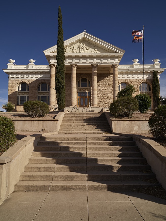
Highsmith, Carol M, 2018. Library of Congress

Highsmith, Carol M, 2018. Library of Congress
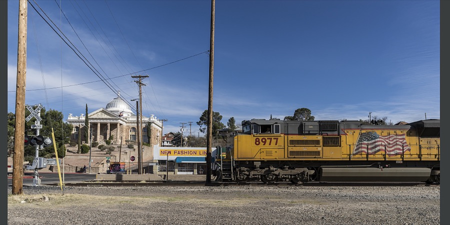
Highsmith, Carol M, 2018. Library of Congress
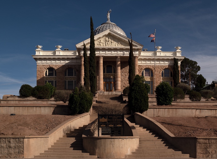
Highsmith, Carol M, 2018. Library of Congress
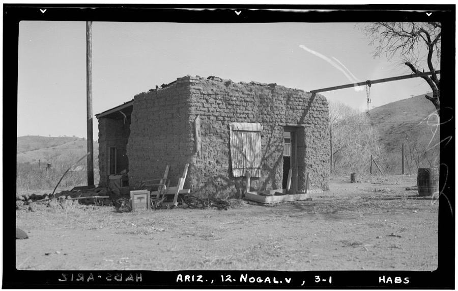
Photographer not recorded. Library of Congress
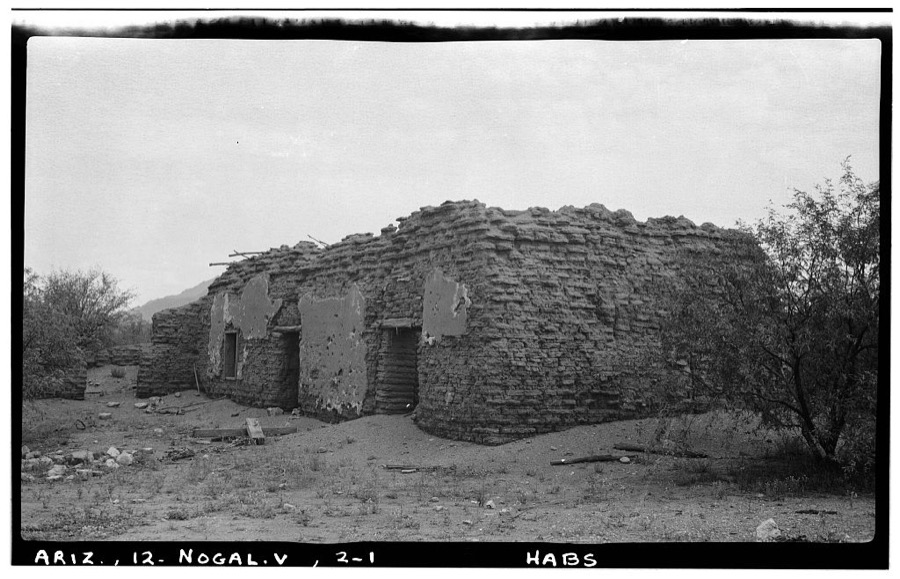
Photographer not recorded. Library of Congress
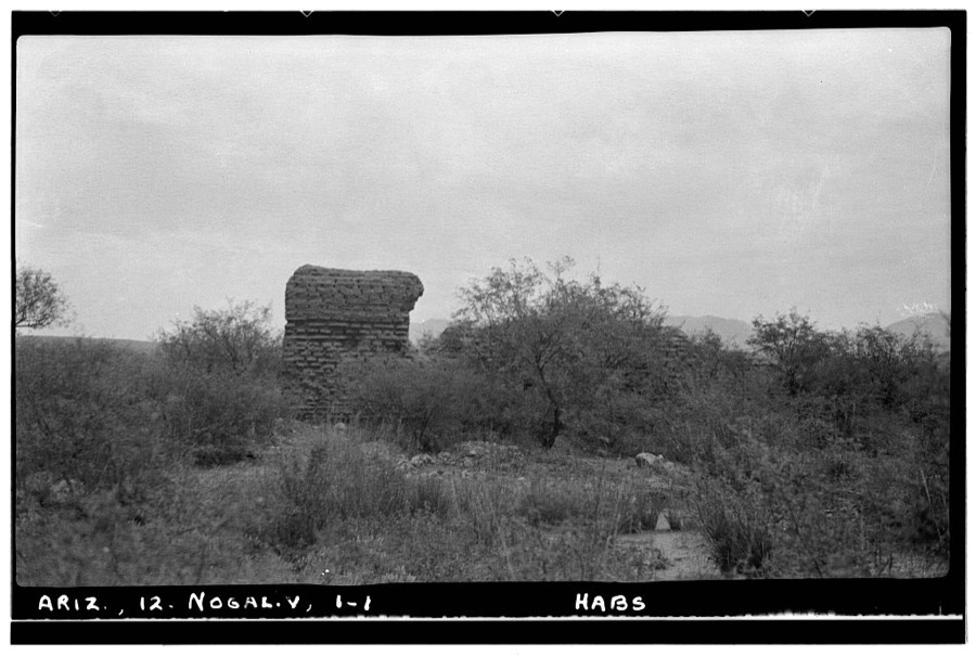
Photographer not recorded. Library of Congress
Fires near this place
179 since 1993Regional context, not property-specific evidence. The federal wildfire occurrence database lists 179 fires within 5 miles of Nogales between 1993 and 2020, burning about 6,010 acres in total. 8 started naturally. 1 was recorded as arson. Distance is straight-line from the map coordinates, so a fire counted here may appear on a neighbouring settlement's page as well.
| Reported cause | Fires |
|---|---|
| Missing data/not specified/undetermined | 157 |
| Natural | 8 |
| Recreation and ceremony | 7 |
| Equipment and vehicle use | 5 |
| Arson/incendiarism | 1 |
| Power generation/transmission/distribution | 1 |
The most recent of them, most recent first, with the day each was reported and the service that recorded it.
| Date | Cause | Size | Reported by | Name on the report |
|---|---|---|---|---|
| 7 September 2019 | Power generation/transmission/distribution | under an acre | Nogales Fire Department | NOT NAMED |
| 30 September 2020 | Missing data/not specified/undetermined | under an acre | Arizona Department of Forestry and Fire Management - State Office | not named |
| 28 September 2020 | Missing data/not specified/undetermined | under an acre | Arizona Department of Forestry and Fire Management - State Office | not named |
| 27 September 2018 | Missing data/not specified/undetermined | under an acre | Nogales Fire Department | 2186 |
| 24 September 2020 | Missing data/not specified/undetermined | under an acre | Arizona Department of Forestry and Fire Management - State Office | not named |
| 24 September 2020 | Missing data/not specified/undetermined | under an acre | Arizona Department of Forestry and Fire Management - State Office | not named |
| 23 September 2020 | Missing data/not specified/undetermined | under an acre | Arizona Department of Forestry and Fire Management - State Office | not named |
| 11 September 2019 | Missing data/not specified/undetermined | 1.0 acres | Nogales Fire Department | NOT NAMED |
Settlements close enough to share some of these fires:
Mines and quarries near this place
10 of 22 shownRegional context, not property-specific evidence. The federal mineral resources record lists 22 workings within 5 miles of Nogales: 16 past producers, 4 producers, 1 occurrence, 1 prospect. 4 still produce. What was taken out: Copper, Sand and Gravel, Construction, Silver, Gold, Gold, Lead. Distance is straight-line from the map coordinates, so a quarry counted here may appear on a neighbouring settlement's page as well.
| Where | Site | Commodity | Status | Recorded |
|---|---|---|---|---|
| Cash Viejo Group | Lead, Silver, Copper, Gold | Past Producer | ||
| Columbia Mine Group | Silver, Gold, Lead, Copper | Producer | 1928, 1941 | |
| Columbia Mine Group | Silver, Lead, Gold, Copper | Past Producer | ||
| Don Luis Quarry | Silica | Past Producer | Sandstone | |
| Dura Mine | Silver, Lead, Gold, Antimony, Molybdenum | Producer | Chalcopyrite, Galena, Malachite, Pyrite, Stibnite, Wulfenite | |
| Dura Mine Group | Gold, Lead, Antimony, Molybdenum, Silver | Past Producer | ||
| Farmer Mine | Gold, Lead, Copper | Past Producer | ||
| Gold Hill Mine | Lead, Gold, Silver, Copper | Past Producer | 1855, 1945 | |
| Lion Mine | Gold, Silver, Copper, Lead | Past Producer | Malachite | |
| Little Jack | Gold, Silver, Lead | Prospect |
Storms near this place
60 of 62 shownRegional context, not property-specific evidence. The National Weather Service names Nogales in 62 storm reports between 1997 and 2024: 42 flash flood, 11 thunderstorm wind, 5 hail, 1 flood. The reports record 3 deaths and 9 injuries. Each account below is quoted exactly as the forecast office filed it, from the NOAA Storm Events Database, and each date opens the federal record of that event.
| When | Event | Place named | Harm | What the report says |
|---|---|---|---|---|
| July 2008 | Flash Flood | Nogales | 2 killed, 3 hurt, $600,000 | Heavy rainfall on the Mexican side of the border caused flash flooding in the city of Nogales, Arizona. This was caused by a damaged portion of the underground Nogales Wash. Local emergency management reported that water burst through the underground wash onto the surface just across the International Border. The border wall acted as a dam, keeping most of the flooding on the Mexican side. However, some water did flow through the port of entry into downtown Nogales, Arizona. Several businesses in the downtown business district experienced flooding and two illegal immigrants found two days later in the underground wash are also believed to have drowned due to this flooding. In addition, three illegal immigrants in an underground flood channel beneath the international border were rescued. |
| July 2004 | Flash Flood | Nogales | 1 killed, 2 hurt | A wall of water swept a woman and two teenage girls off their feet and washed them downstream. The two girls where rescued by local officials, however the woman could not be saved. |
| July 1997 | Flash Flood | Nogales | 3 hurt | Nogales wash overflowed its banks. Several vehicles had to be pulled out of the wash. Several minor injuries were reported |
| August 2007 | Flash Flood | Nogales | 1 hurt | Seven illegal immigrants were saved by the U.S. border patrol in the Nogales wash in the City of Nogales from flash flooding. |
| August 2007 | Flash Flood | Nogales | $10,000,000 | Portions of downtown Nogales experienced flash flooding. Extensive damage occurred to the Nogales Wash, which is a concrete wash that flows through the city of Nogales. City officials estimated damage at $10 million on the U.S. side of the border. |
| July 2017 | Flash Flood | Nogales | $250,000 | Heavy rain caused two homes were flooded on West and Oak Street, but no injuries were reported. Heavy rain in Nogales, Sonora caused Nogales wash to overflow its banks whch caused road closures at Doe Street, Calle Sonora, Hohokam Street and at the Baffert Drive Bridge. Damage to the Nogales Wash caused by the strong flows, and subsequently the International Outfall Interceptor, were discovered days later. Raw sewage from this line flowed into the wash. This ultimately led to a month long effort by local, state and federal officials to repair the wash and interceptor pipe. The flow was diverted to avoid contaminating water farther downstream, but some contamination of local groundwater likely occurred. The total repair project including labor, fuel, equipment and other resources totaled nearly $5 million. |
| August 2018 | Flash Flood | Nogales | $100,000 | Heavy rain of one to two inches on both sides of the International Border caused strong flows in Nogales Wash which severely damaged concrete slabs in the part of wash, and exposed the International Outfall Interceptor sewage line. Several streets in Nogales were also flooded with 1 to 2 feet of water. |
| September 2014 | Flash Flood | Nogales | $100,000 | Flash flooding in Nogales occurred late in the evening as Ephraim Wash flooded over Washington Ave, with 2 homes flooded and several families evacuated off of Western Ave around 2200 LST. Nogales Wash also overtopped its banks from Doe St. downstream to Chula Vista Lane. In addition, concrete slabs within the wash were damaged, leaving the International Outfall Interceptor (IOI) that carries 9-12 million gallons of raw sewage from Sonora, Mexico to Rio Rico, exposed. In Rio Rico, Sonoita Creek flooded Pendleton Drive. |
| July 2010 | Flash Flood | Nogales | $100,000 | Flash flooding from rainfall south of the International Border resulting in the Nogales Wash rising 7 feet in 15 minutes. This caused some damage to the bank protection including three concrete panels in the wash. Part of Old Tucson Road, which parallels the wash, was partially eroded. |
| July 2014 | Flash Flood | Nogales | $50,000 | Heavy rain on both sides of the International Border caused strong flows in Ephraim Wash. An unopened gate along the International Border fence collapsed sending an additional surge of water through Ephraim Wash which topped the Leyva Bridge and spilled onto Western Avenue in Nogales. Five people were rescued from a vehicle as they tried to flee the area. A total of 10 people from two homes were evacuated. The homes were flooded to a depth of three feet while 8 vehicles were damaged by flood waters. |
| July 2017 | Flash Flood | Nogales | $40,000 | A border patrol SUV parked near the international border and the Santa Cruz River became stuck in the mud and became overrun by the floodwaters of the Santa Cruz River. |
| July 2014 | Flash Flood | Nogales | $30,000 | Heavy rain in both Nogales, Sonora and Nogales, AZ caused flash flooding in several locations. Up to 0.75 inches of rain in 20 minutes along with pea-size hail were reported. Many businesses sustained water damage along Hohokam Drive when the Nogales Wash over-topped its banks. One car was swept down Nogales Wash near the Grand Ave/Hohokam Drive bridge with nobody inside. |
| August 2012 | Flash Flood | Nogales | $30,000 | Between two and four inches of rain fell across parts of Santa Cruz County. Several motorists were rescued from their vehicles in Nogales and Rio Rico as water ran across roads to depths over three feet in some spots. Another swift water rescue occurred at the Potero Wash along South River Road. In addition, Nogales Wash came out of its banks and flooded nearby businesses in Nogales. |
| July 1998 | Flash Flood | Nogales | $30,000 | 2-3 feet of water flooded the Monta Carlo neighborhood damaging many houses. The Nogales sheriff also reported flooding of South River Road and along highway 82 in Nogales. |
| October 1997 | Flash Flood | Nogales | $30,000 | Thunderstorms dumped between 2-3 inches of rain over the western portion of Nogales causing flash flooding that damaged about 100 homes and 30 businesses. The flooding forced the evacuation of 150 residents from their homes. The floodwaters carried 5 vehicles down Western Avenue, the most heavily damaged street. |
| July 2002 | Flash Flood | Nogales | $30,000 | no account filed |
| August 2024 | Flash Flood | Nogales | $25,000 | Heavy rain due to a thunderstorm caused a car to get stuck in a neighborhood wash drainage across intersection of E Calle Sonora and N Calle Guadalupe. |
| October 2018 | Flash Flood | Nogales | $25,000 | Nogales wash over-topped its banks. Flood waters dislodged and cracked three concrete panels that line the wash. |
| July 2016 | Thunderstorm Wind | Nogales | $25,000 | Thunderstorm winds blew a roof off a home and damaged trees and power lines in the Royal Road area of Nogales. |
| July 2014 | Flash Flood | Nogales | $20,000 | Heavy rain of over 2 inches in less than one hour fell in Nogales, Sonora, Mexico, causing catastrophic flooding there. Runoff crossing the border combined with brief heavy rain in Nogales, Arizona caused flooding and the closure of the DeConcini Port of Entry until 10 pm MST for the first time in history. Runoff into Nogales Wash burst from manholes into Nogales, Arizona. As the the Nogales Wash emerged above ground, it over-topped its banks and caused street flooding. |
| July 2021 | Flash Flood | Nogales | $15,000 | One to two inches of rain fell in less than 1 hour in Nogales and caused flash flooding of several roads and minor damage to a couple of homes near Western Ave. |
| August 2016 | Flash Flood | Nogales | $15,000 | Nearly two inches of rain in parts of Nogales, Sonora caused Nogales Wash to overtop the Doe St. bridge in Nogales, Arizona. As a result, businesses were flooded along Hohokam Drive with surface runoff 8 inches deep. Morley Avenue was also flooded. |
| July 2022 | Thunderstorm Wind | Nogales | $5,000 | Thunderstorm winds downed a tree and blew part of the roof off a mobile home on W. Manor Dr. in Nogales. |
| July 2004 | Flash Flood | Nogales | $5,000 | Law enforcement reported that a vehicle was stuck in the Nogales wash. The vehicle became stuck when the driver tried to cross a roadway that was flooded by the wash. |
| October 2000 | Flood | Nogales | $5,000 | Road closures at Tumacacori Santa Gertrudis Lane and Tubar Chavez Sidind Road due to flooding. Also, 100 yards of South River Road was washed out. |
| August 1997 | Flash Flood | Nogales | $5,000 | The Mia Casa mobile home park in the west portion of Nogales was flooded with water 3-4 feet deep. Damage to a few cars and several homes. |
| July 2019 | Thunderstorm Wind | Nogales | $3,000 | Multiple trees down near intersection of Western Ave and N Bautista St. The window in a house was also blown out just north of the intersection. |
| July 2014 | Thunderstorm Wind | Nogales | $3,000 | Thunderstorm wind gusts downed two utility poles in Nogales. |
| August 2008 | Thunderstorm Wind | Nogales | $3,000 | A trained spotter reported roof damage to their residence due to wind from a thunderstorm. |
| July 2007 | Thunderstorm Wind | Nogales | $3,000 | Several trees were knocked down in the downtown area of Nogales due to strong winds from a strong thunderstorm. |
| July 2022 | Thunderstorm Wind | Nogales | $2,000 | Thunderstorm winds uprooted 2 large trees near Nogales City Hall. |
| August 2010 | Flash Flood | Nogales | $2,000 | Very heavy rain in Nogales, Sonora caused the Nogales Wash to rise 7 feet in less than one hour. The wash rose above flood stage, causing erosion to one roadway in Nogales, Arizona. |
| August 2024 | Flash Flood | Nogales | $1,000 | Flooding of Nogales Wash in adjacent roadway. |
| August 2024 | Flash Flood | Nogales | $1,000 | Roads in Nogales including Industrial Park Drive closed due to flash flooding. |
| June 2024 | Flash Flood | Nogales | $1,000 | The Nogales Wash at Nogales exceeded bankfull at about 8 feet causing flooding in the Morley Road region of Nogales. |
| November 2019 | Thunderstorm Wind | Nogales | $1,000 | A large tree was uprooted by thunderstorm winds near City Hall in Nogales. A soaking rain of nearly 1.5 inches in the 24 hours preceding the thunderstorms had softened the ground around this shallow-rooted tree. |
| August 2017 | Flash Flood | Nogales | $1,000 | An excavator became buried in about four feet of mud after the Nogales Wash flooded. Was buried up to the operator's cabin and had to be pulled out via tow truck. Additionally, a stream gauge in the Nogales Wash recorded a level of 10.4 feet at 3pm, which is almost 2.5 feet above flood level. |
| June 2009 | Thunderstorm Wind | Nogales | $500 | Severe thunderstorm outflow winds estimated at 60 mph blew down a large tree near downtown Nogales. |
| August 2024 | Hail | Nogales | - | Three quarter of an inch hail was estimated in Nogales. |
| December 2024 | Funnel Cloud | Nogales | - | A trained spotter reported a weak funnel cloud that passed overhead Nogales, Arizona. |
| August 2022 | Flash Flood | Nogales | - | Heavy rain in Nogales, Sonora caused a rapid rise in Nogales Wash, causing it to overtop its banks and flood the Doe St. Bridge. |
| July 2022 | Flash Flood | Nogales | - | Heavy rain of 1 in less than 1 hour caused streets to become flooded and impassable in eastern portions of Nogales. Morley Ave. was closed at Madison St. |
| August 2022 | Flash Flood | Nogales | - | Heavy rain of 1-2' in 1 hour in Nogales, Sonora caused a rapid rise in Nogales Wash. The Doe St. bridge was overtopped and nearby roadways were flooded. |
| August 2021 | Flash Flood | Nogales | - | One to two inches of rain in less than an hour in Nogales, Sonora caused a rapid rise on Nogales Wash in Arizona, causing it to overtop its banks. Two drowning victims were washed across the border from Mexico and retrieved in Arizona. |
| July 2019 | Flash Flood | Nogales | - | Runoff from heavy rain in Sonora caused flash flooding in the Nogales Port of Entry. Water was flowing 8-10 inches deep through the checkpoint area. Flash flooding was also reported at Potrero Creek near near Meadow Hills Drive. |
| July 2017 | Flash Flood | Nogales | - | Ephriam Wash overflowed its banks at Western Avenue bridge. Nearby rain gauge recorded 2.17 inches of rain in about an hour. |
| July 2015 | Flash Flood | Nogales | - | Heavy rain in Nogales, Sonora caused strong flows in Nogales Wash. The Doe Street Bridge in Nogales was closed for a time as the Nogales Wash over topped its banks. |
| August 2015 | Flash Flood | Nogales | - | Thunderstorms over Nogales produced 1 to 2 inches of rain, which resulted in heavy flows in Nogales wash. The Doe Street Bridge was closed for a time after flood waters breached the wash banks and over-topped the roadway. |
| July 2014 | Thunderstorm Wind | Nogales | - | A trained spotter reported wind gusts up to 61 mph, which broke several small tree branches. |
| May 2012 | Tornado (EF0) | Nogales | - | A dust devil briefly spun up into a landspout tornado just south of Rio Rico. |
| August 2011 | Flash Flood | Nogales | - | Heavy rainfall lead to a quick five foot rise in the Nogales Wash and subsequent flooding along its banks. |
| July 2010 | Flash Flood | Nogales | - | There was a 6 foot rise on Nogales Wash in 30 minutes with flooding downstream from the gauge. |
| August 2008 | Flash Flood | Nogales | - | A 7 foot rise occurred on the Nogales Wash in Nogales. |
| July 2007 | Hail | Nogales | - | A severe thunderstorm over the city of Nogales caused hail one inch in diameter. |
| July 2006 | Hail | Nogales | - | A strong thunderstorm produced one inch hail 13 miles west of the City of Nogales. |
| September 2006 | Hail | Nogales | - | A county official in the City of Nogales reported one inch (1.00) hail falling at the city courthouse complex. |
| August 2006 | Flash Flood | Nogales | - | AL Harris Wash and Via Verde Wash overflowed their banks in the City of Nogales near Interstate 19. Mi Casa Trailer Park and Via Verde Subdivision were flooded. Mi Casa Trailer Park was evacuated. Al Harris Wash retention basin was reported to have breached. Widespread street flooding was also reported throughout the City of Nogales. |
| May 2005 | Lightning | Nogales | - | 21,400 customers in Cities of Nogales, Tubac, and Rio Rico lost power after lightning struck a power substation. The power was lost at about 6:45 pm MST and was restored again by 11:00 pm MST. |
| July 2004 | Flash Flood | Nogales | - | County official reported that a 4 foot section of Dusquesne Road was washed out by flood waters. |
| July 1998 | Flash Flood | Nogales | - | Thunderstorms dumping heavy rain caused flooding of roadways. |
Newspapers printed here
38,826 digitised pages5 papers published in this town, digitised by the Library of Congress and free to read: 6,261 issues, 38,826 pages. Every page is searchable, so a name or a street can be looked for directly in what the town printed about itself at the time.
| Newspaper | Published |
|---|---|
| The Daily Morning Oasis | 1917 to 1920 |
| International | 1925 to 1926 |
| Nogales International | 1926 to 1979 |
| The Border Vidette | 1894 to 1934 |
| Nogales Daily Herald | 1914 to 1918 |
What the paper printed
47,950 wordsFront pages of the local paper, read from the Library of Congress scans: 23 issues spread across its run from 1897 to 1926, 47,950 words in total. Each is reproduced on its own page, exactly as the recogniser returned it.
These pages read less well than anything else here, and the number is worth stating: about three words in four come through cleanly, against nine in ten for the building records. An 1896 broadsheet sets eight-point type in seven columns on microfilm, which is the hardest thing in this archive to read by machine. We tested our own recognisers against the Library's and they were not better, so the Library's text is what appears, with the wholly unreadable columns removed. Read it as a guide to what the paper covered, and follow the link to the scan before quoting anything.
| Issue | Paper | Length |
|---|---|---|
| 1917-12-05 | The Daily Morning Oasis | 2,143 words |
| 1917-12-12 | The Daily Morning Oasis | 1,541 words |
| 1917-12-23 | The Daily Morning Oasis | 2,023 words |
| 1920-12-30 | The Daily Morning Oasis | 1,960 words |
| 1915-08-13 | Nogales Daily Herald | 2,355 words |
| 1915-09-10 | Nogales Daily Herald | 1,937 words |
| 1915-10-12 | Nogales Daily Herald | 1,714 words |
| 1915-11-15 | Nogales Daily Herald | 1,505 words |
| 1915-12-10 | Nogales Daily Herald | 1,734 words |
| 1925-06-29 | International | 1,334 words |
| 1925-08-17 | International | 2,413 words |
| 1925-09-28 | International | 2,472 words |
| 1925-11-15 | International | 2,608 words |
| 1926-07-04 | International | 1,941 words |
| 1926-08-01 | Nogales International | 2,776 words |
| 1926-09-05 | Nogales International | 1,205 words |
| 1926-10-17 | Nogales International | 2,398 words |
| 1926-11-21 | Nogales International | 2,208 words |
| 1897-05-15 | The Border Vidette | 2,072 words |
| 1897-06-19 | The Border Vidette | 2,408 words |
| 1897-07-24 | The Border Vidette | 1,580 words |
| 1897-08-21 | The Border Vidette | 2,818 words |
| 1897-09-25 | The Border Vidette | 2,805 words |
Nearest settlements
The eight closest, with where each one stands in the county. Distances are straight-line, computed from the Geographic Names Information System coordinates.
| Map | Place | Distance | Sheets |
|---|---|---|---|
| Beyerville | 4.5 miles | 20 | |
| Kino Springs | 6.8 miles | 19 | |
| Calabasas | 9.0 miles | 20 | |
| Rio Rico | 9.3 miles | 20 | |
| Washington Camp | 13.2 miles | 22 | |
| Duquesne | 13.4 miles | 23 | |
| Otero | 13.8 miles | 20 | |
| Trench Camp | 13.8 miles | 22 |
Elsewhere
Matched on this settlement's Geographic Names Information System number rather than its name, so it cannot be a different place of the same name in another state.
| Wikipedia article on Nogales | An encyclopaedic summary. Its text is share-alike, so it is linked here rather than copied. |
| Wikidata item Q79783 | The structured record the population and elevation above come from. Public domain (CC0). |
Provenance
This settlement is recorded in the Geographic Names Information System as feature 32336. The sheet list is computed by point-in-boundary test against the United States Geological Survey's historical topographic inventory. Both are works of the United States government and carry no copyright under 17 U.S.C. 105.
Wildfire. Short, Karen C. 2022. Spatial wildfire occurrence data for the United States, 1992-2020 [FPA_FOD_20221014]. 6th Edition. Fort Collins, CO: Forest Service Research Data Archive. https://doi.org/10.2737/RDS-2013-0009.6 Collected with United States Government funding and usable without additional permissions or fees.
Mines and quarries. USGS Mineral Resources Data System (MRDS) https://mrdata.usgs.gov/mrds/ A work of the United States government, no copyright under 17 U.S.C. 105.
Storms. NOAA National Centers for Environmental Information, Storm Events Database https://www.ncei.noaa.gov/stormevents/ A work of the United States government, no copyright under 17 U.S.C. 105. Narratives are quoted verbatim from the National Weather Service report and are not edited or summarised.