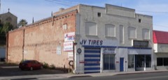
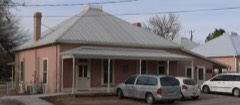
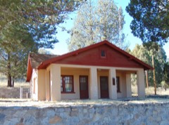
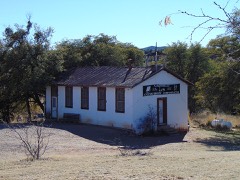
Block
From the record
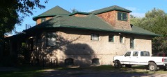
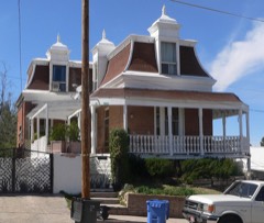
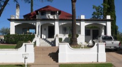
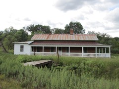
51 National Register listings published here, 2 of them National Historic Landmarks.
Sources: the National Register database, National Park Service
137 topographic sheets and 10 fire insurance atlases across 2 places.
51 National Register listings published here, 2 of them National Historic Landmarks.
Sources: the National Register database, National Park Service
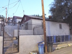
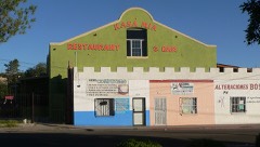
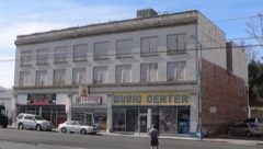
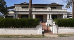
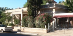
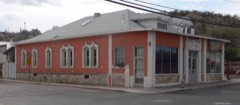
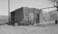
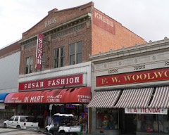
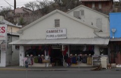
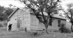
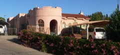
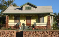
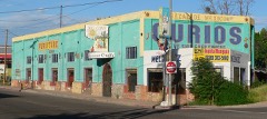
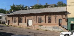
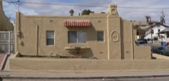
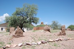
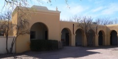
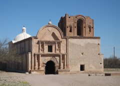
Taken for the Office of War Information and the Farm Security Administration, who photographed the country between 1935 and 1944. Works of United States government photographers, with no known restriction on use. Each opens its catalogue record.
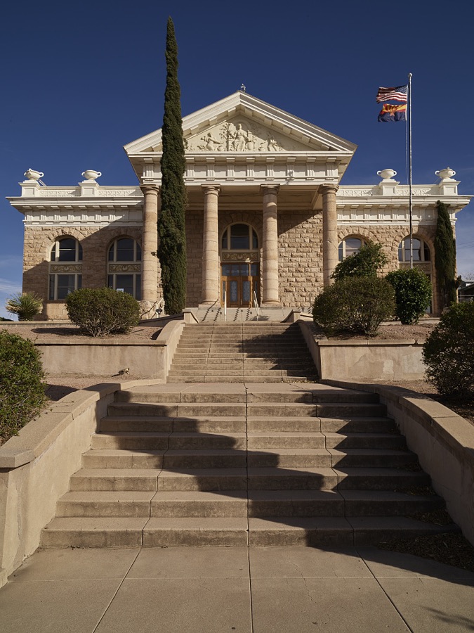
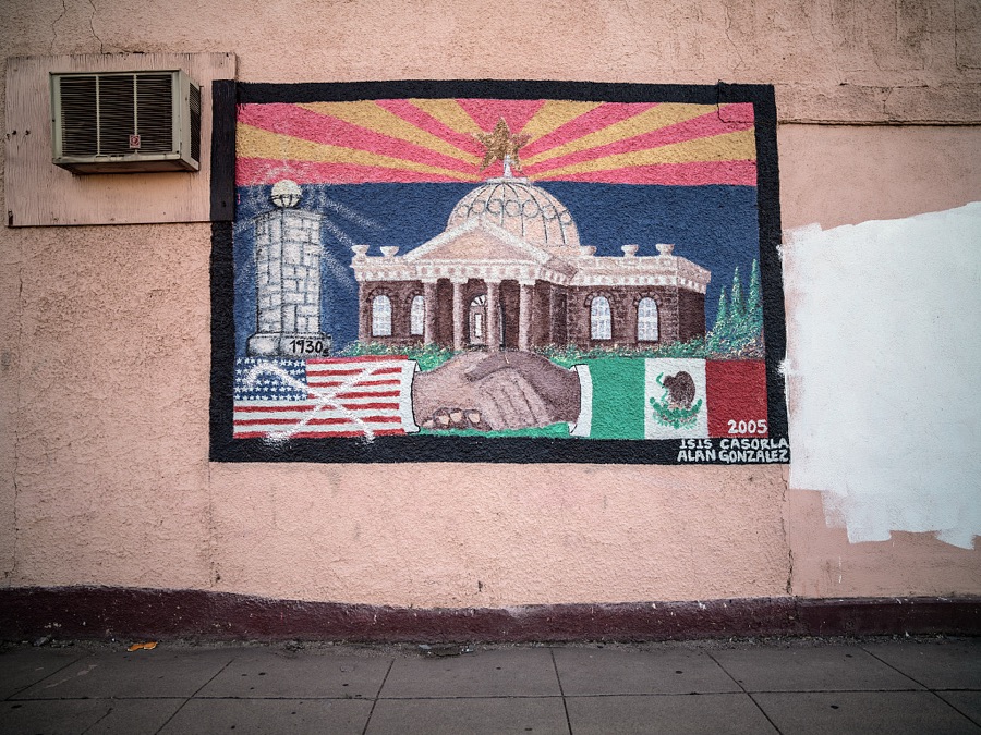
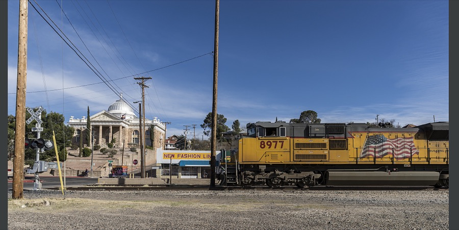
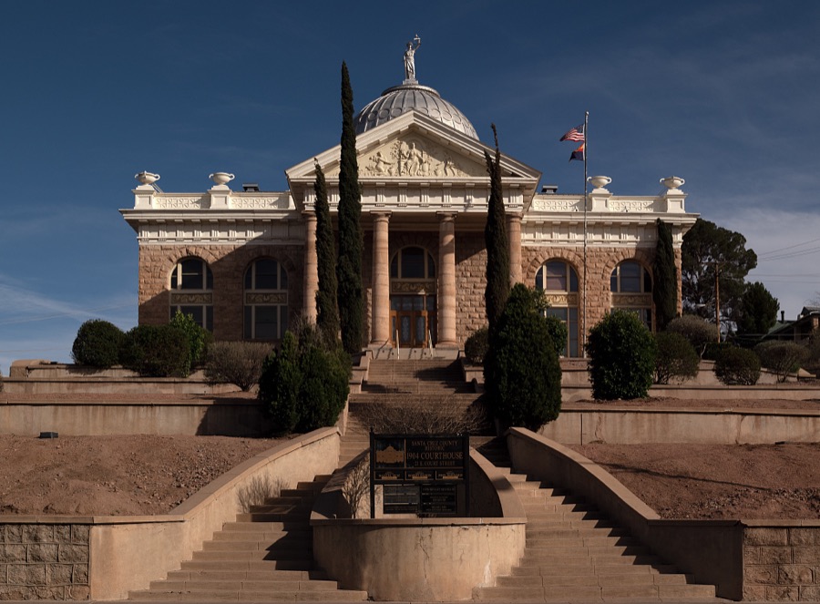
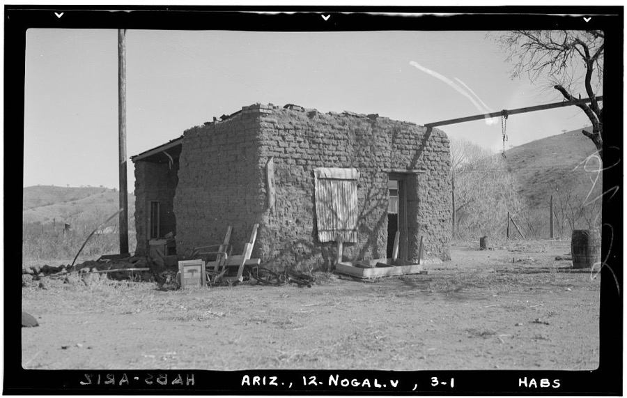
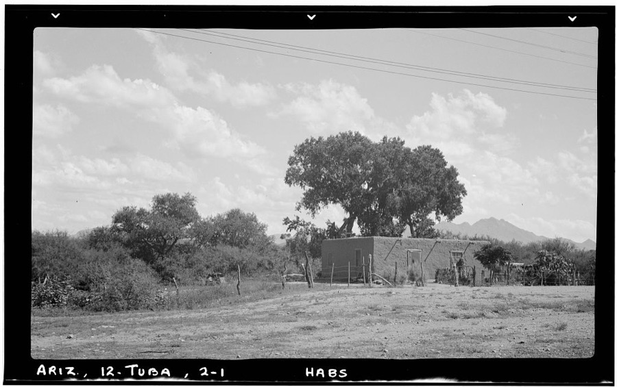
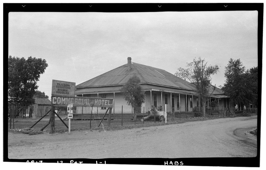
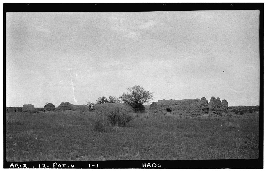
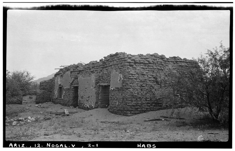
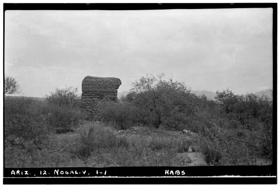
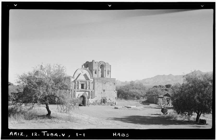
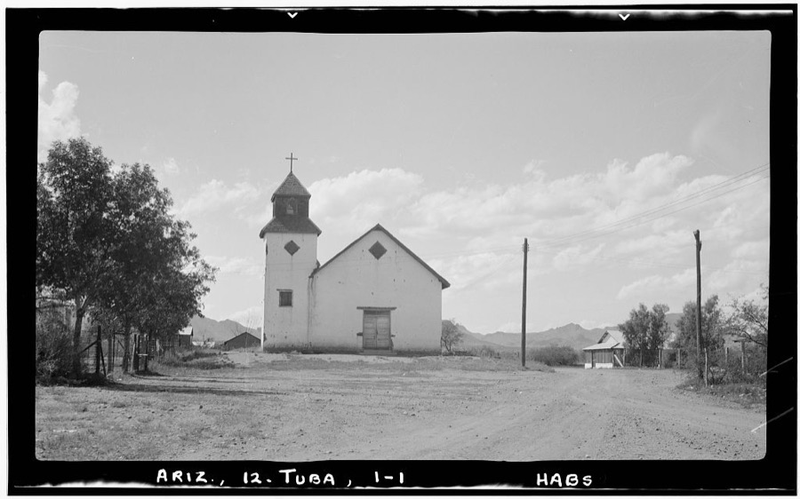
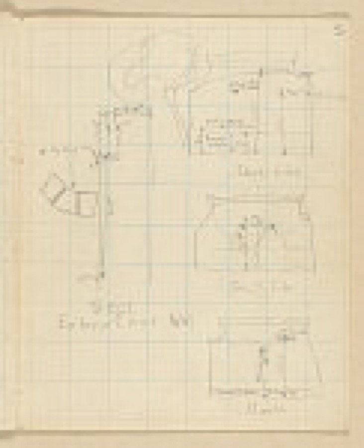
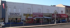
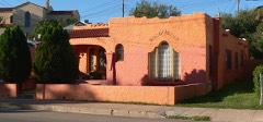
Every property in this county listed on the National Register of Historic Places, with the year it was listed and the federal nomination document.
Sampled issues, machine-read from the Library of Congress scan and published page by page, so every headline and column is searchable text.
Tubac, Ariz., 1859 to 18??. Machine-read from the Library of Congress scan.
Nogales, Ariz., 1917 to 1920. Machine-read from the Library of Congress scan.
Nogales, Ariz., 1914 to 1918. Machine-read from the Library of Congress scan.
Nogales, Ariz., 1925 to 1926. Machine-read from the Library of Congress scan.
Nogales, Ariz., 1926 to 1979. Machine-read from the Library of Congress scan.
Nogales, Ariz., 1894 to 1934. Machine-read from the Library of Congress scan.
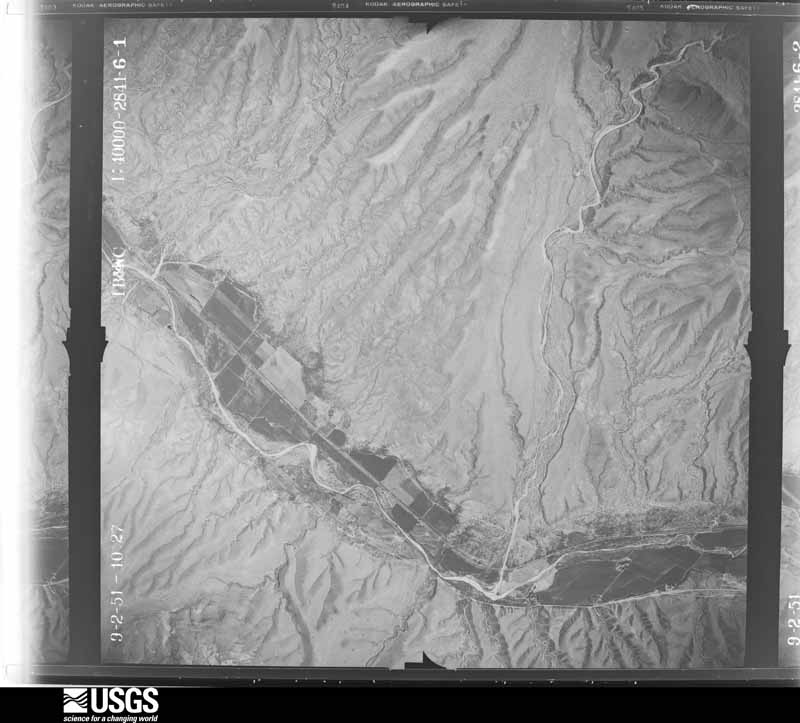
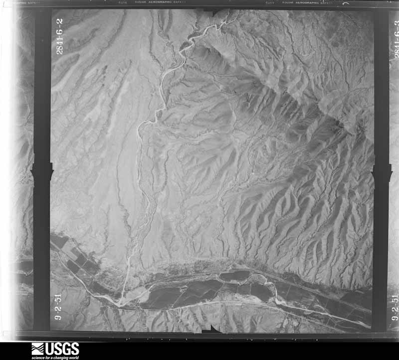
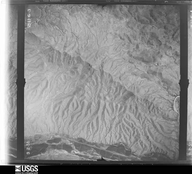
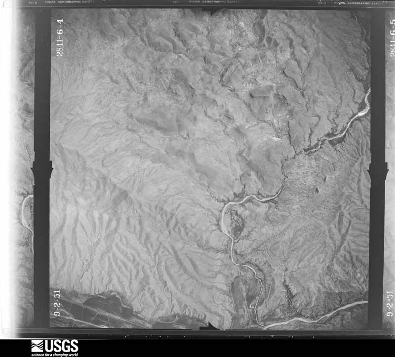
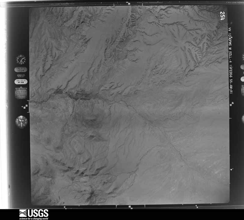
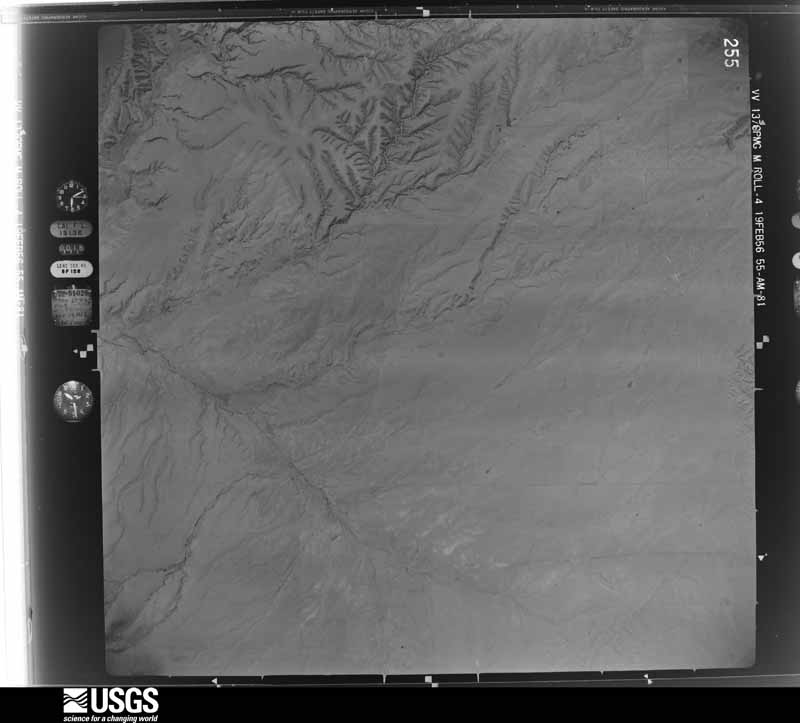
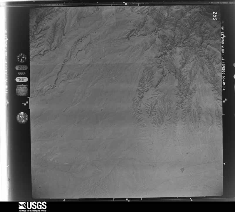
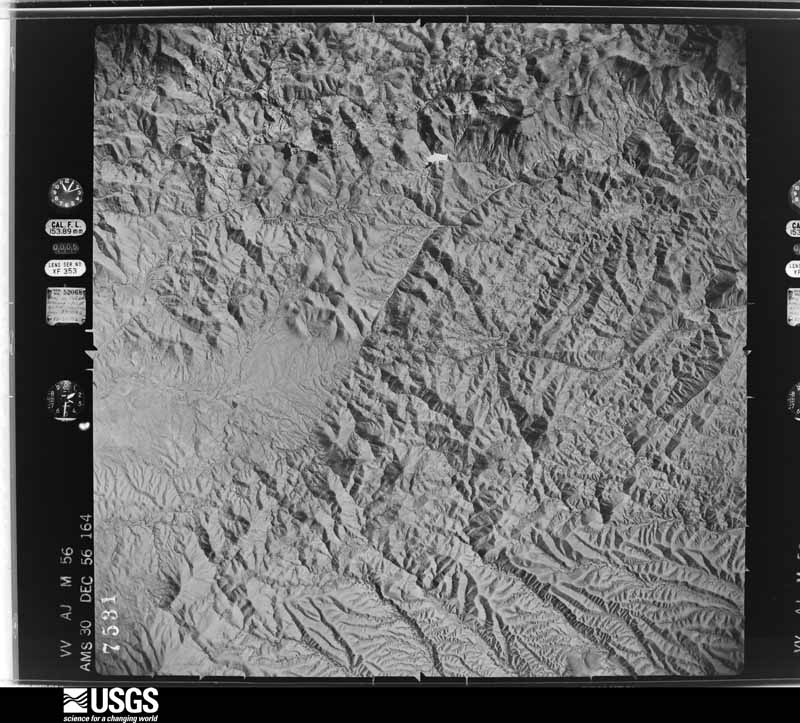
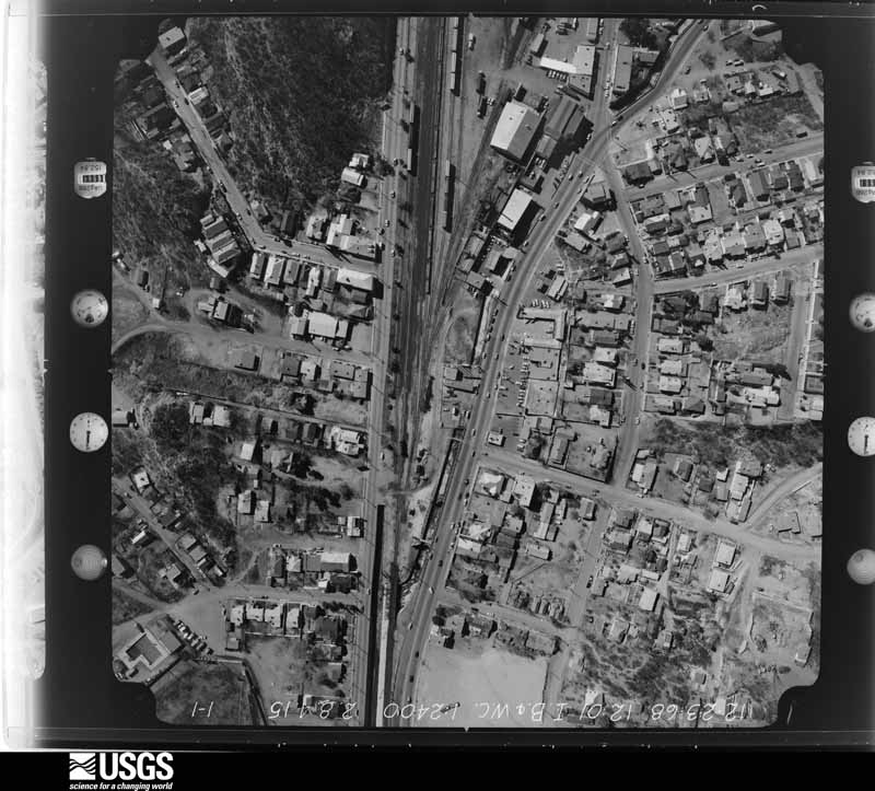
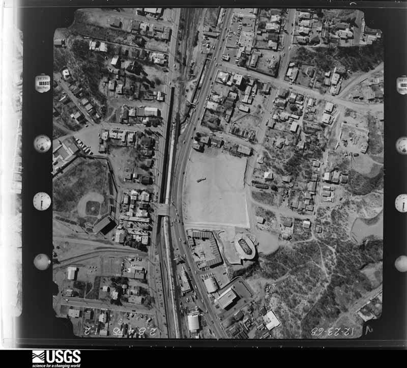
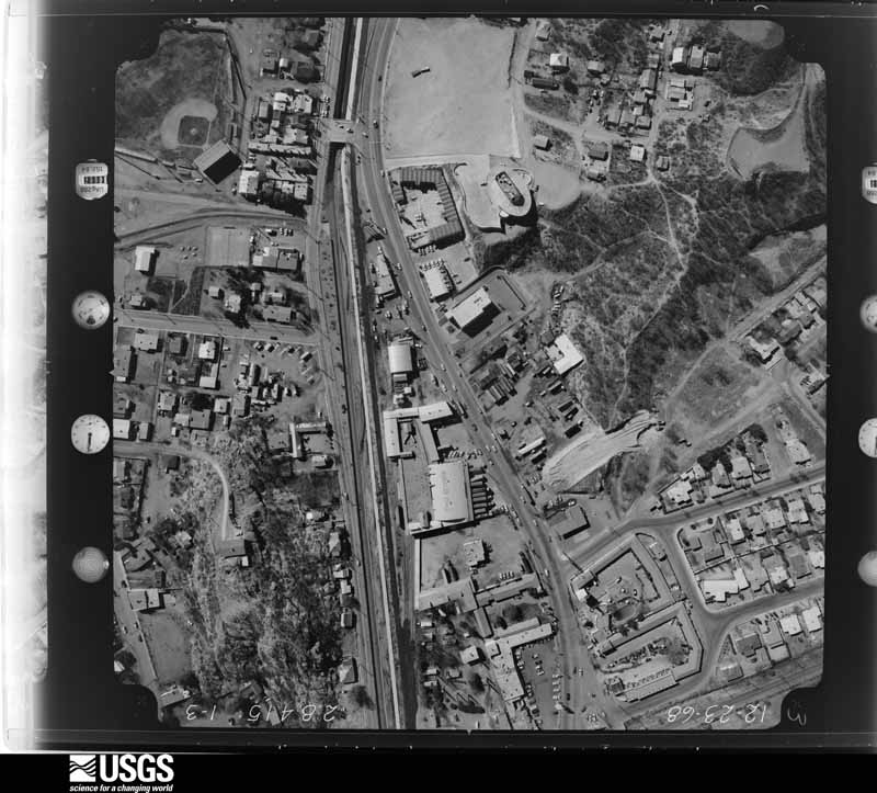
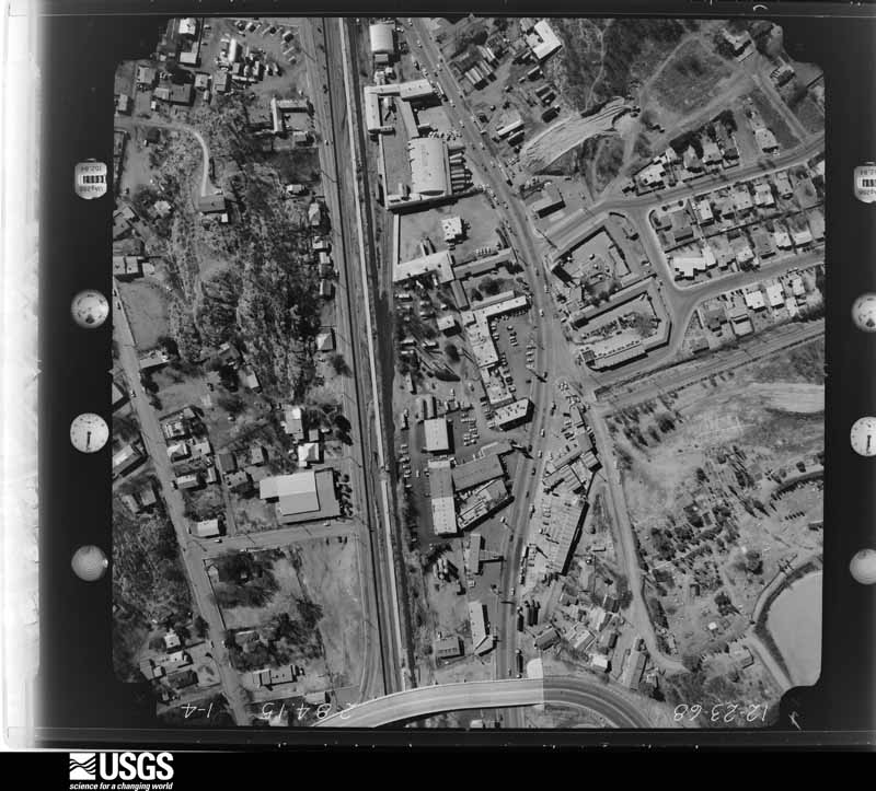
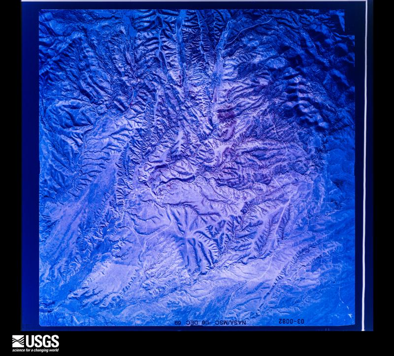
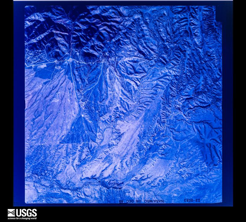
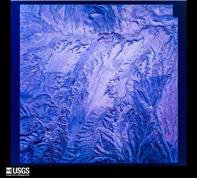
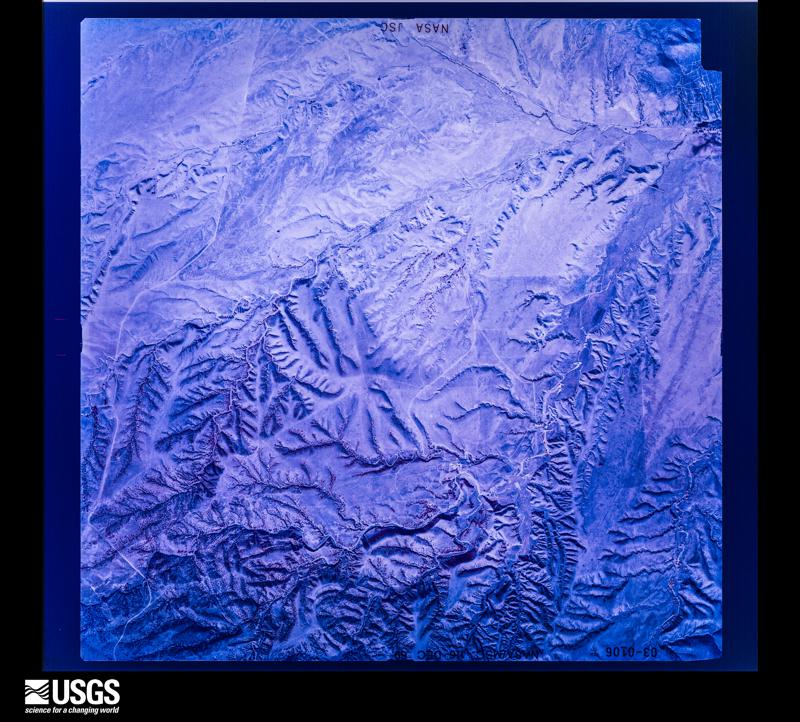
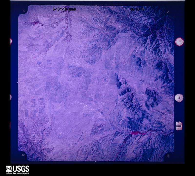
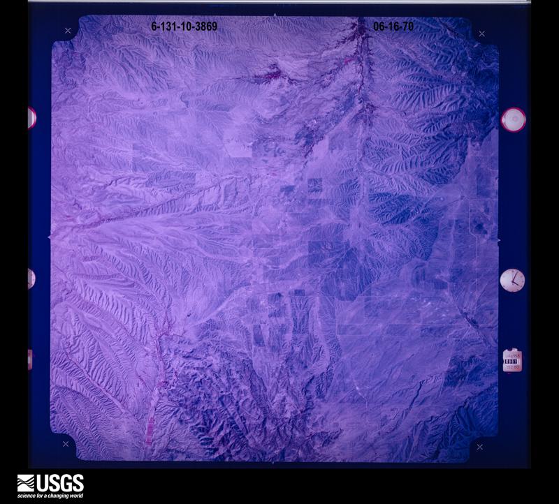
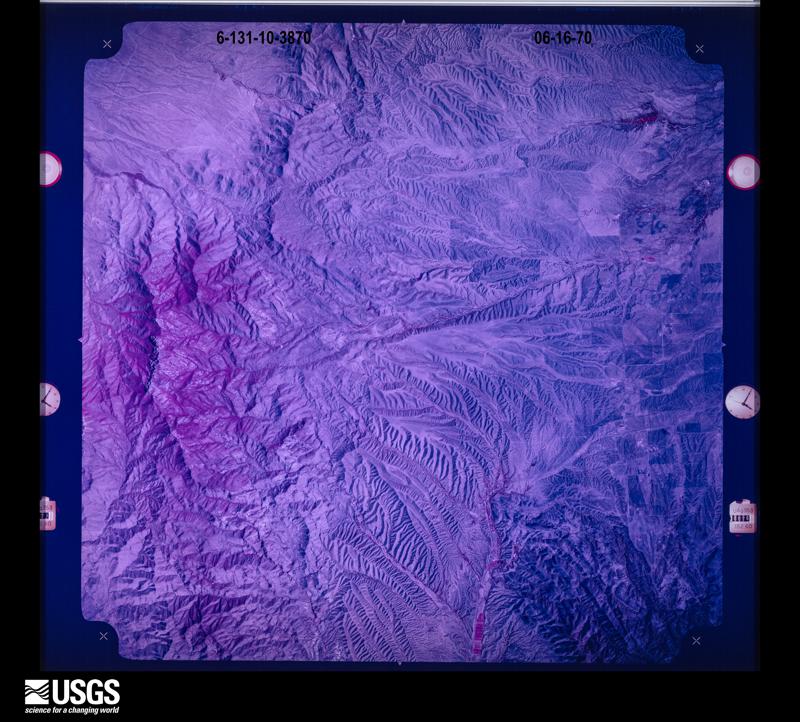
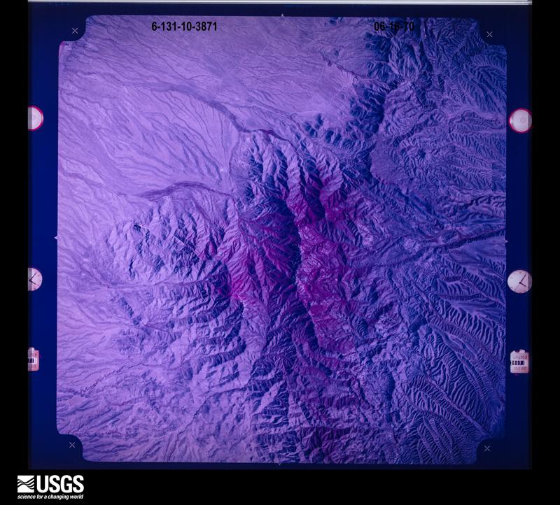
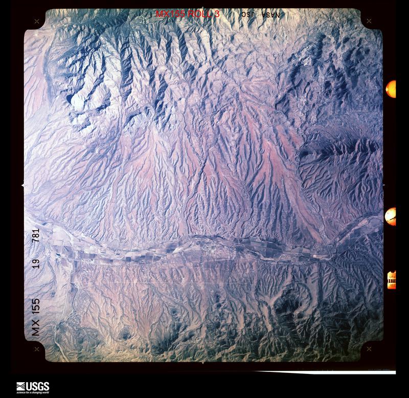
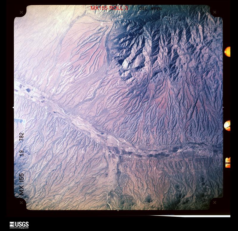
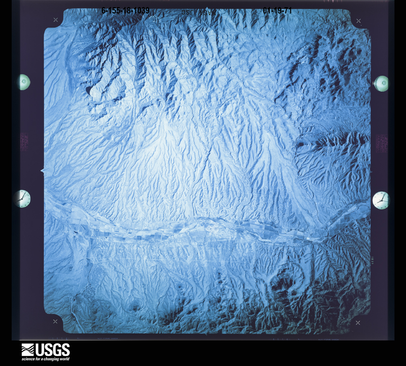
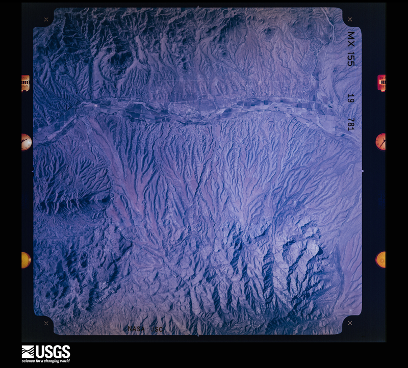
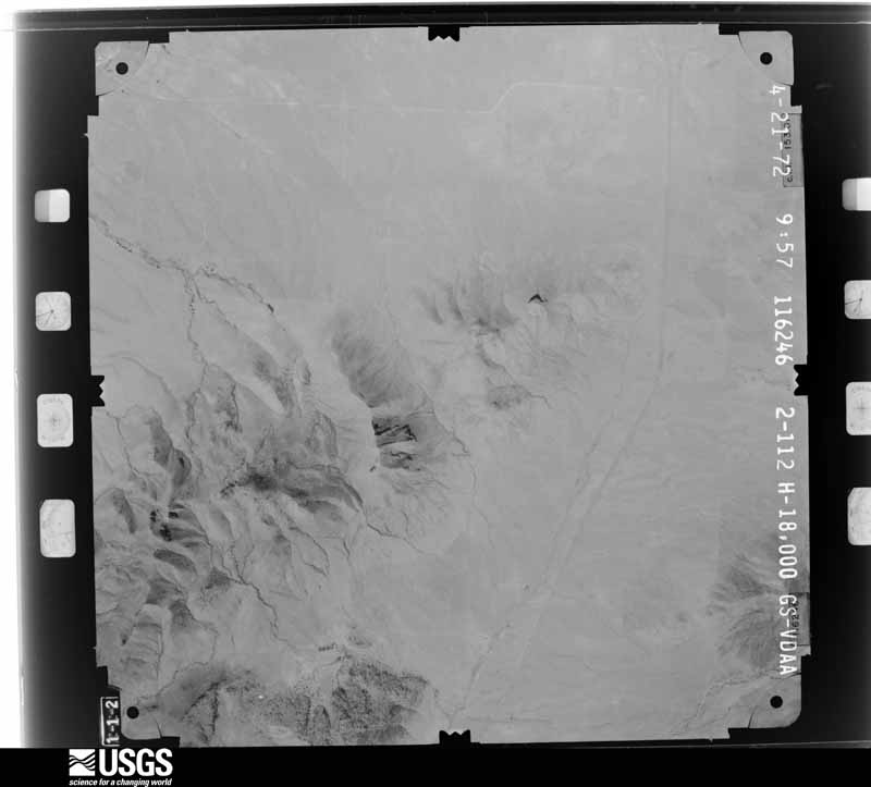
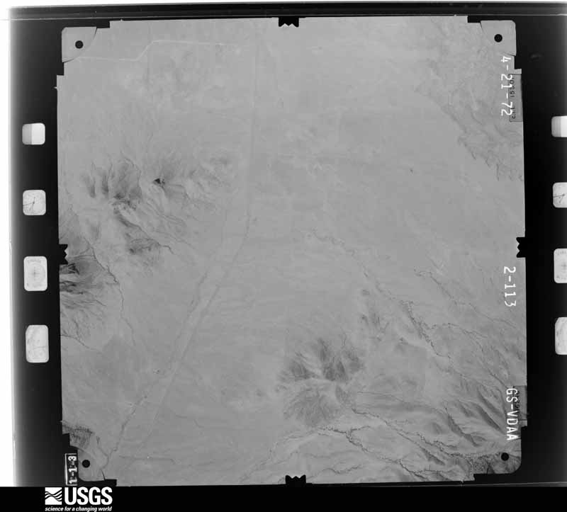
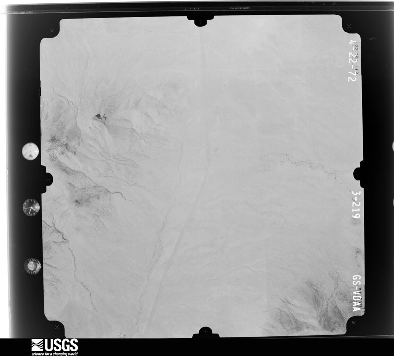
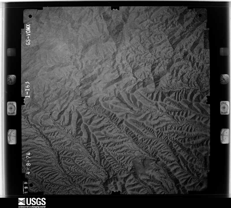
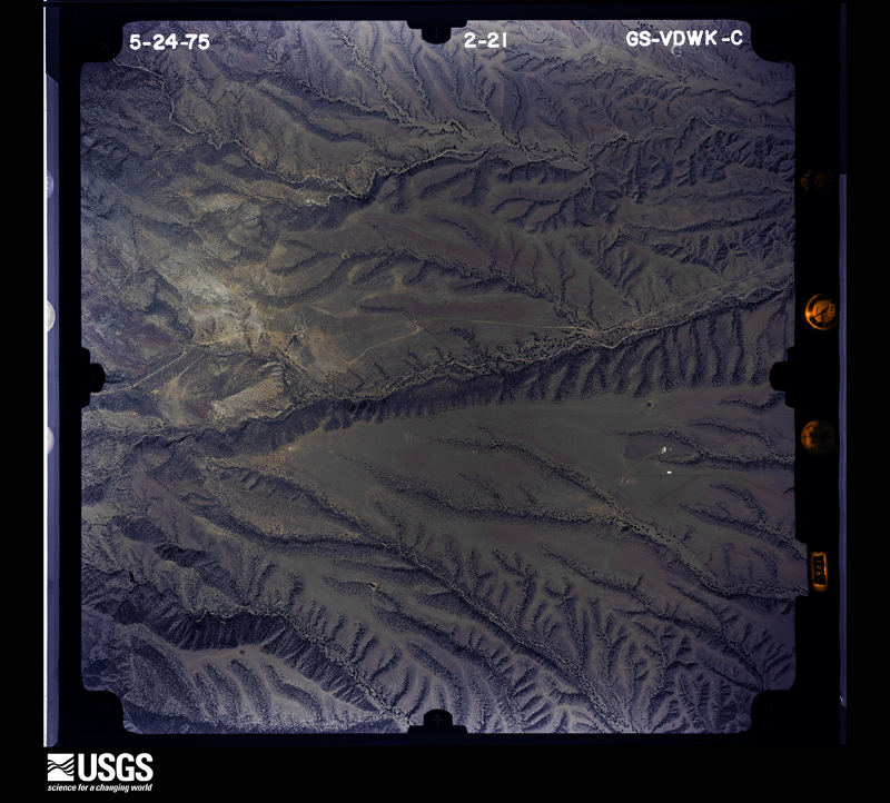
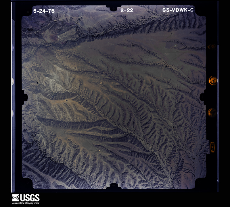
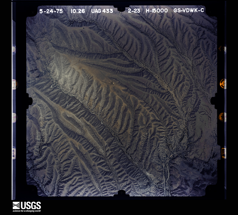
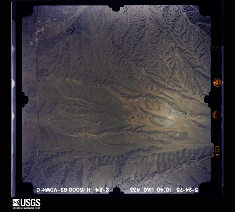
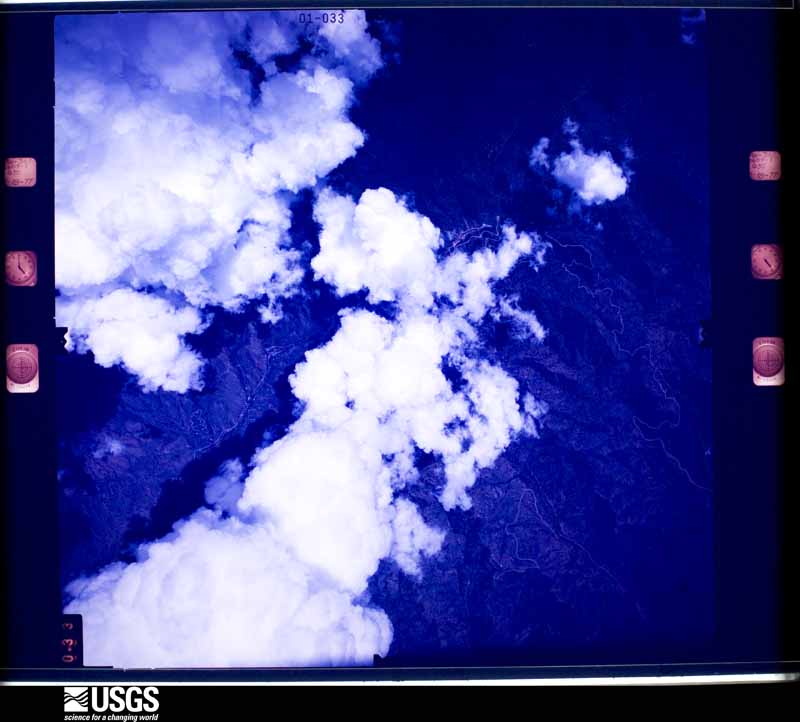
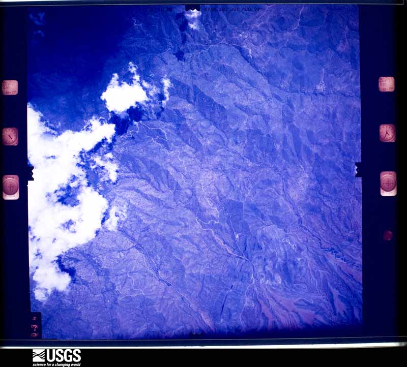
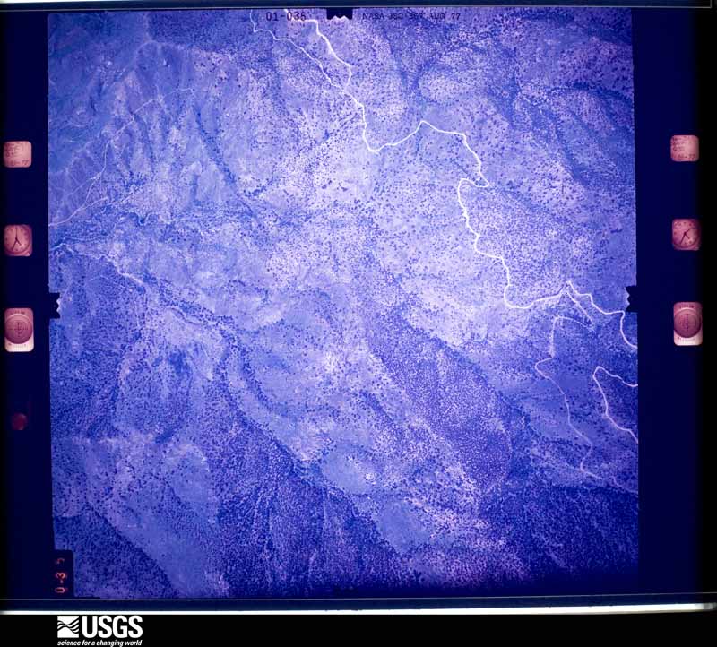
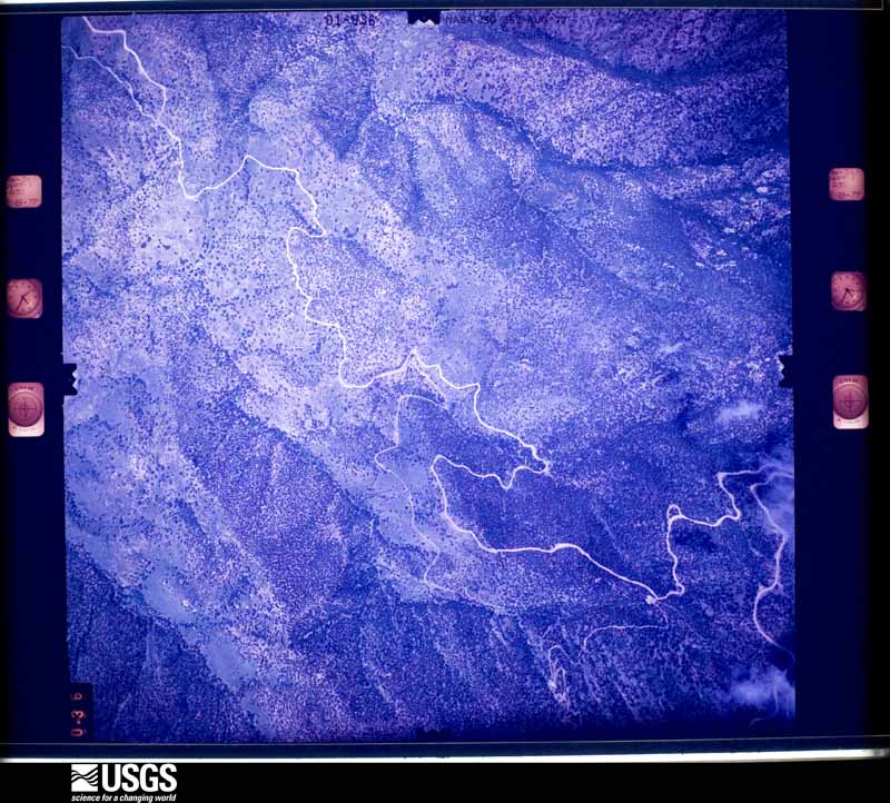
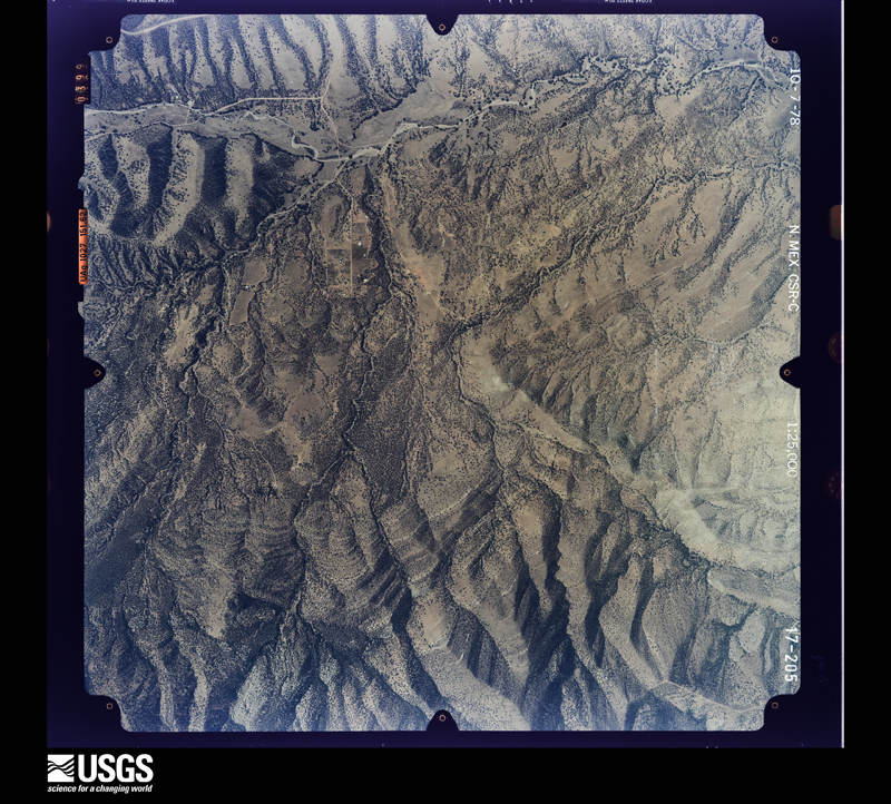
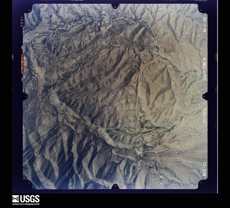
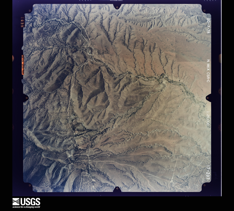
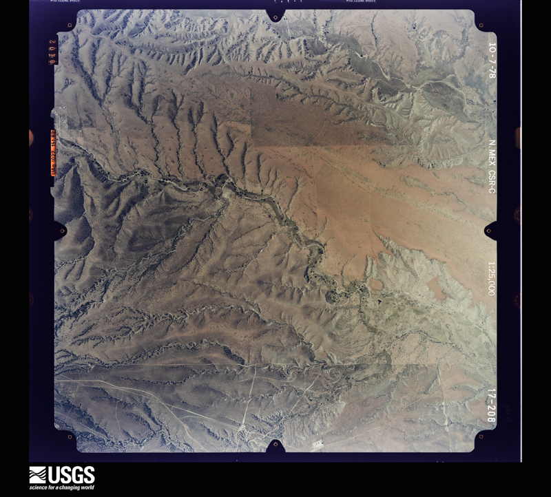
Flown by the U.S. Geological Survey between 1937 and 1989, the Aerial Photo Single Frames collection is the definitive mid-century view of the land: fields, roads and rivers as the camera saw them. The Survey holds 2,361 frames inside the rectangle that bounds this county; the 48 frames below were taken over the county itself, chosen across the decades of flights (at most four a year from that rectangle), so one flight cannot crowd out the rest. The full set is free to browse and download at EarthExplorer under the dataset Aerial Photo Single Frames.
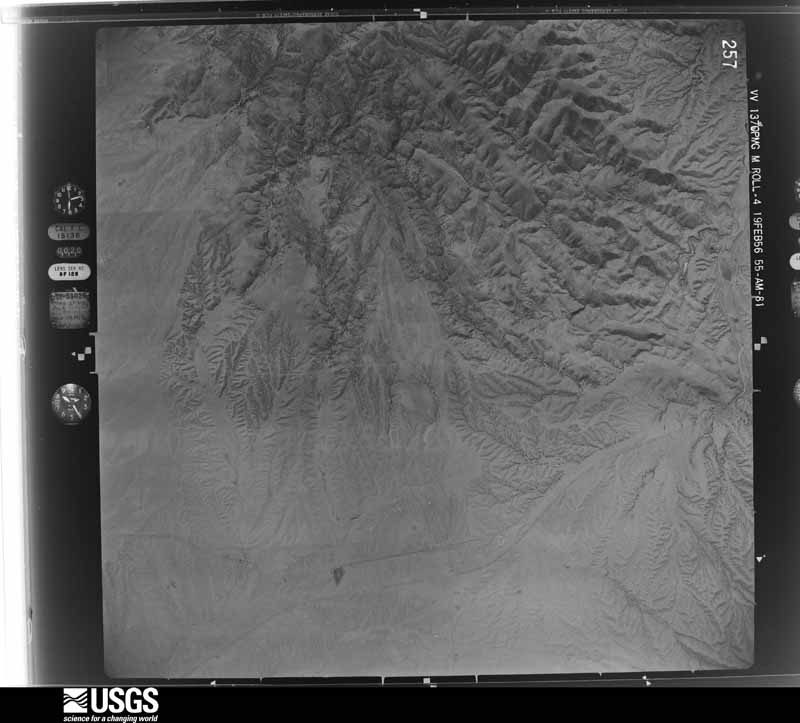
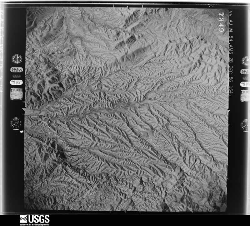
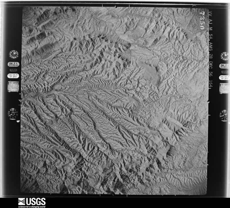
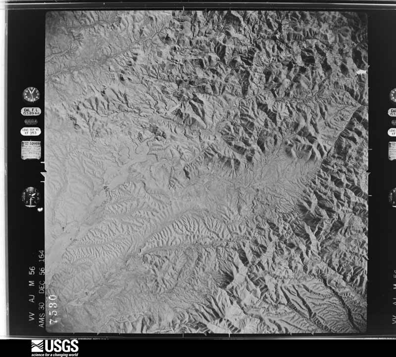
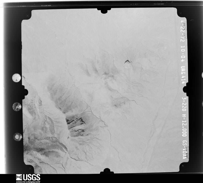
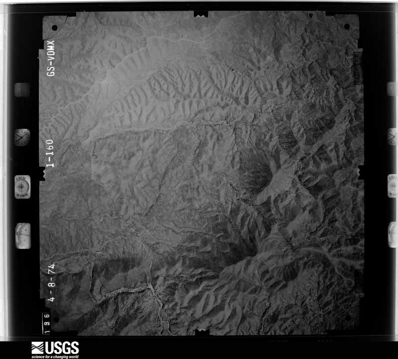
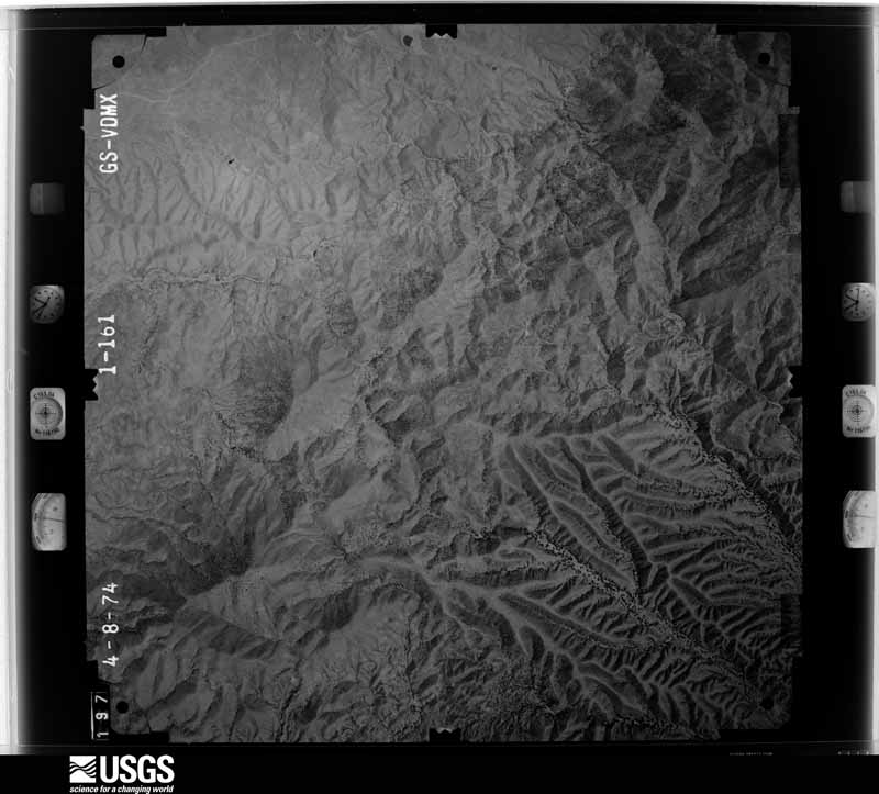
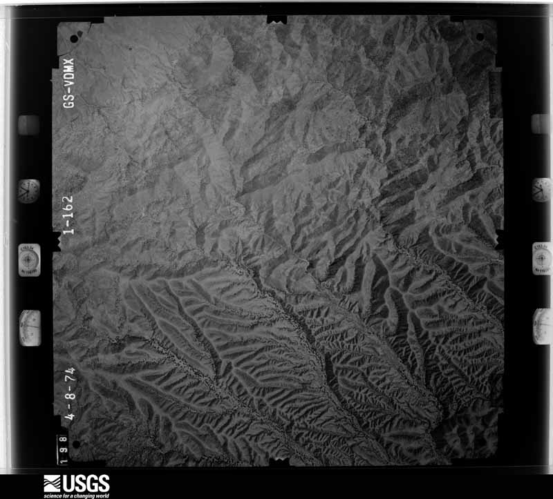
The thermometers that kept this county's weather, and the gages that measured the flow of its streams, as the federal records hold them. The extremes below are measured values from those records, not estimates.
Who lived here in 1950, one enumeration district at a time, as the Census Bureau described each district. Each row opens its official National Archives result, with Population Schedules and ED Maps available there.
Every wildfire the federal occurrence database records inside this county: 1,194 of them, burning about 308,200 acres. 274 started naturally and 33 were recorded as arson. Each settlement page carries the fires within five miles of it.
| Reported cause | Fires |
|---|---|
| Missing data/not specified/undetermined | 541 |
| Natural | 274 |
| Recreation and ceremony | 226 |
| Equipment and vehicle use | 57 |
| Arson/incendiarism | 33 |
| Smoking | 24 |
| Debris and open burning | 14 |
| Power generation/transmission/distribution | 13 |
| Railroad operations and maintenance | 5 |
| Misuse of fire by a minor | 5 |
| Other causes | 2 |
The five largest, by the area the report gives. None of them was recorded as arson.
| Date | Cause | Size | Reported by | Name on the report |
|---|---|---|---|---|
| 30 May 2011 | Missing data/not specified/undetermined | 68,079 acres | Coronado National Forest | MURPHY |
| 29 April 2002 | Recreation and ceremony | 38,179 acres | Coronado National Forest | RYAN |
| 7 July 2005 | Natural | 23,183 acres | Coronado National Forest | FLORIDA |
| 12 June 2002 | Missing data/not specified/undetermined | 16,369 acres | Coronado National Forest | WALKER |
| 17 May 2013 | Recreation and ceremony | 10,775 acres | Coronado National Forest | SOLDIER BASIN |
| 23 May 2011 | Missing data/not specified/undetermined | 10,610 acres | Coronado National Forest | ARLENE |
| 26 April 2011 | Missing data/not specified/undetermined | 9,711 acres | Coronado National Forest | BULL |
| 31 May 2016 | Missing data/not specified/undetermined | 8,522 acres | Coronado National Forest | MULE RIDGE |
Every settlement page carries the fires within five miles of it - see the settlement index below.
The NOAA Storm Events Database holds 219 reports for this county, causing 5 deaths, 12 injuries and about $13,306,800 in recorded property damage. Each settlement page carries the reports that name it.
| Kind of event | Reports |
|---|---|
| Flash Flood | 83 |
| Thunderstorm Wind | 79 |
| Hail | 40 |
| Funnel Cloud | 6 |
| Lightning | 4 |
| Flood | 3 |
| Wildfire | 2 |
| Heavy Rain | 1 |
| Tornado | 1 |
The most serious of them, by death, then injury, then recorded damage. The accounts are quoted exactly as the forecast office filed them.
| When | Event | Place named | Harm | What the report says |
|---|---|---|---|---|
| July 2008 | Flash Flood | Nogales | 2 killed, 3 hurt, $600,000 | Heavy rainfall on the Mexican side of the border caused flash flooding in the city of Nogales, Arizona. This was caused by a damaged portion of the underground Nogales Wash. Local emergency management reported that water burst through the underground wash onto the surface just across the International Border. The border wall acted as a dam, keeping most of the flooding on the Mexican side. However, some water did flow through the port of entry into downtown Nogales, Arizona. Several businesses in the downtown business district experienced flooding and two illegal immigrants found two days later in the underground wash are also believed to have drowned due to this flooding. In addition, three illegal immigrants in an underground flood channel beneath the international border were rescued. |
| July 2004 | Flash Flood | Nogales | 1 killed, 2 hurt | A wall of water swept a woman and two teenage girls off their feet and washed them downstream. The two girls where rescued by local officials, however the woman could not be saved. |
| July 2021 | Flash Flood | Tumacacori | 1 killed, 1 hurt | One inch of rain in less than 90 minutes caused rapid rises in Josephine Canyon. Two teenagers swimming near a waterfall were swept downstream by a rapid rise in the water level. One teenager drowned and another escaped the floodwaters while sustaining minor injuries and was later rescued. |
| July 2014 | Lightning | Sonoita | 1 killed | A 17-year old undocumented boy was struck and killed by lightning near Windmill Drive near Sonoita, Arizona. |
| July 1997 | Flash Flood | Nogales | 3 hurt | Nogales wash overflowed its banks. Several vehicles had to be pulled out of the wash. Several minor injuries were reported |
| June 1996 | Lightning | Tucson | 2 hurt | no account filed |
| August 2007 | Flash Flood | Nogales | 1 hurt | Seven illegal immigrants were saved by the U.S. border patrol in the Nogales wash in the City of Nogales from flash flooding. |
| August 2007 | Flash Flood | Nogales | $10,000,000 | Portions of downtown Nogales experienced flash flooding. Extensive damage occurred to the Nogales Wash, which is a concrete wash that flows through the city of Nogales. City officials estimated damage at $10 million on the U.S. side of the border. |
| September 2018 | Flash Flood | Amado | $750,000 | Thunderstorms produced 3 to 5 inches of rain along Sopori Wash and in Amado, which led to flash flooding in Amado. Water flowed at depths ranging from 2 to 5 feet deep through several commercial properties including a restaurant, feed store, automotive shop, and youth center, causing substantial damage to the buildings and their contents. Additionally, several RVs suffered water damage at a RV storage park. Minor damage also occurred to Arivaca Road and others in the area. |
| June 1996 | Thunderstorm Wind | Thatcher/Safford | $320,000 | no account filed |
| July 2017 | Flash Flood | Nogales | $250,000 | Heavy rain caused two homes were flooded on West and Oak Street, but no injuries were reported. Heavy rain in Nogales, Sonora caused Nogales wash to overflow its banks whch caused road closures at Doe Street, Calle Sonora, Hohokam Street and at the Baffert Drive Bridge. Damage to the Nogales Wash caused by the strong flows, and subsequently the International Outfall Interceptor, were discovered days later. Raw sewage from this line flowed into the wash. This ultimately led to a month long effort by local, state and federal officials to repair the wash and interceptor pipe. The flow was diverted to avoid contaminating water farther downstream, but some contamination of local groundwater likely occurred. The total repair project including labor, fuel, equipment and other resources totaled nearly $5 million. |
| August 2001 | Thunderstorm Wind | Rio Rico | $120,000 | no account filed |
| August 2018 | Flash Flood | Nogales | $100,000 | Heavy rain of one to two inches on both sides of the International Border caused strong flows in Nogales Wash which severely damaged concrete slabs in the part of wash, and exposed the International Outfall Interceptor sewage line. Several streets in Nogales were also flooded with 1 to 2 feet of water. |
| September 2014 | Flash Flood | Nogales | $100,000 | Flash flooding in Nogales occurred late in the evening as Ephraim Wash flooded over Washington Ave, with 2 homes flooded and several families evacuated off of Western Ave around 2200 LST. Nogales Wash also overtopped its banks from Doe St. downstream to Chula Vista Lane. In addition, concrete slabs within the wash were damaged, leaving the International Outfall Interceptor (IOI) that carries 9-12 million gallons of raw sewage from Sonora, Mexico to Rio Rico, exposed. In Rio Rico, Sonoita Creek flooded Pendleton Drive. |
| July 2010 | Flash Flood | Nogales | $100,000 | Flash flooding from rainfall south of the International Border resulting in the Nogales Wash rising 7 feet in 15 minutes. This caused some damage to the bank protection including three concrete panels in the wash. Part of Old Tucson Road, which parallels the wash, was partially eroded. |
| April 2002 | Wildfire | Canelo | $90,000 | no account filed |
| May 2002 | Wildfire | Canelo | $90,000 | no account filed |
| July 2014 | Flash Flood | Nogales | $50,000 | Heavy rain on both sides of the International Border caused strong flows in Ephraim Wash. An unopened gate along the International Border fence collapsed sending an additional surge of water through Ephraim Wash which topped the Leyva Bridge and spilled onto Western Avenue in Nogales. Five people were rescued from a vehicle as they tried to flee the area. A total of 10 people from two homes were evacuated. The homes were flooded to a depth of three feet while 8 vehicles were damaged by flood waters. |
| July 2017 | Flash Flood | Nogales | $40,000 | A border patrol SUV parked near the international border and the Santa Cruz River became stuck in the mud and became overrun by the floodwaters of the Santa Cruz River. |
| July 2014 | Flash Flood | Nogales | $30,000 | Heavy rain in both Nogales, Sonora and Nogales, AZ caused flash flooding in several locations. Up to 0.75 inches of rain in 20 minutes along with pea-size hail were reported. Many businesses sustained water damage along Hohokam Drive when the Nogales Wash over-topped its banks. One car was swept down Nogales Wash near the Grand Ave/Hohokam Drive bridge with nobody inside. |
| August 2012 | Flash Flood | Nogales | $30,000 | Between two and four inches of rain fell across parts of Santa Cruz County. Several motorists were rescued from their vehicles in Nogales and Rio Rico as water ran across roads to depths over three feet in some spots. Another swift water rescue occurred at the Potero Wash along South River Road. In addition, Nogales Wash came out of its banks and flooded nearby businesses in Nogales. |
| August 2005 | Flash Flood | Madera Canyon | $30,000 | A mudslide and flooding event occurred in Madera Canyon after significant rainfall. This area is flood prone due to the fire that occurred only a month before. Large boulders and trees were moved with the mud and water down the mountain, doing damage to one residence. No one was injured. |
| July 1998 | Flash Flood | Nogales | $30,000 | 2-3 feet of water flooded the Monta Carlo neighborhood damaging many houses. The Nogales sheriff also reported flooding of South River Road and along highway 82 in Nogales. |
| October 1997 | Flash Flood | Nogales | $30,000 | Thunderstorms dumped between 2-3 inches of rain over the western portion of Nogales causing flash flooding that damaged about 100 homes and 30 businesses. The flooding forced the evacuation of 150 residents from their homes. The floodwaters carried 5 vehicles down Western Avenue, the most heavily damaged street. |
| July 2003 | Hail | Tubac | $30,000 | no account filed |
| July 2002 | Flash Flood | Nogales | $30,000 | no account filed |
| August 2024 | Flash Flood | Nogales | $25,000 | Heavy rain due to a thunderstorm caused a car to get stuck in a neighborhood wash drainage across intersection of E Calle Sonora and N Calle Guadalupe. |
| October 2018 | Flash Flood | Nogales | $25,000 | Nogales wash over-topped its banks. Flood waters dislodged and cracked three concrete panels that line the wash. |
| July 2016 | Thunderstorm Wind | Nogales | $25,000 | Thunderstorm winds blew a roof off a home and damaged trees and power lines in the Royal Road area of Nogales. |
| July 2013 | Thunderstorm Wind | Sonoita | $25,000 | Thunderstorm winds peeled a metal roof off a residence and damaged several small outbuildings and trailers near Sonoita. |
| August 2012 | Flash Flood | (Ols) Nogales Intl Arpt | $25,000 | Thunderstorms produced between 2 and 3 inches of rain in less than one hour in Nogales. Rainfall totals reached over 4 inches in some locations. The result was severe urban flooding with water as deep as three feet in the streets of Nogales. Several motorists were rescued from the flood waters in the city and at least one home was flooded with a foot of water. The Nogales Wash briefly topped its banks, covering the railroad tracks which halted all rail traffic into Mexico. Flood waters caused a 20 foot retaining wall to collapse. Debris flew threw a window, crushing an air conditioning unit and allowing water and mud inside the home. Flood waters also damaged an underground telephone cable leaving about 200 customers without telephone service. |
| July 2010 | Thunderstorm Wind | Calabasas | $25,000 | A severe thunderstorm microburst produced damaging winds in Rio Rico. A portion of a home's roof was blown off, and brought down a power line as it landed in Rio Rico Drive. Thunderstorm winds also blew down several dying trees between the Santa Cruz River bridge and the railroad tracks, and blew down a cyprus tree onto the roof of a home on East Rio Rico Drive. Winds were measured on a neighbor's anemometer at 75 mph. |
| August 2007 | Thunderstorm Wind | Sonoita | $25,000 | A severe thunderstorm near Sonoita caused several downed power lines and damage to two residences. |
| August 2003 | Flash Flood | Sonoita | $24,000 | no account filed |
| July 2014 | Flash Flood | Nogales | $20,000 | Heavy rain of over 2 inches in less than one hour fell in Nogales, Sonora, Mexico, causing catastrophic flooding there. Runoff crossing the border combined with brief heavy rain in Nogales, Arizona caused flooding and the closure of the DeConcini Port of Entry until 10 pm MST for the first time in history. Runoff into Nogales Wash burst from manholes into Nogales, Arizona. As the the Nogales Wash emerged above ground, it over-topped its banks and caused street flooding. |
| August 2011 | Thunderstorm Wind | Calabasas | $20,000 | Thunderstorms winds downed trees and power poles in Rio Rico along Interstate 19. |
| July 2006 | Flash Flood | Rio Rico | $20,000 | At 1600 MST a trained spotter in the Community of Tubac reported that the washes were running very high and that about 2 inches of rain had fallen in that area. Again around 1600 MST the Santa Cruz County Flood Control Official reported flooding in the Community of Tumacacori. The official reported that a box culvert had overtopped near the frontage road of Interstate 19. A private residence had one foot of water enter the home and the visitor center at the Tumacacori National Monument also had a foot of water flood their property. Additionally, at 1640 MST the Santa Cruz County Flood Control Official reported that 8 inches of water was flowing over Interstate 19 at the Chavez Siding Road exit. Two vehicles were reported to be stuck in the flood water at the underpass located near the same exit. |
| August 2004 | Flash Flood | Rio Rico | $20,000 | Significant rain fell in the town of Rio Rico causing significant street flooding as well as homes being flooded and property being ruined. High water flowed down the streets, causing them to be impassable. 7 homes were flooded, some with damage. The force of the water also knocked a block wall down along one backyard. |
| July 2021 | Flash Flood | Nogales | $15,000 | One to two inches of rain fell in less than 1 hour in Nogales and caused flash flooding of several roads and minor damage to a couple of homes near Western Ave. |
| August 2016 | Flood | (Ols) Nogales Intl Arpt | $15,000 | Three to four inches of rainfall in 1 to 2 upstream, Sonoita Creek overtopped the spillway at Patagonia Lake and flooded areas below the Lake downstream to Rio Rico. A portion of Pendelton Drive near Avenida Coatimundi in Rio Rico where Sonoita Creek crosses the road was barricaded during the day. At 2115 LST a motorist was stranded after he drove around the barricades and attempted to cross the water. |
| August 2016 | Flash Flood | Nogales | $15,000 | Nearly two inches of rain in parts of Nogales, Sonora caused Nogales Wash to overtop the Doe St. bridge in Nogales, Arizona. As a result, businesses were flooded along Hohokam Drive with surface runoff 8 inches deep. Morley Avenue was also flooded. |
| August 2011 | Thunderstorm Wind | Canelo | $15,000 | The highest of several measured thunderstorm gusts in excess of 60 mph ripped a roof off a barn in Canelo. |
| August 2024 | Thunderstorm Wind | (Ols) Nogales Intl Arpt | $10,000 | Nogales International Airport measured a wind gust of 75 mph. Video from social media showed multiple large trees down in a parking lot in Nogales due to severe wind gusts. |
| August 2016 | Flash Flood | Patagonia | $10,000 | Three to four inches or more of rainfall in one to two hours caused Sonoita Creek to overflow its banks into parts of Patagonia. Eight mobile homes were evacuated as a precaution with water 18 inches deep surrounding them. An additional 14 homes were also evacuated. Only minimal damage occurred to the skirting of these homes since they were elevated off the surface. |
| August 2012 | Thunderstorm Wind | (Ols) Nogales Intl Arpt | $10,000 | Thunderstorm winds registered a gust to 66 mph at the Nogales Airport then caused major roof to a home on the eastern side of the city along Royal Road. |
| August 2010 | Hail | Elgin | $10,000 | An owner of a grape vineyard in Elgin reported hail for 15 minutes with the largest being golf ball size (1.75). Damage to the vineyard was extensive, with nearly all the 2010 grape crop lost. Crop losses at this one vineyard were estimated at six tons which translated to between 10 and 15 thousand dollars, ultimately resulting in a loss of wine valued at 100 to 150 thousand dollars. Extensive damage was also sustained at other vineyards in area. Hail also dented vehicles and broke their windows. |
| July 2005 | Thunderstorm Wind | Patagonia | $6,000 | Strong thunderstorm winds near the Town of Patagonia caused a several hundred pound storage shed to be damaged when blown across a yard. Also shingles were torn off several roofs in a neighborhood. |
| June 2025 | Lightning | Sonoita | $5,000 | Sulphur Springs Valley Electric Company reported outages for roughly 1,400 people in Sonoita, Whetstone, Benson, and Wilcox due to multiple thunderstorm hazards including lightning, fallen branches, and heavy rain that arched power lines. |
| July 2022 | Thunderstorm Wind | Nogales | $5,000 | Thunderstorm winds downed a tree and blew part of the roof off a mobile home on W. Manor Dr. in Nogales. |
| August 2022 | Flash Flood | Canelo | $5,000 | One inch of rain in less than 1 hour caused flash flooding near State Route 83 in the Lyle and Brushy Canyon areas south of Canelo. Two occupants of a pickup truck were rescued from three feet of flowing water. |
| July 2014 | Thunderstorm Wind | Tubac | $5,000 | Several power poles were blown down as well as a fence in Tubac due to severe thunderstorm winds. |
| August 2005 | Flash Flood | Amado | $5,000 | Two miles south of the Town of Amado a burm failed and caused two to three feet of water to run through a local farm, causing damage to crops and equipment in the field. |
| July 2004 | Flash Flood | Nogales | $5,000 | Law enforcement reported that a vehicle was stuck in the Nogales wash. The vehicle became stuck when the driver tried to cross a roadway that was flooded by the wash. |
| October 2000 | Flood | Nogales | $5,000 | Road closures at Tumacacori Santa Gertrudis Lane and Tubar Chavez Sidind Road due to flooding. Also, 100 yards of South River Road was washed out. |
| October 2000 | Flood | Harshaw | $5,000 | Harshaw Road washed out and damaged badly. |
| August 1997 | Flash Flood | Nogales | $5,000 | The Mia Casa mobile home park in the west portion of Nogales was flooded with water 3-4 feet deep. Damage to a few cars and several homes. |
| July 2003 | Thunderstorm Wind | Rio Rico | $5,000 | no account filed |
| July 2003 | Thunderstorm Wind | Elgin | $5,000 | no account filed |
| August 2001 | Hail | Rio Rico | $5,000 | no account filed |
| August 2020 | Thunderstorm Wind | Amado | $3,000 | A line of thunderstorms produced damaging winds that downed several trees in Amado. One of the trees downed a power line that caused a power outage to 200 customers for two hours. Winds also ripped a gate from its hinges at one residence. Additionally, a wind gust to 78 mph was recorded at the Hopkins RAWS station at 7100 feet MSL. |
The Survey's mineral resources record lists 604 workings inside this county. 70 still produce and 534 are closed or unrecorded. Each settlement page carries the workings within five miles of it.
| Commodity | Workings |
|---|---|
| Copper | 104 |
| Lead, Silver | 81 |
| Gold | 69 |
| Gold, Silver | 57 |
| Copper, Silver | 47 |
| Lead | 42 |
| Copper, Lead | 35 |
| Lead, Zinc | 30 |
| Silver | 27 |
| Manganese | 25 |
| Silver, Gold | 23 |
| Silver, Lead | 23 |
| Copper, Gold, Zinc | 22 |
| Copper, Gold | 20 |
The least common of them first, because a county's hundredth gravel pit says nothing its first ten did not.
| Where | Site | Commodity | Status | Recorded |
|---|---|---|---|---|
| Alta Mine | Lead, Silver, Copper, Gold, Zinc, Fluorine-Fluorite | Past Producer | 1875, 1877, 1952 | |
| Alto Mine Group | Lead, Silver, Copper, Gold, Stone, Zinc | Past Producer | ||
| Alto Vein Swarm | Lead, Silver, Copper, Zinc, Gold, Molybdenum, Antimony, Barium-Barite, Uranium | Past Producer | 1687, 1959 | |
| Amado | Marble, Dimension, Limestone, General | Past Producer | Limestone, Marble | |
| American Mine | Copper, Gold, Lead, Silver, Zinc | Past Producer | ||
| Anderson Group | Gold, Silver, Lead, Vanadium | Past Producer | ||
| Annie Laurie | Lead, Uranium, Copper, Zinc | Prospect | 1948 | |
| Annie Laurie Prospect | Lead, Zinc, Manganese, Copper, Uranium, Fluorine-Fluorite, Travertine | Occurrence | 1948 | |
| Arizona Blue Fire Opal | Semiprecious Gemstone | Producer | ||
| Augusta Mine | Lead, Silver, Manganese, Gold, Zinc | Past Producer | ||
| Belmont Mine | Copper, Zinc, Gold, Lead, Molybdenum, Silver | Past Producer | ||
| Bennett Mine | Copper, Lead, Molybdenum, Zinc | Past Producer | ||
| Benton Mine | Copper, Molybdenum, Gold | Occurrence | 1882 | |
| Big Lead Mine | Copper, Lead, Molybdenum, Antimony, Gold, Silver | Past Producer | ||
| Black Copper Queen | Copper, Silver, Bismuth, Gold, Indium, Zinc | Prospect | ||
| Black Eagle Mine | Manganese, Silver, Lead, Copper, Gold | Producer | 1875, 1918, 1930 | |
| Blacksmith | Lead, Copper, Silver, Zinc, Gold | Past Producer | ||
| Blue Bird Group | Tungsten, Beryllium, Antimony, Manganese | Prospect | 1957 | |
| Blue Eagle Mine | Copper, Silver, Lead, Zinc, Gold | Producer | 1897, 1903, 1956 | |
| Blue Nose Mine | Silver, Lead, Gold, Copper, Zinc, Manganese | Past Producer | 1880, 1884, 1956 | |
| Blue Nose Mine | Lead, Silver, Zinc, Manganese | Past Producer | ||
| Bonanza Mine | Copper, Lead, Silver, Zinc, Gold, Manganese, Molybdenum | Past Producer | 1882, 1889, 1961 | |
| Bonnie Carrie | Lead, Silver, Antimony, Copper, Gold, Zinc | Past Producer | ||
| Bowling Green Mine | Lead, Silver, Copper, Gold, Uranium | Past Producer | ||
| Bullwhacker Mine | Lead, Silver, Manganese, Copper, Zinc, Gold | Producer | 1880, 1948 | |
| California - Grasshopper Prospects | Lead, Zinc, Copper, Silver, Gold | Past Producer | 1900, 1951 | |
| Chief | Lead, Silver, Copper, Gold, Zinc, Antimony | Past Producer | ||
| Choctaw Mine | Lead, Zinc, Silver, Copper, Gold, Bismuth | Past Producer | 1893 | |
| Christmas Gift Mine | Lead, Silver, Copper, Gold, Zinc, Manganese | Producer | 1885, 1890, 1938 | |
| Colossa | Manganese, Iron, Silica | Producer | ||
| Concha Limestone Deposit | Limestone, Dimension, Stone, Crushed/Broken | Unknown | ||
| Coronado Mines Inc | Copper, Lead, Antimony, Molybdenum, Gold | Past Producer | ||
| Cramer Mine | Gold, Silver, Copper, Iron, Manganese | Past Producer | Gold, Iron, Silver | |
| Dave Allen Mine | Silver, Copper, Lead, Zinc, Gold | Past Producer | Chalcopyrite, Galena, Gold, Sphalerite | |
| Denver Mine | Lead, Copper, Gold, Molybdenum, Silver, Zinc | Past Producer | ||
| Dixie Mine | Lead, Silver, Emery, Copper, Zinc | Past Producer | 1911 | |
| Double Standard Mine | Silver, Lead, Copper, Zinc, Gold | Past Producer | 1900, 1951 | |
| Double Standard Mine Dudley | Zinc, Copper, Gold, Lead, Silver | Past Producer | ||
| Duquesne Mine | Lead, Zinc, Gold, Manganese, Silver, Copper | Past Producer | ||
| Duquesne-Washington Camp Area Wollastonite | Silver, Zinc, Copper, Lead, Wollastonite | Past Producer | Wollastonite | |
| Dura Mine | Silver, Lead, Gold, Antimony, Molybdenum | Producer | Chalcopyrite, Galena, Malachite, Pyrite, Stibnite, Wulfenite | |
| Dura Mine Group | Gold, Lead, Antimony, Molybdenum, Silver | Past Producer | ||
| Edna Group | Copper, Antimony, Gold, Lead, Molybdenum | Past Producer | 1914 | |
| Emma | Lead, Silver, Copper, Manganese | Producer | ||
| Endless Chain | Copper, Lead, Molybdenum, Silver | Past Producer | ||
| European Mine Group | Silver, Copper, Tungsten, Zinc, Gold, Lead, Molybdenum | Past Producer | ||
| Exposed Reef Mines | Copper, Silver, Lead, Zinc, Gold, Iron | Producer | 1875 | |
| Farmer Mine | Gold, Lead, Copper | Past Producer | ||
| Flagstone Deposit | Flagstone | Occurrence | ||
| Four Metals | Copper, Tungsten, Zinc, Gold, Molybdenum, Silver | Past Producer | ||
| Franklin Deposit | Copper, Lead, Silver, Gold | Occurrence | ||
| Gladstone Mine Group | Copper, Gold, Antimony, Arsenic, Lead, Tungsten, Zinc | Past Producer | ||
| Glove Mine Group | Silver, Zinc, Lead, Copper, Manganese, Molybdenum, Gold | Past Producer | 1907, 1911, 1976 | |
| Glove Mine Group | Lead, Zinc, Copper, Gold, Silver, Manganese, Molybdenum | Past Producer | 1907, 1911 | |
| Gold Standard | Lead, Gold, Manganese | Past Producer | ||
| Golden Gate Bullwacker | Lead, Silver, Gold, Copper, Manganese, Zinc | Past Producer | ||
| Golden Rose Mine | Lead, Copper, Silver, Gold, Molybdenum, Antimony | Past Producer | Chalcopyrite, Galena, Gold, Molybdenite, Pyrite, Specularite, Stephanite | |
| Golden Rose Mine | Copper, Lead, Tungsten, Gold, Silver | Past Producer | ||
| Grand View | Copper, Iron, Uranium | Prospect | ||
| Gringo Mine Group | Gold, Silver, Copper, Lead, Zinc, Feldspar | Past Producer | 1893 | |
| Gross | Copper, Silver, Gold, Lead, Manganese, Molybdenum | Past Producer | ||
| Guajolote Mine | Copper, Zinc, Lead, Gold, Antimony, Bismuth | Past Producer | ||
| Haist | Copper, Zinc, Bismuth, Lead, Silver | Past Producer | ||
| Hardshell Mine | Copper, Gold, Lead, Silver, Manganese, Zinc | Past Producer | 1879, 1896, 1964 | |
| Hermosa Mine | Manganese, Silver, Copper, Lead, Molybdenum, Gold | Past Producer | 1877, 1878, 1950 | |
| Hilltop | Manganese, Silica, Copper, Iron | Past Producer | ||
| Holland Mine | Silver, Copper, Zinc, Lead, Gold, Semiprecious Gemstone, Quartz | Past Producer | 1880 | |
| Homestake Mine | Lead, Copper, Silver, Gold, Zinc | Past Producer | 1940 | |
| Humboldt Mine | Lead, Copper, Silver, Zinc, Gold, Manganese | Producer | 1855, 1887, 1952 | |
| Idaho Mine Group | Silver, Lead, Gold, Zinc, Copper, Antimony, Arsenic | Producer | 1914, 1922 | |
| Indianapolis | Lead, Copper, Silver, Zinc | Past Producer | ||
| Invincible | Copper, Gold, Lead, Silver, Zinc | Prospect | ||
| Iron Cliff Prospect | Copper, Gold, Lead | Occurrence | 1915 | |
| Ivanhoe Mine | Silver, Copper, Lead, Gold, Molybdenum, Zinc, Antimony | Past Producer | 1850, 1924 | |
| Ivanhoe Mine Group | Silver, Copper, Molybdenum, Lead, Gold | Past Producer | ||
| Jabilina | Copper, Gold, Molybdenum, Bismuth | Past Producer | ||
| Jarilla Mine Group | Silver, Lead, Molybdenum, Copper, Gold, Manganese | Past Producer | ||
| Jarillas Mine Group | Silver, Lead, Copper, Gold, Molybdenum, Manganese | Past Producer | 1880, 1914, 1928 | |
| Jersey Girl | Copper, Lead, Silver, Gold, Antimony, Arsenic, Bromine, Chlorine | Past Producer | ||
| Jesuit Mine | Silver, Lead, Copper, Gold | Past Producer | 1930, 1961 | |
| Kansas Mine | Zinc, Copper, Silver, Antimony, Arsenic, Bismuth, Lead | Past Producer | ||
| King Mine | Copper, Gold, Lead, Molybdenum | Prospect | ||
| La Plata Mine | Silver, Copper, Gold, Manganese, Zinc, Lead | Past Producer | ||
| Lead Queen Mine | Lead, Zinc, Silver, Gold, Copper | Past Producer | Vein | |
| Line Boy | Copper, Gold, Molybdenum, Vanadium | Past Producer | ||
| Line Boy Mine | Copper, Silver, Gold, Molybdenum, Iron, Lithium | Past Producer | Bornite, Chalcocite, Chalcopyrite, Molybdenite, Pyrite, Specularite | |
| Lion Mine | Gold, Silver, Copper, Lead | Past Producer | Malachite | |
| Little Doe Mine | Silver, Copper, Lead, Uranium | Past Producer | Unknown | |
| Loma De Manganese Mine | Manganese, Silver, Copper | Past Producer | 1953 | |
| Lone Wolf Group | Copper, Silver, Gold, Tungsten | Prospect | ||
| Lookout Mine | Lead, Silver, Copper, Gold, Manganese | Past Producer | ||
| Lucky Ledge Mine | Gold, Copper, Silver | Occurrence | 1903 | |
| Mccleary | Molybdenum, Semiprecious Gemstone, Iron | Prospect | ||
| Minnesota Mine | Copper, Lead, Antimony, Zinc | Prospect | ||
| Montana Mine | Lead, Gold, Silver, Zinc, Copper, Antimony, Arsenic, Cadmium | Past Producer | 1872, 1875, 1958 | |
| Morning Glory Mine | Copper, Lead, Silver, Gold, Zinc, Barium-Barite | Past Producer | 1885, 1907, 1929 | |
| Morning and Evening Mine Group | Silver, Lead, Gold, Copper, Zinc, Manganese | Past Producer | 1926, 1930 | |
| Mowry Mine | Lead, Silver, Copper, Gold, Zinc, Manganese, Molybdenum, Vanadium, Antimony, Beryllium | Producer | 1855, 1864, 1952 | |
| Mowry Property | Lead, Manganese, Silver | Past Producer | ||
| National Mine | Lead, Silver, Copper, Molybdenum, Zinc, Gold | Past Producer | ||
| National No. 4 | Copper, Lead, Gold, Molybdenum, Silver, Zinc | Past Producer | ||
| Near Sky Line Prospect | Gold, Copper, Silver, Lead | Occurrence | Vein | |
| New Hope Mine | Copper, Gold, Manganese, Silver, Zinc | Past Producer | ||
| New York | Copper, Silver, Zinc, Gold, Lead | Past Producer | ||
| New York Mine | Lead, Copper, Gold, Silver, Zinc | Past Producer | ||
| O'Mara Mine | Copper, Antimony, Gold, Lead | Past Producer | ||
| Old Baldy Copper Mine | Copper, Gold, Silver, Molybdenum, Lead, Iron | Occurrence | Vein | |
| Old Baldy Prospect | Copper, Gold, Iron, Silver | Occurrence | ||
| Old Timer | Lead, Silver, Antimony, Copper, Manganese, Molybdenum, Vanadium | Past Producer | ||
| Olive | Copper, Vanadium, Manganese | Past Producer | ||
| Pat Alunite | Aluminum, Potassium, Talc-Soapstone, Kaolin | Occurrence | 1909 | |
| Pat Property | Aluminum, Potassium, Sulfur, Sulfuric Acid | Prospect | 1972 | |
| Patagonia District | Tungsten, Zinc, Copper, Lead | Occurrence | SKARN | |
| Paymaster | Gold, Copper, Tungsten, Lead, Zinc | Past Producer | ||
| Paymaster Mine | Copper, Silver, Gold, Lead, Zinc, Arsenic | Producer | 1937, 1941 | |
| Philadelphia Mine | Lead, Silver, Zinc, Gold, Copper | Past Producer | 1873, 1882 | |
| Power's Prospect | Iron, Copper, Titanium | Prospect | ||
| Proto Group | Copper, Lead, Antimony, Gold | Past Producer | ||
| Red Hill | Molybdenum, Tungsten, Copper | Occurrence | Molybdenite | |
| Red Mountain Mine | Aluminum, Copper, Molybdenum, Zinc, Lead, Gold, Potassium, Kaolin | Past Producer | 1970 | |
| Rico Group | Silver, Gold, Zinc, Manganese, Lead | Prospect | ||
| Rj | Potassium | Prospect | ||
| Robert E. Lee Mine | Silver, Copper, Lead, Manganese, Molybdenum, Vanadium | Prospect | ||
| Rosario Mine | Copper, Silver, Zinc, Lead, Manganese | Past Producer | ||
| Roy | Gold, Lead, Copper, Molybdenum, Zinc, Bismuth | Past Producer | ||
| Royal and Deer Horn | Lead, Copper, Zinc, Silver | Producer | Chalcopyrite, Galena, Sphalerite | |
| Ruby Patent | Copper, Fluorine-Fluorite, Lead, Uranium, Zinc | Plant | ||
| Salvador | Antimony, Copper, Lead, Manganese, Silver, Zinc | Past Producer | ||
| Salvador Mine | Silver, Lead, Gold, Manganese, Copper, Zinc | Producer | 1877, 1900, 1944 | |
| San Joaquin | Gold, Lead, Silver, Vanadium | Past Producer | ||
| Shamrock Mine Group | Gold, Lead, Antimony, Copper, Manganese, Molybdenum | Past Producer | ||
| Silver King Mine | Copper, Gold, Lithium | Past Producer | ||
| Sonoita Mine Group | Copper, Silver, Gold, Lead, Molybdenum, Vanadium, Zinc | Past Producer | ||
| Sonoita Prospect | Lead, Tungsten, Gold, Silver | Prospect | ||
| Sorillo | Silver, Manganese | Prospect | ||
| Sunnyside Mine Group | Copper, Arsenic, Molybdenum, Lead, Silver, Gold, Zinc | Producer | 1897, 1954 | |
| Sunset Mine Group | Silver, Lead, Gold, Copper, Zinc, Vanadium, Molybdenum | Past Producer | Chalcopyrite, Pyrite, Vanadinite, Wulfenite | |
| Three R Mine Group | Copper, Lead, Silver, Gold, Aluminum | Producer | 1897, 1908, 1956 | |
| Three R Mine Group | Copper, Silver, Gold, Lead, Molybdenum, Zinc | Past Producer | ||
| Thunder and Standard Mine Group | Copper, Silver, Gold, Molybdenum | Occurrence | Chalcopyrite, Molybdenite, Pyrite, Tetrahedrite | |
| Tiajuana Prospect | Silver, Zinc, Copper, Lead, Gold, Molybdenum | Past Producer | 1862 | |
| Treasure Vault Mine | Copper, Zinc, Silver, Lead, Gold | Past Producer | 1899 | |
| Trench Mine | Lead, Zinc, Gold, Copper, Manganese, Silver | Past Producer | ||
| Trench and Josephine Mine Group | Zinc, Silver, Lead, Copper, Gold, Manganese | Producer | 1855, 1893, 1965 | |
| Tres De Mayo Min Group | Lead, Silver, Manganese, Molybdenum, Zinc, Copper, Gold | Past Producer | ||
| Tres De Mayo Mine Group | Silver, Lead, Copper, Gold, Zinc, Manganese, Molybdenum, Vanadium | Past Producer | 1880, 1909, 1942 | |
| Ventura Mine Group | Copper, Gold, Silver, Lead, Zinc, Manganese, Molybdenum | Past Producer | 1913, 1950 | |
| Ventura Mine Group | Lead, Zinc, Copper, Gold, Molybdenum, Silver | Past Producer | ||
| Virginia 1 and 2 | Quartz | Unknown | ||
| Wasp | Silver, Gold, Lead, Zinc, Copper | Producer | ||
| Amado Area Limestone Deposit | Limestone, Dimension | Unknown | ||
| Bender Mine | Manganese, Silver, Lead, Zinc, Copper | Producer | 1875, 1880, 1959 | |
| Bender Property | Silver, Zinc, Lead, Manganese | Past Producer | ||
| Benton Mine | Copper, Molybdenum, Gold | Past Producer | ||
| Blue Jay Prospect | Iron, Aluminum, Uranium | Occurrence | ||
| Buena Vista Mine | Copper, Silver, Lead, Gold, Molybdenum | Past Producer | 1895, 1915, 1958 | |
| Carrie Nation Mine | Copper, Lead, Zinc, Molybdenum | Past Producer | 1915 | |
| Cave Hill Deposit | Marble, Dimension | Past Producer | Travertine | |
| Cave Hill Deposit | Gemstone | Past Producer | ||
| Chief Mine | Copper, Silver, Gold, Lead, Manganese, Zinc | Producer | 1875 | |
| Connecticut Mine | Copper, Lead, Silver, Zinc, Gold | Producer | 1895, 1913, 1937 | |
| Copper 1 and 3 | Lead, Manganese | Occurrence | ||
| Cracker Jack Group | Copper, Lead, Silver, Uranium | Producer | ||
| Edna Mine Group | Tungsten, Molybdenum, Copper | Past Producer | 1914, 1971 | |
| Edward's Mine | Lead, Gold, Molybdenum | Occurrence | ||
| Evening Star | Silver, Zinc, Lead, Copper, Gold | Past Producer | ||
| Florida Mine | Copper, Lead, Silver, Gold | Past Producer | 1910, 1925 | |
| Four Metals Mine | Copper, Silver, Gold, Lead, Zinc, Molybdenum | Past Producer | 1861 | |
| Four Queens | Uranium, Vanadium | Prospect | ||
| Hell's Gate Agate | Marble, Dimension | Unknown | ||
| January and Norton Mine Group | Lead, Silver, Zinc, Gold, Copper, Manganese | Producer | 1875, 1925, 1949 | |
| Jefferson Mine | Lead, Silver, Gold, Copper, Zinc | Past Producer | ||
| Ledge Mine | Copper, Manganese, Zinc | Past Producer | ||
| Limestone Deposit, Canelo Hills | Limestone, Dimension | Unknown | ||
| Little Doe | Copper, Silver, Uranium | Prospect | ||
| Lucky Shot Mine Group | Silver, Zinc, Lead, Gold, Copper | Past Producer | 1875, 1948 | |
| Manzanita Mine | Zinc, Lead, Copper, Silver, Gold | Past Producer | Chalcopyrite, Galena, Gold, Sphalerite | |
| Margarita Mine Group | Gold, Silver, Lead, Copper, Zinc | Past Producer | 1895, 1941 | |
| Molyrock | Copper, Molybdenum | Prospect | ||
| Montana | Gold, Silver, Lead, Copper, Zinc | Past Producer | ||
| New York Mine | Manganese, Silver, Lead, Copper, Gold | Past Producer | Argentite, Cerargyrite, Galena, Gold | |
| Penasco Group | Gold, Lead, Silver, Uranium | Past Producer | ||
| Proto Mine Group | Copper, Silver, Lead, Gold | Producer | 1888, 1903, 1942 | |
| Providencia Claim | Copper, Molybdenum | Occurrence | Bornite, Chalcopyrite, Molybdenite, Pyrite | |
| Pumice Area | Pumice | Unknown | ||
| Pumice Group | Pumice | Occurrence | ||
| Ragnaroc | Gold, Silver, Lead, Zinc, Copper | Prospect | ||
| Robert G | Gold, Silver, Molybdenum, Copper | Prospect | ||
| San Antonio Mine | Zinc, Lead, Copper, Silver, Gold | Past Producer | 1925 | |
| San Ramon Mine Group | Lead, Silver, Zinc, Copper, Gold | Past Producer | 1945, 1955 | |
| Santo Nino Mine | Silver, Copper, Molybdenum, Gold, Lead, Zinc | Past Producer | 1908, 1912, 1955 | |
| Silver Mine | Aluminum, Uranium | Prospect | ||
| Simplot Mine | Copper, Lead, Silver, Zinc, Molybdenum | Occurrence | Argentite, Chalcopyrite, Digenite, Galena, Molybdenite, Pyrite, Pyrrhotite, Sphalerite | |
| Sweetwater Mine Group | Silver, Copper, Gemstone | Past Producer | ||
| Ultimo | Lead, Silver, Gold, Copper, Zinc | Past Producer | ||
| Unknown Shaft | Copper, Iron | Past Producer | ||
| Volcano | Copper, Gold, Molybdenum | Past Producer | ||
| White Oak | Lead, Silver, Uranium, Copper, Gold | Past Producer | 1900 | |
| World'sFair Mine | Silver, Lead, Zinc, Copper, Gold, Antimony | Producer | 1879, 1954 | |
| Yellow Bird | Vanadium | Prospect | ||
| Annie Mine | Zinc, Lead, Gold, Silver, Copper | Past Producer | 1875, 1925 | |
| Barite Occurence | Barium-Barite | Occurrence | Barite | |
| Big Lode Mine | Gold, Silver, Lead | Past Producer | ||
| Billey Sunday | Gold, Silver, Copper | Past Producer | ||
| Blue Eagle Mine | Silver, Copper, Molybdenum, Zinc, Lead, Gold | Past Producer | ||
| Candelo Hills | Limestone, General | Occurrence | Sedimentary | |
| Concha | Limestone, General | Occurrence | Sedimentary | |
| Dixie | Barium-Barite | Occurrence | Vein | |
| Domino Mine Group | Silver, Lead, Copper, Gold, Molybdenum, Zinc | Past Producer | 1881, 1927, 1937 | |
| Duranium | Aluminum, Uranium | Occurrence | 1954 | |
| Elephant Head Group | Lead, Silver, Copper, Zinc, Gold, Molybdenum | Past Producer | 1910 | |
| Gold Hill Mine | Lead, Gold, Silver, Copper | Past Producer | 1855, 1945 | |
| Good Luck Mine | Gold, Silver, Lead | Past Producer | 1955 | |
| Gray | Copper, Lead, Molybdenum | Past Producer | ||
| Gringo Mine | Gold, Lead, Copper, Silver, Molybdenum, Zinc | Past Producer | 1893, 1907, 1937 | |
| Mansfield Mine Group | Lead, Copper, Silver, Gold, Zinc, Manganese | Producer | 1879, 1881, 1951 | |
| Manzanita | Lead, Zinc, Gold, Silver, Copper | Past Producer | ||
| Mono | Lead, Silver, Copper, Zinc, Gold | Past Producer | ||
| Mowry Area | Limestone, General | Occurrence | Sedimentary | |
| New Hope Mine Group | Copper, Silver, Zinc, Lead, Gold | Past Producer | 1957, 1969 | |
| Pride of the West | Silver, Copper, Zinc, Lead, Gold | Past Producer | ||
| Reactor and Opaline Groups | Uranium, Aluminum | Prospect | ||
| Red Racer | Copper, Lead, Molybdenum | Prospect | ||
| Smuggler and Texas | Copper, Zinc, Lead, Gold, Silver | Past Producer | ||
| Thunder Mine | Copper, Molybdenum, Zinc | Past Producer | ||
| Two Brothers Mine | Gold, Silver, Lead, Copper | Past Producer | 1880, 1915 | |
| West Side | Copper, Lead, Molybdenum | Prospect | ||
| Black Eagle Group | Lead, Zinc, Manganese, Silver | Past Producer | ||
| Eagle | Diatomite | Occurrence | Diatomite | |
| Eagle | Diatomite | Prospect | ||
| Hardshell Mine | Lead, Manganese, Silver | Past Producer | ||
| Lyle Creek | Diatomite | Unknown | ||
| Lyle Creek Deposits | Diatomite | Occurrence | Diatomite | |
| Maine Mine | Zinc, Copper, Silver, Lead, Gold | Past Producer | ||
| Belmont Mine | Zinc, Lead, Copper, Silver, Gold, Molybdenum | Producer | 1850, 1932, 1947 | |
| Connecticut Mine | Copper, Lead, Gold, Silver, Zinc | Past Producer | 1895 | |
| Flux Mines | Zinc, Lead, Copper, Silver, Gold, Manganese | Producer | 1855, 1884, 1963 | |
| Gladstone Mine Group | Copper, Silver, Gold, Lead, Zinc | Producer | 1888, 1916, 1951 | |
| Gravel Pit | Sand and Gravel, Construction | Past Producer | ||
| Haist Mine | Copper, Silver, Gold | Occurrence | Vein | |
| Hosey Mine Group | Copper, Lead, Gold, Silver, Zinc | Past Producer | 1905 | |
| Humboldt | Copper, Lead, Gold, Silver, Zinc | Past Producer | ||
| Josephine Canyon Sand & Gravel | Sand and Gravel, Construction | Past Producer | ||
| M and A Pit | Sand and Gravel, Construction | Producer | ||
| Mariposa Pit | Sand and Gravel, Construction | Producer | ||
| Montosa Mine | Copper, Lead, Gold, Silver, Zinc | Past Producer | 1901 | |
| Redbank | Lead, Gold, Silver, Zinc | Prospect | ||
| Santa Cruz Pit | Sand and Gravel, Construction | Producer | ||
| American Boy Mine | Lead, Silver, Copper, Zinc, Gold | Past Producer | 1906, 1912, 1951 | |
| Annie | Lead, Zinc, Silver, Copper, Gold | Past Producer | ||
| Augusta Mine | Lead, Silver, Zinc, Gold | Producer | 1878 | |
| Blue Lead Mine | Lead, Silver, Copper, Gold | Past Producer | 1912, 1923 | |
| Bowling Green Mine | Lead, Silver, Copper, Gold, Uranium | Past Producer | 1923 | |
| Braathen Group | Zinc, Copper, Gold, Lead, Silver | Past Producer | ||
| Calabasas Area | Tungsten | Producer | Scheelite, Wolframite | |
| California Mine | Lead, Silver, Copper, Gold, Zinc | Past Producer | 1910, 1920 | |
| Choctaw Mine | Zinc, Gold, Silver, Lead | Past Producer | ||
| Colorado | Tungsten | Prospect | ||
| Columbia Mine Group | Silver, Gold, Lead, Copper | Producer | 1928, 1941 | |
| Copper Mountain | Copper, Gold, Lead, Zinc | Prospect | ||
| Empire Mine | Lead, Zinc, Silver, Copper, Gold | Past Producer | ||
| Good Luck Mine | Silver, Gold, Lead, Iron | Past Producer | 1908 | |
| Great Republic | Lead, Zinc, Silver, Copper, Gold | Past Producer | ||
| Great Silver | Lead, Silver, Zinc, Gold | Past Producer | ||
| Group Likely Included Leroy And | Copper, Zinc, Gold, Lead, Silver | Past Producer | ||
| Hale Group | Silver, Gold, Lead, Zinc | Prospect | ||
| Hampson | Copper, Gold, Lead, Zinc | Past Producer | ||
| Illinois | Copper, Zinc, Gold, Lead, Silver | Past Producer | ||
| Indiana | Copper, Zinc, Gold, Lead, Silver | Past Producer | ||
| Jensen Group | Copper, Gold, Lead, Zinc | Prospect | ||
| Lee Mine | Lead, Silver, Copper, Gold | Past Producer | 1914, 1918 | |
| Mohawk Mine | Lead, Silver, Copper, Gold, Zinc | Past Producer | Chalcocite, Chalcopyrite, Galena, Malachite, Sphalerite | |
| Morning Glory | Zinc, Copper, Gold, Lead, Silver | Past Producer | ||
| National Mine | Copper, Silver, Gold, Lead | Producer | 1899, 1906, 1915 | |
| New York Mine | Lead, Zinc, Silver, Copper, Gold | Producer | 1878, 1921, 1954 | |
| Oro Fino Mine | Zinc, Copper, Silver, Gold, Lead | Past Producer | 1912, 1940 | |
| Reagan Mine Group | Tungsten, Iron | Past Producer | ||
| Red Mountain | Tungsten | Occurrence | ||
| Rhode Island | Copper, Silver, Gold, Lead, Zinc | Past Producer | 1895 | |
| Rock Candy Mt. Mine | Copper, Gold, Lead, Silver | Past Producer | ||
| Sansimon Mine | Silver, Gold, Lead, Zinc | Past Producer | ||
| Silver Bell | Lead, Zinc, Silver, Copper, Gold | Past Producer | ||
| Conley Keck Copper | Copper, Gold, Zinc | Past Producer | ||
| January and Norton Mine Group | Lead, Silver, Gold, Zinc | Past Producer | ||
| Little Emma | Gold, Zinc, Lead, Silver | Prospect | ||
| Silver Sally | Lead, Silver, Gold, Zinc | Past Producer | ||
| Three Star Prospect | Lead, Silver, Gold, Zinc | Occurrence | ||
| American Boy Mine Group | Silver, Lead, Zinc, Copper, Gold | Past Producer | 1906 | |
| California-Grasshopper Mine Group | Lead, Zinc, Copper, Gold, Silver | Past Producer | ||
| Dave Allen Mine | Lead, Zinc, Copper, Gold, Silver | Past Producer | ||
| Double Header | Lead, Silver, Zinc, Copper, Gold | Past Producer | ||
| Estelle and Louise | Zinc, Lead, Copper, Gold, Silver | Past Producer | ||
| Flux Mine | Lead, Silver, Zinc, Copper, Gold | Past Producer | ||
| Hermosa Group | Lead, Silver, Zinc, Copper, Gold | Past Producer | ||
| Jefferson Mine | Lead, Silver, Zinc, Copper, Gold | Producer | 1922, 1950 | |
| Lucky Shot Mine Group | Lead, Zinc, Copper, Gold, Silver | Past Producer | ||
| Mansfield Mine Group | Lead, Silver, Zinc, Copper, Gold | Past Producer | 1879 | |
| Mary Jane | Lead, Zinc, Copper, Gold, Silver | Past Producer | ||
| Missouri Mine | Copper, Gold, Silver | Prospect | ||
| Never Sweat | Silver, Lead, Zinc, Copper, Gold | Past Producer | ||
| Sonoita Creek-Alum Canyon Placers | Lead, Silver, Zinc, Copper, Gold | Unknown | ||
| Yellow Jacket Mine | Copper, Gold, Silver | Past Producer | ||
| Art Delaney Mines | Gold, Lead, Copper | Producer | ||
| Aztec Mine Group | Copper, Zinc, Lead | Past Producer | ||
| Bradford Mine | Copper, Silver, Gold, Lead | Past Producer | ||
| Commodore Mine | Silver, Gold, Lead, Copper, Zinc | Past Producer | 1875, 1934 | |
| Exposed Reef | Lead, Copper | Past Producer | ||
| Happy Thought | Zinc, Lead, Silver, Copper | Past Producer | ||
| Herr | Lead, Copper, Zinc | Unknown | 1952 | |
| Holland Mine | Zinc, Lead, Silver, Copper | Past Producer | ||
| Indianapolis Mine | Lead, Copper, Silver | Past Producer | Chalcopyrite, Galena | |
| Iron Cap Mine | Gold, Silver, Copper, Zinc, Lead | Producer | 1947, 1948 | |
| Lead Prospect | Lead, Copper, Zinc | Past Producer | ||
| Lion Mine | Silver, Gold, Lead, Copper | Past Producer | ||
| Mary Jane Mine | Zinc, Lead, Copper, Silver, Gold | Producer | 1875, 1955, 1957 | |
| Minnie Smith | Gold, Silver, Lead, Copper | Past Producer | ||
| Montezuma and La Paz Mines | Copper, Silver, Gold, Lead | Past Producer | ||
| O'Connor Prospect | Lead, Copper, Molybdenum | Occurrence | Unknown | |
| R and R | Zinc, Lead, Copper, Silver | Occurrence | ||
| Santa Rita | Gold, Lead, Copper | Past Producer | 1900 | |
| Two Brothers Mine | Gold, Lead, Copper, Silver | Past Producer | ||
| Uncle Sam Mine Group | Gold, Lead, Copper, Silver | Past Producer | ||
| Apache Mine | Lead, Silver, Zinc, Copper, Gold | Past Producer | 1899 | |
| Buffalo Group | Silver, Lead, Gold, Copper, Zinc | Producer | 1897, 1898, 1940 | |
| Christmas Gift Mine | Lead, Silver, Gold, Copper | Past Producer | ||
| Columbia Mine Group | Silver, Lead, Gold, Copper | Past Producer | ||
| Jesuit Mine | Lead, Silver, Gold, Copper | Past Producer | ||
| Lead Queen | Lead, Silver, Zinc, Copper | Past Producer | ||
| Midnight | Silver, Lead, Zinc, Copper | Past Producer | ||
| Mohawk Mine | Lead, Silver, Gold, Copper | Past Producer | ||
| Pluto Patent | Gold, Copper | Unknown | ||
| Ragnaroc Mine | Silver, Gold, Lead, Zinc, Copper | Producer | Gold, Silver | |
| St. Patrick Mine | Silver, Lead, Gold, Copper, Zinc | Past Producer | 1924, 1935 | |
| Big Steve | Lead, Silver, Copper, Gold, Uranium | Past Producer | ||
| Canary Yellow | Uranium | Prospect | ||
| Ellen Della Mine | Copper, Iron | Occurrence | Vein | |
| Hampson Prospect | Copper, Iron | Occurrence | Chalcopyrite, Copper, Pyrite | |
| Happy Day | Uranium | Prospect | ||
| J B Group | Manganese, Uranium | Prospect | ||
| Joe Parker 5 | Uranium | Prospect | ||
| Lone Star | Uranium | Prospect | ||
| Powers Prospect | Iron | Past Producer | Unknown | |
| Purple Cow | Uranium, Copper | Prospect | ||
| Red Racer | Molybdenum, Iron | Occurrence | Ferrimolybdite | |
| Santa Clara | Uranium, Copper, Lead | Prospect | ||
| Specularite | Iron, Lead | Prospect | ||
| Tucson Prospect | Copper, Iron | Prospect | ||
| Unnamed Shaft Fe Deposit | Iron | Occurrence | Limonite, Magnetite | |
| White Oaks and Big Steve Mines | Lead, Silver, Copper, Gold, Zinc, Uranium | Producer | 1926, 1958 | |
| Alta Mine | Lead, Silver, Copper, Zinc, Manganese | Past Producer | 1877 | |
| Chance | Lead, Copper, Zinc | Occurrence | ||
| East Compadre Shaft | Copper, Zinc, Lead | Occurrence | ||
| Horn Gold | Copper, Zinc, Silver | Past Producer | ||
| Illinois Mine | Copper, Zinc, Silver, Lead, Gold | Producer | 1875, 1959 | |
| Iron Cap | Lead, Silver, Copper, Zinc | Past Producer | ||
| Lead King Mine | Lead, Silver, Copper, Zinc | Past Producer | ||
| Maine Mine | Copper, Zinc, Silver, Lead, Gold | Producer | 1880, 1965 | |
| Silver Strike | Copper, Zinc, Lead, Silver | Past Producer | ||
| Austerlitz Mine | Gold, Silver, Copper, Lead, Zinc | Past Producer | 1865, 1912, 1963 | |
| Billy D | Gold, Silver, Copper, Lead, Zinc, Molybdenum | Past Producer | ||
| Black Peak Mine Group | Gold, Silver, Copper, Lead, Zinc | Past Producer | ||
| Brick | Gold, Silver, Copper, Lead, Zinc | Past Producer | ||
| Brick Mine | Silver, Gold, Copper, Lead, Zinc | Past Producer | Chalcopyrite, Galena, Sphalerite, Tetrahedrite | |
| Brown Bird Mine Group | Silver, Gold, Copper, Lead, Zinc | Past Producer | ||
| Carrie Nation | Copper, Lead, Molybdenum, Zinc | Past Producer | ||
| Daniels Mine | Molybdenum | Occurrence | ||
| Daniels Mine | Molybdenum, Copper | Occurrence | ||
| Darwin | Gold, Copper, Lead, Zinc | Prospect | ||
| Dori Ann | Copper, Molybdenum | Prospect | ||
| El Oro Mine | Gold, Copper, Lead, Zinc | Past Producer | ||
| Granite Group | Molybdenum | Prospect | ||
| Gross Copper Prospect | Copper, Molybdenum | Occurrence | 1899 | |
| Margarita Mine Group | Gold, Silver, Copper, Lead, Zinc | Past Producer | ||
| North Santo Wind | Molybdenum | Prospect | ||
| Old Glory Mining Group | Gold, Silver, Copper, Lead, Zinc | Past Producer | ||
| Oro Blanco Mine | Gold, Silver, Copper, Lead, Zinc | Past Producer | 1850, 1873, 1962 | |
| Ostrich Mine | Gold, Silver, Copper, Lead, Zinc | Past Producer | 1870, 1873 | |
| Ostrich Mine | Gold, Silver, Copper, Lead, Zinc | Prospect | ||
| Rubiana Mine Group | Gold, Silver, Copper, Lead, Zinc | Past Producer | ||
| Smuggler Mine Group | Gold, Silver, Copper, Lead, Zinc | Past Producer | ||
| Sun Lode Molybdenum | Molybdenum, Copper | Producer | ||
| Warsaw Mine Group | Gold, Silver, Copper, Lead, Zinc | Past Producer | ||
| Collicello and Luray Mine Groups | Silver, Copper, Gold | Past Producer | 1900, 1917 | |
| Durham Copper Claims | Silver, Copper, Gold | Past Producer | 1937, 1941 | |
| La Plata Mine | Silver, Copper, Lead, Zinc, Manganese | Producer | Argentite, Cerargyrite, Copper, Lead | |
| Polario and Regal | Silver, Copper, Gold | Past Producer | ||
| Walker Mine | Silver, Copper | Occurrence | 1894 | |
| Wise Prospect | Silver, Copper | Occurrence | 1870 | |
| Hermit's Home | Lead, Zinc, Copper | Past Producer | ||
| Idaho Mine Group | Lead, Silver, Zinc | Past Producer | ||
| Jenkins Prospect | Copper, Lead, Zinc | Occurrence | ||
| Oro Mine | Silver, Gold, Copper, Lead, Zinc | Past Producer | Chalcopyrite, Galena, Gold, Silver | |
| Phoenix | Lead, Silver, Zinc | Prospect | ||
| Phoenix Mine | Lead, Silver, Zinc, Gold | Producer | 1945 | |
| Ramon | Lead, Zinc | Occurrence | ||
| Rubiana | Silver, Gold, Copper, Lead, Zinc | Past Producer | 1938, 1942 | |
| Anderson Prospect | Lead, Silver, Copper, Gold | Past Producer | 1915 | |
| Cash Viejo Group | Lead, Silver, Copper, Gold | Past Producer | ||
| Commodore | Copper, Gold, Lead, Silver | Past Producer | 1890 | |
| Joplin Mine | Lead, Silver, Copper, Gold | Past Producer | ||
| Little Shot Mine | Copper, Gold, Lead | Past Producer | ||
| Lucky Ledge Mine | Copper, Gold, Silver | Past Producer | 1903 | |
| Morning and Evening Group | Lead, Silver, Copper, Gold | Past Producer | 1890 | |
| Pocahontas | Lead, Silver, Copper, Gold | Past Producer | ||
| St. Patrick | Lead, Silver, Copper, Gold | Past Producer | 1900 | |
| American Mine | Silver, Lead, Copper, Gold, Zinc, Manganese | Past Producer | 1880, 1943 | |
| Arizona-Pittsburg Mine | Lead, Silver, Copper, Gold, Zinc | Past Producer | ||
| Armada Mine | Lead, Silver, Copper, Gold, Zinc | Past Producer | ||
| Bland Mine | Lead, Silver, Copper, Gold, Zinc | Past Producer | ||
| Blue Lead Mine | Lead, Silver, Copper, Gold, Zinc | Past Producer | ||
| Bonanza Mine | Lead, Silver, Copper, Gold, Zinc | Past Producer | ||
| Bull Springs Mine | Lead, Silver, Copper, Gold, Zinc | Past Producer | ||
| Elephant Head Group | Lead, Silver, Copper, Gold, Zinc | Past Producer | ||
| Eureka-Marble Mine Group | Lead, Silver, Copper, Gold, Zinc | Past Producer | ||
| Little Joker | Lead, Silver, Copper, Gold, Zinc | Past Producer | ||
| Mountain View Group: Includes Happy | Silver, Lead, Copper, Gold, Zinc | Past Producer | 1881 | |
| Royal Blue Mine Group | Lead, Silver, Copper, Gold, Zinc | Past Producer | ||
| Salero Mine | Lead, Silver, Copper, Gold, Zinc | Past Producer | ||
| San Ramon Mine Group | Lead, Silver, Copper, Gold, Zinc | Past Producer | ||
| Silver Cave | Lead, Silver, Copper, Gold, Zinc | Past Producer | ||
| St. Louis | Lead, Silver, Copper, Gold, Zinc | Past Producer | ||
| Tia Juana | Silver, Lead, Copper, Gold, Zinc | Past Producer | ||
| Trenton Mine | Lead, Silver, Copper, Gold, Zinc | Past Producer | ||
| Victor Mine | Lead, Silver, Copper, Gold, Zinc | Past Producer | 1895 | |
| Wandering Jew Mine Group | Lead, Silver, Copper, Gold, Zinc | Past Producer | ||
| Apache Mine | Silver, Gold | Producer | ||
| Basin Mine Group | Copper, Silver, Gold, Lead | Producer | 1882, 1885, 1949 | |
| Bennett Mine | Copper, Silver, Gold | Producer | 1914 | |
| Big Lead Mine | Copper, Lead, Silver, Gold | Occurrence | Chalcopyrite, Galena, Silver | |
| Burro Mine | Silver, Lead, Copper | Past Producer | ||
| California Gulch Placers | Silver, Gold | Past Producer | ||
| Franklin | Silver, Gold, Copper, Lead | Prospect | ||
| Gold Hill Mine | Lead, Silver, Gold | Past Producer | ||
| Grand Central | Lead, Silver, Gold | Past Producer | ||
| Grey Fox | Copper, Lead, Silver, Gold | Occurrence | ||
| Jabalina Mine | Silver, Lead, Manganese | Occurrence | 1899 | |
| Langley Mine | Lead, Silver, Gold | Past Producer | Replacement | |
| Louella Lou | Silver, Gold, Copper, Lead | Past Producer | ||
| Mollie Gibson | Silver, Lead | Past Producer | ||
| Monarch Mine | Silver, Gold, Copper | Occurrence | ||
| Red Berry and Hidden Tunnel | Copper, Silver, Gold | Past Producer | ||
| San Pedro | Silver, Gold, Copper | Producer | ||
| Union Mine | Silver, Lead | Occurrence | ||
| Black Butte Group | Manganese | Past Producer | 1952 | |
| Black Diamond | Manganese | Prospect | ||
| Black Rose | Manganese | Prospect | 1954 | |
| Blue Bird Mine | Manganese | Past Producer | ||
| Bullwacker Deposits | Manganese | Past Producer | 1952 | |
| Isabella Mine | Lead, Manganese | Occurrence | 1904 | |
| J Reed Claims | Manganese | Producer | ||
| J. Reed Claims | Manganese | Occurrence | ||
| Loma De Manganese Claim | Manganese | Past Producer | 1954 | |
| Pollywog Group | Manganese | Occurrence | 1953 | |
| Star | Manganese, Gold | Prospect | ||
| Townsend Plan | Manganese, Gold | Prospect | ||
| Alaska Mine | Silver | Past Producer | ||
| Blue Ribbon and Gold Hill | Gold, Copper, Lead, Silver | Past Producer | ||
| Bonnie Carrie | Silver | Unknown | ||
| California | Copper, Lead, Silver | Past Producer | ||
| Copper Ledge | Copper, Silver | Past Producer | ||
| Diablo Claims | Silver, Gold | Prospect | ||
| Elevation Mine Group | Copper, Lead, Silver | Occurrence | 1890 | |
| Hanks and Yanks | Silver | Prospect | ||
| Mammoth Mine | Silver | Past Producer | ||
| Meadow Valley Mine | Silver, Copper, Lead | Past Producer | Argentite, Cerargyrite, Chalcopyrite, Pyrite | |
| Meadow Valley Mine | Silver, Copper, Lead | Past Producer | ||
| Minnesota Mine | Copper, Silver | Producer | 1952, 1953 | |
| Off Pointer | Lead, Silver | Unknown | ||
| San Juan Mine | Gold, Silver | Past Producer | ||
| Suzi and Cheri | Silver | Prospect | ||
| Union | Silver, Lead | Prospect | ||
| Viceroy Mine | Copper, Lead, Silver | Past Producer | ||
| Adolfo-Compromise | Lead, Zinc, Copper, Silver | Prospect | ||
| Basin | Lead, Zinc | Past Producer | ||
| Bohlinger | Lead, Zinc, Copper, Silver | Unknown | ||
| Bonanza Mine | Lead, Zinc, Copper, Silver | Past Producer | ||
| Brown Bird Mine Group | Gold, Silver, Copper, Lead, Zinc | Past Producer | 1937, 1940 | |
| European Mine Group | Copper, Silver, Gold, Lead, Zinc | Past Producer | 1913, 1929 | |
| Kansas - New York Mine | Lead, Zinc | Producer | Sphalerite | |
| Lucky Find | Lead, Zinc | Prospect | ||
| Merry Widow | Lead, Zinc, Copper, Silver | Past Producer | ||
| Spear Prospect | Copper, Lead, Zinc | Occurrence | ||
| Sunrise Mine | Lead, Zinc | Past Producer | ||
| Dewey | Copper, Lead | Prospect | ||
| Elevation Mine Group | Copper, Lead, Gold, Silver | Past Producer | ||
| Farmer | Gold, Copper, Lead | Past Producer | ||
| Florida Mine | Copper, Lead, Gold, Silver | Past Producer | ||
| Indian Mine Group | Gold, Silver, Copper, Lead | Past Producer | ||
| Lee Mine | Copper, Lead, Gold, Silver | Past Producer | ||
| Native Silver | Copper, Lead, Gold, Silver | Past Producer | ||
| Oro Blanco Mine Group | Gold, Silver, Copper, Lead | Past Producer | ||
| Oro Fino | Gold, Silver, Copper, Lead | Past Producer | 1890 | |
| Austerlitz Mine Group | Gold, Silver, Lead | Prospect | ||
| Black Eagle Mine | Lead, Copper, Silver | Past Producer | ||
| Dragon Z Mine | Lead, Copper, Silver | Past Producer | ||
| Extension | Lead, Copper, Silver | Occurrence | ||
| Harshaw Placers | Gold, Lead | Producer | Placer | |
| Isabella | Lead | Past Producer | ||
| Lee Group | Lead | Past Producer | ||
| Little Jack | Gold, Silver, Lead | Prospect | ||
| May | Lead | Prospect | ||
| Roy Mine | Copper, Silver, Gold, Lead | Past Producer | 1915, 1946 | |
| Tres Amigos Mine | Gold, Silver, Lead | Past Producer | 1894, 1960 | |
| Winifred Mine | Copper, Lead | Past Producer | ||
| Bonanza Tunnel | Copper, Silver | Past Producer | ||
| Copper Mountain Mine | Copper, Silver | Past Producer | ||
| El Paso | Copper, Silver | Past Producer | ||
| Guajolote Mine | Copper, Silver, Gold | Past Producer | 1937, 1941 | |
| Jackalo | Copper, Silver, Gold | Past Producer | ||
| Last Chance Mine | Copper, Silver | Past Producer | ||
| Mary Juanita | Copper, Silver, Gold | Occurrence | ||
| Missouri | Copper, Silver | Past Producer | ||
| Red Berry and Hidden Tunnel Mines | Copper, Silver, Gold | Past Producer | 1947 | |
| Santa Cruz Mine | Copper, Silver | Past Producer | ||
| Scorpin | Copper, Silver, Gold | Prospect | ||
| Sweetwater Mine | Copper, Silver | Past Producer | 1963 | |
| Tubuana Mine | Copper, Silver, Gold | Past Producer | ||
| Tubutana Mine | Copper, Silver | Past Producer | 1901 | |
| Vulcan Mine Group | Copper, Silver | Past Producer | ||
| Wildcat Mine | Gold, Copper, Silver | Occurrence | 1880 | |
| Wise Prospect | Copper, Silver | Prospect | ||
| Yellow Jacket Mine | Gold, Copper, Silver | Producer | 1900, 1938 | |
| Alamo Gold Placer | Gold, Silver | Past Producer | ||
| Alamo Mine | Gold, Silver | Prospect | Gold, Silver | |
| Aztec Mine Group | Copper, Gold, Silver | Producer | 1916, 1925 | |
| Black Diamond | Gold, Silver | Prospect | ||
| Castle Butte Mine | Copper, Gold, Silver | Past Producer | ||
| Cramer | Gold, Silver | Past Producer | ||
| Dos Amigos | Gold, Silver, Copper | Past Producer | ||
| Dos Amigos Mine | Gold, Silver, Copper | Past Producer | Silver | |
| Ellen Della and Vansuella | Gold, Silver | Occurrence | ||
| Gold Crown | Gold, Silver | Prospect | ||
| Grubstake | Gold, Silver, Copper | Past Producer | 1933 | |
| Hazel | Gold, Silver | Occurrence | ||
| Holden Mine | Gold, Silver | Occurrence | ||
| Homestake Mine | Gold, Silver | Past Producer | ||
| King Midas | Gold, Silver | Prospect | ||
| Louise | Gold, Silver | Prospect | ||
| Monarch Mine | Gold, Silver, Copper | Past Producer | ||
| Moonlight | Gold, Silver | Prospect | ||
| Old Glory Mine | Gold, Silver | Past Producer | 1850, 1884, 1940 | |
| Old Madera Mine | Copper, Gold, Silver | Past Producer | ||
| Old Soldier | Gold, Silver | Past Producer | 1890 | |
| Paradise Canyon | Gold, Silver | Producer | ||
| Tres Amigos | Gold, Silver, Copper | Prospect | ||
| Triangle Mine | Gold, Silver | Occurrence | Silver | |
| Triangle Mine | Gold, Silver | Past Producer | ||
| Andrews | Gold | Past Producer | ||
| Argonaut Reefs | Gold | Prospect | ||
| Big Lode | Lead, Silver, Gold | Past Producer | ||
| Big Three Group | Gold | Prospect | ||
| Cleveland | Gold | Occurrence | ||
| Cleveland Deposit | Gold | Occurrence | ||
| Gold Ledge | Gold | Occurrence | ||
| Invincible Prospect | Copper, Gold | Occurrence | 1875 | |
| Langley | Gold, Lead, Silver | Prospect | ||
| Last Chance | Gold | Past Producer | ||
| Los Burritos | Lead, Silver, Gold | Prospect | ||
| Mowry Placers | Gold | Producer | 1875 | |
| National Marble Corp Property | Gold | Prospect | ||
| Nogales Placers | Gold | Producer | ||
| Nogales Placers | Gold | Past Producer | ||
| Oro Escondido | Gold | Prospect | ||
| Palmetto Placers | Gold | Producer | 1927 | |
| Patagonia Placers | Gold | Past Producer | ||
| Prosperity Group | Gold | Prospect | ||
| Rachel Group | Gold | Prospect | ||
| Silver Eagle | Copper, Gold | Past Producer | ||
| Summit Motorway Property | Gold | Producer | ||
| Tres Amigos Lead | Lead, Silver, Gold | Past Producer | ||
| Tyndall Placers | Gold | Past Producer | ||
| Tyndall Placers Mine | Gold | Past Producer | Placer | |
| Unknown | Gold, Copper | Occurrence | ||
| Double Eagle | Copper, Lead, Silver | Producer | ||
| Frisco Fair Mine Group | Lead, Silver, Copper | Past Producer | 1916, 1948 | |
| Helvetia Mine | Lead, Silver, Copper | Unknown | ||
| Josephine | Lead, Silver, Copper | Past Producer | ||
| Lead King | Lead, Silver | Prospect | ||
| Lucky Jim | Lead, Silver | Producer | ||
| Oak Ridge | Lead, Silver, Copper | Prospect | ||
| Old Bextrum Mine | Lead, Silver | Past Producer | ||
| Silver Jack | Lead, Silver | Prospect | ||
| Alfonso Villey Mine | Copper | Past Producer | Vein | |
| Alfonso Villy | Copper | Prospect | ||
| Big Stick Mine | Copper | Occurrence | ||
| Brooks Prospect | Copper | Occurrence | Chalcocite, Chalcopyrite | |
| Brooks Prospect | Copper | Prospect | ||
| Camp Bird Prospect | Copper | Occurrence | ||
| Candelerio Peak | Copper | Prospect | ||
| Copper Queen Mine | Copper | Past Producer | 1915 | |
| Cox Gulch Prospects | Copper | Occurrence | Chalcocite, Chalcopyrite, Covellite | |
| Endless Chain Mine | Copper | Producer | Replacement | |
| Hale Prospect No. 3 | Copper | Past Producer | Vein | |
| Hidden | Copper | Prospect | ||
| Ledge Prospect | Copper | Occurrence | ||
| O'Conner | Copper | Past Producer | ||
| Prospect Near Austerlitz | Copper | Occurrence | Malachite | |
| Standard | Copper | Prospect | ||
| Sulfide Mine | Copper | Prospect | ||
| Three R Mill | Copper | Plant | ||
| Tres Pobres | Copper | Prospect | ||
| Unnamed Prospect | Copper | Occurrence | Unknown | |
| Wellington Group | Copper | Prospect | ||
| Willie Joe Francis 1-4 | Copper | Occurrence |
Named settlements recorded in the Geographic Names Information System, each with the topographic sheets covering it. Villages, hamlets and abandoned places alike. Each is shown with the nearest named watercourse or landform and the survey quadrangle it falls on. The 2 places that were also surveyed for fire insurance come first, with the number of atlases and photographs held for them.
Nogales census division · 85621 · Near Crawford Hill · Nogales quadrangle
19 sheets, 1905 to 2004
Fire insurance: 8 atlases
Patagonia census division · 85624 · Near CCC Canyon · Patagonia quadrangle
22 sheets, 1904 to 1996
Fire insurance: 2 atlases
Nogales census division · 85645 · On Diablo Wash · Amado quadrangle
19 sheets, 1920 to 2004
Nogales census division · 85648 · Near El Plomo · San Cayetano Mountains quadrangle
23 sheets, 1904 to 1996
Nogales census division · 85621 · Near Proto Canyon · Rio Rico quadrangle
20 sheets, 1905 to 1996
Nogales census division · 85648 · On Sonoita Creek · Rio Rico quadrangle
20 sheets, 1905 to 1996
Patagonia census division · 85611 · Near Pauline Canyon · O'Donnell Canyon quadrangle
26 sheets, 1904 to 1996
Nogales census division · 85640 · Near Aliso Canyon · Tubac quadrangle
20 sheets, 1920 to 1996
Nogales census division · 85621 · Near Sentinel Peak · Bartlett Mountain quadrangle
21 sheets, 1921 to 2004
Nogales census division · 85624 · Near Washington Gulch · Duquesne quadrangle
23 sheets, 1905 to 2004
Patagonia census division · 85611 · Near Hay Canyon · Elgin quadrangle
27 sheets, 1904 to 1996
Patagonia census division · 85624 · Near Hermosa Canyon · Harshaw quadrangle
22 sheets, 1905 to 1996
Patagonia census division · 85624 · Near San Rafael Valley · Lochiel quadrangle
23 sheets, 1905 to 2004
Patagonia census division · 85614 · Near Pete Mountain · Mount Hopkins quadrangle
23 sheets, 1904 to 1996
Nogales census division · 85621 · Near Tres Amigos Gulch · Bartlett Mountain quadrangle
21 sheets, 1921 to 2004
Nogales census division · 85621 · Near Black Peak · Bartlett Mountain quadrangle
21 sheets, 1921 to 2004
No longer a settlement
Nogales census division · 85648 · On Sonoita Creek · Rio Rico quadrangle
20 sheets, 1905 to 1996
Nogales census division · 85646 · Near Cottonwood Canyon · Amado quadrangle
19 sheets, 1920 to 2004
No longer a settlement
Nogales census division · 85624 · Near Hermosa Hill · Harshaw quadrangle
22 sheets, 1905 to 1996
Nogales census division · 85640 · Near Rock Corral Canyon · Tubac quadrangle
20 sheets, 1920 to 1996
The vanished settlements of Santa Cruz County: the places named above that are no longer on the map.
19 topographic sheets and 8 fire insurance atlases, 1890 to 1933
22 topographic sheets and 2 fire insurance atlases, 1927
The complete index, with nothing left out. Each of these is a separate record with its own page: a federal survey report, or the case file that argued a property on to the National Register. Both are public domain and reproduced word for word.
The vanished settlements of Santa Cruz County, the places these records name that are no longer on the map.