 Block
Nortons Corner, Arizona
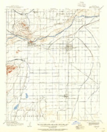
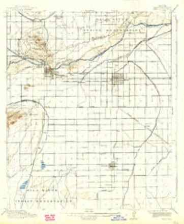
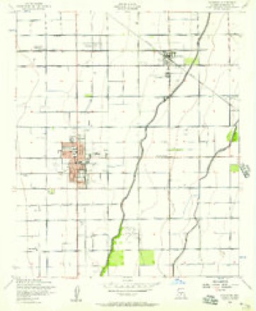
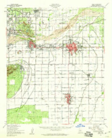
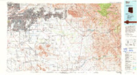
20 topographic sheets cover this place, the earliest surveyed in 1913 and the latest in 1994. It stands in the Chandler census division. It lies in ZIP code area 85295. The Survey maps it on the Chandler quadrangle.
Topographic sheets covering this place
11 surveys from 20 printed sheetsMatched by testing this settlement's coordinate against the published boundary of every sheet in the United States Geological Survey's historical collection. Each opens the scanned sheet at the Survey.
- 1913 USGS Mesa quadrangle1:62500
- 1915 USGS Mesa quadrangle1:62500, 2 printings
- 1952 USGS Chandler quadrangle1:24000, 5 printings
- 1952 USGS Mesa quadrangle1:62500
- 1954 USGS Mesa quadrangle1:250000, 4 printings
- 1957 USGS Mesa quadrangle1:250000
- 1958 USGS Mesa quadrangle1:250000
- 1960 USGS Mesa quadrangle1:250000
- 1964 USGS Mesa quadrangle1:250000
- 1971 USGS Chandler quadrangle1:24000
- 1994 USGS Mesa quadrangle1:100000, 2 printings






Fires near this place
608 since 1992Regional context, not property-specific evidence. The federal wildfire occurrence database lists 608 fires within 5 miles of Nortons Corner between 1992 and 2020, burning about 65 acres in total. 9 started naturally. 10 were recorded as arson. Distance is straight-line from the map coordinates, so a fire counted here may appear on a neighbouring settlement's page as well.
| Reported cause | Fires |
|---|---|
| Missing data/not specified/undetermined | 586 |
| Arson/incendiarism | 10 |
| Natural | 9 |
| Equipment and vehicle use | 2 |
| Smoking | 1 |
The most recent of them, most recent first, with the day each was reported and the service that recorded it.
| Date | Cause | Size | Reported by | Name on the report |
|---|---|---|---|---|
| 9 September 2020 | Missing data/not specified/undetermined | under an acre | Arizona Department of Forestry and Fire Management - State Office | not named |
| 9 September 2019 | Missing data/not specified/undetermined | under an acre | Chandler Fire Department | NOT NAMED |
| 9 September 2015 | Missing data/not specified/undetermined | under an acre | Arizona Department of Forestry and Fire Management - State Office | 153942 |
| 8 September 2020 | Missing data/not specified/undetermined | under an acre | Arizona Department of Forestry and Fire Management - State Office | not named |
| 7 September 2018 | Missing data/not specified/undetermined | under an acre | Chandler Fire Department | 332401 |
| 7 September 2018 | Missing data/not specified/undetermined | under an acre | Chandler Fire Department | 333144 |
| 7 September 2015 | Missing data/not specified/undetermined | under an acre | Arizona Department of Forestry and Fire Management - State Office | 153941 |
| 7 September 2014 | Missing data/not specified/undetermined | under an acre | Arizona Department of Forestry and Fire Management - State Office | AZ-141255 |
Settlements close enough to share some of these fires:
Mines and quarries near this place
1 within 5 milesRegional context, not property-specific evidence. The federal mineral resources record lists 1 working within 5 miles of Nortons Corner: 1 producer. All of them still produce. What was taken out: Sand and Gravel, Construction. Distance is straight-line from the map coordinates, so a quarry counted here may appear on a neighbouring settlement's page as well.
| Where | Site | Commodity | Status | Recorded |
|---|---|---|---|---|
| Chandler Ready Mix Plant | Sand and Gravel, Construction | Producer |
Storms near this place
13 since 2008Regional context, not property-specific evidence. The National Weather Service names Nortons Corner in 13 storm reports between 2008 and 2025: 9 thunderstorm wind, 2 heavy rain, 1 flash flood, 1 hail. No death or injury is recorded in these reports. Each account below is quoted exactly as the forecast office filed it, from the NOAA Storm Events Database, and each date opens the federal record of that event.
| When | Event | Place named | Harm | What the report says |
|---|---|---|---|---|
| August 2013 | Thunderstorm Wind | Nortons Corner | $100,000 | Scattered thunderstorms moved across the eastern portions of the greater Phoenix metropolitan area during Friday afternoon on August 30th, and they affected communities such as Tempe and Chandler. Due to the very moist and unstable character of the atmosphere, the storms were able to generate damaging wet microbursts, with wind gusts estimated to reach to near 70 mph. At 1710MST, a trained spotter reported trees downed in the vicinity of Priest and Ray Road. Heavy rain was also occurring leading to curb to curb flooding. The following day, a National Weather Service employee reported a number of large trees downed along Interstate 10 near Warner Road, in addition to large trees downed near the intersection of Ray and North Beck. Finally, the employee reported a tree 6 inches in diameter blown over on his property, at Priest Drive and West Maria Lane. The downed trees were a result of the wet microburst during the afternoon on August 30th. |
| August 2015 | Thunderstorm Wind | Nortons Corner | $10,000 | Scattered thunderstorms developed across the greater Phoenix metropolitan area during the afternoon hours on August 7th, and they affected the southeast valley including the community of Gilbert. Some of the stronger storms produced gusty and damaging microburst winds in excess of 60 mph. According to local broadcast media, wind gusts estimated to be near 70 mph blew down several large trees from Gilbert Road to Val Vista Road in south Gilbert. They estimated the time of the damage to be about 1630MST. |
| July 2021 | Thunderstorm Wind | Nortons Corner | $8,000 | Gilbert Police reported southbound lanes on Lindsay Road at Ray Road were blocked due to a downed power pole as a result of strong winds. Winds estimated around 60 mph and timing estimated from radar. No injuries reported. |
| August 2023 | Thunderstorm Wind | Nortons Corner | $3,000 | Video as well as pictures showed several trees were damaged along the general between North Cooper Road and South Gilbert Road in Gilbert. Some trees had tree limbs broken while other trees were uprooted. Wind gusts were estimated between 55-60 mph based on radar estimates. No injuries were reported. |
| September 2019 | Thunderstorm Wind | Nortons Corner | $1,000 | Monsoon thunderstorms developed across portions of the greater Phoenix area during the afternoon hours on September 14th and some of them produced gusty and damaging winds that affected communities such as Gilbert and Chandler. According to a report from the public, at 1605MST gusty winds estimated as high as 60 mph blew down a tree with a diameter of 24 inches. The tree split and fell over, causing damage to a vehicle trailer. The downed tree occurred in Gilbert, near the intersection of Chandler Boulevard and Val Vista Drive. No injuries were reported due to the falling tree. |
| June 2015 | Thunderstorm Wind | Nortons Corner | $1,000 | Isolated thunderstorms developed across the far southeastern portion of the greater Phoenix metropolitan area during the afternoon hours on June 4th. The storms produced gusty and damaging winds. According to a trained weather spotter located 1 mile southwest of San Tan Village, a 12 inch diameter tree was blown down and then blown across 3 lanes of traffic on the San Tan Freeway at Val Vista Drive. The peak wind gust was estimated at 60 mph. No injuries were reported. |
| August 2025 | Thunderstorm Wind | Nortons Corner | $200 | A large mesquite tree was uprooted at a park in Layton Lakes. No injuries were reported. |
| August 2021 | Flash Flood | Nortons Corner | - | Loop 202 westbound exit ramp to Gilbert Road in Chandler was closed due to flooding. Nearby Chandler Airport measured 2.68 inches of rain from approximately 0700MST to 0900MST with 2.13 inches falling in 1 hour. The exit ramp did not re-open until around 1100MST. No injuries or damages were reported. |
| July 2012 | Heavy Rain | Nortons Corner | - | Numerous showers and thunderstorms developed across the greater Phoenix metropolitan area, especially the southeastern valley communities, during the afternoon hours on July 14th. Due to the very moist and unstable nature of the atmosphere, the storms generated locally heavy rainfall which led to widespread street flooding. According to a trained weather spotter 2 miles southwest of Gilbert, 1.1 inches of rain fell between 330 pm and 4 pm. Several additional weather spotters in the southeast valley, including communities such as Gilbert, Chandler and Seville, reported similar amounts of rainfall between 330 pm and 5 pm. Commonly, the reports indicated that around one inch of rain fell within a 30 minute period. For example, at 442 pm a trained spotter 2 miles west of Apache Junction reported 0.93 inches of rain measured in the past half-hour. |
| September 2012 | Heavy Rain | Nortons Corner | - | Scattered to numerous showers and thunderstorms developed across portions of the greater Phoenix metropolitan area, including the communities of Chandler and Gilbert, during the morning hours on September 7th. Peak rainfall rates as seen in radar estimates and rain gage reports were at least 2 inches per hour. At 10 am, a CoCoRaHS weather observer near the intersection of Cooper and Chandler Boulevard measured 1 inch of rain in the past 30 minutes, and heavy rain continued to fall. Another trained spotter 1 mile southeast of Gilbert also reported heavy rain at about 10 am; he also measured 1 inch of rain within a 35 minute period. The excessive rain led to widespread urban flooding, with significant ponding of water across streets and low lying areas. An Urban and Small Stream Flood Advisory was issued for the area beginning at 934 am and continuing until 1130 am. |
| December 2009 | Thunderstorm Wind | Nortons Corner | - | Winds estimated at 60 mph based on DPS report of 50 feet visibility on Loop 202 and Gilbert. |
| August 2008 | Thunderstorm Wind | Nortons Corner | - | Winds knocked a power line onto the street. |
| August 2022 | Hail | Nortons Corner | - | no account filed |
Nearest settlements
The eight closest, with where each one stands in the county. Distances are straight-line, computed from the Geographic Names Information System coordinates.
| Map | Place | Distance | Sheets |
|---|---|---|---|
| Hacienda Solano Park | 0.1 miles | 20 | |
| Colonial Coronita | 0.4 miles | 20 | |
| The Haciendas | 1.9 miles | 20 | |
| Sonora Town | 2.0 miles | 20 | |
| Rancho de Chandler | 2.0 miles | 20 | |
| Chandler | 2.7 miles | 20 | |
| Stonegate Crossing | 3.1 miles | 20 | |
| Gilbert | 3.2 miles | 20 |
Elsewhere
Matched on this settlement's Geographic Names Information System number rather than its name, so it cannot be a different place of the same name in another state.
| Wikidata item Q122550400 | The structured record the population and elevation above come from. Public domain (CC0). |
Provenance
This settlement is recorded in the Geographic Names Information System as feature 8812. The sheet list is computed by point-in-boundary test against the United States Geological Survey's historical topographic inventory. Both are works of the United States government and carry no copyright under 17 U.S.C. 105.
Wildfire. Short, Karen C. 2022. Spatial wildfire occurrence data for the United States, 1992-2020 [FPA_FOD_20221014]. 6th Edition. Fort Collins, CO: Forest Service Research Data Archive. https://doi.org/10.2737/RDS-2013-0009.6 Collected with United States Government funding and usable without additional permissions or fees.
Mines and quarries. USGS Mineral Resources Data System (MRDS) https://mrdata.usgs.gov/mrds/ A work of the United States government, no copyright under 17 U.S.C. 105.
Storms. NOAA National Centers for Environmental Information, Storm Events Database https://www.ncei.noaa.gov/stormevents/ A work of the United States government, no copyright under 17 U.S.C. 105. Narratives are quoted verbatim from the National Weather Service report and are not edited or summarised.