 Block
Ocotillo, Arizona
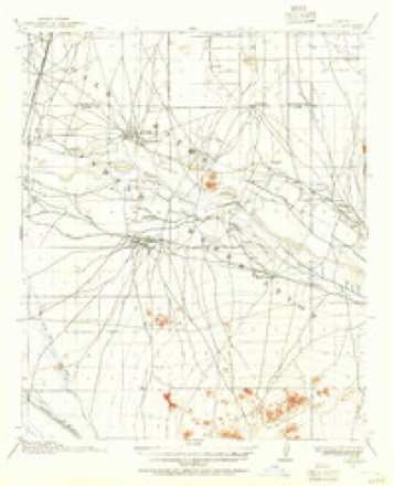
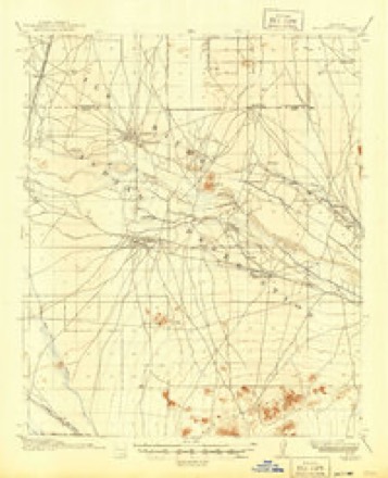
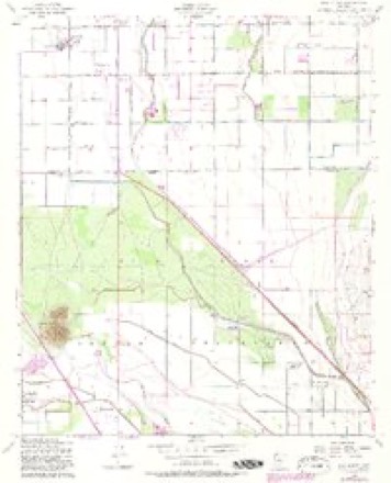
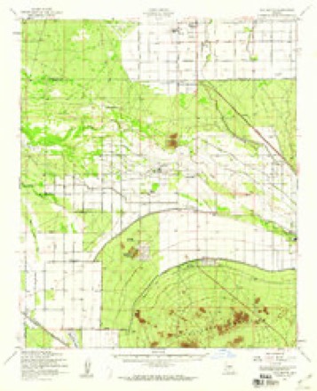
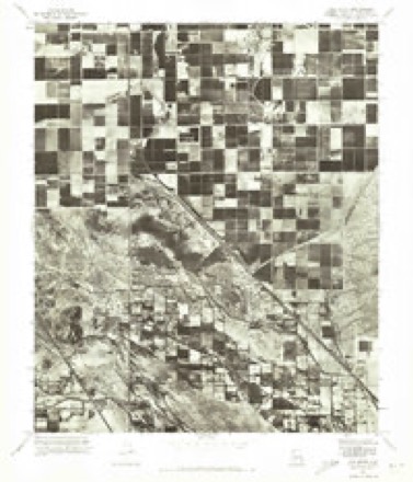
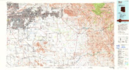
20 topographic sheets cover this place, the earliest surveyed in 1914 and the latest in 1994. It stands in the Chandler census division. It lies in ZIP code area 85248. The Survey maps it on the Gila Butte quadrangle.
Topographic sheets covering this place
11 surveys from 20 printed sheetsMatched by testing this settlement's coordinate against the published boundary of every sheet in the United States Geological Survey's historical collection. Each opens the scanned sheet at the Survey.
- 1914 USGS Gila Butte quadrangle1:62500
- 1917 USGS Gila Butte quadrangle1:62500, 2 printings
- 1952 USGS Gila Butte quadrangle1:24000, 4 printings
- 1952 USGS Gila Butte quadrangle1:62500, 2 printings
- 1954 USGS Mesa quadrangle1:250000, 4 printings
- 1957 USGS Mesa quadrangle1:250000
- 1958 USGS Mesa quadrangle1:250000
- 1960 USGS Mesa quadrangle1:250000
- 1964 USGS Mesa quadrangle1:250000
- 1971 USGS Gila Butte quadrangle1:24000
- 1994 USGS Mesa quadrangle1:100000, 2 printings





Fires near this place
506 since 1992Regional context, not property-specific evidence. The federal wildfire occurrence database lists 506 fires within 5 miles of Ocotillo between 1992 and 2020, burning about 4,466 acres in total. 1 started naturally. 18 were recorded as arson. Distance is straight-line from the map coordinates, so a fire counted here may appear on a neighbouring settlement's page as well.
| Reported cause | Fires |
|---|---|
| Missing data/not specified/undetermined | 427 |
| Debris and open burning | 32 |
| Arson/incendiarism | 18 |
| Equipment and vehicle use | 12 |
| Smoking | 9 |
| Misuse of fire by a minor | 4 |
| Power generation/transmission/distribution | 2 |
| Natural | 1 |
| Recreation and ceremony | 1 |
The most recent of them, most recent first, with the day each was reported and the service that recorded it.
| Date | Cause | Size | Reported by | Name on the report |
|---|---|---|---|---|
| 9 September 2019 | Missing data/not specified/undetermined | under an acre | Chandler Fire Department | NOT NAMED |
| 9 September 2015 | Missing data/not specified/undetermined | under an acre | Arizona Department of Forestry and Fire Management - State Office | 153942 |
| 9 September 2011 | Missing data/not specified/undetermined | under an acre | Arizona Department of Forestry and Fire Management - State Office | AZ-111932 |
| 7 September 2019 | Missing data/not specified/undetermined | under an acre | Chandler Fire Department | NOT NAMED |
| 7 September 2018 | Missing data/not specified/undetermined | under an acre | Chandler Fire Department | 332401 |
| 7 September 2015 | Missing data/not specified/undetermined | under an acre | Arizona Department of Forestry and Fire Management - State Office | 153941 |
| 7 September 2011 | Missing data/not specified/undetermined | under an acre | Arizona Department of Forestry and Fire Management - State Office | AZ-110539 |
| 7 September 1994 | Missing data/not specified/undetermined | under an acre | Pima Agency | RIGGS |
Settlements close enough to share some of these fires:
Mines and quarries near this place
3 within 5 milesRegional context, not property-specific evidence. The federal mineral resources record lists 3 workings within 5 miles of Ocotillo: 2 past producers, 1 unknown. None of them still produces. What was taken out: Sand and Gravel, Construction. Distance is straight-line from the map coordinates, so a quarry counted here may appear on a neighbouring settlement's page as well.
| Where | Site | Commodity | Status | Recorded |
|---|---|---|---|---|
| Gravel Pit | Sand and Gravel, Construction | Past Producer | ||
| Gravel Pit | Sand and Gravel, Construction | Unknown | ||
| Sand and Gravel Quarry | Sand and Gravel, Construction | Past Producer | Sand and Gravel |
Storms near this place
14 since 2010Regional context, not property-specific evidence. The National Weather Service names Ocotillo in 14 storm reports between 2010 and 2022: 12 thunderstorm wind, 1 hail, 1 flood. No death or injury is recorded in these reports. Each account below is quoted exactly as the forecast office filed it, from the NOAA Storm Events Database, and each date opens the federal record of that event.
| When | Event | Place named | Harm | What the report says |
|---|---|---|---|---|
| July 2011 | Thunderstorm Wind | Ocotillo | $100,000 | Thunderstorms produced strong damaging microburst winds over portions of Gilbert during the early evening hours on July 31st. A former National Weather Service employee reported that extensive damage was done to the Solera subdivision. Microburst wind gusts estimated to be in excess of 60 knots, damaged at least 110 trees, with 67 of the trees blown down. Additional damage was done to various structures in the community, including a block wall that was blown down. |
| July 2011 | Thunderstorm Wind | Ocotillo | $80,000 | Strong thunderstorms to the southeast of the greater Phoenix area generated microburst winds that moved to the northwest and into the Phoenix metropolitan area. A trained weather spotter at Gilbert and Riggs Road measured a peak wind gust of 69 mph. Other spotter reports in the area reported winds estimated between 50 and 65 mph. The official weather station at Chandler measured a 50 knot gust at 8 pm, and another 50 knot gust was recorded by the Goodyear sensor a 847 pm. The winds generated dense blowing dust, and damaged a number of trees. 10 trees were uprooted or damaged at the intersection of Arizona Avenue and Chandler Boulevard. Downed trees were also reported long Ivanhoe road in west Chandler, Chandler Heights road, and Pleasant Drive and Alma School roads. Additionally, the strong winds at Chandler airport blew a plane loose from its moorings and caused it to flip over. The flipped plane then blew into a nearby chain link fence and damaged 100 feet of the barrier. |
| October 2018 | Thunderstorm Wind | Ocotillo | $50,000 | Thunderstorms developed to the south of Phoenix during the evening hours on October 21st and some of the stronger storms affected areas around the town of Maricopa. According to a local emergency manager, thunderstorms produced large hail and strong winds at the Ak Chin Airport, about 9 miles southeast of Maricopa. At 1900MST, the automated ASOS station at the airport measured gusts to 56 mph. The manager also reported multiple aircraft severely damaged, with the damage likely caused by large hail. No injuries were reported due to hail or strong wind. There was no size estimate given for the large hail referenced. |
| July 2010 | Thunderstorm Wind | Ocotillo | $30,000 | Winds uprooted trees, tore limbs off, and ripped some roof tiles from homes near Hunt Highway and Gilbert Road. Dense blowing dust was also reported in this area. |
| August 2020 | Thunderstorm Wind | Ocotillo | $5,000 | A large tree, 18 inches in diameter became uprooted by strong thunderstorm winds and fell on a house in south Chandler near Alma School road and Riggs road. Winds were estimated around 50-55 mph based on radar and nearby weather station. No injuries were reported. |
| August 2014 | Thunderstorm Wind | Ocotillo | $5,000 | Thunderstorms developed during the afternoon hours on August 11th and they affected portions of the greater Phoenix area including communities such as Chandler. Some of the storms produced strong and damaging microburst winds; a trained weather spotter near the intersection of Gilbert and Riggs Road measured a peak wind gust to 72 mph. In addition, he indicated that the gusty winds produced some tree damage. The tree damage was approximately 4 miles southeast of Tumbleweed Park. A Severe Thunderstorm Warning had been issued for the area beginning at 1613MST and continuing through 1715MST. |
| August 2013 | Thunderstorm Wind | Ocotillo | $1,000 | Scattered strong thunderstorms developed during the evening hours across the greater Phoenix area on August 26th, and some of them affected the community of Chandler. A trained weather spotter located about 4 miles southeast of Tumbleweed Park, or near the Chandler airport, measured a thunderstorm wind gust to 62 mph. A second trained weather spotter located 1 mile east of Chandler estimated a peak wind gust to 65 mph and the wind was strong enough to blow a 6 inch branch off of a tree. At the time, a Dust Storm Warning was in effect. Also, a Severe Thunderstorm Warning was issued for the Chandler area at 1821MST and it continued until 1845MST. |
| October 2010 | Thunderstorm Wind | Ocotillo | $1,000 | A trained spotter in Sun Lakes reported that a large eucalyptus tree was blown down by thunderstorm winds estimated to be in excess of 65 knots. |
| August 2022 | Thunderstorm Wind | Ocotillo | $100 | Images showed a large tree toppled and leaning onto a home near Ocotillo Road and Arizona Avenue. No injuries were reported. |
| September 2022 | Thunderstorm Wind | Ocotillo | - | Trained spotter measured a 60 mph gust along South Halsted Drive in Sun Lakes. |
| June 2022 | Flood | Ocotillo | - | Flooding reported along S Alma School Road between Sun Lakes and Chandler. Water was 2.5-3 inches deep. No damages or injuries were reported. |
| October 2018 | Hail | Ocotillo | - | Thunderstorms with large hail developed to the southeast of Phoenix during the early evening hours on October 21st. According to a trained weather spotter, at 1922MST large hail fell about 3 miles west of Sun Lakes, near the intersection of Riggs Road and Interstate 10. The larger hailstones were described as quarter sized, with diameters of about 1 inch. No damage was reported due to the large hail. |
| July 2016 | Thunderstorm Wind | Ocotillo | - | Strong thunderstorms pushed towards the southwest across the greater Phoenix area during the evening hours on July 29th. Some of the stronger storms affected the southeast portions of the Phoenix area including the town of Sun Lakes. According to a trained weather spotter located 4 miles to the east of Sun Lakes, at 2000MST a wind gust to 68 mph was measured. No damage was reported as a result of the strong wind. |
| August 2011 | Thunderstorm Wind | Ocotillo | - | Thunderstorms with strong gusty winds developed over the southeastern portion of the greater Phoenix area during the afternoon hours of August 18th. A trained weather spotter approximately 5 miles east of Sun Lakes estimated a peak wind gust to 60 mph. The strong winds were associated with a dust storm moving through the area; at the same time visibility had lowered to less than one quarter of a mile. |
Nearest settlements
The eight closest, with where each one stands in the county. Distances are straight-line, computed from the Geographic Names Information System coordinates.
| Map | Place | Distance | Sheets |
|---|---|---|---|
| Hamilton Corner | 1.0 miles | 20 | |
| Serape | 1.4 miles | 20 | |
| Sun Lakes | 2.4 miles | 19 | |
| Pozo | 2.5 miles | 20 | |
| Rancho de Chandler | 3.7 miles | 20 | |
| The Haciendas | 3.9 miles | 20 | |
| Chandler | 4.4 miles | 20 | |
| Hightown | 5.0 miles | 21 |
Provenance
This settlement is recorded in the Geographic Names Information System as feature 8913. The sheet list is computed by point-in-boundary test against the United States Geological Survey's historical topographic inventory. Both are works of the United States government and carry no copyright under 17 U.S.C. 105.
Wildfire. Short, Karen C. 2022. Spatial wildfire occurrence data for the United States, 1992-2020 [FPA_FOD_20221014]. 6th Edition. Fort Collins, CO: Forest Service Research Data Archive. https://doi.org/10.2737/RDS-2013-0009.6 Collected with United States Government funding and usable without additional permissions or fees.
Mines and quarries. USGS Mineral Resources Data System (MRDS) https://mrdata.usgs.gov/mrds/ A work of the United States government, no copyright under 17 U.S.C. 105.
Storms. NOAA National Centers for Environmental Information, Storm Events Database https://www.ncei.noaa.gov/stormevents/ A work of the United States government, no copyright under 17 U.S.C. 105. Narratives are quoted verbatim from the National Weather Service report and are not edited or summarised.