 Block
Paradise, Arizona
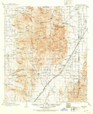
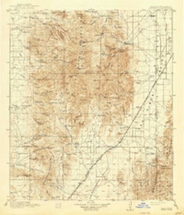
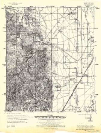
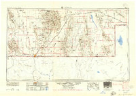
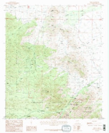
22 topographic sheets cover this place, the earliest surveyed in 1917 and the latest in 1998. It stands in the Bowie census division. It lies in ZIP code area 85632. It stands on Onion Creek. The Survey maps it on the Portal quadrangle.
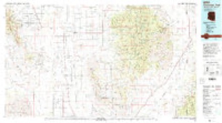
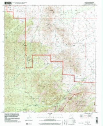
Topographic sheets covering this place
11 surveys from 22 printed sheetsMatched by testing this settlement's coordinate against the published boundary of every sheet in the United States Geological Survey's historical collection. Each opens the scanned sheet at the Survey.
- 1917 USGS Chiricahua quadrangle1:125000
- 1919 USGS Chiricahua quadrangle1:125000, 3 printings
- 1926 USGS Rodeo quadrangle1:62500
- 1955 USGS Douglas quadrangle1:250000, 2 printings
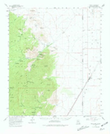
- 1958 USGS Portal quadrangle1:62500, 4 printings
- 1959 USGS Douglas quadrangle1:250000, 4 printings
- 1961 USGS Douglas quadrangle1:250000
- 1964 USGS Douglas quadrangle1:250000
- 1987 USGS Portal quadrangle1:24000, 2 printings
- 1994 USGS Chiricahua Peak quadrangle1:100000, 2 printings
- 1998 USGS Portal quadrangle1:24000
Fires near this place
67 since 1992Regional context, not property-specific evidence. The federal wildfire occurrence database lists 67 fires within 5 miles of Paradise between 1992 and 2020, burning about 942 acres in total. 40 started naturally. 2 were recorded as arson. Distance is straight-line from the map coordinates, so a fire counted here may appear on a neighbouring settlement's page as well.
| Reported cause | Fires |
|---|---|
| Natural | 40 |
| Recreation and ceremony | 10 |
| Missing data/not specified/undetermined | 8 |
| Smoking | 2 |
| Equipment and vehicle use | 2 |
| Arson/incendiarism | 2 |
| Debris and open burning | 2 |
| Power generation/transmission/distribution | 1 |
The most recent of them, most recent first, with the day each was reported and the service that recorded it.
| Date | Cause | Size | Reported by | Name on the report |
|---|---|---|---|---|
| 7 September 2009 | Natural | under an acre | Coronado National Forest | ONION CREEK |
| 6 September 2009 | Natural | under an acre | Coronado National Forest | TURKEY PARK |
| 23 September 1992 | Natural | 5.0 acres | Coronado National Forest | METHODIST |
| 2 September 2007 | Natural | 1.0 acres | Coronado National Forest | BARFOOT |
| 2 September 2006 | Natural | under an acre | Coronado National Forest | LONG PARK |
| 5 August 1993 | Natural | under an acre | Coronado National Forest | IDA |
| 29 August 1994 | Natural | under an acre | Coronado National Forest | IDA |
| 25 August 2011 | Natural | under an acre | Gila District Office | LIMESTONE |
Settlements close enough to share some of these fires:
Mines and quarries near this place
10 of 62 shownRegional context, not property-specific evidence. The federal mineral resources record lists 62 workings within 5 miles of Paradise: 40 past producers, 15 prospects, 5 producers, 2 occurrences. 5 still produce. What was taken out: Silver, Copper, Tungsten, Gold. Distance is straight-line from the map coordinates, so a quarry counted here may appear on a neighbouring settlement's page as well.
| Where | Site | Commodity | Status | Recorded |
|---|---|---|---|---|
| Bermoudy Mine | Copper, Lead, Silver, Gold, Zinc | Past Producer | ||
| Chiricahua Mine | Copper, Lead, Silver, Zinc, Tungsten | Past Producer | Chalcopyrite, Copper, Galena, Lead | |
| Columbia Mine | Lead, Copper, Zinc, Tungsten, Silver, Bismuth | Past Producer | Contact Metamorphic | |
| Columbia Mine | Zinc, Lead, Silver, Tungsten, Copper, Bismuth | Past Producer | ||
| El Tigre Mine | Lead, Silver, Copper, Gold | Producer | 1937, 1947 | |
| El Tigre Mine | Silica, Silver, Gold, Copper | Past Producer | ||
| Galeyville Mines | Lead, Silver, Tungsten, Copper | Past Producer | 1878, 1945 | |
| Hilltop Extension Mine | Lead, Silver, Zinc, Copper, Gold, Molybdenum | Past Producer | Chalcopyrite, Galena, Sphalerite | |
| Humboldt Mine | Silver, Copper, Lead, Manganese | Past Producer | Gold | |
| King Ainsworth Group | Copper, Lead, Silver, Zinc, Molybdenum, Tungsten, Gold | Past Producer | 1885, 1952 |
Storms near this place
9 since 2011Regional context, not property-specific evidence. The National Weather Service names Paradise in 9 storm reports between 2011 and 2022: 7 flash flood, 1 debris flow, 1 thunderstorm wind. No death or injury is recorded in these reports. Each account below is quoted exactly as the forecast office filed it, from the NOAA Storm Events Database, and each date opens the federal record of that event.
| When | Event | Place named | Harm | What the report says |
|---|---|---|---|---|
| July 2013 | Flash Flood | Paradise | $50,000 | Nearly three inches of rain fell in less than an hour over the upper reaches of Bonita Canyon within the burn scar of the 2011 Horseshoe 2 Wildfire. Significant mud and debris flow, rock slides, downed trees and flood damage to the Bonita Canyon Drive roadbed and Bonita Canyon Campground occurred in the upper reaches of the canyon. Up to 18 inches of water and mud damaged the historic campground restroom facilities . Downstream, the visitor center parking lot was also flooded. The lower portion of the roadway reopened the next day while upper reaches remained closed for several weeks. |
| July 2017 | Flash Flood | Paradise | $30,000 | Heavy rain caused Rock Creek and Turkey Creek to overflow their banks and caused road closures of Turkey Creek Road, Cross Creek Road and State Route 181. Some yards were flooded and some residents were cut off for several days due to washed out roads. |
| August 2012 | Debris Flow | Paradise | $10,000 | Heavy rain of nearly 3 inches fell on parts of the Chiricahua National Monument, much of which was affected by the Horseshoe 2 Wildfire in 2011. Flash flooding and a 2 to 3 foot debris flow damaged trails and the Bonita Canyon Campground. Bonita Canyon Drive was also covered by the debris flow. The area was subsequently evacuated. The campground remain closed until August 30th. |
| July 2022 | Flash Flood | Paradise | $5,000 | Heavy rain of 3-5 in 2 hours in the Chiricahua Mountains caused high flows on Turkey Creek. Fort Bowie Rd. was washed out well downstream. |
| August 2022 | Thunderstorm Wind | Paradise | - | Gust to 64 mph was measured by Desert Research Institute sensor in northwest Chiricahua Mountains. |
| September 2020 | Flash Flood | Paradise | - | Thunderstorms produced one to three inches of rain in the northeast part of the Chiricahua Mountains over a 4 hour period. Flash flooding occurred downstream along East Whitetail Creek which caused the closure of several dirt roads. Riley Road was also closed due to high flow in the San Simon River. |
| July 2011 | Flash Flood | Paradise | - | Thunderstorms produced an inch of rain in less than 30 minutes over the Horseshoe 2 burn area of the Chiricahua Mountains. This caused a flash flood and significant debris flow near Portal. |
| July 2011 | Flash Flood | Paradise | - | Between one and three inches of heavy rain occurred over the Horseshoe 2 burn scar in the eastern Chiricahua Mountains. The result was flash flooding and a debris flow across Cave Creek Road and 42A Forest Road. The Research Center also noted the normally dry creek near their building was roaring with large amounts of debris in the water. |
| August 2011 | Flash Flood | Paradise | - | Heavy rainfall over the Horseshoe 2 Burn area resulted in rapid runoff into washes and down roadways near the Chiricahua National Monument resulting in the closure of several park roads and trails. |
Nearest settlements
The eight closest, with where each one stands in the county. Distances are straight-line, computed from the Geographic Names Information System coordinates.
| Map | Place | Distance | Sheets |
|---|---|---|---|
| Galeyville | 1.1 miles | 22 | |
| Portal | 4.4 miles | 22 | |
| Hilltop | 5.2 miles | 21 | |
| Taylor Place | 11.3 miles | 18 | |
| Apache | 17.5 miles | 20 | |
| Vanar | 22.1 miles | 19 | |
| San Simon | 23.0 miles | 18 | |
| Sunizona | 23.3 miles | 19 |
Provenance
This settlement is recorded in the Geographic Names Information System as feature 9192. The sheet list is computed by point-in-boundary test against the United States Geological Survey's historical topographic inventory. Both are works of the United States government and carry no copyright under 17 U.S.C. 105.
Wildfire. Short, Karen C. 2022. Spatial wildfire occurrence data for the United States, 1992-2020 [FPA_FOD_20221014]. 6th Edition. Fort Collins, CO: Forest Service Research Data Archive. https://doi.org/10.2737/RDS-2013-0009.6 Collected with United States Government funding and usable without additional permissions or fees.
Mines and quarries. USGS Mineral Resources Data System (MRDS) https://mrdata.usgs.gov/mrds/ A work of the United States government, no copyright under 17 U.S.C. 105.
Storms. NOAA National Centers for Environmental Information, Storm Events Database https://www.ncei.noaa.gov/stormevents/ A work of the United States government, no copyright under 17 U.S.C. 105. Narratives are quoted verbatim from the National Weather Service report and are not edited or summarised.