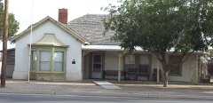
Block
From the record
76 National Register listings published here, 5 of them National Historic Landmarks.
Sources: the National Register database, National Park Service
360 topographic sheets and 38 fire insurance atlases across 10 places.
76 National Register listings published here, 5 of them National Historic Landmarks.
Sources: the National Register database, National Park Service
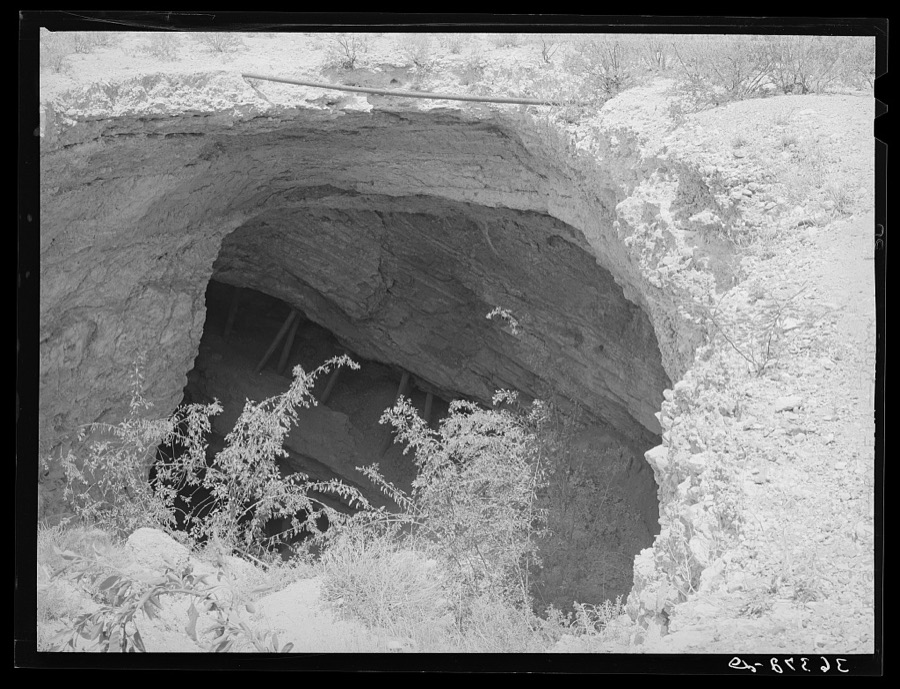
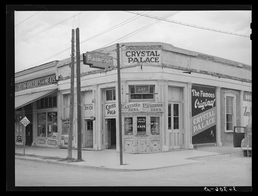
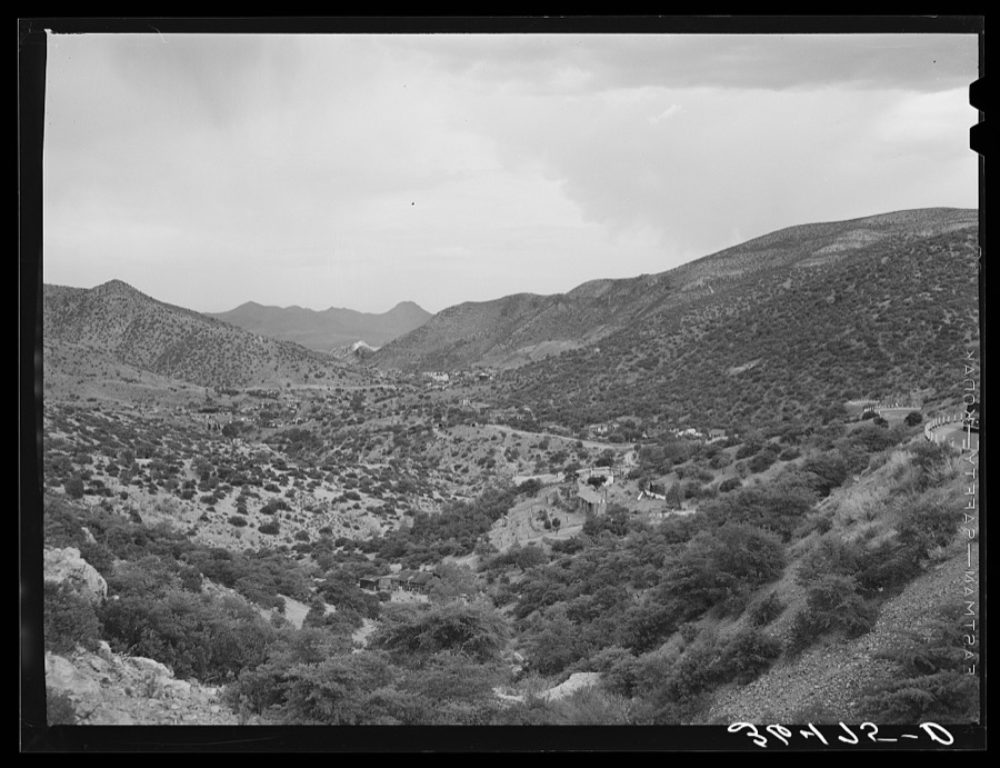
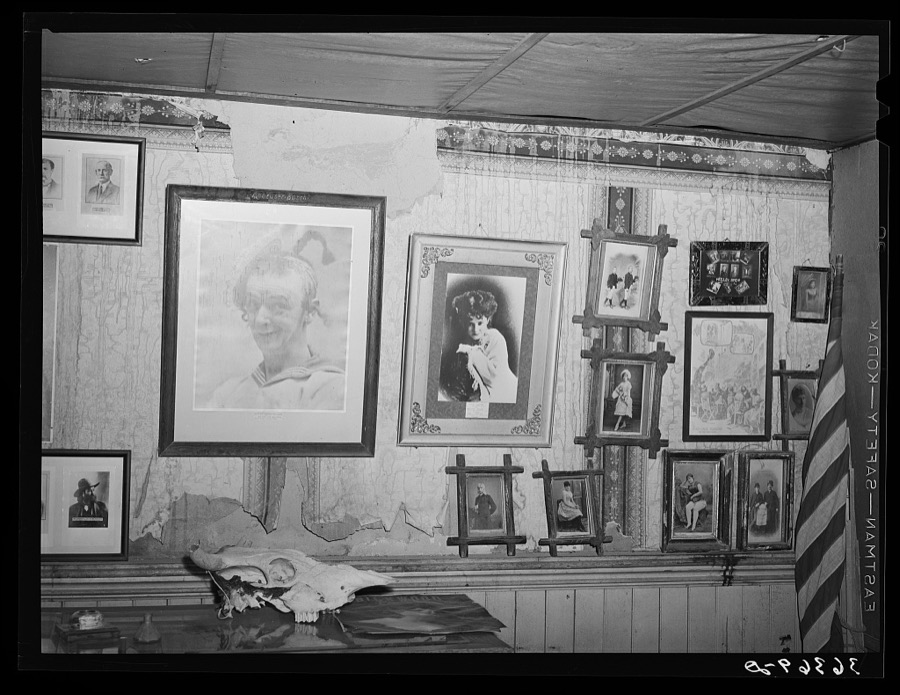
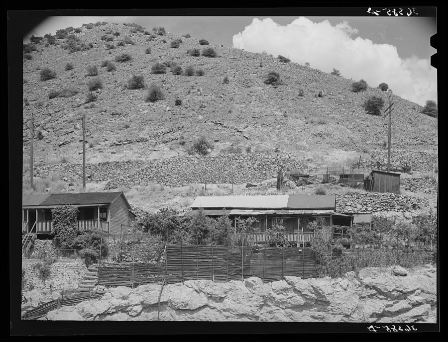
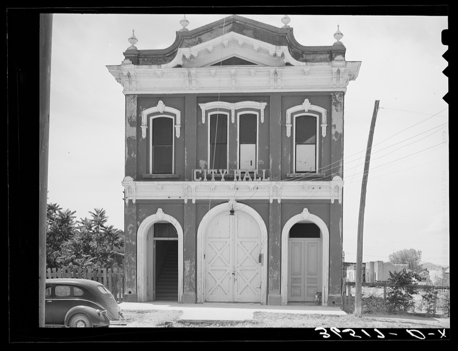
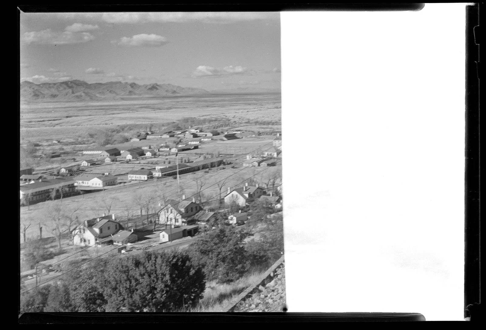
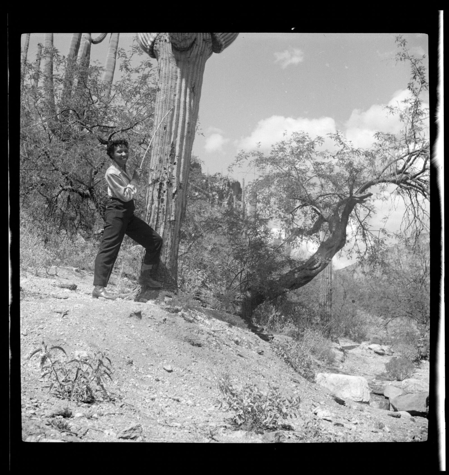
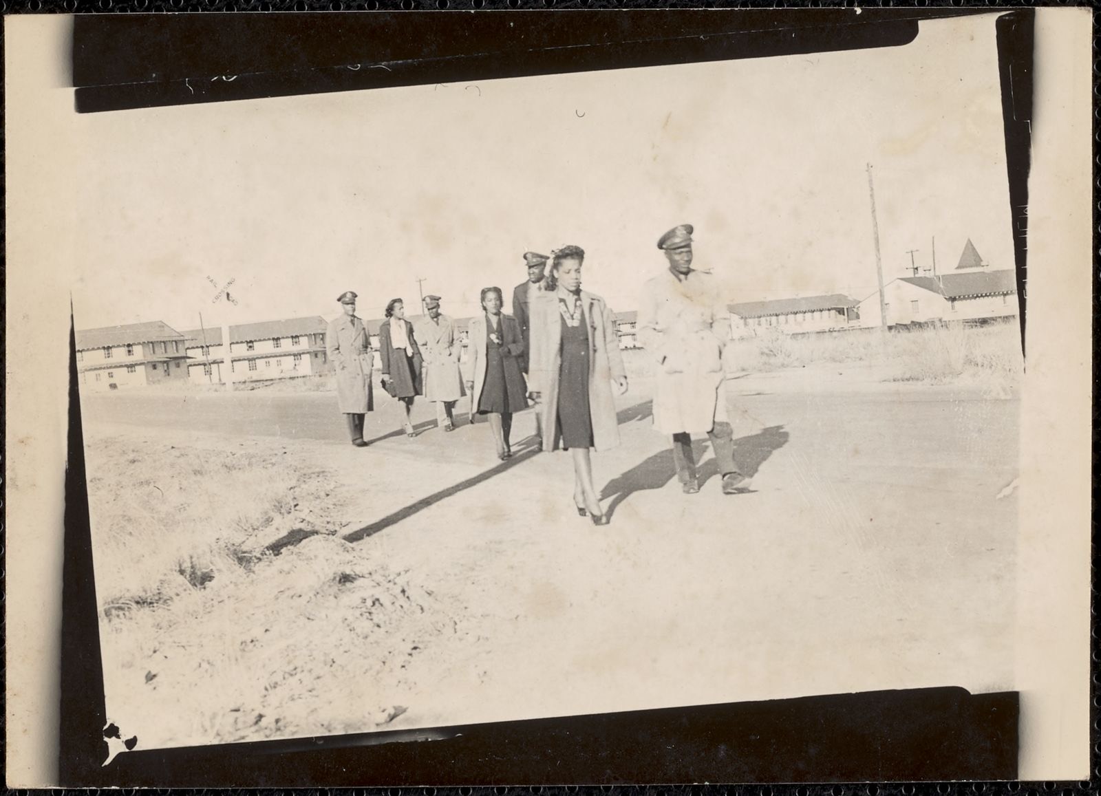
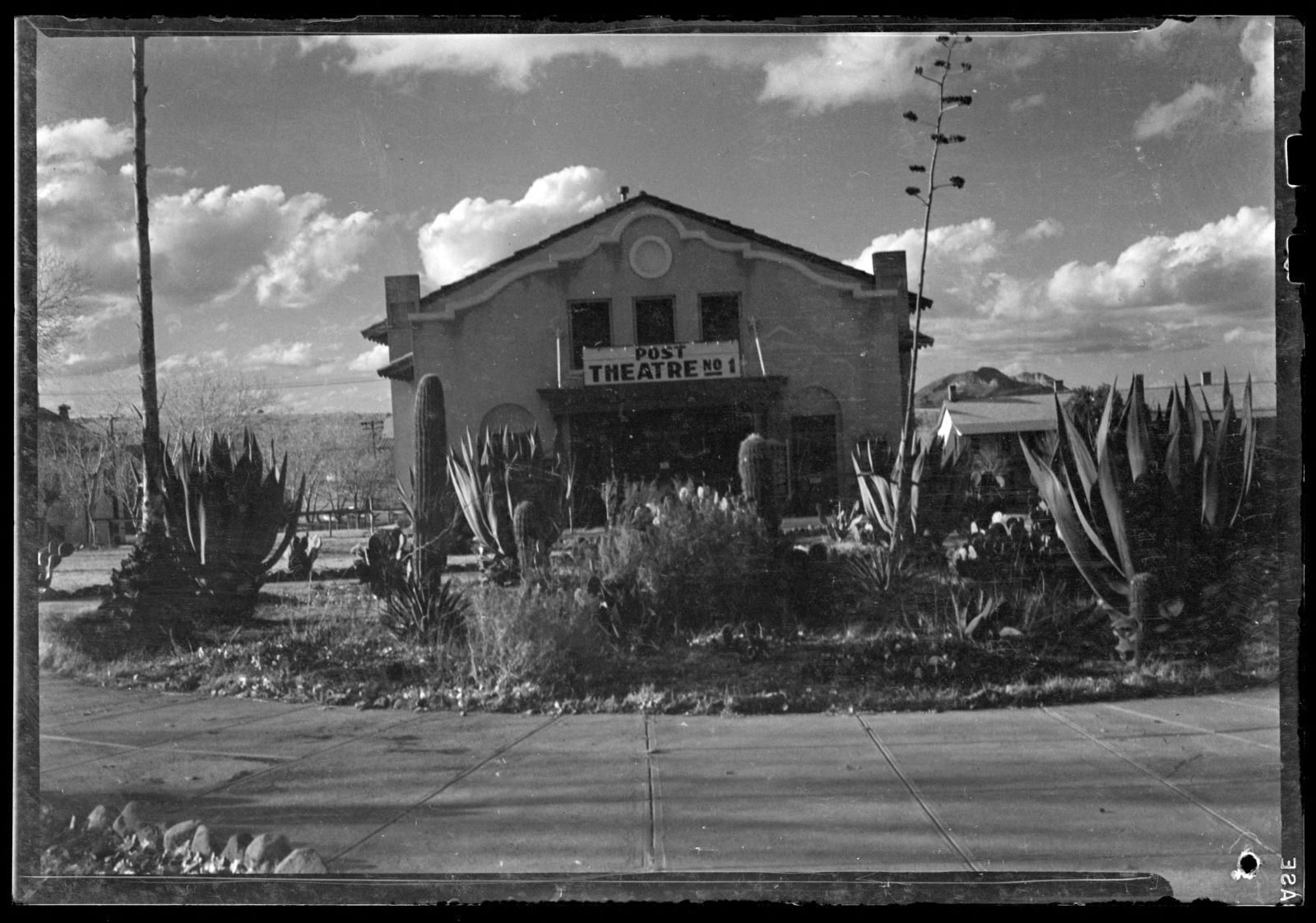
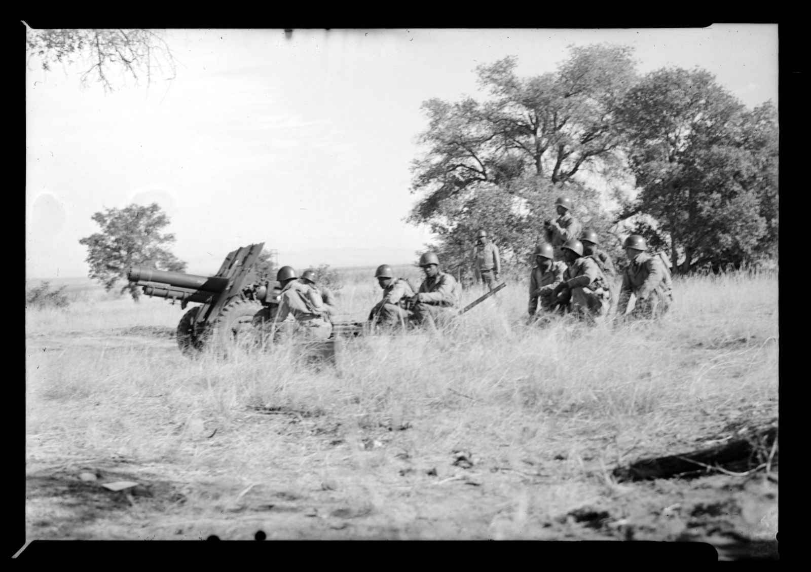
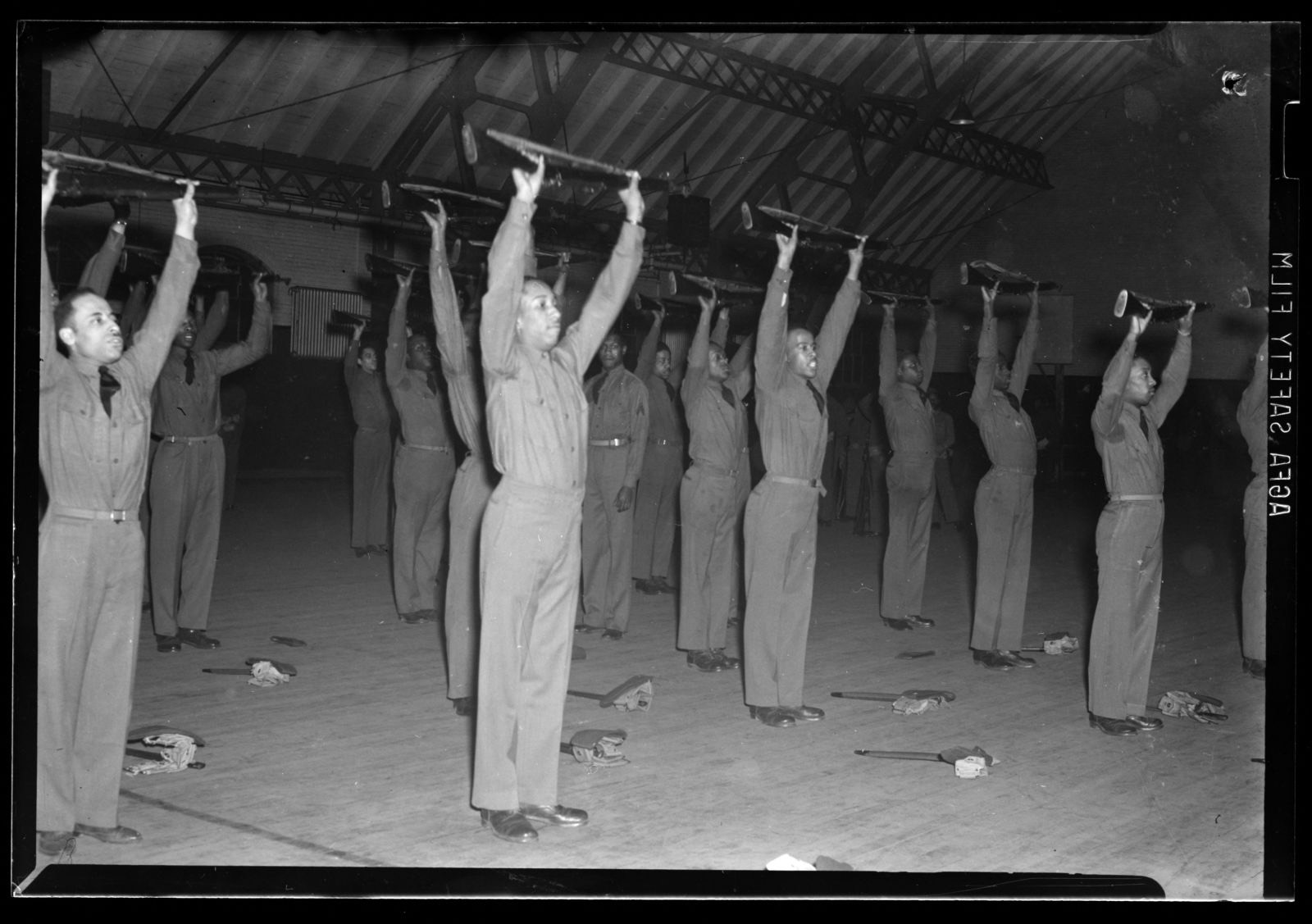
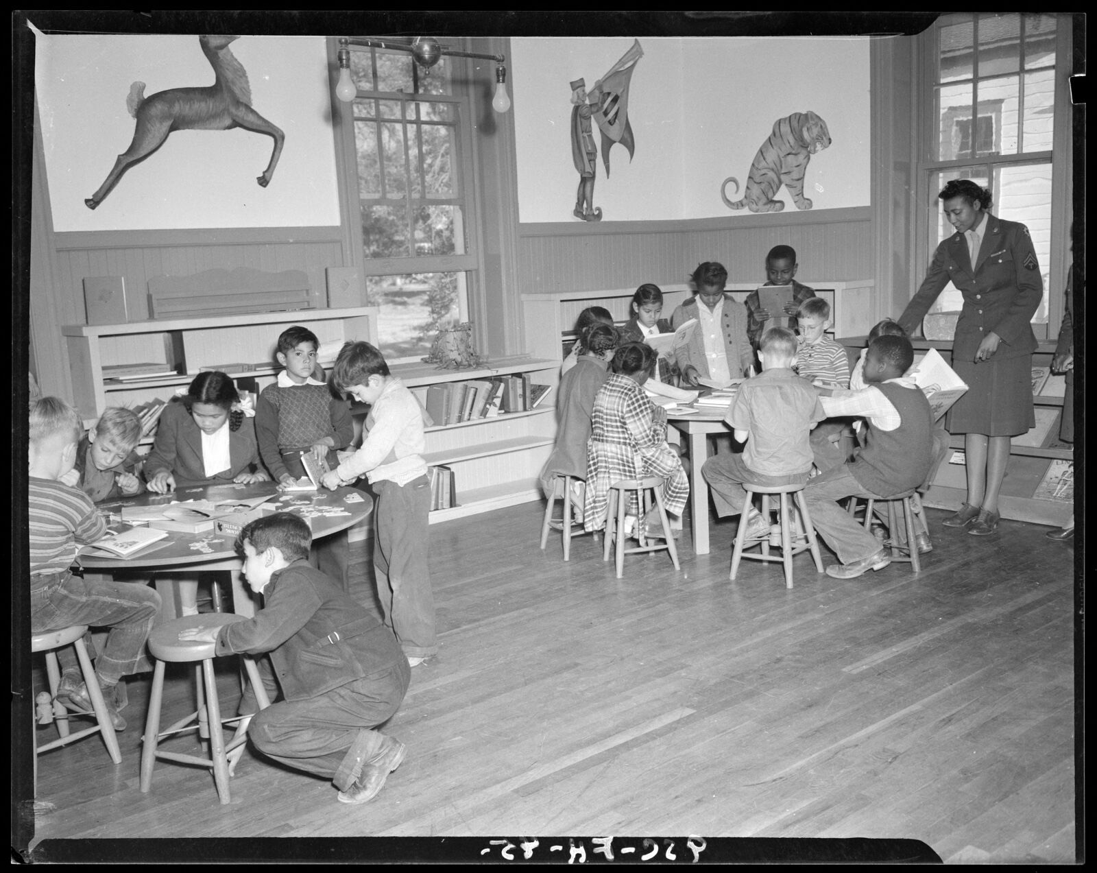
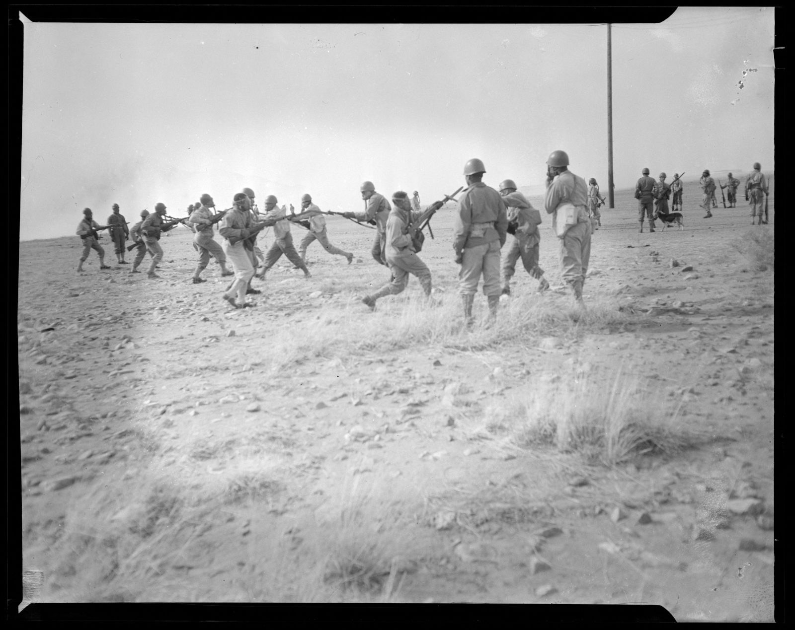
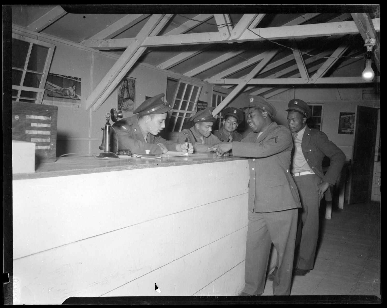
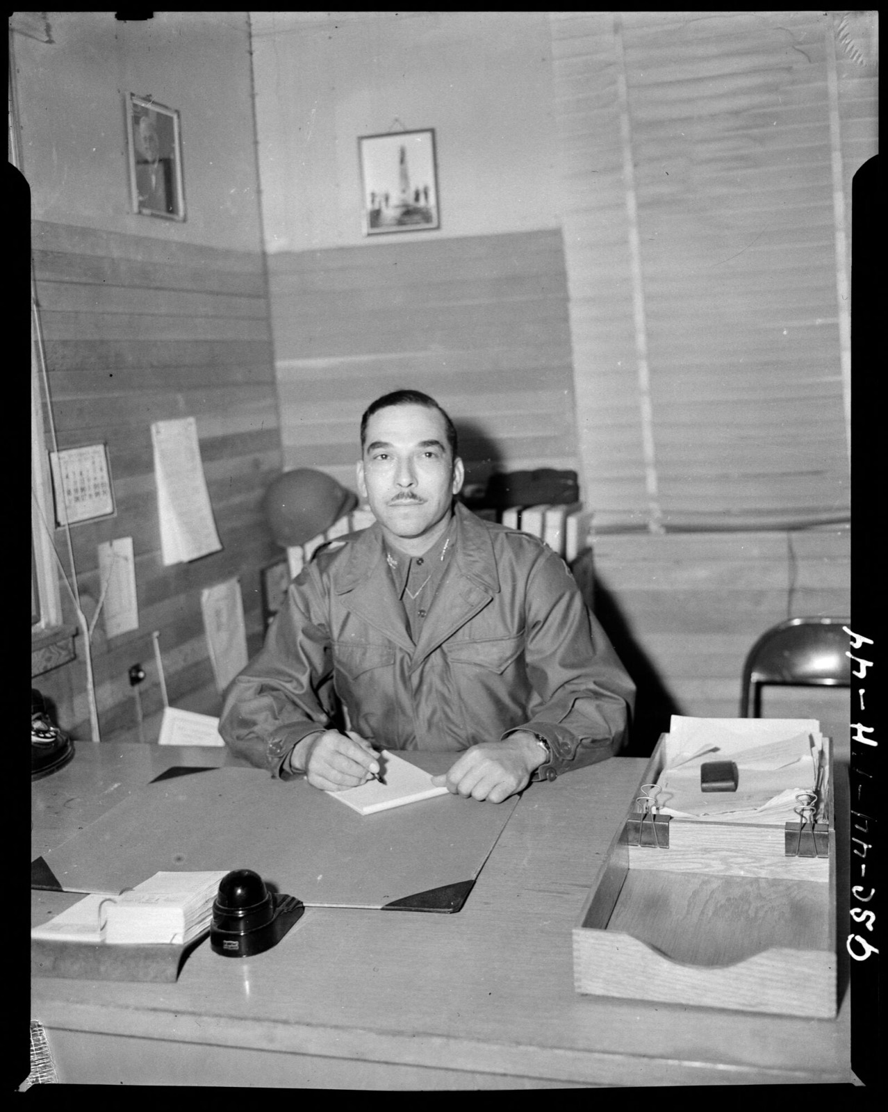
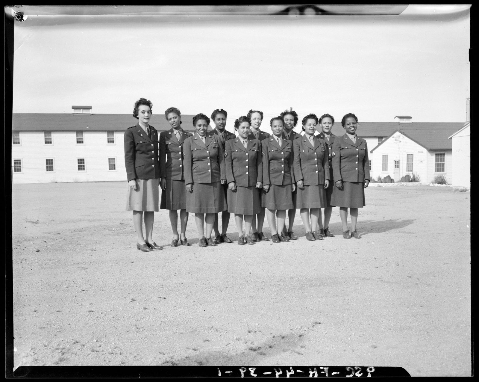
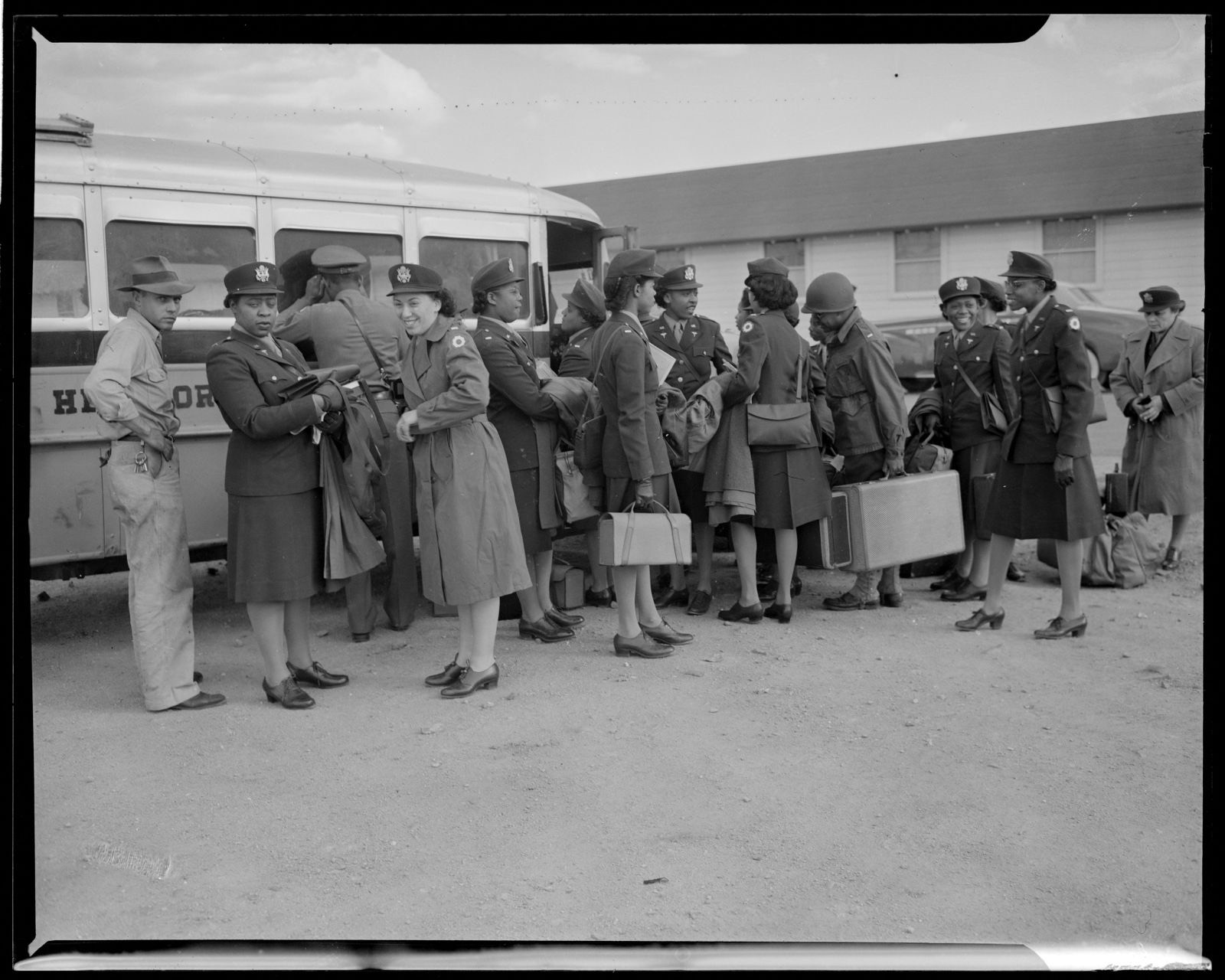
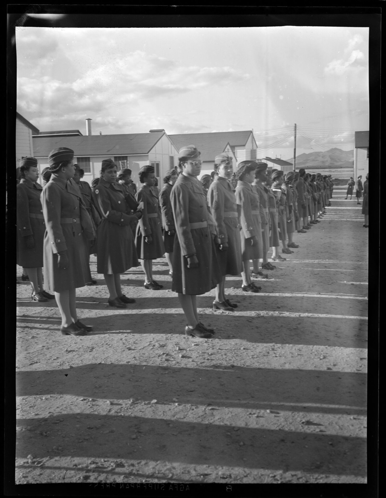
Taken for the Office of War Information and the Farm Security Administration, who photographed the country between 1935 and 1944. Works of United States government photographers, with no known restriction on use. Each opens its catalogue record.
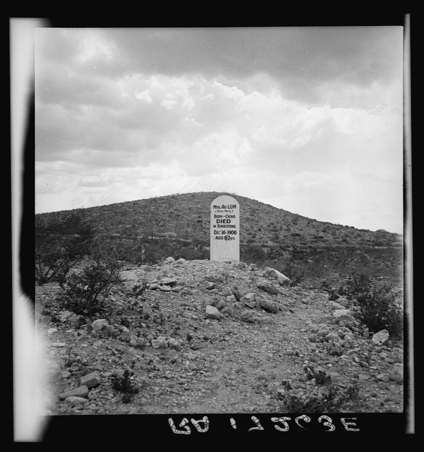
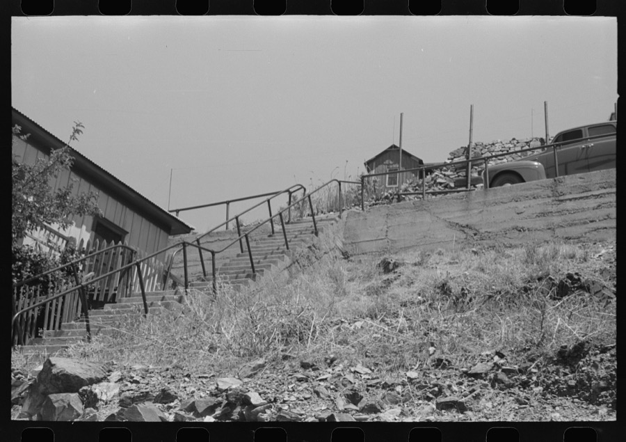
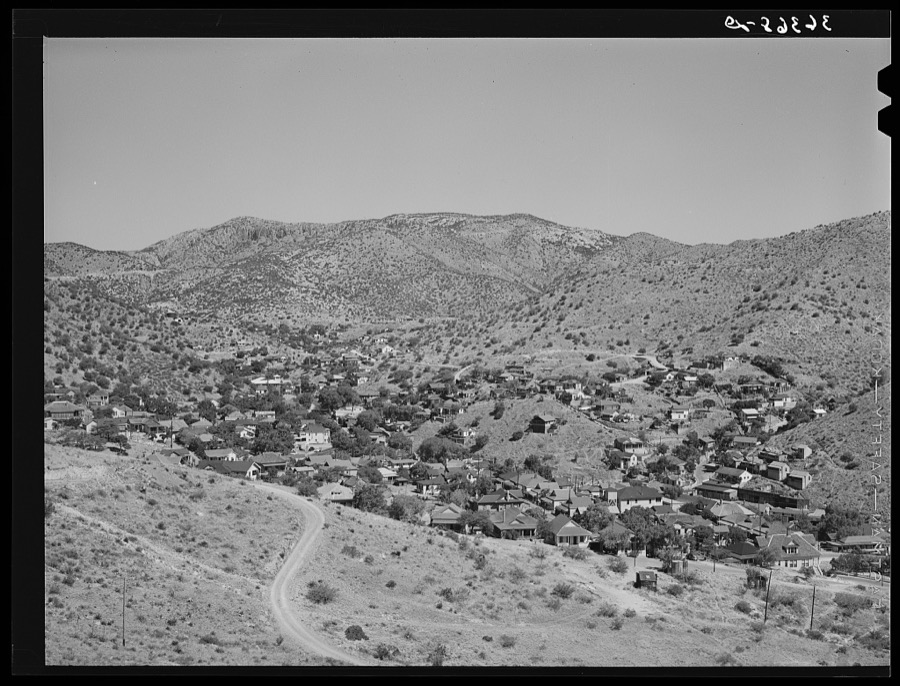
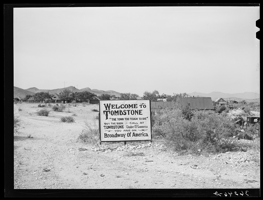
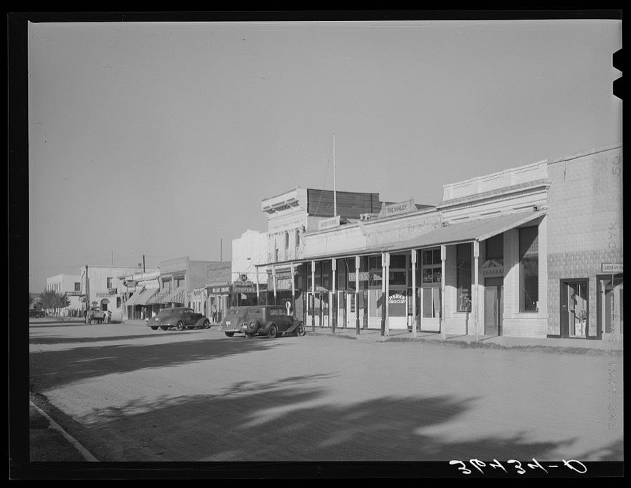
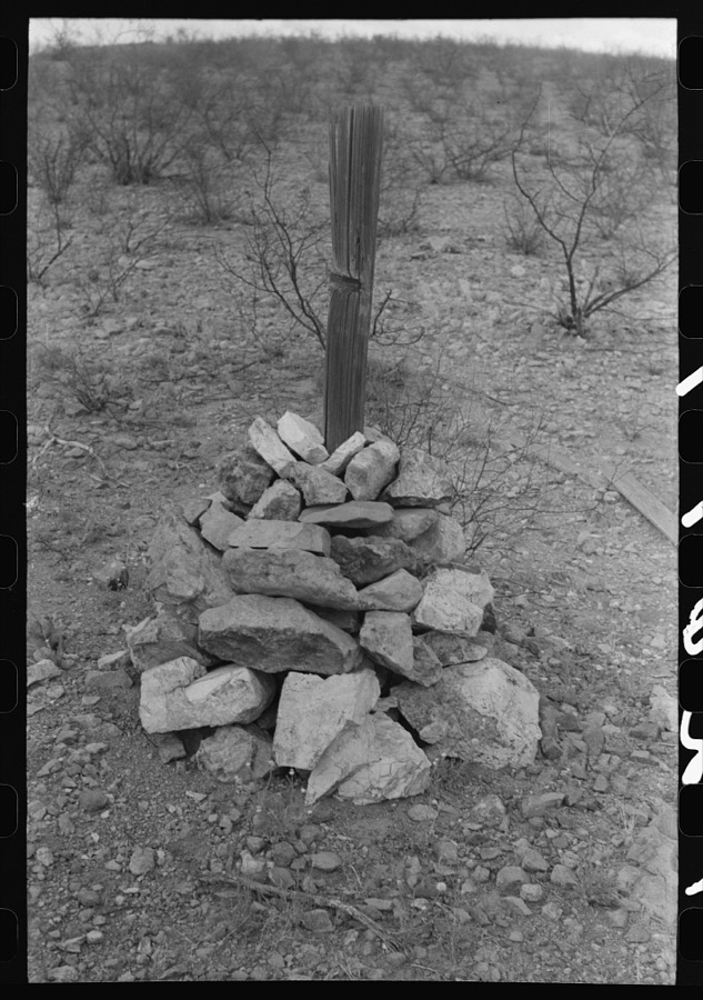
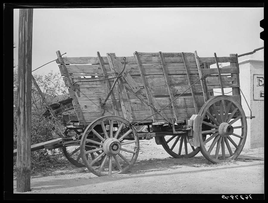
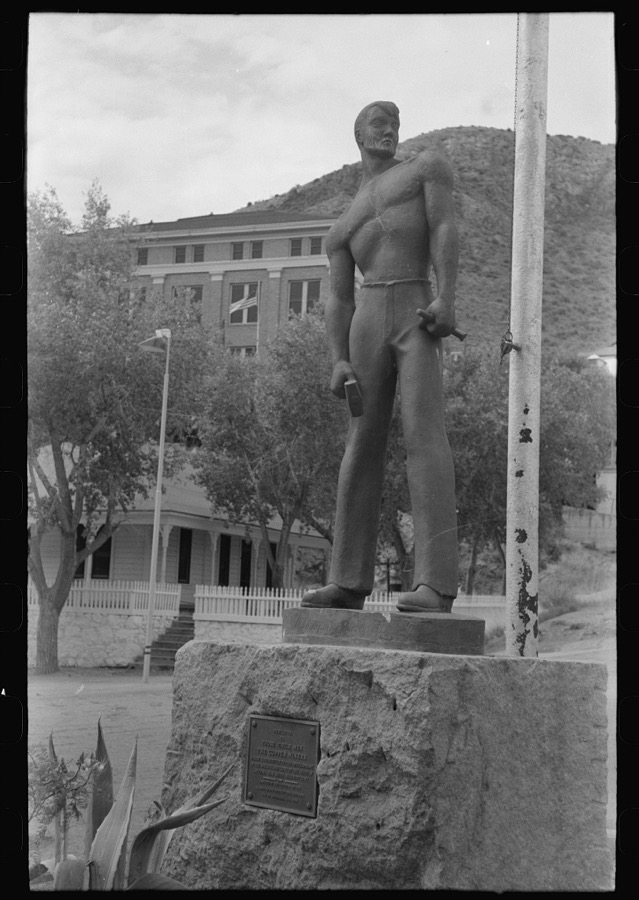
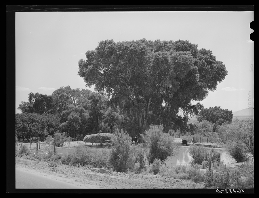
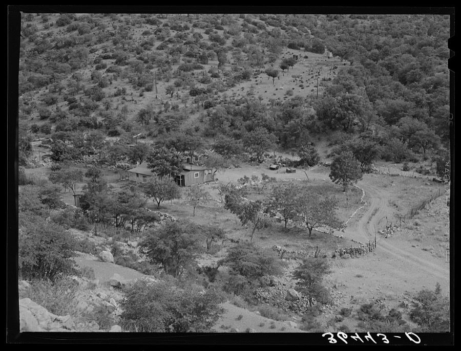
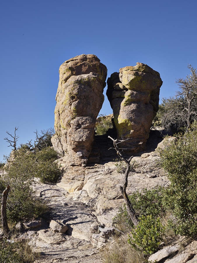
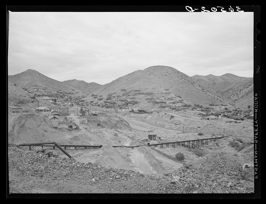
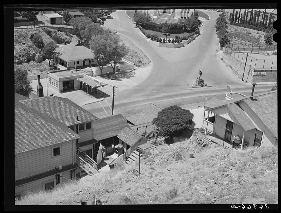
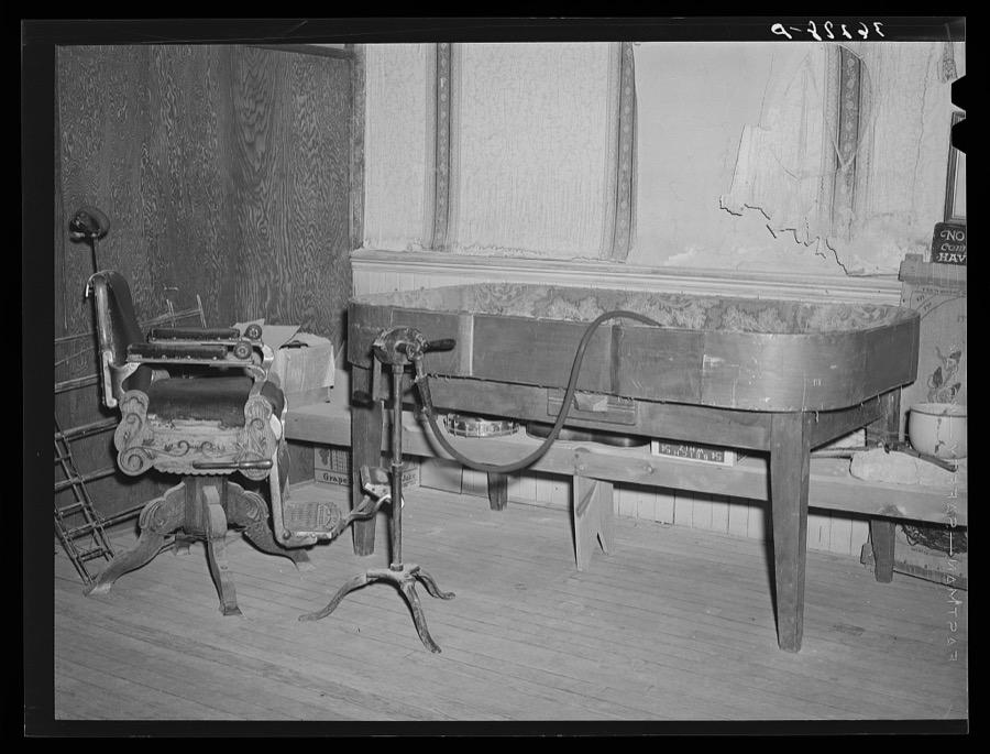
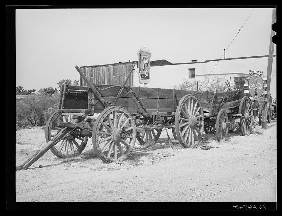
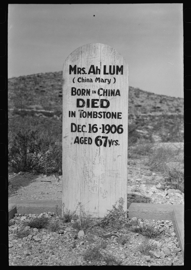
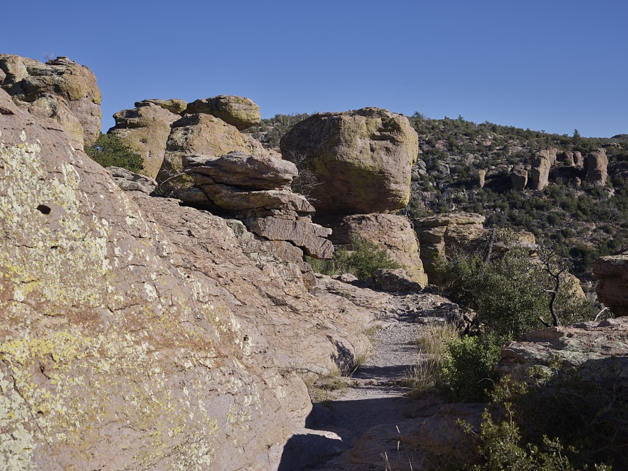
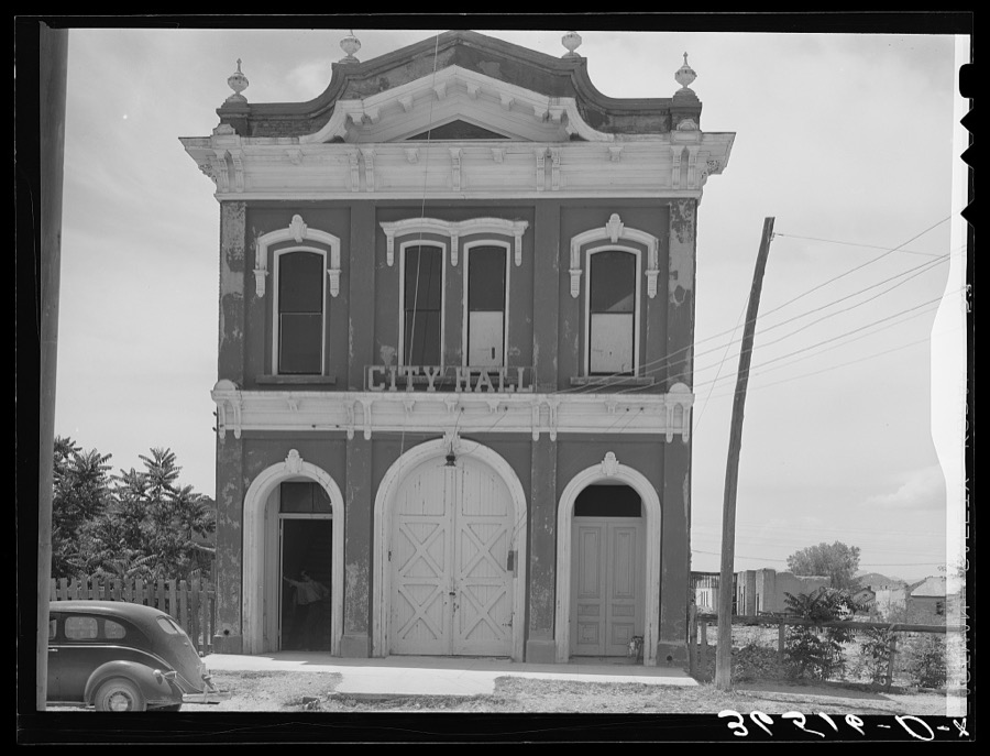
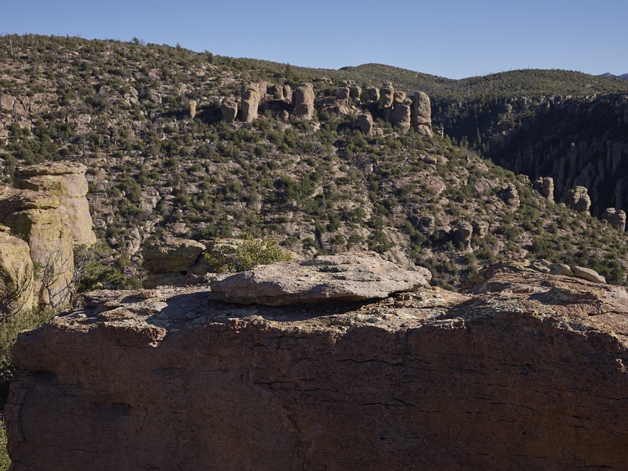
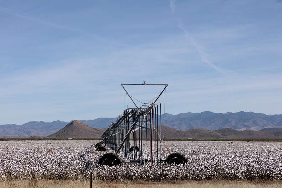
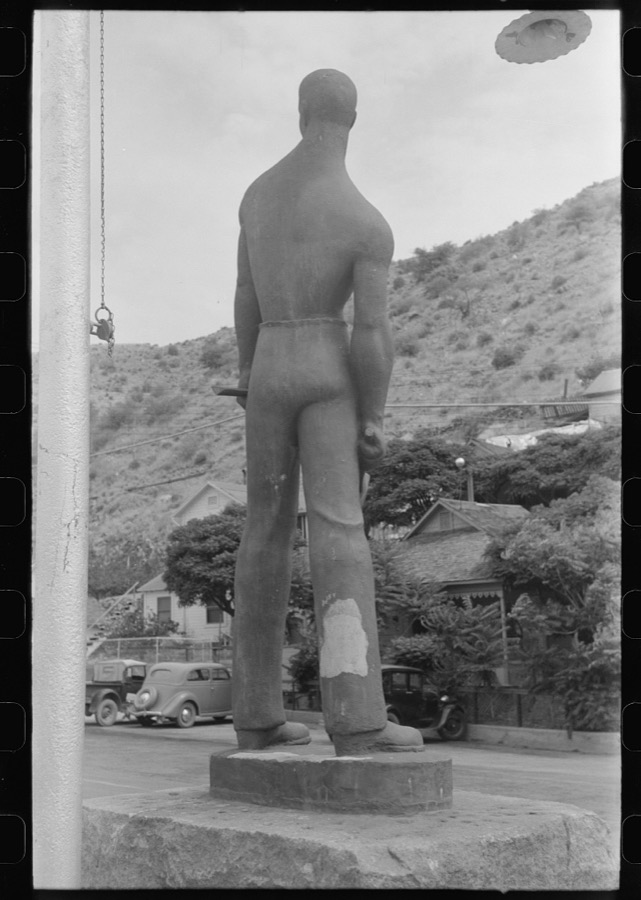
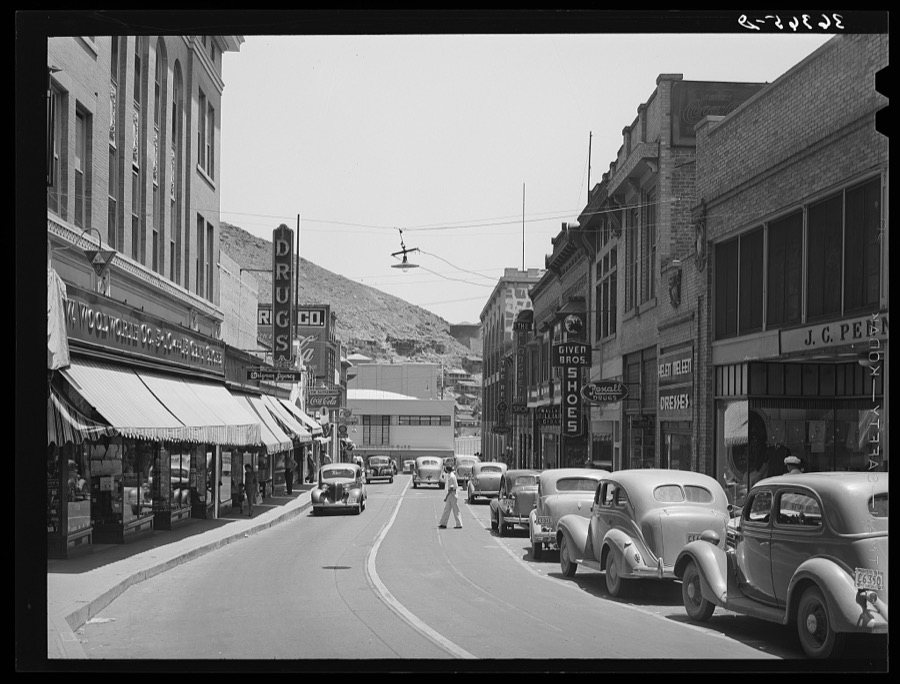
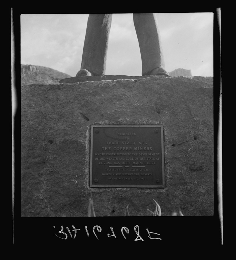
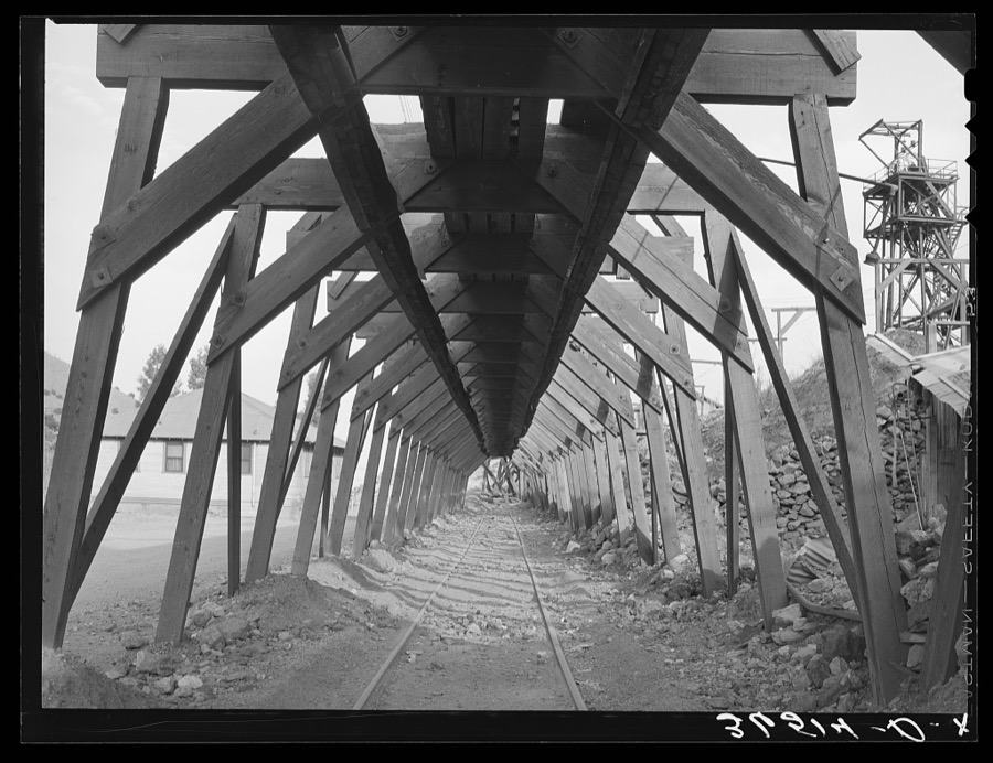
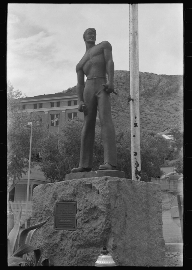
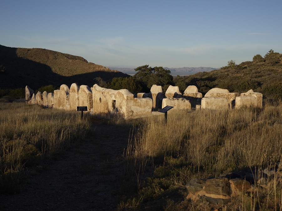
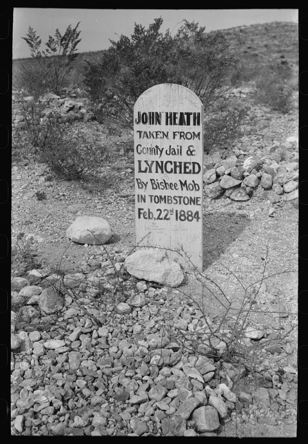
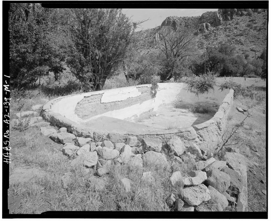
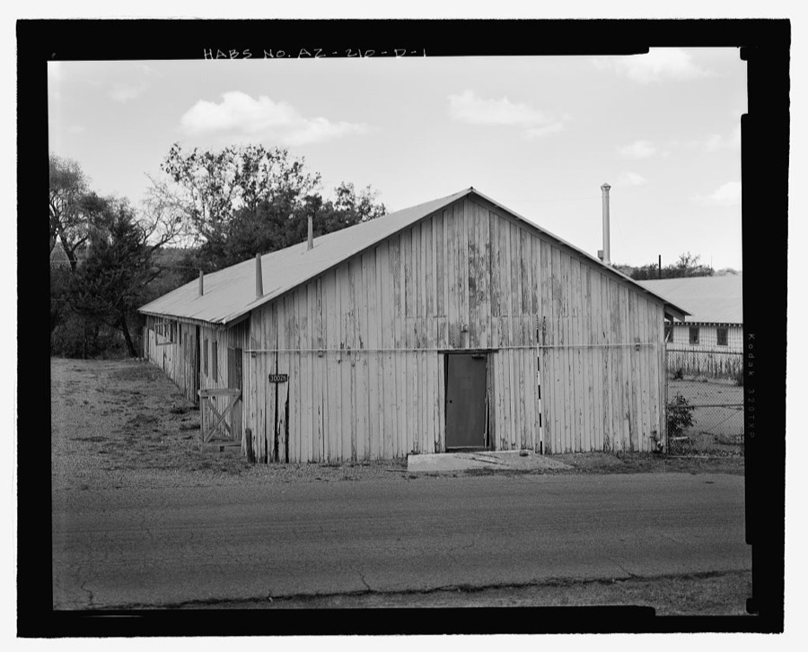
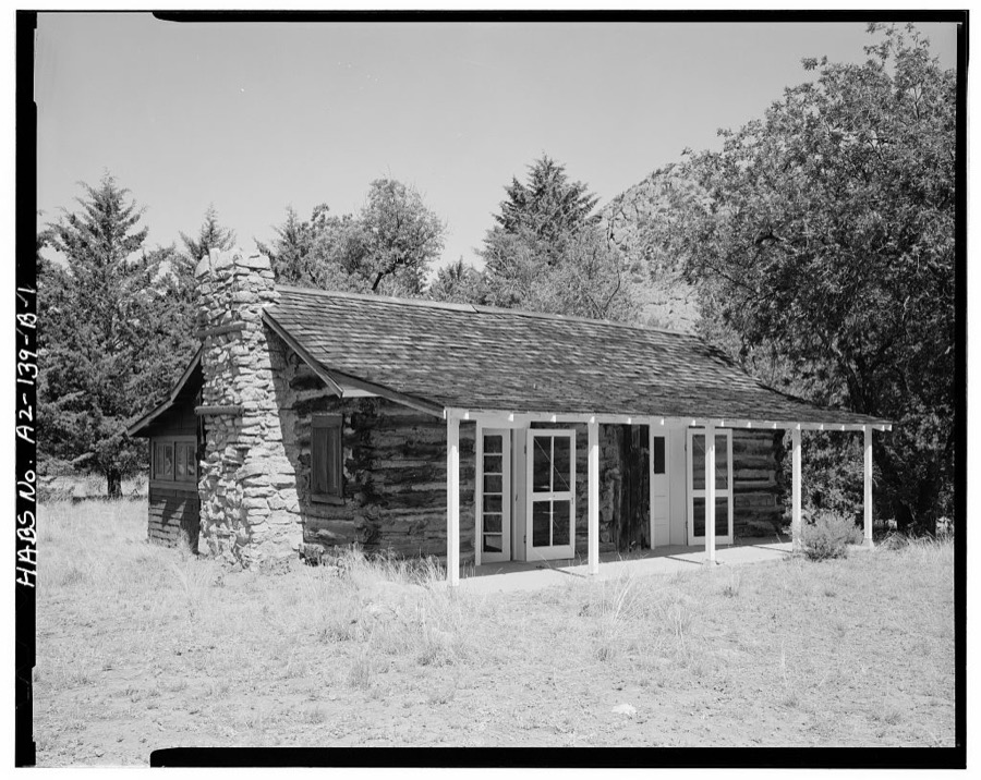
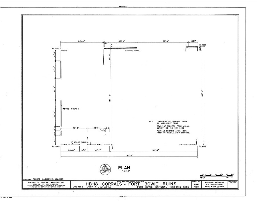
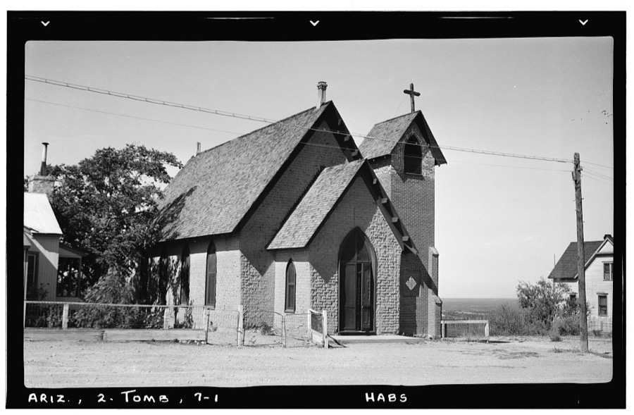
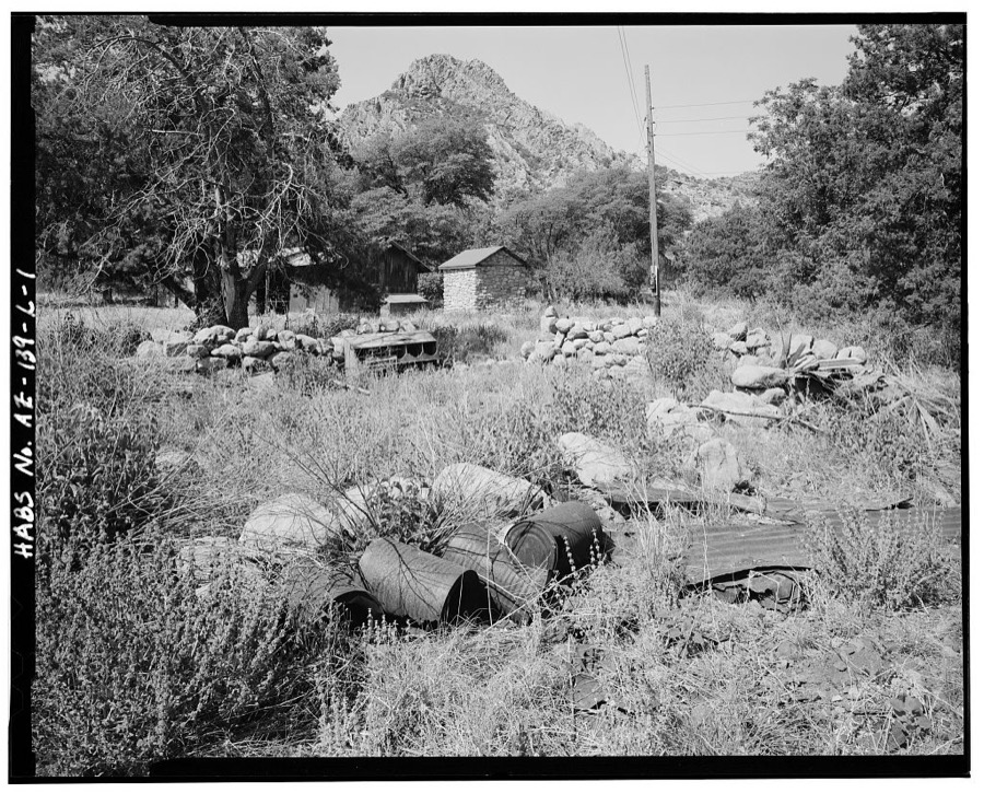
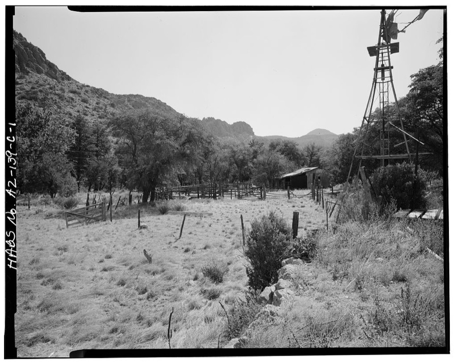
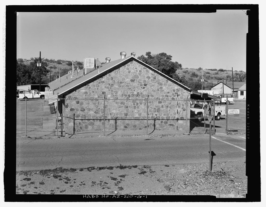
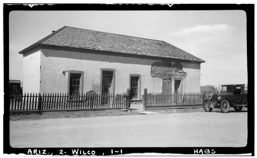
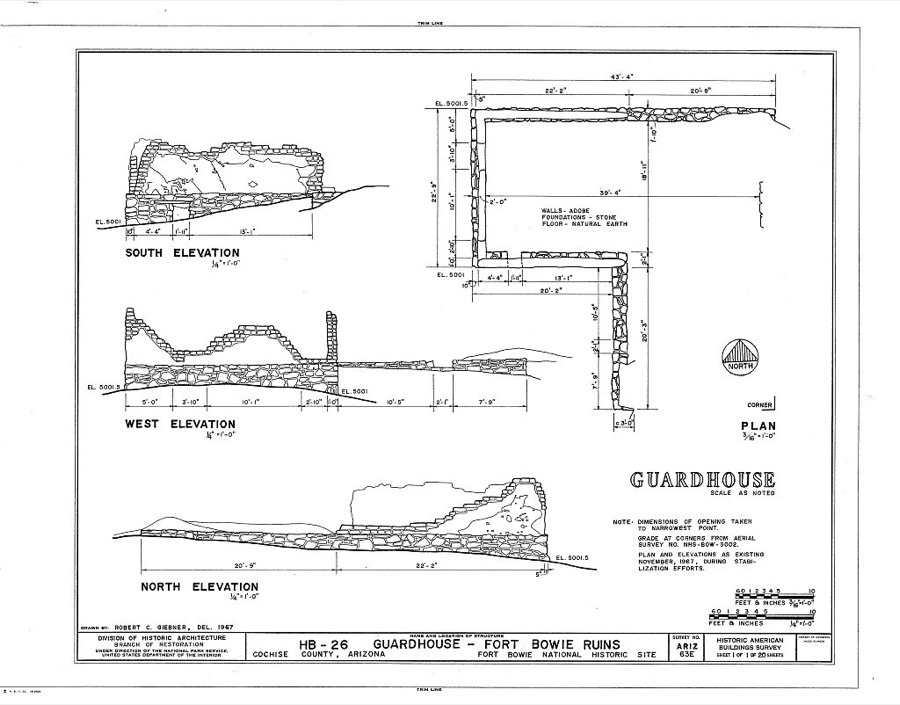
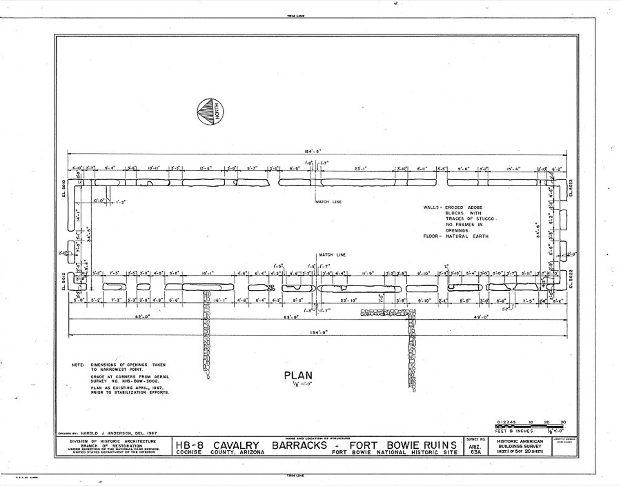
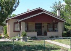
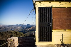
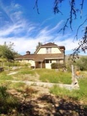
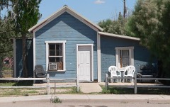
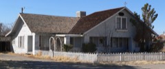
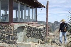
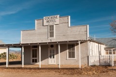
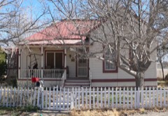
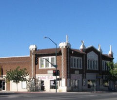
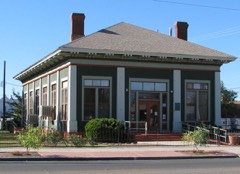
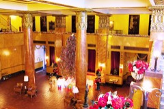
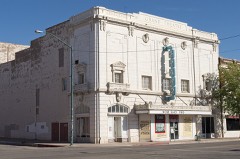
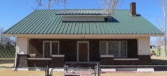
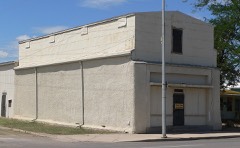
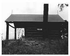
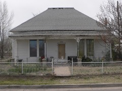
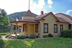
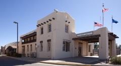
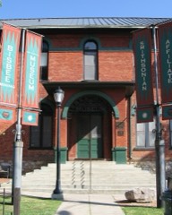
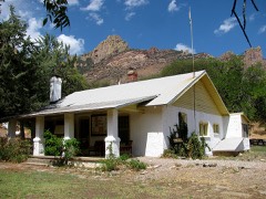
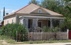
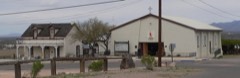
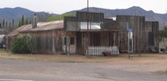
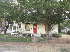
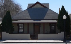
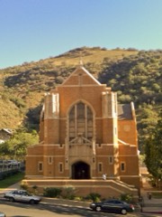
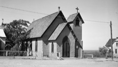
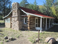
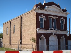
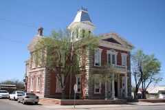
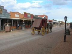
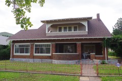
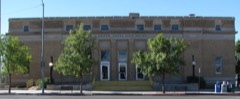
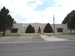
Every property in this county listed on the National Register of Historic Places, with the year it was listed and the federal nomination document.
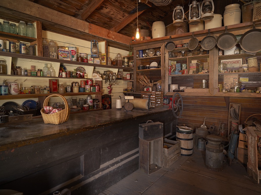
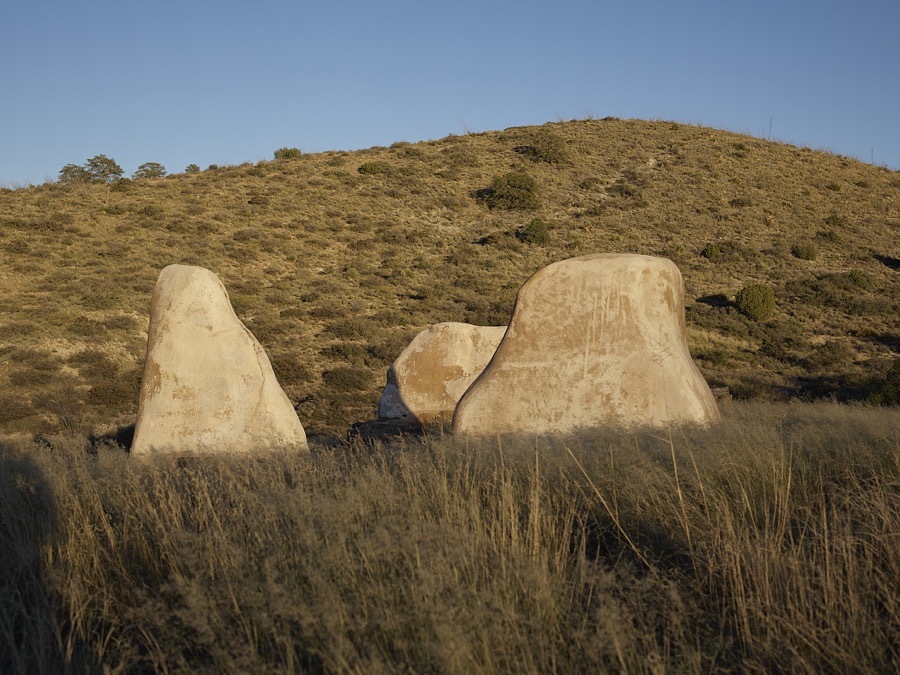
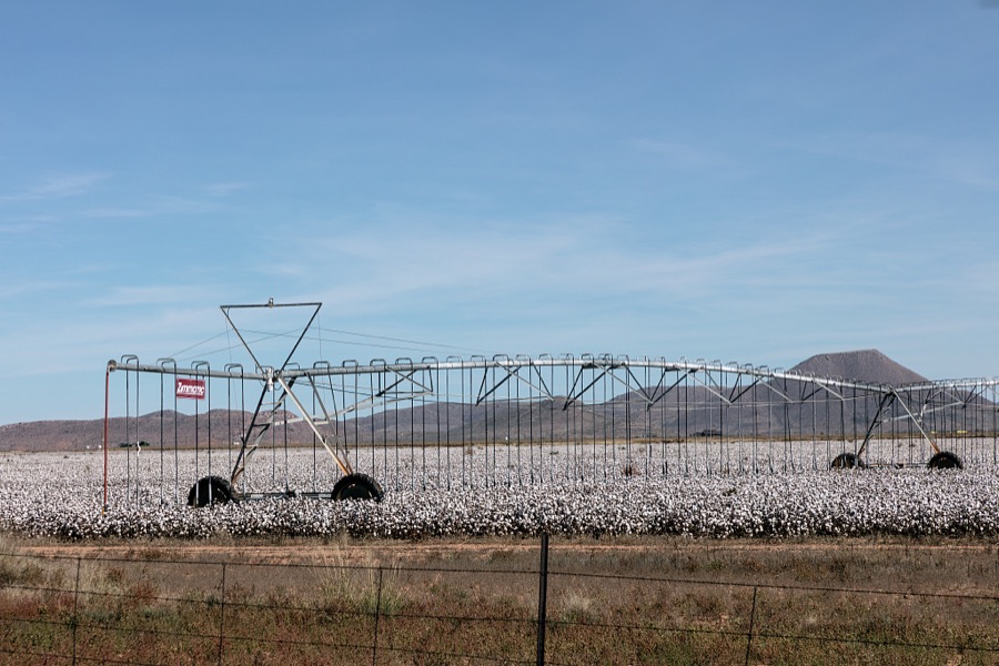
Selected from the Digital Public Library of America's 117 image records catalogued for this county. Every one shown here carries a public-domain status or a licence that permits reuse on a site that carries advertising; non-commercial, share-alike and restricted images are excluded. The selection is spread across the county's towns (at most eight per town), so no single institution's bulk upload crowds out the rest. Each opens the holding library's record, and the complete set at the Digital Public Library of America is one click away.
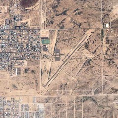
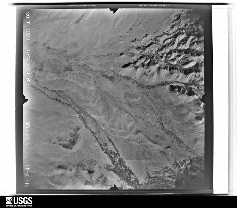
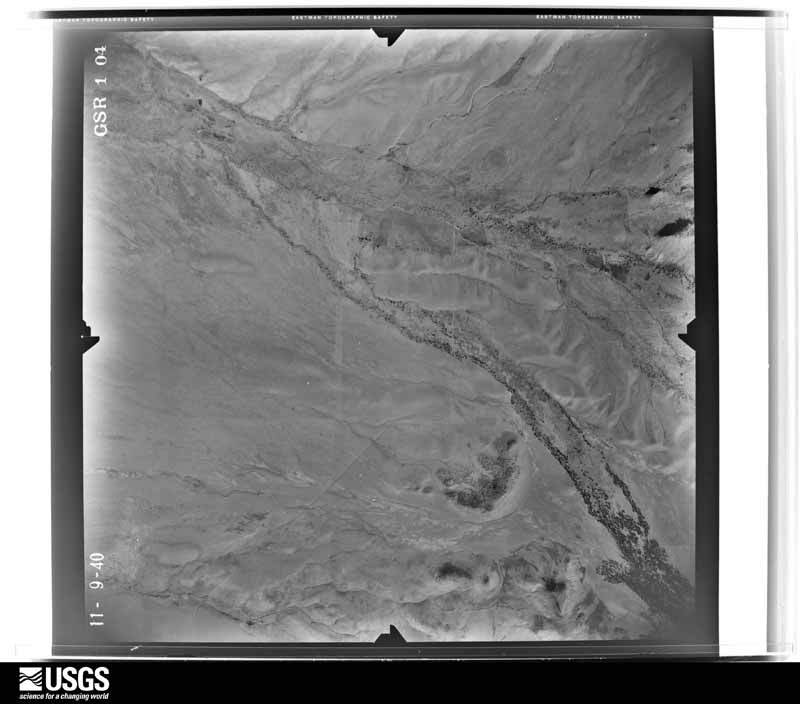
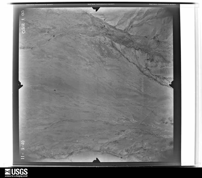
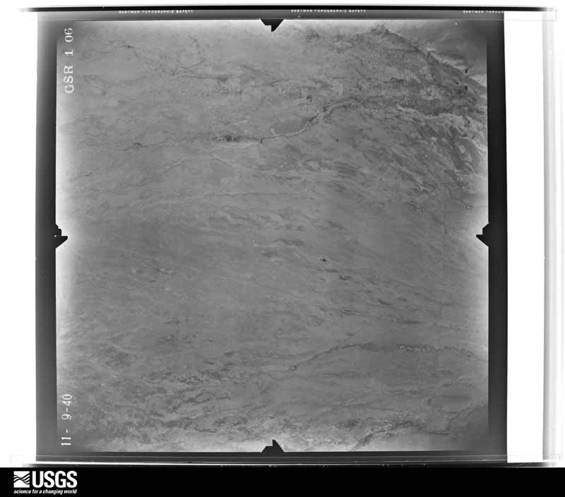
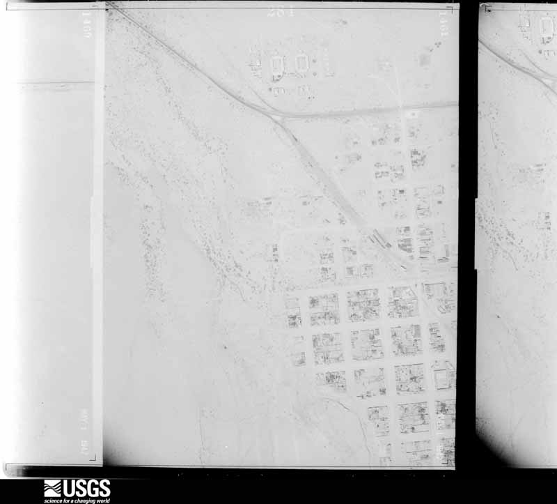
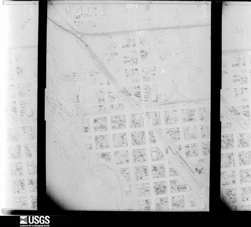
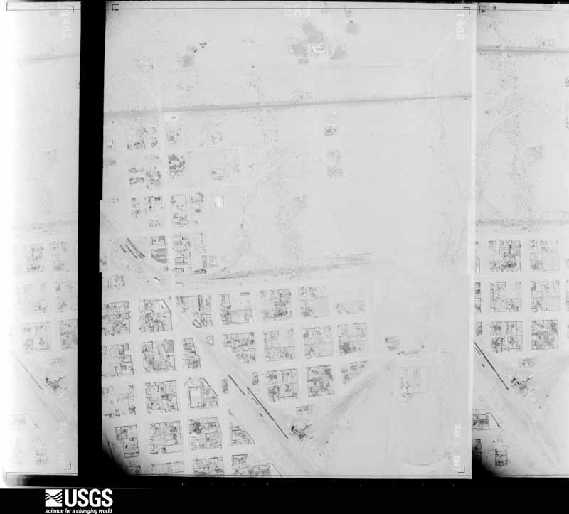
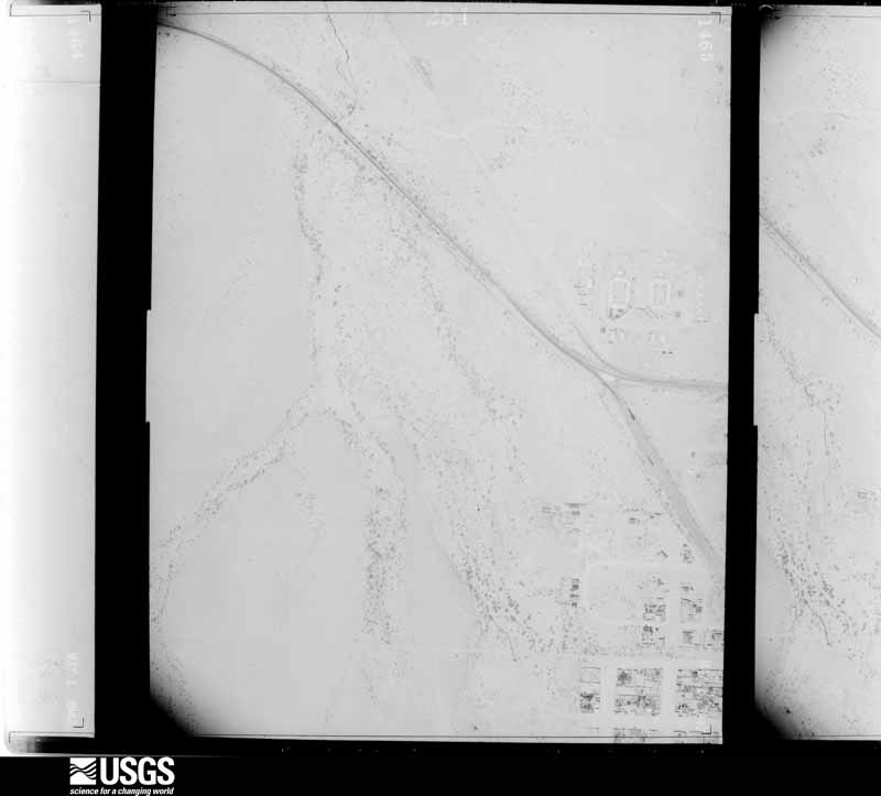
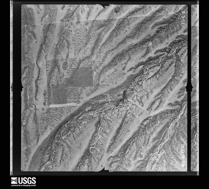
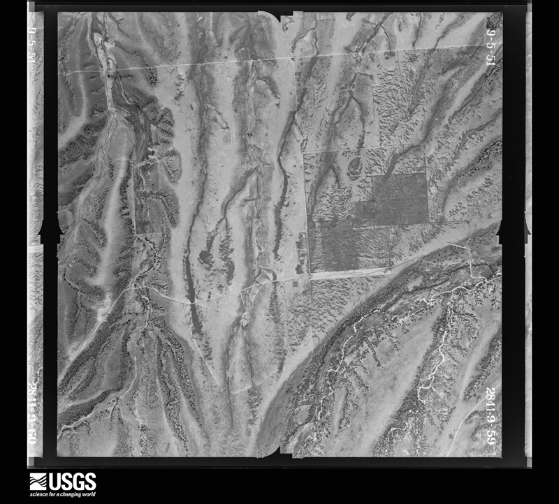
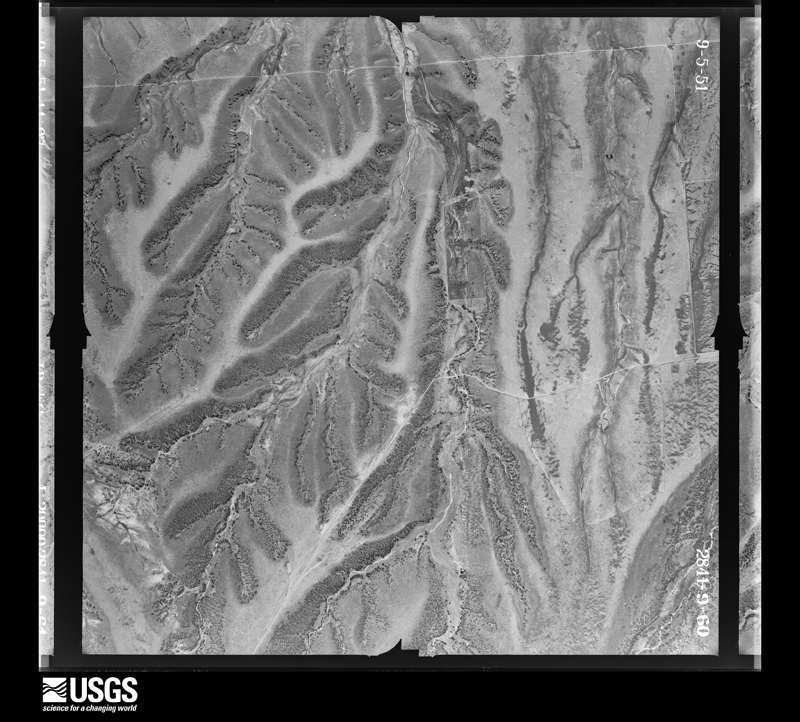
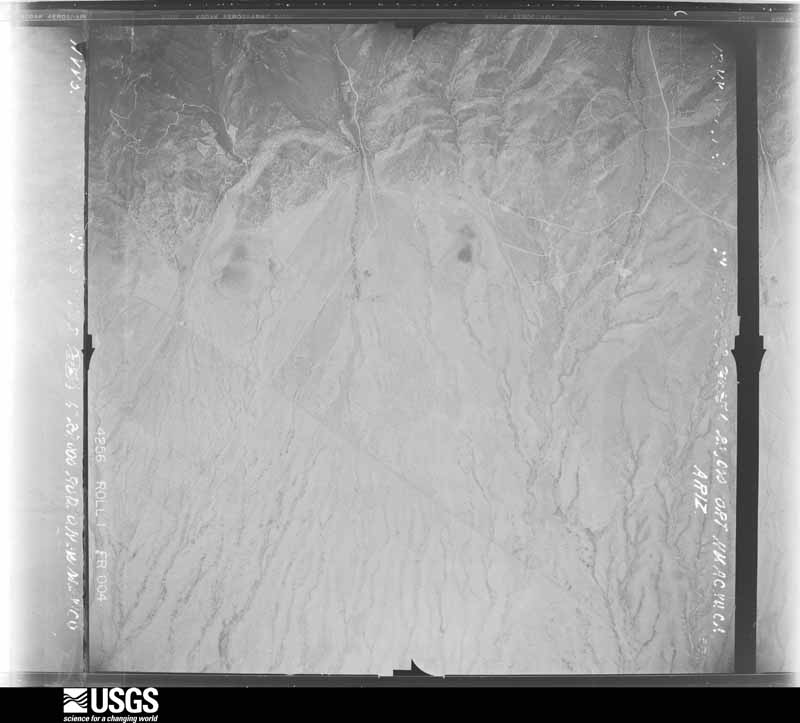
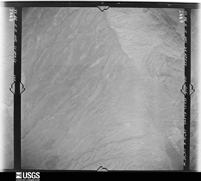
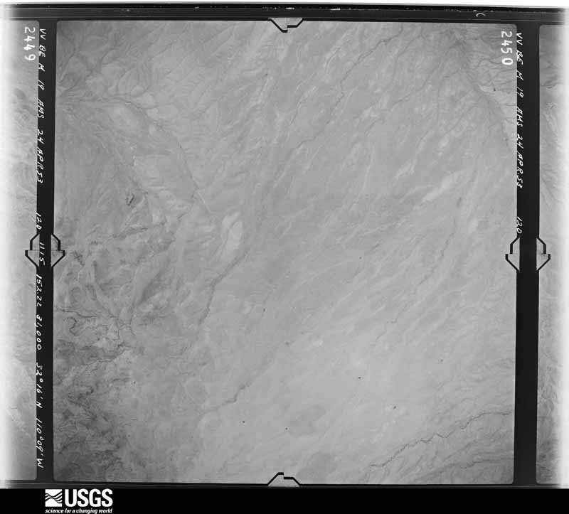
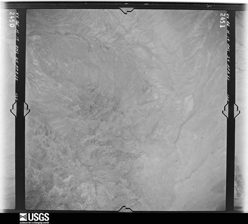
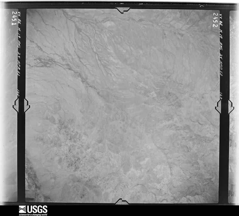
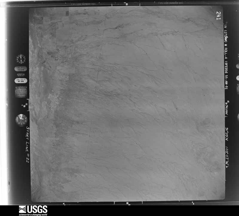
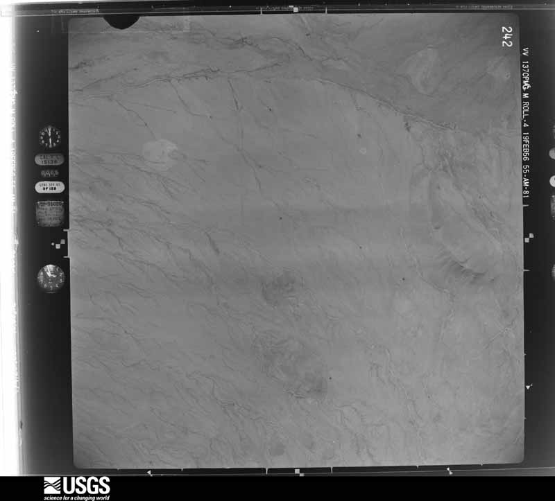
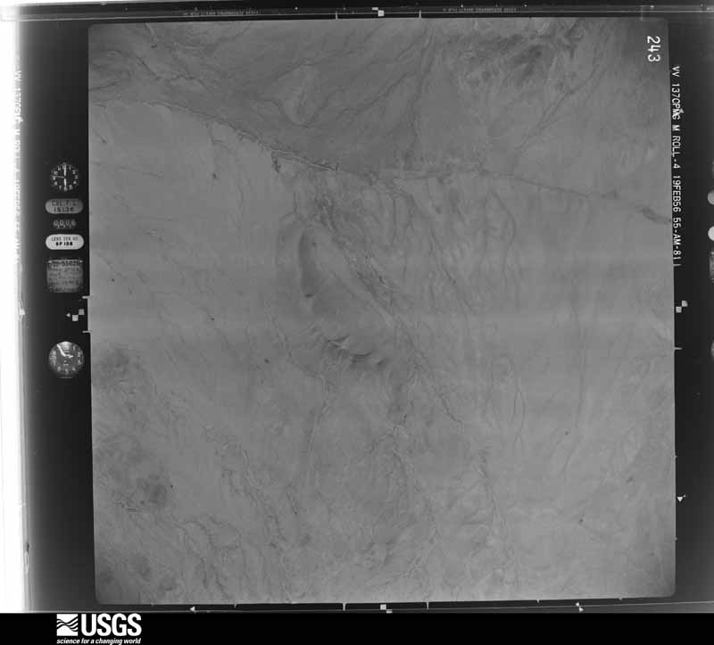
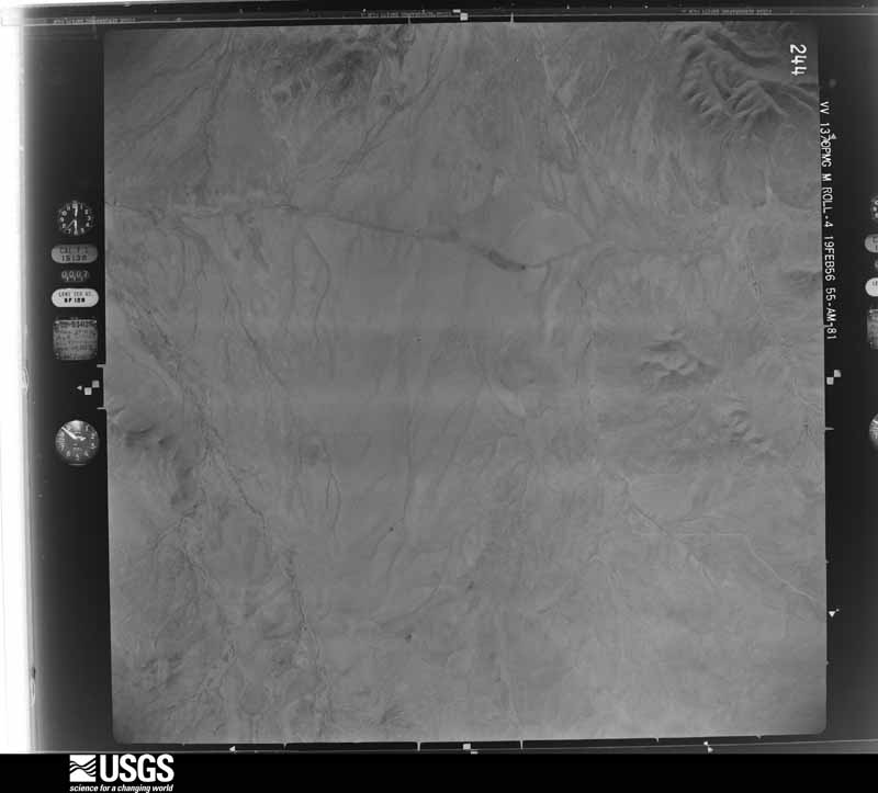
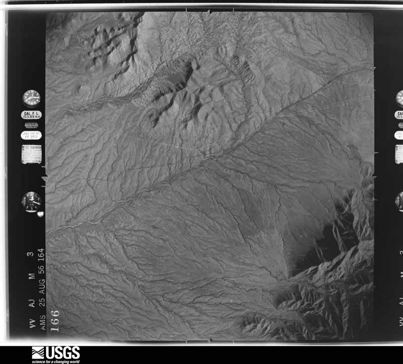
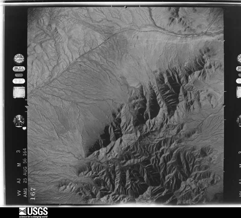
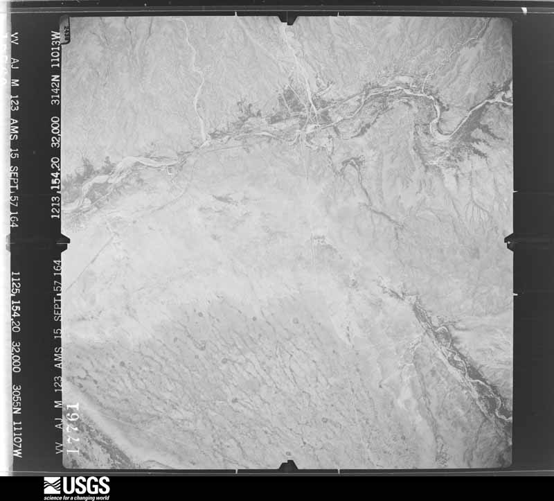
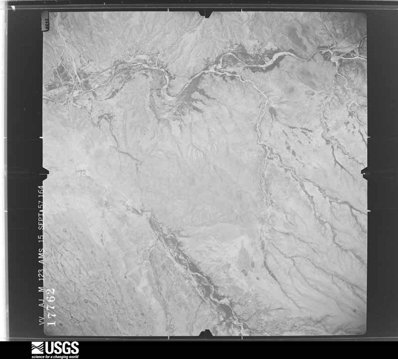
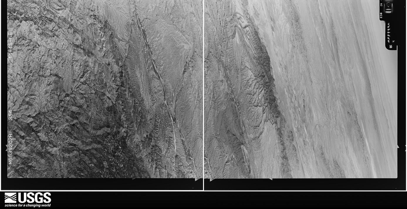
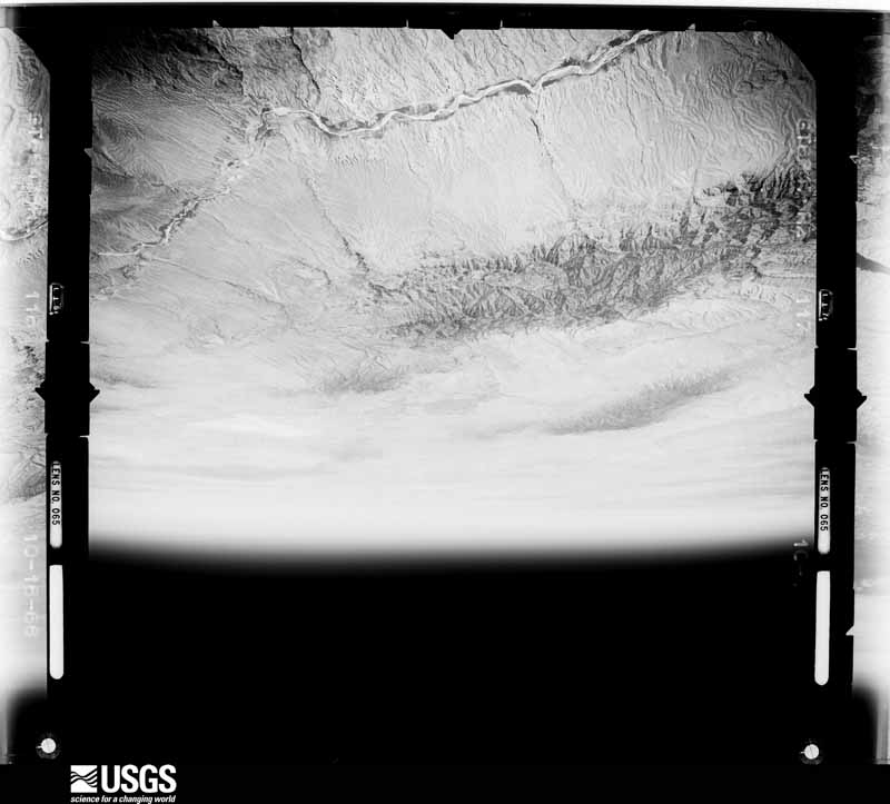
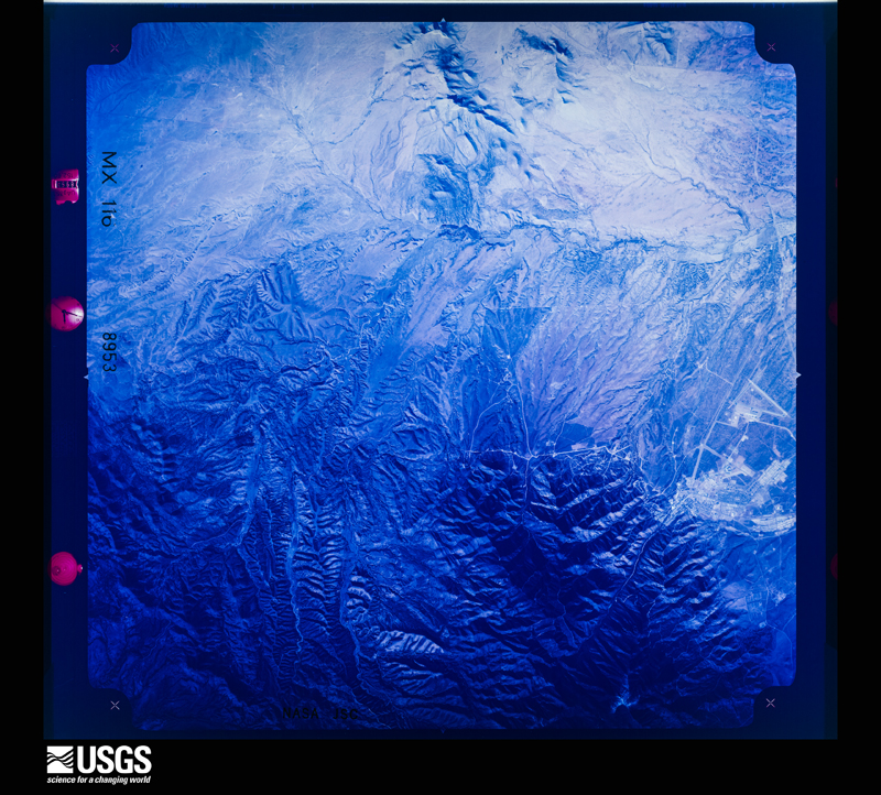
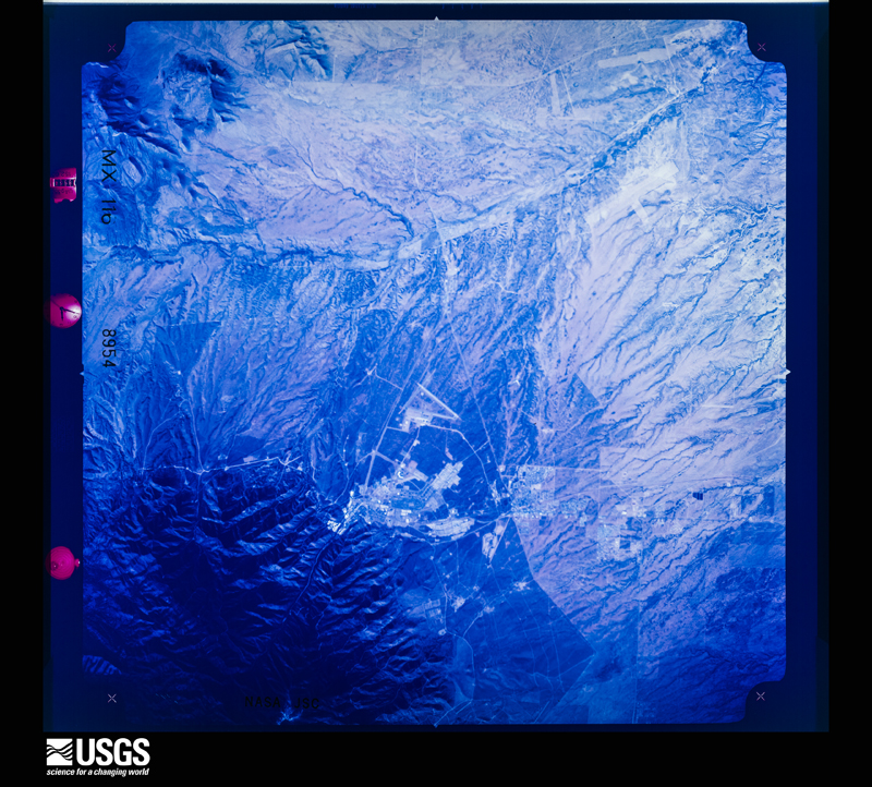
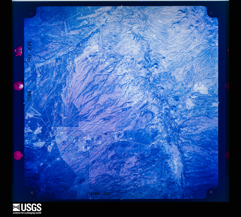
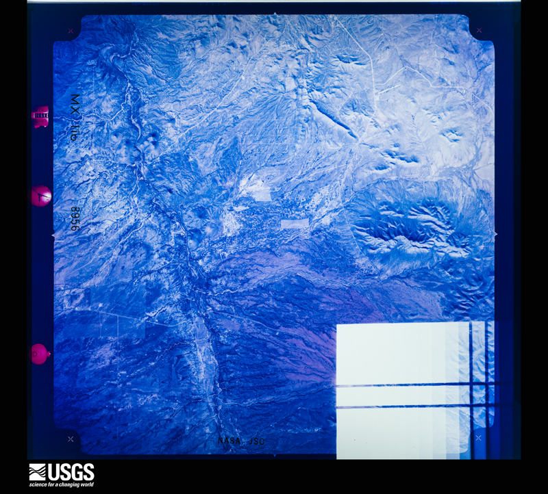
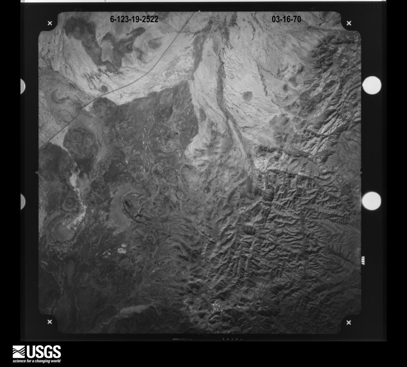
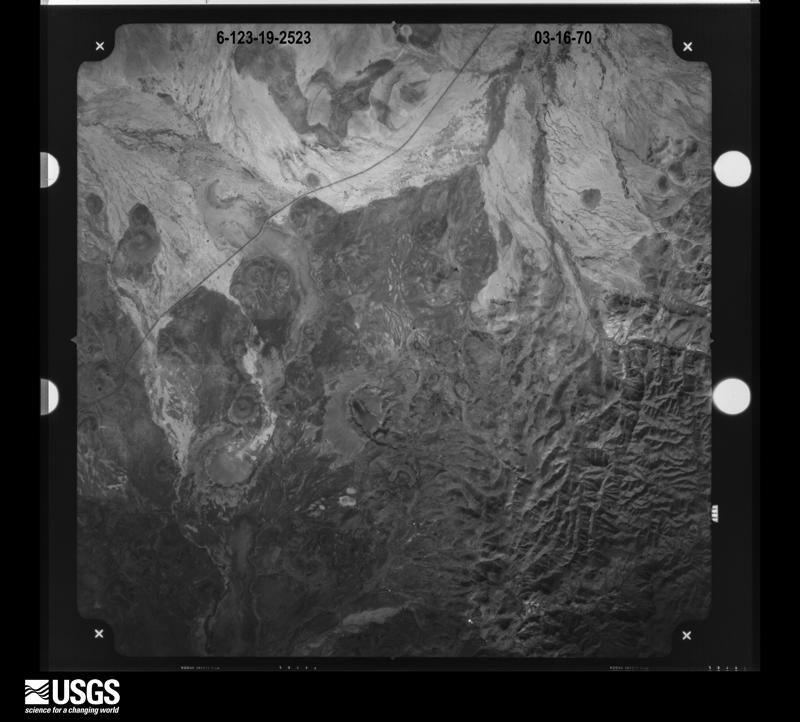
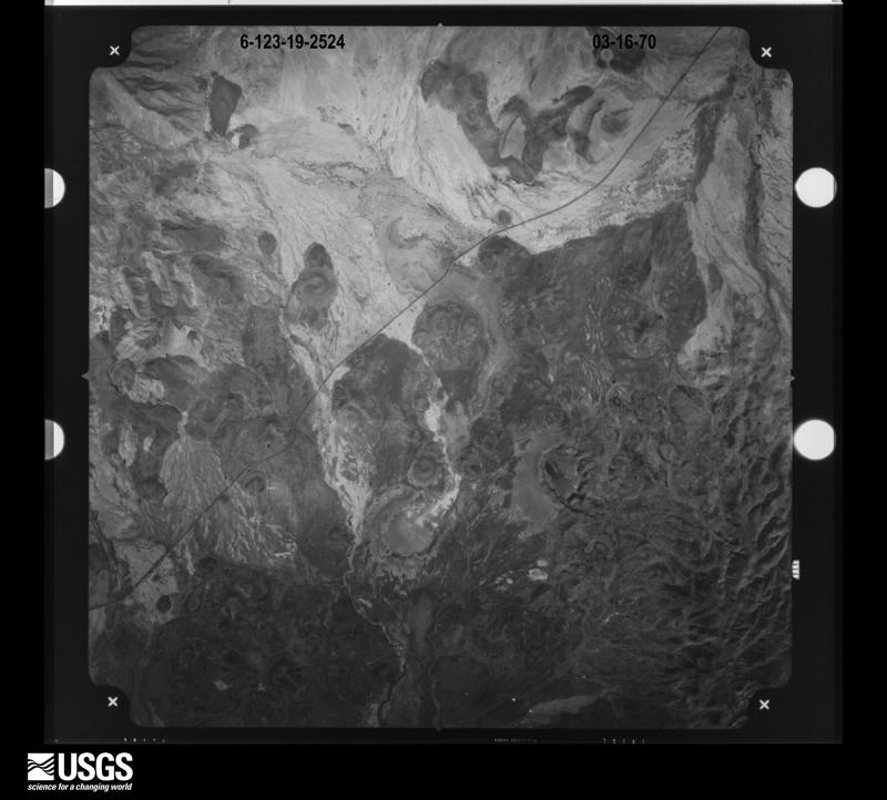
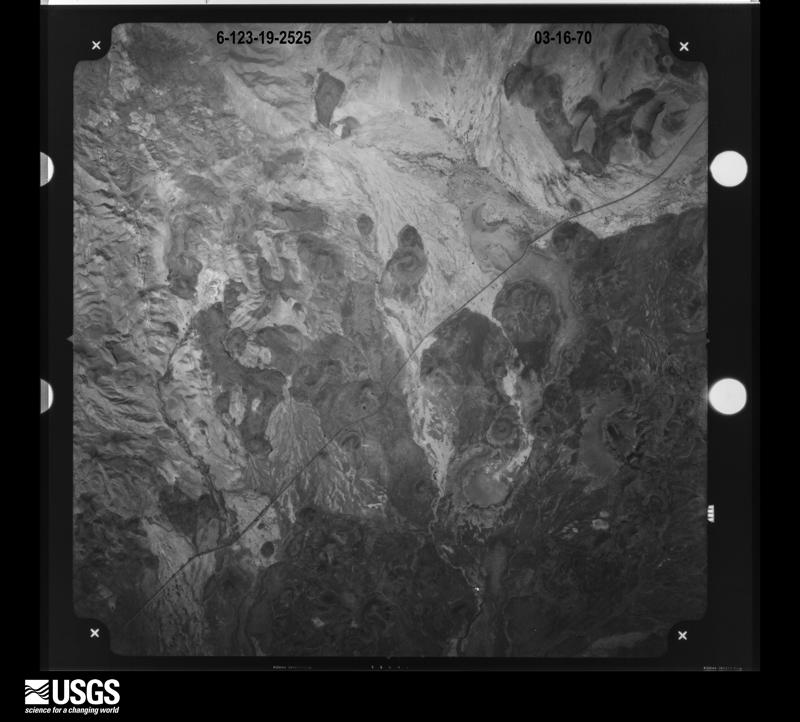
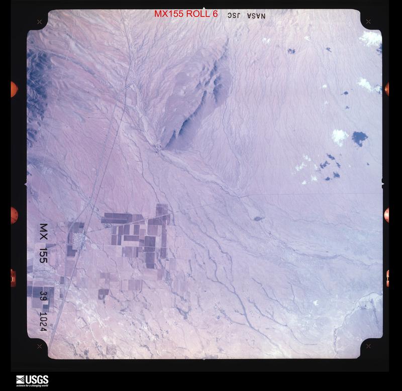
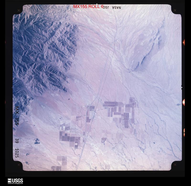
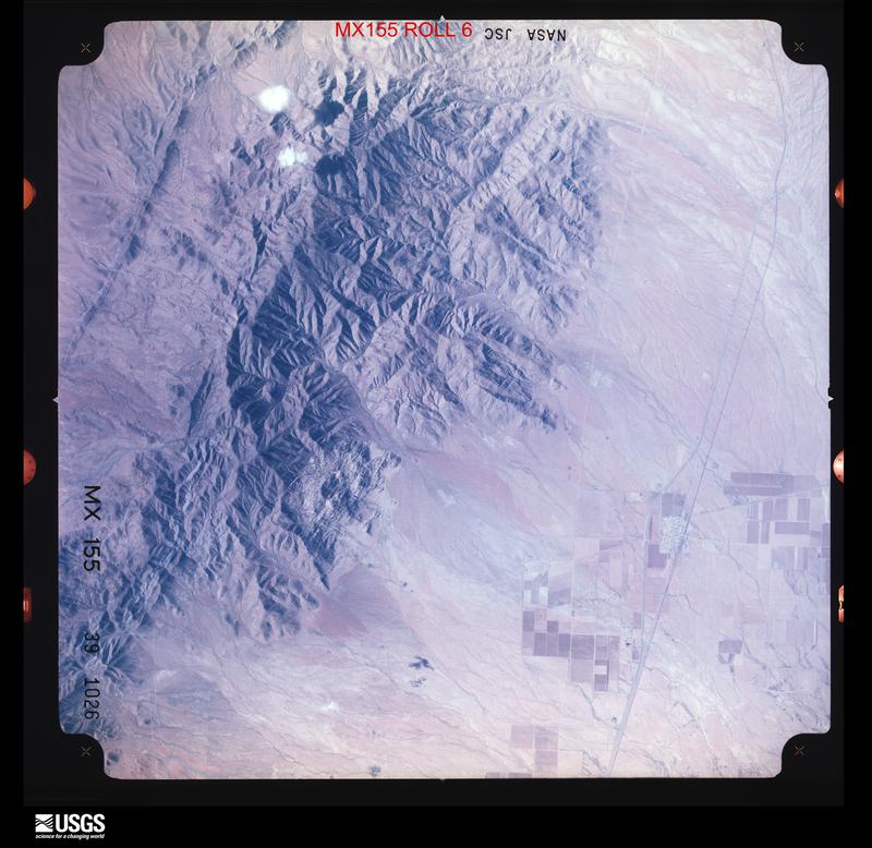
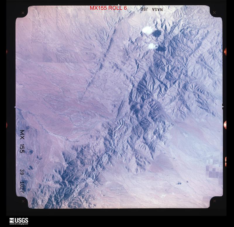
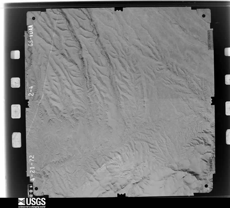
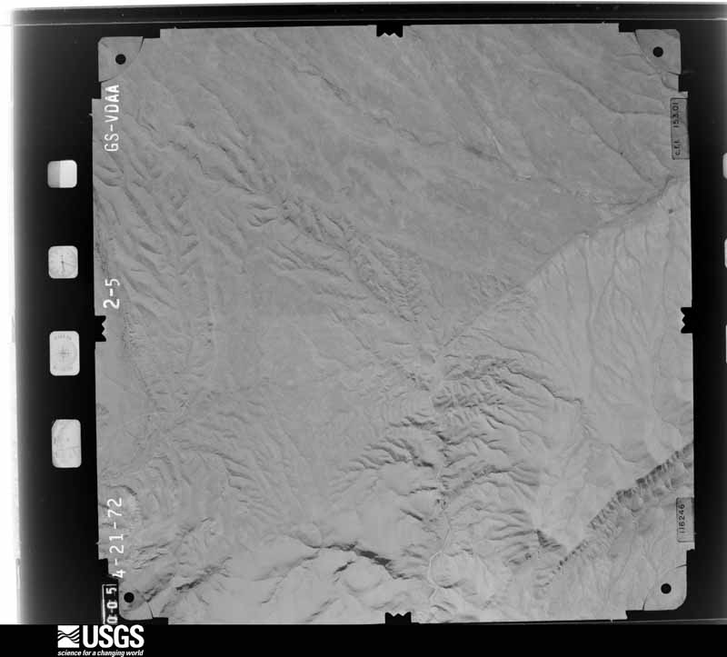
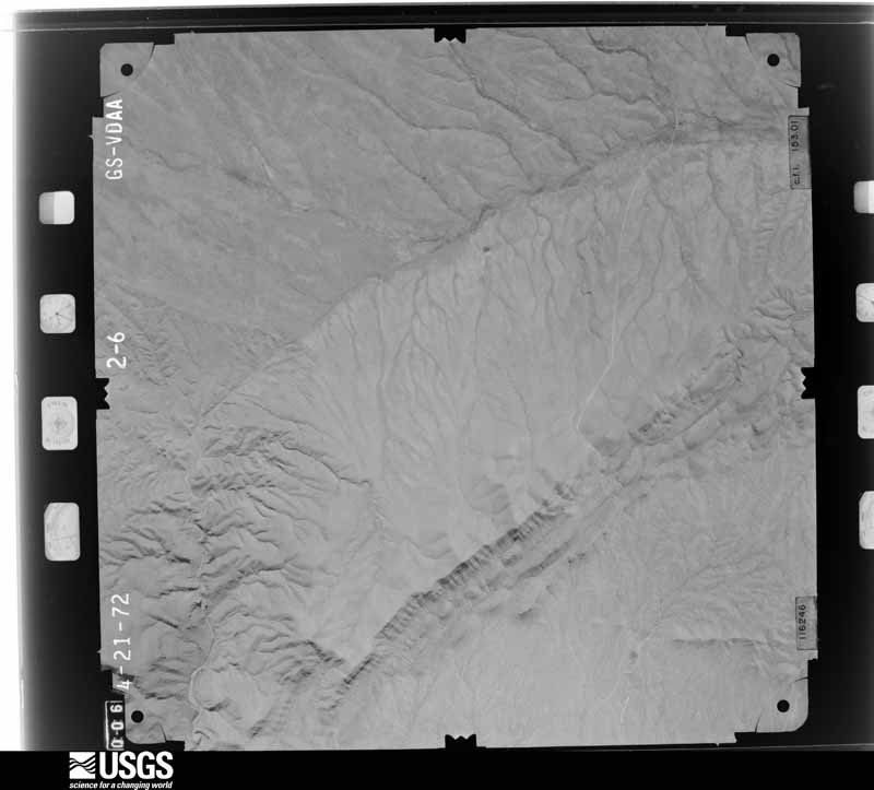
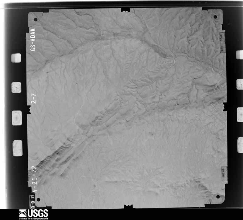
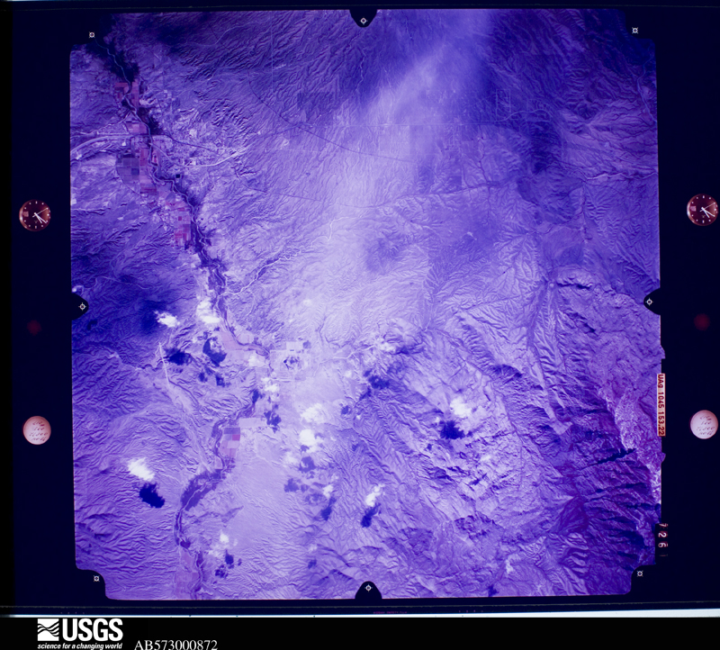
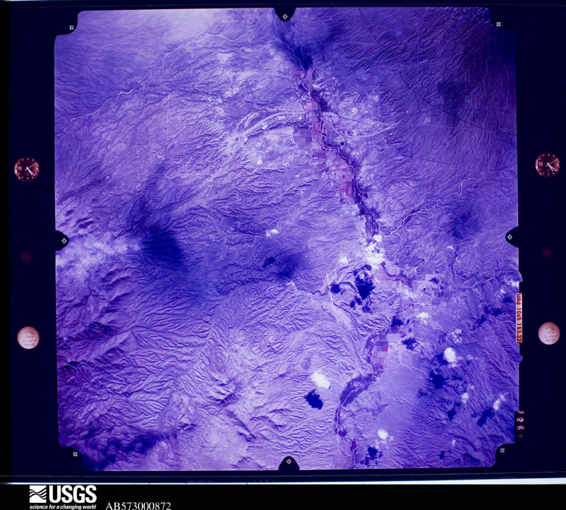
Flown by the U.S. Geological Survey between 1937 and 1989, the Aerial Photo Single Frames collection is the definitive mid-century view of the land: fields, roads and rivers as the camera saw them. The Survey holds 11,321 frames inside the rectangle that bounds this county; the 48 frames below were taken over the county itself, chosen across the decades of flights (at most four a year from that rectangle), so one flight cannot crowd out the rest. The full set is free to browse and download at EarthExplorer under the dataset Aerial Photo Single Frames.
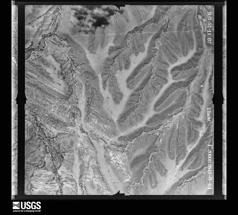
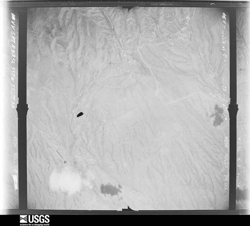
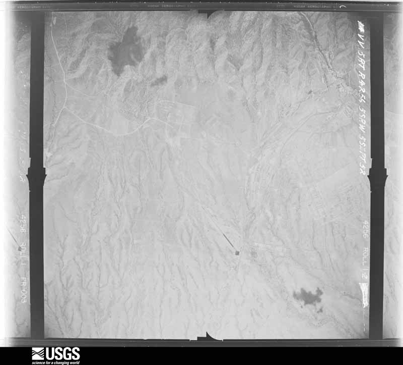
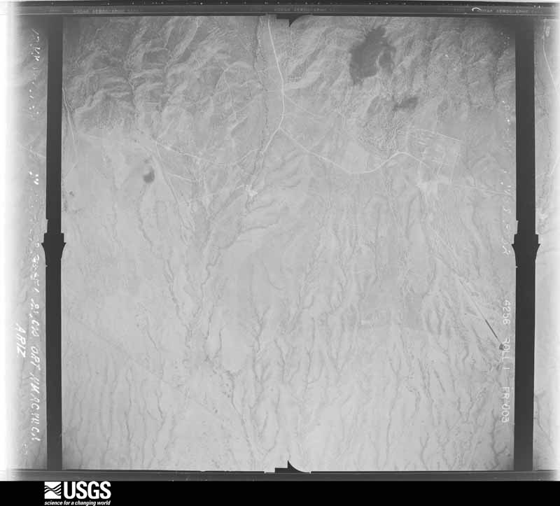
The thermometers that kept this county's weather, and the gages that measured the flow of its streams, as the federal records hold them. The extremes below are measured values from those records, not estimates.
Who lived here in 1950, one enumeration district at a time, as the Census Bureau described each district. Each row opens its official National Archives result, with Population Schedules and ED Maps available there.
Every wildfire the federal occurrence database records inside this county: 3,848 of them, burning about 566,872 acres. 837 started naturally and 89 were recorded as arson. Each settlement page carries the fires within five miles of it.
| Reported cause | Fires |
|---|---|
| Missing data/not specified/undetermined | 1769 |
| Natural | 837 |
| Recreation and ceremony | 408 |
| Equipment and vehicle use | 293 |
| Debris and open burning | 208 |
| Smoking | 175 |
| Arson/incendiarism | 89 |
| Misuse of fire by a minor | 33 |
| Railroad operations and maintenance | 19 |
| Power generation/transmission/distribution | 13 |
| Fireworks | 3 |
| Other causes | 1 |
The five largest, by the area the report gives. None of them was recorded as arson.
| Date | Cause | Size | Reported by | Name on the report |
|---|---|---|---|---|
| 8 May 2011 | Missing data/not specified/undetermined | 222,954 acres | Coronado National Forest | HORSESHOE 2 |
| 12 June 2011 | Missing data/not specified/undetermined | 30,526 acres | Coronado National Memorial | MONUMENT |
| 28 June 1994 | Natural | 27,720 acres | Coronado National Forest | RATTLESNAKE |
| 1 March 2009 | Recreation and ceremony | 16,802 acres | Coronado National Forest | HOG |
| 7 June 2017 | Natural | 15,210 acres | Coronado National Forest | LIZARD |
| 21 May 2012 | Recreation and ceremony | 12,015 acres | Coronado National Forest | CAMPINI |
| 27 June 2017 | Missing data/not specified/undetermined | 10,950 acres | Arizona Department of Forestry and Fire Management - Southeast District | SWISSHELMS |
| 23 June 2008 | Natural | 8,609 acres | Coronado National Forest | JACK WOOD |
Every settlement page carries the fires within five miles of it - see the settlement index below.
The NOAA Storm Events Database holds 612 reports for this county, causing 16 deaths, 27 injuries and about $12,647,530 in recorded property damage. Each settlement page carries the reports that name it.
| Kind of event | Reports |
|---|---|
| Flash Flood | 220 |
| Thunderstorm Wind | 200 |
| Hail | 125 |
| Tornado | 18 |
| Lightning | 15 |
| Flood | 14 |
| Funnel Cloud | 8 |
| Heavy Rain | 8 |
| Dust Devil | 3 |
| Debris Flow | 1 |
The most serious of them, by death, then injury, then recorded damage. The accounts are quoted exactly as the forecast office filed them.
| When | Event | Place named | Harm | What the report says |
|---|---|---|---|---|
| August 1997 | Flash Flood | Douglas | 6 killed | Six illegal aliens attempting to cross into the United States from Mexico were drowned when they tried to cross a flooded drainage ditch. |
| August 2006 | Flash Flood | Willcox | 2 killed, $10,000 | Heavy rainfall near the Town of Cascabel and along Cascabel Road caused several locations of the road to be flooded and impassable. At 19:40 MST (7:40 pm MST) a 1997 Ford flatbed pick-up truck, driving on Cascabel Road near the town of Cascabel (at mile post 23), en route to the Town of St. David encountered flood waters that were deep and moving rapidly across the street. The vehicle become stuck in the flood water and the two passengers in the vehicle were swept out of the truck and downstream. Both passengers perished. |
| July 2003 | Flash Flood | Sierra Vista | 1 killed, 1 hurt, $80,000 | no account filed |
| August 2018 | Flash Flood | Dragoon | 1 killed, $10,000 | Heavy rain of 1.5 to 2 inches fell over a two hour period over and just east of the 2017 Lizard Fire Burn Scar. A motorist drown when his car became stuck in flood waters on Cochise Stronghold Road a mile south of Dragoon Road. |
| September 2015 | Flash Flood | Lewis Spgs | 1 killed, $5,000 | A woman in her vehicle was swept into flash flood waters when attempting to cross a wash on High Knoll Rd east of Sierra Vista. Rescuers found the car had been swept downstream, but were unable to locate the driver. |
| September 2025 | Flash Flood | Benson | 1 killed, $2,000 | Two individuals attempted to cross a flooded wash and got swept away. Swift water rescues occurred with one person rescued and one fatality. An estimate of 0.75 to 1.0 inches of rainfall according to MRMS. This flash flooding closed Ocotillo Road from 9 PM on the 12th to roughly 6 AM on the 13th of September. |
| June 2015 | Lightning | Benson | 1 killed | Lightning struck and killed a man who was walking along a dirt road. |
| September 2007 | Flash Flood | Lewis Spgs | 1 killed | Flash Flooding along an unnamed wash on High Knoll Road near No Name Road east of Sierra Vista caused a 37 year old woman to be fatally swept downstream in her vehicle. |
| May 1997 | Lightning | Ft Huachuca | 1 killed | A woman camping with her two sons in a tent was killed when lightning struck the tent. Her two sons, one inside the tent, the other outside the tent, were not injured. |
| May 1997 | Lightning | Willcox | 1 killed | A man camping in his tent was killed when lightning struck his tent. |
| September 2019 | Tornado (EF1) | Willcox | 5 hurt, $250,000 | A tornado touched down near Cox and Hamilton Rd, and moved northeast for approximately 1.7 miles causing extensive damage. One mobile home was lifted and moved off its foundation. Five people inside, including three children sustained minor injuries. The roof of another mobile home was ripped off and power poles were snapped. Two other homes were damaged along with a large machine shed-type storage building and several trees were snapped in half or uprooted. The damage survey concluded that peak wind speeds from the tornado were between 90 and 100 mph. |
| September 2019 | Thunderstorm Wind | Willcox | 2 hurt, $75,000 | Straight-line wind damage occurred in and around Willcox. Damage to multiple structures along with multiple downed power poles. Many trees were downed as well. A fifth wheel trailer was tipped over with two occupants inside. Both suffered non-life-threatening injuries. |
| August 2018 | Thunderstorm Wind | San Simon | 2 hurt, $50,000 | Thunderstorm winds blew over a U.S. Postal Service semi-tractor trailer that was traveling westbound on Interstate 10 near San Simon. The driver and passenger suffered minor injuries but were treated and released from a nearby hospital. A nearby state DOT weather instrument measured a wind gust from the south of 83 mph at the time of the accident. |
| July 1971 | Tornado (F1) | not stated | 2 hurt, $25,000 | no account filed |
| July 2012 | Flash Flood | Bledsoe | 2 hurt, $10,000 | Heavy rain over and adjacent to the Monument Fire burn scar caused flash flooding in the Sierra Vista and Hereford areas. Numerous roads were covered with flood waters, mud, boulders and other debris. A vehicle was stuck in the flooded intersection of Bloomfield Road and Kings Ranch Road. Two people were caught up in flood waters at the Carr Canyon Campsite. A 22 year old male managed to escape up the bank of the wash but a 16 year old female was swept downstream and not located until 4 hours later. Both suffered minor injuries. An elderly couple were rescued from the roof of their vehicle stuck in flood waters at the intersection of Ramsey Road and Burrow Drive. |
| July 2021 | Flash Flood | Pomerene | 2 hurt | One to three inches of rain in 90 minutes in the Cornfield Canyon watershed caused flash flooding. As two females, who had exited their vehicle, were viewing the stream at Ocatillo Road, an additional rise in water levels swept them downstream. One was rescued about three quarters of a mile away while the other was finally located in the San Pedro River the next morning. Both sustained minor injuries. |
| August 2011 | Lightning | Sunnyside | 2 hurt | Two illegal immigrants were struck by lightning near Sierra Vista and transported to a hospital. The Border Patrol reported that the injuries sustained by the two illegal immigrants was consistent with a lightning strike. |
| June 2008 | Lightning | Douglas | 2 hurt | Two children were struck by lightning in Douglas. |
| July 2000 | Lightning | Douglas | 2 hurt | 2 boys, age 13 years, injured by lightning strike. |
| July 2018 | Thunderstorm Wind | Double Abode | 1 hurt, $30,000 | A mobile home with a resident inside on Morin Road was overturned and heavily damaged due to a thunderstorm wind gust. Three trees were also downed near milepost 3 of Frontier Road, and power lines were knocked down near Frontier Road and Double Adobe Road. The ASOS at the Bisbee-Douglas Airport recorded a wind gust to 58 mph at 1828 MST. |
| July 2015 | Flash Flood | Cascabel | 1 hurt, $8,000 | A woman and her dog became trapped in their truck when she attempted to drive through a flooded wash crossing Cascabel Road. The woman did not realize that water had washed the road away. When she attempted to cross the wash, the vehicle dropped 3 feet into the water before it was pushed downstream about 200 yards. Cascabel fire personnel and civilians were able to rescue both the woman and her dog. The woman was transported to a nearby hospital and treated for severe hypothermia. |
| August 2021 | Flash Flood | Portal | 1 hurt, $7,000 | Two to four inches of rain in 3 hours in the southern Chiricahua Mountains caused flash flooding of streams over and west of the mountains. Two motorists in one vehicle were stuck in floodwaters east of McNeal on Davis Rd. near milepost 30. An elderly man attempted to drive through waters to rescue them when his vehicle was swept downstream. He was rescued but not before suffering hypothermia from being in the cold water. |
| June 2018 | Dust Devil | Sierra Vista | 1 hurt, $1,000 | A dust devil damaged several tents at a farmers market in Sierra Vista. One person suffered a broken wrist and hand when a tent landed on her hand. |
| October 1988 | Hail | not stated | 1 hurt | no account filed |
| August 2022 | Flood | Elfrida | $1,500,000 | Rainfall of 2 at the headwaters of Rucker Creek traveled downstream and through and existing breach in a berm combined with rainfall in the immediate area, resulted in an exacerbation of flooding in Elfrida. Flood waters expanded west of Highway 191 and became deeper throughout most of the community. A total of 42 residences sustained at least some flood damage. Eleven sustained major damage and 3 were determined to be a total loss. A couple of businesses also sustained flood damage and floodwaters also affected septic tanks and wells. |
| August 2022 | Flash Flood | St David | $1,500,000 | Heavy rain of 2-2.5 in less than 90 minutes northeast of town caused flash flooding in St. David, mainly southwest of State Route 80, although the highway was closed due to flooding for a period of time. A total of 53 homes sustained at least some flood damage. A homeowner with a basement reported flood water hit a depth of 6 feet, destroying a new furnace and damaging electrical wiring. Floodwaters also affected septic tanks and wells. |
| July 2011 | Flash Flood | Bledsoe | $1,000,000 | Very heavy rainfall (1.5 to 3 inches) occurred over the Monument Fire Burn area in the Huachuca Mountains resulting in significant flash flooding and damage to areas in Ash, Miller and Carr Canyons, as well as along Highway 92. Heavy rain fell only over the Ash, Miller, and Carr Canyons, but due to the burn scars, water quickly flowed down the mountain to areas that received little or no rain. Boulders, trees, mud, and propane tanks were carried by the flood waters. At least a dozen homes were damaged with most having significant structural damage. A propane tank crashed through one home's wall and into the living room leaking liquid propane. Other homes had all their lawn furniture, fountains, and outbuildings washed away. The most significant damage was sustained by Beatty's Guest Ranch in Carr Canyon. The pond was filled with over 6 feet of mud, the camp restrooms were washed down the mountain, and several units were filled with mud. One of the camp areas has also been reported as being a new channel of Miller Creek. Rail Oaks Ranch had many of the same issues as Beatty's Ranch. Further down the mountains, water and mud roared over Highway 92 and into Nicksville where several homes were damaged and filled with mud. Due to impassable roads, at least 100 people became only accessible via helicopter for nearly 3 hours. Several additional communities were evacuated. Tombstone also lost 80% of its water supply due to pipes being damaged by erosion from the rapid runoff. |
| August 2010 | Thunderstorm Wind | Benson | $1,000,000 | The Benson News-Sun and a local city official reported extensive damage to much of the city of Benson from thunderstorm activity. The city official reported numerous mature and young trees uprooted, street signs bent or pulled completely out of the ground, damage to dwellings from uprooted trees, small sheds and car ports were lifted and thrown 50-75 feet, and shingle damage to numerous homes. Also, property fences were knocked over, camper trailers were turned over, and numerous power outages. The newspaper added that one particular insurance provider received 40 claims from residents, mostly related to roof damage. Additional information from the newspaper stated that at least 80 street signs had to be replaced. Extensive damage was also done to the Turquoise Hills Golf Course where numerous large trees were downed and buildings damaged. |
| July 2003 | Thunderstorm Wind | Willcox | $700,000 | no account filed |
| July 2022 | Thunderstorm Wind | Douglas Arpt | $500,000 | Thunderstorm winds downed 42 power poles north of Douglas. The downed poles caused the closure of Highway 191 for 24 hours. More than 40 residences sustained at least minor roof or cosmetic damage. This included 5 mobile homes that either sustained major damage or were completely destroyed and 3 other residences that had substantial damage. Most of these were east of Leslie Canyon Dr. near Madrone Dr. where a microburst occurred. There were no injuries. |
| September 2014 | Flood | Palominas | $500,000 | Multiple road and bridge closures occurred in response to heavy rainfall across much of Cochise County. Increased flows on the San Pedro River eventually over-topped both the Highway 92 bridge in Palominas and the Hereford Bridge, causing both to be closed for a period of time. The Hereford Bridge sustained damage, and it did not re-open until nearly a month later on October 16, 2014. Further east, rainfall in the Old Bisbee area weakened a portion of a hillside. Falling soil and rock collapsed a retaining wall which fell onto a vehicle, while another residence sustained damage. The bridge at Cave Creek Road near Portal which leads to Cathedral Rock cabins was completely washed out. Water rushed around several buildings up to 2 feet deep in some locations but little damage occurred. One resident was evacuated from her home as a precaution. Additionally, many roads in rural Cochise County were closed for a time due to areal flooding. |
| June 1994 | Thunderstorm Wind | Douglas | $500,000 | Roofs were blown off, fences and trees were blown down, sheds were destroyed, and power lines were downed by thunderstorm winds gusting to 63 mph. Also, a large board was driven through a masonry wall, and three inmate structures at a prison site were damaged. |
| July 2006 | Flood | Palominas | $400,000 | Flood stage was reached near the Town of Palominas. Coronado National Memorial was closed due to debris across the entire park as well as roadway damage. Parts of the paved road to the Coronado National Memorial were washed away and the unpaved road to Montezuma Pass was impassable, with tons of boulders and other debris piled on the roadway. A trail to a popular cave area and another much used path were washed out. Additionally, large trees were wiped out as well as a picnic area. The Coronado National Memorial's drinking water system was also destroyed by the flooding. |
| August 2021 | Flash Flood | Douglas Arpt | $250,000 | One to two inches of rain in less than an hour caused flash flooding and road damage in, as well as both north and east of Douglas. One person was rescued from their vehicle in floodwaters on Pedregosa Rd. near State Route 80. Leslie Canyon and Glen Rds. and Washington St. were closed due to flooding. Nine metal gates of the international border wall were damaged by Silver Creek flood waters just west of the San Bernardino National Wildlife Refuge. |
| August 2023 | Lightning | Sierra Vista | $150,000 | Lightning struck the roof of the Canyon Vista Homes apartment complex. The fire smoldered for several hours until rainfall evaporated, then spread through six apartments, causing extensive smoke damage and displacing six tenants. |
| July 2021 | Thunderstorm Wind | Charleston | $150,000 | Thunderstorm winds downed 10 power poles in 2 different areas between Tombstone and Huachuca City. A private weather station at Huachuca City measured a gust to 70 mph at 1704MST near the location where the roof of a store was ripped off. A wind gust to 68 mph was measured at Libby Field on Fort Huachuca at 1711MST. Two miles west at the Pioneer Field ASOS, a wind gust to 91 mph was measured at 1721MST. Near that site, winds destroyed a large reinforced military tent. |
| July 2013 | Thunderstorm Wind | Arizona Sunsites | $150,000 | Thunderstorm winds knocked over irrigation sprinklers, destroyed a barn, tore roofs off several other buildings, including a business in the Pearce-Sunsites area. The damaging winds also downed trees and power poles and blew a semi-tractor trailer onto its side. |
| July 2001 | Flash Flood | Douglas | $120,000 | no account filed |
| August 2024 | Hail | Willcox | $100,000 | Video on social media showing accumulating hail with largest hail 1.5 inch in diameter. Video also showed damage to car windshield and dents in hood and roof of car. |
| August 2022 | Thunderstorm Wind | Elfrida | $100,000 | Thunderstorm winds downed or snapped multiple power poles in the Elfrida and McNeal areas. One house, one barn and one garage also suffered substantial roof damage. |
| July 2021 | Flash Flood | Douglas Arpt | $100,000 | Heavy rain of 1.5 to 2.5 fell in less than 1 hour in the Douglas area causing flash flooding of streets and caused the closure of Washington Ave where several homes were flooded and a block wall was knocked down by flood waters. West of town, Kings Highway just north of State Route 80 was closed due to flooding. |
| July 2013 | Flash Flood | Bledsoe | $100,000 | Two to five inches of rain fell along Highway 92 between Sierra Vista and Bisbee. Some areas received up to 7 inches of rain over a 3 hour period. Vehicles became stranded on roadways in water up to 3 feet deep, necessitating several swift water rescues. Several roads were closed, including Highway 92, which was shut down for about 90 minutes. Also, a large concrete culvert under a private road collapsed near Palominas. Several residents were isolated due to the collapse. |
| July 2011 | Flash Flood | Dos Cabezas | $100,000 | Heavy rain occurred over the Horseshoe 2 burn scar area of the Chiricahua Mountains. The Horseshoe 2 BAER team reported three washouts on Pinery Road in the northern portions of the Chiricahua Mountains. |
| July 2011 | Thunderstorm Wind | Willcox | $100,000 | A microburst over downtown Willcox caused damage along Haskell Street. A tin roof was blown off one building while part of a roof was peeled off another. Several trees were downed including a large tree in Railroad Park. |
| August 2011 | Flash Flood | Mc Neal | $100,000 | Heavy rainfall resulted in flash flooding along Central Highway in McNeal. Law Enforcment reported three cars stranded in rushing water at the intersection of Davis Road and Central Highway with two additional cars swept down Davis Road. No injuries were reported. |
| July 2008 | Flash Flood | Bledsoe | $100,000 | Heavy rainfall occurred at Coronado National Memorial causing flash flooding as washes overflowing the roadway causing significant damage. |
| September 1995 | Thunderstorm Wind | Willcox | $100,000 | A strong thunderstorm in the area brought heavy rain and hail. The hail covered the ground up to two inches deep. Hail remained on the ground six hours after the storm had ended. Some minor roof damage occurred as a result of the wind. Two large tractor-semitrailers were blown off of Interstate 10 in the Willcox area. |
| August 2023 | Heavy Rain | Sierra Vista | $75,000 | Heavy rain of 1 inch in 30 minutes overwhelmed the roof drain of the Burger King, causing extensive ceiling damage to the interior and closure of the restaurant that persisted for several weeks. |
| August 2012 | Heavy Rain | Huachca Vlg | $75,000 | After thunderstorm winds ripped a 50 foot section of the roof off the Huachuca City School, heavy rain infiltrated the building, damaging six classrooms. |
| July 2007 | Flash Flood | Benson | $75,000 | Several homes were flooded in the Comstock neighborhood in Benson due to flash flooding. A swift water rescue also took place at Interstate 10 and the Pomerene Road exit in Benson. |
| August 2022 | Flash Flood | Elfrida | $50,000 | A breach in the berm along Rucker Creek near Bell and Thompson Roads resulted in flash flooding of roadways near the creek in eastern sections of Elfrida. |
| August 2022 | Flash Flood | St David | $50,000 | Heavy rain of 2-3 in 1 hour east of Saint David caused flash flooding in town. Homes were flooded near Cottonwood and Miller Lanes. |
| July 2021 | Thunderstorm Wind | Hereford | $50,000 | Thunderstorm winds downed seven power poles and damaged or destroyed several storage sheds near Moson Rd, between Dakota and Nevada Aves. |
| September 2019 | Flash Flood | Douglas Arpt | $50,000 | At least 3 cars were stranded in flood waters 1 to 2 feet deep and six homes had at least minor flooding in Douglas from 2 to 4 inches of rain which fell on the east side of the city. A retaining wall was washed out near 8th St. and Washington St. Much of the runoff drained into a baseball field, filling it with water 3 to 4 feet deep. |
| August 2019 | Flash Flood | Benson | $50,000 | Around 2 inches of rain in 1 to 2 hours flooded many yards and several homes in the St. David area. Some vehicles became stuck in floodwaters. |
| August 2016 | Flash Flood | Douglas | $50,000 | Two homes on Camino del Rancho were flooded, displacing 9 people. The Red Cross provided temporary housing the the families. Numerous roads were closed around town. Over 1 inch of rain fell, and culverts were damaged along SR-80. Effects were exacerbated from heavy rain which also fell the previous day. |
| August 2014 | Flash Flood | Bowie | $50,000 | Thunderstorms produced very heavy rainfall that flooded five homes in Bowie, some with up to a foot of water. The courthouse also sustained minor damage from an inch of water entering the building. High water also caused the temporary closure of a short stretch of Interstate 10 from Mile Marker 365 to near 366. Multiple car accidents occurred in that area, forcing the closure of both the eastbound and westbound lanes of Interstate 10 for about an hour. Apache Pass and Roberts Farm Road were also closed in Bowie. |
| July 2013 | Thunderstorm Wind | (Dug)Bisbee Douglas | $50,000 | Thunderstorms winds blew roofs off several buildings at the state prison near the Bisbee-Douglas International Airport. One outbuilding was blown into a van, causing damage to the vehicle. Several power poles were downed causing a power outage which lasted for seven hours. The ASOS at KDUG measured a gust to 58 mph before power was lost. The strong winds also generated areas of blowing dust which briefly restricted visibility to near one half of a mile. |
| July 2013 | Thunderstorm Wind | (Fhu)Ft Huachuca Afb | $50,000 | Thunderstorm winds downed several trees and power poles at Fort Huachuca and in Sierra Vista. In addition, several homes sustained roof damage and one had the roof completely blown off. A wind gust to 82 mph was measured by the Libby Field ASOS. |
| July 2013 | Flash Flood | Paradise | $50,000 | Nearly three inches of rain fell in less than an hour over the upper reaches of Bonita Canyon within the burn scar of the 2011 Horseshoe 2 Wildfire. Significant mud and debris flow, rock slides, downed trees and flood damage to the Bonita Canyon Drive roadbed and Bonita Canyon Campground occurred in the upper reaches of the canyon. Up to 18 inches of water and mud damaged the historic campground restroom facilities . Downstream, the visitor center parking lot was also flooded. The lower portion of the roadway reopened the next day while upper reaches remained closed for several weeks. |
The Survey's mineral resources record lists 1,235 workings inside this county. 323 still produce and 912 are closed or unrecorded. Each settlement page carries the workings within five miles of it.
| Commodity | Workings |
|---|---|
| Geothermal | 208 |
| Copper | 158 |
| Gold | 86 |
| Silver | 61 |
| Tungsten | 59 |
| Manganese | 51 |
| Lead, Silver | 46 |
| Copper, Silver | 46 |
| Gold, Silver | 40 |
| Lead | 33 |
| Uranium | 31 |
| Zinc | 30 |
| Silver, Gold | 30 |
| Fluorine-Fluorite | 26 |
The least common of them first, because a county's hundredth gravel pit says nothing its first ten did not.
| Where | Site | Commodity | Status | Recorded |
|---|---|---|---|---|
| (Facility) Black Diamond Smelter Site | Gold, Refinery, Copper, Silver, Refinery | Plant | 1903 | |
| Abril Mine | Zinc, Copper, Lead, Molybdenum, Silver, Gold, Tungsten, Wollastonite, Asbestos, Bismuth, Beryllium, Lithium, Cadmium, Gallium | Producer | 1953 | |
| Abril Mine | Copper, Zinc, Gold, Lead, Silver, Cadmium, Bismuth, Molybdenum | Past Producer | 1903 | |
| Alto Mine | Copper, Gold, Lead, Zinc, Silver | Past Producer | ||
| American Mine | Lead, Copper, Silver, Gold, Silica, Barium-Barite, Fluorine-Fluorite | Past Producer | Barite, Chalcopyrite, Galena, Malachite | |
| American Mine | Copper, Fluorine-Fluorite, Gold, Barium-Barite, Silver, Lead | Past Producer | ||
| Apache Yellow Quarries | Marble, Dimension, Stone, Crushed/Broken | Past Producer | 1909, 1953 | |
| Avalon Claim | Gemstone | Producer | Turquoise | |
| Baumkirchner Mine | Gold, Lead, Silver, Copper, Zinc | Prospect | 1925 | |
| Baumkirscher Mine | Lead, Zinc, Copper, Gold, Silver | Past Producer | Replacement | |
| Beryl Hill and Live Oak Prospects | Beryllium, Mica, Feldspar, Quartz | Past Producer | Beryl, Feldspar, Mica, Quartz | |
| Beryl Hill and Live Oak Prospects | Beryllium, Feldspar, Mica, Silica | Past Producer | ||
| Bismuth | Gold, Bismuth, Silver | Prospect | ||
| Black Diamond Mine | Copper, Silver, Iron, Lead, Gold, Titanium, Metal | Producer | 1892 | |
| Black Prince | Barium-Barite, Tungsten, Molybdenum, Zinc | Past Producer | 1932 | |
| Bluebird Mine | Tungsten, Copper, Quartz | Past Producer | 1898 | |
| Bonanza Mine Group | Gold, Copper, Silver, Lead | Past Producer | 1919, 1950 | |
| Boras Mine | Copper, Manganese, Silver, Gold | Past Producer | 1917 | |
| Boston, Sampson, and Way Up Claims | Silver, Copper, Gold, Zinc | Past Producer | 1937 | |
| Briggs Mine | Copper, Lead, Gold, Silver, Zinc | Past Producer | ||
| Bunker Hill Mine | Silver, Lead, Manganese, Zinc, Copper | Past Producer | 1889, 1931 | |
| Bunker Hill Mine | Lead, Manganese, Silver, Zinc, Copper | Past Producer | ||
| Burrel Claim Group | Copper, Lead, Silver, Tungsten, Zinc | Past Producer | ||
| Burrito De Fierro Mine | Zinc, Copper, Silver, Lead | Past Producer | 1956, 1964 | |
| Campbell | Copper, Gold, Lead, Silver, Zinc, Bismuth, Indium, Tin | Past Producer | ||
| Campbell Mine | Copper, Manganese, Silver, Lead, Zinc, Gold | Past Producer | Replacement | |
| Centurion Area Small Mines | Tungsten, Copper, Silver | Past Producer | Scheelite | |
| Chance Mine | Lead, Zinc, Silver, Gold, Copper, Vanadium | Past Producer | 1885, 1924, 1956 | |
| Charleston Lead Mine | Lead, Silver, Zinc, Clay, Copper, Mica, Arsenic | Past Producer | ||
| Charleston Lead Mine & Prospects | Lead, Zinc, Mica, Clay | Past Producer | 1944, 1961 | |
| Chicora Mine | Copper, Silica, Silver | Past Producer | ||
| Chiricahua Mine | Copper, Lead, Silver, Zinc, Tungsten | Past Producer | Chalcopyrite, Copper, Galena, Lead | |
| Christmas Mine | Copper, Silver, Gold, Lead | Past Producer | 1905, 1979 | |
| Cochise Project | Copper, Zinc, Lead, Molybdenum | Prospect | Chalcocite, Molybdenite | |
| Cochise White Marble | Marble, Dimension, Stone, Dimension | Past Producer | ||
| Colford Copper Mine | Lead, Silver, Copper, Gold, Vanadium | Past Producer | ||
| Columbia Mine | Lead, Copper, Zinc, Tungsten, Silver, Bismuth | Past Producer | Contact Metamorphic | |
| Columbia Mine | Zinc, Lead, Silver, Tungsten, Copper, Bismuth | Past Producer | ||
| Comet and Black Eagle Mines | Manganese, Lead, Silver | Past Producer | Replacement | |
| Commonwealth Mine | Silica, Silver, Gold, Molybdenum, Copper, Lead, Vanadium | Past Producer | 1895, 1979 | |
| Comstock Lode Mine | Tungsten, Lead, Silver | Past Producer | 1944 | |
| Copper King Mine | Copper, Zinc, Silver | Past Producer | Silver | |
| Copper Queen Mine | Copper, Gemstone, Semiprecious Gemstone, Lead, Zinc, Gold, Silver | Past Producer | 1877, 1881 | |
| Copper Rocks Mine | Manganese, Silver, Copper, Gold | Past Producer | ||
| Costello Claims | Lead, Zinc, Copper | Producer | Replacement | |
| Cowboy Mine | Gold, Silver, Copper, Lead | Past Producer | ||
| Defiance Mine | Lead, Zinc, Silver, Copper, Gold, Semiprecious Gemstone, Vanadium | Past Producer | 1900, 1958 | |
| Denn Mine | Copper, Lead, Zinc, Silver, Gold, Bismuth | Past Producer | 1905, 1909, 1973 | |
| Dives Mine | Gold, Lead, Zinc, Copper, Silver | Past Producer | ||
| Dividend Tunnel | Tungsten, Copper, Beryllium, Bismuth | Past Producer | ||
| Donna Anna Veins | Tungsten, Copper, Molybdenum, Lead, Manganese, Silver | Past Producer | 1882 | |
| Donna Anna Workings | Tungsten, Copper, Lead, Manganese, Molybdenum, Silver | Past Producer | ||
| Dos Cabezas | Gold, Silver, Copper, Lead, Zinc | Occurrence | 1988 | |
| Douglas Quarry | Marble, Dimension, Limestone, High Calcium, Stone, Crushed/Broken, Stone, Dimension | Producer | 1965 | |
| East Side Mine | Silver, Manganese, Lead, Gold | Past Producer | Replacement | |
| Easter Sunday Mine | Gold, Silica, Silver | Past Producer | ||
| Elma Mine | Copper, Silver, Gold, Molybdenum, Iron | Producer | Chalcopyrite, Magnetite | |
| Emerald Mine | Zinc, Copper, Lead, Silver, Gold, Molybdenum | Past Producer | Chalcocite, Galena, Malachite, Wulfenite | |
| Emerald and Silver Plume Mine Group | Lead, Silver, Gold, Molybdenum, Copper | Past Producer | ||
| Empire Mine | Lead, Silver, Copper, Molybdenum, Zinc | Past Producer | ||
| Escapule Mine | Zinc, Silver, Lead, Copper, Gold, Molybdenum, Vanadium | Past Producer | 1938, 1955 | |
| Ewell Spring Mine | Gold, Silver, Lead, Zinc, Copper, Graphite | Past Producer | Vein | |
| Festerling Mine | Silver, Lead, Copper, Gold | Producer | 1937, 1947 | |
| Fluorine Hill Mine | Silver, Fluorine-Fluorite, Gold, Uranium, Copper | Past Producer | Fluorite, Gold, Silver | |
| Fluorine Hill Mine | Silver, Gold, Copper, Uranium, Fluorine-Fluorite | Past Producer | ||
| Free Coinage Mine | Silver, Gold, Manganese | Past Producer | 1920 | |
| Gadwell Canyon | Barium-Barite, Lead | Occurrence | Vein | |
| Galeyville Mines | Lead, Silver, Tungsten, Copper | Past Producer | 1878, 1945 | |
| Gallagher Vanadium & Rare Minerals Corporation Mine | Vanadium, Lead, Silver, Gold, Copper, Molybdenum, Manganese | Past Producer | 1929, 1953 | |
| Gallagher Vanadium and Rare Mineral | Vanadium, Copper, Gold, Lead, Silver | Past Producer | ||
| Germania Mine | Copper, Silver, Gold, Semiprecious Gemstone | Producer | 1909, 1940 | |
| Glance Mine | Copper, Vanadium, Lead, Zinc | Occurrence | Unknown | |
| Gold Prince Mine | Gold, Silica, Lead, Silver, Copper, Zinc, Graphite | Producer | 1878, 1880, 1950 | |
| Ground Hog Mine | Silver, Fluorine-Fluorite, Barium-Barite | Past Producer | Barite, Fluorite, Silver | |
| Hand | Lead, Silver, Zinc, Molybdenum, Tungsten, Copper, Gold, Cadmium | Past Producer | 1881 | |
| Harper Mine | Gold, Silver, Copper, Tungsten, Lead | Producer | Bornite, Calcite, Chalcopyrite, Galena, Gold, Malachite, Pyrite, Scheelite, Silver | |
| Hearst Group | Silver, Copper, Silica, Gold | Past Producer | Replacement | |
| Hendricks Mine | Lead, Manganese, Copper, Silver, Gold | Past Producer | Replacement | |
| Hilltop Extension Mine | Lead, Silver, Zinc, Copper, Gold, Molybdenum | Past Producer | Chalcopyrite, Galena, Sphalerite | |
| Hilltop Extension Mine | Lead, Silver, Copper, Gold, Molybdenum, Zinc | Past Producer | ||
| Hilltop Mine | Lead, Copper, Molybdenum, Zinc, Silver, Gold, Tungsten, Cadmium, Arsenic | Past Producer | 1881 | |
| Homestake Claim Group | Tungsten, Gold, Copper, Fluorine-Fluorite | Prospect | ||
| Hopeful Claim | Lead, Copper, Barium-Barite | Occurrence | Barite | |
| Ingersol Mine | Lead, Silver, Zinc, Gold, Manganese, Copper, Cadmium | Past Producer | 1885, 1932 | |
| Inspiration Group | Copper, Gold, Lead, Tungsten, Silver | Past Producer | ||
| James Group | Zinc, Tungsten, Lead, Copper, Silver, Gold | Producer | Galena, Gold, Scheelite, Silver | |
| James Group | Lead, Tungsten, Copper, Gold, Silver, Zinc | Past Producer | 1918 | |
| Johnson Camp | Copper, Silver, Molybdenum | Producer | 1880, 1975 | |
| Johnson Mine | Copper, Silver, Lead, Gold, Zinc, Molybdenum, Beryllium, Tungsten, Wollastonite | Producer | 1880, 1881 | |
| Junction Mine | Copper, Lead, Zinc, Manganese, Silver, Gold, Cobalt, Indium, Tin, Bismuth | Past Producer | Replacement | |
| Junction Mine | Copper, Gold, Manganese, Silver, Zinc, Lead, Bismuth, Cadmium, Indium, Tin | Past Producer | ||
| Juniper Flats Area Mines | Gold, Silver, Silica, Copper, Lead | Past Producer | Anglesite, Bornite, Chalcocite, Chalcopyrite, Gold, Quartz, Silver | |
| Juniper Flats Area Mines | Silica, Copper, Gold, Lead, Silver | Past Producer | ||
| Kendall Group | Gold, Lead, Molybdenum, Silver | Past Producer | ||
| Keystone Mine | Copper, Zinc, Molybdenum, Lead, Tungsten, Silver, Gold | Past Producer | 1908, 1915, 1958 | |
| Keystone Mine | Silver, Copper, Zinc, Gold, Molybdenum, Tungsten | Past Producer | 1908, 1917 | |
| King Ainsworth Group | Copper, Lead, Silver, Zinc, Molybdenum, Tungsten, Gold | Past Producer | 1885, 1952 | |
| King Ainsworth Mine | Zinc, Silver, Lead, Gold, Copper, Molybdenum, Tungsten | Past Producer | ||
| Kit Carson Prospect | Gold, Lead, Copper | Past Producer | ||
| Last Chance Mine | Lead, Zinc, Copper, Silver, Gold, Gemstone | Past Producer | 1912, 1949 | |
| Lavender Pit | Copper, Zinc, Silver, Gold, Gemstone | Past Producer | 1950, 1974 | |
| Leadville Mine | Copper, Zinc, Silver, Gold, Lead | Producer | 1887, 1904, 1957 | |
| Leroy Mine Group | Silver, Lead, Zinc, Copper, Gold | Past Producer | ||
| Ligier Marble Quarries | Stone, Crushed/Broken, Stone, Dimension, Slate, Dimension, Marble, Dimension | Past Producer | 1909, 1946 | |
| Ligier Tufa | Stone | Prospect | ||
| Little Fanny Group | Tungsten, Fluorine-Fluorite, Quartz, Beryllium | Past Producer | 1898 | |
| Little Lulu | Beryllium, Copper, Manganese, Fluorine-Fluorite | Prospect | Beryl | |
| Lowell Mine | Copper, Gold, Zinc, Lead, Silver | Past Producer | Replacement | |
| Luck Sure Mine | Manganese, Silver, Lead, Gold | Past Producer | ||
| Mame Mine | Silver, Copper, Lead, Gold, Zinc | Past Producer | ||
| Mammoth Mine | Zinc, Copper, Silver, Lead, Molybdenum, Bismuth, Barium-Barite | Past Producer | 1881, 1882 | |
| Manganese Silver Mine | Copper, Silver, Gold, Manganese | Past Producer | Replacement | |
| Manila | Lead, Copper, Gold, Molybdenum, Silver, Vanadium | Past Producer | ||
| Manila Mine | Lead, Gold, Copper, Vanadium, Molybdenum, Silver | Past Producer | Vein | |
| Marmobello Mine | Limestone, General, Marble, Dimension | Past Producer | ||
| Mary Mine | Copper, Gold, Silver, Semiprecious Gemstone | Producer | 1908 | |
| Mascot Mine | Copper, Silver, Gold, Lead, Iron, Beryllium, Bismuth | Producer | 1908, 1967 | |
| Mascot Mine Group | Copper, Silver, Gold, Lead, Bismuth, Iron | Past Producer | ||
| Middlemarch Mine | Copper, Zinc, Silver, Gold, Lead, Molybdenum, Tungsten | Past Producer | Chalcanthite, Chalcocite, Chalcopyrite, Covellite, Galena, Malachite, Pyrite, Pyrrhotite, Scheelite, Sphalerite | |
| Moonlight Mine | Zinc, Lead, Copper, Gold, Silver, Vanadium, Molybdenum | Past Producer | 1942 | |
| Moore Mine | Copper, Zinc, Gold, Lead, Silver, Tungsten, Molybdenum, Bismuth | Past Producer | 1947, 1951 | |
| Moore Mine | Silver, Zinc, Copper, Tungsten, Gold, Molybdenum, Bismuth | Past Producer | ||
| Muheim Mine | Zinc, Copper, Silver, Cadmium, Lead | Past Producer | 1924 | |
| Mystery Mine | Silver, Zinc, Lead, Copper, Gold, Semiprecious Gemstone | Producer | 1879, 1924, 1942 | |
| Nevada and Mascot Mines | Gold, Silver, Copper, Uranium, Tungsten | Past Producer | 1955, 1959 | |
| Old Guard Mine | Silver, Gold, Lead, Manganese | Past Producer | 1905, 1940 | |
| Old Guard Mine | Silver, Gold, Lead, Manganese | Past Producer | ||
| Oregon-Prompter Mines | Silver, Manganese, Gold | Past Producer | Replacement | |
| Paradise Area | Quartz, Fluorine-Fluorite | Past Producer | Vein | |
| Paul Lime Quarry | Calcium | Producer | ||
| Peabody Mine | Copper, Silver, Zinc, Fluorine-Fluorite | Past Producer | 1882 | |
| Peabody Mine | Silver, Fluorine-Fluorite, Gold | Occurrence | ||
| Power Claim | Manganese, Lead | Past Producer | 1917 | |
| Power Mine Anozira | Silver, Lead, Copper, Manganese, Zinc, Gold | Past Producer | Gold, Lead, Wad | |
| Reef Mine | Tungsten, Silver, Gold, Quartz, Lead, Copper, Zinc, Tellurium | Producer | 1875, 1895, 1956 | |
| Republic Mine | Zinc, Copper, Tungsten, Silver, Beryllium, Bismuth, Molybdenum, Lead | Past Producer | 1882, 1952 | |
| Rocky Bar Mine | Copper, Silver, Gold, Lead, Manganese | Past Producer | Replacement | |
| Sacramento Mine | Silver, Gold, Copper, Vanadium, Cadmium, Bismuth | Past Producer | 1917, 1931 | |
| San Juan Mine | Zinc, Lead, Silver, Bismuth, Beryllium, Lithium, Gallium, Cadmium | Past Producer | 1913, 1952 | |
| San Juan Mine | Zinc, Silver, Bismuth, Cadmium, Lead | Past Producer | 1913 | |
| San Pedro Mine | Copper, Manganese, Silver, Gold | Past Producer | Vein | |
| San Pedro Mine | Gold, Manganese, Silver, Copper | Past Producer | ||
| Senecia Mine | Zinc, Silver, Lead, Cadmium | Past Producer | 1942, 1943 | |
| Shaft, Open Cut, Adit | Strontium | Prospect | ||
| Shaft, Trench, Decline | Lead, Copper, Silver, Zinc, Antimony, Cadmium | Prospect | ||
| Shattuck Denn Mine | Copper, Lead, Zinc, Gold, Silver, Manganese, Vanadium | Past Producer | 1906, 1947 | |
| Shattuck Mine | Copper, Lead, Zinc, Gold, Manganese, Silver, Vanadium | Past Producer | ||
| Silver Bell Prospect | Lead, Tungsten, Copper, Molybdenum, Zinc, Manganese | Past Producer | 1910 | |
| Silver Bill Mine | Lead, Silver, Copper, Gold, Manganese, Semiprecious Gemstone | Producer | 1890, 1893, 1978 | |
| Silver Bill Mine | Lead, Silver, Zinc, Copper, Gold, Molybdenum | Past Producer | ||
| Silver Hill Mine Group | Gold, Silver, Lead, Copper, Tungsten | Past Producer | 1895, 1953 | |
| Silver Strike Mine | Lead, Silver, Zinc, Copper, Gold, Tungsten | Producer | 1890 | |
| Silver Thread Mine | Lead, Zinc, Gold, Silver, Cadmium, Wollastonite, Arsenic, Antimony | Past Producer | Antimony, Arsenic, Gold, Wollastonite | |
| Silver Thread Mine | Antimony, Arsenic, Cadmium, Gold, Lead, Silver, Zinc | Past Producer | ||
| Soltice Mine | Silver, Lead, Copper, Gold | Past Producer | Replacement | |
| St. Francis Mine | Stone, Crushed/Broken, Zinc | Prospect | ||
| Standard Prospect | Copper, Zinc, Molybdenum, Tungsten, Beryllium | Occurrence | Replacement | |
| Standard Prospect | Beryllium, Copper, Tungsten, Zinc | Prospect | ||
| State of Maine Mine | Silver, Gold, Manganese, Copper, Lead | Past Producer | Replacement | |
| Stump Canyon | Marble, Dimension, Limestone, General | Occurrence | Sedimentary | |
| Sunset Mine | Lead, Manganese, Copper, Silver, Gold | Past Producer | Replacement | |
| Sunset Mine | Silver, Manganese, Lead, Copper, Gold | Plant | ||
| Tom Scott Mine | Copper, Silver, Gold, Lead, Zinc, Molybdenum | Producer | 1907, 1954 | |
| Toughnut Mine | Copper, Lead, Zinc, Silver, Gold, Vanadium | Producer | Replacement | |
| Tracey Mine | Silver, Silica, Gold | Prospect | ||
| Tribute Mine | Gold, Lead, Silver, Copper, Molybdenum | Past Producer | ||
| Tungsten King Mine | Tungsten, Molybdenum, Lead, Zinc, Copper, Bismuth, Tellurium, Beryllium | Past Producer | 1913 | |
| Tungsten King Mine | Tungsten, Molybdenum, Copper, Lead, Beryllium, Bismuth | Past Producer | ||
| Tungsten Reef Mine | Gold, Silver, Tungsten, Copper, Lead, Zinc, Tellurium | Past Producer | 1870 | |
| Two Peaks Mine | Silver, Copper, Lead, Gold | Past Producer | Replacement | |
| Uncle Sam Mine Copper Queen Gr. | Copper, Lead, Zinc, Gold, Silver | Past Producer | Replacement | |
| Wade Hampton Mine | Silica, Copper, Lead, Silver, Zinc, Gold | Past Producer | Replacement | |
| Walter and Mildred Mine | Silver, Copper, Lead, Gold | Producer | 1935, 1937 | |
| West Side Mine | Gold, Lead, Silver, Wollastonite | Past Producer | Wollastonite | |
| Willcox Playa | Bromine, Halite | Occurrence | Brine | |
| Willcox Playa Brine | Salt | Occurrence | ||
| Wisconsin Group | Copper, Gold, Molybdenum, Silver | Prospect | ||
| Zinc Basin Mine | Lead, Silver, Gold, Copper, Zinc | Producer | 1924, 1929 | |
| Ajax Mine | Zinc, Lead, Copper, Silver, Gold | Past Producer | ||
| Armistice Mine | Lead, Silver, Copper, Gold | Past Producer | 1941, 1949 | |
| Austin Mine | Tungsten, Gold, Zinc, Copper, Lead | Past Producer | 1900 | |
| Banks Mine | Tungsten, Fluorine-Fluorite, Zinc, Lead, Copper | Past Producer | ||
| Benson Clay Deposit | Gypsum-Anhydrite, Bentonite | Occurrence | ||
| Benson Deposit | Gypsum-Anhydrite, Bentonite | Occurrence | Bentonite, Gypsum, Selenite | |
| Bentonite Mine | Bentonite | Past Producer | ||
| Bentonite Mine | Bentonite | Unknown | ||
| Bernoudy Mine | Lead, Copper, Silver, Zinc, Gold | Past Producer | Replacement | |
| Big Four and Valley View Mines | Copper, Tungsten | Past Producer | ||
| Bluebird Mine | Tungsten, Copper, Bismuth, Beryllium | Past Producer | 1898, 1900 | |
| Chimney Mine | Gold, Copper, Silver | Past Producer | ||
| Cobre Loma Mine | Zinc, Silver, Copper | Past Producer | Contact Metamorphic | |
| Commonwealth Mine | Gold, Silver, Lead, Molybdenum | Producer | 1895 | |
| Copper Ox Mine | Copper, Manganese, Silver, Gold | Past Producer | 1915, 1919 | |
| Coronado Nf Dragoon Unit | Silver, Copper, Zinc, Gold, Lead | Past Producer | 1937 | |
| Cyclone Mine | Lead, Zinc, Silver | Past Producer | 1942 | |
| Cyclone Mine | Silver, Zinc, Lead | Past Producer | ||
| Czar Mine | Copper, Gold, Silver, Zinc, Lead | Past Producer | ||
| Defense Mine | Lead, Gold, Silver | Past Producer | Gold | |
| Dos Cabezas Queen Mine | Gold, Lead, Zinc, Copper, Silver, Graphite | Past Producer | Vein | |
| Drury | Kyanite | Occurrence | ||
| Easter Sunday Mine | Silica, Gold, Silver | Past Producer | Contact Metamorphic | |
| El Tigre Mine | Lead, Silver, Copper, Gold | Producer | 1937, 1947 | |
| Empire Mine | Lead, Copper, Zinc, Silver, Molybdenum, Fluorine-Fluorite | Past Producer | Replacement | |
| Gold Camp Mines Area | Copper, Lead, Gold, Silver, Molybdenum | Past Producer | 1941, 1950 | |
| Gold Hill | Manganese, Copper, Barium-Barite | Past Producer | Replacement | |
| Golden Fleece | Copper, Gold, Lead | Prospect | ||
| Grace Mine | Lead, Copper, Silver | Past Producer | ||
| Great American Mine | Silver, Lead, Gold, Copper | Past Producer | 1880, 1973 | |
| Hamburg Mine | Gold, Lead, Silver, Zinc, Copper | Past Producer | 1912 | |
| Harris Mountain Group | Lead, Zinc, Copper, Silver | Past Producer | Replacement | |
| Harris Mountain Mine | Lead, Silver, Zinc, Copper | Past Producer | ||
| Herschel Mine | Lead, Silver, Gold, Manganese | Past Producer | ||
| Higgins Mine | Copper, Lead, Manganese, Silver, Gold, Vanadium | Past Producer | 1900, 1913, 1920 | |
| Higgins Mine | Copper, Lead, Manganese, Gold, Silver | Past Producer | ||
| Honey Dew Mine Group | Lead, Silver, Gold, Copper | Past Producer | ||
| Howard Group | Gold, Silver, Lead, Copper, Manganese | Past Producer | ||
| Indian Creek | Silica, Quartz | Occurrence | Quartz | |
| Ingersol Mine | Gold, Lead, Silver, Zinc, Copper, Manganese, Cadmium | Past Producer | ||
| Little Fanny Mine | Gold, Silver, Fluorine-Fluorite | Occurrence | ||
| Little Lulu | Gold, Silver, Fluorine-Fluorite | Prospect | ||
| Luck Sure Mine | Silver, Manganese, Gold, Lead | Past Producer | Replacement | |
| Lucky Cuss, Escondido Claims | Silver, Manganese, Gold, Lead, Vanadium, Zinc | Producer | Gold | |
| Lucky Day Gp. | Tungsten, Gold | Producer | ||
| Mammoth Claim | Manganese, Copper, Barium-Barite | Past Producer | Replacement | |
| Mammoth Mine | Zinc, Silver, Copper, Lead, Molybdenum, Beryllium, Bismuth | Past Producer | ||
| Manganese Silver Mine | Copper, Silver, Gold, Manganese | Past Producer | ||
| March Mine | Silver, Zinc, Copper, Gold, Lead | Past Producer | ||
| Mineral Park | Silver, Copper, Gold | Past Producer | ||
| Mineral Park Mines | Gold, Copper, Silver | Past Producer | 1885, 1935 | |
| Morning Star Mine | Lead, Silver, Gold, Copper | Past Producer | 1937, 1941 | |
| Morning Star Mine Group | Copper, Lead, Gold, Silver | Past Producer | ||
| Mountain Queen Mine | Lead, Silver, Copper, Gold | Past Producer | 1885, 1953 | |
| Mt. Allen | Copper, Tungsten, Fluorine-Fluorite | Occurrence | Fluorite, Scheelite | |
| Northern Gunnison Hills Mines | Silver, Lead, Copper | Past Producer | ||
| Page Lead | Lead, Zinc, Silver | Past Producer | ||
| Princes and Cowboy Workings | Copper, Silver, Tungsten, Gold, Lead | Past Producer | ||
| Red Bird Mine | Silica, Gold, Silver | Past Producer | Vein | |
| Republic Mine | Copper, Silver, Zinc, Gold, Lead, Bismuth, Beryllium | Past Producer | ||
| Ricketts Quarry | Silica, Quartz | Past Producer | Quartz | |
| Sampson, Boston, and Way Up Claims | Copper, Zinc, Silver, Gold | Producer | Unknown | |
| San Jose Prospects | Gold, Lead, Silver, Zinc, Copper | Past Producer | ||
| Scanlon Mine | Lead, Copper, Zinc, Silver | Past Producer | Contact Metamorphic | |
| Silver Strike Mine | Lead, Silver, Tungsten, Copper, Zinc | Past Producer | ||
| Southwest Mine | Copper, Lead, Zinc, Gold, Silver | Past Producer | Replacement | |
| Southwest Mine | Gold, Lead, Zinc, Copper, Silver | Past Producer | ||
| Standard Tungsten Mine | Barium-Barite, Tungsten | Past Producer | 1932 | |
| Star Hill Deposit | Gold, Copper, Lead, Zinc, Silver | Prospect | Chalcopyrite, Gold, Pyrite | |
| Sullivan Mine Group | Copper, Silver, Gold, Lead, Zinc | Past Producer | ||
| Sulphuret Mine | Gold, Silver, Zinc, Lead, Copper | Past Producer | ||
| Sunset Mine Group | Zinc, Lead, Silver, Copper, Gold | Past Producer | ||
| Tejon Mining Co | Copper, Silver, Gold, Lead, Zinc | Past Producer | ||
| Tribute Mine | Silver, Lead, Gold, Copper, Molybdenum, Vanadium, Zinc | Past Producer | Replacement | |
| Trish Mag Mine | Copper, Lead, Zinc, Gold, Silver | Past Producer | 1913, 1950 | |
| Uncle Sam Mine | Copper, Lead, Gold, Silver, Zinc | Past Producer | ||
| Unnamed Prospects | Copper, Silver, Tungsten | Past Producer | 1914 | |
| Unnamed Workings | Zinc, Copper, Gold, Arsenic | Prospect | ||
| Vizina Lode | Lead, Gold, Silver | Producer | Replacement | |
| Wade Hampton Mine | Copper, Lead, Gold, Silver, Zinc, Silica | Past Producer | ||
| Western Tungsten Mine | Lead, Silver, Tungsten, Copper | Past Producer | 1900 | |
| Whetstone Mountains | Fire Clay (Refractory) | Past Producer | Sedimentary | |
| Whetstone Mountains Clay Deposit | Fire Clay (Refractory) | Occurrence | ||
| White Tail Mine | Zinc, Silver, Lead, Copper, Iron | Producer | 1917, 1965 | |
| Wilcox Dumortierite Occurence | Kyanite | Occurrence | Dumortierite | |
| Yeakley Mine | Lead, Copper, Silver | Producer | Vein | |
| Ajax Mine | Copper, Lead, Silver, Gold, Zinc | Past Producer | ||
| Alkie Mine | Copper, Silver, Lead | Past Producer | 1938, 1954 | |
| Apache Pass Mines | Gold, Lead, Copper, Silver, Zinc | Past Producer | Vein | |
| Armstrong Mine | Lead, Copper, Silver, Gold | Past Producer | Replacement | |
| Bermoudy Mine | Copper, Lead, Silver, Gold, Zinc | Past Producer | ||
| Bernardino | Volcanic Materials | Past Producer | Scoria | |
| Bernardino | Pumice | Occurrence | ||
| Big Five | Gold, Copper, Lead, Silver | Past Producer | ||
| Bisbee Se No. 1 | Limestone, General | Occurrence | Sedimentary | |
| Bowie Claims | Silver, Zinc | Occurrence | Galena, Sphalerite, Tetrahedrite | |
| Briggs Mine | Copper, Lead, Zinc, Silver, Gold | Past Producer | Replacement | |
| Cave Creek Canyon Mine | Zinc, Lead, Copper, Silver | Past Producer | Replacement | |
| Cinder Hill Quarry | Volcanic Materials | Past Producer | Scoria | |
| Copper Belle Mine | Copper, Silver, Gold, Lead, Zinc | Producer | 1902, 1957 | |
| Copper Belle Mine | Copper, Lead, Silver, Zinc, Gold, Bismuth | Past Producer | ||
| Copper Chief Mine | Copper, Silver, Zinc | Past Producer | 1900, 1921 | |
| Cuprite | Copper, Silver, Gold, Lead, Zinc | Past Producer | ||
| Czar Shaft | Copper, Lead, Zinc, Silver, Gold | Past Producer | Replacement | |
| Dives Mine Bear Cave Claim | Gold, Zinc, Lead, Copper, Silver, Graphite | Past Producer | 1877, 1942 | |
| Empire No 2 Mine | Copper, Lead, Silver, Tungsten | Past Producer | ||
| Empire No. 2 Shaft. | Copper, Silver, Lead, Tungsten | Past Producer | 1909 | |
| Galvez Mine | Lead, Copper, Silver, Gold | Past Producer | Gold, Silver | |
| Gardner Mine | Zinc, Copper, Lead, Silver, Gold | Past Producer | ||
| Gold Ridge Mine | Silver, Lead, Gold, Copper | Past Producer | ||
| Golden Eagle Mine | Lead, Copper, Silver, Gold | Past Producer | Gold, Lead, Silver | |
| Golden Eagle Mine | Gold, Copper, Lead, Silver | Past Producer | ||
| Golden Fleece Mine | Gold, Copper, Silver, Lead | Producer | 1923, 1941 | |
| Golden Rule Mine Area | Lead, Zinc, Silver, Gold, Copper | Producer | 1877, 1883, 1957 | |
| Grace Mine | Zinc, Lead, Copper, Silver | Producer | Chalcopyrite, Galena, Limonite, Sphalerite | |
| Grand Central Mine | Gold, Lead, Copper, Silver, Zinc | Past Producer | Replacement | |
| Harper Mine | Tungsten, Silver, Gold, Lead, Copper | Past Producer | 1900 | |
| Herschel Mine | Silver, Lead, Gold, Copper, Manganese | Past Producer | 1905, 1935 | |
| Hoatson Mine | Copper, Gold, Lead, Zinc, Silver | Past Producer | ||
| Holbrook Mine | Copper, Lead, Silver, Zinc, Gold | Past Producer | ||
| Hubbard Mine | Zinc, Gold, Lead, Copper, Silver | Producer | 1943, 1952 | |
| Humboldt Mine | Silver, Copper, Lead, Manganese | Past Producer | Gold | |
| Industrial Management Corp Pumice | Pumice | Occurrence | ||
| Irish Mag Shaft | Copper, Gold, Lead, Zinc, Silver | Producer | 1902, 1931 | |
| Iron Door | Iron | Prospect | ||
| Loma Linda Mine | Copper, Silver, Gold, Zinc | Producer | Bornite, Chalcopyrite, Sphalerite | |
| Lone Star Fluorspar Mine | Fluorine-Fluorite, Quartz | Past Producer | 1946 | |
| Lucky Swede Lode | Copper, Lead, Silver, Tungsten | Occurrence | ||
| Mame Mine | Copper, Silver, Gold, Lead, Zinc | Producer | 1909, 1969 | |
| Manhattan Mine Group | Copper, Gold, Lead, Zinc, Silver | Past Producer | ||
| Maud Hill Mine Group | Silver, Copper, Lead, Gold | Past Producer | ||
| Morgan Mine | Tungsten, Silver, Gold | Past Producer | 1900 | |
| Oliver Mine | Copper, Lead, Zinc, Gold, Silver | Past Producer | Anglesite, Bornite, Chalcocite, Chalcopyrite, Gold, Silver | |
| Oxbow Mine | Silver, Copper, Lead | Producer | ||
| Paul Lime Plant | Limestone, General | Producer | ||
| Pedregosa Mtn. No. 1 Cinder Pit | Volcanic Materials | Occurrence | Cinders | |
| Rough Mountain Quartz Vein | Quartz, Copper, Silver, Gold | Occurrence | Quartz | |
| Savage Mine | Gold, Copper, Lead, Silver | Past Producer | Replacement | |
| Silver Prince Mine | Copper, Silver, Lead | Past Producer | ||
| Smoot | Iron, Gold | Prospect | ||
| Texas Mine Group | Copper, Lead, Silver, Tungsten | Past Producer | 1880 | |
| Tombstone | Limestone, General | Occurrence | Sedimentary | |
| Tombstone Area Dolomite | Dolomite | Occurrence | ||
| Unknown | Pumice | Past Producer | ||
| Western Tungsten | Silver, Copper, Lead, Tungsten | Past Producer | Copper, Galena, Scheelite, Sphalerite | |
| Yakima | Dolomite | Occurrence | Sedimentary | |
| Yakima | Dolomite | Occurrence | ||
| Argenta Mine | Copper, Lead, Silver, Gold | Past Producer | 1922, 1924 | |
| Arizona Queen Mine | Lead, Silver, Gold | Past Producer | Replacement | |
| Arrow Mine Group | Gold, Tungsten, Lead | Past Producer | Gold, Lead | |
| Arrow Mine Group | Gold, Tungsten, Lead | Past Producer | 1900 | |
| Caretto Claim Group | Lead, Zinc, Silver, Copper | Occurrence | Galena | |
| Chance Mine | Lead, Silver, Copper, Gold, Zinc | Past Producer | ||
| Curtis Diatomite | Diatomite | Prospect | ||
| Curtiss Diatomite Deposit | Diatomite | Occurrence | Diatomite | |
| Cuss Mine | Barium-Barite, Manganese | Occurrence | Unknown | |
| Ellsworth Property | Copper, Lead, Silver, Gold | Prospect | ||
| Gadwell Canyon | Barium-Barite, Silver, Lead | Past Producer | ||
| Hoatson Mine | Copper, Silver, Lead, Zinc, Gold | Past Producer | Replacement | |
| Holbrook Shaft | Copper, Silver, Lead, Zinc, Gold | Past Producer | Replacement | |
| Hopeful Claim | Barium-Barite, Lead, Copper | Prospect | ||
| Houghton Development Co | Manganese, Copper, Barium-Barite | Past Producer | ||
| Leroy Mine Group | Lead, Zinc, Silver, Copper, Gold | Past Producer | 1890, 1953 | |
| Lucy Bell Mine | Copper, Lead, Silver, Gold | Past Producer | 1934, 1935 | |
| March Mine | Lead, Silver, Copper, Gold, Zinc | Past Producer | 1960, 1965 | |
| Maud Hill Mine Group | Copper, Lead, Silver, Gold | Past Producer | 1903 | |
| Post Ranch | Diatomite | Past Producer | Diatomite | |
| Post Ranch Diatomite | Diatomite | Past Producer | ||
| Seneca Mine | Zinc, Copper, Lead, Silver, Cadmium | Past Producer | 1916, 1942 | |
| Spray Shaft | Copper, Silver, Lead, Zinc, Gold | Past Producer | Replacement | |
| St George Mine | Copper, Zinc, Molybdenum, Tungsten | Past Producer | ||
| St. George Claim | Copper, Zinc, Molybdenum, Tungsten | Producer | 1891 | |
| Sulphuret Mine | Silver, Lead, Zinc, Gold, Copper | Past Producer | Replacement | |
| Sunset Mine Group | Lead, Zinc, Silver, Copper, Gold | Past Producer | Underground | |
| Swisshelm Mine | Lead, Silver, Gold, Zinc, Copper | Producer | 1918, 1958 | |
| Tejon Mine | Copper, Lead, Silver, Gold, Zinc | Producer | 1876, 1917, 1956 | |
| Texas Arizona Mine | Lead, Silver, Copper, Gold, Zinc | Past Producer | 1908, 1935 | |
| Toughnut Mine | Lead, Silver, Copper, Gold, Zinc, Cadmium | Past Producer | ||
| Unnamed Prospect | Molybdenum, Tungsten | Occurrence | Vein | |
| Zaleski Mine | Gold, Tungsten, Lead | Past Producer | Gold, Lead, Scheelite | |
| Zaleski Mine | Gold, Tungsten | Past Producer | ||
| Arlington Mine | Lead, Copper, Gold, Silver | Past Producer | 1924 | |
| Arlington Mine | Gold, Lead, Silver, Copper | Past Producer | ||
| Avalon Mine | Semiprecious Gemstone | Past Producer | ||
| Black Prince Mine | Copper, Silver, Zinc, Beryllium | Past Producer | ||
| Bowie Chabazite Deposit | Zeolites | Producer | ||
| Breche Saguaro Quarry | Marble, Dimension | Past Producer | 1909, 1953 | |
| Buckeye Apache Mines | Gold, Silver, Lead | Past Producer | 1880 | |
| Burrito De Fierro Mine | Zinc, Lead, Copper, Silver | Past Producer | 1956 | |
| Casey Mine | Copper, Gold, Silver, Lead | Producer | 1916, 1937 | |
| Centurion Prospect | Marble, Dimension | Occurrence | ||
| Cochise Queen | Lead, Copper, Gold, Silver | Occurrence | ||
| Copperopolis Mine | Silver, Gold, Copper | Occurrence | Unknown | |
| Corbett Marble Quarry | Marble, Dimension | Past Producer | Metamorphic | |
| Coronado N.F. Part 8. | Gold, Silver, Tungsten | Past Producer | ||
| Cottonwood Mine | Gold, Silver, Lead | Producer | Vein | |
| El Tigre Mine | Silica, Silver, Gold, Copper | Past Producer | ||
| Elma Mine | Gold, Silver, Copper, Molybdenum | Past Producer | ||
| Eureka Canyon Zeolite Occurrence | Zeolites | Occurrence | Unknown | |
| Eureka Mine | Lead, Copper, Gold, Silver | Producer | 1951 | |
| First Chance Mine | Gold, Silver, Lead | Past Producer | Vein | |
| Germania Mine | Gold, Silver, Copper | Past Producer | ||
| Gleeson Mine | Copper, Silver, Gold, Semiprecious Gemstone, Vanadium | Past Producer | Replacement | |
| Gold Ridge | Gold, Lead, Silver, Copper, Graphite | Past Producer | 1878 | |
| Grace Chabazite Mine | Zeolites | Producer | Chabazite, Clinoptilolite, Erionite | |
| Honey Dew Group | Gold, Lead, Silver, Copper | Past Producer | Vein | |
| Howard Mine Group | Gold, Lead, Silver, Copper, Manganese | Past Producer | Galena | |
| Hubbard Mine | Zinc, Silver, Lead, Copper | Past Producer | 1912 | |
| Last Chance Mine | Lead, Zinc, Gold, Silver, Copper | Past Producer | ||
| Lead Bullion | Gold, Silver, Lead, Copper | Past Producer | ||
| Ligier Red Marble Quarry | Marble, Dimension | Past Producer | 1909, 1953 | |
| Mammoth & Whale Mines | Silver, Gold, Lead | Past Producer | 1889 | |
| Mammoth and Whale Mines | Silver, Gold, Lead | Past Producer | ||
| Manhattan Mine Group | Copper, Gold, Lead, Silver, Zinc | Past Producer | ||
| Manila Mine | Lead, Silver, Gold, Copper | Producer | 1924, 1949 | |
| Miller Canyon Prospect | Lead, Copper, Zinc | Occurrence | Vein | |
| Modern | Copper, Gold, Lead, Silver, Zinc | Prospect | ||
| Nelly James Mine | Zinc, Lead, Copper, Gold, Silver | Producer | 1914, 1915 | |
| Pavonazzo and Pentelicus Quarries | Marble, Dimension | Past Producer | Metamorphic | |
| Philadelphia Mine | Gold, Lead, Silver, Copper | Past Producer | Vein | |
| Pittsburgh and Manhatten Patents | Zinc, Lead | Prospect | ||
| Rainbow Mine | Zinc, Lead | Occurrence | Unknown | |
| Rieder Mine | Gold, Silver, Copper | Occurrence | Replacement | |
| Silver Cloud Mine | Copper, Gold, Lead, Silver, Zinc | Past Producer | 1921 | |
| Silver Drip | Semiprecious Gemstone | Prospect | ||
| Silver Prince Mine | Zinc, Lead, Silver | Past Producer | ||
| State of Texas Mine | Zinc, Lead, Copper, Gold, Silver | Producer | 1889, 1897, 1947 | |
| Stronghold Canyon Beryl | Beryllium | Occurrence | ||
| Sunny South | Gold, Silver, Tungsten | Past Producer | ||
| Texas Arizona Mine | Copper, Gold, Lead, Silver, Zinc | Past Producer | ||
| Thompson Beryl | Semiprecious Gemstone | Prospect | ||
| Tom Scott Mine | Copper, Gold, Lead, Silver, Zinc | Past Producer | ||
| Tombstone Extension Mines | Silver, Gold, Lead, Copper | Past Producer | ||
| Topaz Prospect | Semiprecious Gemstone | Occurrence | ||
| Wakefield Group | Gold, Silver, Tungsten, Copper, Lead | Producer | 1896, 1944 | |
| Wakefield Mine | Gold, Silver, Tungsten, Copper, Lead | Past Producer | 1896 | |
| Way Up Mine | Silver, Gold, Lead | Past Producer | Replacement | |
| White Lily | Silver, Gold, Copper | Occurrence | ||
| Willcox Playa Analcime Occurrence | Zeolites | Occurrence | ||
| Willcox Playa Zeolite | Zeolites | Occurrence | Analcime | |
| Alto Mine | Copper, Lead, Zinc, Silver, Gold | Past Producer | Replacement | |
| American Group Mine | Copper, Lead, Zinc, Silver, Gold | Past Producer | ||
| Apache Pass Mines | Gold, Copper, Lead, Silver, Zinc | Past Producer | ||
| Black Diamond Mine | Copper, Silver, Zinc, Gold, Lead | Past Producer | 1898, 1899 | |
| Blacktail Mine Group | Silver, Manganese, Gold | Past Producer | Replacement | |
| Buena Vista Mine | Lead, Silver, Copper | Past Producer | 1914, 1937 | |
| Comet and Black Eagle Mines | Silver, Manganese, Lead | Past Producer | ||
| Copper Chief Mine | Copper, Silver, Zinc, Gold | Past Producer | ||
| Copper King Mine | Copper, Silver, Zinc | Past Producer | ||
| Dos Cabezas Project | Gold, Copper, Lead, Silver, Zinc | Occurrence | 1878, 1880 | |
| Dry Hill Mine | Silver, Manganese, Copper, Gold | Past Producer | Copper, Gold | |
| Eagle Roost Mine | Silver, Manganese | Past Producer | ||
| East Side Mine | Silver, Manganese, Gold, Lead | Past Producer | ||
| Eureka Mine | Lead, Silver, Copper, Gold | Past Producer | 1900 | |
| Gold Camp Mines Area | Copper, Gold, Lead, Silver, Molybdenum | Past Producer | ||
| Hamburg Mine | Copper, Lead, Zinc, Silver, Gold | Past Producer | 1913, 1950 | |
| Horace Mine | Lead, Silver, Copper | Past Producer | Replacement | |
| Leadville Group | Lead, Silver, Copper, Tungsten | Producer | 1887, 1951 | |
| Mascot Canyon | Graphite | Occurrence | ||
| O. K. Mine | Zinc, Copper | Past Producer | 1921 | |
| Ok Mine | Copper, Silver, Zinc | Past Producer | ||
| Rieder Tunnel | Copper, Lead, Silver, Zinc | Prospect | ||
| San Jose Prospects | Copper, Lead, Zinc, Silver, Gold | Past Producer | Gold | |
| Savage Mine | Lead, Silver, Copper, Gold | Past Producer | ||
| Scanlon Mine | Copper, Lead, Silver, Zinc | Past Producer | ||
| Speaks Mine | Lead, Silver, Copper | Past Producer | ||
| Sullivan Mine Group | Copper, Lead, Zinc, Silver, Gold | Past Producer | 1879 | |
| Telephone Mine | Silver, Manganese | Past Producer | Replacement | |
| Unnamed Prospects | Copper, Lead, Silver, Zinc | Prospect | ||
| Cole Mine | Copper, Silver, Bismuth | Past Producer | Replacement | |
| Contention Mine | Silver, Lead, Gold, Copper | Producer | 1885 | |
| Denn Mine | Copper, Lead, Zinc, Gold, Silver, Bismuth | Past Producer | 1905, 1909 | |
| Goodenough Mine | Silver, Lead, Gold | Past Producer | Replacement | |
| Hawk Eye Mine | Silver, Lead, Gold | Past Producer | Replacement | |
| Hollyhawk | Silver, Lead, Gold | Producer | ||
| Intervener Mine | Silver, Lead, Gold | Past Producer | 1880 | |
| Mountain View Mine | Copper, Silver, Lead, Gold | Past Producer | 1906, 1908 | |
| West Side Mine | Silver, Lead, Gold | Past Producer | ||
| Apex Mine | Lead, Silver, Gold, Copper, Zinc | Past Producer | 1931, 1935 | |
| Argenta Mine | Copper, Gold, Lead, Silver | Past Producer | ||
| Badger Hall Group | Copper, Gold, Lead, Silver | Prospect | ||
| Congdon | Copper, Gold, Lead, Silver, Zinc | Past Producer | ||
| Dallas Mine | Copper, Silver, Gold, Vanadium | Past Producer | Replacement | |
| Dallas Mine | Copper, Gold, Silver, Vanadium | Past Producer | ||
| Dry Hill Mine | Manganese, Silver, Gold, Copper | Past Producer | ||
| Galvez Mine | Copper, Gold, Lead, Silver | Past Producer | ||
| Hamilton | Lead, Silver, Gold, Copper | Past Producer | ||
| Irish Mag Mine | Copper, Gold, Lead, Silver, Zinc | Past Producer | ||
| King of Lead Mine | Lead, Silver, Zinc, Gold, Copper | Producer | 1900, 1924, 1970 | |
| Lowell Mine | Copper, Gold, Lead, Silver, Zinc | Past Producer | ||
| Lucy Bell Mine | Copper, Gold, Lead, Silver | Past Producer | ||
| Morning Star Mine Group | Copper, Gold, Lead, Silver | Past Producer | ||
| Oliver Mine | Copper, Gold, Lead, Silver, Zinc | Past Producer | ||
| Philadelphia Mine | Copper, Gold, Lead, Silver | Past Producer | ||
| Quartzite | Lead, Silver, Gold, Copper | Past Producer | ||
| Spray Mine | Copper, Gold, Lead, Silver, Zinc | Past Producer | ||
| Tako #9 | Gold, Copper, Silver, Lead | Unknown | ||
| Tombstone Extension Mine | Lead, Silver, Gold, Vanadium | Past Producer | Replacement | |
| Two Peaks Mine | Copper, Gold, Lead, Silver | Past Producer | 1870, 1916 | |
| Unknown | Gold, Lead, Silver, Zinc | Occurrence | ||
| Defiance Mine | Lead, Silver, Zinc, Copper, Gold | Past Producer | ||
| King of Lead Mine | Lead, Silver, Zinc, Copper, Gold | Past Producer | ||
| Lode Star Claims | Lead, Silver, Zinc | Prospect | ||
| Mystery Mine | Lead, Silver, Zinc, Copper | Past Producer | ||
| Page Lead Mine | Lead, Silver, Zinc | Producer | Unknown | |
| State of Texas Mine | Lead, Silver, Zinc, Copper, Gold | Past Producer | ||
| Anchor Mine | Manganese, Silver | Past Producer | Replacement | |
| Anchor Mine | Manganese, Silver | Past Producer | ||
| Antelope | Silver, Copper, Gold | Past Producer | ||
| April Fool Mine | Silver, Copper | Past Producer | ||
| Black Prince Workings Blue Bell Group | Silver, Copper, Zinc | Past Producer | 1901 | |
| Blue Mountain Mine | Lead, Silver, Copper | Past Producer | Replacement | |
| Contact Mine | Manganese, Silver, Copper | Past Producer | Replacement | |
| Eagle Roost Mine | Manganese, Silver | Past Producer | Replacement | |
| Highland Mine | Silver, Copper, Gold | Past Producer | ||
| King Plomo Mine | Silver, Copper | Past Producer | 1929 | |
| Lucky Cuss Mine | Manganese, Silver, Gold, Lead | Past Producer | ||
| Oregon-Prompter Mines | Manganese, Silver, Gold | Past Producer | ||
| Plain View Mine | Manganese, Silver | Past Producer | Replacement | |
| Rocky Bar Mine | Manganese, Silver, Copper, Gold | Past Producer | ||
| Sidewheel Mine | Manganese, Silver | Past Producer | 1921, 1937 | |
| Southern Mine | Silver, Copper | Past Producer | ||
| Telephone Mine | Manganese, Silver | Past Producer | ||
| Vision Point Prospect | Silver, Copper | Past Producer | Unknown | |
| Alkie Mine | Copper, Lead, Silver | Past Producer | ||
| Ananias | Copper, Lead, Silver, Gold | Past Producer | ||
| Arizona Queen Mine | Silver, Gold, Lead | Past Producer | ||
| Armstrong Mine | Copper, Silver, Gold, Lead | Past Producer | ||
| Chimney Prospect | Copper, Silver, Gold | Occurrence | Unknown | |
| Herron Mine | Copper, Silver, Gold | Past Producer | 1924, 1929 | |
| Highland Mine | Copper, Silver, Gold | Past Producer | Replacement | |
| Horace Mine | Copper, Lead, Silver | Past Producer | ||
| Humbot Mine | Copper, Silver, Gold | Past Producer | Gold, Silver | |
| Leadville Mine Group | Copper, Lead, Silver, Tungsten | Past Producer | ||
| Little Mary Mine | Copper, Silver, Gold | Past Producer | ||
| Lucky Strike | Fluorine-Fluorite, Gold, Lead | Prospect | ||
| Lutz Tunnel | Copper, Silver, Gold | Past Producer | Copper | |
| Mona Mine | Copper, Lead, Silver | Past Producer | Replacement | |
| Mona Mine | Copper, Lead, Silver | Past Producer | ||
| Ontario Mine | Copper, Silver, Gold | Past Producer | 1911, 1920 | |
| Princeton Prospect | Copper, Lead, Silver | Prospect | ||
| Sadie Mine | Copper, Silver, Gold | Past Producer | 1919, 1925 | |
| Silver Camp Mine | Copper, Silver, Gold | Past Producer | 1885, 1937 | |
| Stroud Brothers Mine | Copper, Lead, Silver | Past Producer | ||
| Willie Rose Mine | Copper, Silver, Gold, Zinc | Past Producer | Contact Metamorphic | |
| Ace High and Good Luck Claims | Gold, Lead, Silver | Occurrence | ||
| Adit, Shaft | Copper, Lead, Zinc | Prospect | ||
| Apex Mine | Gold, Lead, Silver | Past Producer | ||
| Banks Mine | Tungsten, Copper, Lead, Zinc, Fluorine-Fluorite | Past Producer | Huebnerite, Scheelite | |
| Bisbee Coalition Mines | Copper, Gold, Silver | Past Producer | Copper, Gold, Silver | |
| Bisbee Queen | Silica | Occurrence | ||
| Black Queen Mine | Copper, Lead, Zinc, Silver | Prospect | ||
| Buckeye Apache Mine | Gold, Lead, Silver | Past Producer | ||
| Burrell Claims | Tungsten, Copper, Silver, Lead, Zinc | Past Producer | 1915 | |
| Burro Pit | Silica, Copper, Silver | Past Producer | 1960, 1970 | |
| Burro Pit | Silica, Copper, Silver | Past Producer | ||
| Captain Burns | Lead, Zinc | Prospect | ||
| Cave Mine | Lead, Zinc, Copper, Silver | Past Producer | 1946 | |
| Christmas Mine | Copper, Gold, Silver, Lead | Past Producer | 1905 | |
| Contention-Grand Central Mine Group | Gold, Lead, Silver, Copper, Zinc | Plant | ||
| Copper Glance Mine | Copper, Gold, Silver | Producer | 1913, 1918 | |
| Don Luis Quarry | Silica | Past Producer | Sandstone | |
| Ewell Springs Mine | Gold, Silver, Copper, Lead, Zinc | Unknown | ||
| Gardner Shaft | Copper, Lead, Zinc, Silver, Gold | Past Producer | Contact Metamorphic | |
| Gilbert Silica Quarry | Silica | Producer | ||
| Gold Ridge Mine | Gold, Lead, Silver, Copper | Past Producer | 1878, 1885, 1935 | |
| Gordon Spring Prospects | Lead, Zinc, Silver | Prospect | ||
| Great American Mine | Gold, Lead, Silver | Past Producer | ||
| Hearst Mine | Silica, Silver, Gold | Past Producer | ||
| Indian Creek | Silica | Occurrence | ||
| Lead Lily Shaft | Lead, Zinc, Copper, Silver | Prospect | ||
| Little Mary Mine | Copper, Gold, Silver | Past Producer | ||
| Lucky Strike Mine | Tungsten, Gold, Lead, Silver | Past Producer | 1950, 1955 | |
| Lucky Strike Mine | Tungsten, Gold, Lead, Silver | Past Producer | 1935 | |
| Maid of Sunshine Mine | Copper, Gold, Silver | Past Producer | ||
| Meade | Gold, Lead, Silver | Past Producer | ||
| Morning Star Mine | Gold, Lead, Silver, Copper | Past Producer | ||
| Mountain View Mine | Copper, Gold, Lead, Silver | Past Producer | ||
| Nancy Group | Silica | Past Producer | ||
| Naoe Claims | Lead, Zinc | Past Producer | ||
| Nellie James | Lead, Zinc, Copper, Silver | Past Producer | ||
| Ninety-Six | Copper, Gold, Silver | Past Producer | ||
| Ontario Mine | Copper, Gold, Silver | Past Producer | ||
| Peacock Mine | Copper, Gold, Silver | Past Producer | ||
| Peterson Mine | Copper, Gold, Silver | Past Producer | Contact Metamorphic | |
| Peterson Mine | Copper, Gold, Silver | Past Producer | 1916 | |
| Pine-Zinc Mine | Lead, Zinc, Copper, Silver | Past Producer | ||
| Pine-Zinc Mine | Lead, Zinc, Copper, Gold | Past Producer | ||
| Reserector Group Sic | Copper, Gold, Silver | Past Producer | ||
| Ricketts Mine | Silica | Past Producer | 1923, 1950 | |
| Sadie, New Year Gift, and Grenadier | Copper, Gold, Silver | Past Producer | ||
| Shaft/Texas Mine Group | Lead, Zinc, Silver | Prospect | ||
| Signal Point | Copper, Gold, Silver | Prospect | ||
| Texas Mine Group | Copper, Lead, Zinc, Silver | Past Producer | ||
| Tracy Mine | Gold, Copper, Silver, Silica | Producer | 1968 | |
| Unidentified Silica | Silica | Past Producer | Quartzite | |
| Unnamed Adit In Blumberg Canyon | Lead, Zinc, Silver, Copper | Past Producer | ||
| Unnamed Prospect | Copper, Lead, Zinc, Silver | Prospect | ||
| Unnamed Workings | Copper, Lead, Zinc, Silver | Prospect | ||
| Wolverine Mine | Copper, Lead, Zinc, Gold, Silver | Past Producer | 1909, 1931 | |
| Wolverine Mine | Copper, Lead, Zinc, Gold, Silver | Past Producer | ||
| Comstock Lode Mine | Tungsten, Silver, Lead | Past Producer | ||
| Cottonwood Mine | Gold, Silver, Lead | Past Producer | ||
| First Chance Mine | Gold, Silver, Lead | Past Producer | ||
| Franklin Claim | Silver, Lead | Prospect | ||
| Hawk Eye Mine | Silver, Lead, Gold | Past Producer | ||
| Manila Mine | Silver, Lead | Past Producer | ||
| McKay Mine | Copper, Silver, Lead, Zinc | Producer | 1900, 1915 | |
| Owl's Nest Mine | Silver, Lead | Producer | Replacement | |
| Peacock Mine | Copper, Silver, Lead, Zinc | Producer | 1908, 1942 | |
| Scribner | Silver, Lead, Copper, Gold | Past Producer | ||
| Silver Plume Mine | Silver, Lead | Past Producer | Replacement | |
| Tranquility Shaft | Silver, Lead | Past Producer | ||
| Unnamed Prospect | Silver, Lead | Occurrence | Galena | |
| Apache Chief | Copper, Lead | Prospect | ||
| Cinder Hill Quarry | Stone, Crushed/Broken | Past Producer | ||
| Clair Group Mines | Copper, Lead, Gold, Silver | Past Producer | Chalcopyrite, Galena, Gold, Silver | |
| Cochise White Marble | Stone, Crushed/Broken | Unknown | ||
| Corbett Marble Quarry | Stone, Crushed/Broken | Past Producer | ||
| Cowboy Mine | Gold, Silver, Copper, Lead | Past Producer | ||
| Don Luis Pit | Stone, Crushed/Broken | Producer | ||
| Green Chip Marble Quarry | Stone, Crushed/Broken | Past Producer | 1909, 1953 | |
| Humboldt Mine | Silver, Copper, Lead | Past Producer | ||
| Marmobello Mine | Stone, Crushed/Broken | Producer | ||
| Name Unknown | Copper, Lead, Uranium | Past Producer | ||
| Paronazzo and Pentelicus Quarries | Stone, Crushed/Broken | Past Producer | ||
| Quartzite Mine | Gold, Silver, Copper, Lead | Producer | 1951, 1953 | |
| Randolph Mine | Silver, Copper, Lead | Past Producer | Silver | |
| Shannon Copper Belle Mine | Copper, Lead | Producer | Bornite, Chalcopyrite, Cuprite, Galena | |
| Silver Cloud Mine | Silver, Gold, Copper, Lead, Zinc | Producer | 1921, 1934 | |
| Stump Canyon | Stone, Crushed/Broken | Prospect | ||
| Sunrise | Copper, Lead, Gold, Silver | Past Producer | ||
| Tip Top No 1 Prospect | Copper, Lead | Prospect | ||
| Unknown | Stone, Crushed/Broken | Occurrence | ||
| Unknown | Stone, Crushed/Broken | Occurrence | ||
| Unnamed Prospect | Stone, Crushed/Broken | Prospect | 1909 | |
| Unnamed Prospect | Stone, Crushed/Broken | Prospect | 1909 | |
| Unnamed Quarry | Stone, Crushed/Broken | Past Producer | 1909 | |
| Unnamed Quarry | Stone, Crushed/Broken | Prospect | 1909 | |
| Unnamed Quarry | Stone, Crushed/Broken | Prospect | 1909 | |
| Unnamed Quarry | Stone, Crushed/Broken | Prospect | 1909 | |
| Unnamed Quarry | Stone, Crushed/Broken | Prospect | 1909 | |
| Unnamed Shaft, Open Cut, Decline | Silver, Copper, Lead | Prospect | ||
| White Marble Quarries | Stone, Crushed/Broken | Past Producer | 1909, 1953 | |
| Bowie Sand and Gravel Pit | Sand and Gravel, Construction | Past Producer | ||
| Brophy Pit | Sand and Gravel, Construction | Past Producer | ||
| Charleston Pit | Sand and Gravel, Construction | Producer | ||
| Cochise Quarry | Sand and Gravel, Construction | Producer | ||
| Columbia Sand & Gravel | Sand and Gravel, Construction | Producer | ||
| Cowan Pit No.1 | Sand and Gravel, Construction | Producer | ||
| Eads Sand & Gravel Pit | Sand and Gravel, Construction | Past Producer | ||
| Gallagher Pit | Sand and Gravel, Construction | Producer | ||
| Hereford Pit | Sand and Gravel, Construction | Past Producer | ||
| High Lonesome Pit & Plant | Sand and Gravel, Construction | Producer | ||
| No. 1 Pit | Sand and Gravel, Construction | Producer | ||
| Old English Pit | Sand and Gravel, Construction | Past Producer | ||
| Pit No.1 | Sand and Gravel, Construction | Producer | ||
| Riggs Pit | Sand and Gravel, Construction | Producer | ||
| Sand & Gravel Operation | Sand and Gravel, Construction | Producer | ||
| Sand & Gravel Operation | Sand and Gravel, Construction | Producer | ||
| Screen Pit | Sand and Gravel, Construction | Producer | ||
| Townsend Pit | Sand and Gravel, Construction | Past Producer | ||
| Twin Butte Pit | Sand and Gravel, Construction | Unknown | ||
| Armistice Mine | Lead, Silver, Copper, Gold | Past Producer | 1940 | |
| Bonanza Mine Group | Lead, Silver, Copper, Gold | Past Producer | ||
| Casey Mine | Copper, Gold | Past Producer | ||
| Copper Glance Mine | Copper, Gold, Silver | Past Producer | 1900 | |
| Galeyville Mines | Lead, Silver, Copper, Gold | Past Producer | ||
| Homestake Claim Group | Tungsten, Copper, Gold, Fluorine-Fluorite | Occurrence | 1931 | |
| May Mine | Copper, Gold | Occurrence | ||
| Portland, Crescent, State of Va. | Lead, Silver, Copper, Gold | Past Producer | ||
| Silver Bar | Lead, Silver, Copper, Gold | Past Producer | ||
| Silver Glance | Lead, Silver, Copper, Gold | Past Producer | ||
| Silverton Mine | Copper, Gold | Past Producer | Replacement | |
| Soltice Mine | Lead, Silver, Copper, Gold | Past Producer | ||
| Allen #1 Davis Test Hole | Gypsum-Anhydrite | Occurrence | Gypsum | |
| Bill's Cut Prospect | Copper, Zinc | Occurrence | 1975 | |
| D Hill Area | Gypsum-Anhydrite | Past Producer | Sedimentary | |
| Doran Mine | Lead, Copper, Zinc | Past Producer | ||
| Douglas Area Gypsum | Gypsum-Anhydrite | Past Producer | Gypsum | |
| Ella Prospect | Copper, Zinc | Prospect | 1913 | |
| Emma Adit | Copper, Zinc | Prospect | ||
| Gypsite Quarries | Gypsum-Anhydrite | Past Producer | ||
| Jordan Canyon Prospects | Copper, Zinc | Prospect | ||
| Land | Gypsum-Anhydrite | Occurrence | ||
| Land Deposit | Gypsum-Anhydrite | Occurrence | Gypsum | |
| Lulty Prospect | Copper, Zinc | Prospect | ||
| Mcdaniel's Cut Prospect | Copper, Zinc | Prospect | ||
| Middlemarch Mine | Copper, Zinc, Silver | Past Producer | 1895 | |
| Name Unknown | Gypsum-Anhydrite | Producer | ||
| Name Unknown | Gypsum-Anhydrite | Producer | ||
| Name Unknown | Gypsum-Anhydrite | Producer | ||
| Name Unknown | Gypsum-Anhydrite | Producer | ||
| Name Unknown | Gypsum-Anhydrite | Producer | ||
| Name Unknown | Gypsum-Anhydrite | Producer | ||
| Name Unknown | Gypsum-Anhydrite | Producer | ||
| New Era and Adjoining Claims | Manganese, Copper, Zinc | Past Producer | Replacement | |
| Silver Hill Mine Group | Lead, Silver, Tungsten, Copper, Zinc | Past Producer | ||
| Southern Whetstone Mountains | Gypsum-Anhydrite | Occurrence | Gypsum, Selenite | |
| Southern Whetstone Mtns Gypsum | Gypsum-Anhydrite | Occurrence | ||
| The Pit | Copper, Zinc, Silver | Prospect | 1970 | |
| Turkey Creek Deposit | Gypsum-Anhydrite | Occurrence | Gypsum | |
| Turkey Creek Ridge Deposit | Gypsum-Anhydrite | Occurrence | Gypsum | |
| Turkey Creek Ridge and Turkey Creek | Gypsum-Anhydrite | Occurrence | ||
| Unnamed Adit Complex | Copper, Zinc | Past Producer | ||
| Unnamed Adit/Shaft | Copper, Zinc | Prospect | ||
| Unnamed Deposit | Gypsum-Anhydrite | Past Producer | Gypsum | |
| Unnamed Mineral Location | Gypsum-Anhydrite | Occurrence | ||
| Unnamed Mineral Location | Gypsum-Anhydrite | Occurrence | ||
| Unnamed Occurrence | Gypsum-Anhydrite | Occurrence | Gypsum | |
| Unnamed Occurrence | Gypsum-Anhydrite | Occurrence | Sedimentary | |
| Unnamed Prospect | Copper, Zinc | Occurrence | ||
| Unnamed Shaft | Copper, Zinc | Past Producer | ||
| Unnamed Shafts | Copper, Zinc | Prospect | ||
| Unnamed Workings | Copper, Zinc, Silver | Prospect | ||
| Unnamed Workings | Copper, Zinc | Prospect | ||
| Whetstone Mountains Deposit | Gypsum-Anhydrite | Occurrence | Gypsum | |
| Whetstone Mountains Gypsum | Gypsum-Anhydrite | Occurrence | ||
| Buckeye Canyon Prospect | Fluorine-Fluorite | Occurrence | ||
| Buckeye Canyon Prospect | Fluorine-Fluorite | Occurrence | ||
| Capt Prospect | Fluorine-Fluorite | Occurrence | Vein | |
| Capt Prospect | Fluorine-Fluorite | Prospect | ||
| Dragoon Mountains Prospect | Fluorine-Fluorite | Occurrence | Fluorite | |
| Dragoon Mtns Prospect | Fluorine-Fluorite | Occurrence | ||
| Driscoll Mountain Prospect | Fluorine-Fluorite | Occurrence | Vein | |
| Driscoll Mtn Prospect | Fluorine-Fluorite | Occurrence | ||
| Fluorine Hill | Fluorine-Fluorite | Past Producer | ||
| Government Draw Prospect | Fluorine-Fluorite | Occurrence | Vein | |
| Government Draw Prospect | Fluorine-Fluorite | Occurrence | ||
| Knob Hill No. 1 | Fluorine-Fluorite | Occurrence | ||
| Lone Star Mine | Fluorine-Fluorite | Past Producer | 1946 | |
| Pague Prospect | Fluorine-Fluorite | Occurrence | Vein | |
| Pague Prospect | Fluorine-Fluorite | Occurrence | 1970 | |
| Stout Mine | Copper, Silver, Fluorine-Fluorite | Producer | 1940 | |
| Stout Prospect | Fluorine-Fluorite | Prospect | ||
| Unknown | Fluorine-Fluorite | Occurrence | ||
| Uranium Hill Prospect | Uranium, Fluorine-Fluorite | Occurrence | Vein | |
| 71 Minerals Dump | Silver, Gold | Past Producer | 1974, 1977 | |
| Bisbee Coalition Mines | Copper, Silver, Gold | Past Producer | ||
| Buena Vista Mine | Zinc | Past Producer | 1914 | |
| Carper Shaft | Lead, Silver, Gold | Producer | Replacement | |
| Chance Mine | Silver, Gold | Past Producer | Gold, Silver | |
| Commonwealth Extension Mine | Silver, Gold, Copper | Past Producer | ||
| Dragoon Zinc-Lead Mine | Lead, Zinc | Past Producer | 1911, 1913 | |
| Fletcher | Silver, Gold | Past Producer | ||
| Lloyd and Laverns Prospect | Zinc | Occurrence | ||
| Maid of Sunshine Mine | Copper, Silver, Gold | Producer | 1913, 1929 | |
| Mary Mine | Copper, Silver, Gold | Past Producer | ||
| Merrimac Mine | Silver, Gold | Past Producer | Replacement | |
| Montezuma Mine | Silver, Gold | Past Producer | Replacement | |
| Muso Mine | Copper, Silver, Gold | Producer | Replacement | |
| Night Hawk Mine | Copper, Silver, Gold | Past Producer | 1923, 1930 | |
| No Name & Trophy Prospects | Lead, Silver, Gold | Past Producer | 1937, 1941 | |
| No Name and Trophy | Lead, Silver, Gold | Past Producer | ||
| Strong & Harris | Copper, Zinc | Prospect | ||
| Sunset 1-9 Claims | Silver, Gold | Occurrence | ||
| Tombstone Leach Facilities | Silver, Gold | Past Producer | ||
| Unnamed Adit | Zinc | Prospect | ||
| Unnamed Adit | Zinc | Prospect | ||
| Unnamed Adit | Zinc | Prospect | ||
| Unnamed Workings | Zinc | Prospect | ||
| Unnamed Workings | Zinc, Gold, Silver | Prospect | ||
| Unnamed Workings | Zinc | Prospect | ||
| Unnamed Workings | Zinc | Prospect | ||
| Western Mining Company | Copper, Silver, Gold | Past Producer | ||
| Whitetail Mine | Copper, Silver, Gold | Past Producer | Replacement | |
| Bluestone | Uranium, Gold | Past Producer | 1950, 1958 | |
| Deerhead Claims | Uranium | Occurrence | ||
| Dipsy Doodle Claims | Uranium | Occurrence | ||
| East Peak No 1 | Uranium | Occurrence | ||
| Elanna Claims | Uranium | Unknown | ||
| Inez Ellen | Uranium | Unknown | ||
| Last Chance Claims | Uranium | Past Producer | ||
| Little David Claims | Uranium | Unknown | ||
| Lost Apache | Uranium, Lead | Unknown | ||
| Lost Apache Girl | Uranium | Unknown | ||
| Lucky Seven No 1 | Uranium | Unknown | ||
| Name Unknown | Tungsten, Uranium | Past Producer | ||
| Overlook Claim | Uranium | Unknown | ||
| Rattler Group | Uranium | Occurrence | ||
| Redfield Claims | Uranium | Occurrence | ||
| Robles Spring | Uranium | Occurrence | ||
| Robles Spring Deposit | Uranium | Occurrence | ||
| Star No. 1 Mine | Uranium, Gold | Producer | Contact Metamorphic | |
| Taylor Group | Uranium | Prospect | ||
| Typest Group | Uranium | Unknown | ||
| Unnamed Working | Uranium | Prospect | ||
| Unnamed Working | Uranium | Prospect | ||
| Unnamed Working | Uranium | Occurrence | ||
| Unnamed Working | Uranium | Prospect | ||
| Unnamed Workings | Uranium | Prospect | ||
| Uranium Hill Claims | Uranium | Occurrence | ||
| Valley View Claims | Uranium | Occurrence | ||
| Walnut Mine | Lead, Uranium | Unknown | ||
| Windmill Group | Uranium | Past Producer | 1950, 1957 | |
| Epley Property | Copper, Lead | Prospect | ||
| Gold Farm Claim | Gold, Lead | Past Producer | Vein | |
| Golden Rule Mine | Gold, Lead | Past Producer | 1849, 1883 | |
| Happy Hooligan | Gold, Lead | Past Producer | ||
| Howell Mine | Gold, Lead | Past Producer | Vein | |
| Mamie Mine | Silver, Lead | Producer | 1938 | |
| Martin Patented Claim | Lead | Prospect | ||
| San Diego Mine | Lead, Silver | Producer | Replacement | |
| Superior | Lead, Copper, Silver | Past Producer | ||
| Yeakley | Lead, Copper, Silver | Past Producer | ||
| (Facility) Copper Queen Smelter | Copper, Gold, Silver | Plant | ||
| Arizona Klondyke Mine | Gold, Silver, Manganese | Past Producer | Gold, Pyrite, Pyrolusite, Silver, Wad | |
| Centurion Mine | Copper, Gold, Silver | Past Producer | 1908, 1944 | |
| Centurion Mine | Copper, Gold, Silver | Past Producer | ||
| Fittsburg Prospect | Gold, Silver | Past Producer | Gold, Silver | |
| Fittsburg Prospect | Gold, Silver | Past Producer | ||
| Free Coinage Mine | Gold, Silver, Manganese | Past Producer | ||
| Gold Band Mine | Gold, Silver | Past Producer | 1938 | |
| Gold Band Mine | Gold, Silver | Past Producer | ||
| Heap Leaching & Strip | Gold, Silver | Past Producer | ||
| Hillside Mine | Gold, Silver | Past Producer | Vein | |
| Hillside Mine | Gold, Silver | Past Producer | ||
| Ivanhoe | Gold, Silver | Prospect | ||
| Little Christmas | Gold, Silver | Occurrence | ||
| Merrimac Mine | Gold, Silver | Past Producer | ||
| Mildred Et Al Claims | Gold, Silver | Occurrence | ||
| Montezuma Mine | Gold, Silver | Past Producer | ||
| Morgan Mine | Gold, Silver, Tungsten | Producer | Scheelite | |
| Muso Mine | Copper, Gold, Silver | Past Producer | ||
| Nevada and Mascot Mines | Copper, Gold, Silver | Past Producer | 1870, 1918 | |
| Red Bird Mine | Gold, Silver | Past Producer | ||
| Silver Bear | Copper, Gold, Silver | Past Producer | ||
| Silver Bell Claims | Gold, Silver, Tungsten | Occurrence | ||
| Van Horn Mine | Tungsten, Gold, Silver | Past Producer | Gold, Silver | |
| Van Horn Mine | Tungsten, Gold, Silver | Past Producer | 1905, 1918 | |
| Wellington Claims | Gold, Silver, Copper | Occurrence | ||
| White Tail Deer Mine | Copper, Gold, Silver | Past Producer | ||
| Zardner | Gold, Silver | Past Producer | ||
| Antelope Group | Copper, Silver | Unknown | ||
| April Fool Mine | Copper, Silver | Past Producer | Replacement | |
| Bald Eagle Mine | Lead, Silver | Past Producer | 1949 | |
| Bald Eagle Mine | Lead, Silver | Past Producer | ||
| Blackwell | Lead, Silver, Copper | Past Producer | ||
| Blue Mountain Mine | Lead, Silver, Copper | Past Producer | ||
| Bruno Group | Lead, Silver | Occurrence | ||
| Chicora Mine | Copper, Silver | Past Producer | Replacement | |
| Clair Group Mines | Lead, Silver, Gold, Copper | Past Producer | ||
| Copper-Gold | Copper, Silver, Gold | Prospect | ||
| Defense Mine | Lead, Silver, Gold | Past Producer | ||
| Dragoon Copper Lease | Copper, Silver | Past Producer | ||
| Girard Mine | Lead, Silver | Past Producer | ||
| Gleeson Mine | Copper, Silver, Gold | Past Producer | ||
| Goodenough Mine | Lead, Silver, Gold | Past Producer | ||
| Herron Mine | Copper, Silver, Gold | Past Producer | ||
| Homestake Mine | Copper, Silver | Past Producer | ||
| Homestake Mine | Copper, Silver | Past Producer | ||
| Humbot Mine | Copper, Silver, Gold | Past Producer | ||
| Intervener Mine | Lead, Silver, Gold | Past Producer | ||
| Leadville No 1 Mine | Copper, Silver, Gold | Past Producer | ||
| Leadville No 2 Mine | Copper, Silver, Gold | Past Producer | ||
| Mackay Group | Copper, Silver | Past Producer | ||
| Mayflower Mine | Copper, Silver | Past Producer | Replacement | |
| Mccabe Mine | Copper, Silver | Past Producer | ||
| Mclenden Mine | Gold, Copper, Silver | Producer | 1935 | |
| Mclenden Mine | Copper, Silver, Gold | Past Producer | ||
| Meade Mine | Gold, Lead, Silver | Producer | 1911 | |
| Mustang Mine | Lead, Silver | Past Producer | 1942, 1951 | |
| Mustang Mine | Lead, Silver | Past Producer | ||
| Night Hawk Mine | Copper, Silver | Past Producer | ||
| Owl's Nest Mine | Lead, Silver | Past Producer | ||
| Oxbow | Copper, Lead, Silver | Past Producer | ||
| Pat Hills Mine | Copper, Silver | Past Producer | ||
| Plata Rica Claims | Lead, Silver | Occurrence | ||
| Poorman Mine | Lead, Silver | Past Producer | 1911, 1920 | |
| Poorman Mine | Lead, Silver | Past Producer | ||
| Rabbit Claim Group | Copper, Silver | Past Producer | ||
| Rabbit Claim Group | Copper, Silver | Past Producer | ||
| Reserector Mine | Gold, Copper, Silver | Producer | 1915 | |
| Silver Camp Mine | Copper, Silver, Gold | Past Producer | ||
| Southern Mine | Copper, Silver | Past Producer | Replacement | |
| Speaks Mine | Lead, Silver, Copper | Past Producer | ||
| Stroud Bros. Mine | Lead, Silver, Copper | Past Producer | 1911 | |
| Turquoise Group Mine | Copper, Silver | Past Producer | 1902 | |
| Unnamed Deposit | Lead, Silver, Copper | Past Producer | 1910 | |
| Vision Point Prospect | Copper, Silver | Past Producer | ||
| Vizina Mine | Lead, Silver, Gold | Past Producer | ||
| Warren Basin Leasing and Devel Co | Lead, Silver, Copper | Occurrence | ||
| Way Up Mine | Lead, Silver, Gold | Past Producer | ||
| Willie Rose Mine | Copper, Silver, Gold | Past Producer | ||
| Arizona Klondyke Mine | Gold, Silver, Manganese | Past Producer | ||
| Barrett Gp.Courtland-Gleeson Dis | Manganese | Prospect | 1952 | |
| Bay State Mine | Manganese | Past Producer | Replacement | |
| Bean Manganese Prospect | Gold, Manganese | Occurrence | 1872 | |
| Bean Manganese Prospect | Manganese, Gold | Prospect | ||
| Black Face | Manganese | Producer | ||
| Black Face | Manganese | Prospect | ||
| Black Jester Courtland Gleeson | Manganese | Prospect | 1956 | |
| Black Tail Group | Manganese | Prospect | 1941 | |
| Carolina | Manganese | Prospect | ||
| Cochise County Mn Deposits | Manganese | Past Producer | 1900 | |
| Contact Deposit | Manganese | Unknown | 1941 | |
| Copper Glance Mine | Manganese, Copper | Past Producer | Replacement | |
| Danville & Hanchette Cl Bisbee D | Manganese | Past Producer | 1918 | |
| Danville-Hanchetta Claims | Manganese, Copper | Producer | Replacement | |
| Florida Mine Group | Manganese | Past Producer | 1941 | |
| Florida Mine Group | Manganese | Past Producer | ||
| Fraction | Manganese | Past Producer | ||
| Golden Gate | Manganese, Copper | Past Producer | Replacement | |
| Golden Gate Claim-Bisbee Dist. | Manganese | Past Producer | 1918 | |
| Granville & Unknown Claims | Manganese | Past Producer | Replacement | |
| Illinois | Manganese | Past Producer | ||
| Jasper | Manganese | Past Producer | 1951 | |
| Klondike Grp-Courtland Gleeson D | Manganese | Prospect | 1941 | |
| Mangum Manganese Claims | Manganese | Past Producer | Replacement | |
| Mangun-Courtland - Gleeson Dist. | Manganese | Past Producer | 1940 | |
| Marguette & Arizona Mine | Manganese | Past Producer | Psilomelane | |
| Marquette-Arizona Grp.Bisbee Dis | Manganese | Past Producer | 1954 | |
| New Era & Adjoining Claims | Manganese | Past Producer | 1918 | |
| No. 4 Claim | Manganese, Copper, Silver | Past Producer | 1918, 1921 | |
| No.4 Claim | Manganese, Copper | Past Producer | ||
| Ora May C.Courtland Gleeson Dist | Manganese | Prospect | 1952 | |
| Plain View Deposits | Manganese | Past Producer | 1950 | |
| Rattlesnake Deposit | Manganese | Past Producer | 1880 | |
| Rattling Boy & Side Wheel Claims | Manganese | Past Producer | 1955 | |
| Redfox Mine | Manganese | Occurrence | ||
| Unknown No. 2 Claim | Manganese | Past Producer | ||
| Unknown No. 2 Claim | Manganese | Past Producer | ||
| Waterloo Mine | Manganese | Past Producer | Replacement | |
| Austin Mine | Gold, Tungsten | Occurrence | ||
| Boulder Claim Group | Tungsten | Past Producer | Scheelite | |
| Boulder Claim Group | Tungsten | Past Producer | ||
| Carter Claim | Tungsten | Past Producer | ||
| Chadwick Mine | Tungsten | Past Producer | Scheelite, Wolframite | |
| Chadwick Mine | Tungsten | Past Producer | 1905 | |
| Dividend Tunnel Primos Group | Tungsten, Copper | Past Producer | ||
| Evening Star Mine | Tungsten | Past Producer | Wolframite | |
| Evening Star Mine | Tungsten | Past Producer | 1917 | |
| Hawk Group Hillside Group | Tungsten | Past Producer | 1898 | |
| Huachuca Mountains | Tungsten | Past Producer | Scheelite | |
| James Mine | Tungsten | Past Producer | Vein | |
| Little Dragoon Mountains Placers | Tungsten | Past Producer | ||
| Mammoth Tungsten | Tungsten | Prospect | ||
| Mineral Reserves Mill | Tungsten | Past Producer | ||
| Pomerene Mill | Tungsten | Past Producer | ||
| Primos Group | Tungsten | Past Producer | 1900 | |
| Ram Claims | Tungsten | Prospect | 1956 | |
| Ram Claims | Tungsten | Unknown | ||
| Ricky Dale | Tungsten | Past Producer | 1900 | |
| Rough Claims | Tungsten | Occurrence | 1945 | |
| Rough No 1 and 2 | Tungsten | Prospect | ||
| Russellville Prospects | Tungsten | Past Producer | ||
| San Juan Mine | Tungsten | Producer | Wolframite | |
| Sheep Basin Prospect | Tungsten | Prospect | ||
| Thomas Tungsten Claims | Tungsten | Prospect | ||
| Unnamed Deposit | Tungsten | Past Producer | ||
| Unnamed Prospect | Tungsten | Occurrence | Vein | |
| Unnamed Prospect | Tungsten, Copper | Prospect | 1939 | |
| Unnamed Prospect | Tungsten | Prospect | Vein | |
| Unnamed Prospect | Tungsten | Occurrence | 1939 | |
| Victory Tungsten | Tungsten | Past Producer | ||
| Victory Tungsten Mine | Tungsten | Occurrence | ||
| Whetstone Huebnerite | Tungsten | Occurrence | ||
| Yankee Pride Adit | Tungsten | Past Producer | Vein | |
| Yankee Pride Mine | Tungsten | Past Producer | ||
| Dragoon Copper Mine | Copper, Silver | Producer | 1916, 1917 | |
| Eocene Research Plant | Silver | Producer | ||
| Ground Hog Mine | Silver | Past Producer | ||
| King Plomo Mine | Copper, Silver | Past Producer | ||
| Lutz Tunnel | Copper, Silver | Prospect | 1910 | |
| Mamie Mine | Silver | Past Producer | ||
| Mayflower Mine | Copper, Silver | Past Producer | ||
| Mexican Hat Project | Gold, Silver | Prospect | ||
| Randolph Mine | Silver | Past Producer | ||
| Round Valley Morrow Mine | Silver | Producer | Unknown | |
| Sailor Mine | Silver | Past Producer | Silver | |
| Sailor Mine | Silver | Past Producer | ||
| State of Maine No.2 | Gold, Silver | Past Producer | ||
| Swisshelm Mine | Silver, Gold | Prospect | ||
| Tennessee and Arizona Property | Gold, Silver | Past Producer | ||
| Tombstone Mineral Reserves Mill | Silver | Unknown | ||
| Turquoise Group | Copper, Silver | Past Producer | ||
| Unnamed Deposit | Silver | Past Producer | 1939 | |
| Unnamed Working | Copper, Silver | Prospect | ||
| Unnamed Working | Silver | Prospect | ||
| Apache Prospect | Gold | Occurrence | ||
| Courtland-Gleeson Placer | Gold | Past Producer | 1910 | |
| Dos Cabezas Placers | Gold | Past Producer | 1901, 1947 | |
| Dos Cabezas Placers | Gold | Past Producer | ||
| East Side Mine | Gold | Prospect | ||
| Gold Cristle Claims | Gold | Past Producer | ||
| Gold Farms | Gold | Occurrence | ||
| Gold Gulch Placers | Gold | Past Producer | Placer | |
| Gold Gulch Placers | Gold | Past Producer | ||
| Hazelwood Mines | Gold | Prospect | ||
| Heffern Mine | Gold | Occurrence | ||
| Howell | Gold | Prospect | ||
| Huachuca Claims | Gold | Prospect | ||
| Paisano Hydromet | Gold | Plant | ||
| Silver Tip | Gold | Occurrence | ||
| Silver Tip | Gold | Past Producer | ||
| Silverton Mine | Copper, Gold | Past Producer | ||
| Sunrise Prospect | Gold | Occurrence | Vein | |
| Unknown | Gold | Prospect | ||
| Unknown; In Buckhorn Basin | Gold | Prospect | ||
| (Facility) Douglas Copper Smelter | Copper | Plant | ||
| Bisbee Blue | Copper | Producer | ||
| Calumet and Cochise Mine | Copper | Prospect | ||
| Casey Copper Prospect | Copper | Occurrence | Replacement | |
| Chiricahua Mine | Copper | Prospect | ||
| Cobre Loma | Copper | Past Producer | 1915 | |
| Cochise | Copper | Prospect | 1987 | |
| Cole No 3 | Copper | Past Producer | ||
| Copper Blossom Mine | Copper | Prospect | ||
| Copper King | Copper | Prospect | ||
| Copper Queen Ug Leaching | Copper | Producer | ||
| David Lee | Copper | Prospect | 1870 | |
| Empire No 1 Mine | Copper | Prospect | ||
| Empire Workings Shaft #1 | Copper | Occurrence | Replacement | |
| Glance | Copper | Past Producer | ||
| I-10 | Copper | Occurrence | ||
| I-10 | Copper | Prospect | ||
| I-10 (Sullivan North, North Star) | Copper | Unknown | ||
| Iron Door | Copper | Unknown | ||
| Johnson District | Copper | Producer | PORPHYRY UNKNOWN | |
| Johnson Pit | Copper | Producer | ||
| Jones Mine | Copper | Prospect | ||
| Legal Tender Prospect | Copper | Occurrence | Chrysocolla | |
| Legal Tender Prospect | Copper | Prospect | ||
| Lime Mountain Workings | Copper | Occurrence | Replacement | |
| Lime Mountain Workings | Copper | Prospect | ||
| Name Unknown | Copper | Past Producer | Vein | |
| Pittsburg Shaft | Copper | Prospect | ||
| Pittsburgh Shaft | Copper | Occurrence | Replacement | |
| Portage Lake & Bisbee Company Shaft Mining | Copper | Occurrence | Unknown | |
| Portage Lake and Bisbee Devel Co | Copper | Prospect | ||
| Princess Group | Copper | Occurrence | Unknown | |
| Saginaw | Copper | Prospect | ||
| Sorin Camp Mine | Copper | Past Producer | ||
| Spike-E Hills Prospect | Copper | Occurrence | Chalcopyrite | |
| Tip Top No. 1 Prospect | Copper | Occurrence | Bornite, Chalcopyrite, Chrysocolla, Limonite, Malachite | |
| Unknown | Copper | Occurrence | ||
| Unknown | Copper | Occurrence | ||
| Unknown | Copper | Occurrence | ||
| Unknown | Copper | Occurrence | ||
| Unnamed Adit | Copper | Occurrence | 1870 | |
| Unnamed Adit | Copper | Prospect | 1870 | |
| Unnamed Prospect | Copper | Past Producer | 1907, 1940 | |
| Unnamed Prospect | Copper | Occurrence | ||
| Unnamed Prospect | Copper | Occurrence | Malachite | |
| Unnamed Prospects | Copper | Occurrence | Chalcocite, Chrysocolla, Malachite | |
| Unnamed Working | Copper | Prospect | 1870 | |
| Unnamed Workings | Copper | Prospect | 1870 | |
| Unnamed Workings | Copper | Occurrence | ||
| Vera Mine | Copper | Prospect | ||
| Donnet-Fry Ranch Well | Geothermal | Producer | ||
| Double Mill Ranch Well | Geothermal | Producer | ||
| Hookers Hot Spring | Geothermal | Unknown | ||
| Name Unknown | Geothermal | Producer | ||
| Name Unknown | Geothermal | Producer | ||
| Name Unknown | Geothermal | Producer | ||
| Name Unknown | Geothermal | Producer | ||
| Name Unknown | Geothermal | Producer | ||
| Name Unknown | Geothermal | Producer | ||
| Name Unknown | Geothermal | Producer | ||
| Name Unknown | Geothermal | Producer | ||
| Name Unknown | Geothermal | Producer | ||
| Name Unknown | Geothermal | Producer | ||
| Name Unknown | Geothermal | Producer | ||
| Name Unknown | Geothermal | Producer | ||
| Name Unknown | Geothermal | Producer | ||
| Name Unknown | Geothermal | Producer | ||
| Name Unknown | Geothermal | Producer | ||
| Name Unknown | Geothermal | Producer | ||
| Name Unknown | Geothermal | Producer | ||
| Name Unknown | Geothermal | Producer | ||
| Name Unknown | Geothermal | Producer | ||
| Name Unknown | Geothermal | Producer | ||
| Name Unknown | Geothermal | Producer | ||
| Name Unknown | Geothermal | Producer | ||
| Name Unknown | Geothermal | Producer | ||
| Name Unknown | Geothermal | Producer | ||
| Name Unknown | Geothermal | Producer | ||
| Name Unknown | Geothermal | Producer | ||
| Name Unknown | Geothermal | Producer | ||
| Name Unknown | Geothermal | Producer | ||
| Name Unknown | Geothermal | Producer | ||
| Name Unknown | Geothermal | Producer | ||
| Name Unknown | Geothermal | Producer | ||
| Name Unknown | Geothermal | Producer | ||
| Name Unknown | Geothermal | Producer | ||
| Name Unknown | Geothermal | Producer | ||
| Name Unknown | Geothermal | Producer | ||
| Name Unknown | Geothermal | Producer | ||
| Name Unknown | Geothermal | Producer | ||
| Name Unknown | Geothermal | Producer | ||
| Name Unknown | Geothermal | Producer | ||
| Name Unknown | Geothermal | Producer | ||
| Name Unknown | Geothermal | Producer | ||
| Name Unknown | Geothermal | Producer | ||
| Name Unknown | Geothermal | Producer | ||
| Name Unknown | Geothermal | Producer | ||
| Name Unknown | Geothermal | Producer | ||
| Name Unknown | Geothermal | Producer | ||
| Name Unknown | Geothermal | Producer | ||
| Name Unknown | Geothermal | Producer | ||
| Name Unknown | Geothermal | Producer | ||
| Name Unknown | Geothermal | Producer | ||
| Name Unknown | Geothermal | Producer | ||
| Name Unknown | Geothermal | Producer | ||
| Name Unknown | Geothermal | Producer | ||
| Name Unknown | Geothermal | Producer | ||
| Name Unknown | Geothermal | Producer | ||
| Name Unknown | Geothermal | Producer | ||
| Name Unknown | Geothermal | Producer | ||
| Name Unknown | Geothermal | Producer | ||
| Name Unknown | Geothermal | Producer | ||
| Name Unknown | Geothermal | Producer | ||
| Name Unknown | Geothermal | Producer | ||
| Name Unknown | Geothermal | Producer | ||
| Name Unknown | Geothermal | Producer | ||
| Name Unknown | Geothermal | Producer | ||
| Name Unknown | Geothermal | Producer | ||
| Name Unknown | Geothermal | Producer | ||
| Name Unknown | Geothermal | Producer | ||
| Name Unknown | Geothermal | Producer | ||
| Name Unknown | Geothermal | Producer | ||
| Name Unknown | Geothermal | Producer | ||
| Name Unknown | Geothermal | Producer | ||
| Name Unknown | Geothermal | Producer | ||
| Name Unknown | Geothermal | Producer | ||
| Name Unknown | Geothermal | Producer | ||
| Name Unknown | Geothermal | Producer | ||
| Name Unknown | Geothermal | Producer | ||
| Name Unknown | Geothermal | Producer | ||
| Name Unknown | Geothermal | Producer | ||
| Name Unknown | Geothermal | Producer | ||
| Unknown | Geothermal | Producer | ||
| Unknown | Geothermal | Producer | ||
| Unknown | Geothermal | Producer | ||
| Unknown | Geothermal | Producer | ||
| Unknown | Geothermal | Producer | ||
| Unknown | Geothermal | Producer | ||
| Unknown | Geothermal | Producer | ||
| Unknown | Geothermal | Producer | ||
| Unknown | Geothermal | Producer | ||
| Unknown | Geothermal | Producer | ||
| Unknown | Geothermal | Producer | ||
| Unknown | Geothermal | Producer | ||
| Unknown | Geothermal | Producer | ||
| Unknown | Geothermal | Producer | ||
| Unknown | Geothermal | Producer | ||
| Unknown | Geothermal | Producer | ||
| Unknown | Geothermal | Producer | ||
| Unknown | Geothermal | Producer | ||
| Unknown | Geothermal | Producer | ||
| Unknown | Geothermal | Producer | ||
| Unknown | Geothermal | Producer | ||
| Unknown | Geothermal | Producer | ||
| Unknown | Geothermal | Producer | ||
| Unknown | Geothermal | Producer | ||
| Unknown | Geothermal | Producer | ||
| Unknown | Geothermal | Producer | ||
| Unknown | Geothermal | Producer | ||
| Unknown | Geothermal | Producer | ||
| Unknown | Geothermal | Producer | ||
| Unknown | Geothermal | Producer | ||
| Unknown | Geothermal | Producer | ||
| Unknown | Geothermal | Producer | ||
| Unknown | Geothermal | Producer | ||
| Unknown | Geothermal | Producer | ||
| Unknown | Geothermal | Producer | ||
| Unknown | Geothermal | Producer | ||
| Unknown | Geothermal | Producer | ||
| Unknown | Geothermal | Unknown | ||
| Unknown | Geothermal | Producer | ||
| Unknown | Geothermal | Producer | ||
| Unknown | Geothermal | Producer | ||
| Unknown | Geothermal | Producer | ||
| Unknown | Geothermal | Producer | ||
| Unknown | Geothermal | Producer | ||
| Unknown | Geothermal | Producer | ||
| Unknown | Geothermal | Producer | ||
| Unknown | Geothermal | Producer | ||
| Unknown | Geothermal | Producer | ||
| Unknown | Geothermal | Producer | ||
| Unknown | Geothermal | Producer | ||
| Unknown | Geothermal | Producer | ||
| Unknown | Geothermal | Producer | ||
| Unknown | Geothermal | Producer | ||
| Unknown | Geothermal | Producer | ||
| Unknown | Geothermal | Producer | ||
| Unknown | Geothermal | Producer | ||
| Unknown | Geothermal | Producer | ||
| Unknown | Geothermal | Producer | ||
| Unknown | Geothermal | Producer | ||
| Unknown | Geothermal | Producer | ||
| Unknown | Geothermal | Producer | ||
| Unknown | Geothermal | Producer | ||
| Unknown | Geothermal | Producer | ||
| Unknown | Geothermal | Producer | ||
| Unknown | Geothermal | Producer | ||
| Unknown | Geothermal | Producer | ||
| Unknown | Geothermal | Producer | ||
| Unknown | Geothermal | Producer | ||
| Unknown | Geothermal | Producer | ||
| Unknown | Geothermal | Producer | ||
| Unknown | Geothermal | Producer | ||
| Unknown | Geothermal | Producer | ||
| Unknown | Geothermal | Producer | ||
| Unknown | Geothermal | Producer | ||
| Unknown | Geothermal | Producer | ||
| Unknown | Geothermal | Producer | ||
| Unknown | Geothermal | Producer | ||
| Unknown | Geothermal | Producer | ||
| Unknown | Geothermal | Producer | ||
| Unknown | Geothermal | Producer | ||
| Unknown | Geothermal | Producer | ||
| Unknown | Geothermal | Producer | ||
| Unknown | Geothermal | Producer | ||
| Unknown | Geothermal | Producer | ||
| Unknown | Geothermal | Producer | ||
| Unknown | Geothermal | Producer | ||
| Unknown | Geothermal | Producer | ||
| Unknown | Geothermal | Producer | ||
| Unknown | Geothermal | Producer | ||
| Unknown | Geothermal | Producer | ||
| Unknown | Geothermal | Producer | ||
| Unknown | Geothermal | Producer | ||
| Unknown | Geothermal | Producer | ||
| Unknown | Geothermal | Producer | ||
| Unknown | Geothermal | Producer | ||
| Unknown | Geothermal | Producer | ||
| Unknown | Geothermal | Producer | ||
| Unknown | Geothermal | Producer | ||
| Unknown | Geothermal | Producer | ||
| Unknown | Geothermal | Producer | ||
| Unknown | Geothermal | Producer | ||
| Unknown | Geothermal | Producer | ||
| Unknown | Geothermal | Producer | ||
| Unknown | Geothermal | Producer | ||
| Unknown | Geothermal | Producer | ||
| Unknown | Geothermal | Producer | ||
| Unknown | Geothermal | Producer | ||
| Unknown | Geothermal | Producer | ||
| Unknown | Geothermal | Producer | ||
| Unknown | Geothermal | Producer | ||
| Unknown | Geothermal | Producer | ||
| Unknown | Geothermal | Producer | ||
| Unknown | Geothermal | Producer | ||
| Unknown | Geothermal | Producer | ||
| Unknown | Geothermal | Producer | ||
| Unknown | Geothermal | Producer | ||
| Unknown | Geothermal | Producer | ||
| Unknown | Geothermal | Producer | ||
| Unknown | Geothermal | Producer | ||
| Unknown | Geothermal | Producer | ||
| Unknown | Geothermal | Producer | ||
| Unknown | Geothermal | Producer | ||
| Unknown | Geothermal | Producer | ||
| Unknown | Geothermal | Producer | ||
| Unknown | Geothermal | Producer | ||
| Unknown | Geothermal | Producer |
Named settlements recorded in the Geographic Names Information System, each with the topographic sheets covering it. Villages, hamlets and abandoned places alike. Each is shown with the nearest named watercourse or landform and the survey quadrangle it falls on. The 10 places that were also surveyed for fire insurance come first, with the number of atlases and photographs held for them.
Benson census division · 85602 · Benson quadrangle
21 sheets, 1915 to 1996
Fire insurance: 7 atlases
Bisbee census division · 85603 · Near Moon Canyon · Bisbee quadrangle
24 sheets, 1902 to 1996
Fire insurance: 6 atlases
Bowie census division · 85605 · On Buckeye Wash · Bowie quadrangle
17 sheets, 1917 to 1996
Fire insurance: 2 atlases
Willcox census division · 85606 · On Walnut Wash · Cochise quadrangle
17 sheets, 1922 to 1996
Fire insurance: 2 atlases
Elfrida census division · 85625 · Near Turquoise Mountain · Turquoise Mountain quadrangle
18 sheets, 1916 to 1996
Fire insurance: 2 atlases
Douglas census division · 85607 · Douglas quadrangle
23 sheets, 1914 to 1994
Fire insurance: 5 atlases
Bisbee census division · 85620 · Naco quadrangle
22 sheets, 1902 to 1994
Fire insurance: 3 atlases
Elfrida census division · 85625 · On Pearce Hill · Pearce quadrangle
18 sheets, 1916 to 1996
Fire insurance: 2 atlases
Sierra Vista census division · 85638 · Near Comstock Hill · Tombstone quadrangle
21 sheets, 1915 to 1996
Fire insurance: 5 atlases
Willcox census division · 85643 · Willcox North quadrangle
18 sheets, 1922 to 1996
Fire insurance: 4 atlases
Elfrida census division · 85632 · Near Jack Wood Canyon · Apache quadrangle
20 sheets, 1917 to 1996
Sierra Vista census division · 85613 · Near Laundry Ridge · Fort Huachuca quadrangle
26 sheets, 1915 to 1996
Willcox census division · 85606 · Near Jones Mountain · Cochise Stronghold quadrangle
18 sheets, 1916 to 1996
Bisbee census division · 85603 · Near Copper King Canyon · Bisbee quadrangle
24 sheets, 1902 to 1996
Sierra Vista census division · 85616 · On Willow Wash · Fairbank quadrangle
21 sheets, 1915 to 1996
Elfrida census division · 85607 · On Buck Creek · Pedregosa Mountains East quadrangle
19 sheets, 1917 to 1996
No longer a settlement
Bisbee census division · 85615 · Near Miller Peak · Miller Peak quadrangle
23 sheets, 1914 to 1996
Sierra Vista census division · 85625 · On Black Diamond Peak · Black Diamond Peak quadrangle
19 sheets, 1916 to 1996
Bisbee census division · 85615 · Near Ramsey Canyon · Miller Peak quadrangle
23 sheets, 1914 to 1996
Sierra Vista census division · 85613 · Near Cemetery Canyon · Fort Huachuca quadrangle
26 sheets, 1915 to 1996
Bowie census division · 85605 · Near Monk Draw · Railroad Pass quadrangle
17 sheets, 1922 to 1996
No longer a settlement
Benson census division · 85602 · Near Cherry Spring Peak · Cherry Spring Peak quadrangle
19 sheets, 1945 to 1996
Bowie census division · 85605 · Near Maverick Mountain · Luzena quadrangle
17 sheets, 1922 to 1996
Sierra Vista census division · 85616 · Near Huachuca Canyon · Huachuca City quadrangle
25 sheets, 1915 to 1996
Benson census division · 85602 · On Hot Springs Canyon Creek · Soza Canyon quadrangle
18 sheets, 1945 to 1996
Sierra Vista census division · 85613 · Near Laundry Ridge · Fort Huachuca quadrangle
26 sheets, 1915 to 1996
Sierra Vista census division · 85638 · Near Graveyard Gulch · Fairbank quadrangle
21 sheets, 1915 to 1996
No longer a settlement
Sierra Vista census division · 85638 · On Willow Wash · Land quadrangle
21 sheets, 1915 to 1996
Sierra Vista census division · 85613 · Near Rock Spring Canyon · Fort Huachuca quadrangle
26 sheets, 1915 to 1996
Benson census division · 85630 · On Slavin Wash · Saint David quadrangle
21 sheets, 1915 to 1996
Sierra Vista census division · 85613 · Near Rock Spring Canyon · Fort Huachuca quadrangle
26 sheets, 1915 to 1996
Bisbee census division · 85603 · Near Escacado Canyon · Bisbee quadrangle
24 sheets, 1902 to 1996
Bowie census division · 85643 · Near Mascot Canyon · Dos Cabezas quadrangle
17 sheets, 1922 to 1996
Benson census division · 85609 · Near Jordan Canyon · Dragoon quadrangle
19 sheets, 1943 to 1996
Sierra Vista census division · 85613 · Near Rock Spring Canyon · Fort Huachuca quadrangle
26 sheets, 1915 to 1996
Benson census division · 85630 · On Escalante Wash · Land quadrangle
21 sheets, 1915 to 1996
Sierra Vista census division · 85638 · On Babocomari River · Fairbank quadrangle
21 sheets, 1915 to 1996
No longer a settlement
Sierra Vista census division · 85635 · On Soldier Creek · Fort Huachuca quadrangle
26 sheets, 1915 to 1996
Sierra Vista census division · 85613 · Near Rock Spring Canyon · Fort Huachuca quadrangle
26 sheets, 1915 to 1996
Sierra Vista census division · 85610 · Near Maud Hill · Outlaw Mountain quadrangle
21 sheets, 1916 to 1996
Elfrida census division · 85610 · Squaretop Hills West quadrangle
19 sheets, 1916 to 1996
Bisbee census division · 85603 · On Spring Creek · Hereford quadrangle
19 sheets, 1914 to 1996
Bisbee census division · 85603 · On Morales Creek · Bisbee quadrangle
24 sheets, 1902 to 1996
Bowie census division · 85632 · Near Blumberg Canyon · Rustler Park quadrangle
21 sheets, 1917 to 1998
Benson census division · 85643 · Near Double R Canyon · Hookers Hot Springs quadrangle
19 sheets, 1943 to 1996
Sierra Vista census division · 85616 · Near Huachuca Canyon · Huachuca City quadrangle
25 sheets, 1915 to 1996
Bisbee census division · 85603 · Near Escacado Canyon · Bisbee quadrangle
24 sheets, 1902 to 1996
Willcox census division · 85643 · Sulphur Spring quadrangle
16 sheets, 1922 to 1996
Bisbee census division · 85635 · Near Government Draw · Lewis Springs quadrangle
22 sheets, 1915 to 1996
Bisbee census division · 85603 · Near Copper King Canyon · Bisbee quadrangle
24 sheets, 1902 to 1996
Bowie census division · 85643 · Near Monk Draw · Railroad Pass quadrangle
17 sheets, 1922 to 1996
Sierra Vista census division · 85613 · Near Rock Spring Canyon · Fort Huachuca quadrangle
26 sheets, 1915 to 1996
Bisbee census division · 85603 · Near Juniper Flats · Bisbee quadrangle
24 sheets, 1902 to 1996
Bisbee census division · 85615 · Near Miller Canyon · Nicksville quadrangle
19 sheets, 1914 to 1996
Bisbee census division · 85615 · Near Greenbush Draw · Hereford quadrangle
19 sheets, 1914 to 1996
Benson census division · 85602 · On Cadillac Wash · Benson quadrangle
21 sheets, 1915 to 1996
Elfrida census division · 85632 · On Silver Creek · Portal quadrangle
22 sheets, 1917 to 1998
Bisbee census division · 85615 · On Ramsey Peak · Miller Peak quadrangle
23 sheets, 1914 to 1996
Willcox census division · 85643 · Near Hay Flat Draw · Willcox North quadrangle
18 sheets, 1922 to 1996
Bisbee census division · 85603 · On Banning Creek · Bisbee quadrangle
24 sheets, 1902 to 1996
Bisbee census division · 85603 · Near Copper King Hill · Bisbee quadrangle
24 sheets, 1902 to 1996
Sierra Vista census division · 85635 · On Soldier Creek · Fort Huachuca quadrangle
26 sheets, 1915 to 1996
Bisbee census division · 85650 · Miller Peak quadrangle
23 sheets, 1914 to 1996
Sierra Vista census division · 85613 · Near Laundry Ridge · Fort Huachuca quadrangle
26 sheets, 1915 to 1996
Bisbee census division · 85603 · Near Lucky Jack · Bisbee quadrangle
24 sheets, 1902 to 1996
Bowie census division · 85625 · Near Ash Creek Ridge · Sulphur Hills quadrangle
19 sheets, 1916 to 1996
Bisbee census division · 85611 · Near Eureka Canyon · Huachuca Peak quadrangle
24 sheets, 1914 to 1996
Bowie census division · 85632 · On Bitter Creek · Cochise Head quadrangle
18 sheets, 1917 to 1994
Bisbee census division · 85603 · Near Lucky Jack · Bisbee quadrangle
24 sheets, 1902 to 1996
Sierra Vista census division · 85635 · Fort Huachuca quadrangle
26 sheets, 1915 to 1996
Sierra Vista census division · 85613 · Near Rock Spring Canyon · Fort Huachuca quadrangle
26 sheets, 1915 to 1996
Bowie census division · 85632 · Near Powers Canyon · Doubtful Canyon quadrangle
18 sheets, 1917 to 1998
The vanished settlements of Cochise County: the places named above that are no longer on the map.
21 topographic sheets and 7 fire insurance atlases, 1886 to 1931
24 topographic sheets and 6 fire insurance atlases, 1901 to 1947
23 topographic sheets and 5 fire insurance atlases, 1904 to 1947
21 topographic sheets and 5 fire insurance atlases, 1886 to 1931
18 topographic sheets and 4 fire insurance atlases, 1893 to 1931
22 topographic sheets and 3 fire insurance atlases, 1904 to 1931
17 topographic sheets and 2 fire insurance atlases, 1915 to 1931
The complete index, with nothing left out. Each of these is a separate record with its own page: a federal survey report, or the case file that argued a property on to the National Register. Both are public domain and reproduced word for word.
The vanished settlements of Cochise County, the places these records name that are no longer on the map.