 Block
Prescott, Arizona
30 topographic sheets cover this place, the earliest surveyed in 1887 and the latest in 1981. It stands in the Prescott census division. It lies in ZIP code area 86303. It stands on Miller Creek. The Survey maps it on the Prescott quadrangle. 45,827 people lived here at the 2020 count. It stands 5,374 feet above sea level.
Research this city
On record in Prescott
Buildings and businesses the archive holds for this place. Each opens its own page, with the source record it came from.
On the National Register 12 of 70 shown
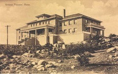 Arizona Pioneers' Homelisted 1995
 Brinkmeyer Houselisted 1978
 Burmister/Timerhoff Houselisted 1978
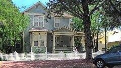 Clark Houselisted 1978
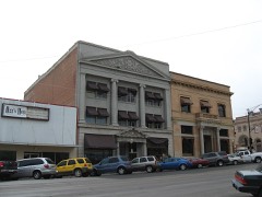 Courthouse Plaza Historic Districtlisted 1978
 Day Houselisted 1978
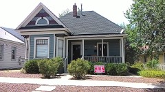 Detwiler Houselisted 1978
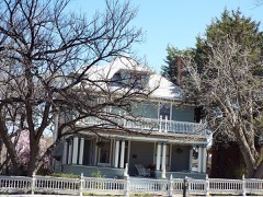 Drake Houselisted 1978
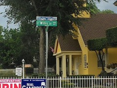 East Prescott Historic Districtlisted 1989
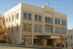 Elks Building and Theaterlisted 1978
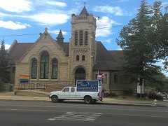 First Congregational Church and Parsonagelisted 1978
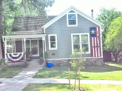 Fleury's Addition Historic Districtlisted 2019
Every listing in Yavapai County
Surveyed buildings and structures 5 records
- Old Capitol, West Gurley Street, Prescottfederal building survey, 5 photographs
- Prescott Armory Historic District, An L-shaped complex that is bounded by Gurley Street to the south, Willis Street and Sheldon Street to the north, Washington Avenue and Arizona Avenue to the west, and Rush Street to the east., Prescottfederal building survey, 1 photograph
- Prescott National Cemetery, 500 Highway 89 North, Prescottfederal building survey, 14 photographs
- Prescott Water Works Pump House, Del Rio Springs, Prescottfederal building survey, 1 photograph
- S. C. Miller House, Miller's Valley, Prescottfederal building survey, 2 photographs
Population over time
2 figuresPrescott grew from 39,843 to 45,827 between 2010 and 2020. These are the recorded population figures Wikidata holds for this place, reached through the Geographic Names Information System number this page is keyed on rather than by name, so they belong to this place and not to another of the same name. Most are census counts, but not all are: an early figure may be a founding or settlement estimate, and an estimate published within five years of a census is left out. The change column is computed, and is left blank where more than 20 years separate a figure from the one before it, because a gap that long is not a change between two counts.
| Year | People | Change |
|---|---|---|
| 2010 | 39,843 | |
| 2020 | 45,827 | +5,984 (+15%) |
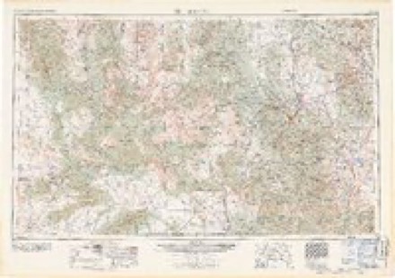
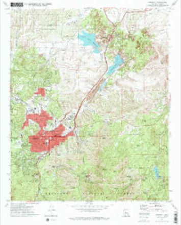
Topographic sheets covering this place
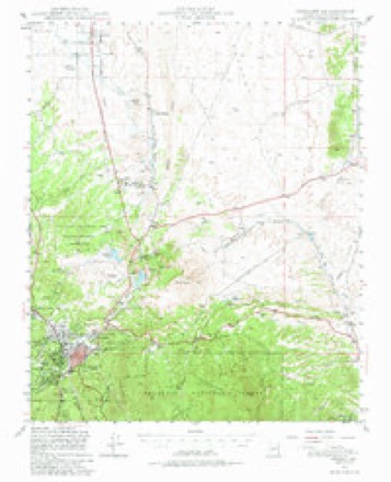
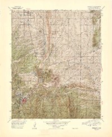
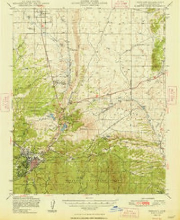
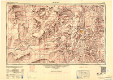
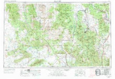
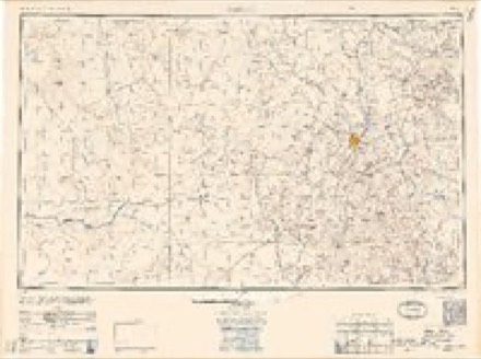
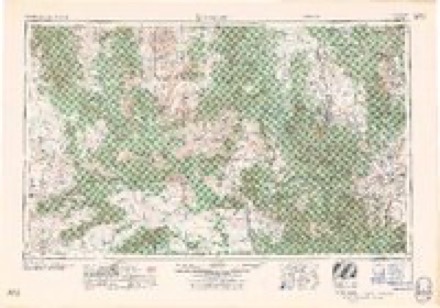
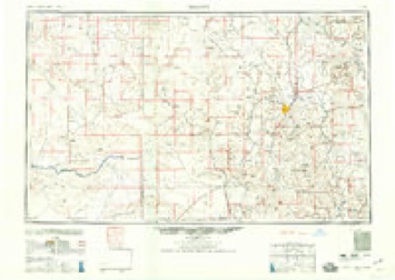
14 surveys from 30 printed sheetsMatched by testing this settlement's coordinate against the published boundary of every sheet in the United States Geological Survey's historical collection. Each opens the scanned sheet at the Survey.
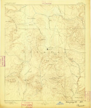
- 1887 USGS Prescott quadrangle1:250000
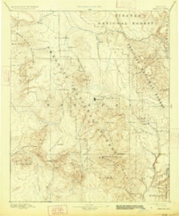
- 1892 USGS Prescott quadrangle1:250000, 5 printings
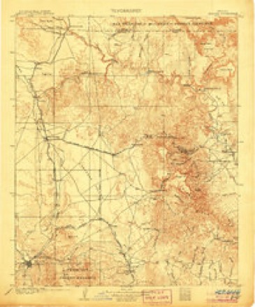
- 1905 USGS Jerome quadrangle1:125000, 2 printings
- 1947 USGS Prescott quadrangle1:62500, 3 printings
- 1948 USGS Prescott quadrangle1:63360, 2 printings
- 1948 USGS Prescott quadrangle1:62500, 2 printings
- 1950 USGS Prescott quadrangle1:250000
- 1954 USGS Prescott quadrangle1:250000, 4 printings
- 1958 USGS Prescott quadrangle1:250000
- 1959 USGS Prescott quadrangle1:250000, 2 printings
- 1960 USGS Prescott quadrangle1:250000, 2 printings
- 1965 USGS Prescott quadrangle1:250000
- 1973 USGS Prescott quadrangle1:24000, 2 printings
- 1981 USGS Prescott quadrangle1:100000, 2 printings
Photographs
6 photographs, 2018Taken for the Office of War Information and the Farm Security Administration, who photographed the country between 1935 and 1944. Works of United States government photographers, with no known restriction on use. Each opens its catalogue record.
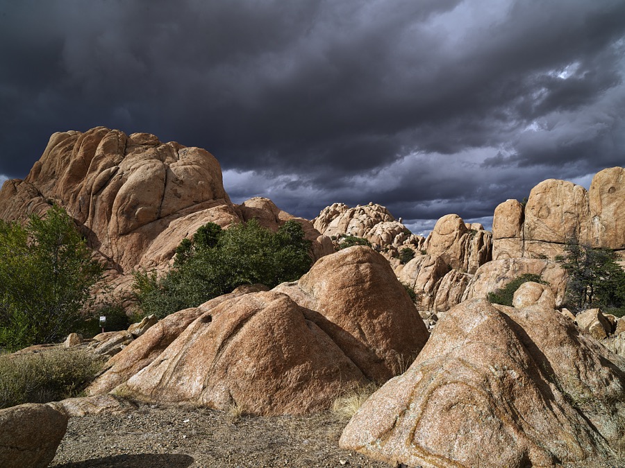
Highsmith, Carol M, 2018. Library of Congress
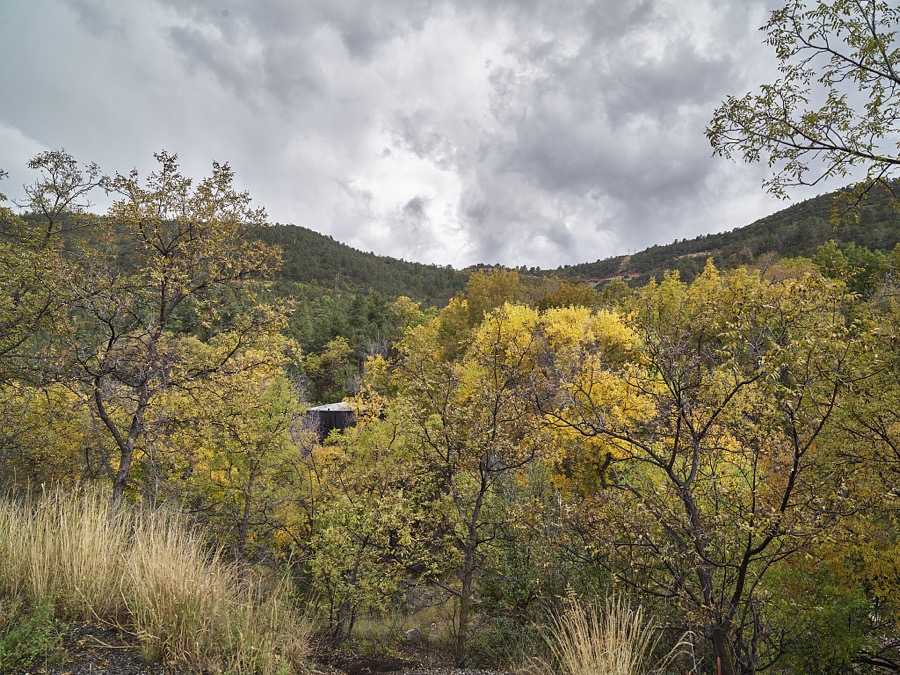
Highsmith, Carol M, 2018. Library of Congress
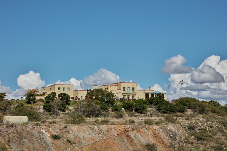
Highsmith, Carol M, 2018. Library of Congress
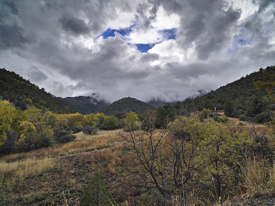
Highsmith, Carol M, 2018. Library of Congress
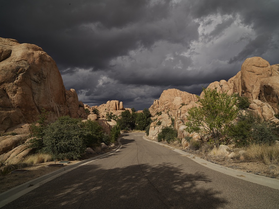
Highsmith, Carol M, 2018. Library of Congress
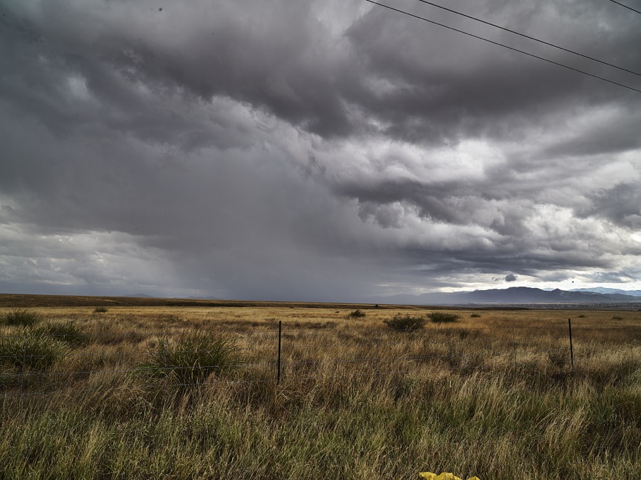
Highsmith, Carol M, 2018. Library of Congress
Fires near this place
433 since 1992Regional context, not property-specific evidence. The federal wildfire occurrence database lists 433 fires within 5 miles of Prescott between 1992 and 2020, burning about 1,567 acres in total. 89 started naturally. 25 were recorded as arson. Distance is straight-line from the map coordinates, so a fire counted here may appear on a neighbouring settlement's page as well.
| Reported cause | Fires |
|---|---|
| Missing data/not specified/undetermined | 176 |
| Recreation and ceremony | 96 |
| Natural | 89 |
| Arson/incendiarism | 25 |
| Smoking | 16 |
| Equipment and vehicle use | 12 |
| Misuse of fire by a minor | 7 |
| Debris and open burning | 6 |
| Power generation/transmission/distribution | 3 |
| Other causes | 1 |
| Fireworks | 1 |
| Railroad operations and maintenance | 1 |
The most recent of them, most recent first, with the day each was reported and the service that recorded it.
| Date | Cause | Size | Reported by | Name on the report |
|---|---|---|---|---|
| 6 September 2009 | Natural | under an acre | Prescott National Forest | APPLE |
| 5 September 2005 | Recreation and ceremony | under an acre | Prescott National Forest | MORGAN |
| 4 September 1995 | Recreation and ceremony | under an acre | Prescott National Forest | CARNATION |
| 30 September 2003 | Missing data/not specified/undetermined | under an acre | Prescott National Forest | SENATOR |
| 30 September 2001 | Recreation and ceremony | under an acre | Prescott National Forest | WILLOW SPRINGS |
| 30 September 1999 | Recreation and ceremony | under an acre | Prescott National Forest | HIGHLAND |
| 3 September 2001 | Recreation and ceremony | under an acre | Prescott National Forest | SLASH |
| 28 September 2020 | Missing data/not specified/undetermined | under an acre | Arizona Department of Forestry and Fire Management - State Office | not named |
Settlements close enough to share some of these fires:
Mines and quarries near this place
10 of 31 shownRegional context, not property-specific evidence. The federal mineral resources record lists 31 workings within 5 miles of Prescott: 12 past producers, 7 producers, 6 prospects, 6 unknowns. 7 still produce. What was taken out: Sand and Gravel, Construction, Gold, Silver, Copper. Distance is straight-line from the map coordinates, so a quarry counted here may appear on a neighbouring settlement's page as well.
| Where | Site | Commodity | Status | Recorded |
|---|---|---|---|---|
| Bullwhacker Prospect | Gold, Silver, Copper | Producer | 1878, 1879, 1936 | |
| Convergens | Copper, Gold, Molybdenum, Silver | Past Producer | ||
| Double L Lode | Gold, Silver | Prospect | ||
| Groom Creek Property | Lead, Gold, Silver, Copper | Prospect | ||
| Hoot Owl Claim | Silver, Gold, Lead | Prospect | ||
| Linden Property | Silver, Gold, Copper, Lead | Prospect | ||
| New Strike 1-7 M S 4593 | Silver, Zinc, Gold, Lead, Copper | Past Producer | ||
| New Strike Mine | Lead, Zinc, Copper, Silver, Gold | Producer | 1936, 1967 | |
| Patented Claims M S 1309, 3736, | Gold, Lead, Silver, Copper | Past Producer | ||
| Silver Flake Mine | Gold, Lead, Zinc, Silver, Uranium, Vanadium, Copper, Cobalt | Producer | 1885, 1895, 1954 |
Storms near this place
60 of 66 shownRegional context, not property-specific evidence. The National Weather Service names Prescott in 66 storm reports between 1993 and 2023: 33 hail, 8 thunderstorm wind, 8 flash flood, 5 lightning. The reports record 3 injuries. Each account below is quoted exactly as the forecast office filed it, from the NOAA Storm Events Database, and each date opens the federal record of that event.
| When | Event | Place named | Harm | What the report says |
|---|---|---|---|---|
| September 1999 | Hail | Prescott | 2 hurt, $18,000,000 | no account filed |
| August 2004 | Thunderstorm Wind | Prescott | 1 hurt | A micro burst pushed over a crane and it collapsed an under-construction riding arena. All the steal beams in-place for the arena fell down. The 67-year-old crane operator suffered head, back, and shoulder injuries. He was taken to a hospital for treatment. |
| September 2019 | Thunderstorm Wind | Prescott | $50,000 | A thunderstorm caused lots of wind damage (mostly downed tree branches) and 0.75 to 1.10 inches of rain in the Prescott and Dewey areas. |
| September 2003 | Lightning | Prescott | $10,000 | Lightning struck a radio station in Sedona and caused $10,000 damage to electrical equipment. |
| August 2003 | Lightning | Prescott | $10,000 | Lightning hit a radio station and caused $10,000 damage to electrical equipment. |
| August 2003 | Lightning | Prescott | $5,000 | Lightning hit an apartment building and started a fire. The fire caused $5,000 damage. Street flooding hampered firefighting efforts. |
| August 1998 | Tornado (F0) | Prescott | $4,000 | A house under construction was destroyed by an F0 tornado. A neighbour to the house under construction reported he saw a narrow, rotating cloud that extended from the ground to the base of a thunderstorm. This rotating cloud moved from about 300 yards away from the house under construction into the house under construction. The walls of the house were removed from the foundation and reduced to 2 x 4 inch stock and 4 by 8 feet sheets of plywood. This material was suspended in air about 30 seconds. |
| August 1997 | Thunderstorm Wind | Prescott | $2,000 | Strong thunderstorm winds knocked down several telephone poles. |
| July 2023 | Hail | Prescott | - | A spotter relayed a picture that showed a mixture of dime, nickel, and quarter sized hail. |
| July 2021 | Flash Flood | Prescott | - | The river gauge on Granite Creek rose 2.5 feet above base flow. |
| August 2020 | Flash Flood | Prescott | - | Heavy rain from a thunderstorm caused Granite Creek to rise 2.9 feet in an hour at the Granite Creek Gauge (GCRA3). |
| June 2015 | Heavy Rain | Prescott | - | A train spotter reported 2.50 inches of rain in just 45 minutes just west of Prescott Valley. Seven homes had minor flooding. |
| July 2014 | Heavy Rain | Prescott | - | The Coop observer in Prescott reported 1.63 inches in about 90 minutes. Local street flooding was also observed. |
| July 2006 | Hail | Prescott | - | Nickel sized hail was reported about 10 miles south of Prescott. |
| September 2006 | Heavy Rain | Prescott | - | Heavy rain fell over a large portion of Yavapai County from Prescott to Ash Fork. A spotter in Chino Valley reported about an inch of rain in just fifteen minutes with a total of over three inches of rain. Lowland flooding was observed near Paulden. Water was running over Highway 89 and was closed in several locations between mile posts 324 and 331. |
| September 2006 | Hail | Prescott | - | Penny to Nickel sized hail fell from Prescott to one mile west of Prescott. |
| September 2006 | Hail | Prescott | - | Penny sized hail was reported in Highland Pines...about 12 miles southwest of Prescott. |
| July 2006 | Funnel Cloud | Prescott | - | A funnel cloud was seen eight to ten miles south of Prescott. |
| August 2004 | Lightning | Prescott | - | Lightning knocked out power to 4,000 customers in the Prescott area. |
| September 2003 | Hail | Prescott | - | Pea to penny sized (1/4 to 3/4 inch diameter) hail was reported in Highland Pines west of Prescott. |
| September 2003 | Hail | Prescott | - | Dime sized (3/4 inch diameter) hail was reported in Prescott. |
| August 2003 | Hail | Prescott | - | 3/4 inch diameter hail was reported 10 miles northeast of Prescott. |
| August 2003 | Hail | Prescott | - | 3/4 inch diameter hail was reported in Prescott. |
| August 2003 | Flash Flood | Prescott | - | Creeks were flowing over Thumb Butte Road. |
| August 2003 | Flash Flood | Prescott | - | Vehicles were stranded on Cherry Road in Prescott due to water across the road. Yuma Drive was also flooded. |
| July 2003 | Thunderstorm Wind | Prescott | - | A thunderstorm in northeast Prescott produced a wind gust of 61 MPH. This storm also produced two inches of rain and pea sized hail. |
| July 2003 | Flash Flood | Prescott | - | Heavy rain caused flooding in the Prescott area. Several low water crossings were impassable. Willow Creek was flooding. A spotter in Chino Valley reported 0.60 inches of rain in just 15 minutes. |
| July 2002 | Hail | Prescott | - | One inch hail was reported in Prescott. |
| July 2001 | Hail | Prescott | - | Three-quarter inch hail covered the ground to one half inch deep in Prescott Valley. |
| June 2000 | Funnel Cloud | Prescott | - | A weather spotter in Prescott reported a funnel cloud 10 to 15 miles southwest of Prescott. |
| July 2000 | Hail | Prescott | - | A weather spotter reported 3/4 inch hail and heavy rain on the south end of Prescott. |
| July 2000 | Hail | Prescott | - | Yavapai County Sheriff reported one inch hail in Prescott. |
| July 2000 | Hail | Prescott | - | Public report of nickel sized hail. |
| July 2000 | Flash Flood | Prescott | - | Public report of street flooding in Prescott and Granite Creek nearly out of it's banks. |
| July 2000 | Hail | Prescott | - | Sheriff's office reported quarter sized hail. |
| September 1999 | Tornado (F0) | Prescott | - | Law enforcement officials reported a tornado touching down briefly west of the Prescott Country Club. |
| August 1998 | Lightning | Prescott | - | An isolated thunderstorm dropped heavy rain over downtown Prescott. Doppler radar estimates of 2 to 3 inches of rain fall in two hours caused widespread street flooding. Water rose just above curb level and seeped into a few downtown businesses. Lightning struck two homes, causing minor damage to one. |
| August 1998 | Hail | Prescott | - | A weather spooter reported 1.25 inch diameter hail. |
| August 1997 | Flash Flood | Prescott | - | Minor flooding at the Castle Canyon Mesa area in Prescott Valley. |
| May 1995 | Hail | Prescott | - | Several reports of hail up to three-quarters inches. A spotter reported hail up to one-half inch in diameter covering the ground. |
| May 1995 | Hail | Prescott | - | Several reports of hail up to three-quarters inches. A spotter reported hail up to one-half inch in diameter covering the ground. |
| September 1995 | Hail | Prescott | - | Dime-size hail covered the ground 1.5 inches deep and was accompanied by heavy rain. |
| June 1994 | Hail | Prescott | - | Large limbs were snapped off trees during a thunderstorm. |
| June 1994 | Hail | Prescott | - | Large limbs were snapped off trees during a thunderstorm. |
| August 1993 | Thunderstorm Wind | Prescott | - | Thunderstorms produced heavy rains and small hail. An observer in Prescott reported a peak gust of 68 mph. |
| May 2002 | Wildfire | Prescott | - | no account filed |
| July 2002 | Heavy Rain | Prescott | - | no account filed |
| July 2002 | Thunderstorm Wind | Prescott | - | no account filed |
| August 2001 | Heavy Rain | Prescott | - | no account filed |
| August 2001 | Hail | Prescott | - | no account filed |
| August 2001 | Hail | Prescott | - | no account filed |
| August 2001 | Thunderstorm Wind | Prescott | - | no account filed |
| August 2001 | Hail | Prescott | - | no account filed |
| September 1999 | Hail | Prescott | - | no account filed |
| September 1999 | Hail | Prescott | - | no account filed |
| September 1999 | Hail | Prescott | - | no account filed |
| September 1999 | Hail | Prescott | - | no account filed |
| September 1999 | Funnel Cloud | Prescott | - | no account filed |
| September 1999 | Hail | Prescott | - | no account filed |
| August 1998 | Flood | Prescott | - | no account filed |
Newspapers printed here
15,389 digitised pages8 papers published in this town, digitised by the Library of Congress and free to read: 2,864 issues, 15,389 pages. Every page is searchable, so a name or a street can be looked for directly in what the town printed about itself at the time.
| Newspaper | Published |
|---|---|
| The Weekly Arizona Miner | 1877 to 1885 |
| Arizona Weekly Miner | 1874 to 1877 |
| Weekly Arizona Journal-Miner | 1903 to 1908 |
| Weekly Journal-Miner | 1908 to 1929 |
| The Weekly Arizona Miner | 1868 to 1873 |
| Arizona Weekly Journal-Miner | 1885 to 1903 |
| Hoof and Horn | 1884 to 1889 |
| The Pick and Drill | 1897 to 1899 |
What the paper printed
87,213 wordsFront pages of the local paper, read from the Library of Congress scans: 32 issues spread across its run from 1868 to 1922, 87,213 words in total. Each is reproduced on its own page, exactly as the recogniser returned it.
These pages read less well than anything else here, and the number is worth stating: about three words in four come through cleanly, against nine in ten for the building records. An 1896 broadsheet sets eight-point type in seven columns on microfilm, which is the hardest thing in this archive to read by machine. We tested our own recognisers against the Library's and they were not better, so the Library's text is what appears, with the wholly unreadable columns removed. Read it as a guide to what the paper covered, and follow the link to the scan before quoting anything.
| Issue | Paper | Length |
|---|---|---|
| 1877-06-08 | The Weekly Arizona Miner | 4,241 words |
| 1885-08-14 | The Weekly Arizona Miner | 3,774 words |
| 1874-01-30 | Arizona Weekly Miner | 3,515 words |
| 1874-03-06 | Arizona Weekly Miner | 3,075 words |
| 1874-04-10 | Arizona Weekly Miner | 715 words |
| 1874-06-05 | Arizona Weekly Miner | 4,642 words |
| 1868-08-01 | The Weekly Arizona Miner | 4,581 words |
| 1868-09-05 | The Weekly Arizona Miner | 1,264 words |
| 1868-11-14 | The Weekly Arizona Miner | 3,957 words |
| 1868-12-26 | The Weekly Arizona Miner | 828 words |
| 1903-04-15 | Weekly Arizona Journal-Miner | 1,787 words |
| 1903-06-17 | Weekly Arizona Journal-Miner | 5,912 words |
| 1903-09-02 | Weekly Arizona Journal-Miner | 5,281 words |
| 1903-11-04 | Weekly Arizona Journal-Miner | 7,635 words |
| 1908-09-23 | Weekly Arizona Journal-Miner | 589 words |
| 1908-09-30 | Weekly Journal-Miner | 45 words |
| 1908-10-21 | Weekly Journal-Miner | 1,357 words |
| 1908-11-18 | Weekly Journal-Miner | 2,382 words |
| 1922-12-27 | Weekly Journal-Miner | 3,309 words |
| 1886-02-24 | Arizona Weekly Journal-Miner | 3,938 words |
| 1886-05-05 | Arizona Weekly Journal-Miner | 732 words |
| 1886-08-04 | Arizona Weekly Journal-Miner | 3,398 words |
| 1886-10-13 | Arizona Weekly Journal-Miner | 4,063 words |
| 1903-03-04 | Arizona Weekly Journal-Miner | 6,062 words |
| 1897-02-14 | The Pick and Drill | 2,207 words |
| 1897-07-31 | The Pick and Drill | 302 words |
| 1897-08-28 | The Pick and Drill | 111 words |
| 1897-09-25 | The Pick and Drill | 458 words |
| 1899-09-02 | The Pick and Drill | 1,724 words |
| 1885-10-29 | Hoof and Horn | 1,942 words |
| 1885-11-19 | Hoof and Horn | 1,690 words |
| 1889-09-19 | Hoof and Horn | 1,697 words |
Nearest settlements
The eight closest, with where each one stands in the county. Distances are straight-line, computed from the Geographic Names Information System coordinates.
| Map | Place | Distance | Sheets |
|---|---|---|---|
| Miller Valley | 1.0 miles | 30 | |
| Juniper Heights | 1.3 miles | 30 | |
| Fort Whipple | 1.3 miles | 30 | |
| Whipple | 1.5 miles | 30 | |
| Oak Knoll Village | 2.1 miles | 30 | |
| Forbing Park | 2.3 miles | 30 | |
| Rancho Vista Estates | 2.5 miles | 27 | |
| Wildwood Estates | 3.2 miles | 27 |
Elsewhere
Matched on this settlement's Geographic Names Information System number rather than its name, so it cannot be a different place of the same name in another state.
| Wikipedia article on Prescott | An encyclopaedic summary. Its text is share-alike, so it is linked here rather than copied. |
| Wikidata item Q79931 | The structured record the population and elevation above come from. Public domain (CC0). |
Provenance
This settlement is recorded in the Geographic Names Information System as feature 33189. The sheet list is computed by point-in-boundary test against the United States Geological Survey's historical topographic inventory. Both are works of the United States government and carry no copyright under 17 U.S.C. 105.
Wildfire. Short, Karen C. 2022. Spatial wildfire occurrence data for the United States, 1992-2020 [FPA_FOD_20221014]. 6th Edition. Fort Collins, CO: Forest Service Research Data Archive. https://doi.org/10.2737/RDS-2013-0009.6 Collected with United States Government funding and usable without additional permissions or fees.
Mines and quarries. USGS Mineral Resources Data System (MRDS) https://mrdata.usgs.gov/mrds/ A work of the United States government, no copyright under 17 U.S.C. 105.
Storms. NOAA National Centers for Environmental Information, Storm Events Database https://www.ncei.noaa.gov/stormevents/ A work of the United States government, no copyright under 17 U.S.C. 105. Narratives are quoted verbatim from the National Weather Service report and are not edited or summarised.