 Block
Whipple, Arizona
30 topographic sheets cover this place, the earliest surveyed in 1887 and the latest in 1981. It stands in the Prescott census division. It lies in ZIP code area 86301. It lies near Government Canyon. The Survey maps it on the Prescott quadrangle.
On record in Whipple
Buildings and businesses the archive holds for this place. Each opens its own page, with the source record it came from.
On the National Register within a mile 3 records
The National Register names another town for these. They stand within one mile of this settlement's coordinate.
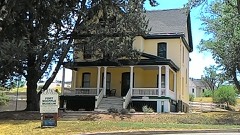 Fort Whipple-Department of Veterans Affairs Medical Center Historic Districtlisted 1999 · 0.3 miles away
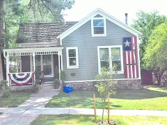 Fleury's Addition Historic Districtlisted 2019 · 0.9 miles away
- Prescott Armory Historic Districtlisted 1994 · 0.5 miles away
Topographic sheets covering this place
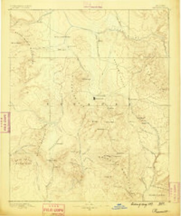
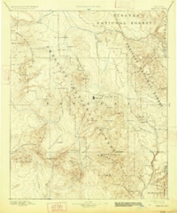
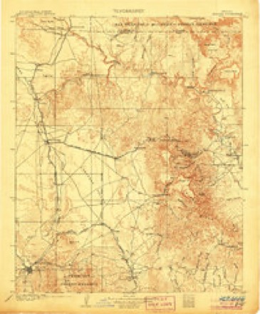
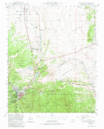
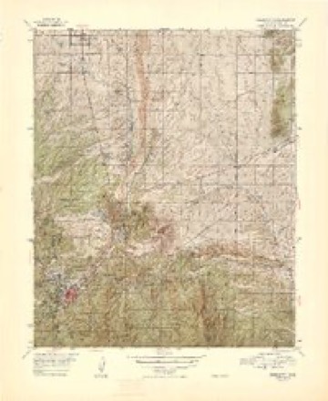
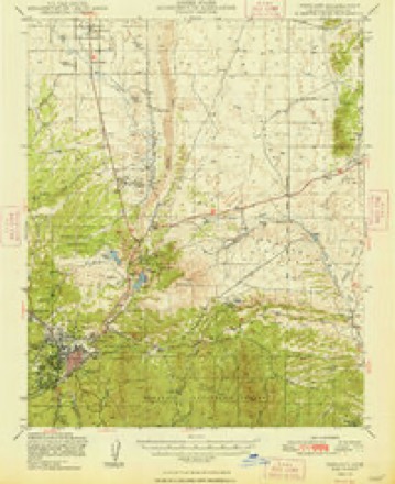
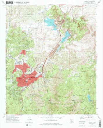
14 surveys from 30 printed sheetsMatched by testing this settlement's coordinate against the published boundary of every sheet in the United States Geological Survey's historical collection. Each opens the scanned sheet at the Survey.
- 1887 USGS Prescott quadrangle1:250000
- 1892 USGS Prescott quadrangle1:250000, 5 printings
- 1905 USGS Jerome quadrangle1:125000, 2 printings
- 1947 USGS Prescott quadrangle1:62500, 3 printings
- 1948 USGS Prescott quadrangle1:63360, 2 printings
- 1948 USGS Prescott quadrangle1:62500, 2 printings
- 1950 USGS Prescott quadrangle1:250000
- 1954 USGS Prescott quadrangle1:250000, 4 printings
- 1958 USGS Prescott quadrangle1:250000
- 1959 USGS Prescott quadrangle1:250000, 2 printings
- 1960 USGS Prescott quadrangle1:250000, 2 printings
- 1965 USGS Prescott quadrangle1:250000
- 1973 USGS Prescott quadrangle1:24000, 2 printings
- 1981 USGS Prescott quadrangle1:100000, 2 printings
Fires near this place
321 since 1992Regional context, not property-specific evidence. The federal wildfire occurrence database lists 321 fires within 5 miles of Whipple between 1992 and 2020, burning about 344 acres in total. 54 started naturally. 13 were recorded as arson. Distance is straight-line from the map coordinates, so a fire counted here may appear on a neighbouring settlement's page as well.
| Reported cause | Fires |
|---|---|
| Missing data/not specified/undetermined | 172 |
| Natural | 54 |
| Recreation and ceremony | 46 |
| Arson/incendiarism | 13 |
| Smoking | 12 |
| Equipment and vehicle use | 9 |
| Debris and open burning | 6 |
| Misuse of fire by a minor | 5 |
| Power generation/transmission/distribution | 2 |
| Fireworks | 1 |
| Railroad operations and maintenance | 1 |
The most recent of them, most recent first, with the day each was reported and the service that recorded it.
| Date | Cause | Size | Reported by | Name on the report |
|---|---|---|---|---|
| 6 September 2009 | Natural | under an acre | Prescott National Forest | APPLE |
| 30 September 2003 | Missing data/not specified/undetermined | under an acre | Prescott National Forest | SENATOR |
| 3 September 2001 | Recreation and ceremony | under an acre | Prescott National Forest | SLASH |
| 28 September 2020 | Missing data/not specified/undetermined | under an acre | Arizona Department of Forestry and Fire Management - State Office | not named |
| 28 September 2002 | Recreation and ceremony | 5.0 acres | Prescott National Forest | GOVERNMENT |
| 27 September 2020 | Missing data/not specified/undetermined | under an acre | Arizona Department of Forestry and Fire Management - State Office | not named |
| 24 September 2020 | Missing data/not specified/undetermined | under an acre | Arizona Department of Forestry and Fire Management - State Office | not named |
| 23 September 2001 | Recreation and ceremony | under an acre | Prescott National Forest | WHITE |
Settlements close enough to share some of these fires:
Mines and quarries near this place
10 of 29 shownRegional context, not property-specific evidence. The federal mineral resources record lists 29 workings within 5 miles of Whipple: 13 past producers, 7 unknowns, 6 producers, 3 prospects. 6 still produce. What was taken out: Sand and Gravel, Construction, Gold, Silver, Copper, Gold. Distance is straight-line from the map coordinates, so a quarry counted here may appear on a neighbouring settlement's page as well.
| Where | Site | Commodity | Status | Recorded |
|---|---|---|---|---|
| Bullwhacker Prospect | Gold, Silver, Copper | Producer | 1878, 1879, 1936 | |
| Convergens | Copper, Gold, Molybdenum, Silver | Past Producer | ||
| Craigs Quarries | Stone, Dimension, Volcanic Materials | Past Producer | Scoria | |
| Craigs Quarries | Pumice | Producer | ||
| Double L Lode | Gold, Silver | Prospect | ||
| Hoot Owl Claim | Silver, Gold, Lead | Prospect | ||
| New Strike 1-7 M S 4593 | Silver, Zinc, Gold, Lead, Copper | Past Producer | ||
| New Strike Mine | Lead, Zinc, Copper, Silver, Gold | Producer | 1936, 1967 | |
| Williams Mine | Gold, Copper, Molybdenum | Past Producer | Unknown | |
| Oblong Mine | Copper, Gold, Silver | Producer | 1937, 1938 |
Storms near this place
10 since 2014Regional context, not property-specific evidence. The National Weather Service names Whipple in 10 storm reports between 2014 and 2025: 6 flash flood, 2 heavy rain, 1 dust devil, 1 hail. No death or injury is recorded in these reports. Each account below is quoted exactly as the forecast office filed it, from the NOAA Storm Events Database, and each date opens the federal record of that event.
| When | Event | Place named | Harm | What the report says |
|---|---|---|---|---|
| July 2018 | Hail | Whipple | $1,500,000 | Hail damaged approximately 1000 cars in shopping centers and car dealerships. |
| June 2014 | Dust Devil | Whipple | $20,000 | A very strong dust devil went through the Pioneer Village Shopping Center near the the intersection of Highway 89 and 69 in Prescott. The strong winds blew out windows in a building, tossed free standing sheds (for sale) around, damaged cars, and threw shopping carts around. |
| August 2025 | Flash Flood | Whipple | - | A USGS stream gauge on Granite Creek (GCRA3) measured a 4.6 foot rise in 30 minutes. A CoCoRaHS observer upstream of the gauge confirmed water nearing a business parking lot in downtown Prescott. The observer measured 2.05 inches of rain. |
| September 2024 | Flash Flood | Whipple | - | The rive guage on Granite Creek in Prescott measured over a 6.5 foot rise in one hour betweeb 400 PM and 500 PM. The creek slowly dropped to near normal levels by 500 AM early the next morning. |
| August 2022 | Flash Flood | Whipple | - | The river gauge in Granite Creek at Prescott measured a rise from 7.08 feet to 9.51 feet in about 30 minutes. |
| August 2022 | Flash Flood | Whipple | - | Granite Creek rose 4.5 feet at the USGS gauge in Prescott. |
| July 2022 | Heavy Rain | Whipple | - | Trained spotters reported heavy rain in the Prescott area (1 to 2.5 inches). |
| August 2018 | Flash Flood | Whipple | - | Heavy rainfall caused Granite Creek in Prescott to rise 2.65 feet in 30 minutes. |
| August 2018 | Flash Flood | Whipple | - | A stream gauge on Granite Creek in Granite Creek showed a 4.6 foot rise with a peak flow of 2,500 CFS (normal flow is less than fifty cubic feet a second). |
| July 2017 | Heavy Rain | Whipple | - | More than an inch of rain fell in 25 minutes at the Prescott Courthouse. |
Nearest settlements
The eight closest, with where each one stands in the county. Distances are straight-line, computed from the Geographic Names Information System coordinates.
| Map | Place | Distance | Sheets |
|---|---|---|---|
| Fort Whipple | 0.2 miles | 30 | |
| Miller Valley | 1.4 miles | 30 | |
| Prescott | 1.5 miles | 30 | |
| Juniper Heights | 2.5 miles | 30 | |
| Forbing Park | 2.5 miles | 30 | |
| Oak Knoll Village | 2.9 miles | 30 | |
| Wildwood Estates | 3.3 miles | 27 | |
| Yavapai Hills | 3.5 miles | 30 |
Provenance
This settlement is recorded in the Geographic Names Information System as feature 36048. The sheet list is computed by point-in-boundary test against the United States Geological Survey's historical topographic inventory. Both are works of the United States government and carry no copyright under 17 U.S.C. 105.
Wildfire. Short, Karen C. 2022. Spatial wildfire occurrence data for the United States, 1992-2020 [FPA_FOD_20221014]. 6th Edition. Fort Collins, CO: Forest Service Research Data Archive. https://doi.org/10.2737/RDS-2013-0009.6 Collected with United States Government funding and usable without additional permissions or fees.
Mines and quarries. USGS Mineral Resources Data System (MRDS) https://mrdata.usgs.gov/mrds/ A work of the United States government, no copyright under 17 U.S.C. 105.
Storms. NOAA National Centers for Environmental Information, Storm Events Database https://www.ncei.noaa.gov/stormevents/ A work of the United States government, no copyright under 17 U.S.C. 105. Narratives are quoted verbatim from the National Weather Service report and are not edited or summarised.