 Block
Riviera, Arizona
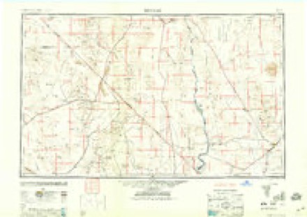
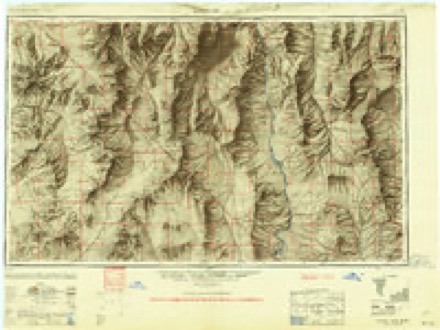
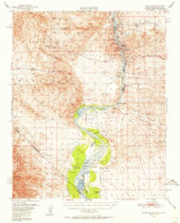
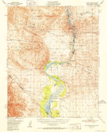
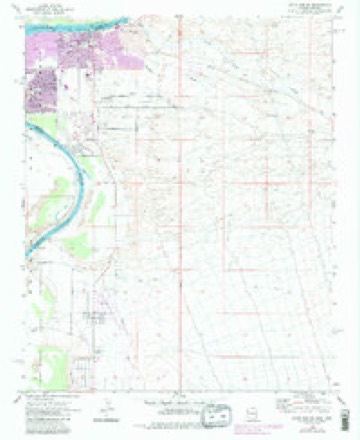
35 topographic sheets cover this place, the earliest surveyed in 1886 and the latest in 1982. It stands in the Bullhead City census division. It lies in ZIP code area 86442. The Survey maps it on the Davis Dam SE quadrangle.
Topographic sheets covering this place
14 surveys from 35 printed sheetsMatched by testing this settlement's coordinate against the published boundary of every sheet in the United States Geological Survey's historical collection. Each opens the scanned sheet at the Survey.
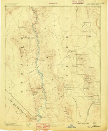
- 1886 USGS Camp Mohave quadrangle1:250000
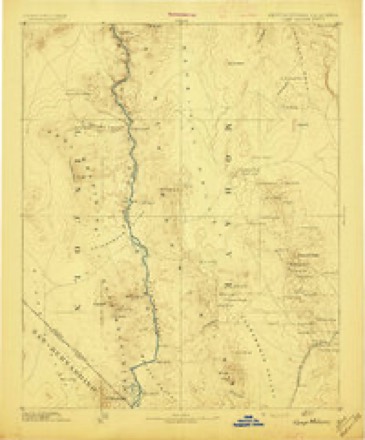
- 1892 USGS Camp Mohave quadrangle1:250000, 8 printings
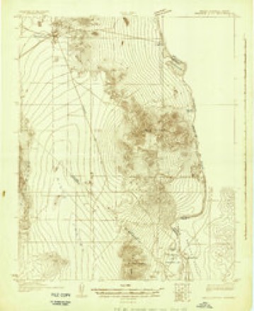
- 1926 USGS Mohave City quadrangle1:96000
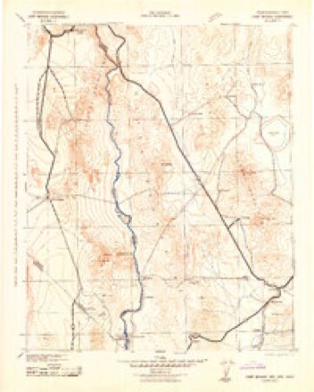
- 1942 USGS Camp Mohave quadrangle1:250000
- 1947 USGS Kingman quadrangle1:250000, 2 printings
- 1948 USGS Kingman quadrangle1:250000
- 1950 USGS Davis Dam quadrangle1:62500, 2 printings
- 1952 USGS Davis Dam quadrangle1:62500, 2 printings
- 1954 USGS Kingman quadrangle1:250000, 4 printings
- 1955 USGS Kingman quadrangle1:250000
- 1958 USGS Kingman quadrangle1:250000, 2 printings
- 1960 USGS Kingman quadrangle1:250000, 3 printings
- 1970 USGS Davis Dam SE quadrangle1:24000, 5 printings
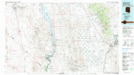
- 1982 USGS Davis Dam quadrangle1:100000, 2 printings
Fires near this place
245 since 1992Regional context, not property-specific evidence. The federal wildfire occurrence database lists 245 fires within 5 miles of Riviera between 1992 and 2020, burning about 1,099 acres in total. 4 started naturally. 5 were recorded as arson. Distance is straight-line from the map coordinates, so a fire counted here may appear on a neighbouring settlement's page as well.
| Reported cause | Fires |
|---|---|
| Missing data/not specified/undetermined | 212 |
| Equipment and vehicle use | 6 |
| Arson/incendiarism | 5 |
| Railroad operations and maintenance | 5 |
| Smoking | 4 |
| Natural | 4 |
| Debris and open burning | 3 |
| Recreation and ceremony | 2 |
| Power generation/transmission/distribution | 2 |
| Fireworks | 1 |
| Misuse of fire by a minor | 1 |
The most recent of them, most recent first, with the day each was reported and the service that recorded it.
| Date | Cause | Size | Reported by | Name on the report |
|---|---|---|---|---|
| 8 September 2020 | Missing data/not specified/undetermined | under an acre | Arizona Department of Forestry and Fire Management - State Office | not named |
| 6 September 2020 | Missing data/not specified/undetermined | under an acre | Arizona Department of Forestry and Fire Management - State Office | not named |
| 30 September 2019 | Missing data/not specified/undetermined | under an acre | Bullhead City Fire Department | NOT NAMED |
| 3 September 2018 | Missing data/not specified/undetermined | under an acre | Bullhead City Fire Department | 1807202 |
| 29 September 2020 | Missing data/not specified/undetermined | under an acre | Arizona Department of Forestry and Fire Management - State Office | not named |
| 26 September 2020 | Missing data/not specified/undetermined | 47 acres | Clark County Fire Department | CCFD 12 - AVI 2 |
| 24 September 2020 | Missing data/not specified/undetermined | under an acre | Arizona Department of Forestry and Fire Management - State Office | not named |
| 20 September 2019 | Missing data/not specified/undetermined | under an acre | Bullhead City Fire Department | NOT NAMED |
Settlements close enough to share some of these fires:
Mines and quarries near this place
6 within 5 milesRegional context, not property-specific evidence. The federal mineral resources record lists 6 workings within 5 miles of Riviera: 3 producers, 2 past producers, 1 unknown. 3 still produce. What was taken out: Sand and Gravel, Construction, Stone. Distance is straight-line from the map coordinates, so a quarry counted here may appear on a neighbouring settlement's page as well.
| Where | Site | Commodity | Status | Recorded |
|---|---|---|---|---|
| Unnamed Quarry | Stone | Past Producer | ||
| Gravel Pit | Sand and Gravel, Construction | Past Producer | ||
| Laughlin Ready Mix Pit | Sand and Gravel, Construction | Producer | ||
| Number 3 Rio Lomes | Sand and Gravel, Construction | Producer | ||
| Pit No.1 Bullhead City D | Sand and Gravel, Construction | Producer | ||
| Thompson Redi Mix Co. | Sand and Gravel, Construction | Unknown |
Storms near this place
25 since 2008Regional context, not property-specific evidence. The National Weather Service names Riviera in 25 storm reports between 2008 and 2025: 11 flash flood, 8 thunderstorm wind, 5 hail, 1 dust devil. The reports record 4 injuries. Each account below is quoted exactly as the forecast office filed it, from the NOAA Storm Events Database, and each date opens the federal record of that event.
| When | Event | Place named | Harm | What the report says |
|---|---|---|---|---|
| September 2009 | Thunderstorm Wind | Riviera | 4 hurt, $500,000 | Seven mobile home trailers were blown over. Several others suffered minor to moderate damage. |
| August 2025 | Thunderstorm Wind | Riviera | $200,000 | A microburst caused widespread damage in Bullhead City. Multiple power poles, power lines, and trees were blown down. A back patio was torn off a home and blown away. At least one garage door was blown in, and at least one roof was damaged. |
| February 2022 | Dust Devil | Riviera | $100,000 | A dust devil in Bullhead City damaged several structures and downed power lines. |
| August 2016 | Thunderstorm Wind | Riviera | $50,000 | There was substantial damage near and southwest of the airport, including a 40 foot tall tree which landed on a mobile home. |
| January 2010 | Flash Flood | Riviera | $25,000 | Rocks were washed onto Bullhead Parkway south of Adobe Road. The loose rocks contributed to a vehicle rollover. |
| July 2014 | Thunderstorm Wind | Riviera | $20,000 | Thunderstorm winds damaged the roof of a closed restaurant. |
| August 2010 | Flash Flood | Riviera | $15,000 | Flash flooding closed several intersections in Bullhead City and washed debris onto roads as well. Five people were rescued from swift water on Riverview Drive. |
| March 2023 | Thunderstorm Wind | Riviera | $10,000 | Thunderstorm winds damaged carports, trees, and roofs. |
| July 2022 | Thunderstorm Wind | Riviera | $5,000 | Thunderstorm winds damaged a storage facility. |
| December 2010 | Flash Flood | Riviera | $5,000 | Several roads were closed by flooding in the Bullhead City area. |
| September 2025 | Flash Flood | Riviera | $2,000 | Vanderslice Road was closed due to significant water and debris over the road from East River Valley Place to East View Point Road, and a man was kayaking down Arizona Avenue. |
| July 2022 | Flash Flood | Riviera | $2,000 | Several streets flooded in the Riviera and Rotary Park neighborhoods. |
| May 2025 | Flash Flood | Riviera | $1,000 | Hancock Street was flooded. |
| May 2025 | Flash Flood | Riviera | $1,000 | Camp Mohave Road was flooded. |
| May 2025 | Flash Flood | Riviera | $1,000 | There was flooding near the intersection of North Avenue and North Lane. |
| August 2017 | Thunderstorm Wind | Riviera | $1,000 | The Bullhead City airport measured a gust to 58 mph, and the public reported an estimated gust to 60 mph with dense blowing dust. Winds and debris blew out a window in a home near Mohave Valley. |
| August 2016 | Flash Flood | Riviera | $1,000 | Water, rocks, and debris were on Miracle Mile. |
| June 2016 | Flash Flood | Riviera | $1,000 | Fast flowing water covered parts of Chaparral Drive. |
| September 2022 | Thunderstorm Wind | Riviera | - | Dust storm conditions also reduced visibility to 15 feet. |
| September 2019 | Hail | Riviera | - | A video of golf ball size hail falling was posted to social media. |
| November 2008 | Flash Flood | Riviera | - | Arizona Highway 95 was flooded with seven to 10 inches of water, as well as mud and debris. Some residential side streets were also closed due to flooding. |
| May 2025 | Hail | Riviera | - | no account filed |
| October 2018 | Hail | Riviera | - | no account filed |
| October 2015 | Hail | Riviera | - | no account filed |
| August 2010 | Hail | Riviera | - | no account filed |
Nearest settlements
The eight closest, with where each one stands in the county. Distances are straight-line, computed from the Geographic Names Information System coordinates.
| Map | Place | Distance | Sheets |
|---|---|---|---|
| Hardyville (historical) | 3.9 miles | 35 | |
| Mojave City | 3.9 miles | 35 | |
| Bullhead City | 4.3 miles | 33 | |
| Davis Dam | 6.2 miles | 33 | |
| Katherine | 8.9 miles | 33 | |
| Mesquite Creek | 9.7 miles | 22 | |
| Mojave Ranch Estates | 11.0 miles | 22 | |
| Mohave Valley | 11.7 miles | 22 |
Provenance
This settlement is recorded in the Geographic Names Information System as feature 25309. The sheet list is computed by point-in-boundary test against the United States Geological Survey's historical topographic inventory. Both are works of the United States government and carry no copyright under 17 U.S.C. 105.
Wildfire. Short, Karen C. 2022. Spatial wildfire occurrence data for the United States, 1992-2020 [FPA_FOD_20221014]. 6th Edition. Fort Collins, CO: Forest Service Research Data Archive. https://doi.org/10.2737/RDS-2013-0009.6 Collected with United States Government funding and usable without additional permissions or fees.
Mines and quarries. USGS Mineral Resources Data System (MRDS) https://mrdata.usgs.gov/mrds/ A work of the United States government, no copyright under 17 U.S.C. 105.
Storms. NOAA National Centers for Environmental Information, Storm Events Database https://www.ncei.noaa.gov/stormevents/ A work of the United States government, no copyright under 17 U.S.C. 105. Narratives are quoted verbatim from the National Weather Service report and are not edited or summarised.