 Block
Bullhead City, Arizona
33 topographic sheets cover this place, the earliest surveyed in 1886 and the latest in 1982. It stands in the Bullhead City census division. It lies in ZIP code area 86429. It lies near Secret Pass Canyon. The Survey maps it on the Davis Dam quadrangle. 41,348 people lived here at the 2020 count. It stands 541 feet above sea level.
On record in Bullhead City
Buildings and businesses the archive holds for this place. Each opens its own page, with the source record it came from.
On the National Register 1 record
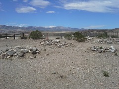 Hardyville Cemeterylisted 2001
Population over time
2 figuresBullhead City grew from 39,540 to 41,348 between 2010 and 2020. These are the recorded population figures Wikidata holds for this place, reached through the Geographic Names Information System number this page is keyed on rather than by name, so they belong to this place and not to another of the same name. Most are census counts, but not all are: an early figure may be a founding or settlement estimate, and an estimate published within five years of a census is left out. The change column is computed, and is left blank where more than 20 years separate a figure from the one before it, because a gap that long is not a change between two counts.
| Year | People | Change |
|---|---|---|
| 2010 | 39,540 | |
| 2020 | 41,348 | +1,808 (+5%) |
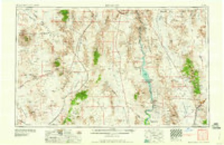
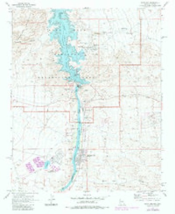
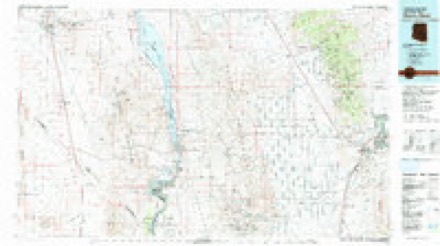
Topographic sheets covering this place
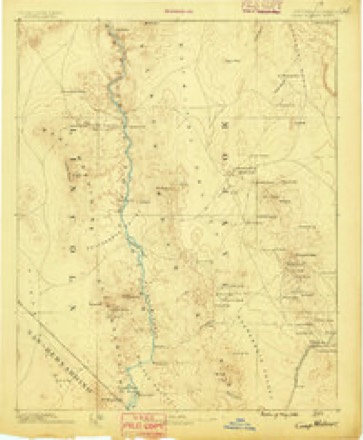
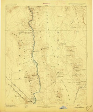
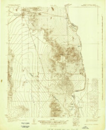
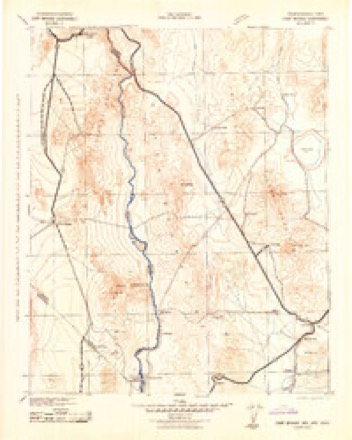
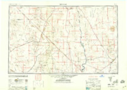
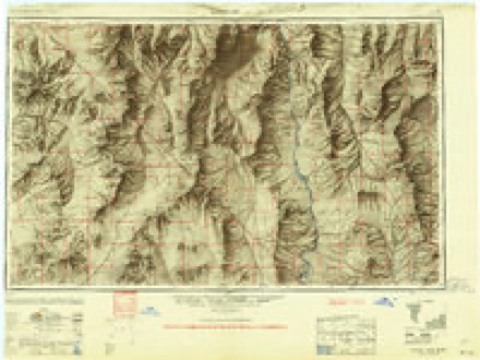
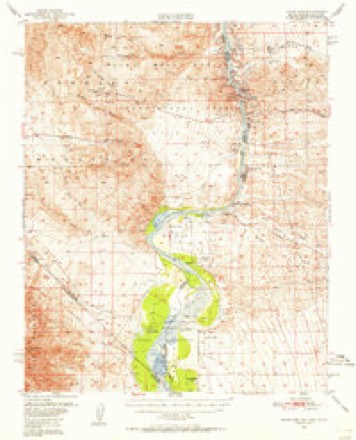
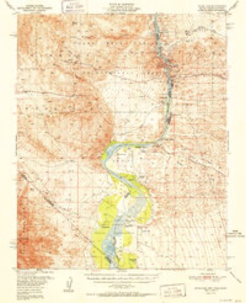
14 surveys from 33 printed sheetsMatched by testing this settlement's coordinate against the published boundary of every sheet in the United States Geological Survey's historical collection. Each opens the scanned sheet at the Survey.
- 1886 USGS Camp Mohave quadrangle1:250000
- 1892 USGS Camp Mohave quadrangle1:250000, 8 printings
- 1926 USGS Mohave City quadrangle1:96000
- 1942 USGS Camp Mohave quadrangle1:250000
- 1947 USGS Kingman quadrangle1:250000, 2 printings
- 1948 USGS Kingman quadrangle1:250000
- 1950 USGS Davis Dam quadrangle1:62500, 2 printings
- 1952 USGS Davis Dam quadrangle1:62500, 2 printings
- 1954 USGS Kingman quadrangle1:250000, 4 printings
- 1955 USGS Kingman quadrangle1:250000
- 1958 USGS Kingman quadrangle1:250000, 2 printings
- 1960 USGS Kingman quadrangle1:250000, 3 printings
- 1970 USGS Davis Dam quadrangle1:24000, 3 printings
- 1982 USGS Davis Dam quadrangle1:100000, 2 printings
Fires near this place
257 since 1992Regional context, not property-specific evidence. The federal wildfire occurrence database lists 257 fires within 5 miles of Bullhead City between 1992 and 2020, burning about 424 acres in total. 3 started naturally. 4 were recorded as arson. Distance is straight-line from the map coordinates, so a fire counted here may appear on a neighbouring settlement's page as well.
| Reported cause | Fires |
|---|---|
| Missing data/not specified/undetermined | 224 |
| Equipment and vehicle use | 6 |
| Smoking | 5 |
| Railroad operations and maintenance | 4 |
| Arson/incendiarism | 4 |
| Power generation/transmission/distribution | 3 |
| Natural | 3 |
| Fireworks | 3 |
| Debris and open burning | 2 |
| Recreation and ceremony | 2 |
| Misuse of fire by a minor | 1 |
The most recent of them, most recent first, with the day each was reported and the service that recorded it.
| Date | Cause | Size | Reported by | Name on the report |
|---|---|---|---|---|
| 8 September 2020 | Missing data/not specified/undetermined | under an acre | Arizona Department of Forestry and Fire Management - State Office | not named |
| 4 September 2020 | Missing data/not specified/undetermined | under an acre | Arizona Department of Forestry and Fire Management - State Office | not named |
| 30 September 2020 | Missing data/not specified/undetermined | under an acre | Arizona Department of Forestry and Fire Management - State Office | not named |
| 30 September 2019 | Missing data/not specified/undetermined | under an acre | Bullhead City Fire Department | NOT NAMED |
| 3 September 2018 | Missing data/not specified/undetermined | under an acre | Bullhead City Fire Department | 1807202 |
| 29 September 1995 | Fireworks | under an acre | Lake Mead National Recreation Area | M80 |
| 24 September 2020 | Missing data/not specified/undetermined | under an acre | Arizona Department of Forestry and Fire Management - State Office | not named |
| 21 September 2019 | Missing data/not specified/undetermined | under an acre | Bullhead City Fire Department | NOT NAMED |
Settlements close enough to share some of these fires:
Mines and quarries near this place
10 of 14 shownRegional context, not property-specific evidence. The federal mineral resources record lists 14 workings within 5 miles of Bullhead City: 7 past producers, 3 producers, 1 plant, 1 unknown. 4 still produce. What was taken out: Sand and Gravel, Construction, Gold, Silver, Stone. Distance is straight-line from the map coordinates, so a quarry counted here may appear on a neighbouring settlement's page as well.
| Where | Site | Commodity | Status | Recorded |
|---|---|---|---|---|
| Unnamed Quarry | Stone | Past Producer | ||
| Wiley Inspiration Mine | Silver, Gold | Occurrence | Gold, Silver | |
| Homestake Group | Gold, Silver | Past Producer | ||
| Homestake Group | Gold, Silver | Past Producer | Vein | |
| Wiley Inspiration Mine | Gold, Silver | Prospect | ||
| Treasure Trove Mine | Gold | Plant | ||
| Asphalt Material Pit and Plant | Sand and Gravel, Construction | Past Producer | ||
| Asphalt Materials Pit and Plant | Sand and Gravel, Construction | Past Producer | ||
| Gravel Pit | Sand and Gravel, Construction | Past Producer | ||
| Jack Ward Pit | Sand and Gravel, Construction | Past Producer |
Storms near this place
40 since 1993Regional context, not property-specific evidence. The National Weather Service names Bullhead City in 40 storm reports between 1993 and 2024: 25 thunderstorm wind, 7 flash flood, 4 lightning, 1 hail. No death or injury is recorded in these reports. Each account below is quoted exactly as the forecast office filed it, from the NOAA Storm Events Database, and each date opens the federal record of that event.
| When | Event | Place named | Harm | What the report says |
|---|---|---|---|---|
| September 1997 | Thunderstorm Wind | Bullhead City | $750,000 | A powerful thunderstorm unleashed a destructive wind that wreaked havoc on a small section of Bullhead City, AZ. The fierce wind snapped 24 power poles and damaged approximately 80 houses and mobile homes. Roofs were blown off or damaged, a garage was blown away and numerous awnings were ripped off and hurled through the air. 22 of the homes were condemned. |
| July 1999 | Thunderstorm Wind | Bullhead City | $500,000 | no account filed |
| July 2016 | Thunderstorm Wind | Bullhead City | $125,000 | Nine power poles were blown down in Bullhead City and Mohave Valley. Several trees were blown down in Mohave Valley, and there was minor damage to structures. |
| April 2012 | Heavy Rain | Bullhead City | $100,000 | Heavy rain caused the roof of a building in Bullhead City to collapse. The interior was damaged as well. |
| July 2012 | Lightning | Bullhead City | $50,000 | Lightning knocked out power to 4000 customers in the Bullhead City area. |
| August 1993 | Thunderstorm Wind | Bullhead City | $50,000 | High winds, small hail and heavy rains tore down signs, uprooted trees, and caused considerable damage to homes. At one residence, a board was embedded in the garage wall. |
| September 1999 | Thunderstorm Wind | Bullhead City | $25,000 | Strong thunderstorm winds swept through an area extending north from Mohave Valley to Temple Bar Marina on Lake Mead. Power was knocked out to 300 homes and business in Mohave Valley and Bullhead City due to downed power poles and several tree branches being blown into power lines. Estimated wind gusts up to 65 miles an hour occurred along Lake Mohave and some awnings were damaged at Temple Bar. |
| August 2013 | Lightning | Bullhead City | $20,000 | Lightning knocked out power to 186 customers in Bullhead City. |
| August 2010 | Thunderstorm Wind | Bullhead City | $20,000 | Thunderstorm winds blew down power lines and blew awnings off several mobile homes. |
| August 1997 | Thunderstorm Wind | Bullhead City | $15,000 | The Bullhead City Fire Department reported damaging winds resulting in broken tree branches, downed power lines, awnings torn off mobile homes and a blown down shed. |
| June 2016 | Thunderstorm Wind | Bullhead City | $10,000 | Winds gusted to 62 mph at KIFP, and trees were blown down and travel trailers flipped farther south. |
| November 2013 | Lightning | Bullhead City | $10,000 | Lightning knocked out power to 800 customers. |
| July 2012 | Lightning | Bullhead City | $10,000 | Lightning knocked out power to over 600 customers in Bullhead City. |
| July 2008 | Thunderstorm Wind | Bullhead City | $10,000 | Thunderstorm winds blew signs off several businesses, blew shingles and an awning off a house, and blew one person over (no injury) in Bullhead City. |
| March 2023 | Flash Flood | Bullhead City | $5,000 | Highway 95 was closed near 7th Street, and multiple swift water rescues were needed. |
| July 2015 | Thunderstorm Wind | Bullhead City | $5,000 | Several four foot tall trees were blown down along Bullhead Parkway. |
| August 1997 | Thunderstorm Wind | Bullhead City | $5,000 | The Mohave County Sheriff's Office reported sustained winds at an estimated 60 mph, with gusts up to 75 mph, over an area extending from the Mohave Valley to Lake Havasu City, AZ. Visibilities were reduced to zero and some homes in Lake Havasu City sustained minor damage to roofs and windows. |
| July 2004 | Thunderstorm Wind | Bullhead City | $2,000 | Five forty foot telephone poles were blown down by strong thunderstorm winds. |
| July 1998 | Thunderstorm Wind | Bullhead City | $2,000 | no account filed |
| April 2020 | Flash Flood | Bullhead City | $1,000 | AZ Highway 95 was closed near 3rd Street due to flooding. |
| July 2014 | Flash Flood | Bullhead City | $1,000 | Mud washed onto Bullhead Parkway. |
| February 2010 | Flash Flood | Bullhead City | - | Boulders were washed onto AZ Highway 95 between Silver Creek Rd. and Riverview Dr. Most side streets were also covered with water. |
| June 2006 | Thunderstorm Wind | Bullhead City | - | Also blowing dust and sand. |
| July 2006 | Thunderstorm Wind | Bullhead City | - | Also near zero visibility in blowing dust. |
| July 2006 | Thunderstorm Wind | Bullhead City | - | On Arizona Highway 68. |
| August 2005 | Flash Flood | Bullhead City | - | Several homes knocked off their foundations in Fort Mohave and Mohave Valley. |
| August 2005 | Flash Flood | Bullhead City | - | 2.5 feet of water over roads. One driver rescued. |
| July 2005 | Thunderstorm Wind | Bullhead City | - | Light poles blown down in Mohave Valley. |
| April 2001 | Funnel Cloud | Bullhead City | - | Funnel cloud was sighted by a patrol officer behind the 911 operations center. |
| April 2001 | Tornado (F1) | Bullhead City | - | A small tornado was spotted over open terrain near the three state junction over the Colorado River. This tornado began in San Bernardino County, CA at 11:35 am and moved across a small part of Clark County, NV before moving into Mohave County, AZ at 11:39 am. The tornado then dissipated at 11:50 am. |
| October 2000 | Flash Flood | Bullhead City | - | Heavy rain and thunderstorms moved through Bullhead City, AZ producing minor flooding that left rocks and debris across "Bullhead Highway". |
| July 2024 | Thunderstorm Wind | Bullhead City | - | no account filed |
| July 2022 | Thunderstorm Wind | Bullhead City | - | no account filed |
| July 2015 | Thunderstorm Wind | Bullhead City | - | no account filed |
| August 2010 | Thunderstorm Wind | Bullhead City | - | no account filed |
| July 2009 | Thunderstorm Wind | Bullhead City | - | no account filed |
| September 2006 | Thunderstorm Wind | Bullhead City | - | no account filed |
| September 2006 | Thunderstorm Wind | Bullhead City | - | no account filed |
| August 2005 | Thunderstorm Wind | Bullhead City | - | no account filed |
| September 1996 | Hail | Bullhead City | - | no account filed |
Nearest settlements
The eight closest, with where each one stands in the county. Distances are straight-line, computed from the Geographic Names Information System coordinates.
| Map | Place | Distance | Sheets |
|---|---|---|---|
| Davis Dam | 2.2 miles | 33 | |
| Riviera | 4.3 miles | 35 | |
| Katherine | 5.1 miles | 33 | |
| Hardyville (historical) | 7.6 miles | 35 | |
| Mojave City | 7.7 miles | 35 | |
| Mesquite Creek | 12.5 miles | 22 | |
| Mohave Crossing | 12.8 miles | 31 | |
| Oatman | 12.9 miles | 29 |
Elsewhere
Matched on this settlement's Geographic Names Information System number rather than its name, so it cannot be a different place of the same name in another state.
| Wikipedia article on Bullhead City | An encyclopaedic summary. Its text is share-alike, so it is linked here rather than copied. |
| Wikidata item Q79432 | The structured record the population and elevation above come from. Public domain (CC0). |
Provenance
This settlement is recorded in the Geographic Names Information System as feature 2186. The sheet list is computed by point-in-boundary test against the United States Geological Survey's historical topographic inventory. Both are works of the United States government and carry no copyright under 17 U.S.C. 105.
Wildfire. Short, Karen C. 2022. Spatial wildfire occurrence data for the United States, 1992-2020 [FPA_FOD_20221014]. 6th Edition. Fort Collins, CO: Forest Service Research Data Archive. https://doi.org/10.2737/RDS-2013-0009.6 Collected with United States Government funding and usable without additional permissions or fees.
Mines and quarries. USGS Mineral Resources Data System (MRDS) https://mrdata.usgs.gov/mrds/ A work of the United States government, no copyright under 17 U.S.C. 105.
Storms. NOAA National Centers for Environmental Information, Storm Events Database https://www.ncei.noaa.gov/stormevents/ A work of the United States government, no copyright under 17 U.S.C. 105. Narratives are quoted verbatim from the National Weather Service report and are not edited or summarised.