 Block
Supai, Arizona
21 topographic sheets cover this place, the earliest surveyed in 1886 and the latest in 1988. It stands in the Havasupai census division. It lies in ZIP code area 86435. It lies near Schoolhouse Canyon. The Survey maps it on the Supai quadrangle. It stands 3,196 feet above sea level.
Population over time
2 figuresSupai fell from 423 to 208 between 2000 and 2010. These are the recorded population figures Wikidata holds for this place, reached through the Geographic Names Information System number this page is keyed on rather than by name, so they belong to this place and not to another of the same name. Most are census counts, but not all are: an early figure may be a founding or settlement estimate, and an estimate published within five years of a census is left out. The change column is computed, and is left blank where more than 20 years separate a figure from the one before it, because a gap that long is not a change between two counts.
| Year | People | Change |
|---|---|---|
| 2000 | 423 | |
| 2010 | 208 | -215 (-51%) |
Topographic sheets covering this place
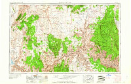
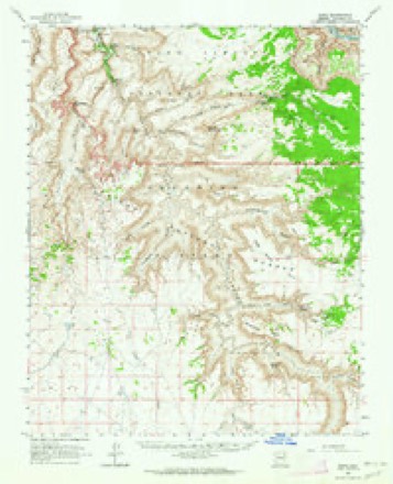
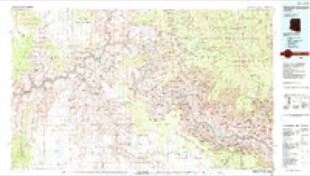
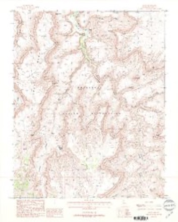
8 surveys from 21 printed sheetsMatched by testing this settlement's coordinate against the published boundary of every sheet in the United States Geological Survey's historical collection. Each opens the scanned sheet at the Survey.
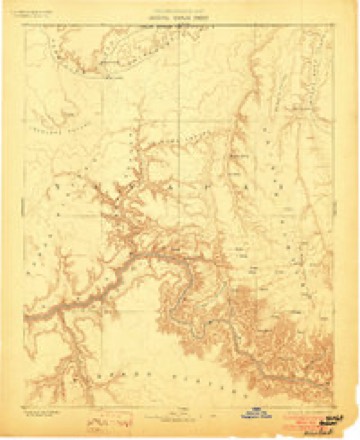
- 1886 USGS Kaibab quadrangle1:250000, 9 printings
- 1953 USGS Grand Canyon quadrangle1:250000, 3 printings
- 1957 USGS Grand Canyon quadrangle1:250000
- 1958 USGS Grand Canyon quadrangle1:250000
- 1960 USGS Grand Canyon quadrangle1:250000
- 1962 USGS Supai quadrangle1:62500, 2 printings
- 1984 USGS Grand Canyon quadrangle1:100000, 2 printings
- 1988 USGS Supai quadrangle1:24000, 2 printings
Fires near this place
10 since 1995Regional context, not property-specific evidence. The federal wildfire occurrence database lists 10 fires within 5 miles of Supai between 1995 and 2014, burning about 275 acres in total. 2 started naturally. None was recorded as arson. Distance is straight-line from the map coordinates, so a fire counted here may appear on a neighbouring settlement's page as well.
| Reported cause | Fires |
|---|---|
| Misuse of fire by a minor | 3 |
| Recreation and ceremony | 3 |
| Debris and open burning | 2 |
| Natural | 2 |
The most recent of them, most recent first, with the day each was reported and the service that recorded it.
| Date | Cause | Size | Reported by | Name on the report |
|---|---|---|---|---|
| 24 August 2011 | Debris and open burning | 20 acres | Truxton Canyon Agency | NAVAJO |
| 4 June 2009 | Recreation and ceremony | under an acre | Truxton Canyon Agency | FALLS |
| 22 June 2001 | Natural | 250 acres | Grand Canyon National Park | YUMTHESKA |
| 7 May 2010 | Misuse of fire by a minor | under an acre | Truxton Canyon Agency | LODGE |
| 5 May 2009 | Misuse of fire by a minor | under an acre | Truxton Canyon Agency | DEADHORSE |
| 22 May 1995 | Natural | under an acre | Grand Canyon National Park | TOWAGO |
| 10 May 2013 | Recreation and ceremony | 1.0 acres | Truxton Canyon Agency | COTTONWOOD |
| 22 April 2009 | Debris and open burning | under an acre | Truxton Canyon Agency | SUPAI |
Mines and quarries near this place
4 within 5 milesRegional context, not property-specific evidence. The federal mineral resources record lists 4 workings within 5 miles of Supai: 2 occurrences, 2 past producers. None of them still produces. What was taken out: Uranium, Vanadium, Lead, Zinc, Copper, Lead, Zinc, Vanadium, Silver. Distance is straight-line from the map coordinates, so a quarry counted here may appear on a neighbouring settlement's page as well.
| Where | Site | Commodity | Status | Recorded |
|---|---|---|---|---|
| Bridal Veil Claim | Vanadium, Lead, Zinc, Copper | Occurrence | ||
| Bridal Veil Mines | Lead, Zinc, Vanadium, Silver | Past Producer | ||
| Carbonate Canyon Calcite | Lead, Semiprecious Gemstone | Past Producer | ||
| Uranium Deposit- M003671 | Uranium | Occurrence |
Storms near this place
14 since 1997Regional context, not property-specific evidence. The National Weather Service names Supai in 14 storm reports between 1997 and 2018: 10 flash flood, 3 flood, 1 hail. The reports record 3 deaths. Each account below is quoted exactly as the forecast office filed it, from the NOAA Storm Events Database, and each date opens the federal record of that event.
| When | Event | Place named | Harm | What the report says |
|---|---|---|---|---|
| August 2001 | Flash Flood | Supai | 3 killed | A two year old boy and his parents were killed in a flash flood while hiking in Havasu Canyon. Two other family members had reached the the safety of Havasupai Village before the late night storm hit. |
| August 1997 | Flash Flood | Supai | $300,000 | Heavy rain from training thunderstorms caused a flash flood along Cataract Creek in the village of Supai, capital of the Havasupai Tribe. Power, water and sewage were washed out. Many homes and structures flooded. About 400 campers and residents were evacuated by helicopter. Red cross, BIA, National Guard, the Arizona DPS, a contract helicopter firm, and local law enforcement participated in the evacuation. |
| August 1997 | Flash Flood | Supai | $5,000 | A large white water raft was washed away during minor flooding along Havasu Creek and the Colorado River in Grand Canyon National Park. No people were in the raft and it was recovered, but damaged, several days later. |
| August 2018 | Hail | Supai | - | Pea sized hail started at 350 PM MST and then progressed in size to quarter sized (1 inch diameter) y 355 PM MST. |
| July 2006 | Flash Flood | Supai | - | Flooding in and around the Supai Village. The river through the canyon grew to between 50 and 75 feet wide. None of the bridges around the village were usable. |
| September 2004 | Flash Flood | Supai | - | Flash flooding washed out a bridge and came within one foot of covering another bridge in Supai Village. People were evacuated from Supai Canyon. |
| August 2003 | Flash Flood | Supai | - | A five foot wall of water came down Havasu Creek near the town of Supai. Hikers were able to escape to higher ground and the Supai Trail was closed for four hours. |
| August 2003 | Flash Flood | Supai | - | Supai Police Department reported that the water in normally dry Hualapai Canyon was four feet deep. |
| October 2000 | Flash Flood | Supai | - | Heavy rain during the day caused the water in Supai Creek to overflow its banks. By 430 PM, the water flowed around two bridges making them unusable. The rising water stranded 10 to 15 hikers and 20 pack animals. Parts of the campgrounds were closed after the creek rose more than three feet. The town of Supai was unaccessable until the water went down after 800 PM. |
| July 1999 | Flash Flood | Supai | - | Members of the Supai Police Dept. reported Cataract Creek rose 6 feet, overtopping several bridges and forcing the evacuation of the Supai campground. |
| July 1999 | Flash Flood | Supai | - | Heavy rains produced flash flooding of Cataract Creek in the Supai village. Campgrounds in the drainage were evacuated before the flood waters hit. |
| September 1998 | Flood | Supai | - | Heavy rains caused the normally dry Supai Creek to rise and flood the Supai Creek campground. |
| July 1998 | Flood | Supai | - | A preliminary evacuation of the Supai Campground occurred due to rises in Supai Creek and its tributary Cataract Creek. |
| July 2002 | Flood | Supai | - | no account filed |
Newspapers printed here
208 digitised pages1 paper published in this town, digitised by the Library of Congress and free to read: 88 issues, 208 pages. Every page is searchable, so a name or a street can be looked for directly in what the town printed about itself at the time.
| Newspaper | Published |
|---|---|
| The Supai Weekly News | 195? to 1958 |
Nearest settlements
The eight closest, with where each one stands in the county. Distances are straight-line, computed from the Geographic Names Information System coordinates.
| Map | Place | Distance | Sheets |
|---|---|---|---|
| Big Springs | 30.9 miles | 22 | |
| Coconino | 30.9 miles | 19 | |
| Grand Canyon | 31.7 miles | 39 | |
| North Rim | 33.3 miles | 39 | |
| Apex | 33.5 miles | 19 | |
| Tusayan | 34.9 miles | 19 | |
| Woodin | 35.3 miles | 18 | |
| Rose Well Camp | 35.5 miles | 18 |
Elsewhere
Matched on this settlement's Geographic Names Information System number rather than its name, so it cannot be a different place of the same name in another state.
| Wikipedia article on Supai | An encyclopaedic summary. Its text is share-alike, so it is linked here rather than copied. |
| Wikidata item Q3476581 | The structured record the population and elevation above come from. Public domain (CC0). |
Provenance
This settlement is recorded in the Geographic Names Information System as feature 12003. The sheet list is computed by point-in-boundary test against the United States Geological Survey's historical topographic inventory. Both are works of the United States government and carry no copyright under 17 U.S.C. 105.
Wildfire. Short, Karen C. 2022. Spatial wildfire occurrence data for the United States, 1992-2020 [FPA_FOD_20221014]. 6th Edition. Fort Collins, CO: Forest Service Research Data Archive. https://doi.org/10.2737/RDS-2013-0009.6 Collected with United States Government funding and usable without additional permissions or fees.
Mines and quarries. USGS Mineral Resources Data System (MRDS) https://mrdata.usgs.gov/mrds/ A work of the United States government, no copyright under 17 U.S.C. 105.
Storms. NOAA National Centers for Environmental Information, Storm Events Database https://www.ncei.noaa.gov/stormevents/ A work of the United States government, no copyright under 17 U.S.C. 105. Narratives are quoted verbatim from the National Weather Service report and are not edited or summarised.