Block
From the record
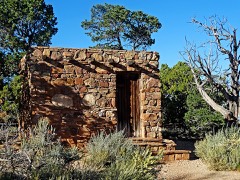
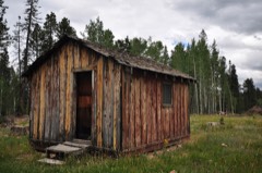
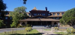
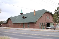
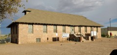
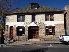
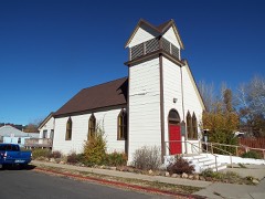
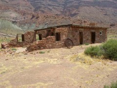
140 National Register listings published here, 10 of them National Historic Landmarks.
Sources: the National Register database, National Park Service
410 topographic sheets and 12 fire insurance atlases across 2 places.
140 National Register listings published here, 10 of them National Historic Landmarks.
Sources: the National Register database, National Park Service
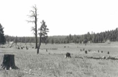
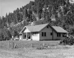
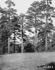
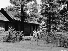
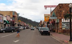
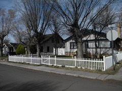
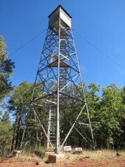
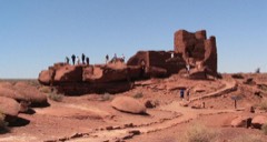
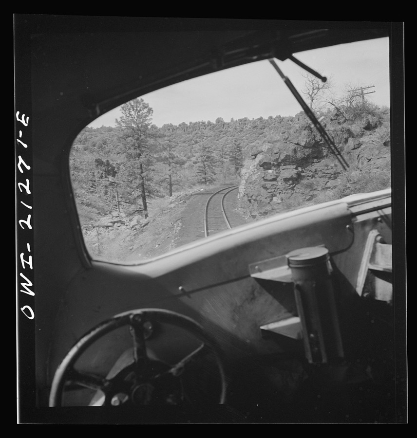
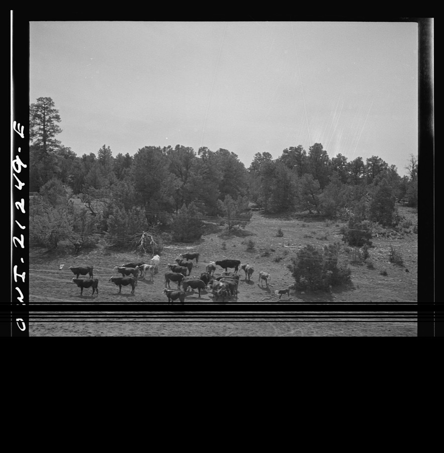
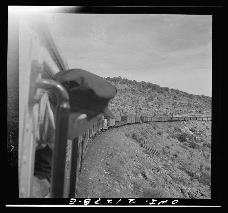
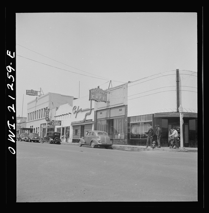
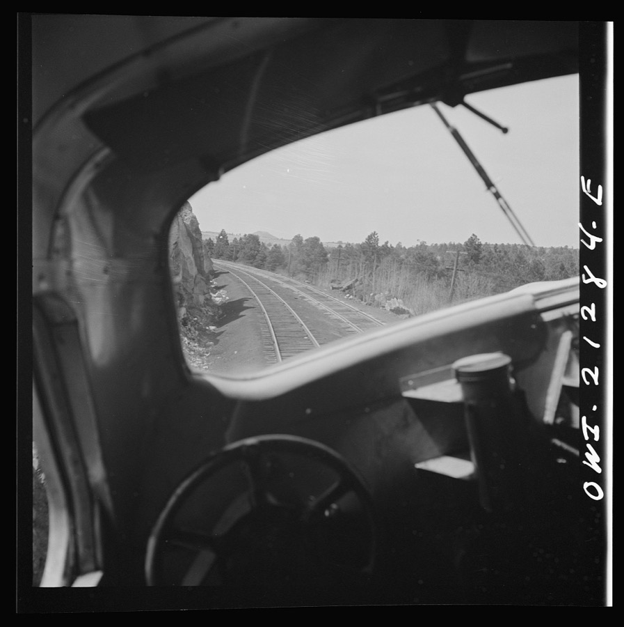
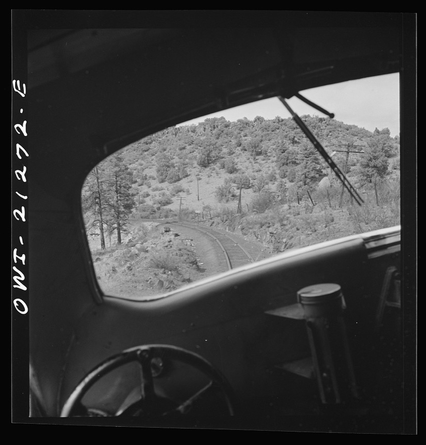
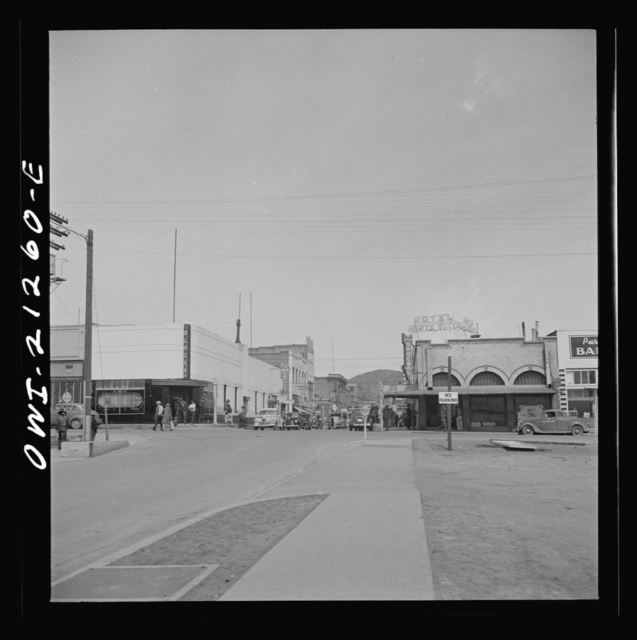
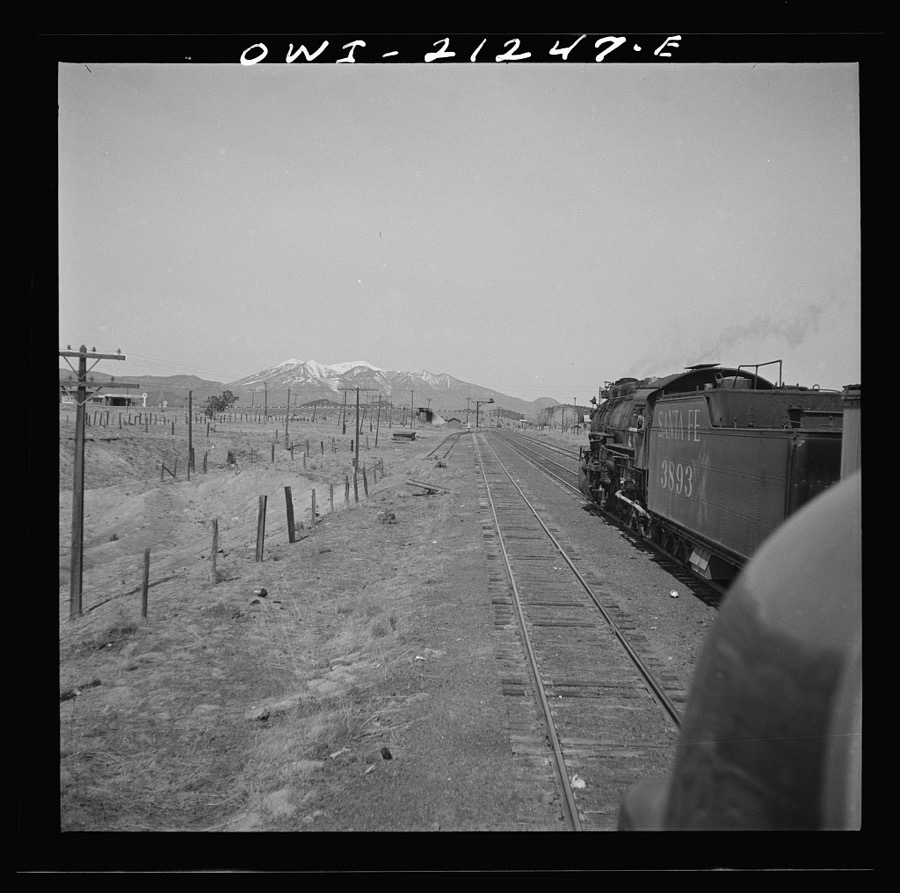
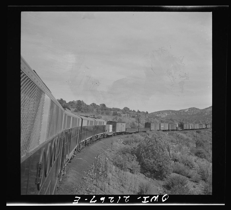
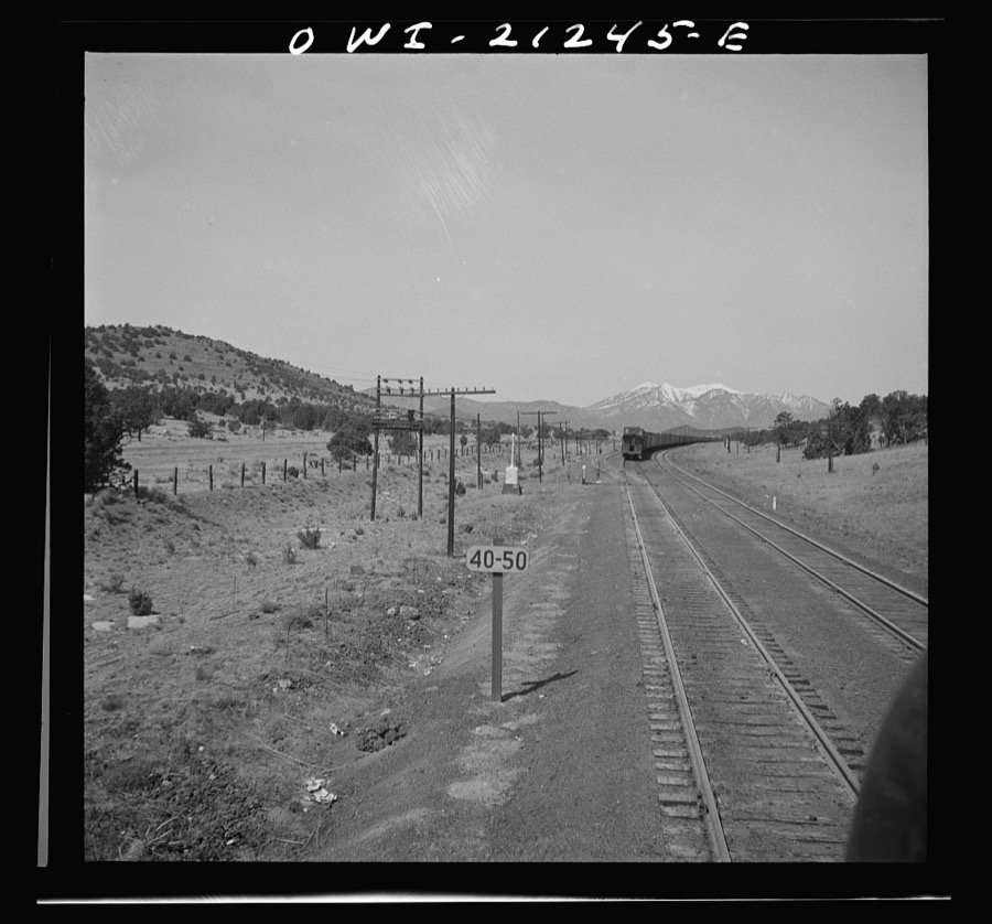
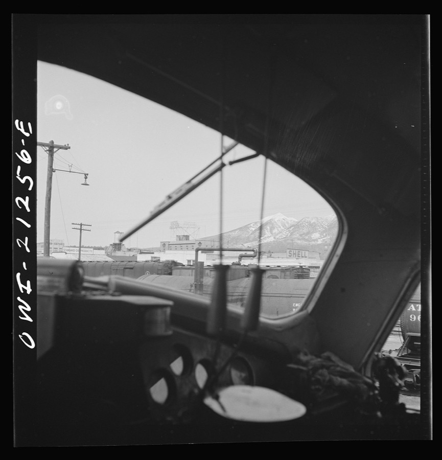
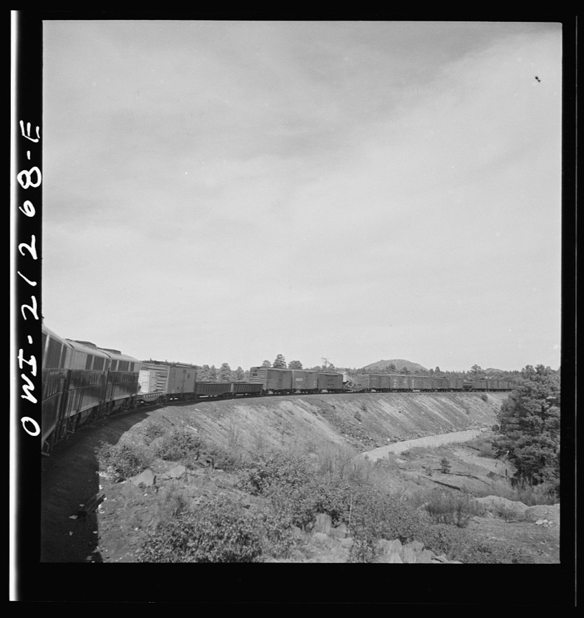
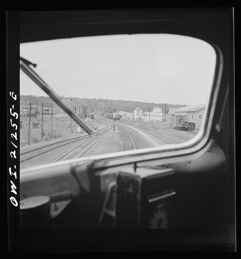
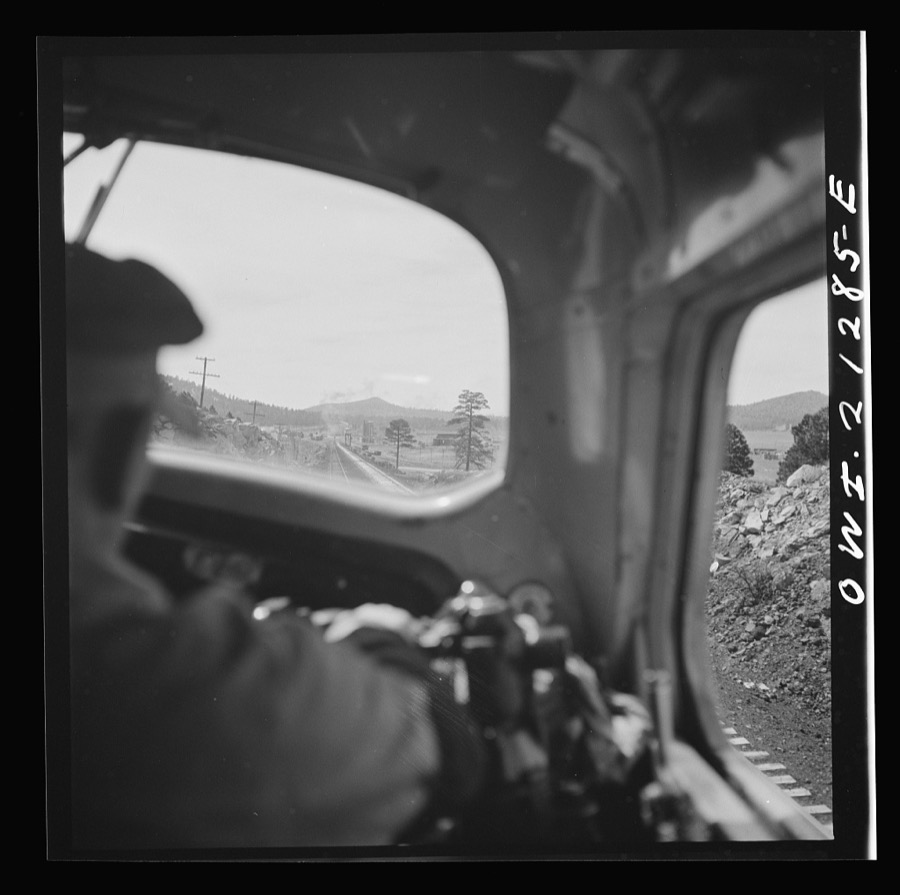
Taken for the Office of War Information and the Farm Security Administration, who photographed the country between 1935 and 1944. Works of United States government photographers, with no known restriction on use. Each opens its catalogue record.
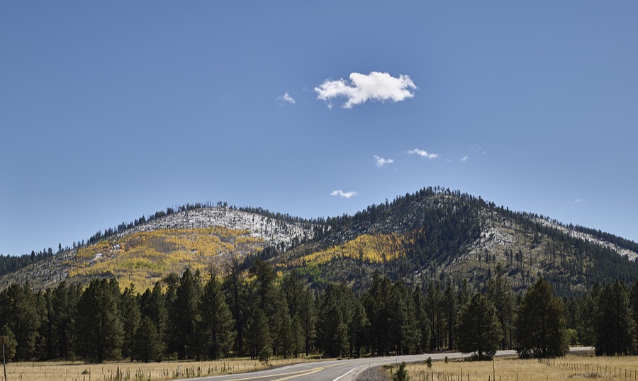
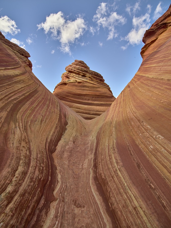
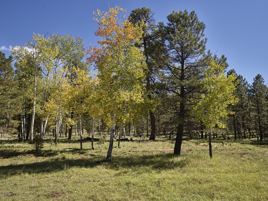
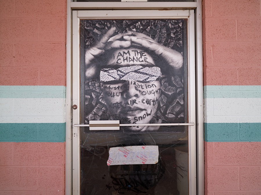
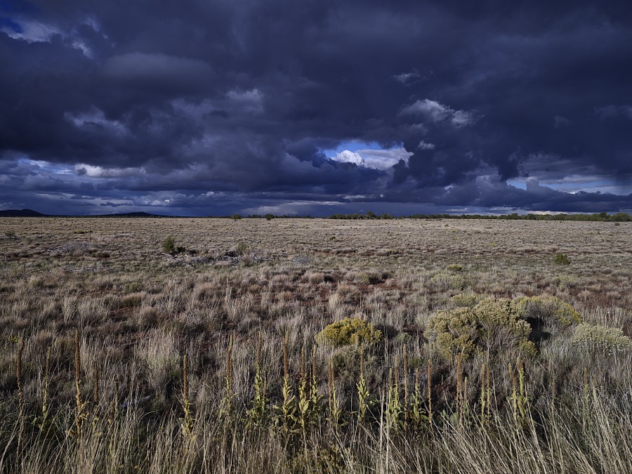
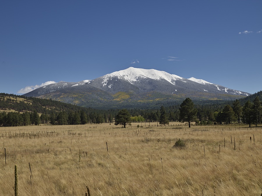
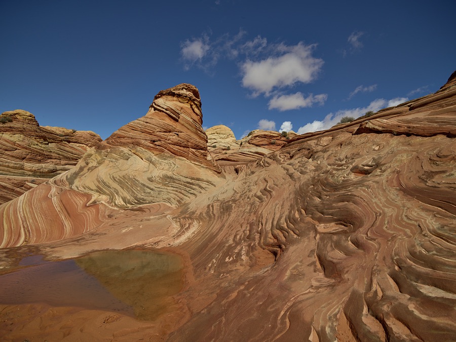
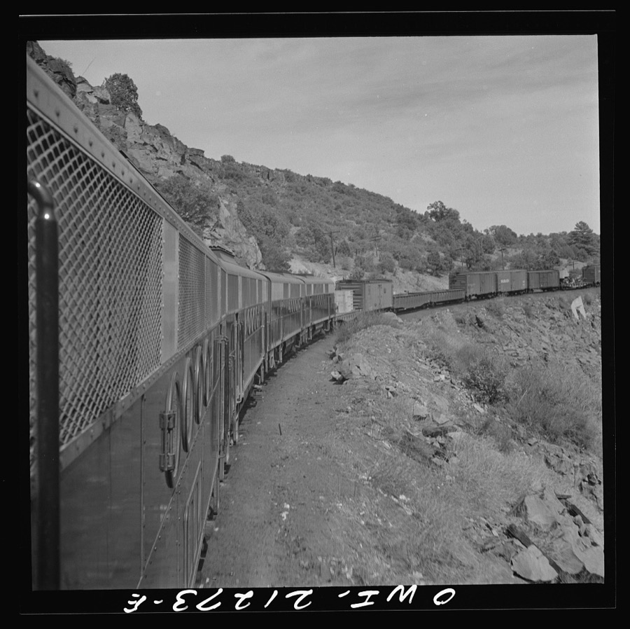
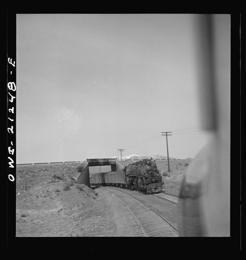
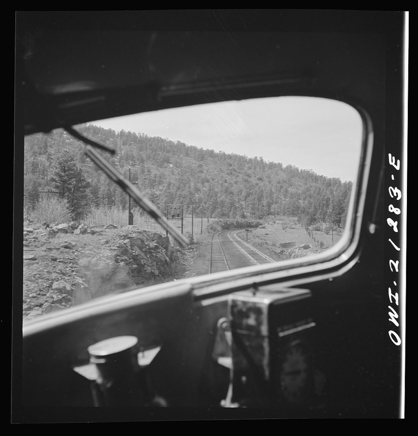
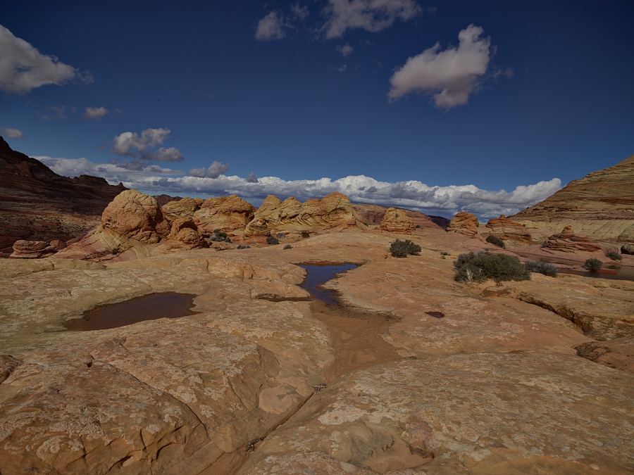
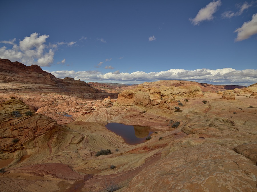
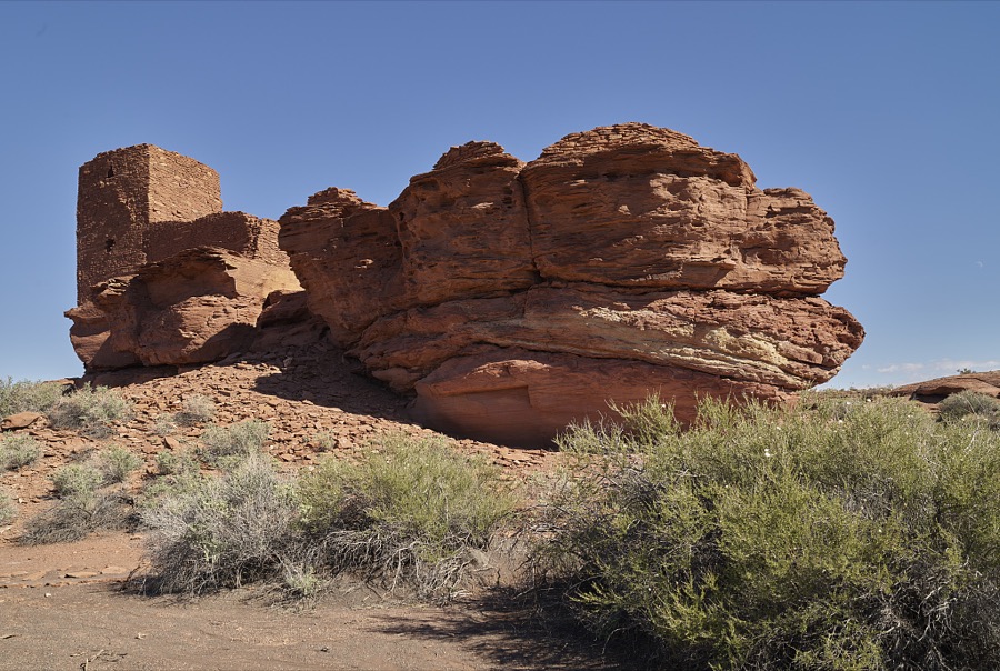
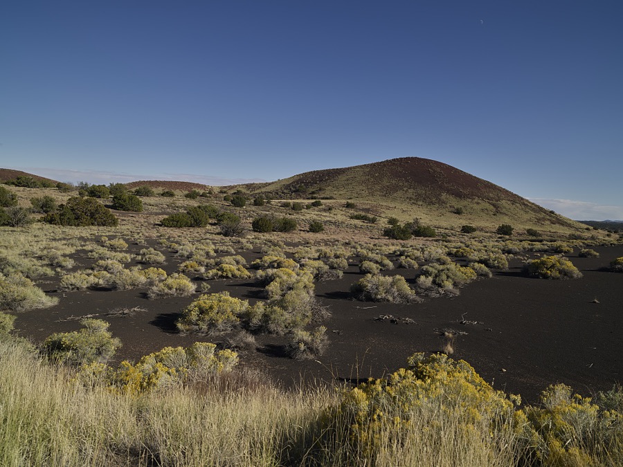
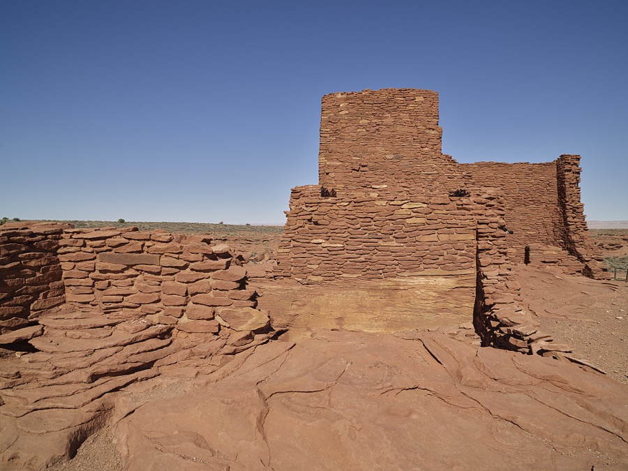
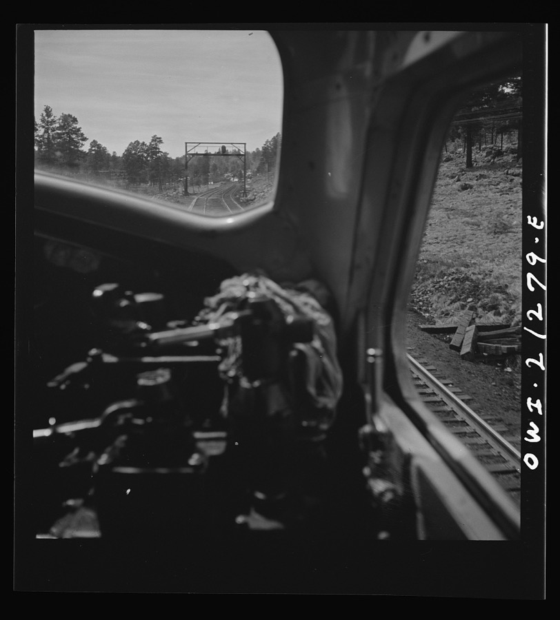
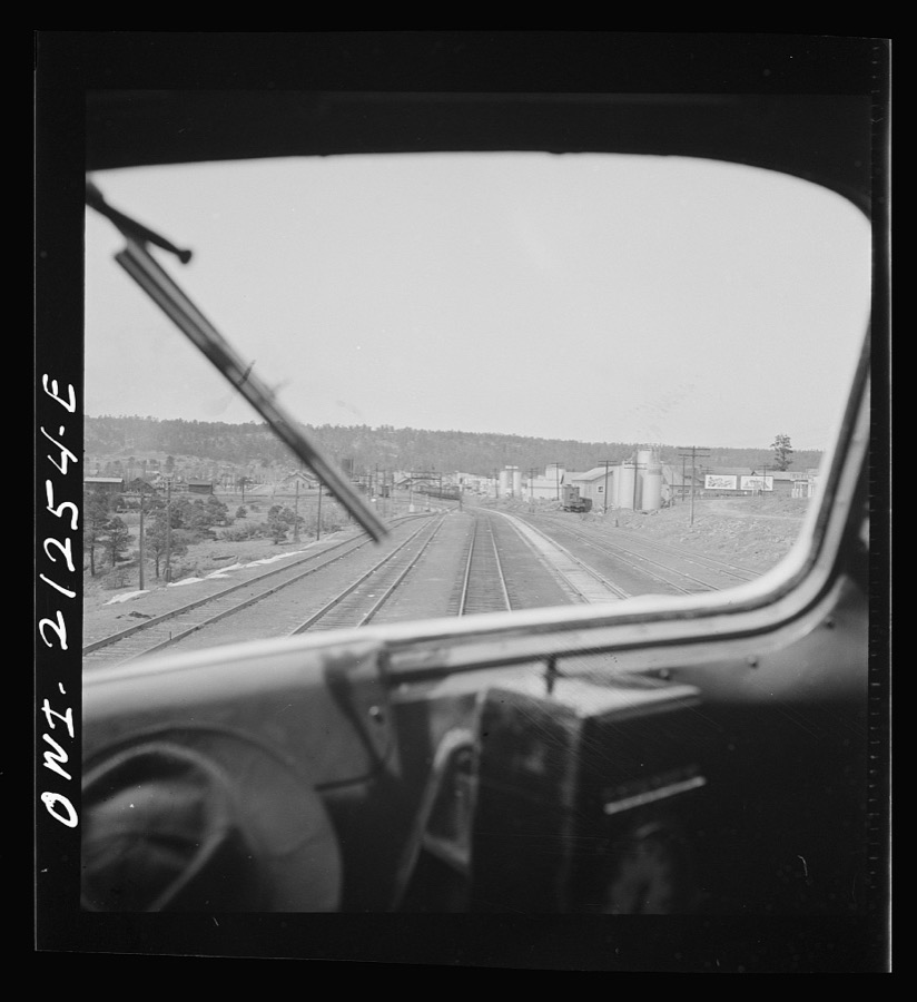
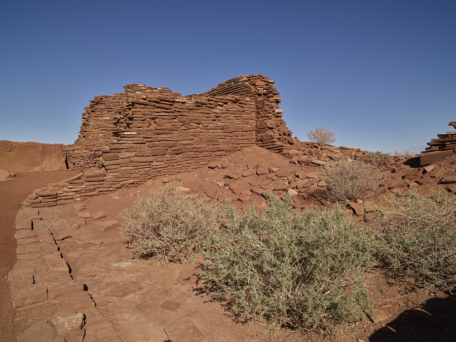
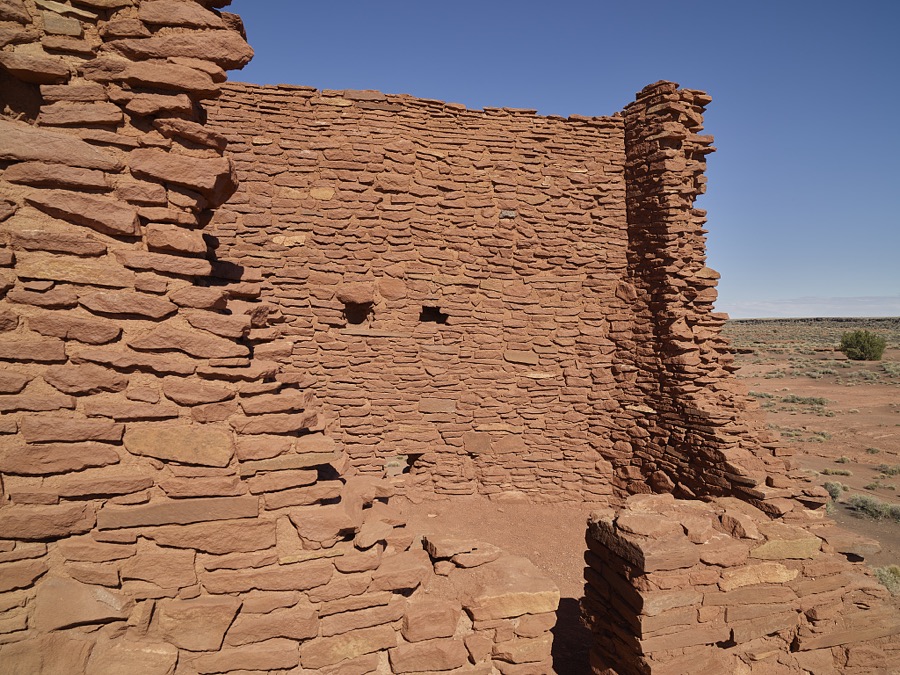
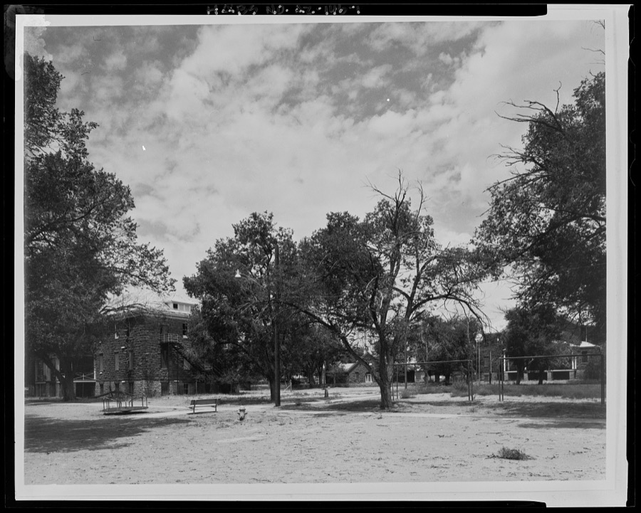
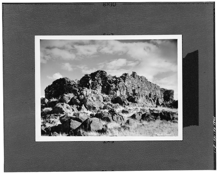
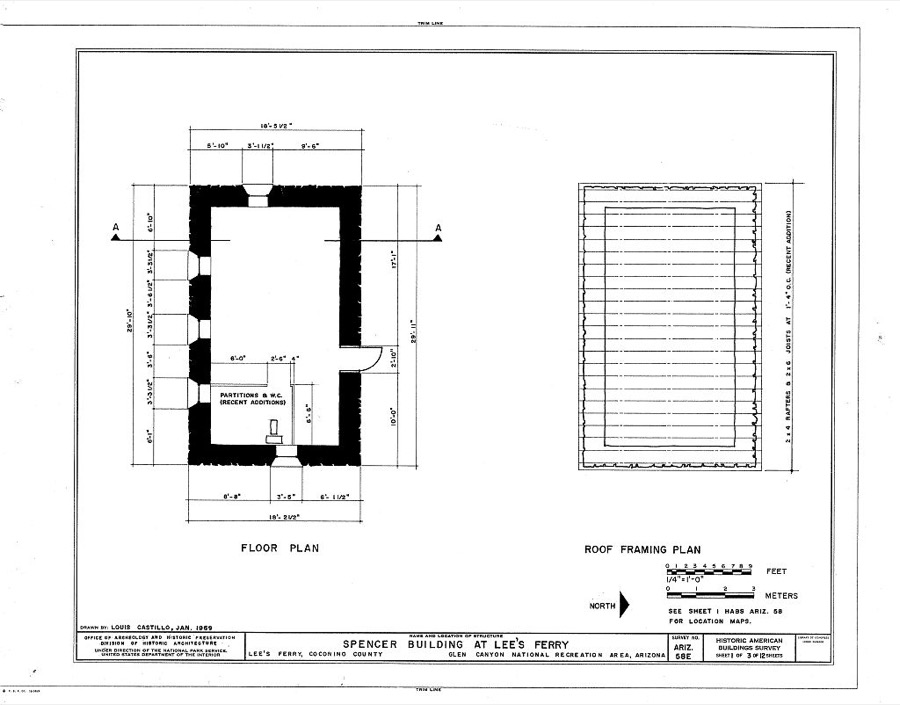
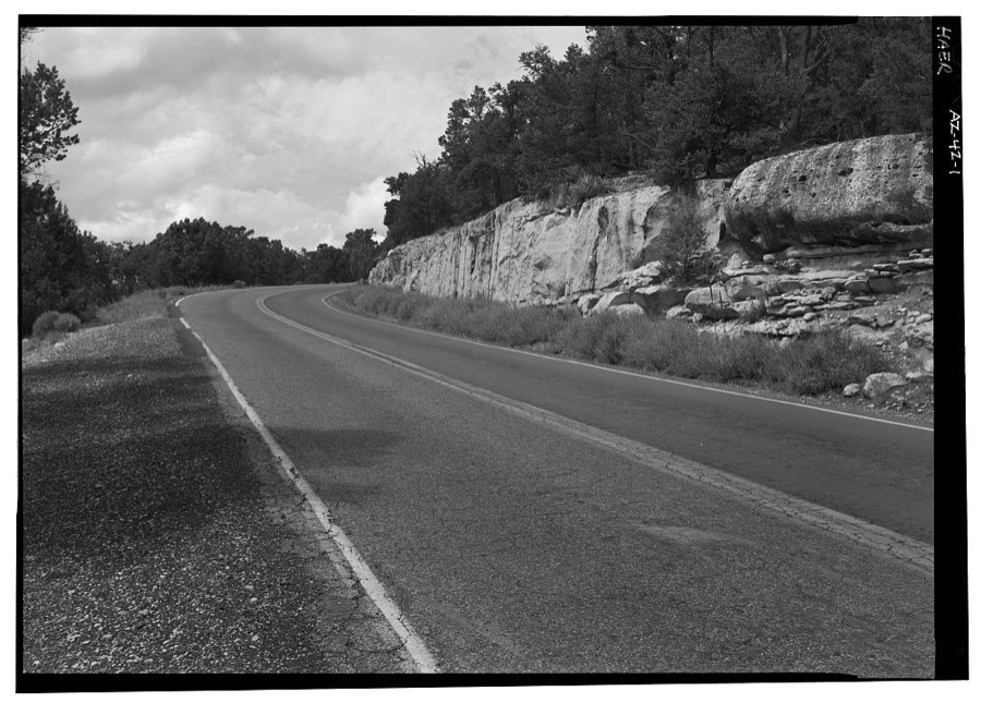
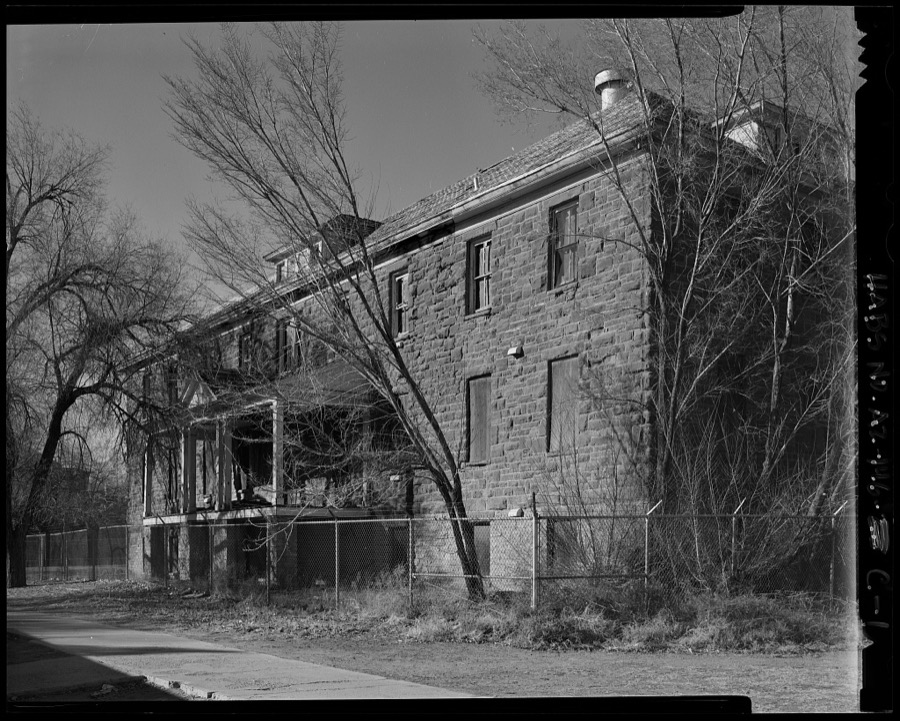
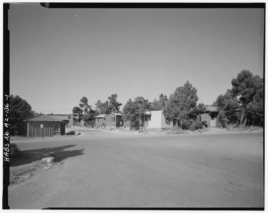
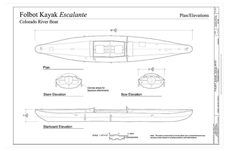
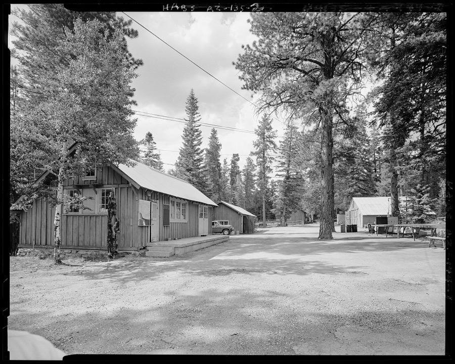
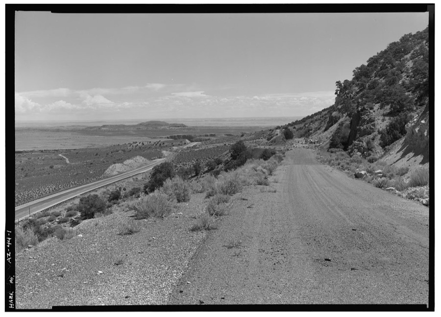
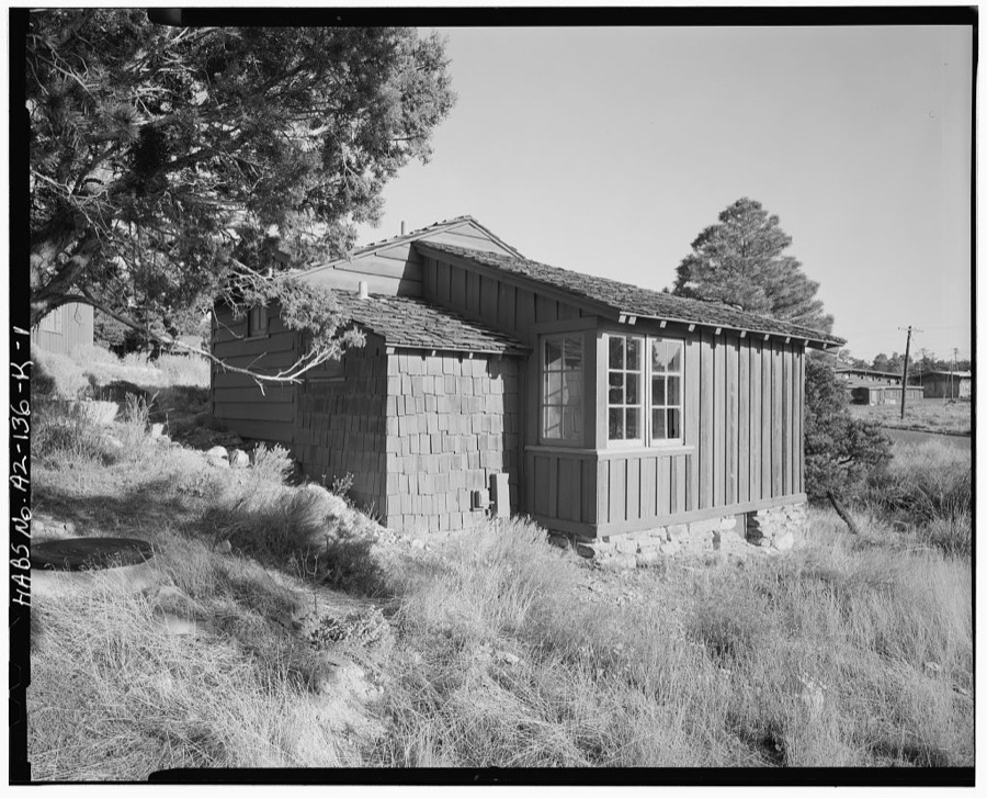
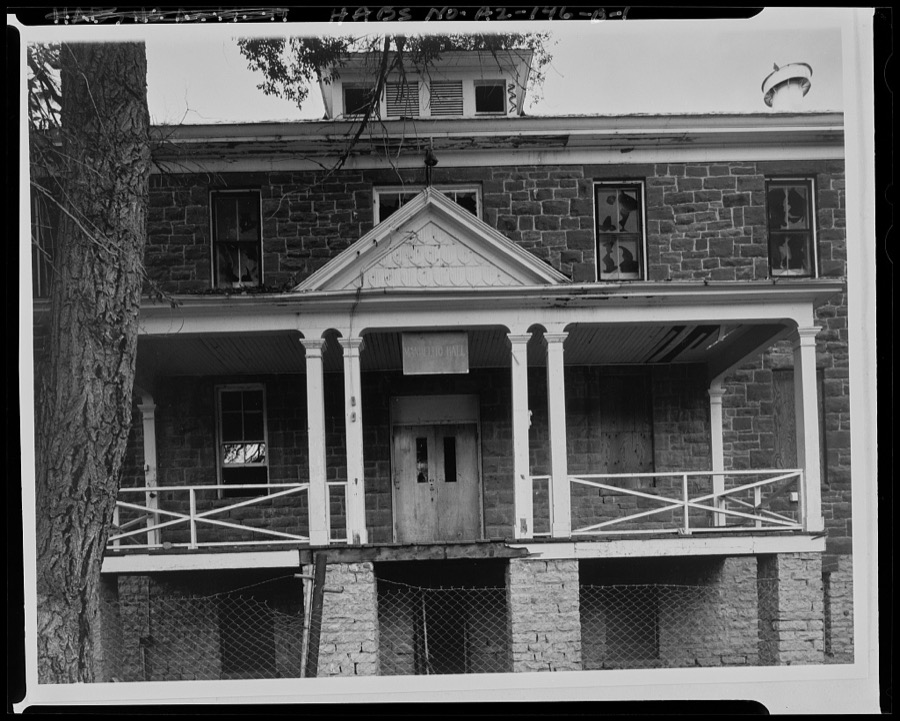
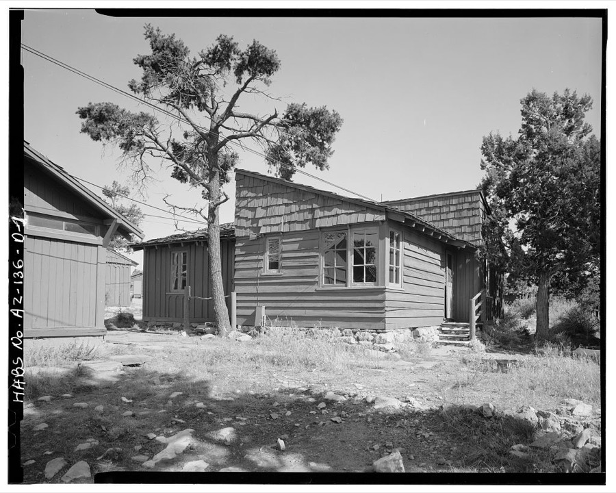
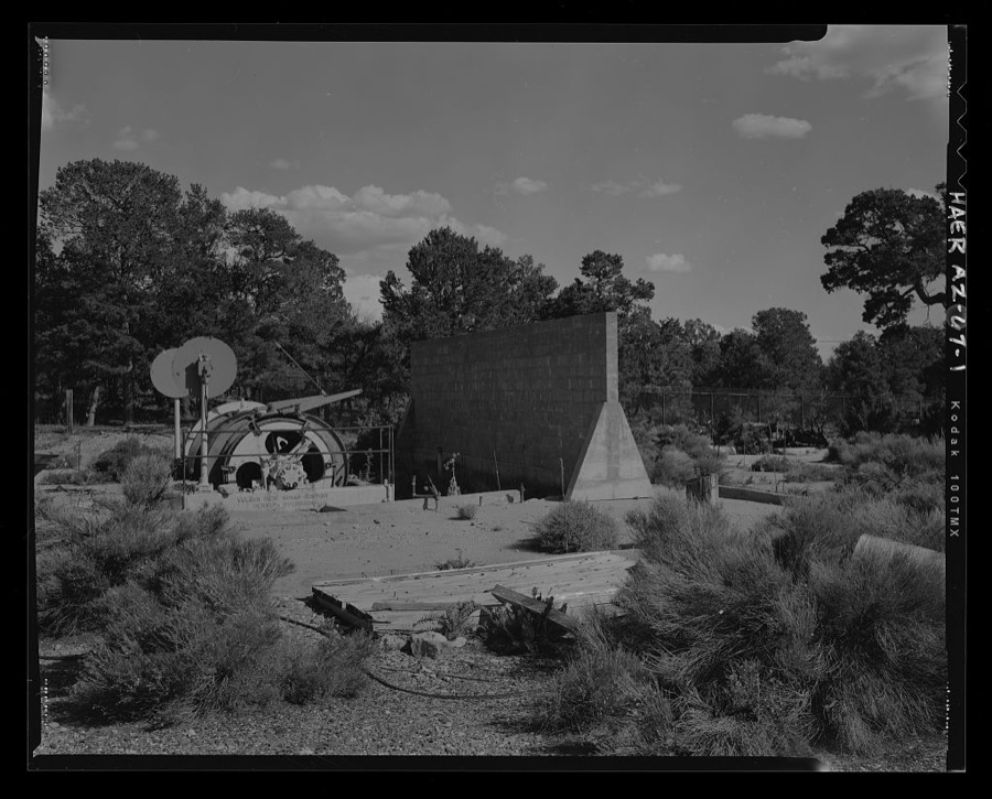
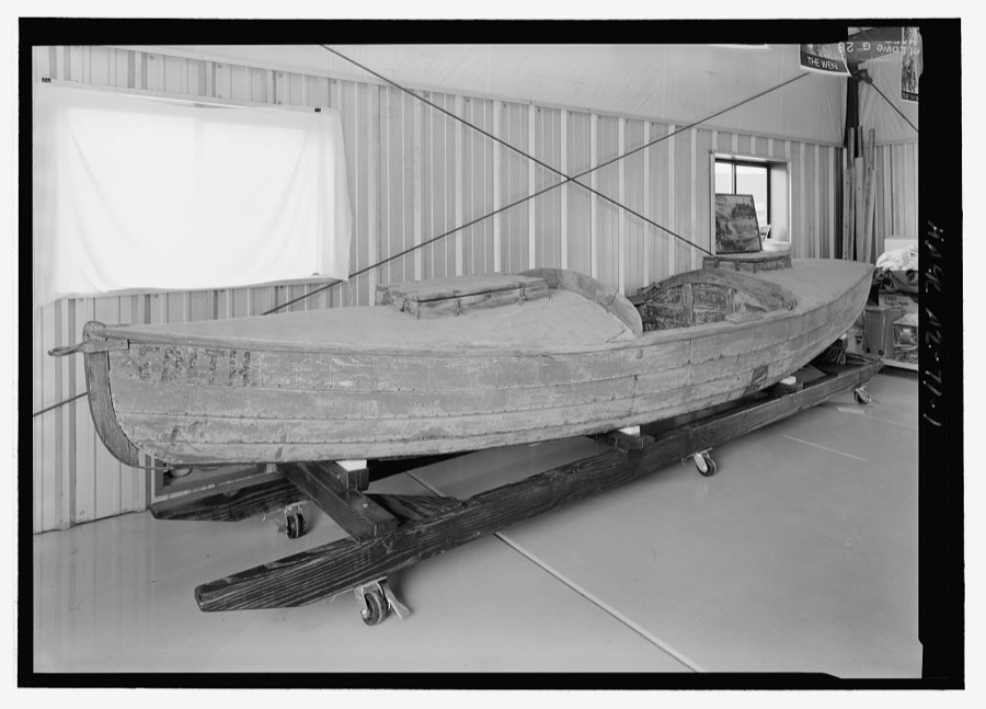
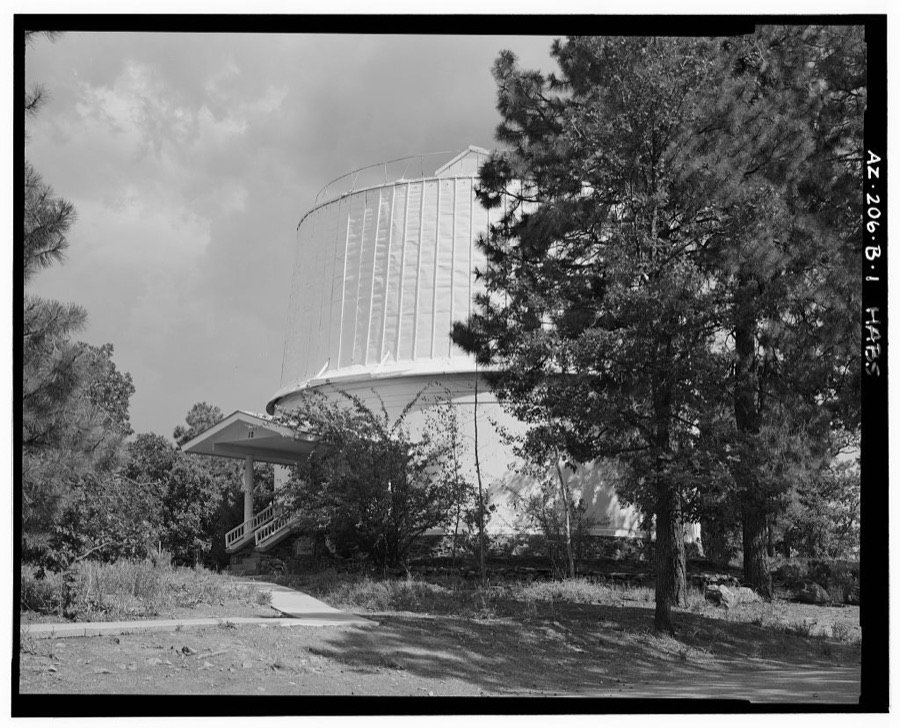
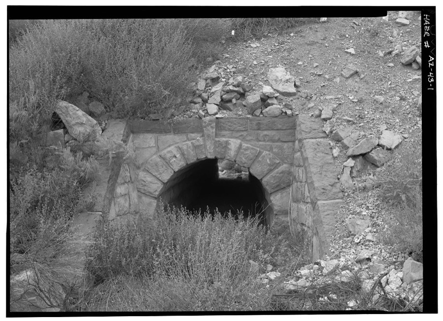
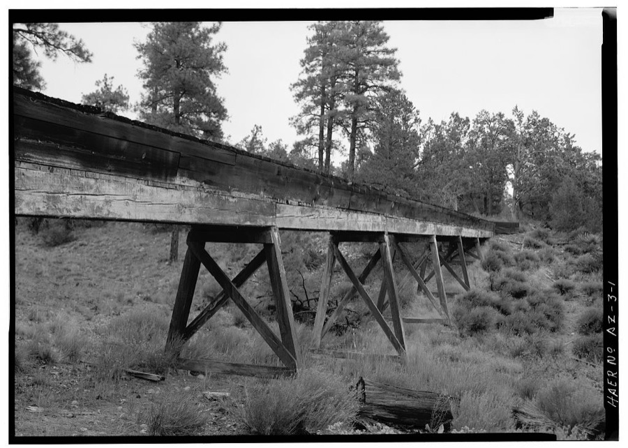
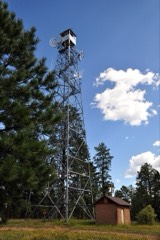
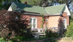
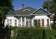
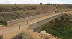
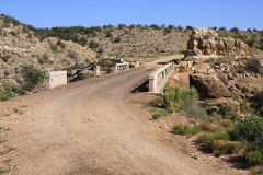
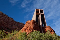
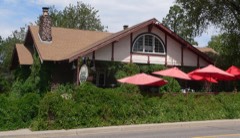
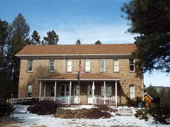
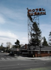
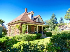
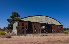
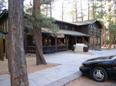
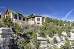
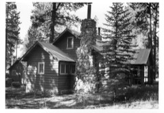
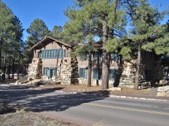
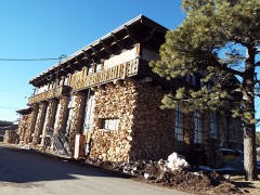
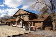
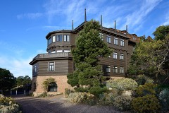
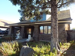
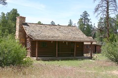
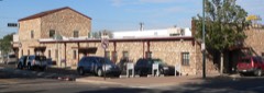
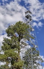
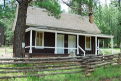
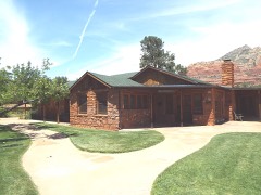
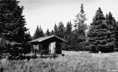
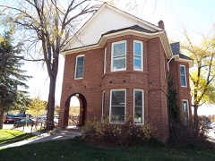
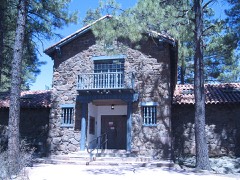
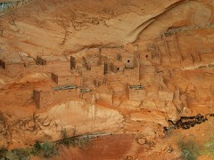
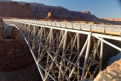
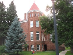
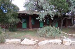
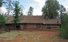
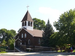
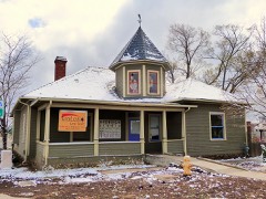
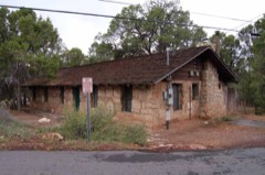
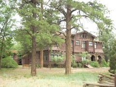
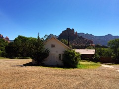
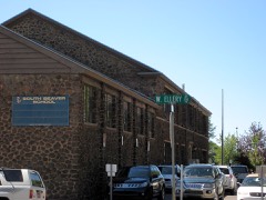
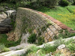
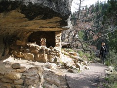
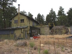
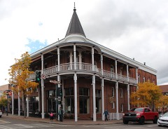
Every property in this county listed on the National Register of Historic Places, with the year it was listed and the federal nomination document.
Sampled issues, machine-read from the Library of Congress scan and published page by page, so every headline and column is searchable text.
Williams, Ariz., 1891 to 1989. Machine-read from the Library of Congress scan.
Flagstaff, Ariz., 1891. Machine-read from the Library of Congress scan.
Flagstaff, Ariz., 1891 to 1896. Machine-read from the Library of Congress scan.
Flagstaff, Ariz., 1898 to 1978. Machine-read from the Library of Congress scan.
Flagstaff, Ariz., 1896 to 1897. Machine-read from the Library of Congress scan.
Flagstaff, Ariz., 1897 to 1898. Machine-read from the Library of Congress scan.
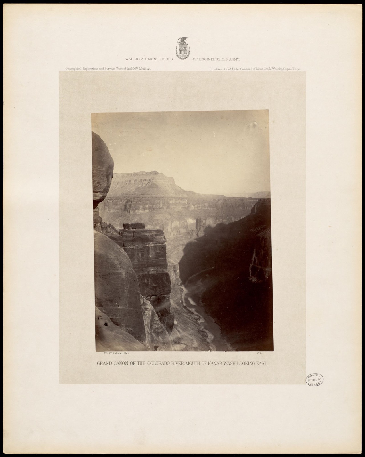
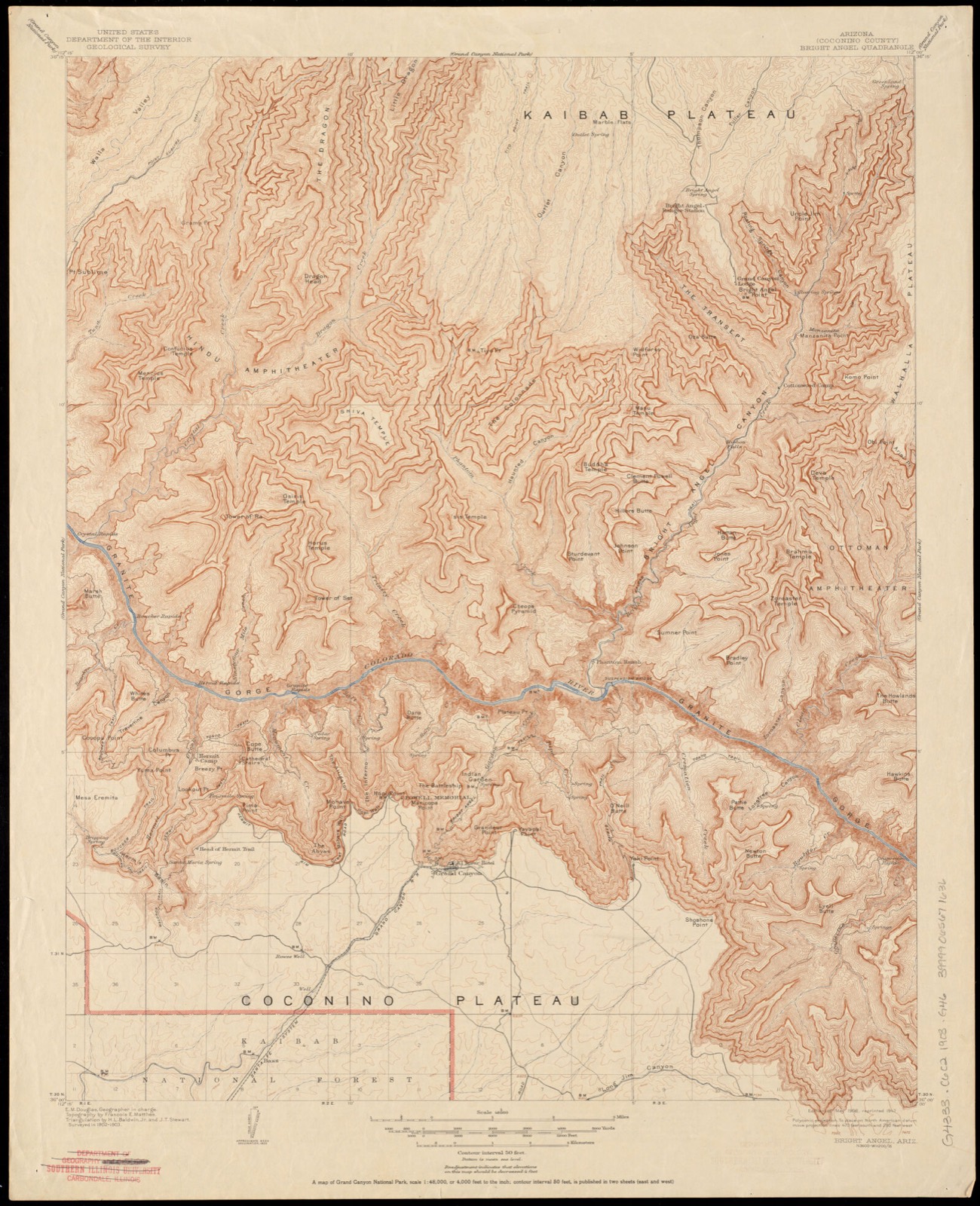
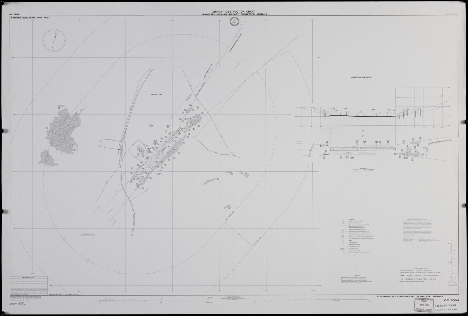
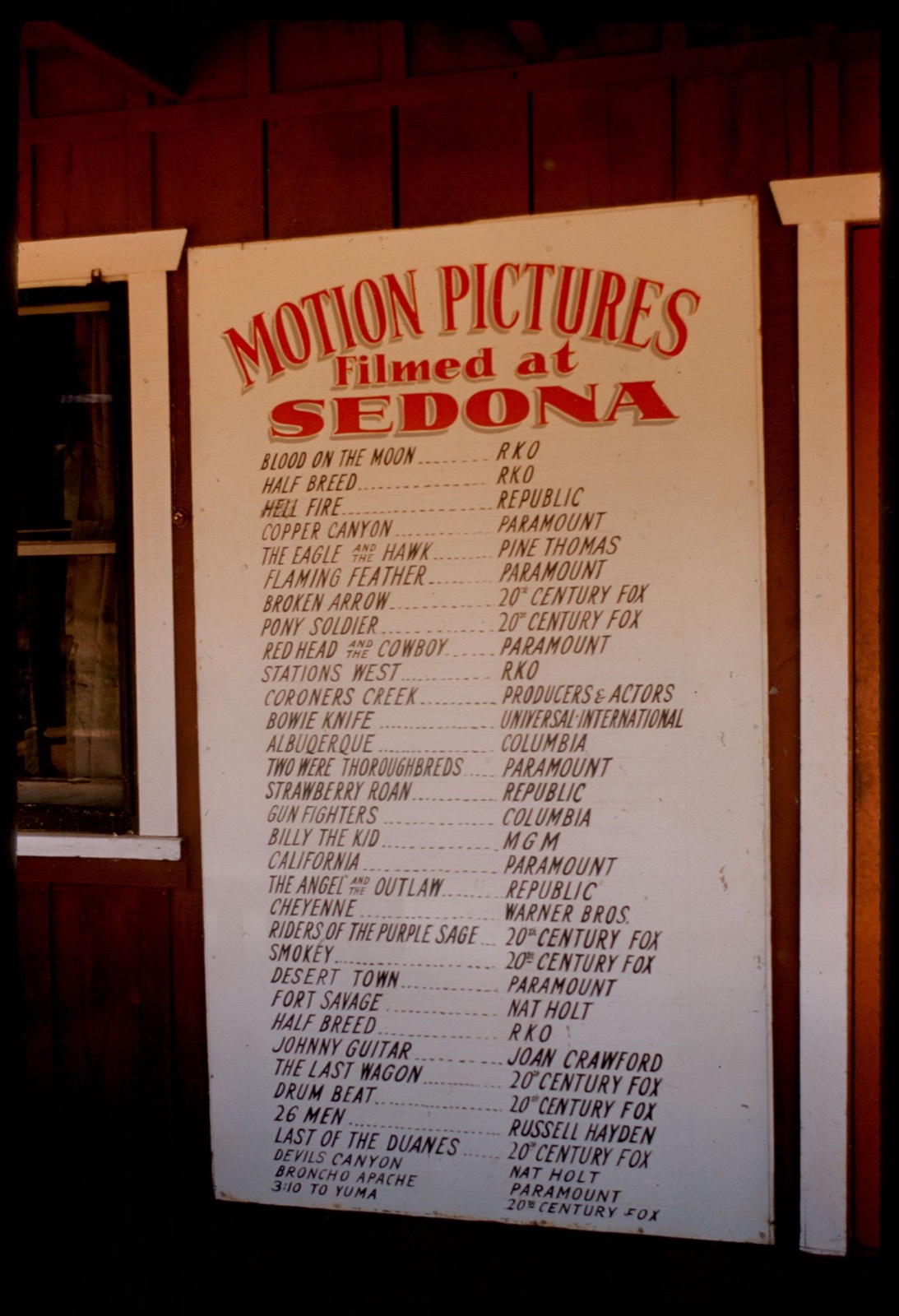
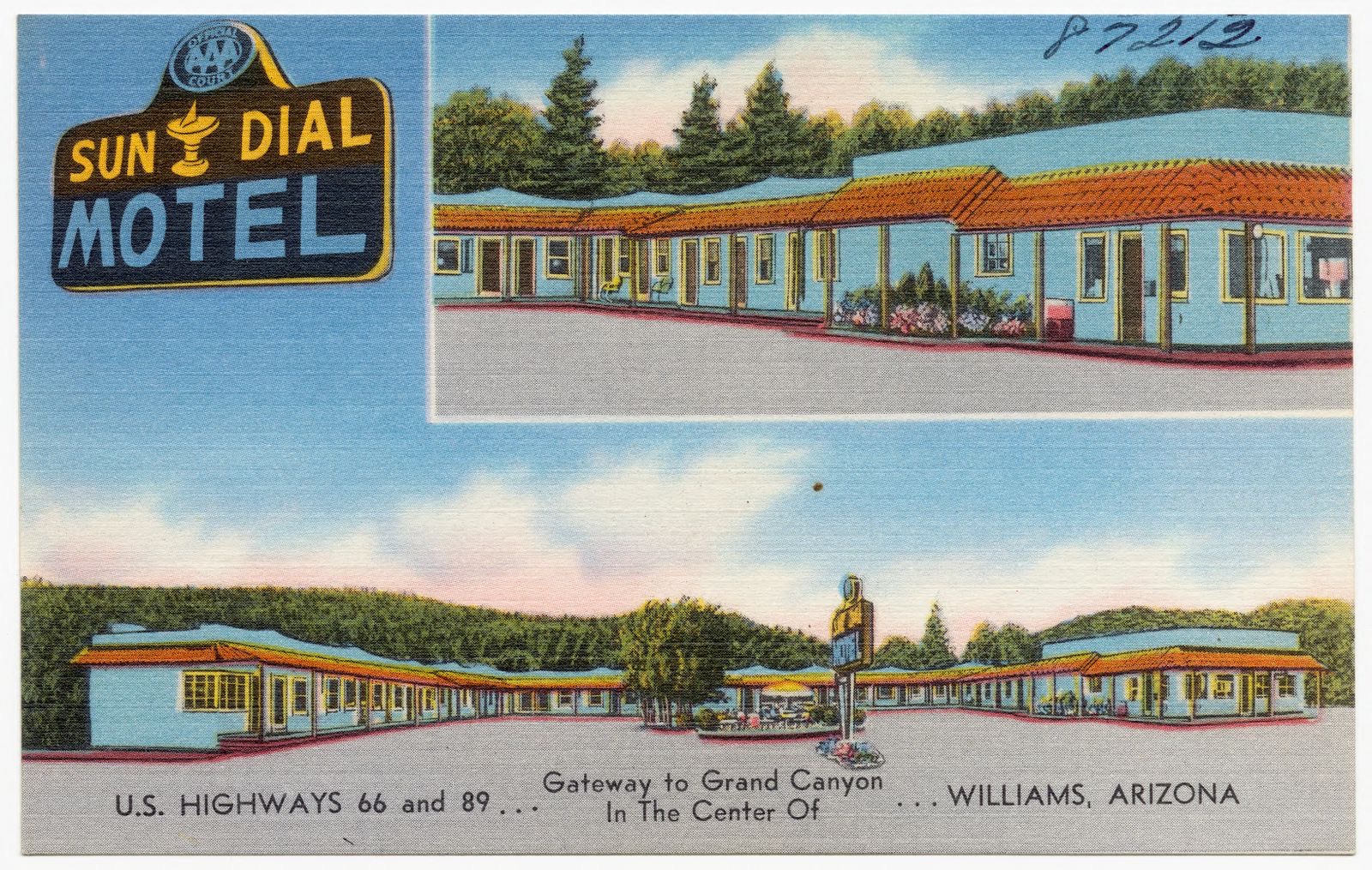
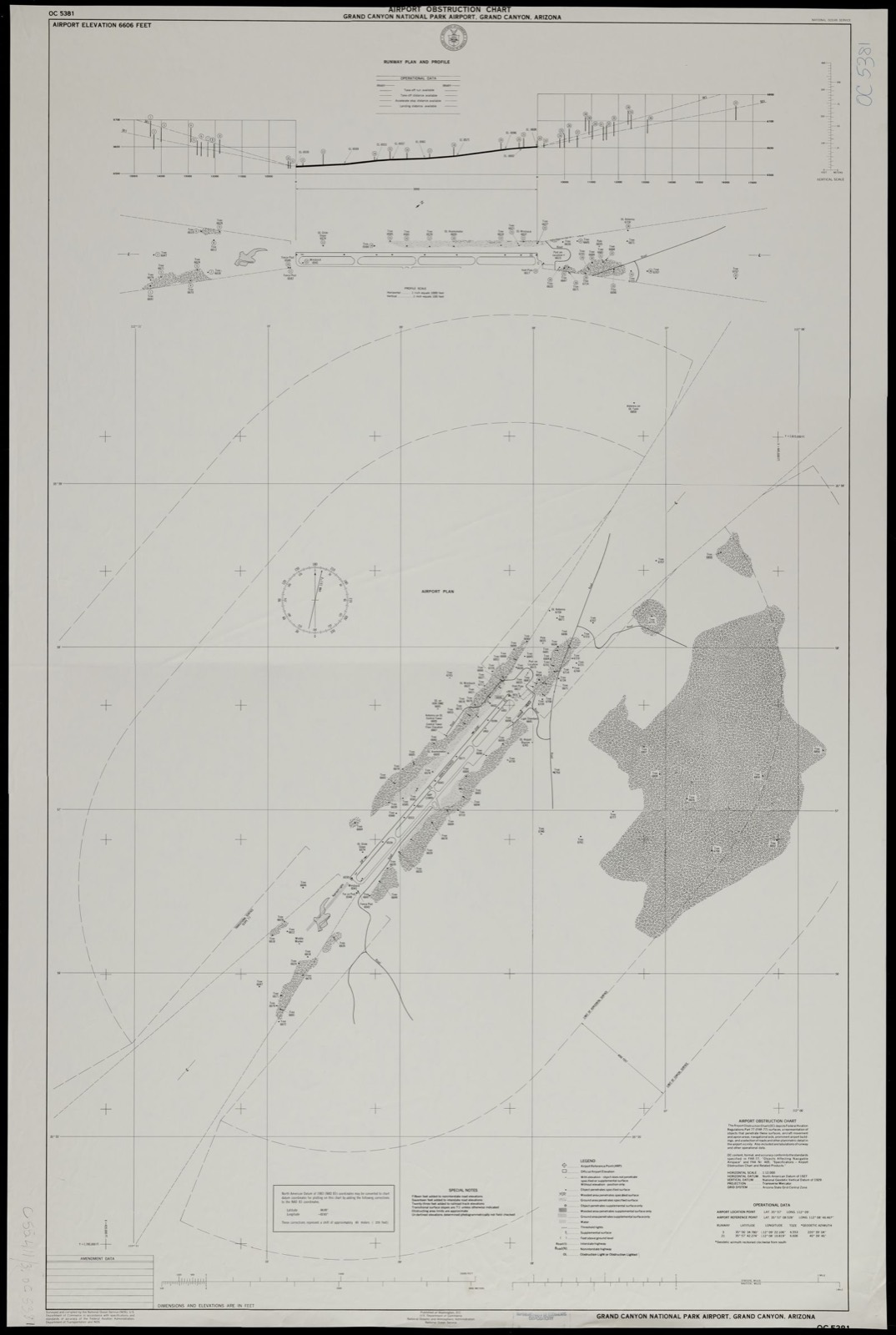
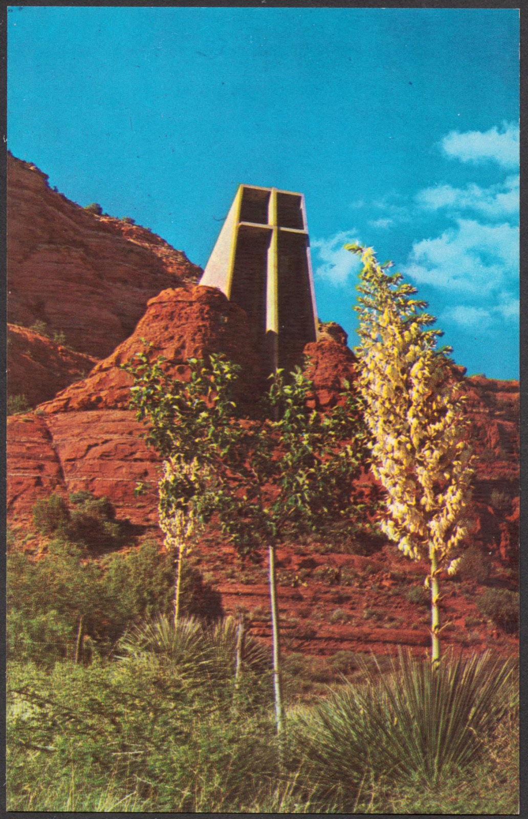
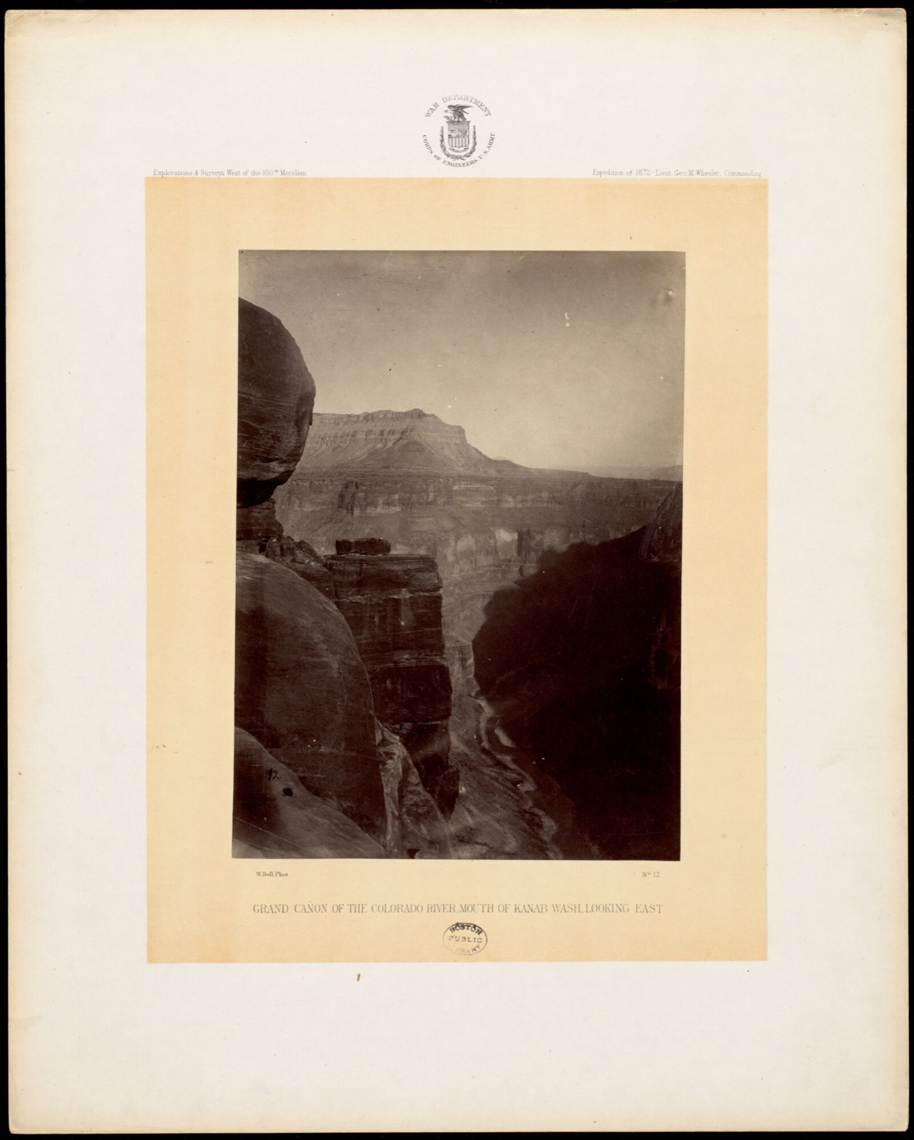
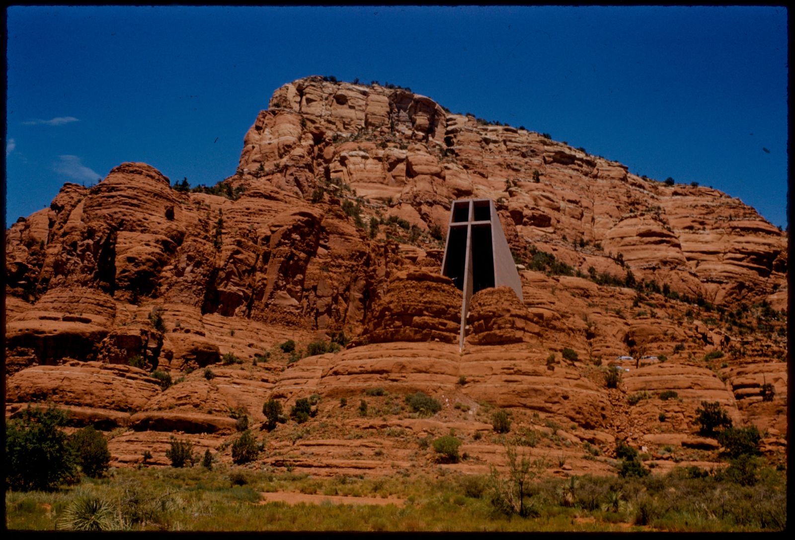
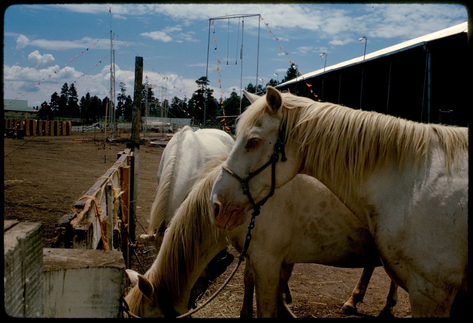
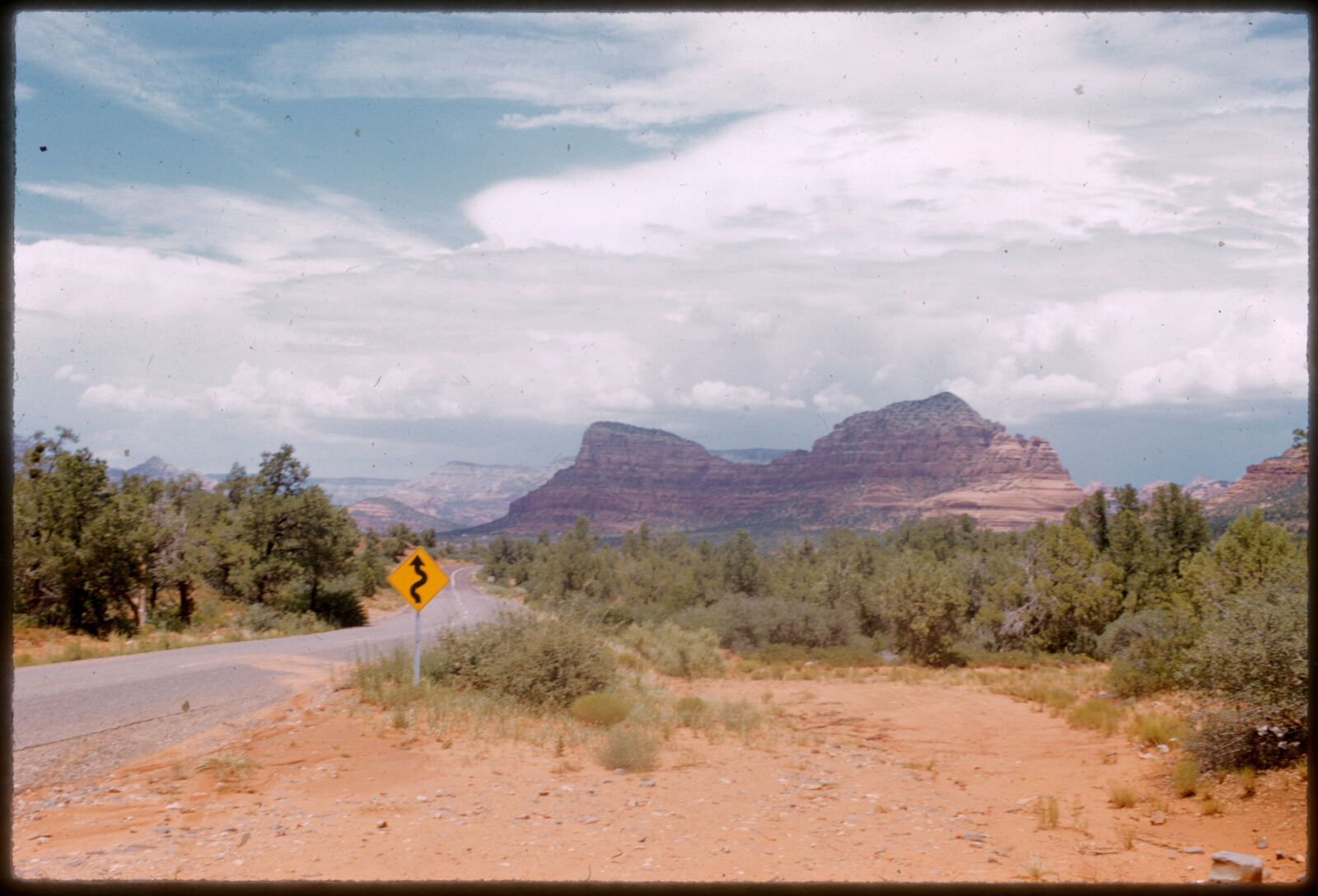
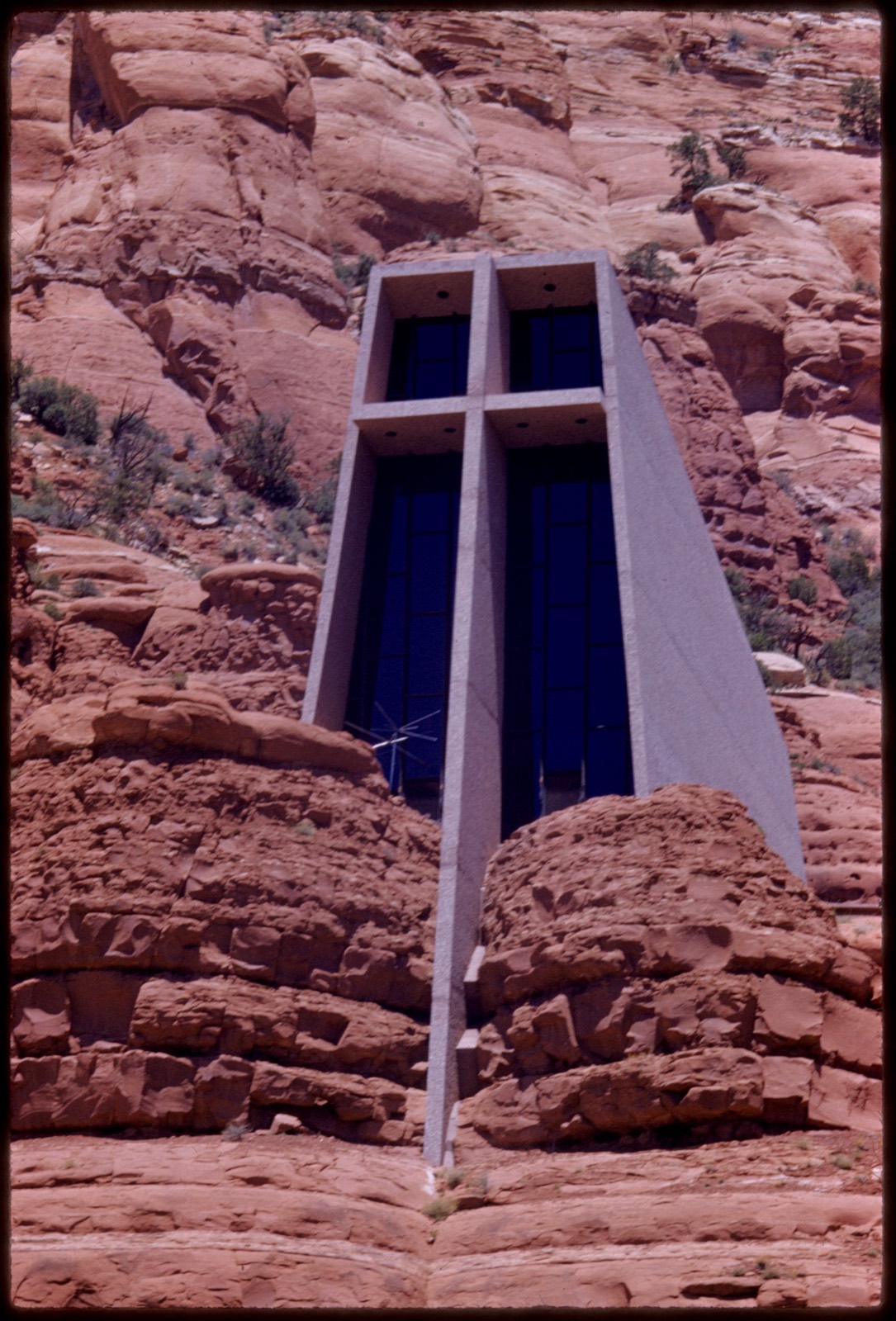
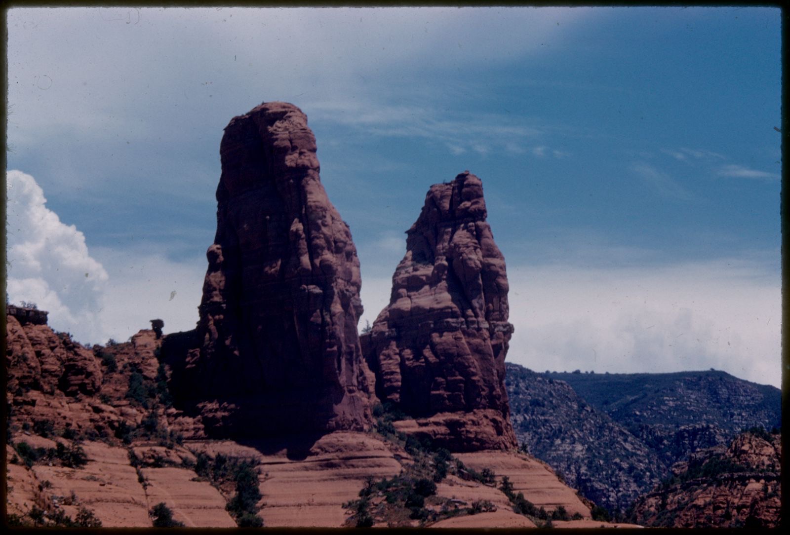
Selected from the Digital Public Library of America's 91 image records catalogued for this county. Every one shown here carries a public-domain status or a licence that permits reuse on a site that carries advertising; non-commercial, share-alike and restricted images are excluded. The selection is spread across the county's towns (at most eight per town), so no single institution's bulk upload crowds out the rest. Each opens the holding library's record, and the complete set at the Digital Public Library of America is one click away.
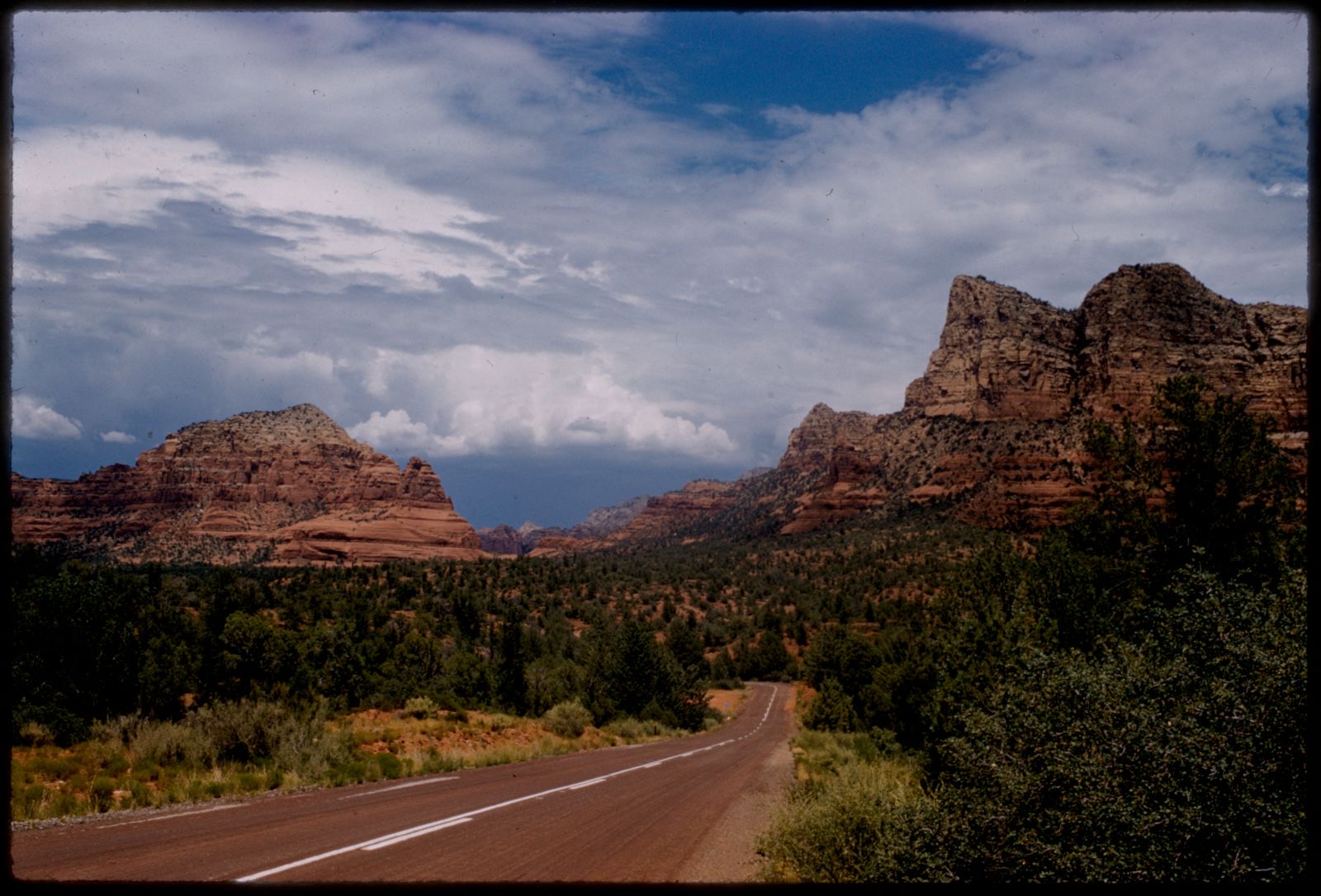
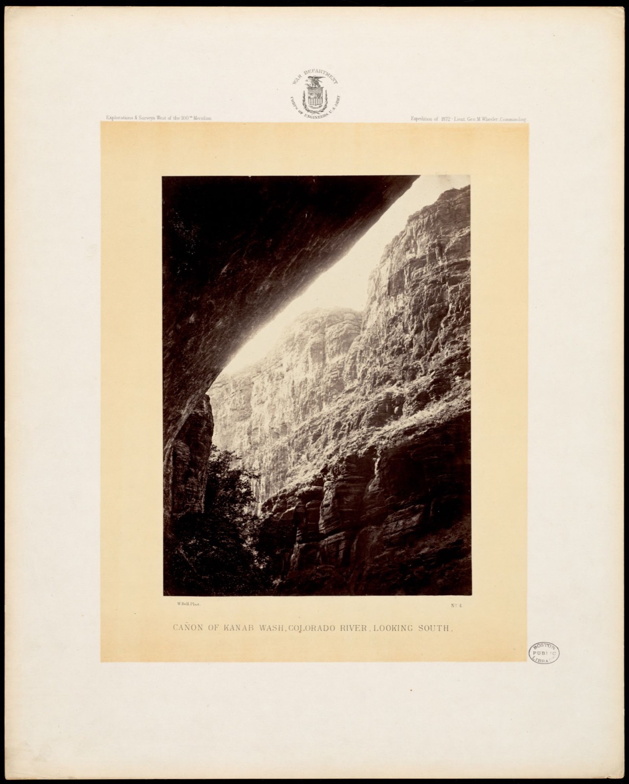
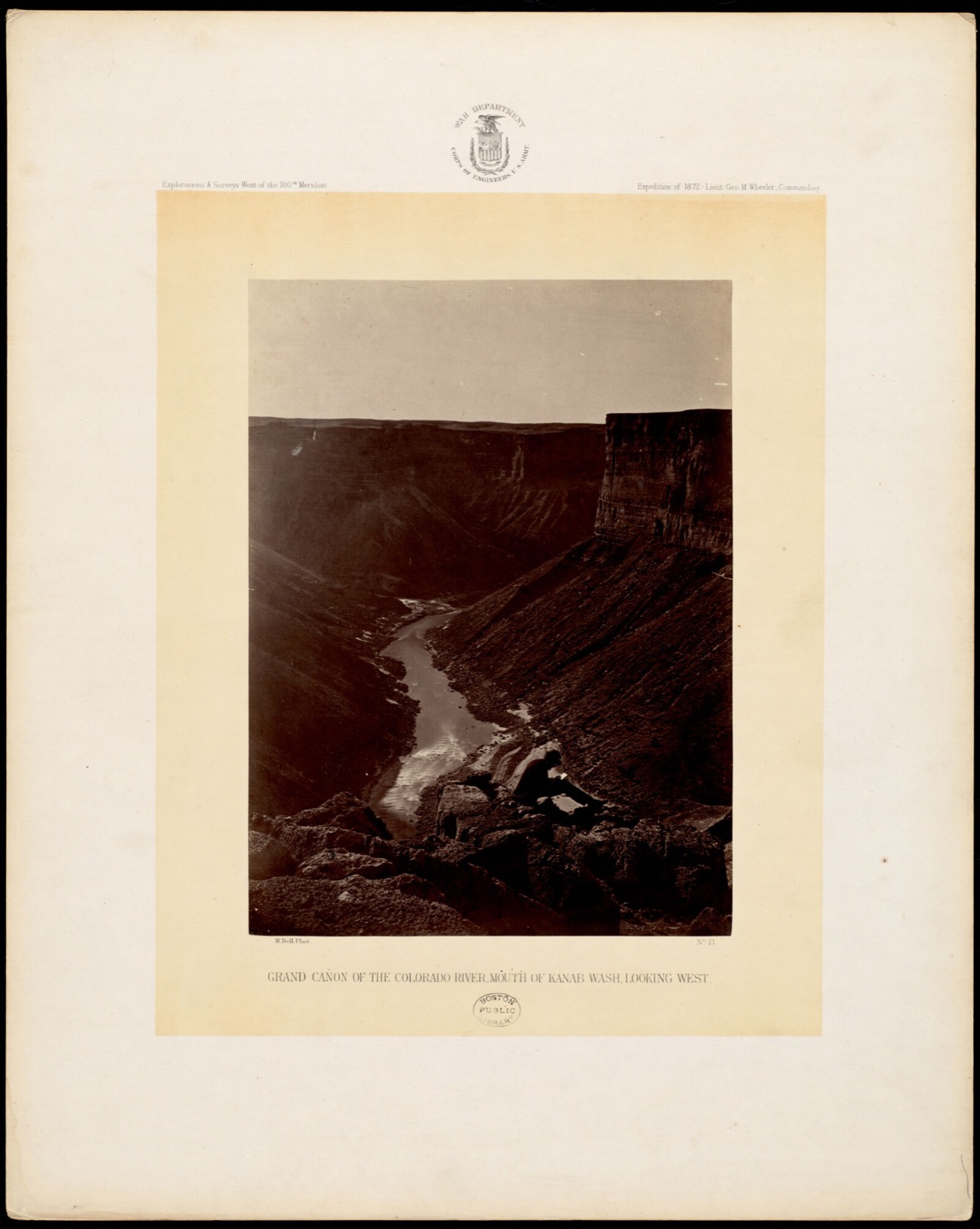
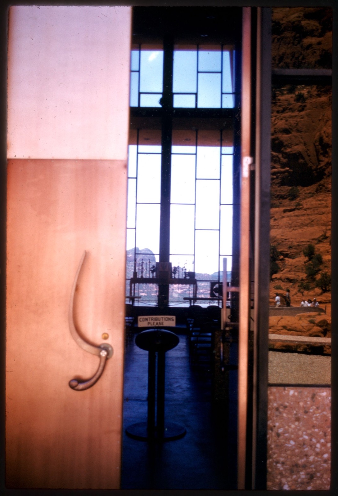
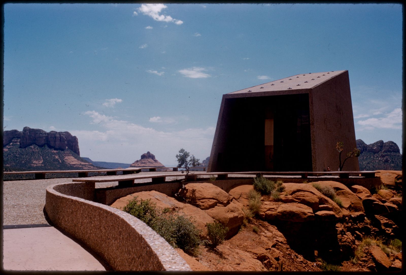
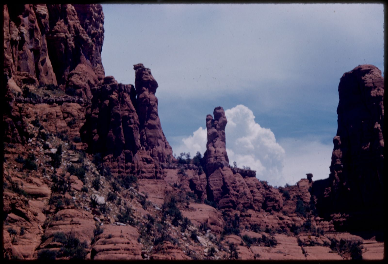
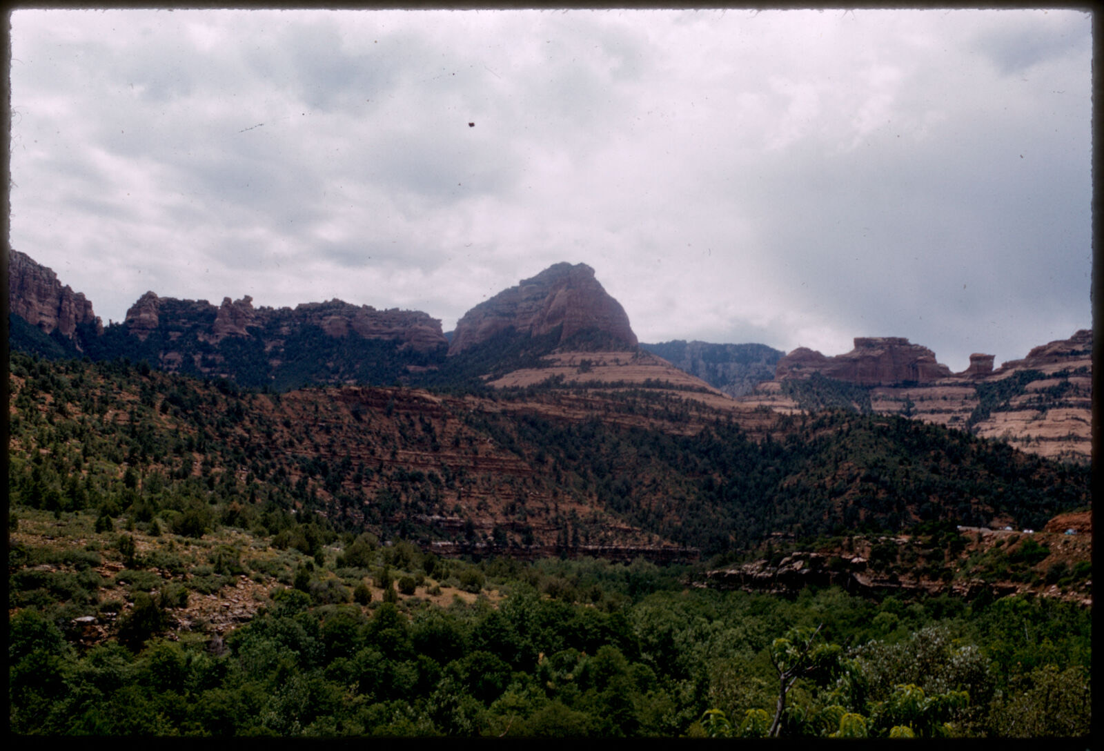
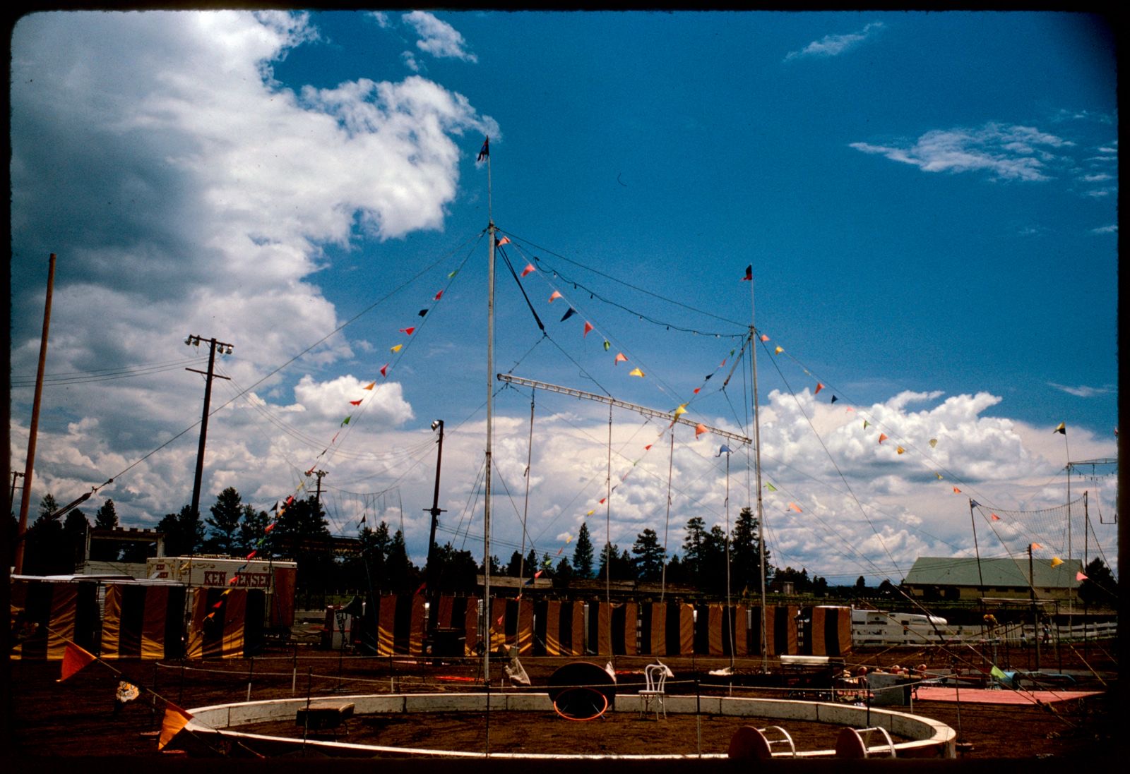
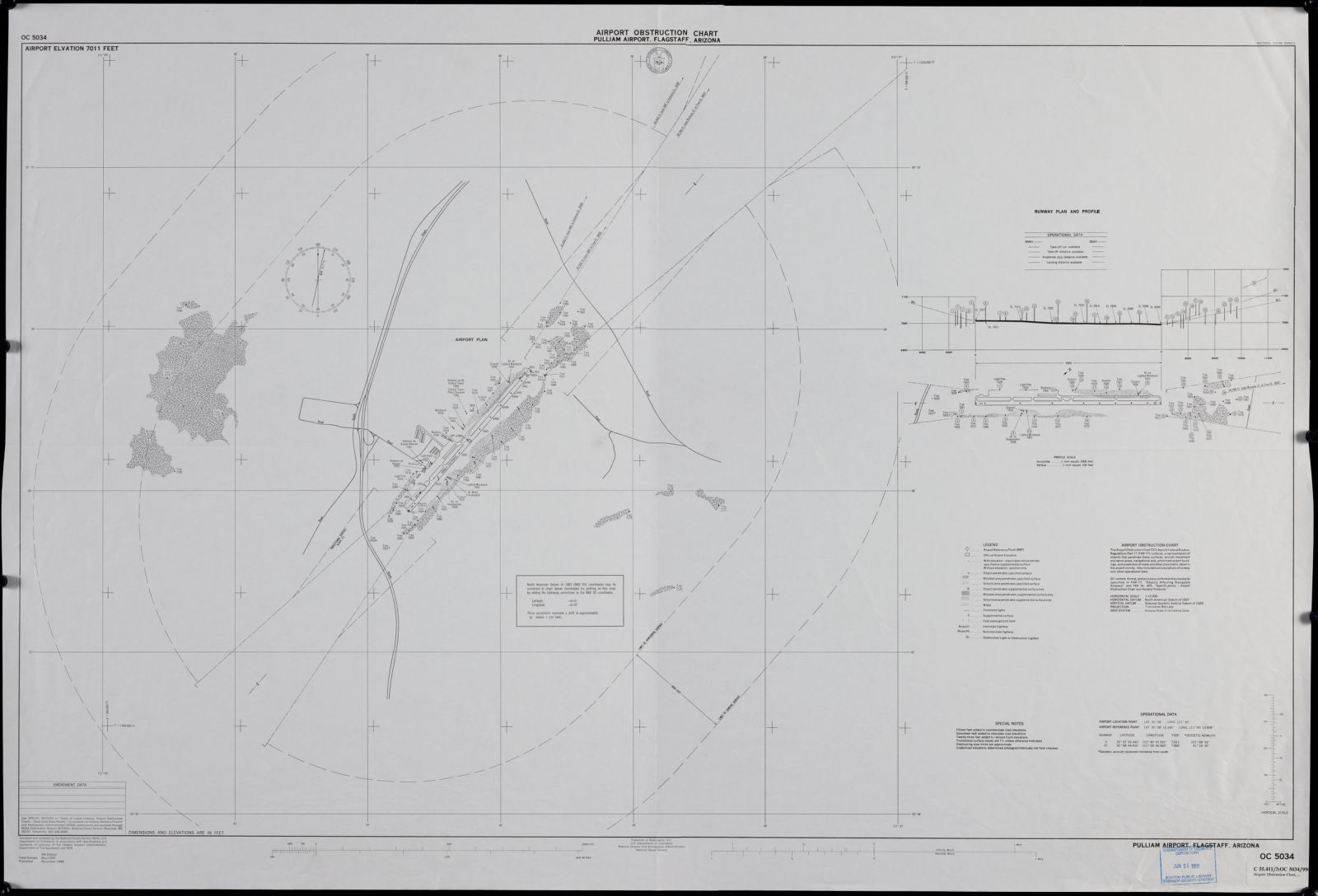
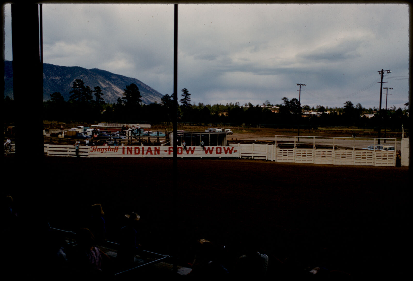
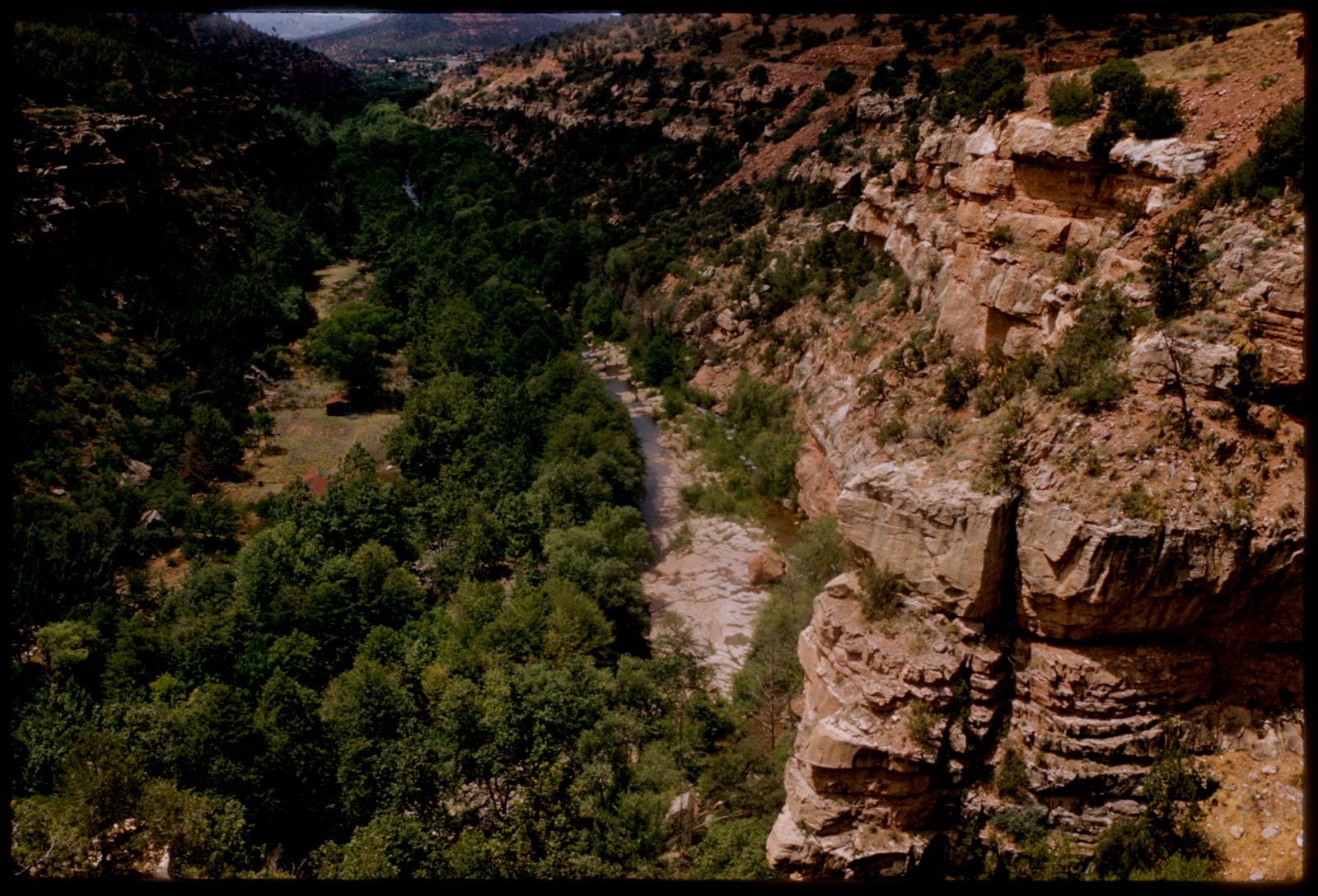
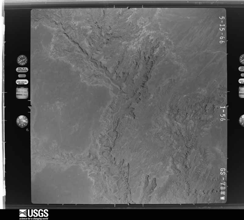
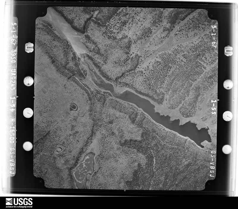
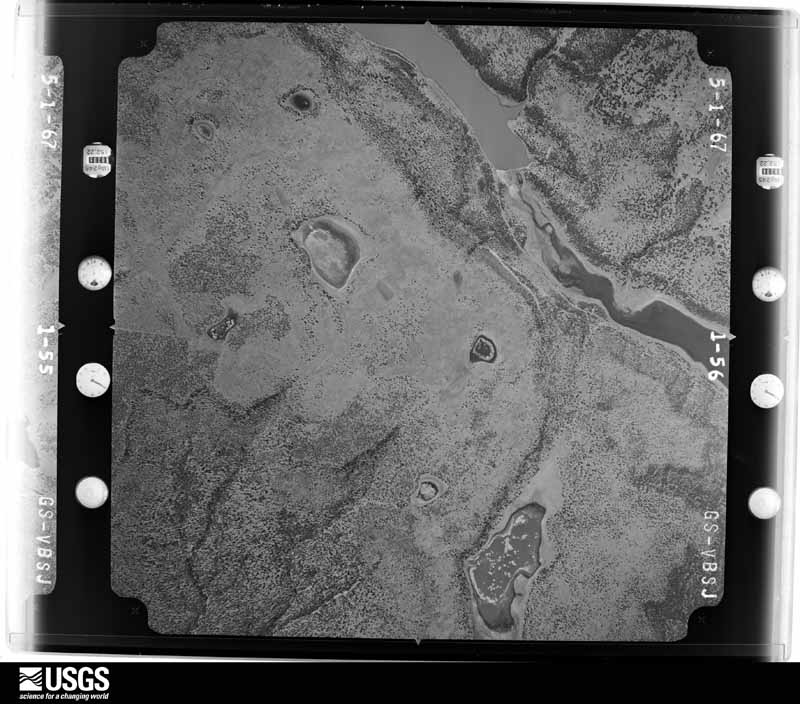
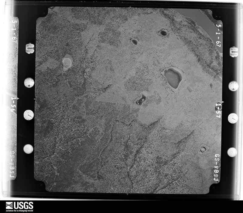
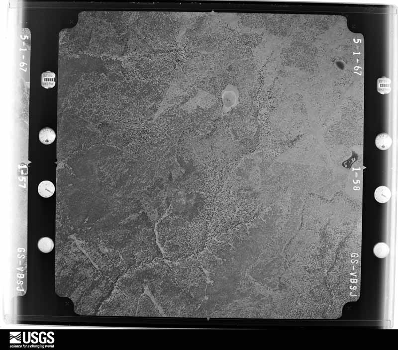
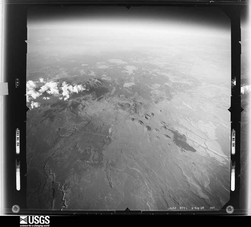
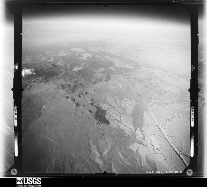
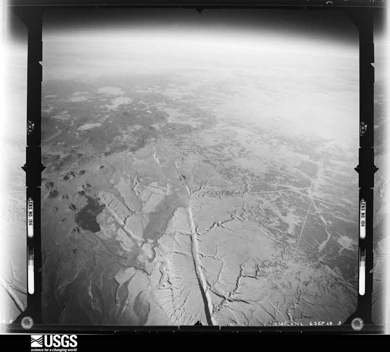
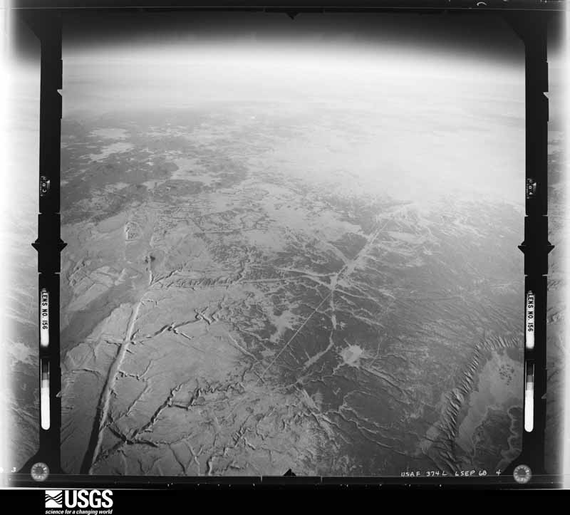
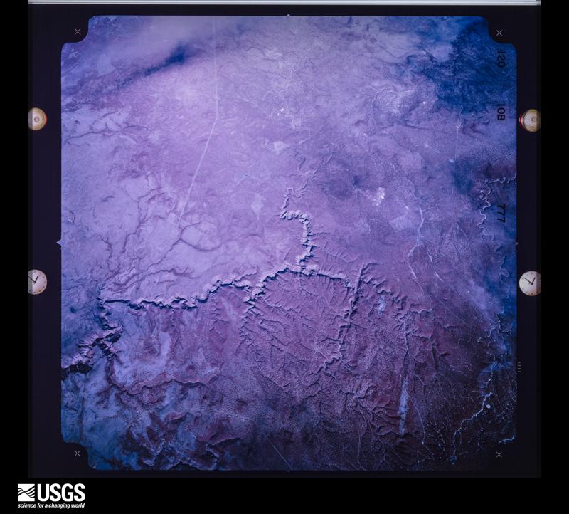
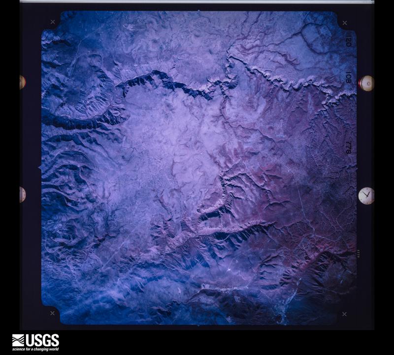
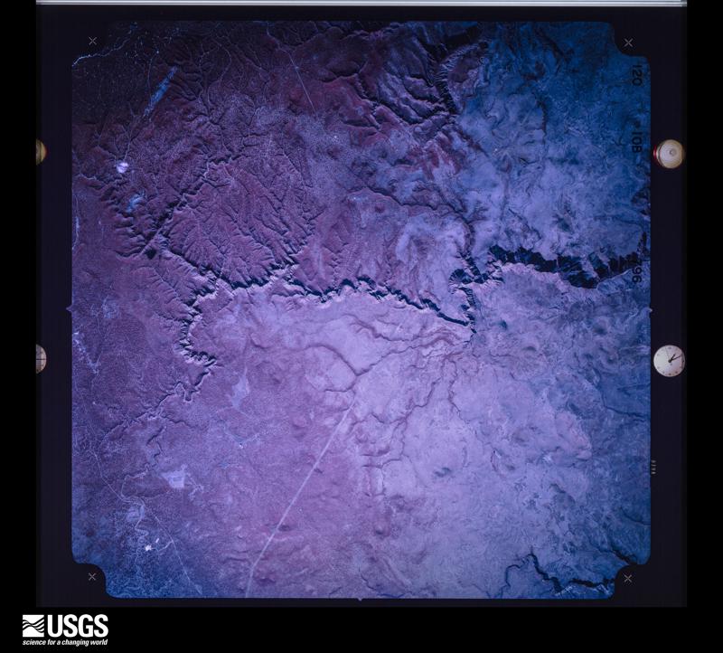
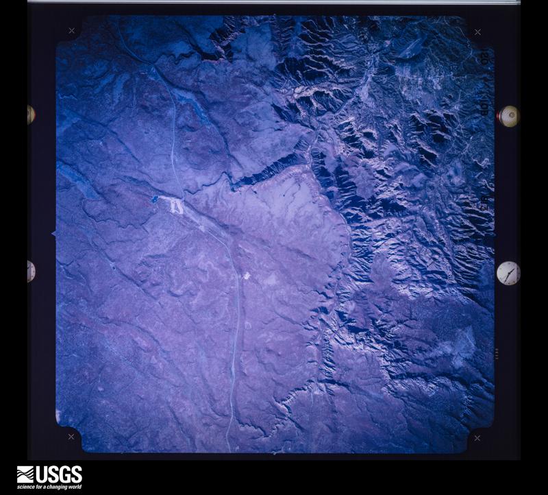
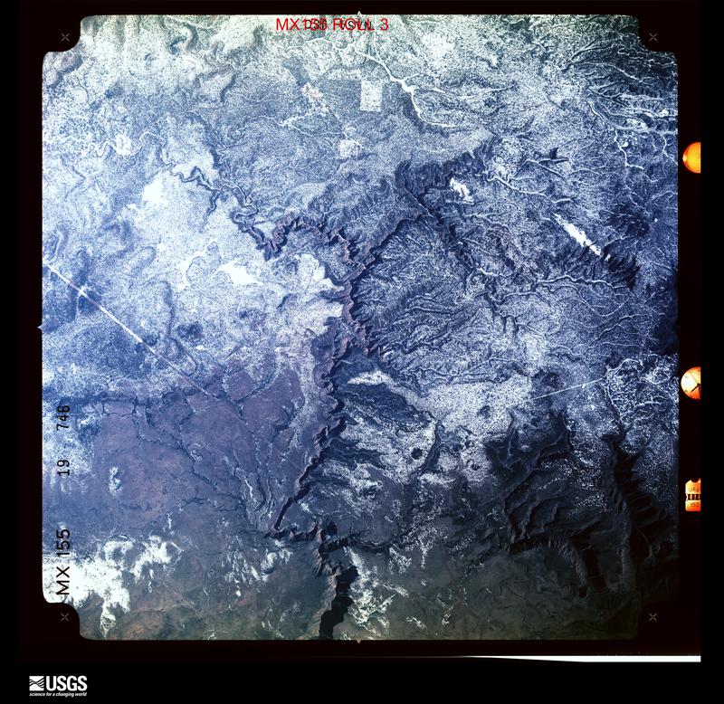
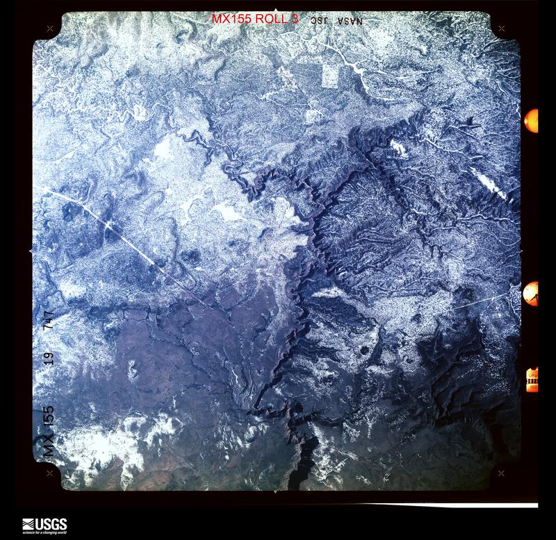
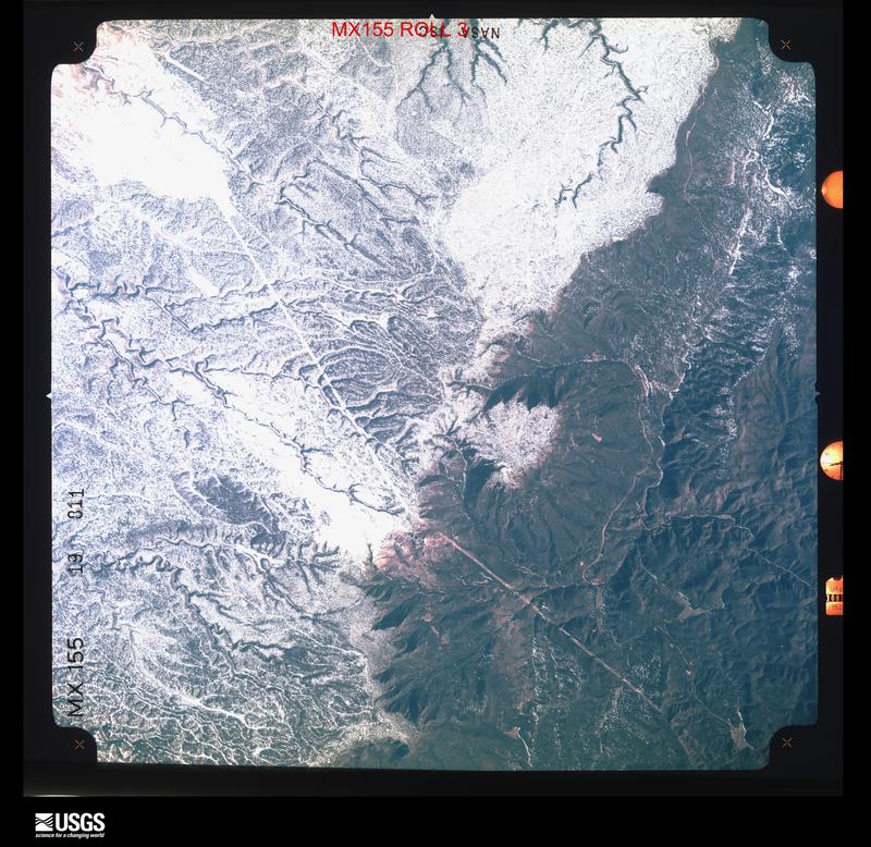
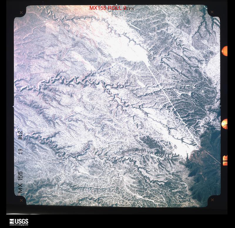
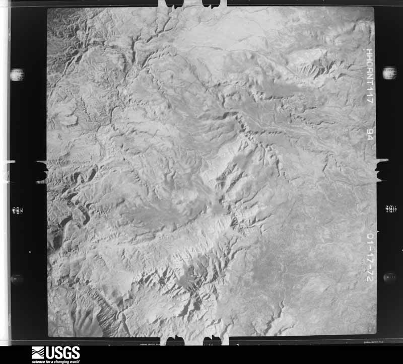
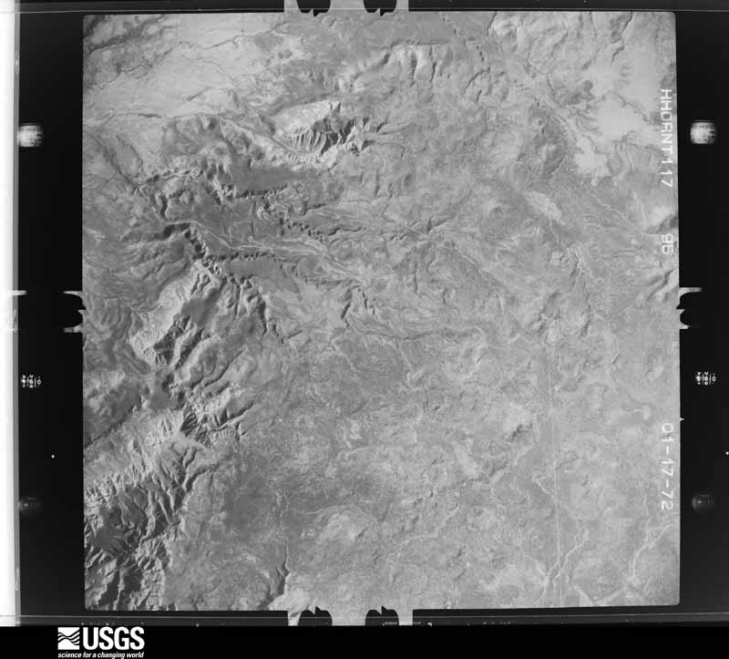
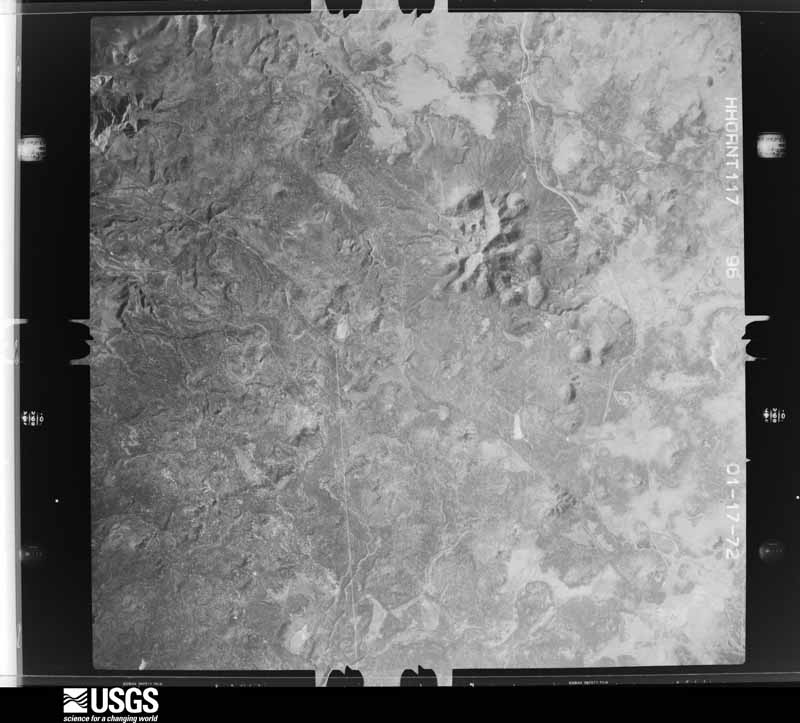
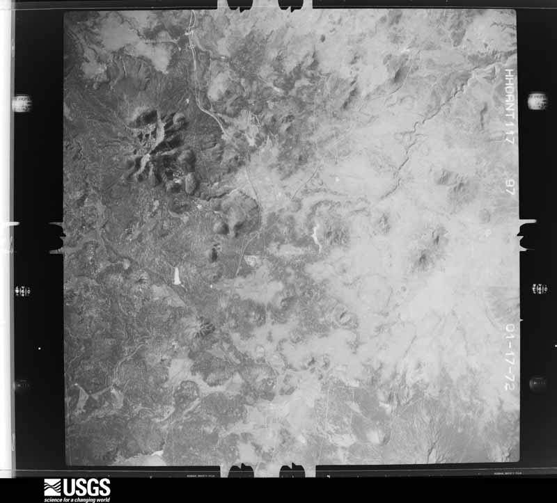
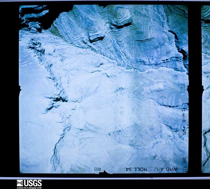
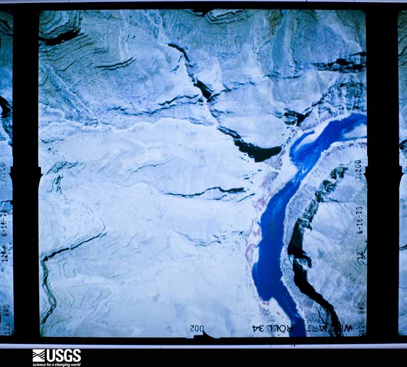
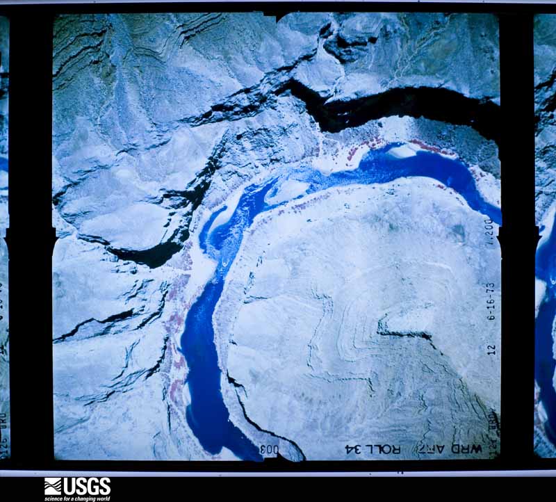
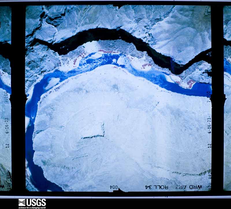
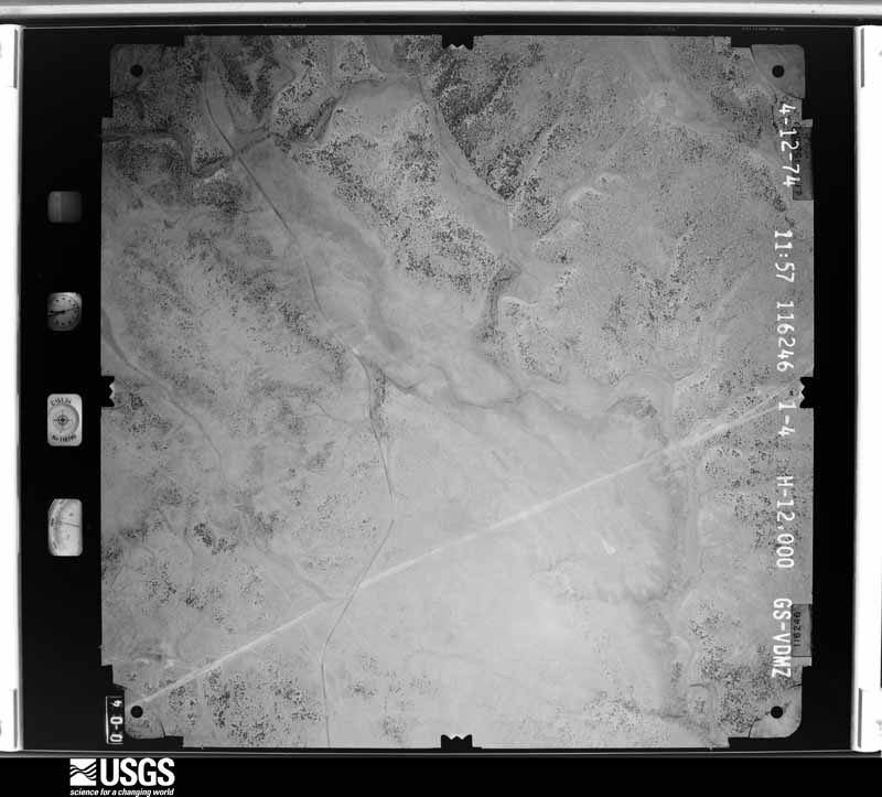
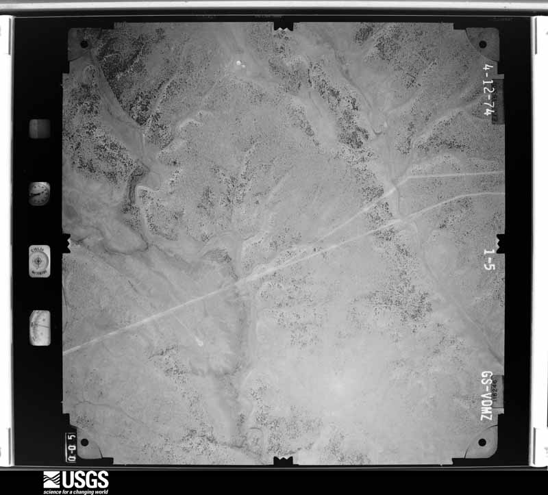
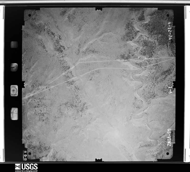
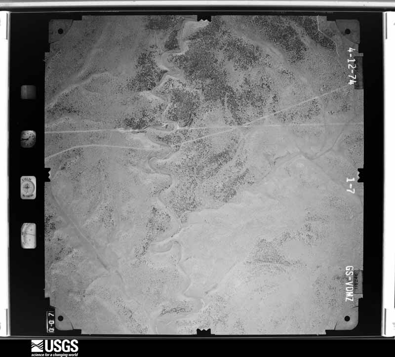
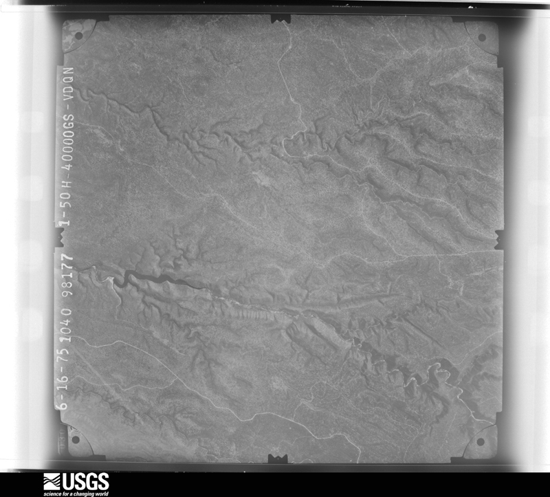
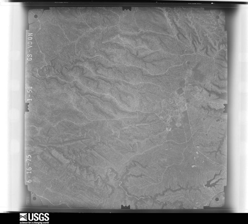
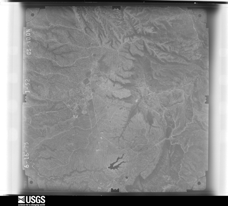
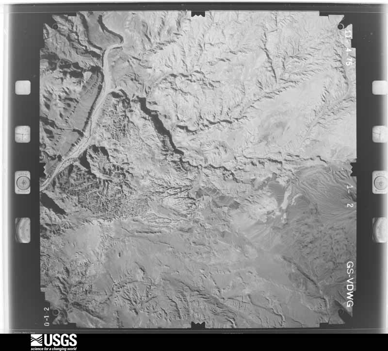
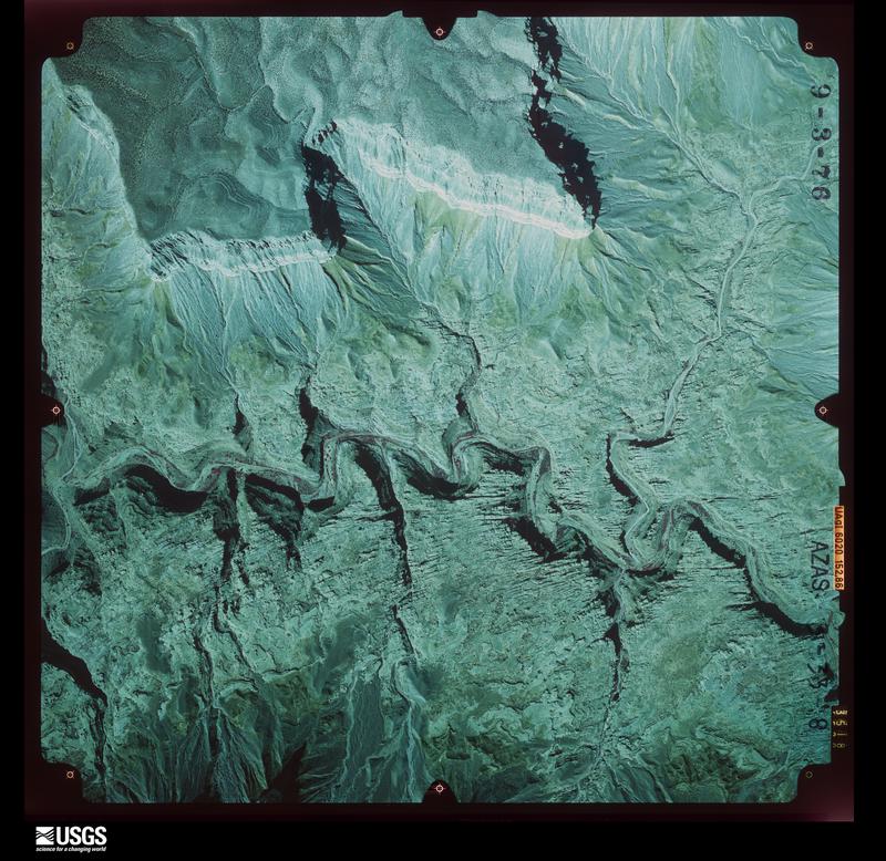
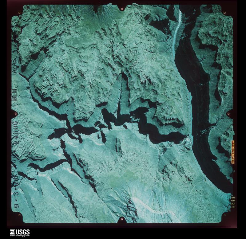
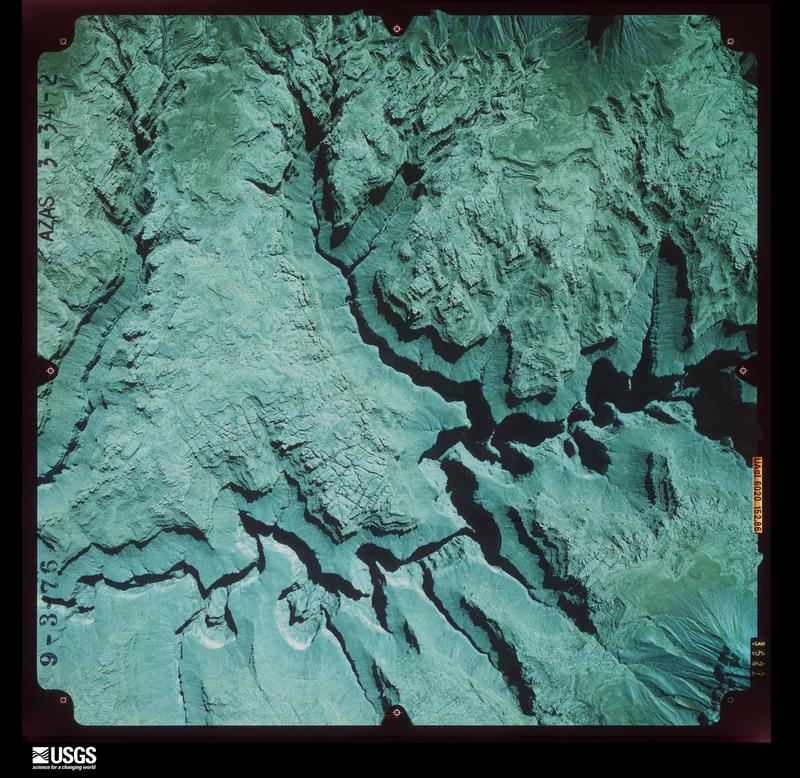
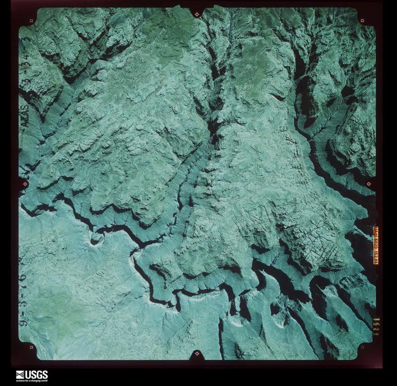
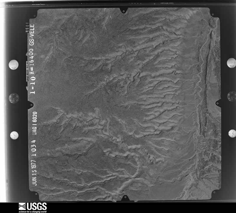
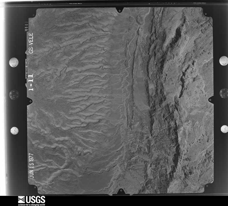
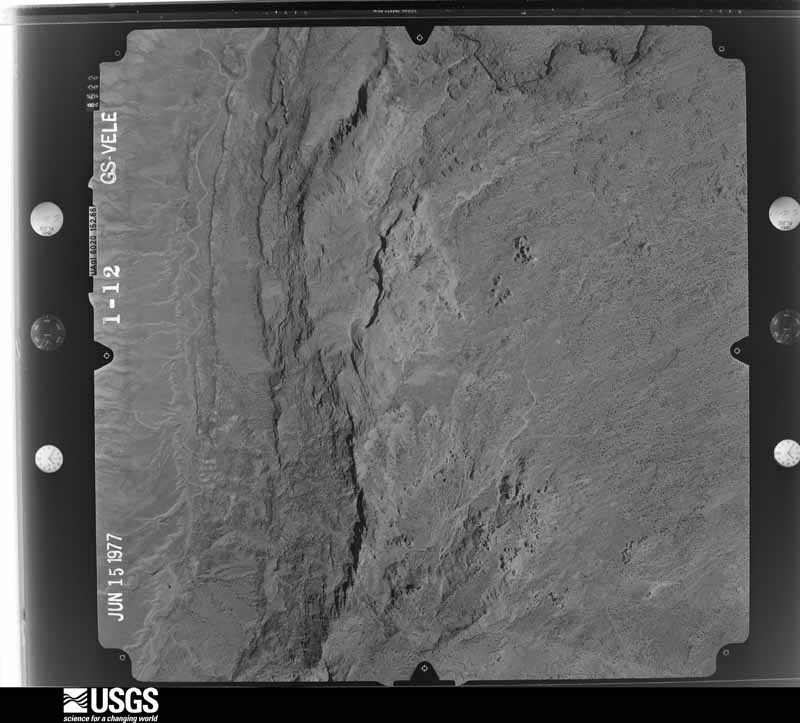
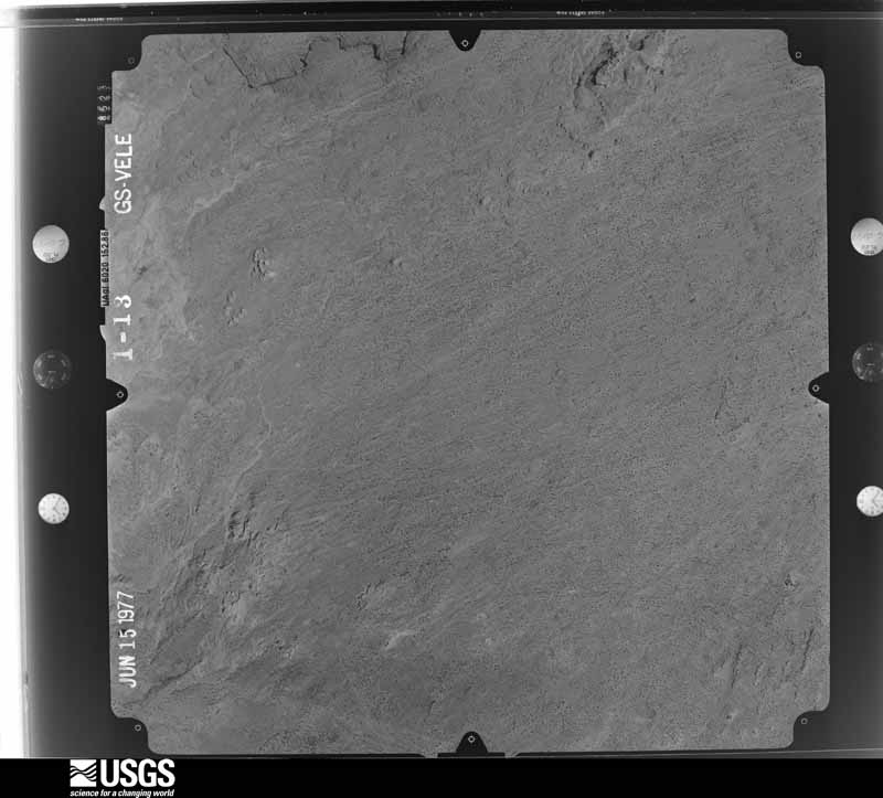
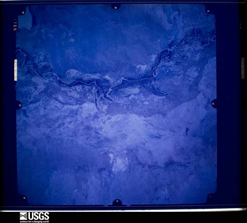
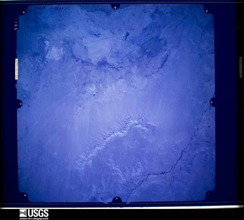
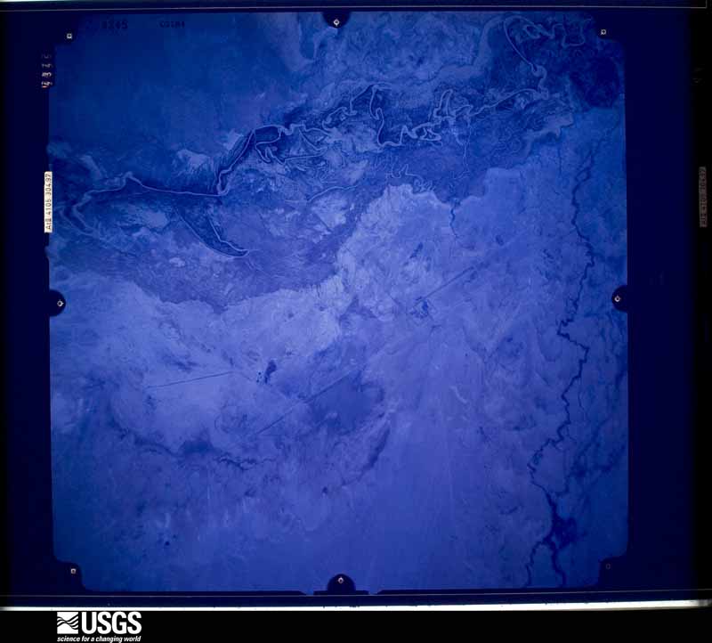
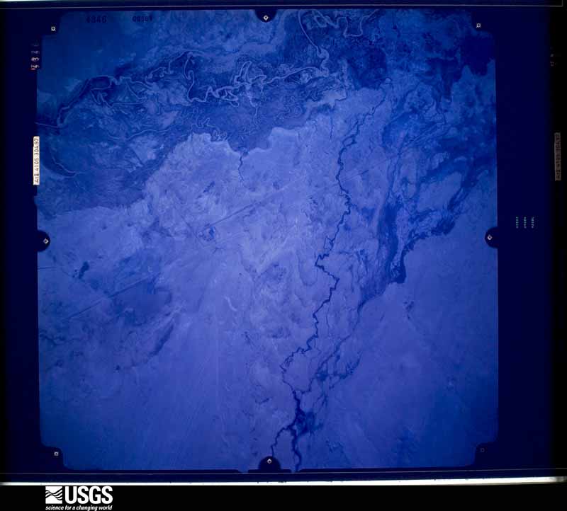
Flown by the U.S. Geological Survey between 1937 and 1989, the Aerial Photo Single Frames collection is the definitive mid-century view of the land: fields, roads and rivers as the camera saw them. The Survey holds 33,487 frames inside the rectangle that bounds this county; the 48 frames below were taken over the county itself, chosen across the decades of flights (at most four a year from that rectangle), so one flight cannot crowd out the rest. The full set is free to browse and download at EarthExplorer under the dataset Aerial Photo Single Frames.
The thermometers that kept this county's weather, and the gages that measured the flow of its streams, as the federal records hold them. The extremes below are measured values from those records, not estimates.
Who lived here in 1950, one enumeration district at a time, as the Census Bureau described each district. Each row opens its official National Archives result, with Population Schedules and ED Maps available there.
Every wildfire the federal occurrence database records inside this county: 18,536 of them, burning about 1,080,927 acres. 11,576 started naturally and 263 were recorded as arson. Each settlement page carries the fires within five miles of it.
| Reported cause | Fires |
|---|---|
| Natural | 11576 |
| Recreation and ceremony | 3491 |
| Missing data/not specified/undetermined | 1955 |
| Smoking | 399 |
| Equipment and vehicle use | 291 |
| Debris and open burning | 286 |
| Arson/incendiarism | 263 |
| Misuse of fire by a minor | 131 |
| Railroad operations and maintenance | 59 |
| Power generation/transmission/distribution | 43 |
| Fireworks | 30 |
| Other causes | 10 |
| Firearms and explosives use | 2 |
The five largest, by the area the report gives. None of them was recorded as arson.
| Date | Cause | Size | Reported by | Name on the report |
|---|---|---|---|---|
| 8 June 2020 | Missing data/not specified/undetermined | 71,450 acres | Kaibab National Forest | MANGUM |
| 8 June 2006 | Natural | 58,630 acres | Kaibab National Forest | WARM |
| 20 June 1996 | Natural | 35,907 acres | Kaibab National Forest | BRIDGER KNOLL |
| 29 May 2016 | Natural | 33,850 acres | Coconino National Forest | JACK |
| 14 June 2015 | Natural | 23,885 acres | Coconino National Forest | CAMILLO |
| 20 May 2014 | Missing data/not specified/undetermined | 22,077 acres | Coconino National Forest | SLIDE |
| 12 July 2019 | Natural | 19,368 acres | Kaibab National Forest | CASTLE |
| 1 June 2017 | Natural | 17,788 acres | Coconino National Forest | BOUNDARY |
Every settlement page carries the fires within five miles of it - see the settlement index below.
The NOAA Storm Events Database holds 784 reports for this county, causing 31 deaths, 74 injuries and about $35,116,860 in recorded property damage. Each settlement page carries the reports that name it.
| Kind of event | Reports |
|---|---|
| Flash Flood | 278 |
| Hail | 177 |
| Heavy Rain | 108 |
| Thunderstorm Wind | 51 |
| Tornado | 48 |
| Flood | 47 |
| Funnel Cloud | 35 |
| Lightning | 19 |
| Wildfire | 18 |
| Dust Devil | 2 |
| Waterspout | 1 |
The most serious of them, by death, then injury, then recorded damage. The accounts are quoted exactly as the forecast office filed them.
| When | Event | Place named | Harm | What the report says |
|---|---|---|---|---|
| August 1997 | Flash Flood | Page | 11 killed, 1 hurt | Eleven hikers and tourists were drowned by a flash flood in a narrow slot canyon 5 miles southeast of Page. A severe thunderstorm 3 to 5 miles upstream produced very heavy rain causing a 10-30 foot wall of water to crash down Antelope Canyon. In the area of the flood fatalities the depth and width of Antelope Canyon varies from about 20 feet across and 30 feet deep to points where it is 200 feet deep but only two (2) feet across. It is a popular site for hiking and photography where access is via rope ladders controlled by Navajo Nation representatives. The eleven who died and a tour guide were warned not to enter the canyon because of the flood potential from an approaching thunderstorm. The tour guide alone survived after being carried several miles downstream by the flood. |
| August 2001 | Flash Flood | Supai | 3 killed | A two year old boy and his parents were killed in a flash flood while hiking in Havasu Canyon. Two other family members had reached the the safety of Havasupai Village before the late night storm hit. |
| July 2013 | Lightning | Jacob Lake | 2 killed, 1 hurt | Lightning struck three people at LeFavre Scenic Overlook along Highway 89 about eight miles north of Jacobs Lake. Two people died and the third person sustained non-life-threatening injuries. |
| September 1997 | Flash Flood | Grand Canyon Arpt | 2 killed, 1 hurt | A Flash Flood on Phantom Creek killed two people and injured a third person. Runoff from the heavy rain associated with a thunderstorm several miles north of the flash flood site caught the three people as they were crossing Phantom Creek. All three attempted to save themselves by crouching behind a large boulder, but chest-deep water carried them downstream. The bodies of the two who were killed were found several weeks later, miles downstream in the Colorado River. The survivor was carried one quarter mile down Phantom Creek then another quarter mile down Bright Angel Creek before he was able to escape and hike out of the canyon. |
| August 2001 | Flash Flood | The Gap | 2 killed | Two people died while hiking in a slot canyon when a flash flood washed them down stream. The two were long overdue from a hiking trip when searchers began looking for them. The last entry in a personal journal, dated August 7, indicated that they were going to hike up a slot canyon 16 miles southwest of The Gap. The canyon is marked by steep cliff walls that offer no escape to higher ground in the event of a flash flood. Their bodies were found over 16 days later. |
| June 2015 | Lightning | Washington Park | 1 killed, 7 hurt | A group of hikers that was caught in a thunderstorm took shelter under a stand of Ponderosa pine trees. Initial reports from on-scene deputies indicated that lightning struck one of the pine trees where the group was standing and knocked most of them to the ground. Members of the group attempted to resuscitate a 24-year-old female, who was not breathing. However, they were unsuccessful and she died at the scene. It does not appear the lightning strike hit anyone directly. Seven others were injured, one critically. |
| August 2011 | Lightning | Phantom Ranch | 1 killed, 5 hurt | Lightning killed a 64-year-old woman visiting the Grand Canyon National Park. It is unclear if the lightning directly hit the victim. Five additional park visitors, ages 45 to 68, were also injured. The event took place at Mohave Point. |
| July 2021 | Flash Flood | North Rim | 1 killed, 4 hurt | A flash flood rushed down the Tatahatso Wash/Slot Canyon into the Colorado River (38 miles down stream from Lees Ferry). A commercial river trip with 30 people and two large raft had set up camp at the mouth of the wash for the night. The flash flood washed away the camp. Four people were injured and one person died. |
| July 2016 | Lightning | Sunset Crater | 1 killed, 2 hurt | Three young men were struck by lightning within minutes of reaching the summit of Humphreys Peak (12,633 feet above mean sea level). Two of them men were injured and one died. |
| July 2010 | Flash Flood | Cosnino | 1 killed, $2,000,000 | Heavy rain over the Schultz Fire burn area caused extensive flash flooding on both sides of Highway 89 northeast of Flagstaff. A 12 year old girl was swept away in the flood waters and drowned. Two rain gauges within the burn area reported 1.48 and 1.78 inches of rain in 52 minutes and 62 minutes respectively. The flood waters, ash, mud, debris, and rocks 2-3 feet in diameter covered roads, properties, and entered homes. Highway 89 was closed as were the main roads west of Highway 89. The water slowed down once it crossed Highway 89. However, the heavy silt prevented the water from percolating into the cinders east of Highway 89. The flood waters flowed across the road leading to the Flagstaff City Dump and eventually into a few dozen homes south of the dump. In all, as many as 85 homes were damaged by the flooding. |
| August 2024 | Flash Flood | Havasupai | 1 killed, $1,000,000 | Heavy rain fell over the Catract Creek and Havasu Creek drainages. Radar estimated 1-2 of rain fell early in the afternoon of August 22nd. Flash flooding occurred which resulted in many people being evacuated from the campgrounds on the creek, with helicopter evacuations for people stranded at the remote village of Supai. At least 6 homes had flood damage in the Village of Supai. Over 100 campers were stranded in the campground. One person was washed away near the confluence with the Colorado River. Her body was recovered over 18 miles down the Colorado River three days later. |
| July 2021 | Flash Flood | (Pga)Page Arpt | 1 killed | A family of 5 was hit by a flash flood in Labyrinth Canyon that drains into Lake Powell. The wife and mother drowned. |
| July 2021 | Flash Flood | East Red Lake | 1 killed | A vehicle was caught in the flood waters of Dinnebito Wash near Route 6720 and Saltwater Wash. There was one fatality and two others trapped in the water. This was located about 72 air miles downstream from the headwaters of this wash. |
| July 2021 | Flash Flood | East Red Lake | 1 killed | A vehicle was caught in the flood waters of Dinnebito Wash near Route 6720 and Saltwater Wash. There was one fatality and two others trapped in the water. This was located about 72 air miles downstream from the headwaters of this wash. |
| September 2015 | Lightning | Phantom Ranch | 1 killed | A man was struck by lightning while hiking the South Kaibab Trail near Ooh Aah Point (about mile down the trail from the Rim). Paramedics were unable to resuscitate him. |
| July 2006 | Lightning | Page Wahweap Arpt | 1 killed | A 45 year old man was struck and killed by lightning about 200 yards off the Wahweap Marina. |
| October 2010 | Tornado (EF2) | Bellemont | 7 hurt, $1,000,000 | Considerable structural damage in and around the community of Bellemont; significant forest damage and treefall in forest north and south of Bellemont. This tornado was from the same storm that produced Tornado #2. Aerial and ground surveys verified a semi-continuous tornado path from 8 miles south of Bellemont, extending northward for 26 miles, crossing Interstate 40 and Highway 180 (three times- near mileposts 230, 234, and 240). Tornado passed 2/3 mile east of the NWS Bellemont Weather Forecast office. Damage from this tornado included:|-7 minor injuries.|-Over 100 homes damaged in Bellemont, 21 homes sustaining significant damage (deemed uninhabitable).|-At least one business (RV Sales) with damage with 30+ RV units demolished and tossed onto Interstate 40. Interstate closed for several hours.|-At least one overturned truck on the Interstate.|-Numerous forest roads blocked, campers stranded by fallen trees. |-Around 75 power poles knocked down. |
| July 2017 | Lightning | Bellemont | 7 hurt | Lightning struck and injured seven military personnel while they were working on a grounded helicopter on Camp Navajo Army Depot. All seven were treated and released. |
| August 2000 | Lightning | Grand Canyon N P Arpt | 7 hurt | no account filed |
| October 2024 | Hail | Bellemont | 5 hurt | BB to pea sized hail covered the ground and Interstate 40 an inch or two deep. At least |seven vehicles slid off the road. Several vehicles crashed into each other. |
| July 2010 | Flash Flood | (Pga)Page Arpt | 5 hurt | Heavy rain from thunderstorms caused flash flooding in Antelope Canyon. People were stranded on ledges in this slot canyon when a four and a half foot wall of water came rushing through the canyon. Five members of a 12 member Swiss tourist group were injured. A woman and her 9 year old son sustained scrapes and busies as they were washed downstream. Three men were also injured. A second wall of water came rushing through the canyon after the people were rescued. |
| July 1999 | Flash Flood | Grand Canyon Arpt | 4 hurt, $2,500,000 | Repeat thunderstorms over the Grand Canyon National Park produced some the worst flash flooding seen in years. Severe damage was done to the Bright Angel and North Kaibab hiking trails, forcing their closure for nearly two weeks. Flood waters also undermined a major water supply line to the South Rim. Conservative damage and repair amounts are $2.5 million. The injuries included one broken leg, and three with lacerations. In addition 26 campers were airlifted out of the canyon due to the trail washouts. |
| July 2013 | Lightning | Phantom Ranch | 4 hurt | At approximately 1:00 p.m. on Monday, July 15 a lightning strike near Mather Point resulted in several visitors reporting injuries to the Grand Canyon Visitors Center. The group of visitors was standing near the Rim when the lightning strike occurred. Four individuals were transported to the South Rim Clinic for evaluation of non-life-threatening injuries. |
| October 2025 | Lightning | Sunset Crater | 2 hurt | Law Enforcement reported 2 hikers injured from a lightning strike on Humphreys Peak. Time of event estimated on radar. |
| August 2024 | Lightning | Page | 2 hurt | Two people were injured by lightning near the Rim Overlook at Horseshoe Bend. |
| October 2010 | Lightning | Phantom Ranch | 2 hurt | Two women were struck by lightning while standing on the South Rim of the Grand Canyon east of the Visitors Center. Both women were taken to medical facilities, treated, and released. |
| July 2008 | Lightning | Sunnyside | 2 hurt | Lightning struck an 80-foot tall ponderosa pine tree and at least one of two golfers on a local golf course. The upper 60 feet of the pine tree was blown apart. Both men were hospitalized and one was in critical condition. |
| September 1997 | Lightning | Grand Canyon Arpt | 2 hurt | Two German visitors to Grand Canyon National Park were struck by lightning as they observed a thunderstorm from an isolated point overlooking the Grand Canyon. The adult male was seriously injured. The adult female received minor injuries. |
| August 1996 | Flood | Williams | 1 hurt, $1,000 | no account filed |
| July 2008 | Lightning | Flagstaff | 1 hurt | A man was working on a fence when lightning hit nearby or hit the fence. The jolt knocked the man away and ripped the glove off his hand. He had numbness and tingling in his arm. He was transported to the hospital for observation. |
| September 2006 | Lightning | Flagstaff | 1 hurt | An eighteen year old Northern Arizona University student was struck by lightning while on an athletic field. He was critically injured. |
| October 2002 | Hail | Flagstaff | 1 hurt | A thunderstorm dropped 1.00 to 1.50 inch diameter hail from east Flagstaff to Doney Park. A car window was broken and the driver received a lump on his arm from the hail. |
| August 2008 | Flash Flood | Havasupai | $10,000,000 | Heavy rain from thunderstorms over the Cataract Creek and Havasu Creek drainages caused flash flooding that started in the Village of Supai around 11:30 PM on August 16. Radar estimated between 3 and 4 inches of rain over several square miles in the Cataract Creek drainage during the afternoon. Additional heavy rain from thunderstorms on August 17 continued heavy run off into the canyon. Cataract Canyon/Creek becomes Havasu Canyon/Creek at Havasu Springs about a mile upstream from the Village of Supai. This very popular destination for tourists was closed for at least 6 months because of the heavy damage caused by the flash flooding. |
| August 2023 | Flash Flood | Tusayan | $7,000,000 | Between 1 to 2.5 inches of rain fell in around two hours just east and northeast of the town of Tusayan and the South Entrance to The Grand Canyon National Park. This caused significant flooding of homes homes, buildings, and cars. Highway 64 into the GCNP was closed, shelter in place orders were put into place, and children were stuck in their school because they could not safely get home. |
| October 2010 | Flash Flood | Havasupai | $1,630,000 | Supai Police reported a two foot wall of water moving down Hualapai Canyon toward the Village of Supai. The Suapi USGS river gage reported a peak flow of about 600 CFS at around 500 PM. Flash flooding was reported in the campground at around 320 PM. This flood water may have been from side canyons and from Havasu Creek. Campers, 143 in all, in the campground were air lifted to safety. Three tribal pack animals were killed by the flash flood. The canyon was closed to tourists indefinitely due to the damages caused to the trail and campground. The President of the United States declared the Havasupai Canyon a major disaster area and ordered Federal aid to supplement State, Tribal, and local recovery efforts. The estimated cost to replace and repair the damaged or destroyed infrastructure is $1,630,000. |
| July 2010 | Flash Flood | Sunset Crater | $1,200,000 | Heavy rain from a thunderstorm caused another round of flash flooding, mud and debris flows, closed roads, and more damage to homes. Water flowed over Highway 89, Land Fill Road, and entered homes on the east side of Highway 89. Some homes had two to three feet of water inside. |
| August 2022 | Flash Flood | Flagstaff | $1,000,000 | The Schultz Creek gauge showed a 5 foot rise in about 30 minutes. The upstream rain gauge measured 0.71 inches in 30 minutes. The Flagstaff Emergency Manager reported 1.5-2 feet of water from Schultz Creek flowing over Mt Elden Road. This flow over toped portions of Highway 180 closing both lanes.||This event was larger than the previous flood event in this area. Several dozen homes were directly impacted by the flood waters and several streets are impassable due to mud and flood waters. Highway 180 (primary access to Flagstaff from the northwest was close form around 1230 PM through at least 300 PM MST.||Flooding had severe impacts for the ongoing construction projects, public infrastructure and private property in the area. Multiple streets in Coconino Estates were inundated with 6-12 of water including Meade, Anderson, and Navajo. Stevanna Way was also inundated with over 2 of water in places. Water overtopped Frances Short Pond. Minor flooding occurred along the Rio de Flag between Dale and Cherry, but overall |floodwaters stayed within the channel downstream of Frances Short Pond. Impacts were also felt upstream of Mt. Elden Lookout Road where portions of the road and existing COF water infrastructure were damaged. Creighton Estates saw minor overtopping around 2-3 deep. |
| July 2022 | Flash Flood | Flagstaff | $1,000,000 | Heavy rain over the Pipeline/Tunnel (2022) and Schultz Fire (2010) scars caused extensive flash flooding northwest through northeast of Flagstaff. Highway 89 northeast of Flagstaff was closed in both directions around mile post 425 around 442 PM MST. The following roads in far northeast Flagstaff were flooded: Copeland Lane, Gunman Road, Vista de Oro, Pioneer Valley Road, and Neptune Drive. Highway 180 northwest of Flagstaff was closed in both directions around MP 218 at 419 PM. The Stevanna Way and Coconino Estates neighborhoods on the northwest side of Flagstaff flooded with apartments, homes, and streets impacted. |
| September 2011 | Flash Flood | Cosnino | $750,000 | Heavy rain caused flash flooding in many of the neighborhoods below the Schultz Fire burn area. Three primary roads were closed and most roads in the affected area were impassable. Water was running 35 feet wide and two feet deep through one residential property. A County Declaration of Emergency was signed in response to this flooding. Portions of rock filled wire baskets that lined one drainage canal collapsed into the the canal and had to be removed and replace. |
| July 2023 | Lightning | Bellemont | $600,000 | Lightning from a Monsoon thunderstorm destroyed a house in Baderville, north of Flagstaff Monday. Summit Fire and Medical crews arrived at the home just after 12:30 p.m. on a report of the roof of the home on fire. As crews got closer to the scene, firefighters could see smoke from Highway 180 and the fire was moved to a first alarm. Initial crews arrived to find heavy smoke coming from the attic of the home. More crews arrived to work the fire, including two water tenders. In all a total of 11 units and two battalion chiefs responded to the fire. There were no injuries to civilians or fire personnel and the home is a total loss (KAFF Country News). |
| September 2023 | Flash Flood | Flagstaff | $500,000 | Heavy rain over Agassiz Peak caused a flash flood on the northeastern side of the peak Peak into Locket Meadow. The water catchment in Snowslide Canyon was plugged with debris and damaged. One of the pump houses in the Inner Basin was damaged. The waterline that provides up to 30 percent of the water in Flagstaff during the summer was exposed and damaged in several locations. The access road around the water houses on Waterline Road was washed out. |
| August 2022 | Flash Flood | Flagstaff | $500,000 | Heavy rain over the Pipeline Fire scar (June 2021) caused flash flooding in Schultz Creek. The creek rose 4.84 feet at Highway 180. The water flooded apartments, homes, and streets on the west side of Highway 180. |
| July 2010 | Flash Flood | Sunset Crater | $400,000 | Heavy rain from a thunderstorm over the northern portion of the Schultz Fire burn area caused flash flooding and debris flows. Mud, silt, and debris between 4 inches and 18 inches deep flowed across roads and private property in the Timberline and Hutchinson Acres neighborhoods northeast of Flagstaff. |
| October 2010 | Tornado (EF3) | Kachina Village | $400,000 | This tornado caused extensive forest damage (primarily south of Bellemont), along a discontinuous track which extended from 15 miles south of Bellemont, eventually crossing Hwy 180 northwest of Flagstaff. The path of this tornado was parallel to, and approximately 1 mile west of Tornado #2. Very wide, severe and complete forest damage occurred in the forest south of Bellemont. Tornado visually sighted by NWS staff at the Bellemont Weather Forecast Office.||Tornado passed 1/3 mile west of the NWS Bellemont Weather Forecast office. Additional damage stats include:|-28 rail cars derailed in Bellemont.|-Semi trucks and trailers were overturned on I-40.|-Power poles and numerous trees snapped on Camp Navajo. Some structures damaged.|-Numerous forest roads blocked and campers were stranded by fallen trees. |
| October 2022 | Tornado (EF1) | Perrin | $350,000 | A tornado touched down about 8 miles west-northwest of Williams in the Junipine Estates neighborhood. Ten 10 structures were damaged and or destroyed (homes and outbuildings). One power poll was blown down and the power was out in the entire community. Camping trailers/mobile homes were turn over. Some rooves were blown off houses. |
| August 1997 | Flash Flood | Supai | $300,000 | Heavy rain from training thunderstorms caused a flash flood along Cataract Creek in the village of Supai, capital of the Havasupai Tribe. Power, water and sewage were washed out. Many homes and structures flooded. About 400 campers and residents were evacuated by helicopter. Red cross, BIA, National Guard, the Arizona DPS, a contract helicopter firm, and local law enforcement participated in the evacuation. |
| October 2022 | Flash Flood | Havasupai | $250,000 | The river gauge on Havasu creek near the Colorado River rose 6.7 feet in 15 minutes between 1130 and 1145 PM MST. The river gauge is below/downstream from the Village of Supai. The flood damaged all six bridges in and around Supai Village, some of which were a total loss. The main foot and mule trail to the village was damaged and in need of repair. This 8 mile trail is the only way to the village from a road other than by helicopter. |
| July 2022 | Flash Flood | Flagstaff | $250,000 | Heavy rain fell over the western part of the Pipeline Fire scar (June 2022). This caused Schultz Creek (Dry Lakes gauge) to jump 2.84 feet. This flowed over Mt Elden Road, overwhelmed the drainage system along Highway 180, and flooded apartments and homes along Stevanna Way. |
| July 2021 | Flash Flood | Sunnyside | $250,000 | Heavy rain over the Museum Fire scar caused flash flooding down Spruce Avenue Wash into north central Flagstaff. Debris flows, ash, logs, and flood waters up to three feet deep moved down the wash, over bridges, through streets, and the neighborhoods. |
| July 2022 | Flash Flood | Flagstaff | $200,000 | Heavy rain over the Pipeline Fire scar (2022) resulted in 1-2 feet of water flowing in Schultz Creek, over Mount Elden Road, and overwhelming the culvert at Highway 180, and flowing onto the bike path next to Highway 180. The water flowing over the highway caused a temporary closure. |
| August 2010 | Flash Flood | Sunset Crater | $200,000 | Heavy rain over the Schultz Fire burn area caused flash flooding in the neighborhoods to the east. Several roads were flooded including Highway 89. There was a large debris flow though Siesta Wash making roads impassable. Berms that were made to redirect flood waters east of Highway 89 were temporarily breached. |
| July 2010 | Flash Flood | Sunset Crater | $200,000 | Another round of flash flooding impacted the Schultz Fire burn area eastward into Doney Park. |
| October 2010 | Tornado (EF3) | Moenkopi | $200,000 | A tornado collapsed three 500 KV electrical transmission towers. The towers were of metal truss construction. One tower was completely flattened. Photographic evidence and first-hand reports were provided by Arizona Public Service. Tornado damage intensity is rated at EF-3. Damage path length indeterminable. |
| July 2023 | Thunderstorm Wind | Page | $100,000 | Strong winds broke large tree limbs, uprooted trees, blew shingles off structures, and caused power outages for much of the city of Page. |
| June 2022 | Flash Flood | Sunset Crater | $100,000 | Heavy rain fell over the Pipeline Fire scar (June 2022) and caused flooding on Highway 89 southbound near road NF-9122H. Flooding also was seen in the Wupatki Trails neighborhood on Camio de los Vientos. Homes and roads were impacted by the flood waters. |
| July 2021 | Flash Flood | Sunnyside | $100,000 | Heavy rain over the southern slopes of Mt Elden caused flash flooding in northeast Flagstaff. The water overwhelmed drainage systems and was flowing rapidly down streets (up to two feet deep). A video on social media showed a Prius floating down the street and crashing into a full sized pick-up truck. Water was flowing 6 feet deep in a low water crossing. Famous Route 66 had 2 feet of water flowing over it in town. |
| July 2018 | Flash Flood | Sunset Crater | $100,000 | Heavy rain from thunderstorms caused flash flooding in the northern drainages of the Schultz Fire scar. The impacts were along Copeland Avenue northward to Wupatki Trails. Water was flowing over roads and drainage ditches were overtopped. ||A public rain gauge reported 1.80 inches of rain in less than 3 hours ending at 0400 PM MST.||Radar and other rain gauges estimated between 3 and 5.90 inches of rain over parts of the area. This represents between a 100 year and a 1000 year rainfall event. ||Three homes had flood damage inside, other structures and outbuildings suffered flood damage, and 2 residences requested debris removal. Coconino County road crews spent up to 2 weeks removing debris, mud, and rocks from water channels and roads. |
| June 2022 | Flash Flood | Flagstaff | $60,000 | Heavy rain flooded the Milton/Route 66 under the railroad overpass in downtown Flagstaff. Cars were caught in the flood water. |
| August 2022 | Flash Flood | Sunset Crater | $50,000 | Heavy rain over the Pipeline, Tunnel, and Schultz fire scars caused flash flooding in the area that closed Highway 89 in both directions. |
| August 2022 | Flash Flood | Sunset Crater | $50,000 | A flash flood was reported on Highway 89 about 8 miles northeast of Doney Park (mile post 430...north of Wupatki Trails and south of the Sunset Crater turnoff). The highway was closed in both directions. Flooding also overtopped the highway at Brandis Way. |
The Survey's mineral resources record lists 491 workings inside this county. 27 still produce and 464 are closed or unrecorded. Each settlement page carries the workings within five miles of it.
| Commodity | Workings |
|---|---|
| Pumice | 104 |
| Sand and Gravel, Construction | 94 |
| Uranium | 87 |
| Volcanic Materials | 83 |
| Copper | 31 |
| Manganese | 28 |
| Bentonite | 9 |
| Molybdenum | 8 |
| Limestone, General | 7 |
| Perlite | 7 |
| Copper, Molybdenum | 5 |
| Clay | 5 |
| Stone, Dimension | 5 |
| Molybdenum, Copper | 4 |
The least common of them first, because a county's hundredth gravel pit says nothing its first ten did not.
| Where | Site | Commodity | Status | Recorded |
|---|---|---|---|---|
| Anita | Copper, Germanium, Iron, Dolomite | Past Producer | ||
| Anita Copper Deposit | Copper, Uranium, Iron, Silver | Past Producer | 1907, 1956 | |
| Bridal Veil Claim | Vanadium, Lead, Zinc, Copper | Occurrence | ||
| Bridal Veil Mines | Lead, Zinc, Vanadium, Silver | Past Producer | ||
| Carbonate Canyon Calcite | Lead, Semiprecious Gemstone | Past Producer | ||
| Cataract Canyon | Silver, Platinum | Occurrence | 1900 | |
| Coal Mine Canyon | Kaolin | Occurrence | Sedimentary | |
| Copper Canyon Mine | Copper, Silver, Lead | Past Producer | Bornite, Chalcocite, Chalcopyrite, Chrysocolla, Cuprite, Malachite | |
| Diamond Occurrences | Diamond, Graphite | Occurrence | Graphite | |
| Elden Mtn. | Marble, Dimension | Occurrence | ||
| Gould Flagstone | Limestone, Dimension | Past Producer | ||
| Grandview | Copper, Uranium, Calcium, Kaolin, Iron, Silver, Tellurium, Selenium | Unknown | ||
| Hosten Nez and Yellow Jeep Prospects | Uranium, Manganese, Vanadium | Past Producer | Replacement | |
| Humphrey Peak No.1 | Marble, Dimension, Limestone, General | Occurrence | Sedimentary | |
| Lees Ferry | Silica, Semiprecious Gemstone | Producer | Replacement | |
| Lees Ferry Gold | Gold | Occurrence | ||
| Lees Ferry Mercury | Mercury | Occurrence | ||
| Little Dick Claim | Copper, Silver, Gold | Past Producer | Replacement | |
| Mackin Group | Copper, Iron, Manganese | Past Producer | ||
| Mccormick | Volcanic Materials, Perlite, Uranium | Occurrence | Cinders, Obsidian | |
| Navajo Copper | Copper, Silver | Past Producer | ||
| Orphan Lode Mine | Uranium, Silver, Copper, Zinc, Cobalt, Antimony, Lead, Nickel, Molybdenum, Manganese, Magnesite, Gold, Iron | Past Producer | 1891 | |
| Petroskey Group | Copper, Manganese, Silver, Iron | Past Producer | ||
| Redwing Prospect | Uranium, Copper | Prospect | ||
| Riverview | Vanadium, Uranium, Copper | Past Producer | ||
| Sam Claims | Uranium, Calcium, Copper, Sulfur-Pyrite | Occurrence | ||
| Sillimanite Occurrence | Kyanite | Occurrence | Metamorphic | |
| Snafu Claims | Quartz, Uranium | Prospect | ||
| Sun Valley Mine | Uranium, Copper, Lead, Zinc, Iron, Molybdenum, Rhenium, Cadmium | Past Producer | Galena, Hematite, Jordisite, Pyrite, Sphalerite, Uraninite, Zippeite | |
| Sun Valley Mine | Molybdenum, Rhenium, Uranium | Past Producer | ||
| Vanadium Deposit-M003445 | Vanadium, Copper, Uranium | Occurrence | ||
| Wildcat Hill Pit | Volcanic Materials, Stone, Crushed/Broken | Producer | Cinders | |
| Anita | Lead, Limestone, General | Occurrence | Sedimentary | |
| Barringer | Silica | Past Producer | Sandstone | |
| Black Cat Quarries | Stone, Crushed/Broken, Stone, Dimension | Producer | Sandstone | |
| Copper No. 1 Claim | Copper, Uranium, Iron | Past Producer | Bornite, Chalcocite, Chalcopyrite, Chrysocolla, Covellite, Malachite | |
| Grandview Mine | Copper, Semiprecious Gemstone, Uranium | Past Producer | 1890, 1893, 1916 | |
| Grindstone 1 and 2 | Stone, Dimension, Stone, Crushed/Broken | Producer | Sandstone | |
| Lower Cedar Tank Quarry | Stone, Crushed/Broken, Stone, Dimension | Producer | Sedimentary | |
| Maggie-Baker Riley | Semiprecious Gemstone, Uranium, Vanadium | Past Producer | ||
| Meteor Crater | Silica | Past Producer | ||
| Ridenour Mine | Copper, Uranium, Vanadium | Past Producer | 1913, 1966 | |
| Willaha Group | Copper, Uranium, Iron | Past Producer | Bornite, Chalcocite, Chalcopyrite, Chrysocolla, Covellite, Malachite | |
| Yellow Horse Quarries | Stone, Dimension, Stone, Crushed/Broken | Producer | Sedimentary | |
| Acme Cement Plaster | Gypsum-Anhydrite | Past Producer | ||
| Arizona Mine | Pumice, Volcanic Materials | Past Producer | Pumice | |
| Black Falls Gypsum | Gypsum-Anhydrite | Occurrence | ||
| Central Wash Deposit | Gypsum-Anhydrite | Occurrence | Sedimentary | |
| Lehneer Prospect | Copper, Uranium | Prospect | ||
| More Sand and Moon Sand | Pumice, Volcanic Materials | Producer | Pumice | |
| Vermilion #1 | Copper, Uranium | Prospect | ||
| White Vulcan | Pumice, Volcanic Materials | Producer | Pumice | |
| Bass Asbestos | Asbestos | Past Producer | ||
| Bass Mine | Asbestos | Past Producer | ||
| California Claim | Copper, Silver | Past Producer | Bornite, Chalcocite, Chrysocolla, Cuprite, Malachite | |
| Claims No1-15,Ms&Pat No2192 | Asbestos | Past Producer | ||
| Copper World Mine | Copper, Gold, Silver | Past Producer | Replacement | |
| Grand Pacific Claim | Copper, Silver | Past Producer | 1885, 1967 | |
| Hance Mine | Asbestos | Past Producer | ||
| Huskon # 11 Mine | Uranium, Molybdenum, Copper | Past Producer | Coffinite, Jordisite, Uraninite | |
| Huskon #1 Mine | Uranium, Vanadium, Copper, Molybdenum | Past Producer | Carnotite, Uraninite, Uranophane | |
| Huskon #10 Mine | Uranium, Vanadium, Molybdenum, Copper | Past Producer | 1952 | |
| Huskon #2 Mine | Uranium, Vanadium, Molybdenum, Copper | Past Producer | Carnotite, Uraninite, Uranophane | |
| Huskon #3 Mine | Uranium, Vanadium, Molybdenum, Copper | Past Producer | Carnotite, Uraninite, Uranophane | |
| Kaibab Group | Copper, Gold, Silver | Past Producer | 1942, 1950 | |
| Mackin Group | Copper, Gold, Silver | Past Producer | 1942 | |
| Nannie E Claim | Copper, Silver | Past Producer | Bornite, Chalcocite, Chrysocolla, Cuprite, Malachite | |
| Petoskey Group | Copper, Gold, Silver | Past Producer | 1903, 1963 | |
| Basalt Quarries | Stone, Dimension | Past Producer | Basalt | |
| Flagstone Quarries | Stone, Dimension | Producer | ||
| Jasper Group | Uranium, Copper, Molybdenum | Occurrence | Torbernite | |
| Jasper Group | Uranium, Copper, Molybdenum | Prospect | ||
| Mc Canyon Quarries | Stone, Dimension | Producer | ||
| Rattlesnake Quarries | Stone, Dimension | Producer | ||
| Riverview Mine | Uranium, Copper, Molybdenum | Past Producer | Malachite | |
| Rogers Lake | Clay | Occurrence | Residual | |
| Rogers Lake | Clay | Occurrence | ||
| Sidewinder Quarries | Stone, Dimension | Producer | ||
| Unidentified Clay Occurrence | Clay | Occurrence | ||
| Unidentified Clay Occurrence | Clay | Occurrence | ||
| Unidentified Clay Occurrence. | Clay | Occurrence | ||
| Vermilion No.1 Mine | Uranium, Copper, Molybdenum | Past Producer | ||
| Black Pit | Perlite | Producer | ||
| Blackhills Pit | Perlite | Producer | ||
| Darling Pit | Perlite | Producer | ||
| Limestone Occurrence | Limestone, General | Occurrence | Sedimentary | |
| Limestone Occurrence | Limestone, General | Occurrence | Sedimentary | |
| Limestone Occurrence | Limestone, General | Occurrence | Sedimentary | |
| Limestone Occurrence | Limestone, General | Occurrence | Sedimentary | |
| Mccormick | Perlite, Uranium | Past Producer | ||
| Pit 1042 | Perlite | Past Producer | ||
| Red Hill Pit | Perlite | Producer | ||
| Sheep Pit | Perlite | Producer | ||
| Shonto Area | Limestone, General | Occurrence | Sedimentary | |
| Winona No. 1 | Limestone, General | Occurrence | Sedimentary | |
| Alyce Tolino | Uranium, Molybdenum | Past Producer | ||
| Alyce Tolino Mine | Uranium, Molybdenum | Past Producer | Carnotite, Ilsemannite, Umohoite, Uraninite, Uranophane, Zippeite | |
| E. Lee No. 1 Claim | Uranium, Molybdenum | Past Producer | Carnotite, Uraninite, Uranophane, Zippeite | |
| Huskon No. 17 Claim | Uranium, Molybdenum | Past Producer | Carnotite, Uraninite, Uranophane, Zippeite | |
| Huskon No. 5 Mine | Uranium, Molybdenum | Past Producer | Carnotite, Uraninite, Uranophane, Zippeite | |
| Jack Daniels No. 1 | Uranium, Molybdenum | Past Producer | Uraninite, Uranophane, Zippeite | |
| Ramco No. 21 Claim | Uranium, Molybdenum | Past Producer | Carnotite, Uraninite, Uranophane, Zippeite | |
| Ramco Nos. 20 and 22 Claims | Uranium, Molybdenum | Past Producer | Carnotite, Uraninite, Uranophane, Zippeite | |
| Black Point | Bentonite | Occurrence | Bentonite | |
| Echo Cliffs | Bentonite | Occurrence | Bentonite | |
| Echo Cliffs Clay | Bentonite | Occurrence | ||
| Foot of Echo Cliffs Area Bentonite | Bentonite | Occurrence | Bentonite | |
| Leupp Area Canyon | Bentonite | Occurrence | Bentonite | |
| Moenkopi Wash | Bentonite | Occurrence | ||
| Unnamed Bentonite Occurrence | Bentonite | Occurrence | Bentonite | |
| Unnamed Bentonite Occurrence | Bentonite | Occurrence | Bentonite | |
| Willow Springs Area | Bentonite | Occurrence | Bentonite | |
| Adams-Woodie Prospect | Manganese | Prospect | 1963 | |
| Black Dike Mine | Manganese | Occurrence | Replacement | |
| Black Eagle No1-6 | Manganese | Unknown | ||
| Blue Ridge Claims | Manganese | Past Producer | 1942 | |
| Blue Ridge Property | Manganese | Past Producer | Psilomelane | |
| Campbell Group | Manganese | Past Producer | Psilomelane | |
| Coconino County Mn Deposits | Manganese | Past Producer | 1918 | |
| Denison Group | Manganese | Past Producer | Psilomelane, Pyrolusite | |
| Denison Group | Manganese | Past Producer | Psilomelane | |
| Denison Group | Manganese | Past Producer | ||
| Hill Crest Group | Manganese | Past Producer | Psilomelane | |
| Hosteen-Nez | Manganese, Uranium | Occurrence | ||
| Hough Manganese | Manganese | Past Producer | ||
| Johnson & Hayden Deposit | Manganese | Past Producer | Surface/Underground | |
| Johnson and Hayden Deposits | Manganese | Past Producer | 1952 | |
| Last Chance Mine | Manganese | Past Producer | ||
| Long Valley Claim | Manganese | Prospect | ||
| Lost Apache Claim | Manganese | Past Producer | Psilomelane | |
| Lost Apache Claim | Manganese | Past Producer | 1952 | |
| Mesa Verde Group and Other Claims | Manganese | Past Producer | Psilomelane | |
| Mesa Verde No5-7,Pat.No4442 | Manganese | Past Producer | ||
| Oregon-Prompter-Tombstone Dist. | Manganese | Past Producer | 1953 | |
| Peach Springs Manganese Mine | Manganese | Occurrence | Replacement | |
| Rainbow Group | Manganese | Past Producer | Psilomelane | |
| Rainbow Group | Manganese | Past Producer | ||
| Shoup Group | Manganese | Past Producer | Psilomelane, Pyrolusite | |
| Star Claim | Manganese | Prospect | ||
| Sunset Mining Claims MS 4531 | Pumice, Manganese | Prospect | ||
| B&B 1 & 11 | Copper | Unknown | ||
| Copper No1 | Copper | Prospect | ||
| Dutchman Claim | Copper | Past Producer | Replacement | |
| Eastern Star Claims MS 1210a | Copper | Past Producer | ||
| Eastern Star Mine | Copper | Past Producer | Vein | |
| El Pequito Mine | Uranium, Copper | Past Producer | Vein | |
| Kaibab | Copper | Past Producer | ||
| Lehneer Prospect | Uranium, Copper | Occurrence | Vein | |
| National N.P.3633 | Copper | Prospect | ||
| Redwing Prospect | Uranium, Copper | Occurrence | Vein | |
| Ridenour Mine | Copper, Uranium | Past Producer | ||
| Southern Star | Copper | Past Producer | ||
| Southern Star Mine | Copper | Past Producer | Vein | |
| Angell No. 1 Cinder Pit | Volcanic Materials | Past Producer | Cinders | |
| Angell No. 2 Cinder Pit | Volcanic Materials | Past Producer | Cinders | |
| Baker Pit | Volcanic Materials | Past Producer | Cinders | |
| Bellemont No. 1 Cinder Pit | Volcanic Materials | Past Producer | ||
| Bellemont No. 2 Cinder Pit | Volcanic Materials | Past Producer | Cinders | |
| Bellemont No. 3 Cinder Pit | Volcanic Materials | Past Producer | ||
| Bellemont No. 4 Cinder Pit | Volcanic Materials | Past Producer | ||
| Bellemont No. 5 Cinder Pit | Volcanic Materials | Past Producer | ||
| Bellemont No. 6 Cinder Pit | Volcanic Materials | Past Producer | ||
| Bellemont No. 7 Cinder Pit | Volcanic Materials | Past Producer | ||
| Cedar Ridge | Volcanic Materials | Occurrence | ||
| Cinder Pit | Volcanic Materials | Past Producer | ||
| Cinder Pit | Volcanic Materials | Past Producer | ||
| Cinder Pit | Volcanic Materials | Past Producer | Cinders | |
| Cinder Pit | Volcanic Materials | Past Producer | Cinders | |
| Cinder Pits | Volcanic Materials | Past Producer | ||
| Cinder Station Cinder Pit | Volcanic Materials | Past Producer | Cinders | |
| Darling Cinder Pit | Volcanic Materials | Producer | ||
| Deadman Wash Area | Volcanic Materials | Past Producer | Pumice | |
| Dutton Hill No. 1 Cinder Pit | Volcanic Materials | Past Producer | Cinders | |
| Eagle Nest No. 1 Cinder Pit | Volcanic Materials | Past Producer | Cinders | |
| Ebert Mountain Cinder Pit | Volcanic Materials | Past Producer | Cinders | |
| Flagstaff East No. 5 Cinder Pit | Volcanic Materials | Past Producer | Cinders | |
| Flagstaff West No. 1 Cinder Pit | Volcanic Materials | Past Producer | Cinders | |
| Flagstaff West No. 2 Cinder Pit | Volcanic Materials | Past Producer | Cinders | |
| Flagstaff West No. 3 Cinder Pit | Volcanic Materials | Past Producer | ||
| Flagstaff West No. 4 Cinder Pit | Volcanic Materials | Past Producer | ||
| Flagstaff West No. 5 Cinder Pit | Volcanic Materials | Past Producer | ||
| Garland Prairie No. 1 Cinder Pit | Volcanic Materials | Past Producer | ||
| Garland Prairie No. 2 Cinder Pit | Volcanic Materials | Past Producer | ||
| Happy Jack No. 1 Cinder Pit | Volcanic Materials | Past Producer | ||
| Happy Jack No. 2 Cinder Pit | Volcanic Materials | Past Producer | ||
| Happy Jack No. 3 Cinder Pit | Volcanic Materials | Past Producer | ||
| Harenberg No. 1 Claim | Volcanic Materials | Past Producer | Cinders | |
| Horse Tank Cinder Pit | Volcanic Materials | Past Producer | Cinders | |
| Horse Trap Mesa No. 1 Cinder Pit | Volcanic Materials | Past Producer | Cinders | |
| Horse Trap Mesa No. 2 Cinder Pit | Volcanic Materials | Past Producer | Cinders | |
| Horse Trap Mesa No. 3 Cinder Pit | Volcanic Materials | Past Producer | Cinders | |
| Humphreys Peak No. 1 Cinder Pit | Volcanic Materials | Past Producer | Cinders | |
| Kendrick Peak No. 1 Cinder Pit | Volcanic Materials | Past Producer | Cinders | |
| Kendrick Peak No. 2 Cinder Pit | Volcanic Materials | Past Producer | Cinders | |
| Kinnikinick Lake | Volcanic Materials | Past Producer | Cinders | |
| Larry's Store | Volcanic Materials | Past Producer | Cinders | |
| Lava Claim | Volcanic Materials | Past Producer | Cinders | |
| Matterhorn No. 1 Cinder Pit | Volcanic Materials | Past Producer | Cinders | |
| Mormon Mtn. No. 1 Cinder Pit | Volcanic Materials | Past Producer | Cinders | |
| North and South Sheba Craters | Volcanic Materials | Occurrence | Cinders | |
| North of Parks | Volcanic Materials | Past Producer | Cinders | |
| O'Leary Peak No. 1 Cinder Pit | Volcanic Materials | Past Producer | Cinders | |
| Parks | Volcanic Materials | Past Producer | Cinders | |
| Pit Tank | Volcanic Materials | Past Producer | Cinders | |
| Pouquette | Volcanic Materials | Occurrence | Cinders | |
| Red Hill Pit | Volcanic Materials | Past Producer | Cinders | |
| Red Lake | Volcanic Materials | Past Producer | Cinders | |
| Section 16 Hill Cinder Pit | Volcanic Materials | Past Producer | Cinders | |
| Sedge Spring Cinder Pit | Volcanic Materials | Past Producer | Cinders | |
| Shadow Mountain | Volcanic Materials | Past Producer | ||
| Sheep Hill | Volcanic Materials | Past Producer | Cinders | |
| Sheep Pit | Volcanic Materials | Producer | Cinders | |
| Slate Mountain Cinder Pit | Volcanic Materials | Past Producer | Cinders | |
| Spitz Spring Cinder Pit | Volcanic Materials | Past Producer | Cinders | |
| Star No. 28 Cinder Pit | Volcanic Materials | Past Producer | Cinders | |
| Star No. 29 Cinder Pit | Volcanic Materials | Past Producer | Cinders | |
| Stoneman Lake No. 1 Cinder Pit | Volcanic Materials | Past Producer | Cinders | |
| Sunset Crater East No. 1 Cinder Pit | Volcanic Materials | Past Producer | Cinders | |
| Sunset Crater East No. 2 Cinder Pit | Volcanic Materials | Past Producer | Cinders | |
| Sunset Crater East No. 3 Cinder Pit | Volcanic Materials | Past Producer | Cinders | |
| Sunset Crater East No. 4 Cinder Pit | Volcanic Materials | Past Producer | Cinders | |
| Three Sisters Cinder Pit | Volcanic Materials | Past Producer | Cinders | |
| Turkey Hills Cinder Pit | Volcanic Materials | Past Producer | Cinders | |
| Volunteer Mountain | Volcanic Materials | Occurrence | ||
| West Side | Volcanic Materials | Past Producer | Cinders | |
| White Horse Hills No. 1 Cinder Pit | Volcanic Materials | Past Producer | Cinders | |
| Willaims No. 7 Cinder Pit | Volcanic Materials | Past Producer | Cinders | |
| Williams No. 10 Cinder Pit | Volcanic Materials | Past Producer | Cinders | |
| Williams No. 2 Cinder Pit | Volcanic Materials | Past Producer | Cinders | |
| Williams No. 3 Cinder Pit | Volcanic Materials | Past Producer | Cinders | |
| Williams No. 6 Cinder Pit | Volcanic Materials | Past Producer | Cinders | |
| Williams No. 8 Cinder Pit | Volcanic Materials | Past Producer | Cinders | |
| Williams No. 9 Cinder Pit | Volcanic Materials | Past Producer | Cinders | |
| Winona - North | Volcanic Materials | Past Producer | ||
| Winona - South | Volcanic Materials | Past Producer | ||
| Wright Hill Cinder Pit | Volcanic Materials | Past Producer | Cinders | |
| A & B No2 | Uranium | Past Producer | ||
| A & B No3 | Uranium | Past Producer | ||
| Blackwood Oil | Uranium | Occurrence | ||
| Boyd Tisi 2 - Juan Horse 3 | Uranium | Past Producer | ||
| Casey No3 | Uranium | Past Producer | ||
| Charles Huskon 18 | Uranium | Past Producer | ||
| Charles Huskon 20 - Evans Huskon 34 | Uranium | Past Producer | ||
| Charles Huskon 4 -Paul Huskie 3 | Uranium | Past Producer | ||
| Charles Huskon No. 4 and Paul Huskie No. 3 Claim | Uranium | Past Producer | Carnotite, Uraninite, Uranophane, Zippeite | |
| Charles Huskon No3 | Uranium | Unknown | ||
| Chesser Lease | Uranium | Past Producer | ||
| E.Lee 1 - Julius Chee 4 | Uranium | Past Producer | ||
| E.Lee 3 - J. Semallie | Uranium | Past Producer | ||
| El Pequito | Uranium | Past Producer | ||
| Elwood Thompson | Uranium | Past Producer | ||
| F & B | Uranium | Unknown | ||
| Grub 14 | Uranium | Past Producer | ||
| Huskon #14 - Montezuma No1 | Uranium | Past Producer | ||
| Huskon 17 | Uranium | Past Producer | ||
| Huskon Group | Uranium | Past Producer | ||
| Huskon N #11 | Uranium | Past Producer | ||
| Huskon N#7 - Yazzie #102 | Uranium | Past Producer | ||
| Huskon No10 - Yazzie 105 | Uranium | Past Producer | ||
| Huskon No12 | Uranium | Producer | ||
| Jack Daniels | Uranium | Past Producer | ||
| Jack Huskon No1 | Uranium | Past Producer | ||
| Jack Huskon No3 - Jefferson Canyon | Uranium | Past Producer | ||
| Jackpot 1-5 | Uranium | Past Producer | ||
| Jeepster #1 | Uranium | Past Producer | ||
| Juan Horse No4 | Uranium | Past Producer | ||
| Julius Chee 3-2 | Uranium | Past Producer | ||
| Kachina No6 - Charles Huskon No19 | Uranium | Producer | ||
| Lemuel Littleman #3 | Uranium | Past Producer | ||
| Lemuel Littleman 1-7 - Huskon 6 | Uranium | Past Producer | ||
| Luster No1 | Uranium | Past Producer | ||
| M-R Claims 1-14 | Uranium | Occurrence | ||
| Manuel Denetsone No2 | Uranium | Past Producer | ||
| Max Johnson 1 - Lemuel Littleman 2 | Uranium | Past Producer | ||
| Max Johnson 10 - Huskon 1 | Uranium | Past Producer | ||
| Montezuma Group | Uranium | Past Producer | ||
| Morales Claim | Uranium | Past Producer | ||
| Paul Huskie No 1 & 2 | Uranium | Past Producer | ||
| Ramco 24 | Uranium | Past Producer | ||
| Red Wing #4 Claim | Uranium | Occurrence | ||
| Ryan 2 | Uranium | Past Producer | ||
| Sam Claims | Uranium | Occurrence | ||
| Sandy No. 1, 2, and 3 Claims | Uranium | Occurrence | Float | |
| Sandy Nos.1-3 | Uranium | Occurrence | ||
| Tuba City Mill | Uranium | Past Producer | ||
| Uranium Deposit - M002732 | Uranium | Occurrence | ||
| Uranium Deposit - M002734 | Uranium | Occurrence | ||
| Uranium Deposit - M002830 | Uranium | Occurrence | ||
| Uranium Deposit- M003671 | Uranium | Occurrence | ||
| Uranium Deposit-M002731 | Uranium | Occurrence | ||
| Uranium Deposit-M002733 | Uranium | Occurrence | ||
| Yazzi #312 | Uranium | Past Producer | ||
| Yazzi 101 - Huskon 2 | Uranium | Past Producer | ||
| Yazzie #1-2 | Uranium | Past Producer | ||
| Bleaks Pit | Sand and Gravel, Construction | Producer | ||
| Borrow Pit | Sand and Gravel, Construction | Past Producer | Sand and Gravel | |
| Borrow Pit | Sand and Gravel, Construction | Past Producer | Sand and Gravel | |
| Gardners Sand & Gravel Pit | Sand and Gravel, Construction | Past Producer | ||
| Gravel Pit | Sand and Gravel, Construction | Past Producer | Sedimentary | |
| Gravel Pit | Sand and Gravel, Construction | Past Producer | Gravel | |
| Gravel Pit | Sand and Gravel, Construction | Past Producer | Gravel | |
| Gravel Pit | Sand and Gravel, Construction | Past Producer | Gravel | |
| Gravel Pit | Sand and Gravel, Construction | Past Producer | Gravel | |
| Gravel Pit | Sand and Gravel, Construction | Unknown | ||
| Gravel Pit | Sand and Gravel, Construction | Unknown | ||
| Gravel Pit | Sand and Gravel, Construction | Unknown | ||
| Gravel Pit | Sand and Gravel, Construction | Unknown | ||
| Gravel Pit | Sand and Gravel, Construction | Unknown | ||
| Gravel Pit | Sand and Gravel, Construction | Unknown | ||
| Gravel Pit | Sand and Gravel, Construction | Unknown | ||
| Gravel Pit | Sand and Gravel, Construction | Unknown | ||
| Gravel Pit | Sand and Gravel, Construction | Unknown | ||
| Gravel Pit | Sand and Gravel, Construction | Unknown | ||
| Gravel Pit | Sand and Gravel, Construction | Unknown | ||
| Gravel Pit | Sand and Gravel, Construction | Unknown | ||
| Gravel Pit | Sand and Gravel, Construction | Unknown | ||
| Gravel Pit | Sand and Gravel, Construction | Unknown | ||
| Gravel Pit | Sand and Gravel, Construction | Unknown | ||
| Gravel Pit | Sand and Gravel, Construction | Unknown | ||
| Gravel Pit | Sand and Gravel, Construction | Unknown | ||
| Gravel Pit | Sand and Gravel, Construction | Unknown | ||
| Gravel Pit | Sand and Gravel, Construction | Unknown | ||
| Gravel Pit | Sand and Gravel, Construction | Unknown | ||
| Gravel Pit | Sand and Gravel, Construction | Unknown | ||
| Gravel Pit | Sand and Gravel, Construction | Unknown | ||
| Gravel Pit | Sand and Gravel, Construction | Unknown | ||
| Gravel Pit | Sand and Gravel, Construction | Unknown | ||
| Gravel Pit | Sand and Gravel, Construction | Unknown | ||
| Gravel Pit | Sand and Gravel, Construction | Unknown | ||
| Gravel Pit | Sand and Gravel, Construction | Unknown | ||
| Gravel Pit | Sand and Gravel, Construction | Unknown | ||
| Gravel Pit | Sand and Gravel, Construction | Unknown | ||
| Gravel Pit | Sand and Gravel, Construction | Unknown | ||
| Gravel Pit | Sand and Gravel, Construction | Unknown | ||
| Gravel Pit | Sand and Gravel, Construction | Unknown | ||
| Gravel Pit | Sand and Gravel, Construction | Unknown | ||
| Gravel Pit | Sand and Gravel, Construction | Unknown | ||
| Gravel Pit | Sand and Gravel, Construction | Unknown | ||
| Gravel Pit | Sand and Gravel, Construction | Unknown | ||
| Gravel Pit | Sand and Gravel, Construction | Unknown | ||
| Gravel Pit | Sand and Gravel, Construction | Unknown | ||
| Gravel Pit | Sand and Gravel, Construction | Unknown | ||
| Gravel Pit | Sand and Gravel, Construction | Unknown | ||
| Gravel Pit | Sand and Gravel, Construction | Unknown | ||
| Gravel Pit | Sand and Gravel, Construction | Unknown | ||
| Gravel Pit | Sand and Gravel, Construction | Unknown | ||
| Gravel Pit | Sand and Gravel, Construction | Unknown | ||
| Gravel Pit | Sand and Gravel, Construction | Unknown | ||
| Gravel Pit | Sand and Gravel, Construction | Unknown | ||
| Gravel Pit | Sand and Gravel, Construction | Unknown | ||
| Gravel Pit | Sand and Gravel, Construction | Unknown | ||
| Gravel Pit | Sand and Gravel, Construction | Unknown | ||
| Gravel Pit | Sand and Gravel, Construction | Unknown | ||
| Gravel Pit | Sand and Gravel, Construction | Unknown | ||
| Gravel Pit | Sand and Gravel, Construction | Unknown | ||
| Gravel Pit | Sand and Gravel, Construction | Unknown | ||
| Gravel Pit | Sand and Gravel, Construction | Unknown | ||
| Gravel Pit | Sand and Gravel, Construction | Unknown | ||
| Gravel Pit | Sand and Gravel, Construction | Unknown | ||
| Gravel Pit | Sand and Gravel, Construction | Unknown | ||
| Gravel Pit | Sand and Gravel, Construction | Unknown | ||
| Gravel Pit | Sand and Gravel, Construction | Unknown | ||
| Gravel Pit | Sand and Gravel, Construction | Unknown | ||
| Gravel Pit | Sand and Gravel, Construction | Unknown | ||
| Gravel Pit | Sand and Gravel, Construction | Unknown | ||
| Gravel Pit | Sand and Gravel, Construction | Unknown | ||
| Gravel Pit | Sand and Gravel, Construction | Unknown | ||
| Gravel Pit | Sand and Gravel, Construction | Unknown | ||
| Gravel Pit | Sand and Gravel, Construction | Unknown | ||
| Gravel Pit | Sand and Gravel, Construction | Unknown | ||
| Gravel Pit | Sand and Gravel, Construction | Unknown | ||
| Gravel Pit | Sand and Gravel, Construction | Unknown | ||
| Gravel Pit | Sand and Gravel, Construction | Unknown | ||
| Gravel Pit | Sand and Gravel, Construction | Unknown | ||
| Gravel Pits | Sand and Gravel, Construction | Unknown | ||
| Gravel Pits | Sand and Gravel, Construction | Unknown | ||
| Gravel Pits | Sand and Gravel, Construction | Unknown | ||
| Gravel Pits | Sand and Gravel, Construction | Unknown | ||
| Gravel Pits | Sand and Gravel, Construction | Unknown | ||
| Gravel Pits | Sand and Gravel, Construction | Unknown | ||
| House Rock Pit | Sand and Gravel, Construction | Past Producer | ||
| Pit | Sand and Gravel, Construction | Unknown | ||
| Pit #8088 | Sand and Gravel, Construction | Producer | ||
| Sand Pit | Sand and Gravel, Construction | Past Producer | Sand | |
| Sand Pit | Sand and Gravel, Construction | Unknown | ||
| Sand Pit | Sand and Gravel, Construction | Unknown | ||
| Sand Pit | Sand and Gravel, Construction | Unknown | ||
| Sand Pit | Sand and Gravel, Construction | Unknown | ||
| Arizona Mine | Pumice | Past Producer | ||
| Baker Pit | Pumice | Producer | ||
| Cinder Pit | Pumice | Unknown | ||
| Cinder Pit | Pumice | Producer | ||
| Cinder Pit | Pumice | Unknown | ||
| Cinder Pit | Pumice | Unknown | ||
| Cinder Pit | Pumice | Unknown | ||
| Cinder Pit | Pumice | Unknown | ||
| Cinder Pit | Pumice | Unknown | ||
| Cinder Pit | Pumice | Unknown | ||
| Cinder Pit | Pumice | Unknown | ||
| Cinder Pit | Pumice | Unknown | ||
| Cinder Pit | Pumice | Unknown | ||
| Cinder Pit | Pumice | Unknown | ||
| Cinder Pit | Pumice | Unknown | ||
| Cinder Pit | Pumice | Unknown | ||
| Cinder Pit | Pumice | Unknown | ||
| Cinder Pit | Pumice | Unknown | ||
| Cinder Pit | Pumice | Unknown | ||
| Cinder Pit | Pumice | Unknown | ||
| Cinder Pit | Pumice | Unknown | ||
| Cinder Pit | Pumice | Unknown | ||
| Cinder Pit | Pumice | Unknown | ||
| Cinder Pit | Pumice | Unknown | ||
| Cinder Pit | Pumice | Unknown | ||
| Cinder Pit | Pumice | Unknown | ||
| Cinder Pit | Pumice | Unknown | ||
| Cinder Pit | Pumice | Unknown | ||
| Cinder Pit | Pumice | Unknown | ||
| Cinder Pit | Pumice | Unknown | ||
| Cinder Pit | Pumice | Unknown | ||
| Cinder Pit | Pumice | Unknown | ||
| Cinder Pit | Pumice | Unknown | ||
| Cinder Pit | Pumice | Unknown | ||
| Cinder Pit | Pumice | Unknown | ||
| Cinder Pit | Pumice | Unknown | ||
| Cinder Pit | Pumice | Unknown | ||
| Cinder Pit | Pumice | Unknown | ||
| Cinder Pit | Pumice | Unknown | ||
| Cinder Pit | Pumice | Unknown | ||
| Cinder Pit | Pumice | Unknown | ||
| Cinder Pit | Pumice | Unknown | ||
| Cinder Pit | Pumice | Unknown | ||
| Cinder Pit | Pumice | Unknown | ||
| Cinder Pit | Pumice | Unknown | ||
| Cinder Pit | Pumice | Unknown | ||
| Cinder Pit | Pumice | Unknown | ||
| Cinder Pit | Pumice | Unknown | ||
| Cinder Pit | Pumice | Unknown | ||
| Cinder Pit | Pumice | Unknown | ||
| Cinder Pit | Pumice | Unknown | ||
| Cinder Pit | Pumice | Unknown | ||
| Cinder Pit | Pumice | Unknown | ||
| Cinder Pit | Pumice | Unknown | ||
| Cinder Pit | Pumice | Unknown | ||
| Cinder Pit | Pumice | Unknown | ||
| Cinder Pit | Pumice | Unknown | ||
| Cinder Pit | Pumice | Unknown | ||
| Cinder Pit | Pumice | Unknown | ||
| Cinder Pit | Pumice | Unknown | ||
| Cinder Pit | Pumice | Unknown | ||
| Cinder Pit | Pumice | Unknown | ||
| Cinder Pit | Pumice | Unknown | ||
| Cinder Pit | Pumice | Unknown | ||
| Cinder Pit | Pumice | Unknown | ||
| Cinder Pit | Pumice | Unknown | ||
| Cinder Pit | Pumice | Unknown | ||
| Cinder Pit | Pumice | Unknown | ||
| Cinder Pit | Pumice | Unknown | ||
| Cinder Pit | Pumice | Unknown | ||
| Cinder Pit | Pumice | Unknown | ||
| Cinder Pit | Pumice | Unknown | ||
| Cinder Pit | Pumice | Unknown | ||
| Cinder Pit | Pumice | Unknown | ||
| Cinder Pit | Pumice | Unknown | ||
| Cinder Pit | Pumice | Unknown | ||
| Cinder Pit | Pumice | Unknown | ||
| Cinder Pit | Pumice | Unknown | ||
| Cinder Pit | Pumice | Unknown | ||
| Cinder Pit | Pumice | Unknown | ||
| Cinder Pits | Pumice | Unknown | ||
| Cinder Pits | Pumice | Unknown | ||
| Cinder Pits | Pumice | Unknown | ||
| Cinder Pits | Pumice | Unknown | ||
| Cinder Pits | Pumice | Unknown | ||
| Cinder Pits | Pumice | Unknown | ||
| Cinder Pits | Pumice | Unknown | ||
| Cinder Pits | Pumice | Unknown | ||
| Crown Claims | Pumice | Producer | Pumice | |
| Dead Eye Mines | Pumice | Producer | Pumice | |
| Gravel Pit | Pumice | Unknown | ||
| Harenberg #1 Claim | Pumice | Unknown | ||
| Lava Claim | Pumice | Unknown | ||
| O'Leary Peak | Pumice | Occurrence | Pumice | |
| Pouquette | Pumice | Prospect | ||
| Pumice No 1 | Pumice | Past Producer | ||
| Robinson Crater Area | Pumice | Occurrence | ||
| Shadow Mtn | Pumice | Past Producer | ||
| Sugarloaf Peak | Pumice | Past Producer | Pumice | |
| Sugarloaf Peak | Pumice | Past Producer | ||
| Sunset Crater Pumice | Pumice | Prospect | ||
| Westside | Pumice | Past Producer | ||
| Wildcat Hill | Pumice | Past Producer |
Named settlements recorded in the Geographic Names Information System, each with the topographic sheets covering it. Villages, hamlets and abandoned places alike. Each is shown with the nearest named watercourse or landform and the survey quadrangle it falls on. The 2 places that were also surveyed for fire insurance come first, with the number of atlases and photographs held for them.
Flagstaff census division · 86001 · Near Mars Hill · Flagstaff West quadrangle
30 sheets, 1886 to 1982
Fire insurance: 7 atlases
Williams census division · 86046 · Near High School Hill · Williams South quadrangle
24 sheets, 1886 to 1989
Fire insurance: 5 atlases
Flagstaff census division · 86038 · Near Double Cabin Park · Hutch Mountain quadrangle
17 sheets, 1887 to 1980
Flagstaff census division · 86015 · On Volunteer Wash · Bellemont quadrangle
31 sheets, 1886 to 1982
Kaibab Plateau census division · 86022 · By Big Springs Point · Big Springs quadrangle
22 sheets, 1886 to 1988
Williams census division · 86320 · Near Round Mountain · Mount Floyd quadrangle
18 sheets, 1886 to 1983
Tuba City census division · 86040 · Bitter Springs quadrangle
23 sheets, 1886 to 1985
Flagstaff census division · 86004 · Near Kanaa Valley · Wupatki SE quadrangle
19 sheets, 1886 to 1982
Flagstaff census division · 86024 · Near Moqui Draw · Quayle Hill quadrangle
17 sheets, 1887 to 1998
Williams census division · 86046 · Near Boxcar Hill · Davenport Hill quadrangle
22 sheets, 1886 to 1989
Tuba City census division · 86020 · Near Tappan Spring Canyon · Cameron North quadrangle
21 sheets, 1886 to 1988
Flagstaff census division · Near Open Draw · Knoll Lake quadrangle
26 sheets, 1887 to 2004
Kaibab Plateau census division · 86036 · Near Paria Canyon · Lees Ferry quadrangle
25 sheets, 1886 to 1999
Williams census division · 86018 · Near Pitman Valley · Davenport Hill quadrangle
22 sheets, 1886 to 1989
Hopi census division · 86045 · On Coal Mine Mesa · Coal Mine Mesa quadrangle
18 sheets, 1883 to 1982
Williams census division · 86023 · On Bright Angel Wash · Tusayan West quadrangle
19 sheets, 1886 to 1983
Flagstaff census division · 86001 · On Sinclair Wash · Flagstaff West quadrangle
30 sheets, 1886 to 1982
Williams census division · 86046 · On Corva Hill · Hearst Mountain quadrangle
21 sheets, 1886 to 1989
Tuba City census division · 86044 · Near Klethla Valley · Cow Springs quadrangle
14 sheets, 1883 to 1983
Flagstaff census division · 86024 · Near Tie Park · Hutch Mountain quadrangle
17 sheets, 1887 to 1980
Williams census division · 86046 · Near Juan Tank Canyon · Fitzgerald Hill quadrangle
21 sheets, 1886 to 1989
Flagstaff census division · 86004 · Near Walnut Canyon · Winona quadrangle
22 sheets, 1886 to 1982
Flagstaff census division · 85931 · Near Durfee Draw · Chevelon Crossing quadrangle
17 sheets, 1886 to 1998
Flagstaff census division · 86004 · Near Switzer Canyon · Flagstaff East quadrangle
31 sheets, 1886 to 1982
Flagstaff census division · 86004 · Near Sheep Hill · Flagstaff East quadrangle
31 sheets, 1886 to 1982
Flagstaff census division · 85931 · Near Saint Joe Ridge · O W Point quadrangle
19 sheets, 1886 to 1990
Kaibab Plateau census division · 86022 · On Lost Spring Wash · Fredonia quadrangle
22 sheets, 1886 to 1988
Williams census division · 86023 · By Maricopa Point · Grand Canyon quadrangle
39 sheets, 1886 to 1988
Williams census division · 86434 · Grand Canyon Caverns quadrangle
18 sheets, 1886 to 1986
Flagstaff census division · 86024 · Near Mule Park · Happy Jack quadrangle
16 sheets, 1887 to 1980
Flagstaff census division · 86024 · Near Yeager Canyon · C.C. Cragin Reservoir quadrangle
16 sheets, 1887 to 1980
Flagstaff census division · 86336 · Near Oak Creek Canyon · Munds Park quadrangle
23 sheets, 1887 to 1980
Kaibab Plateau census division · Near Cooper Ridge · Jacob Lake quadrangle
26 sheets, 1886 to 1988
Flagstaff census division · 86024 · Near McCarty Ridge · Long Valley quadrangle
16 sheets, 1887 to 1980
Flagstaff census division · 86005 · Near Schoolhouse Draw · Mountainaire quadrangle
30 sheets, 1886 to 1982
Williams census division · 86320 · Fitzgerald Hill quadrangle
21 sheets, 1886 to 1989
Flagstaff census division · Near Yeager Canyon · C.C. Cragin Reservoir quadrangle
16 sheets, 1887 to 1980
Flagstaff census division · 86038 · Near Fulton Canyon · Mormon Lake quadrangle
17 sheets, 1887 to 1980
Flagstaff census division · 86024 · C.C. Cragin Reservoir quadrangle
16 sheets, 1887 to 1980
Flagstaff census division · 86024 · Near Todd Draw · Turkey Mountain quadrangle
16 sheets, 1887 to 1980
Flagstaff census division · 86024 · Near Moqui Draw · Leonard Canyon quadrangle
16 sheets, 1887 to 1998
Williams census division · 86018 · Near McDermit Canyon · Parks quadrangle
29 sheets, 1886 to 1982
Kaibab Plateau census division · 86036 · Near Five Mile Point · Navajo Bridge quadrangle
25 sheets, 1886 to 1985
Flagstaff census division · 86047 · On Tucker Flat Wash · Tucker Mesa quadrangle
19 sheets, 1883 to 1982
Flagstaff census division · 85931 · On West Chevelon Creek · Chevelon Crossing quadrangle
17 sheets, 1886 to 1998
Flagstaff census division · 86038 · Near Fulton Canyon · Mormon Lake quadrangle
17 sheets, 1887 to 1980
Flagstaff census division · 86004 · Near Wildcat Canyon
22 sheets, 1886 to 1982
Flagstaff census division · 86005 · Near Schoolhouse Draw · Mountainaire quadrangle
30 sheets, 1886 to 1982
Flagstaff census division · Near Bear Canyon · Knoll Lake quadrangle
26 sheets, 1887 to 2004
Flagstaff census division · 86017 · On Munds Park · Munds Park quadrangle
23 sheets, 1887 to 1980
Kaibab Plateau census division · 86052 · Near Harvey Meadow · Bright Angel Point quadrangle
39 sheets, 1886 to 1988
Flagstaff census division · 86336 · Wilson Mountain quadrangle
21 sheets, 1887 to 1980
Flagstaff census division · 86336 · Near Margs Draw · Sedona quadrangle
21 sheets, 1887 to 1980
Tuba City census division · 86035 · Near Canyon Diablo · Old Leupp quadrangle
21 sheets, 1883 to 1986
Kaibab Plateau census division · 86036 · House Rock Spring quadrangle
22 sheets, 1886 to 1988
Flagstaff census division · 86038 · By Bass Point · Mormon Lake quadrangle
17 sheets, 1887 to 1980
Williams census division · 86046 · Near Pine Hill · Davenport Hill quadrangle
22 sheets, 1886 to 1989
Williams census division · 86018 · Near Pumpkin Knoll · Moritz Ridge quadrangle
27 sheets, 1886 to 1982
Tuba City census division · 86045 · Near Greasewood Lake · Tuba City quadrangle
19 sheets, 1886 to 1983
Williams census division · 86046 · In Red Lake Valley · Howard Mesa quadrangle
21 sheets, 1886 to 1989
Williams census division · 86046 · In Red Lake Valley · Howard Mesa quadrangle
21 sheets, 1886 to 1989
Hualapai census division · 86435 · Robbers Roost Canyon quadrangle
18 sheets, 1886 to 1986
Flagstaff census division · 86038 · By Bass Point · Mormon Lake quadrangle
17 sheets, 1887 to 1980
Williams census division · 86337 · Rose Well Camp East quadrangle
18 sheets, 1886 to 1983
Kaibab Plateau census division · 86022 · By Buck Ridge Point · Warm Springs Canyon quadrangle
22 sheets, 1886 to 1988
Flagstaff census division · 86038 · Mormon Lake quadrangle
17 sheets, 1887 to 1980
Flagstaff census division · 86336 · Near Bear Wallow Canyon · Sedona quadrangle
21 sheets, 1887 to 1980
Williams census division · 86046 · Near Signal Hill · McLellan Reservoir quadrangle
27 sheets, 1886 to 1983
Williams census division · 86046 · McLellan Reservoir quadrangle
27 sheets, 1886 to 1983
Williams census division · 86046 · Near Pine Hill · Davenport Hill quadrangle
22 sheets, 1886 to 1989
Flagstaff census division · 86024 · Near Lake Mountain · Stoneman Lake quadrangle
22 sheets, 1887 to 1980
Havasupai census division · 86435 · Near Schoolhouse Canyon · Supai quadrangle
21 sheets, 1886 to 1988
Flagstaff census division · 86038 · Near Fulton Canyon · Mormon Lake quadrangle
17 sheets, 1887 to 1980
Tuba City census division · 86045 · Near Dynamite Hill · Tuba City quadrangle
19 sheets, 1886 to 1983
Flagstaff census division · Near Beaver Canyon · Knoll Lake quadrangle
26 sheets, 1887 to 2004
Williams census division · 86023 · Near Long Jim Canyon · Tusayan West quadrangle
19 sheets, 1886 to 1983
Flagstaff census division · 86047 · Near Wagon Box Draw · Meteor Crater quadrangle
22 sheets, 1886 to 1982
Flagstaff census division · Near Cart Ridge · Leonard Canyon quadrangle
16 sheets, 1887 to 1998
Kaibab Plateau census division · 86052 · Near Brady Peak · Walhalla Plateau quadrangle
24 sheets, 1886 to 1988
Flagstaff census division · 86024 · Near Echinique Draw · Hamilton Crossing quadrangle
16 sheets, 1886 to 1998
Flagstaff census division · 85931 · Near Hart Canyon · Grama Draw quadrangle
17 sheets, 1886 to 1998
Williams census division · 86046 · Near Reneke Knoll · Williams South quadrangle
24 sheets, 1886 to 1989
Tuba City census division · 86045 · Willow Springs quadrangle
20 sheets, 1886 to 1983
Flagstaff census division · 86004 · Near Walnut Canyon · Winona quadrangle
22 sheets, 1886 to 1982
30 topographic sheets and 7 fire insurance atlases, 1890 to 1948
24 topographic sheets and 5 fire insurance atlases, 1892 to 1948
The complete index, with nothing left out. Each of these is a separate record with its own page: a federal survey report, or the case file that argued a property on to the National Register. Both are public domain and reproduced word for word.